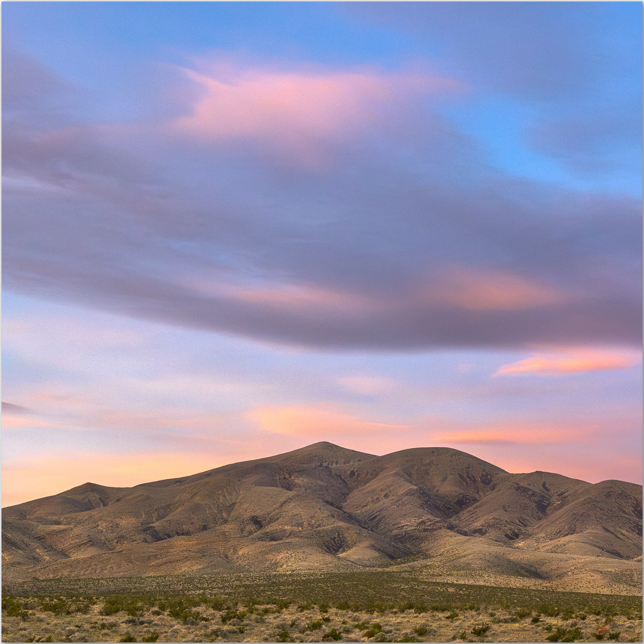
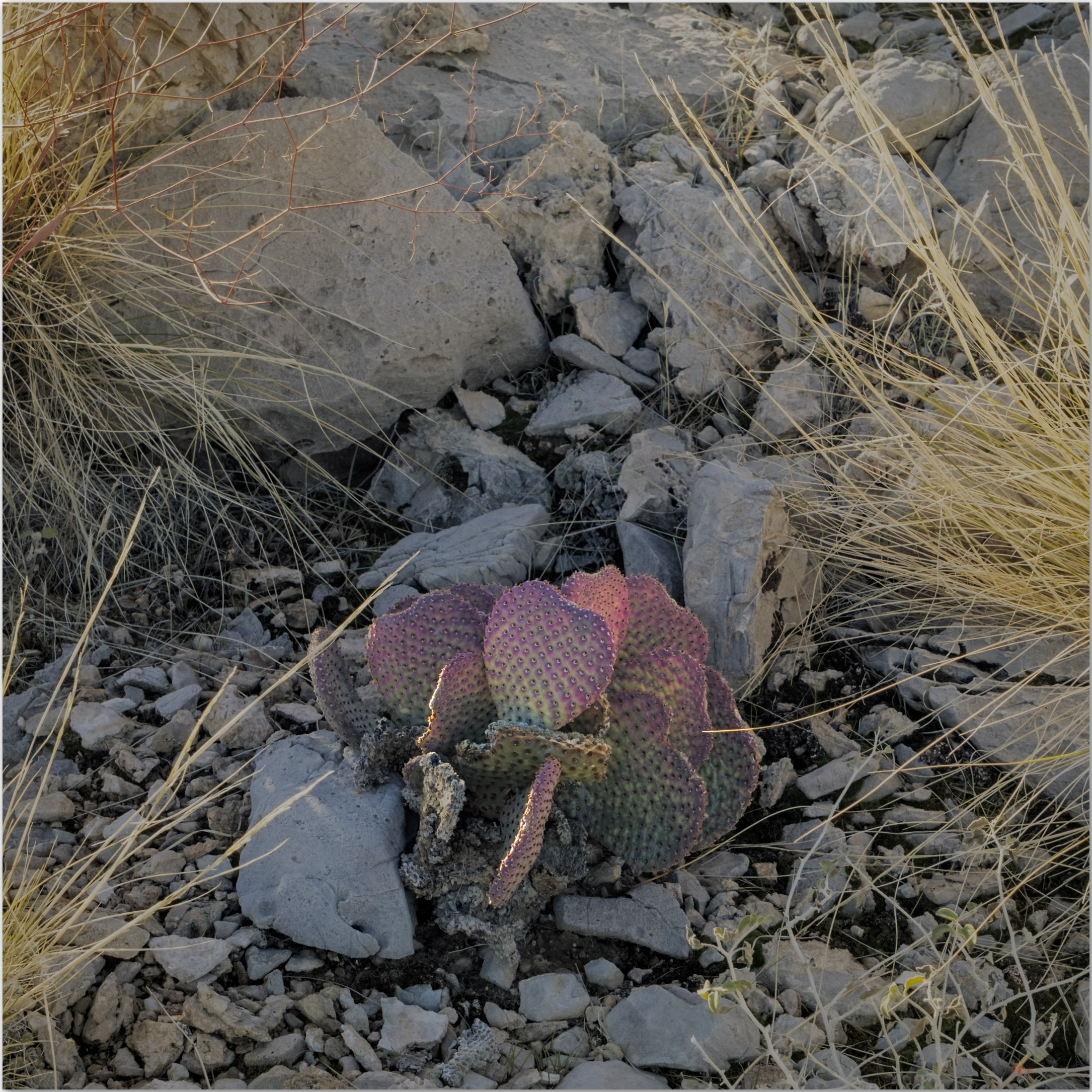
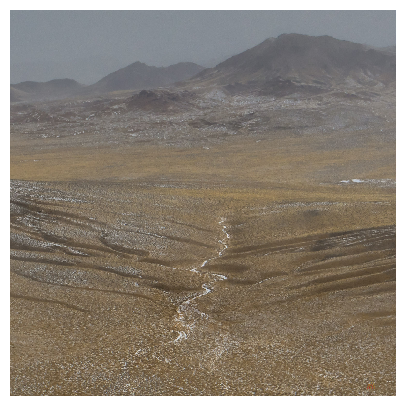
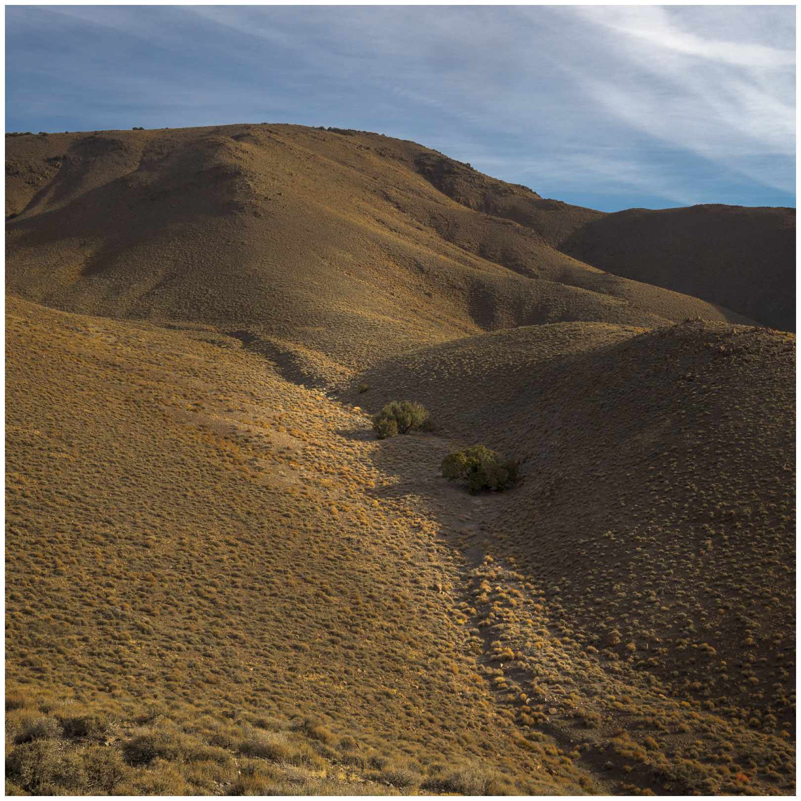
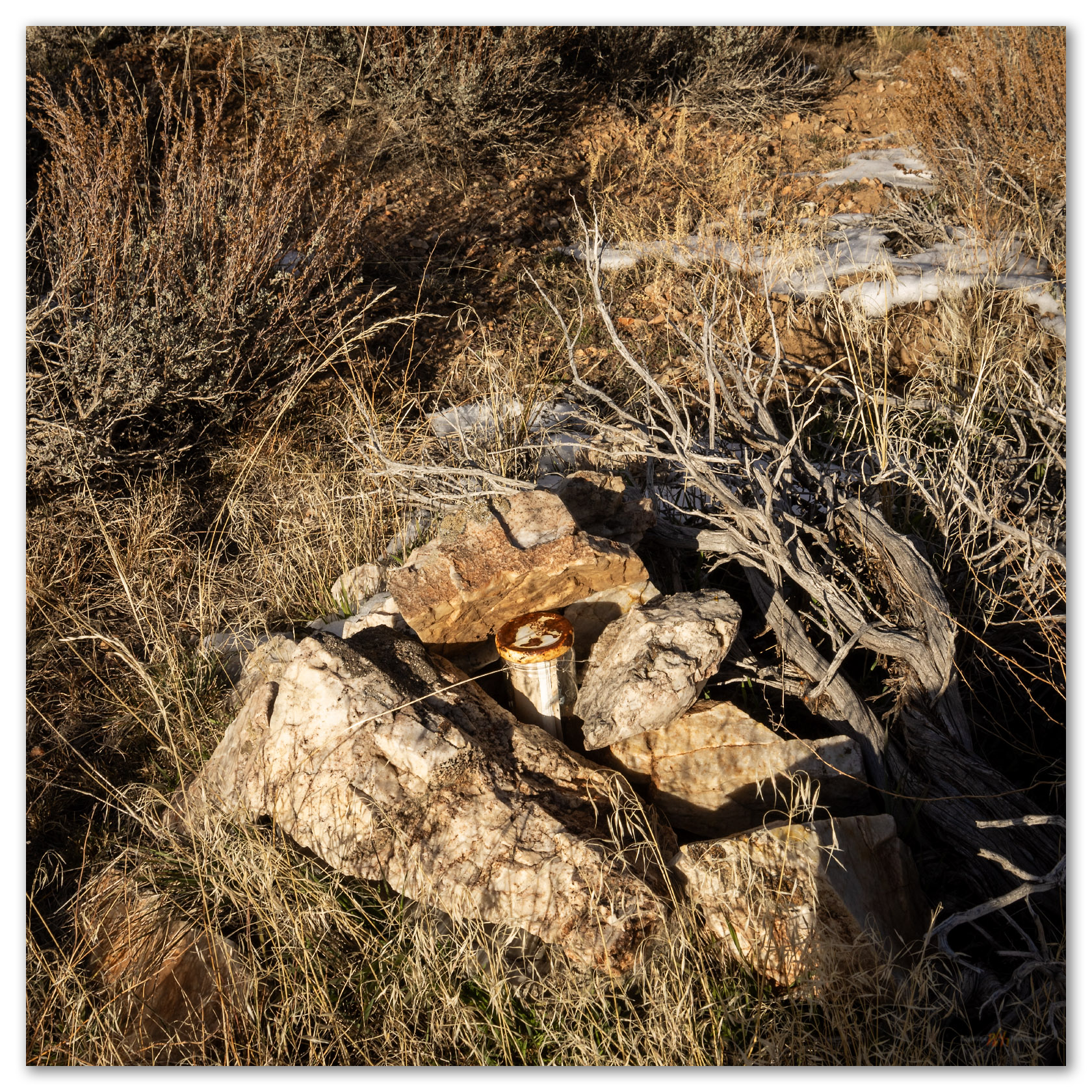
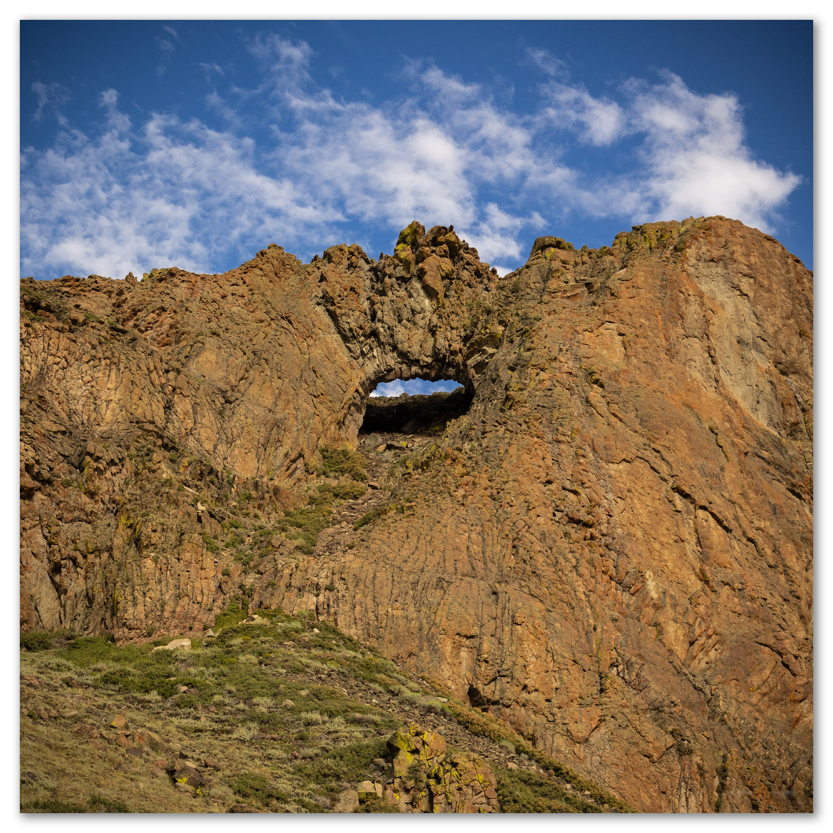
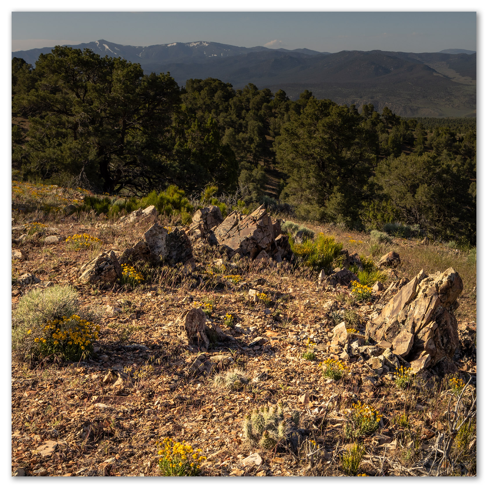
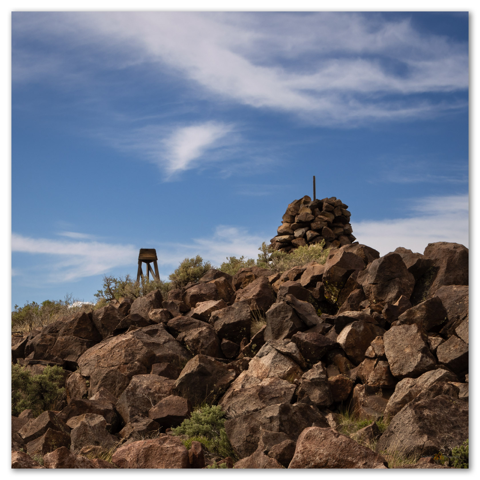
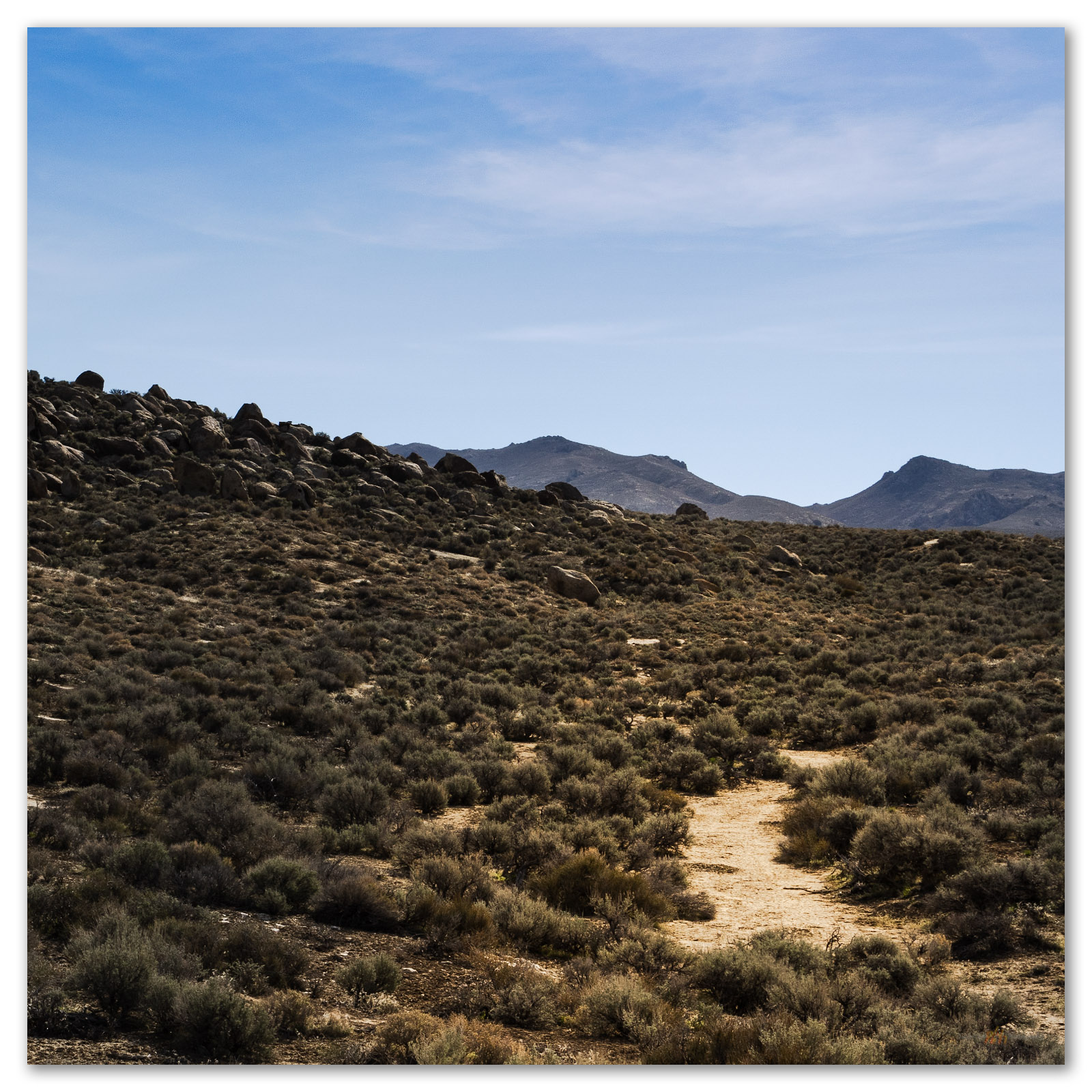
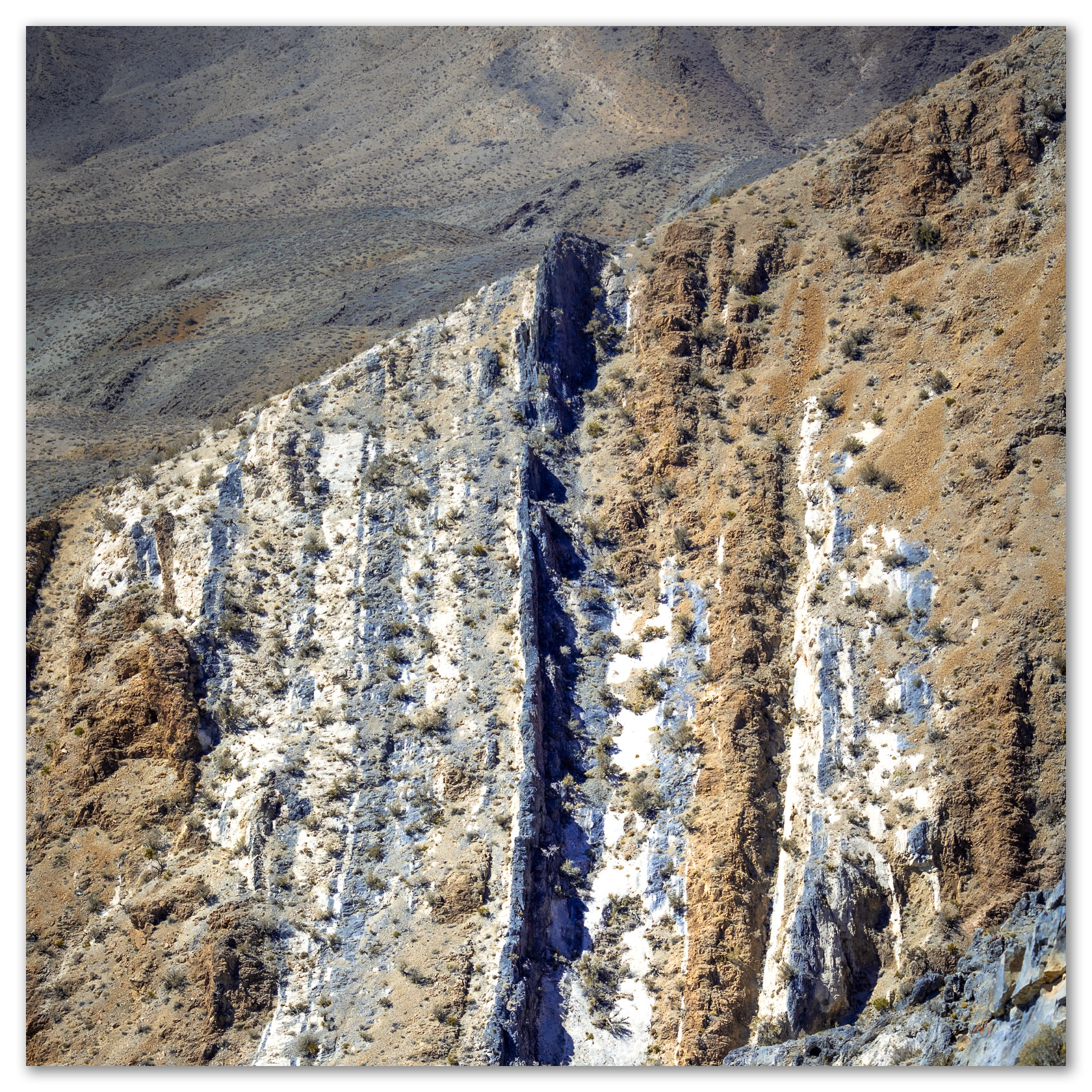
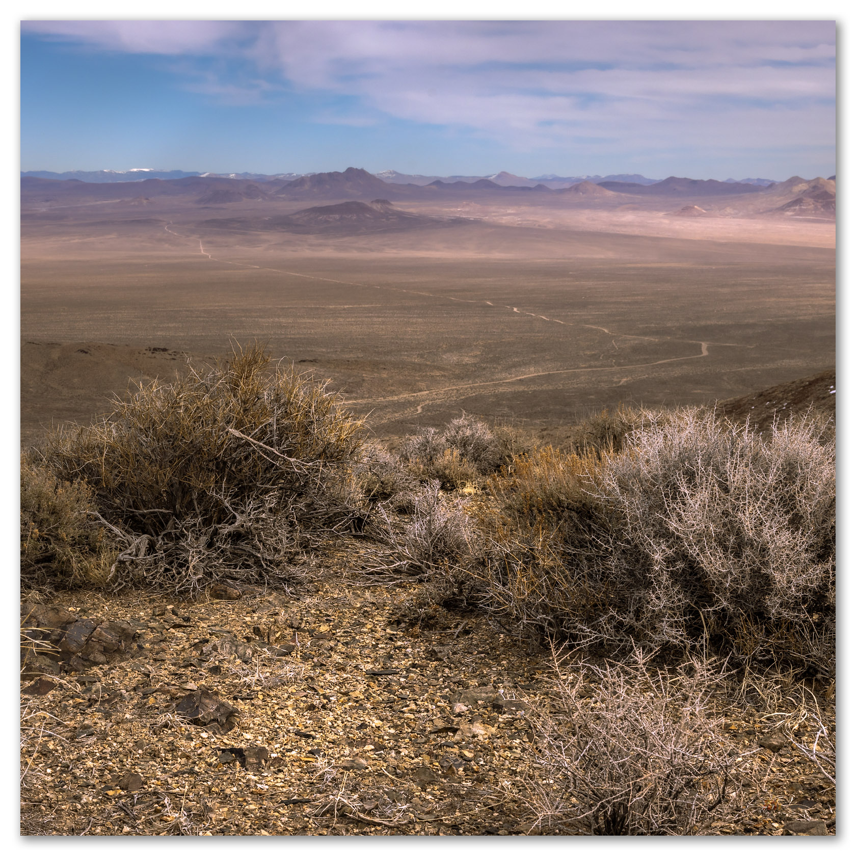
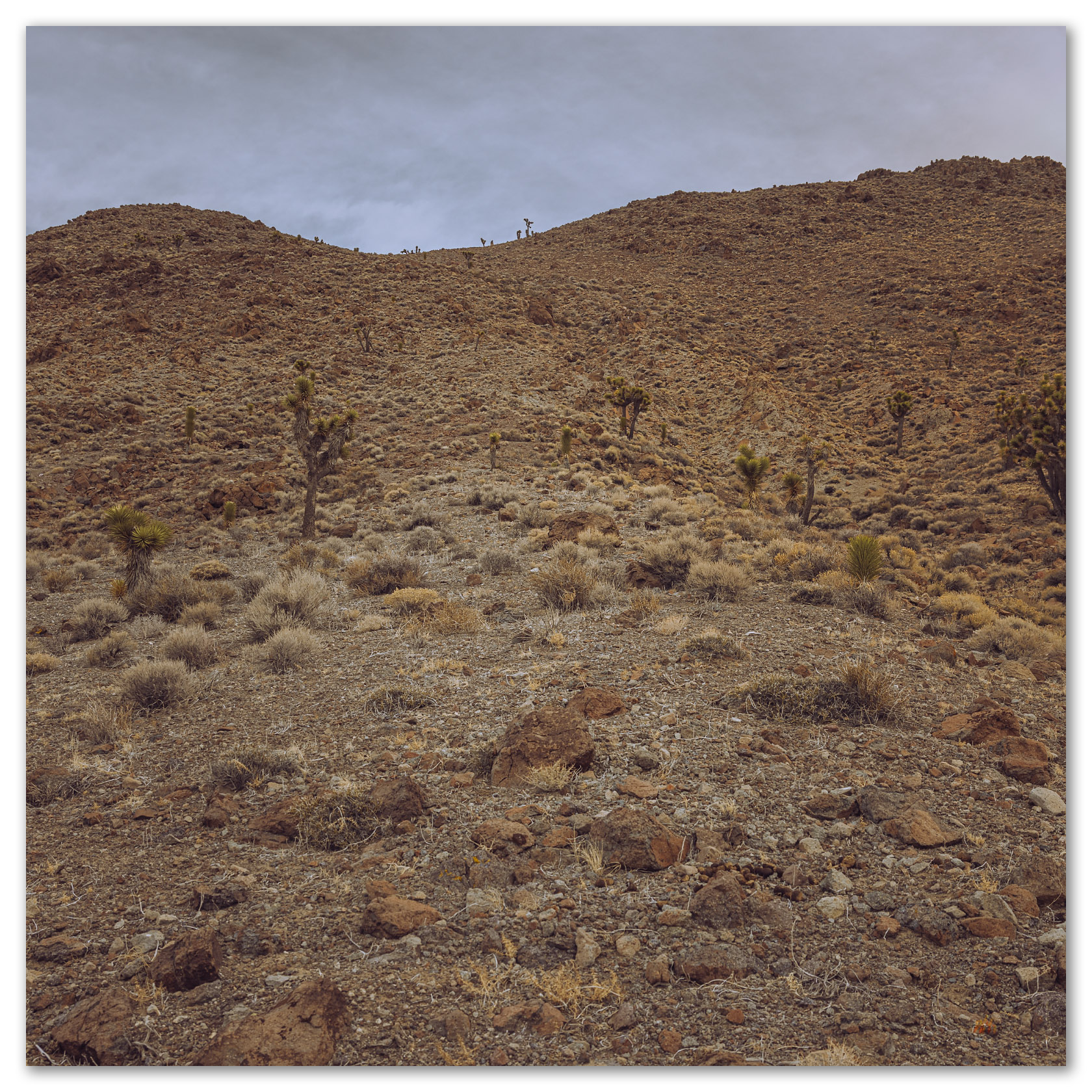
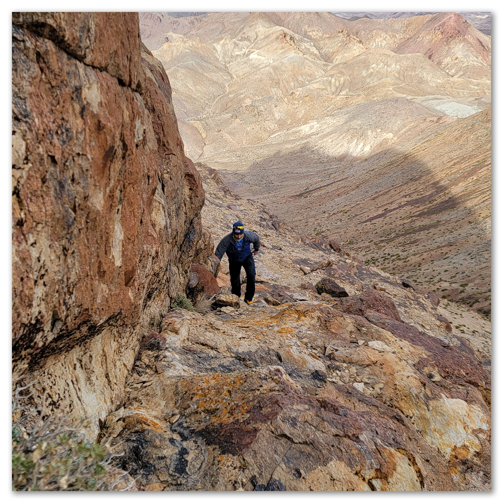
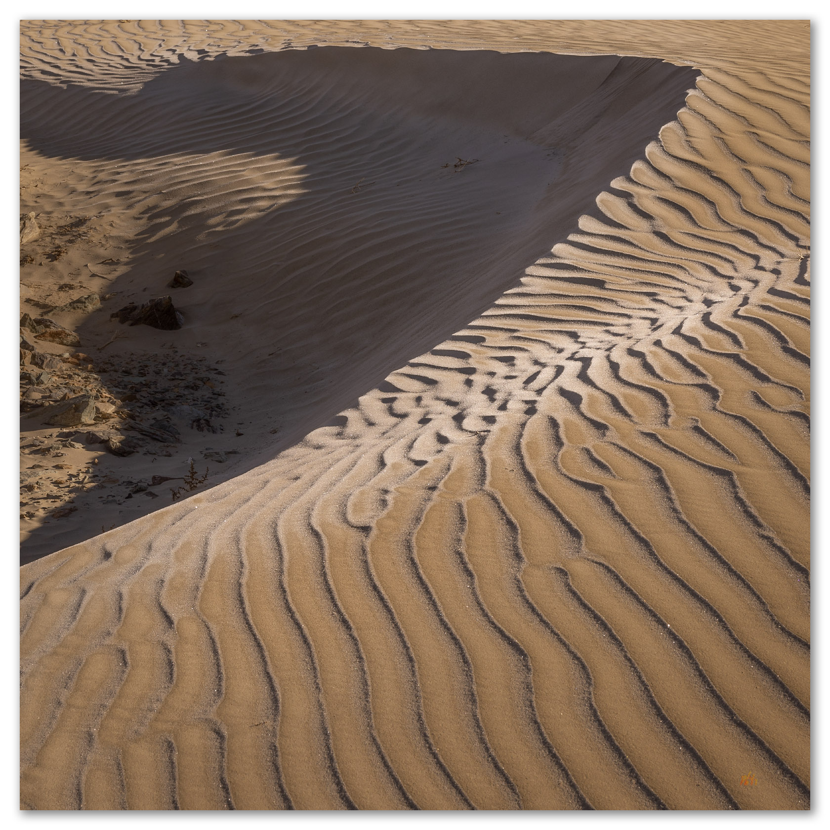
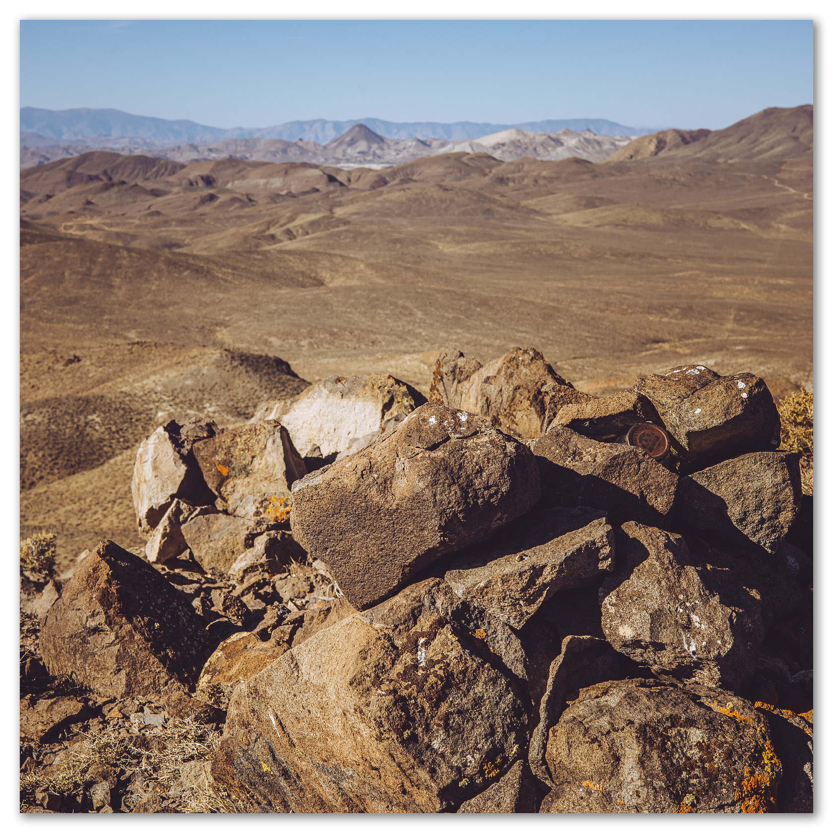
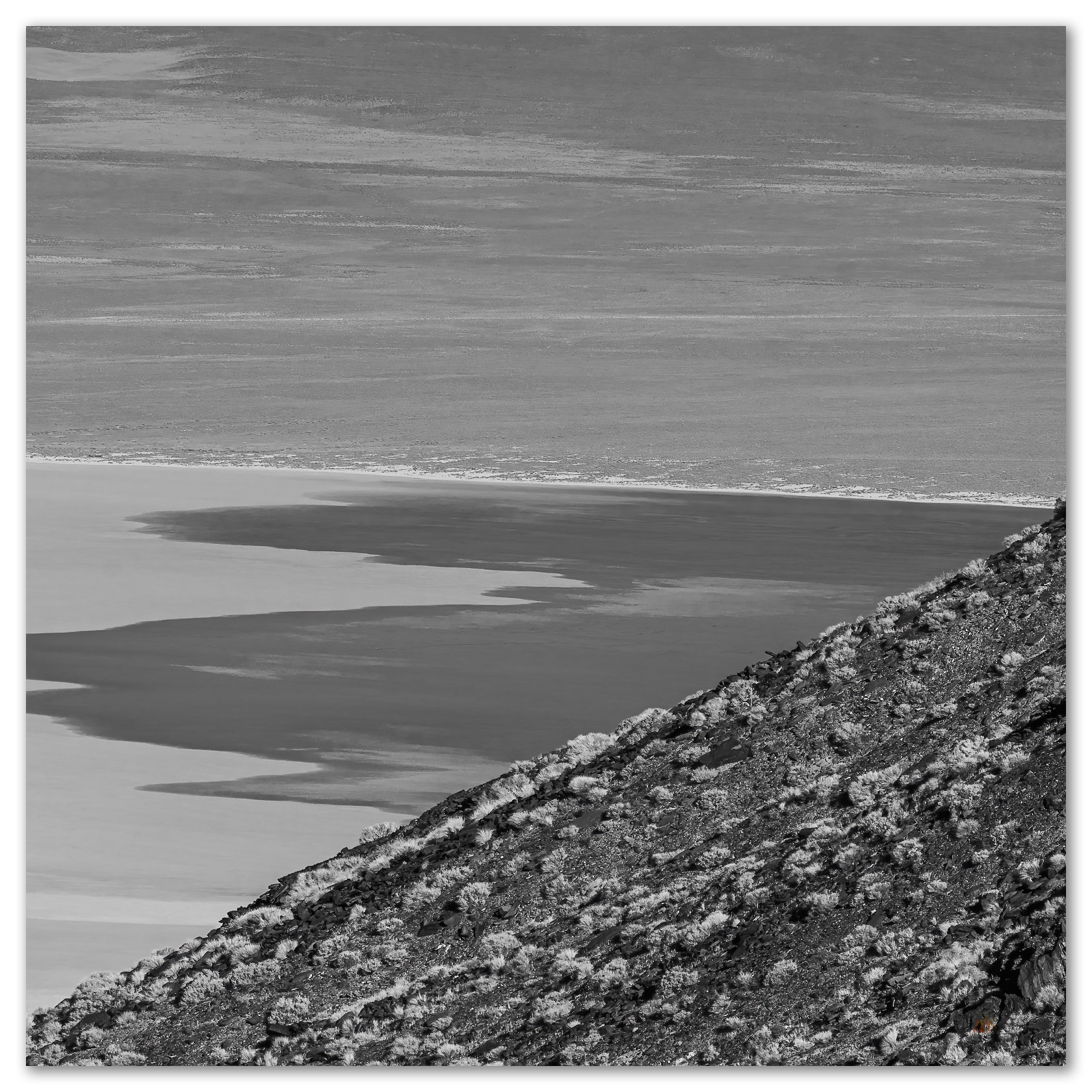
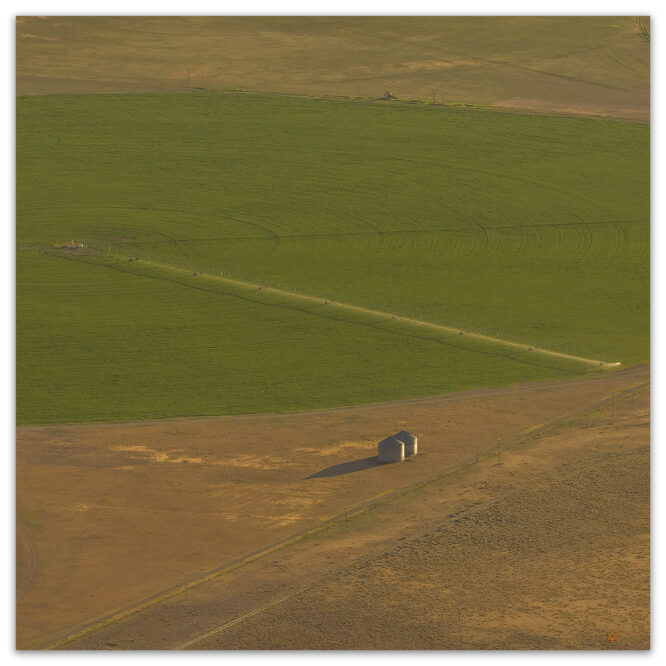
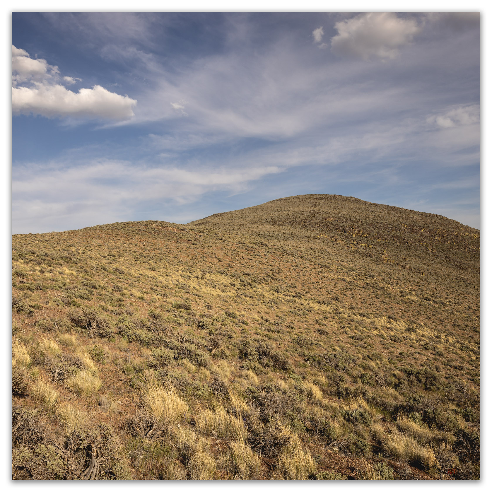
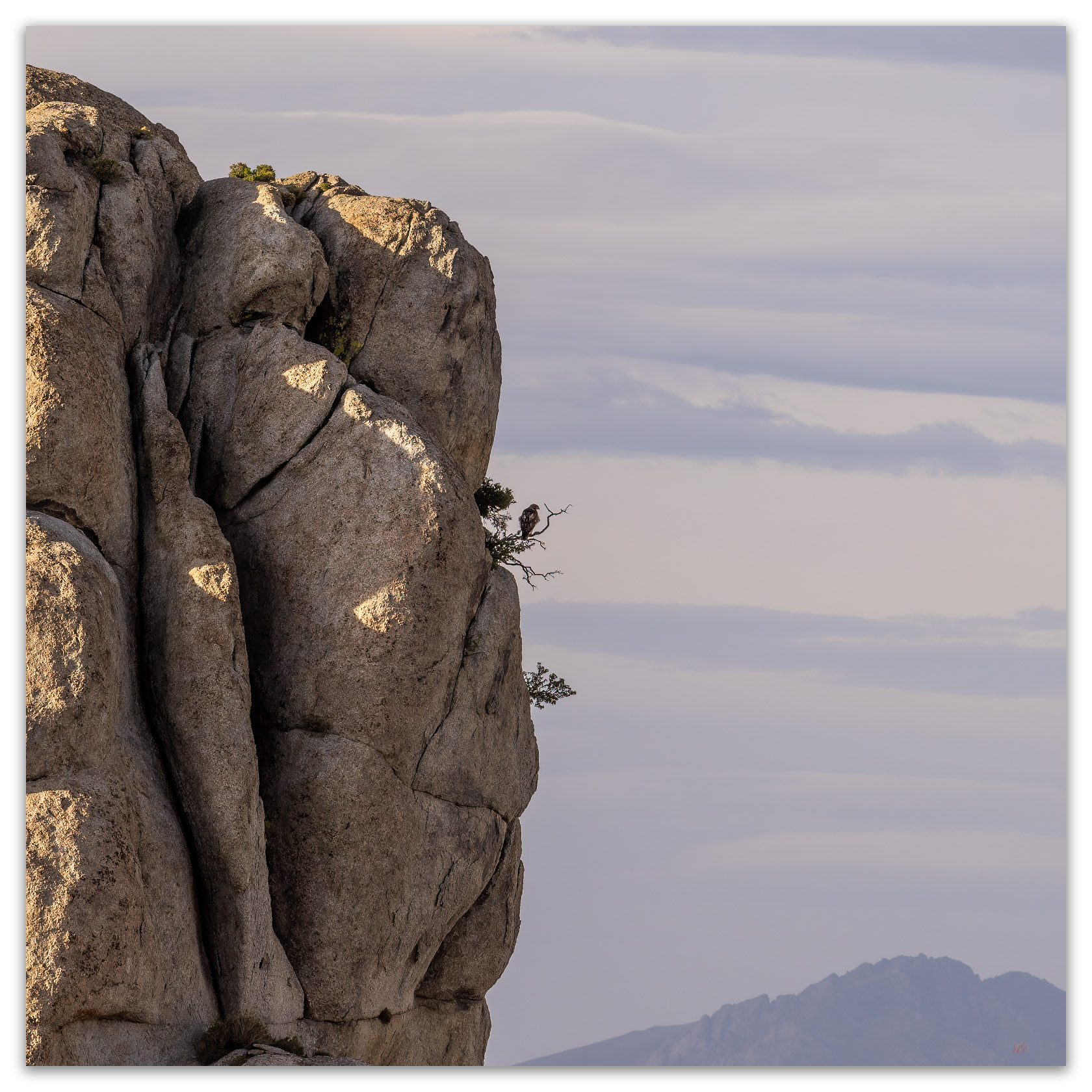
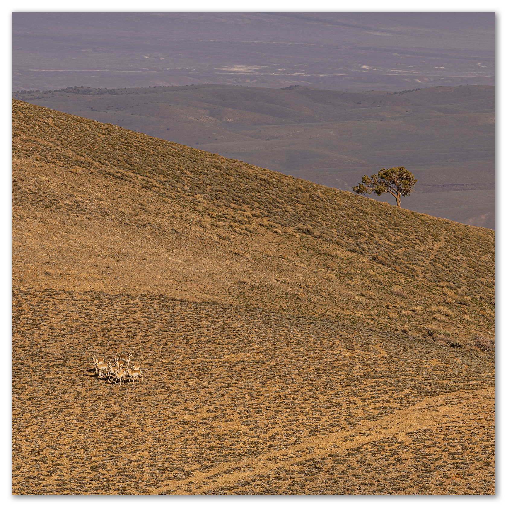
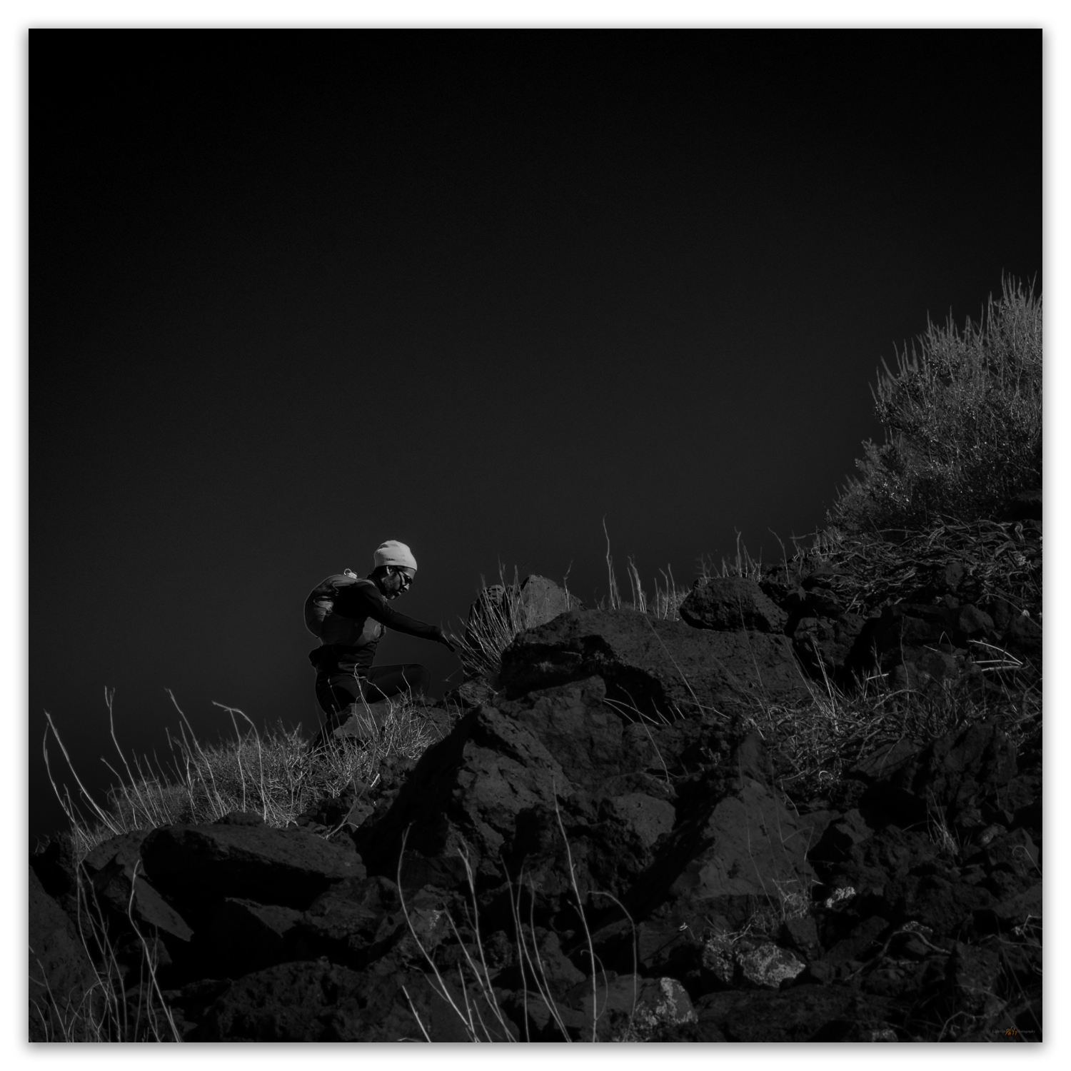
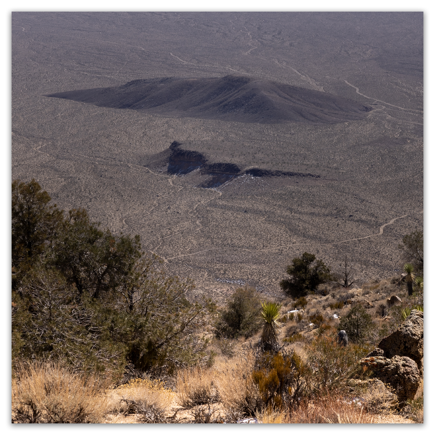
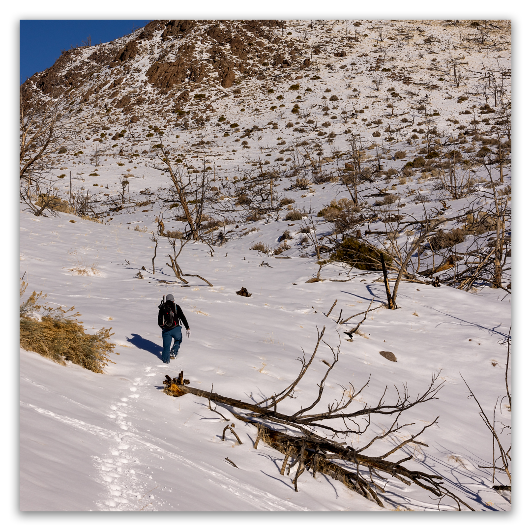
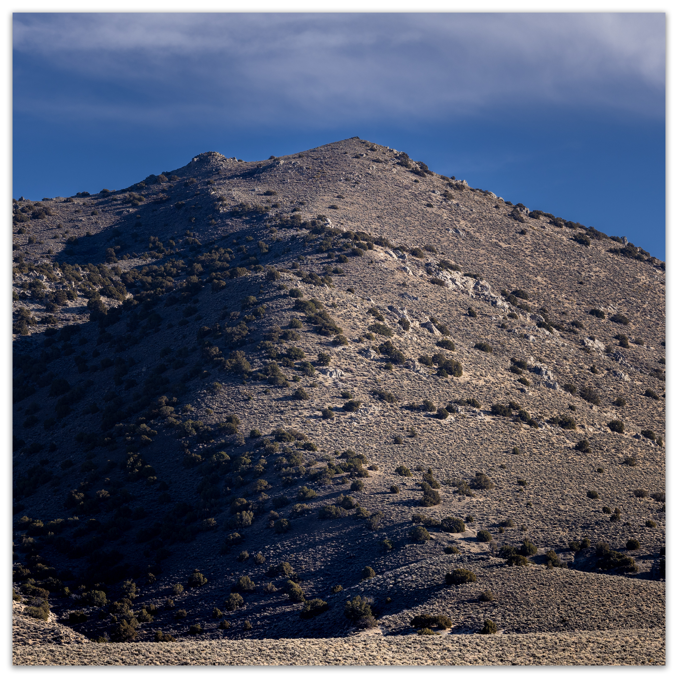
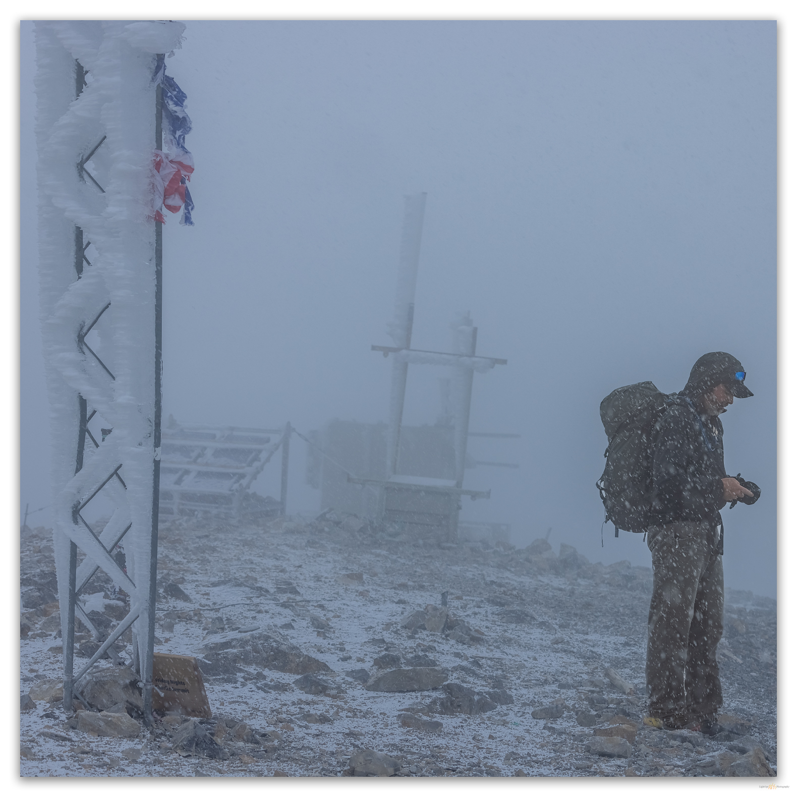
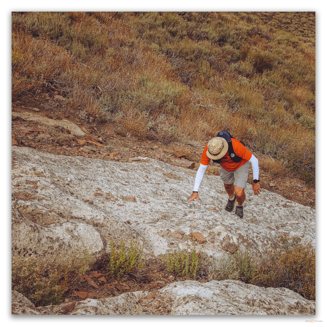
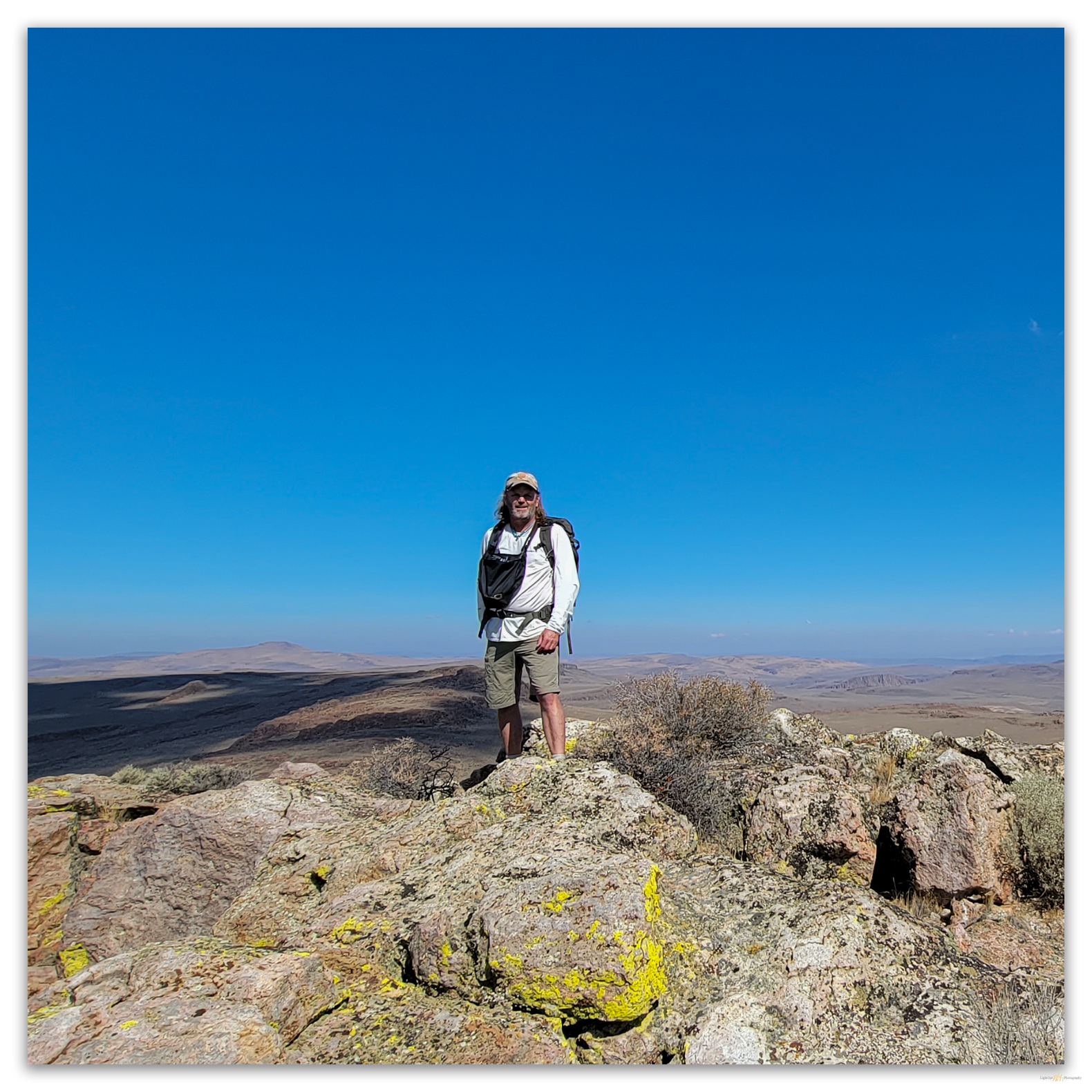
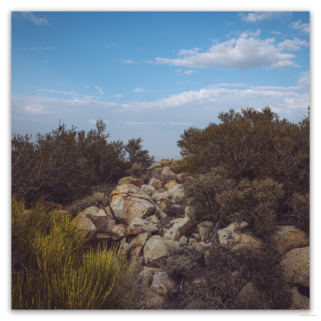
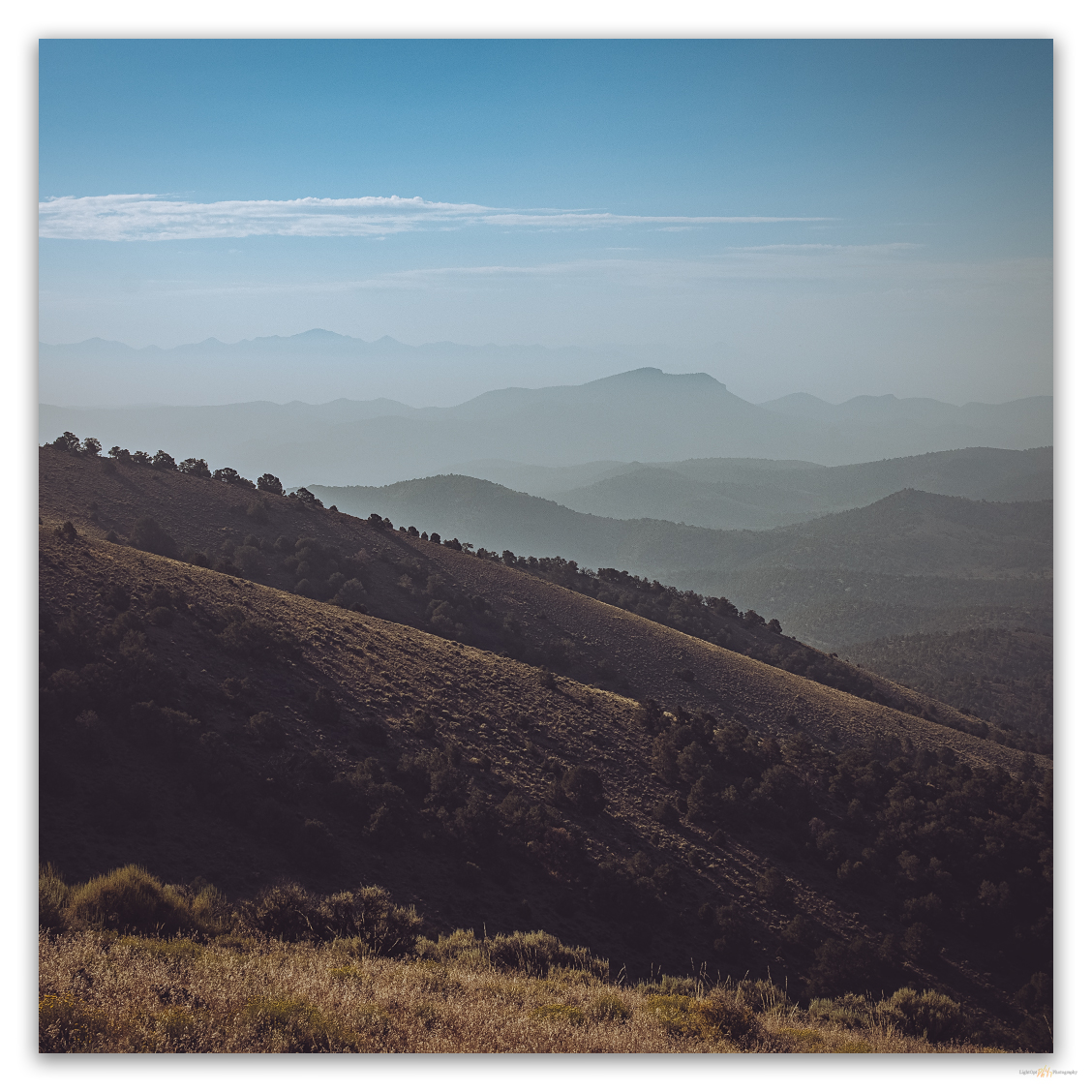
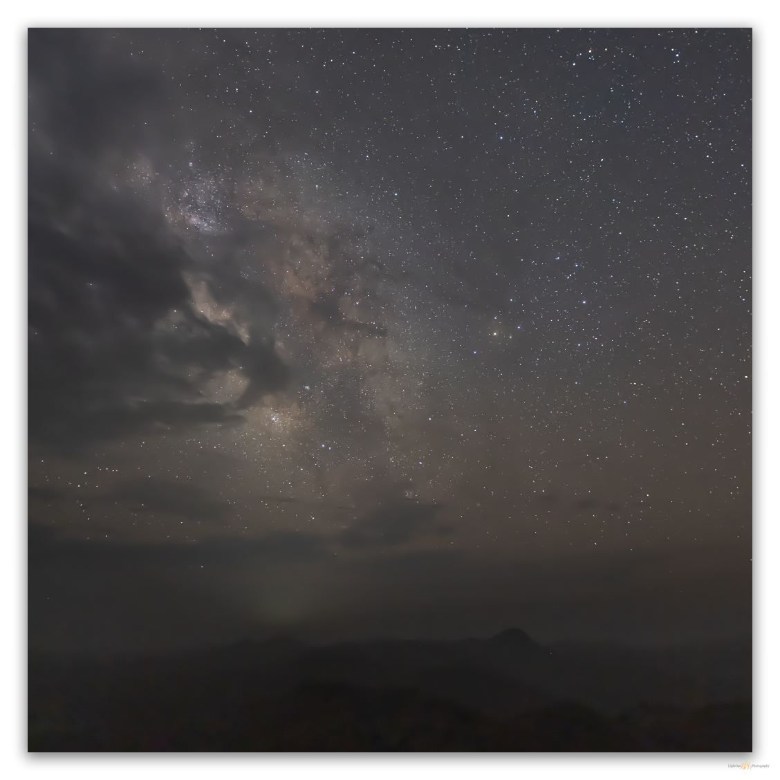
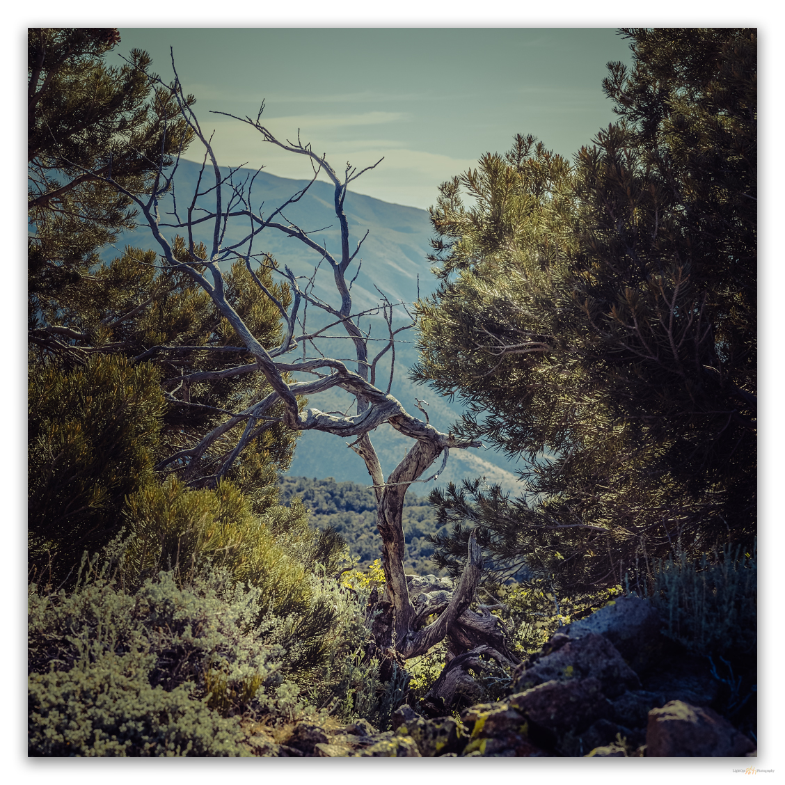
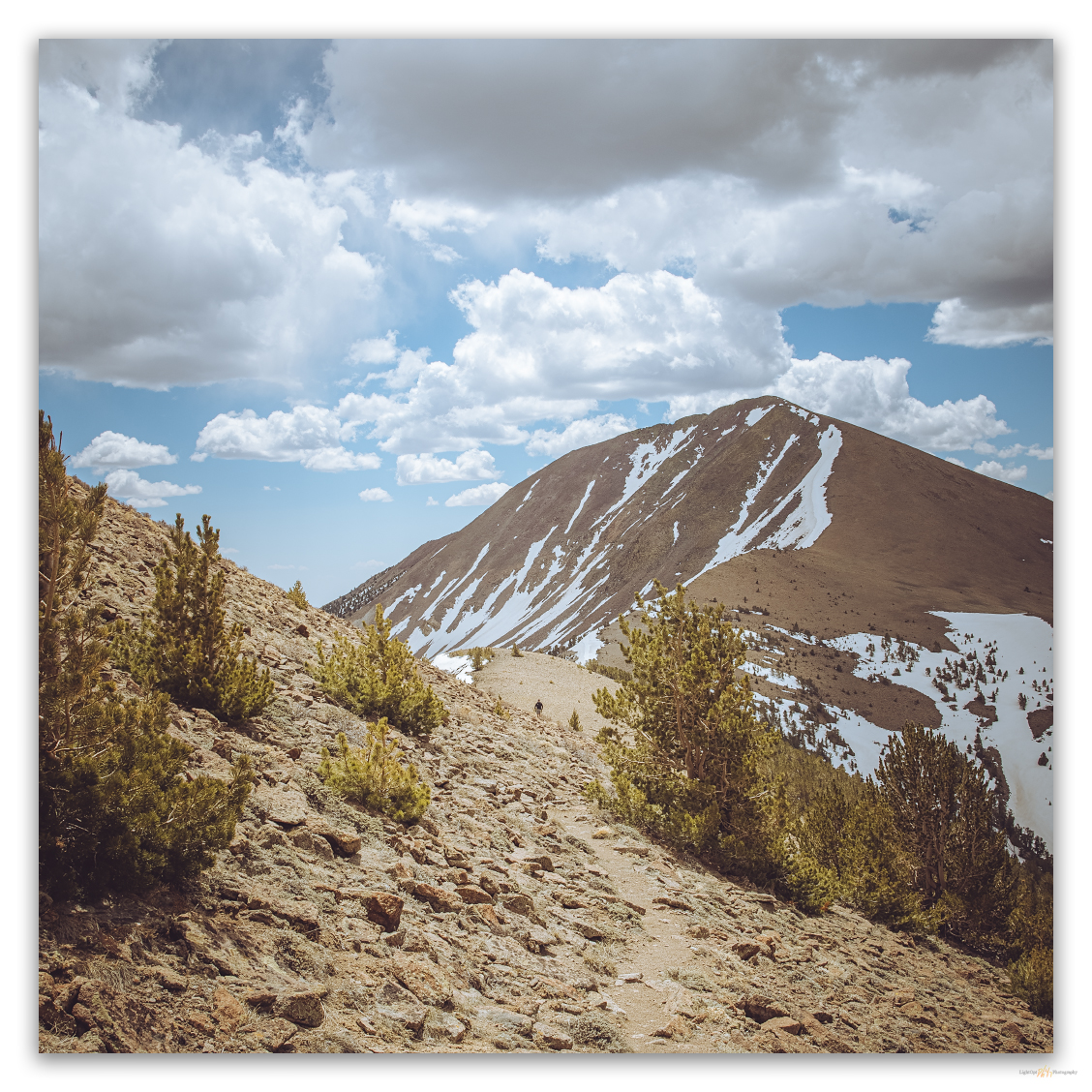
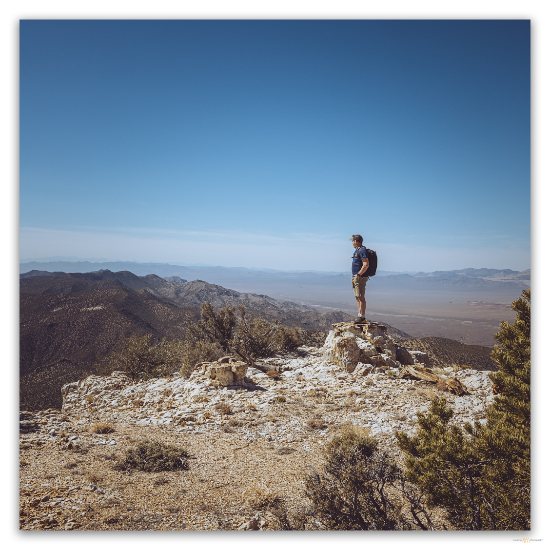
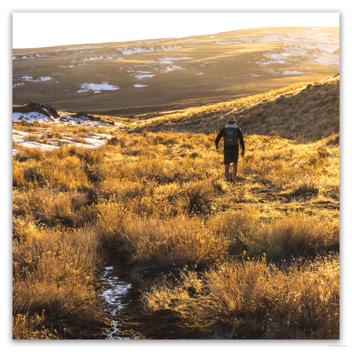
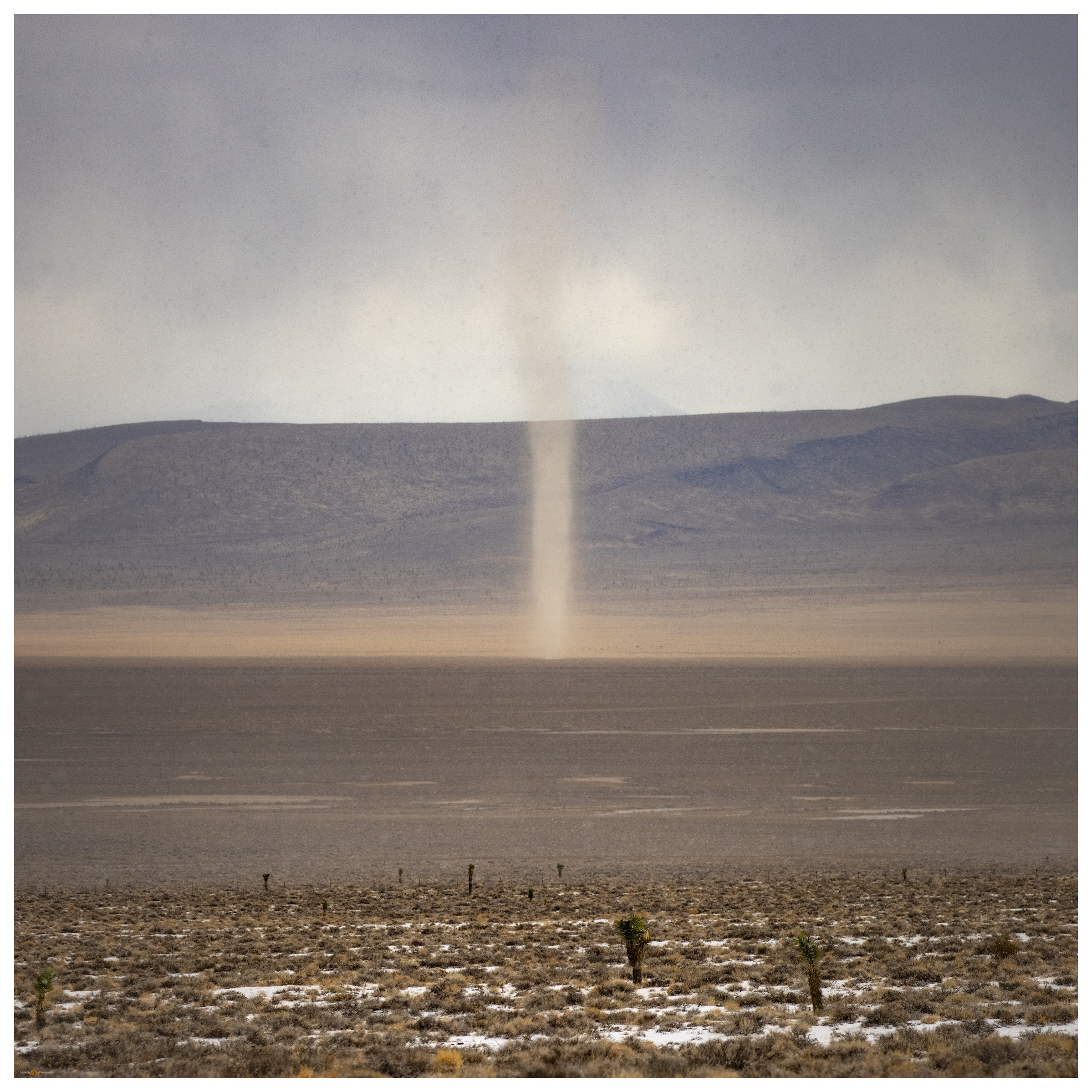
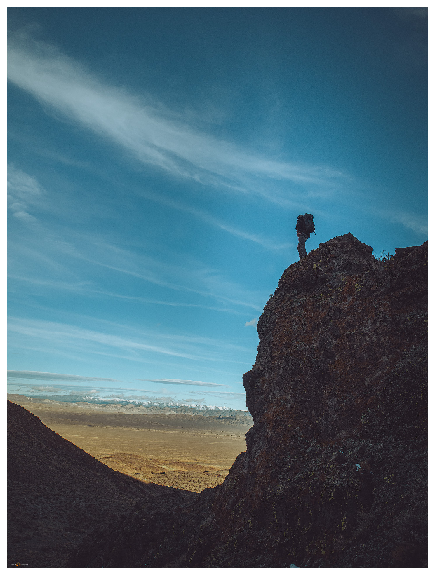
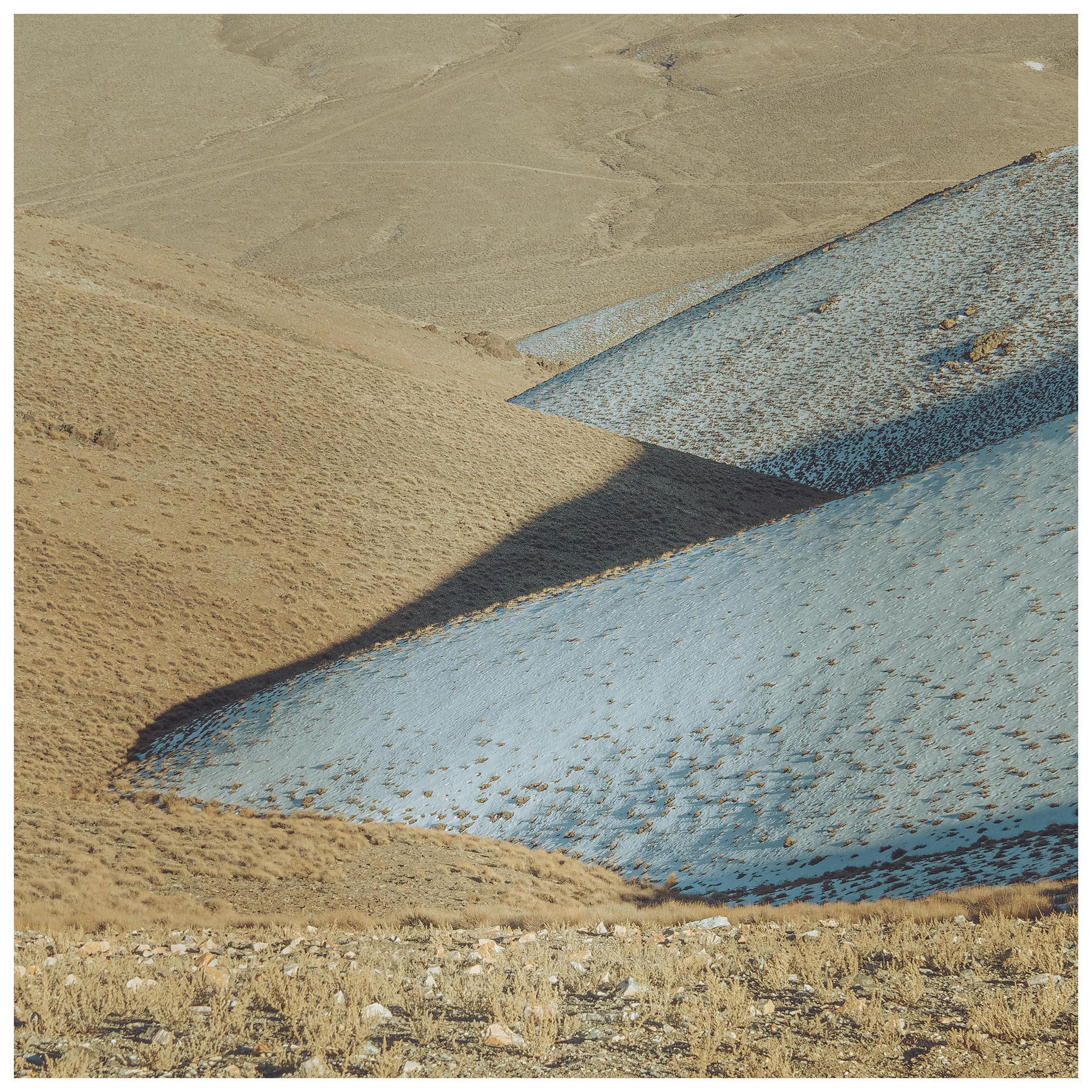
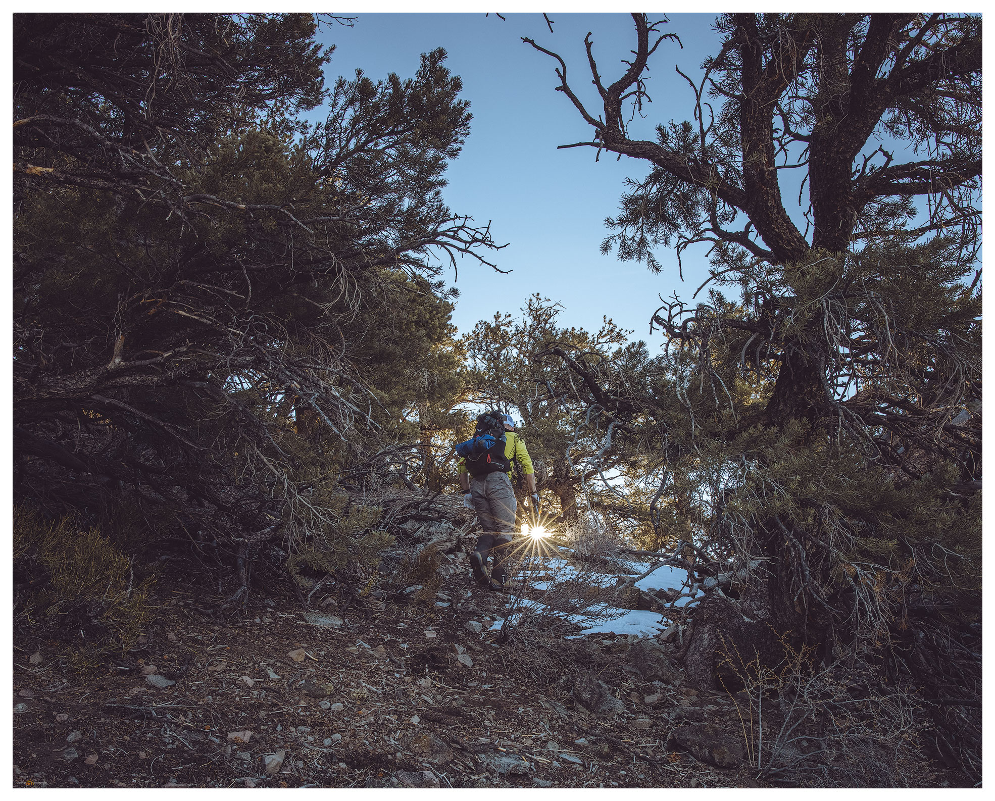
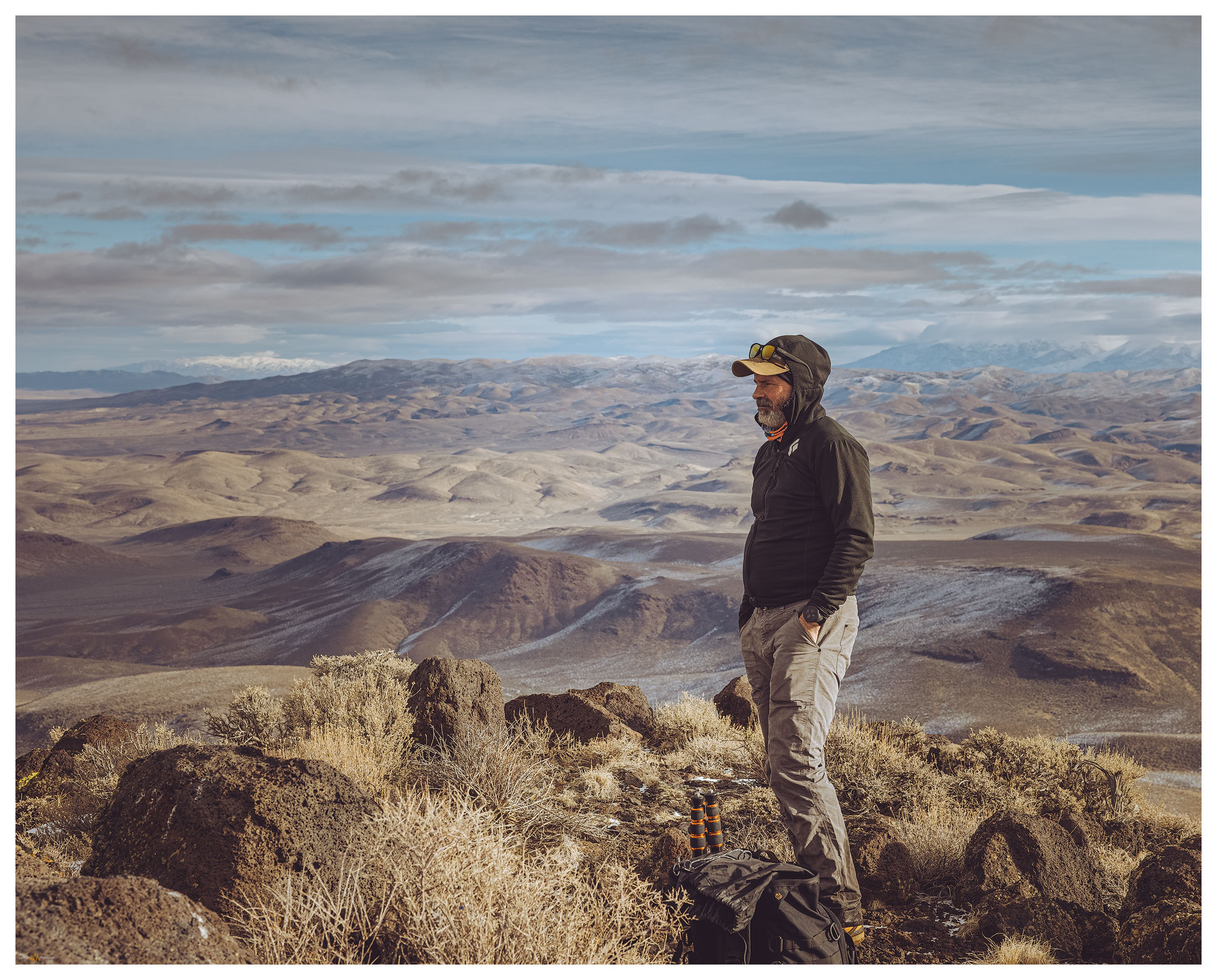
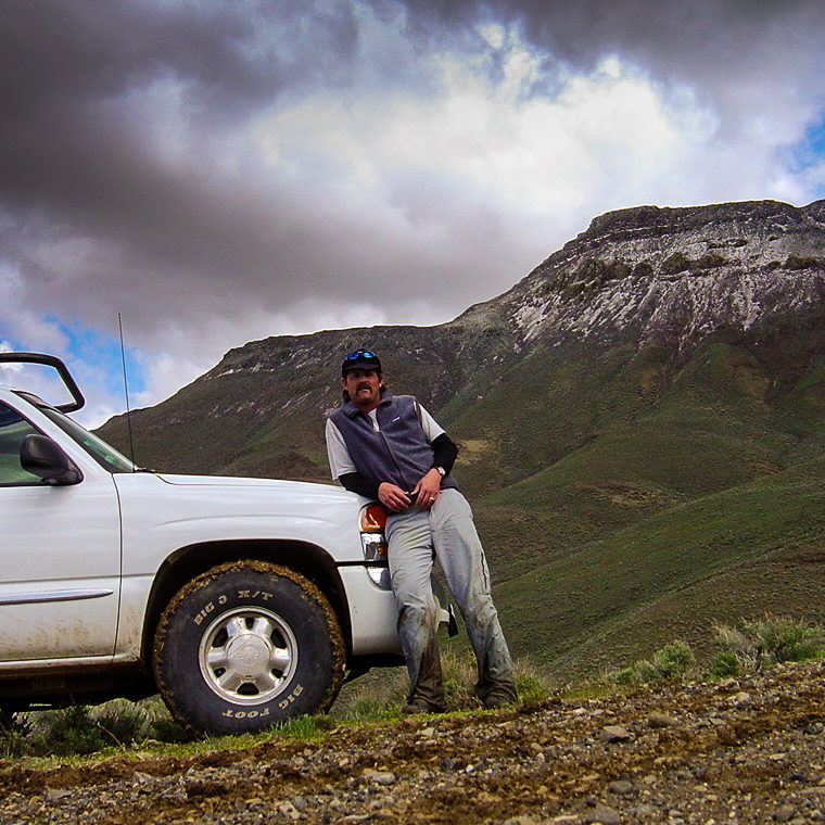
Stories and landscape photography from Nevada High Points and Overlanding excursions. While every foray, whether for a mountain walk or a landscape photography outing, is an experience in the natural world, these stories focus on my aspirational obsession with reaching the high point of each of Nevada’s 314 (or so) named ranges. Encompassing much of the extensional faulting of the Basin and Range geologic province, Nevada is the most mountainous state in the lower 48 — more named ranges than any other state. I may never reach them all, but the excursions get me into landscapes, large and small, that I might not otherwise consider. Discoveries and experiences have been wonderful, many more await.
Background information at About TrailOption and LightOpt: A Beginning. Please comment, share, and subscribe for spam-free updates on new content and upcoming plans.
Nevada High Points #119 – Resting Spring Range
I am back in the Mojave. In northern Nevada – in the sagebrush steppe of the Great Basin Desert – the transition to spring has brought a series of atmospheric rivers that vary from warm rains to several inches of new snow. Our water budget appreciates it, and the ski resorts are happy, but it lowers the potential for backcountry travel across the northern tier of the state. But late winter in the Mojave has a very different effect.
Continue Reading Nevada High Points #119 – Resting Spring Range
Nevada High Points #118 – Last Chance Range
Setting aside Second Friday gives momentum to the aspirations of finishing the list, even in its general impossibility. Yet sometimes the calendar gets pushed around – in February the push came in the form of a series of atmospheric rivers that derail my projects in southern California.
Continue Reading Nevada High Points #118 – Last Chance Range
Nevada High Points #117 – Monitor Hills
A missile, about 10 feet off the ground, marked our turn. I have driven many times past this lonely missile mounted on a pole next to Highway 6 east of Tonopah, Nevada, always wanting to take the turn and head south. There is a secured gate several miles further, but we were headed to the Monitor Hills, and not this secluded entrance to the Nevada Test and Training Range. Clear skies preceded us, and yet we had been driving through an early morning that varied between fog, rain, and snow. The weather followed closely, overtaking us as we parked at the foot of the small range.
Nevada High Points #116 – Monte Cristo Range
It is an easy hike up a narrow floodplain, the only mappable landform of recent formation and age (Qa1; <25,000 years or so) that I traverse today, then onto some moderately steep slopes. An intervening gully harbors a pair of juniper trees that catch my eye. I try to work some photos of them, moving in to look at the shapes among the low branches and gnarled bark, but sadly I flush a pair of Short-eared Owls from their daytime roosts.
Continue Reading Nevada High Points #116 – Monte Cristo Range
Nevada High Points #115 – Mountain Boy Range
Below Mountain Boy. Looking into Diamond Valley from the slopes of the Mountain Boy Range, Great Basin Desert, NV, USA Peak 8083 8083 ft (2464 m) – 804 ft gain 2023.11.09 Mountain Boy Collection Following several days of landform reconnaissance along Highway 50, across central Nevada, I met Darren in Austin, Nevada, where he had…
Continue Reading Nevada High Points #115 – Mountain Boy Range
Nevada High Points #114 – Martin Creek Mountains
We leave the road to wander the outcrops forming the ridge to the summit. The sky is a treat today and there is dust in the air, so photography is interesting and fun. We are at the summit register easily, it is only a small cairn next to the communications box. A trail east catches my attention, and I can see that this could lead into some interesting country on its way to Martin Creek, the namesake drainage that bounds the ranges east side. There are several other small ranges to walk in this area, so I am hopeful that this trail hints at others further east. Again, I forget how interesting the hills rising from Paradise Valley are, even as I lived in Winnemucca once-upon-a-time and not so far away.
Continue Reading Nevada High Points #114 – Martin Creek Mountains
Nevada High Points #113 – Whistler Mountain
I have been on a mapping excursion, developing an archaeological sensitivity model on a cross-section of Nevada, basically paralleling Highway 50. Setting camps along the way, it sometimes puts me in proximity to high points on my target list, and today I am up early for a walk up Whistler Mountain, a small mountain range rising between Diamond Valley and Kobeh Valley in central Nevada. West of Devils Cut, a prominent cut in ancient seabeds rising in gray stripes of limestone, I turn across Slough Creek to traverse along the base of relict fan lobes before turning eastward and upward on a two-track road leading into a relatively dense pinyon-juniper woodland.
Continue Reading Nevada High Points #113 – Whistler Mountain
Nevada High Points #112 – Currie Hills
I was on my way to the University of Utah in Salt Lake City, Utah, to join a couple colleagues for fieldwork across the Bonneville Basin, choosing a traverse of Hwy 50 as my preferred and typical route. With days getting to summertime length, however, I had time for a diversion. The Currie Hills rise easily about halfway on a south-to-north line between Ely, Nevada, and Wendover, Utah; I was due for a high point.
Nevada High Points #111 – Pahsupp Mountains
I am headed toward the Pahsupp Mountains, where a prominent block rises above Trego Hot Springs at the playa margin, but the range’s high point is stretched out to the south as Dry Mountain (6,526’). As I turn away from the playa, the usual landmarks having long faded into the night, my view is confined to flashy, narrow strips of rabbitbrush bright at the dusty road margins. A jackrabbit darts through the high beams on occasion; hard to tell, but I don’t think it’s the same one each time.
Continue Reading Nevada High Points #111 – Pahsupp Mountains
Nevada High Points #110 – Lodi Hills
Occasionally, a highpoint excursion takes me into an area where our field teams are working, and this provides a good opportunity for a closer look at the landscape surrounding our project efforts. I left home early thinking I would get to the base of the Lodi Hills – my highpoint target on the day – to cover the relatively short, easy walk above Gabbs Valley in west-central Nevada; afterward I might check in with the crews to see how things are going.
Nevada High Points #109 – General Thomas Hills
The winter snows seem endless, the foothills of the Carson Range releasing the cold moisture from the lake effect that streams out of the Tahoe Basin. The Sierra snowpack is trending toward record depths, and we benefit from the overflow that has been prevalent this season. It does not look to be letting up as the atmospheric rivers remain productive. It means, however, that I must head farther south to find dry ground to explore. So, I am out early on Sunday morning – still a Second Friday weekend – and headed toward Tonopah where dirt will lead me into the General Thomas Hills, an easy-day outing.
Continue Reading Nevada High Points #109 – General Thomas Hills
Nevada High Points #108 – Goldfield Hills
Sitting at dinner in Beatty, after our nice afternoon in the Bullfrog Hills, Darren and I decided we would explore another small range on our drive home. The Goldfield Hills are a jumble of irregular hills around the mining town of – of course – Goldfield, Nevada. Mine tailings, head frames, and shacks mingle around prospects, some active, most not.
The thing about mining towns…
Nevada High Points #107 – Bullfrog Hills
I have been turned away twice from Sawtooth Mountain, the high point of the Bullfrog Hills near Beatty, Nevada. Dressed in a crown of radio towers, the Bullfrogs do not seem a formidable obstacle; there is even a road heading up their western side. They are, however, a bit of a puzzle.
Nevada High Points #106 – Paymaster Ridge
We missed a month – the move is complete, finally – but are in the Great Basin outback for December. It is another small set of hills as we head to Clayton Valley, a good winter excursion, to explore Paymaster Ridge. There is a cluster of named ranges here. In some ways the ranges are arbitrary; difficult to tell whether the named divisions are based on geologic structure, topographic prominence, or simply cartographic creativity.
Nevada High Points #105 – Sinkavata Hills
I awoke well before sunrise and, with relief, drove east into the desert of the western Great Basin. One benefit of Nevada’s multitude of named ranges (325 on my list) is that there are many smaller sets of hills and relatively low mountains that I can save for quick approaches with relatively little planning.
Nevada Highpoints #104 – Bluewing Mountains
It’s hot. The sky is clear, and a parched blue horizon rests abruptly on the dusty brown of the Nevada desert. It is August, of course, when desert landscape photography is a challenge. It’s difficult to think about photography or exploring another high point when the heat is so seemingly relentless. It also seemed I could not escape from work today, so my departure moved later and later, and I considered turning around for home even as I approached my turn-off along the southern margin of the Black Rock Desert playa. I cannot, however, let the noise of the day-to-day get so overbearing that I can’t find rest in the wild.
Continue Reading Nevada Highpoints #104 – Bluewing Mountains
Nevada High Points #103 — Montana Mountains
Motivation is hard to find in the long, repetitive days of summer. The Great Basin Desert seems to curl and fold within itself, even as hazy heatwaves dance across the expanse. The high-pressure domes that keep moisture at bay seem to press downward and inward, sapping energy and making the horizons of endless days barren of interest. I have been in a holding pattern of field days on projects, day-after-day, rarely home for any comfortable time; the repetition threatening to deplete much interest in pursuit of geodata, of photography (either documentarian or creative), and – I’m surprised to admit – of exploration.
Continue Reading Nevada High Points #103 — Montana Mountains
Nevada High Points #102 – Pinto Peak
With basin-and-range faulting, several small ranges form the rough bounds of the much older caldera. Obsidian that formed during the eruption drapes many area landforms, so I have been gouging around this area for several decades mapping the natural distribution of this traditionally important toolstone to provide geographic setting for archaeological study of the technology, movement, and economy of people who have called northern Nevada and the larger Great Basin home for millennia – the geochemistry of obsidian provides direct connection to these things.
Nevada High Points #101 – Slumbering Hills
There is something in the Slumbering Hills. The unnamed high point is below 7000 feet in elevation and there are few riparian areas, only scattered springs, and absolutely no trees. Cheat grass and desiccated plants of sagebrush and saltbush communities show the struggles of fire and scabby recovery; mining pits and piles pock the numerous roads and tracks that traverse the range. It seems unappealing and easily unassuming from the highways where one glimpses higher, snow-capped mountains that rise in the distance, drawing sightlines to obviously higher horizons.
Nevada High Points #100 – New Pass Range
Big, round numbers are cool, and here I am at High Point #100. It is simply a step on the journey, but it is also a great measure of motivation and experience in getting here. I started this quest in 1995 visiting high points in earnest for a couple years until, some would say, bigger responsibilities got in the way. But like the 100-mile ultraruns I have completed, the long experience takes time and consists of many unique steps on many different trails. It is the process that matters.
Nevada High Points #99 – Cocoon Mountains
. I have watched this small, obscure range pass my windshield many times as I skirt the dune of Sand Mountain on Highway 50, east and west across Nevada. Now, beyond the dust of the sink, Robert and I turn south into lunette dunes of the Turupah Flat, at the sill of Salt Wells Basin, pushing along a rocky road around the foot of the Bunejug Mountains to reach the sandy foot slopes of the Cocoons. The road soon dug into the sand of lake-margin dunes; locking into four-wheel drive we moved easily onward – maybe fifteen miles beyond pavement.
Nevada High Points #98 – Gold Mountain
It was finally time to get back to a desert high point – my string of monthly highpoints having been broken by a wonderful trip to Patagonia and Atacama Desert in Chile (stories and images coming soon).
Although we have not had good precipitation in 2022, a couple slider storms have left dustings in the high country and access can be an undesired, muddy adventure as early runoff continues. With this in mind, Darren and I ventured southward into the Mojave to find the south-facing slopes of Gold Mountain above Bonnie Claire Flat.
Nevada High Points #97 – Paradise Range
Winter’s coming, and the first snows have arrived. Although it snowed a little at StoneHeart in Carson Valley, I had watched the storms reorganize over the central Great Basin. How much would there be in the Paradise Range near Gabbs, Nevada? Well, a lot more than I thought.
Nevada High Points #96 – Sahwave Mountains
Although the forecast remained stable with blue skies as far as any meteorologist could see, I figured it was a good day to get into the Black Rock area and explore the Sahwave Mountains. This small but interesting range is tucked into what I call the Bluewing Triangle, that expanse south of the Black Rock playa, east of the Nightengale Mountains, northwest of Interstate 80 and the Humboldt River. There are lots of little ranges in here, and very few people.
Nevada High Points #95 – Palmetto Mountains
I had planned to get out early for Second Friday, but because my brother, Darren, could not join this weekend and my back had spasmed oddly yesterday, I slept late. The schedule had changed anyway. I now planned to meet colleagues in Owens Valley for a drone mapping project in the Inyo Mountains, so my journey into the Palmetto Mountains and their high point of Harvey Peak is a prelude to that.
Continue Reading Nevada High Points #95 – Palmetto Mountains
Nevada High Points #94 – Bird Spring Range
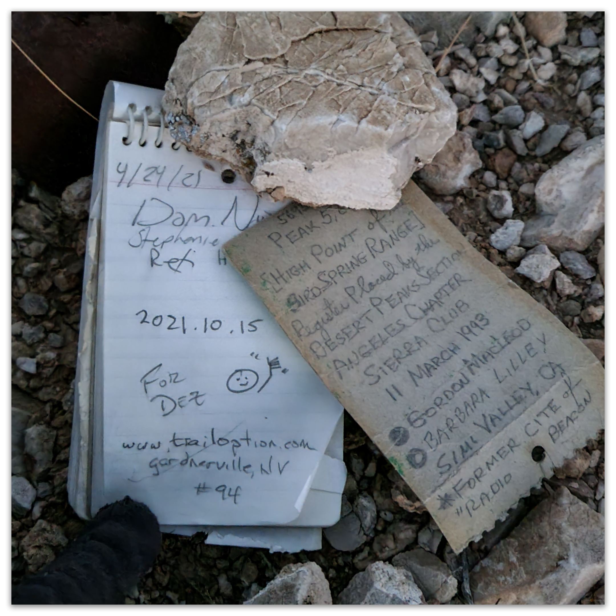
Peak 5695 5695 ft (1736 m) – 1050 gain 2021.10.15 Peak 5965 – Bird Spring Range Photo Collection Thankfully, my time in Vegas was about over. Leaving the conference hotel in the early evening, I worked my way south toward Jean, Nevada, eventually turning west toward Goodsprings. I hit the flaggy cobble-strewn track cut into…
Nevada High Points #93 – River Mountains
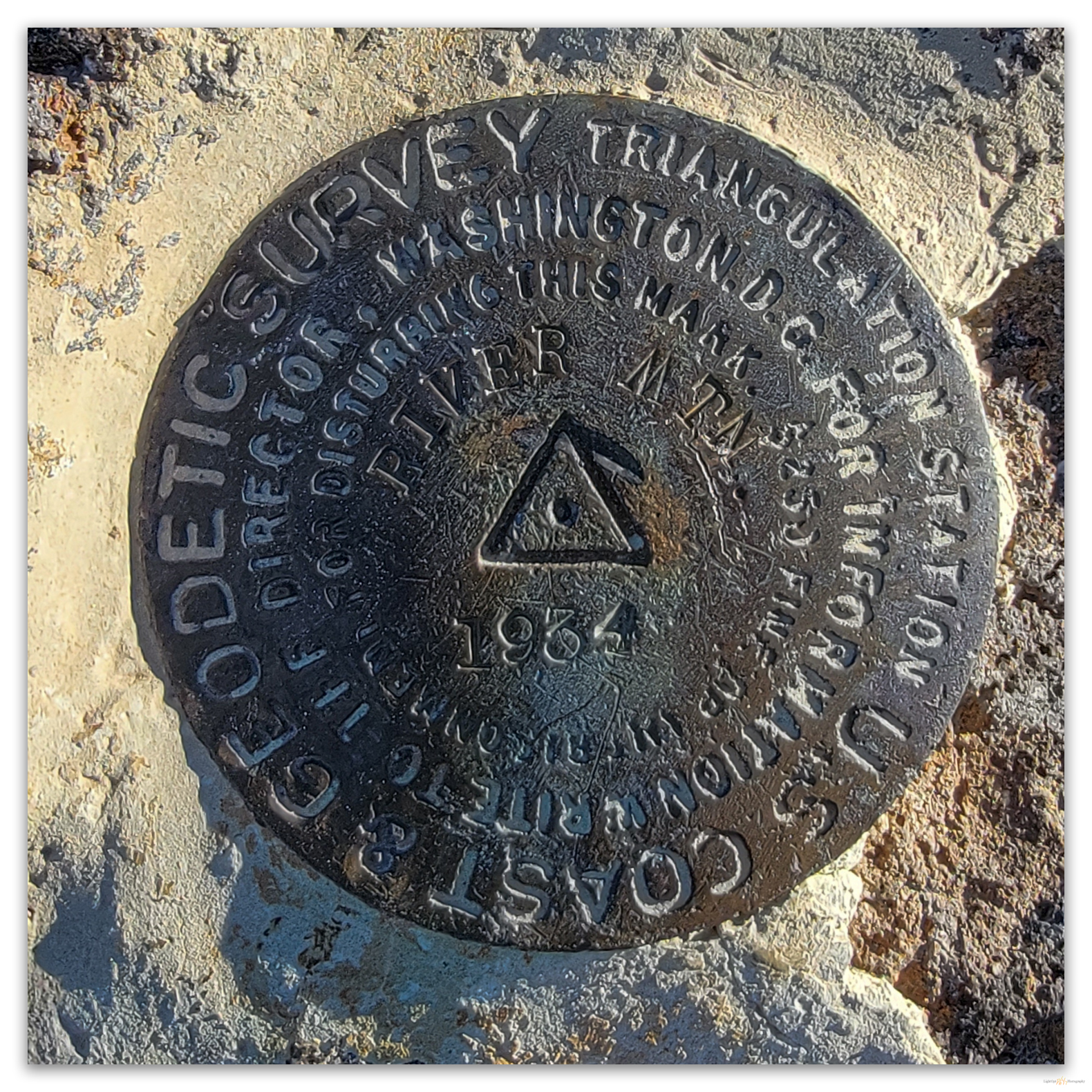
River Mountain 3789 ft (1155 m) – 1013 ft gain 2021.10.13 Away from hotel early, going for two days in a row. If I must hang around Vegas for the week, I can focus on a few highpoints in some of the smaller local ranges. Continuing east of the city, I shift southward from the…
Nevada High Points #92 – Frenchman Range
Frenchman Mountain 4052 ft (1235 m) – 2400 ft gain 2021.11.12 I slept much better in Kyle Canyon the other night. The past two nights, however, have been strange. I have a room at the Flamingo in Las Vegas; it is a perfectly fine room with a nice view, but I feel trapped. Although I…
Nevada High Points #91 – Spring Mountains
Charleston Peak 11,918 ft (3633 m) – 5300 ft gain 2021.11.09 We have not been on a big hill for a few months. The smaller, hidden gems are a pleasure, but nothing beats some elevation gain and ultimate altitude. I had a work week in southern Nevada, so we decided that for Second Friday we…
Nevada High Points #90 – Madelin Mesa
Rowland Mountain (‘Rocky’) 6911 ft (2107 m) – 650 ft gain 2021.09.24 The mornings have the feel of autumn, but the midday still holds the heat of summer; it is that time of year. Here, at the close of September, I had a landform mapping project in support of archaeological survey and inventory near the…
Nevada High Points #89 – Calico Mountains
Donnelly Peak 8533 ft (2588 m) – 2317 ft gain 2021.09.12 There is a problem with names in this part of the desert. And, as a geographer and some-time chronicler of Great Basin landforms, I strive to maintain a sense of where I am. It stands to reason that the names of landmarks and their…
Nevada High Points #88 – Butte Spring Hills
Peak 6507 6507 ft (1983 m) – 910 ft gain 2021.09.11 On Nevada Highway 34, a wonderful dirt road north of Gerlach, there is a steep right-hand turn just after the Lund Petrified Forest. The forest consists of a couple of upright trees trapped behind a fenced enclosure, but we are not here to see…
Continue Reading Nevada High Points #88 – Butte Spring Hills
Nevada High Points #87 – Anchorite Hills
Powell Mountain 9530 ft (2905 m) – 1988 ft gain 2021.08.13 It took a long time to get going today. Smoke from Sierran wildfires has filled Carson Valley for weeks it seems – now the typical summer atmosphere, and the heat has been oppressive, forged one-to-one with the unending haze. Could I drive out of…
Nevada High Points #86 – East Gate Range
Grayback Mountain 7510 ft (2289 m) – 1200 ft gain 2021.07.11 Well, that didn’t take long. I must have gotten a little sleep. It is, at most, four hours after returning from Peak 6632, which we summited soon after midnight, and Darren and I are headed for our approach to Grayback Mountain, the highpoint of…
Nevada High Points #85 – Broken Hills
Peak 6632 6632 ft (2021 m) – 600 ft gain 2021.07.10 It has been a strange week, but maybe this is just how they are now. A 5.9-magnitude earthquake shook our house, Portland hit 113° (and Gardnerville not much less), the Beckwourth Fire Complex continues to rampage, and monsoon-like storms knocked the power out at…
Nevada High Points #84 – Leviathan Hills
Nevada Hill 8,048 ft (2,453 m) — 950 ft gain 2021.06.14 Irreversibly altered by wildfire – 2021.07.19 I have been here before, a couple times. On those two previous walks, I have not been successful in reaching the summit of Nevada Hill. It is not a prominent peak; it is not even the high point…
Nevada High Points #83 – Toiyabe Range
Arc Dome 11,788 ft (3593 m) – 4005 ft gain 2021.05.14 Sometimes life gets in the way. As Second Friday approached, it appeared the workaday world required more that its usual allocation. Although I am fortunate to have spent much of my career working outside and have been overlanding since it was just called ‘travelling…
Nevada High Points #82 – Mount Irish Mountains
Mount Irish 8473 ft; 2665 m. 2200 ft gain. 2021.04.11 It is April’s Second Friday, so that means it is time for a backcountry recce, but first, I get vaccinated. It is my second shot. Although I had no side-effects other than a sore arm the first time around, I thought it better to wait…
Continue Reading Nevada High Points #82 – Mount Irish Mountains
Nevada High Points #81: Little High Rock Mountains
Mahogany Mountain 6979 ft (2127m) — 1510 ft gain 2021.03.27 Although I had been able to visit the Cuprite Hills on the journey south, fieldwork along the Gila Mountains of southern Arizona postponed our Second Friday overland recce for March. To keep our run going, however, we took to northwestern Nevada on the fourth Friday…
Continue Reading Nevada High Points #81: Little High Rock Mountains
Nevada High Points #80: Cuprite Hills
Cuprite Hills HP (Peak 6071) 6071 ft (1850 m) — 1503 ft gain 2021.03.10 When I first imagined a quest of climbing to the high point of each of Nevada’s named mountain ranges, as I studied my collection of topographic maps, it came as a solution to a problem. As a relatively new student of…
Nevada High Points #79: Monte Cristo Mountains and Gabbs Valley Overland
Mount Anna 6908 ft (2106 m); 1755 ft gain 2021.02.12 (edit 2022.07.06) It is once again ‘Second Friday’, time for an overland. Darren and I hit Highway 50 in the late morning, expecting the forecasted wind to catch up with us later in the day. A storm was forecast but from the look of the…
Continue Reading Nevada High Points #79: Monte Cristo Mountains and Gabbs Valley Overland
Nevada High Points #78: Gray Hills
Gray Hills HP 6665 ft (2032 m); 1420 ft gain 2021.02.07 Gray Hills Collection It is a nice Sunday afternoon, why not get out to close high point? I have, of course, visited most of the ranges and hills near our home, so my choices are limited – I am basically running out of short…
Nevada High Points #77: Desert Creek Mountains
Desert Creek Peak 8969 ft (2734 m); Gain 2740 ft 2021.01.17 With the post-holiday, pandemic surge still upon us, Darren and I continue to focus on target High Points in relative close proximity to home. The Desert Creek Mountains are basically a northern extension of the Sweetwater Mountains, but the local ranges and hills take…
Continue Reading Nevada High Points #77: Desert Creek Mountains
Nevada High Points #76: Montezuma Range and Clayton Dunes Overland
Montezuma Peak 8373 ft (2552 m); Gain 1624 ft 2021.01.09 It was time for the initial ‘Second Friday’ excursion in 2021. Snow squalls had come and gone during the week, so our plan was to head south into the southern Great Basin so that the daytime temperatures would be somewhat warm and snow might be…
Continue Reading Nevada High Points #76: Montezuma Range and Clayton Dunes Overland
Nevada High Points #75: Trinity Range
Trinity Peak 7337 ft (2235 m); Gain 2005 ft 2021.01.03 I have a long-held goal, contrived in the early 1990s, of climbing the high points of Nevada’s named ranges. I have known a few who claim to have achieved the feat, and I do not doubt their success. Although I doubt I’ll reach the goal…
Advantage of Windshield Time — Argenta Rim 2004
Argenta Rim 2004 — I drive a lot. It is part of the job and, for me, one of the pleasures of my vocation; it seems to be a highlight of my avocations too.
Continue Reading Advantage of Windshield Time — Argenta Rim 2004
