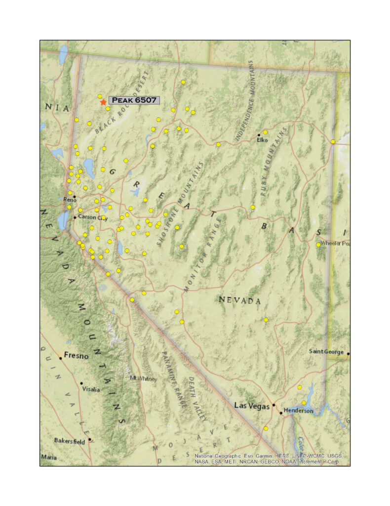
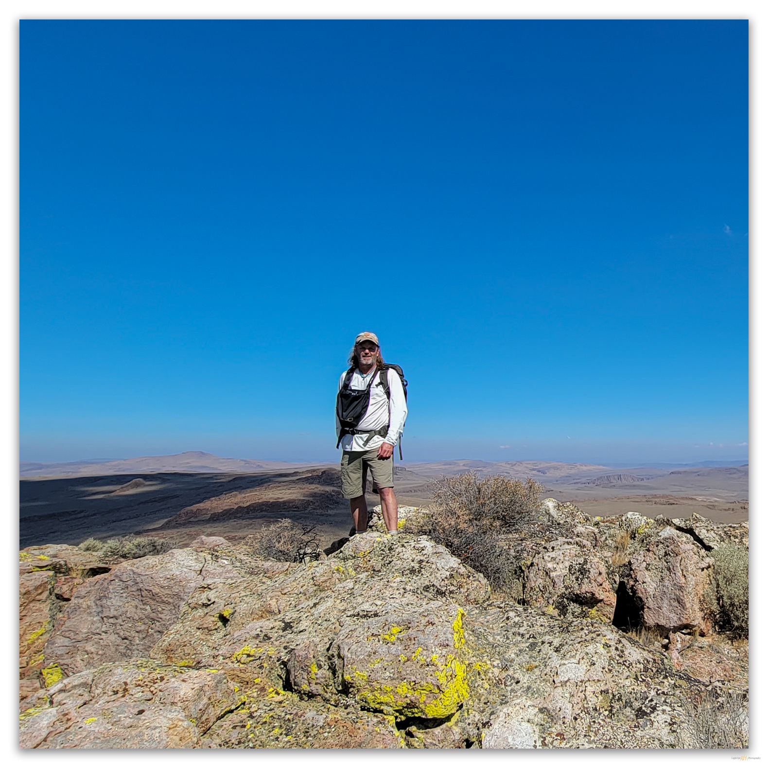
Peak 6507
6507 ft (1983 m) – 910 ft gain
2021.09.11
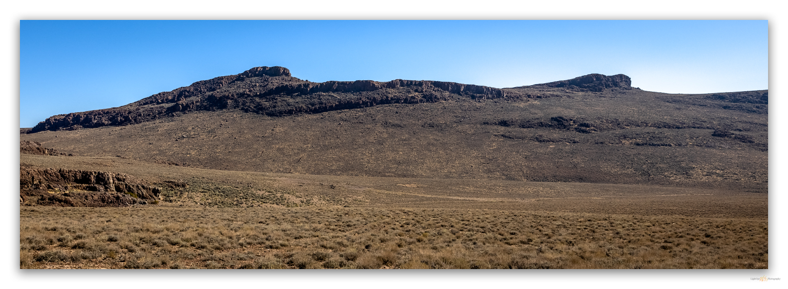
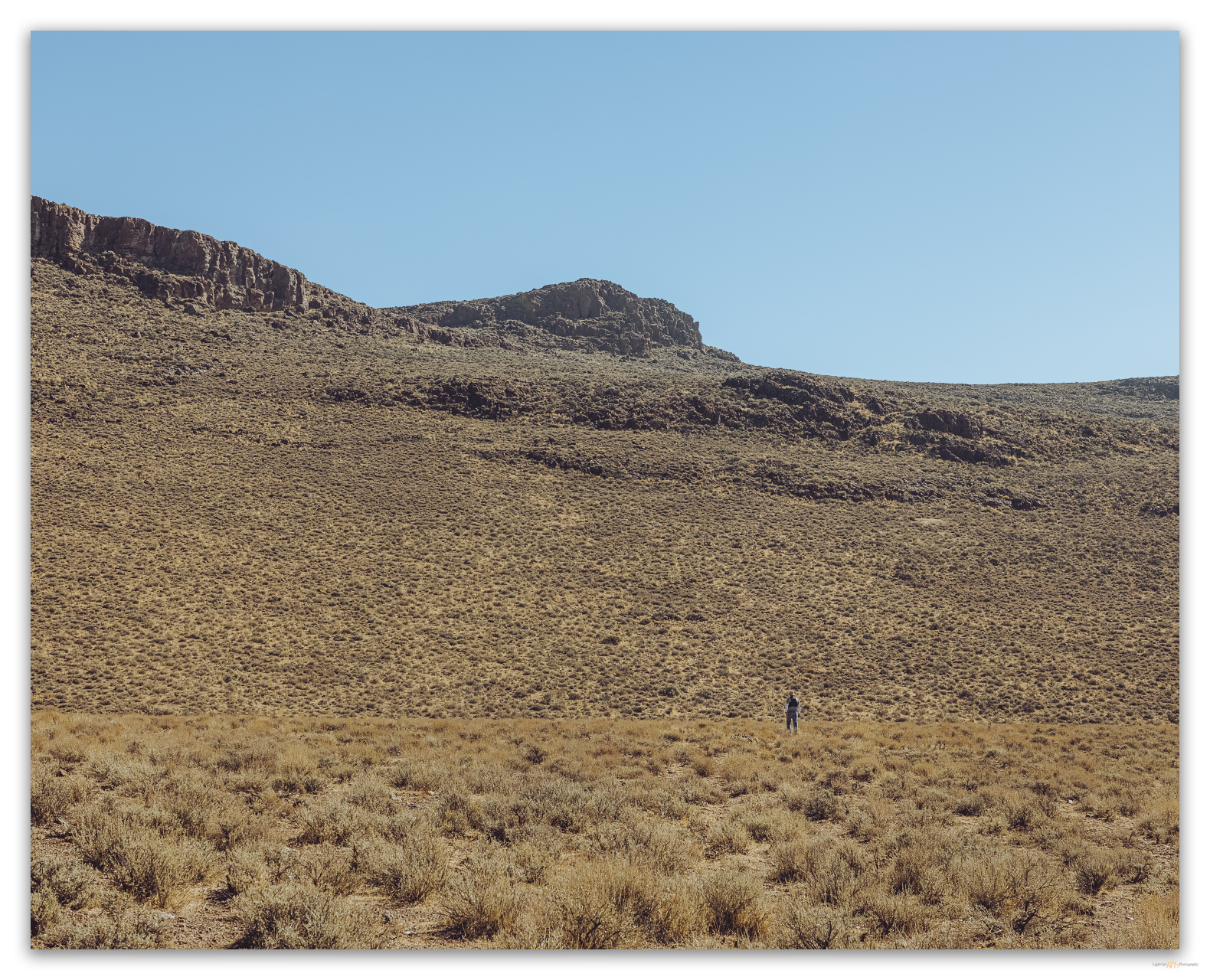
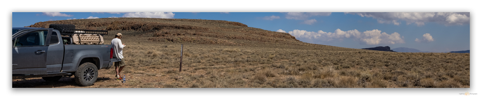
On Nevada Highway 34, a wonderful dirt road north of Gerlach, there is a steep right-hand turn just after the Lund Petrified Forest. The forest consists of a couple of upright trees trapped behind a fenced enclosure, but we are not here to see the rocks that were once trees. We had escaped the smoke-filled Carson Valley to gouge around a pair of summits on Second Friday weekend. This steep road, a cherry-stemmed, spring access in the Little High Rock Wilderness, would get us near the high point of the Butte Spring Hills. Although this group of hills is not one of those listed by McLane or Charlet, I added Peak 6507 to my list as it stands apart from the Division Range; the canyon of Willow Creek making a clean break from the Division Range (aka Sheep Hills) to the southeast. My few additions to the lists are typically small hills like these that stand out on USGS maps and are labeled even though they sometimes seem to structurally related to nearby ranges – and it gets me to a few places I might not otherwise visit.
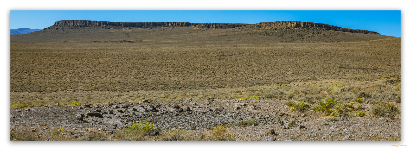
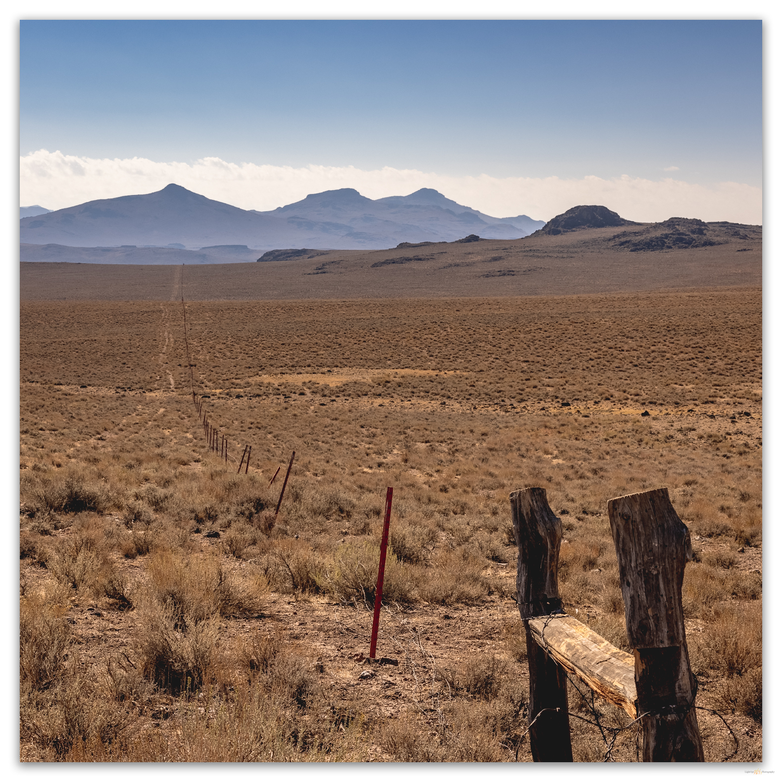
We arrived at the wilderness boundary at mid-day. Not the best time for a photographic foray on the hardscrabble sagebrush, mostly beaten down by horses. After parking at a boundary sign, we walk an abandoned two-track toward Bathtub Spring. The spring is damp, but the dug-out reservoir is dry and pocked with trampling hoofprints. A barbed drift fence has fallen into disrepair; it would be nice to see this removed. It is, however, easily stepped over, and we make our way to a dry wash that rings the southern apron below the prominent rimrock of Peak 6507.
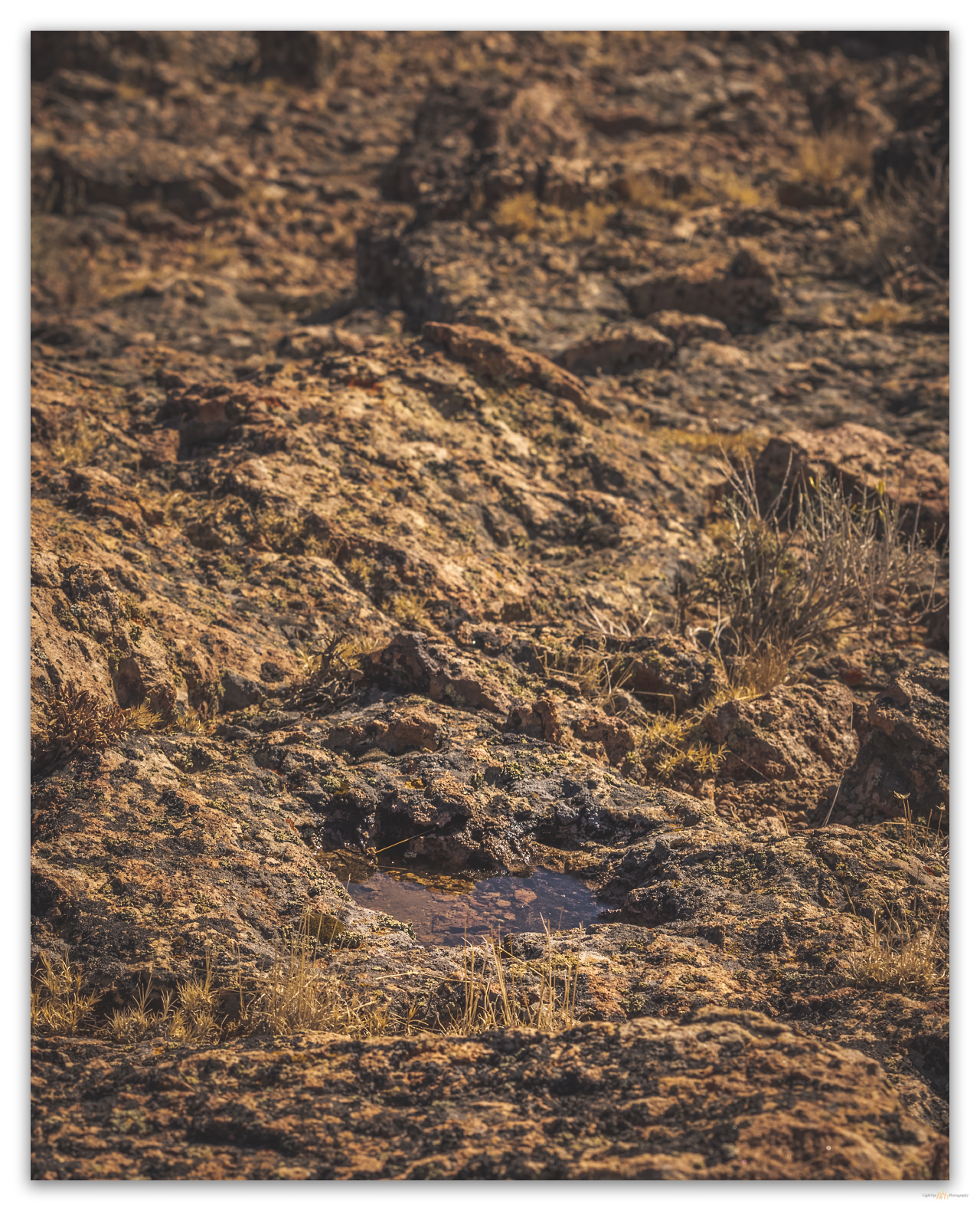
Water pockets in the capping outcrops promise hope left by recent rain. A quick storm passed a couple days ago, and I am surprised the water remains. As Craig Childs writes, there is often more water in the desert than we expect, if only we see and learn. These seemingly lost pools always lift my spirits.
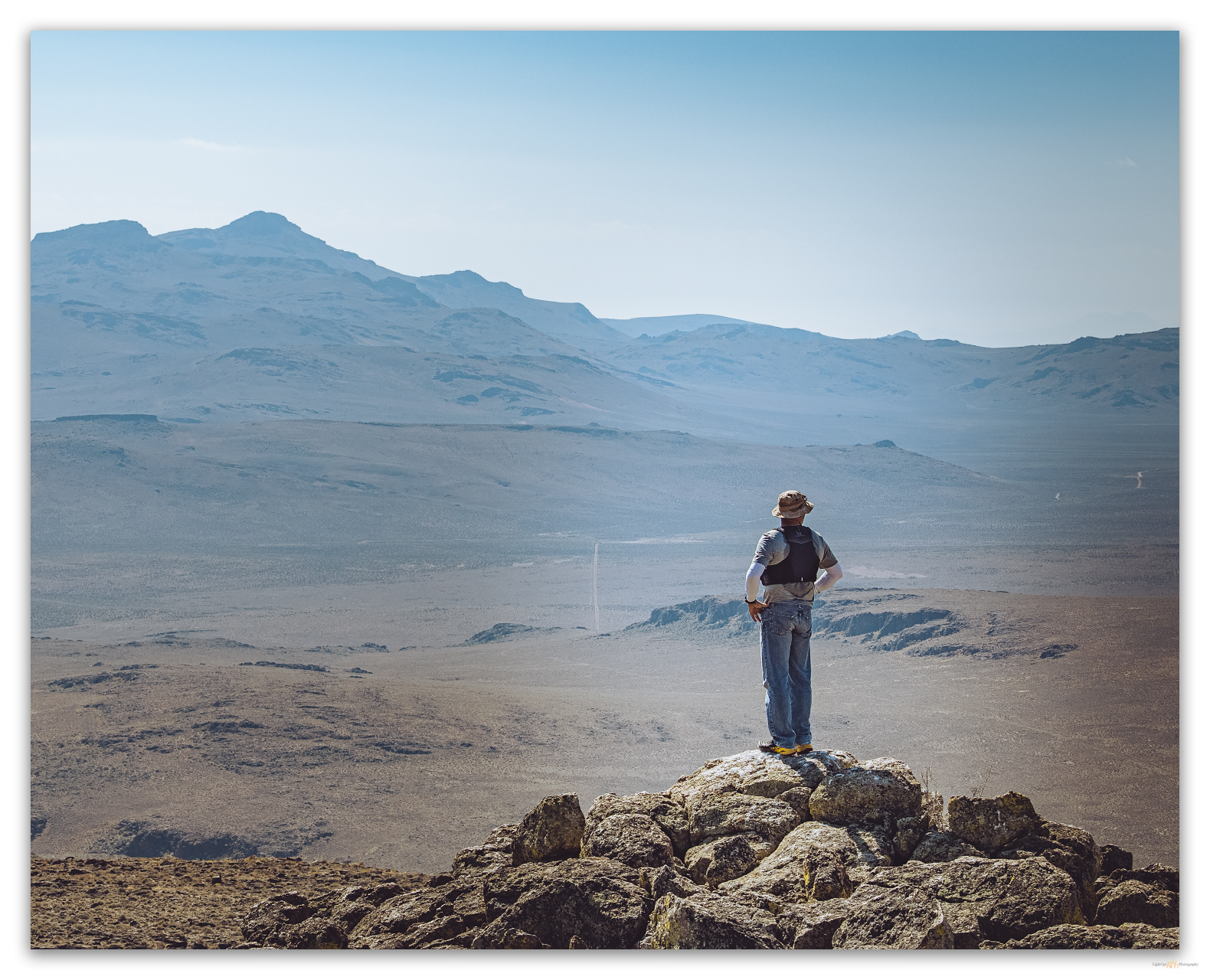
The summit is a jumble of rhyolitic rimrock and boulders; there is no register – maybe I should install one on those hills that I upgrade to the status of named-range highpoint (those not on the typical ‘lists’), but, hey, leave no trace. Even for a relatively small group of hills, the view is awesome. It is especially good to see Donnelly Peak rising to the southeast, our target for tomorrow.
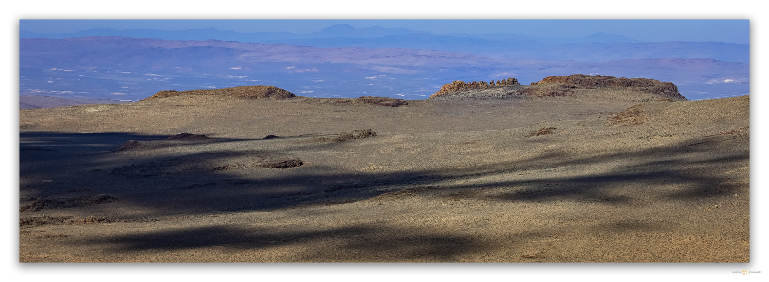
We scurry down the west-facing rimrock and walk a looping route back to the rig. Obsidian nodules of the eastern margin of the Cottonwood Caldera rest as gravel and small cobbles on the fans near the so-called Butte Spring. We take the opportunity to map their distribution for my on-going obsidian sourcing project. Another great reason to get into the lesser-known hills and highpoints.
Keep going.
Please respect the natural and cultural resources of our public lands.
Leave a Reply