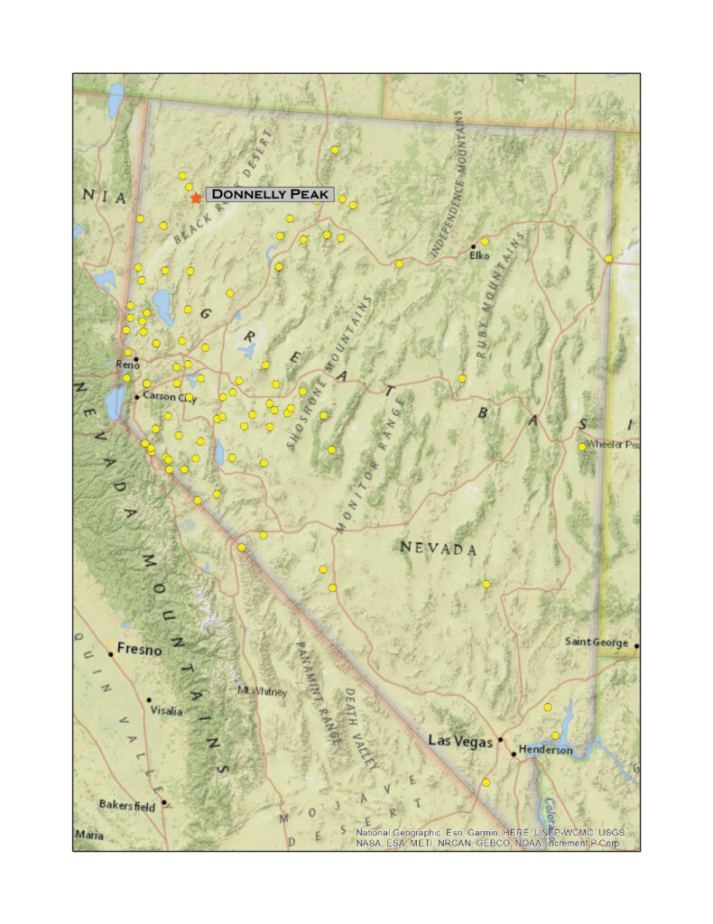
Donnelly Peak
8533 ft (2588 m) – 2317 ft gain
2021.09.12
There is a problem with names in this part of the desert. And, as a geographer and some-time chronicler of Great Basin landforms, I strive to maintain a sense of where I am. It stands to reason that the names of landmarks and their labels on maps are paramount, and when there is a problem with names, the labels on maps are hard to change. For a time, Donnelly Peak was shrouded in a cloud of changing labels, and the fixes seem to have echoed in the local hills and canyons.
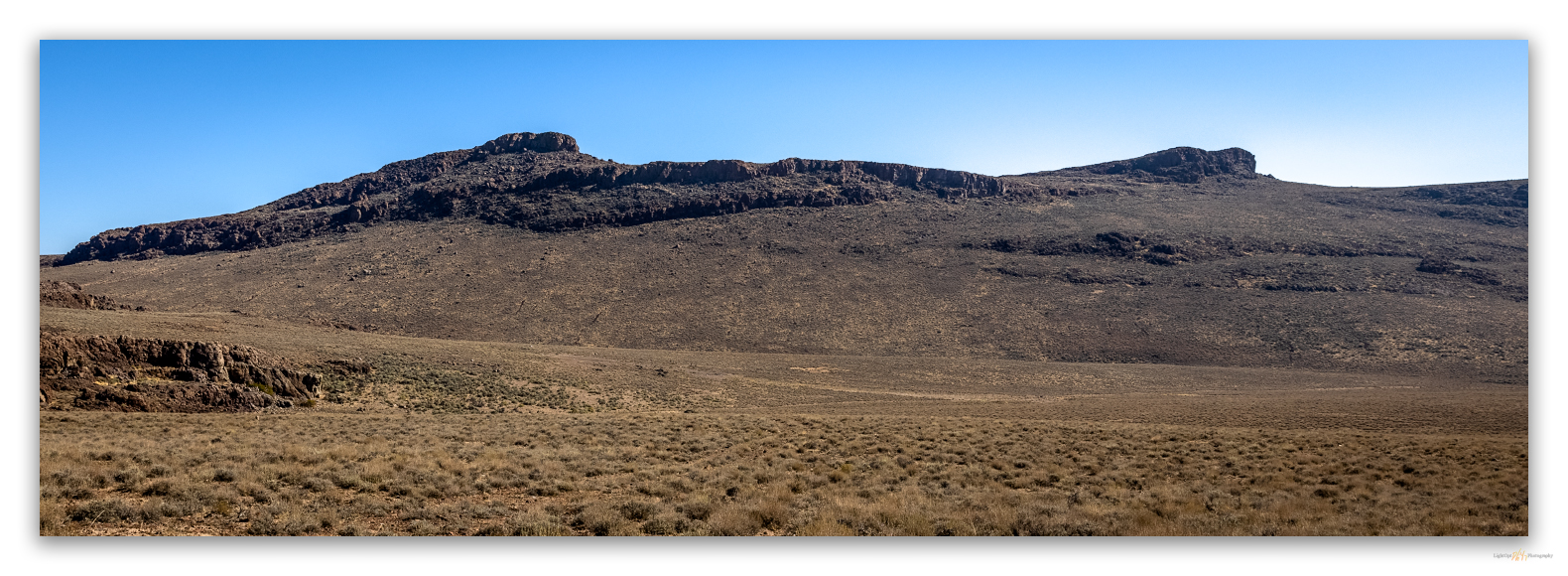
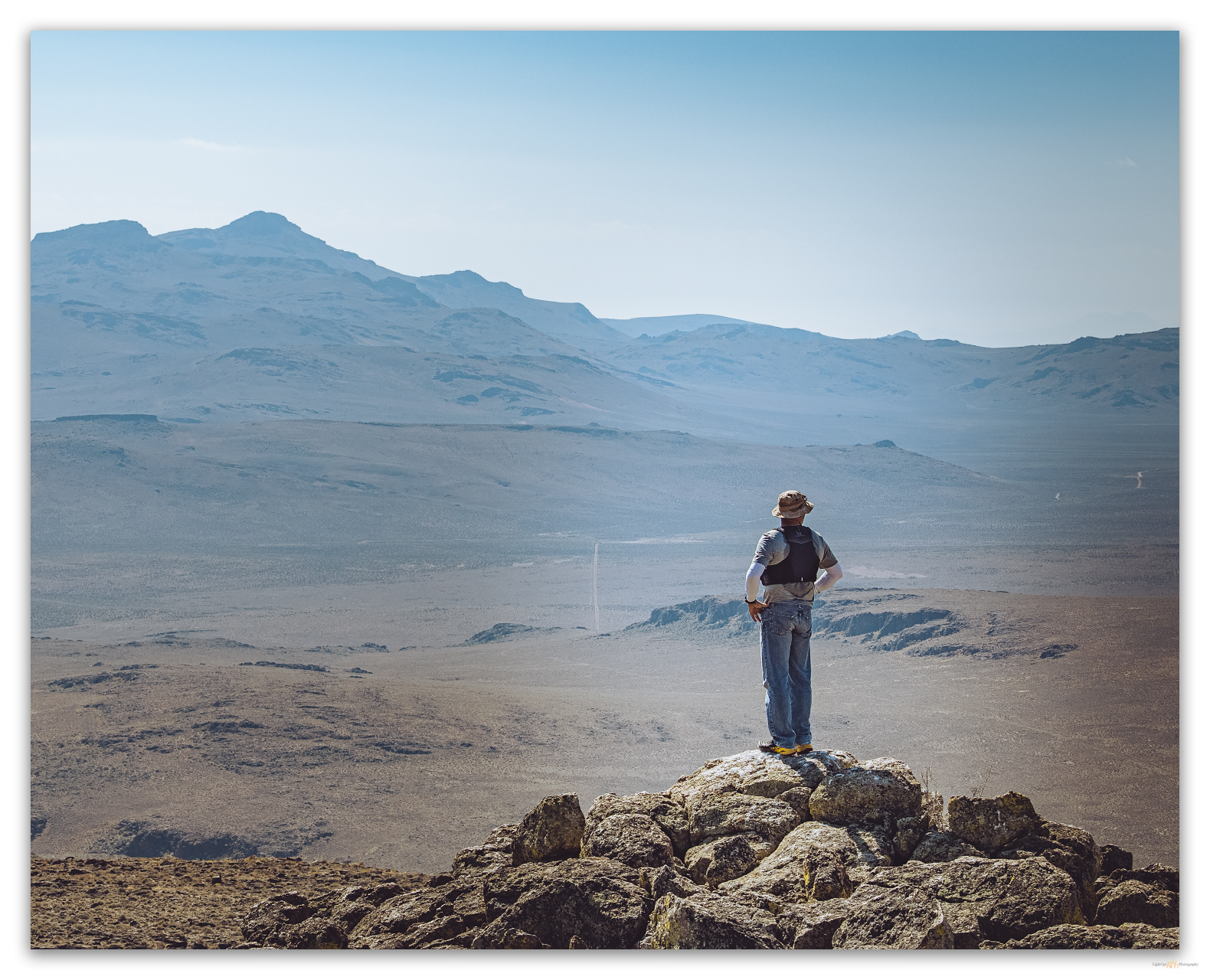
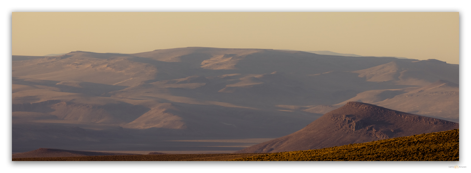
I first drove Highway 34, south from Oregon in 1989. As we wormed our way down the lonely, dust-ridden road – I recall the romance of calling this wonderful road a ‘highway’, the epitome of Nevada overland travel – my travel companion, a long-time Nevada resident and professor, identified the prominent peak with its white, west-facing outcrops – like breast feathers on a sage grouse – as Division Peak, a landmark for us and for those who traveled the route historically, and probably thousands of years before that. I traveled the Black Rock – High Rock Country for many years using this landmark as a way point – my maps all showed it as Division Peak. It was not until the mid-1990s that I noticed I had been misinformed, by my mentor and by the USGS; however, the mistaken label made historical sense.
The peak’s original name (1893) was Division Peak, the prominent high point of the Calico Mountains thought to ‘divide’ Humboldt County from Washoe County. As early as 1902, there were hints that something was not quite right. If Division Peak was to divide the counties, it was in the wrong spot. One cannot move mountains, so they say, one can only play with names.
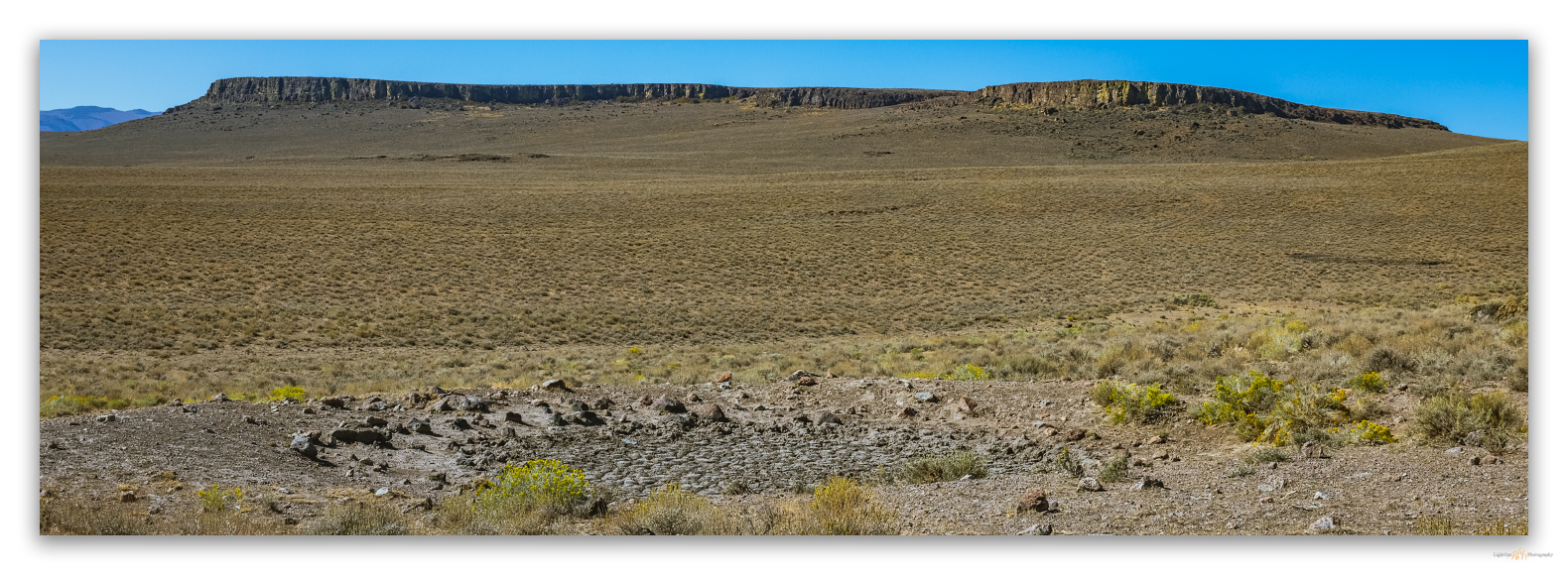
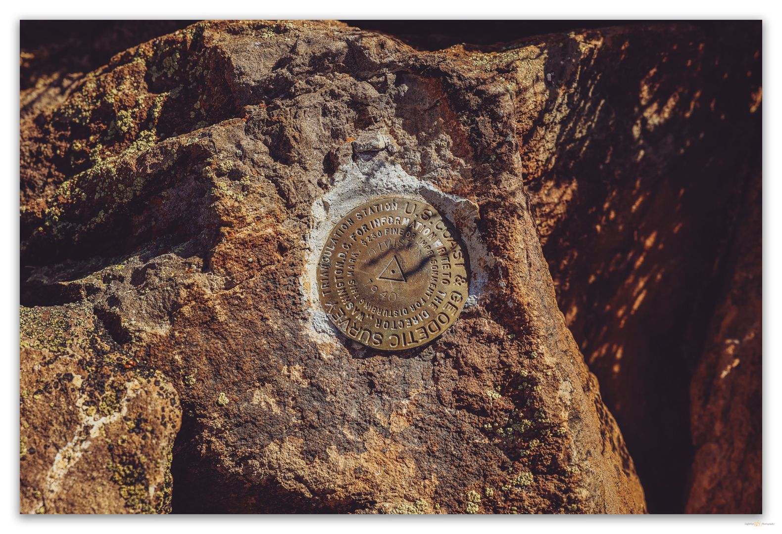
Touting local mineral interest, the Daily Nevada Journal (1902) referred to it as Donnelly Mountain after a nearby spring, but that label did not stick. As I mentioned, ‘Division Peak’ appears on many USGS maps, including those used in today’s digital applications that rely on scanned versions of map originals. I learned of Donnelly Peak as I reviewed Alvin McLane’s Silent Cordilleras, my primary reference for my list of named highpoints. Even as I wanted to believe my otherwise trusty and detailed 7.5’ USGS quadrangle, Alvin had clearly done his research. He separated the low hills along the county line, over four miles west of Donnelly, as the Division Range with Division Peak as its high point (McLane 1978:39). His book was published in 1978 but as late as 1975 the official place names register had Division Peak at the spot that today is Donnelly. In keeping with the local confusion, Alvin’s Division Range is often shown as the ‘Sheep Peaks’, and I have seen a modern digital map that shows the highpoint of the Sheep Peaks as something other than Division Peak, even though no such highpoint exists. Helen Carlson, in her wonderful reference of Nevada Place Names (1974), tried to rectify the misnomer by explaining that ‘Division’ actually marked the boundary between Pershing and Washoe counties, but that makes even less geographic sense. So, ignoring Alvin’s insight, the U.S. Board of Geographic Names, in 1982, found that the 8533-foot peak had been changed from Donnelly to Division with the publication of the geographic names register in 1975. This judgement, too, seems misinformed as anyone visiting the summit will find brass benchmarks stamped ‘1940’ and ‘Division’. This place above the Black Rock was confused way before Burning Man ever showed up.
Finally, in 1989, about the time I was making my first excursion along its base, the Board of Geographic Names – I suspect Alvin may have played a role – declared the Calico highpoint to be Donnelly Peak and the nearby high point of the Sheep Hills (Alvin’s Division Range) would be Division Peak. Alvin had done the hard work of moving the mountain, the register finally followed suit. Division was back on the county line; actually it’s about a thousand feet east, but close enough. We will summit that sometime soon and see what its brass marker proclaims.
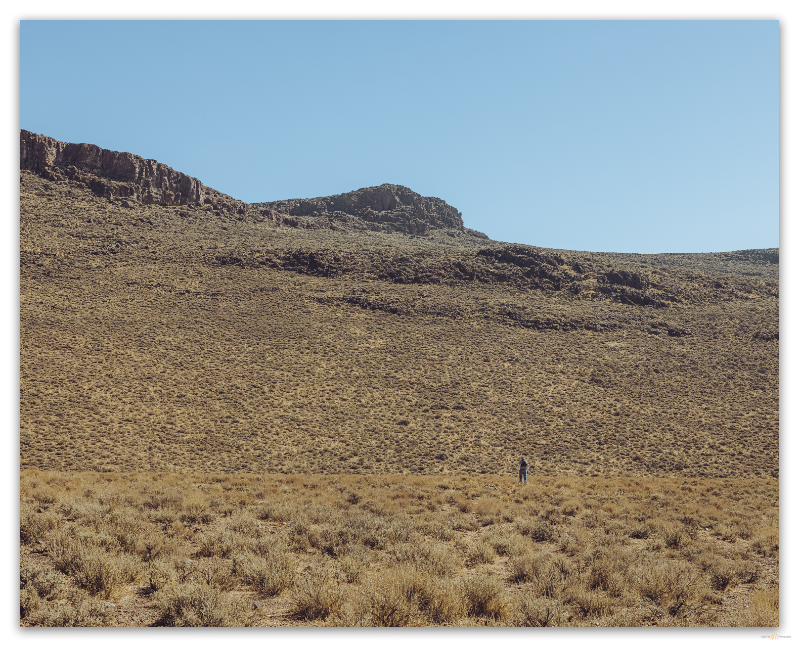
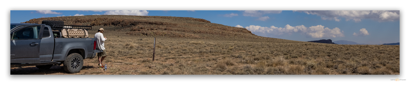
First, we need to walk up Donnelly Peak! Second, I am happy to admit that all too often when contributors to summitpost.org state that a peak has ‘little redeeming value’, Darren and I tend to have an even better experience visiting the forlorn highpoint. Donnelly was no exception.
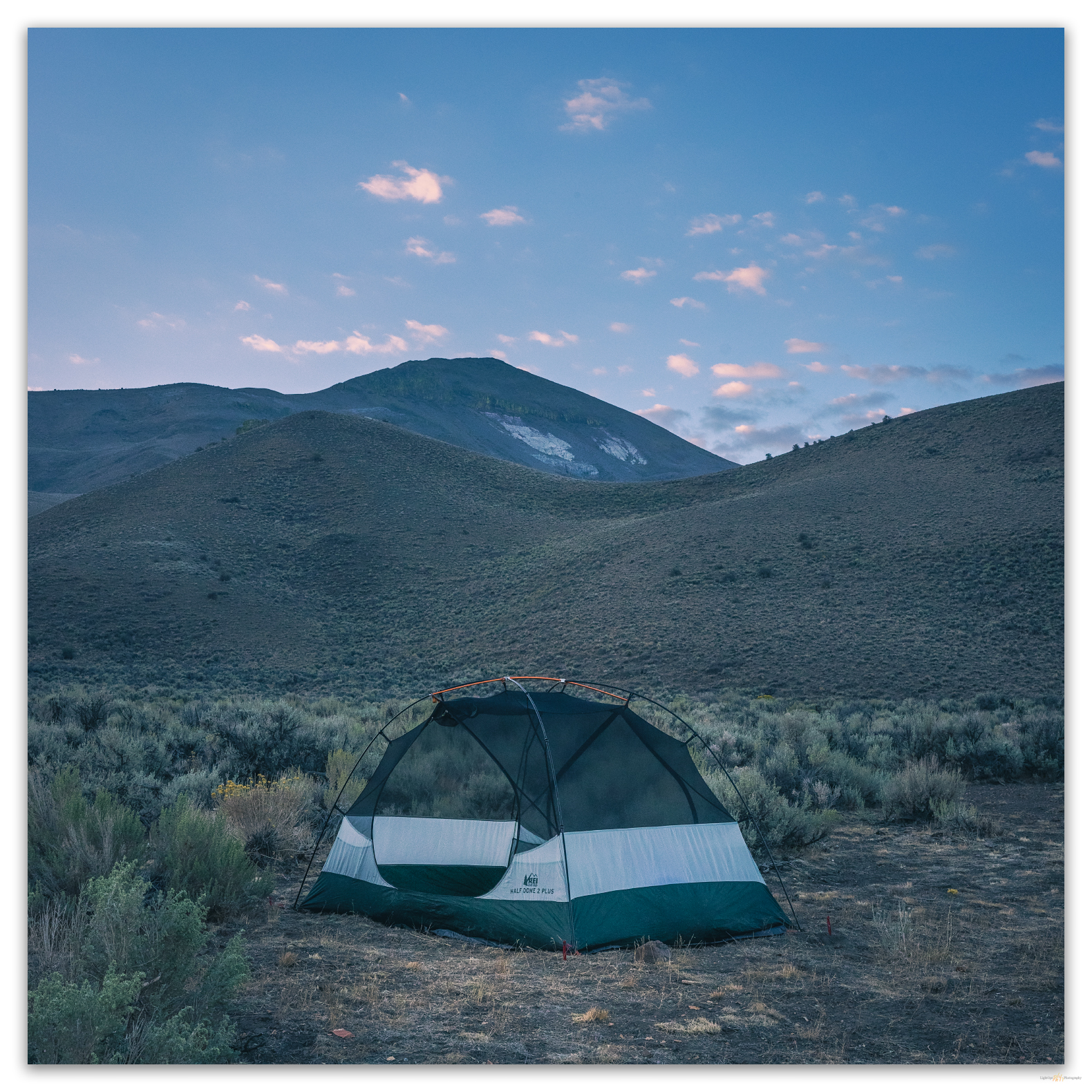
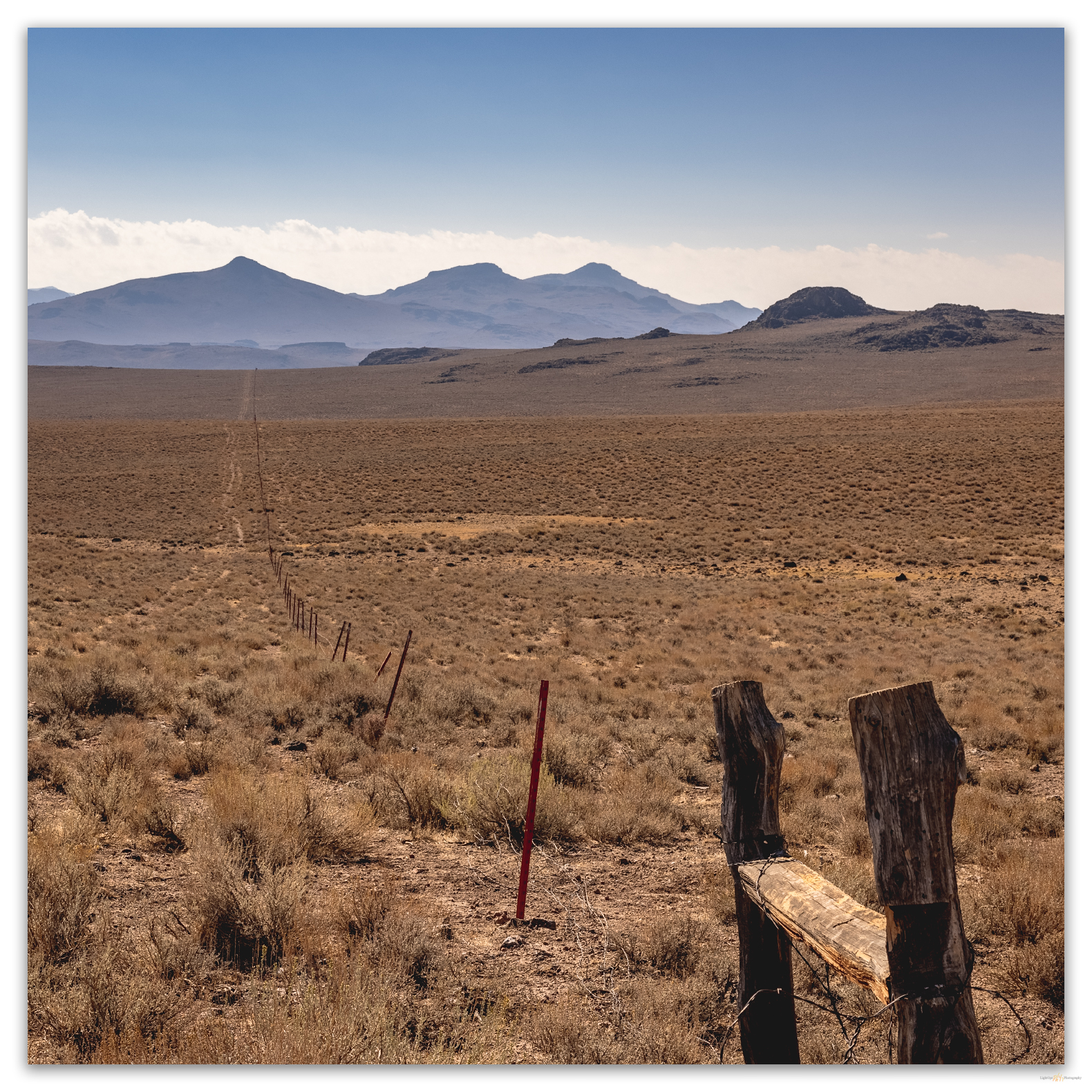
Darren had scouted the lower slopes last night. Not that that was necessary; it would be difficult to get lost on the open slopes of Donnelly. We went along the spring exclosure fence to gain the slope. This was a northwestern ridge extending from the peak; the ridge is cut by a series of slightly glassy, tuffaceous rocks exposed as resistant rimrocks and outcrops. Silty sandy gravel on tuff mantled moderate slopes between outcrops.

My mountain walks are always a multi-tasking bit of ambulatory mountaineering, photography, and geomorphology. My walks are meditation and seeing. Ok, more multi-observational than actual separate tasks. Tasks are typically thought out or planned, but my observations are absorbed through seeing and I try to stay open to the elements around me. I react to seeing and observe by collecting information – sensory, analog, and digital.
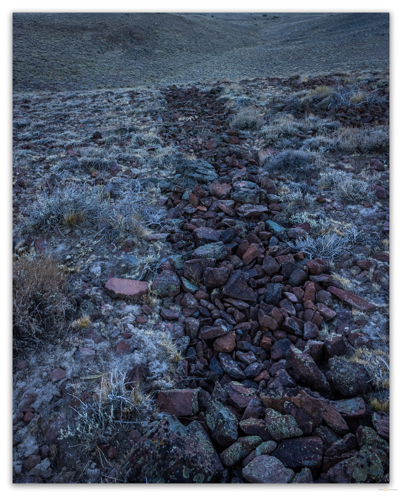
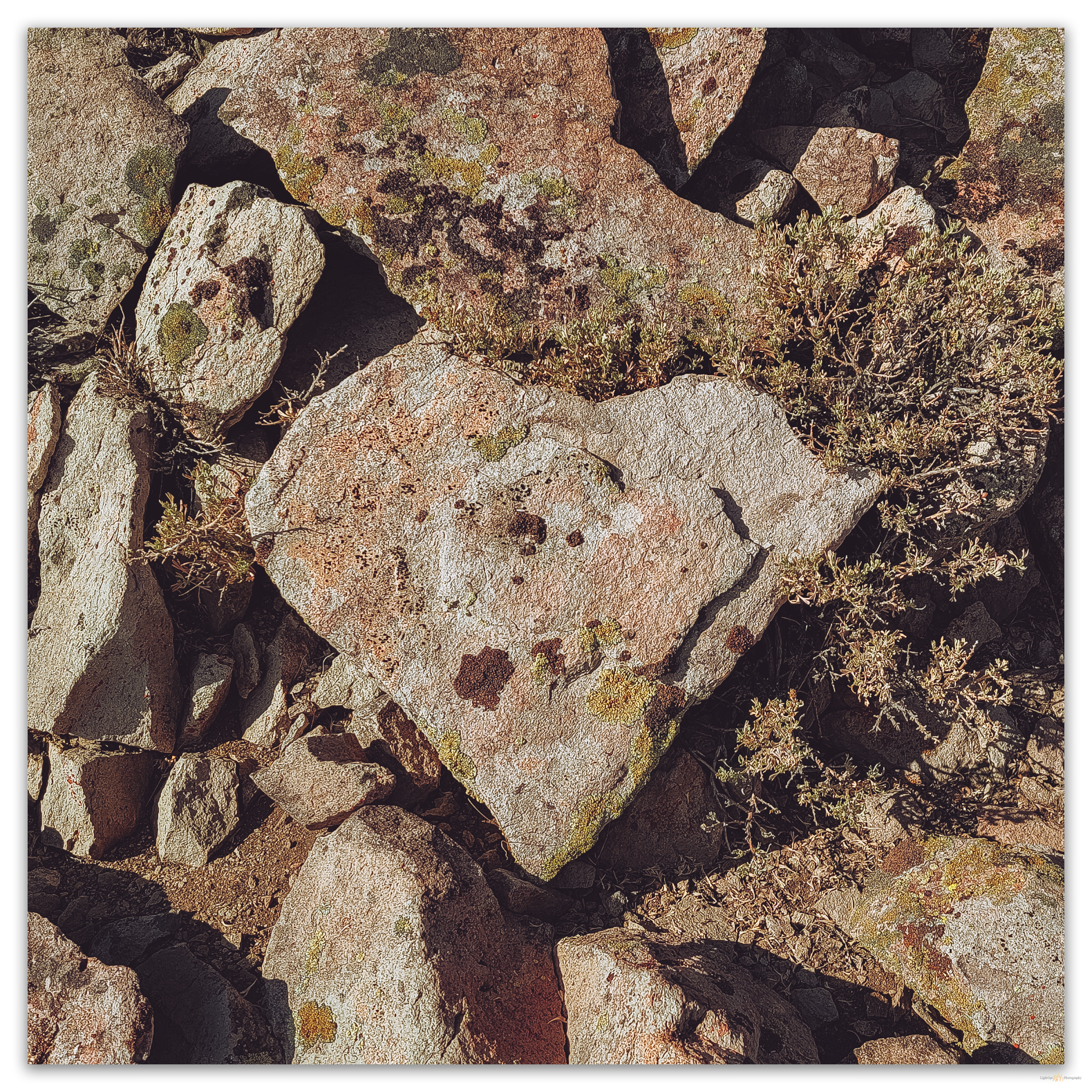
Rock lines puzzle me, so Darren and I stop occasionally to think about the processes that might form them. We take particular note of a set of incipient and mature rock lines. These may be a result of nivation creep due to wet snowload, melting, and runoff rilling; lines forming on slopes of a particular grade. Maybe. Large clasts form anchor and deflection points that transition to aprons or stop the rock line.
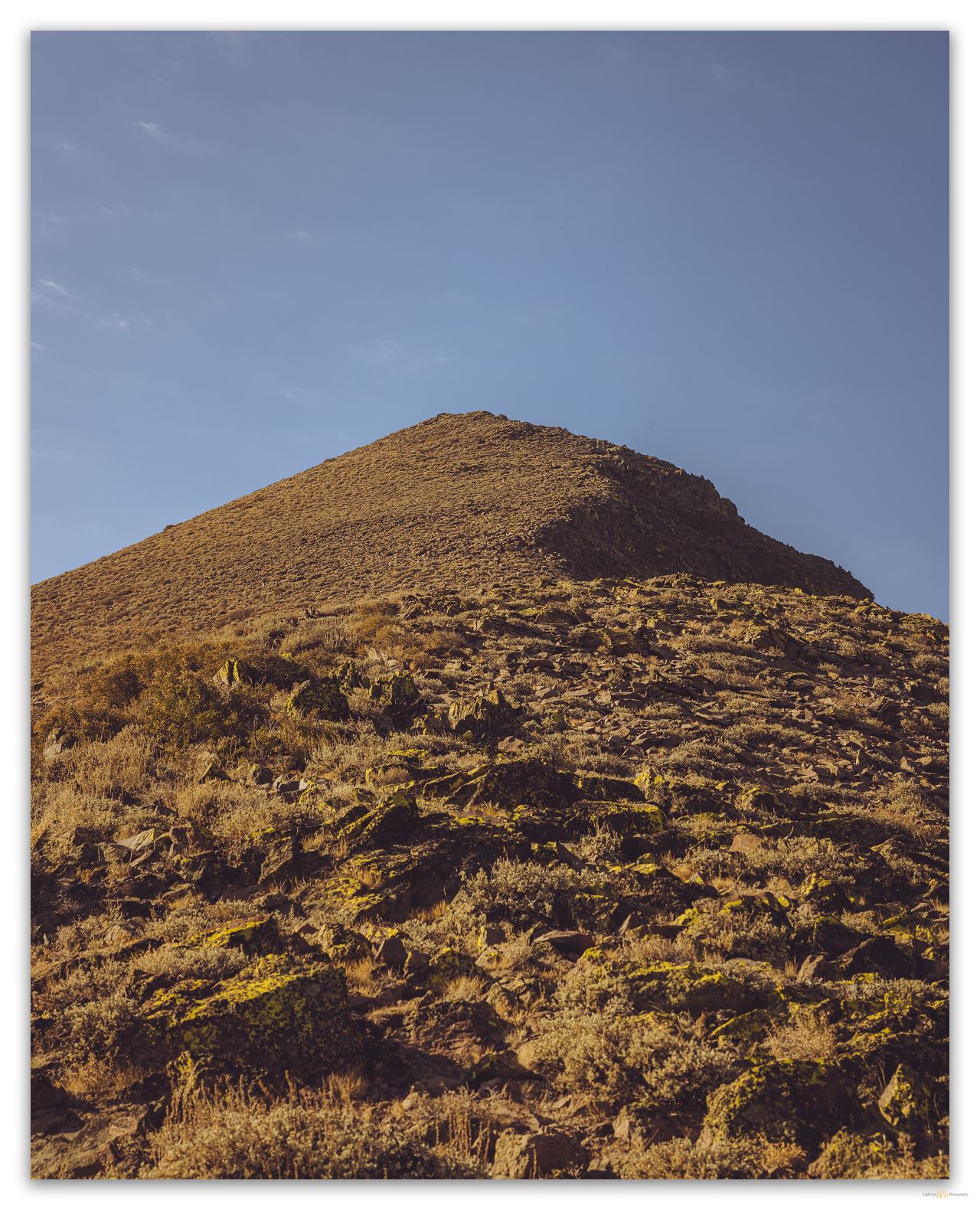
Having puzzled over the rock lines, we aim toward two prominent, tower-like outcrops near the top of the ridge, all the while wondering about the white rocky center that outcrops abruptly on the steep western face of the peak. I am subsequently distracted by an outcrop that holds a nice woodrat nest with locally remnant fossilized midden. Well-preserved middens can hold troves of information about past environments; these, however, look recent.
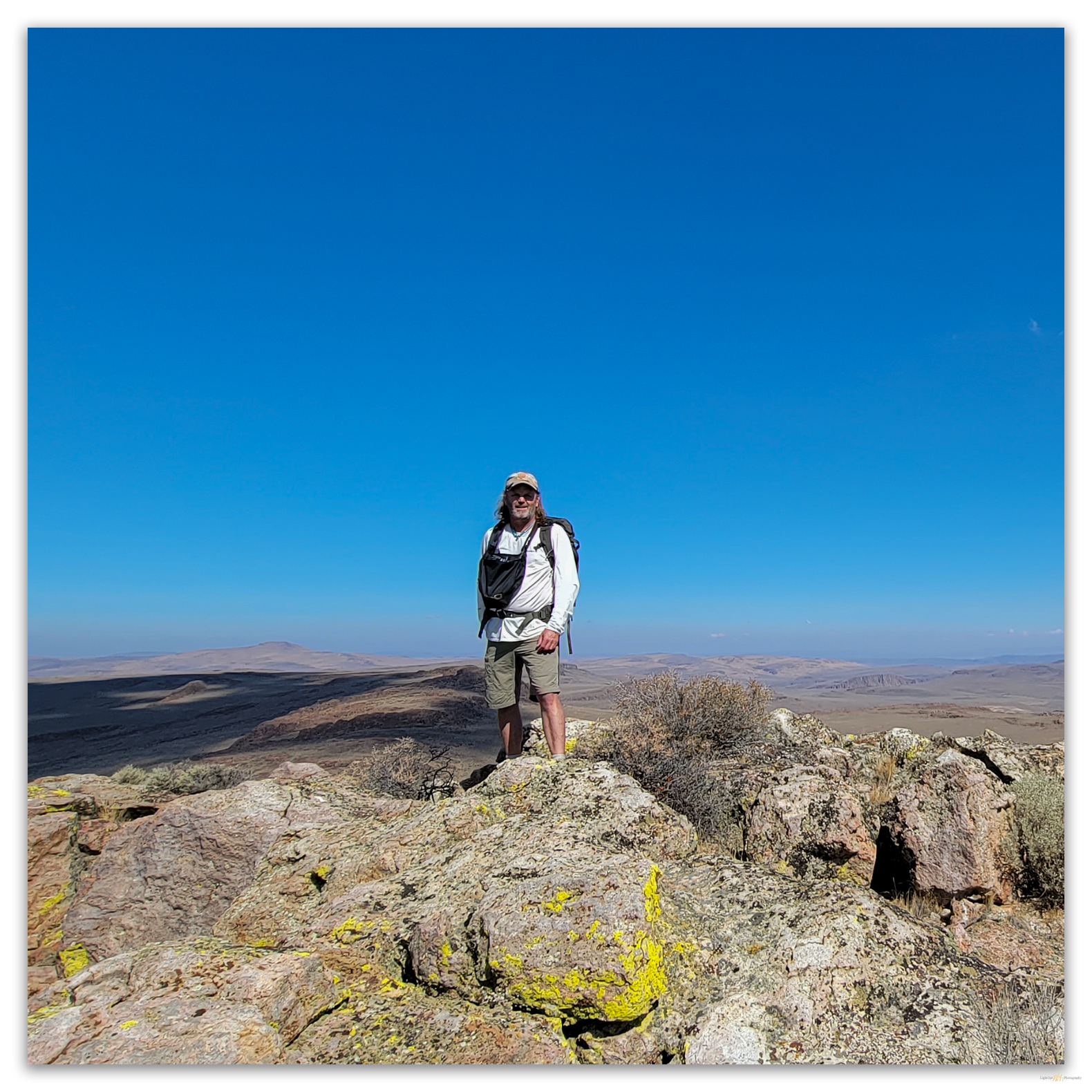
The summit’s rolling knob is cleft deeply on the western side as the rimrock drops to the white tuff below. The register protects a few ladybugs, and the notebooks protected by the nested cans are clean if somewhat well-used. We have decided to descend on the south side of the summit rimrock to traverse the scree-covered slope to check the white tuffs of the mountain’s core. It has been a while since we have descended a slope this steep. It is not dangerous, but the silicic clasts clatter and roll beneath our feet. Occasional game trails are walkable, but after a few strides, the screes slips and slides between low shrubs. Balance does not always come easy.
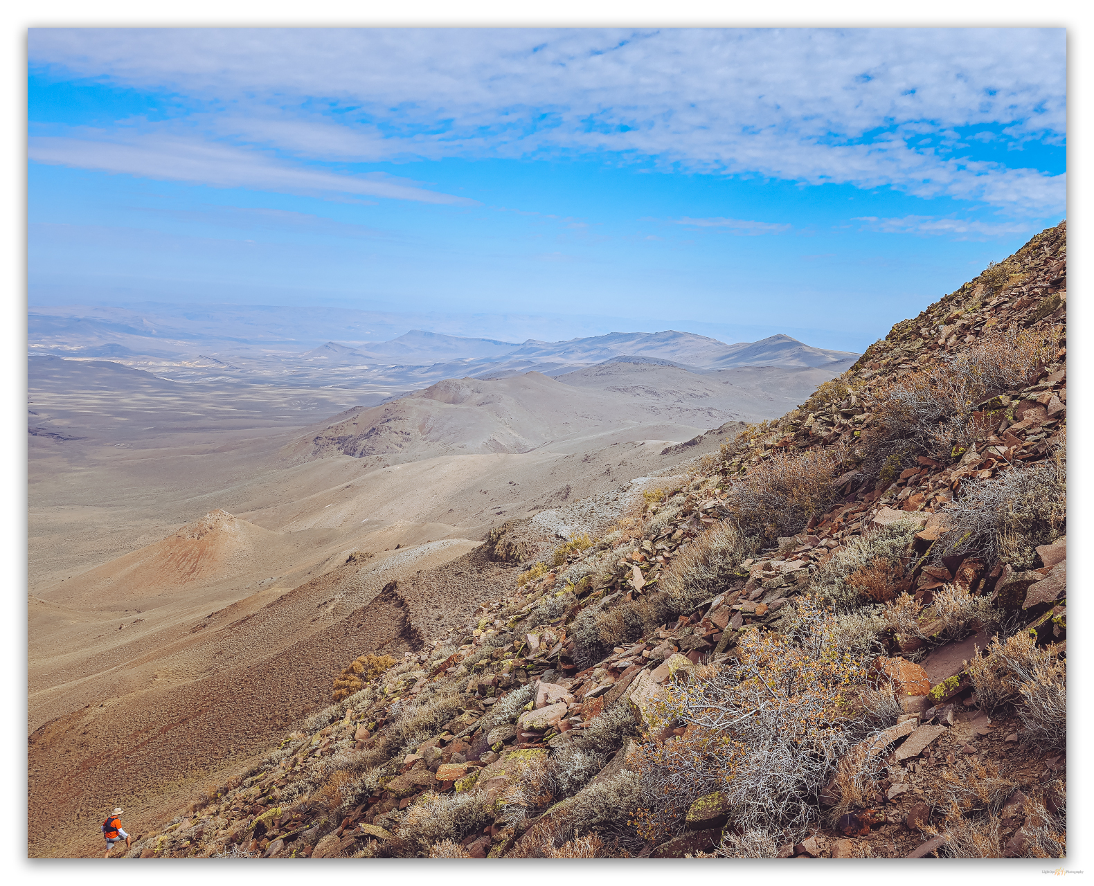

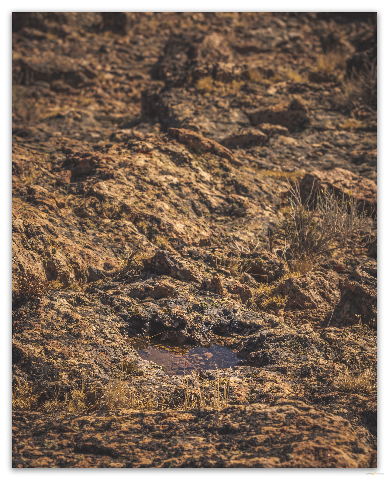
The white outcrops are pyroclastic flows and tuffs with well-sorted and graded cobbles and boulders in distinct beds between jumbles of unsorted, high-energy debris flows. Clasts in lower tuff units are rounded like alluvium and are distinct from the angular and sharp boulders and cobbles from the sides of the flow and the throat of the dikes and vents. A spring bleeds from the end of the alluvium below the white walls above this western canyon. The energy of the past eruptions is sweetened by today’s trickle of life-giving water.
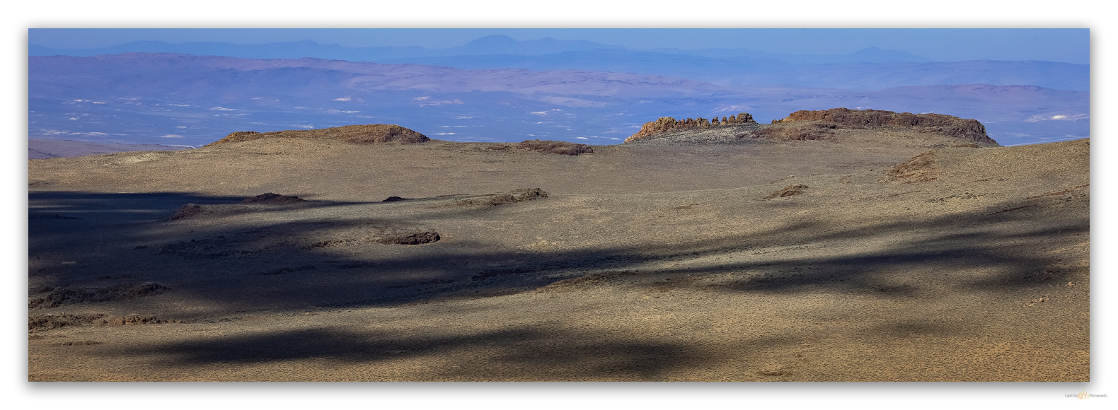
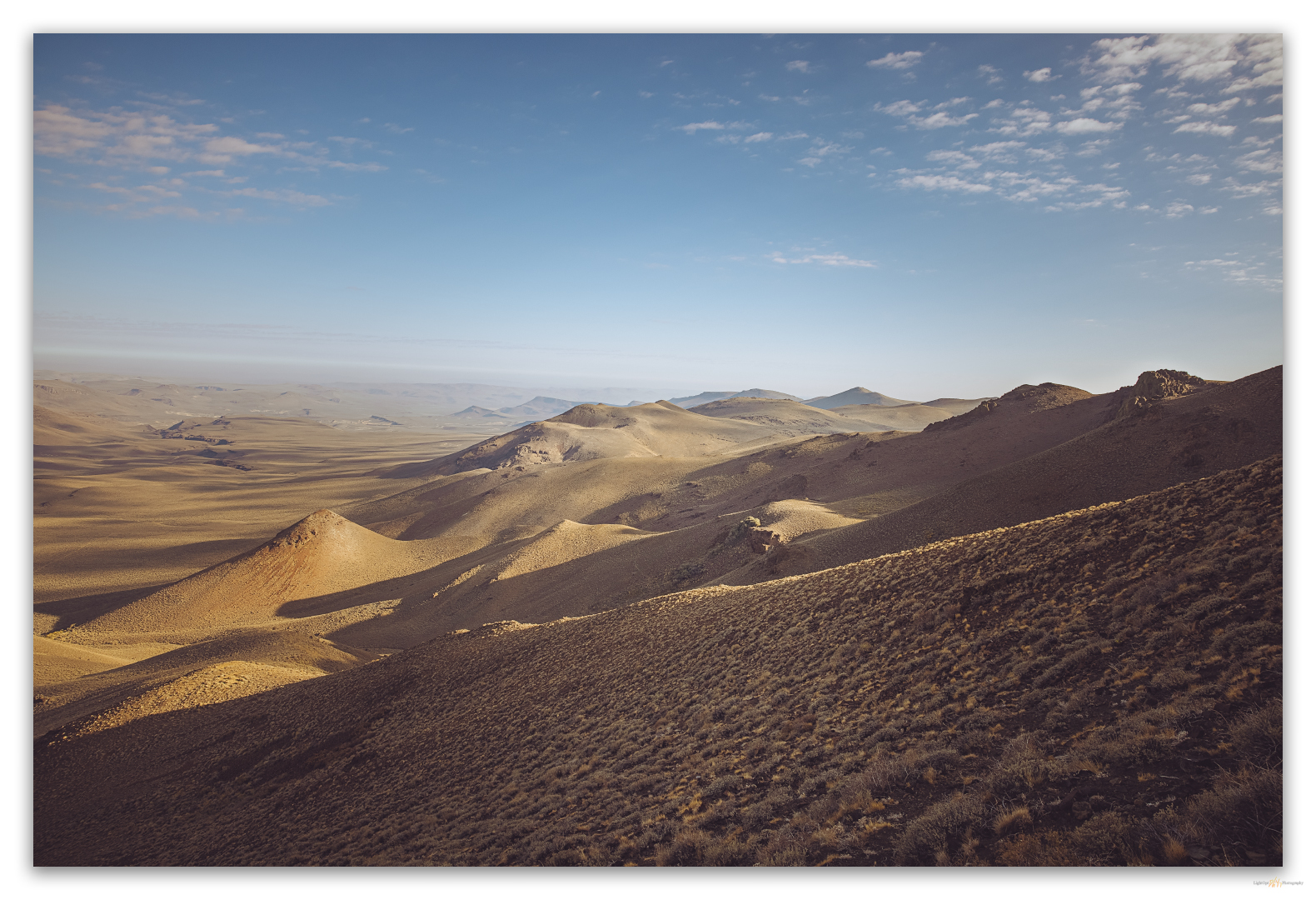
It has been a great morning up-and-down Donnelly Peak and it is warming as we top the small rolly hill overlooking camp. This one made us work a bit, a nice change from some of our smaller hill walks. The names have changed but the mountain stands where it always has, a beacon at the southern end of High Rock Canyon and the western edge of the Black Rock Desert. I am happy to have solved its naming puzzle after 30 years of navigating the dirt highways at its base.
Keep going.
Please respect the natural and cultural resources of our public lands.