TrailOption
A personal geography of landscape and place, art and geo-science.
In search of place, pattern, and process
Stories are out there, keep going (trails optional, take the other).
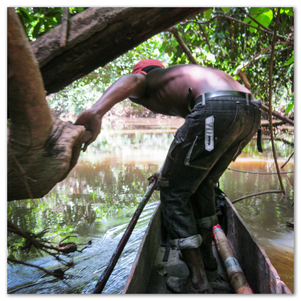
Images are experience, nothing artificial
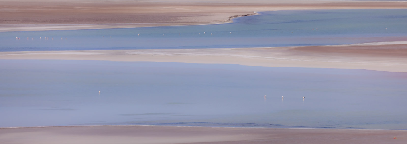
Image Collections at LightOpt Photography.
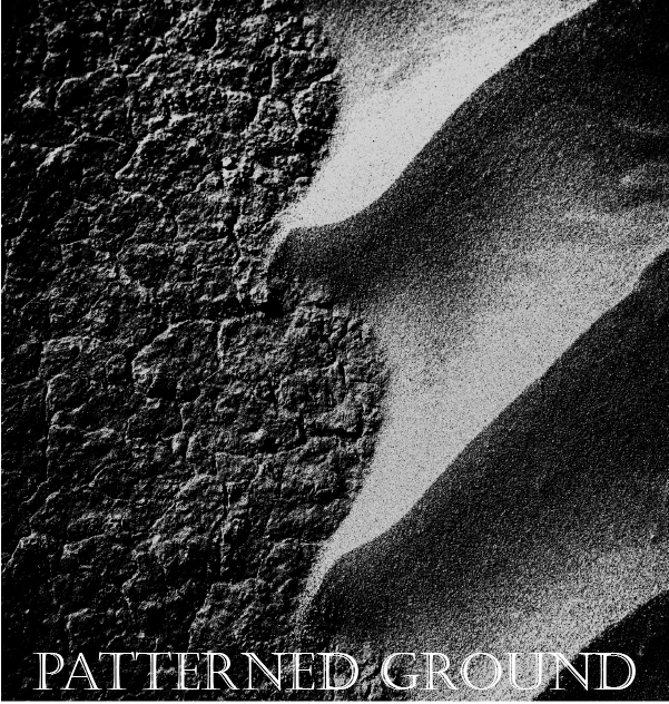
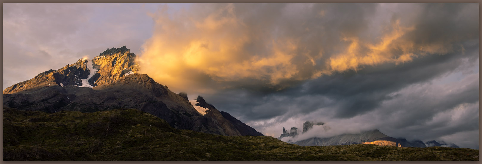
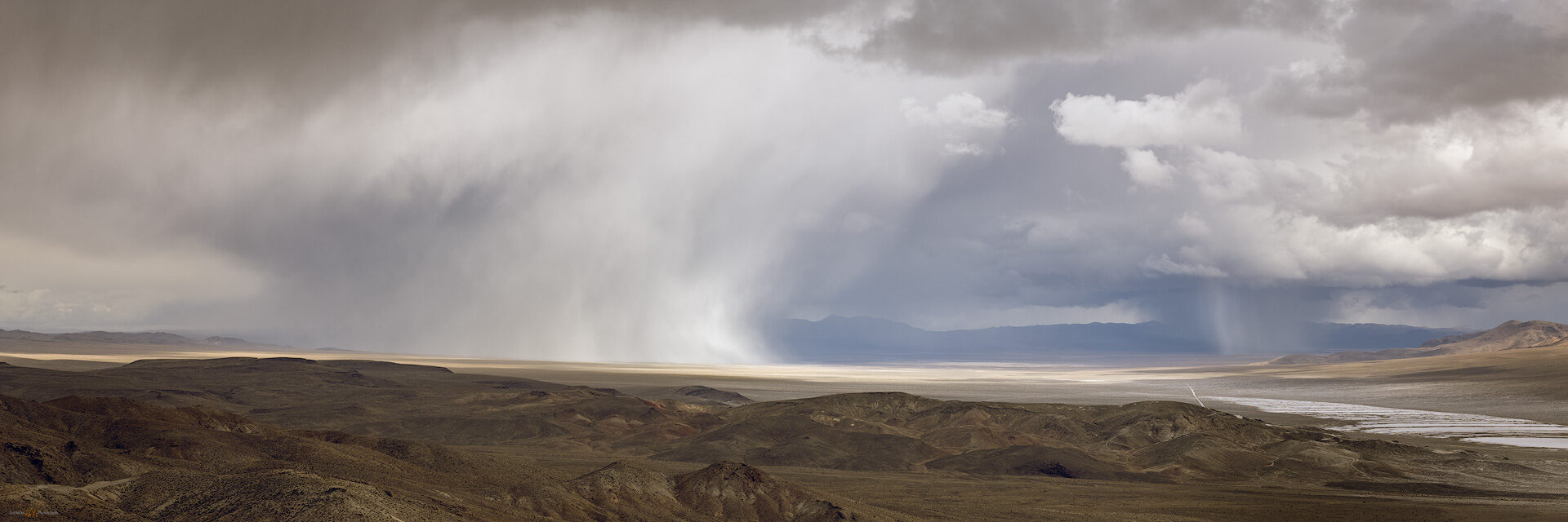
Patterned Ground
Video experience in geomorphology and geography; cartographic landform dictionary
Archaeologists ask questions about the technology and culture of people, past and present, to better understand changes in human adaptation and lifestyles across time and space. And yet, archaeological observations wrestle with geological problems. People leave traces of their passage on landforms shaped by natural processes–the dynamic landscape influences and alters people’s behavior and continues to alter and mask the materials and patterns left behind. We must understand these processes, along with the climatic and environmental conditions driving them, before we can find answers in the sample of artifacts and features we are fortunate to encounter and document.
The TrailOption Journal
Posts from TrailOption, LightOpt Photography, and Patterned Ground
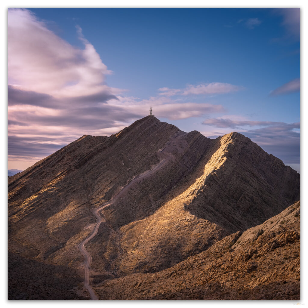
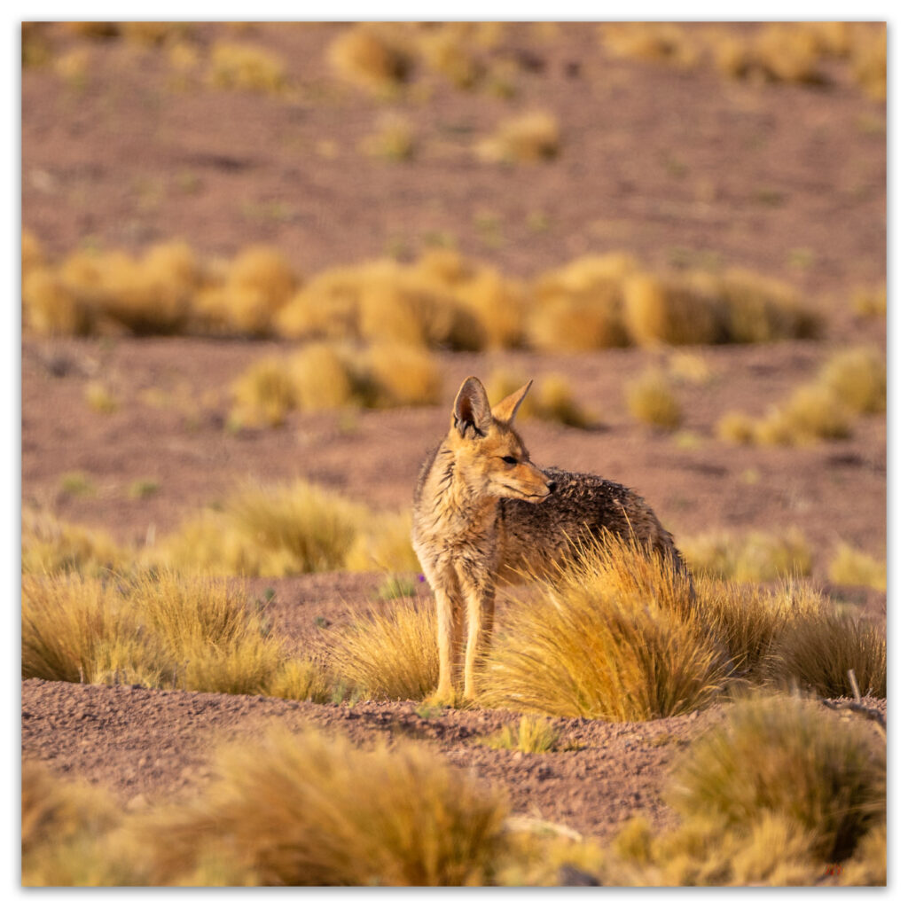
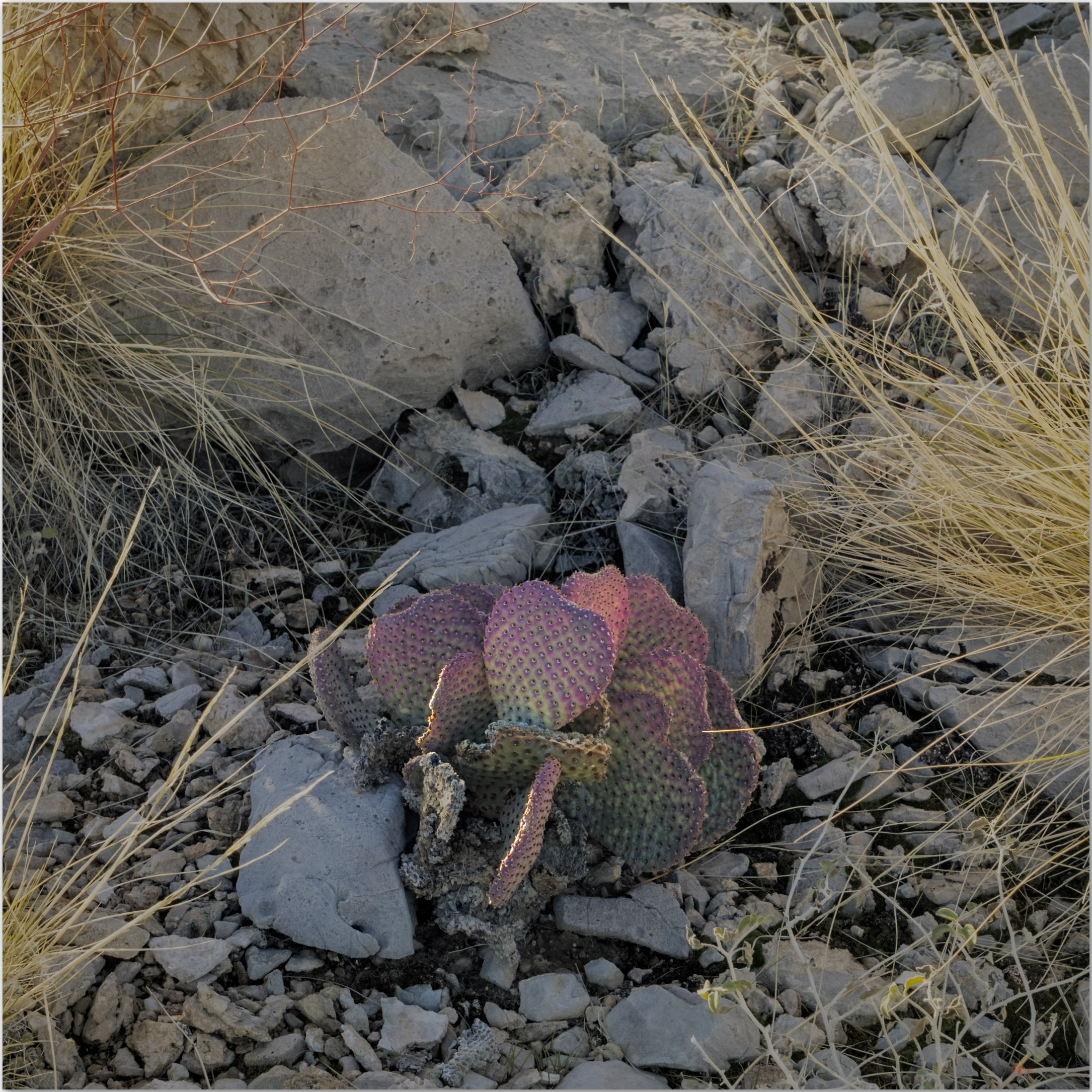
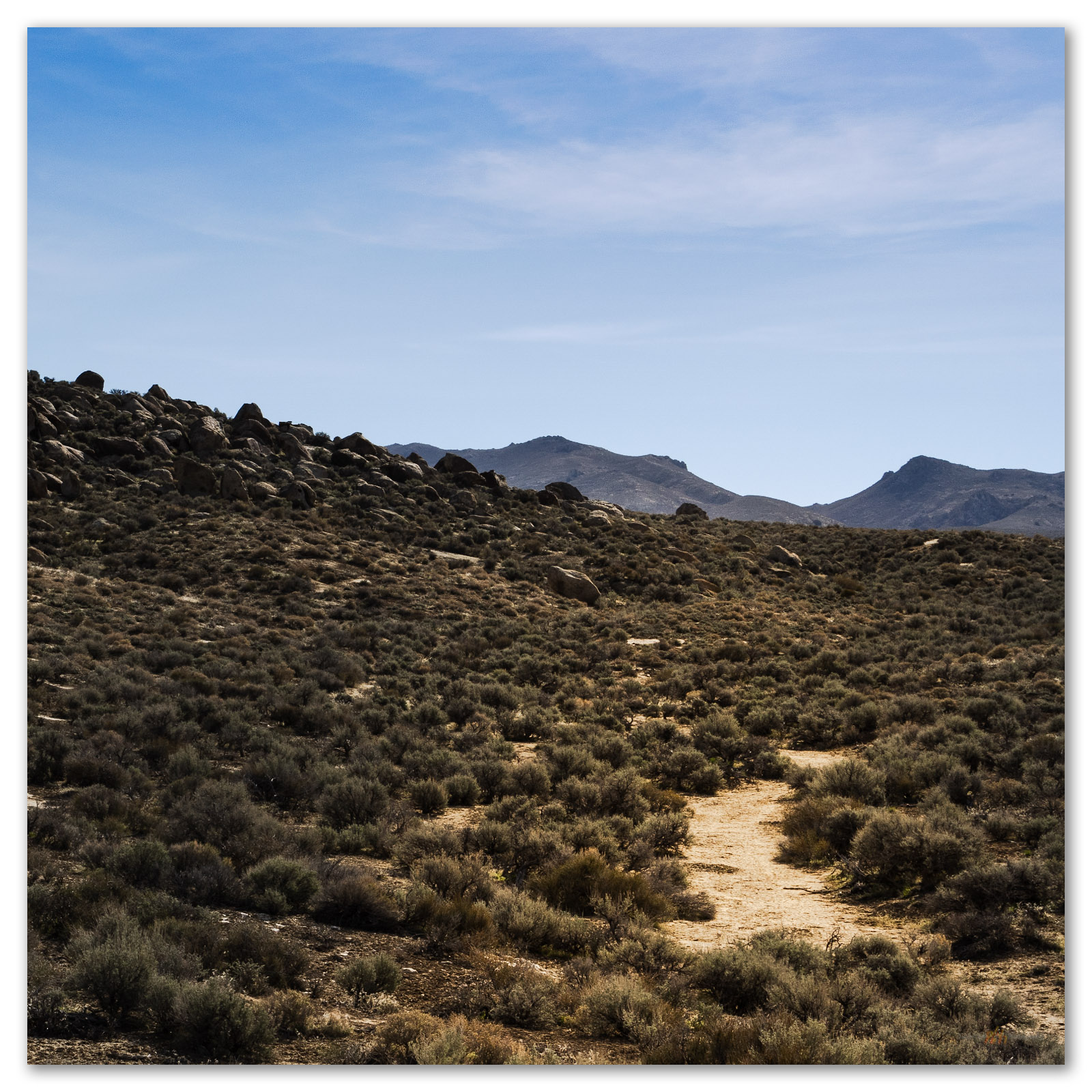
Nevada High Points #119 – Resting Spring Range
I am back in the Mojave. In northern Nevada – in the sagebrush steppe of the Great Basin Desert – the transition to spring has brought a series of atmospheric rivers that vary from warm rains to several inches of new snow. Our water budget appreciates it, and the ski resorts are happy, but it lowers the potential for backcountry travel across the northern tier of the state. But late winter in the Mojave has a very different effect.
Continue Reading Nevada High Points #119 – Resting Spring Range
Nevada High Points #118 – Last Chance Range
Setting aside Second Friday gives momentum to the aspirations of finishing the list, even in its general impossibility. Yet sometimes the calendar gets pushed around – in February the push came in the form of a series of atmospheric rivers that derail my projects in southern California.
Continue Reading Nevada High Points #118 – Last Chance Range
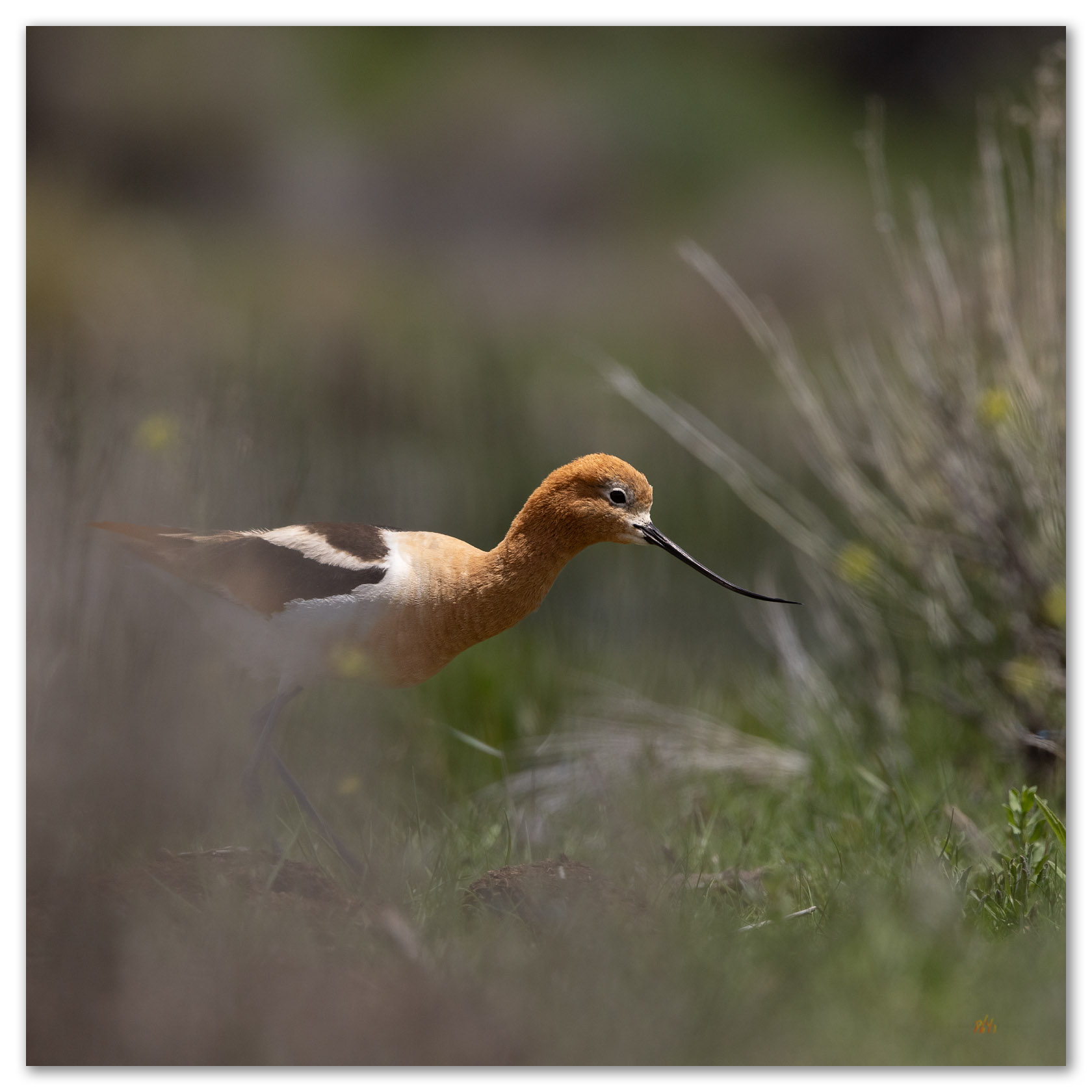
Avocets of Kobeh Valley, NV
On this day in early June, with a thunderstorm in the distance, I drop behind a horded pile of gravel at the edge of broad pit to find that is rim encompasses a postage-stamp oasis of wetlands and ponds; it is maybe the size of a couple tennis courts. Two pair of American Avocets wander the shore, flushing in a quick circle as I approach and stop dead in my tracks. I abandon my truck, quietly grabbing my camera and a long telephoto. I will lay at the pond margin a while until the settle in to my quiet presence. It is worth the wait.
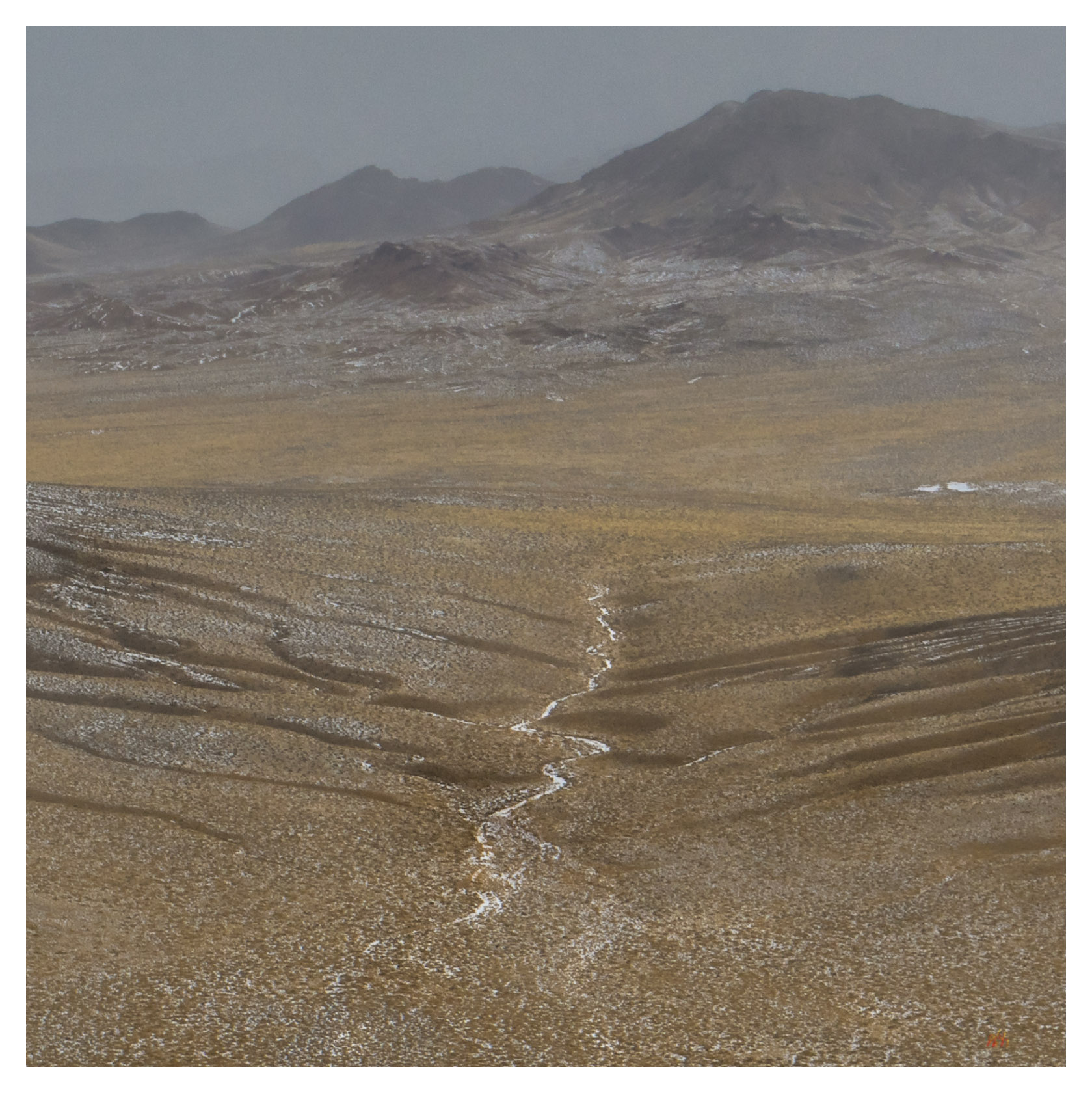
Nevada High Points #117 – Monitor Hills
A missile, about 10 feet off the ground, marked our turn. I have driven many times past this lonely missile mounted on a pole next to Highway 6 east of Tonopah, Nevada, always wanting to take the turn and head south. There is a secured gate several miles further, but we were headed to the Monitor Hills, and not this secluded entrance to the Nevada Test and Training Range. Clear skies preceded us, and yet we had been driving through an early morning that varied between fog, rain, and snow. The weather followed closely, overtaking us as we parked at the foot of the small range.
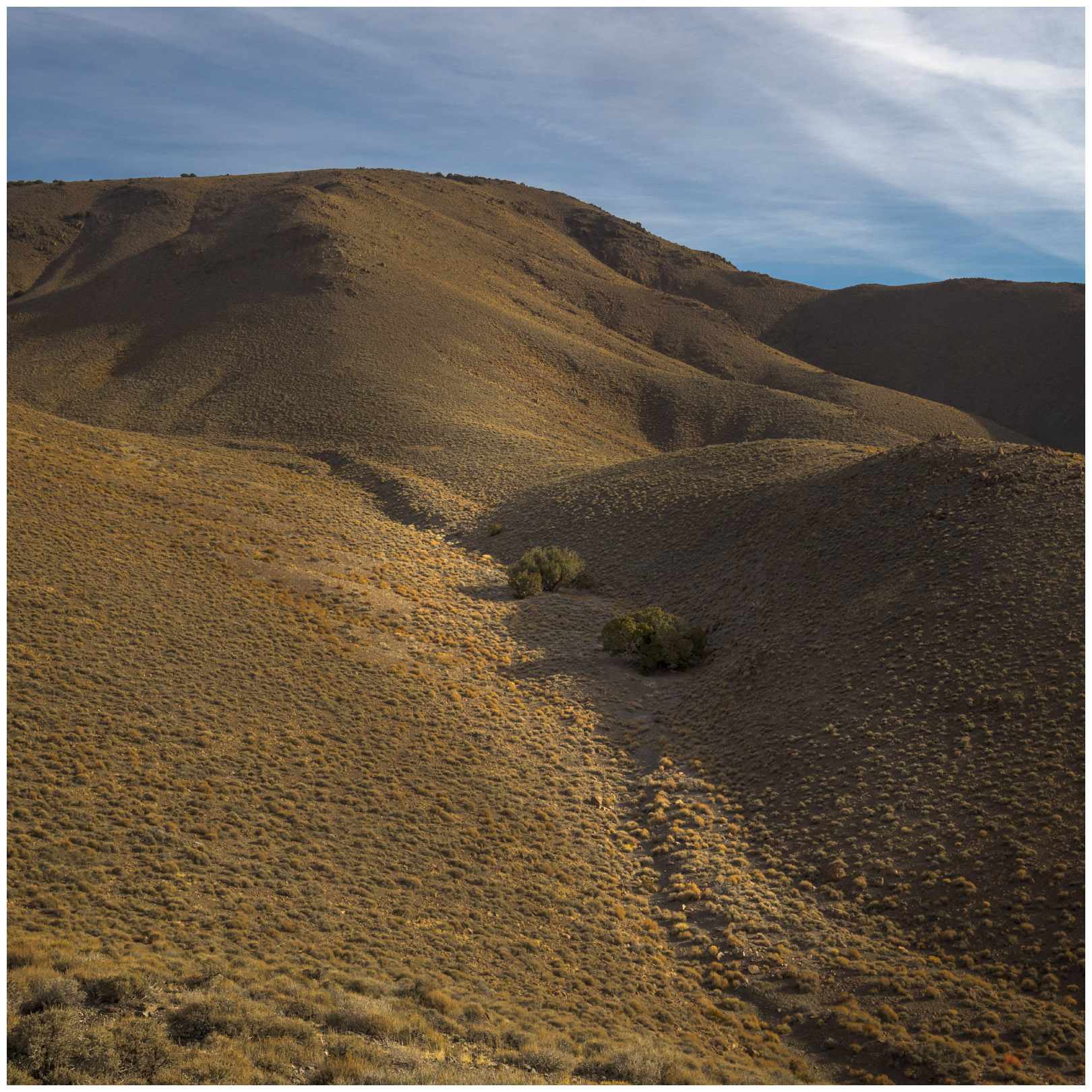
Nevada High Points #116 – Monte Cristo Range
It is an easy hike up a narrow floodplain, the only mappable landform of recent formation and age (Qa1; <25,000 years or so) that I traverse today, then onto some moderately steep slopes. An intervening gully harbors a pair of juniper trees that catch my eye. I try to work some photos of them, moving in to look at the shapes among the low branches and gnarled bark, but sadly I flush a pair of Short-eared Owls from their daytime roosts.
Continue Reading Nevada High Points #116 – Monte Cristo Range
Nevada High Points #115 – Mountain Boy Range
Below Mountain Boy. Looking into Diamond Valley from the slopes of the Mountain Boy Range, Great Basin Desert, NV, USA Peak 8083 8083 ft (2464 m) – 804 ft gain 2023.11.09 Mountain Boy Collection Following several days of landform reconnaissance along Highway 50, across central Nevada, I met Darren in Austin, Nevada, where he had…
Continue Reading Nevada High Points #115 – Mountain Boy Range
Nevada High Points #114 – Martin Creek Mountains
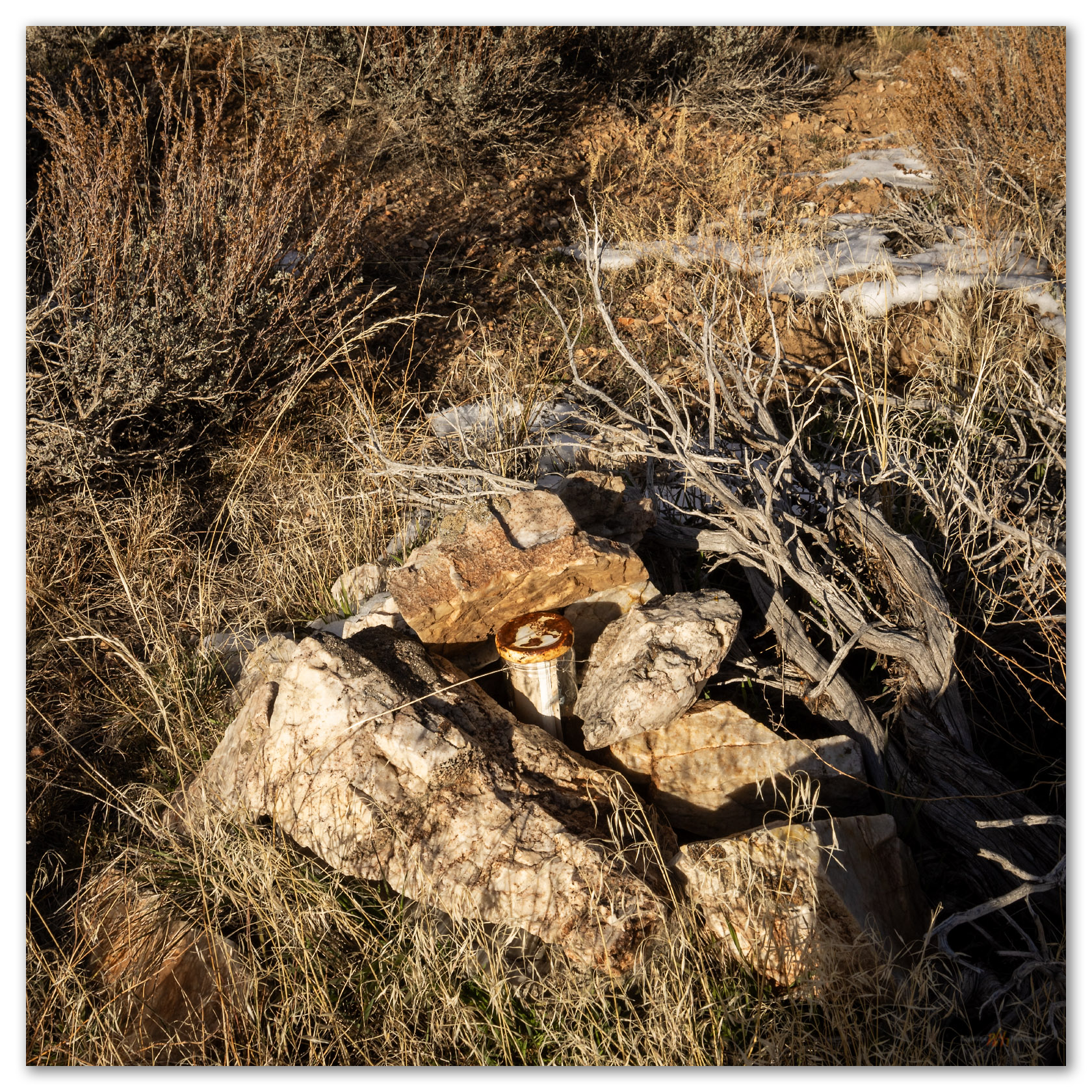
We leave the road to wander the outcrops forming the ridge to the summit. The sky is a treat today and there is dust in the air, so photography is interesting and fun. We are at the summit register easily, it is only a small cairn next to the communications box. A trail east catches my attention, and I can see that this could lead into some interesting country on its way to Martin Creek, the namesake drainage that bounds the ranges east side. There are several other small ranges to walk in this area, so I am hopeful that this trail hints at others further east. Again, I forget how interesting the hills rising from Paradise Valley are, even as I lived in Winnemucca once-upon-a-time and not so far away.
Continue Reading Nevada High Points #114 – Martin Creek Mountains
Nevada High Points #113 – Whistler Mountain
I have been on a mapping excursion, developing an archaeological sensitivity model on a cross-section of Nevada, basically paralleling Highway 50. Setting camps along the way, it sometimes puts me in proximity to high points on my target list, and today I am up early for a walk up Whistler Mountain, a small mountain range rising between Diamond Valley and Kobeh Valley in central Nevada. West of Devils Cut, a prominent cut in ancient seabeds rising in gray stripes of limestone, I turn across Slough Creek to traverse along the base of relict fan lobes before turning eastward and upward on a two-track road leading into a relatively dense pinyon-juniper woodland.
Continue Reading Nevada High Points #113 – Whistler Mountain
Nevada High Points #112 – Currie Hills
I was on my way to the University of Utah in Salt Lake City, Utah, to join a couple colleagues for fieldwork across the Bonneville Basin, choosing a traverse of Hwy 50 as my preferred and typical route. With days getting to summertime length, however, I had time for a diversion. The Currie Hills rise easily about halfway on a south-to-north line between Ely, Nevada, and Wendover, Utah; I was due for a high point.
Nevada High Points #111 – Pahsupp Mountains
I am headed toward the Pahsupp Mountains, where a prominent block rises above Trego Hot Springs at the playa margin, but the range’s high point is stretched out to the south as Dry Mountain (6,526’). As I turn away from the playa, the usual landmarks having long faded into the night, my view is confined to flashy, narrow strips of rabbitbrush bright at the dusty road margins. A jackrabbit darts through the high beams on occasion; hard to tell, but I don’t think it’s the same one each time.
Continue Reading Nevada High Points #111 – Pahsupp Mountains
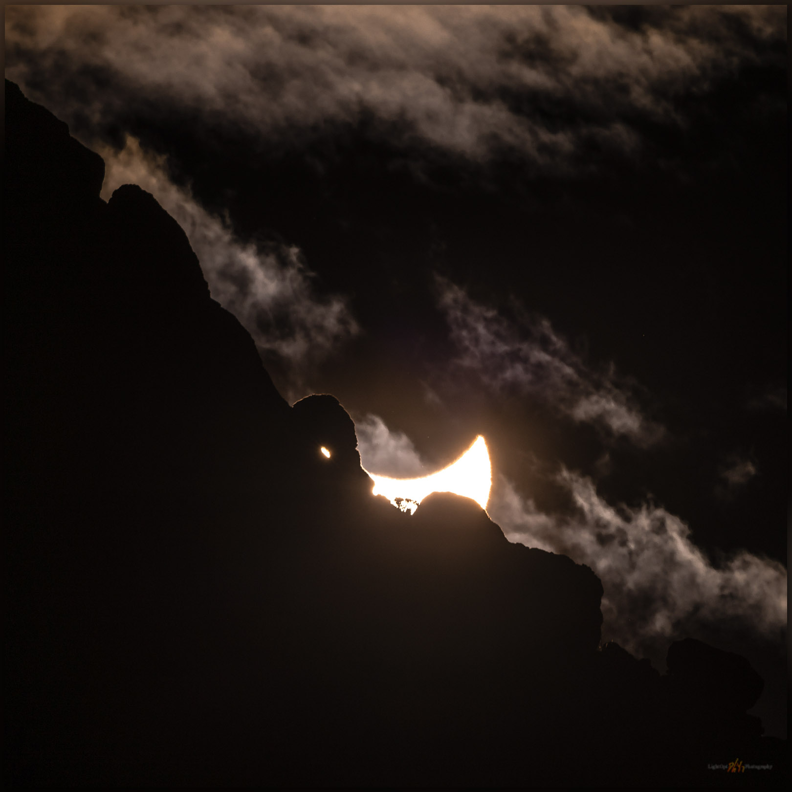
Annularity 2023 – A solar eclipse somewhere in Nevada, USA
The forecast for Winnemucca, Nevada, where our plan was to scour the dunes north of the Humboldt River for foreground leading to annularity, was accurate if not precise — mostly cloudy to mostly sunny. What could go wrong?
Continue Reading Annularity 2023 – A solar eclipse somewhere in Nevada, USA
Nevada High Points #110 – Lodi Hills
Occasionally, a highpoint excursion takes me into an area where our field teams are working, and this provides a good opportunity for a closer look at the landscape surrounding our project efforts. I left home early thinking I would get to the base of the Lodi Hills – my highpoint target on the day – to cover the relatively short, easy walk above Gabbs Valley in west-central Nevada; afterward I might check in with the crews to see how things are going.