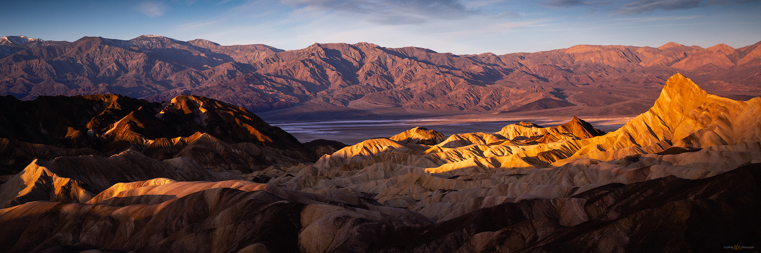
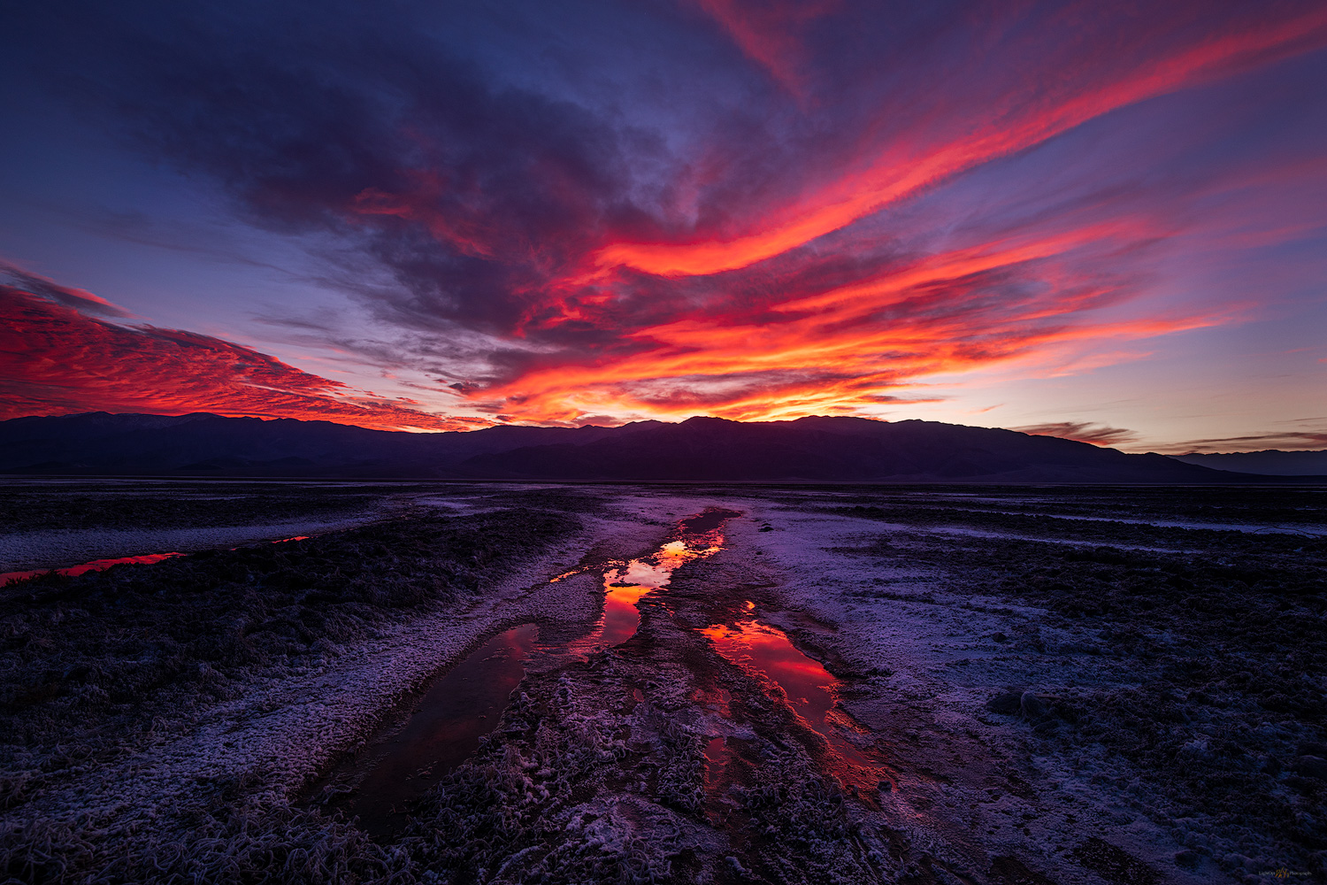
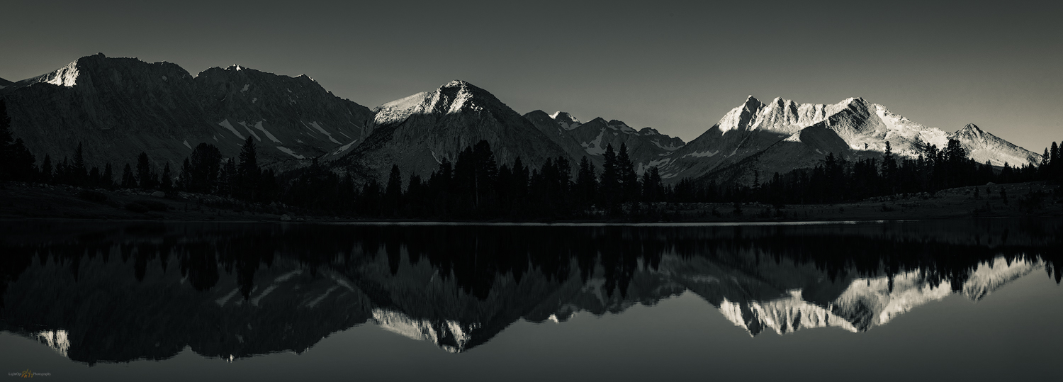
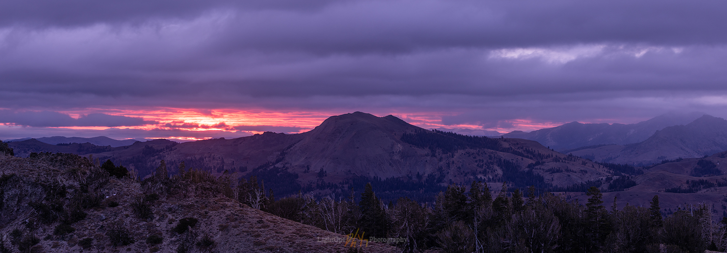
These are the stories behind the images captured during excursions — near and far. The blog-style posts present the images individually and in gallery format, along with the story of the excursion and various details about the images. The images are processed and edited. Some may be layered or stacked for focus; minor distractions or blemishes may be removed. I do not otherwise composite or replace elements.
Background information at About TrailOption and LightOpt: A Beginning. Please comment and subscribe for spam-free updates on new content and upcoming plans.
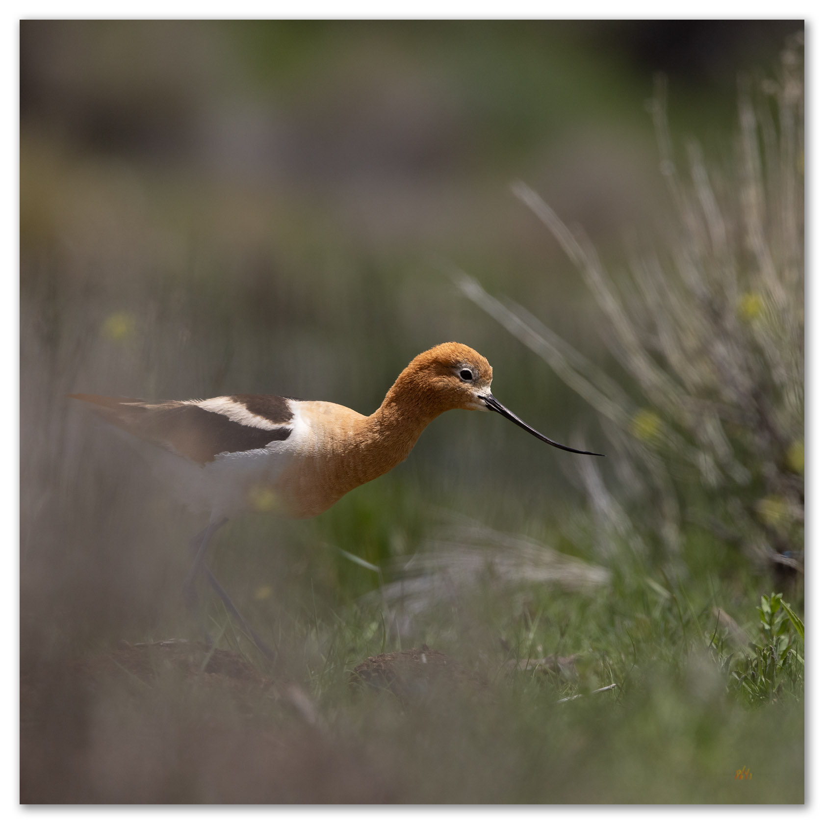
Avocets of Kobeh Valley, NV
On this day in early June, with a thunderstorm in the distance, I drop behind a horded pile of gravel at the edge of broad pit to find that is rim encompasses a postage-stamp oasis of wetlands and ponds; it is maybe the size of a couple tennis courts. Two pair of American Avocets wander the shore, flushing in a quick circle as I approach and stop dead in my tracks. I abandon my truck, quietly grabbing my camera and a long telephoto. I will lay at the pond margin a while until the settle in to my quiet presence. It is worth the wait.
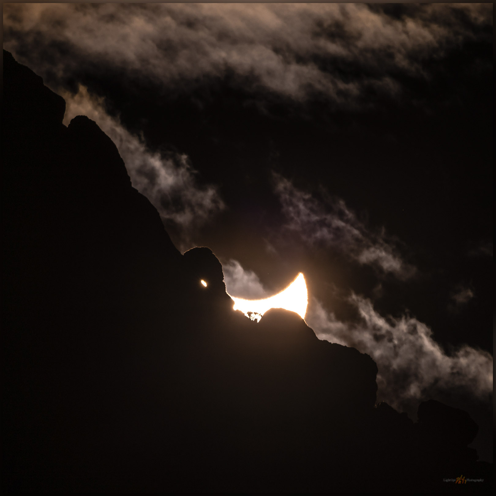
Annularity 2023 – A solar eclipse somewhere in Nevada, USA
The forecast for Winnemucca, Nevada, where our plan was to scour the dunes north of the Humboldt River for foreground leading to annularity, was accurate if not precise — mostly cloudy to mostly sunny. What could go wrong?
Keep going… Annularity 2023 – A solar eclipse somewhere in Nevada, USA
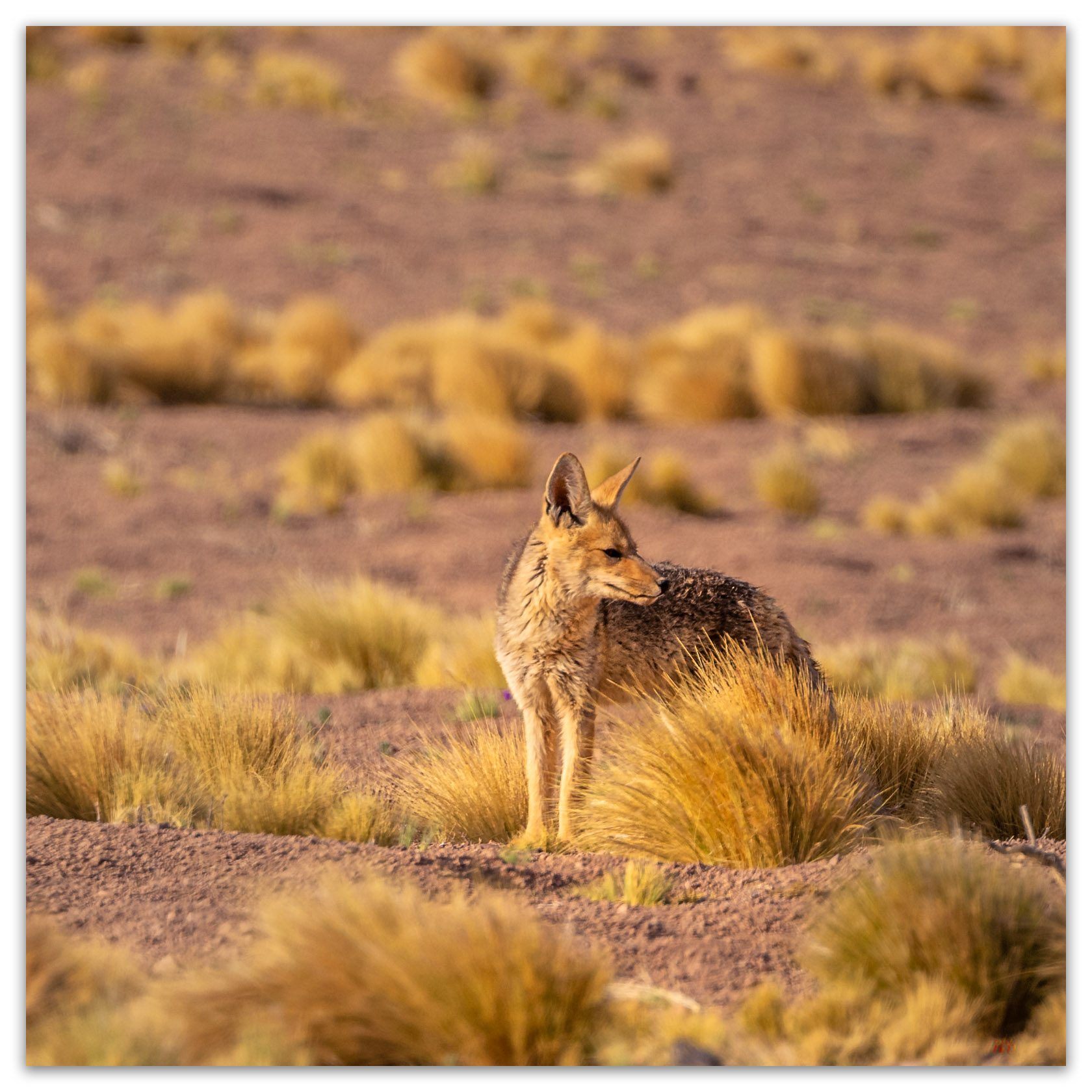
On the edge of wild — Atacama Desert, Chile
With the wilds of Patagonia still fresh in our minds, Bill and I spent a short night in Santiago and then climbed on another Latam flight. We were headed north, working our way up the latitudinal expanse of Chile, exploring the regional extremes from glaciers to desert dry lakes, from sea level to the altiplano with volcano summits at 20,000 feet.
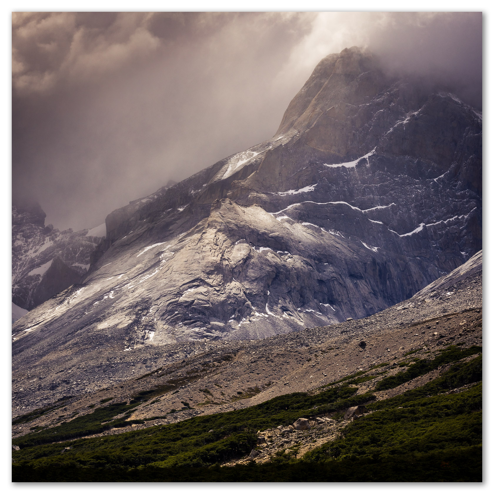
On the circuit in Torres del Paine National Park, Patagonia, Chile
In January, I had the good fortune to travel to Chile with my good friend, Bill Bloomer. We planned this after the rise-and-fall of Covid’s delta variant thinking that, just maybe, the window would remain and, with due care, we could wander a few distant places once again. And then there was omicron.
Keep going… On the circuit in Torres del Paine National Park, Patagonia, Chile
Winter’s Coming to the Eastern Sierra, CA
We were closing out the 2021 field season in Owens Valley, and I had been on a long circuitous road trip working on projects in San Diego, California, visiting with colleagues in Henderson, Nevada, and traversing Death Valley to return to our team working on the fans of the Owens Lake basin. While we wrapped up our fieldwork, the first solid winter storm bore down on the Sierra.
Playa and Pottery – Black Rock Desert Region, NV
The playa passes quietly beneath the truck, a narrow path traced by the headlights in the predawn darkness. I had left Desna at Planet X to see what the sunrise might bring on the Black Rock Desert playa. A canopy of bright stars suggested that the desert sunrise would be quick; a transition from an early glow to generally blue skies.
Keep going… Playa and Pottery – Black Rock Desert Region, NV
Whitney Views – Owens Valley, CA
It turned out the sky over the Sierra decided to put on a show, evening and morning. The east side, beyond the Owens River, provides a long view of the Sierra crest. The view of Whitney is rather iconic, with easy, attractive compositions coming from Alabama Hills, at shoulder-side on Highway 395, or further out in Owens Valley, where I sat now.
Saline Valley Salt Tram – Inyo Mountains, CA
While most visitors are impressed by the remains and awed by the effort required in its construction, vandalism, whether purposeful or simply irresponsible, is an on-going concern. Our task was to map the summit structures using three-dimensional photographic tools with imagery obtained by drone. After the adventurous but grueling drive, we set up camp and prepared for some early morning flights.
Fall Color – Smith Valley, NV
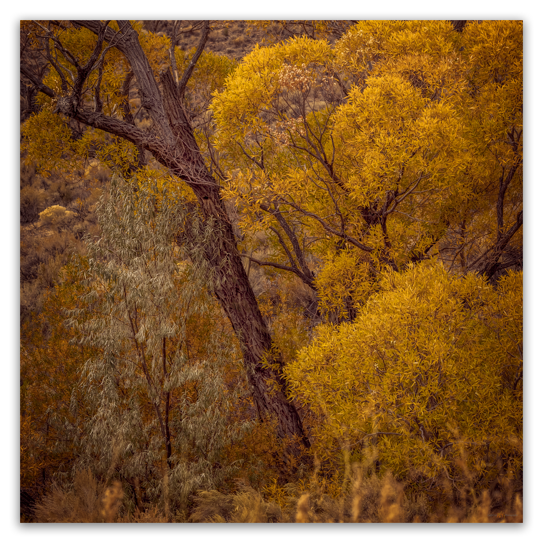
A storm had set in; great wind and slashing rain at StoneHeart throughout the night. And yet the Sierra seemed to have caught the storm by the tail keeping it from breaking further east. When this happens, the sunrise has promise. Hunting color at the edge of the storm, I set out into the dark rain of the pre-dawn, hoping the weather radar had truth in it. Fall Color – Smith Valley Collection Fall Color – Smith Valley Collection Smith Valley is on the opposite side of the Pine Nut Mountains, east of our home. In less than an hour,…
Fall Color: A Rainy Evening in Hope Valley
Finally, rain. I spent the last week in the Mojave Desert, gouging around Las Vegas Valley, walking several ranges, and spending too much time in a casino conference center. I cannot complain about returning to in-person gatherings with colleagues and friends, but I still felt I needed the solace of Hope Valley among the first storm clouds of the fall. I had missed the peak colors, it seems, but the aspens and willows of Hope saved something for me. I found, however, that a darkness had settled in and the compositions, to my eye, today, were few. I worked among…
Wildlife Photography: Getting Lost with the Red-headed Woodpecker
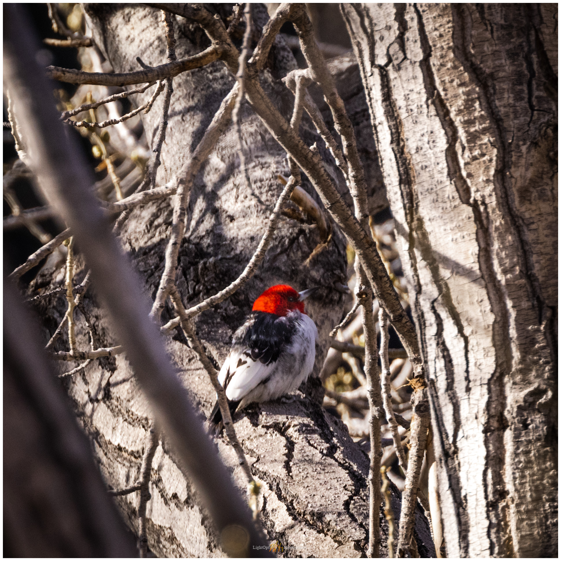
Ok, this is not a bird photography website. It just happens that this was an interesting week. Six-Mile Woodpecker Collection After our brief birding excursion along the East Walker River, Desna heard that a Red-headed Woodpecker had taken up brief residence in Six Mile Canyon in the Virginia Range, just below Virginia City, Nevada. This is interesting because the poor bird seems to be a bit lost. Their common range is east of the Rocky Mountains, with only occasional appearances in the West. Des made a successful sighting in Six Mile Canyon, along with a few other Reno-Carson-area birders out…
Keep going… Wildlife Photography: Getting Lost with the Red-headed Woodpecker
Wildlife Photography: Birds of the East Walker River, Nevada
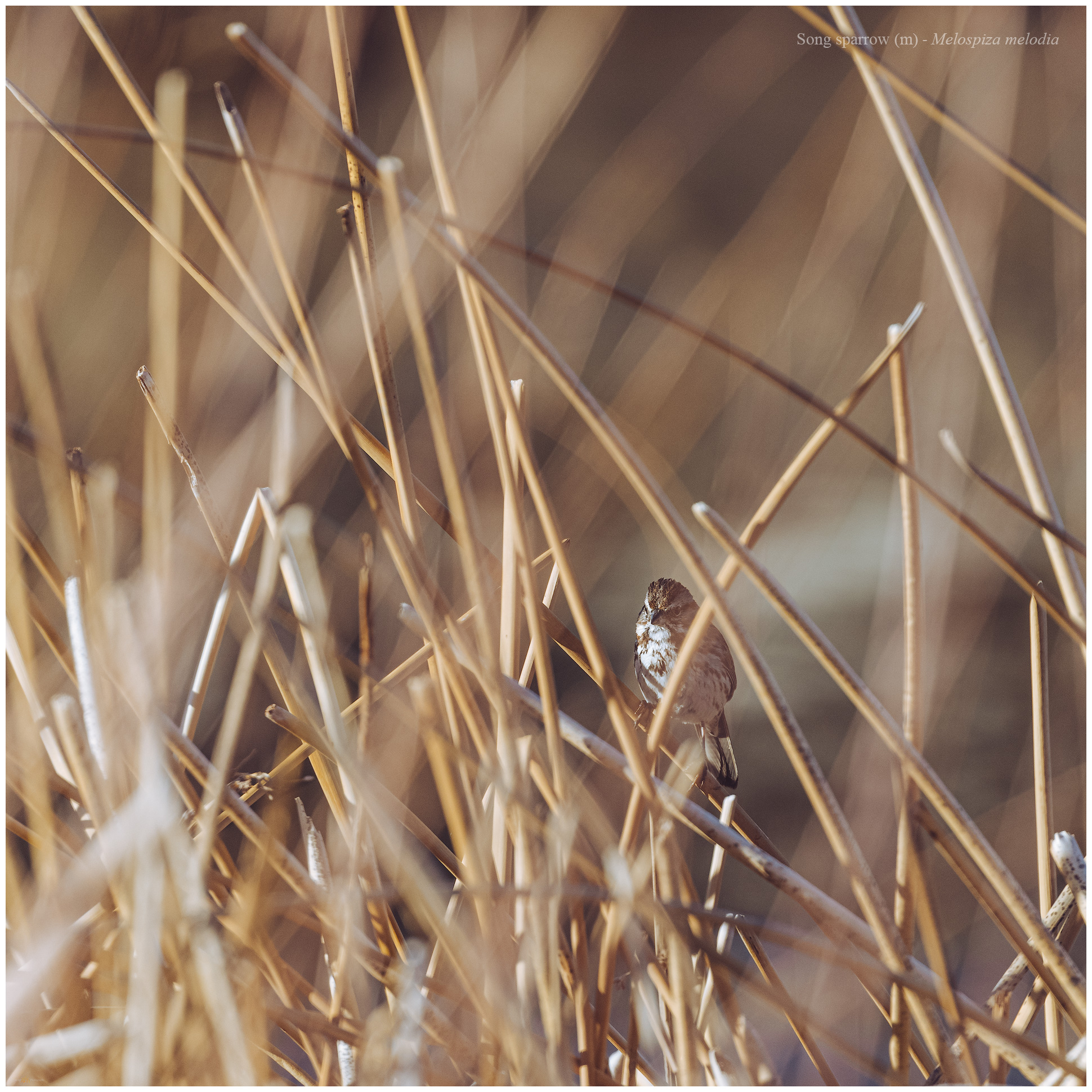
Here is a slightly different angle for the LightOpt Photography blog. My wife and I teamed up on a quick camp trip to the East Walker River to check out birds in the Walker River State Recreation Area, a relatively new component of the state park system. I had passed by here on my excursion into the Gray Hills and thought we might try the campground for an overnight; it is only an hour from home. The campground sits on old pasture or hayfields of the Pitchfork Ranch which is now the visitor’s center of the State Park. The campground…
Keep going… Wildlife Photography: Birds of the East Walker River, Nevada
Landscape Photography: Snow Recce in Antelope Valley CA
Snow filled the valleys of the western Great Basin at the end of January, when lake-effect squalls, energized as they traversed Lake Tahoe, cycled through the valleys southeast of the lake. We approached two feet of coverage at St0neHeart, with deep drifts along fence lines and out-buildings. So early on a Sunday morning, I decided to chase the light while the snow was still fresh and deep in the fields and foothills of Antelope Valley, across the state line but not far from home. There had been rumors of fog in the forecast, but the the pre-dawn sky was clear.…
Keep going… Landscape Photography: Snow Recce in Antelope Valley CA
Landscape Photography: Late Snow and Last Light on the Black Rock Playa, Nevada
I spent the day, having started well before sunrise, on an overland obsidian recce focused on the geomorphology and distribution of the Majuba and Seven Troughs toolstone sources. A series of dramatic snow squalls cut that effort short just as I reached the ‘High Road’ from Sulphur to Gerlach. However, as I broke out of the western margin of the storm, I could see a blanket of new snow across the dark space of the playa of the Black Rock Desert. The playa is typically a dry, dusty basin — most experience this place in the summer and fall, with…
Keep going… Landscape Photography: Late Snow and Last Light on the Black Rock Playa, Nevada
Nevada High Points #76: Montezuma Range and Clayton Dunes Overland
Montezuma Peak 8373 ft (2552 m); Gain 1624 ft 2021.01.09 It was time for the initial ‘Second Friday’ excursion in 2021. Snow squalls had come and gone during the week, so our plan was to head south into the southern Great Basin so that the daytime temperatures would be somewhat warm and snow might be less in the higher elevations. Darren and I chose Montezuma Peak for our target, and I picked the dunes of Clayton Valley for our two-night camp. I met Darren in Carson City late on Friday morning. With a stop for fuel and a few supplies,…
Keep going… Nevada High Points #76: Montezuma Range and Clayton Dunes Overland
Twelve for 2020
Twenty-twenty might not be a year to look back on, especially for those whose lives suffered in the wake of economic setbacks, storms of fire or weather, and the unknowns and uncertainties of the insidious and unrelenting Covid pandemic. Communities, families, and friends suffered as misinformed and misguided (or worse) politics cut and infected deep wounds that may be more difficult to heal than the lingering effects of a virus. Still, hopeful moments rose above the noise as social injustices glared under focal spotlights and many sought connections with the natural world – these disparate things having in common entrapment,…
Landscape Photography: Overland in Nevada’s Carson Sink
The Carson Sink is the terminal basin of the Carson River, draining from the Sierra into western Nevada. The sink is also, at times, the terminus of the Humboldt River; in years of high winter precipitation, the combined flows can result in an expansive, shallow lake in the typically barren sink. And yet, even in dry times, the Stillwater Marshes — a National Wildlife Refuge — reach into the basin at the delta of the Carson River. The life-giving and ever-changing wetlands have been the homeland of North Paiute people and communities for millennia; the still are. Although the sink…
Keep going… Landscape Photography: Overland in Nevada’s Carson Sink
A glow that had to last — Death Valley, Part 3
It was time for a shower. Climbing out of Death Valley, we arrived at Lone Pine, California, in the late morning, seeking refreshment and food. The hotel was not crowded so we checked in easily, cleaned up, and wandered across the street for BBQ. It was not that we ate poorly in Death Valley, we just needed to fuel up for our last outings – an evening and early morning in the Alabama Hills. Lone Pine felt strange. I had worked here for extended periods last year, and I had typically camped in my trailer. Now I was a tourist…
Patterns and process — Death Valley, Part 2.
Our night in the overflow camp was not that bad, and we were up early covering the short distance to the iconic viewshed of Zabriskie Point. We were the first parking-area arrivals – Erno, Jeremy, Quinn, Sandy, and Randy – but were soon followed a good-sized crowd as the developed walkways of the overlook absorbed the people and numerous tripods. Despite the early morning visitors, it is not difficult to spread out and focus on some small scenes in the Zabriskie badlands while not missing out on the iconic expanse overlooking Death Valley. I climbed the hills to the north…
In the days when we could wander… Death Valley, Part 1.
There is always the desert. Although I thrive in arid landscapes, I find them difficult to photograph. Of course, there are waves of contrast in sand dunes, brilliant rocky outcrops, and magical golden-hour light, but so much of desert space is a great wide open, playas to mountains with subtle shifts in color. I occasionally come across exceptional images by the few who take the time to learn the desert light, and I continue to accept the challenge of capturing personal images in these cherished, sharp-edged lands. We would meet in the Eastern Sierra, Erno had the idea, heading into Death Valley…
Keep going… In the days when we could wander… Death Valley, Part 1.
High Sierra Photography on Horseback (2019): An abundance of clear sky
Desna, my wife and partner, is into horses. I am comfortable around horses and like them, but I am mostly the local ranch-hand in charge of construction duties that come with having a couple horses here at StoneHeart. Ok, I truly enjoy sitting on the fence at sunset, sharing a beer with the one horse that enjoys a few sips. I can stay upright in a saddle and, although lacking the appropriate horseman etiquette and skill, I can get them to go almost where I want them to go – as if anyone really can, they pretty much do what…
Keep going… High Sierra Photography on Horseback (2019): An abundance of clear sky
Luther Pass: Success of ‘Fourth Friday’
As I mentioned in my previous post, after months of futile attempts, I have resolved for 2020 to stick to a pattern of ‘second’ and ‘fourth’ Fridays. Second Friday is an outback or travel excursion combining field studies and photography, while Fourth Friday brings in a weekend of focused local photography. I am not sure how this will work out in the long run, but I have started well so far. The Clayton-Ione weekend provided an excellent bout of gouging around volcanoes and arroyos, while this past weekend – Fourth Friday – produced a combination of experience and photography that…
The Crater to Ione, NV: The resolution of ‘Second Friday’
It is a new year, 2020. I thought of doing a retrospective of last year’s favorite journeys and images. “My 12 Best Photos”, calendar-like (to follow a theme), or something similar. A look back, however, reveals several gaps in my photography journey. Those gaps opened as my vocational world (not too mention much of our national and global community experience) encountered turbulence. I turned to field studies and photography as escapes – I had many good field sessions, but they were escapes, nonetheless. Not escapes from the management attention that my business requires, but escapes as relief and rejuvenation. So,…
Keep going… The Crater to Ione, NV: The resolution of ‘Second Friday’
Dawn Squalls at Frog Lake
After endless days of blue skies, it looks like there is a change in the forecast. A generally dry cold front will roll through early Sunday morning, bringing strong winds and, more importantly, mid-level clouds and a slight chance of precipitation in the Sierra.
Palouse Photography: A Roadtrip
Although photo workshops can feel like a one-off experience, and often the expense makes it so, it is likely that you will develop a few long-lasting friendships and collaborations during the workshops you attend. And so it was that a group splintered from last year’s Iceland Workshop, and an excursion to the Palouse of eastern Washington gathered. I think Erno sparked the idea, and Jeremy committed to driving from the Midwest. Soon, Quinn and his son Corbin would fill out the team, meeting in Colfax, Washington, for a long weekend of light-chasing and storytelling. Although I typically prefer to photograph…
Frog Lake Recon, Carson Pass, CA
The smoke had cleared a bit at StoneHeart, so it was time to see how things were at the altitude of Carson Pass.
Sunrise and Smoke: An Early Morning Decision
Landscape photography typically involves planning, at least for me.
Tufa and Smoke, Mono Lake, CA
It was time to take advantage of a break in the work routine. The summer monsoons had recently encroached on the Pine Nut Mountains above StoneHeart, so maybe there would be some dramatic clouds and lightning to chase.
Memorial Day: Skunk Harbor, Lake Tahoe, NV
I wandered back-and-forth a bit, hoping to catch a composition. I’m not always patient enough to do this, but tonight I focused on simply taking my time
Quinn River and the Sentinel
I have been camped for a little more than a week with an archaeological team in the Quinn River Valley of northern Nevada. Our work focuses on the vast, natural obsidian sources of the Double H and Montana Mountains that rise west of the valley’s broad sagebrush and agricultural land. I have been doing research on obsidian sources in this area of northern Nevada, off and on, for over twenty years, and I am still amazed by the complexity of these ancient volcanic rocks. Of course, I enjoy every opportunity to get into this part of the Nevada outback. While…
Holiday at Planet X
One of my favorite respites from road-weary travel in the Black Rock – High Rock country of northern Nevada is a stop at Planet X Pottery. John and Rachel have become great friends over several decades of occasional, but all-too-rare, visits to their home and gallery northwest of Gerlach. Our shelves are lined with the basin-born art, pieces having evolved to daily utensils that maintain our connection to the desert at the foot of the Granite Range. We went out to visit John and Rachel and to share Thanksgiving dinner, taking a holiday break with a drive into northwestern Nevada.…
Morning Tarn, Carson Pass, CA
It was on Saturday’s run over the pass that I first encountered the small tarn and its reflecting views of Round Top beyond the pass to the south. The setting is perfect of some compositions of Round Top, a peak I have climbed several times, and I am sure astrophotography from the tarn would be special.
Rowan’s Night
Up early to process a few photos and then a good morning of shop creativity working on shelving in the studio. It feels good, and splintery, to work in the sawdust again – it has been a long while. I used up my wood supply, but I am satisfied with the first corner-piece of built-in shelves; time to get stuff off the floor. Nice storms in the afternoon, so we planned an evening excursion to Big Meadow, a short, up-hill hike from the trailhead where the Tahoe Rim Trail intersects Highway 89. I have run the trail through the meadow…
Bighorn and Dragons
I left StoneHeart about 9AM, a little later than I hoped to. Packed and ready for another opportunity to work on the Old River Bed Delta in the Bonneville Basin, Utah. Leaving Carson City, I worked my way eastward on Highway 50, fueling at the usual spots–basically the only spots. Traversing the heart of Nevada, Highway 50 has the moniker of The Loneliest Road in America. I will tell you straight up, it is no longer that, and I certainly know lonelier roads, but it remains one of my favorite drives. I choose it over Interstate 80, to the north,…
Night Landscape Photography, Dry Lake Valley, NV
Bats circled around me as I set up some lights. From the rocks above me, in an alcove beyond the rock art, a haunting songbird called in a steady repeat—once every twenty seconds. It’s probably a whippoorwill or something similar.
Keep going… Night Landscape Photography, Dry Lake Valley, NV
Smoke and Sunset: Grass Valley, NV
I’m back in Grass Valley, NV, working with a team of archaeologists and mapping the landforms along the valley margins. I left home this morning and I always enjoy traveling Highway 50, cutting across the middle of Nevada. The highways moniker as “The Loneliest Road” has lost its romance as daily traffic increases. I do remember driving east of Fallon and not seeing other travelers until approaching Austin or Eureka. But that was over a decade ago. It isn’t a busy highway, but it isn’t lonely. I’m pulling the camp trailer and that unfortunately cuts into the gas mileage. I…
First Astrophotography – Pine Nut Mountains, NV
It was beautiful, and nothing like what I could see with my unaided eye.
A Photo and Geo Recon, Grass Valley, NV
I have an on-going project in Grass Valley, Nevada, so I’m feeling good that I could get on the road today, on schedule, and into the Basin. Of course, a potent spring storm arrived overnight and the rain was steady as I left for the office, camp trailer in tow. The storm cleared during the day, but a gusty wind remained, not letting up as forecast.
Carson River Morning
Up early for a quick trip out to the Carson River. The river is swollen with early run-off, but the morning held a winter chill and little promise of photographer’s light.
Black Rock Desert Recon
The Black Rock Desert of northern Nevada is the epitome of expansive space as its vast playa, the remnant lakebed of pluvial Lake Lahontan, rolls off the horizon in all directions.
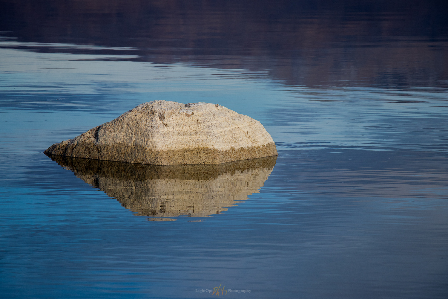
Stillness at Walker Lake, NV
I approached Walker Lake from the south at sunset, good timing after a long day’s drive. I have traversed this highway many times and spent some time on the lake, but I had never seen the glass-like stillness of this large remnant of pluvial Lake Lahontan.
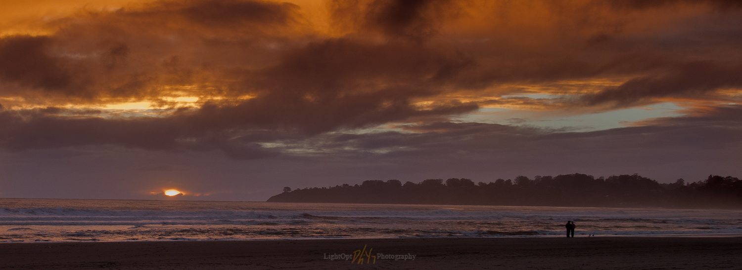
Seascape Photography is Difficult: Stinson Beach, CA
The compositions are working better, but Stinson is not a dramatic landscape. It is basically a long, crescentic curve of sand, but the openness is calming. I would like to learn to express that story.
Keep going… Seascape Photography is Difficult: Stinson Beach, CA
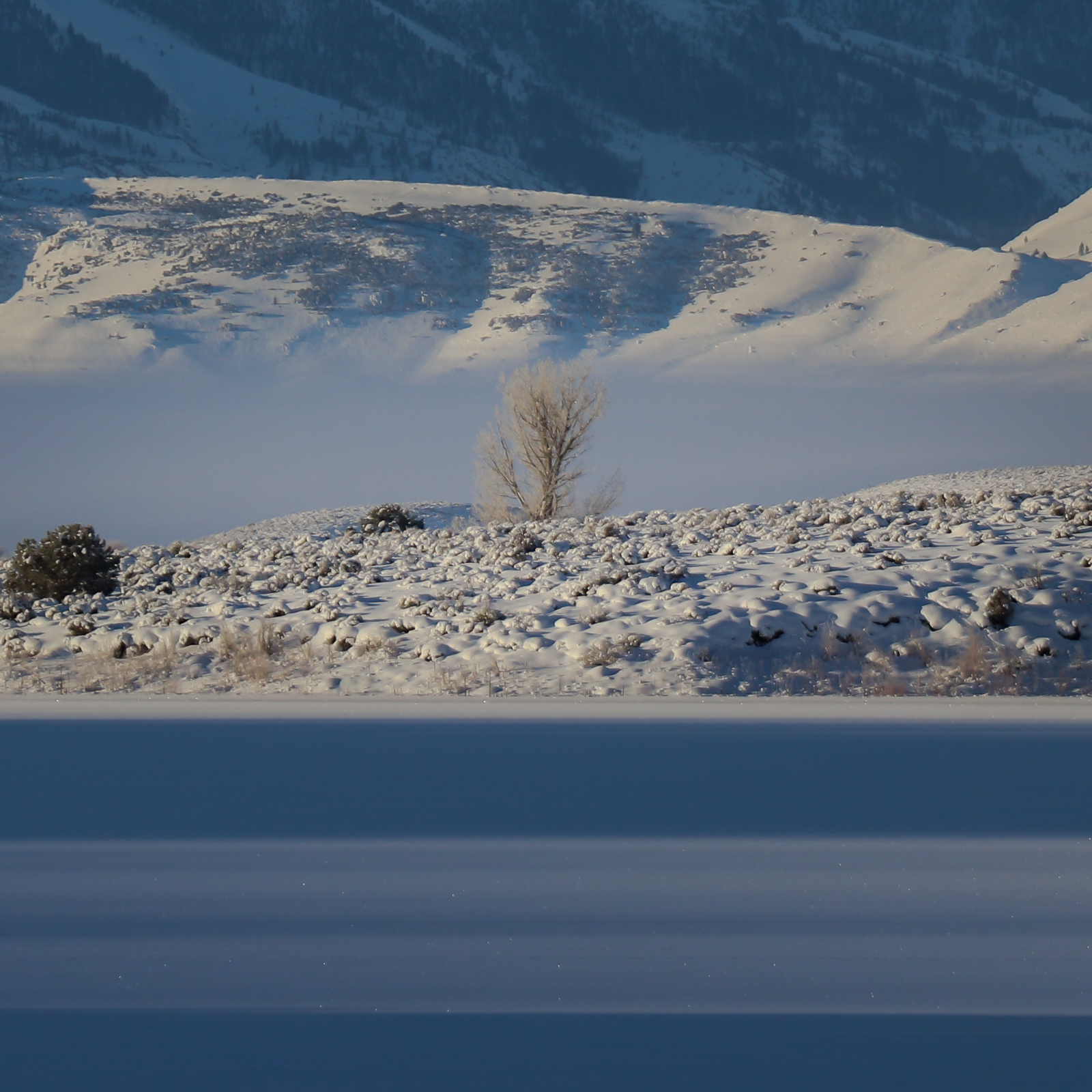
Deep Freeze at Bridgeport Reservoir, CA
Oh, and it was now -16F, so the cold smacked me hard when I jumped out of the truck.
Oh, I can process images?
In the early days of my landscape photography journey, everything seemed new and it was all an experiment
First Day Out – Hope Valley, CA
It seemed I was the only car in the darkness, on Highway 89 in the pre-dawn of New Years Day, the first day of 2017.
