I’m back in Grass Valley, NV, working with a team of archaeologists and mapping the landforms along the valley margins. I left home this morning and I always enjoy traveling Highway 50, cutting across the middle of Nevada. The highways moniker as “The Loneliest Road” has lost its romance as daily traffic increases. I do remember driving east of Fallon and not seeing other travelers until approaching Austin or Eureka. But that was over a decade ago. It isn’t a busy highway, but it isn’t lonely.
I’m pulling the camp trailer and that unfortunately cuts into the gas mileage. I can’t make it from Gardnerville to Austin – probably could just manage it, but it would be tight – so I fuel in Fallon and top-off in Austin. I also have 40-gallon reserve tank. This will allow me plenty of fuel for several days of backcountry travel in Grass Valley.
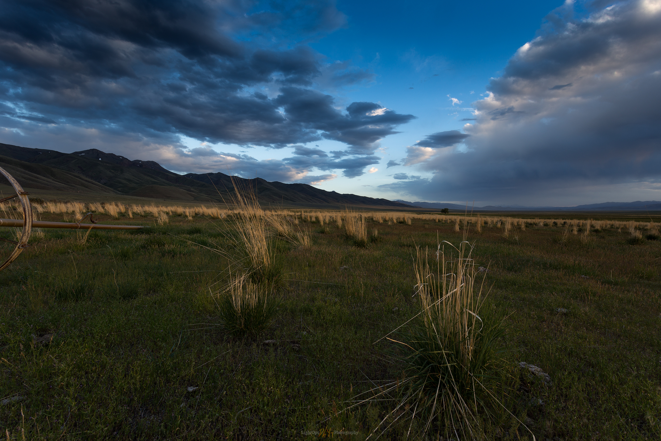
As I work my way north into the valley, I find the archaeologists surveying along Callaghan Creek. After checking in with the team, I set camp near the corrals at the Gund Ranch. I talk to the ranch manager to make sure my camp is out of the way. Out to work for the afternoon, ground-truthing my landform maps and age relationships I’d worked on over the past few months. In the evening I visited with the crew for a while and then headed into the evening light for some photography. I had often driven by a set of corrals a few miles south of the ranch and I thought it would be interesting in the developing sky. I wanted to experiment with foreground elements, here that included clusters of Great Basin Wild Rye and a piece of sprinkler equipment. Right off, I was greeted by a cloud of happy mosquitos.

I’m not real happy with the image. I waited for the light but my patience, and the mosquitos, limited my attention span. I think the pasture, grass, and sprinklers would work if I took more time. Lesson learned.
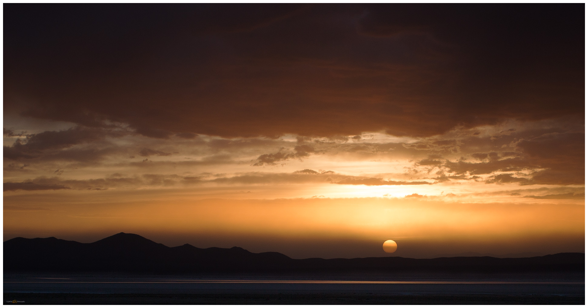
Although I may have left the pasture too early, it gave me the opportunity to watch the sunset develop right in front of me. A cluster of wildfires in western Nevada provided the scene for a wonderful sunset over the playa of pluvial Lake Gilbert. The sky highlighted a shallow playa pool far across the valley, detailing the shadows of the northern Toiyabe Range. This remains one of my personal favorites, a significant image in my portfolio from early in my practice. Sometimes the space just gives it to you.

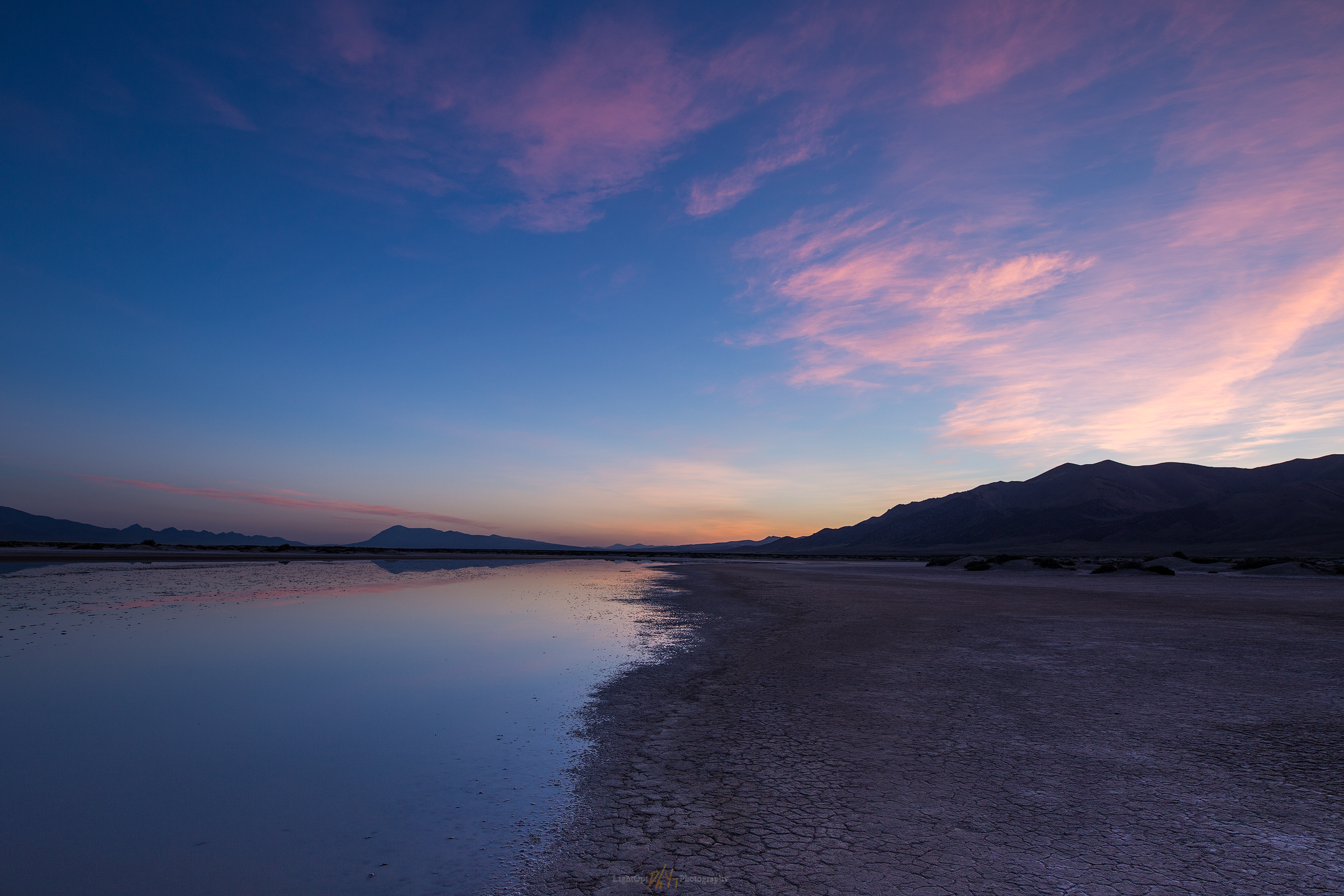
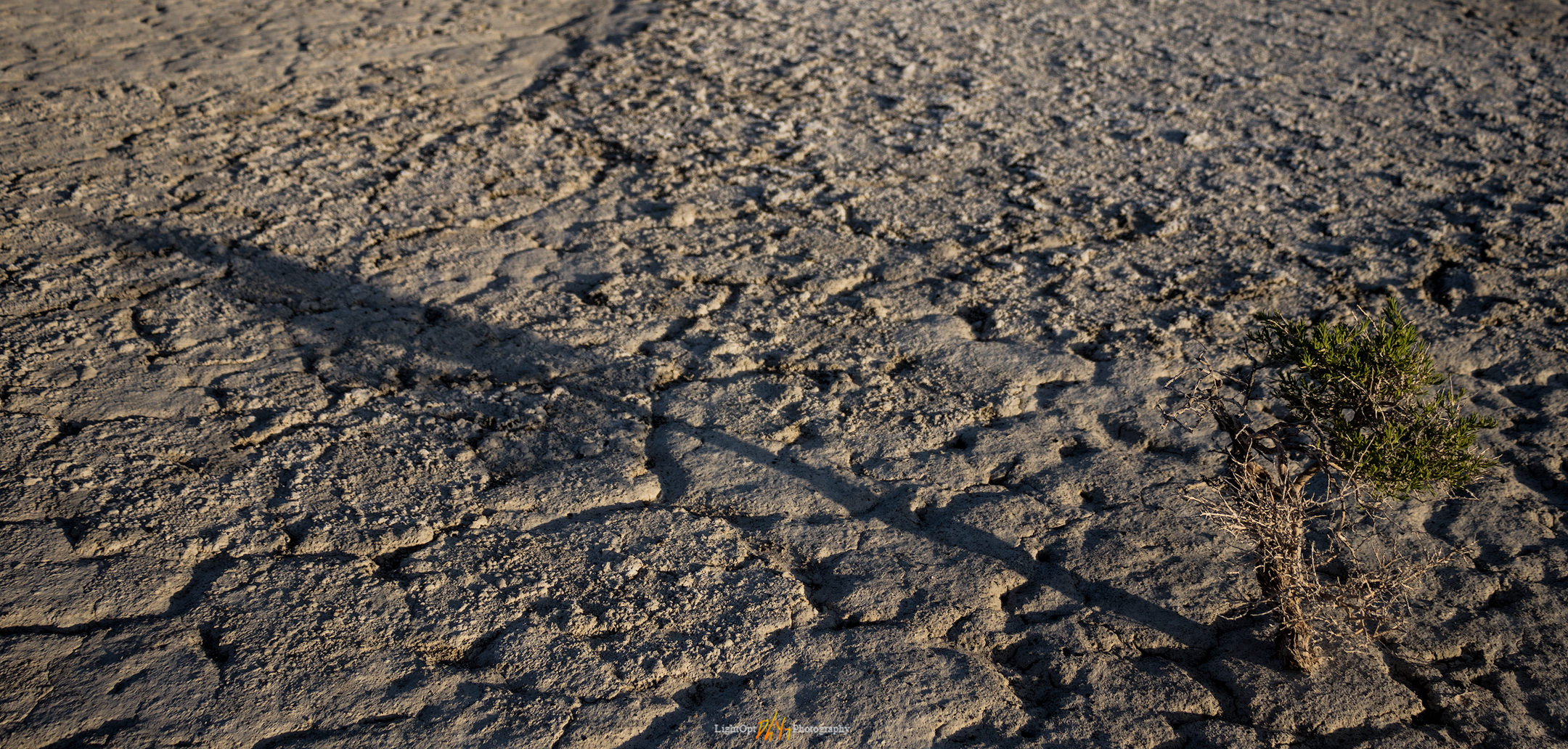
I stayed up too late with the crew last night, and my alarm at 4AM surprised me. The sky looked promising, however, and I knew I needed to get to the southern playa to hopefully capture some dune pedestals in the morning light.
I need to remember to prep gear in the evening, or otherwise keep it prepped for mobility rather than simply tossing the pack back into the truck after finishing the night before. I walked the playa where the late spring pool curves between a few dune pedestals. The scene is nice in the full moon and the dawn glow is pretty good, but the clouds aren’t doing much this morning. I worked on some video and timelapse, with some intent on vlogging about the playa and its interest to Paleoindian archaeologists, but this needs practice. For another day.


Keep going.