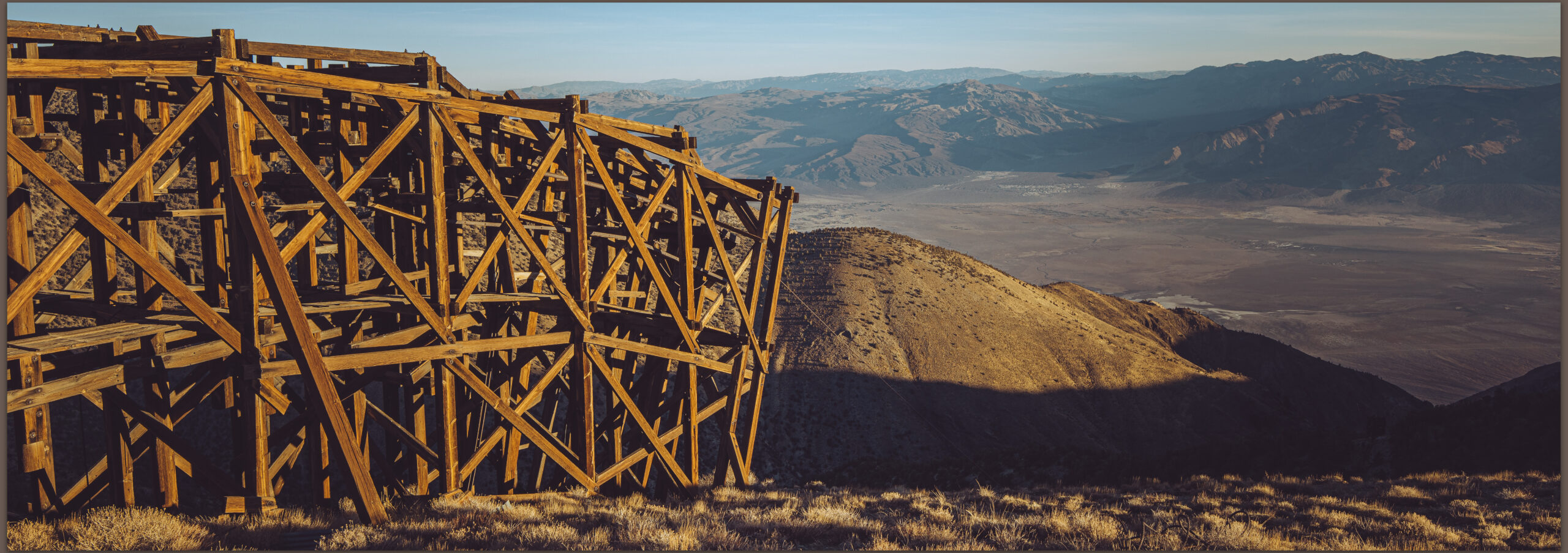
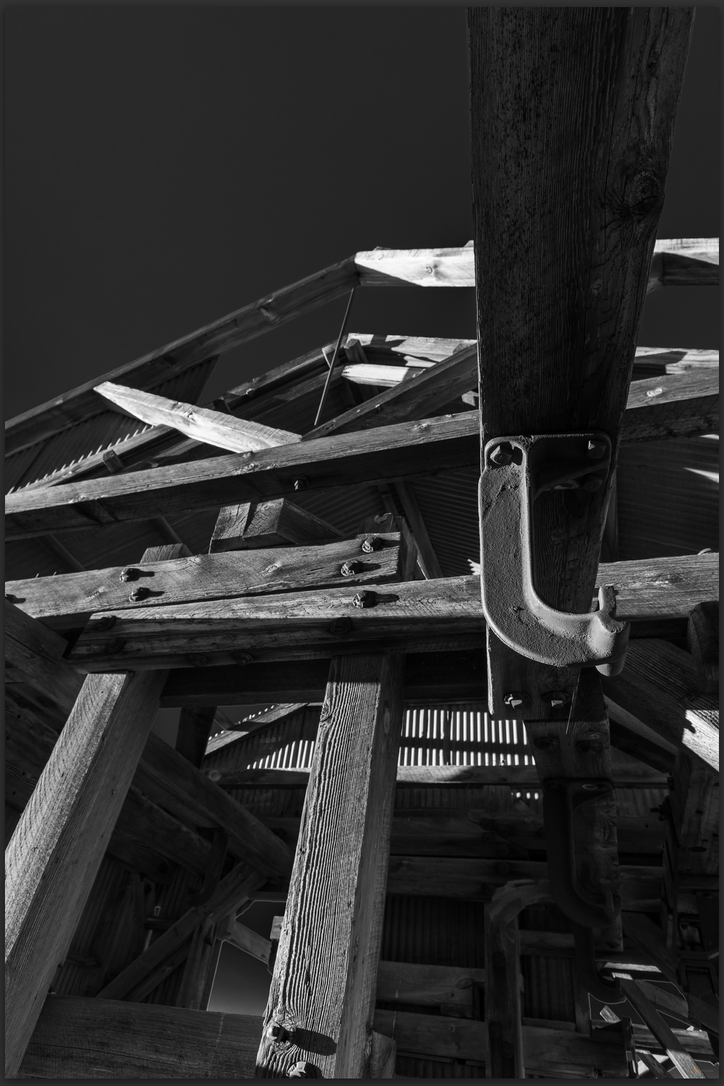
In early November, a few colleagues and I traversed the challenging 4×4 trail that skirts the ridge line of the Inyo Mountains, from Cerro Gordo high above Owens Lake, to the remaining historic-era structures of the Saline Valley Salt Tram. Although subject of a heroic restoration project several years ago, the summit structure remains exposed to the elements, of course, but it is also exposed to the rigors of heavy visitation. While most visitors are impressed by the remains and awed by the effort required in its construction, vandalism, whether purposeful or simply irresponsible, is an on-going concern. Our task was to map the summit structures using three-dimensional photographic tools with imagery obtained by drone. After the adventurous but grueling drive, we set up camp and prepared for some early morning flights. I am not an authorized drone operator, so I spent much of the time exploring the ruins and photographing from the ground.
Saline Valley Salt Tram Collection

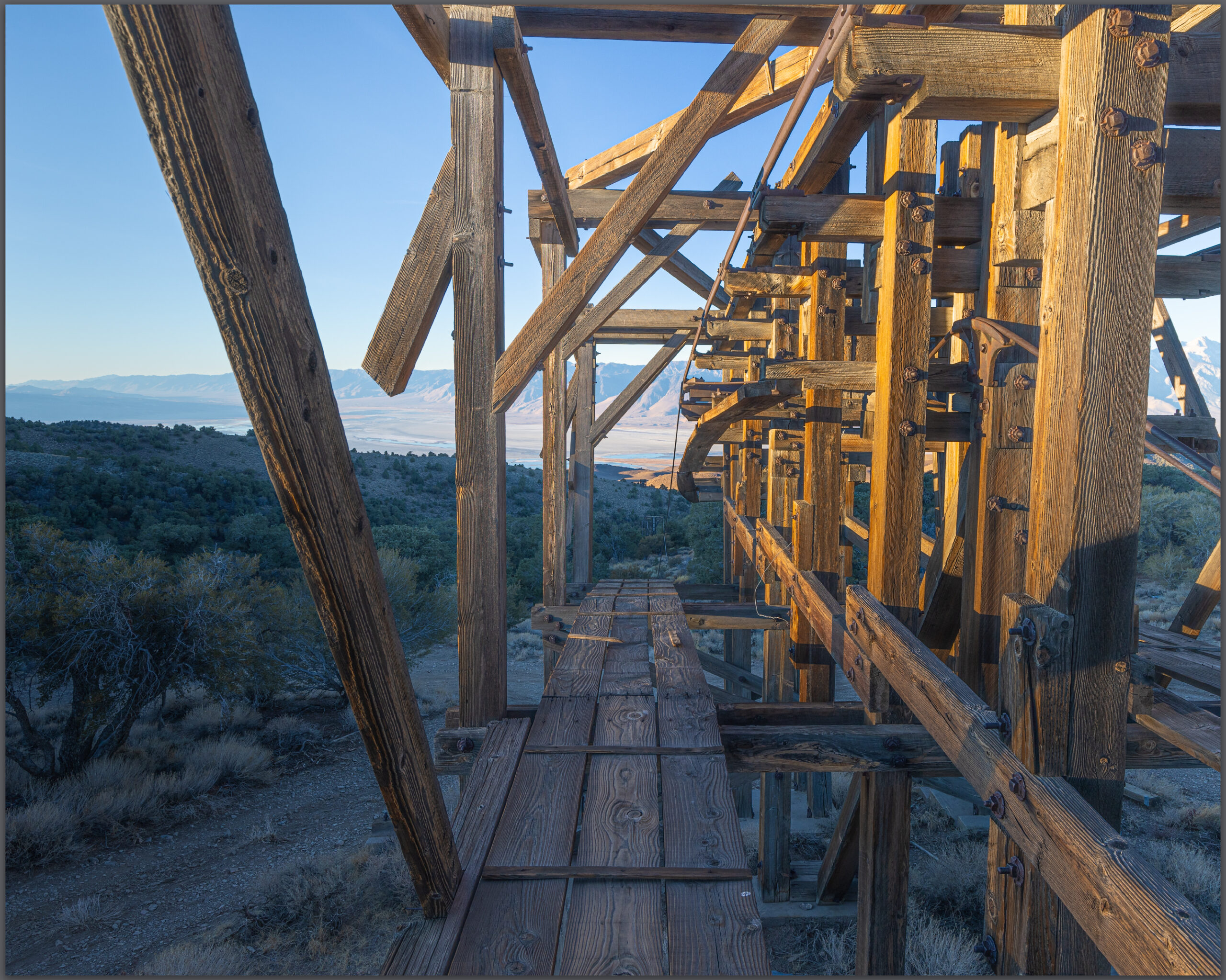
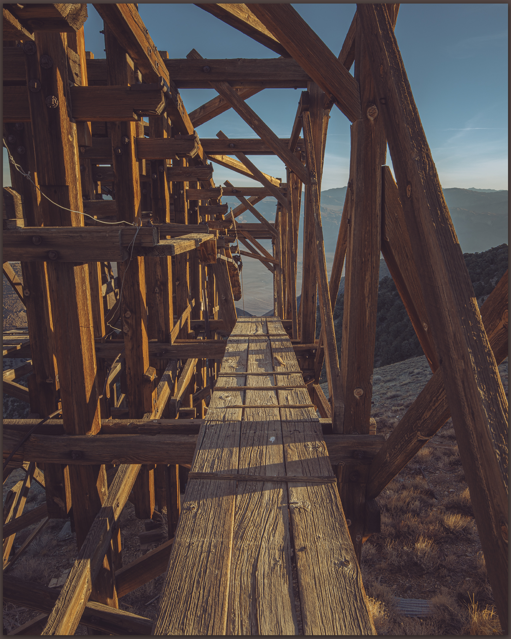
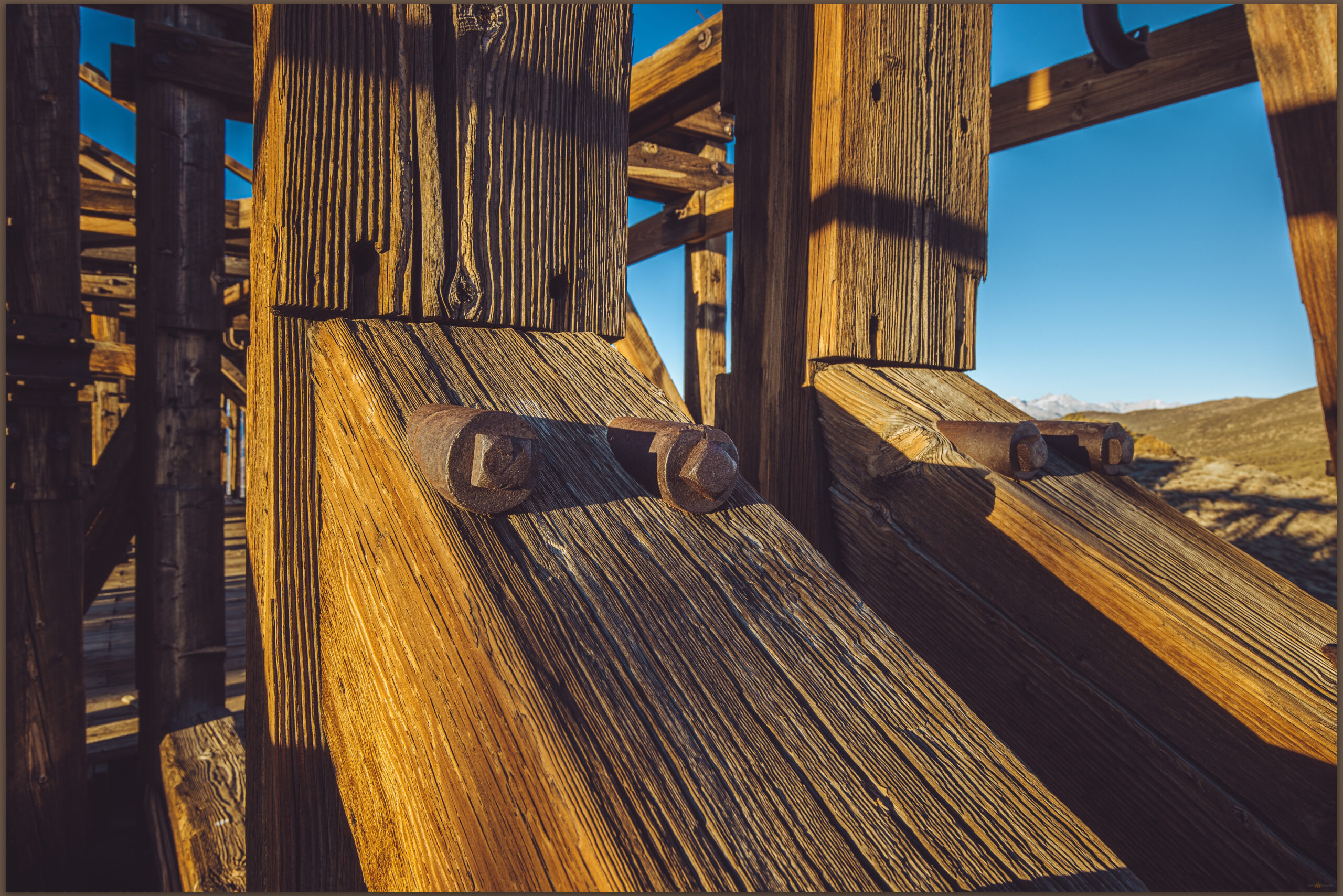
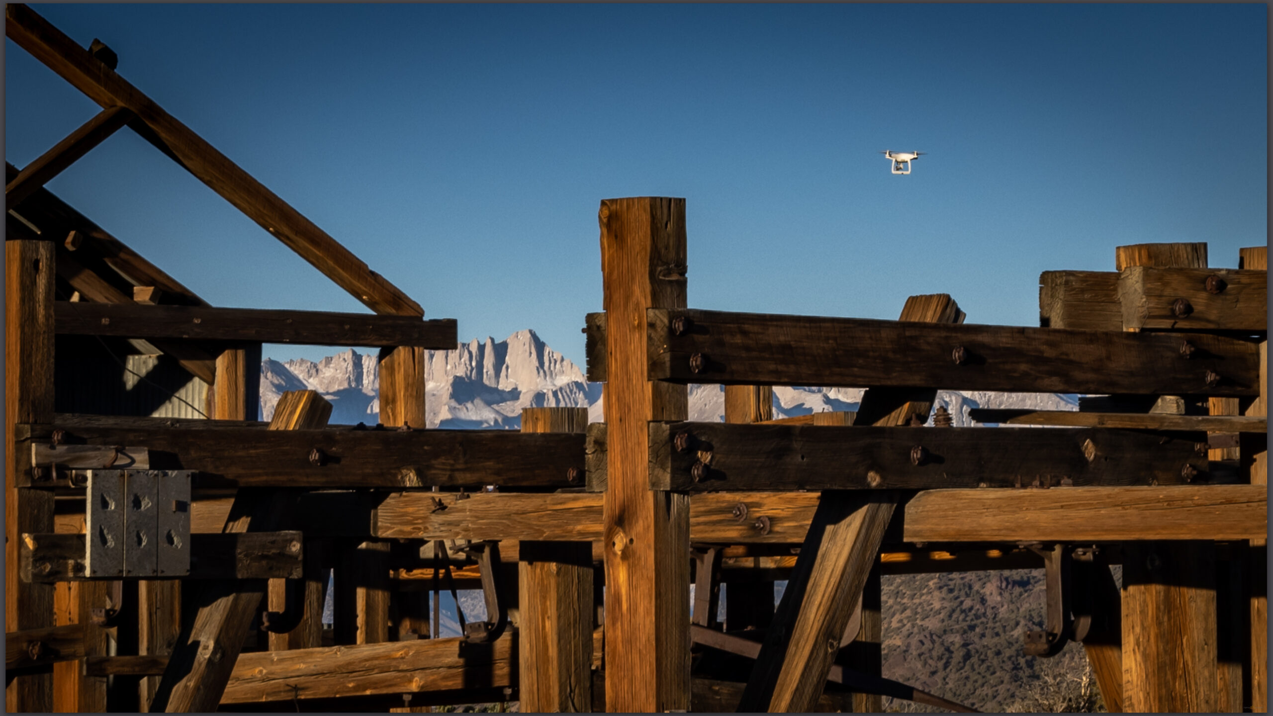
The tram transported salt from Saline Valley over the ridgeline of the Inyo Mountains and down to Swansea at the shore of Owens Lake. Dozens of stanchions in various states of preservation mark the route from one side of the mountains to the other; the stanchions, leading to and from the summit station, supported and guided cables and their swinging carts; they can still be traced today across the distance. It is an amazing story of engineering and effort, for a relatively short-lived operation.
Saline Valley Salt Tram Collection
I am not typically interested in photographing structures, but these stoked an interest, especially given the uninteresting light and weather on the perfectly blue-sky, fall days we experienced on our little project expedition. I would have better luck during the changing weather once I was back in the valley bottom – I was headed back to the landforms of the Olancha and Cartago margins of Owen Lake at the foot of the eastern Sierra.
Keep going.
Please respect the natural and cultural resources of our public lands.
Leave a Reply