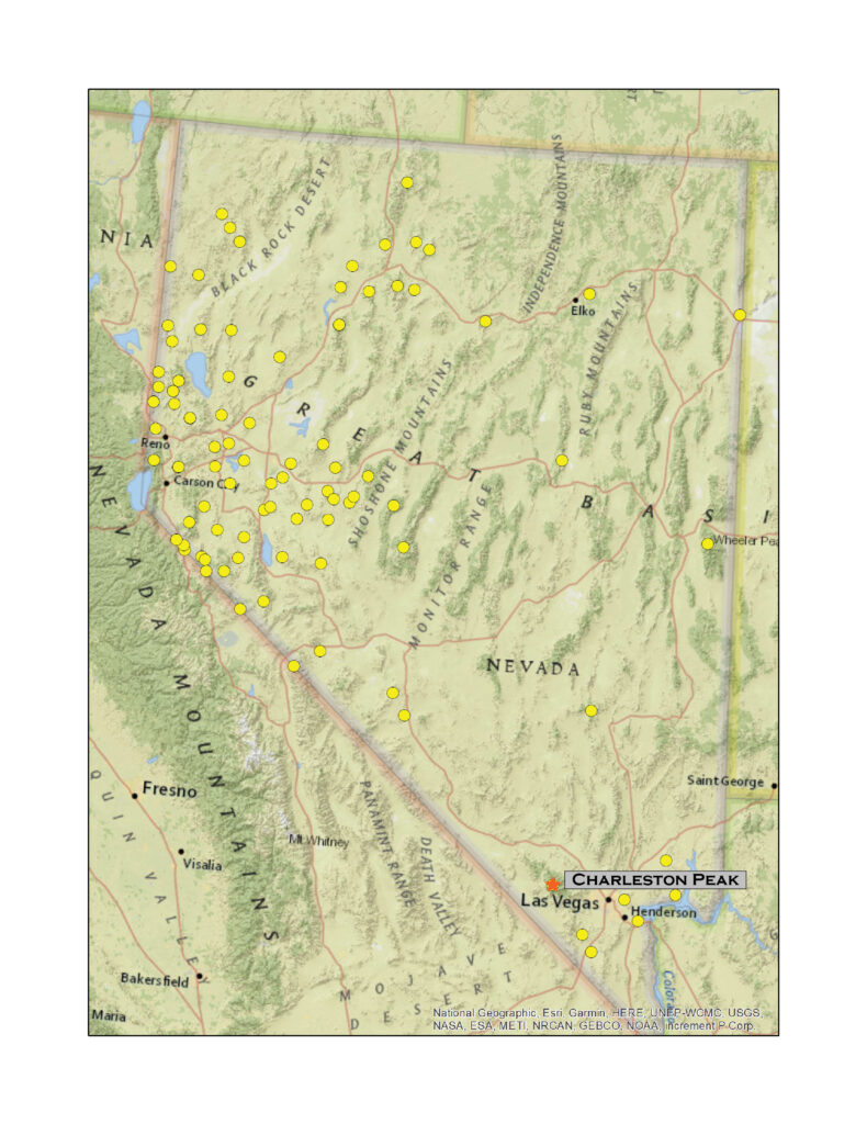
Charleston Peak
11,918 ft (3633 m) – 5300 ft gain
2021.11.09
We have not been on a big hill for a few months. The smaller, hidden gems are a pleasure, but nothing beats some elevation gain and ultimate altitude. I had a work week in southern Nevada, so we decided that for Second Friday we would climb Charleston Peak, high point of the Spring Mountains and a nice prominent summit in the midst of the Mojave Desert. Darren would fly home on Sunday, after which I was sentenced to a week on the strip. But I will deal with that later, tonight I am on the edge of the Mount Charleston Wilderness.
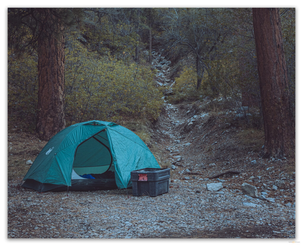
Camped in Kyle Canyon – bagged a USFS spot for a couple nights – I am up in the dark at 5.30 to prep coffee and breakfast, fuel for the day; Darren soon pops out of his tent to join me. We had set up our packs last night, and they were slightly heavier than usual. The day held an unsettled forecast so that meant a few more layers to take along – and I had my camera and a couple lenses, always good to be prepared even if it was a nice, promising morning. So, all things ready, we made a quick drive to the trailhead, where several cars were already in the lot – a small pack of trail runners heads north, they might have an adventurous day.
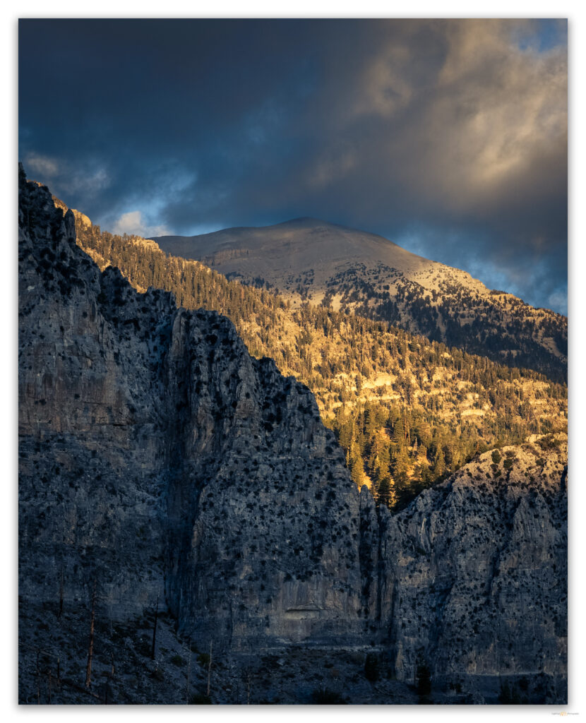
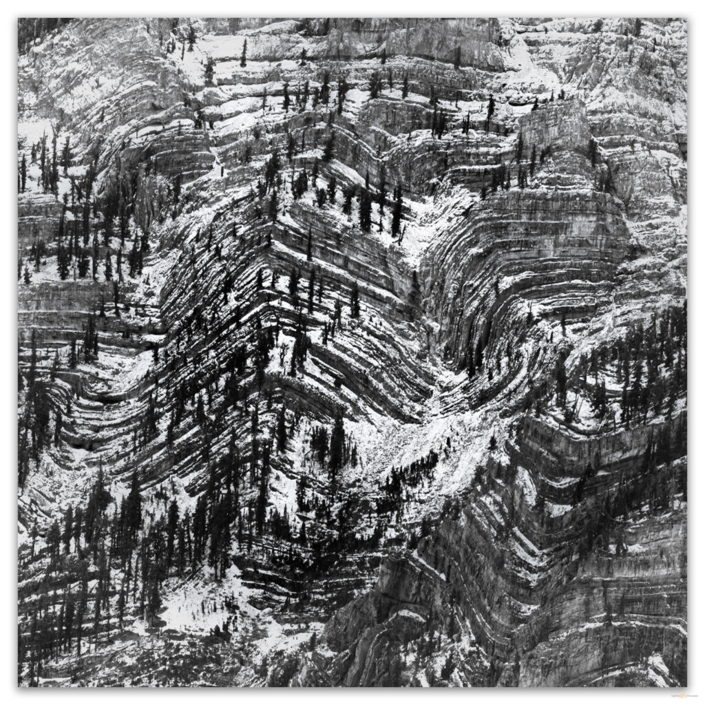
The typical route to Charleston Peak is known as the ‘South Loop’, although it is often done as an out-and-back. That is our plan given the day’s forecast. Although I am curious about alternative routes – the ‘North Loop’, also not a loop, stands out – there is a rather massive limestone wall that rises for a thousand feet or so, forming an abrupt and defensive eastern escarpment. And yet, there must be some interesting and challenging routes in there somewhere. Those kinds of challenges are behind me now.
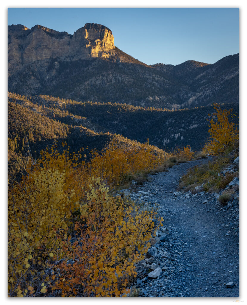
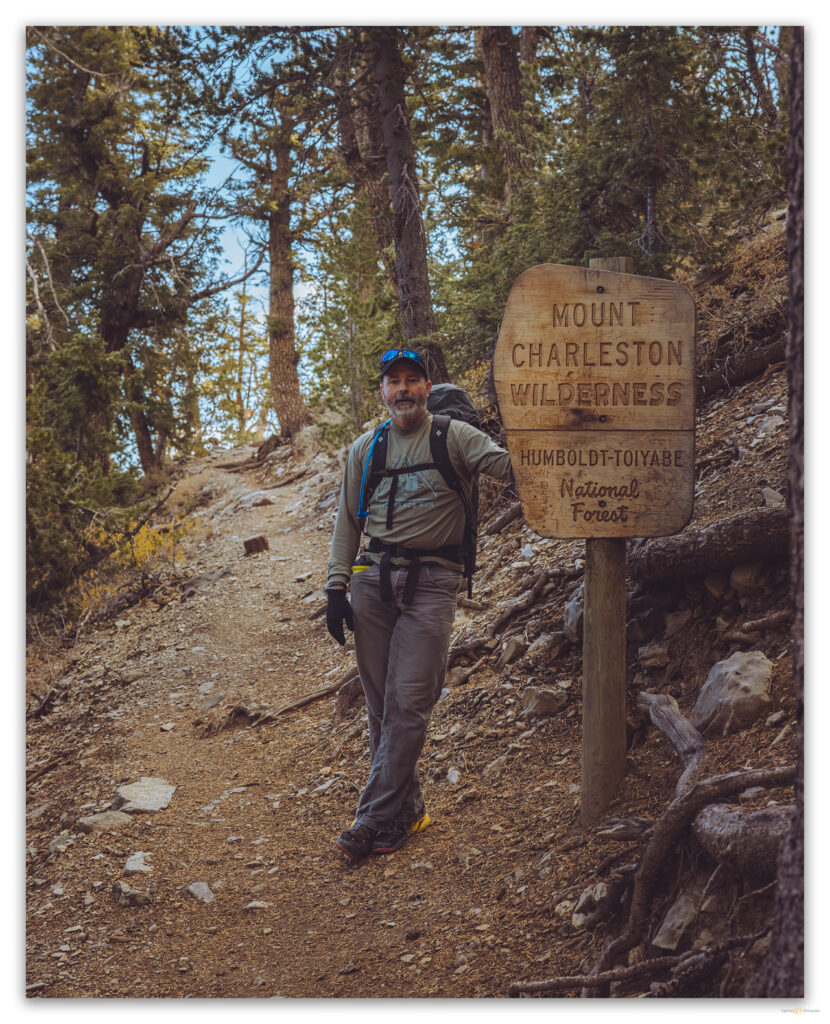
We begin the South Loop below Cathedral Rock and are soon in the slow switchbacks that ascend the gullies that cut the north face of Griffith Peak, a southern pinnacle on the long ridge connecting Griffith and Charleston. The route is basically forested switchbacks, one after another, leading unendingly, it seems, to the long (~4 miles) ridge that then climbs gradually for the remainder of the walk to the high point. It is a splendid trail. We have traversed riparian woodlands leading to stands of ponderosa pine transitioning to lodgepole, fir, and, eventually, bristlecone – wonderfully diverse above the desert.
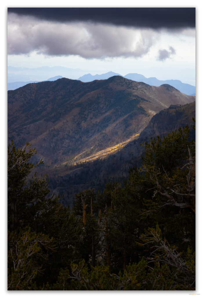
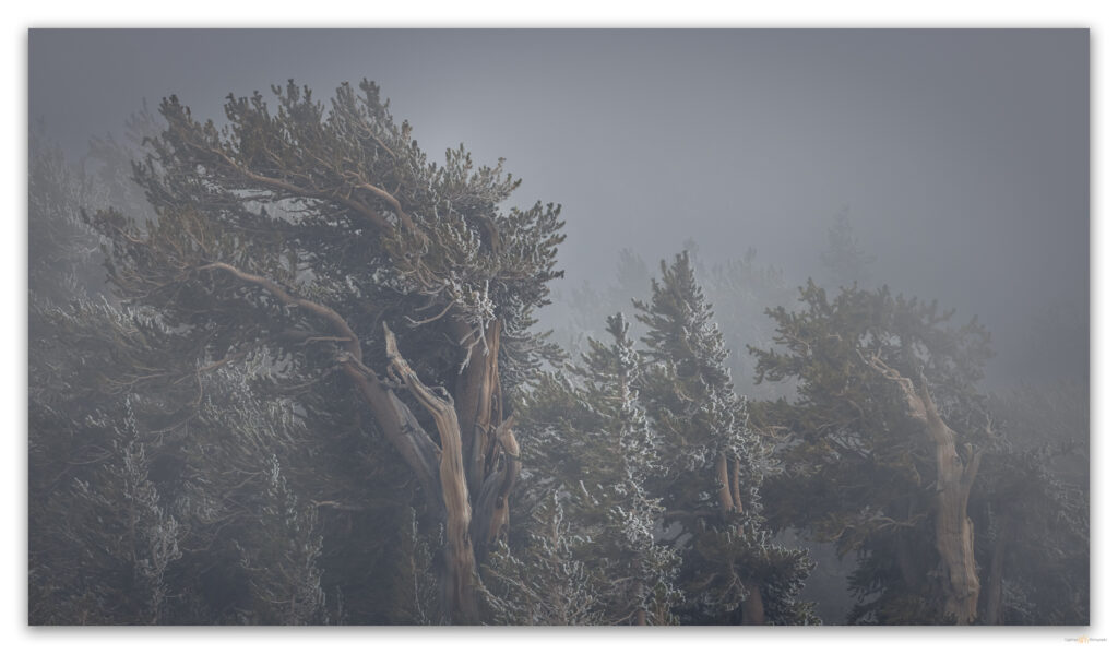
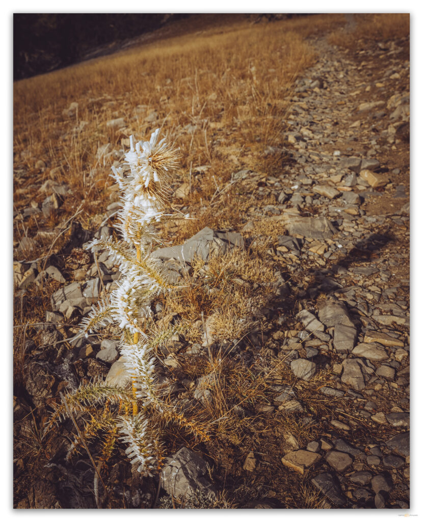
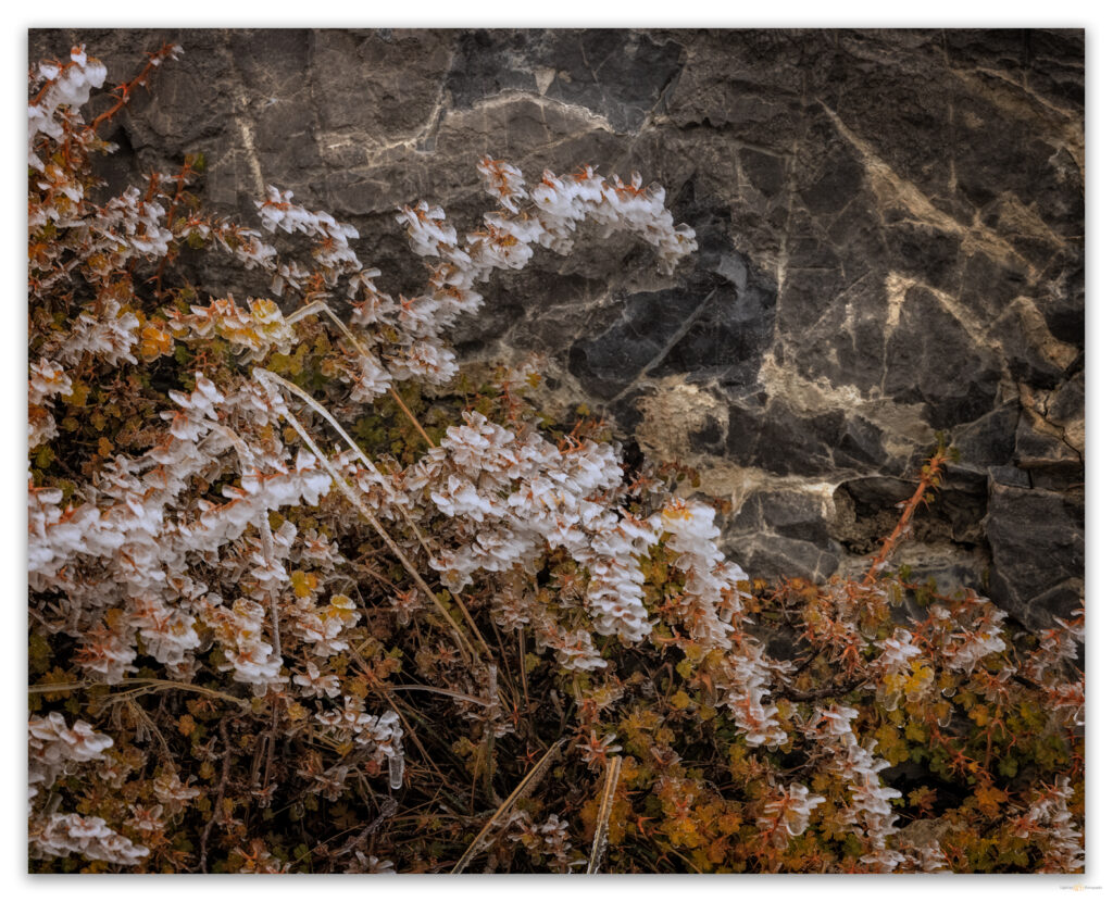
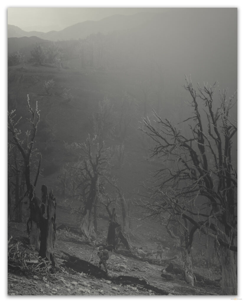
At the ridge, we begin to encounter rime ice, clinging as windvanes to leeward sides of tree branches and blades of grass – the wispy strands of ice reach several inches in length. Although calm now, it is obvious that yesterday (last night?) it was windy and cold, with just the right amount of moisture to form the wonderful crystals. The ethereal ice highlights the skeletal remains of once healthy pines consumed by the Carpenter 1 fire of 2013. We would walk in the fire scar for the first half of the summit ridge.
A small summit hiking team, all women from Los Angeles and, formerly, Costa Rica, catches us as we paused to relish the fog that swirls on the western wind churning along the ridge. At our meet-up, they ask if we are doing the North Loop on the descent and given that Darren and I had started a discussion about our descent route while switchbacking through the forest, I immediately confirmed that we would indeed be heading north after the summit. It would be a good, if quick, decision.
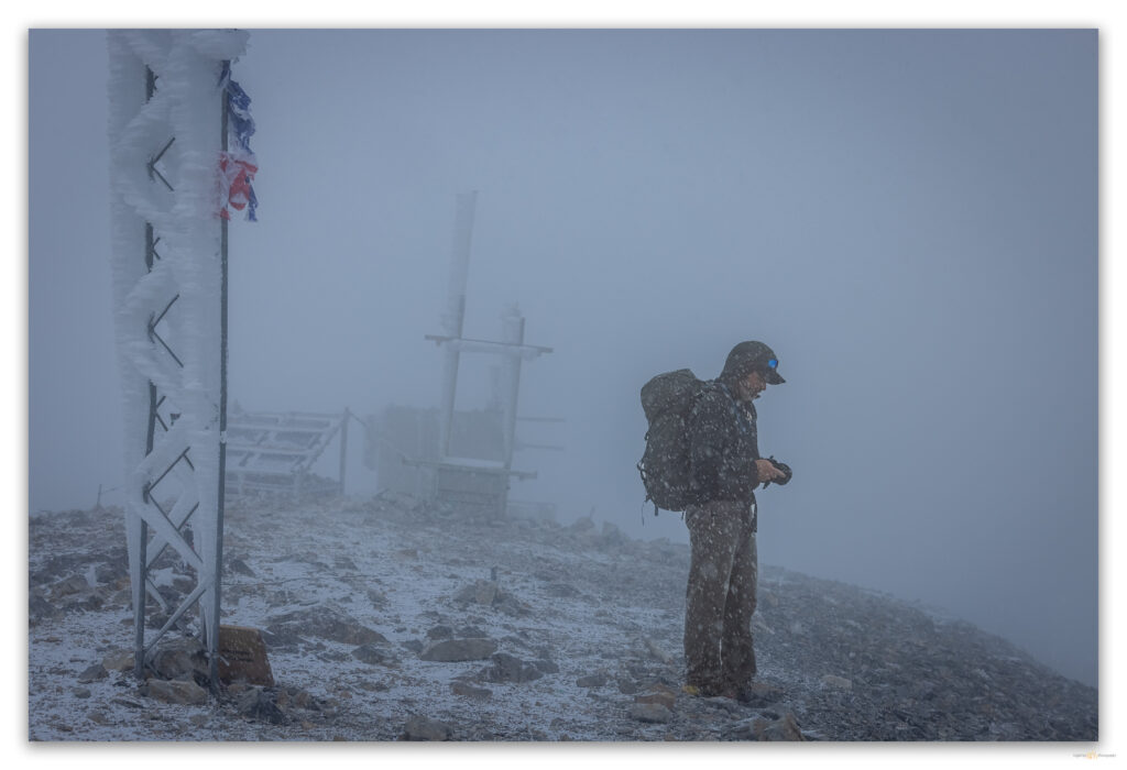
The fog became definitive cloud and pellety graupel pecked at our shirts and packs. The climbing kept us warm, but the moisture crept in. It was windy now too, but the trail guided us easily even as we needed to be strident in the building wind. We soon found, just below the summit, the wreck of the 1955 CIA plane. It is a few large fragments of the fuselage and landing gear (and certainly other bits) strewn among east-sloping talus. It seems that it only just missed clearing the ridge, but, flying east, it crashed into the western slope and tumbled terribly over the ridge. Apparently disoriented in a storm, the plane went down, and none survived their secret commute to Groom Lake (Area 51) deep in the Nevada desert.
We regain the trail, turning into the wind on the northwest slopes; it is snowing steadily and brashly now. Finally, the radio towers of the rounded summit came into view, but we were otherwise clouded-in – there was no view in any direction. Should we wait? Would it be a short time until a little clearing revealed a desert panorama far below? Who knows? One thing was sure; the wind chill was crisp, and the moisture of our climb made the cold cling to us, like the rime ice building on the summit towers. We donned our down jackets and set off into the wind-driven squall scouring the giant Z switchbacks on the peak’s eastern face. The Costa Rican party summited just behind us.
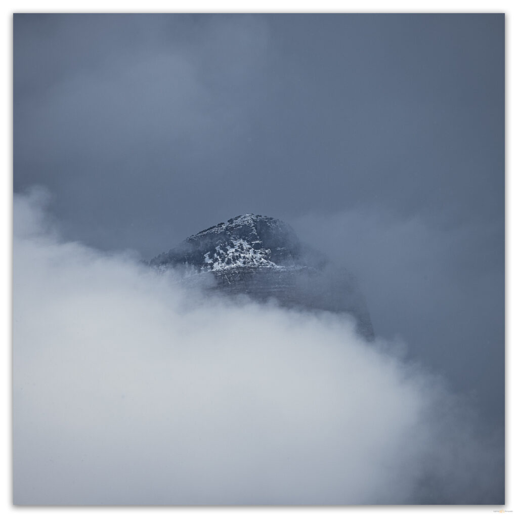
The North Loop has, just below the summit, a very different character than the South Loop. Its switchbacks are exposed, and filled with recent hard-packed snow, the narrow trail is almost serious, especially with the blowing snow and fog adding a bit of drama. I am immediately glad we came this way. There are stories in the ‘summit’ blog sites implying that the North Loop is not worth doing because it lacks interest. How wrong that is! After the few exposed switchbacks, we begin a long traverse, passing the Devils Thumb on our way to the upper reach of Trail Canyon. And we soon get exceptional views of the summit behind and just above us – yes, the summit is clear now. There are mountain views you simply do not get on the South Loop. The trail remains above 11,000 feet for several miles, skirting rock walls and pulpited hoodoos. I would not have wanted to miss this; if we can miss something that we do not know about.
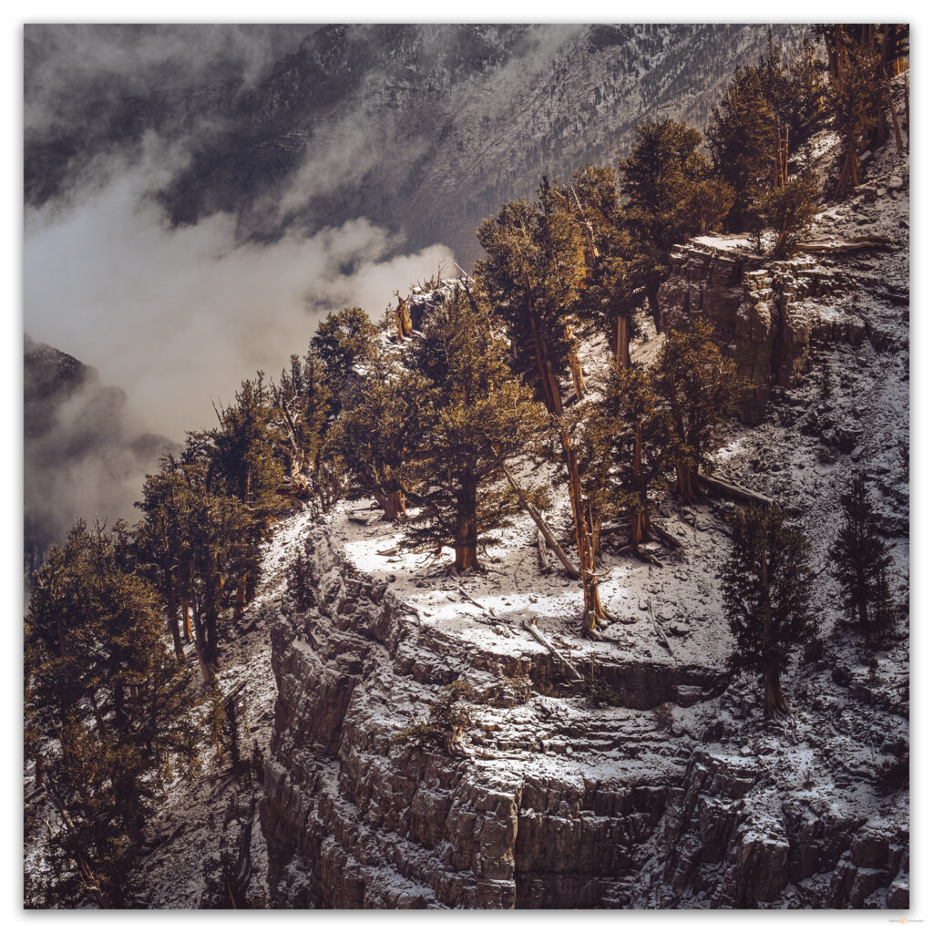
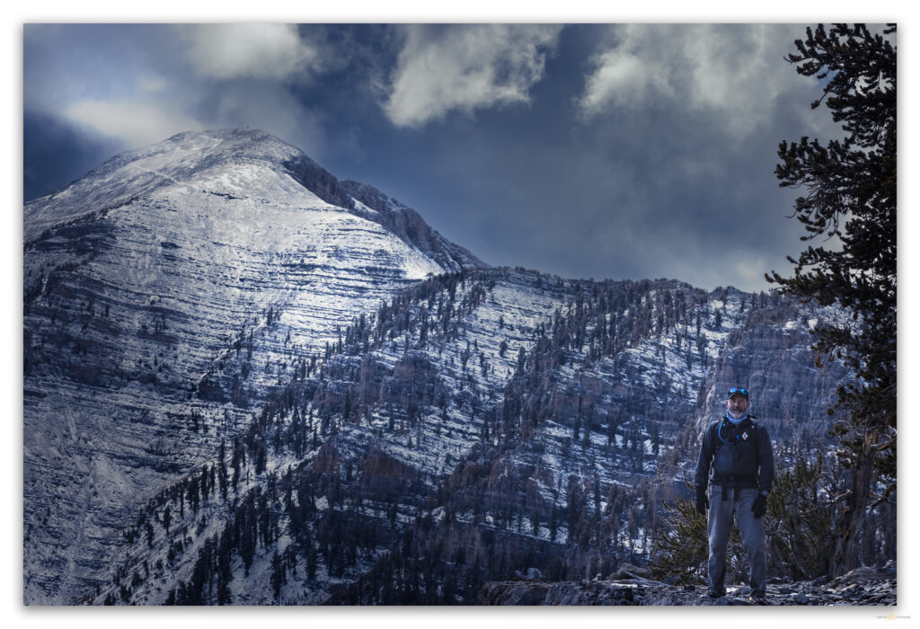
I was beginning to feel the long day as we approached Trail Canyon junction, almost 16 miles into our walk. Autumn colors peeking from the evergreen forest replaced the fog and snow show. The warm color in the raking light of the evening made the descent a pleasure. The Costa Ricans had joined us for most of the afternoon, and it was clear I was lagging more than these steady walkers. We talked of other peaks of late and climbs of the future.
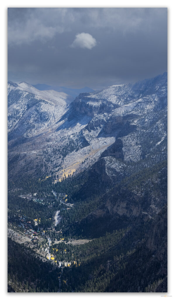
Pavement appeared abruptly at the wilderness boundary, the bottom of Trail Canyon. This meant that we had a road-walk for the last mile, but this was fine; it gave us time to review the day and bask in the true pleasure of unexpected alpine walking adventure. It might have been the best day I have had on a mountain – completely unexpected in such proximity to the desiccated oddity of Las Vegas.
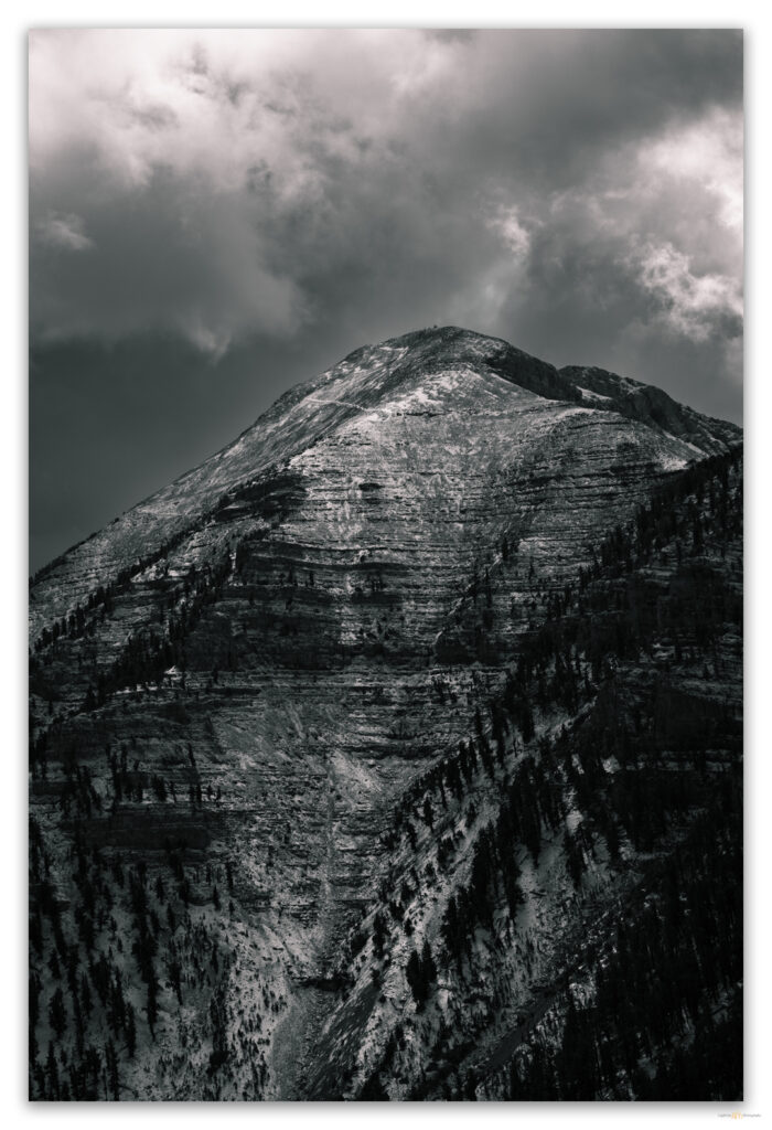
On the truck’s tailgate, we toasted our unique day on this great mountain tailgate, and then a couple from Connecticut, whom we had met as they headed south on the high switchbacks of the North Loop, came out of the forest below Cathedral Rock. They looked due for a finish and a rest, so we offered them a ride to the Trail Canyon parking area. I was happy to do this until they said they had had a clear summit after our warning of snow and windy fog. But that is how it goes, and, of course, this news failed to diminish our pleasure of a perfect day.
Even freeze-dried spaghetti tastes special after a day like this. Refueled and cherishing the echoes in our legs, we sat by the fire and marveled at our good fortune. Then slept very well.
Keep going.
Please respect the natural and cultural resources of our public lands.
Leave a Reply