• Skip to primary navigation
  • Skip to main content

Trail Option

A personal geography of landscape and place, art and geo-science.

  • Home
  • TrailOption Blog
  • WayPoints
  • Galleries
  • About
  • Contact TrailOption
  • Subscribe!
  • Show Search
Hide Search

landscape photography

Nevada High Points #113 – Whistler Mountain

D. Craig Young · December 27, 2023 · 1 Comment

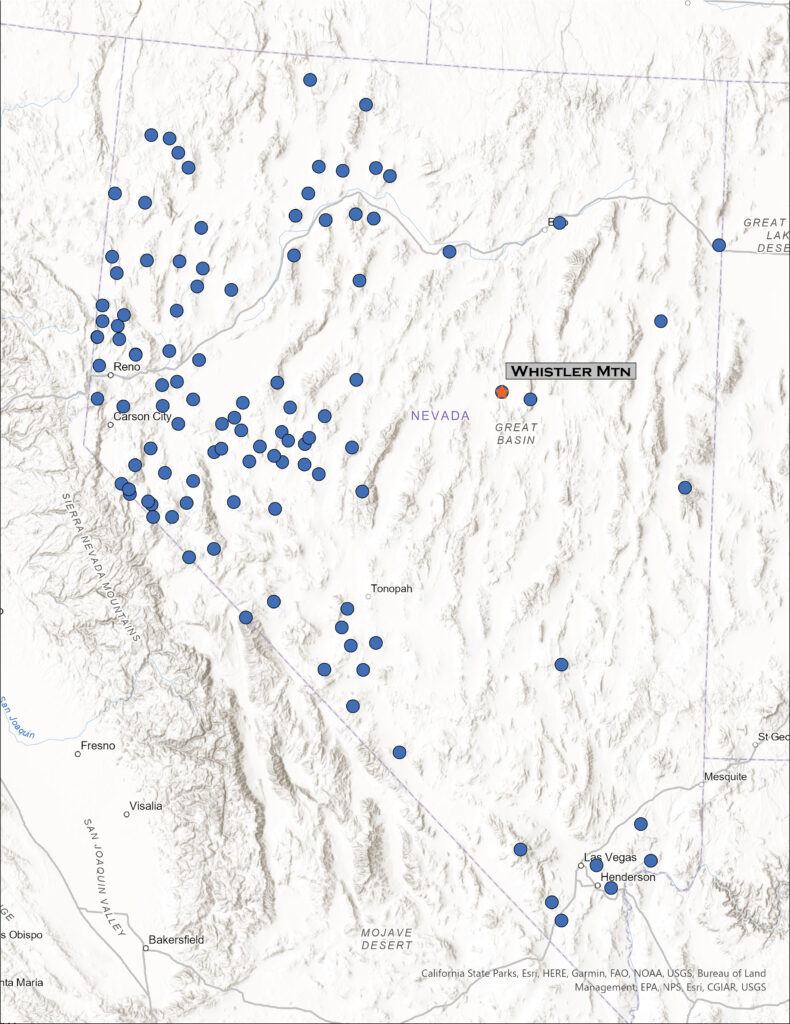
Map showing location of Whistler Mountain in Nevada

Whistler Mountain

8147 ft (2483 m) – 1522 ft gain

2023.06.07

Whistler Image Collection


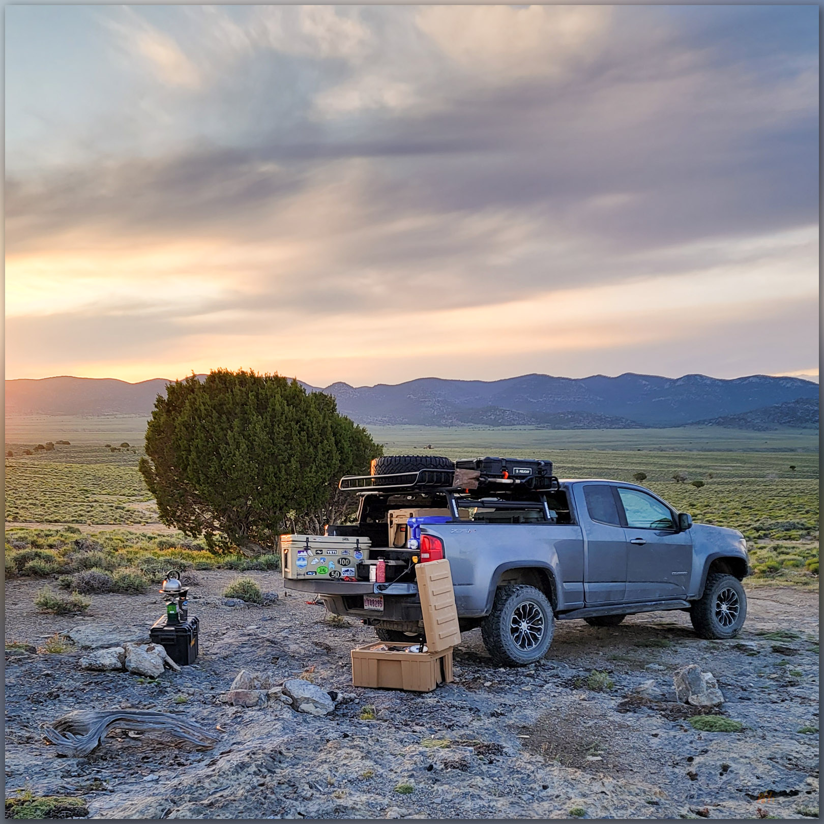
Camp morning. Sunrise in Antelope Valley, Great Basin Desert, NV, USA
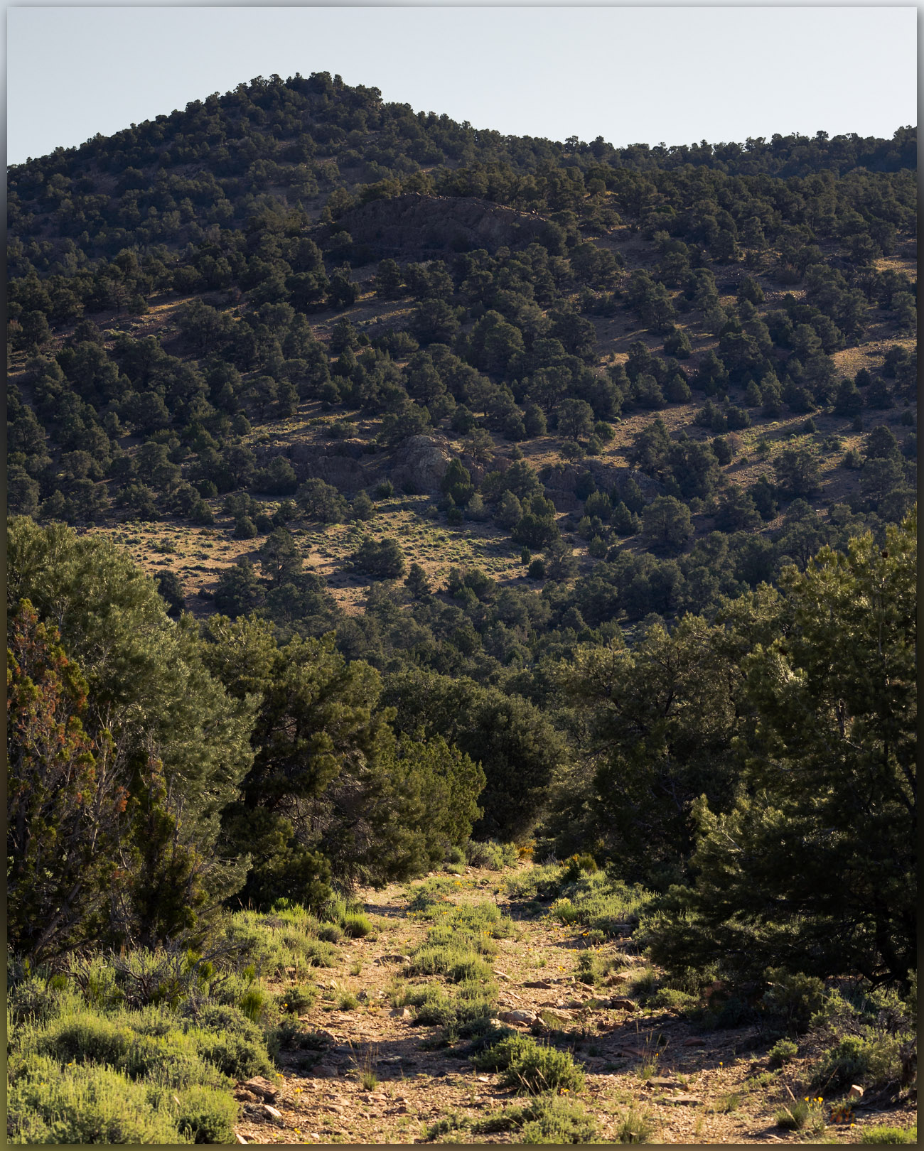
Whistler walk. Into the pinyon-juniper woodland of Whistler Mountain, Great Basin Desert, NV, USA (#1 on Map)

I have been on a mapping excursion, developing an archaeological sensitivity model on a cross-section of Nevada, basically paralleling Highway 50. Setting camps along the way, it sometimes puts me in proximity to high points on my target list, and today I am up early for a walk up Whistler Mountain, a small mountain range rising between Diamond Valley and Kobeh Valley in central Nevada. West of Devils Cut, a prominent cut in ancient seabeds rising in gray stripes of limestone, I turn across Slough Creek to traverse along the base of relict fan lobes before turning eastward and upward on a two-track road leading into a relatively dense pinyon-juniper woodland. The relict fans transition from dissected alluvial lobes to erosional surfaces that bevel limestone rocks – the same rocks tilting skyward at Devils Gate. The limestone, however, is not evident on the pediment landforms which are capped by a veneer of alluvium, which I can only map generally as a local Qa1. I will not see any landforms of more recent age once I begin my hike, so given that my typical focus is on landforms of recent age (<25,000 years ago), my map for Whistler is not very informative.
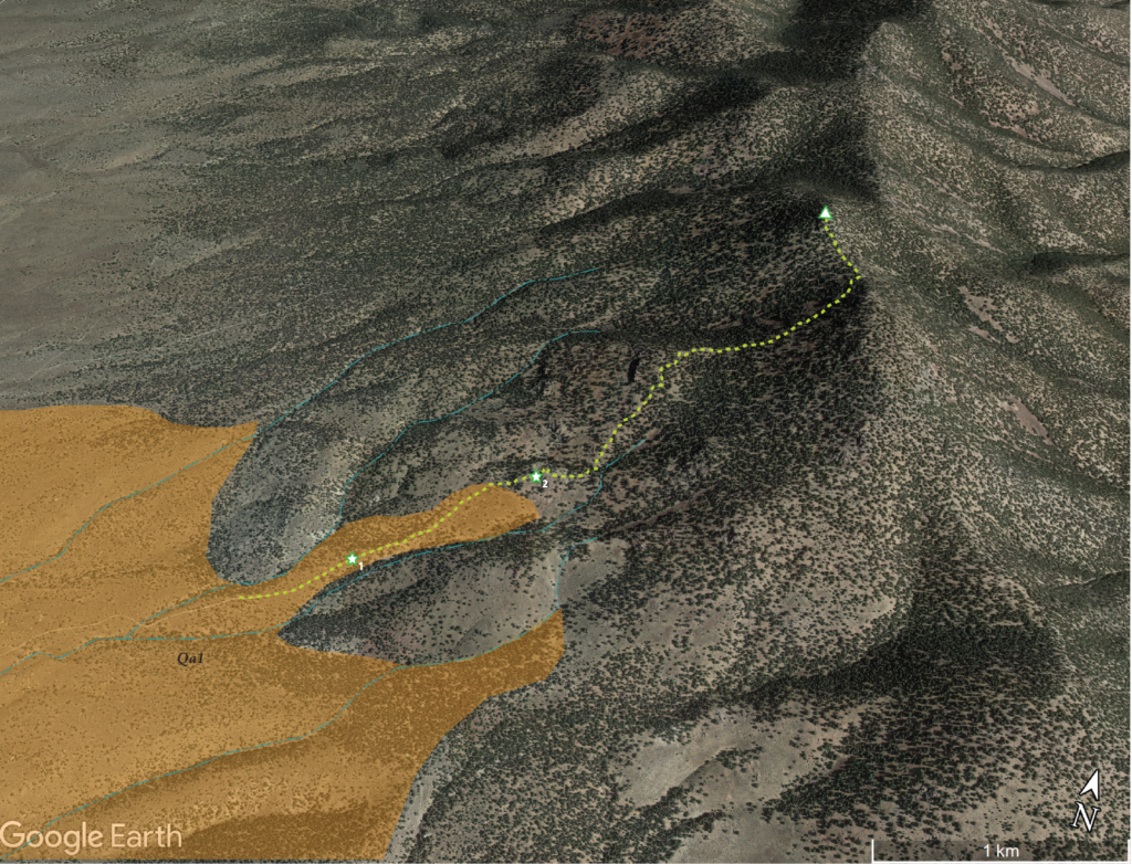
While mountain hillslopes are generally not the place to be looking for recent processes of scale, beyond landslides and occasional glacial features, the conveyor belt of water and wind begins in the rocky outcrops of steep country. The sediment of the valleys and their margins begins somewhere. And, it is a nice morning for a woodland walk all the same.
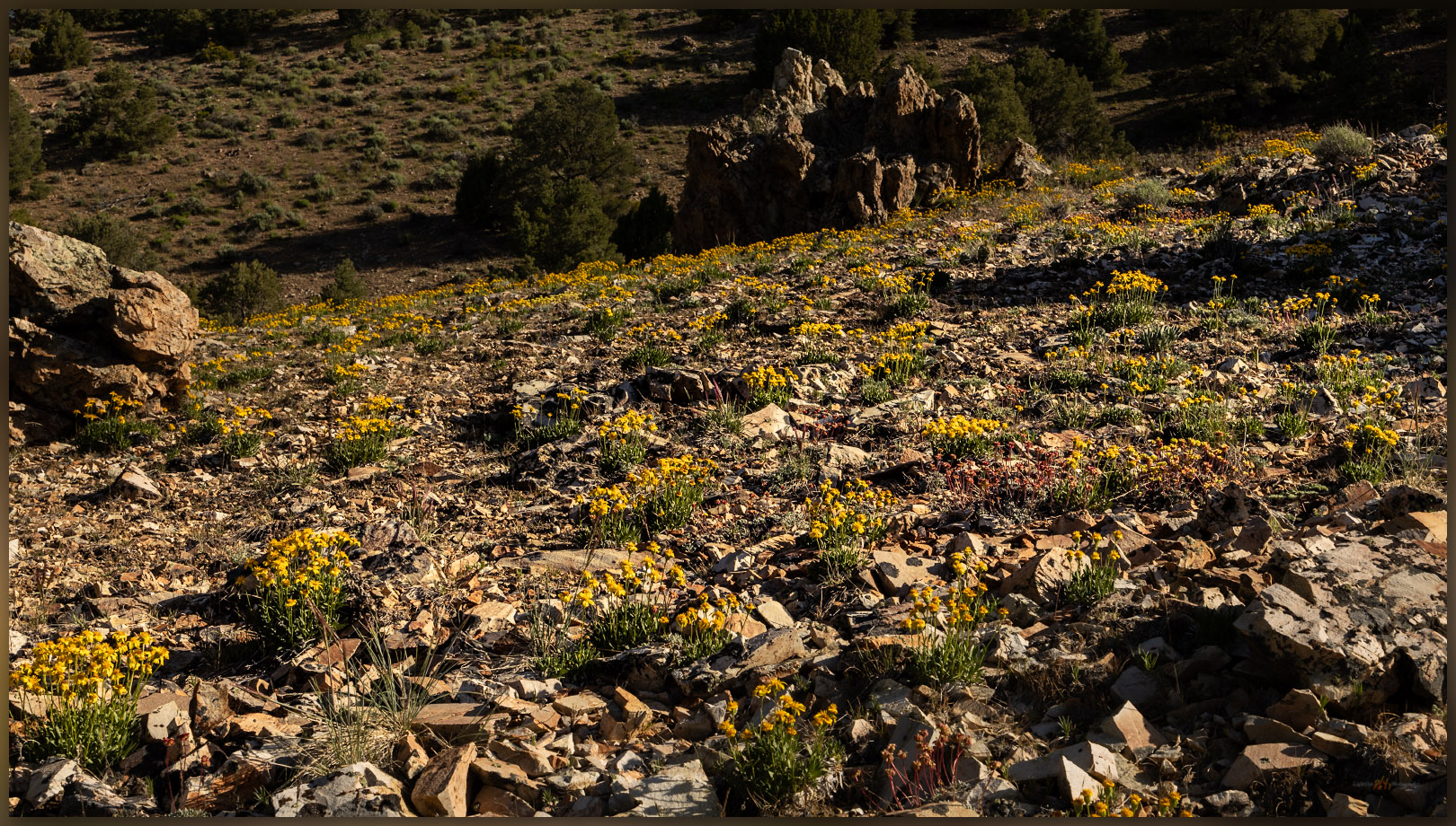
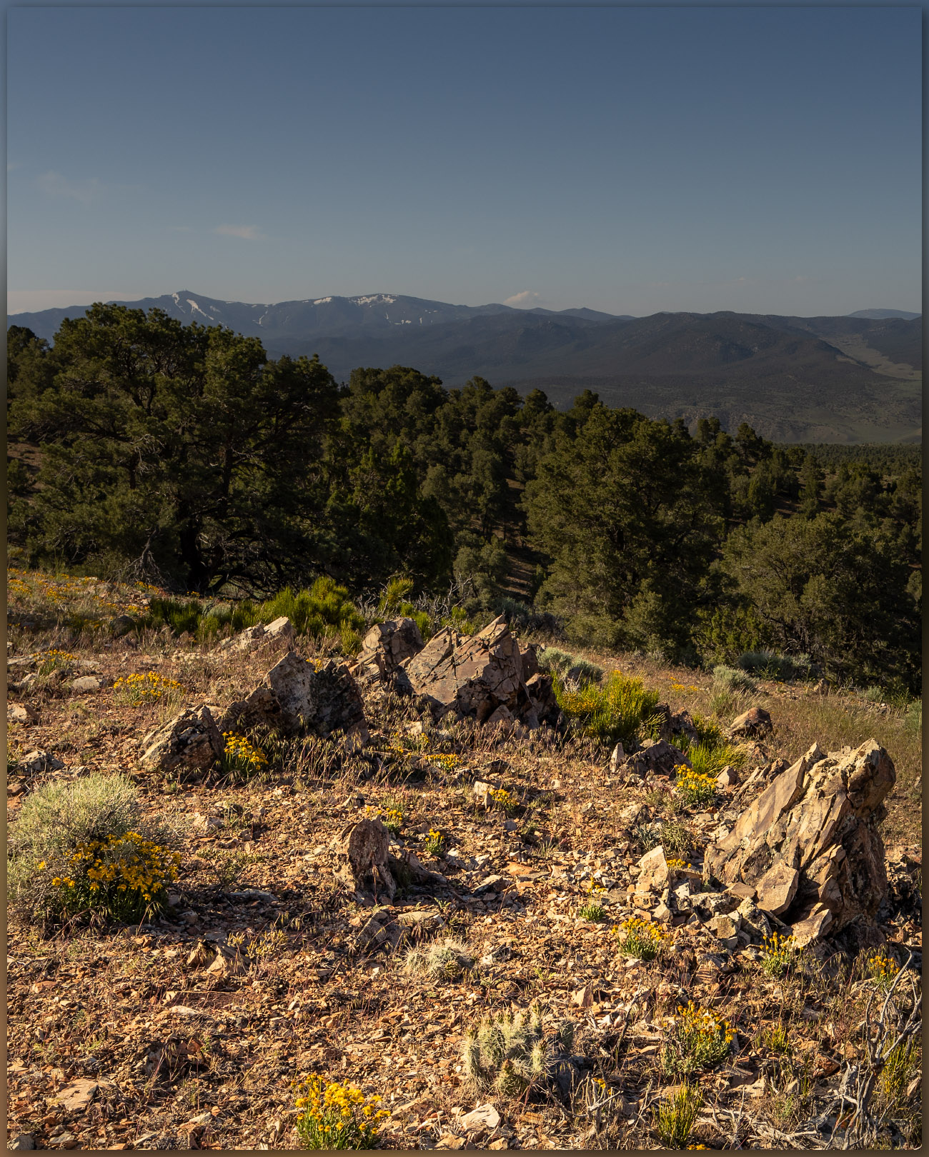
Bloom continues. Wild flowers on the approach to Whistler Mountain, Great Basin Desert, NV, USA
Flowers to woodland. Spring flowers in the outcrop spaces of Whistler Mountain, Great Basin Desert, NV, USA (#2 on map)

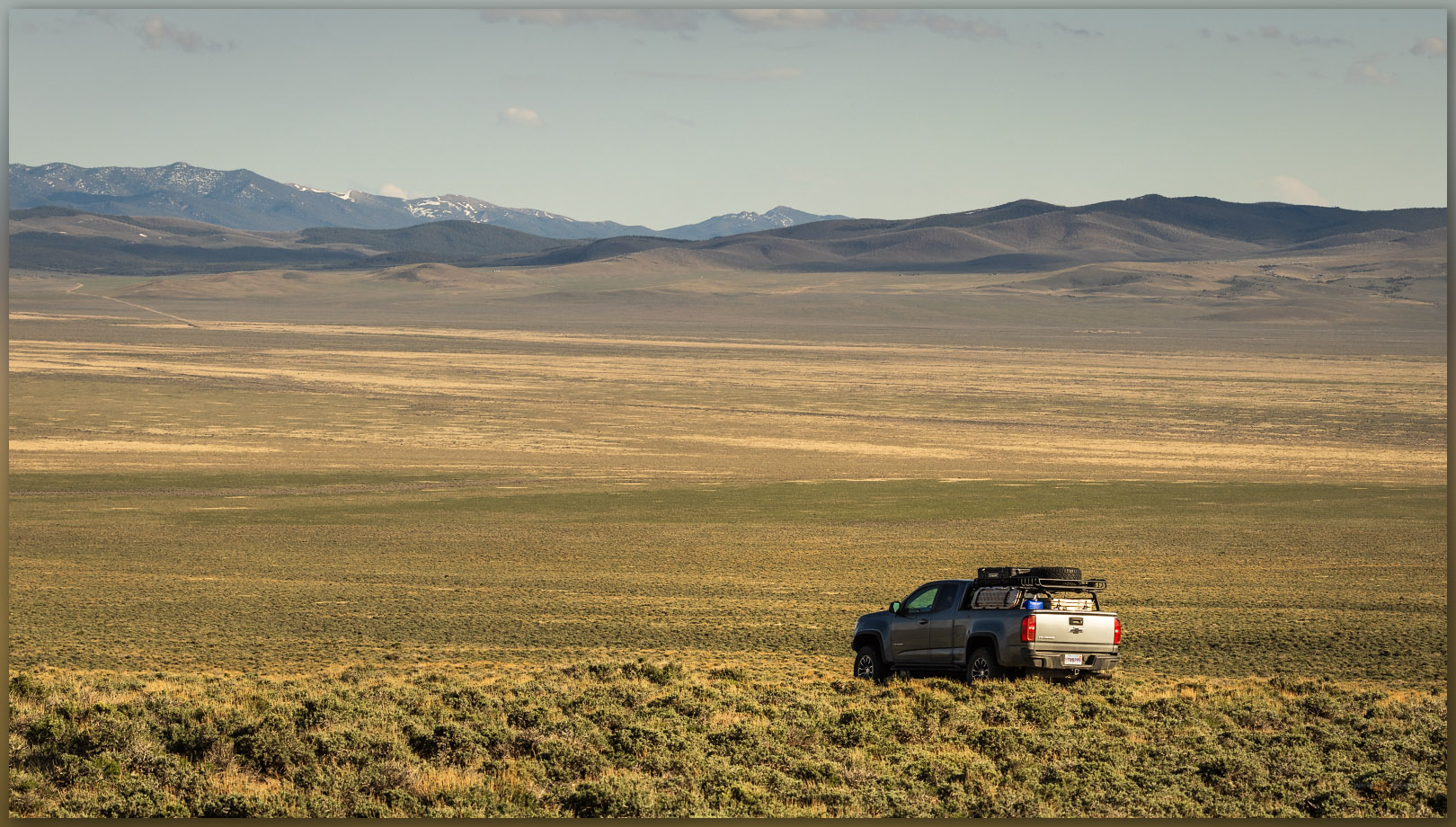
I leave the truck soon after the woodland thickens to close in on the two-track, probably once an access for wood-cutting to support charcoal production necessary in the mining areas around the town of Eureka, Nevada. Walking steadily upward, I am soon among cliffs of intrusive rocks, similar to granite, that moved through the older limestone rocks and now form the bulk of Whistler Mountain. Any eruptive lava (extrusive rocks) that the intrusive rocks may have once fed toward the surface of any ancient volcanic landscape have been long eroded away. I notice, however, among the wildflowers still thriving in our mesic, extended spring, small scale surface features that contribute, ever slowly, to the conveyor belt of sediment that builds the dynamic landforms of the valley bottom. It’s the little things.

Windloads of dust settling on mountain sides across the Great Basin, forming the dusty sediments where stir up on just about any walk or ride. While these often settle into the shallow soil column, they swell when saturated by winter snowmelt and occasionally begin a viscous flow when the combination of water and slope is just right. These little water-logged landslides begin the transport of sediment, carrying larger rocks along with them, moving a meter a year, here and there, to begin the redistribution of material basinward. The small features mimic larger slides where sediment transport is sudden and, often, catastrophic. This is a pattern – the small mimicking the large – that often helps us understand the geomorphology of vast landscapes formed over long periods of time. I love this stuff.
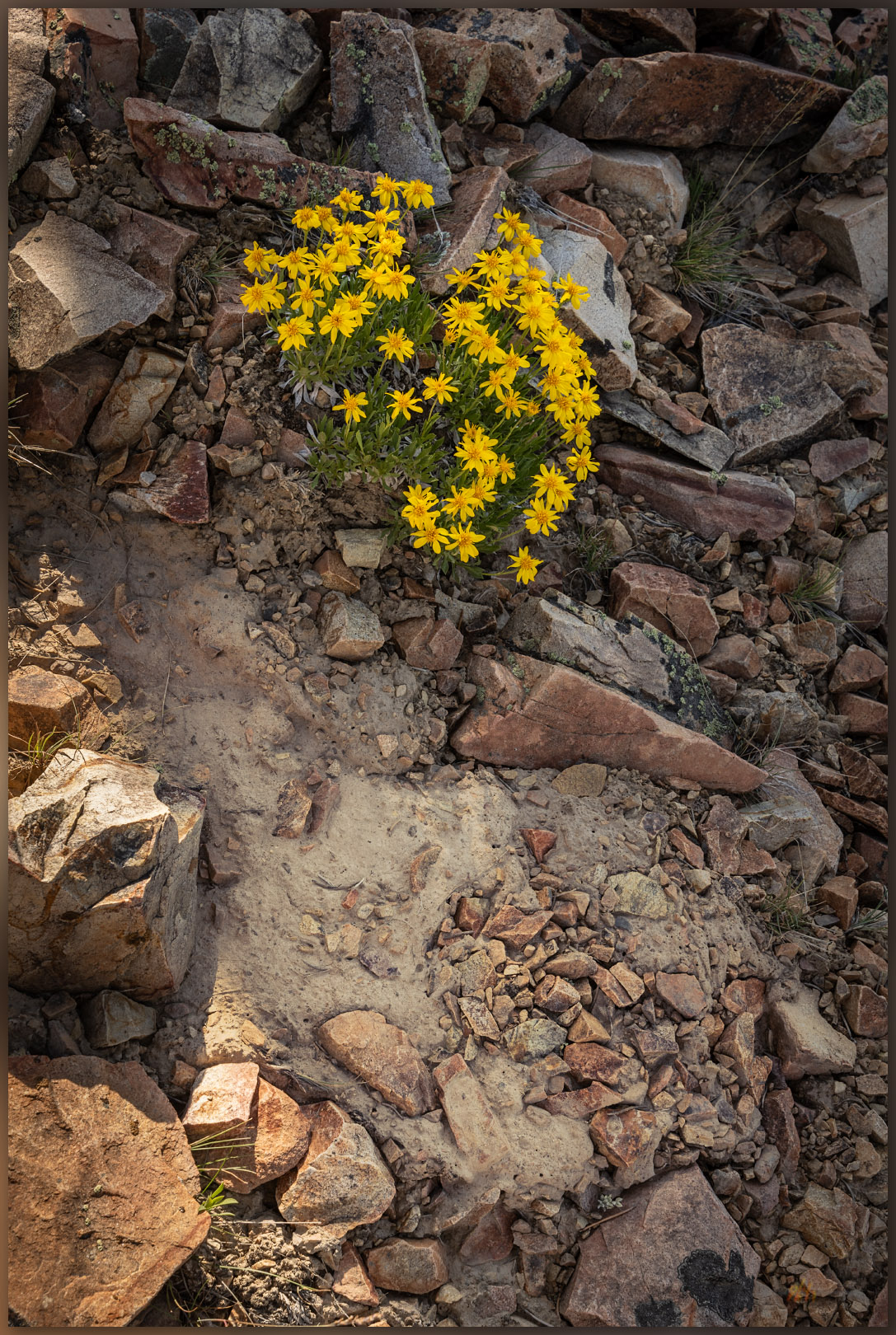
Movement. Slow alteration of the hillslopes evident in sediment creep, Whistler Mountain, Great Basin Desert, NV, USA (#2 on map)

It does not take long to reach the ridgeline as I climb among talus and outcrops, enjoying the views of Kobeh Valley and the dolomite and limestone in the bright white of Lone Mountain to the west. I turn north toward a steeper slope that leads to a large summit ring, where some tumbledown lathe and wire marks an old survey marker. I cannot find a summit register, but there is a strange spiral-bound journal with seemingly endless hand-written lines petitioning Zelda – the video game character (I googled it) – for an endless stream of interventions and aid. It is beyond me, but maybe not the most surprising thing I have come across in a stone cairn in the backcountry.
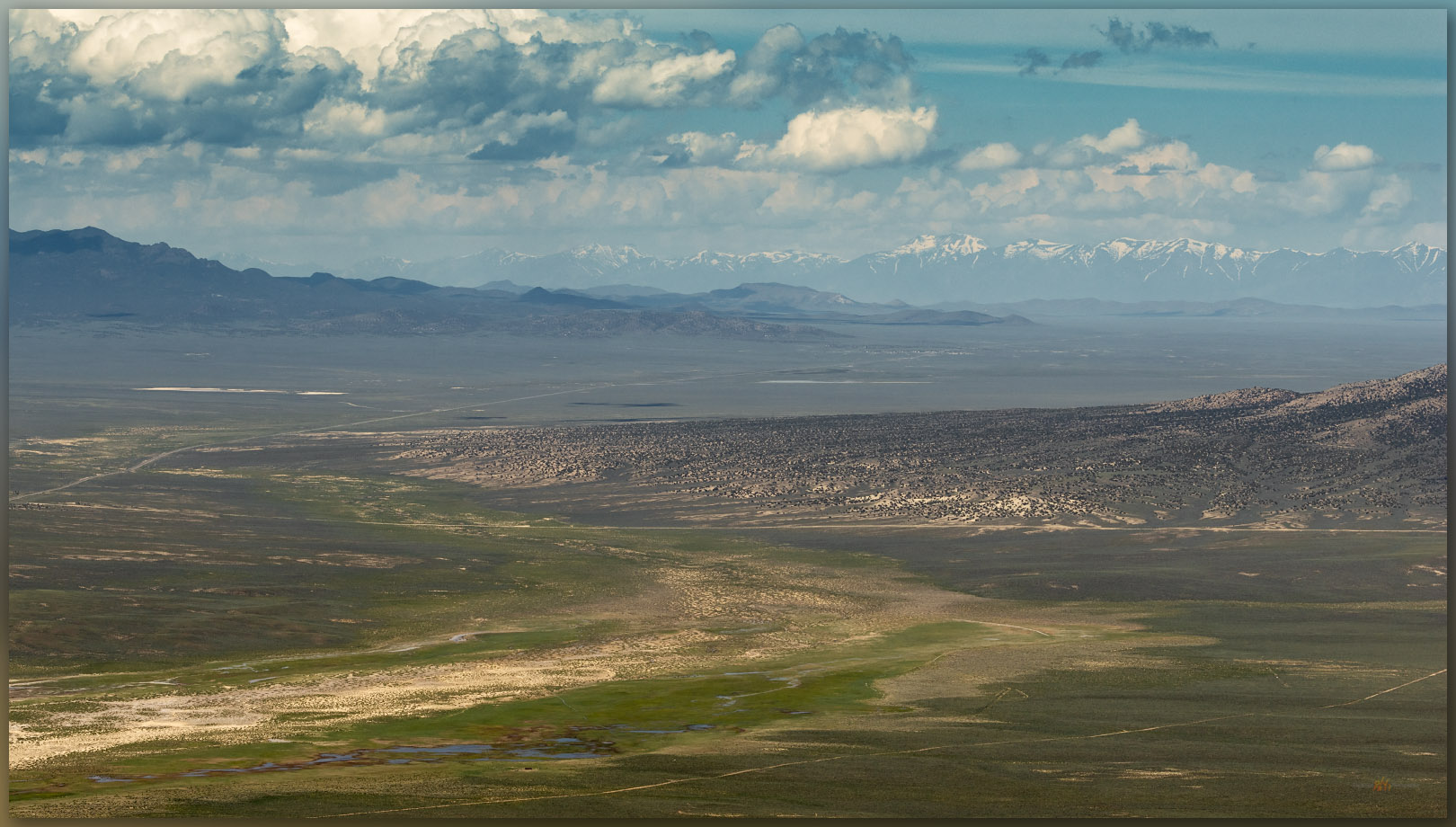
The Kobeh open. Kobeh Valley stretches westward below the summit of Whistler Mountain, Great Basin Desert, NV, USA

The morning is warming nicely, and I have a lot of ground to cover today, back among the dynamic landforms of the valley bottom. I come across a series of relict charcoal platforms on my way down; evidence of why there are several ironically overgrown roads and trails, along with sawn stumps, cutting through the now-rejuvenated woodland. If this anything like the woodlands around the mining towns of Virgina City and Silver City, the mountains were bare by the close of the 19th century due to the need of charcoal for ore processing and daily life. It is also why the woodlands of today are of a generally uniform age after the hard work of pinyon jays and their peers through the intervening 120 years.

Whistler Image Collection

A jackrabbit bounds away from the shade of my truck as I return. I end another short hike to a small mountain in a somewhat obscure group of hills that culminate in Whistler Mountain. It is good to explore the small and the large, where patterns are repeated and new things found as we explore the high points and get into the lesser known reaches of Nevada’s Great Basin Desert.
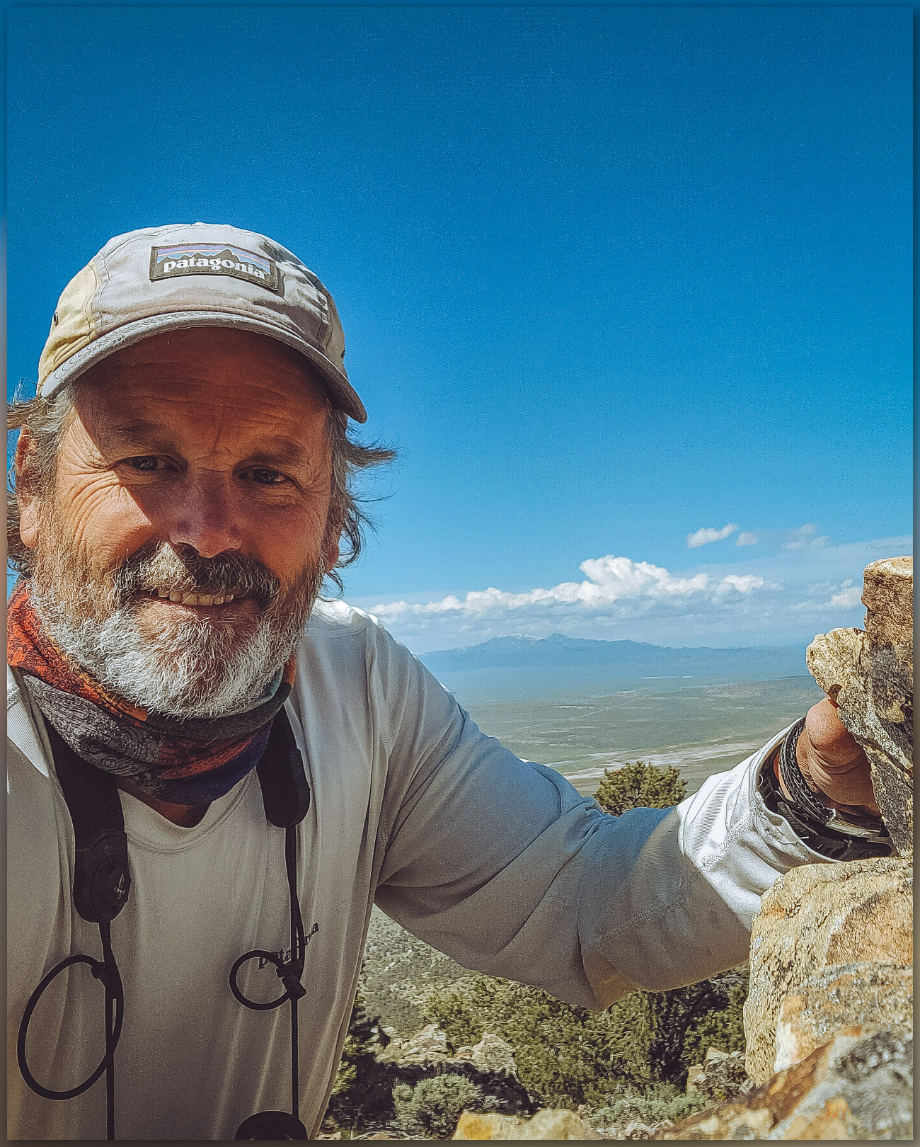
High point. Always nice to visit another high point, only a couple hundred to go. Whistler Mountain, Great Basin Desert, NV, USA

Keep going.

Nevada High Points #112 – Currie Hills

D. Craig Young · November 25, 2023 · Leave a Comment

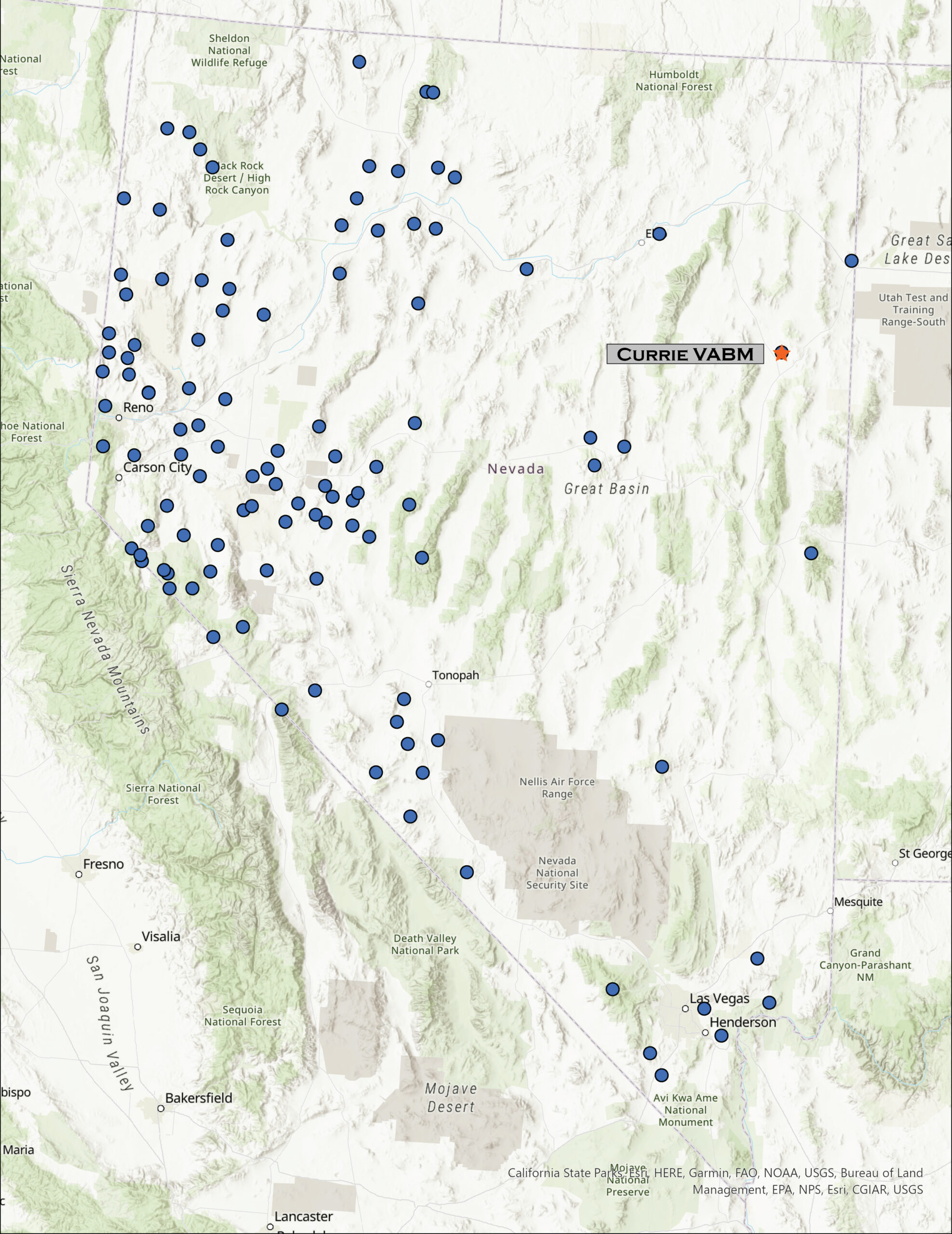
Map showing Currie Hills high point location

Currie VABM

7290 ft (2222 m) – 1480 ft gain

2023.05.13

Currie Hills Image Collection


I was on my way to the University of Utah in Salt Lake City, Utah, to join a couple colleagues for fieldwork across the Bonneville Basin, choosing a traverse of Hwy 50 as my preferred and typical route. With days getting to summertime length, however, I had time for a diversion. The Currie Hills rise easily about halfway on a south-to-north line between Ely, Nevada, and Wendover, Utah; I was due for a high point.

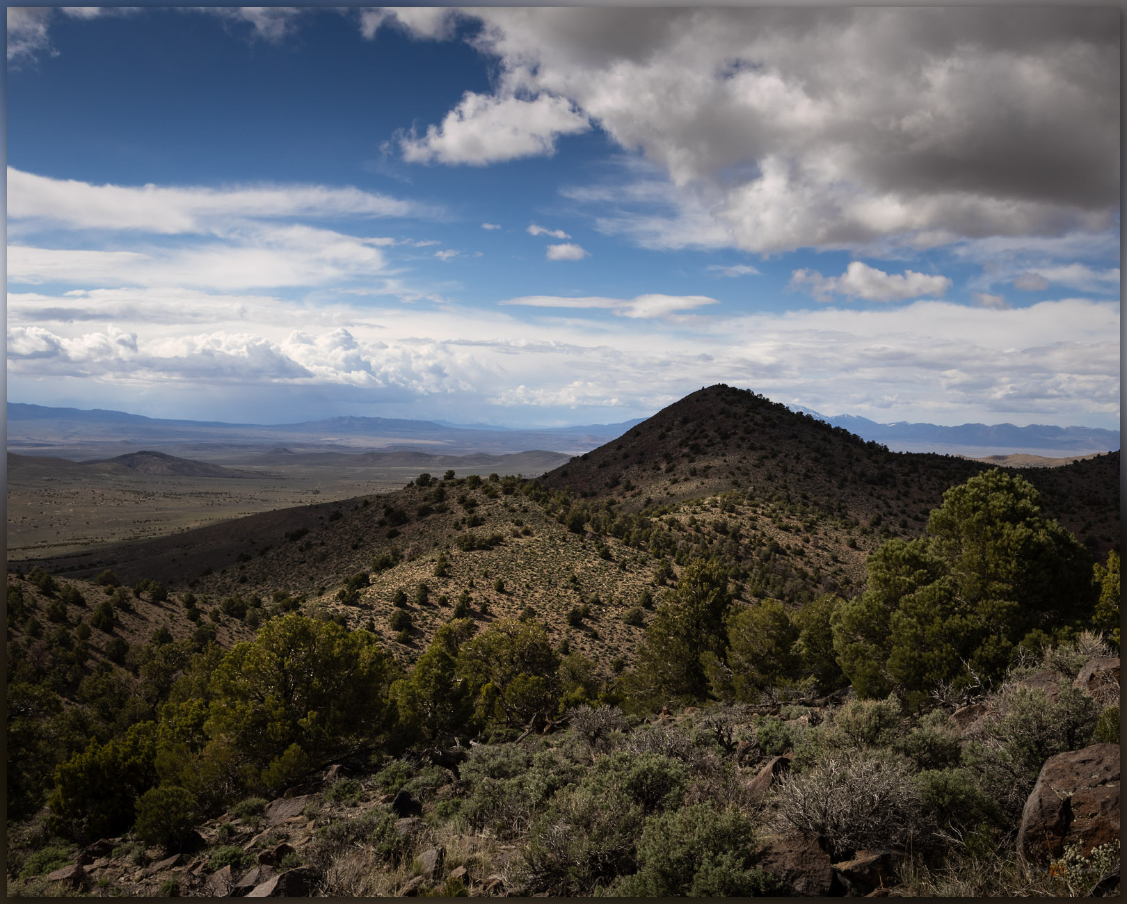
The high point. ‘Currie VABM’ rises in the distance, Currie Hills, Great Basin Desert, NV, USA
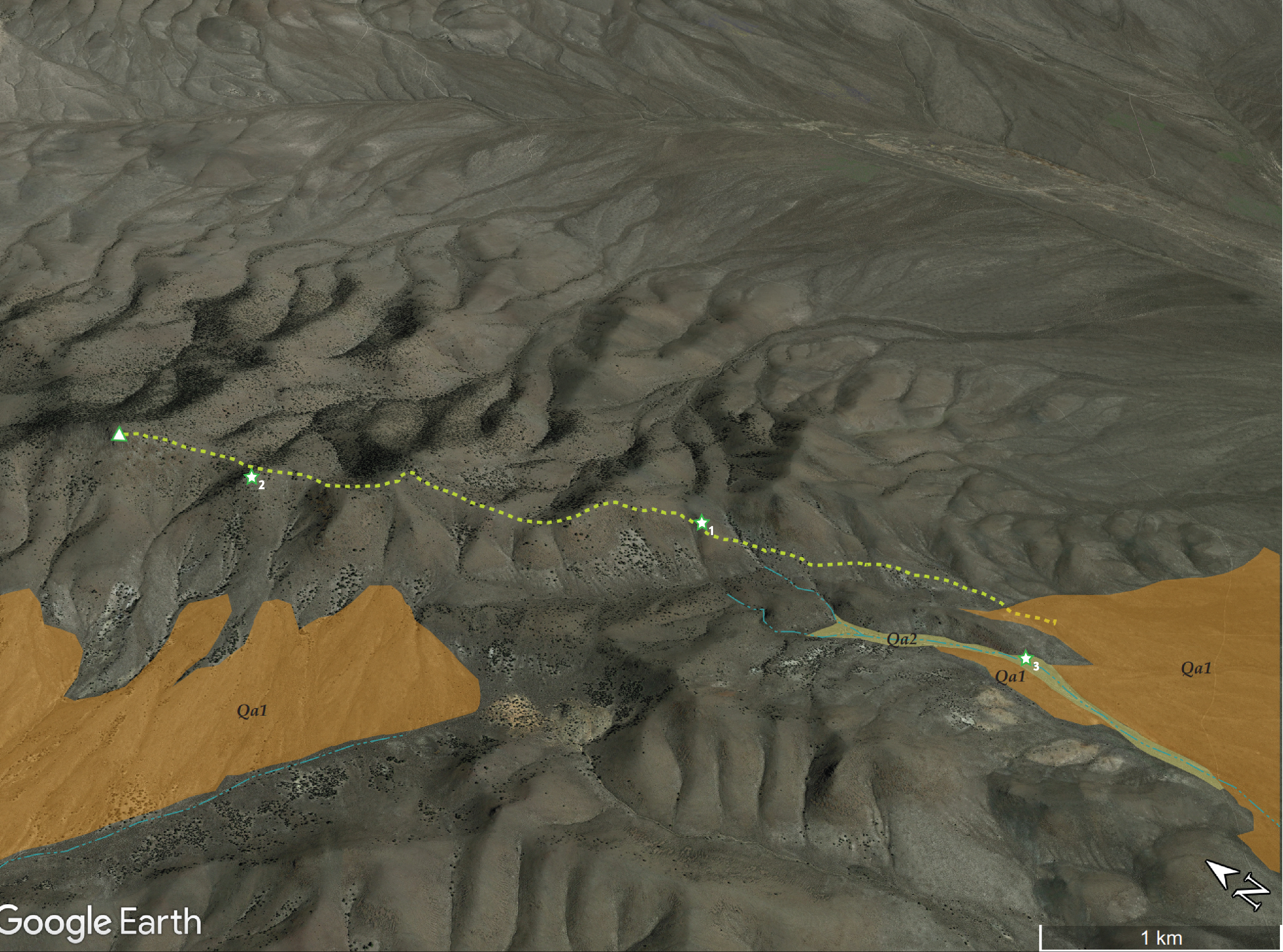
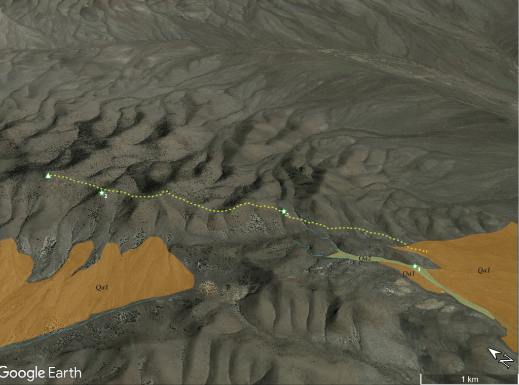
Quaternary geology map on my trail to the high point of the Currie Hills, Nevada, USA

A tight, barbed-wire gate, immediately adjacent to the White Pine-Elko county line, marked a good two-track road heading across a northern embayment of Steptoe Valley, the Currie Hills a few miles distant. I explored a few turns and detours before parking on a broad fan opening from the southeastern front of the hills.

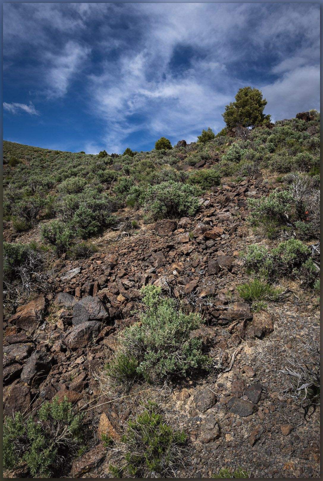
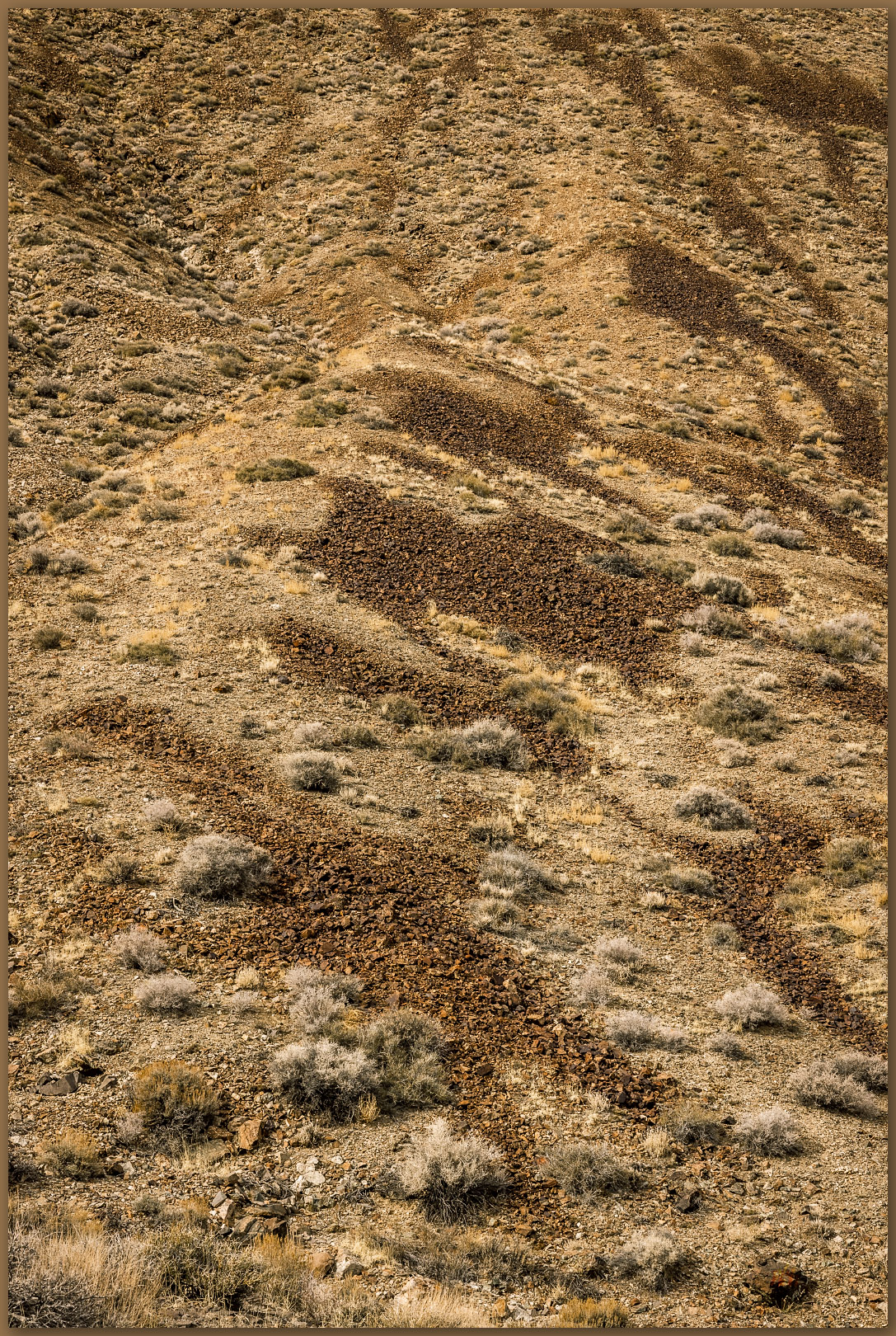
Blurred stripe. Gravity works on the volocanic rocks to form stripes on local slopes, Currie Hills, Great Basin Desert, NV, USA (#1 on map).

The Currie Hills are low, rounded hills whose eastern side is volcanic rocks overlying red-hued sedimentary rocks, generally old fans (Qa1) extend from mountain-front with small inset drainages (Qa2) leading to dusty distal fans several mile downslope, where loessic alluvium chokes the low-lying axial drainages leading to Goshute Lake in the Steptoe Basin. I traverse moderately angled slopes, transitioning from volcanic colluvium to weathered tuffs and back to steep colluvium rolling from the summits. There is a nice pinyon-juniper woodland, though some of the pinyons are suffering from drought and reduced ability to fight off beetle attacks, but others a healthy and productive.

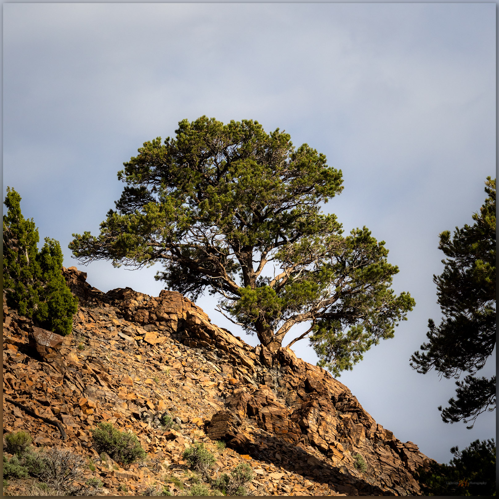
Pinyon tall. A lovely single-leaf pinyon in the Currie Hills, Great Basin Desert, NV, USA (#2 on map).
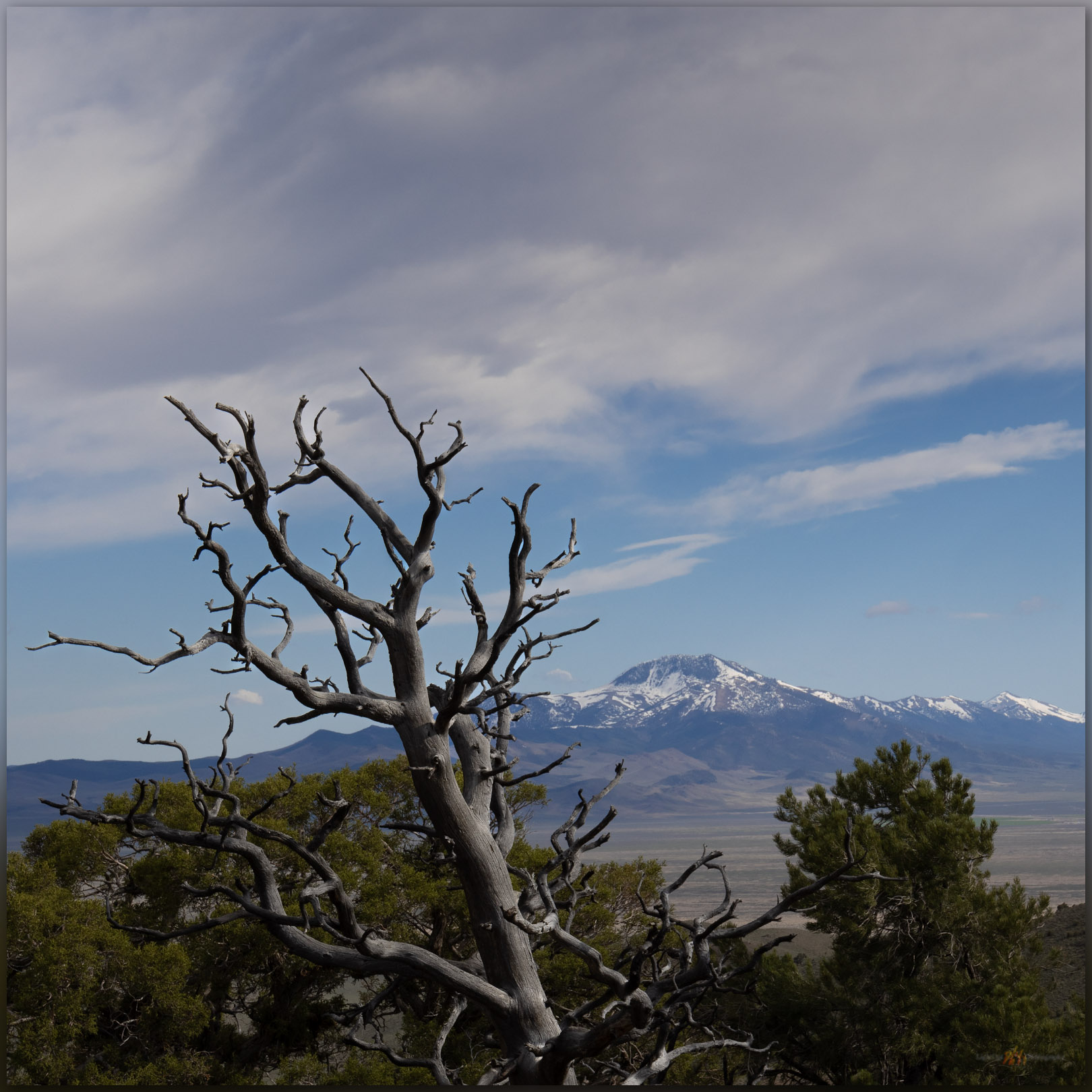
Distance. A pinyon snag looks out on Baldy Peak in the Antelope Range from the Currie Hills, Great Basin Desert, NV, USA (#2 on map).
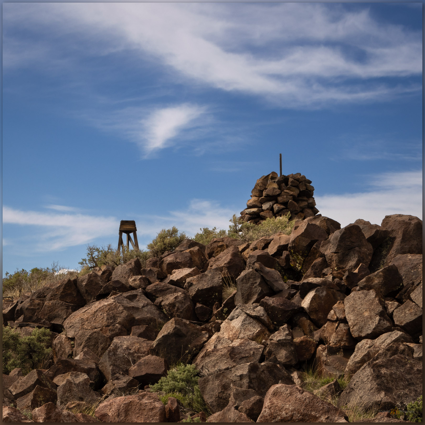
Summit cairn. A historic-era survey marker stands on the summit of the Currie Hills, Great Basin Desert, NV, USA

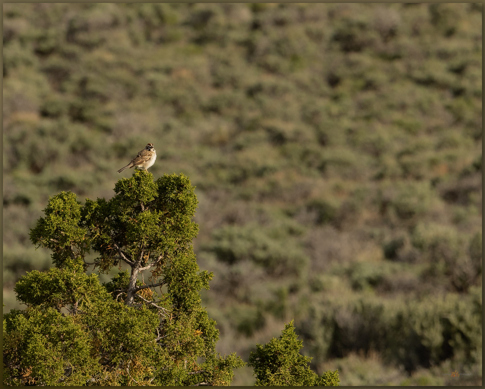
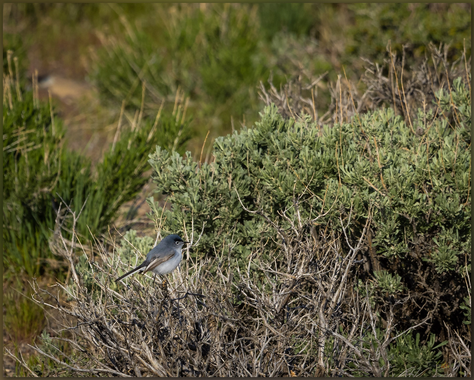
I find one false summit that points me toward another swale from which I can see the summit cairn prominent at the high point. What was once a blustery day dotted with fast-moving squalls has opened up nicely. I follow a similar path downward, shifting slightly to wander through some of the younger alluvium where the sagebrush grows deeper. Here I find a Lark Sparrow and then a Gray Gnatcatcher. The former watches proudly from a juniper while the latter flits in the brush, basically ignoring me. I am soon back at the truck for the dusty drive out. I drive into the evening to eventually reach Salt Lake City.

Lark Sparrow. A colorful Lark Sparrow watches me pass on the lower slopes of the Currie Hills, Great Basin Desert, NV, USA (#3 on map).
Gray Gnatcatcher. Flitting low in the sagebrush, a Gray Gnatcatcher pauses momentarily. Currie Hills, Great Basin Desert, NV, USA (#3 on map).

Currie Hills Image Collection

These small, unobtrusive ranges do not call out from the highway; their summits low, rounded, and often draped in woodland or sage. Yet, the walks never cease to bring pleasure along with unique sights and just a bit more experience traversing the variety of landforms that comprise the Great Basin landscape. I was also rewarded with ab addition to my ‘life list’; the Gnatcatcher was a new one to me. Once again, a small mountain range provides a wonderful quick diversion from a long day’s drive.

Keep going.
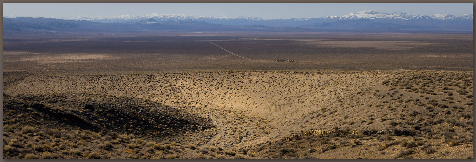
On the summit of the Currie Hills, Great Basin Desert, NV, USA
Into the valley. The start and end point of my recce in the Currie Hills, Great Basin Desert, NV, USA

Please respect the natural and cultural resources of our public lands.

#naturefirst #keepgoing

Nevada High Points #111 – Pahsupp Mountains

D. Craig Young · November 19, 2023 · 5 Comments

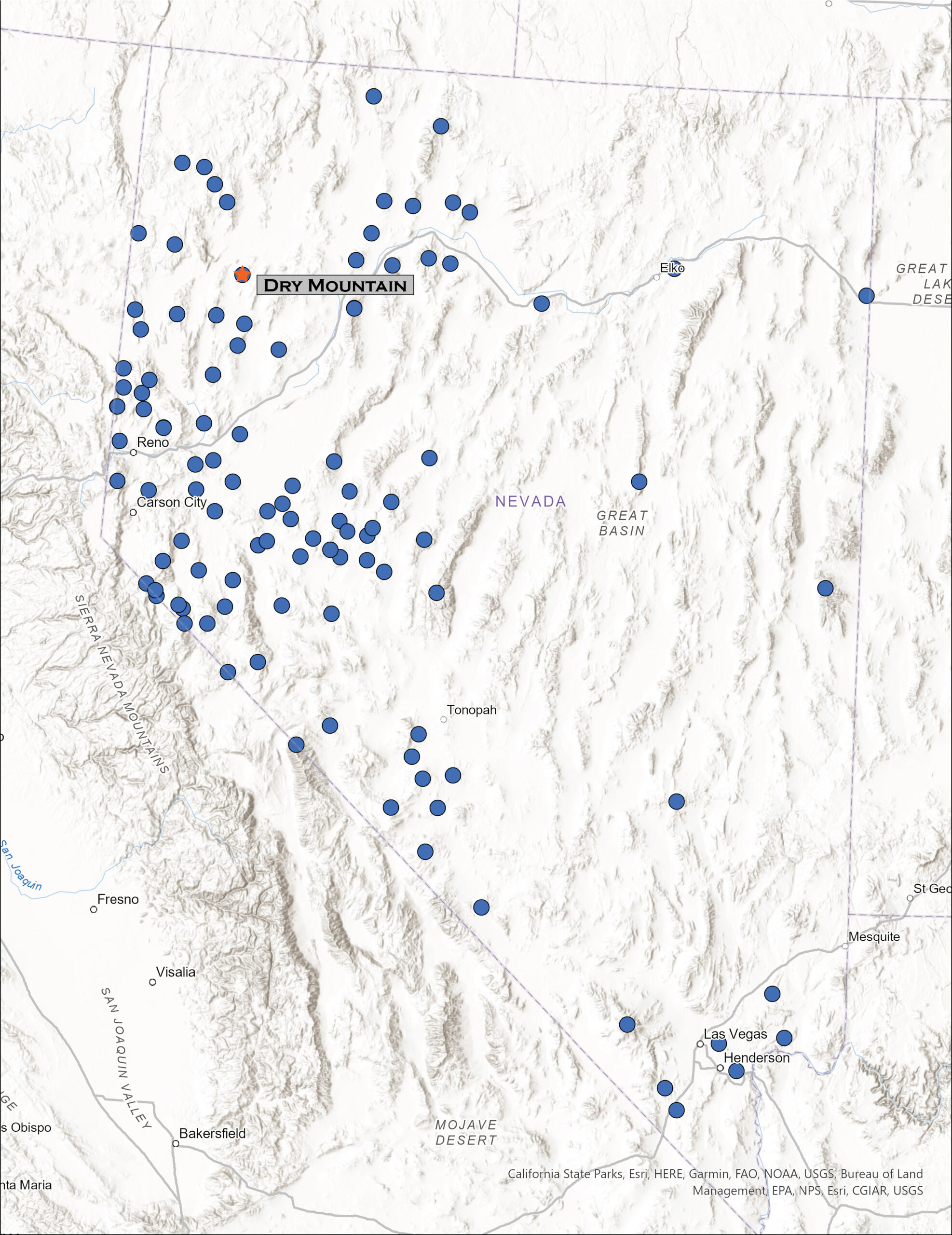
Dry Mountain. A good walk in the Black Rock Desert of western Nevada, USA

Dry Mountain

6526 ft (1989 m) — 2800 ft gain

2023.04.16

Pahsupp Collection


It took me awhile to escape Fallon, Nevada, where I attended a conference hosted by the Nevada Archaeological Association, congratulating a colleague on receiving the Silver Trowel, recognition of a career devoted to archaeology in Nevada. From the confines of the meeting rooms, I retreated, none too soon, to the splendid loneliness of a nighttime highway into the Black Rock Desert. I drove for maybe two hours.

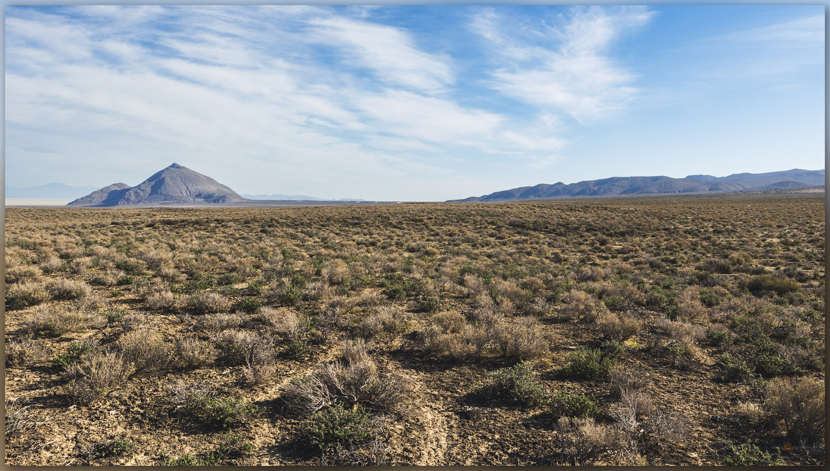
At the ‘high road’, our colloquial name for the washboard dirt highway connecting, sort of, Gerlach and Winnemucca, I traverse the southern margin of the Black Rock playa in the dark. I am headed toward the Pahsupp Mountains, where a prominent block rises above Trego Hot Springs at the playa margin, but the range’s high point is stretched out to the south as Dry Mountain (6,526’). As I turn away from the playa, the usual landmarks having long faded into the night, my view is confined to flashy, narrow strips of rabbitbrush bright at the dusty road margins. A jackrabbit darts through the high beams on occasion; hard to tell, but I don’t think it’s the same one each time.

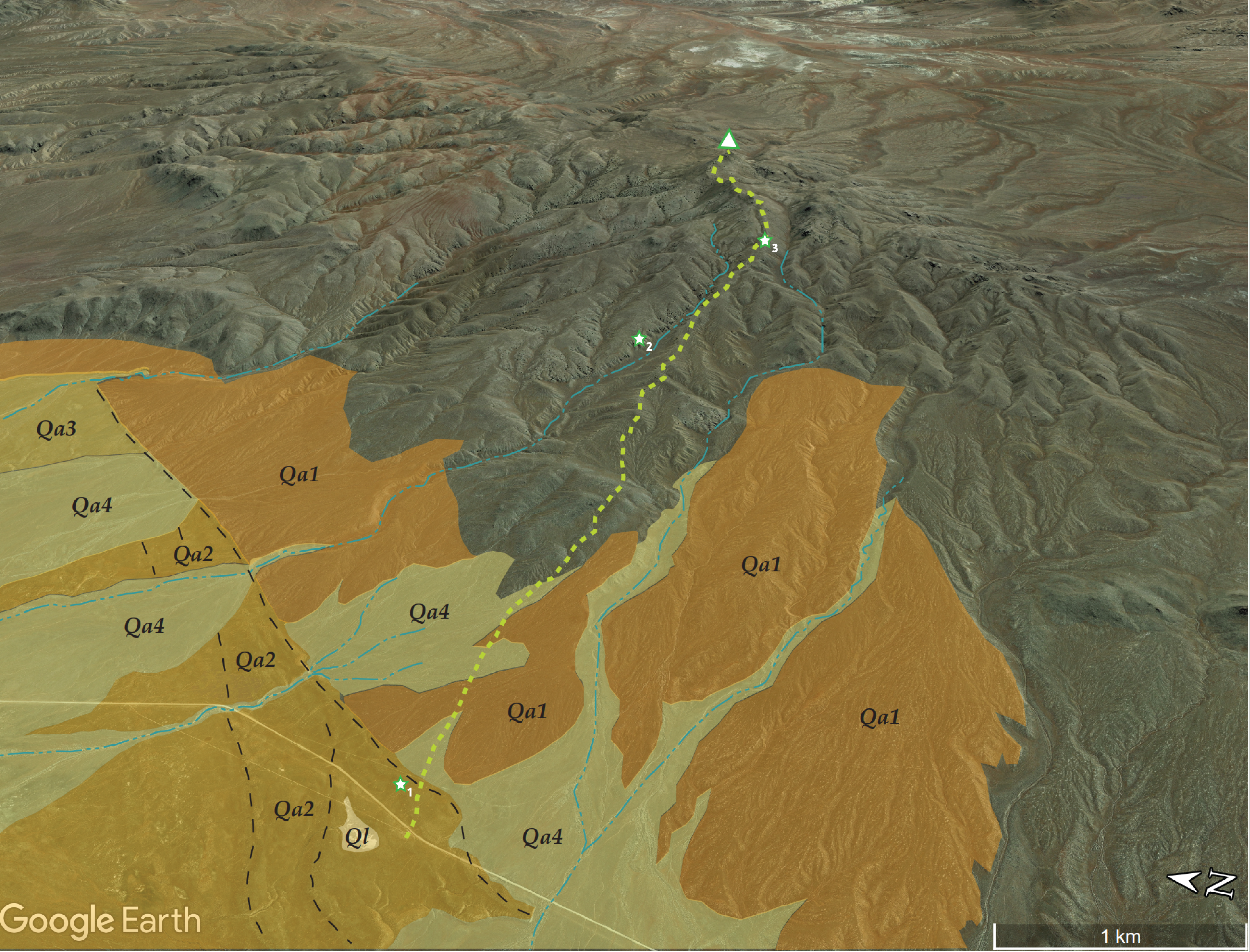
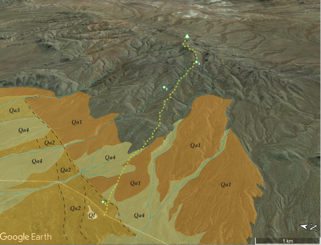
Map of Quaternary landforms near Dry Mountain in the Pahsupp Mountains, Black Rock Desert, Nevada

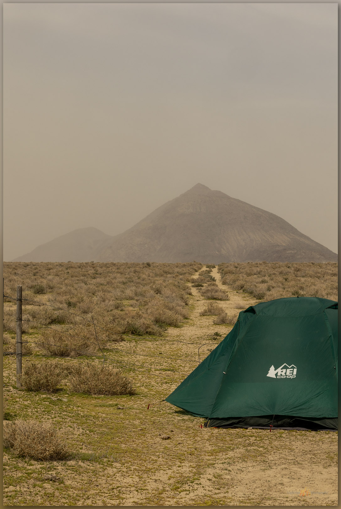
I had scouted on googleland earlier, marking a possible camp in my GPS. The waypoint appears my dashboard screen, finally, and I pull off the road. Not a camp you would write much about, just a wide spot where a two-track takes off from the main dirt. I will not see another car until I am back on the highway tomorrow, so once I climb into my tent, I can immediately forget that I am basically camped adjacent to an intersection. No traffic here.

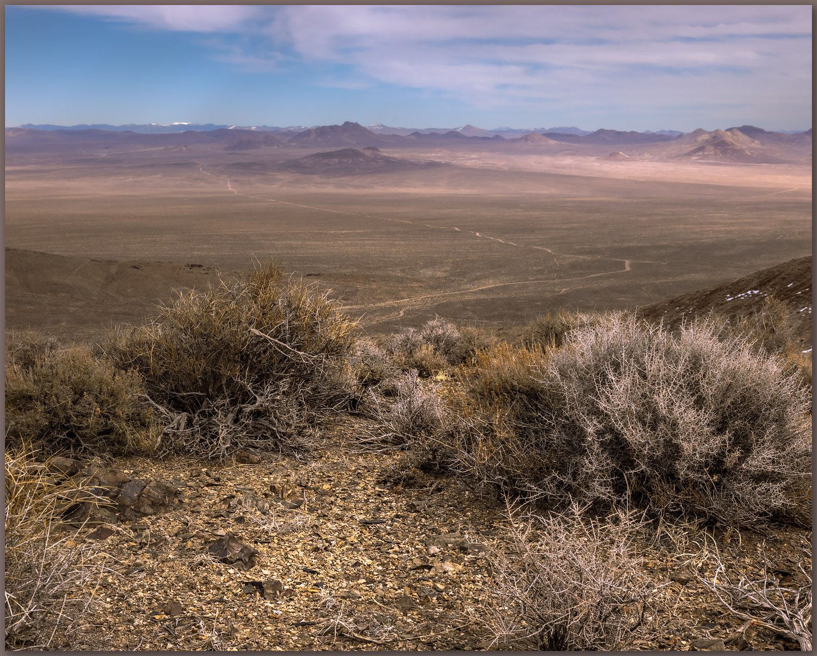
There is a chill in the air, and wispy high clouds resolve as the white-gray of the morning sky shifts to blue. Dry Mountain leans back into the sun toward the eastern horizon. I have five miles to walk to the high point – up a long, generally smooth ramp of alluvial fans and beveled pediments to reach the rocky summit.

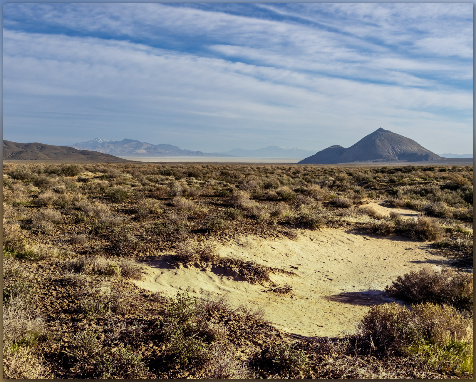
Strand blowouts. Strand lines and silt plain at the base of the Pahsupp Mountains, Black Rock Desert, NV, USA
Subtle strands. Low, gravelly shoreline berms mark the Jessup highstand of pluvial Lake Lahontan on the western margin of the Pahsupp Mountains, NV, USA (#1 on map).

I first traverse a set of alluvial fans where pluvial Lake Lahontan built gravel berms and beaches about 15,000 years ago. The remnant strandlines show as subtle, rounded mounds of dusty gravel stretching perpendicular to the gradual slope of the mountain-front fans. The uppermost strand cuts into the slope formed by a Pleistocene-age fan (Qa1 – older than the lake stand at 15,000 years ago), its erosional scarp formed as waves cut into the gradual slope and arranged gravel in the mounds we walk across today – it is easy to see this berm and scarp tracing its way north and south on aerial imagery just above the road. As the lakes receded, they left stringers of other off-shore bars and recessional beaches, while new alluvial fans (Qa2 and Qa3) chased the receding lake basinward. Once the lake had faded – and during its long, current absence through the Holocene (since 12,200 years ago), young alluvium (Qa4) flows in drainages; it is sometimes dammed by the older berms, coalescing at gaps where storm floods formed cuts in the berms or, in other places, it buries the former beaches altogether.

Beveled pediment. The structure of the granitic pluton is revealed below the alluvial veneer of the western slope of Pahsupp Mountain, Black Rock Desert, NV, USA (#2 on map).

I continue up the long ramp to gain the beveled slope of the granitic pediment that abuts craggy peaks nearer the summit – I’m about halfway through the gradual climb. I can look across the deeper canyons and see how the top of very old (millions of years), uplifted granite, with a fabric of nearly vertical structure, is cut and capped by a gently sloping veneer of alluvium. If I was walking across that alluvium, I might think I was on just another alluvial fan, but the sandy to cobbly veneer is thin (maybe a few meters) and the landform, as a whole, is bedrock – so we emphasize the big picture and call it a pediment, though as archaeologists we would want to be aware of the age of the alluvial veneer. Here, it is generally active and young – it is subject to common slopewash and shows very little soil development. The alluvium is Holocene; there is a lot of time missing from this generally erosional surface. This is the landform that feeds the fans below.

But onward.

Toward the summit. A game trail leads along a ridge to a western false summit outcrop, Pahsupp Mountains, Black Rock Desert, NV, USA (#3 on map).

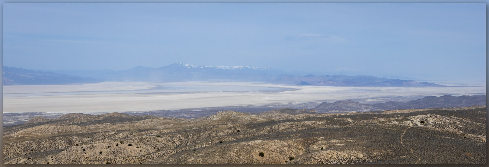
I gain the steeper sections of ridges and eventually work my way past one false summit to the bouldery crags that form the steep outcrop of the Dry Mountain high point. The views in every direction are Basin and Range at its best. There is shallow lake moving across the Black Rock playa at the terminal end of the Quinn River. Dust is rising from the Smoke Creek Desert to the west, and I can sense a change in the freshening breeze; it will be gusty soon. It is time to settle into the long walk down to camp.

Runoff remnant. The ephemeral lake of the Black Rock Playa, Black Rock Desert, NV, USA
Fading gully. A narrow strip of riparian vegetation waits for spring in the reaches below Dry Mountain summit, Black Rock Desert, NV, USA

Although I cannot help delving into the pattern of landforms as I wander to any high point, I always hope to show the hard, subtle beauty of the Great Basin Desert in a series of landscape photos that go beyond the mapping of geology and geomorphology. To me, these things are inseparable. But bringing the desert to life under blue-sky, dry days is difficult, especially when a long walk means I don’t have time to look for smaller scenes – before each walk, I fantasize that some drama will unfold in front of me. On most days, however, a quiet, desert walk misses the drama of a gathering storm or the bursting gallop of a pronghorn herd – or hassled traffic and the workaday office, and I disappear into the fabric of the landforms that spread from the mountains where I wander. Portfolio pictures may come another time.

Keep going…

Pahsupp Collection

Please respect the natural and cultural resources of our public lands.

#naturefirst #keepgoing

Nevada High Points #110 – Lodi Hills

D. Craig Young · September 17, 2023 · Leave a Comment

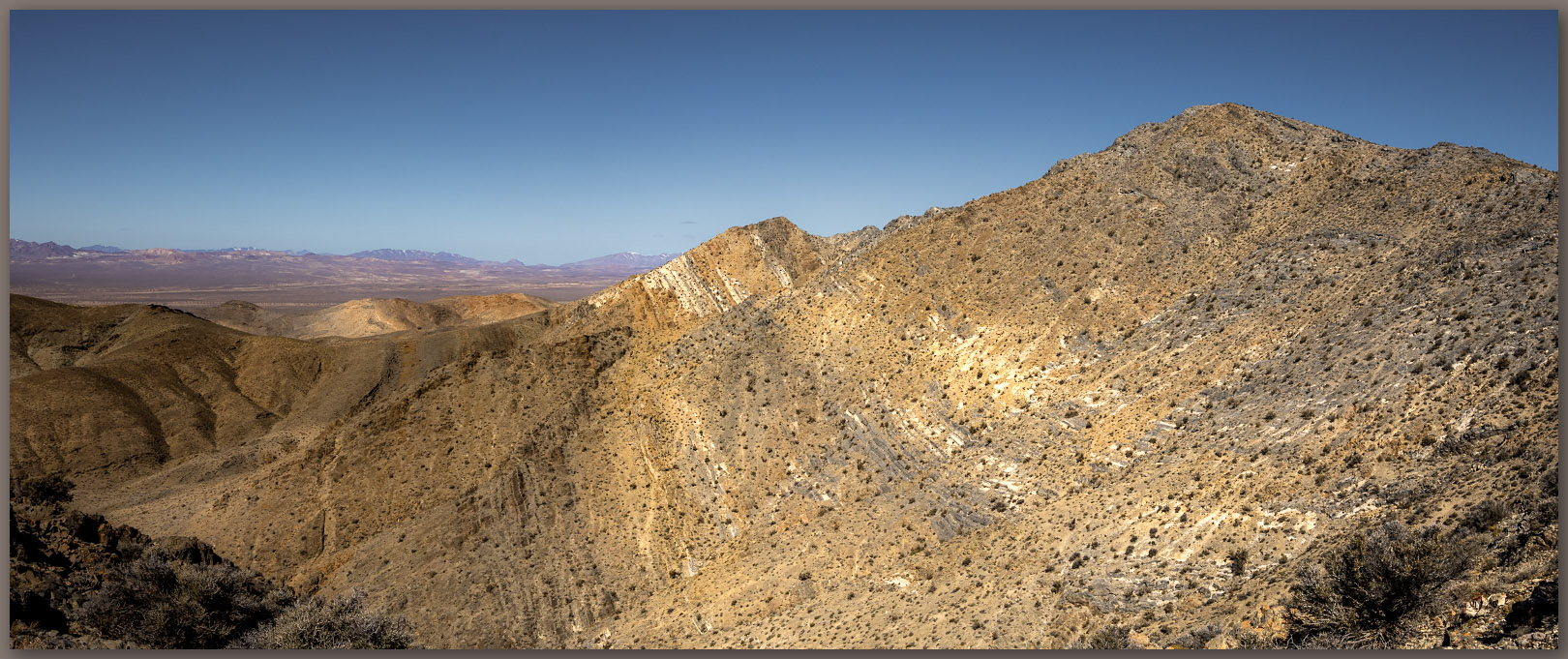
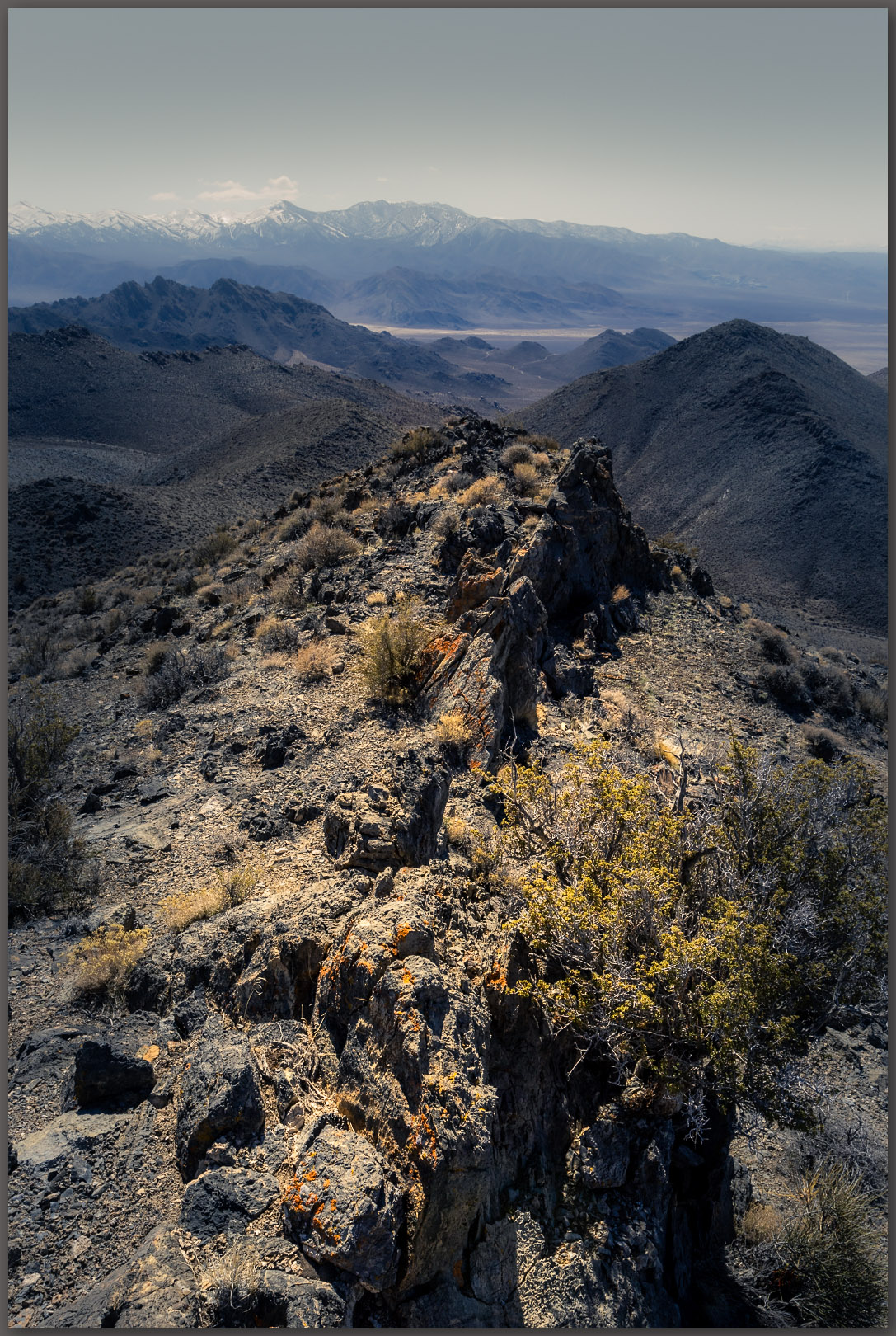
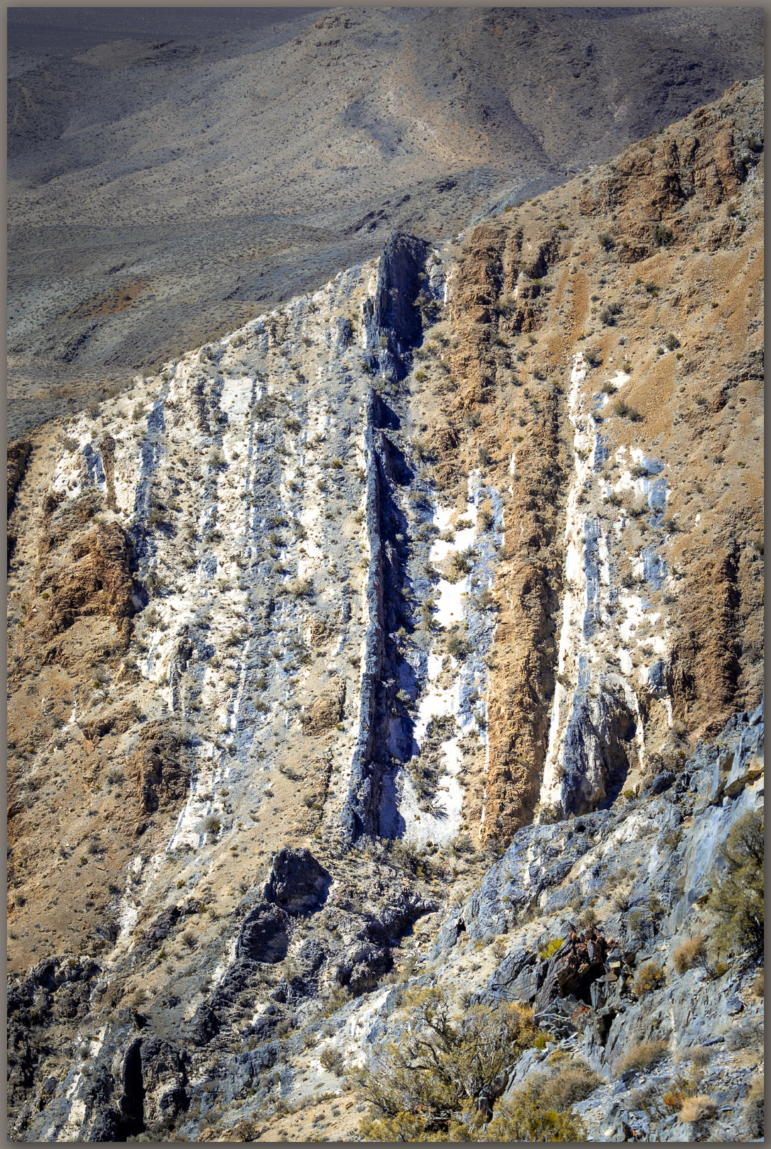
Down fold. Limestone and dolomite folded toward vertical below the high point of the Lodi Hills, Great Basin Desert, NV, USA

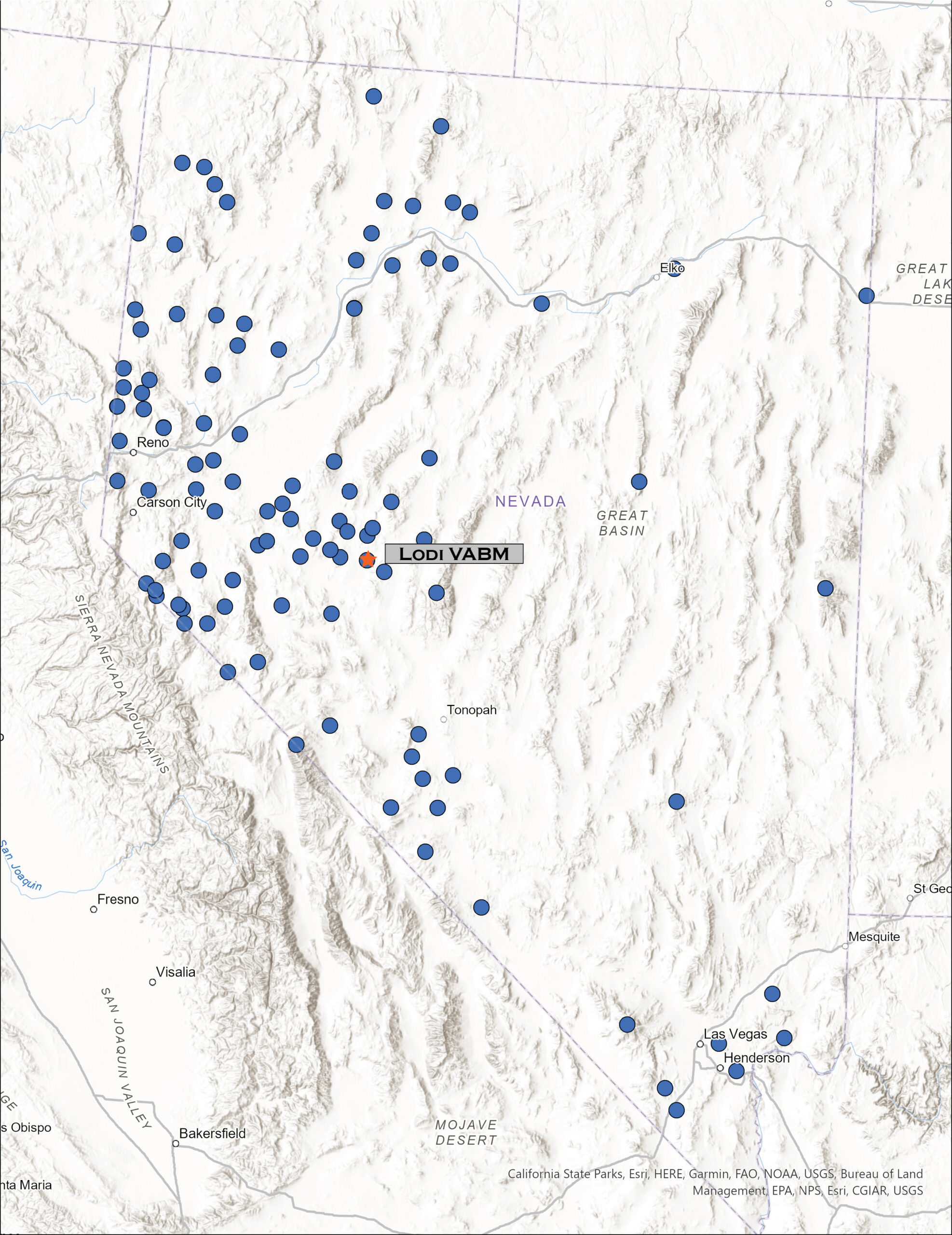
Lodi VABM

6526 ft (1989 m) — 1728 ft gain

2023.03.17

Lodi Hills Image Collection


Occasionally, a highpoint excursion takes me into an area where our field teams are working, and this provides a good opportunity for a closer look at the landscape surrounding our project efforts. I left home early thinking I would get to the base of the Lodi Hills – my highpoint target on the day – to cover the relatively short, easy walk above Gabbs Valley in west-central Nevada; afterward I might check in with the crews to see how things are going.

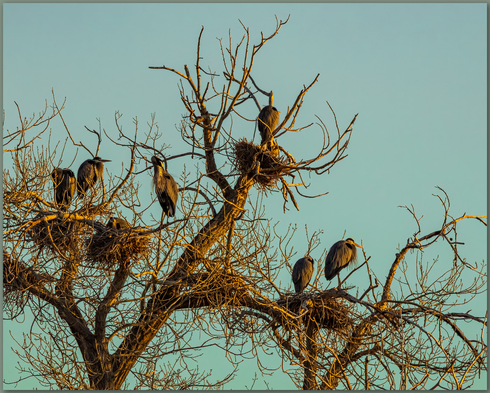
In Lahontan Valley, near Fallon Naval Air Station, I came across a well-established rookery of Great Blue Herons, waking up to morning light as the first jets rumble away from the runways nearby. There is some courtship going on, while others are already nested up and awaiting an early brood.

Heron hotel. Early morning roost, a place these birds of used for years, Blue Heron, Lahontan Valley, Great Basin Desert, NV, USA

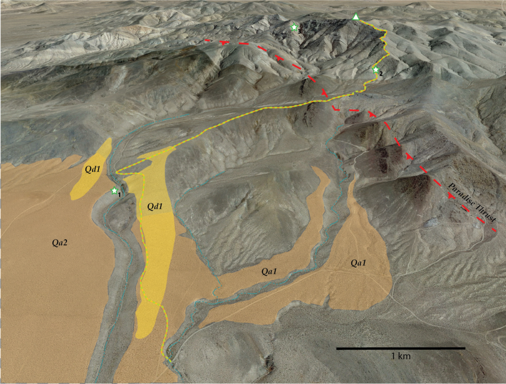
I ventured southward into Gabbs Valley, turning east on the broad alluvial fan that emanates from the Lodi Hills. A good dirt road took me to the base of a shallow canyon below Victory Mine, where prospects and other mining-works mark the hillslopes to the east. I left the rig to walk a two-track road northward, climbing gradually along a sand-covered fan (Qa1). The ramping sand thickens to a sand sheet (Qd1) that has formed on the leeward side of an incised gully that cuts deeply into the fan. The gully exposes a planar surface where the alluvium (Qa2) rests on an underlying, beveled surface of volcanic bedrock, the foundation of the west-facing slopes of the Lodi Hills.  The exposure of the canyon wall is a nice example of how proximal fans form on older surfaces along the mountain front.

Curving away. A drainage cuts through a broad alluvial fan exposing the beveled pediment at the base of the Lodi Hills, Great Basin Desert, NV, USA
Bevels. An alluvial fan of gravel and sand extends across beveled bedrock at the base of the Lodi Hills, Great Basin Desert, NV, USA

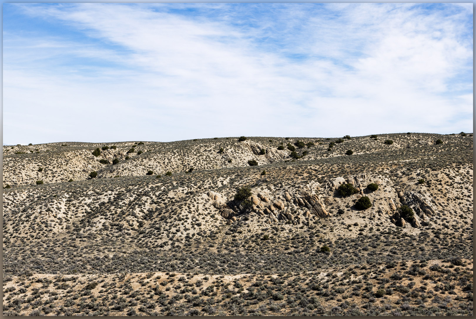
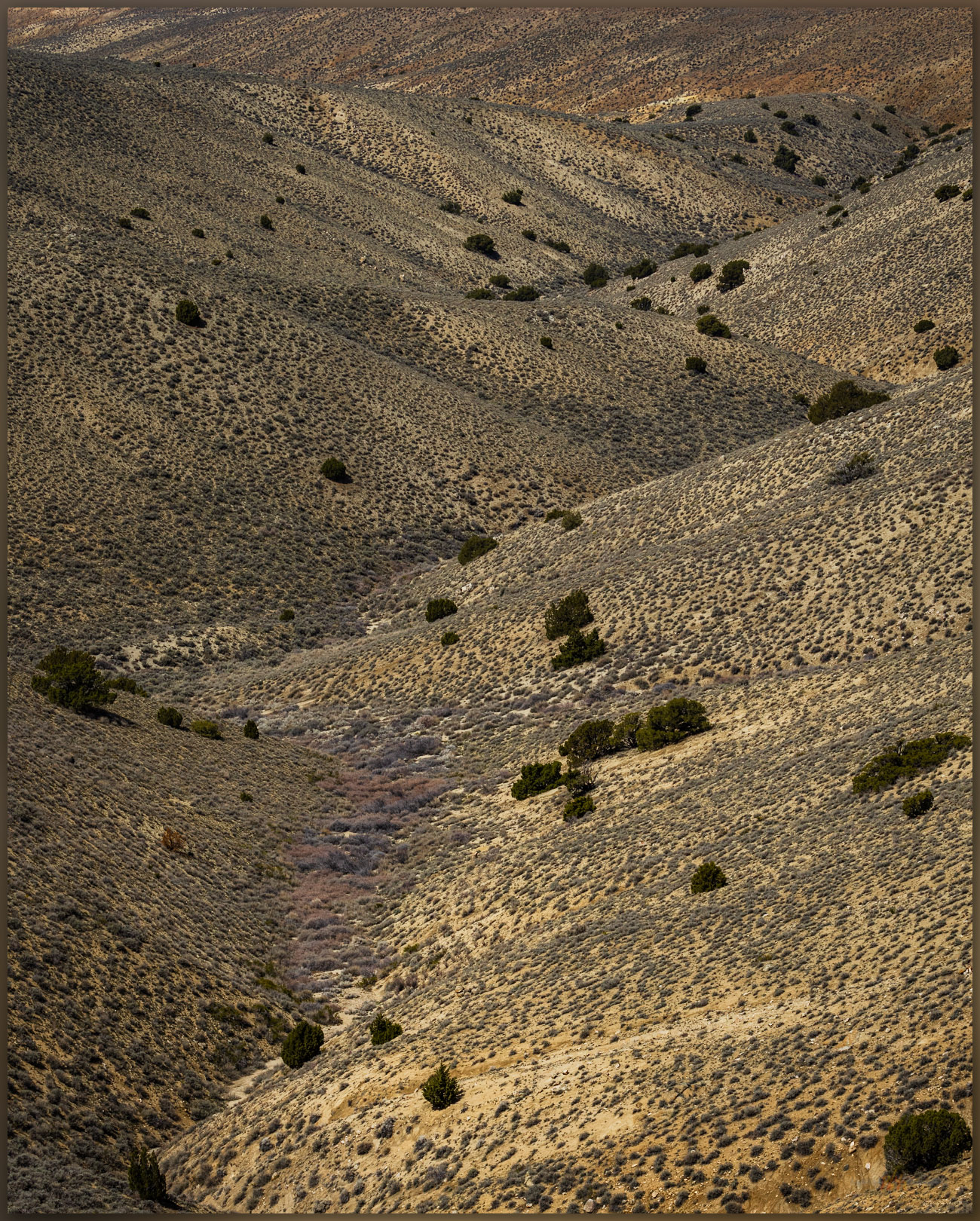
I turned eastward to climb a broad, sand-covered slope. It is difficult to map these landforms. It is your basic hillslope supported by the ancient bedrock of this segment of the Lodi Hills. So we could map it as dolomite or limestone hillslope (geologists show this on their maps), but the sand sheet (Qd1) is prominent in places, protected behind low outcrops and falling along the leeward side of deeper gullies leading to a broad canyon. I am not overly interested in the bedrock structures, though I enjoy walking through them. I focus on recent, or Holocene-age, landforms generally, so I tend to highlight the younger sand, wondering about its origin and overall mobility. As I move upward and eastward I come to what I think is evidence of the Paradise Thrust fault where older Triassic limestone has pushed eastward and up over younger, Jurassic limestones. The rock units change color, and a few areas so more conglomerate, old debris flows where rock clasts are cemented together, unlike the nearby smooth and fine-textured remnants of older ocean beds. But the thrust change could be further west, I am just not sure about this bedrock, the limestones are so similar.

The thrust. Gradually inclined beds of the Paradise Thrust lead toward the folds and outcrops of the high point ridge, Lodi Hills, Great Basin Desert, NV, USA
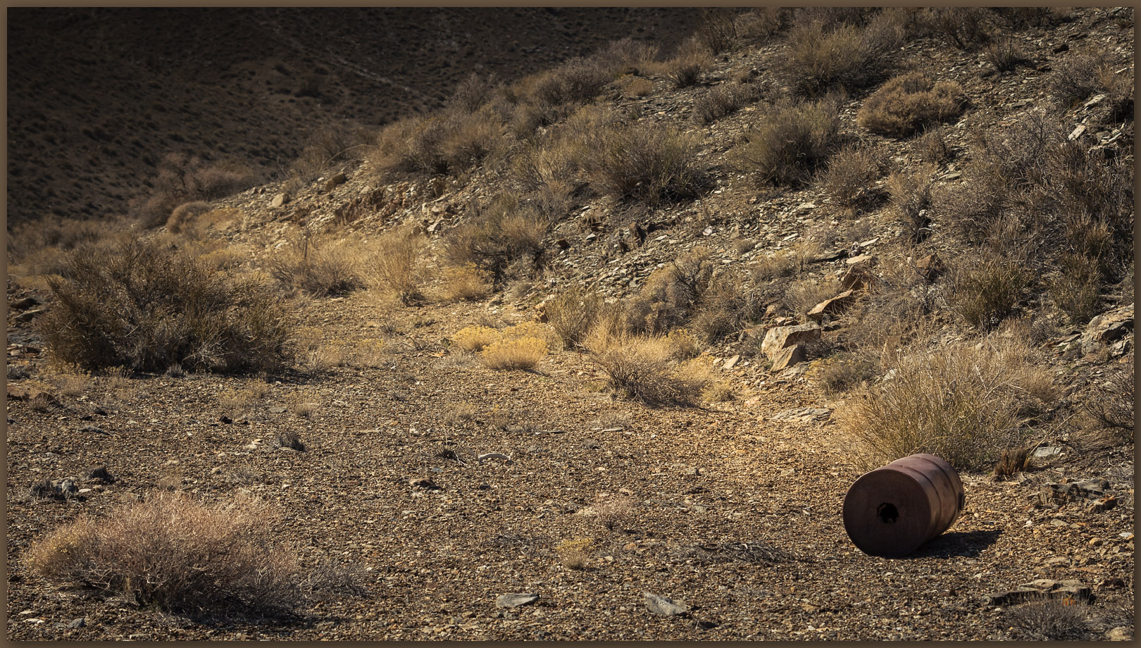
Platform. Traces of mining in the folds of the Lodi Hills, Great Basin Desert, NV, USA
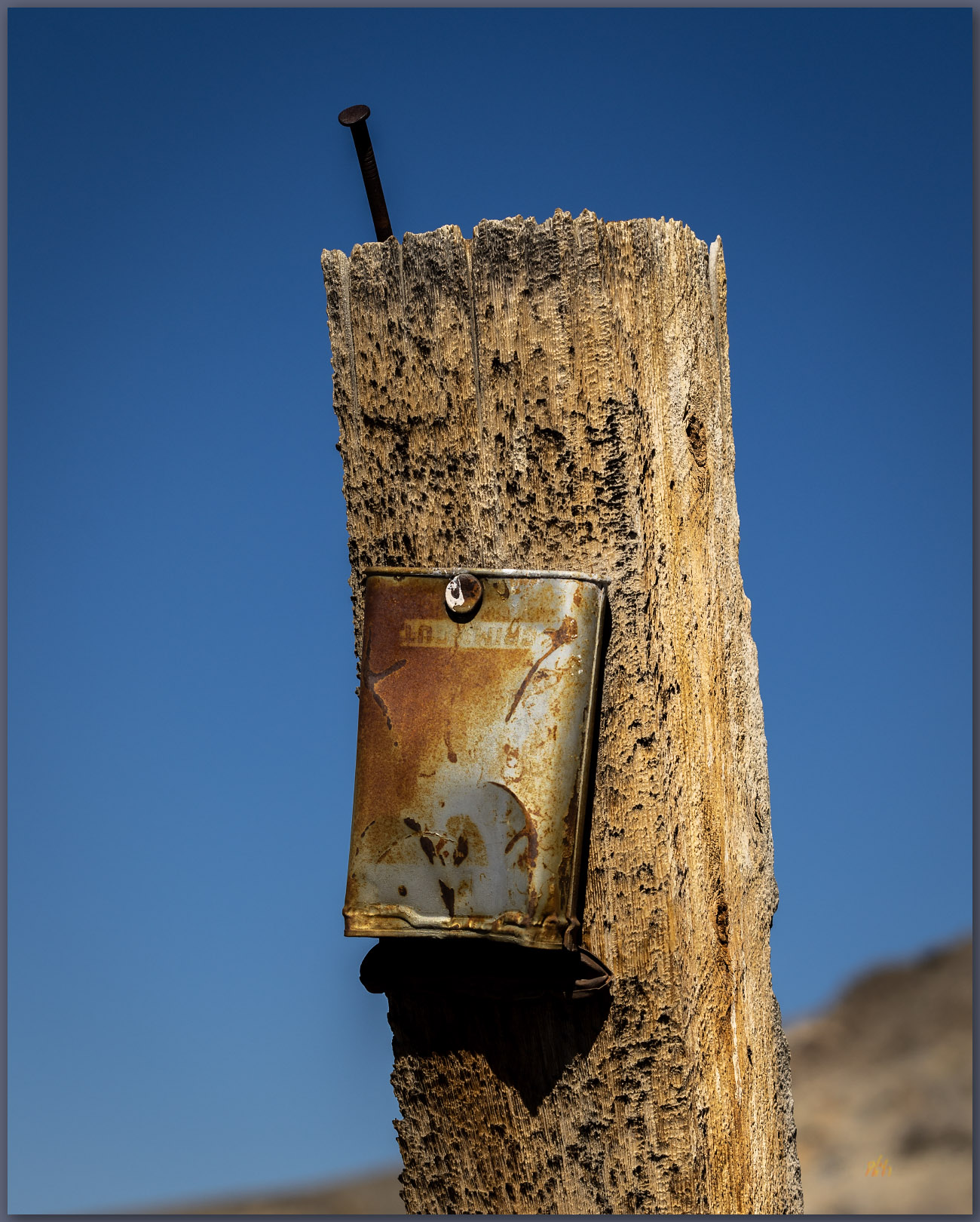
Tins as tags. A mining claim in the canyons of the Lodi Hills, Great Basin Desert, NV, USA

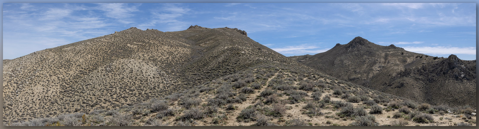
I find some prospects where the slope steepens into a summit ridge. I had avoided hiking the two-track road to the prospects in favor of the nearby ridgeline. These historic-era features are interesting, but I need to keep moving. I climbed upward to the ridge where the rocks get interesting, even in a range as isolated as the Lodi Hills. I could see the tilted and lifted bedrock forming the foundation of the summit and enjoyed the wandering ridgeline until I finally reached the summit.

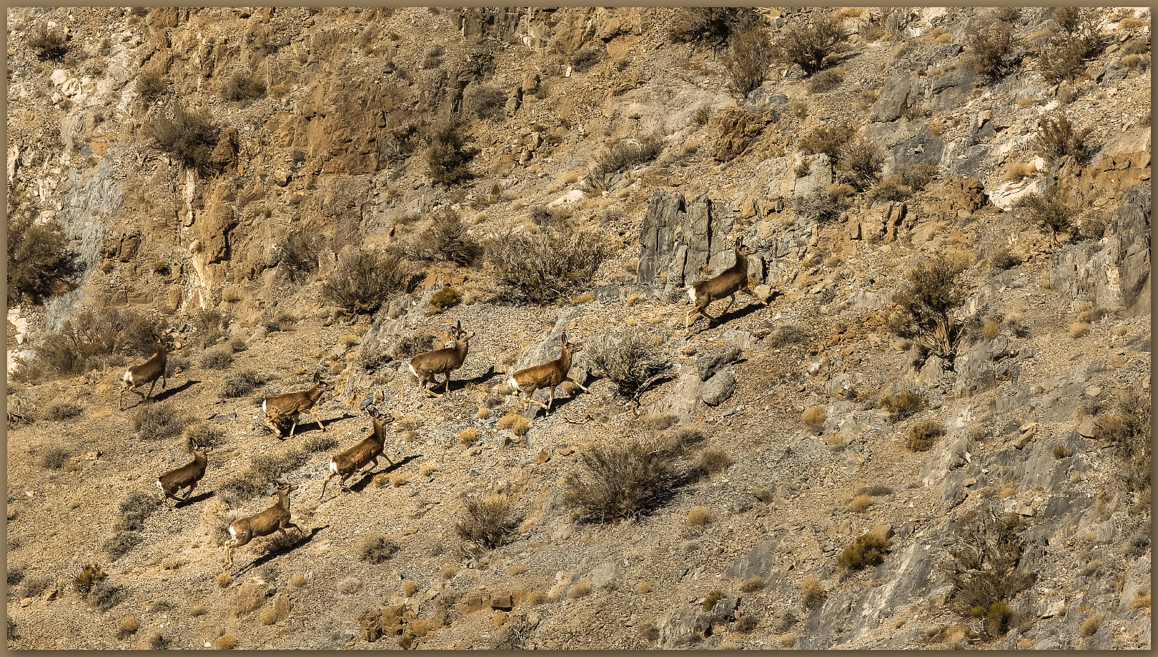
I watched a small herd of deer wandering the steep-sided gullies below the summit. I do not think they ever saw me. The summit is a cluster of bounders with a generous view in every direction – a worthwhile effort in the relatively low hills.

Followers. Mule deer traversing the slopes below the high point, Lodi Hills, Great Basin Desert, NV, USA
Nearing the top. Exploring the light on the high point ridge, Lodi Hills, Great Basin Desert, NV, USA
Verticals. A seabed emerges from the folds of the Lodi Hills, Great Basin Desert, NV, USA

Lodi Hills Image Collection

I did not have much time to linger as I was still looking to meet our crew in the valley below. Nevertheless, I took my time, wandering a more southerly set of ridges and slopes to find another sand-filled gully to reach the truck. Glad to spend a day in the hills once again.

Keep going.
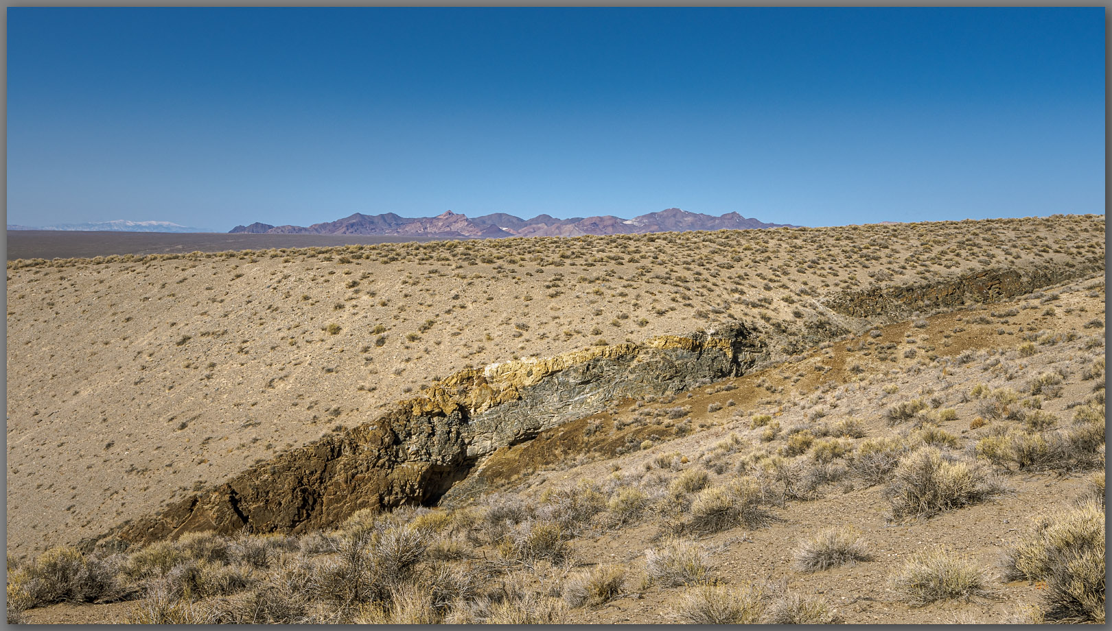
Please respect the natural and cultural resources of our public lands.

#naturefirst #keepgoing

Nevada High Points #109 – General Thomas Hills

D. Craig Young · July 24, 2023 · Leave a Comment

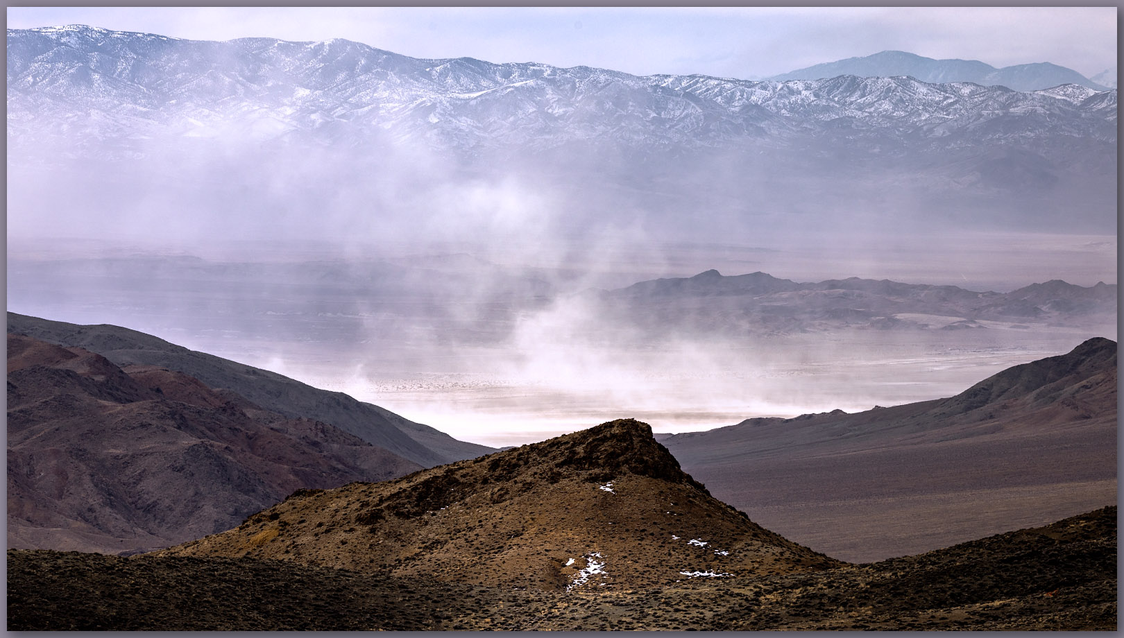
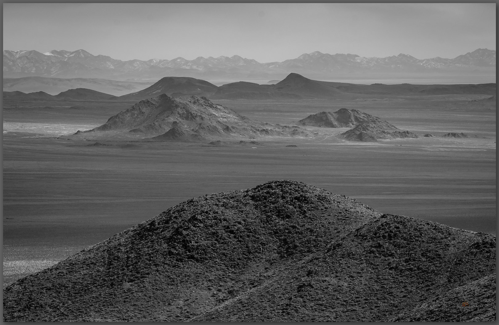
Dust up. Dust rises from the basin floor of Clayton Valley, from the highpoint of the General Thomas Hills, Great Basin Desert, NV, USA

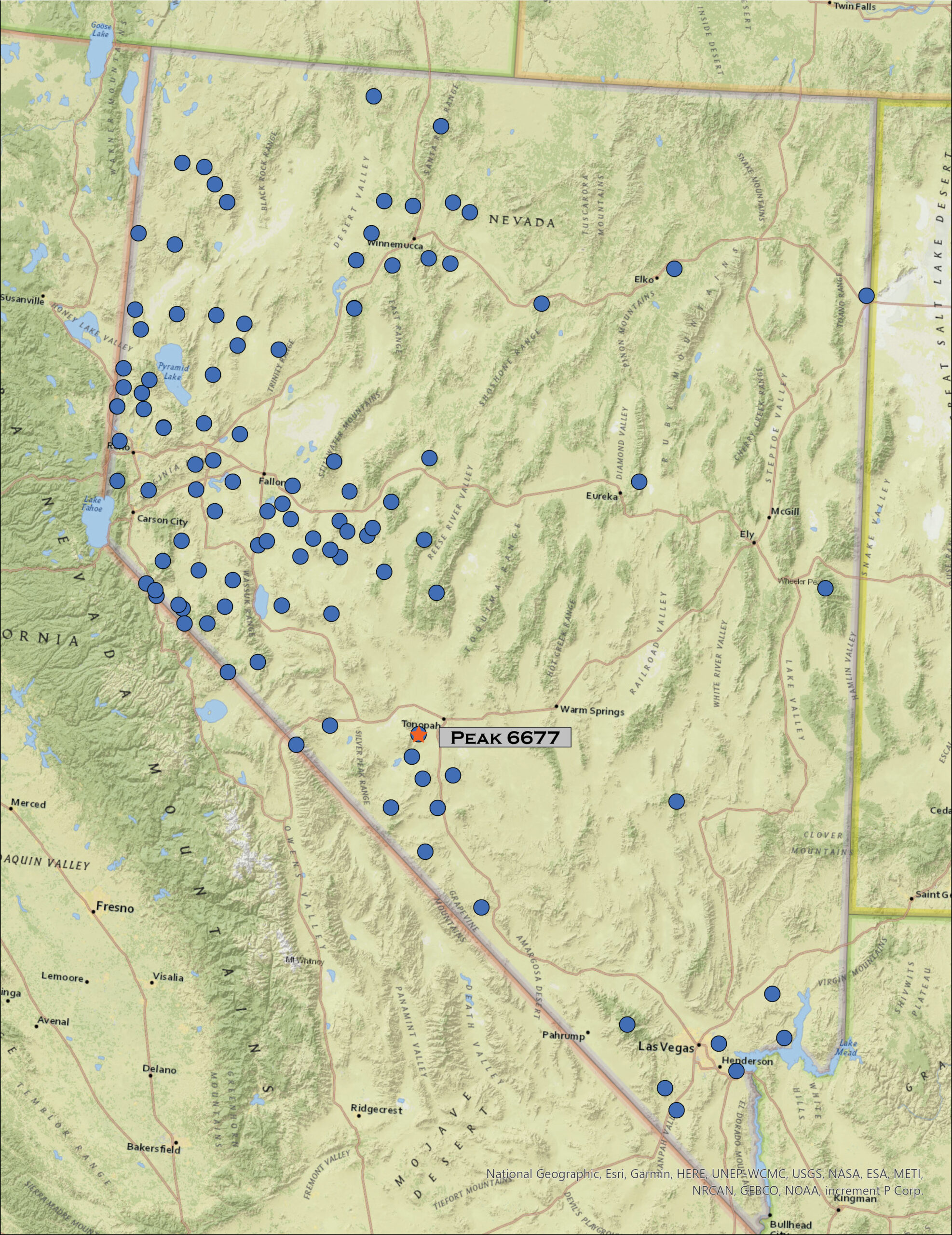
Peak 6677

6677 ft (1989 m) — 1450 ft gain

2023.02.12

General Thomas Image Collection


The winter snows seem endless, the foothills of the Carson Range releasing the cold moisture from the lake effect that streams out of the Tahoe Basin. The Sierra snowpack is trending toward record depths, and we benefit from the overflow that has been prevalent this season. It does not look to be letting up as the atmospheric rivers remain productive. It means, however, that I must head farther south to find dry ground to explore. So, I am out early on Sunday morning – still a Second Friday weekend – and headed toward Tonopah where dirt will lead me into the General Thomas Hills, an easy-day outing.

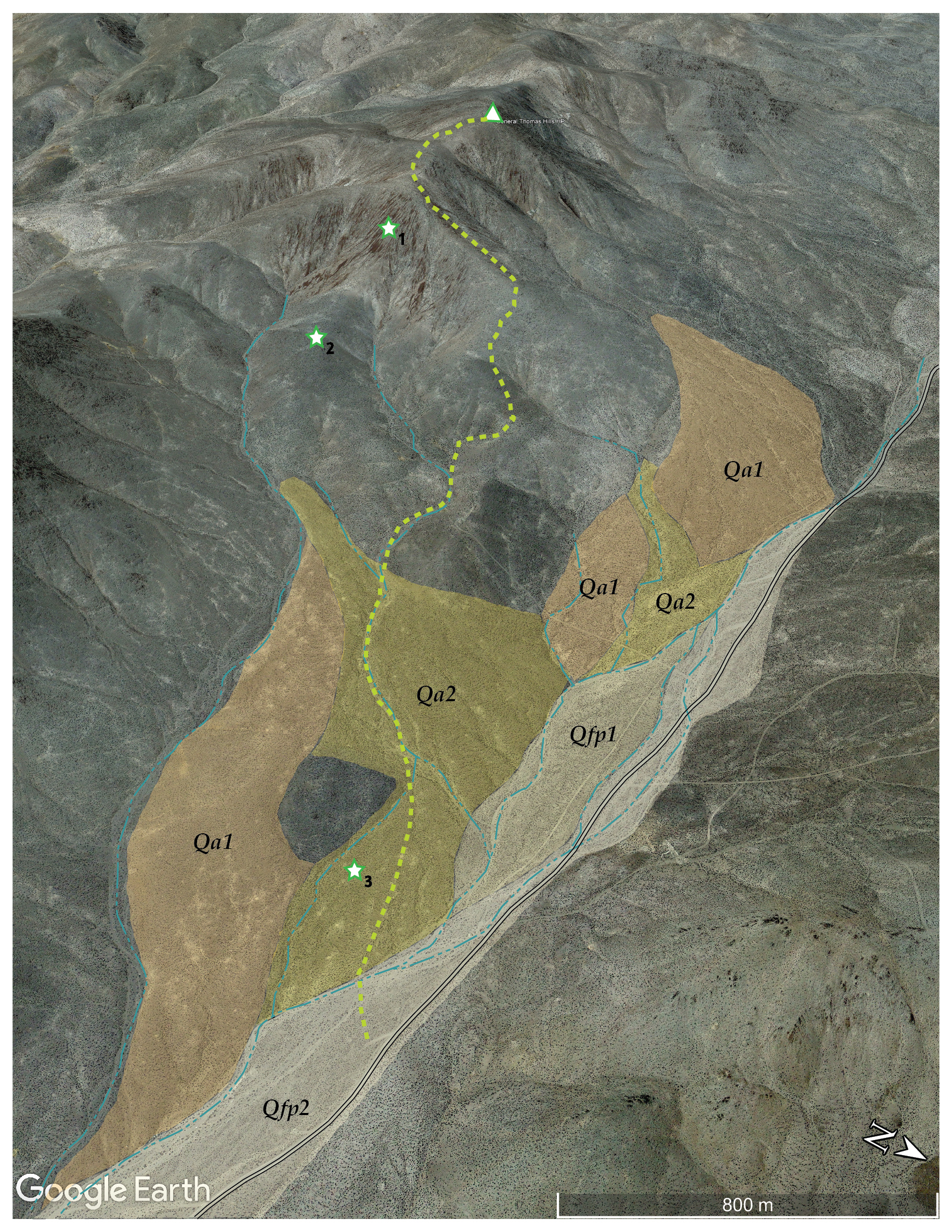
I have lately developed a mindset, once I begin walking, that the summit is the ‘only’ goal, moving up and down with basically that purpose, hoping only secondarily that some photo opportunities might present themselves. Over the next few posts, realigning the experience and communication, I hope to introduce an emphasis on the physical geography of routes I take to reach each highpoint. Photography will remain a key component of each excursion, but I will also focus on describing the landforms I encounter, mapping and describing how and when they might have formed. You will find a new map with each post highlighting the Quaternary (2.2 million years and younger) landforms along with a few other features-of-interest to add to the story (hopefully). I do not do rocks; other than a few recent lavas from relatively isolated volcanic centers, there are not many rock-forming processes in the ‘recent’ past. I am fascinated by the natural weathering that changes rock to sediment and the processes that rearrange that sediment to form landscapes. We will be looking at alluvial fans, dunes, floodplains, and lakes – those extinct and, sadly, those becoming so – among other things, and, hopefully, making some informed guesses at how environment and process, past and present, influenced their arrangement. My hope is to develop, over time, a dictionary of Quaternary landforms for the Great Basin, adding detail to the vast ‘yellow’ space on most geological maps. This starts, of course, with a walk – camera at the ready – to get our feet and eyes onto the landforms.

Informal geologic map of recent landforms of the General Thomas Hills, NV

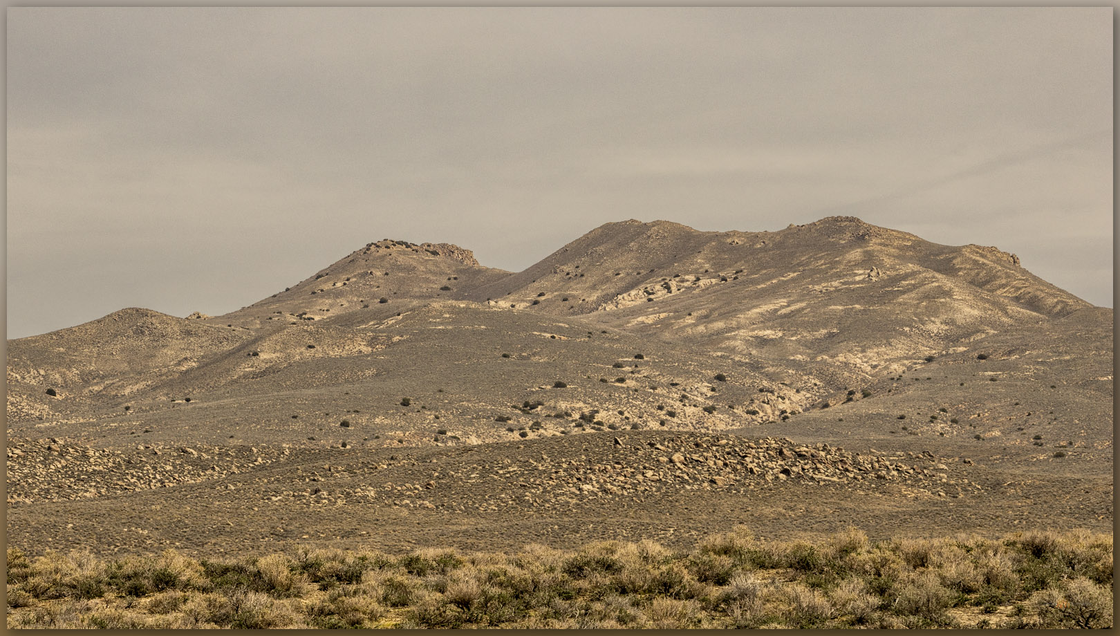
The General Thomas Hills rise west of Montezuma Valley with its vast alluvial basin floor leading toward the modern playa of Alkali Lake. The hills are not prominent, but they are separated from nearby (and higher) ranges of the Weepah Hills and Lone Mountain by the broad trench of Paymaster Canyon – we will get those soon. Looking back, we were here a month ago to explore the highpoint of Paymaster Ridge to the south.

Hillscape. Outcrops of Montezuma Valley below the General Thomas Hills, Great Basin Desert, NV, USA
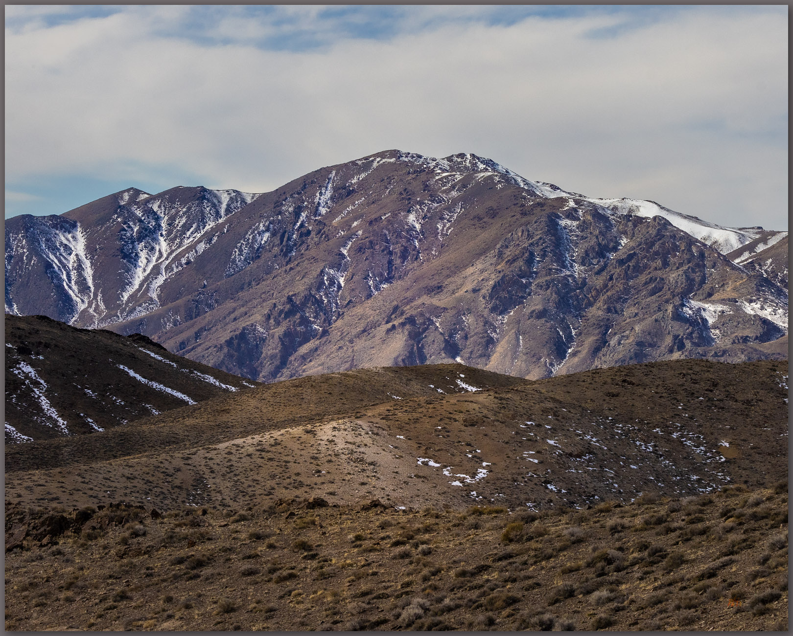
Weepah. Weepah Hills rise beyond Paymaster Canyon, General Thomas Hills, Great Basin Desert, NV, USA

While the uplift that formed the hills occurred relatively recently, the rocks we traverse are very old. I park along the Paymaster Canyon Road to look up at easy rolling hills with talus and low rimrock outcrops of intrusive Triassic or Jurassic rocks, easily over 100 million years old. When these rocks were deeply buried, deep movements pushed and folded even older rocks over the top of the Triassic rocks, creating a thrust fault. These Cambrian rocks (>400 million years old!) outcrop close to the summit, referring to a regional geological map (as I have said, I am not so good with rocks), so we walk back in time as we walk up the hills.

This time travel is true across any basin floor throughout the Great Basin. The young landforms are at the valley bottom or forming skirts and aprons at the valley margins, the outcrops of the mountains and hills reveal the old stuff. Here, just off the Paymaster Canyon Road, I walk into an active wash – dry most of the time – that cuts at the ends of relict alluvial fans forming the base of the General Thomas Hills. The wash (Qfp2) shows braided channels formed in flashy storm events when all drainage below Paymaster Pass focuses here; the road follows the drainage and clearly requires common maintenance to prevent it from capturing too much streamflow.

Above a low terrace riser, I walk onto the younger (Qal2) of two sets of dissected alluvial fans that emanate from gullies and rills cutting into hillslopes above. As extensional faulting lifts the older rocks to form the hillslopes, weathering and gravity take over; the hills shed sediment toward the basin floor. Driven by water and pulled by gravity the sediments debouch from the confinement of narrow gullies to spread in conical fans that bend even further basinward. When water is the dominant transport mechanism the sediment is called alluvium, so these conical landforms are alluvial fans. We are, however, in the middle of the desert – actually, the intersection of the Great Basin and Mojave deserts; there is not much water here. What water does come, it comes in high-energy pulses, but with so little input, the formation of these fans, as you might imagine, takes time.

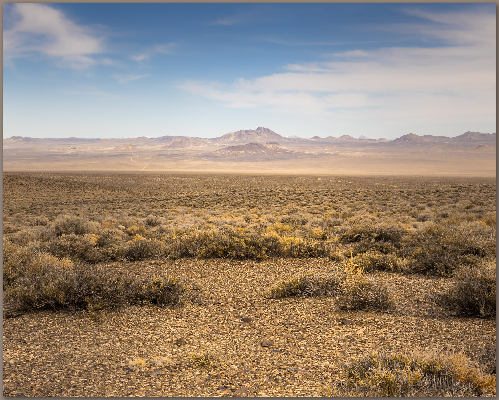
To the basin floor. Alluvium of lower slopes, black sagebrush community, General Thomas Hills, Great Basin Desert, NV, USA (Map Point #3)

The fan surfaces show patterns of sheetflow with small gullies and sudden debris flows, but they are mostly capped by an intricate pattern of well-sorted (about the same size) gravel. The surfaces have had time to ‘get organized’ so we can guess that these have been stable for several thousand years, at least. As I continue across the Qal2 surface, I see that the fan I am walking on cuts along the base of similar landforms to either side. This is a clear cross-cutting relationship, where the flows of one fan ate into another. We know, therefore, that the fan I am on is younger than the fan(s) it cuts into. The Qal2 is younger than the Qal1. How much younger? We do not know at this point, we would have to take a much closer look using more precise measures, but cross-cutting relationships give us a start. The fans are generally similar, so they might not be separated by more than a few thousand years, if that.

Desert slope. Black sagebrush community on the slopes of the General Thomas Hills, Great Basin Desert, NV, USA (Map Point #2)
Stone stripes. Colluvial aprons on slopes of altered Triassic rocks of the General Thomas Hills, Great Basin Desert, NV, USA (Map Point #1)

The wind picks up as I transition from alluvial fans to bedrock slopes that steepen noticeably. Pulling on my windbreaker, I pass a deep abandoned mine adit cut into the top of the alluvial fan. Exploratory mining, especially historic-era activities, often focus on the fan transition to quickly get to the potential ore of the mountain front without too much overburden. Above the adit, gravity takes over as the driving force moving sediment, with water becoming secondary. The sediment comes in large clasts now too. This is colluvium, sediment arranged by gravity into talus cones, aprons, and stripes. I also encounter steps as low rimrocks form ridges of resistant rocks. It is easy-going to the summit ridge, and the highpoint rolls out in a relatively level tableland making it a bit of a puzzle finding which little rock cluster hides the summit register. The wind is now piercing and cold; although the views are nice, I will not linger.

General Thomas Image Collection

Dust rises from Clayton Valley to the southwest, where dunes race in two directions. Today, after the storm, they are likely moving south (the dust sure is!); before the storms the prevailing winds drive them north. The mosaic of evaporative mines on the basin floor adds to the airborne sediment load. These are aeolian processes, wind-driven rearrangement, where gravity is once again secondary. Water is important too, but we will visit that another time – the dunes and desert loess of Clayton Valley are distant, and I have some driving to do. It is time to head down, retreating through time, from the ancient bedrock, through the fans of yesterday, and the sandy washes of today.

We have a lot to learn from the smallest of hills. I hope you enjoyed our journey – and renewed focus – through a few of the landforms of the General Thomas Hills; I clearly did not take enough photographs today. The cold wind reminds me that I have snow to return to, and, likely, a driveway to shovel.

Keep going.
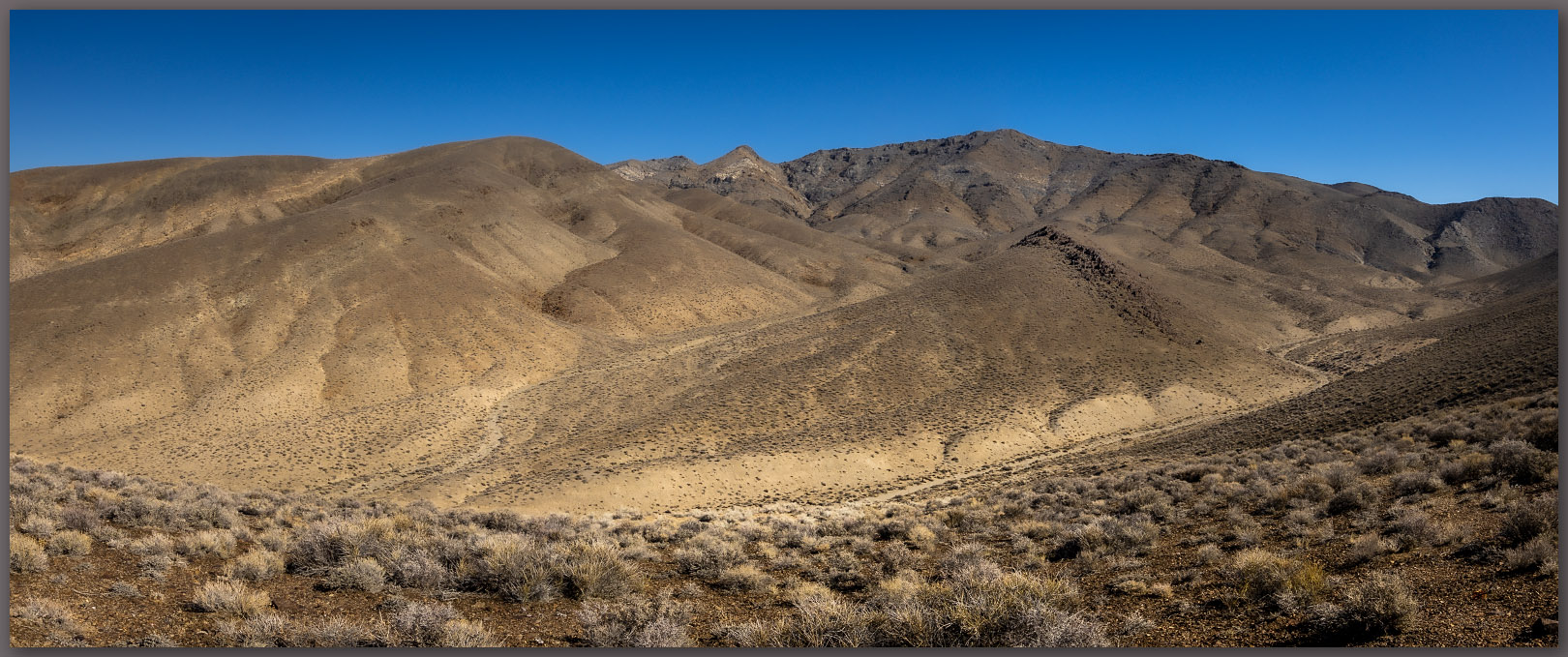
  • « Go to Previous Page
  • Page 1
  • Interim pages omitted …
  • Page 3
  • Page 4
  • Page 5
  • Page 6
  • Page 7
  • Interim pages omitted …
  • Page 19
  • Go to Next Page »

Trail Option

Copyright © 2026 · Monochrome Pro on Genesis Framework · WordPress · Log in

  • Contact TrailOption
  • Substack
  • Waypoints Bibliography
  • Young Archives