• Skip to primary navigation
  • Skip to main content

Trail Option

A personal geography of landscape and place, art and geo-science.

  • Home
  • TrailOption Blog
  • WayPoints
  • Galleries
  • About
  • Contact TrailOption
  • Subscribe!
  • Show Search
Hide Search

landscape photography

Nevada High Points #108 – Goldfield Hills

D. Craig Young · March 14, 2023 · Leave a Comment

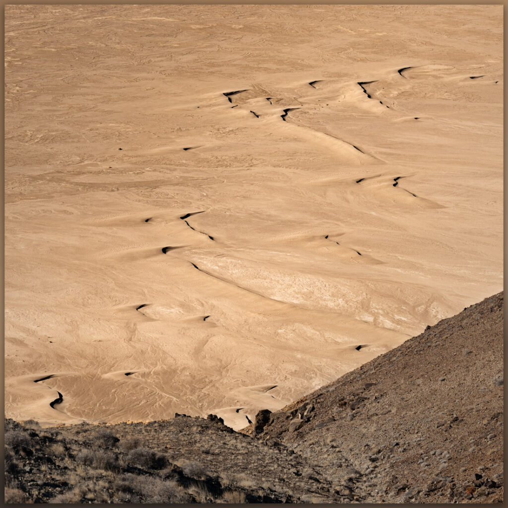
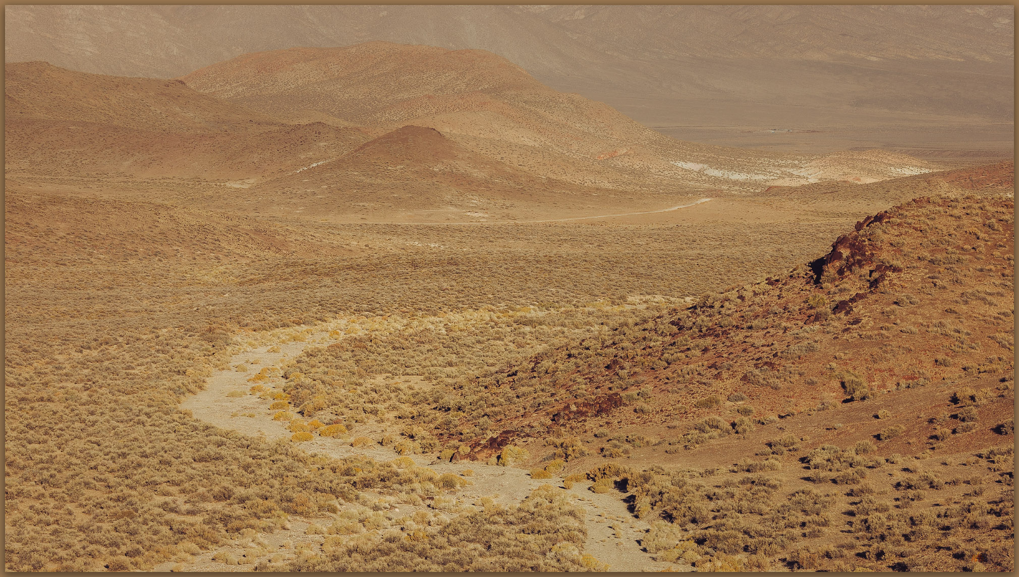
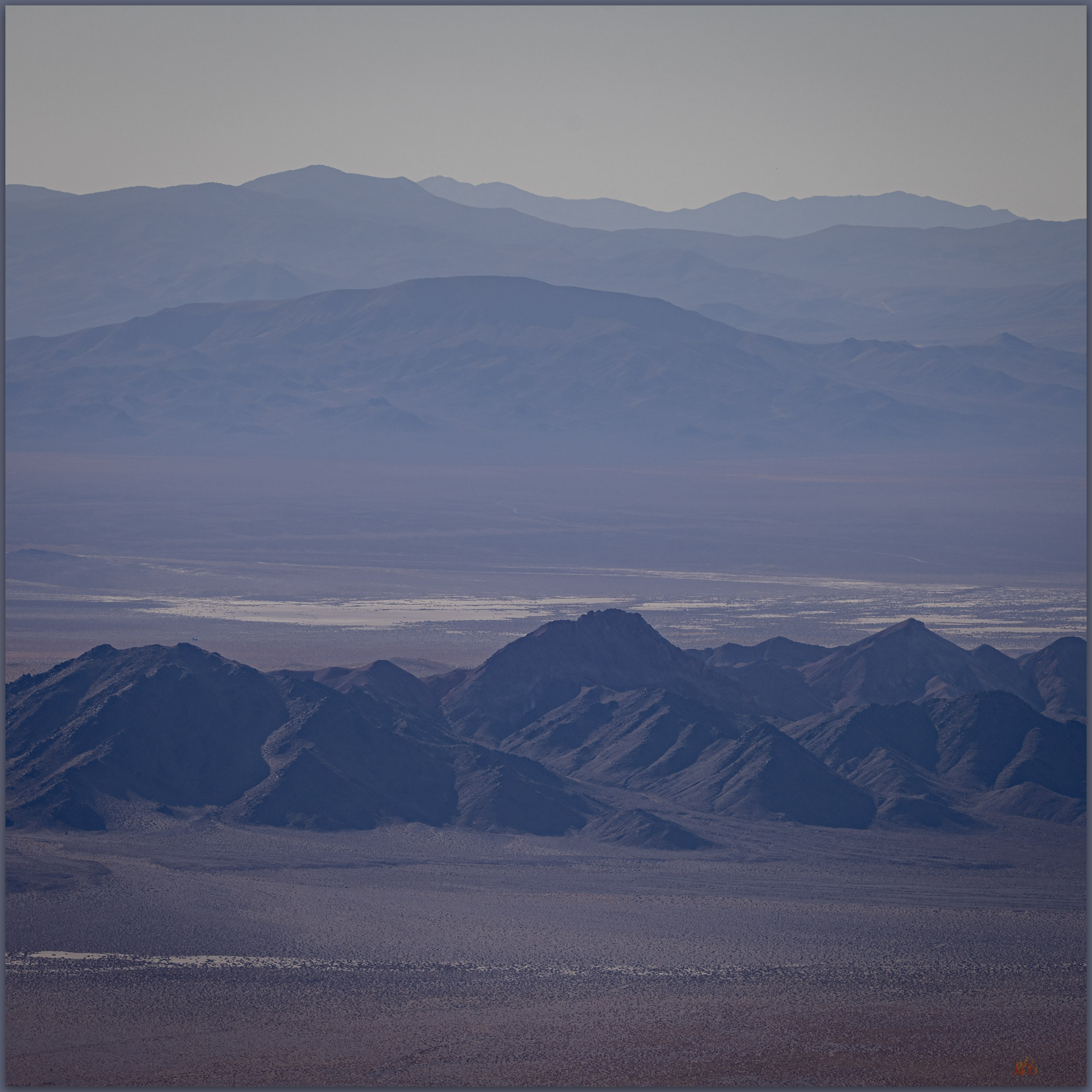
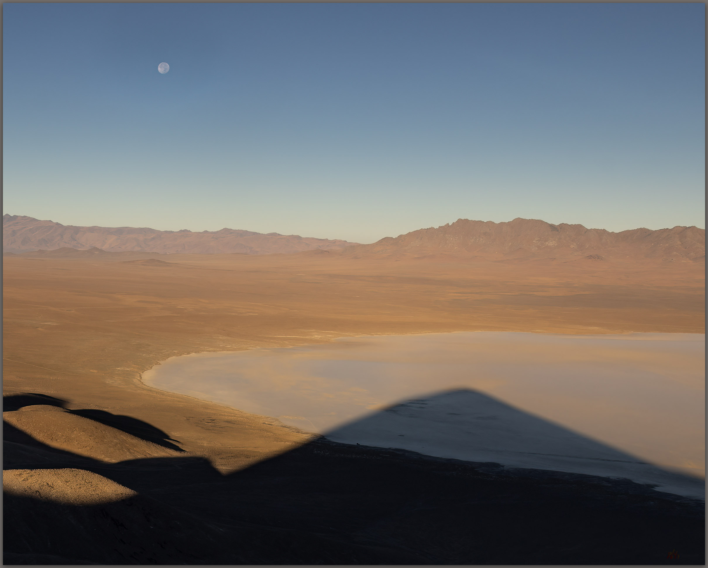
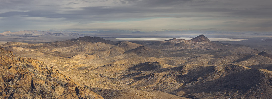
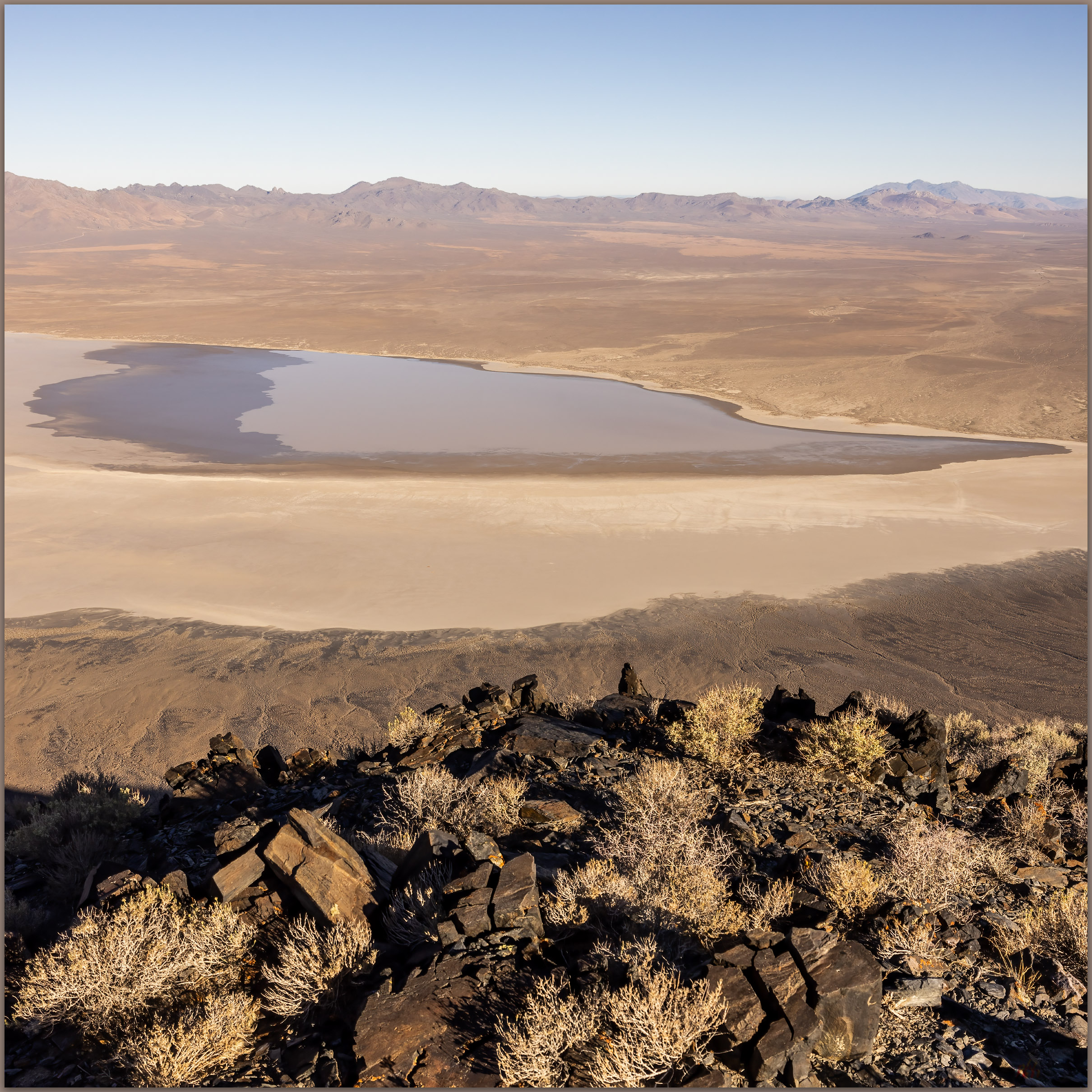
Mud Lake distance. The playa of Mud Lake is the northern backdrop of the Goldfield Hills, Mojave Desert, NV, USA

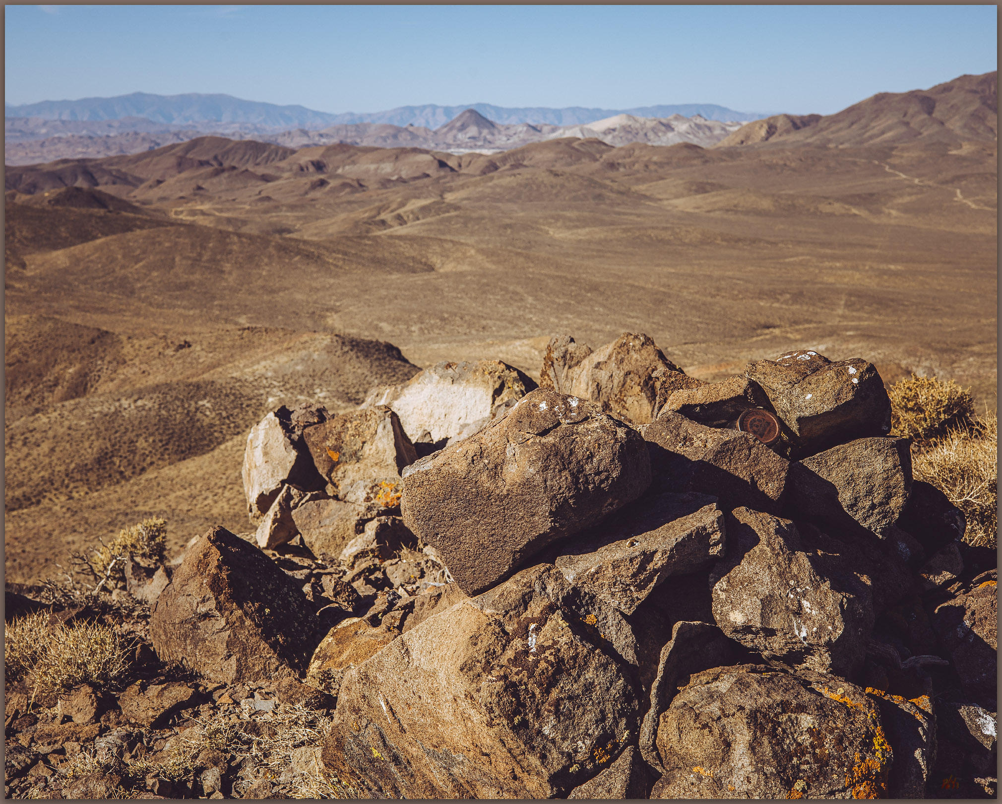
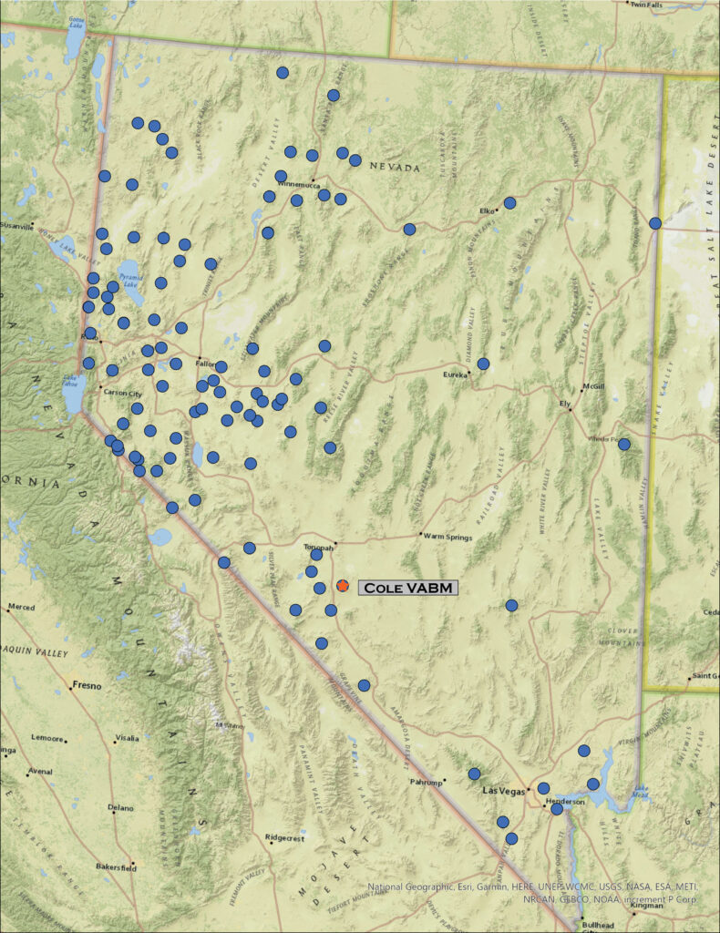
Cole VABM

6862 ft (2092 m) – 1438 ft gain

2023.01.14

Goldfield Hills Image Collection


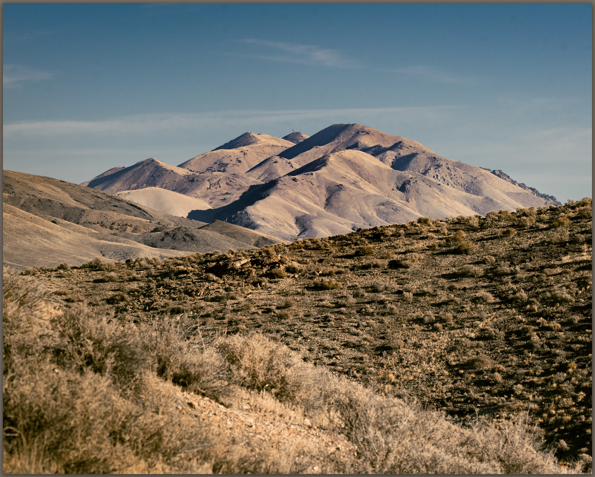
Sitting at dinner in Beatty, after our nice afternoon in the Bullfrog Hills, Darren and I decided we would explore another small range on our drive home. The Goldfield Hills are a jumble of irregular hills around the mining town of – of course – Goldfield, Nevada. Mine tailings, head frames, and shacks mingle around prospects, some active, most not.

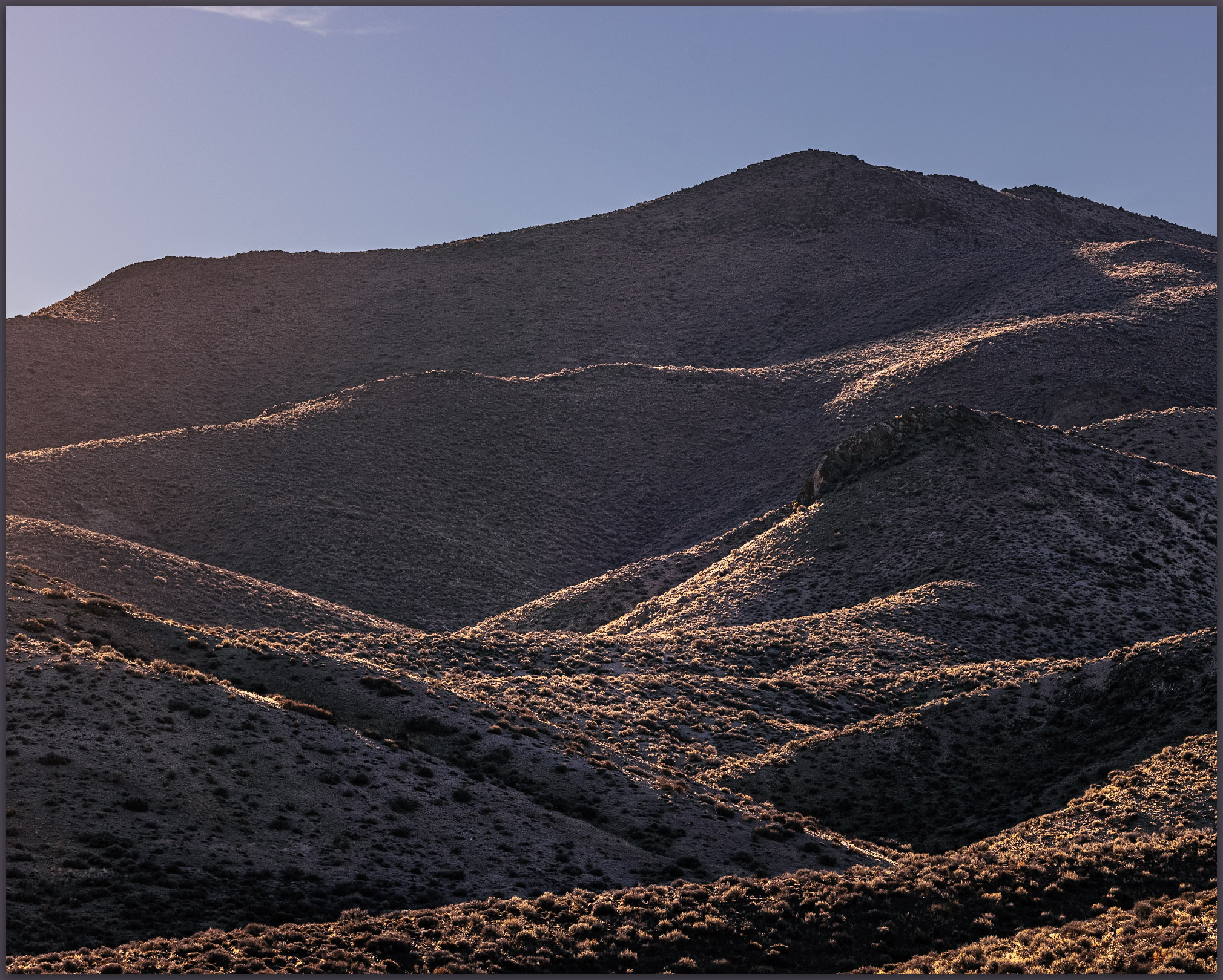
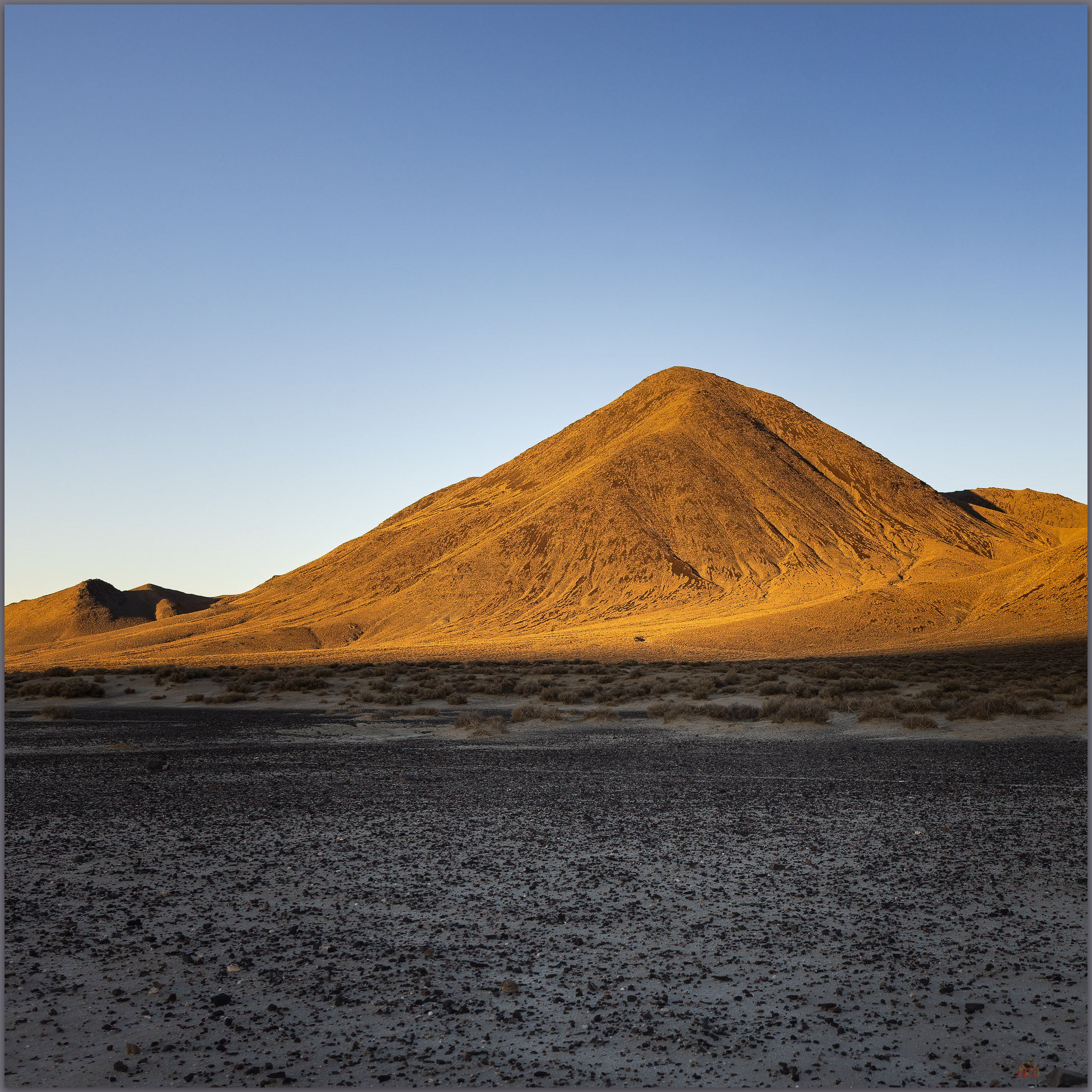
The thing about mining towns, those from the historic-era and otherwise, is that they are crisscrossed by a maze of roads. We turned off Hwy 95 on the margin of town and headed into the predawn among the Joshua Trees and tailings piles of all sizes. I had the high point coordinates in my dashboard Garmin with a background of topo maps; still, I took a wrong turn following a well-used road and missed the lesser track among the beaten down two-tracks. It was indeed a maze. We got it straight and worked our way to the base of Cole. Although it is not an impressive sight, the light of the early morning peaking from the east made it look worthy of a good walk.
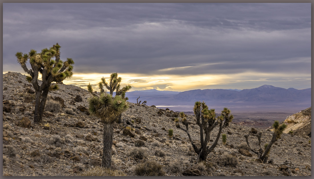
Joshua Trees at sunrise. Goldfield Hills, Mojave Desert, NV, USA
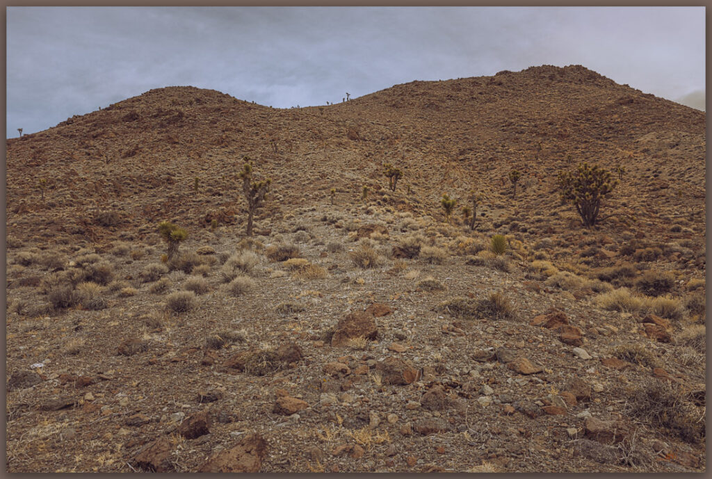
Dry approach. South-facing slopes of Cole, Goldfield Hills, Mojave Desert, NV, USA

We climbed a sparse ramp on south-facing slopes to gain a rocky ridge. For the first time we could see the great views that the high point provided; we had been somewhat sheltered in the mine-strewn hills only to crest above it all as we approached the summit. A false cairn, maybe an old mining claim, rested on a southerly summit, tricking us briefly. We found a low rock stack protecting the summit register a quarter mile further north. A cold wind picked up as the sun played in-and-out amongst some low-slung clouds. We had walked for less than an hour, but these small hills remain well worth it. Surprising us as usual.
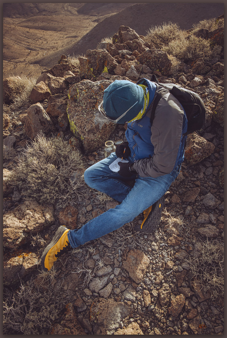
We’re there. Signing the summit register at Cole VABM, Goldfield Hills, Mojave Desert, NV, USA

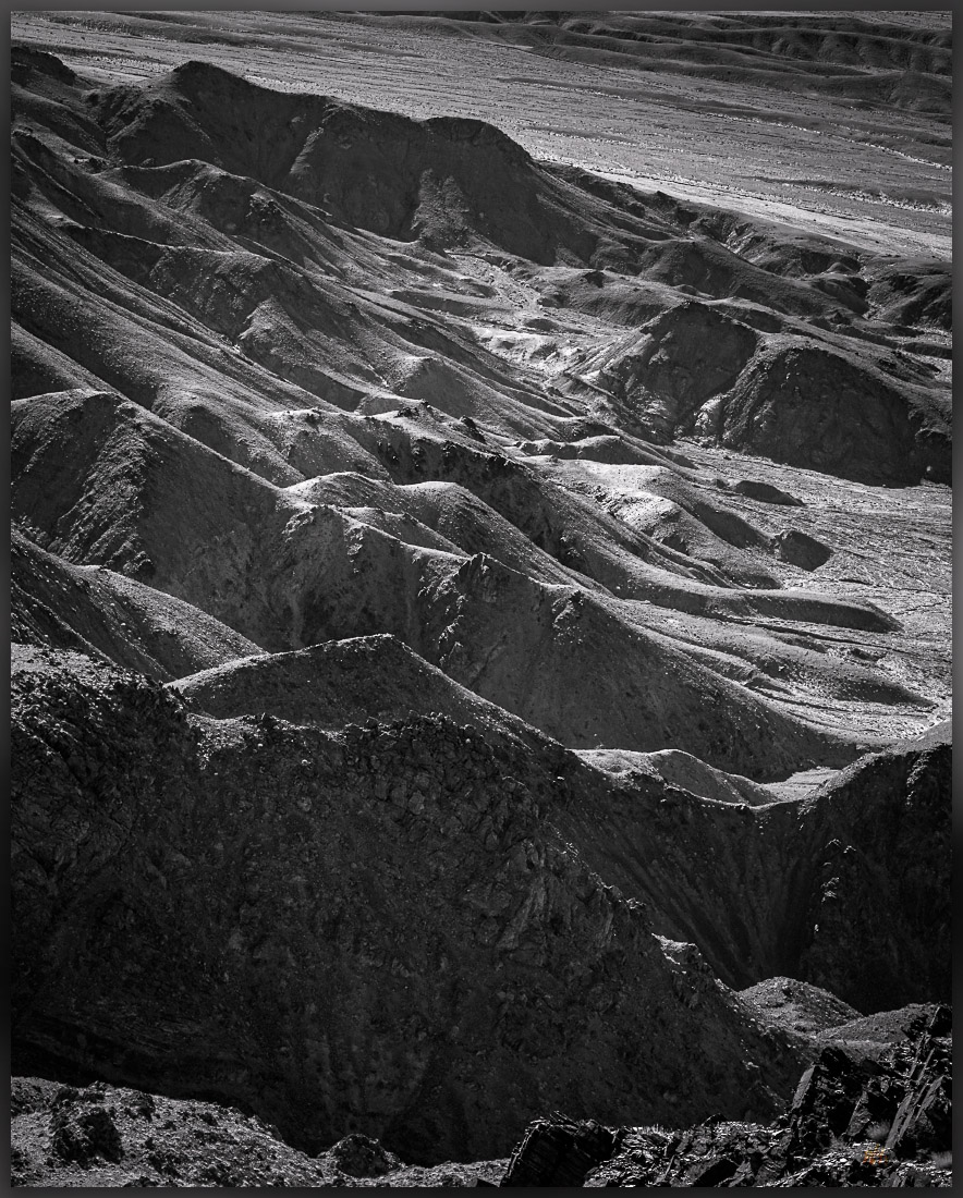
The summit ridge continues north and curves gradually west to form a crescent with a west-facing opening above a steep canyon that drops to quickly to the wash below. We descended the northwestern limb following steep steps to a low pass. The sun opened up nicely, but the wind kept any warmth away. We did not have far to go, however, as we wandered among tall Joshua Trees before entering a wash that led to the truck.

Goldfield Hills Image Collection

It was quick walk, basically a short detour on our way home. I have written many times that even short excursions to small hills are worth any detour necessary. Cole VABM at the top of the Goldfield Hills is no exception.

Keep going.

Nevada High Points #107 – Bullfrog Hills

D. Craig Young · February 19, 2023 · 2 Comments

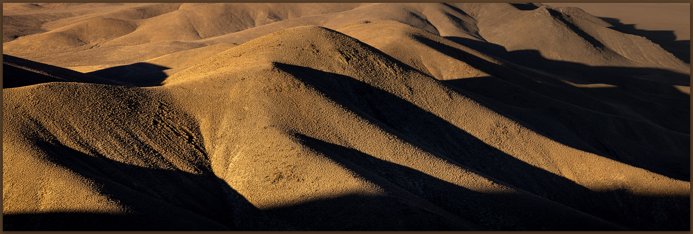
Alluvial fire. A fire scar on the north-facing alluvial fans of Sawtooth Mountain, Bullfrog Hills, NV, Mojave Desert, NV, USA
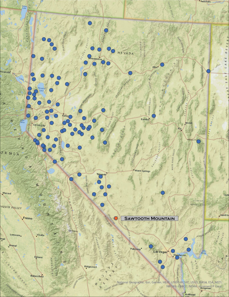
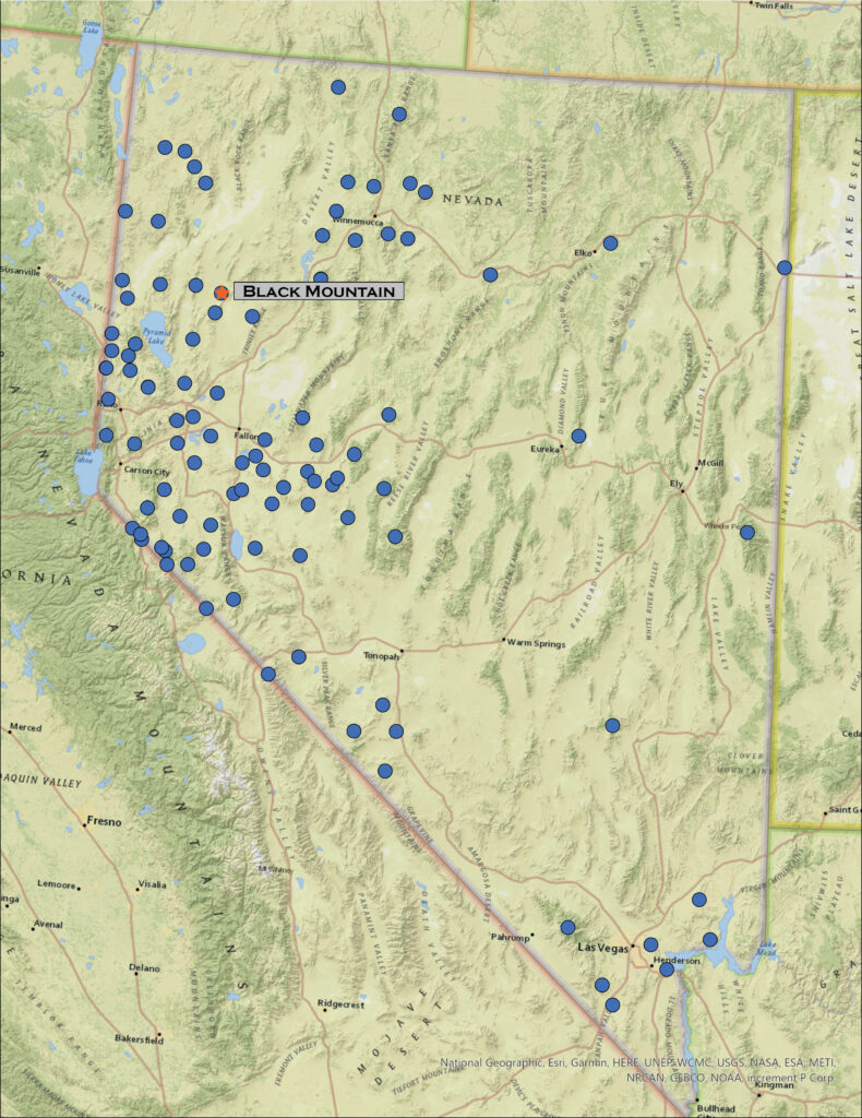
Map of Nevada highlighting Sawtooth Mountain in the Bullfrog Hills.

Sawtooth Mountain

6005 ft (1830 m) — 1438 ft gain

2023.01.13

Bullfrog Hills Image Collection


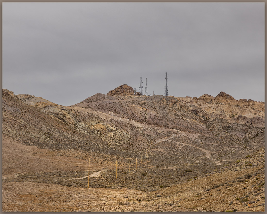
Towers. The unimposing high point of the Sawtooth Mountain hides beyond communication towers at the summit, Bullfrog Hills, Mojave Desert, NV, USA

I have been turned away twice from Sawtooth Mountain, the high point of the Bullfrog Hills near Beatty, Nevada. Dressed in a crown of radio towers, the Bullfrogs do not seem a formidable obstacle; there is even a road heading up their western side. They are, however, a bit of a puzzle.

My first try occurred in 2014 while I was in Beatty for a project on the Nevada Test Range, mapping a set of archaeological sites on the fans below Black Mountain. Trail running was my focus at the time, longer trail runs having diverted my attention from high points, and my run on that evening took me to the west side of the Bullfrogs. I followed the dirt road to the radio towers; elevation gain still a common goal of any outing. I had already decided, however, that I would run to the high point, my attention to summits remained unflagging. I found a ragged, rocky summit ridge with steep clefts and cracks carving the granitic block into the sawtooth of its name. As it grew dark, I tried to find a break in the cliffs. I could not, however, find a way to the top without some serious exposure, not something I would risk on a solo outing.

McLane only mentions one ‘Class 5’ summit in his review of ranges. Indeed, until now I could confirm that – I have been to the base of that summit block at Jumbo Peak in far southern Nevada, where the solo risk also turned me away, but he did not mention anything difficult about the Bullfrog Hills. I returned for a second try the following evening, but again the late-season darkness prevented me from a complete circle of the summit ridge. I did not make the top. Fooled again.

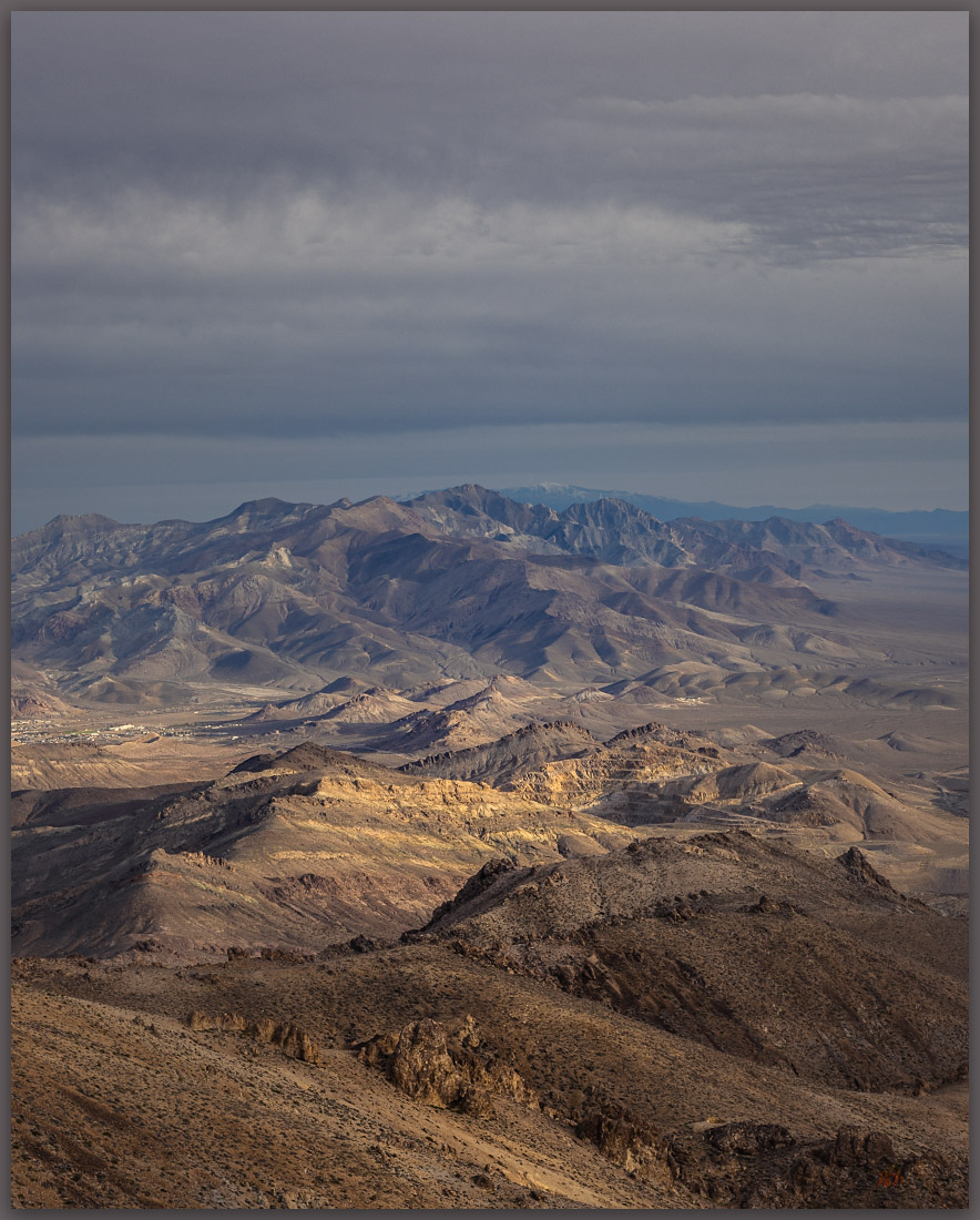
Beatty to Bare. Bare Mountain rises above the town of Beatty, Bullfrog Hills, NV, Mojave Desert, NV, USA
Tuff. Volcanic rocks at last light, Bullfrog Hills, NV, Mojave Desert, NV, USA

So here I was, eight years later for another try. Darren was with me, and we a few pieces of climbing gear just in case. I reviewed my memory of previous visits as we walked the road to the towers – not a compelling approach, but I had been here a few times, of course; the pleasant feeling of exploration was lost. I retraced my past steps below the summit outcrop, introducing Darren to the puzzle. Deciding it best to make a complete circle of the outcrops before taking out any gear, we stashed our packs and set out in opposite directions.

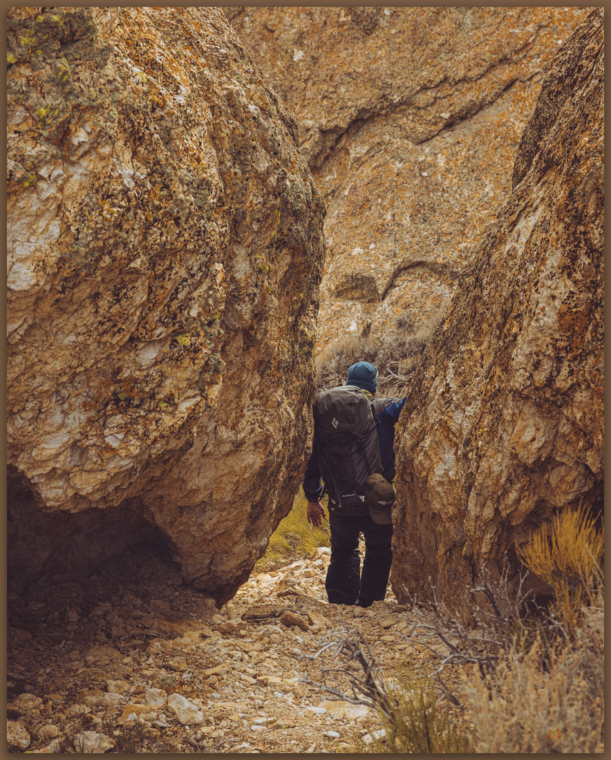
The cliffs rise from steep colluvial slopes with stone stripes and talus cones. Interesting alcoves undercut the outcrops and leaning boulders harbor sandy gardens of desert plants. Moving further east and north along the ridge than I had previously, I tried a few benches that followed seams and breaks in the bedrock. Each one terminated in an interesting but overly steep crack or overhang. Was it really this difficult? My technical rock-climbing days are long behind me, and I was not sure I really wanted to give that a go. And I had not seen Darren in a while.

Navigation. Darren finds his way between summit boulders, Bullfrog Hills, NV, Mojave Desert, NV, USA

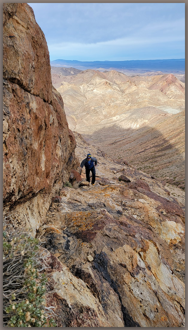
I finally found a faint but safe ledge that led to the northern base of the summit ridge. The views were great in all directions. I could see easy slopes below me but nothing breaking the wall above me from where I now stood. As I turned back, I saw I could take two high steps to access a narrow ledge and, with a couple other moderate steps, I was walking an easy ramp with nice exposure to the summit – not difficult at all, just needed to find the key.

The key. Darren finds the easy way, Bullfrog Hills, Mojave Desert, NV, USA

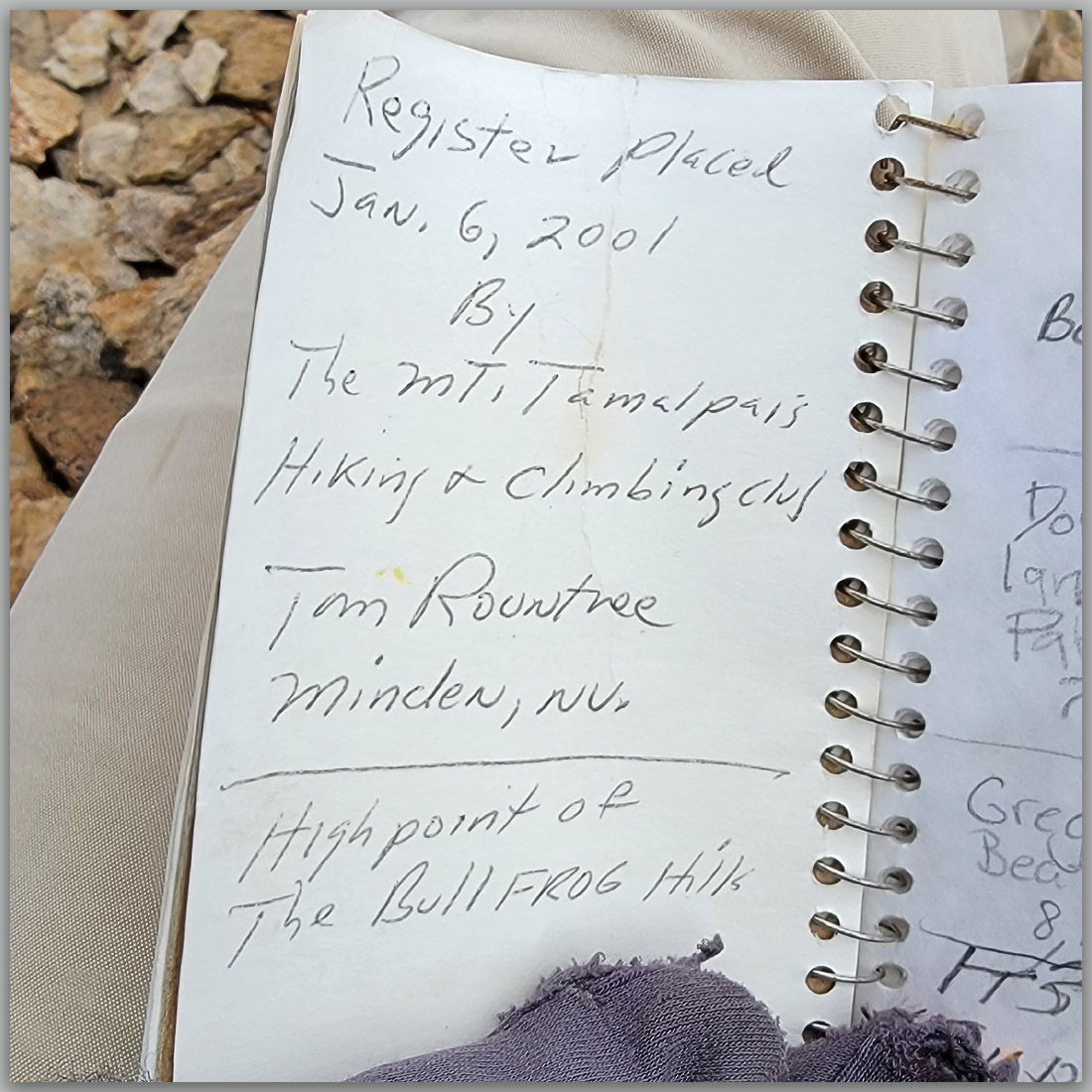
Darren was still working his way along the western cliffs, after following me on a couple dead ends on the east side. I eventually pointed him to the ‘hidden’ ramp at the north end, and we finally met on top. We had an agreeable laugh with a note in the register that read, “Finally found the easy way up.”

Register. Tom’s little notebook on the summit of the Bullfrog Hills, Mojave Desert, NV, USA
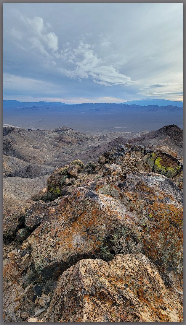
Summit ridge. I felt I had earned this rocky little summit, Bullfrog Hills, NV, Mojave Desert, NV, USA

Bullfrog Hills Image Collection

I have been thinking about persistence. Good work and creativity take practice, discipline, and determined patience. These, for me, are often hard to come by. But maybe I can take something from continuing my efforts in the Bullfrog Hills. Sawtooth Mountain, their high point, is not an epic pursuit, though it has good prominence over the arid headwaters of the Amargosa River. While relatively easy in the end, it was my persistence – and renewed passion for walking among the Nevada ranges – that finally led to success.

Keep going.
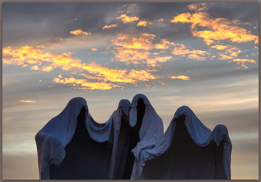
The figures. Szukalski’s sculptures at Rawhide, Mojave Desert, NV, USA
Inquiry. Szukalski’s sculptures at Rawhide, Mojave Desert, NV, USA

Nevada High Points #106 – Paymaster Ridge

D. Craig Young · January 24, 2023 · Leave a Comment

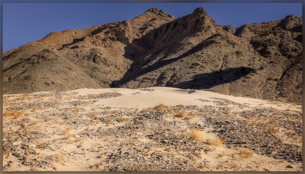
Canyon dune. Sand anchored on debris-flow fan, Paymaster Ridge, Great Basin Desert, NV

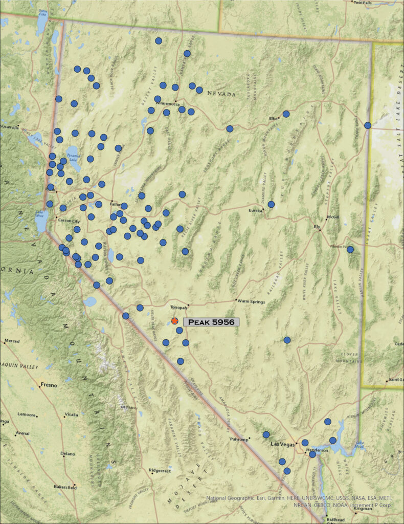
Joes Peak (Peak 5956′)

5956 feet (1815 meters) — 2300 ft gain

2022.12.09

Paymaster Image Collection


We missed a month – the move is complete, finally – but are in the Great Basin outback for December. It is another small set of hills as we head to Clayton Valley, a good winter excursion, to explore Paymaster Ridge. There is a cluster of named ranges here. In some ways the ranges are arbitrary; difficult to tell whether the named divisions are based on geologic structure, topographic prominence, or simply cartographic creativity. Paymaster is separated from the General Thomas Hills by a low pass, a topographic feature that is really a partially dissected, alluvium-choked valley forming a gap in the faulting that brings both sets of hills to some prominence. To the west, the Weepah Hills and Lone Mountain loom over these small hills, attracting our attention to future excursions.

Darren and I traverse the evaporative mines of Clayton Valley along the Silver Peak Road. This road leaves US 95 just north of Goldfield and rejoins it near Coaldale, or vice versa, and is an interesting ‘long-cut’ when traveling between Las Vegas and Carson City. Although the segment through the valley bottom is improved dirt – and unattractive unless you like mining berms, the bounding hills and ranges, along with eye-catching volcanoes, make it an interesting change from the expanse of Tonopah (you will be skipping the services of Tonopah, so plan accordingly, but it is a nice change once in a while). We turn north along the western front of Paymaster Ridge, heading north toward Twin Springs and Pearl Hot Springs, the latter of which I had planned as our start point. This semi-improved track soon turns adventurous as a series of linear dunes, anchored on the topographic change that the road provides, block any quick progress. We roll over several but then encounter some coalesced dunes and sheets and decide to park and get walking – no need for intrepid driving today. I would have liked to visit the springs, but today’s goal is upward to the east.

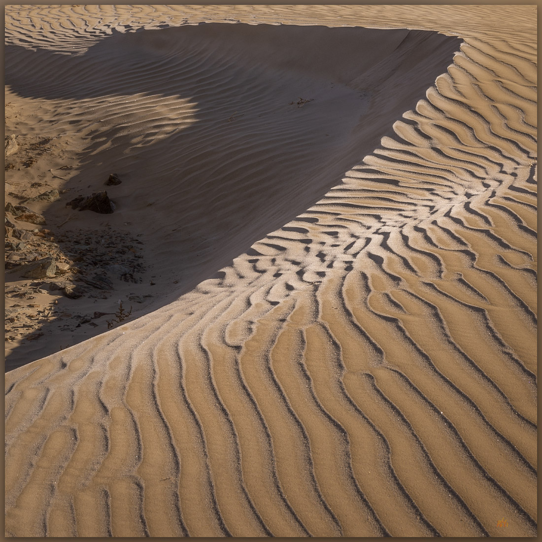
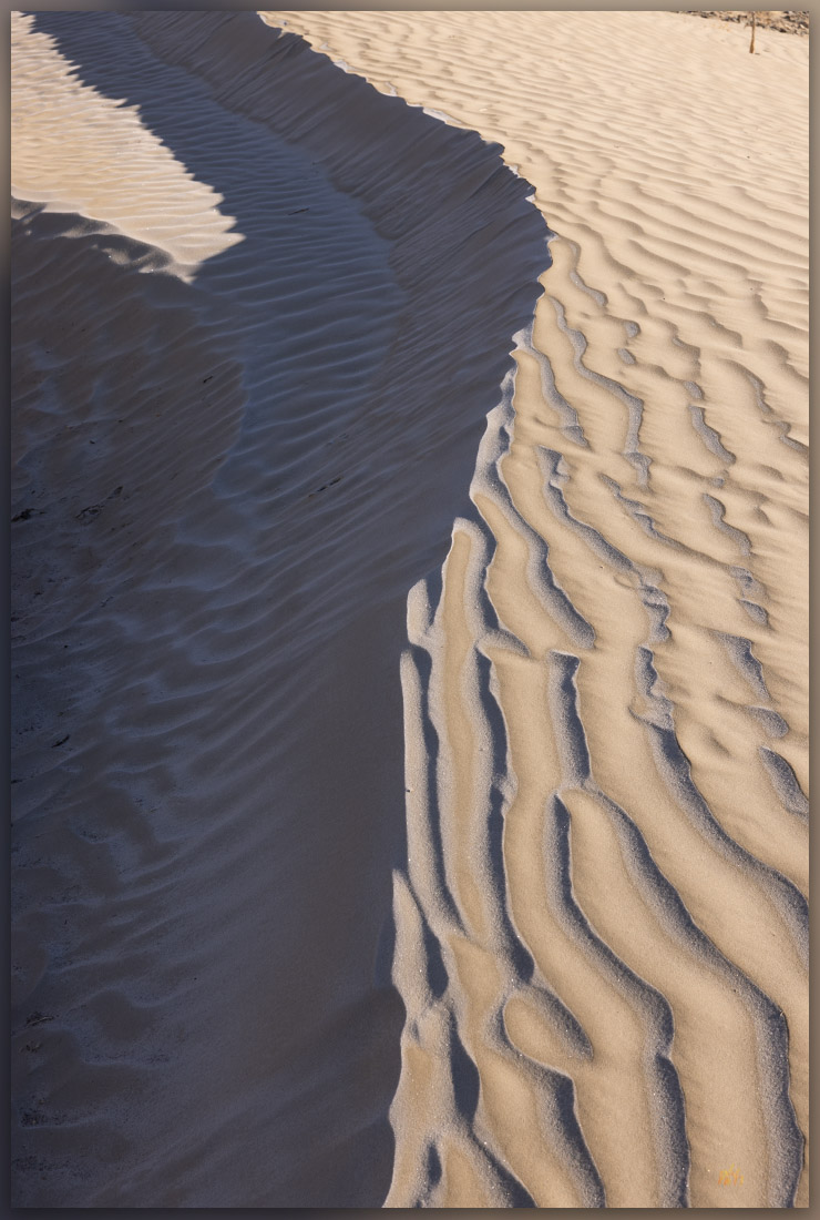
Slip face. Active dune overtakes its parent, Paymaster Ridge, Great Basin Desert, NV
Generations. Aeolian dune migration overtakes its sand source, Paymaster Ridge, Great Basin Desert, NV

We hike to a nice dune that has settled on the undulating topography of debris flows and rock levees that emanate from an unnamed canyon. The rippled dune is crystalline in the early light with only the tracks of a kangaroo rat as evidence of life in this dry habitat. Past the dune we enter some fabulous, vertical canyons with blind turns, chockstones, and a few dry falls. The occasional summer storm must be exciting in here. No sign of water today, and yet we are surrounded by its evidence. We pick a northeast-trending opening and gain elevation quickly, weaving among outcrops, steps, and talus-filled gullies. We are soon a faulted plateau following burro tracks toward the broad hilltop that is the highpoint of Paymaster Ridge – also known as Joes Peak.

Wind runs. Barchan dune-forms in Clayton Valley, Paymaster Ridge, Great Basin Desert, NV

A small cairn marks the summit. Alkali Lake, the least imaginative and over-used, however accurate, placename in the Great Basin, dominates the basin of Montezuma Valley as it stretches toward Tonopah. The White Mountains to the west are aptly named, at least once the seasonal snows come to the western Great Basin. Boundary Peak, the highest summit in Nevada, sits lost at the northern tip of the Whites – home of the ancient bristlecone pines. Here on Paymaster, however, there are only scattered shadscale shrubs among the platy shale outcrops with juniper woodlands colonizing the Weepah Hills and Lone Mountain to the north.

Siliciosity. Reflective tilted beds in the Paymaster Ridge, Great Basin Desert, NV

It is another blazingly clear day. I need to think differently if I am going to move beyond simple documentary photography in the stark and arid landscape we inhabit on these highpoint excursions. So, three related goals for future highpoints: 1) slow down – I am out here for the experience, so being overly summit-driven impedes creativity and learning; 2) get to highpoints earlier or later in the day, stop hoping for skies to get interesting and use the morning and evening light when it is often (subjectively) at its best; and, 3) while the expansive vistas are seductive and certainly have a dramatic, often stark, beauty, look for the small details that make each walk unique. These are not mutually exclusive,  they are all generally tied to slowing down. I have noticed an obvious connection to better imagery when I camp near my chosen route, even if the route results in a fairly brief outing to the actual highpoint. I should try an occasional bivouac as part of an excursion, immersing myself in the changes the overnight brings. This might also provide opportunities for gathering and presenting other media types (planning required); so I will add that as a fourth goal. Yes, my goal for 2023 will be to slow down and reap the creative and mindful benefit of engaging deeply in the basins and ranges that are Nevada.

Paymaster Image Collection

We trace our track back into the canyons, dodging a few dry falls where steep knickpoints make for tricky downclimbing. It is early afternoon, and the temperature has not broken through the freezing mark but with no wind, the day is a pleasure. The truck sits on the sandy fan where we drop our light packs and look back at our route, now lost in the overlapping, creased stratigraphy of the west face of Paymaster Ridge. We will begin to consider our new goals as we hit the highway for our drive home.

Keep going.
Nevada High Points #105 – Sinkavata Hills

D. Craig Young · January 21, 2023 · Leave a Comment

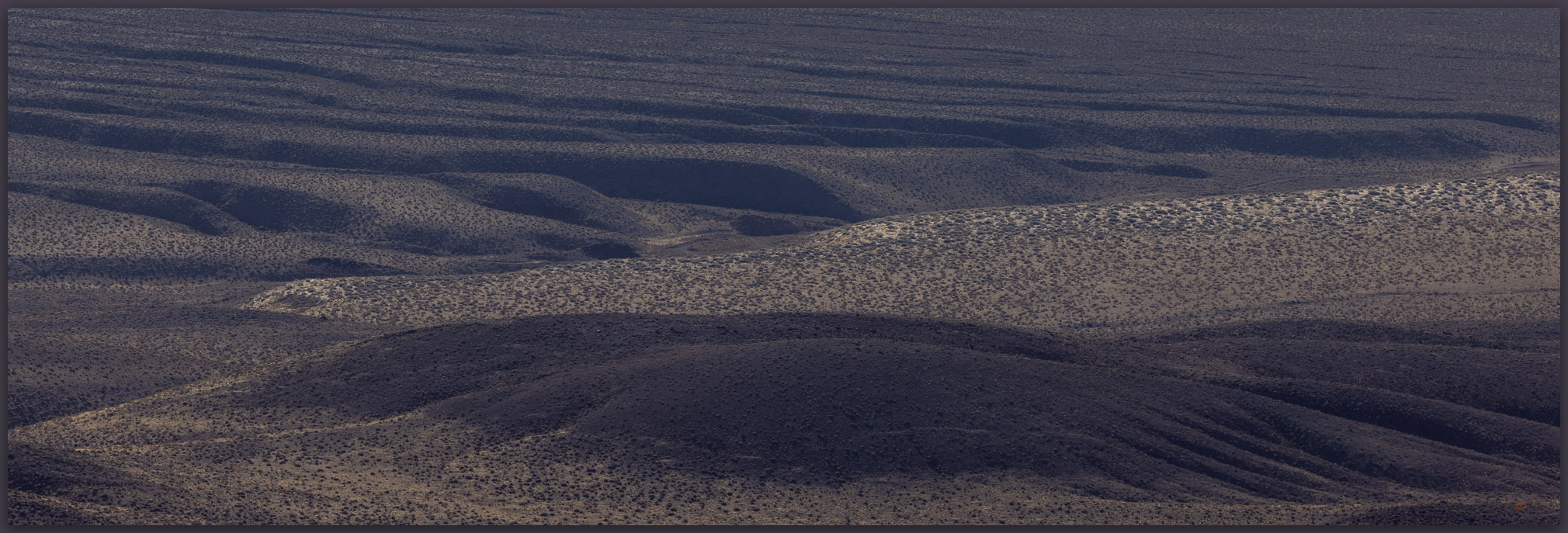
A bajada. Coalesced alluvial fans of the western front of the Monte Cristo Mountains, Great Basin Desert, Nevada, USA

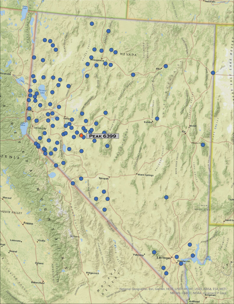
Peak 6399

6399 ft (1950 m) — 1590 ft gain

2022.10.30

Sinkavata Image Collection

Sometimes you must go to the desert.

We are in the middle of a rather drastic change. Although we may have been leaning, at least occasionally, toward simplifying what and where we call home, we had rarely considered really doing anything. And then, last month, our leanings turned into a full-on run as several coincidental details led to the sale of our Gardnerville home and purchase of a much smaller property in Carson City – if only it had been in that order, we purchased before we sold. Although we are certainly fortunate to be able to do such a thing, the stress and distraction of negotiation realty and planning a move is all-consuming. We fear we have lost touch with who we are – “Why can’t we spend a normal day together,” has become a common refrain among cheers and a few too many tears. Have we made the correct decision?

So, after a bit of closure on the move, at least as far as having a nice offer and solid moving day next month, I awoke well before sunrise and, with relief, drove east into the desert of the western Great Basin. One benefit of Nevada’s multitude of named ranges (325 on my list) is that there are many smaller sets of hills and relatively low mountains that I can save for quick approaches with relatively little planning.

Peak 6399. The Sinkavata Hills highpoint rises above Little Bell Flat, Great Basin Desert, Nevada, USA

The Sinkavata Hills are small group of volcanic bumps and outcrops north of Rawhide Flat and south of Fairview Peak in west-central Nevada. I have often forgotten about this small group of hills even as I gouged around adjacent basins. After circumventing NAS Fallon’s B-17 Range, which takes up much of Fairview Valley south of Highway 50, I turned off the pavement onto a relatively easy two-track into Little Bell Flat. The sun emerged above the Sinkavata Hills as I bounced easily along, the cold autumn sky free of clouds; it is the first morning below freezing this fall. I could feel the day warming, however, as I walked from the truck, traversing a set of alluvial fans and washes to gain a sandy drainage that originated in the outcrops above. I would follow this.

Dry washes. Looking back on the short, dry walk from Little Bell Flat, Great Basin Desert, Nevada, USA
Fairview Peak. Fairview Peak stands above the north end of the Sinkavata Hills, Great Basin Desert, Nevada, USA

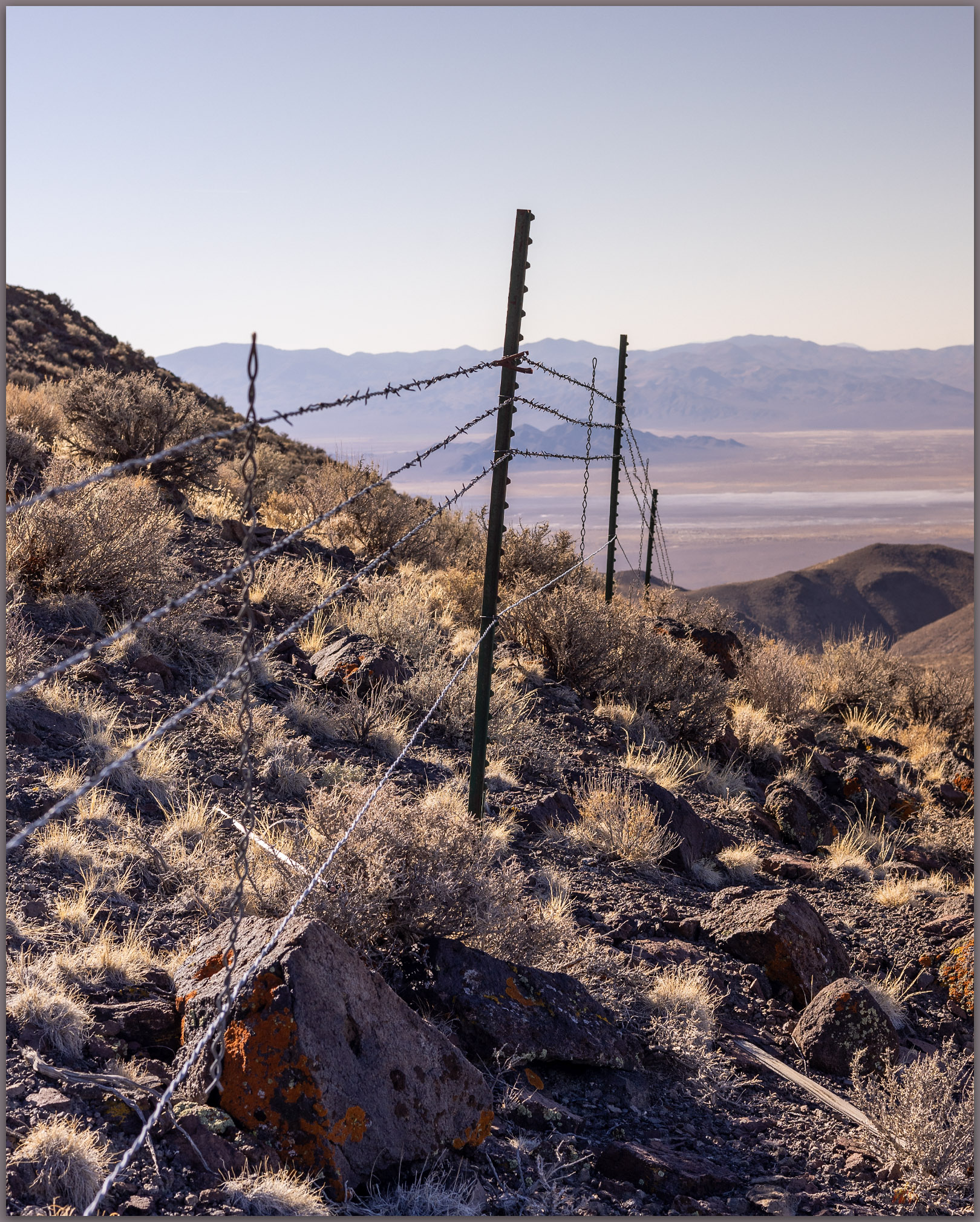
I wandered among tuffaceous outcrops, banded on this west-facing slope, for a couple miles before negotiating a steep cleft in a small summit band of volcanic rocks. A barbed-wire, drift fence, likely separating grazing allotments, surprised me on the upper slope. It seems relatively new. I can drop my pack and crawl under easily enough, but I am often perplexed by these expensive and hard-earned boundaries. I do not suppose they are arbitrary – I have worked with the local agencies enough to know the difficulties of range management – but I often think these might be better-placed around springs and other sensitive habitats rather than draping the high-country ridges and summits. At least the newer fences have a barbless lower wire so that pronghorns, coyotes, and others can duck under to move about their home ranges – as I squeeze under, I also appreciate it, and, yes, I am at home here.

Strands. A drift fence in the altered wild of the Sinkavata Hills, Great Basin Desert, Nevada, USA
Summit cairn. Summit cairn and register jar at the top of Peak 6399, Sinkavata Hills, Great Basin Desert, Nevada, USA
Gabbs Valley distance. The long view to the southeast of Sinkavata Hills, Great Basin Desert, Nevada, USA

As with many of the otherwise forgotten hills, the summit views are wonderful. The larger ranges crease every horizon. The glaring sky pushes my photo compositions toward the ground but I am relatively uninspired – I need to move beyond this. This is my landscape, the altered wild with its hard sky, muted color, and elusive beauty. I can feel it in the crisp calmness of the summit rocks, how do I see and express it.

Sinkavata Image Collection

Autumn remains. A rabbit brush holds its remnant flowers and color in late October, Sinkavata Hills, Great Basin Desert, Nevada, USA

I drop quickly from the summit to the drainages below the west outcrops, volcanic flows that reach to the low hilltop summit. It is a nice walk through the sandy drainages to reach the water trough that rests in the northern reach of Little Bell Flat. It is good to be out, quietly alone, among the hills of the Great Basin. The Sinkavata Hills are not obvious on any map, they do not have prominence, but they can bring mindful quiet to an otherwise noisy and restless autumn. It is good to be out, if only briefly.

Keep going.
Nevada Highpoints #104 – Bluewing Mountains

D. Craig Young · October 29, 2022 · Leave a Comment

Foothills. Bluewing Mountains, Great Basin Desert, NV

Black Mountain

6617 ft (2017 m) – 2205 gain

2022.08.12

Bluewing Photo Collection


It’s hot. The sky is clear, and a parched blue horizon rests abruptly on the dusty brown of the Nevada desert. It is August, of course, when desert landscape photography is a challenge. It’s difficult to think about photography or exploring another high point when the heat is so seemingly relentless. It also seemed I could not escape from work today, so my departure moved later and later, and I considered turning around for home even as I approached my turn-off along the southern margin of the Black Rock Desert playa. I cannot, however, let the noise of the day-to-day get so overbearing that I can’t find rest in the wild. I turn south toward Bluewing Playa and begin to feel better – putting the scurrying activity of the pre-Burning Man busy-ness at Gerlach behind me and going into the quiet lonesome of Bluewing, a metaphor for the seemingly hectic week that was. I won’t see another vehicle until I reach the highway tomorrow afternoon.

Monsoon remnant. Bluewing Playa, Great Basin Desert, NV

I roll through beach lines of pluvial Lake Lahontan and drop into Kumiva Valley where sandy pediments and alluvial fans extend in a broad flat to the playa below Black Mountain, the high point of the Bluewing Mountains. If this basin held a pluvial lake it only filled a shallow pan before overflowing to Granite Springs Valley to the east. I need to spend some more time here when the days are not so hot.

Bluewing Playa. Limbo Range to the west, Great Basin Desert, NVq

A dusty plume follows until I turn slowly onto a bare two-track that leads to the southern margin of Bluewing Playa. There are a few puddles, surprisingly, but I remember that we had some productive monsoonal storms a few days ago and they clearly tracked across this valley. Feral donkeys stare as I pass slowly by. The playa is dry, and I set camp near the base of Black Mountain, letting the heat seep into every movement; I look toward evening for cooling respite.

Black Mountain, Bluewing Mountains, Nevada, highpoints, summits
Black Mountain. High point (#104) of the Bluewing Mountains, Great Basin Desert, NV

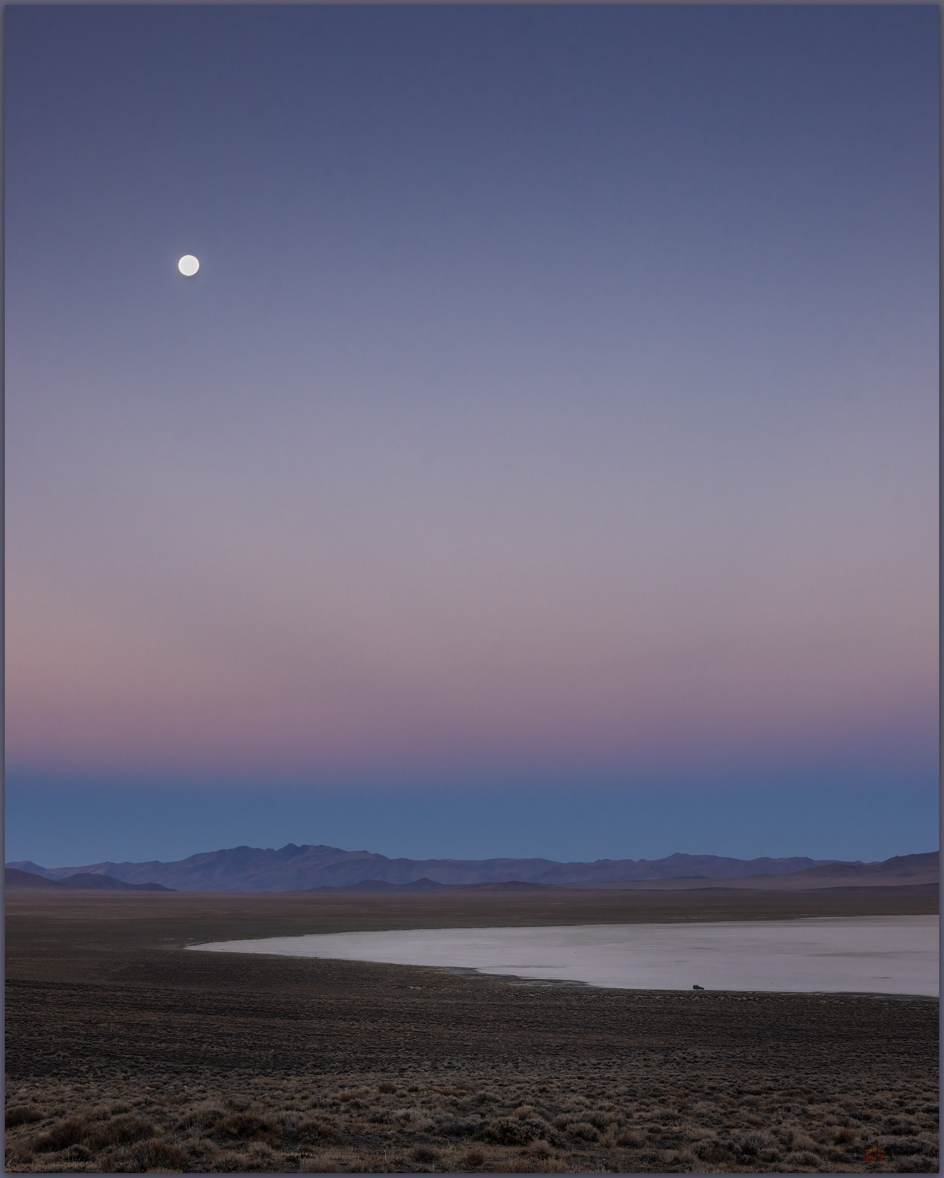
Black Mountain rises abruptly, reaching 2000 feet of prominence above the basin floor. Sitting in the shade of the camp-trailer I plot a steep route to the summit, mapping a sloping descent off the backside of the mountain. I’ll leave in the pre-dawn and hopefully beat the sun at the beginning of yet another scorching August day. Night falls and there is some relief, the southerly breeze stays warm but at least there is movement. I wait in perfect quiet as the moon rises, racing its own shadow along a band of light and dark that moves west to east across the playa. When it arrives at camp, the moon practically jumps above the horizon. Sleep comes surprisingly easy as I listen to the desert silence, the quiet only broken by the rare breying of a donkey far off in the valley – maybe they trail to the remnant pool of monsoon runoff on the playa’s northern margin.

Earth shadow at Bluewing Playa. Great Basin Desert, NV
Mountain shadow. Walking the southern limb above Bluewing Playa, Great Basin Desert, NV

I am awake in the darkness of early morning, brewing coffee and preparing a quick breakfast to fuel the walk. It is cross-country from the playa edge, crossing a set of silt dunes before ascending a gently sloping alluvial fan that emanates from a canyon below the steep southern backslope of Black Mountain. I don’t need my headlamp because the moon lights the way and there is little to impede forward progress on the sparsely vegetated fan. A bat flits randomly in front of me and disappears. I turn into the mountain’s rise as get due south of the summit. I worry briefly that I might encounter scree-sheets of colluvial talus that could impede upward movement, but the talus cones are inter-locked nicely and the clasts provide relatively easy steps. Hands are required occasionally but upward momentum is good, and I climb quickly. The views are splendid even if the clear skies show neither depth nor drama.

Armored talus. Black Mountain, Bluewing Mountains, Great Basin Desert, NV
Rills. Bluewing Mountains, Great Basin Desert, NV
Outcropping. Bluewing Mountains, Great Basin Desert, NV

I move from outcrop to outcrop, skirting scree and talus where I can. Preparing for the coming heat, I reward myself with a good drink of water with each outcrop. I can almost walk steady as the upper slopes begin to lay back, so I work in little switchback to reach the northwestern ridge to look over the full extent of the playa, my camp a small speck on the playa edge. I break over the summit to meet the sun with a vast panorama of hills and valleys. I can see far south toward the Virginia Range above Reno, into the eastern distance beyond the Trinity and Humboldt Ranges, and Granite Peak towers in the north – I’ve attempted Granite Peak previously only to be snowed out, its summit pulls at me once again.

Bluewing Photo Collection

The walk off the east side is gradual and an easy pleasure. I am soon back in the south-side canyon that feeds the fan above my little camp. I have timed the excursion well; the morning is still relatively cool as I return to camp and begin preparations to roll out. It is a short outing, though I will have some time to gouge around the playa margins and explore the overland tracks eastward into Granite Springs Valley. I want to retrace a route to Highway 80 via Ragged Top and Toulon. There are several additional high points to explore in ranges of the ‘Bluewing Triangle’, that vast space between the Black Rock, the Humboldt River, and the Pyramid Lake highway. It’s a lonely, desolate space, precisely why it is such a pleasure to experience. The triangle remains.

Keep going.
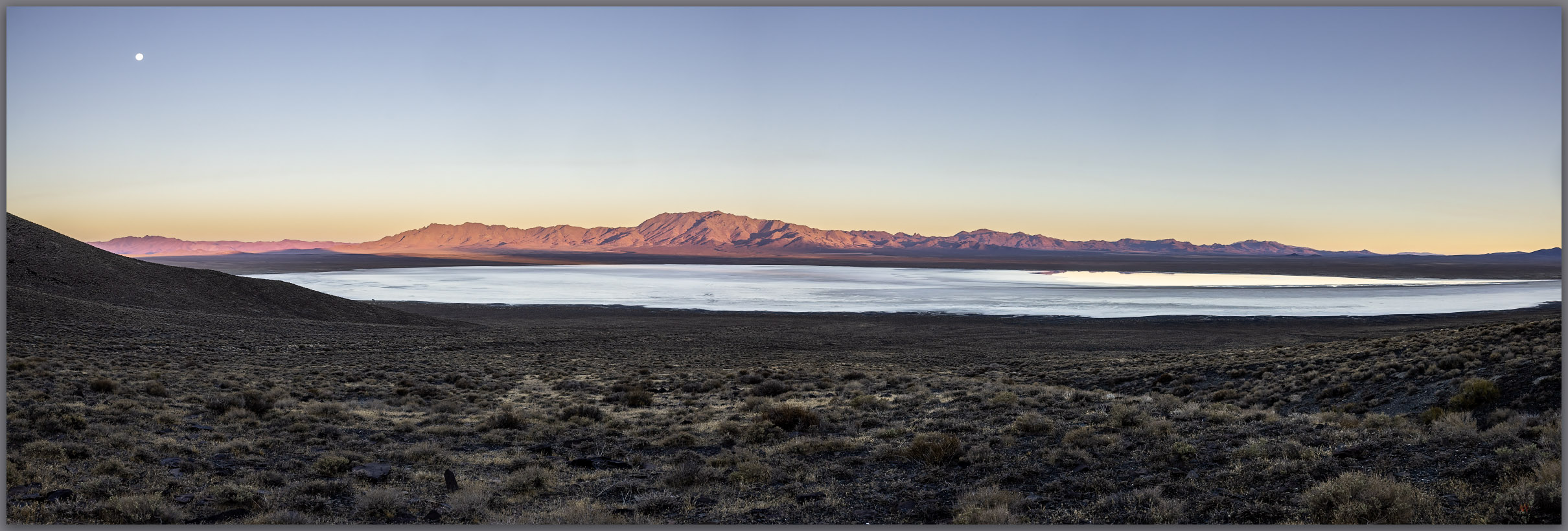
Heat waves. Bluewing Mountains and eastward beyond, Great Basin Desert, NV

Please respect the natural and cultural resources of our public lands.

#naturefirst #keepgoing

  • « Go to Previous Page
  • Page 1
  • Interim pages omitted …
  • Page 4
  • Page 5
  • Page 6
  • Page 7
  • Page 8
  • Interim pages omitted …
  • Page 19
  • Go to Next Page »

Trail Option

Copyright © 2026 · Monochrome Pro on Genesis Framework · WordPress · Log in

  • Contact TrailOption
  • Substack
  • Waypoints Bibliography
  • Young Archives