• Skip to primary navigation
  • Skip to main content

Trail Option

A personal geography of landscape and place, art and geo-science.

  • Home
  • TrailOption Blog
  • WayPoints
  • Galleries
  • About
  • Contact TrailOption
  • Subscribe!
  • Show Search
Hide Search

landscape photography

On the circuit in Torres del Paine National Park, Patagonia, Chile

D. Craig Young · April 12, 2022 · 2 Comments

Patagonia morning. The idyll of Puerto Natales, Patagonia, Chile

In January, I had the good fortune to travel to Chile with my good friend, Bill Bloomer. We planned this after the rise-and-fall of Covid’s delta variant thinking that, just maybe, the window would remain and, with due care, we could wander a few distant places once again. And then there was omicron.

Click here for Patagonia Image Collection

I have already given our decision away. With our triple-play of vaccinations and several tests of various varieties, we left the winter of northern Nevada to find summer in Santiago, Chile. After a few days acclimatizing to the new season – really an unneeded, built-in buffer in case of travel delays, we flew to Puerto Natales to meet up with the other three members of our trekking party and our two guides. Once oriented, we caught a van to the entrance at Torres del Paine National Park and, almost immediately, started walking. It would have been hard not to; the magnetic beauty of the Torres pulling us forward.

A glimpse. The towers of Cerro Torre peek above the moraine, Torres del Paine National Park, Chile

We were there to hike the O Circuit, eighty-six miles, give or take, circumnavigating the park over eight days. It is basically a hut-to-hut or camp-to-camp daily walk, with all parties traveling in a counter-clockwise direction. The O Circuit incorporates the well-traveled and somewhat more popular “W”, where travel is a bit less regulated given its possibilities of relatively easy access and multiple variations. While the “W” offers up the requisite highlights of Torres del Paine, the “O” provides a full-immersion trek, accessing the park’s wilder backcountry on a single-track path of diversity and, indeed, sublime experience. Only a climbing expedition into the high glaciers, ridges, and walls would be more remote.

El equipo del senderos. Torres del Paine National Park, Chile

Our group, unknown to each other prior to our rendezvous in Puerto Natales, consisted of a nicely diverse group of experienced hikers. Although our previous hiking resumes varied from demanding day-hiking to month-long jungle excursions to backcountry mountaineering to multi-day Himalayan treks, we bonded with each other easily over the first few days but had taken to our two wonderful Chilean guides immediately. We could not have been more fortunate getting to know Karina and Andrea.

Walking among mountains II, Torres del Paine National Park, Chile

I was there to experience the mountains of Patagonia and hoped to follow dramatic light among peaks I had dreamed of since I first flipped through climbing magazines in high school. I no longer crave the technical climbs, but as a wanderer and photographer, I still sought the experience of nature’s light – cool or warm, drama or subtlety – along the trails and hills in front of me. I was soon immersed in the pleasurable pace of our point-to-point hikes. I did, however, find it difficult to get into the mindset of photography. First, with two exceptions, we had mostly sunny days filled with blue skies; wonderful days for walking and absorbing the beauty of the boundless expanse of Torres del Paine, but difficult days for creating compositions that would express the feelings of that expanse. Also, we did have to keep a basic daily schedule, whether hiking seven miles or fourteen. The camps – whether in bunkhouses or tents – provided all the provisions we needed, wonderfully throughout the trek – luxurious in a Chilean backcountry way. This afforded the opportunity to get out early and stay out a little late, but I struggled for focus in these places unknown to me. I would generally wander along at the back of our group, watching for birds and admiring the variety of habitats and landforms along our trail. It was always so good. The trail sections were not difficult, although the steep, bouldery and brushy drop from John Garner Pass into the valley of Glacier Grey was an exception. This took a good all-day effort, a pleasure nonetheless.

On two days, however, the drama of Patagonia reigned. On our first-day foray into the Rio Ascencio we followed a storm that prevented any visit to Lago Torres at the foot of the iconic pinnacles. The clearing storm hinted at the power the atmosphere ripping between two oceans. Then calm set in, for days. Finally on our penultimate day, and fortunately as we traversed the foot of the Paine Grande to climb in the French Valley, drama returned. It was perfect – wind-driven squalls tore at my jacket and pack, trees slashed and were suddenly calm, avalanches thundered from Paine Grande, and dark clouds cut among the peaks where sunlight flashed rainbows to light the granite walls. So perfect, that for long moments I could not hold back tears – the light, wind, and rain overwhelmed me so simply that I had to pause in the perfect emotion, for long moments the beauty surrounding me was beyond words and my eyes were literally full. My favorite images come from this day.
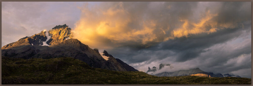
Paine Grande. Sunrise and approaching rain, Torres del Paine National Park, Chile
A light rain. Early drama on the edge of Los Cuernos, Torres del Paine National Park, Chile
Hanging blue. The hanging glaciers of French Valley peak from the storm, Torres del Paine National Park, Chile

I should have anticipated this. The day prior a Chimango Caracara (Phalcoboenus chimango) played with me on the footslopes of Paine Grande. The Chimango is a common falcon here, but her eyes seduced me into believing she was the only thing worthy of attention. She inquired into my presence and finally released me back to the trail. The storm was coming and maybe that was the message she stared into me – why would I be there if not to experience her mountain. Silly stuff, but I am keeping it with me for a while.

Eyes of Chimango. The Chimango Caracara visits the trail, Torres del Paine National Park, Chile

Click here for Patagonia Image Collection

The best thing about the O Circuit is that it gets better each day. It soothes you into rolling hills along floodplains of the Rio Paine. It climbs into glacial lakes that yesterday only peaked from the bases of massive glaciers and icefields. It wanders through beech woodlands to dance at the foot of waterfalls cascading from the backs of the Torres. Astounding hanging valleys of Glacier de los Perros and Glacier Amistad Glacier culminate at John Garner Pass overlooking Glacier Grey and the South Patagonian Icefield (the second largest, non-polar, contiguous expanse of ice). From Glacier Grey, one is led to the foot Paine Grande and into the drama of French Valley – the “W” is joined at Glacier Grey, its arms reaching into adjacent valleys. The black-capped Cuernos rise above Lago Nordenskjold as the O closes back at Rio Ascencio. If someone planned the required counter-clockwise circuit, it had to be with this sublime build to closure. A perfect trek.
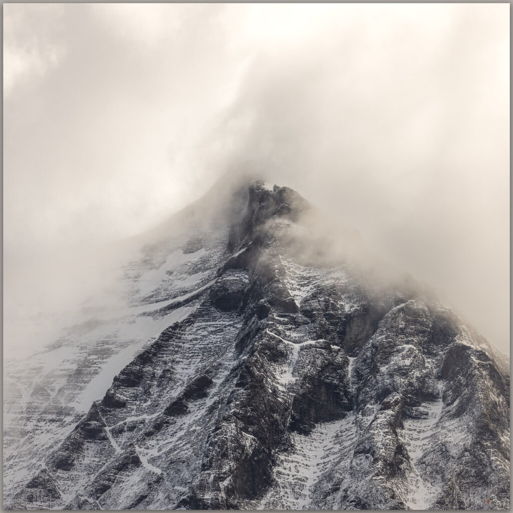
Attention. This ridge held my gaze throughout the day, Torres del Paine National Park, Chile

Over the next few weeks, I hope to present a ‘behind-the-image’ for a photograph taken on each day of the circuit. It will augment this Patagonia Collection, which also may evolve as I continue to digest this group of 50 or so images from a wonderful experience – ultimately culling these to a ‘calendar’ portfolio of a dozen or so prints. Thanks to Bart, Bill, Rosalind, and Sarah; it was such a pleasure. Utmost thanks to Karina and Andrea for sharing their homeland with us, it was an honor to walk, learn, and laugh with you.

Keep going.

Please respect the natural and cultural resources of our public lands.
#naturefirst #keepgoing

Nevada High Points #99 – Cocoon Mountains

D. Craig Young · March 19, 2022 · 3 Comments

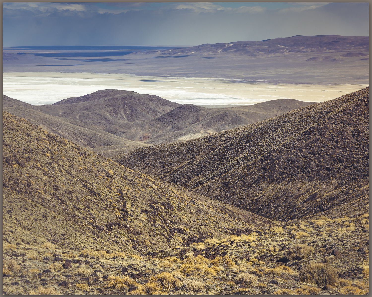
Shoreline features. Intersection of strandlines and the pavement of lacustrine badlands, remnants of pluvial Lake Lahontan on the lower slopes of the Cocoon Mountains, Great Basin Desert, NV, USA

Alkali VABM

6104 feet (1860 meters) – 2700 feet gain

2022.03.13

The forecast promised wind, and the day delivered. Although we drove into early morning darkness, an eastern glow of dusty skies preceded with the coming sun. Robert, my son-in-law, joined me on this one-day journey to the Cocoon Mountains, pushed by a trailing wind.

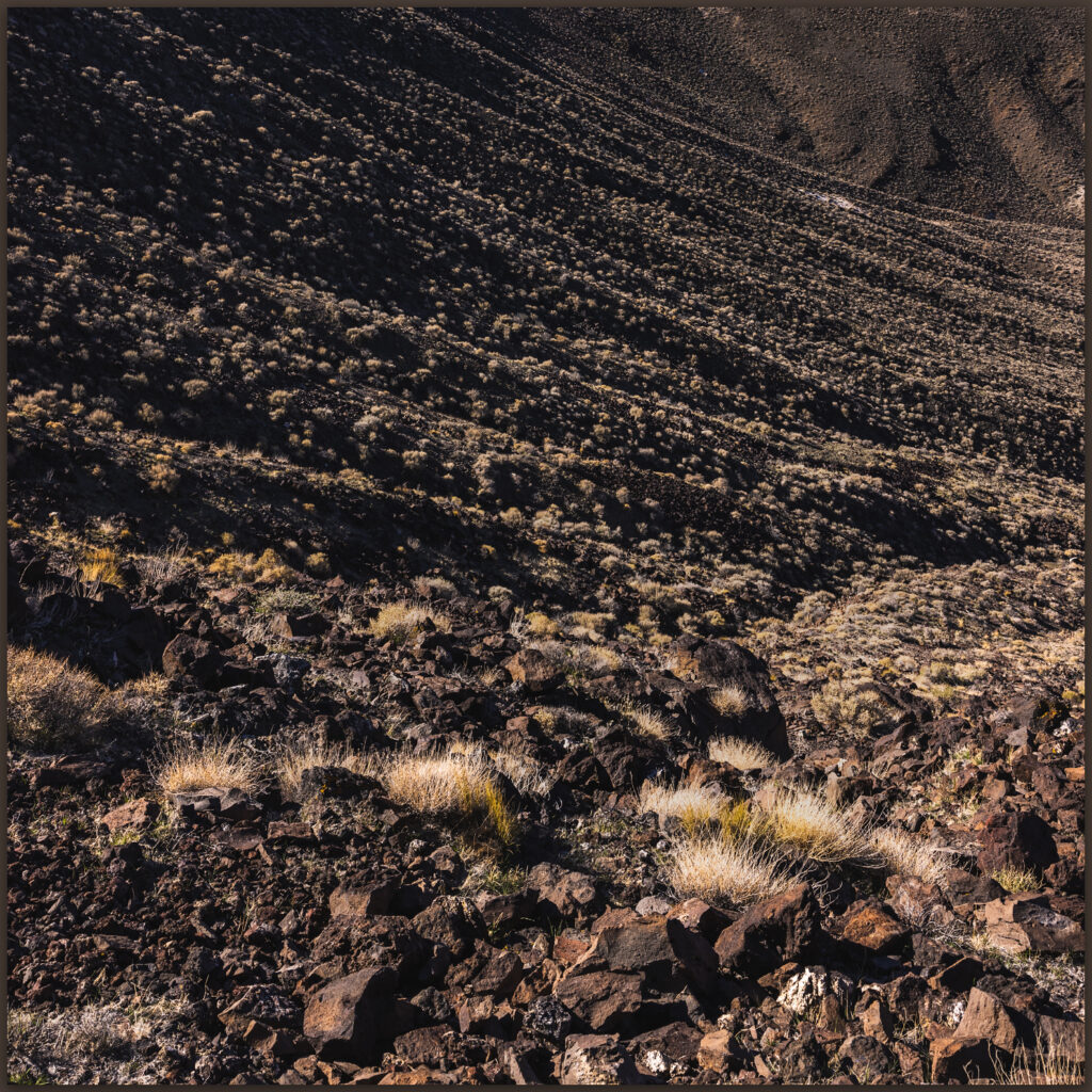
Rills. Colluvial ramps below the scarp of Cocoon Mountains, Great Basin Desert, NV, USA

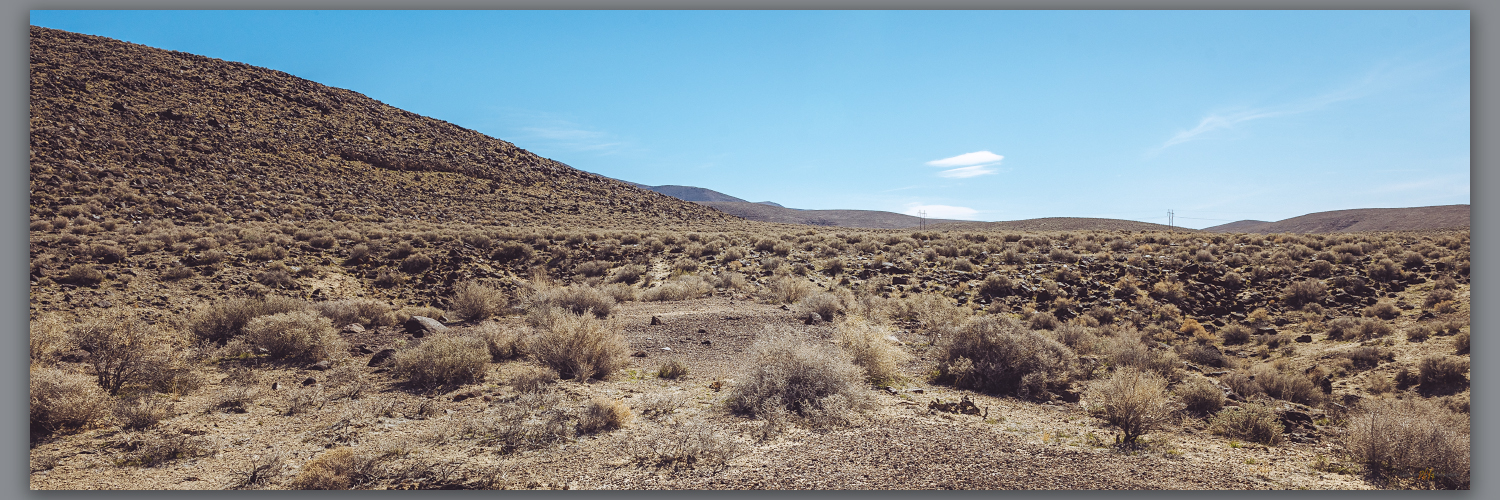
The Cocoons are low volcanic hills rising south of Eight Mile Flat in the Salt Wells Basin, east of Carson Lake and southwest of the Carson Sink. Strandline shores of pluvial Lake Lahontan ring the mountains, their rocks remnant of the eruptive landscape founded in Middle Cenozoic tuffs and lavas. Sands of the Walker and Carson river deltas, once stored as beaches and bars, climb the hillslopes, filling canyons with standing waves of fine-grained sediment. I have watched this small, obscure range pass my windshield many times as I skirt the dune of Sand Mountain on Highway 50, east and west across Nevada. Now, beyond the dust of the sink, Robert and I turn south into lunette dunes of the Turupah Flat, at the sill of Salt Wells Basin, pushing along a rocky road around the foot of the Bunejug Mountains to reach the sandy foot slopes of the Cocoons. The road soon dug into the sand of lake-margin dunes; locking into four-wheel drive we moved easily onward – maybe fifteen miles beyond pavement.

A sandy track led to a water tank; we parked and walked into the soft slopes of sharp shadscale and saltbush, bleached bones marking the hard finish of a few cattle – some coyotes and ravens probably scavenged sustenance, dispersing the skeletal splinters into the brush. Winding our way along stranded shorelines, we traverse onto bouldery slopes and into sand-filled canyons. It is an easy walk, nothing for excitement but a few surviving cows, and the wind at our backs pushing us upward. A moderate volcanic escarpment marks the western front of the flat-topped mountain where a few wispy clouds play in the wind and blue sky – the wind-driven dust is ripping in long streams behind us to the west, trailing into the Walker River corridor and blocking any long views toward home.

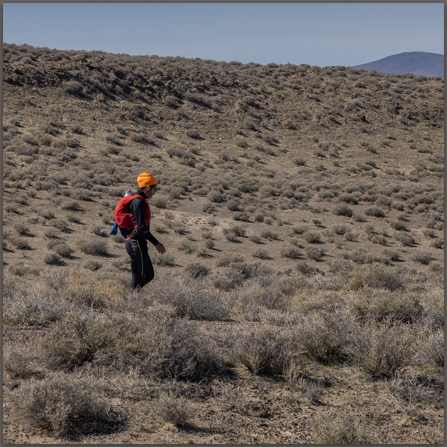
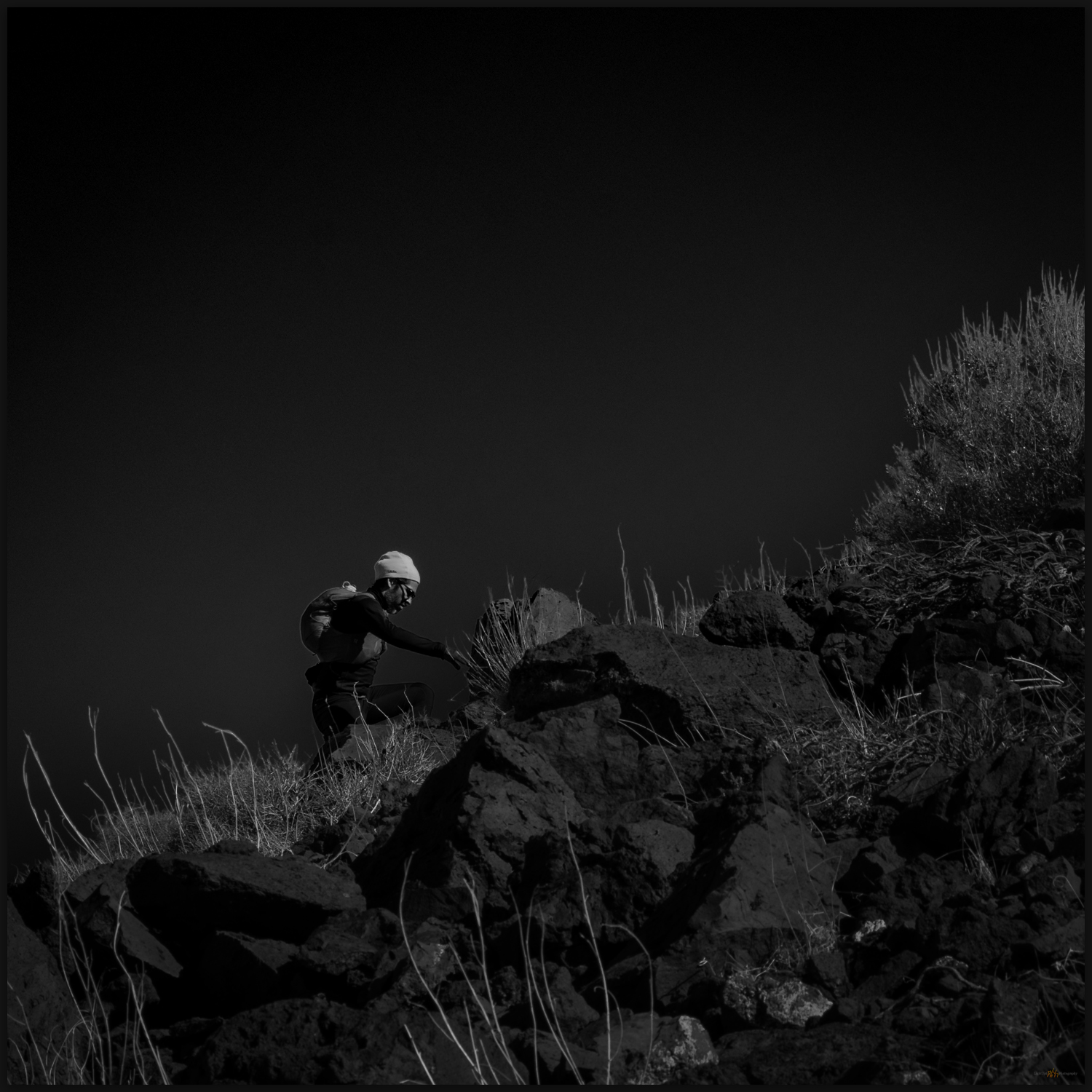
Hiking through. Robert on the western slopes of the Cocoon Mountains, Great Basin Desert, NV, USA

Choosing a sun-marked line leading from a small, outcropping hill to a crease in the mountain-front, we take to steep stepping-stones of roll-prone boulders and scree. A chill has come to the wind, which has also strengthened noisily. The sweat of the climb turns to quick cold, and we dig in our light packs for warmer layers. Snow sits in alcoves along our last easy push to a summit tableland. But where is the top?

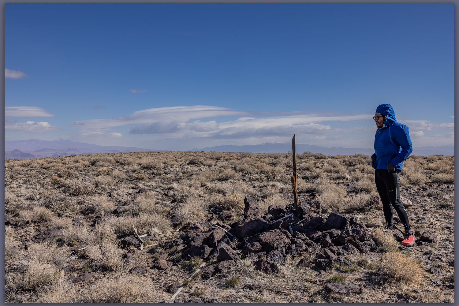
Alkali marker. The summit map station, labeled ‘Alkali’, Cocoon Mountains, Great Basin Desert, NV, USA

The common topographic marker of lathe and guy-wires protruding above a summit cairn marks ‘Alkali’, the USGS mark at 6,104 feet. Alkali was the goal, but the low undulations of the expansive, rocky flat give me pause. We are above the last topo line (always the goal!), but what little bump is highest. The Alkali mark lacks a register, not surprising on what many might consider an unattractive summit. We wander the tableland, eyeing the Alkali mark from various candidate bumps (there is a 6012’ mark highlighted on some maps), but we settle on Alkali – hitting every other undulation just in case!

Winding out. Canyon above Eightmile Flat, Cocoon Mountains, Great Basin Desert, NV, USA
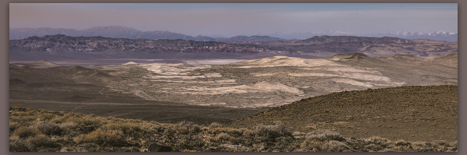
Aeolian motion. Dunes of the Blow Sand Mountains from the summit of Cocoon Mountains, Great Basin Desert, NV, USA

The views are great; the winds are greater. Gusts buffet us, knocking me down at one point as I fumbled distractedly in my pack for a different lens. The falling dunes of the Blow Sand Mountains (a military-restricted summit) illustrate the movement of sand from the Walker River drainage to the Carson basin, where ripples of lunettes in Salt Wells Basin lead to the seif dune of Sand Mountain, which today is climbing the Stillwaters to fall into Dixie Valley. I am reminded that desert dunes have their origin in water – streams are the genetic conveyors of silt and sand; they are parents of dunes, their children seduced to far-flung adventures by consanguine wind.

Walking out. Robert on sandy lower slopes of the Cocoon Mountains, Great Basin Desert, NV, USA

Cocoon Image Collection

Tired of the wind-blown stance at the top of the Cocoons, we drop into protected canyons after traversing a northwestern ridge back to the powerline track we crossed earlier. Once constant gusts subsided with each step toward the valley-margin sands. Robert and I kicked along the sandy slopes talking of former trail-running adventures and those to come. Soon our out-bound footprints appeared among the scattered bones along spoked paths that led to the dry tanks; here, our truck waited, a friendly beer drawn from the dregs of the cooler. A good morning walk, once again.

Keep going.

Please respect the natural and cultural resources of our public lands.

#naturefirst #keepgoing

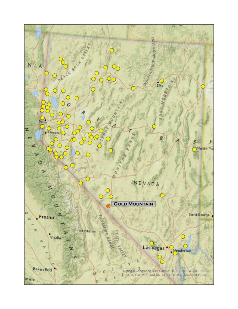
Nevada High Points #98 – Gold Mountain

D. Craig Young · March 12, 2022 · 1 Comment

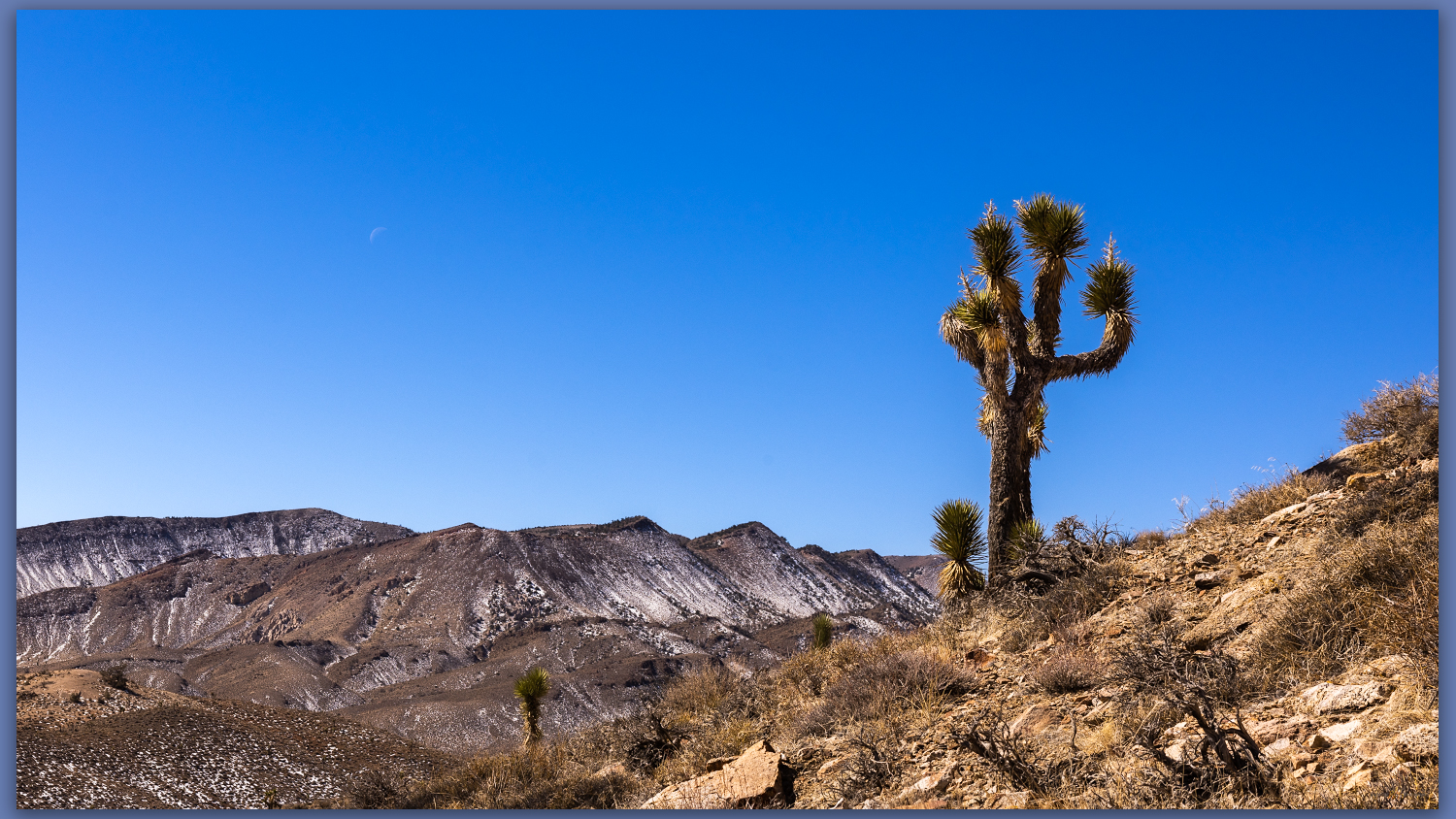
A Joshua. Westward from slopes of Gold Mountain, Mojave Desert, NV, USA

Gold Mountain

8152 ft (2485 m) – 2300 ft gain

2022.02.25

Gold Mountain Collection

It was finally time to get back to a desert high point – my string of monthly highpoints having been broken by a wonderful trip to Patagonia and Atacama Desert in Chile (stories and images coming soon).

Although we have not had good precipitation in 2022, a couple slider storms have left dustings in the high country and access can be an undesired, muddy adventure as early runoff continues. With this in mind, Darren and I ventured southward into the Mojave to find the south-facing slopes of Gold Mountain above Bonnie Claire Flat. It is a long but easy drive through Tonopah and Goldfield before turning west toward Scotty’s Castle and the former northern, paved entrance to Death Valley National Park – the road remains closed where, several years ago, the headward drainage of an alluvial fan reclaimed the highway near the castle grounds. It makes for a quiet section of highway along Bonnie Claire between Gold Mountain and the Grapevine Mountains.

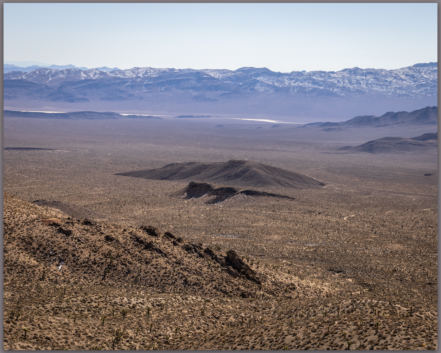
Bonnie Claire Flat. Southern slopes of Gold Mountain, Mojave Desert, NV, USA
Bonnie Claire distance. Southeast toward Obsidian Butte, Mojave Desert, NV, USA
Bonnie Claire Flat. Southern slopes of Gold Mountain, Mojave Desert, NV, USA

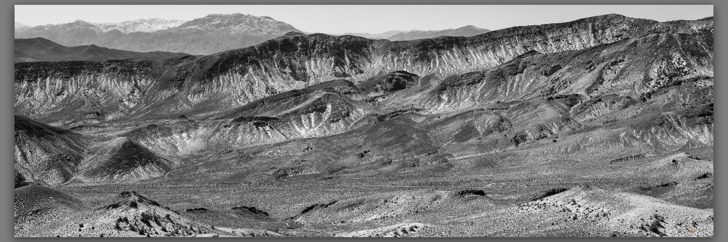
We turn northward up the fan, encountering traces of Bonnie Claire Airfield before tracing our way to some mining prospects at the toe of the mountain front. There is a cool breeze as we head out, but we are soon warm as we gain elevation. On a moderate slope we walk up loose, dusty scree with Joshua trees scattered among granitic boulders. Prospects dot the hillsides where seams of hydro-altered rocks and occasional volcanic dikes run through their host outcrops; these intrepid miners chased riches promised by the historic strikes of nearby districts, and who could pass up “Gold Mountain”?

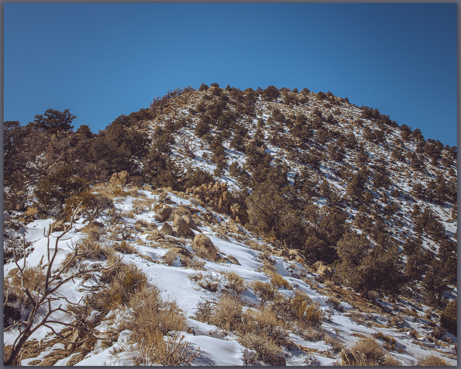
Snow remains. North slopes hold fading winter moisure, Mojave Desert, NV, USA

The scattered Joshua trees give way, with elevation, to a pinyon woodland where a few Pinyon Jays call out – I fail to see the talkative birds, however.  Darren reaches a small cornice which preserves the recent snowy turbidity of recent storms; the small wave climbs from the ridgeline but we step over and through to reach the rocky slope of the summit outcrop. A square cairn protrudes from the summit where we can look westward to the Sierran Crest and eastward into the Basin and Range. It is a simple but very worthwhile summit, as is most often the case in the smaller isolated ranges throughout Nevada.

Gold summit ridge. Pinyon woodland near the summit of Gold Mountain, Mojave Desert, NV, USA
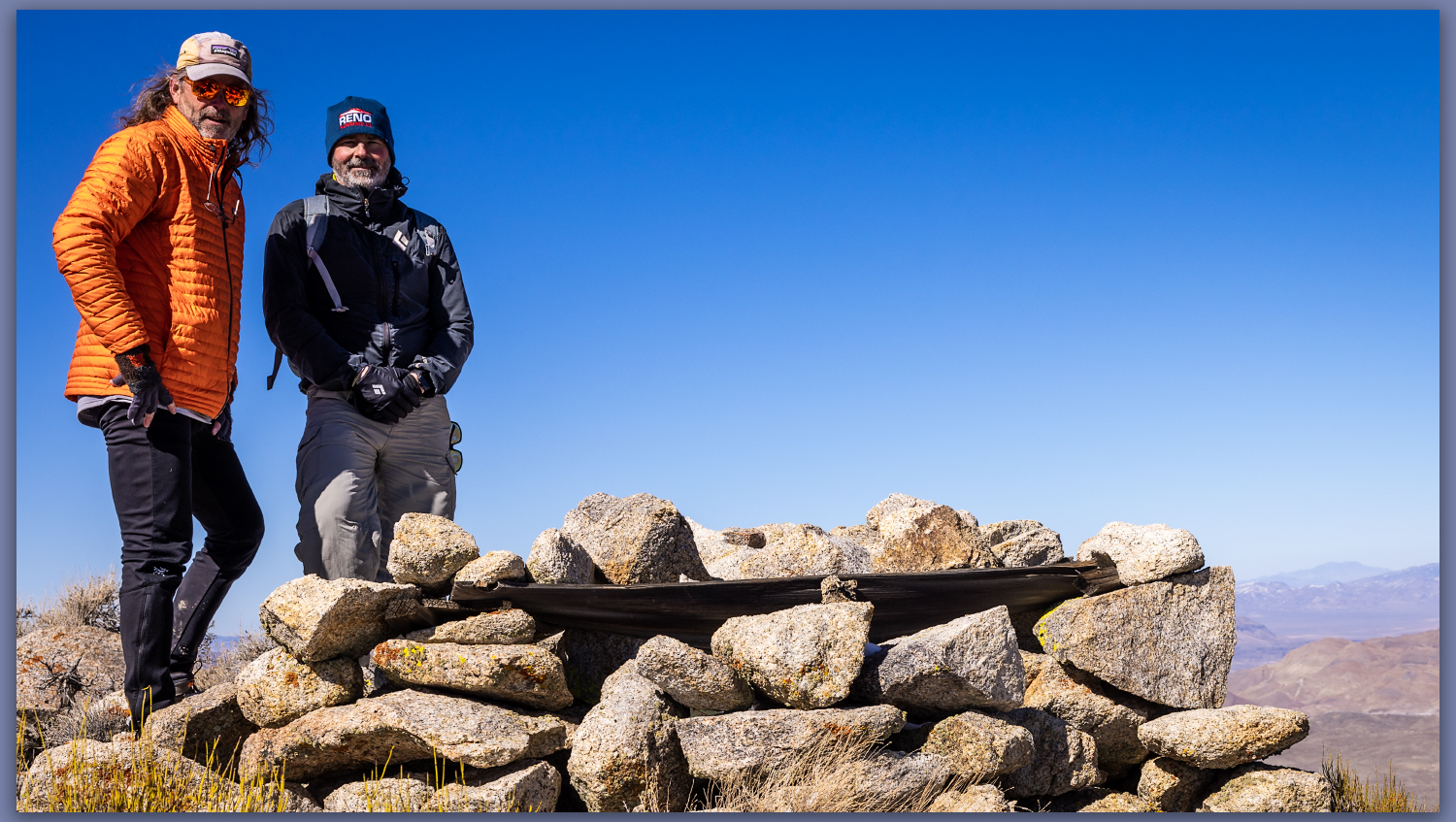
Summit time. The brothers at the summit cairn of Gold Mountain, Mojave Desert, NV, USA
Gold Mountain. The summit rises above Joshua tree canyons, Gold Mountain, Mojave Desert, NV, USA

Gold Canyon Collection

We drop southward to look for one of the larger prospects among a dense pinyon grove. Our descent takes us too far west, a bouldery outcrop and sandy canyon drawing us downward.  I am not, however, overly fascinated by the old mines, so we take the descent following game trails toward the fans that feed into Bonnie Clair. We are quickly back to the truck where we marvel at the afternoon warmth. It is time to return to the chill of the northern valleys and we head homeward. A good day for a high point outing, taking advantage of windshield time to catch up with my brother and feel the warmth of a winter day at the edge of Death Valley. 

Keep going.

Please respect the natural and cultural resources of our public lands.
#naturefirst #keepgoing

Nevada High Points #97 – Paradise Range

D. Craig Young · January 5, 2022 · Leave a Comment

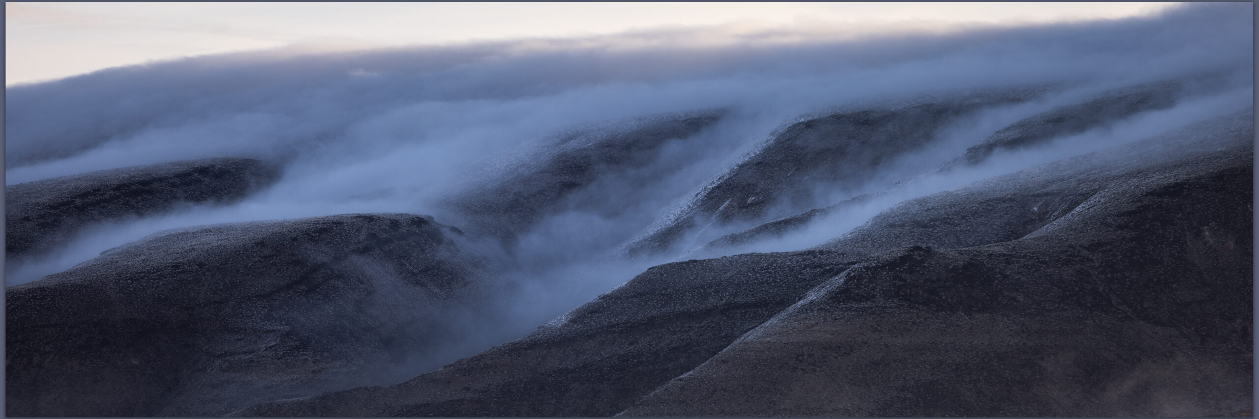
The mists of the basin on the clear, Sand Mountain, Great Basin Desert, NV, USA

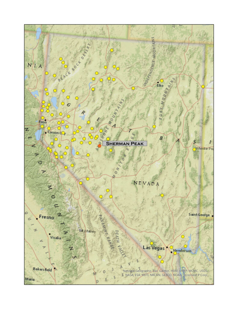
Sherman Peak

8957 ft (2639 m) – 2464 ft gain

2021.12.19

Sherman Peak – Paradise Range Collection

Winter’s coming, and the first snows have arrived. Although it snowed a little at StoneHeart in Carson Valley, I had watched the storms reorganize over the central Great Basin. How much would there be in the Paradise Range near Gabbs, Nevada? Well, a lot more than I thought.

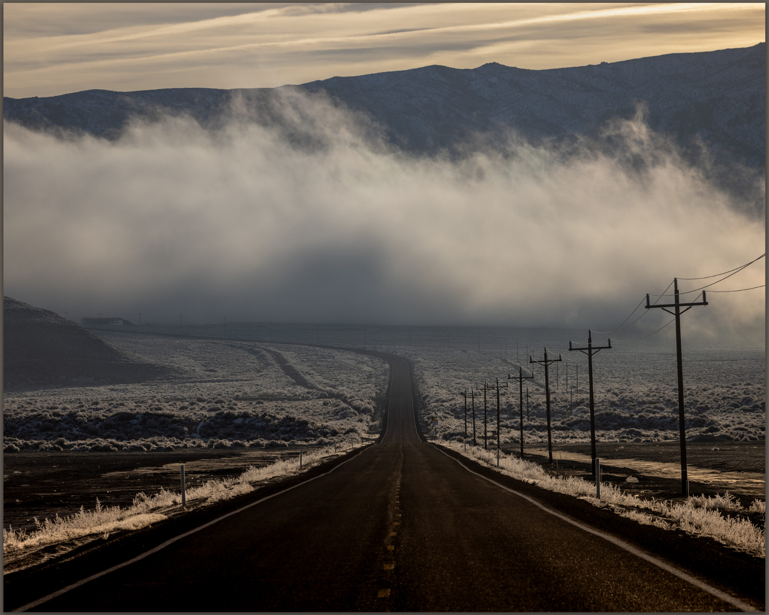
The long way. The loneliest road lives up to its name in the early morning, Sand Mountain, Great Basin Desert, NV, USA

Darren and I hit Highway 50 in the pre-dawn, fog hanging low along the Carson River. At Sand Mountain the low clouds receded up mountainsides, with misty dollops scudding along the dune and its nearby hills. We were closed in at Labou Flat and Dixie Valley – nothing but the black line of the highway leading onward.

Blue skies in Gabbs Valley. Turning toward Ichthyosaur State Park, we climbed between growing snowbanks into the Paradise Range. No off-road travel today, so we parked in a crunch of deep snow, creeping in four-low just to get inches off the plowed pavement. The sun burned and bounced off the white landscape. When we stepped into the snow-bound two-track, it reached just below our knees. We were headed toward south-facing slopes of Sherman Peak, it would have to thin out.

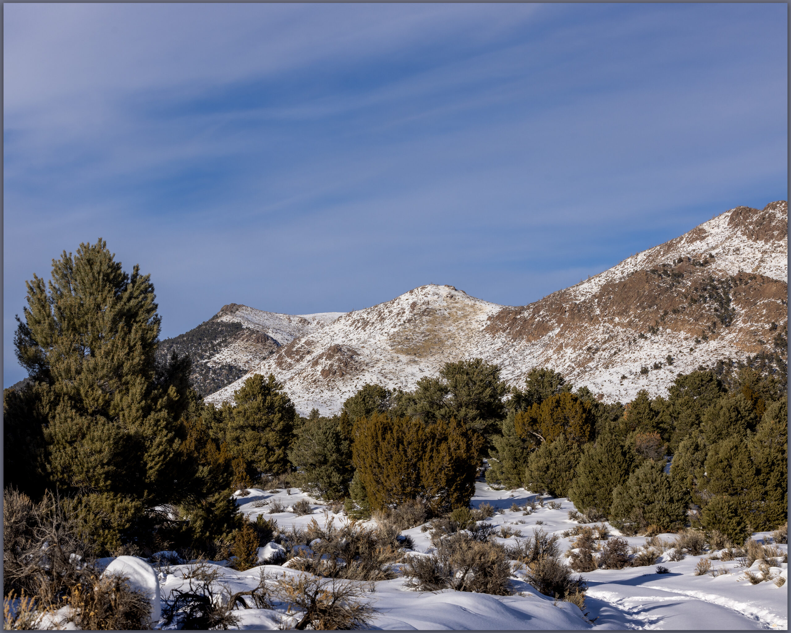
Sherman Peak rises to the left, Paradise Range, Great Basin Desert, NV, USA
Snow approach. Finding more snow than anticipated, we worked slowly toward Sherman Peak, Paradise Range, Great Basin Desert, NV, USA

No it would not. We traversed and traversed; the snow was deeper and deeper. I had not picked a long route and figured it would be just under three miles to the high point, that takes a couple hours typically. This was dragging on as we worked away along a contour that took us on to north-facing, waist-deep drifts in a skeletal forest of snags and blow-downs. I thought about turning back; we are in the shortest days of winter solstice and time could turn against us. It was not dangerous, only more than we had psyched up for. We kept at it, of course.

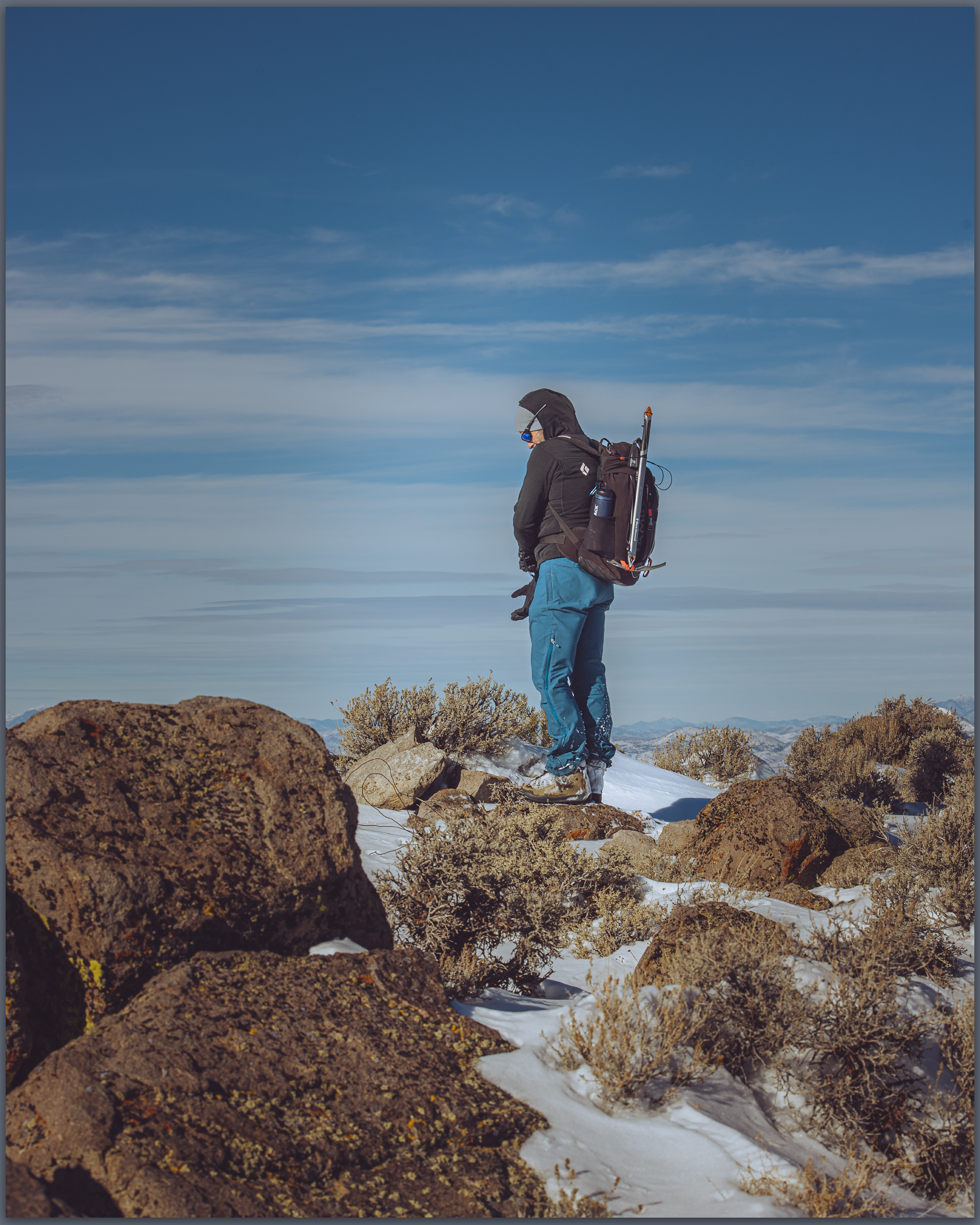
Summit time. A well-earned moment on Sherman Peak, Paradise Range, Great Basin Desert, NV, USA
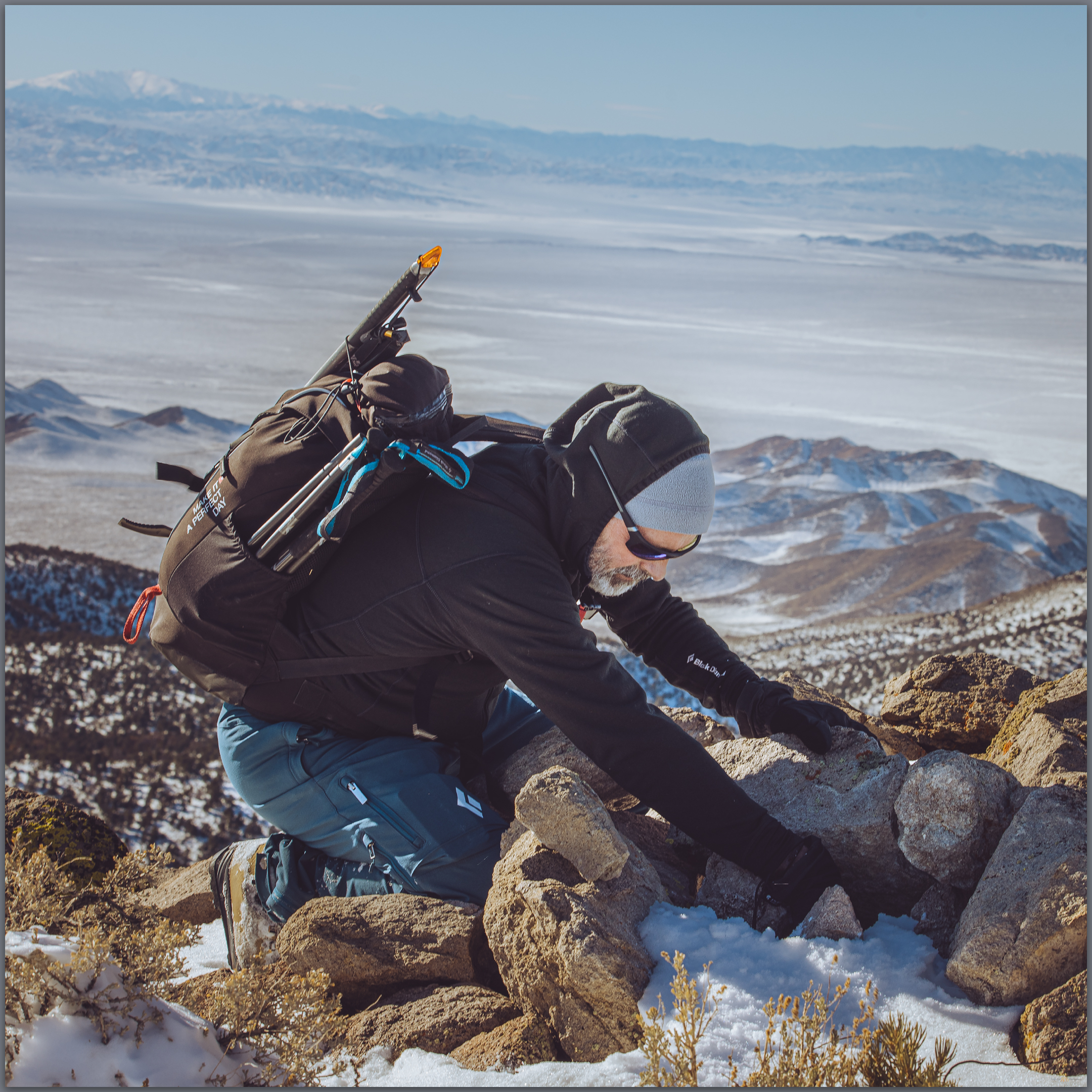
Darren finds the register in the typical summit cairn, Paradise Range, Great Basin Desert, NV, USA

The summit was a relieved reward where we turned into a newly biting wind and felt the chill of recent excursion, the heat of effort evaporating quickly. We did not linger. But our first steps downward found us stumbling and falling from snow-buried boulders, missing the next footfall we thought would be there. Repeatedly. When we got into stride we descended quickly; until we hit the deep snow of the rolling, forested slopes of the last two miles. We slogged, boots heavy with wet snow and accumulated ice. Happily at the truck, we were glad for the effort and impressed by the conditions that Paradise had thrown at us – even if our sweat had come in the relatively warmth of the solstice sun.

I realized after that I had not taken many photographs. At first humbled by the stark blue skies and bright white snow, I soon forgot the camera altogether as we focused on breaking trail. The views from the summit of Sherman Peak are exception, seeing a distance Sierra skyline, valley beyond valley, and the bulge of the plateaued ranges of the central Great Basin. It was dressed for winter, ready for the days to come.

Sherman Peak – Paradise Range Collection

Please respect the natural and cultural resources of our public lands. #naturefirst #keepgoing
Winter’s Coming to the Eastern Sierra, CA

D. Craig Young · January 5, 2022 · 1 Comment

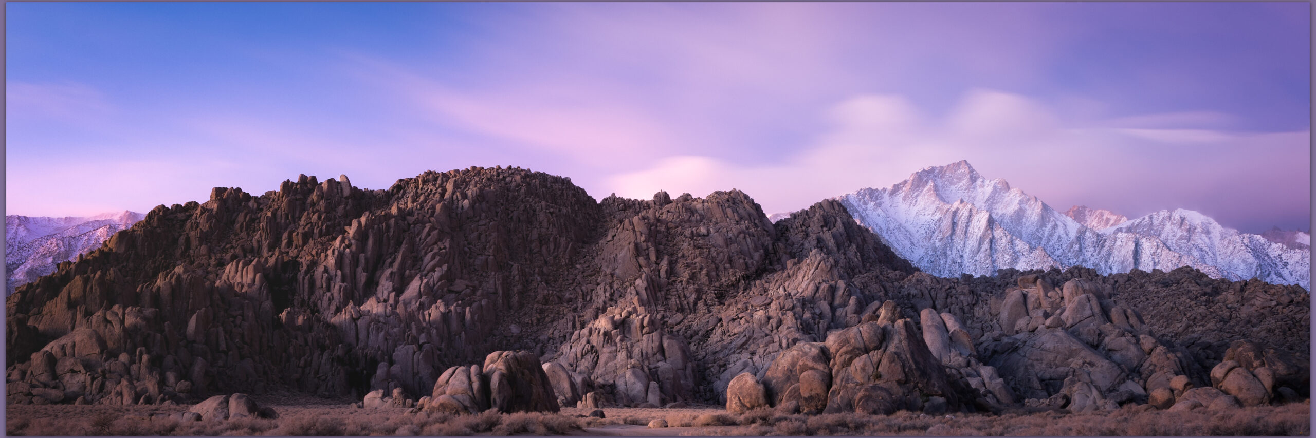
Plutonic glow. A storm clears at dawn in the. Alabama Hills, Eastern Sierra, CA, USA

We were closing out the 2021 field season in Owens Valley, and I had been on a long circuitous road trip working on projects in San Diego, California, visiting with colleagues in Henderson, Nevada, and traversing Death Valley to return to our team working on the fans of the Owens Lake basin. While we wrapped up our fieldwork, the first solid winter storm bore down on the Sierra. Travel home was not possible. The storm meant steady rain in Lone Pine, California, our lodging and logistical base, with the Sierra massif clouded over. I took some time to wrap up some field mapping in the southern valley, taking advantage of the road closures that precluded a homebound journey.

Eastern Sierra – Winter’s Coming Collection

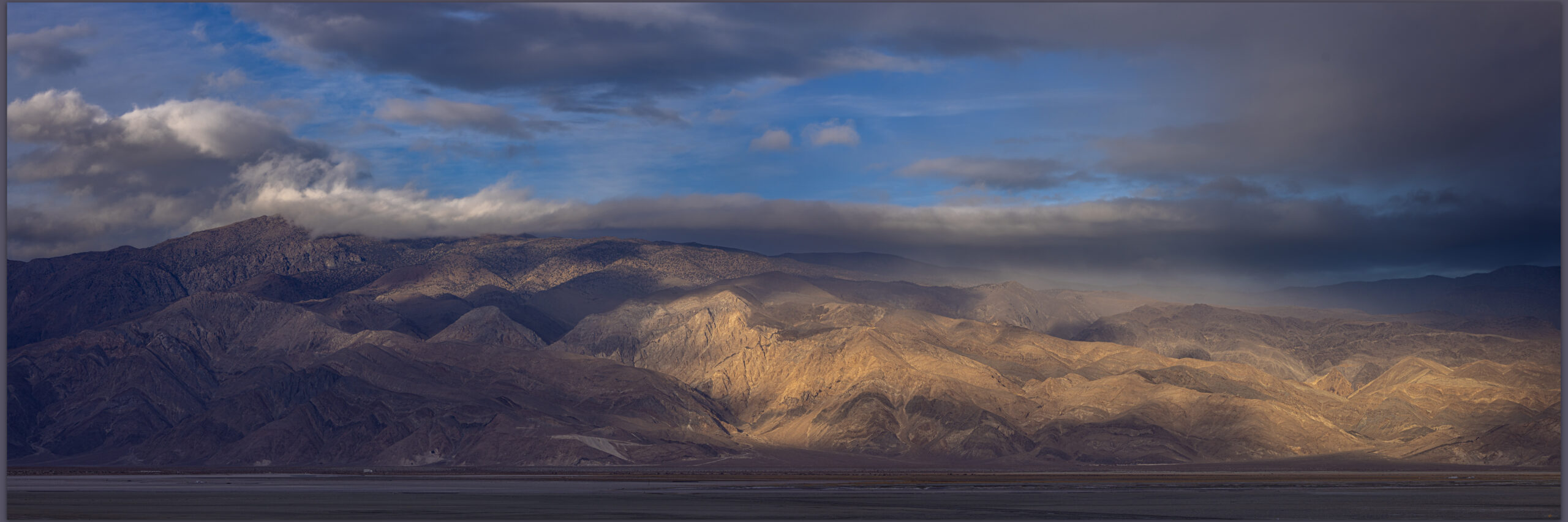
Inyo squalls. Strom clouds clearing from the Inyo Mountains, Great Basin Desert, CA, USA

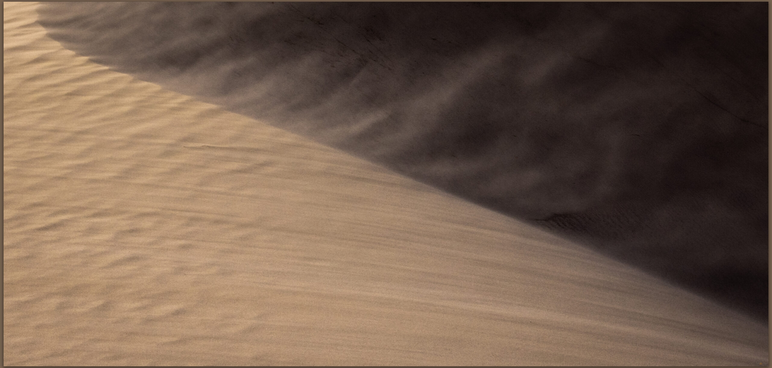
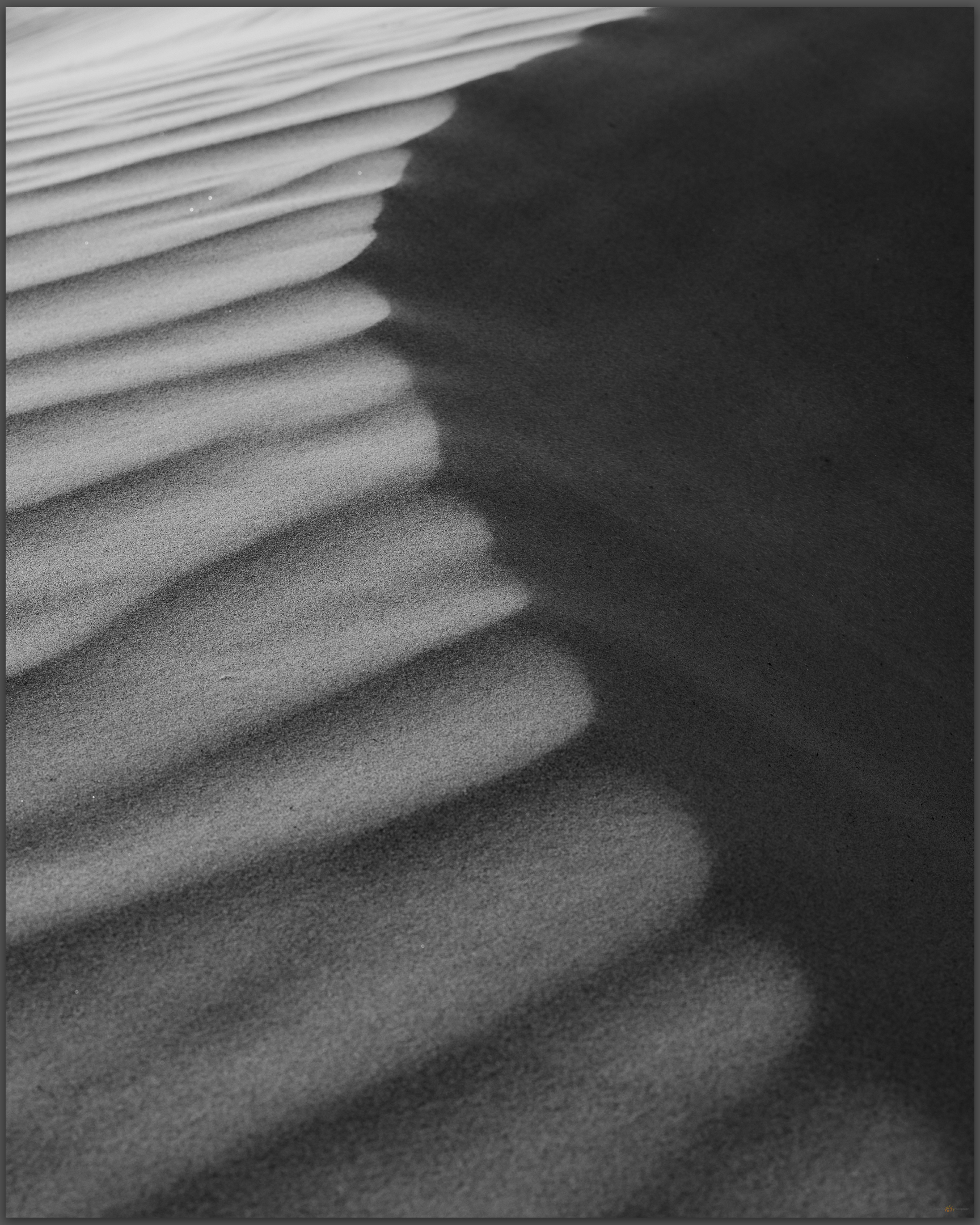
Soon, however, the storm caught up with me and the graded roads of the Olancha and Walker fans were flooded. I retraced my way around to the east side of the valley and visited the falling dunes of the Centennial benches, a small dune-set on the Highway 190 as it climbs out of Owens Valley. I really enjoy this small falling dune and adjacent sand ramps as they move across the dramatic black basalt of the local rimrock benches. Today, the wind was the subject. I was pushed by gusts and polished by grains as a worked low on the dune to tell the story of the wind and its motive power. No changing lenses in these conditions, but I chose well, and I am happy with the results.

Aeolian rush. Reworking of a falling dune, Owens Valley, Great Basin Desert, CA, USA
Ripples repose. Storm winds rearrange the falling ripples, Owens Valley, Great Basin Desert, CA, USA

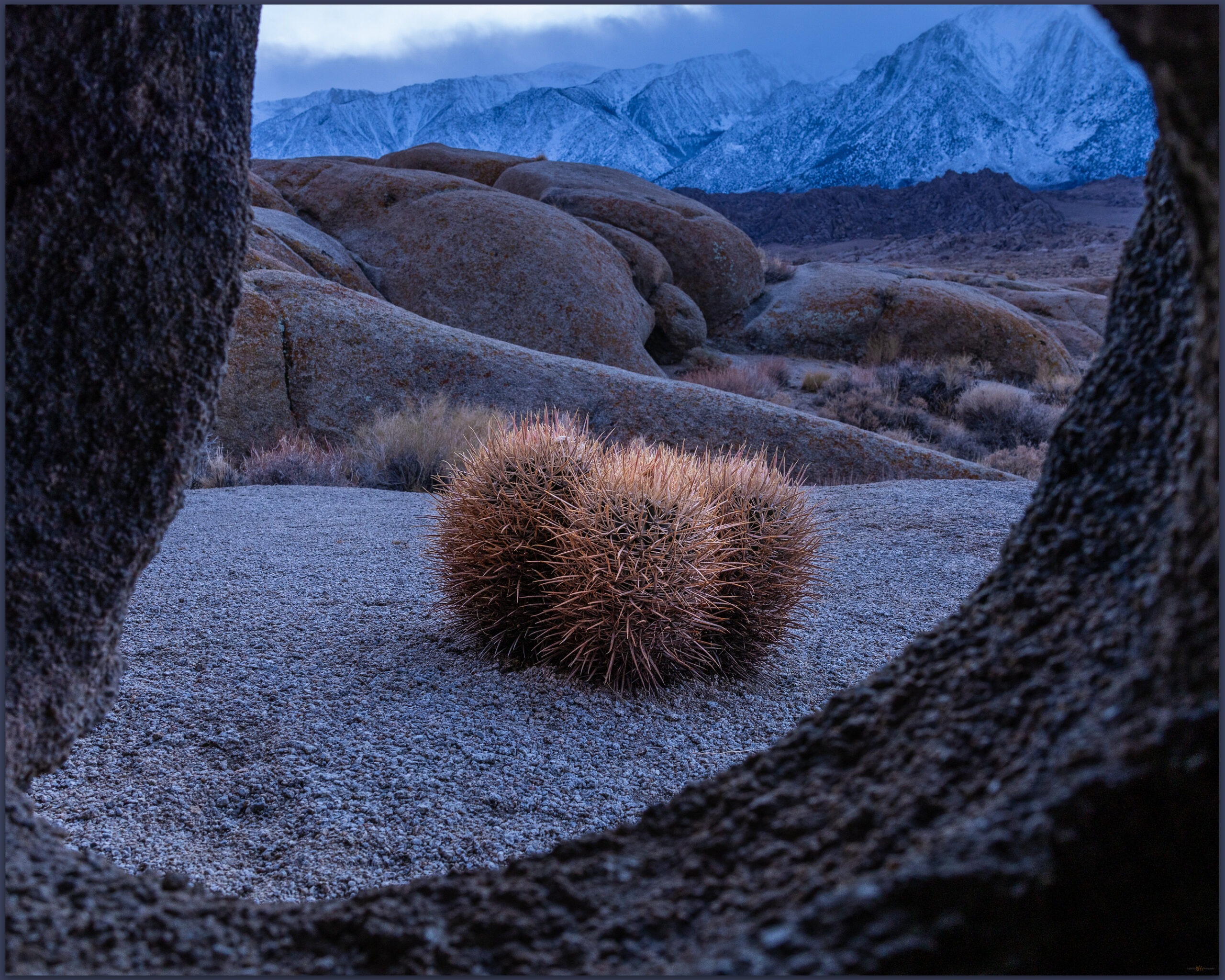
The rains finally reached the desert side with the Inyo and Coso mountains soon engulfed in clouds and sheeting rain. I was not quite finished, however. I worked my way into blue hour in the Alabama Hills looking for small scenes in the fading light under the stormy clouds – only the lower mountain-front was visible. The barrel cactus seemed to bend the blue light into a kind of warmth, needles glowing against the cold rocks and sandy grus. Looking for a different perspective, I crawled into a tight cave-like alcove to keyhole small cactus. I am not sure it works but the contortion effort of lifting the camera into the slotted crevices to frame a hoped for subject had me laughing out loud; I am sure a strange solitary sound in the windy evening.

Barrel window. Blue hour and cactus in the Alabama Hills, Eastern SIerra, CA, USA
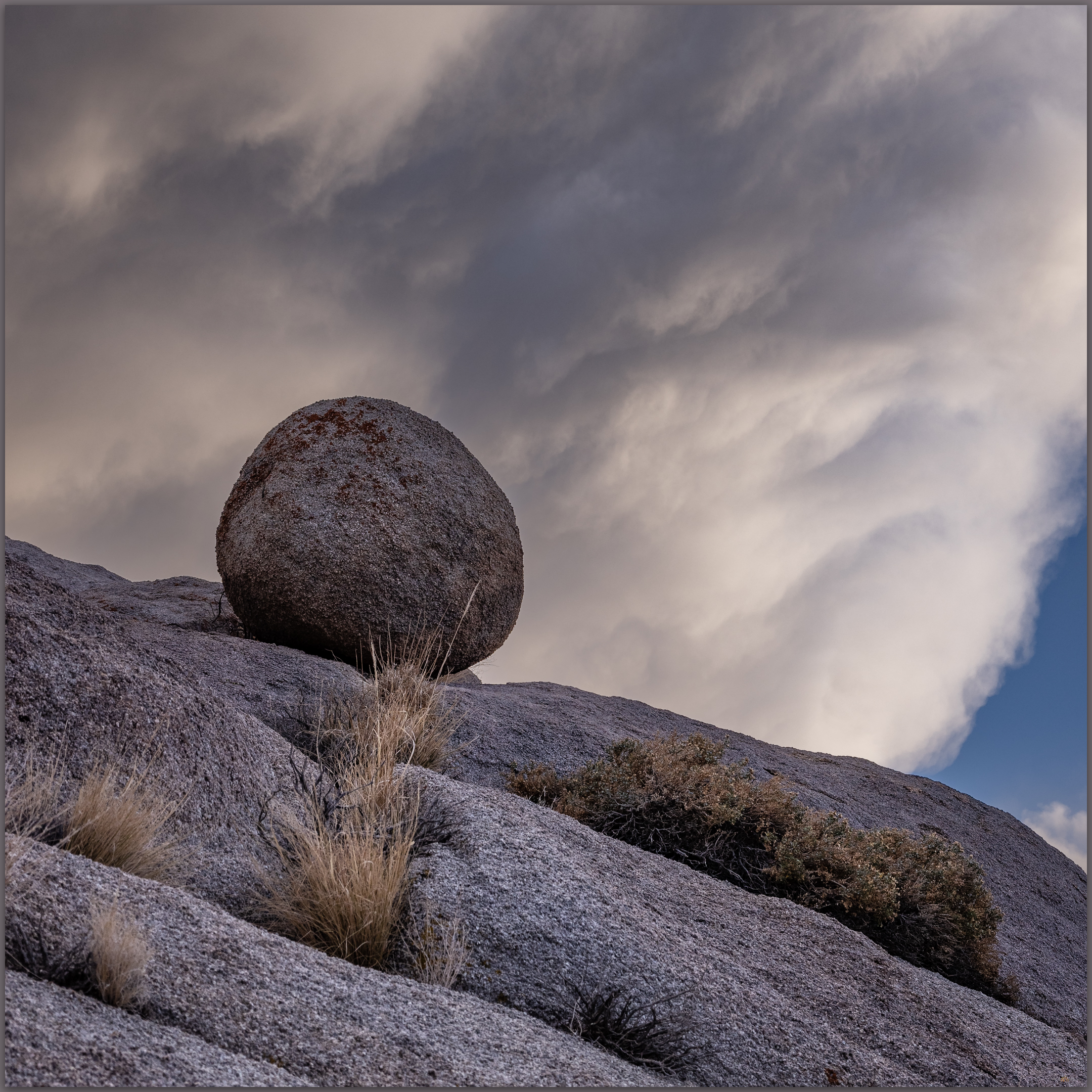
Storm ball. Alabama Hills, Eastern Sierra, CA, USA

I returned to the hotel to hope for a break in road conditions so I could get home. I had logged over 1600 miles on this outing, and the first pangs of homesickness are more acute when conditions change the plan. Clearing skies of the following morning brought reward. Forecasting the changing conditions, I hurried back into the Alabama Hills before dawn. I once again patrolled Movie Road. Driving its full extent and returned eventually to the newly restricted ‘Day Use’ area where the road first bends sharply east. The Sierra crest beckoned, and I had great pleasure watching the refreshed skies on Lone Pine Peak. The light of the Sierra, a gift accepted once again.

Eastern Sierra – Winter’s Coming Collection

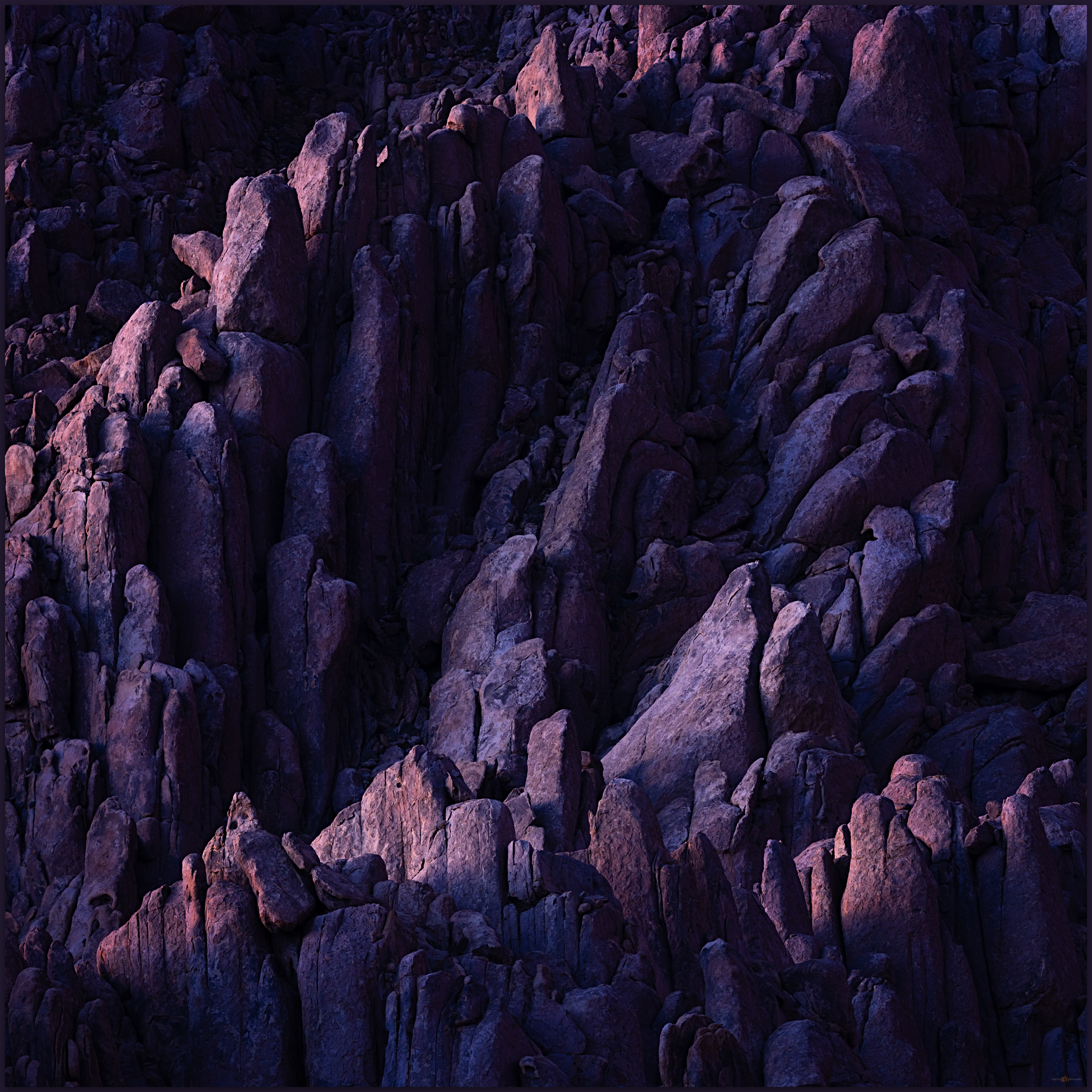
Interior pipes. Early sun and texture in the Alabama Hills, Eastern Sierra, CA, USA

Keep going.

Please respect the natural and cultural resources of our public lands.
#naturefirst #keepgoing

  • « Go to Previous Page
  • Page 1
  • Interim pages omitted …
  • Page 6
  • Page 7
  • Page 8
  • Page 9
  • Page 10
  • Interim pages omitted …
  • Page 19
  • Go to Next Page »

Trail Option

Copyright © 2026 · Monochrome Pro on Genesis Framework · WordPress · Log in

  • Contact TrailOption
  • Substack
  • Waypoints Bibliography
  • Young Archives