• Skip to primary navigation
  • Skip to main content

Trail Option

A personal geography of landscape and place, art and geo-science.

  • Home
  • TrailOption Blog
  • WayPoints
  • Galleries
  • About
  • Contact TrailOption
  • Subscribe!
  • Show Search
Hide Search

landscape photography

Nevada High Points #121 — Sentinel Hills

D. Craig Young · July 28, 2024 · Leave a Comment

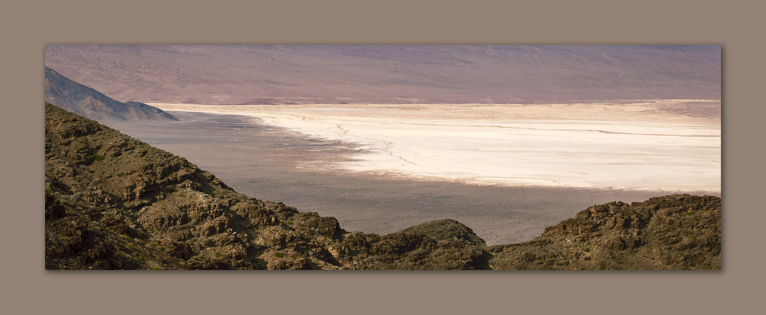
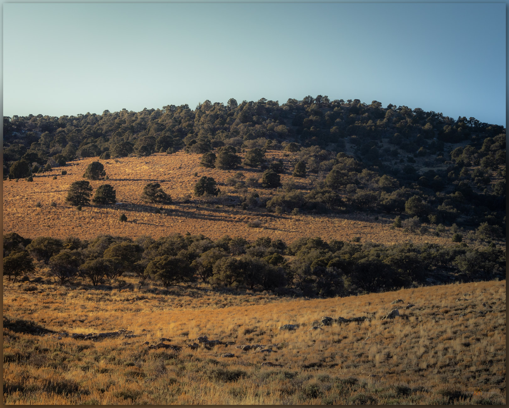
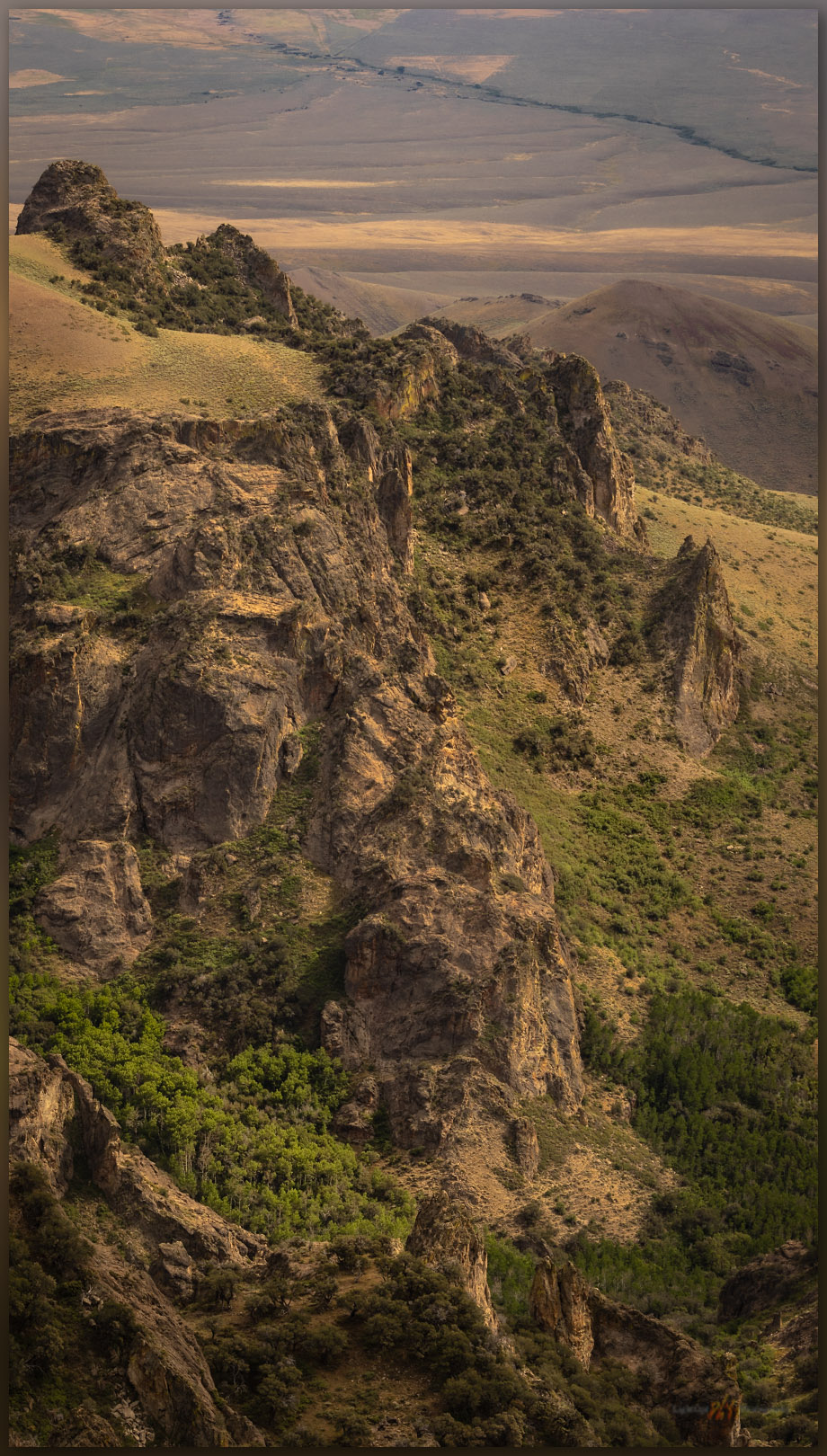
Quinn River Valley. Sentinel Hills, Great Basin Desert, NV, USA

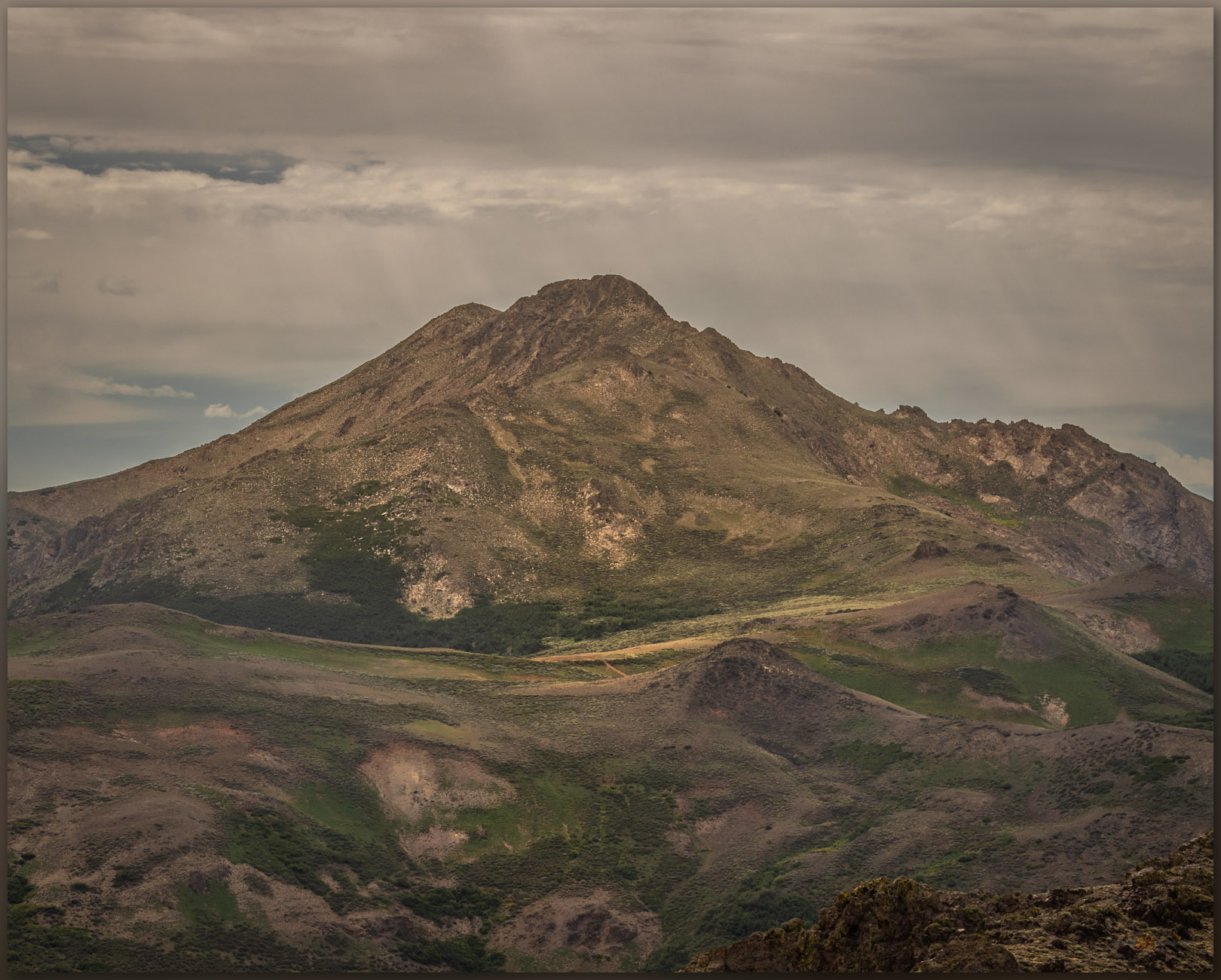
Hoppin Peak

6148 ft (1874 m) – 1260 ft gain

2024.05.07


It was time to close the day. I left McDermitt, Nevada, after sharing results of recent projects in a long meeting with the council of the Paiute-Shoshone Tribe. Archaeological studies driven by proposed developments are not always welcomed, and while the meetings are almost always cordial and informative, they can be emotional and contentious given the variety of views regarding the impacts, good and bad, that projects bring. I do my best to be honest and clear in my presentations, but I understand that I work for a project proponent (utility or mining companies, for example) at the behest of a government agency, and sometimes limited by my western scientific perspective, I fail to resolve and answer adequately the deeper concerns of some members of the traditional community. We could do better. Weary from the long meeting, I pointed my rig into the hills west of Quinn River Valley, breathing easier and settling into the fading light of the afternoon.

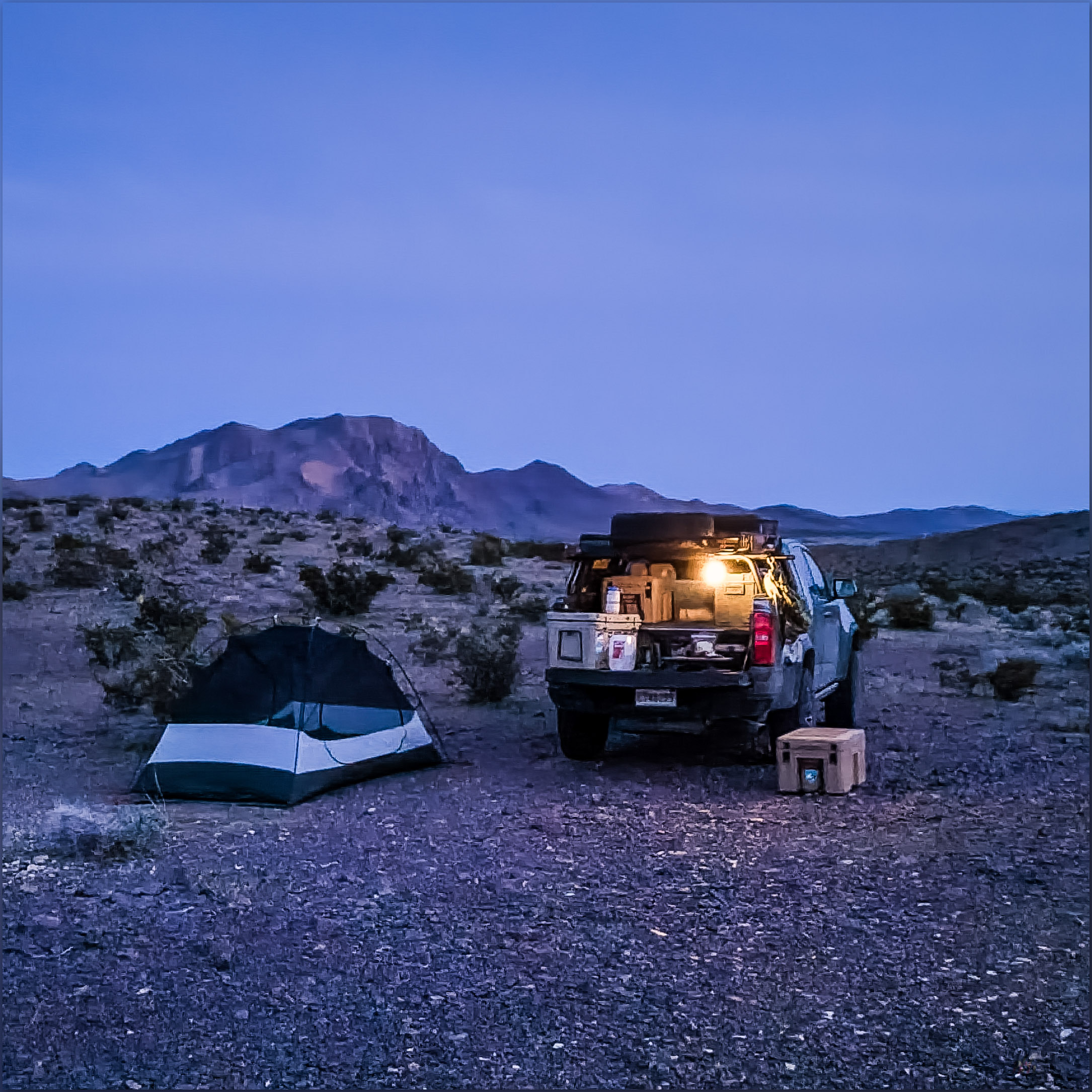
Reveling in the sound of dirt under my tires, my head cleared; a pronghorn antelope stared at my intrusion. The volcanic tablelands of the Sentinel Hills spread to the southern horizon, and I could see Hoppin Peak rising as a rim-rocked butte, which I knew overlooked the Quinn River Valley now to my east. I would camp up here in the sagebrush and cheatgrass but, first, I thought I had enough evening light to walk a few miles to the Hoppin Peak high point. Finding a level area to eventually pitch my tent, I grabbed my pack and set off.

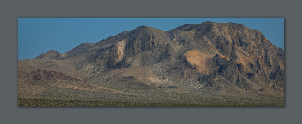
Hoppin Peak. High point of the Sentinel Hills, Great Basin Desert, NV, USA (Map point #1)
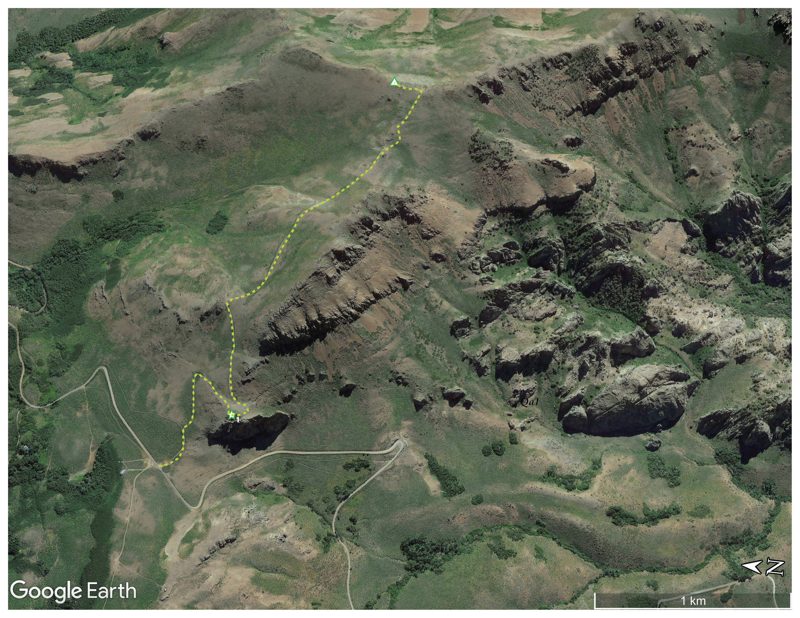
Oblique aerial imagery of a section of the Sentinel Hills showing route to Hoppin Peak.

The Sentinel Hills are block-faulted remnants of lava flows that oozed from the volcano that would eventually collapse to form the McDermitt caldera. Prior to its collapse, the volcano extruded a prodigious amount of rhyolitic tuff and lava. The eruption produced deep beds of pyroclastic ash with unimaginably hot and dense ground-clouds transitioning to highly viscous lavas; these may have cycled over and over as eruption followed eruption during the fiery event. In places, the weight of the viscous beds (along with somewhat unique combinations of chemistry and water content) resulted in strata of thick, glassy ignimbrite beds and, sometimes, massive glass beds of obsidian were left behind. These processes, especially the extensive evacuation of so much volcanic material, resulted in the volcano’s collapse by about 17 million years ago, leaving a mark on northern Nevada that remains to this day – and leaving a vast toolstone resource so prominent in the regional archaeological record. I have spent considerable time in the hills of the caldera but have yet to visit the high point on its eastern margin.

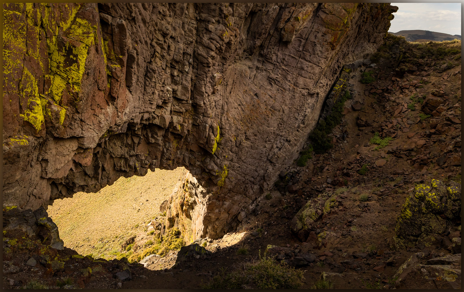
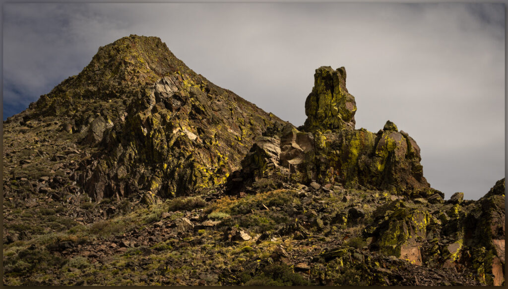
Above Quinn. Lichen-covered outcrop in the Sentinel Hills, Great Basin Desert, NV, USA (Map point #2)

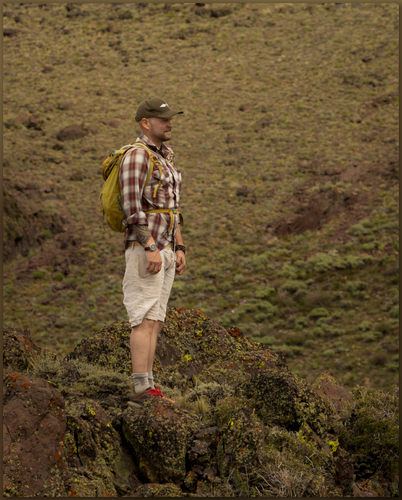
The day’s light faded as it bounced among building clouds. I walked the rolling hills skirting the tops of canyons that cut into the volcanic rocks. Obsidian seems absent on the top of the tablelands, as I continue to map the geography of the volcanic glass around the caldera. It is not a demanding walk, the only challenge coming from two groups of wild horses that cannot decide if I should be there. They are at once curious and then immediately skittish, and I only want to stay out of harm’s way. The horses are momentarily fascinating and beautiful, bristling at my presence, but their numbers take a toll on the springs, and the local slopes are cut by numerous trails that radiate between water sources, most of which are now dry.

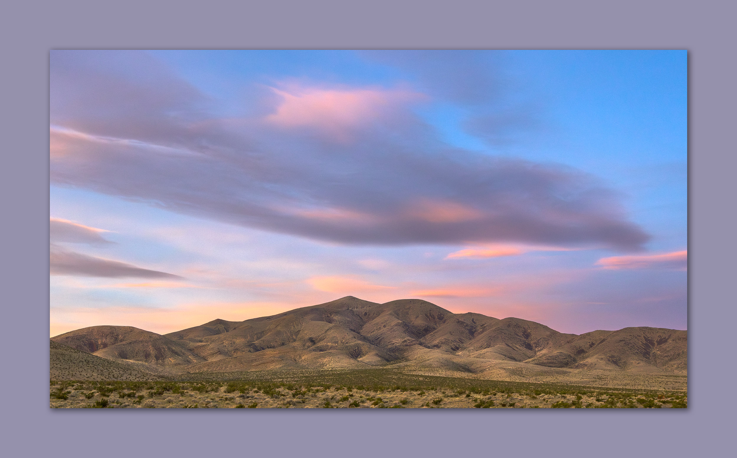
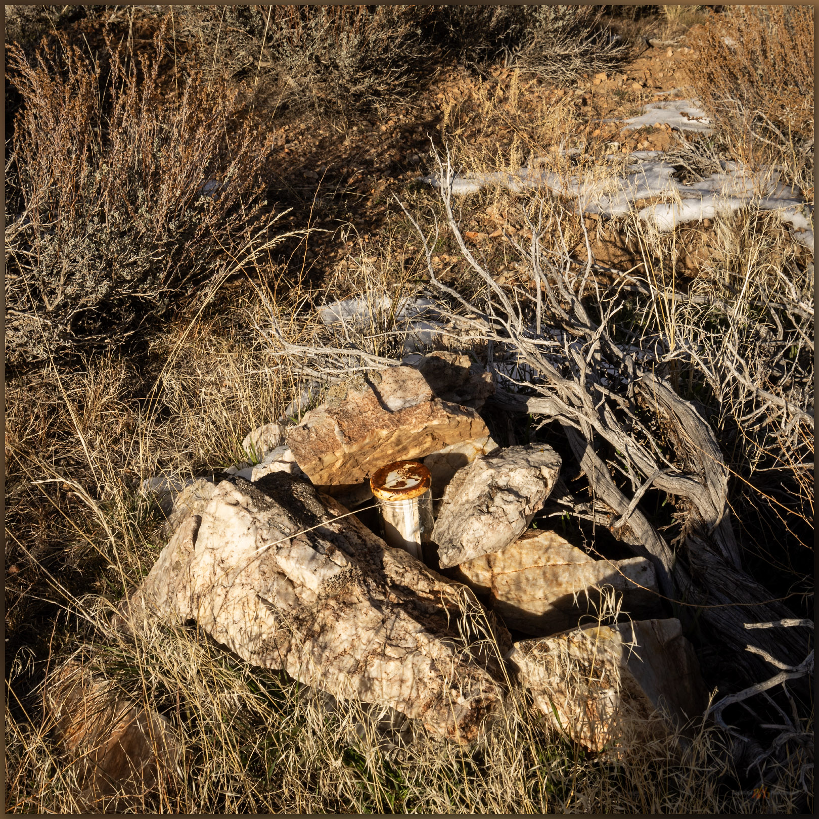
In a last gasp, the light rakes beneath the clouds as the sun sets about the time I gain the rimrock and talus that guard the summit. There is a small rock cairn and the usual quiet register. I had hoped for a dramatic sky highlighted above the setting sun, but the clouds dropped in a broad western curtain, and dark began to set in. I had several groups of horses to navigate through, so I did not wait any longer.

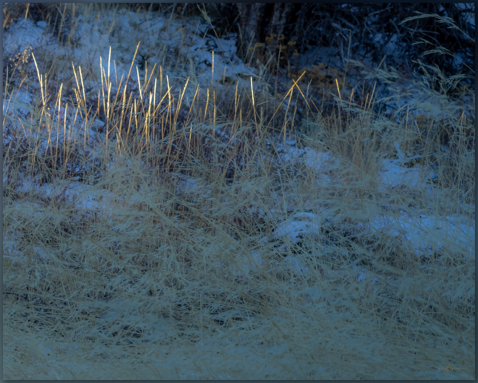
Overlap. Fading grass in the Sentinel Hills, Great Basin Desert, NV, USA

I had, of course, packed my headlamp, but I prefer not to use it unless completely necessary. I could hear the horses shuffling nearby, but they kept their distance as I made my way back to the truck to set up camp. Hoppin Peak is not dramatic in any way, but the walk is refreshing, and I feel much better for it. I learned something about the lavas of the Sentinel Hills, confirming that obsidian nodules of toolstone quality (or any really) are absent from the tops of the flows. I can expand my maps a bit more, adding this detail to the eastern margin of the caldera. I will continue my caldera excursion tomorrow after listening to the Chukar and coyotes; a Common Poorwill sings its haunting, lonely notes somewhere in the canyon below. A quiet close to a long day — the small hills almost always provide that.

Keep going.

Heads up. Hidden Sage Grouse on Ten Mile Creek, Sentinel Hills, Great Basin Desert, NV, USA
Hun in flight. Hungarian Partridge in the sagebrush of the Oregon Canyon Mountains, Great Basin Desert, NV, USA

Please respect the natural and cultural resources of our public lands.
#naturefirst #keepgoing

Nevada High Points #119 – Resting Spring Range

D. Craig Young · April 7, 2024 · Leave a Comment


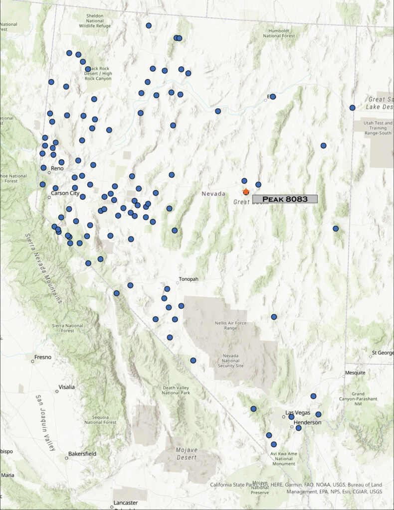
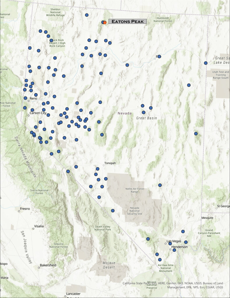
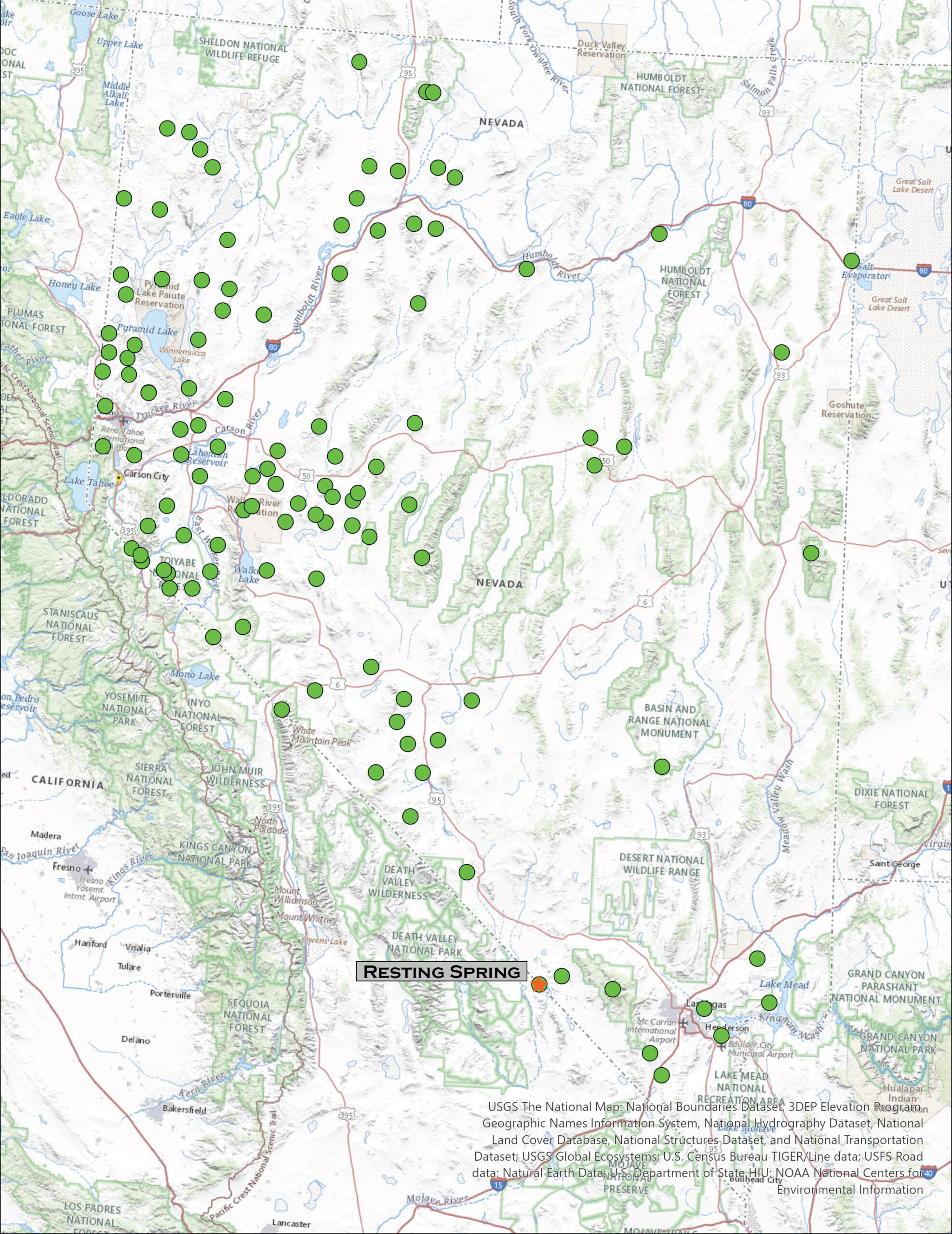
Map showing climbed high points with Resting Spring Range labeled as #119

Unnamed – Border Monument 105

3960 ft (1207 m) – 1530 ft gain

2024.03.10

Resting Spring Collection


I am back in the Mojave. In northern Nevada – in the sagebrush steppe of the Great Basin Desert – the transition to spring has brought a series of atmospheric rivers that vary from warm rains to several inches of new snow. Our water budget appreciates it, and the ski resorts are happy, but it lowers the potential for backcountry travel across the northern tier of the state. But late winter in the Mojave has a very different effect. The precipitation nourishes an ephemeral but amazing green, punctuated by blooms of wildflowers; the typically sharp and prickly landscape softens. Drawn by this ephemeral setting, like last month, I am once again in the Mojave.

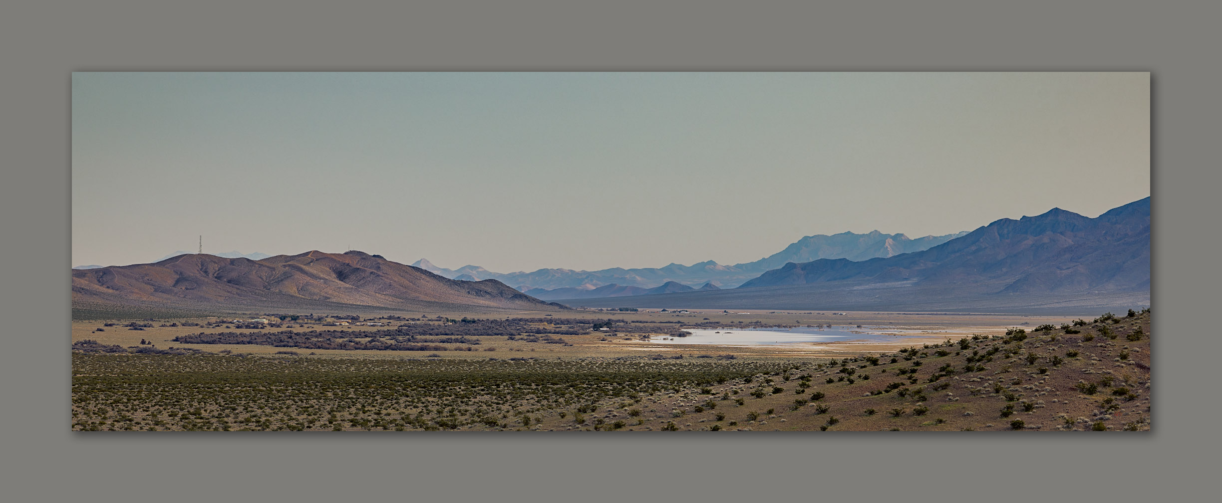
Desert evening. Stewart Valley at the close of winter, Resting Spring Range, Mojave Desert, NV, USA (Map Point #1)

After exploring a few roads on the north side of the Resting Spring Range – most went nowhere or were badly washed out, I set camp on some desert pavement formed on small fans in low, hummocky foothills. The narrow mountain range rises above the Amargosa River with most of its mass in California and only a northern spur and expansive alluvial fans extending into Nevada. My target is the Nevada high point, marked by a small, ridge-line outcrop well below the prominence of Shadow Mountain, the range’s actual summit. I will head up there too.

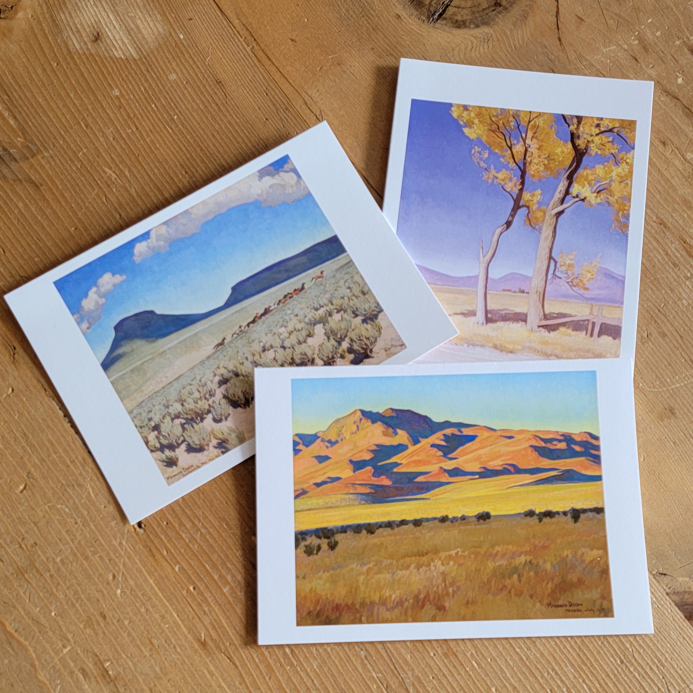
But, first, I will turn the calendar back to yesterday. Desna and I visited the Nevada Museum of Art where there is a wonderful exhibit of Maynard Dixon paintings, poetry, and photographs created during his excursions to northern Nevada and eastern California (open until 7/28/2024). I mention this because first, I really enjoy so much of his work and, second, I think it important to look at art, especially landscape art, and to consider what I like about it. This might provide direction for my landscape photography. Dixon’s use of saturation and contrast, in color and in light, evokes my emotional connection to desert landscapes. His composition is typically minimal, and he has little hesitation in expressing the open sky, dotted with bright clouds, over stark shadows streaking across desert landforms.

Photographers, especially landscape photographers, often cringe at mid-day or high-contrast conditions, preferring the raking, red hues of sunrise and sunset, adding in dark, glowing clouds for dramatic impact. I love these too. I can, however, find challenge and growth in applying a touch of Dixon’s eye, maybe, to my photographic work – both in seeking and exposing compositions and in creative processing, as a painter might. Who knows? I may never be successful, but it got me thinking about its application. Oh, and third, I spent a lovely afternoon with Des.

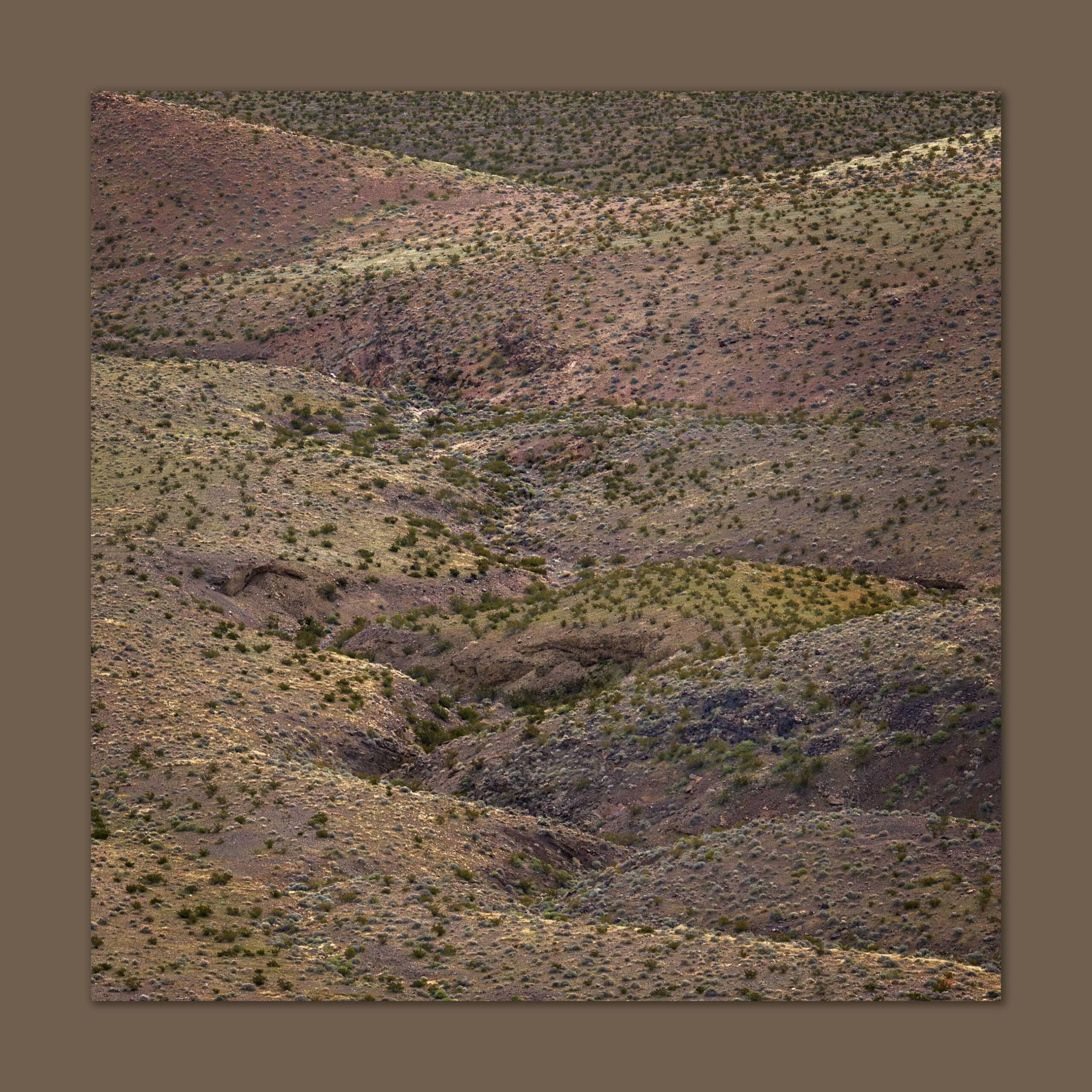
Upheaval. Folds and fans in the hills of Stewart Valley, Resting Spring Range, Mojave Desert, NV, USA (Map Point #1)
Camp at dark. Foothills and pavements on the eastern margin of the Resting Spring Range, Mojave Desert, NV, USA

Back in the Resting Spring Range, after an evening exploring the pavements and hummocks around camp, I am up before first light, making coffee and collecting a few calories before setting out. I need to walk about three miles of alluvial fans before hitting a punchy slope to the Nevada high point. I go by headlamp, cresting a low hill where an almost complete darkness extends in front of me; the yawning space of the vast alluvial fans soaking all light, from the faint light of my headlamp to blackness to a very distant starry horizon. The night still feels close around me. It is a calm silence, until a Burrowing Owl calls from somewhere far ahead and below; her call a lonely reminder of the few critters that call this desert home. Again and then again, a quiet hoot-hoot is the only sound. I walk into the dark.

Shadow morning. Shadow Mountain at first light, Resting Spring Range, Mojave Desert, NV, USA
(Map Point #2)

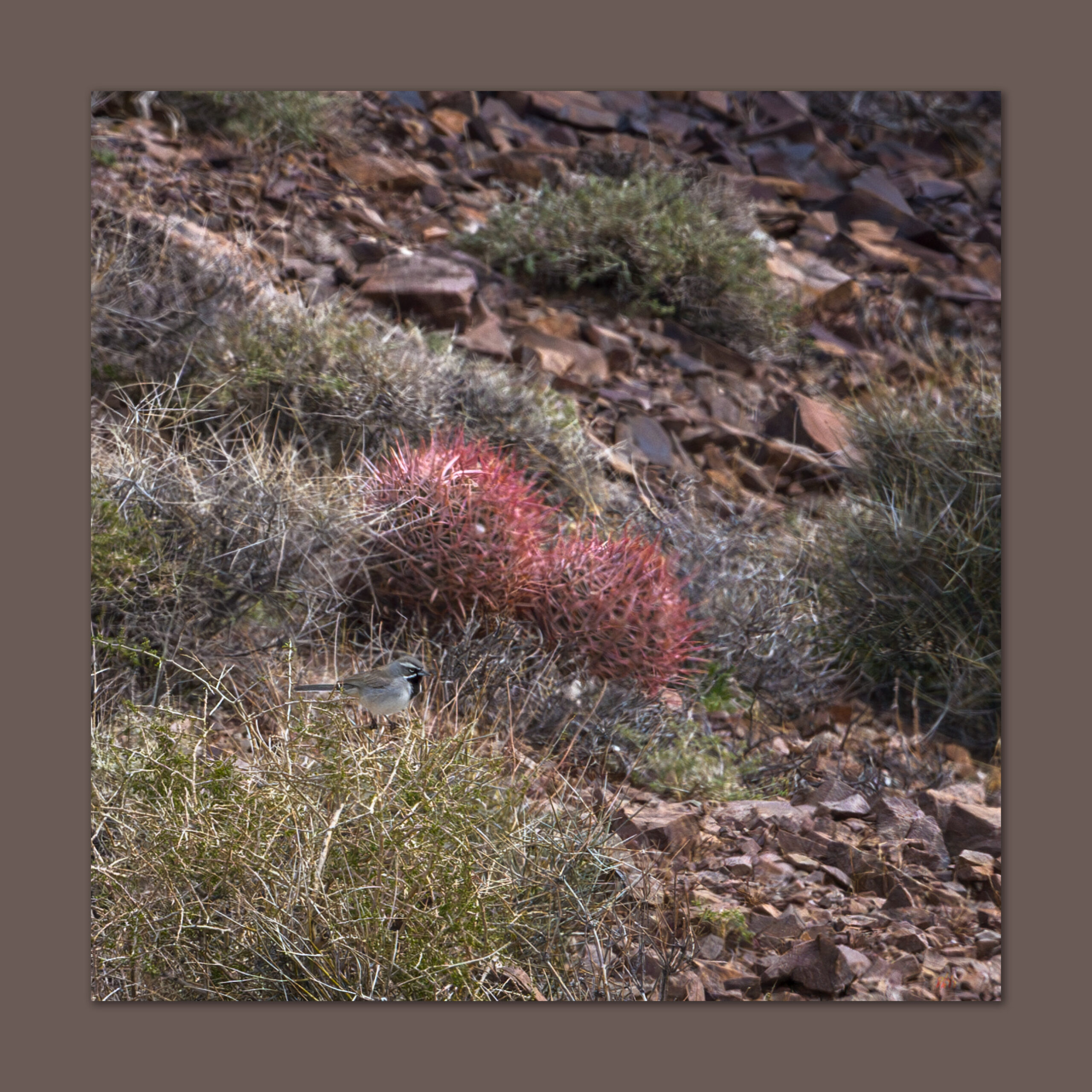
As the light grows, I am in the openness of the fans, moving between desert pavements with dark patination – old, stable fan surfaces – and incised, bouldery washes exposing light-colored alluvium disturbed only recently. The variegated surfaces alternate to reflect the temporal structure of the piedmont or bajada below the steep slopes of Shadow Mountain. A Black-throated Sparrow flits and sings among the creosote and saltbush. The beautiful, sing-song call of a Rock Wren echoes from boulders along rock levees and debris flows that choke the fan’s incised gullies. The morning is perfect. There is a pink in the sky that off-sets the dark fan surface, and newly green blooms of the desert compliment the yellow-brown of the mountain backdrop. Bright yellow highlights reach out from the growing wildflower bloom – Yellow Suncups here; I am early for the ‘super-bloom,’ but it is definitely building.

Rocky, talus-screed slopes lead to the Nevada high point at 3960’ above sea-level; I have climbed just over 1500 feet above my camp. Marked by a cairn on an otherwise non-descript ridge, the highpoint is a great viewpoint, nonetheless. Shadow Mountain looms to the south and Amargosa Valley drops precipitously to the west. The sun has risen behind me, and the wind is picking up. I cross the state border in a crease where the ridge drops from the Nevada side, I then begin a good ridge-walk toward the summit, 1000 feet or so above me.

Amargosa distance. Playa and fine-grained alluvium at a constriction of the Amargosa River from the Resting Spring Range, Mojave Desert, NV, USA (Map Point #3)

It is a nice climb with great views in every direction. While the summit of Shadow Mountain does not reach above 5000 feet, the Resting Spring Range remains a prominent landmark visible in all directions. I am happy to be on the summit and realizing I have been looking at this peak for many years, and can now enjoy it from a different perspective – it is always satisfying to be driving or flying, and while looking up (or down) at a lonely spot, knowing that I have visited and experienced it for a short time.

Black-throated Sparrow. Resting Spring Range, Mojave Desert, NV, USA

I work my way down, visually mapping the variegated alluvial fans with their shaded pavements of various ages. I can easily identify four surface ages based on the maturity of desert pavement. Dark surfaces with seemingly uniform pattern of rocks, some that fit together like gravelly puzzle pieces, are generally old. Very old; it takes hundreds of thousands of years for the weathering to create the distinct, intricate patterning. Younger surfaces will be lighter colored, with rougher surfaces, seemingly random rock patterning, and even evidence of recent flooding. And several intervening surfaces along a continuum of very old to, well, practically yesterday. From a distance, the patterns can be clear, and I often map landform age based on aerial imagery that resolves the temporal relationships nicely.

Creosote crunch. An early glow on the sparse vegetation of relic fans of the Resting Spring Range, Mojave Desert, NV, USA (Map Point #3)

This is important because archaeological sites, their age and preservation, may be patterned in close relationship that age of a landform or its surface. Sites of any age may occupy the oldest pavements – let us assume there is some clustering of plant, animal, or water resources that might have led people to this location. Because that armored surface is as stable as it is old, it is very unlikely to hold buried archaeology. So, the information you get from the distribution of artifacts on the surface is the only information you are going to get.

As we move to surfaces that have formed and stabilized in the Holocene (say, the last 12,000 years or so), we may start to see some patterning among the surfaces, with some interesting changes over time; the relative age of fan surfaces may provide the first clues in looking for such patterning. Very young fans (with evident debris flows and tumbled cobbles and boulders) suggest that most sites may have been wiped out, and while you may find some displaced artifacts, there is little detailed information in such a disturbed setting. The patterns can shift rapidly as one moves across such an ancient and complex fan.

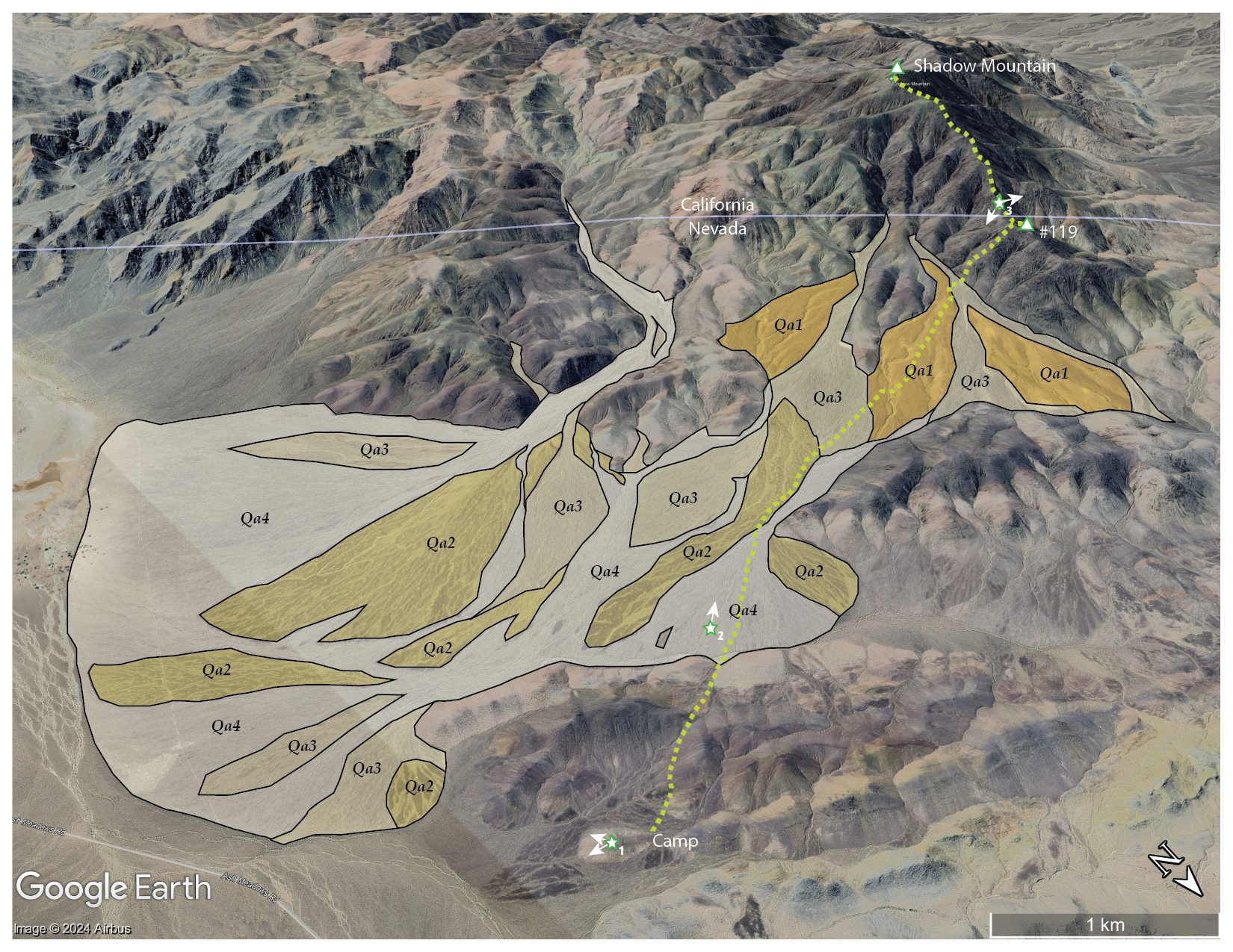
Quaternary landforms of northern section of Resting Spring Range, Mojave Desert, NV, USA

I recognized four temporal surfaces on the bajada (i.e., coalesced fans) expanding from the canyons on the northeastern side of the Resting Spring Range. On the map, Qa1 highlights the oldest surface, marked by darkly patinated and strongly developed pavement. Younger fans cut through the Qa1, leaving its ancient surface abandoned to continued slow, constant weathering. The gradient of surfaces from Qa2 to Qa4 reflects younger landforms and a general increase in recent erosion and/or deposition. The Qa4 is where the occasional floods happen or have happened relatively recently; one can hardly predict the next flooding disturbance to spread across the fans as the flashy flows find their paths basinward. A spot may be stable for centuries, until it is not.

As usual, I focus on the younger landforms (not rocks) and the processes that build the environments and habitats of today – that is why my maps only highlight the young, active landforms. The older rocks, their structure, composition, etc., play a role, but I want to document and understand the work that wind and water can do now that the mountains and hills are in their place, at the scale of the Holocene, at least. That is geomorphology, in a nutshell.

Resting Spring Collection

I reach camp happily after seven or so hours of walking out and back. It was a special and relaxing day. Unlike last month in the Last Change Range, I was well-provisioned, and my gear worked flawlessly (I did film more than I anticipated, and I should have brought my better audio set-up – the wind noise in my YouTube post embarrasses me). Although it is often better to focus on one activity during an excursion – Am I here to climb, do photography, map landforms, or make geomorphology videos? – I took the time, this time, to do a bit of everything during my walk. It is good to get a complete outing like this occasionally. This was a great one.

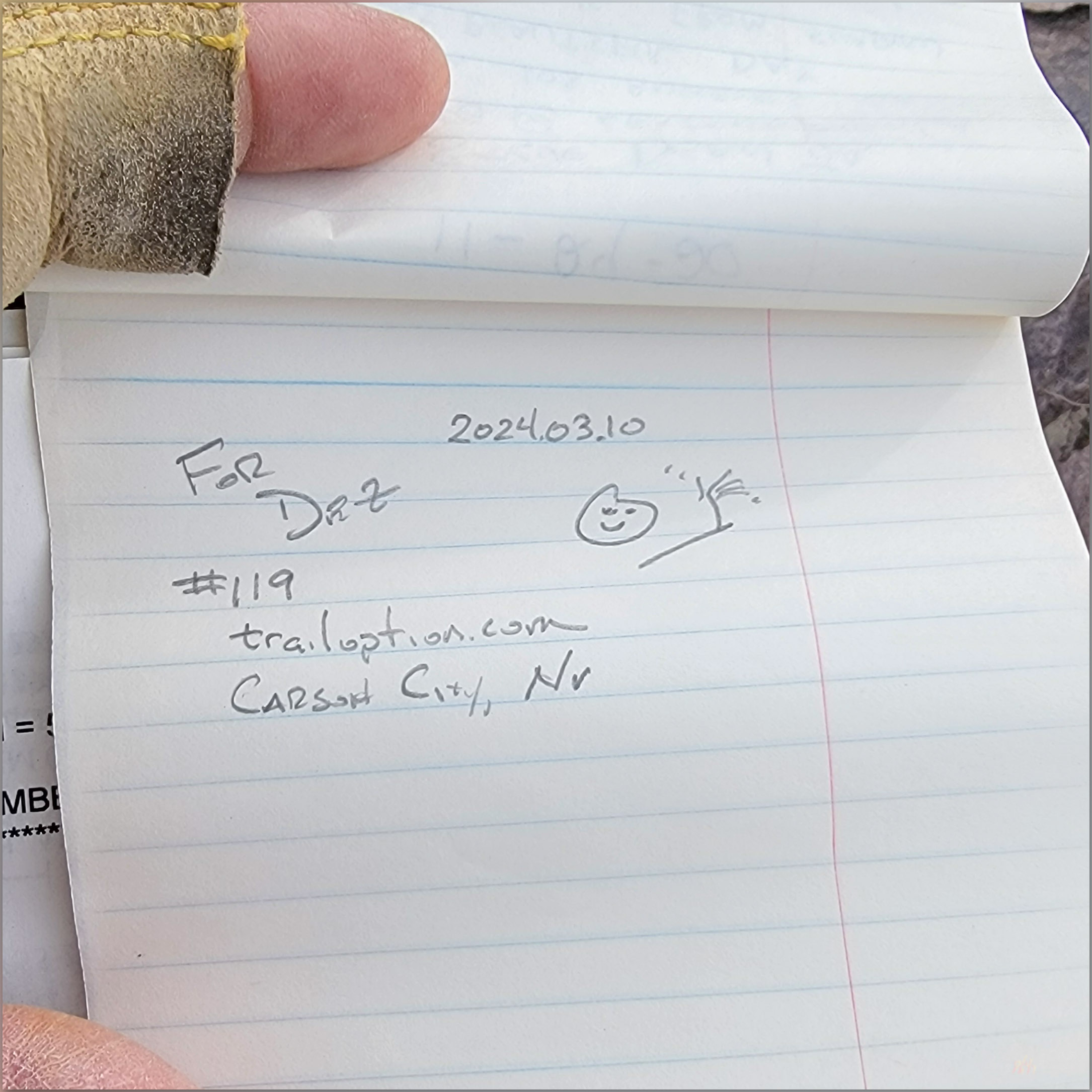
Register #119. Resting Spring Range, Mojave Desert, NV, USA

I continue this journey, after packing up my little camp, with a photographic excursion into Death Valley, and then on to more focused fieldwork in the landforms of the ancient Mojave River further south. It has begun well.

Keep going.

Please respect the natural and cultural resources of our public lands.
#naturefirst #keepgoing

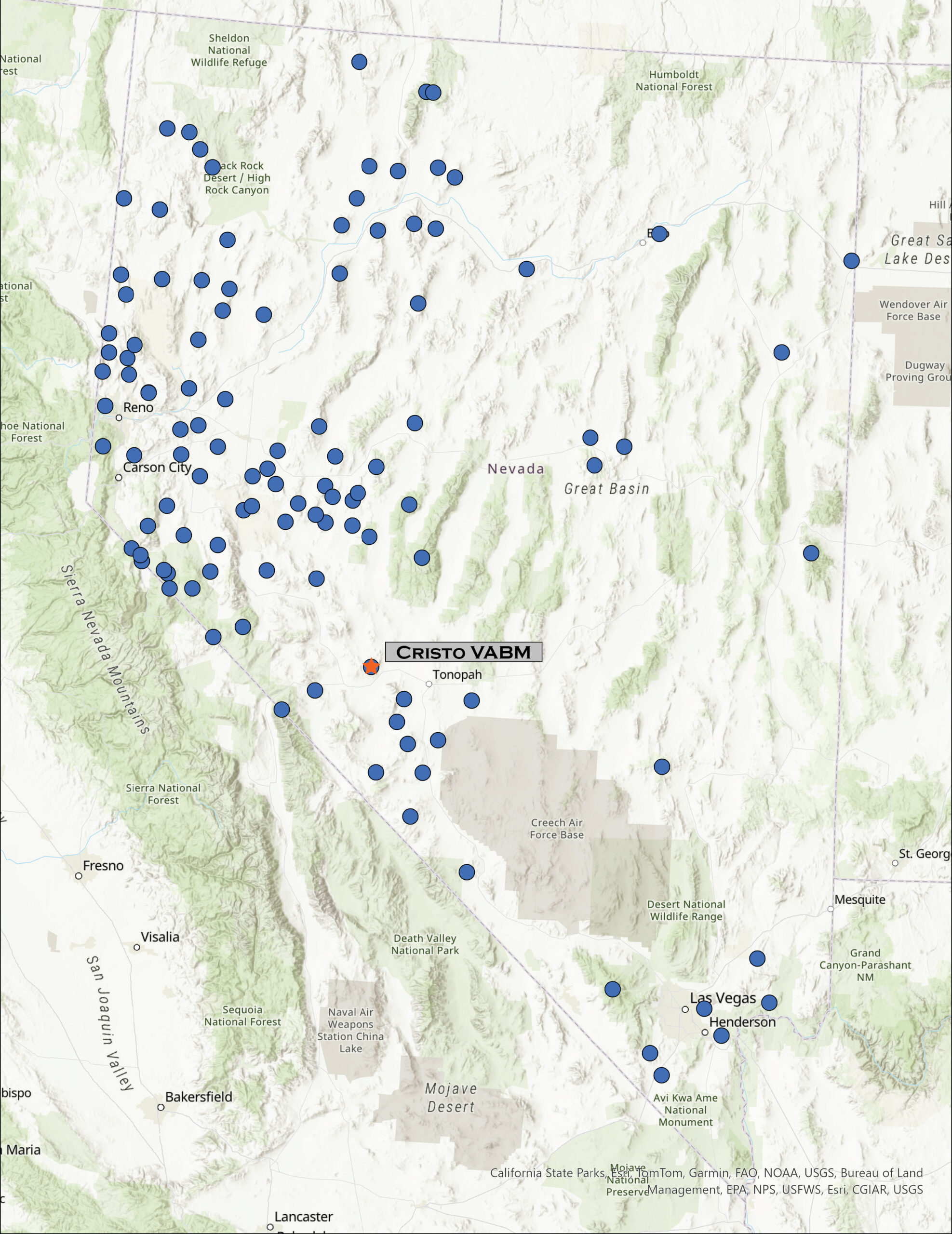
Nevada High Points #116 – Monte Cristo Range

D. Craig Young · January 15, 2024 · Leave a Comment

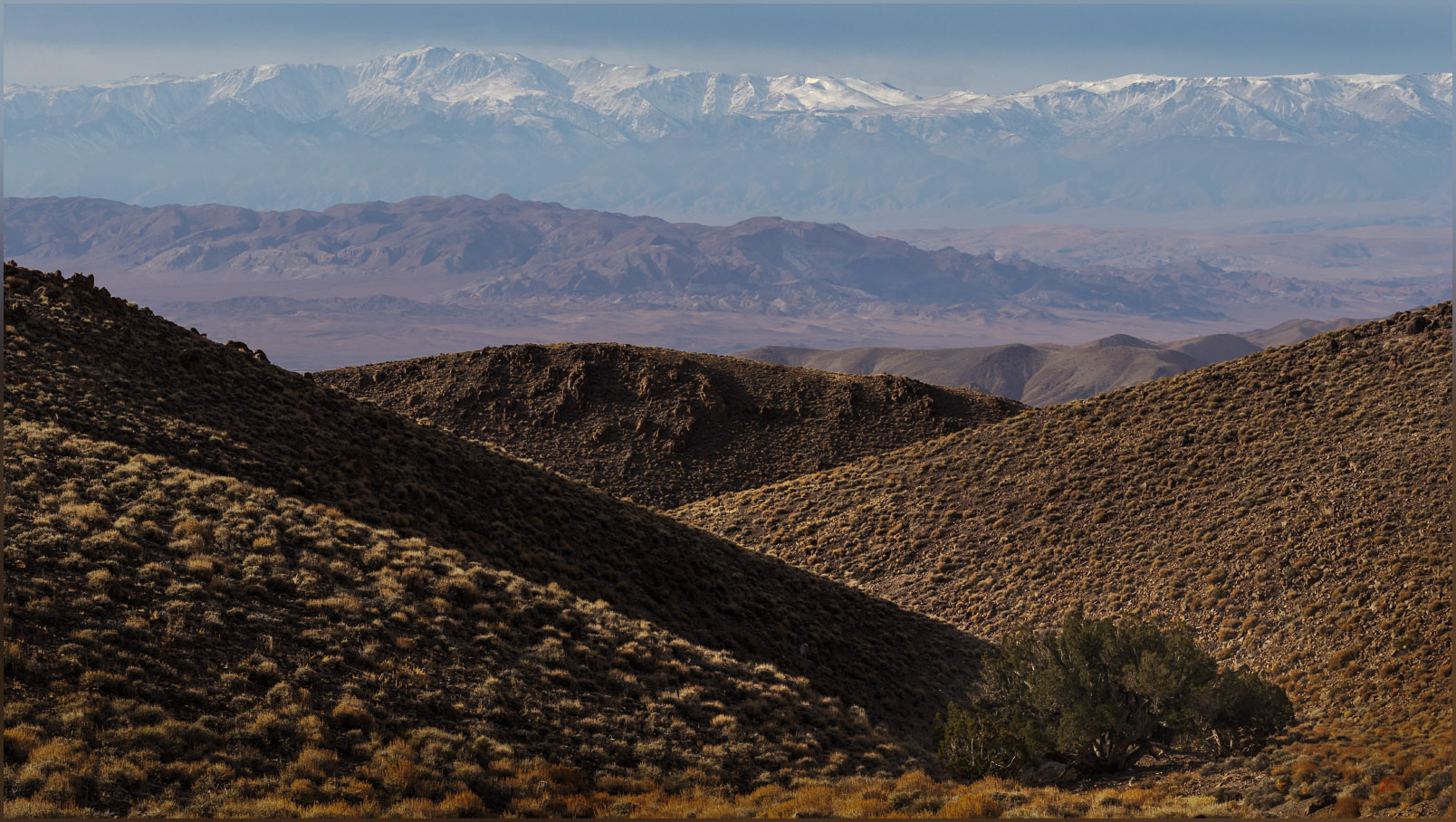
Looking west. The White Mountains of California rise beyond the Silver Peak Range west of the Monte Cristo Range, Great Basin Desert, NV, USA

Cristo VABM

7996 ft (2437 m) – 1600 ft gain

2023.12.31

Monte Cristo Collection


Headlights seem to be brighter. It is four o’clock in the morning and Highway 50 stretches out in front of me. Oddly, for a Sunday, there are several other vehicles on the road, and as I turn onto the Ramsey Cutoff, there are several cars bearing down on me, their headlights firing into the dark. Not much I can do, already certain these are the new standards and not high beams – it’s not a new thing, but for some reason it stands out in the ‘traffic’ of a dark morning, when I usually see very few other travelers.

I am dropping around the north end of the Wassuk Range, curving from Smith Valley to follow the Walker River to its terminal basin at Walker Lake, a remnant of the once vast Lake Lahontan. As the sky lightens, I can look ahead to see a long alignment of Venus, Mercury, and Mars fading quickly into the morning. There are distant clouds, low on the southern horizon, but the morning light will quickly shift to the blue sky of day – I cannot seem to time my excursions with the dramatic skies that teasingly greet each office day.

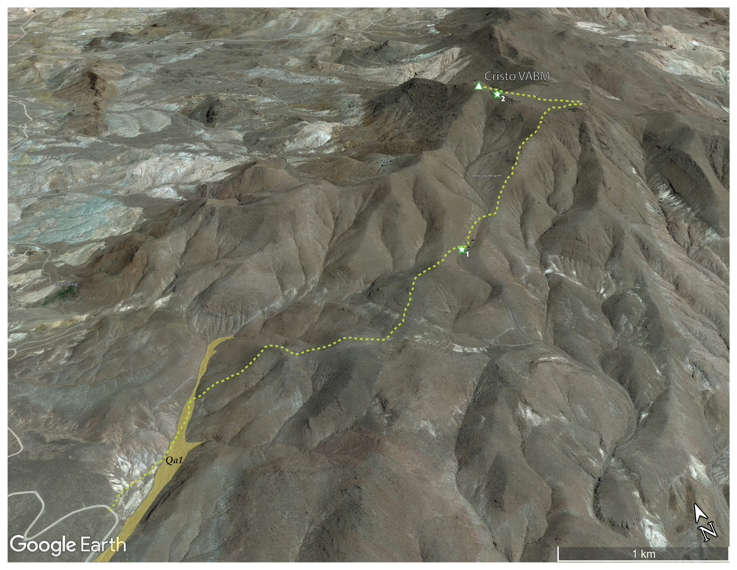
The highway quiets as I climb out of Walker Lake – this is often where the highway gets a bit busier; not today – working my way south along the Garfield Hills and then to the small enclaves of Luning and Mina. The sun is breaking above the Pilot Mountains as I pass from the Rhodes Salt Marsh to the Coaldale Marshes, now mostly broad, dry playas with local springs, relics of former oases. The Monte Cristo Range rises to the east, colorful outcrops of volcanic tuffs in the early light. I leave the highway after finding a gravel road, crispy with frost, leading north across a broad fan emanating from the low foothills at the range’s southern margin. The road has graded berms except where it drops to trace along soft washes where new sand and gravel of spring-time floods form the roadbed. It is an easy drive, except for the moments when I am heading directly into the early sun – always at a winding turn or some narrow obstacle. I am, however, soon at my planned starting point. The summit plateau of Cristo VABM rising above, about two miles distant.

Owl trees. Utah Juniper provide roosts for Short-eared Owls wintering in the Monte Cristo Range, Great Basin Desert, NV, USA (Map point #1)

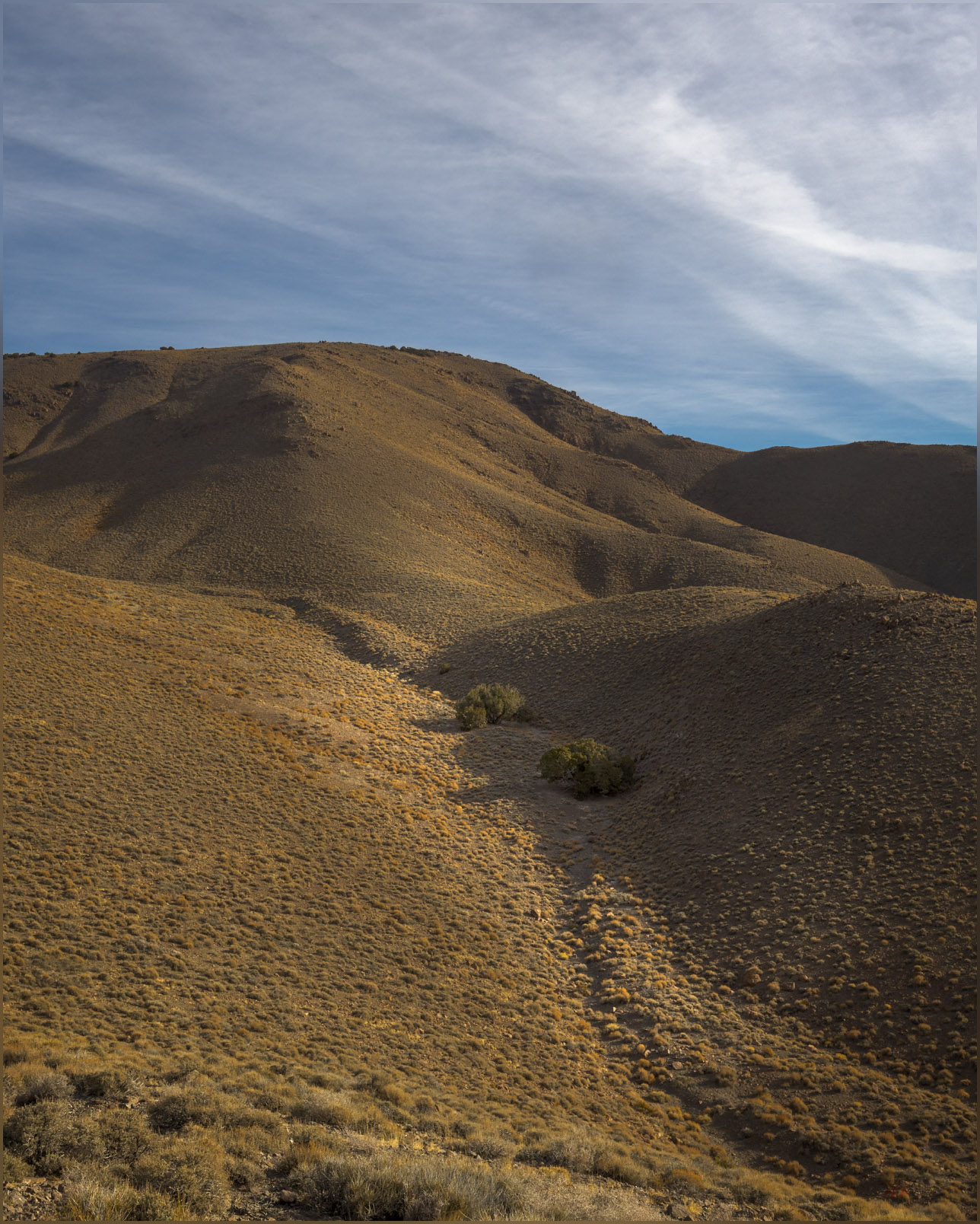
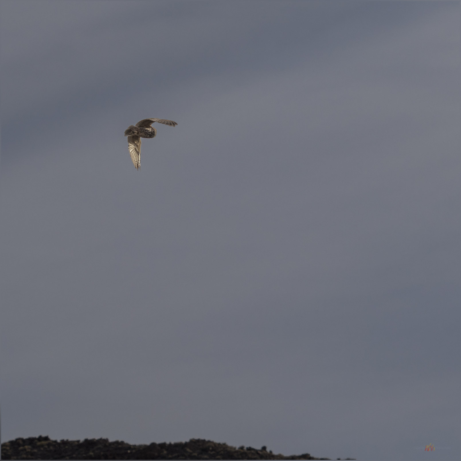
It is an easy hike up a narrow floodplain, the only mappable landform of recent formation and age (Qa1; <25,000 years or so) that I traverse today, then onto some moderately steep slopes. An intervening gully harbors a pair of juniper trees that catch my eye. I try to work some photos of them, moving in to look at the shapes among the low branches and gnarled bark, but sadly I flush a pair of Short-eared Owls from their daytime roosts. They are wonderful to see, but I do not wish to disturb them, and I hope they can settle back as I depart upwards. I only catch a glimpse as they swoop quietly away and over the adjacent ridge.

Away. A Short-eared Owl retreats at my approach, Monte Cristo Range, Great Basin Desert, NV, USA
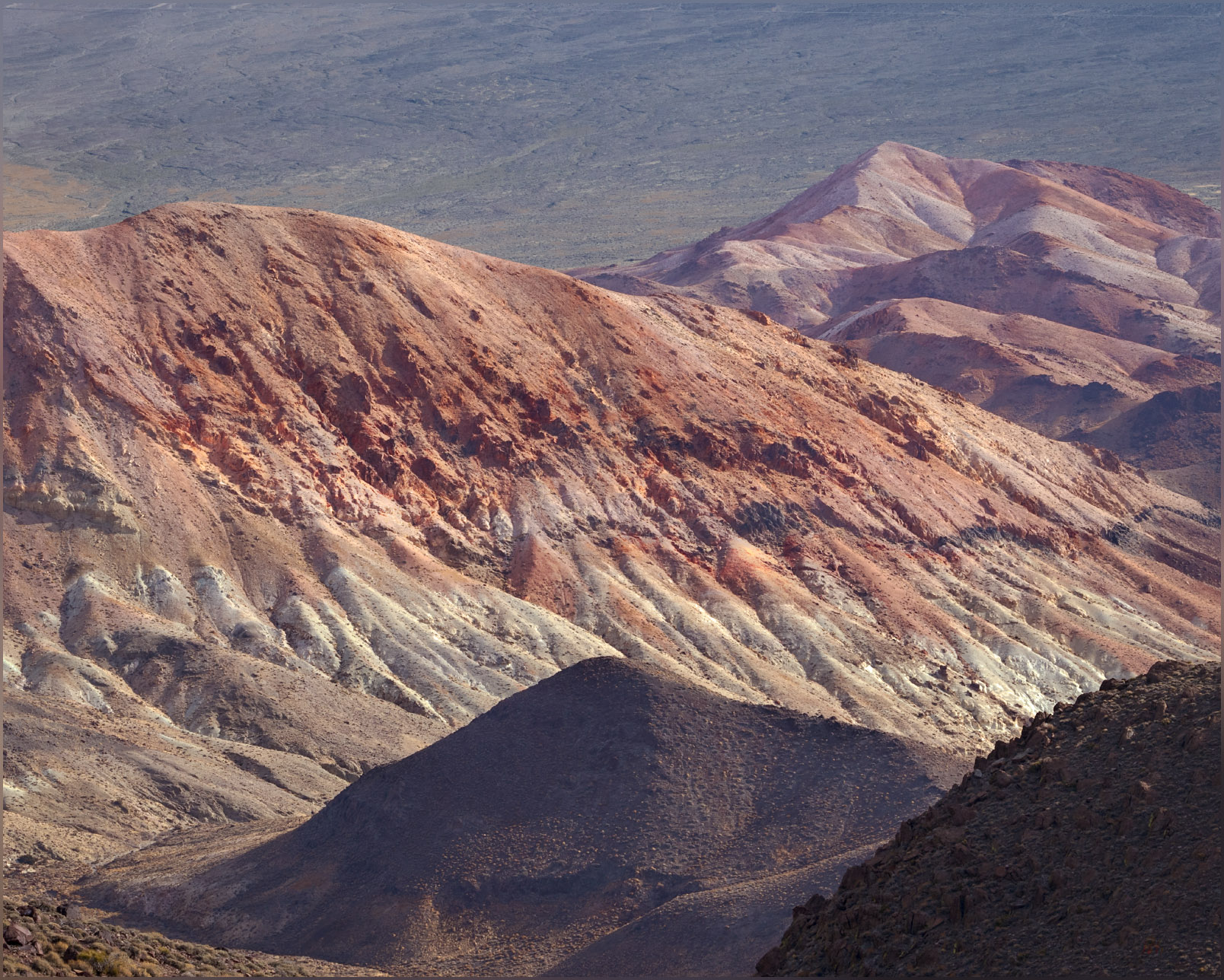
Red hills. Volcanic tuffs and minor lavas decorate the hills on the eastern margin of the Monte Cristo Range, Great Basin Desert, NV, USA

Approaching the summit plateau, I stop to check my map; is the Cristo VABM at the north or south end of the generally flat-looking landform above me. When I look up, there is a bighorn sheep, visible as only the curl of his horns and an inquisitive nod, and then he is gone. I follow as quietly as possible, ignoring the actual highpoint as I look among the small juniper bunches and surrounding boulders, checking each slope below where he had clearly retreated. But he blends in and away, and I never catch another glimpse. A hopeful and enjoyable half hour, with my camera ready, I eventually make my way to the summit cairn, working through the ragged but hardy pygmy woodland of weathered Utah Juniper to the exposed summit cairn and register.

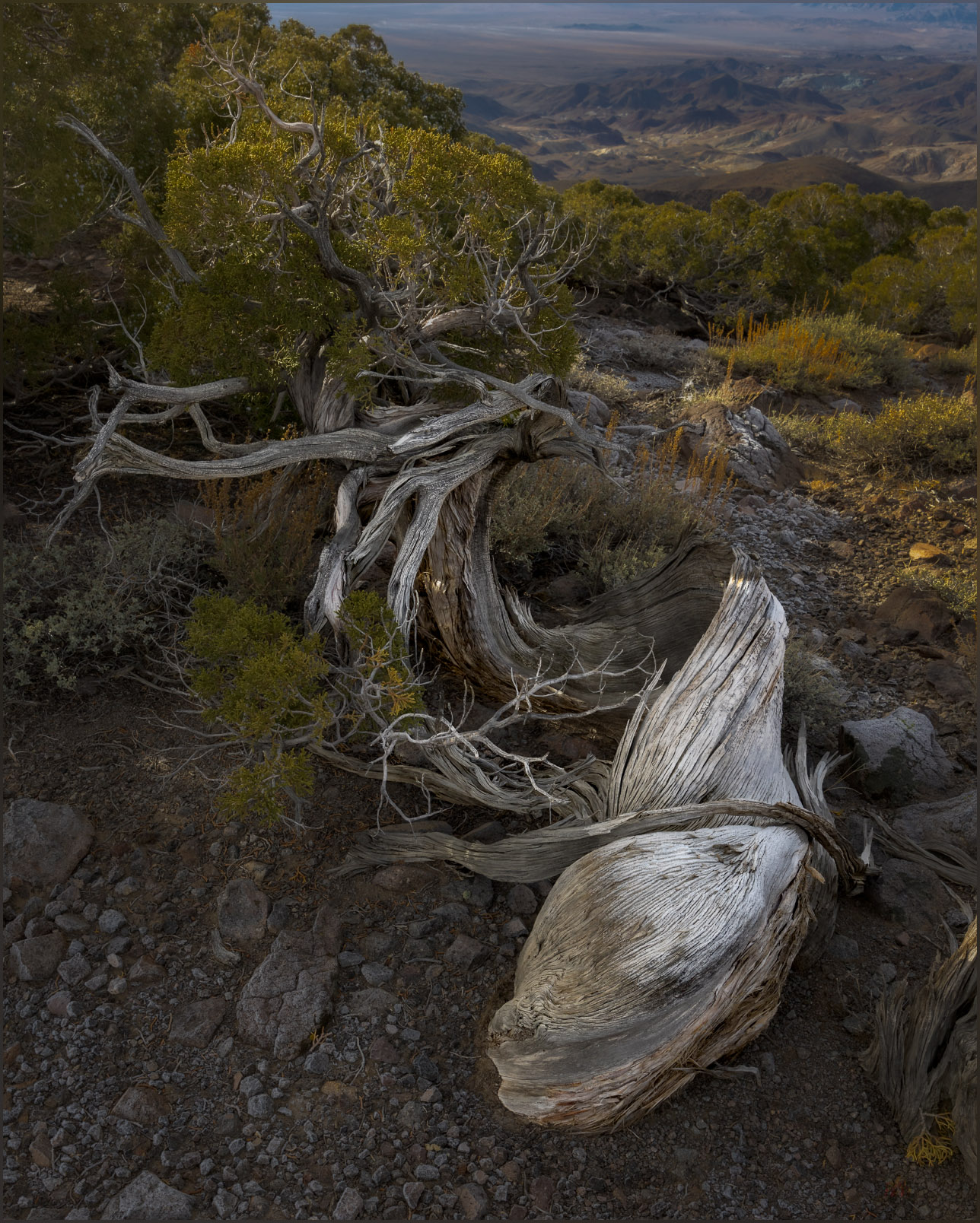
Relinquish. A Utah Juniper hangs onto the summit ridge of the Monte Cristo Range, Great Basin Desert, NV, USA (Map point #2)
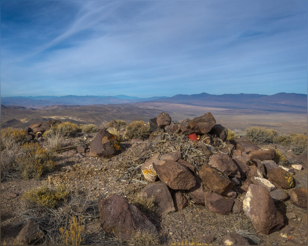
Red register. Cristo VABM, the summit of the Monte Cristo Range, Great Basin Desert, NV, USA
Register.

The summit views are the typical splendor; something that is never lost on me. The White Mountains of California on the western horizon, their northern tip sticking into Nevada as the pinnacle of Boundary Peak. Desert mountains surround me, some I have visited while others remain targets for future excursions. I can look down on the historic location of Gilbert with its few mining relics dotted among myriad tracks and trails – and a misplaced, modern trailer or something.

Gates. Drainages originate in steep steps of welded tuffs below the summit of the Monte Cristo Range, Great Basin Desert, NV, USA

Monte Cristo Collection

It is the last day of 2023. I managed to visit ten highpoints this year, not the one-a-month I plan for, but still a fortunate series of excursions, maps, images, and stories. The mountains and hills, large and small, continue to amaze and attract me. I cannot explain the traffic of the early morning, but it was an easy escape, on some dirt and a game-trail, to the quiet of the mountains to close out the year. My apologies to the owls, whom I disturbed from their rest. I will remember to approach softly next time; I should assume an isolated stand would hold an otherwise safe roost. Pardon my interruption — it is the same restful quiet I seek in the desert enclaves of unnamed canyons and their tributaries.

Keep going.

Click to subscribe!

Please respect the natural and cultural resources of our public lands.
#naturefirst #keepgoing

Nevada High Points #115 – Mountain Boy Range

D. Craig Young · January 12, 2024 · Leave a Comment

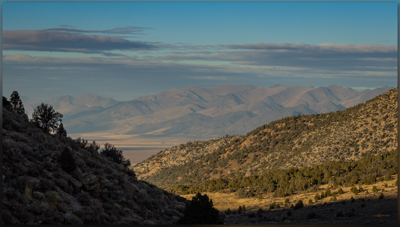
Below Mountain Boy. Looking into Diamond Valley from the slopes of the Mountain Boy Range, Great Basin Desert, NV, USA

Peak 8083

8083 ft (2464 m) – 804 ft gain

2023.11.09

Mountain Boy Collection


Following several days of landform reconnaissance along Highway 50, across central Nevada, I met Darren in Austin, Nevada, where he had been working with a crew recording archaeological sites in the Toiyabe Range. It was the end of a working field rotation, but we decided to take advantage of Second Friday, heading toward the Mountain Boy Range near Eureka. We skirted along the northern and eastern margins of the range on a well-used dirt road through Spring Canyon. This leads to the eastern arm of Spring Valley, tributary to Diamond Valley to the north, below the Mountain Boy Range and the much more prominent Fish Creek Range – I look forward to climbing to its high point at Prospect Peak.

Gentle summit. It is an easy gradient toward the high point of the Mountain Boy Range, Great Basin Desert, NV, USA

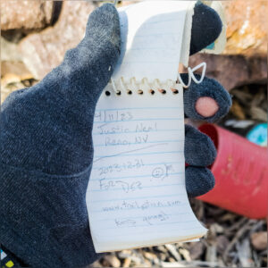
We walked the road for a while before turning uphill to the north. It is an easy wander through pinyon-juniper woodland, skirting new snow, to the broad summit at Peak 8083. Spanish Peak looks nice to east and it is a more well-defined ‘peak, but it is lower than the rocky plateau where the ‘peak’ of Peak 8083 is a misnomer. Moving back and forth from rock to rock, hummock to hummock, we had to search for the small cairn that held the summit register. Still, it was nice to be at altitude and get a walk in, once again, with Darren.

Mountain Boy register. The summit register rests in a low cairn marking the broad high point of the Mountain Boy Range, Great Basin Desert, NV, USA
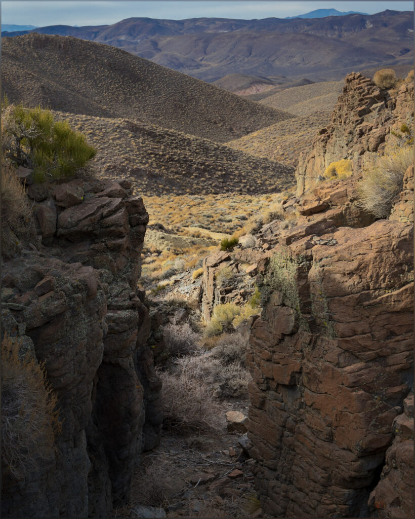
Light tips. Last light in a canyon of the Mountain Boy Range, Great Basin Desert, NV, USA
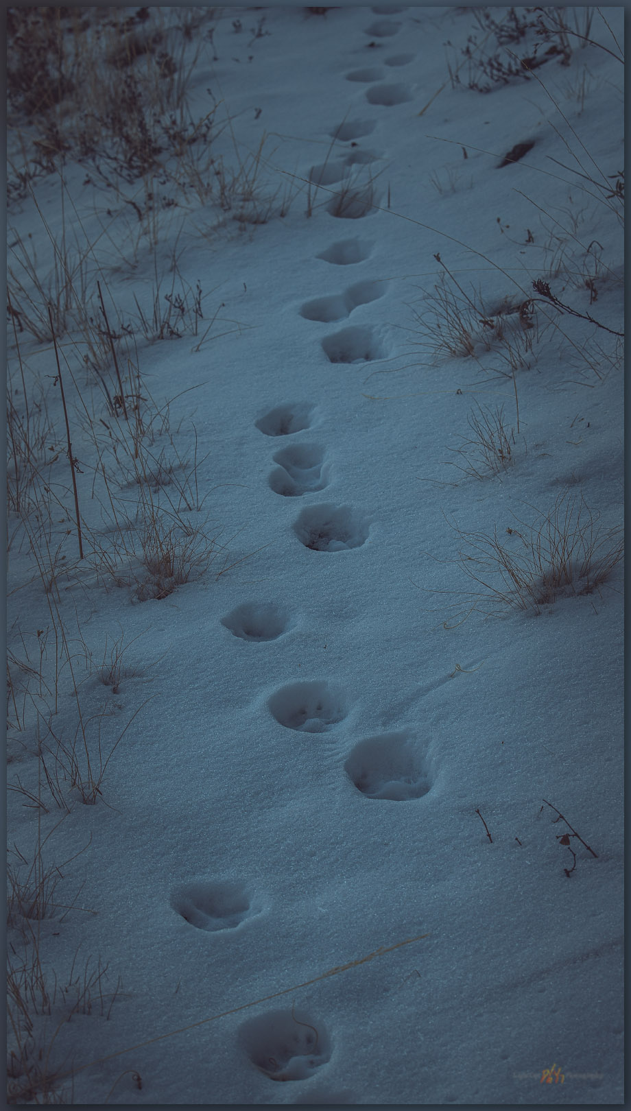
Tracking away. A coyote traverses away from the summit of the Mountain Boy Range, Great Basin Desert, NV, USA
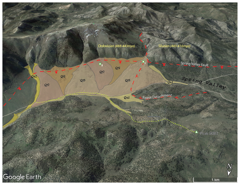
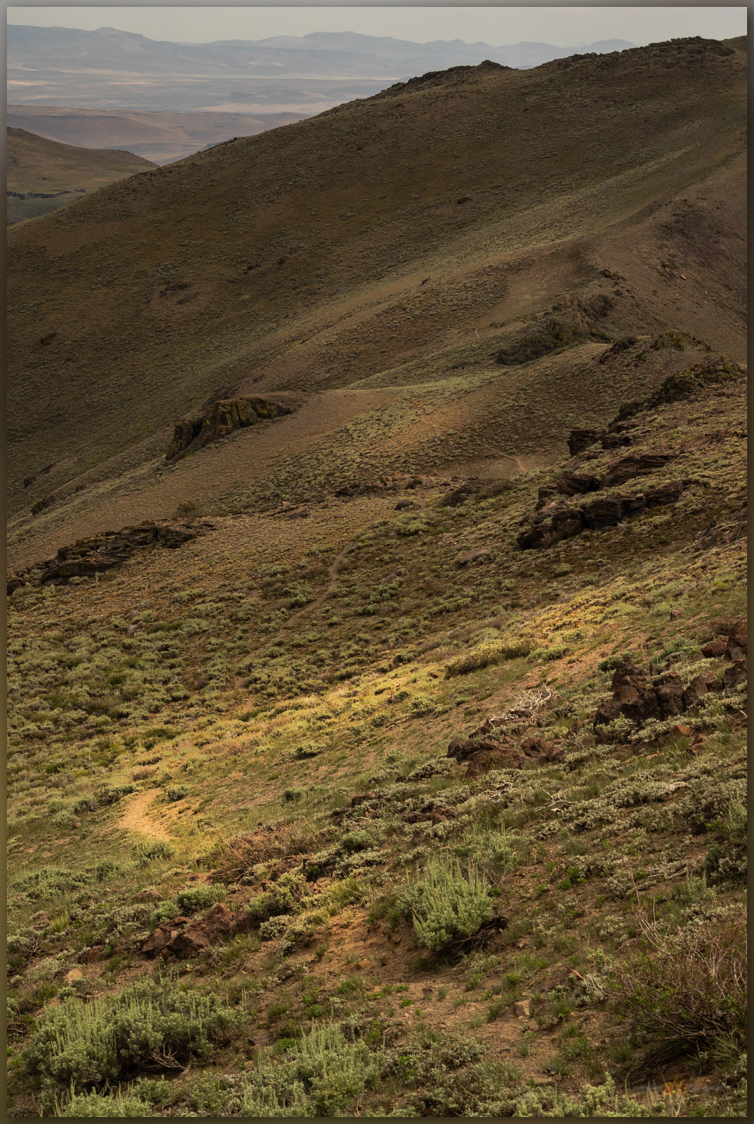
On the way down the south-facing slopes, after tracking through some snow patches following a coyote, I focused on the broad set of alluvial fans emanating from the Fish Creek Range. There is a lot going on there. I easily recognized a series of overlapping alluvial fans, their cross-cutting relationships clear in the contrast of golden-hour light; these would make a nice map. There are at least three ages of fan development along the mountain front. The oldest ones (Qf1) are generally smooth with younger fans truncating their ends, the youngest (Qf3) have rough surfaces formed of convex debris flows and intervening rills. Active drainages (Qa2 and Qa1) combine along the ends of the fans to direct runoff into Spring Canyon and on to Diamond Valley.  

Quaternary landform map of eastern Spring Valley at Peak 8083, Mountain Boy Range, Nevada
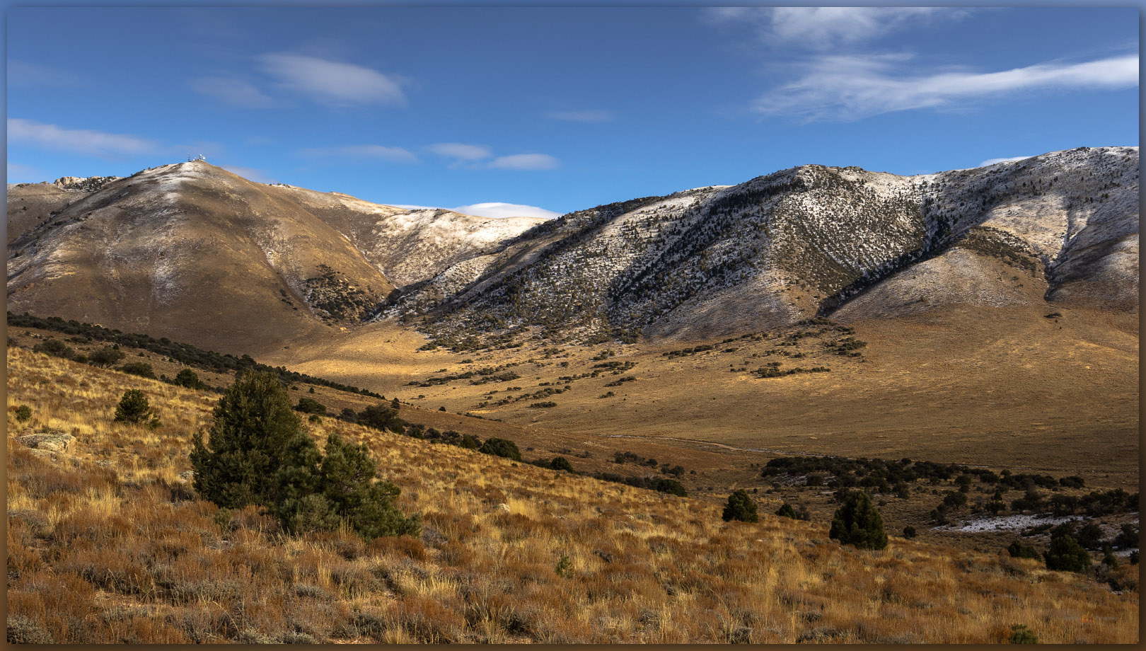
Intersections. The Spring Valley fault intersects the Reese Detachment fault, now buried by an alluvial fan in upper Spring Valley, Great Basin Desert, NV, USA (Map Point #1)

The fans originate at the foot of the mountain front where a typical normal fault – the Spring Valley fault – forms the valley footwall with the hillslope headwall lifting upward. But from the Mountain Boy Range, a unique break is evident in the rocks of the Fish Creek Range. The west ridge of Prospect Peak – toward White Mountain and beyond – is broken by a gradual, low-angle detachment fault formed as the regional mountain blocks tilt and drop in the long-term expansion of the Basin and Range Province. This is the Reese Detachment where Silurian (443 to 416 million years ago) limestones lay against Ordovician (488 to 443 million years ago) limestones and quartzites, the way books slide and fall as bookends are removed. It is a subtle change, as detachment faults are not typically as dramatic as the steeper normal faults that jump along the valley margins, but the change in rocks is very clear, here forming a small reentrant canyon where one of the younger alluvial fans begins. The rocks of the mountain are very old (100s millions), the Reese detachment is old (10s of millions), the Spring Valley fault is young (a few million), and the fans are younger still (10s of thousands to today). It is a fascinating picture, time holding still (at the day’s scale), evident on a simple walk traversing from an unobtrusive high point to an axial valley, watching the opposite hills rising to a mosaic of landforms and rock units.

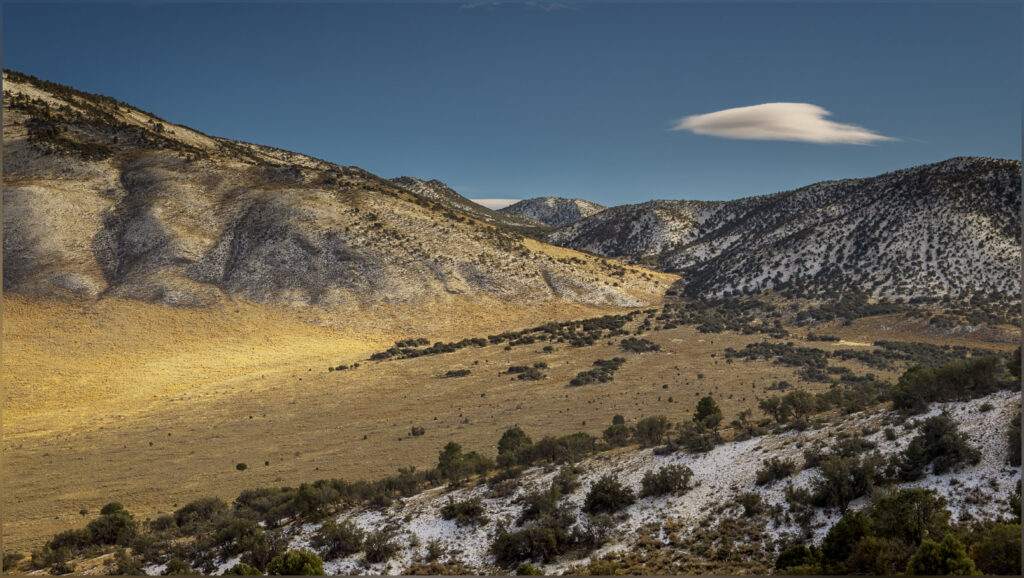
Upland valley fans. Alluvial bajada below the ridges of Prospect Peak in the Fish Creek Range. Opposite the Mountain Boy Range, Great Basin Desert, NV, USA
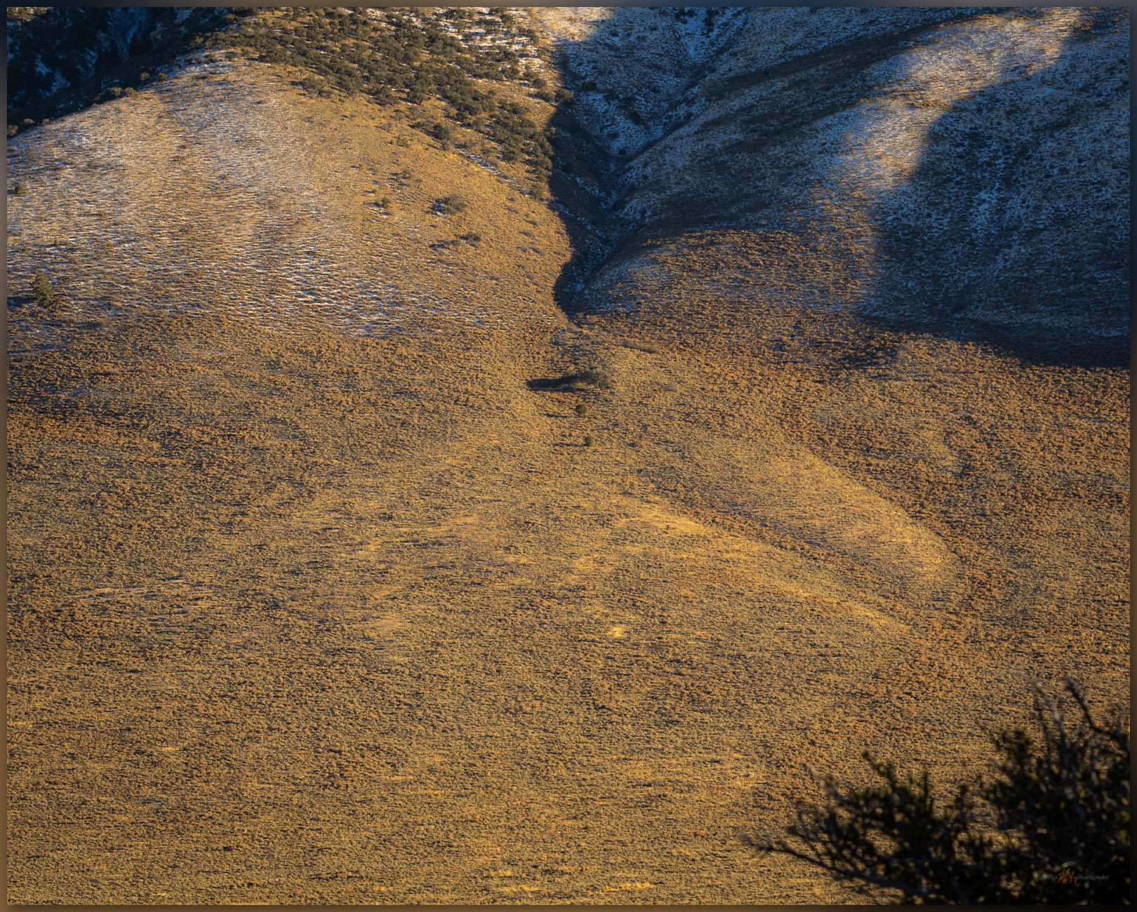
Last fan. Sediment responds to change in slope below the Mountain Boy Range, Great Basin Desert, NV, USA (Map Point #2)

Mountain Boy Collection

Although I recognized the alluvium of the valley margin as we walked, the bigger picture of time and space only opened to me as I looked into a set of maps to see where we had been. I had slowed to take photographs along the way, pointing my camera at patterns that caught my eye. The mountains are wonderfully colorful, but they became even more wonderful as I pieced together the puzzle collected in the regional maps of the USGS. This is yet another way that the landscape shares its wonder, even when the ‘high point’ of a small group of hills is neither as prominent nor as dramatic as its neighbors. Our curiosity pays off once again.

Keep going.

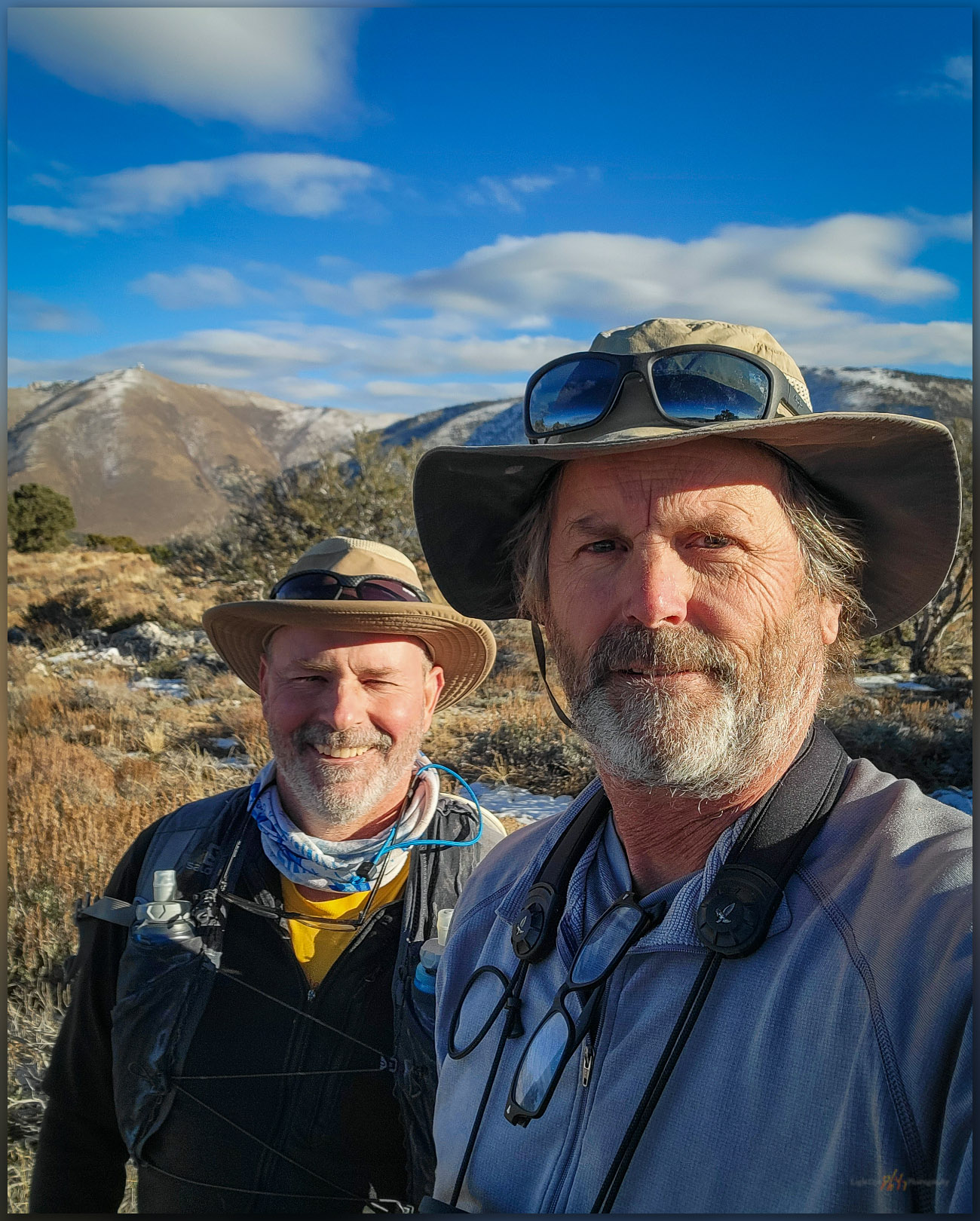
Brothers. A good walk in the hills of the Mountain Boy Range, Great Basin Desert, NV, USA

Nevada High Points #114 – Martin Creek Mountains

D. Craig Young · January 7, 2024 · Leave a Comment

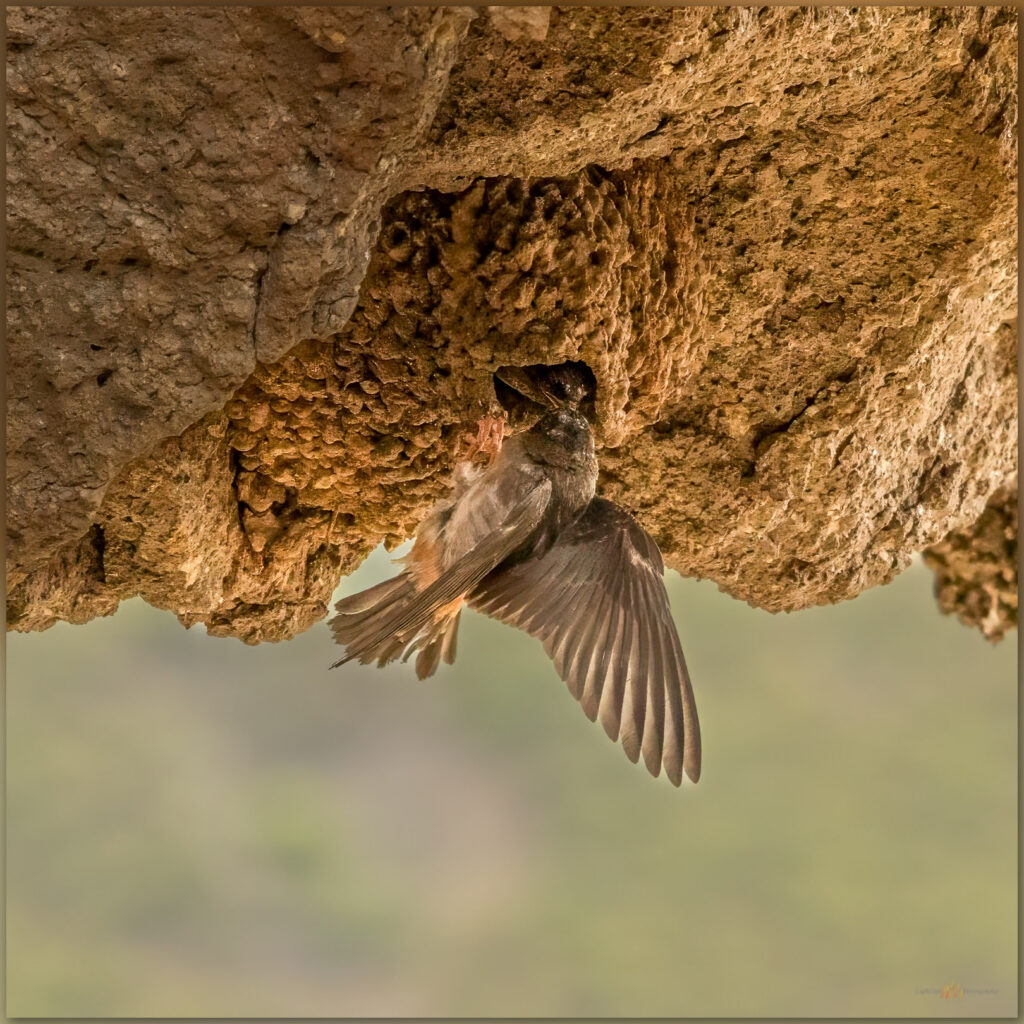
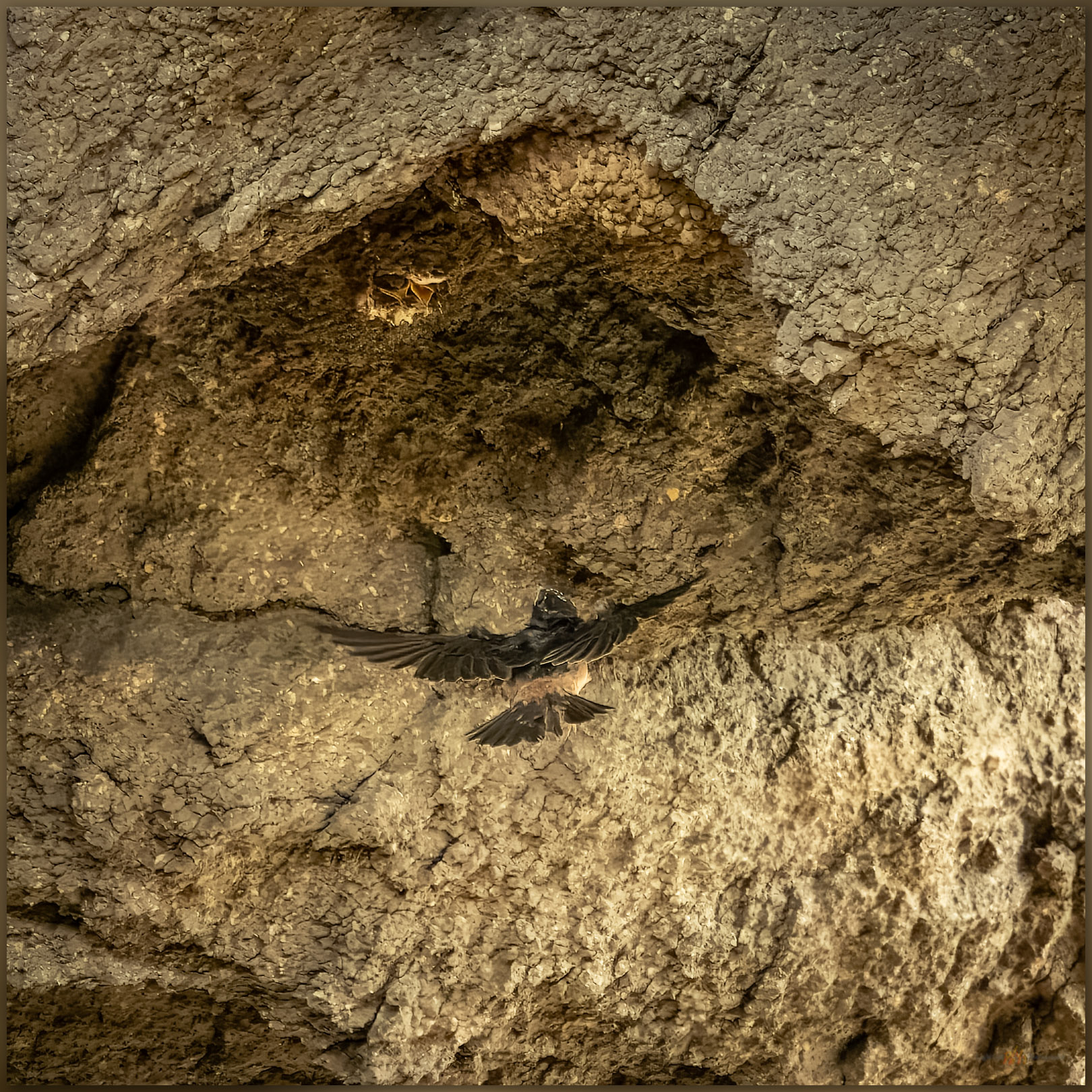
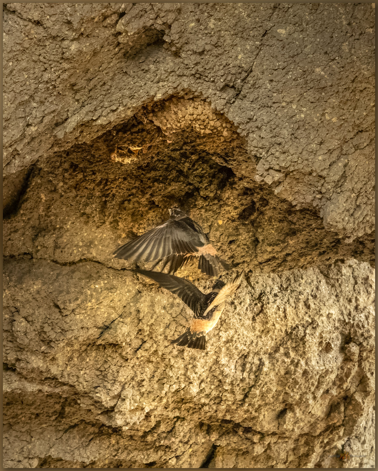
Feeding. A Cliff Swallow supplies the nestling in Hinkey Arch, Martin Creek Mountains, Great Basin Desert, NV, USA

Eatons Peak

8560 ft (2609 m) – 940 ft gain

2023.08.14

Martin Creek Collection


While returning from meeting with the tribal council of the McDermitt Paiute and Shoshone, after presenting some recent project results, a colleague and I decided to turn into the northern Santa Rose Mountains to find the small range known as the Martin Creek Mountains. These form a low ridge that extends from the Santa Rosas, east of Hinkey Summit at the northern end of Paradise Valley. I have been at Hinkey Pass many times, looking into the Martin Creek Mountains but not realizing or remembering this small range was on my list. Erik and I approached from the north on the Buckskin Road, a bit mesmerized by riparian productivity we had not experienced in ranges to the west – the prominence of the Santa Rosas has an orographic pull on the limited annual moisture reaching into this area of the northern Great Basin.

We stopped at Hinkey Summit where a two-track splits east to Eatons Peak, where a communications box marks the high point. I started from this same spot when I visited Granite Peak (HP #33), the highpoint of the Santa Rosas at almost 10,000 feet, in October of 2001, wandering up the ridges to the west. The trail to Eatons Peak is not long and not particularly interesting, but the views are expansive and worth the short hike.

Granite Peak. The high point of the Santa Rosa Range across Hinkey Pass; climbed in 2001. From the Martin Creek Mountains, Great Basin Desert, NV, USA

Walking upward, we encounter a surprising arch. From the east, one looks downward, steeply, through the throat of the arch, which funnels colluvium of talus boulders into a prominent apron leading to the Hinkey Summit road. I must have seen this on every previous trip into the Santa Rosas, but it is fun to have approached from the north – I almost always came from the south where the arch is obvious – and to have my memory restored by walking up on its obscured, eastern side; obscured, that is, until the slope suddenly drops away into the gullet of the opening, only a winding road visible through its window. Cliff swallows pass acrobatically through the arch, guided to their hanging nests by much clearer memories and the calls of hungry chicks.

Hinkey arch. The ground drops away on the western ridge of the Martin Creek Mountains, Great Basin Desert, NV, USA (Map Point #1)

We leave the road to wander the outcrops forming the ridge to the summit. The sky is a treat today and there is dust in the air, so photography is interesting and fun. We are at the summit register easily, it is only a small cairn next to the communications box. A trail east catches my attention, and I can see that this could lead into some interesting country on its way to Martin Creek, the namesake drainage that bounds the ranges east side. There are several other small ranges to walk in this area, so I am hopeful that this trail hints at others further east. Again, I forget how interesting the hills rising from Paradise Valley are, even as I lived in Winnemucca once-upon-a-time and not so far away.

Follow me. Trails lead from the low summit of the Martin Creek Mountains, Great Basin Desert, NV, USA
Volcanic edge. Outcrops of rhyolitic tuff in the Martin Creek Mountains, Great Basin Desert, NV, USA
Erik Martin in the Martin Creek Mountains, Great Basin Desert, NV, USA

The volcanic rocks of the Martin Creek Mountains are fractured and peeling away from the rising pluton that forms the Santa Rosas to the west – these are remnants of the volcanic blanket of lavas and tuffs that extruded from vast calderas that rose and collapsed in the eruptive turmoil of the middle Miocene, some 15 to 20 million years ago, in this area of ancient Nevada. The lichen-coated volcanics drop to a fractured landscape, probably remnants of caldera margins, that seem to hide green vales and woodlands, the dust and light playing tricks on the scale of the rugged landscape. Our route lacks mappable landforms of recent process other than the colluvium of talus that forms a common surface veneer; some of the talus is funneled through the arch to the slopes below.

Rugged refuge. Crags of the Martin Creek Mountains, Great Basin Desert, NV, USA
Mouths to feed. Cliff Swallow at Hinkey Arch, Martin Creek Mountains, Great Basin Desert, NV, USA

I stop for a while to watch the swallows feeding their young in the upside-down world of their hanging nests. They circle through the opening, occasionally rocketing skyward to loop around the ridge and drop into the sunshine of the larger, west-facing opening. The parents hover momentarily as the chicks chirp their pleas and poke out of conical mud nests. With a careful, acrobatic burst the parent rises to the gaping mouths and shares whatever sustenance it had captured. I back away as a few become annoyed with my presence – no need to get too close, I do not want to interrupt the busy families.

Helping pair. Cliff Swallows return to the nest at Hinkey Arch, Martin Creek Mountains, Great Basin Desert, NV, USA

Martin Creek Image Collection

It was an easy walk at the end of a long day, and we had longer to drive home. The refreshment of a good hike, and reminder of some landscape I once felt more familiar with, was worth the detour from our work-day itinerary. As is so often the case, the small hills hide their own treasures, revealing views, hidden trails, and lively habitats that would be missed otherwise. I look forward to future excursions here above Paradise Valley, pushing into the hills that will, like Martin Creek, hold a few secrets of their own.

Keep going.

  • « Go to Previous Page
  • Page 1
  • Page 2
  • Page 3
  • Page 4
  • Page 5
  • Page 6
  • Interim pages omitted …
  • Page 19
  • Go to Next Page »

Trail Option

Copyright © 2026 · Monochrome Pro on Genesis Framework · WordPress · Log in

  • Contact TrailOption
  • Substack
  • Waypoints Bibliography
  • Young Archives