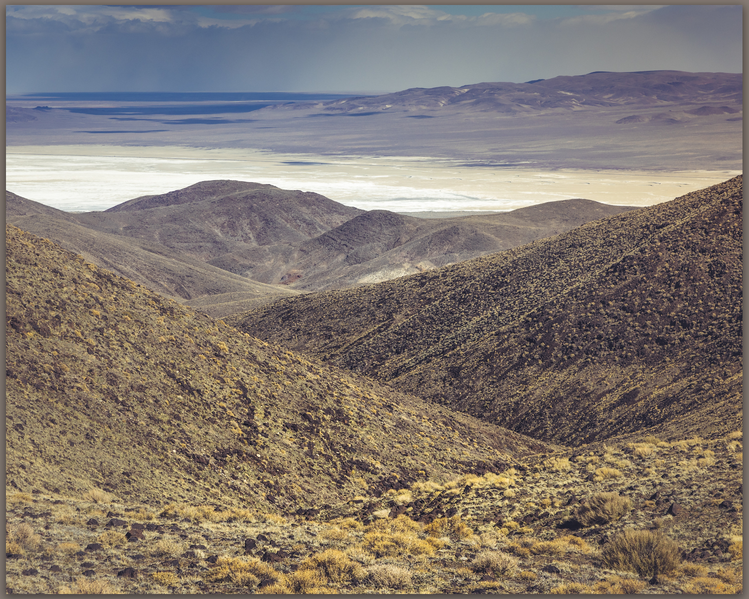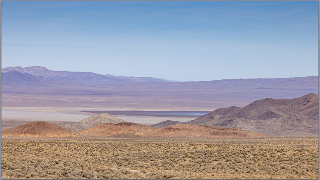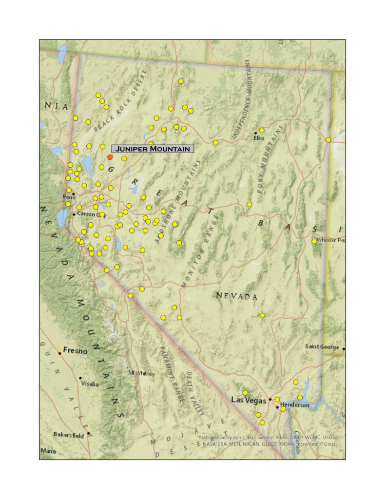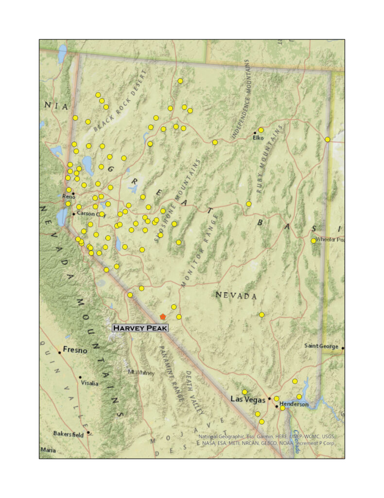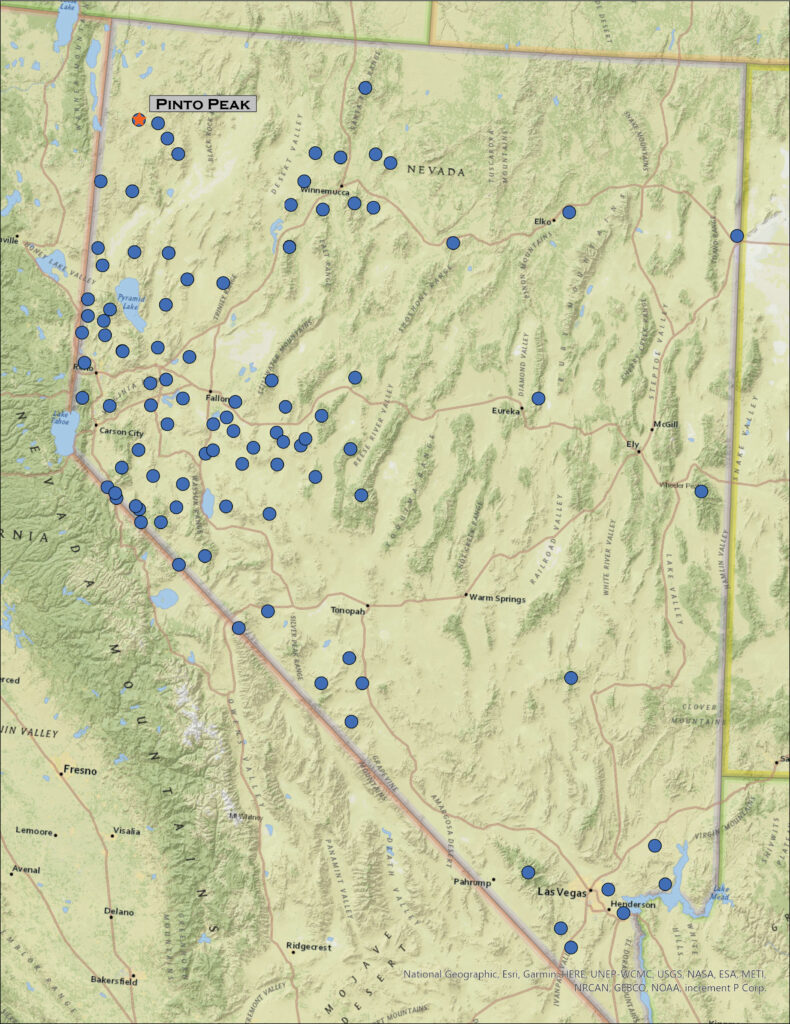
The ancient Cottonwood Caldera, a massive volcano that erupted sometime around 17 million years ago, dominates the landscape west of High Rock Canyon and the Black Rock Desert. With basin-and-range faulting, several small ranges form the rough bounds of the much older caldera. Obsidian that formed during the eruption drapes many area landforms, so I have been gouging around this area for several decades mapping the natural distribution of this traditionally important toolstone to provide geographic setting for archaeological study of the technology, movement, and economy of people who have called northern Nevada and the larger Great Basin home for millennia – the geochemistry of obsidian provides direct connection to these things.
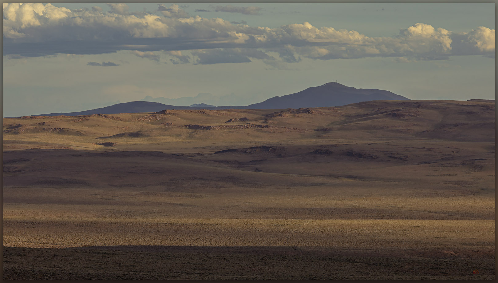
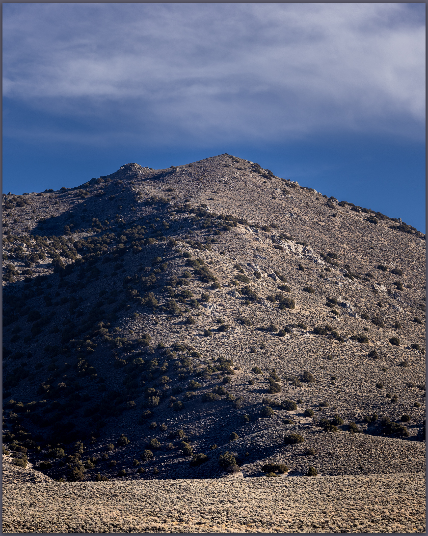
But this is a high points blog. I mention calderas and obsidian because quite often, if not always, and among other things, this research motivates my backcountry travel, at times it even funds it. I am fortunate that my vocational and avocational activities are intertwined and embedded with almost everything I do – it is who I am. So here I am out with my field team in the middle of the Cottonwood Caldera, drawn in the evening to Pinto Peak on the caldera margin.
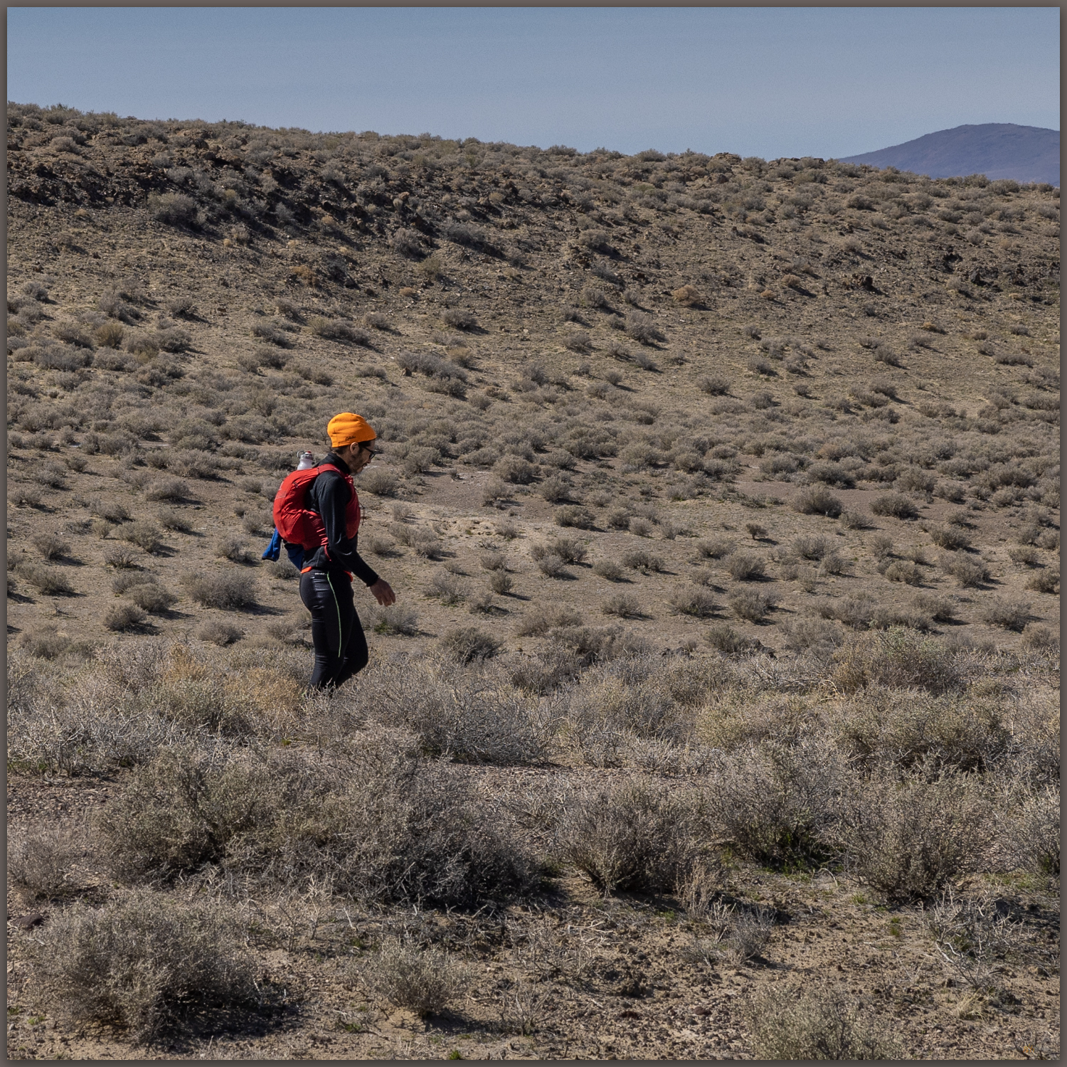
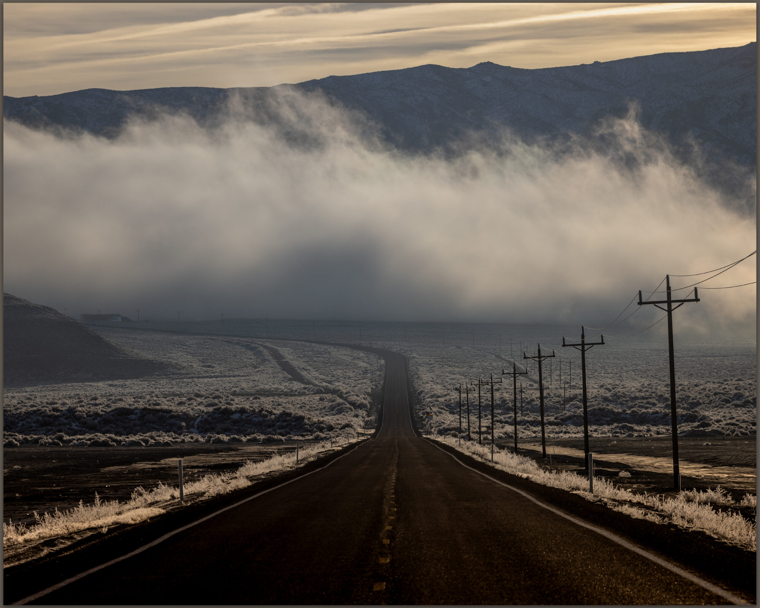
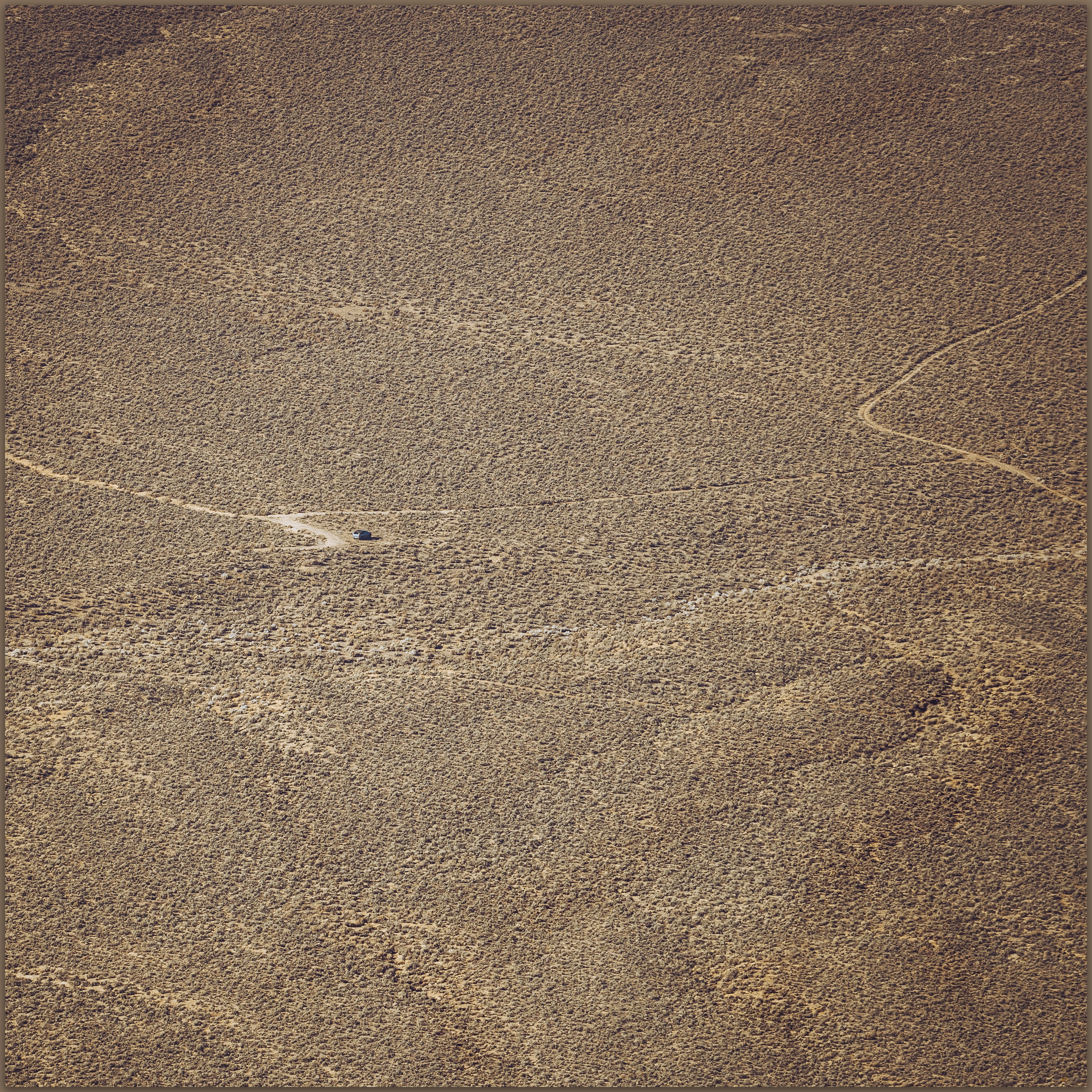
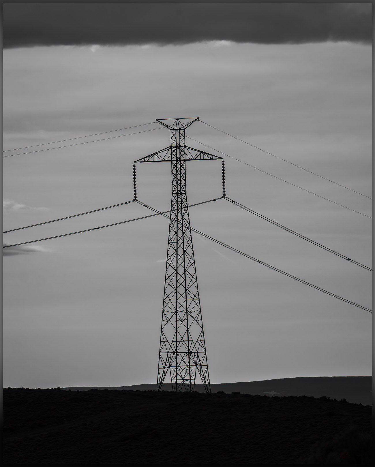
Pinto Peak is a simple walk of about a mile from the old ‘Bonneville DC line’, at one time rumored to be one of the few, if not only, untapped DC transmission lines of its size, spanning the distance from the Columbia River to Los Angeles. Coincidently and maybe unfortunately, the line bisects basins I have long been interested in, from the northern Great Basin to the Mojave Desert. I have followed its maintenance road for hundreds of miles mapping landforms and obsidian. Here I am again, parking under a pylon and walking away from the setting sun.
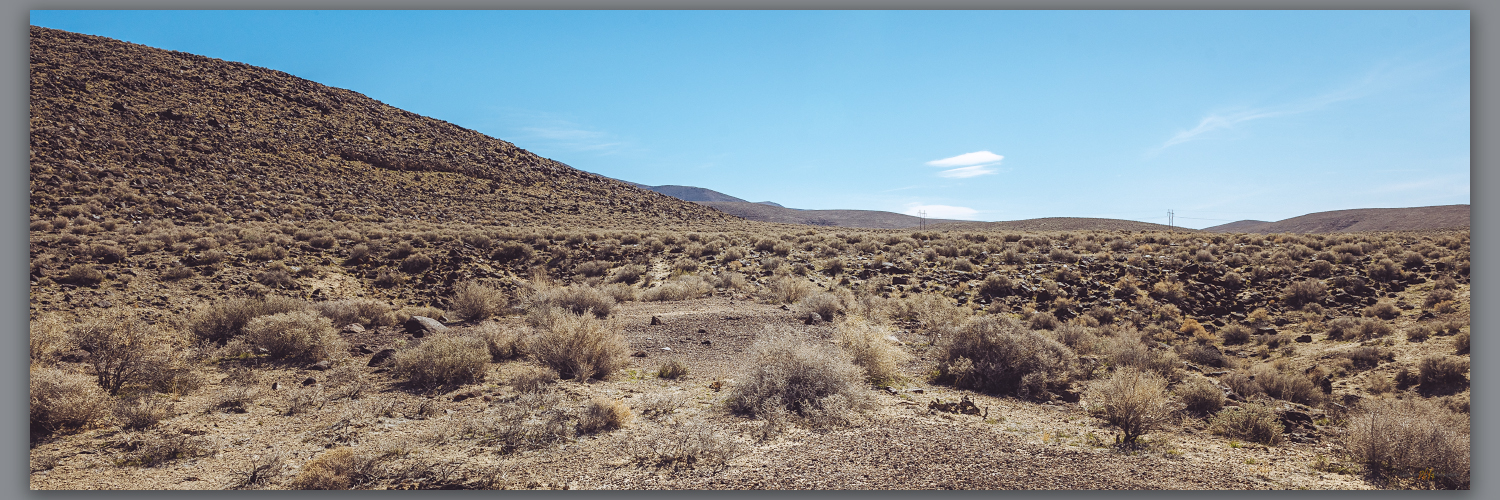
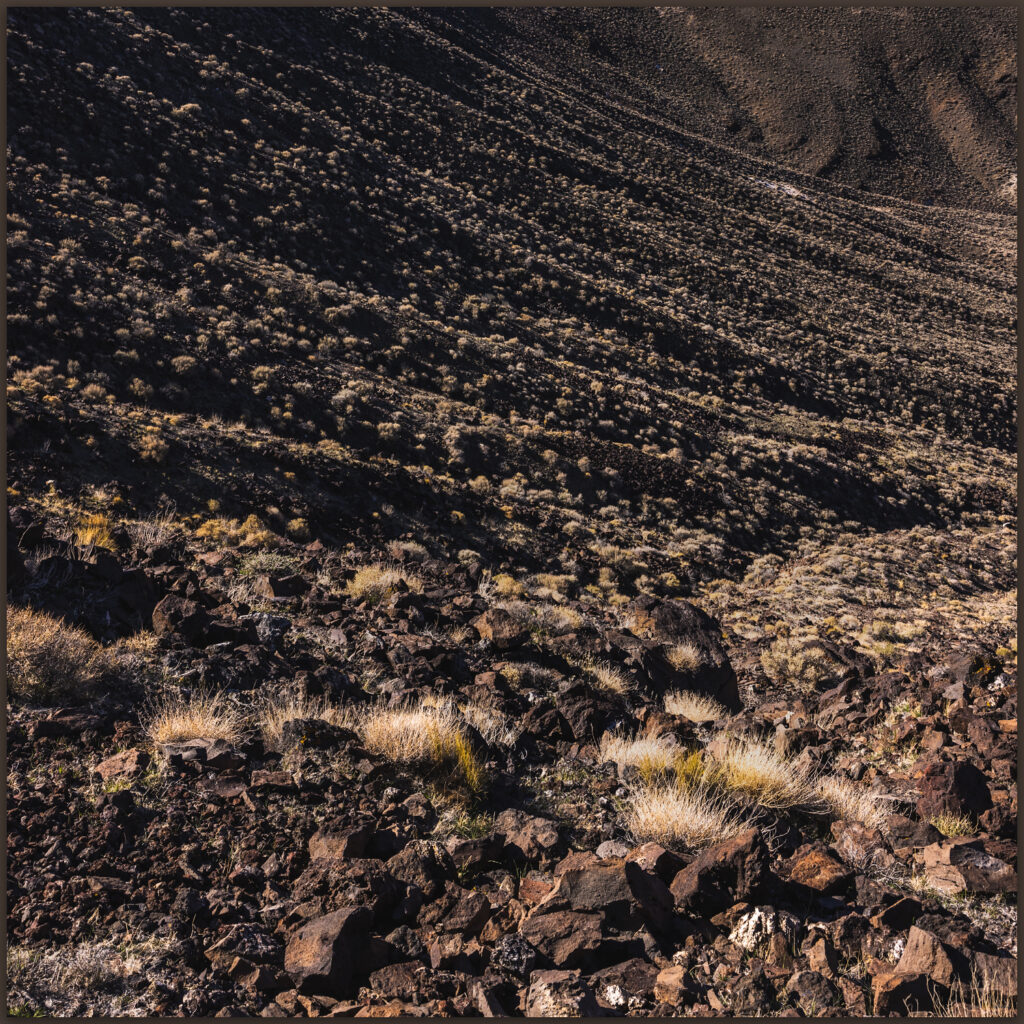
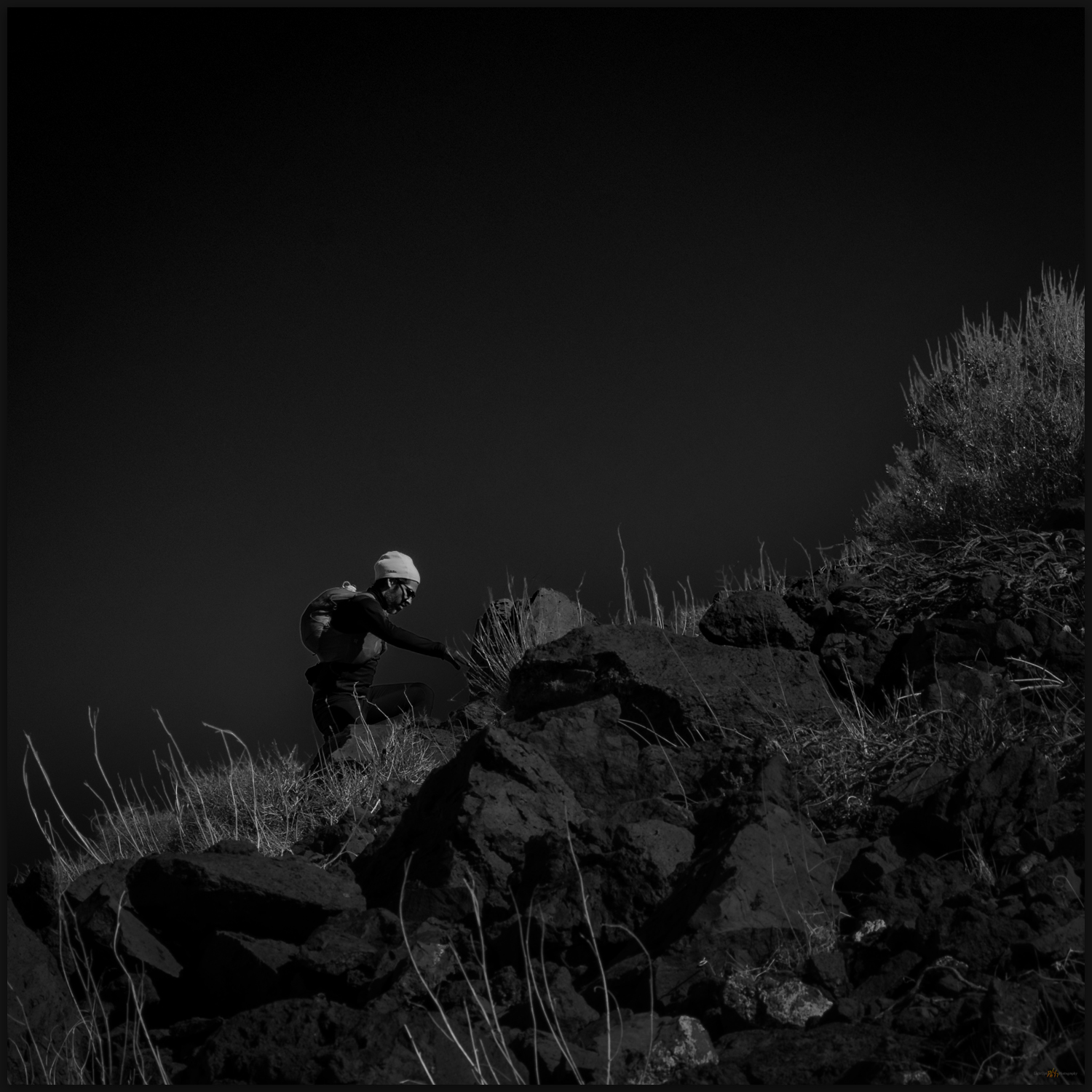
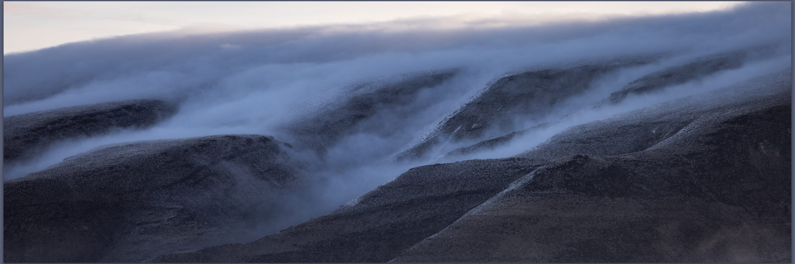
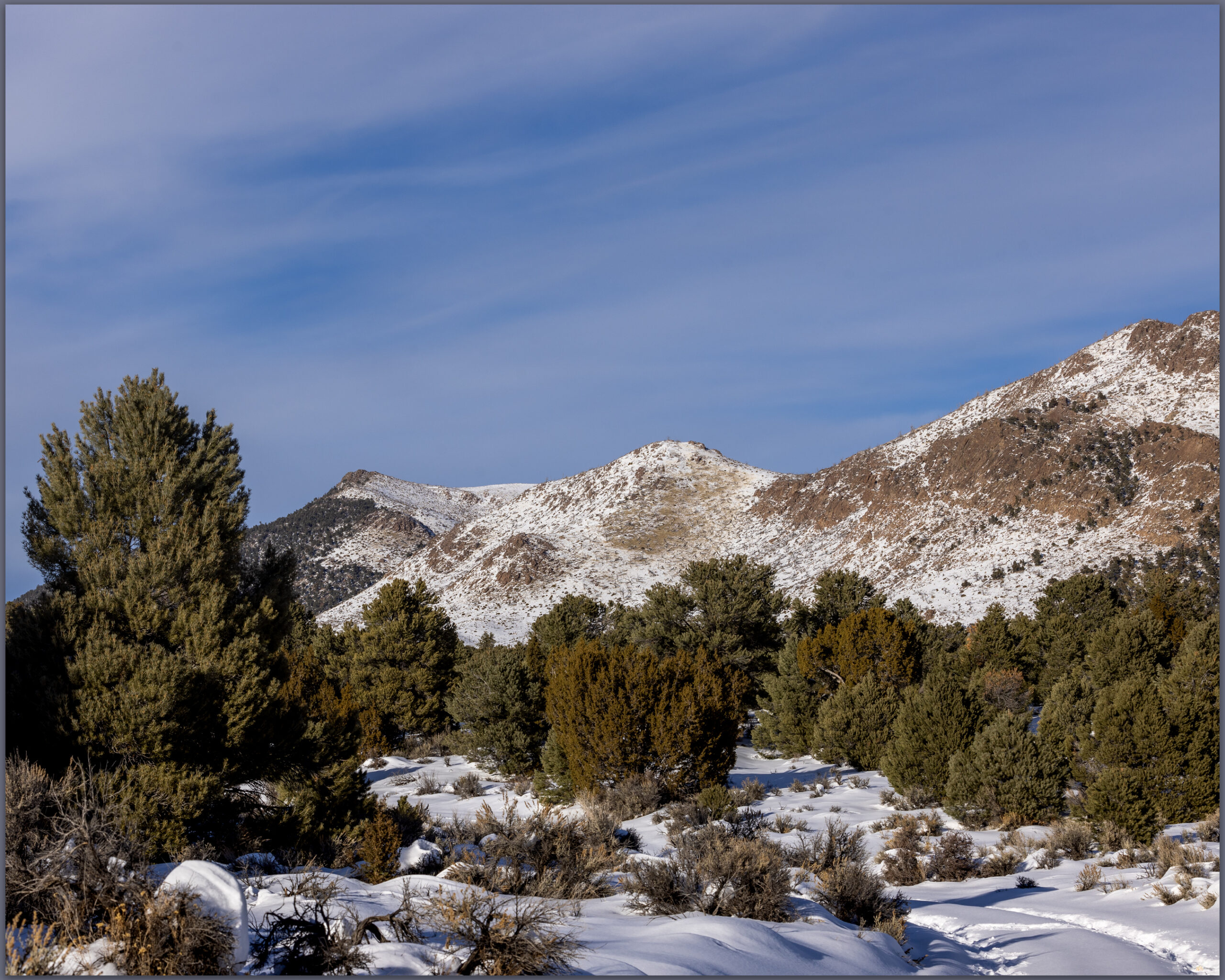
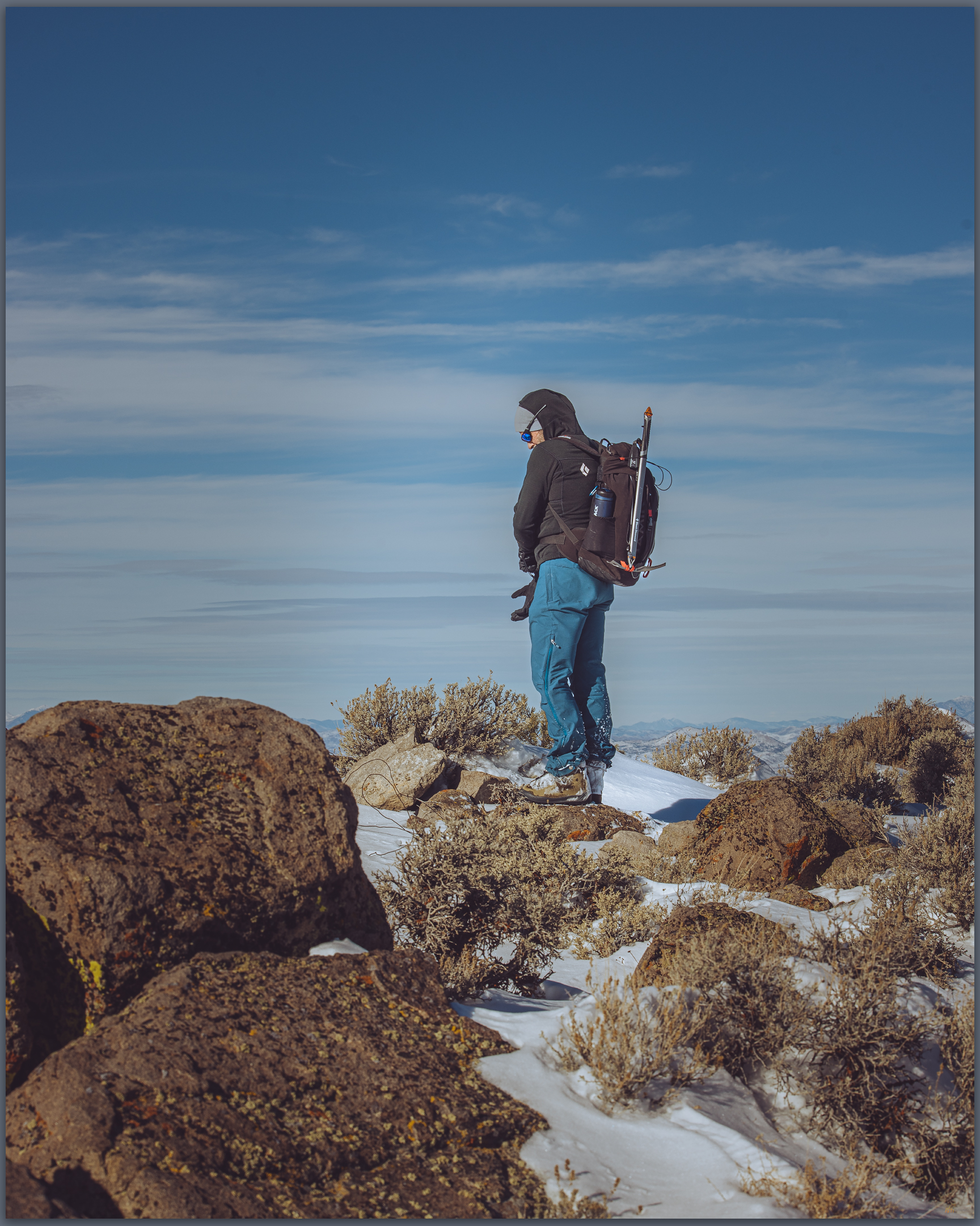
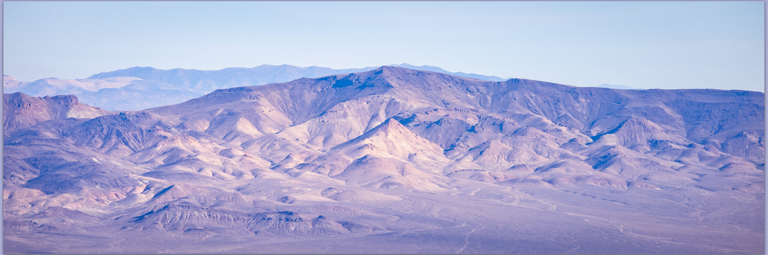
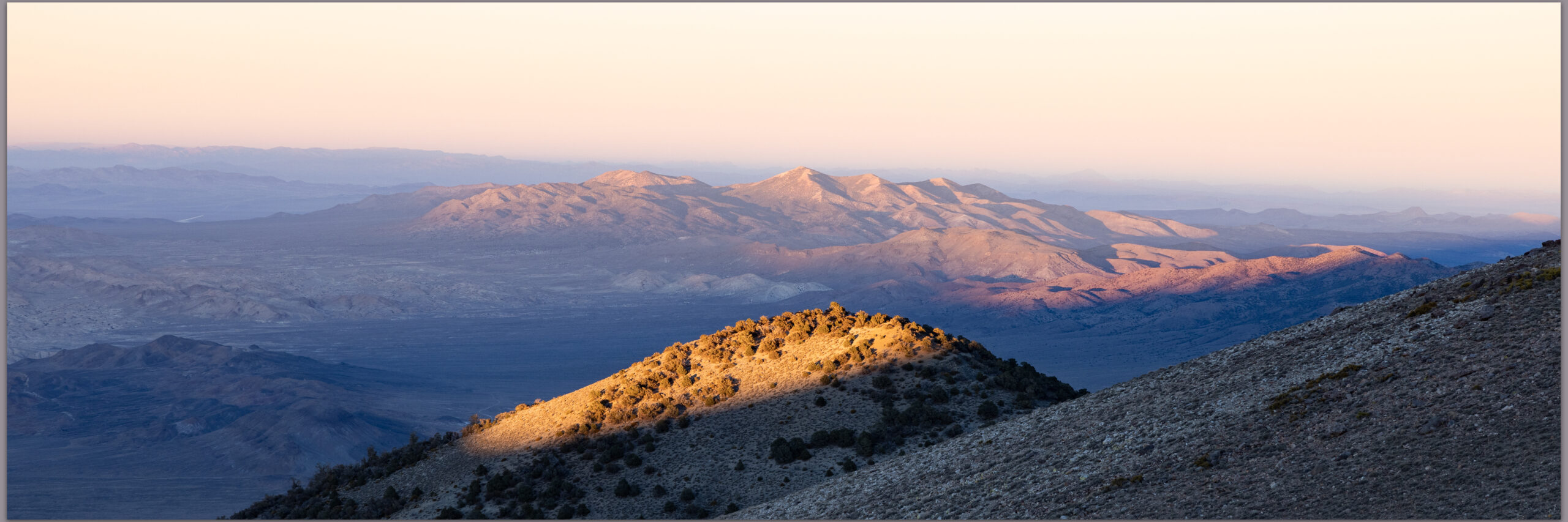
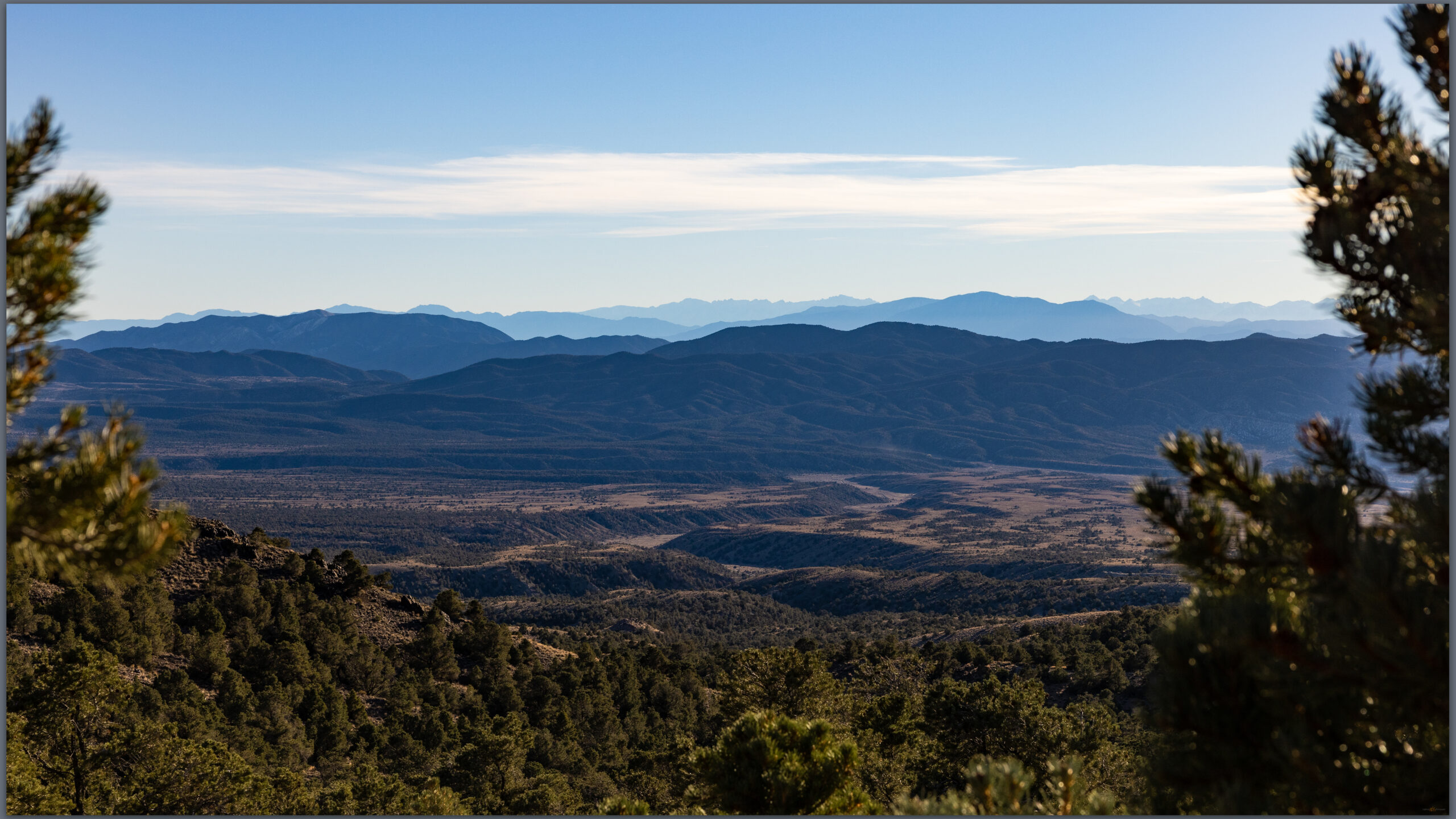
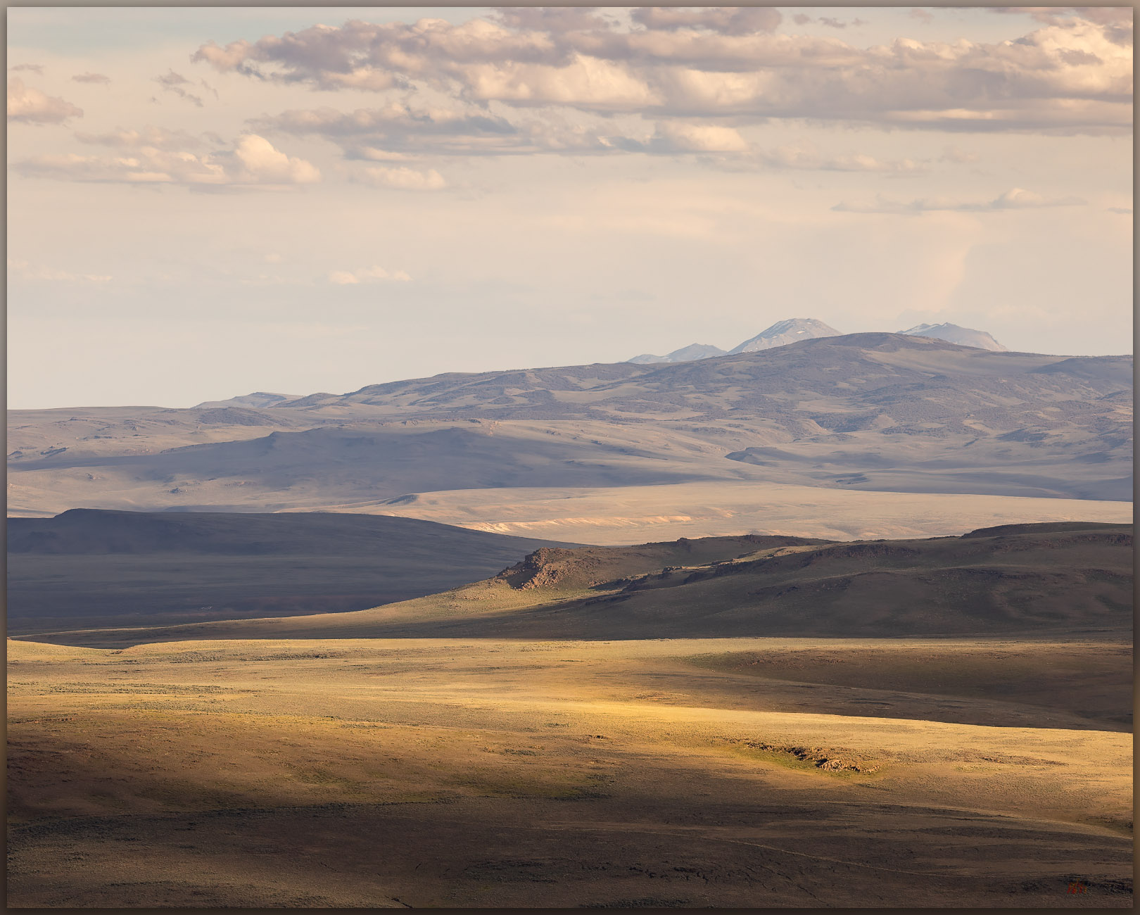
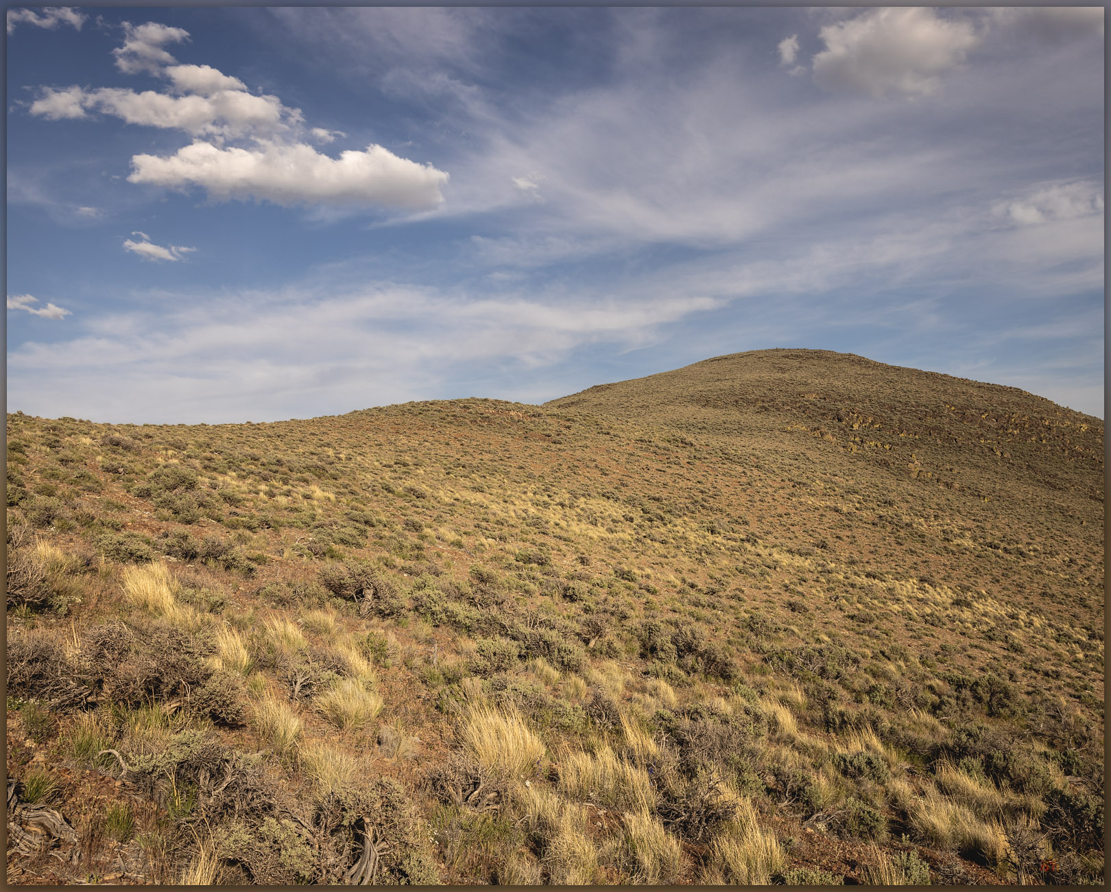
There is no trail and I simply make my way up a gently sloping western ridge. The light is nice, with false storm clouds building into the evening. There doesn’t seem much to photograph but the light and shadows are special tonight. The distances glow as ridge lines and outcrops stand out momentarily and are as quickly gone in shadow and haze. It is a special night even if the climb is little more than a walk among sage, perennial flowers, and rhyolitic boulders.
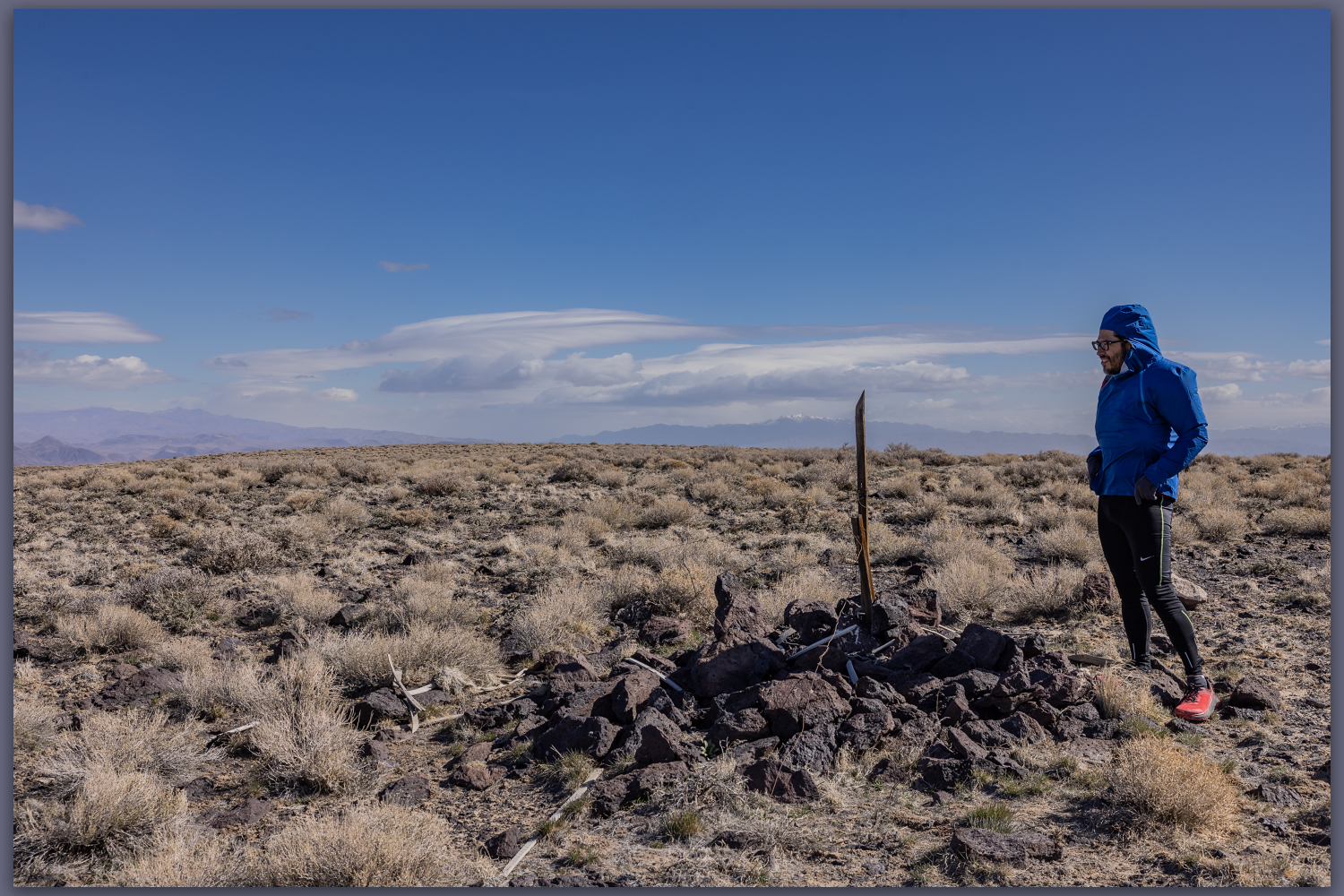
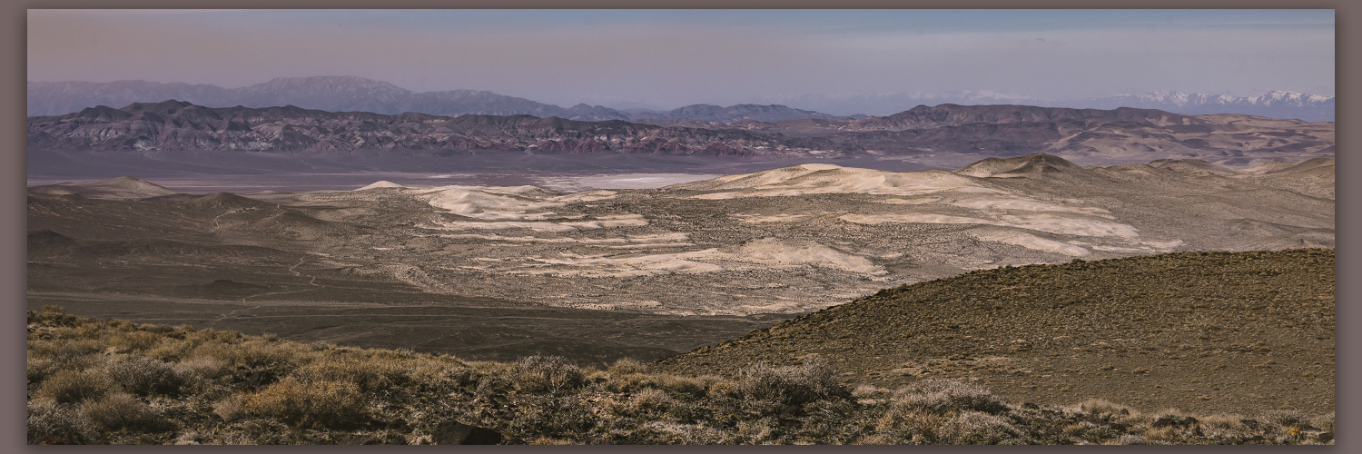
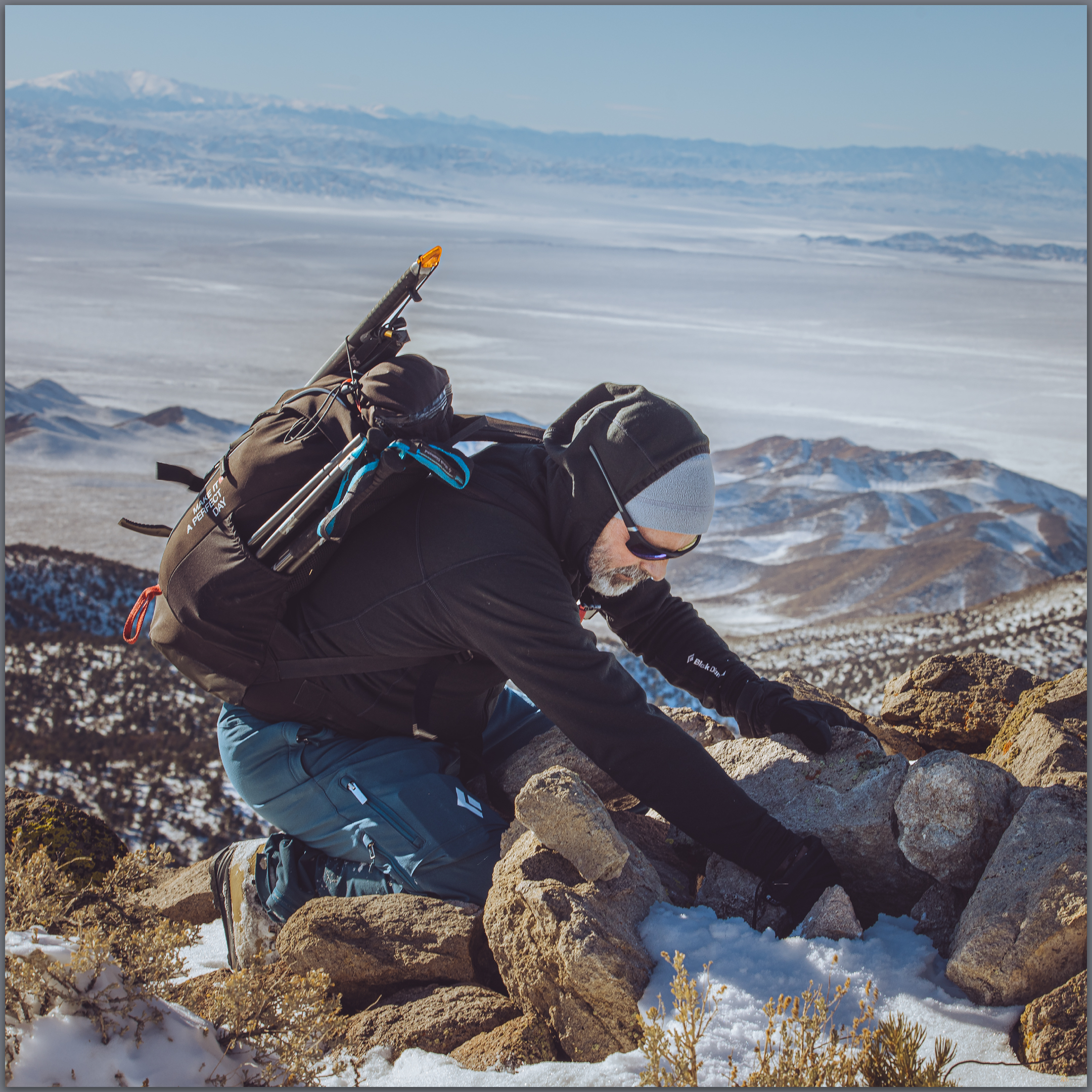
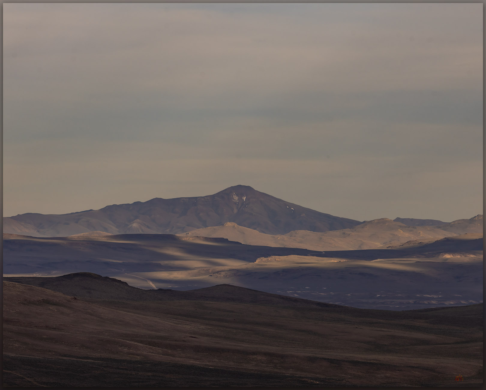
There are only five other signatures in the register. That’s five signatures since 1999 when the register was placed – I sign on the second page. This is not a peak that would draw your attention from anywhere, one visits when collecting highpoints or hunting birds maybe. Still, the view of the caldera is great and I can see many of the ranges we have visited in the past. The light fades just as the sun cuts through the low western sky and I drop to the truck very satisfied, even though I didn’t hit my usual goals for elevation gain and distance on this minor peak. I did, however, very much enjoy the evening.
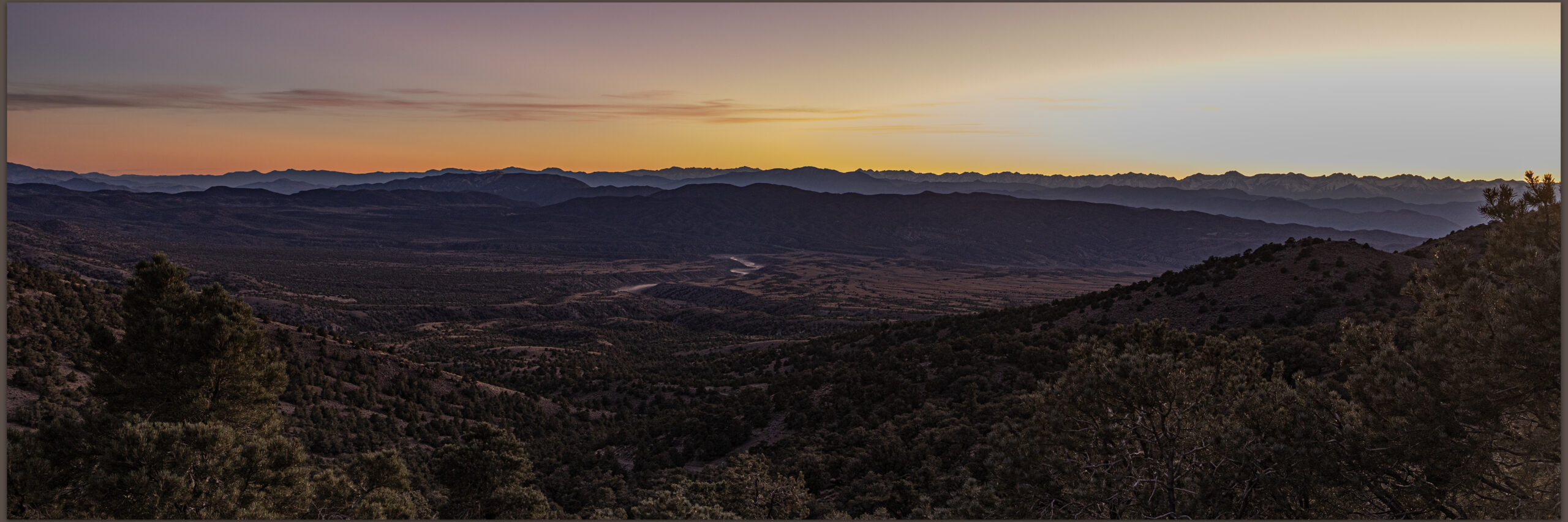
Driving to camp I could only consider the good fortune I have to work and travel in the Great Basin, especially when evenings like this are revealed. I chased dust on the dirt of Highway 34, rolling along among wild horses and dispersed pronghorn. The vague Irish green of fading spring seems to glow in the early dark. Wind rushing past the open window. Evening like this, watching the light fade and dust settle, make the increasing anxiety of a tumultuous world – even if was volcanic and tectonic tumult that formed this landscape. At least I can smile for the long moments of the drive to camp, and all is good for the evening.
Keep going.