• Skip to primary navigation
  • Skip to main content

Trail Option

A personal geography of landscape and place, art and geo-science.

  • Home
  • TrailOption Blog
  • About
  • Contact TrailOption
  • Subscribe!
  • Lost Journals
  • Show Search
Hide Search

great basin

Nevada High Points #127 — Painted Point Range

D. Craig Young · December 28, 2024 · 1 Comment

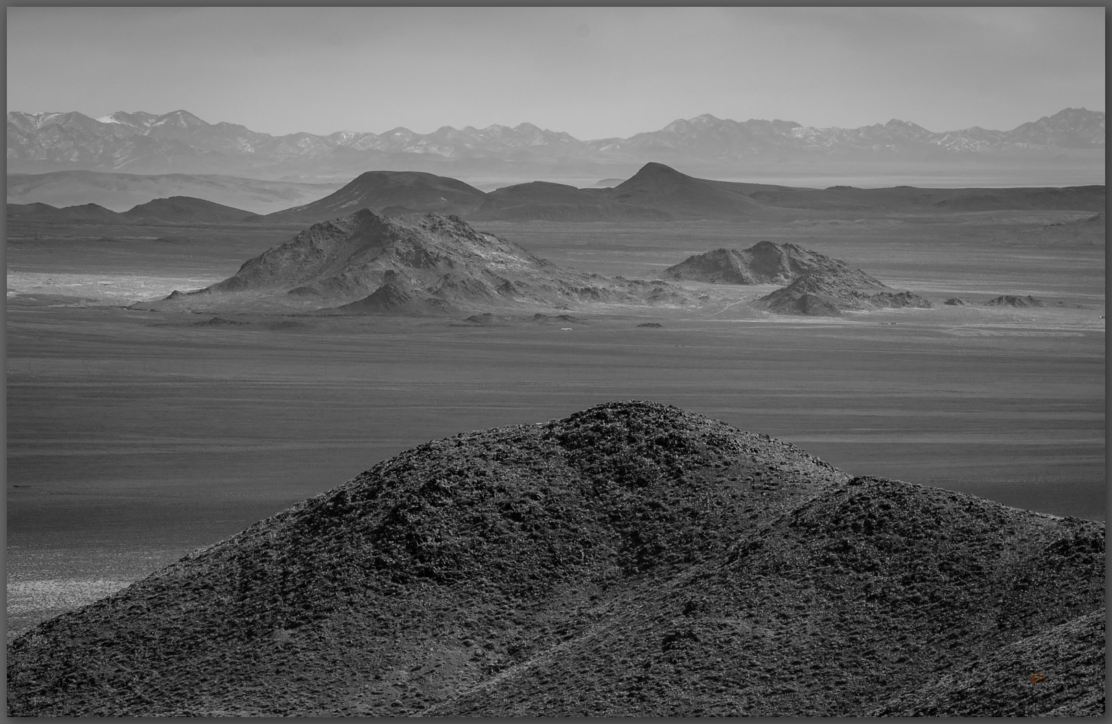
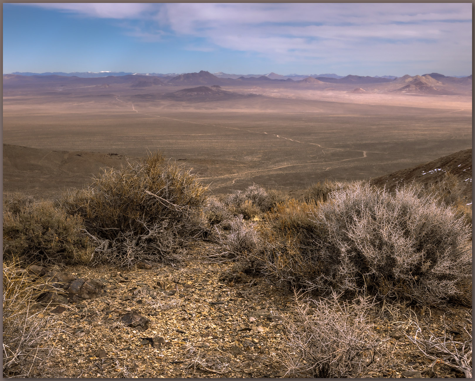
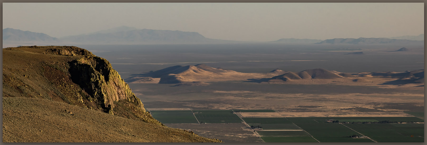
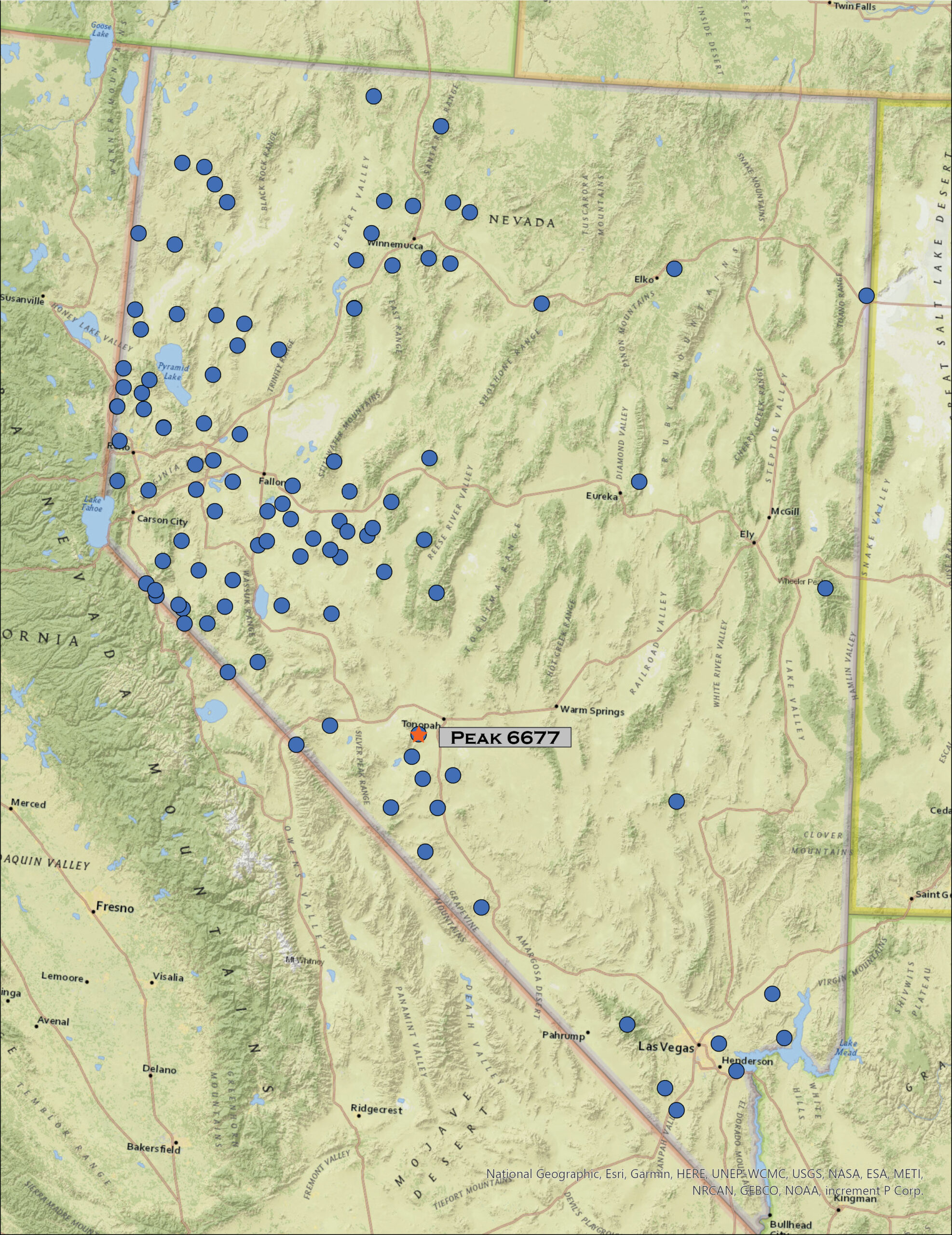
Horst and graben. Beattys Butte beyond the Guano Rim, view into Oregon from Yellow Peak, Great Basin Desert, NV, USA

Yellow Peak

7171 ft (2186 m) – 1194 ft gain

2024.11.10


I stood here over 30 years ago, in the heat of a Nevada summer afternoon, visiting Lynn Nardella, a longtime archaeologist and sometime fire lookout. He was on fire-duty, while I was leading a university team doing archaeological survey on the Massacre Rim. Lynn would join us in a few days when we moved to a small excavation in High Rock Canyon, but on that day, he was watching the building monsoon clouds for lightning strikes. I was now standing, in scudding clouds and a piercing wind, at the same small building perched on the summit of the Painted Point Range, three decades later. This time, however, I had spent the morning walking here.

This week’s excursion focused on a geoarchaeological recce with some colleagues from the University of Nevada. Staying at the TD Ranch near Vya, Nevada, we had gouged around Macy Flat laying the foundation for a thesis project focusing on landforms, habitats, and archaeological sites of the Late Pleistocene and Early Holocene. It looks very promising. So, being in the area, I took off early on our home-bound travel day, for a walk to Yellow Peak – we had driven along its base several times over the past couple days.

Grey snag. A relic of the former Juniper woodland on the middle slopes of Yellow Peak, Great Basin Desert, NV, USA (Point #1)

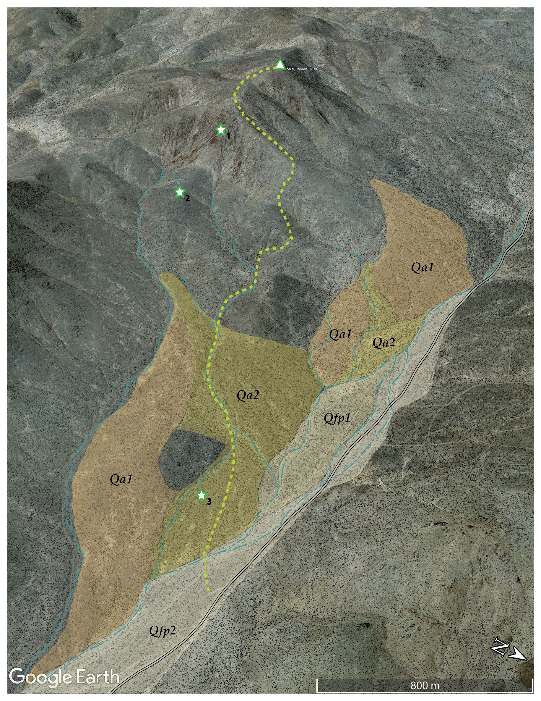
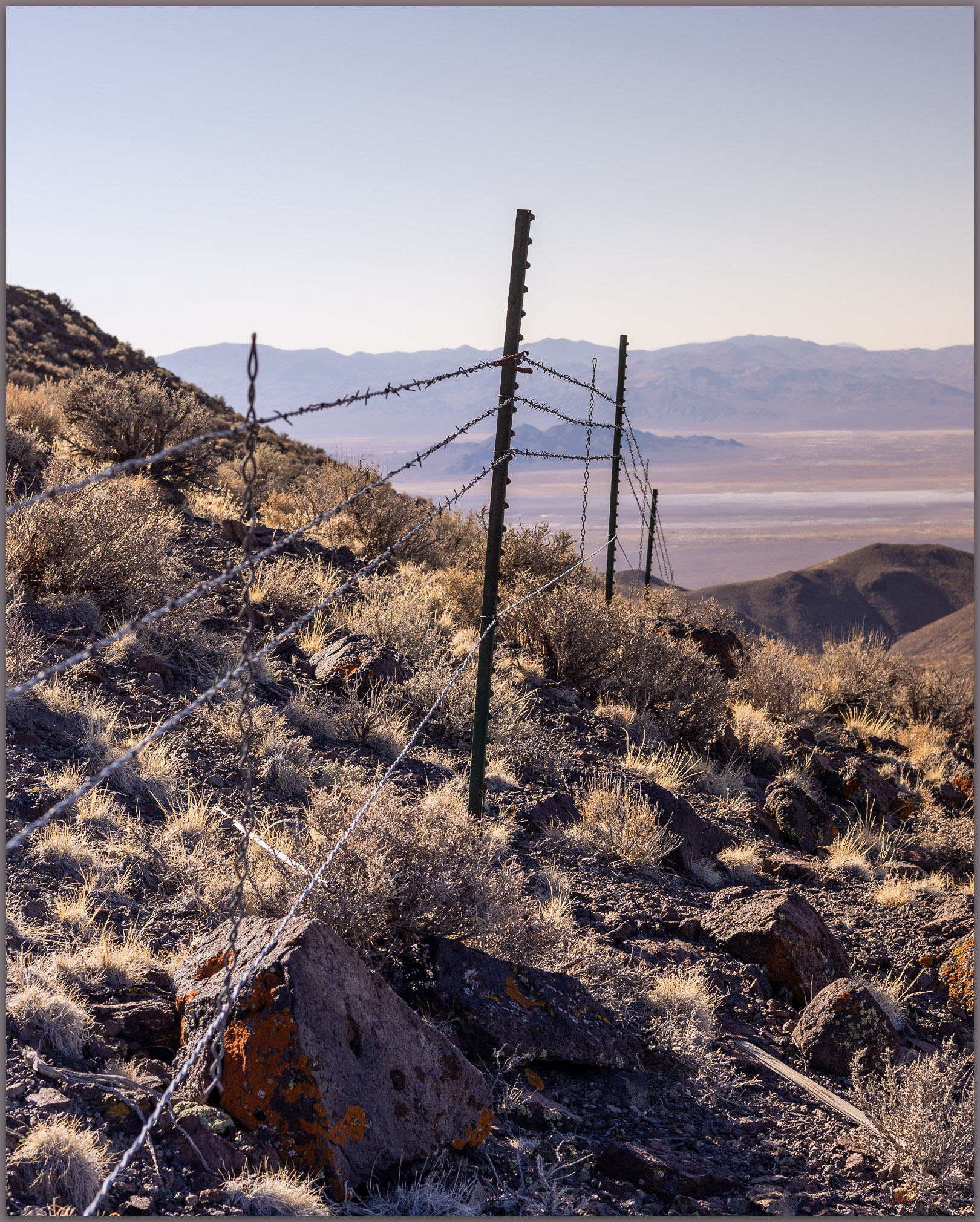
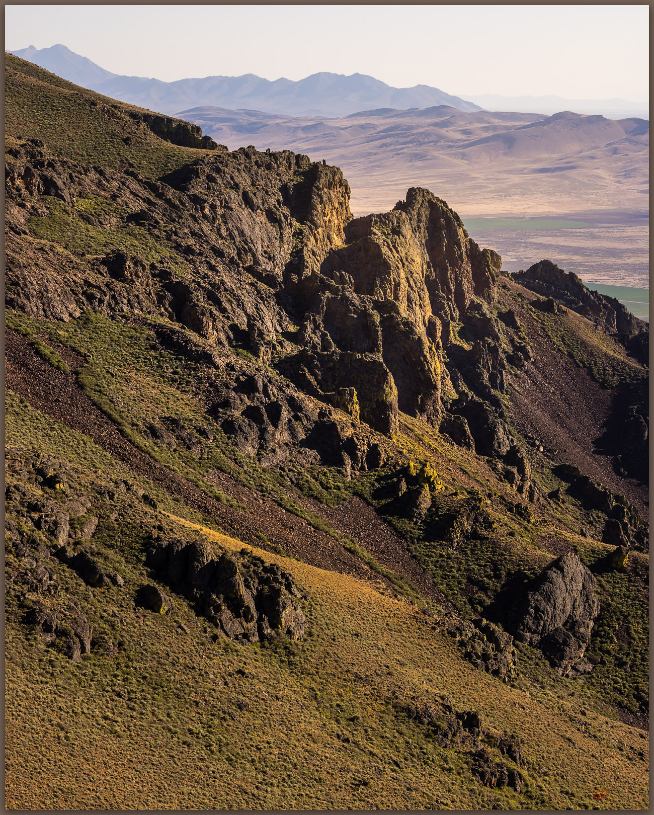
Although it stands prominently at the northern apex of Massacre Rim, it is a relatively easy walk even if one avoids the road as I did. It is the third highest point within the Sheldon National Wildlife Refuge. I began along the access road where it switchbacks above Long Valley, near the refuge’s western boundary. After seemingly endless clear-sky walks in central Nevada, it was good to begin under low-hanging clouds and dark, imposing skies. I traced a route along some outcrops of volcanic tuffs with scraggly juniper trees. Although the refuge has done some woodland thinning in hopes of fire management, it is not as devastating as similar efforts I have observed elsewhere, and many snags seem to be left from the days of cutting limbs for fence posts. Snags can make interesting photographic subjects, but the common amputated limbs are unmistakable. An abandoned line of posts stands nearby, its barbed strands long removed; the posts standing tauntingly close to the trees, now dead, where they grew.

The ground is wet from recent snowmelt. Small patches of snow extend as white shadows from the base of trees and hide below stands of sagebrush and deeper grass. Spotting a coyote unaware of my presence, I duck beneath a juniper that will act as a perfect photo blind. In my quick excitement, I forget about the snow and my crunching boots alert the coyote to my presence, even though it’s quite distant. I am sad that I spooked it, but its run is lovely, and it soon disappears into the camouflage of the sagebrush background.

Not to wait. A Coyote takes the long way avoiding my wanderings on Yellow Peak, Great Basin Desert, NV, USA (Point #2)
Yellow Peak. The fire lookout awaits on the summit of Yellow Peak, Great Basin Desert, NV, USA (Point #3)

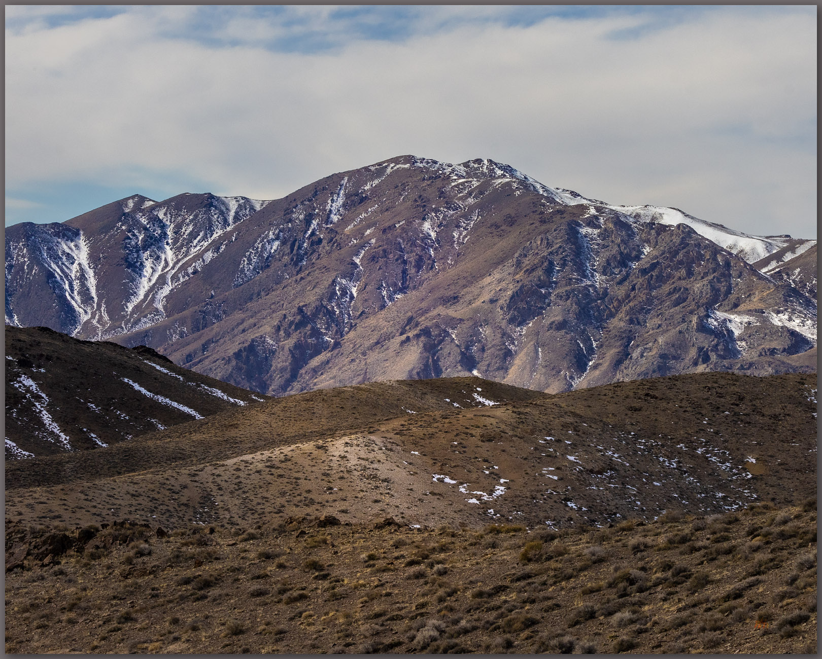
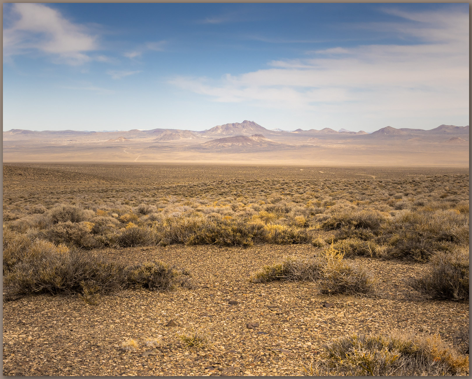
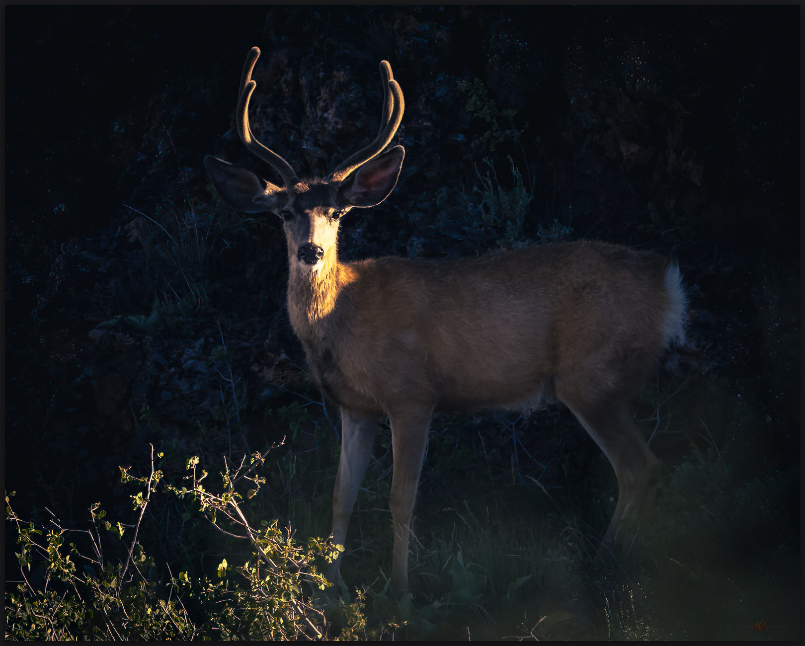
The cabin is an easy marker at the top of the hill. I approach a low rimrock below the summit and a small herd of deer, a buck and two does, peeks from a thicket of chokecherry and sagebrush nearby. The sun punches through to highlight the local slopes, leaving the sky dramatically dark in the distance, and I am buffeted by a steady wind. Cooling after the hike, I pull extra layers from my pack as I explore the platform of the lookout. I cannot find a summit register; maybe it’s in the building. Bracing against the wind or hiding behind the lookout, the view is the epitome of the basin and range province. Guano Rim leads out to Beattys Butte and the Massacre Rim runs to Coleman Rim and on to Hart Mountain. Some of the best of the Nevada-Oregon outback is visible from Yellow Peak. I understand why Lynn enjoyed his time up here.

The Lookout. The stout lookout, sealed for winter, on Yellow Peak, Great Basin Desert, NV, USA

I drop into a beautiful little drainage that curves around the ridge of my approach. I spend some time among aspens and juniper. The wildlife is quiet, only a few birds among the trees and a pair of distant ravens squawking at a red-tailed hawk. It is a nice walk out, surprising for its stands of Wild Rye along the narrow, inset floodplain. A good archaeologist once told me these stands mark locations where people paused to process grass seeds, allowing a few escaped seeds to colonize the landscape. It is, in fact, somewhat common to find grinding artifacts near these stands. No artifacts on my little transect through the floodplain, but I would not have been surprised.

Riparian rye. Great Basin Wild Rye in a small inset drainage on the western slopes of Yellow Peak, Great Basin Desert, NV, USA (Point #4)

It is raining when I get back to the truck. Barely a shower, but I really like the change from the dry days of the summer and much fall. Yellow Peak stands behind me, another enjoyable hill in the sea of mountains that is Nevada. But now it is time to drive home. I will head south among the calderas of Cottonwood Creek and into the Black Rock Desert, a nice commute any time of year.

Keep going.
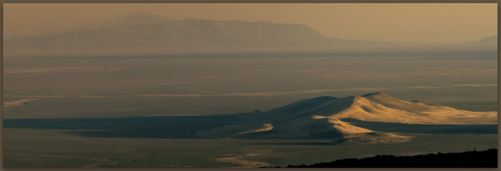
Quick look. A buck Mule Deer stops for quick, curious look below Yellow Peak, Great Basin Desert, NV, USA

Please respect the natural and cultural resources of our public lands.

#naturefirst #keepgoing

Nevada High Points #126 – Adobe Range

D. Craig Young · December 19, 2024 · Leave a Comment

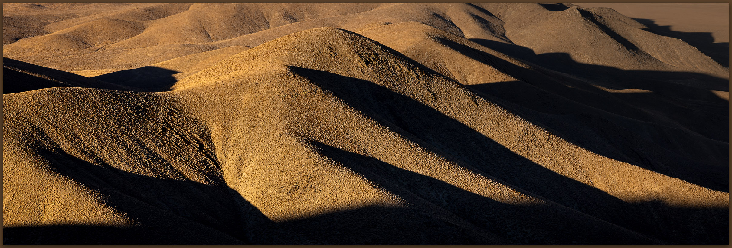
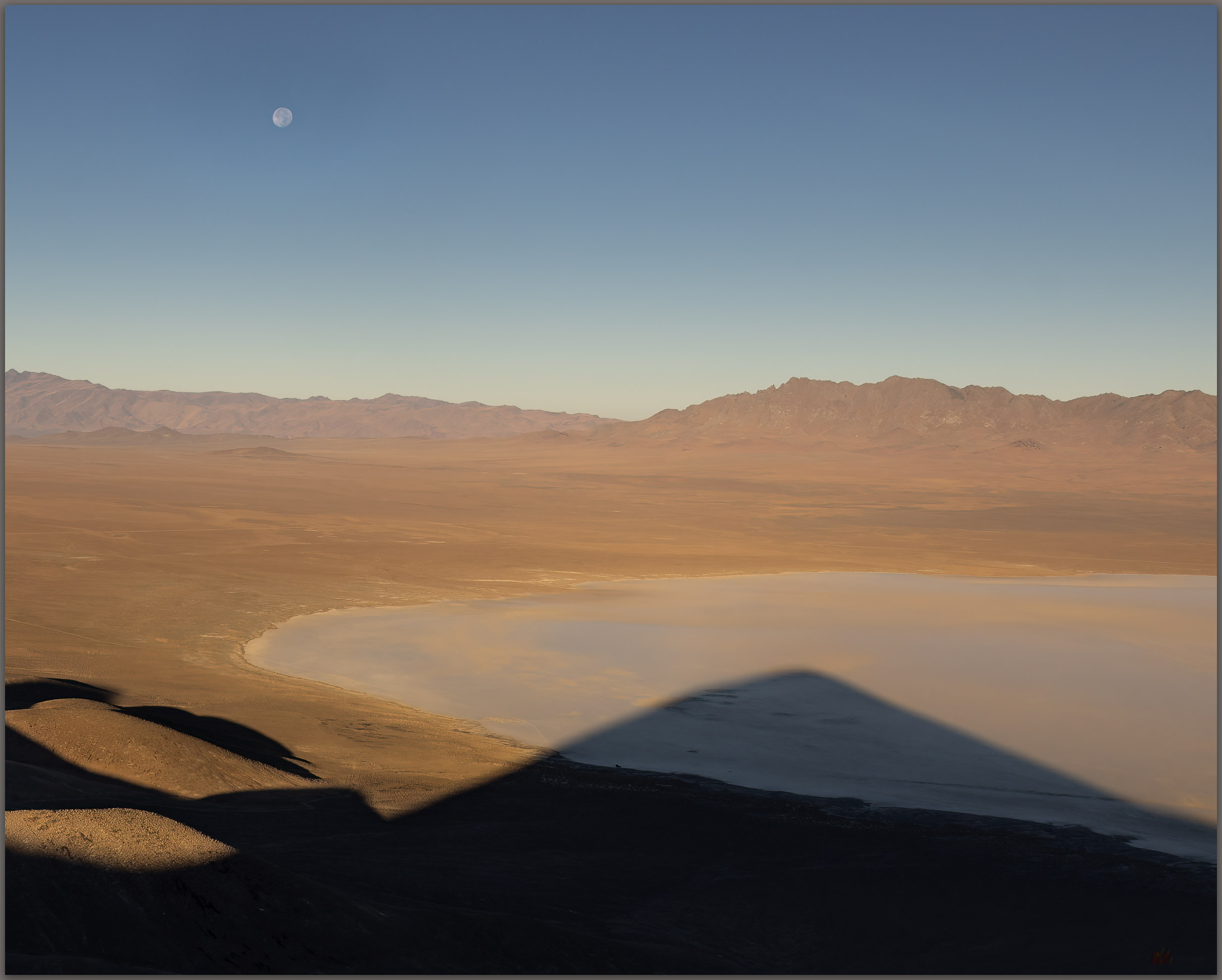
Shadows of the Elko Hills. Late light brings out the topography of the Elko Hills and Ruby Mountains, low on pediment of the Adobe Range, Great Basin Desert, NV, USA

Peak 8135

8135 ft (2480 m) – 1750 ft gain

2024.10.22


This is a long outing, I am headed for fieldwork on the Old River Bed in the West Desert of Utah, and then on to visit my parents in Grand Junction, Colorado. But first, I cannot pass up a chance to check out a Nevada high point along the way. The Adobe Range rises north of Elko, Nevada, in a generally south-to-north-trending jumble of volcanic hills flanked by broad sedimentary pediments. The hills are not prominent in any dramatic sense, but I have worked several projects along their flanks without taking the opportunity to visit the range’s higher elevations. It was time to change that with an afternoon walk.

Inset wash. Cobble bedload in a dry wash of the Adobe Range, Great Basin Desert, NV, USA
Route map to Peak 8135, summit of the Adobe Range, Nevada

Originally deciding on Coal Mine Canyon as an east-side entry, but after squeezing through private property, I found a good road leading to some corrals well south of my target. It looked nice, with some fall color around high springs in an otherwise late-season, sagebrush landscape. Even where good roads lead higher, I always pick a spot that is minimally 1.5 miles from the summit, where I hope I can at least get 1500 feet of vertical gain — these ‘rules’ can be difficult in the smaller hills that have found their way onto my ‘list’ of named mountain ranges. In any case, high point excursions are about the experience and not the statistics — other than keeping the list going.

I decided to document this walk, basically a random choice, as a quiet video, experimenting with other ways of sharing the Nevada high point experience. I am not a skilled videographer by any stretch, but I thought this relatively easy walk might be a good chance to experiment with video scenes bringing the viewer along. I have included my effort here. I really want to focus on photos and maps, working to bring landforms to life to the best of my limited abilities, so I will be curious to hear what you think.

A small grove of cottonwoods and willows has held its color, but it is fading quickly. The slopes of the Adobe Range are wide open, with only a few cliffs and outcrops below the summit ridge. While the walk is a pleasure, the distant scenes of the Ruby Mountains, East Humboldt Range, and the headwaters of the Humboldt River in the Tuscarora Mountains, come along as added value. The skies are low with gossamer overcast. Concerned about the coming journey east, I wish I had more time. I am glad to work these into my fieldwork schedules, but these mountains deserve more attention. Here, I am surprised by small patches of snow, left by a recent storm, telling signs of the change of seasons. The walk feels good, and provides a nice break from the drive, but it is now time to head east and find a camp. The days are noticeably short, and I am in shadow throughout the short descent. I have miles to drive before I can rest for the night.

Last color. Aspens hold their color around a small spring and riparian area, Adobe Range, Great Basin Desert, NV, USA
Ruby view. The Ruby Mountain far beyond the outcrops of the Adobe Range, Great Basin Desert, NV, USA

The Adobes rise from an old landscape of eroded hills, so I do not encounter any young landforms of any map scale. The drainages are in erosional guillies leading to broad inset floodplains of Humboldt River tributaries, such as Coal Mine Canyon. The tributary drainages can hold young terraces preserving records of archaeological landscapes and recent change, but my route today was high above these. I focus on the views overlooking the tributary valleys before continuing my journey eastward.

Keep going.
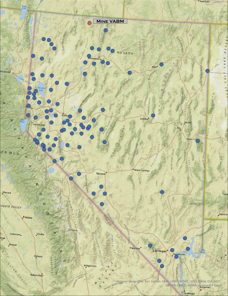
Topo variation. The uplands of the Adobe Range. Cobble bedload in a dry wash of the Adobe Range, Great Basin Desert, NV, USA

Please respect the natural and cultural resources of our public lands.

#naturefirst #keepgoing

Nevada High Points #125 – Dolly Varden Mountains

D. Craig Young · November 28, 2024 · Leave a Comment

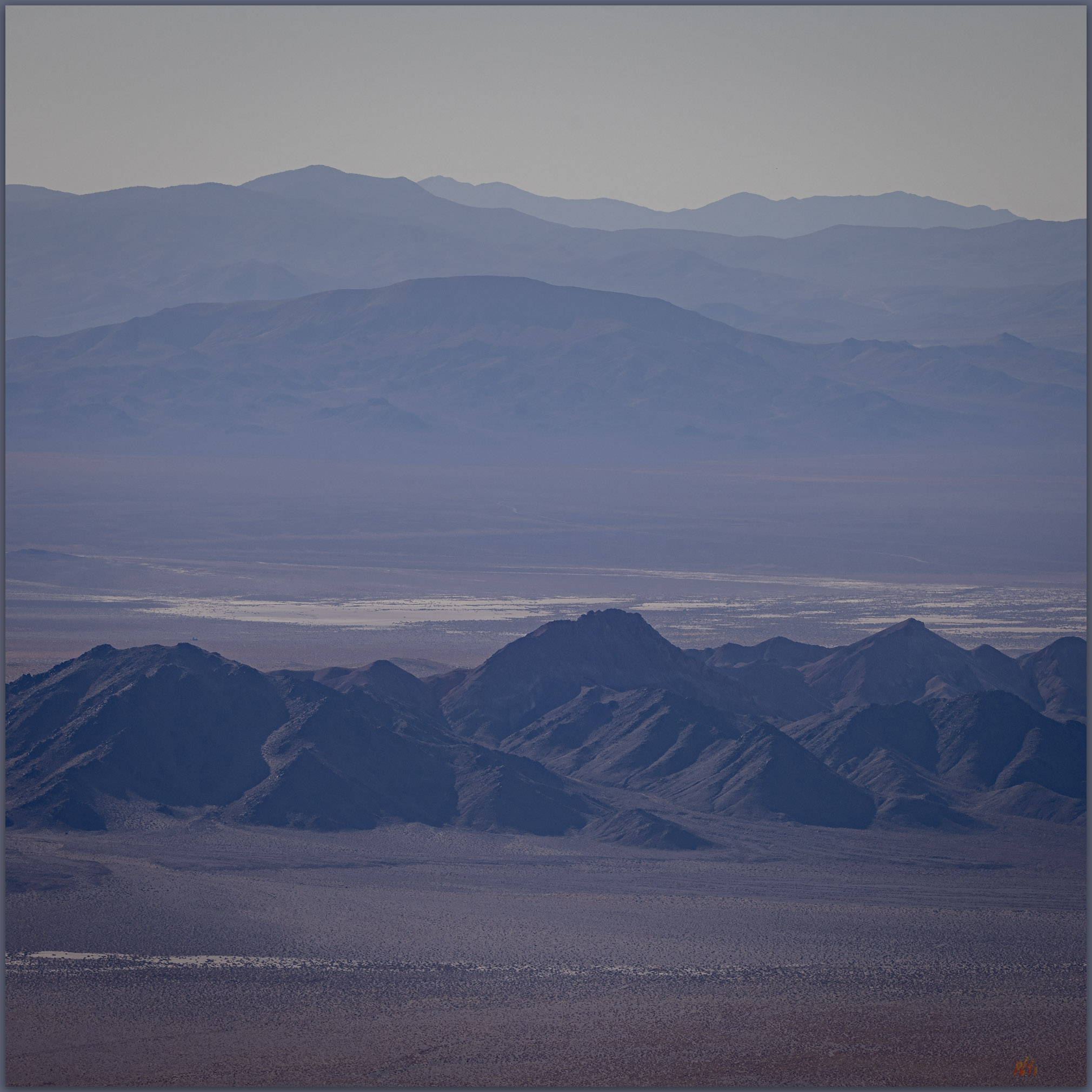
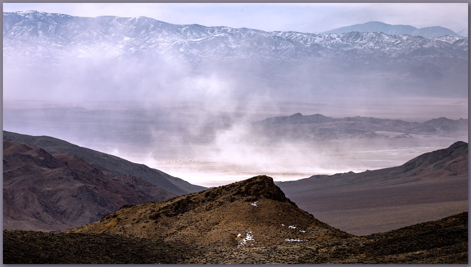
Steptoe dust. South view from the Dolly Varden high point, in the expanse of Steptoe Valley, Great Basin Desert, NV, USA (Map Point 2)

Peak 8578

8578 ft (2619 m) – 1857 ft gain

2024.10.03


Sometimes it is simply a nice walk. On my way to fieldwork on the Old River Bed in Utah’s West Desert, I take advantage of the long drive day with a stop in the Dolly Varden Mountains. The Dolly Vardens are the most prominent of a small group of hills between Steptoe Valley and Antelope Valley; I have made this a common stop on my way to Utah-based projects. A well-maintained road leads to an interesting canyon in deep volcanic rocks before opening to a large, semi-active mine with vast pits and large tailings piles.

My walk begins at a junction of several roads. I head south at first, thinking I will avoid overlooking the mine area, but this relict two-track – the kind of road I typically like – begins to turn away from the canyons and gullies that lead toward the summit. I head back to the mining road to begin again.

I followed the mine road for quite a while. The pinyon-juniper woodland above the mine is thick and filled with snags and downfalls. I could be more adventurous, but it is late afternoon; I have hours of drive-time ahead of me. Although it looks well-traveled, the road steepens, its deep ruts choked with desert loess – wind-driven silt driven from surrounding basins and trapped by the steep, vegetated slopes. I sink to my shins in the dusty tracks.

Into the pinyon. A summit road cuts into a dense pinyon-juniper woodland of the Dolly Varden Mountains, Great Basin Desert, NV, USA (Map Point 1)
Faded fans. Heat-haze and dust blur the distance, Steptoe Valley, Great Basin Desert, NV, USA (Map Point 2)

At a bend in the road, I am relieved to find a ridge that traverses through open woodland to the north slope below the summit. Radio towers punch the sky near my goal; that explains the over-used road this far beyond the mine. The woodland is nice, with small stands of Rocky Mountain white fir on north slopes (David Charlet 2020). Wandering away from the trees, I approach the summit. Soon, I hear voices and notice a work crew on lift extending into the mess of antennae clustered above me. It is crowded up here.

Summit business. Communication crews working on the facilities atop Dolly Varden Mountains, NV, USA

I find the register in a small outcrop adjacent to three buildings. The communication crew seems more surprised by me than I am at their presence. The general commotion encourages me to head down; no reason to linger. The skies are wide open and the views to Steptoe Valley are great, but I feel distracted today. The camera stays quiet, and I enjoy the simple walk down. Above all, it is good to take advantage of a long drive day and get a walk in. Each hill is special and interesting in its own way. On a different day it would be a different experience, the mine and communications facilities are a distraction, but every hill is worth the walk.

Keep going.
Please respect the natural and cultural resources of our public lands.

#naturefirst #keepgoing

Nevada High Points #124 – Garfield Hills

D. Craig Young · November 22, 2024 · 6 Comments

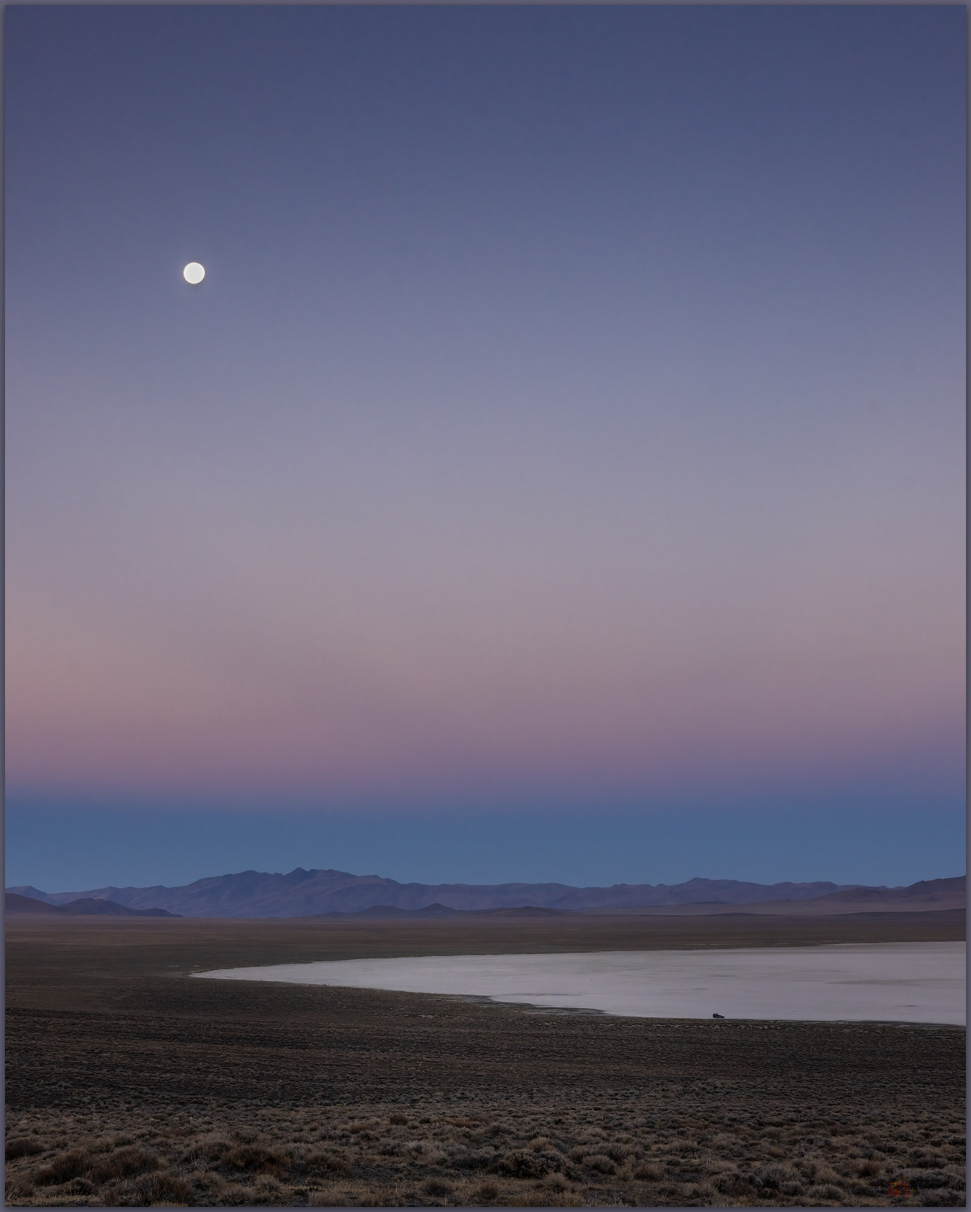
Playa dream. The playa basin of Garfield Flat south of the Garfield Hills, Great Basin Desert, NV, USA (Map point 1)

Peak 8085

8085 ft (2464 m) – 2160 ft gain

2024.09.14


I could not see the summit from camp even though it was yet another clear morning promising blue sky from horizon to horizon. Late summer in west-central Nevada, it would get warm later today, so I better get going.

Morning start. First steps above camp in the Garfield Hills, Great Basin Desert, NV, USA (Map point 2)

The Garfield Hills hide a generally dry drainage system leading to a basin floor playa that stands white among sagebrush-covered alluvial fans and a coalesced bajada. The playa is difficult to visit because of a vaguely mysterious testing facility, vehicles of some kind, I think. When viewed from Highway 95 – the common route between Reno and Las Vegas – the Garfield Hills are almost non-descript. Brown, rocky slopes climb steeply to rounded summits; these reach over 8,000 feet but dwarfed by Mount Grant at over 11,000 feet on the horizon to the west.

I had few expectations walking away from camp before the sun crested the nearby ridge. Still, that is the primary pleasure of the many small groups of hills or otherwise anonymous ranges throughout much of Nevada, the most mountainous state not called Alaska. I cut across rolling hillslopes overlooking the Bataan Mine, a distracting scar with a few headframes, ore shoots, and too many prospect and trenches to count – I would avoid all that if possible. A canyon soon opened in front of me, much of it altered as one big prospect, but I finally climbed above the mine scratchings to gain a sandy wash that practically meandered through a granitic parkland. The granite had saved the upper mountain, no one mines granite unless its easy to transport large blocks to build financial and government buildings. It is the edges of the granite, like the lower canyon I had just walked through, that interested the miners. As a deep bubble of magma – what would become the local granitic pluton – pushed through the native rock, their interaction would encourage mineral formation as water, heat, and pressure worked their magic. Miners look at the edges of the action; I would walk into the heart of the pluton now uplifted and exposed by mountain-building as the bulbous summits of the Garfield Hills.

Repose. A granite outcrop looms above dry washes of the Garfield Hills, Great Basin Desert, NV, USA (Map point #3)
Bouldery to Boundary. The White Mountains at Boundary Peak rise above the slope of the Garfield Hills, Great Basin Desert, NV, USA (Map point 4)

This I did not expect. The dry wash, climbing only gradually, is a parkland of boulders, junipers, and an occasional single-leaf pinyon. Sculptures of stacked boulders are decorated with small trees, and bunch grasses punctuate the shadows. Sitting to pack away my jacket, I notice an entire patch of boulders is walking away. The boulders are in no hurry. It soon becomes clear, with the aid of my binoculars, that I had walked unknowingly past a herd of Desert Bighorn, maybe twenty of them. They blend so well with the hillslope; it is only when they break the horizon that I can easily distinguish rams and ewes. I am not carrying a telephoto lens, thinking I would practice with one mid-range lens, so I sit and watch.

Far away. Desert Bighorn congregate in the distance of the Garfield Hills, Great Basin Desert, NV, USA (Map point 5)

The sandy wash leads nowhere. Most washes break predictably into smaller tributaries and rills while moving upslope and updrainage; desert washes collect water and sediment, getting choked with sand as underfit flows lack energy needed to convey coarser materials basinward. This drainage seemed to ‘sky out’ as I reached a pass and drainage divide that dropped steeply to the east, the opposite of gradual parkland I had just enjoyed. It was beheaded, cut-off from the tributaries and rills I expect typically. Or so I thought. I eventually looked south to see small drainages continuing up hillslopes where an apron of rills was ready to deliver additional grussy bedload weathered from the ever-present granite. Not atypical once I soaked in the scene.

South summit. Leading away from the lower hilltops of the Garfield Hills, Great Basin Desert, NV, USA (Map point 6)

The view into Soda Spring Valley, against the tilted blocks of Black Dyke Mountain, is exceptional; dark hills against bright alluvial aprons and playas, four thousand feet below. After the gradual wash, there are steep ridges reaching toward the high point. It is a healthy walk, pushing through juniper snags braced against the wind even though it is calm today.

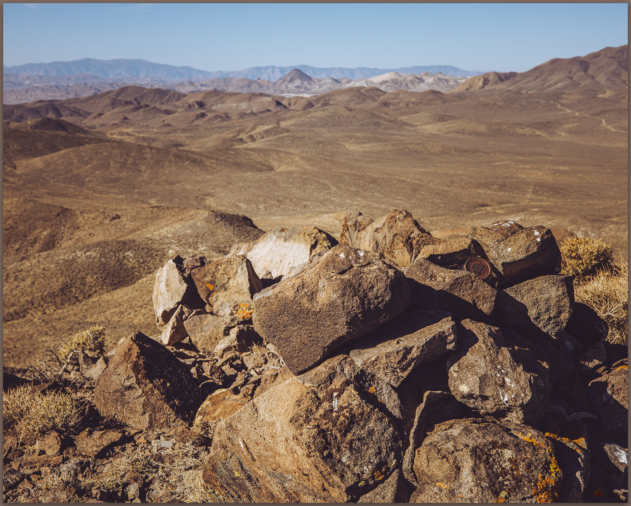
I find the summit register, its protective can – the usual red variety – filled with lethargic lady bugs. The insects colonize summits to avoid predation during their long winter hibernation, I am always mildly surprised to find them, but it is very common.

The Bighorn Sheep are not to be found as I descend the slopes where I first saw them. I searched the expansive hillslopes but see none. The slopes are well-tracked, so they are probably nearby, just well camouflaged. The mine looms before me, and I am soon on a well-used road back to my camp.

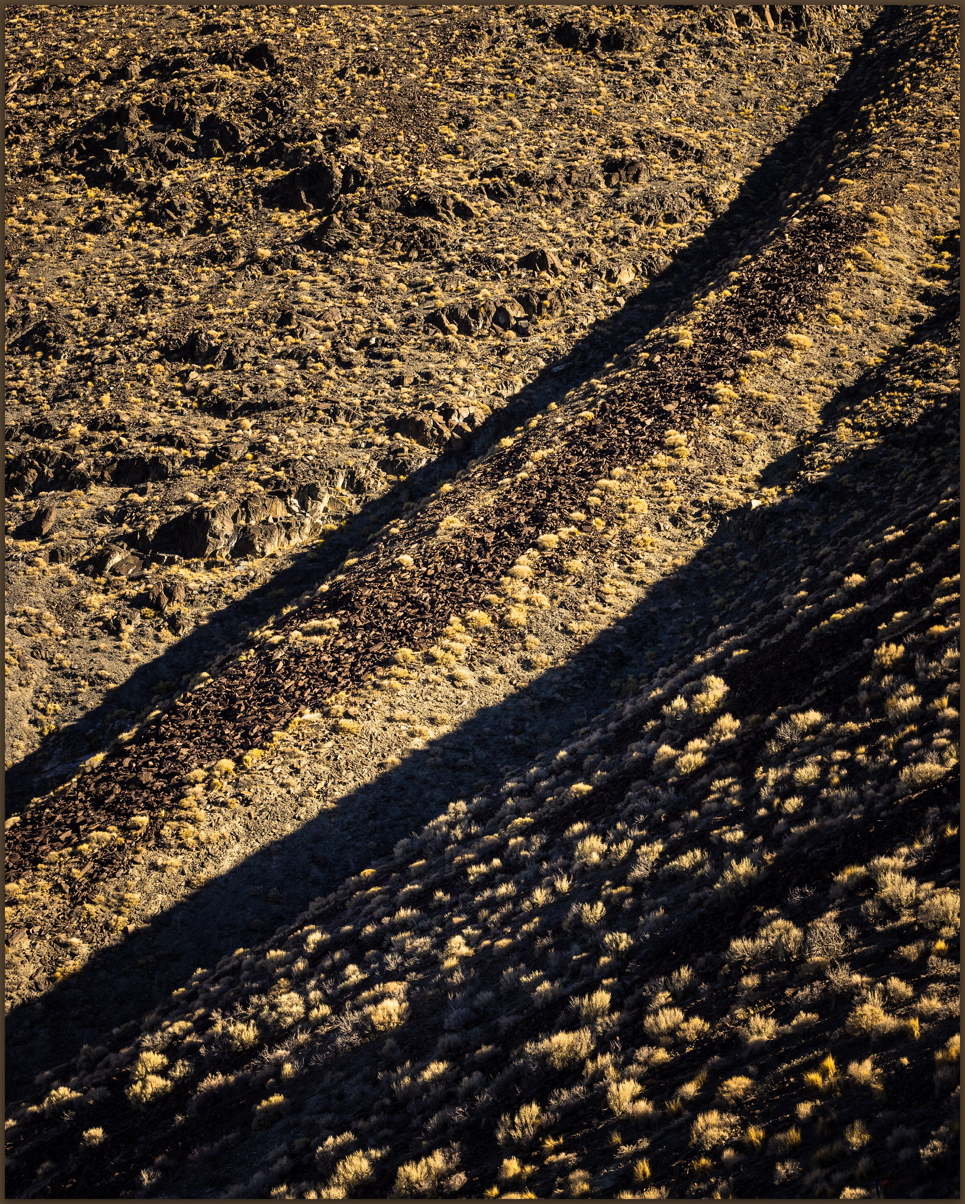
Grassy hold. Grasses colonize stratigraphic contacts in the Garfield Hills, Great Basin Desert, NV, USA

Once again, a small mountain range reveals its local wonder. My quest to climb all of Nevada’s named ranges is aspirational at best, but it gets me into the smaller spaces. Each is worth the effort of the small journey and relatively easy hikes. It may be that my lack of expectation is what keeps me motivated. The basic pleasure and excitement of simple discoveries – from granitic woodlands to red cans of sleepy lady bugs – are all it takes.

Keep going.
Please respect the natural and cultural resources of our public lands.

#naturefirst #keepgoing

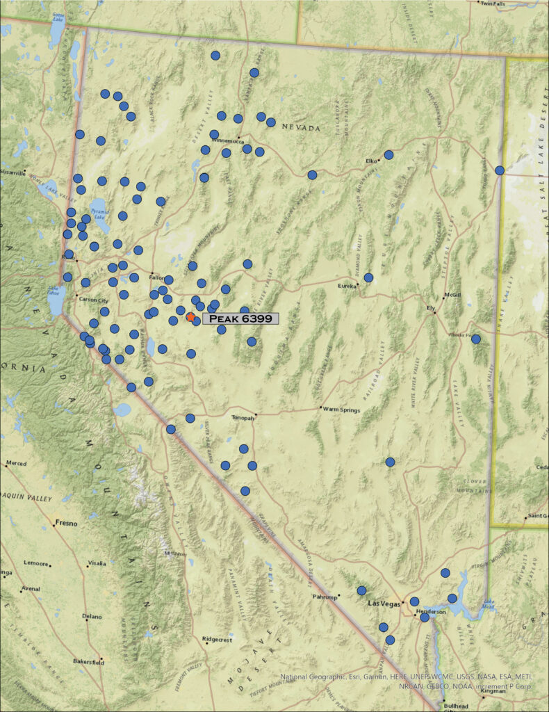
Nevada High Points #123 — Cucomungo Mountains

D. Craig Young · September 17, 2024 · Leave a Comment

Alum outcrops. With the summit shaded in pinyon, we sought the skies of the badlands marking the northern edge of Death Valley, in the Cucomungo Mountains, NV, USA (Map point #1).

Peak 7602

7602 ft (2317 m) — 600 ft gain

2024.08.10


It is easy to get caught up in the numbers. My list of Nevada high points, based on named ranges drawn from a wonderfully descriptive catalog created by Alvin McLane in Silent Cordilleras, consists of 324 mountains and hills spread across the most mountainous state not called Alaska. I have added a few to Alvin’s list of 314 because I thought they had some prominence that he did not consider – he had added some to the list of USGS topographic names, most of which were eventually accepted by USGS as named ranges. My ten additions are informal and already named one way or another; I thought simply that they stood apart enough that I should count them. It is all rather arbitrary and merely provides a goal for excursions in a wide range of landscapes across Nevada’s fascinatingly varied Basin and Range.

Edges. Volcanic tuffs and fills of the Alum Creek Badlands, Cucomungo Mountains, Great Basin Desert, NV, USA

My brother and I visited the Cucomungo Mountains recently. It was here that I stumbled upon a couple numerical oddities that made us wander a bit. One of the oddities is surprisingly common across Nevada ranges; the other is simply a long-standing error on my list.

Aerial image of Cucomungo Hills with route and photo points

The Cucomungo Mountains are hardly recognizable from the any direction. An old mining road in Palmetto Wash leads almost to the summit – or, I should say, summits. The road is like any other in the area, winding as a two-track of gravel and dust through a healthy, if dry, pinyon-juniper woodland. Climbing along a shallow grade, only a couple miles from the highway – Darren and I had been walking for about a mile – the road culminates suddenly at a precipice of wonderful depth. This surprising switchback is the northern rim of Death Valley, where Alum Creek drops in a series of badlands and flashy drainage toward Ubehebe Crater many miles and thousands of feet below. Coming from the north, it seemed we had barely changed elevation to find this wonderful view.

Northern Death Valley from the Cucomungo Mountains, Great Basin Desert, NV, USA (Map point #2).

We turned south along the rim to reach the high point at Peak 7602. We found the register, but soon puzzled at what seemed a slightly higher, rounded summit to the southwest, on the opposite side of the switchback viewpoint. Using the level in my camera, it was clear that the south and west ridge held the high point. It was barely higher, maybe a couple feet or so; it is difficult to tell accurately without actual survey gear. Checking my notes, I thought the western summit was a better match for Alvin’s description even if several of the local ridges fell within the same range of contours shown on the maps I could access. Then again, the western spot did not have a register; we decided to visit both.

Summit trees. Darren among the pinyon on the likely summit of the Cucomungo Mountains, Great Basin Desert, NV, USA

I have found a few low ranges in the state that have several ‘summits’ with very similar, if not equivalent, elevations. This probably has something to do with common geologic structures driving local uplift, or simply your basic conspiracy of cartographers. This is not the first time I have questioned whether I had arrived at the definitive high point; indeed, I have twice had to return to mountains to attain the ‘true’ summit. Today, we climbed both to cover our guesses.

Linkage. Rock art in the Cucomungo Mountains, Great Basin Desert, NV, USA
Stripes. The badlands of Alum Creek, northern Death Valley, Cucomungo Mountains, Great Basin Desert, NV, USA

More time in the hills is never a bad thing, and we spent the walk marveling at the astounding and surprising view into Death Valley. The switchback overlook would be a great location to watch storms from the eastern Sierra fall into the depths of the desert valley. I will return.

Pinyon and Badlands. Alum Creek into the northern reaches of Death Valley, CA, USA (Map point #2).

It was only as I sat to write this high point story that I came across the second numerical puzzle. As I opened my list – after 100s of other visits – I noticed Dun Glen Peak as high point #2. Dun Glen Peak is in the northern reaches of the East Range, but that range’s summit is at Granite VABM. I walked up Dun Glen almost 30 years ago, and my journal expresses my pleasure of summiting that peak even though, as I wrote at the time, it was not the high point of the range – I have yet to visit Granite. I have no idea why it came to be on my list – although in the 1990s I likely had a growing list of ‘climbs’ that I eventually transformed into the larger goal.

Aerial defense. A Prairie Falcon (left) pushes a Peregrine Falcon (right) away from the outcrops, Cucomungo Mountains, Great Basin Desert, NV, USA

Arbitrary as this all is, it means I have lost one high point on my tally. Oh well, the puzzles of Cucomungo are resolved – we wandered the hills and renumbered the list, even if I now have two #123s in the headlines of TrailOption. It really does not matter – the 324 is aspirational, and I will keep going.  
Please respect the natural and cultural resources of our public lands.

#naturefirst #keepgoing

  • « Go to Previous Page
  • Page 1
  • Page 2
  • Page 3
  • Page 4
  • Page 5
  • Interim pages omitted …
  • Page 11
  • Go to Next Page »

Trail Option

Copyright © 2026 · Monochrome Pro on Genesis Framework · WordPress · Log in

  • Contact TrailOption
  • Substack
  • Waypoints Bibliography
  • Young Archives