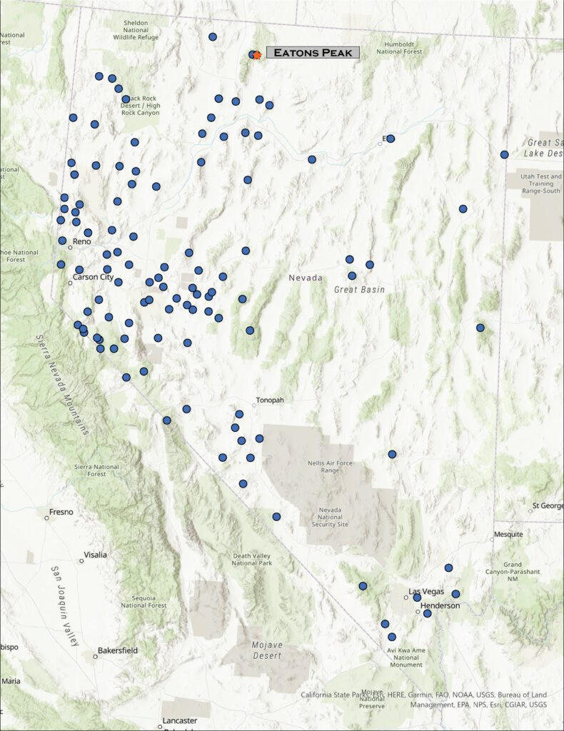
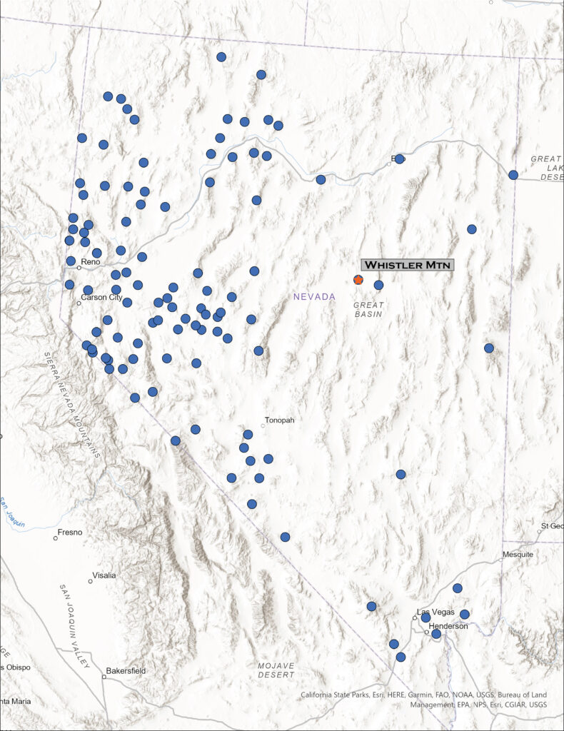
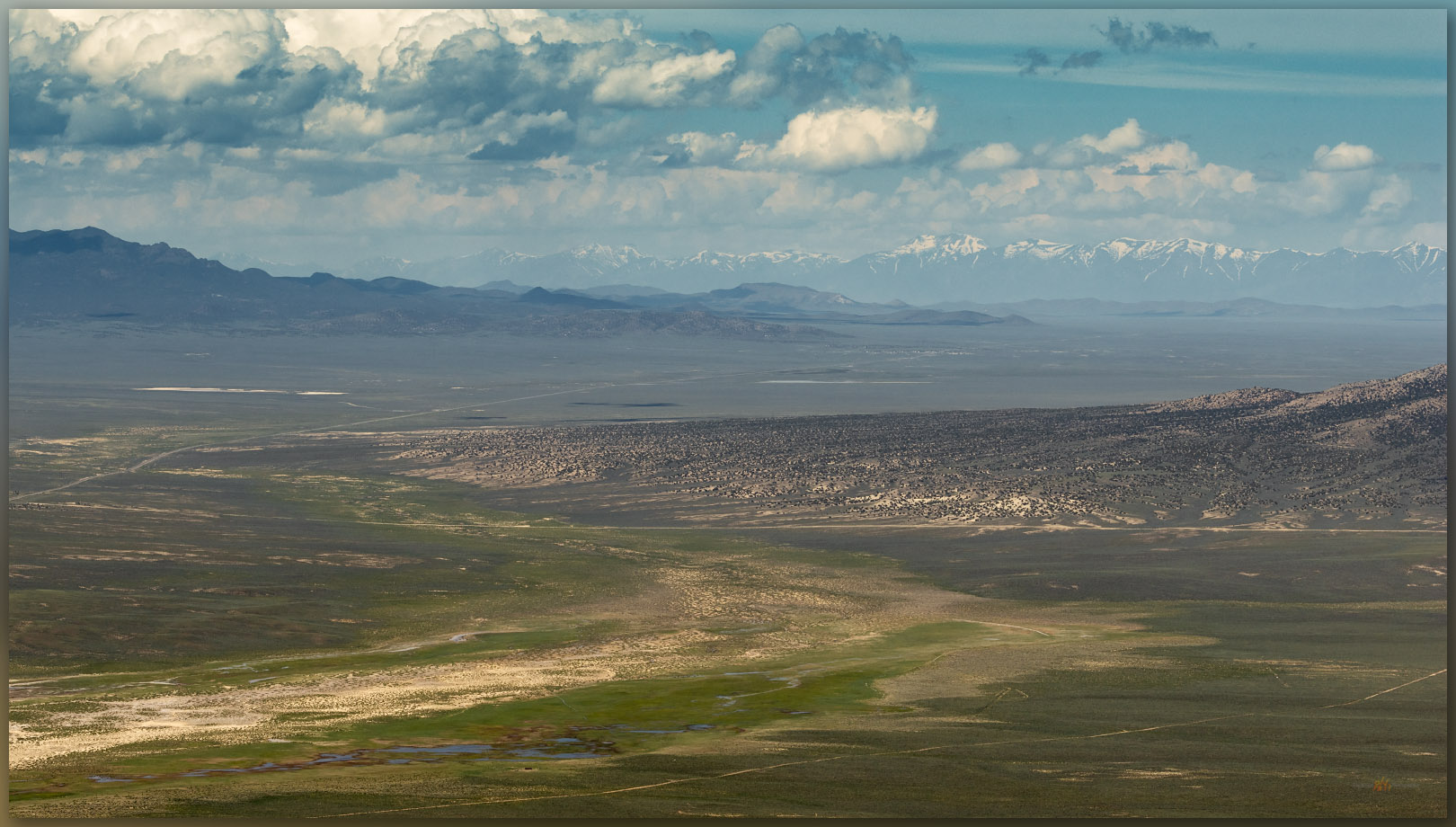
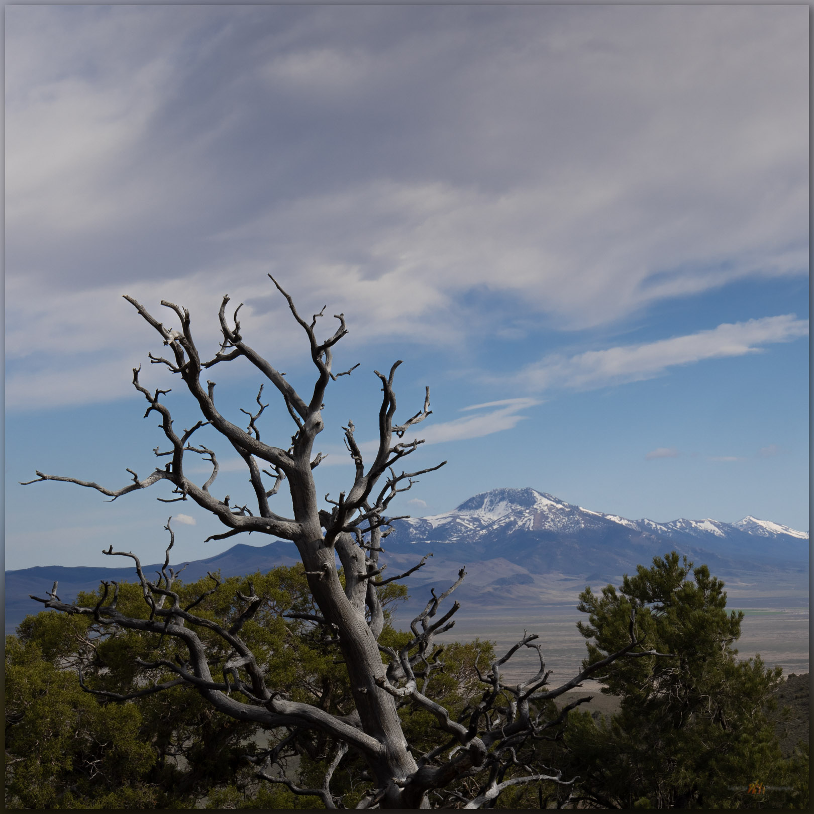
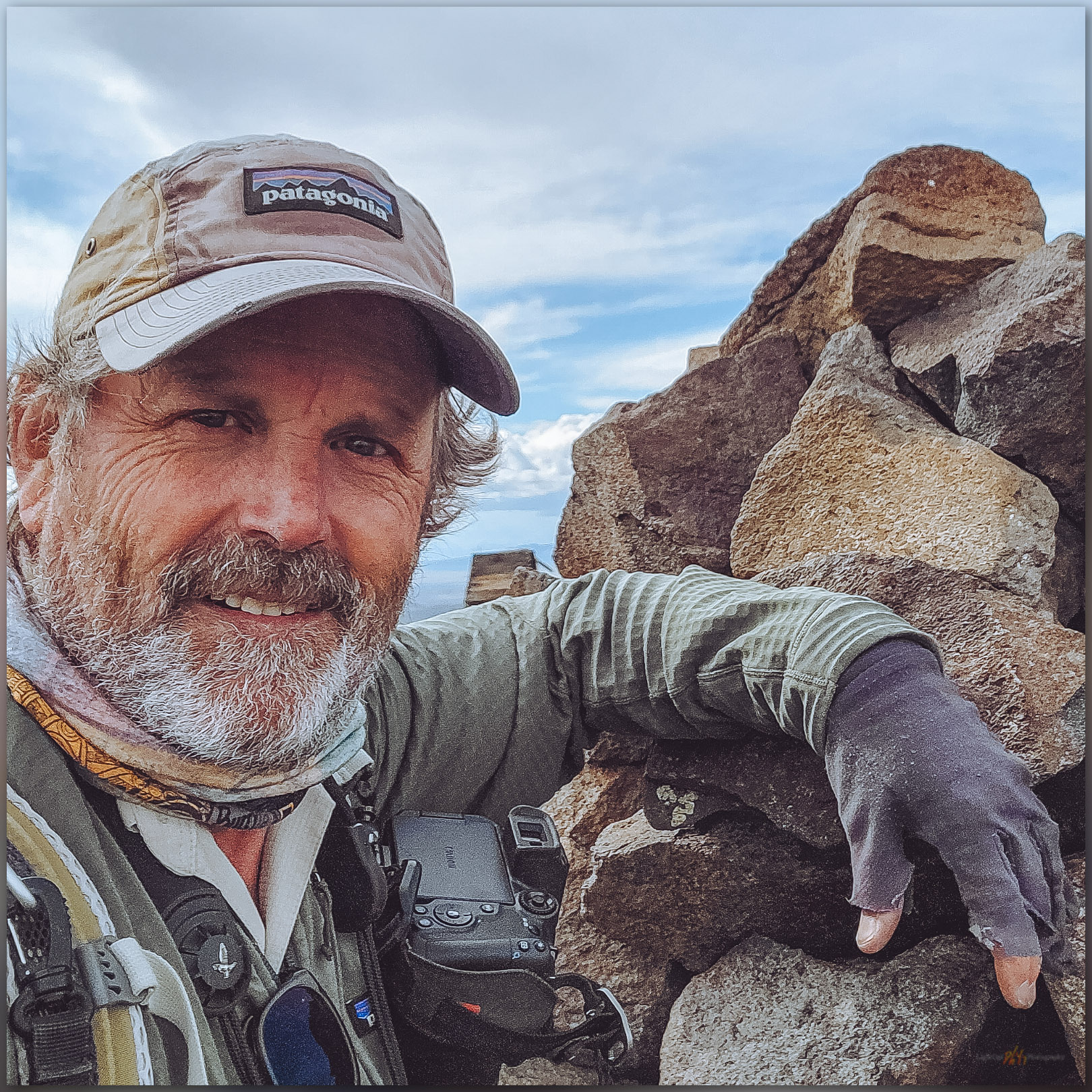
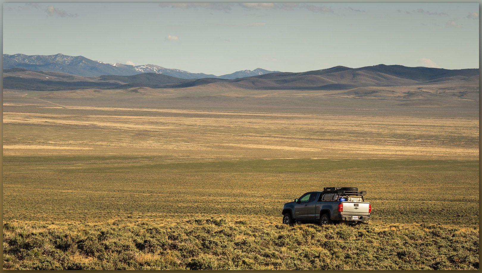
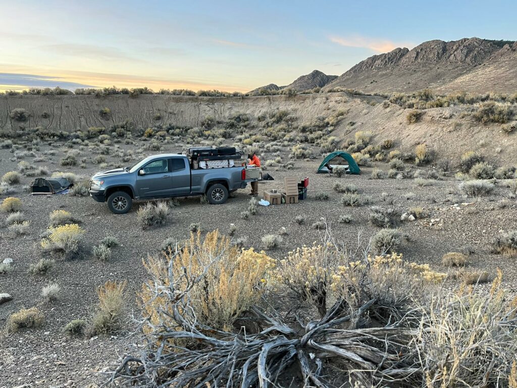
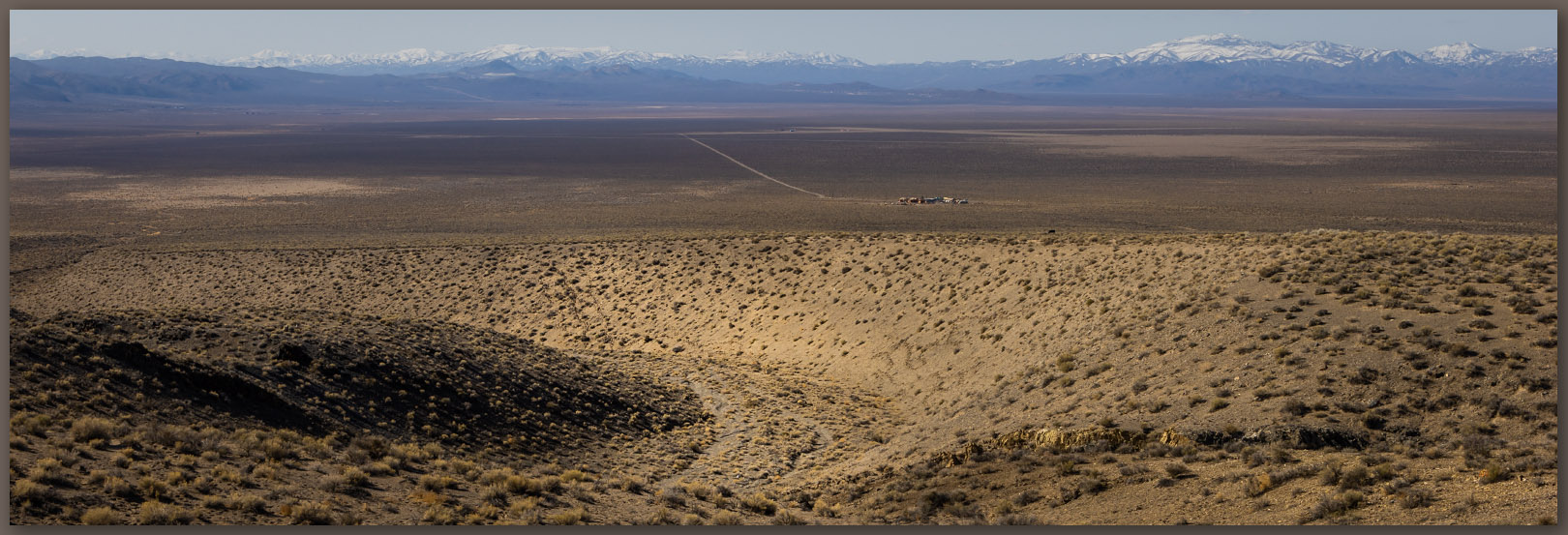
While returning from meeting with the tribal council of the McDermitt Paiute and Shoshone, after presenting some recent project results, a colleague and I decided to turn into the northern Santa Rose Mountains to find the small range known as the Martin Creek Mountains. These form a low ridge that extends from the Santa Rosas, east of Hinkey Summit at the northern end of Paradise Valley. I have been at Hinkey Pass many times, looking into the Martin Creek Mountains but not realizing or remembering this small range was on my list. Erik and I approached from the north on the Buckskin Road, a bit mesmerized by riparian productivity we had not experienced in ranges to the west – the prominence of the Santa Rosas has an orographic pull on the limited annual moisture reaching into this area of the northern Great Basin.
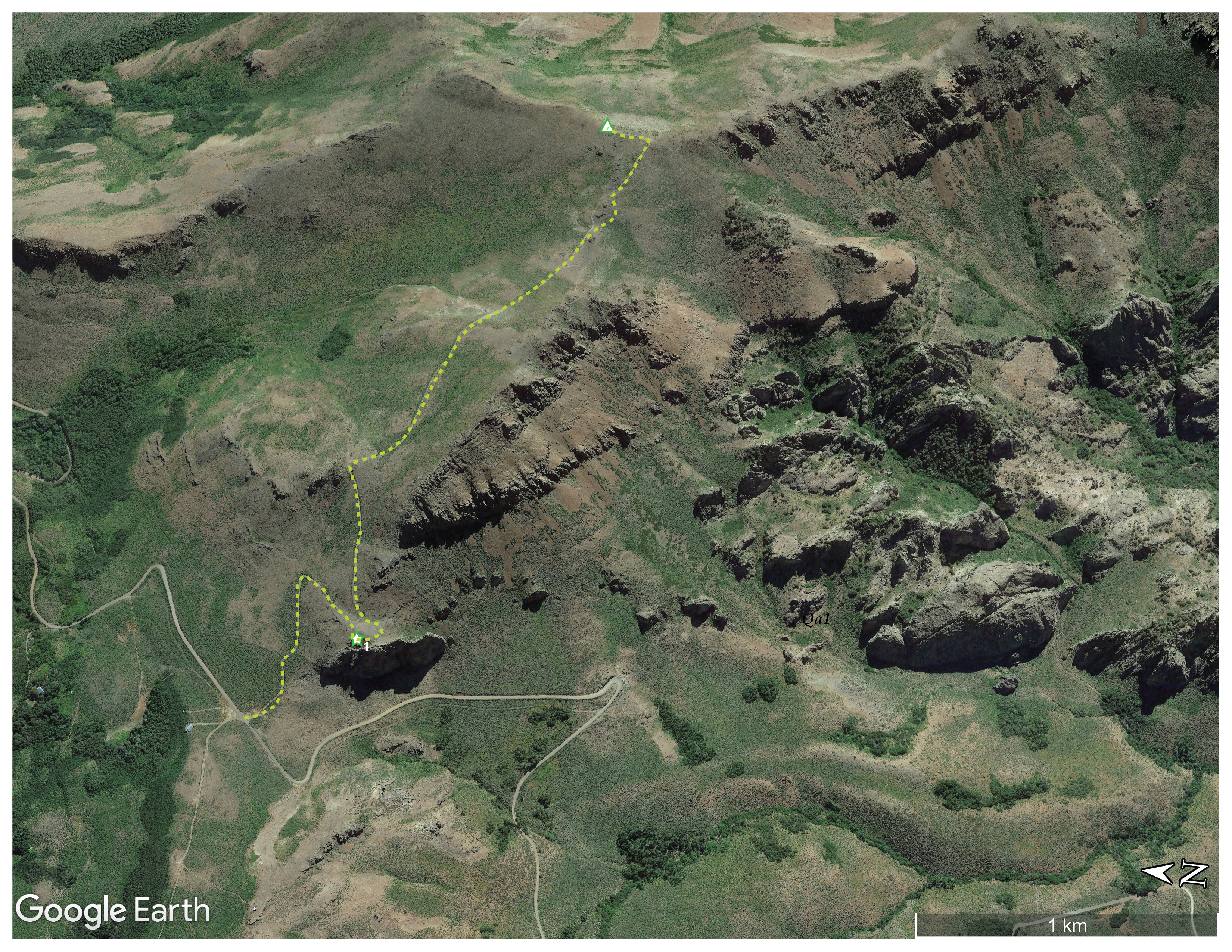
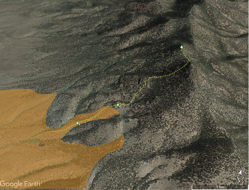
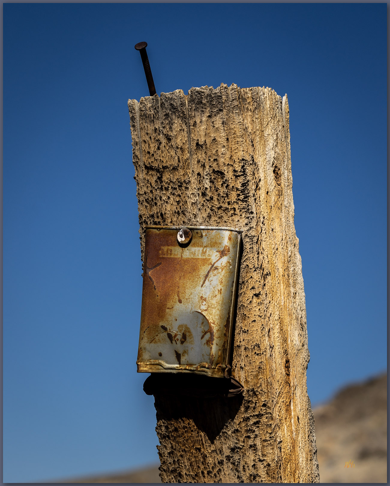
We stopped at Hinkey Summit where a two-track splits east to Eatons Peak, where a communications box marks the high point. I started from this same spot when I visited Granite Peak (HP #33), the highpoint of the Santa Rosas at almost 10,000 feet, in October of 2001, wandering up the ridges to the west. The trail to Eatons Peak is not long and not particularly interesting, but the views are expansive and worth the short hike.
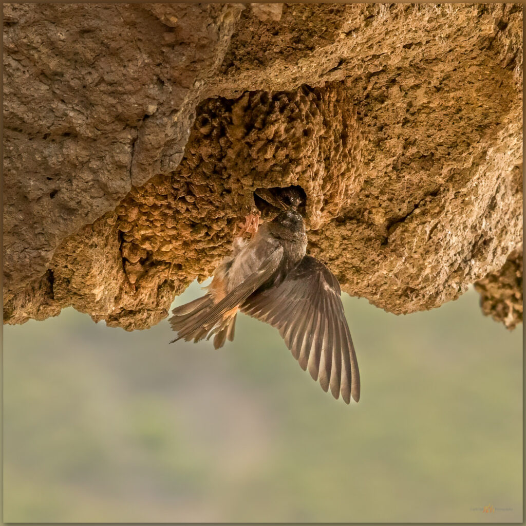
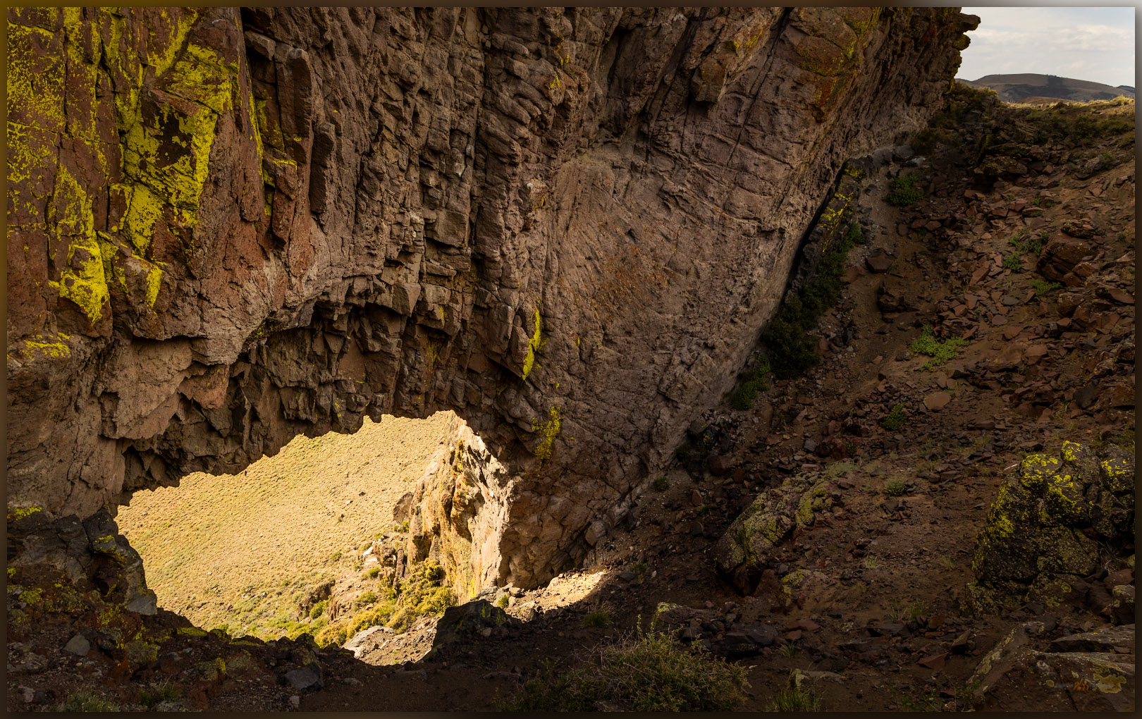
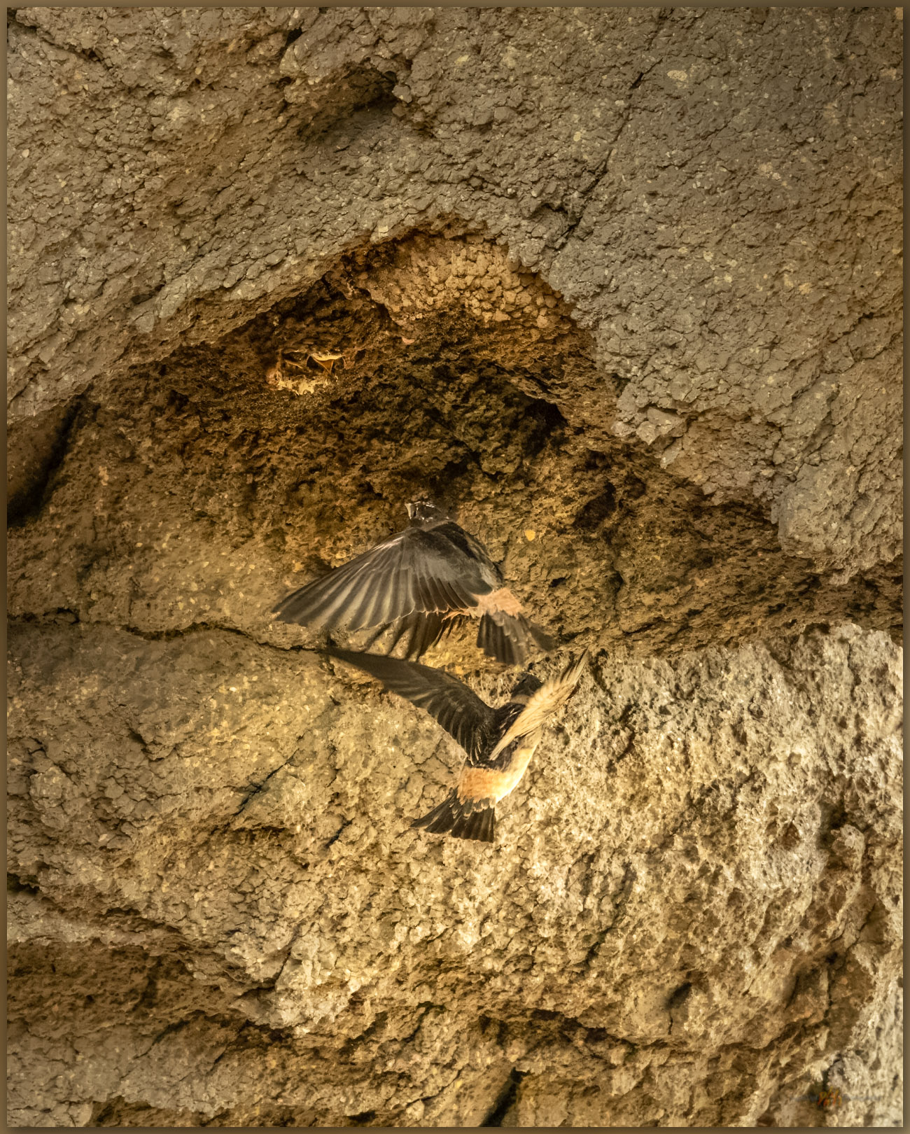
Walking upward, we encounter a surprising arch. From the east, one looks downward, steeply, through the throat of the arch, which funnels colluvium of talus boulders into a prominent apron leading to the Hinkey Summit road. I must have seen this on every previous trip into the Santa Rosas, but it is fun to have approached from the north – I almost always came from the south where the arch is obvious – and to have my memory restored by walking up on its obscured, eastern side; obscured, that is, until the slope suddenly drops away into the gullet of the opening, only a winding road visible through its window. Cliff swallows pass acrobatically through the arch, guided to their hanging nests by much clearer memories and the calls of hungry chicks.
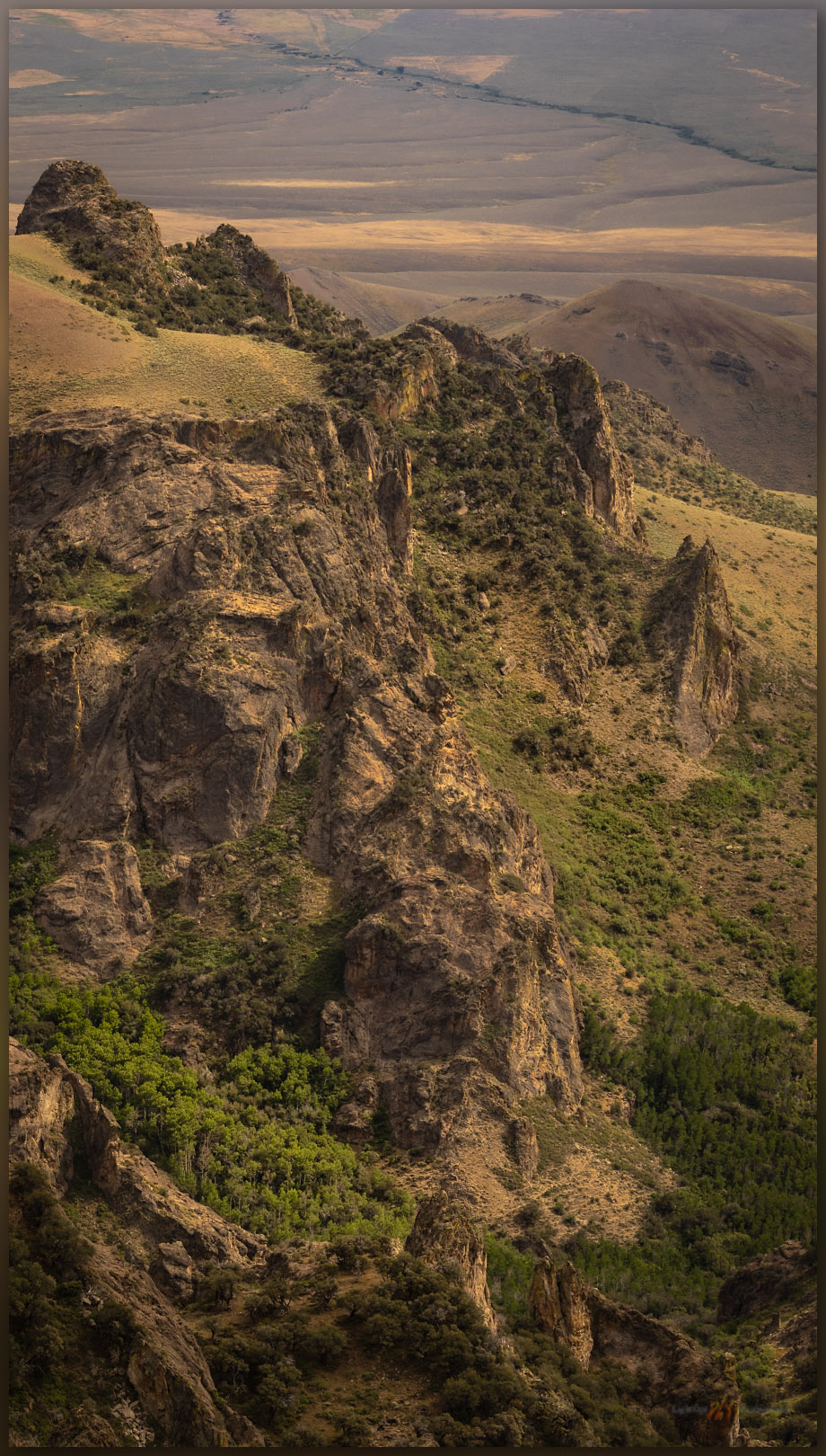
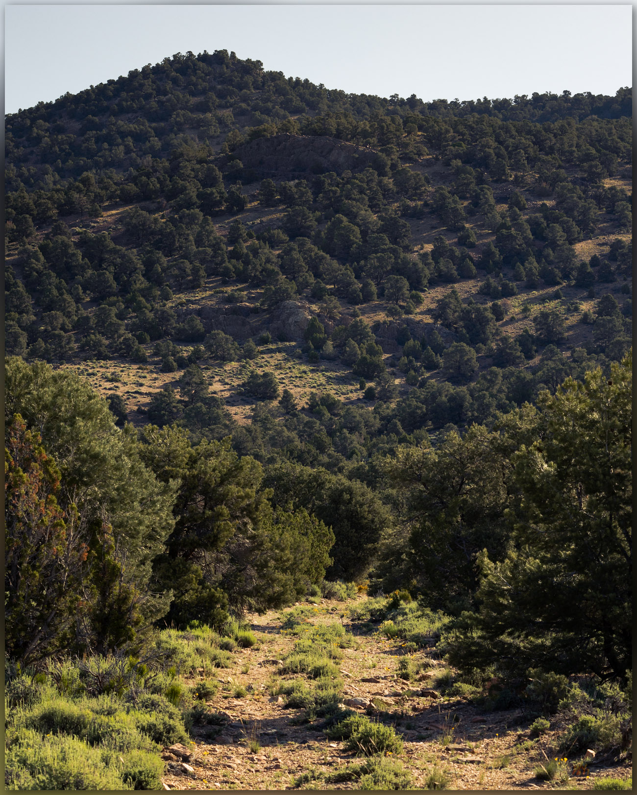
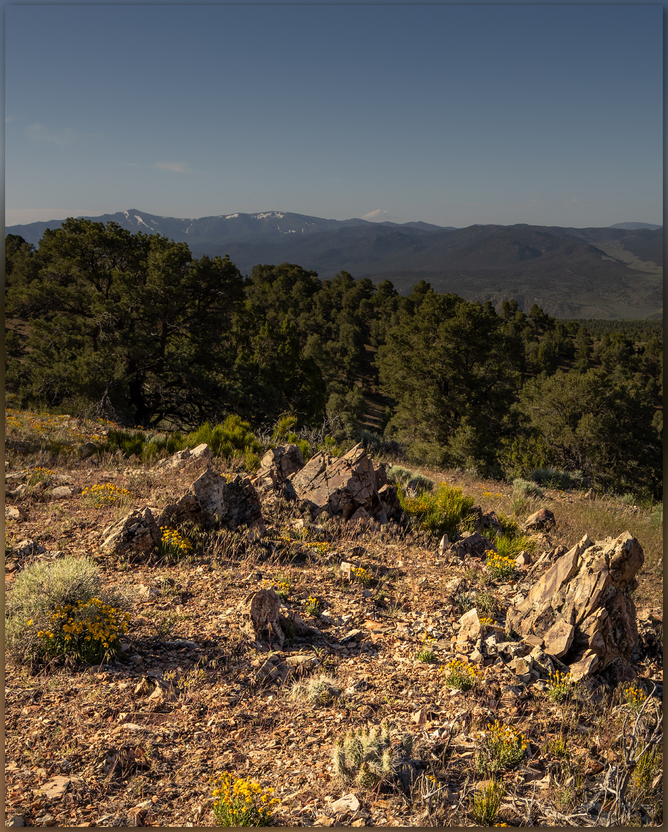
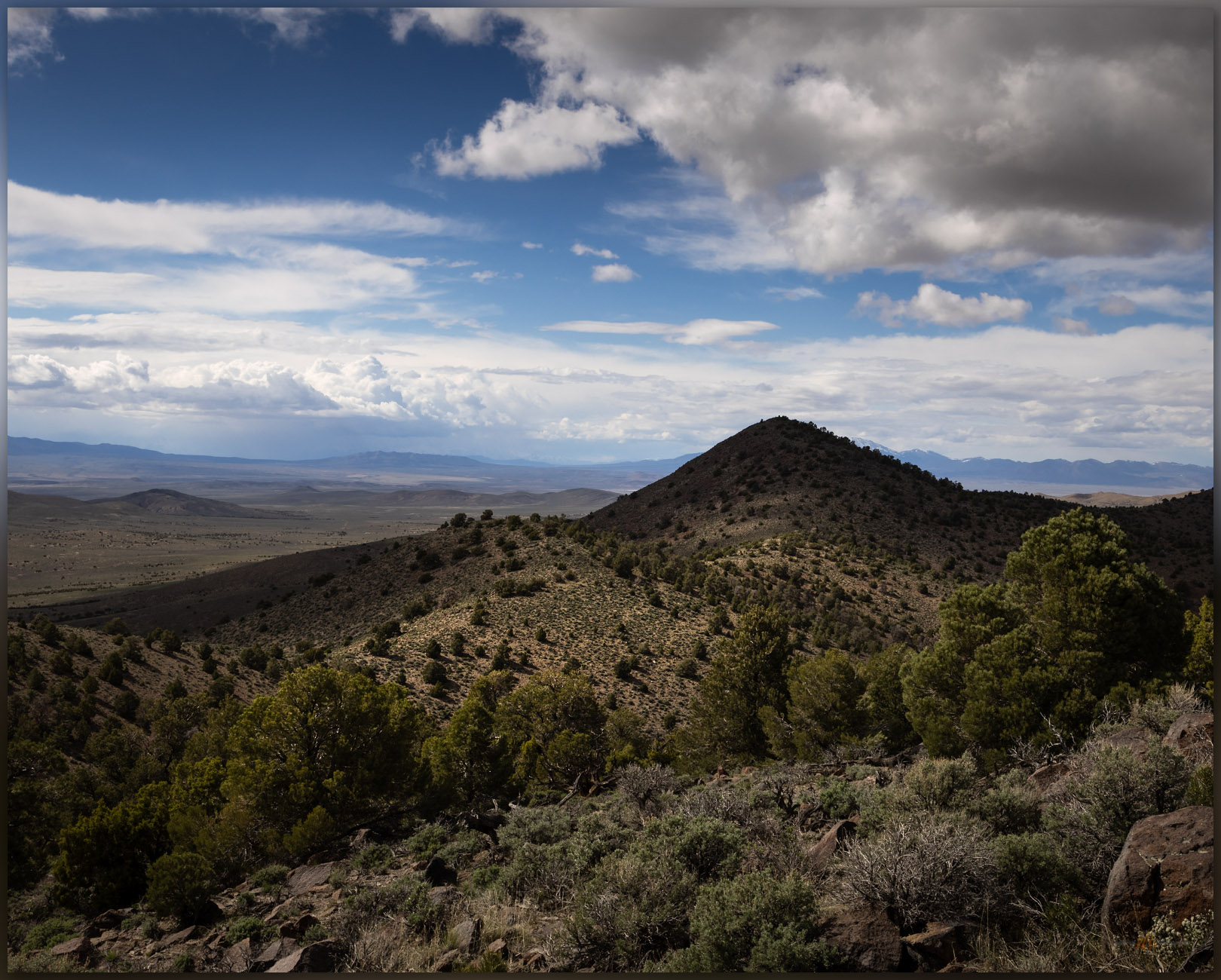
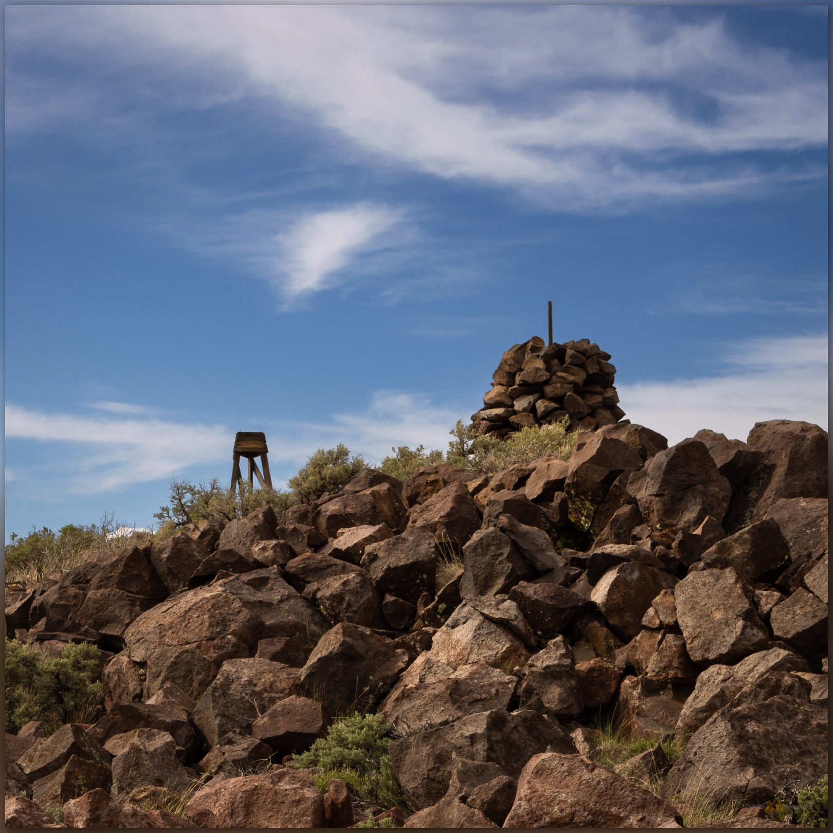
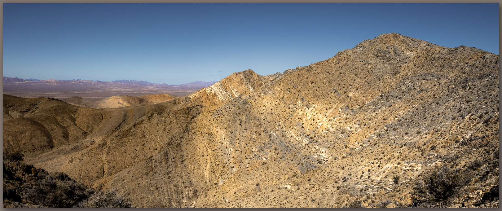
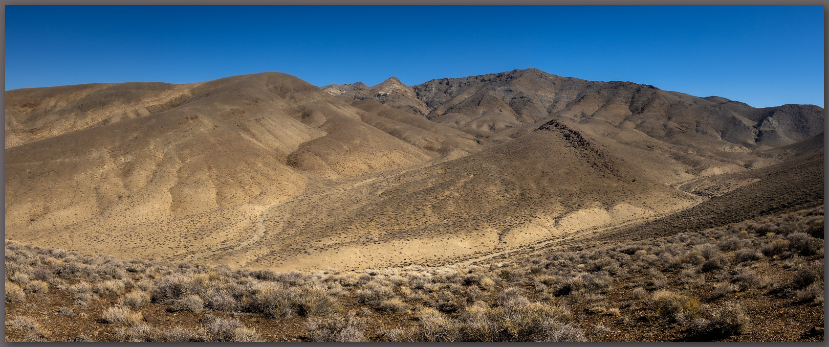
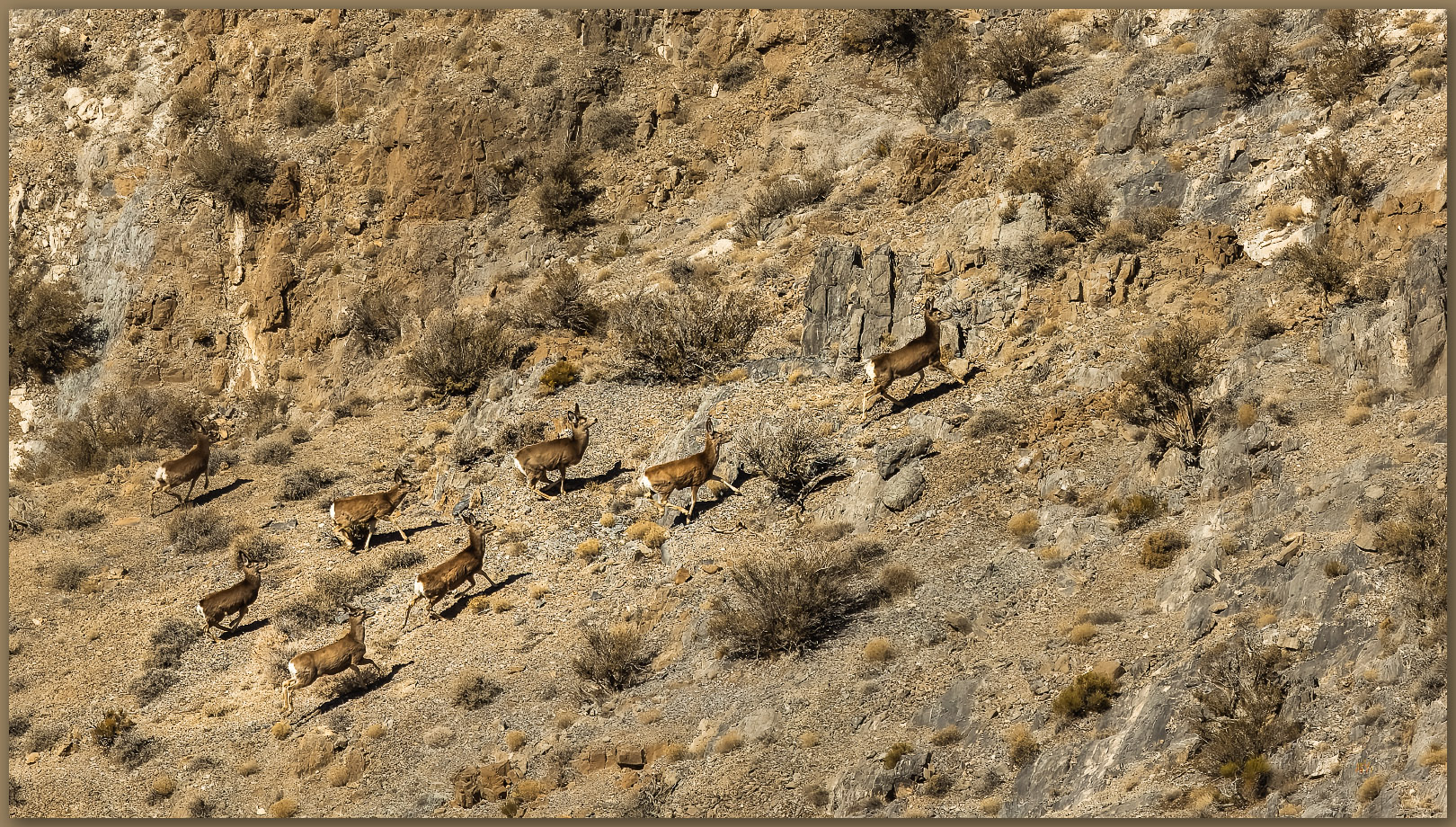
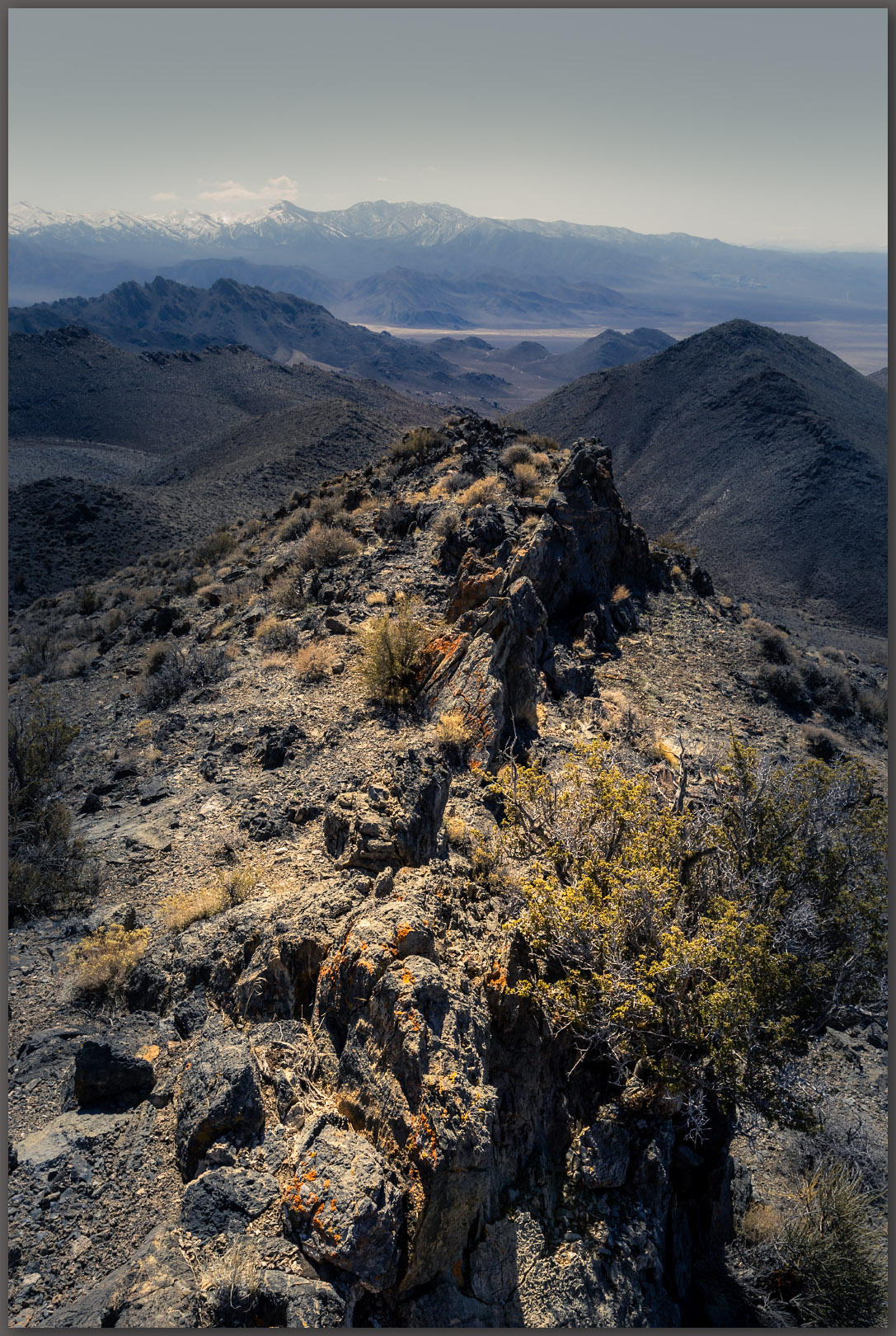
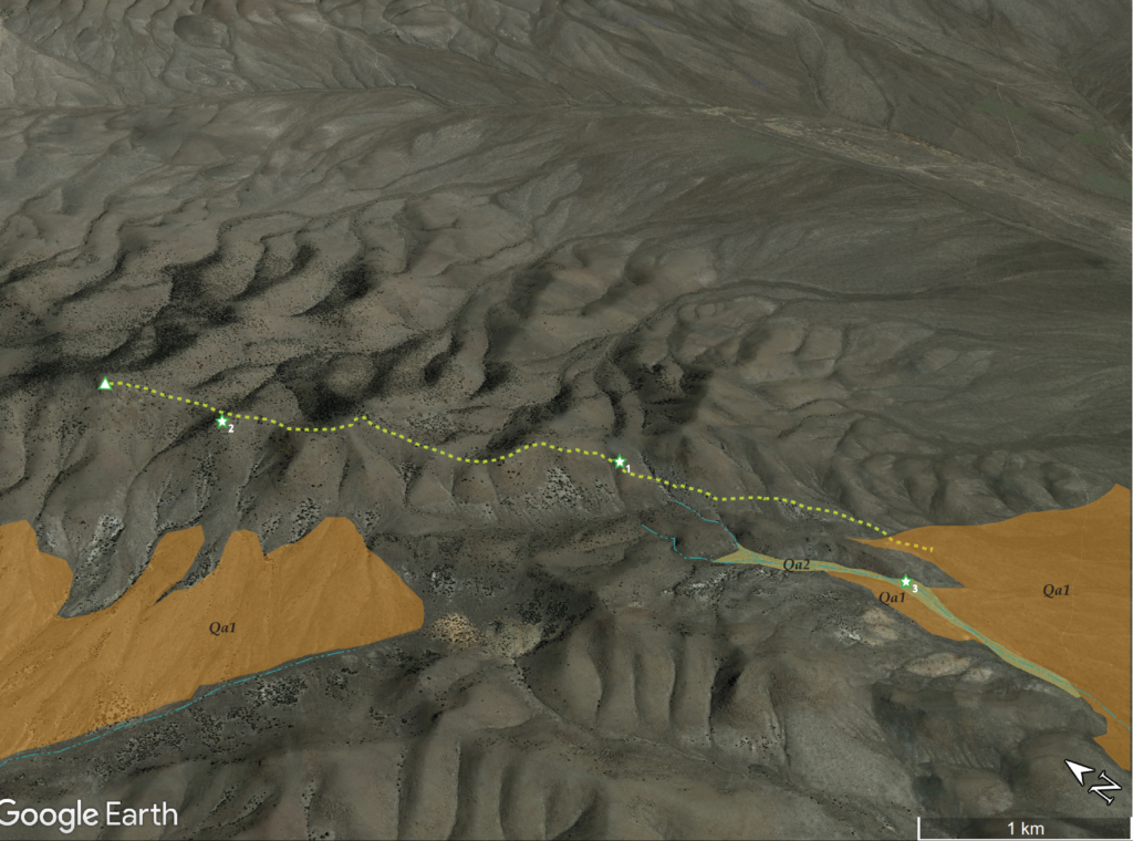
We leave the road to wander the outcrops forming the ridge to the summit. The sky is a treat today and there is dust in the air, so photography is interesting and fun. We are at the summit register easily, it is only a small cairn next to the communications box. A trail east catches my attention, and I can see that this could lead into some interesting country on its way to Martin Creek, the namesake drainage that bounds the ranges east side. There are several other small ranges to walk in this area, so I am hopeful that this trail hints at others further east. Again, I forget how interesting the hills rising from Paradise Valley are, even as I lived in Winnemucca once-upon-a-time and not so far away.
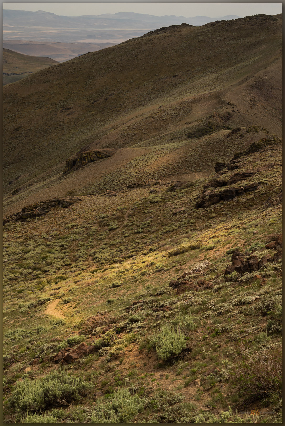
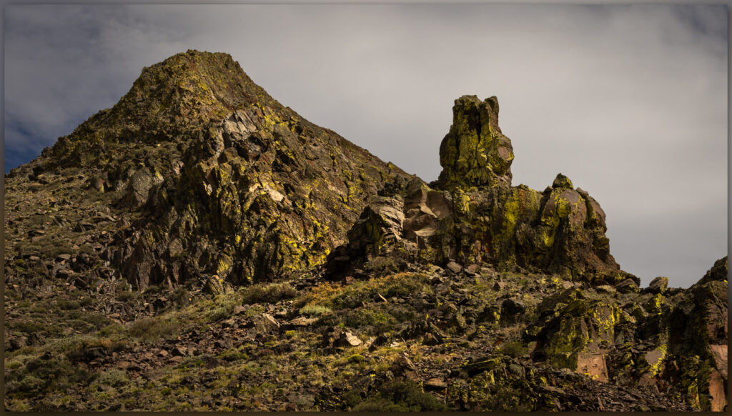
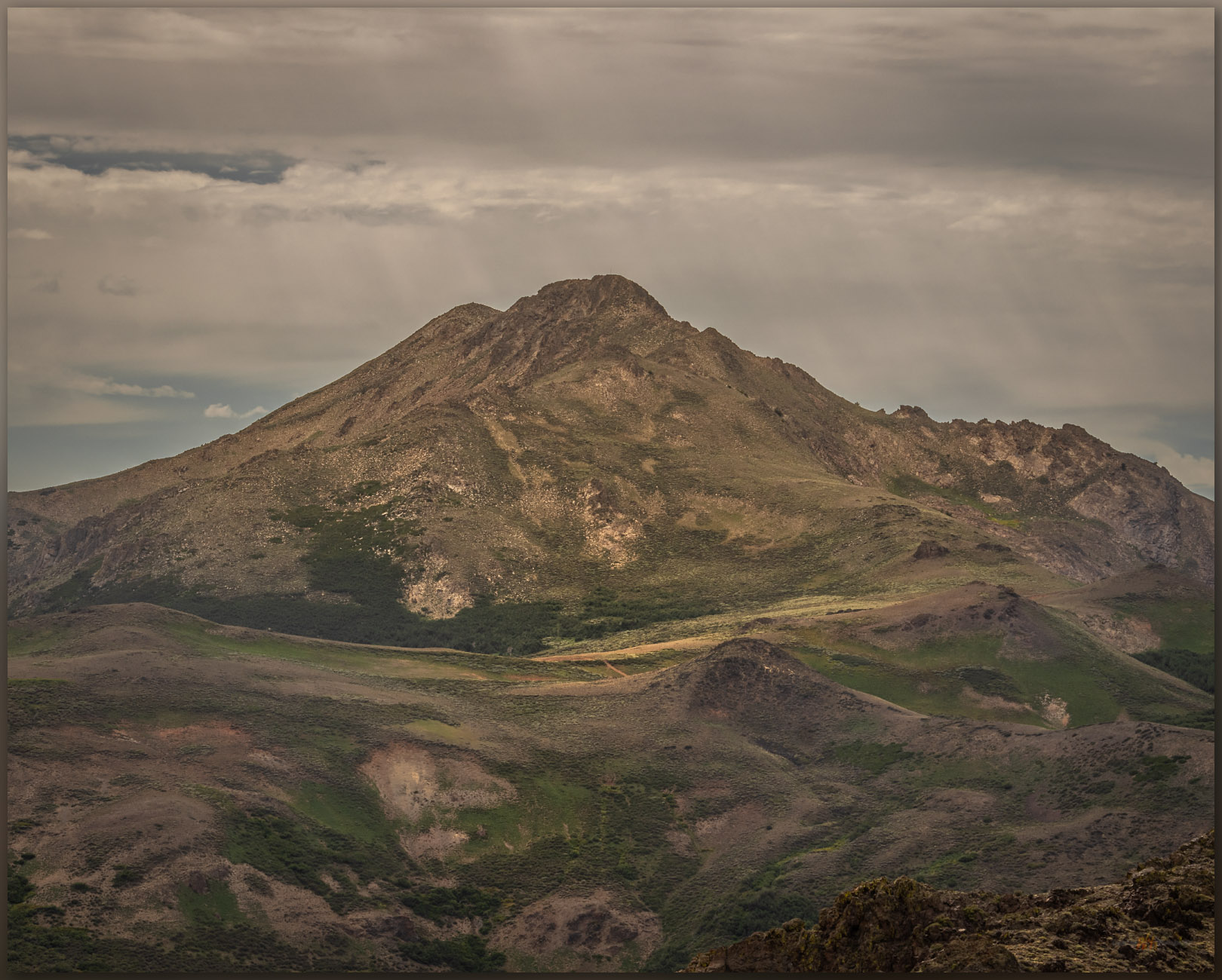
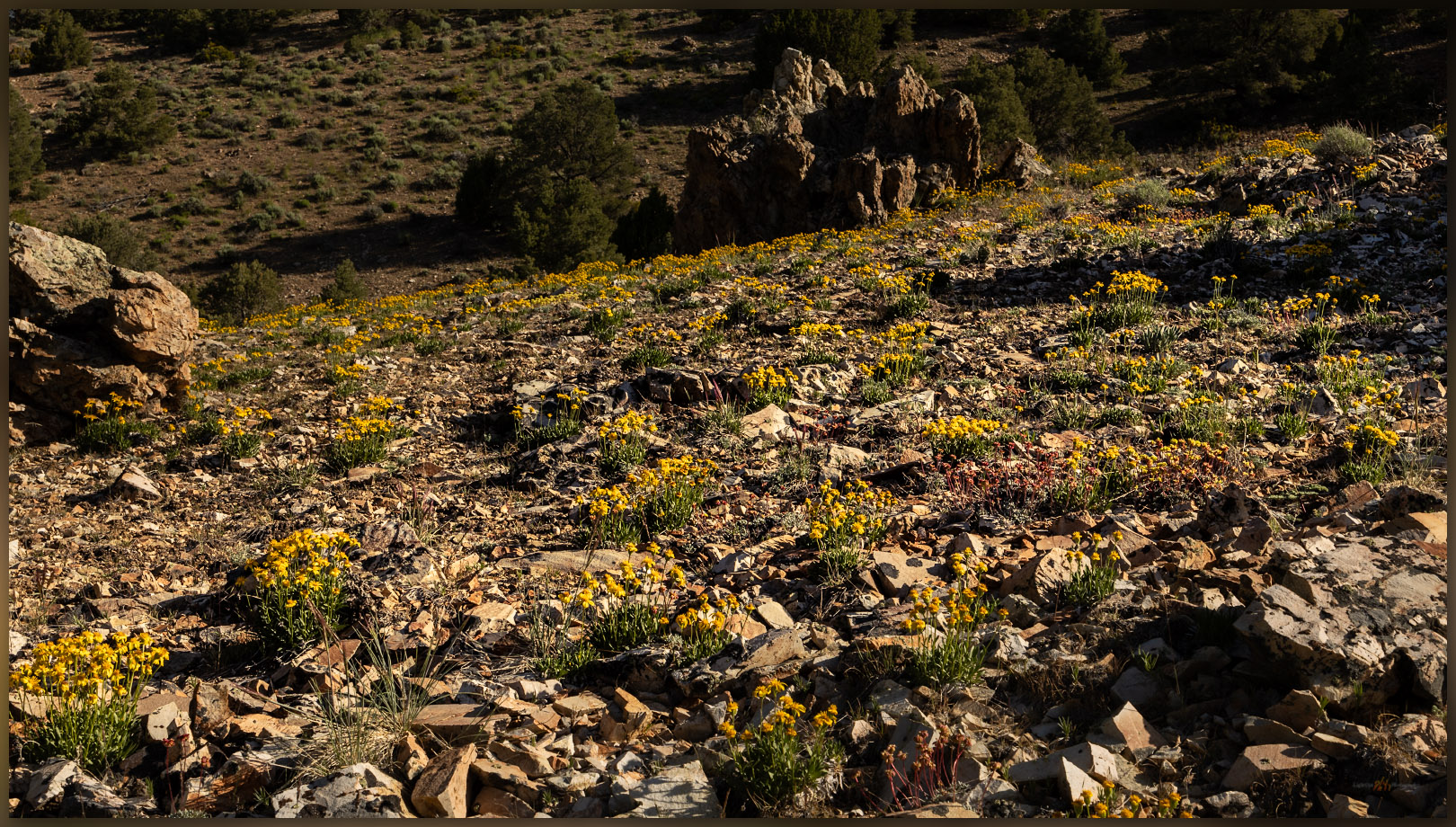
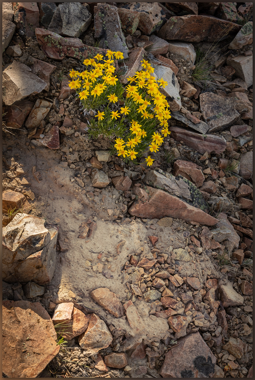
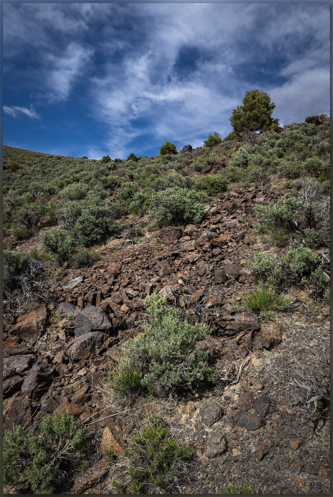
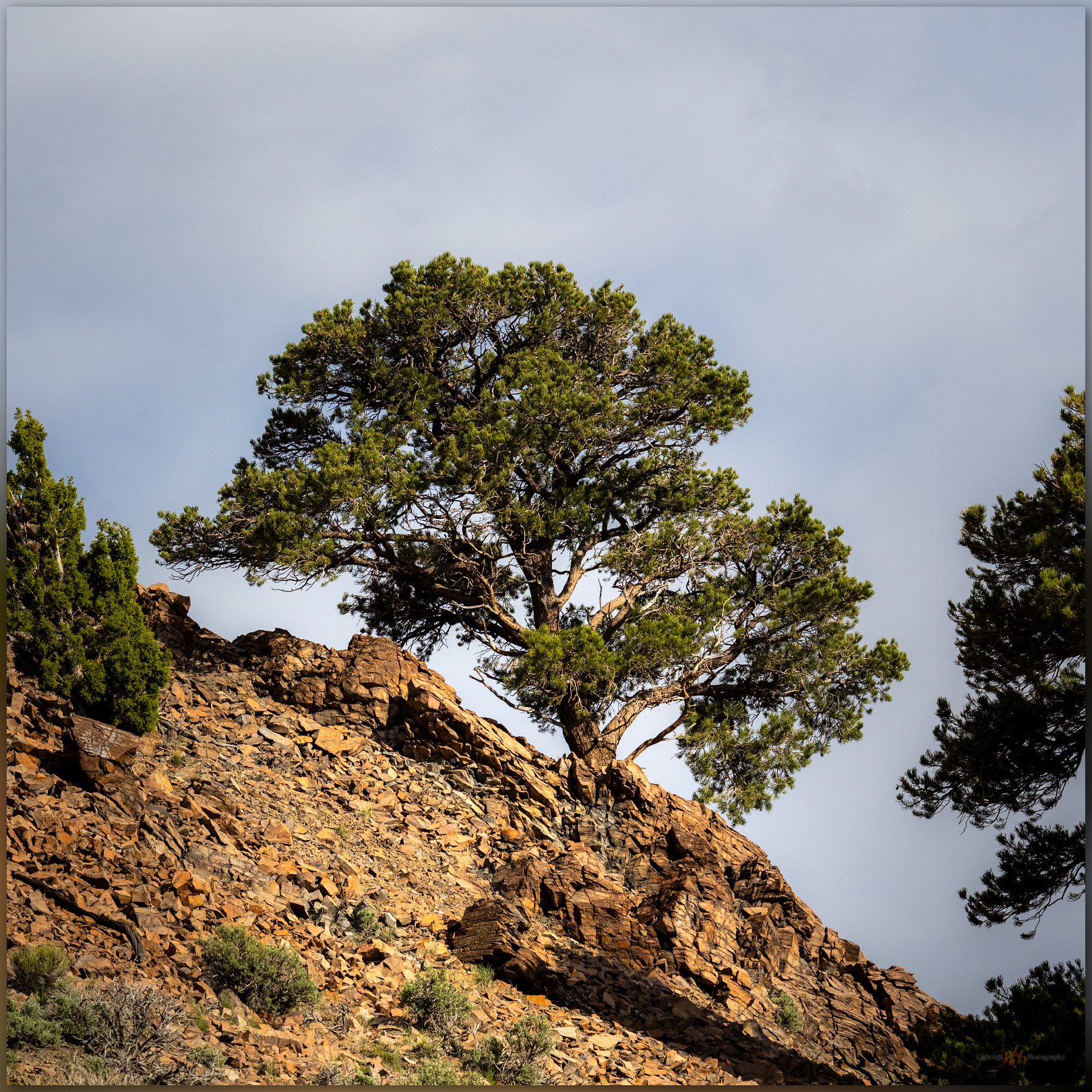
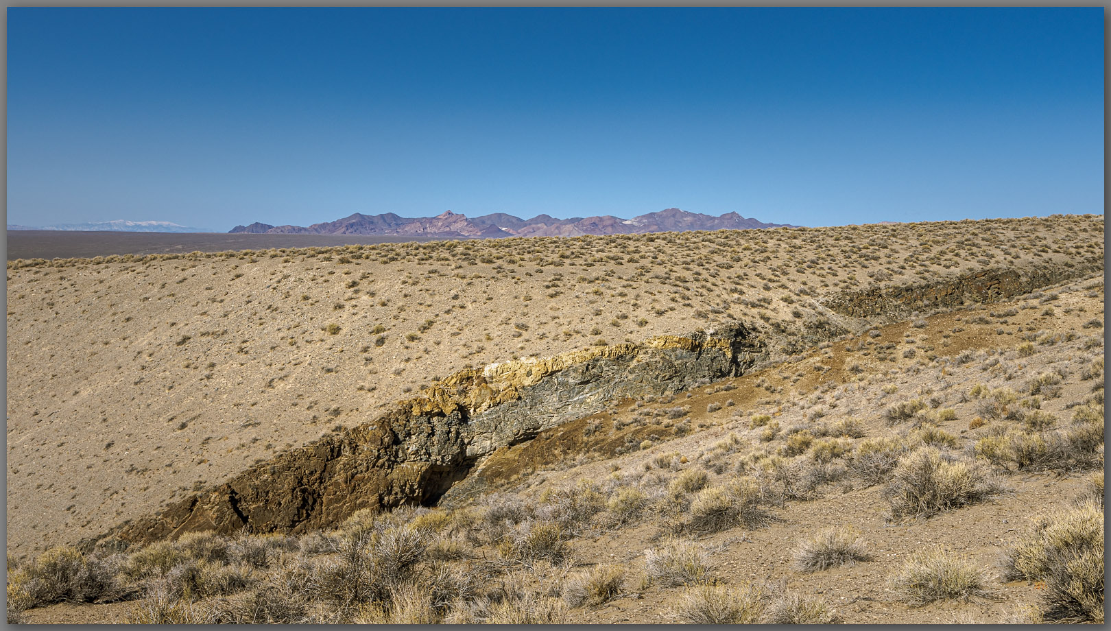
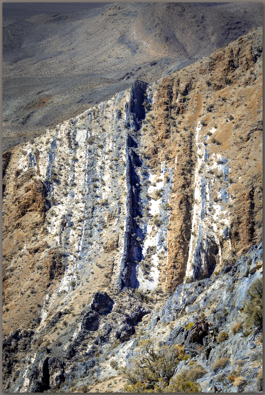
The volcanic rocks of the Martin Creek Mountains are fractured and peeling away from the rising pluton that forms the Santa Rosas to the west – these are remnants of the volcanic blanket of lavas and tuffs that extruded from vast calderas that rose and collapsed in the eruptive turmoil of the middle Miocene, some 15 to 20 million years ago, in this area of ancient Nevada. The lichen-coated volcanics drop to a fractured landscape, probably remnants of caldera margins, that seem to hide green vales and woodlands, the dust and light playing tricks on the scale of the rugged landscape. Our route lacks mappable landforms of recent process other than the colluvium of talus that forms a common surface veneer; some of the talus is funneled through the arch to the slopes below.
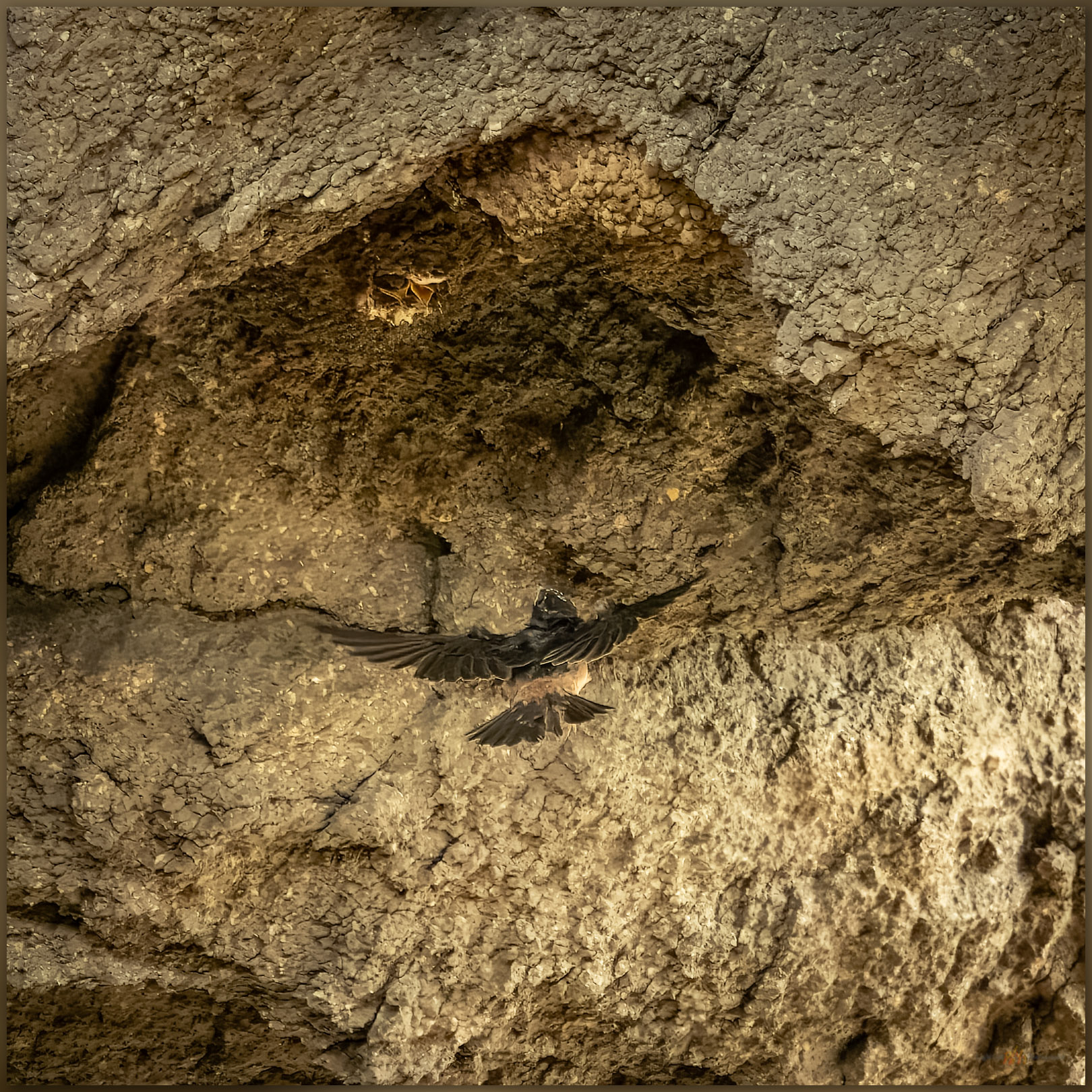
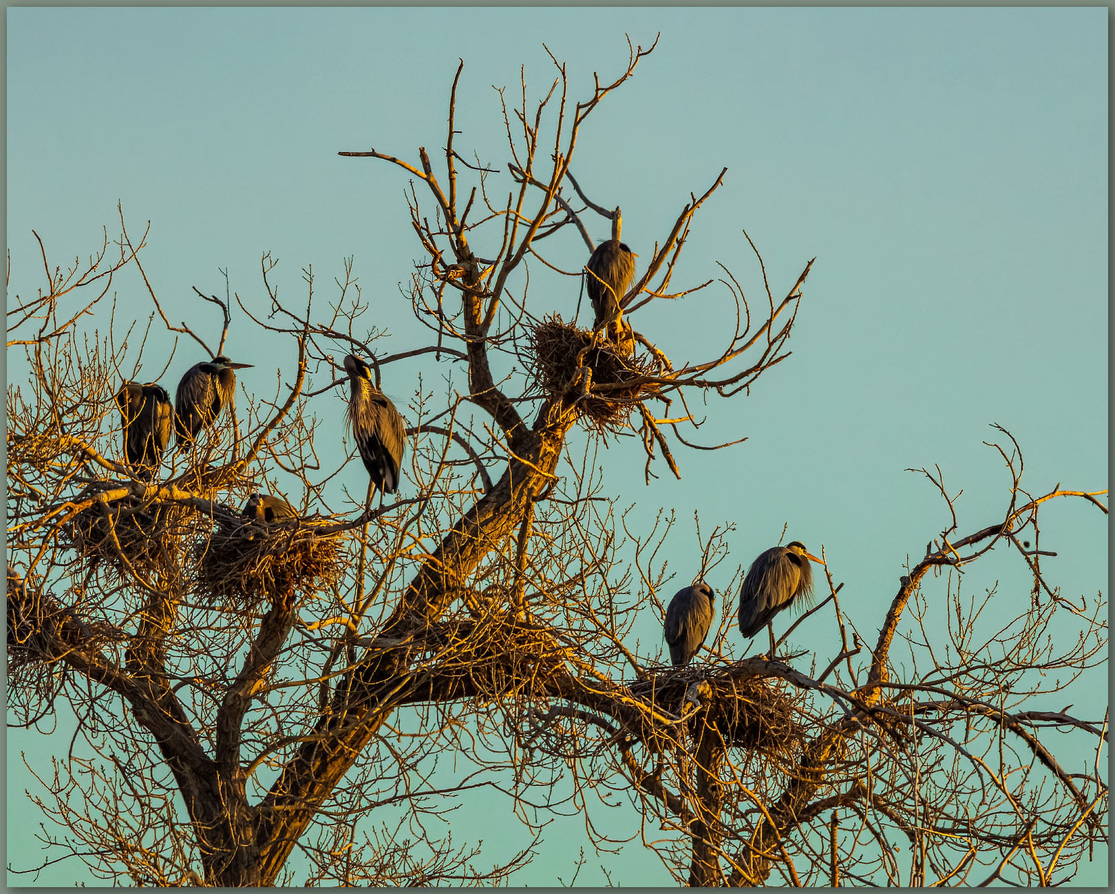
I stop for a while to watch the swallows feeding their young in the upside-down world of their hanging nests. They circle through the opening, occasionally rocketing skyward to loop around the ridge and drop into the sunshine of the larger, west-facing opening. The parents hover momentarily as the chicks chirp their pleas and poke out of conical mud nests. With a careful, acrobatic burst the parent rises to the gaping mouths and shares whatever sustenance it had captured. I back away as a few become annoyed with my presence – no need to get too close, I do not want to interrupt the busy families.
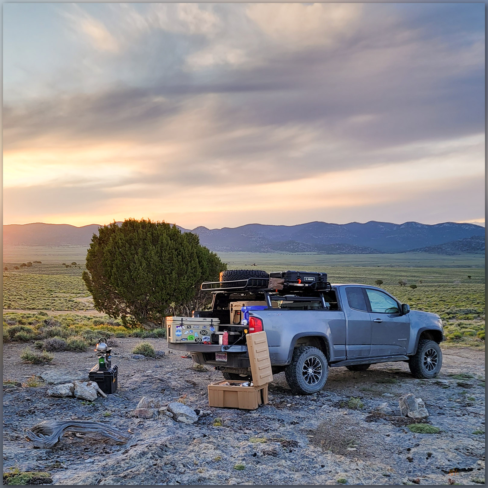
It was an easy walk at the end of a long day, and we had longer to drive home. The refreshment of a good hike, and reminder of some landscape I once felt more familiar with, was worth the detour from our work-day itinerary. As is so often the case, the small hills hide their own treasures, revealing views, hidden trails, and lively habitats that would be missed otherwise. I look forward to future excursions here above Paradise Valley, pushing into the hills that will, like Martin Creek, hold a few secrets of their own.
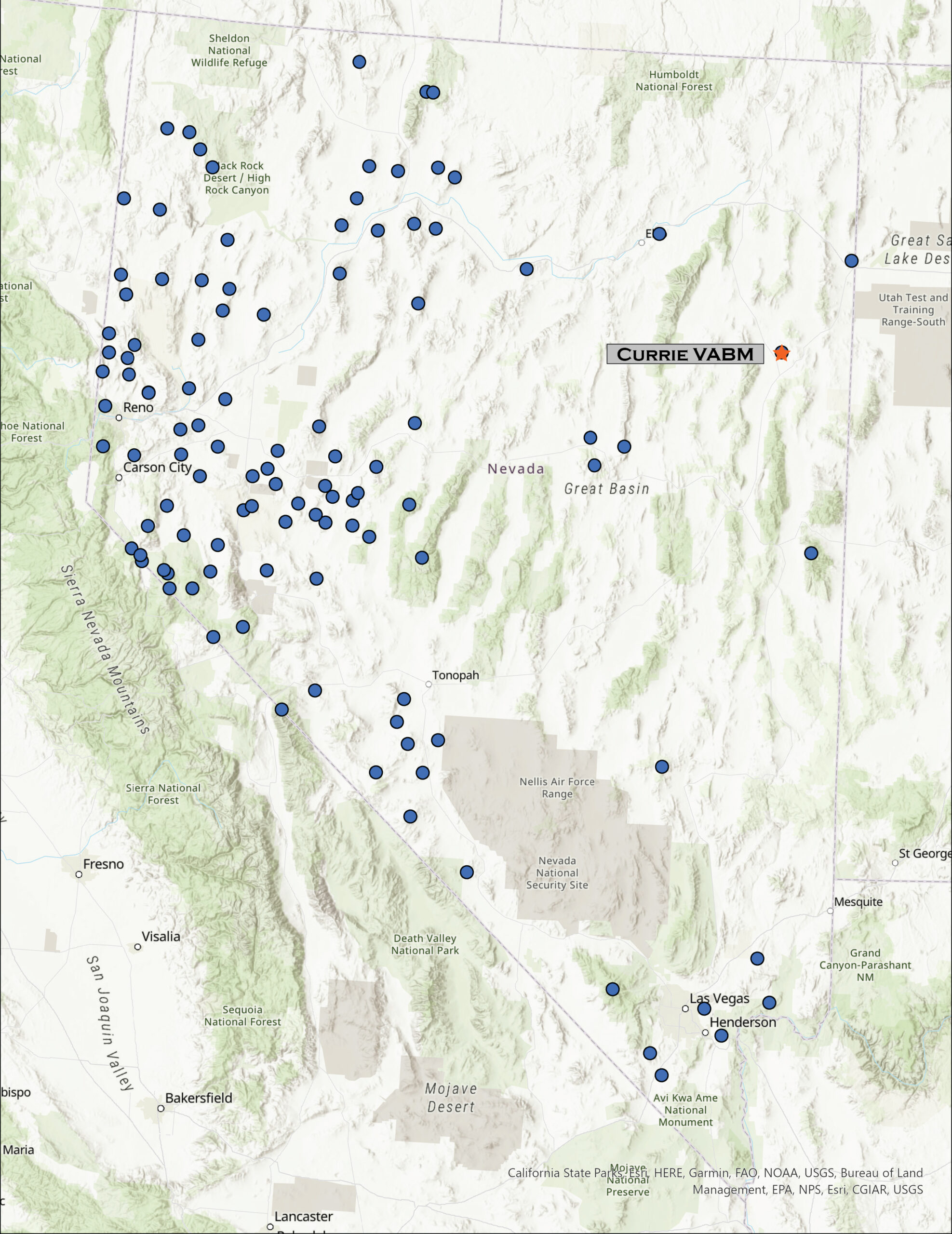
Keep going.
