• Skip to primary navigation
  • Skip to main content

Trail Option

A personal geography of landscape and place, art and geo-science.

  • Home
  • TrailOption Blog
  • WayPoints
  • Galleries
  • About
  • Contact TrailOption
  • Subscribe!
  • Show Search
Hide Search

great basin

Nevada High Points #117 – Monitor Hills

D. Craig Young · January 23, 2024 · 1 Comment

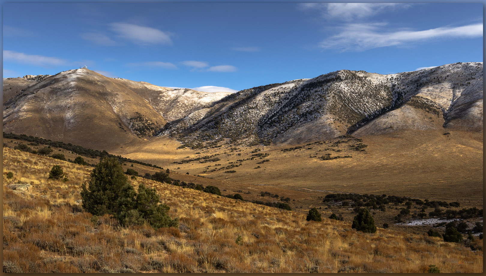
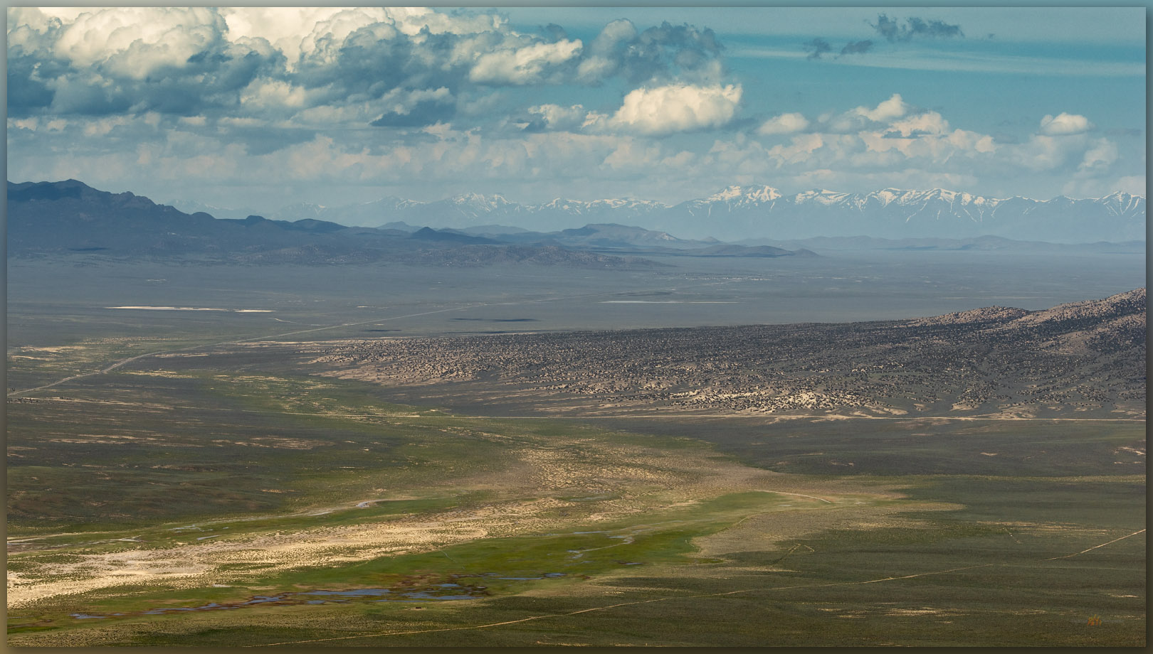
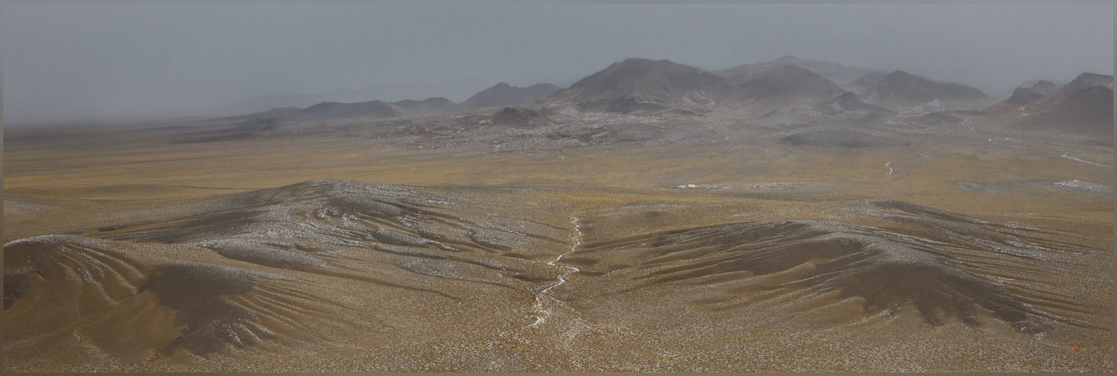
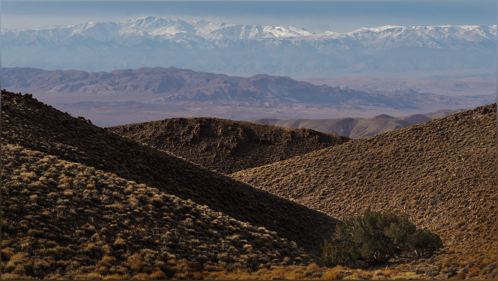
Ragged symmetry. The eroded landscape of the southern Monitor Range from the Monitor Hills, Great Basin Desert, NV, USA

Monitor Peak

6374 ft (1943 m) – 1030 ft gain

2024.01.24

Monitor Hills Collection


A missile, about 10 feet off the ground, marked our turn. I have driven many times past this lonely missile mounted on a pole next to Highway 6 east of Tonopah, Nevada, always wanting to take the turn and head south. There is a secured gate several miles further, but we were headed to the Monitor Hills, and not this secluded entrance to the Nevada Test and Training Range. Clear skies preceded us, and yet we had been driving through an early morning that varied between fog, rain, and snow. The weather followed closely, overtaking us as we parked at the foot of the small range.
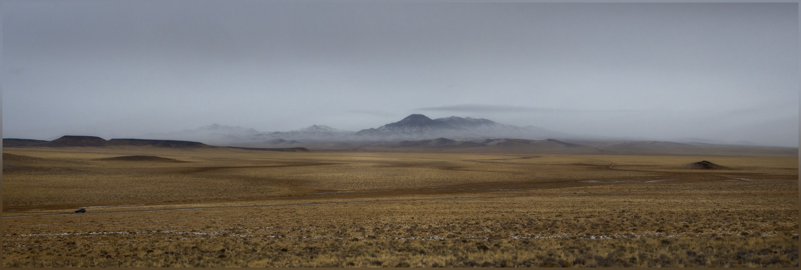
Setting in. A snowy fog follows our approach, Monitor Hills, Great Basin Desert, NV, USA

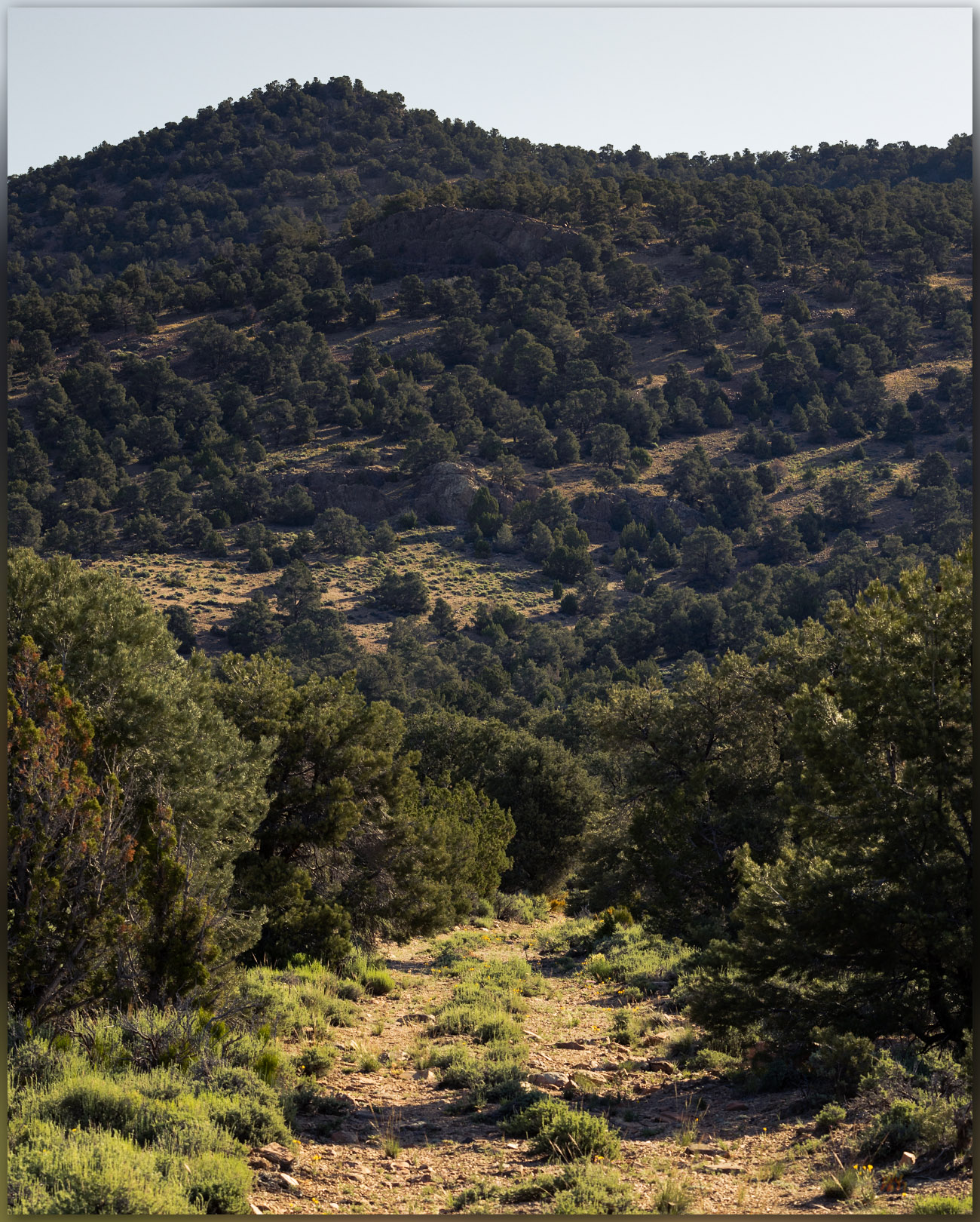
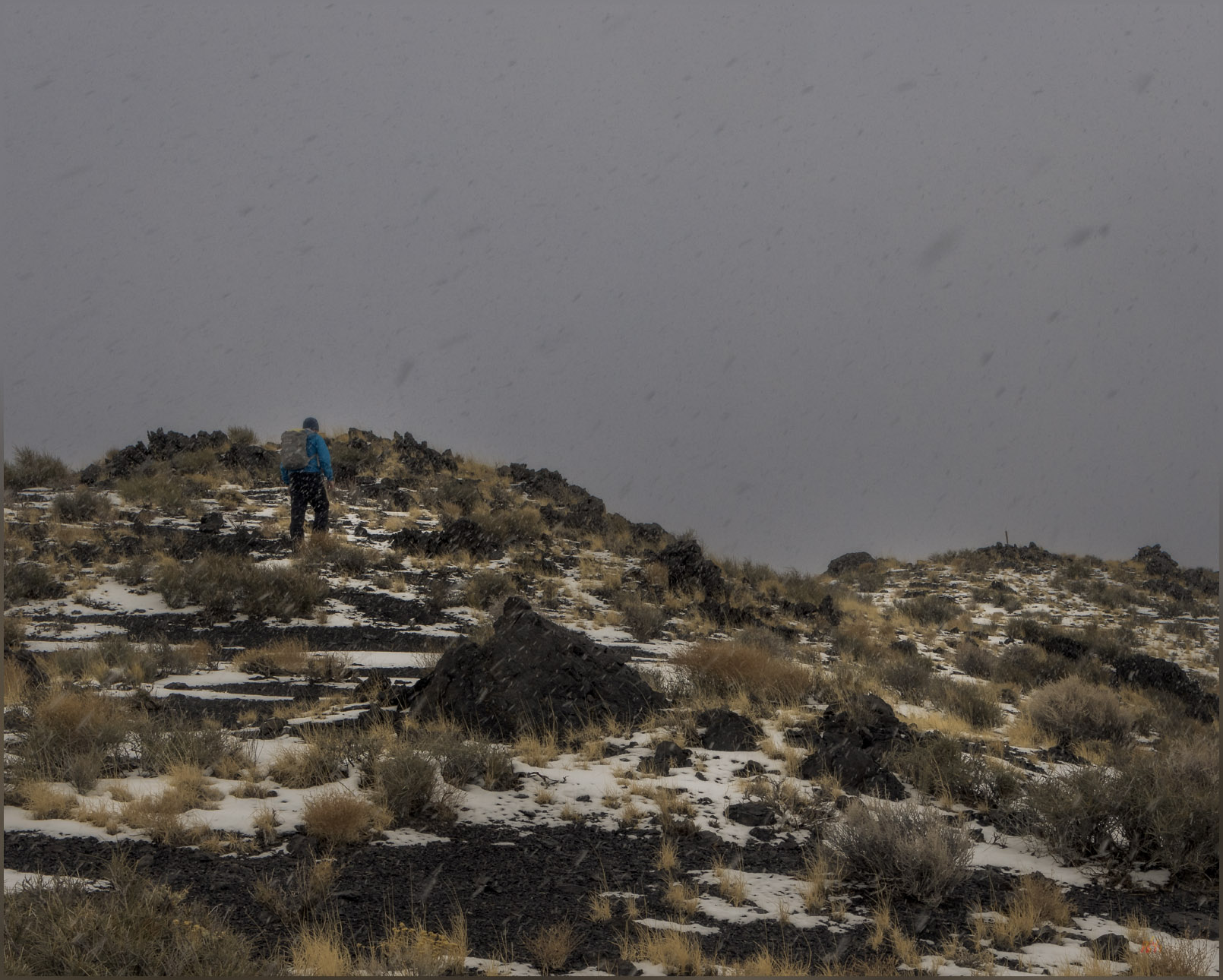
Monitor Peak is a nice, isolated hill with a lava-capped summit on a foundation of eruptive tuffs and relict fans that eroded from an ancient mountain range that this younger volcano pushed through million years ago. However, I had to mention the missile for a bit of excitement, because Darren and I, while having a good, snowy walk, reached the high point after a short, simple walk up a small canyon and quick traverse to the rolling summit. It started snowing as we started walking. I have hiked so many high points and have rarely had an inclement adventure on any of them, though I do not plan according to the forecasts – I would like an adventure or two with some dramatic skies to photograph. In the Monitor Hills, however, we had no views from the summit, while the snow fell gently as fluffy flakes falling slowly through a misty fog. It was a pleasure, but there is not much of a story to tell – the old missile looks as aggressive as any aerial weapon, but it is rusty and inert, of course, and basically a contractor’s sign for work on the test site.
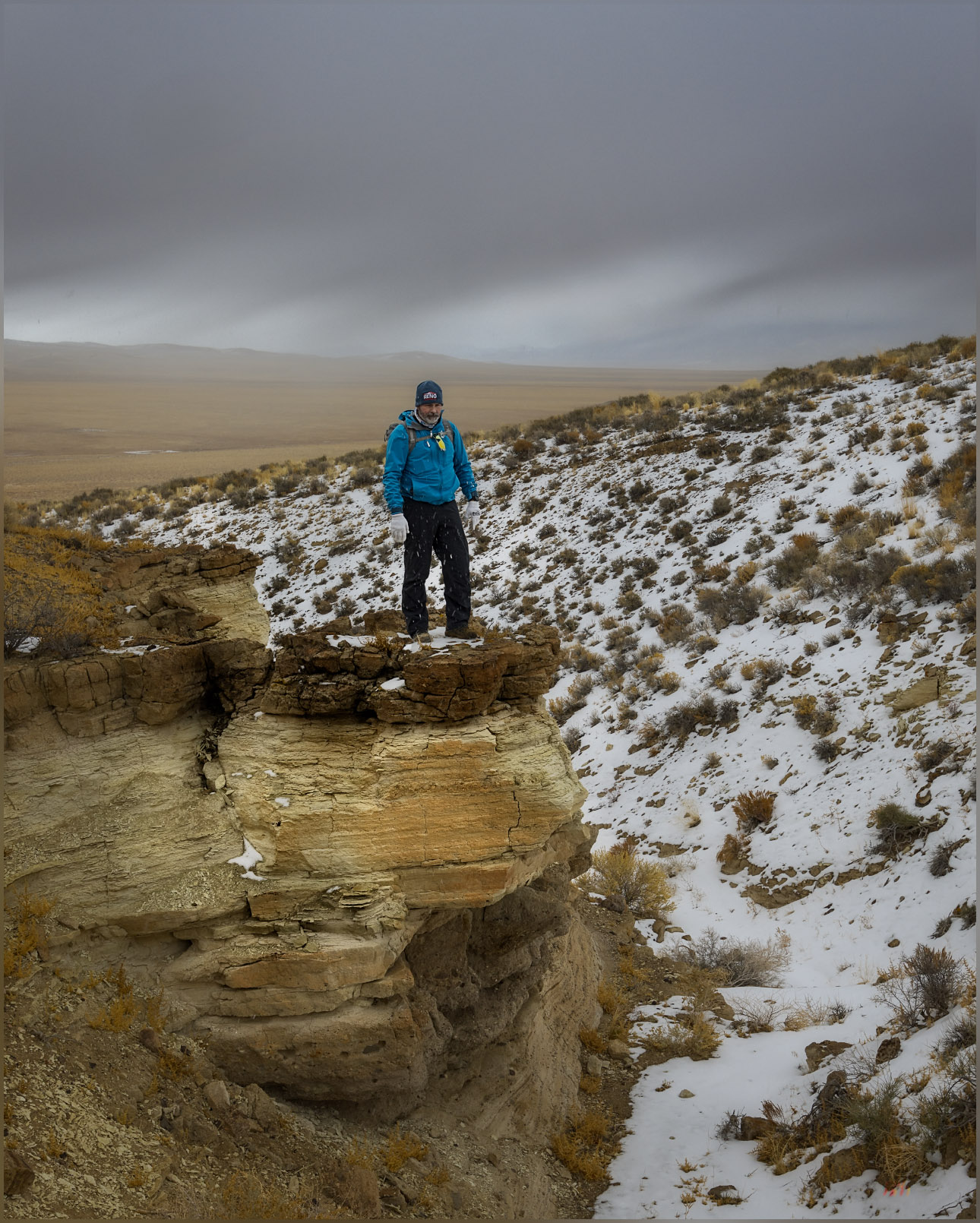
Tuffs. Cenozoic volcanic rocks of the Monitor Hills, Great Basin Desert, NV, USA
Easy summit. Darren approaches the high point, Monitor Hills, Great Basin Desert, NV, USA

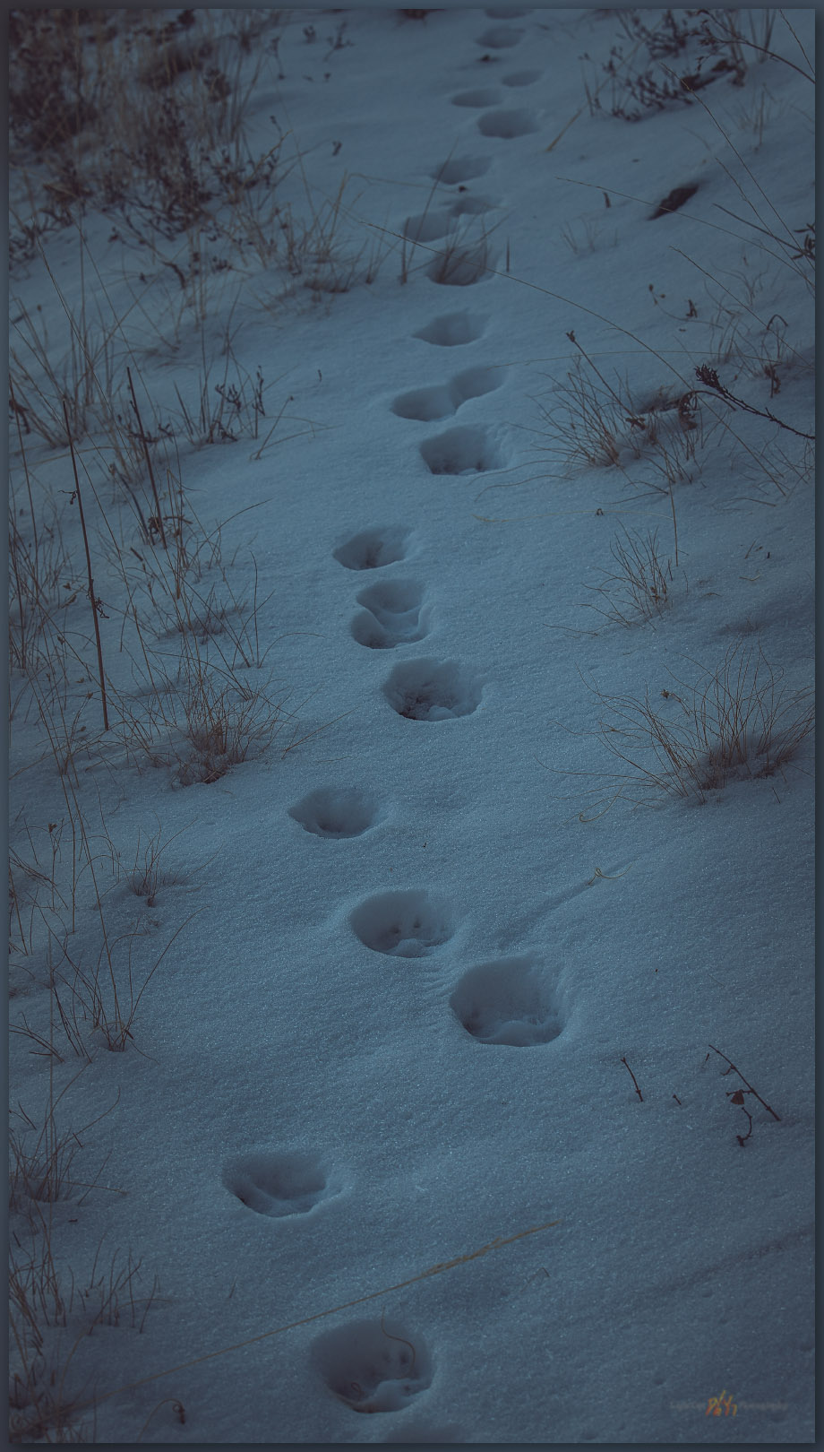
We walked across the tuffs and flows through a thin veneer of last week’s snow. Today’s precipitation would not amount to much. Bunch grasses poke through a sandy mantle, while shadscale and other small shrubs grasp to the shallow desert soil, here and there. Ground squirrels and probably a few kangaroo rats track the snow, burrow to burrow. It looks like tracks of horned larks cluster around some of the larger bushes, but I am not really sure what species might have left them, just guessing at the usual suspects given all seem to be hunkered down elsewhere.
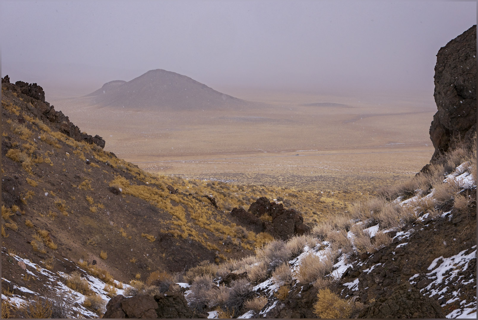
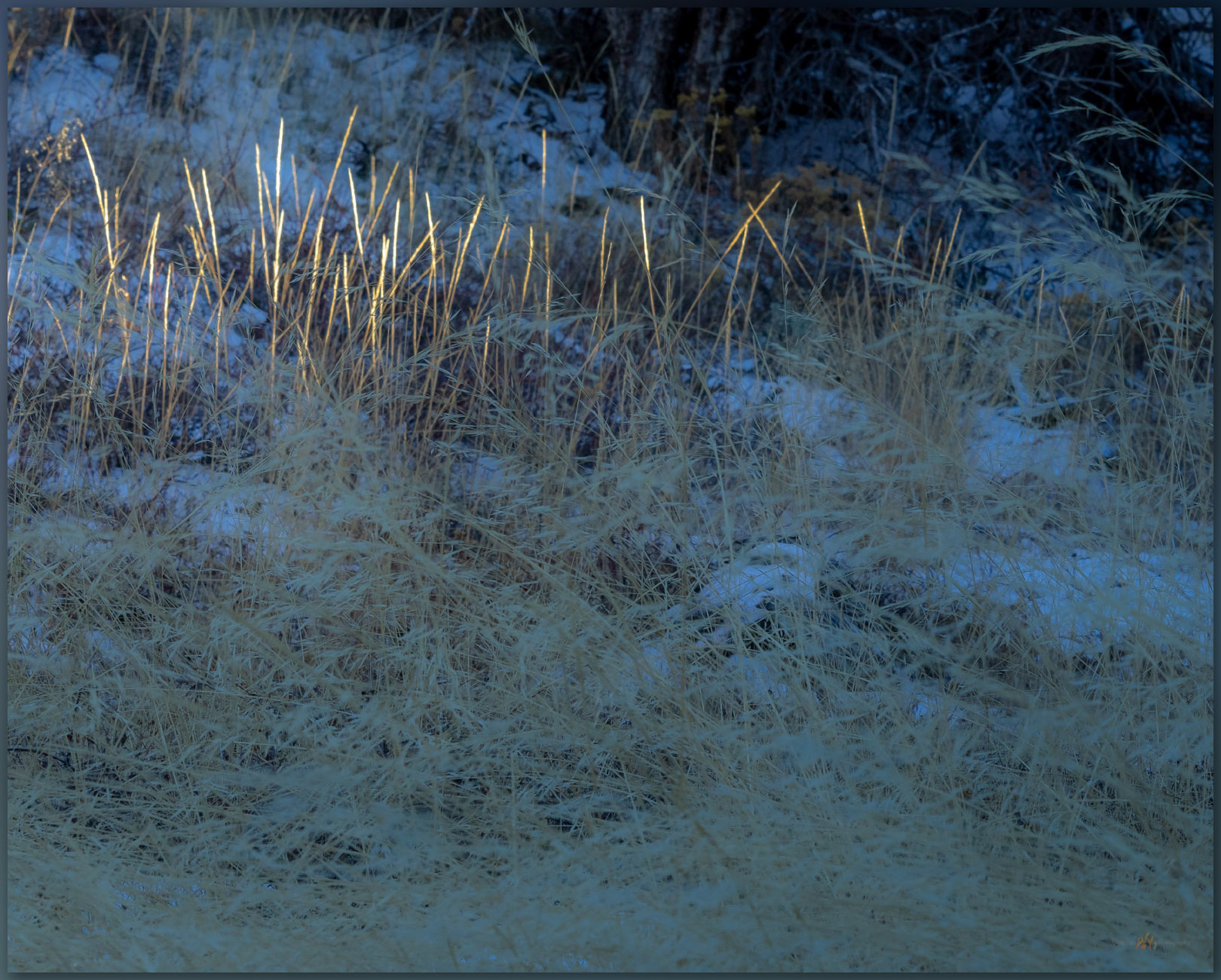
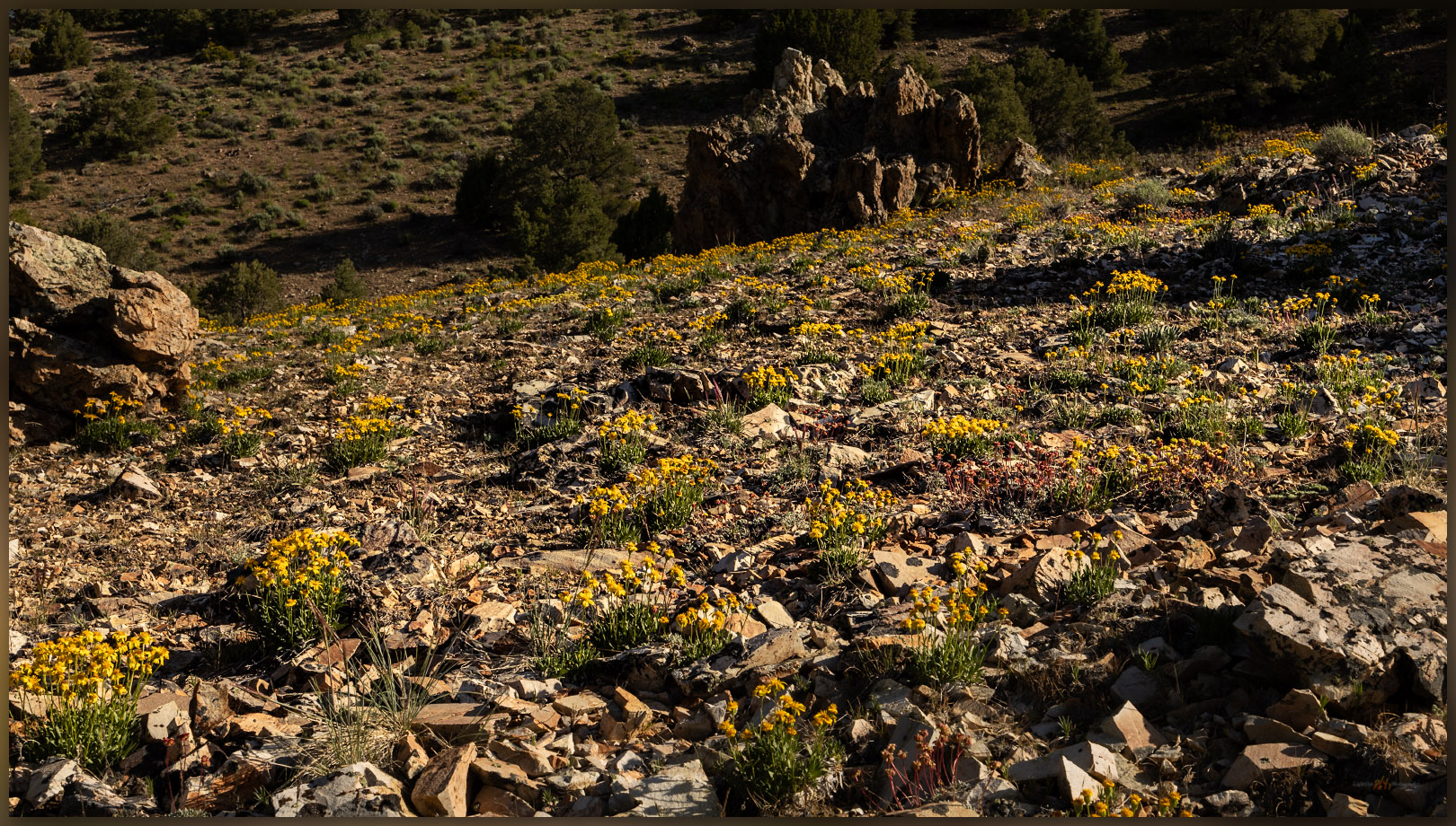
Golds of winter. Monitor Hills, Great Basin Desert, NV, USA

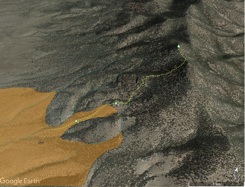
Near the base of the hills, a series of recent alluvial fans forms as sediment is intermittently eroded from the short canyons cut through relic slopes of the uplifted hills. I can map these based on cross-cutting relationships where younger fans overlap older deposits. Although we noticed minor changes early on our walk, before we reached the sand-covered tuffs and conglomerates, I mapped the young fans later using aerial imagery of Google Earth.
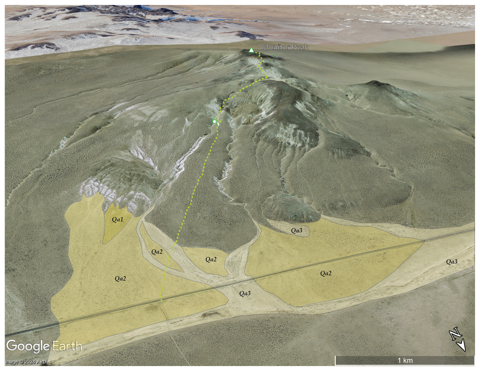
The fans and active drainages, the local alluvial system, is number 1 to 3, oldest to youngest; Qa is a common label for Quaternary alluvium, so Qa1, Qa2, and Qa3 — older fans to young fans and the active washes. I could be more or less detailed depending on the questions I might be asking or patterns I want to illustrate. Also, given that the Quaternary is basically the past 2.2 or so million years — that is a long time, including both the Pleistocene and Holocene (and maybe the Anthropocene), I typically stick with this labeling even though I am primarily focused on the Latest Pleistocene, from the last couple ice ages to the present – less than 5% of the actual Quaternary – for mapping purposes. This is the time when processes driven by climate, tectonics, and gravity established the backdrop and influencing the formation of the region’s archaeological record.

These are the silly things I think about, while trying to take a few pictures and walking in the snow. Where nothing moves but slowly falling snowflakes.

Monitor Hills Collection

And nothing moves on the road, it is only us and the snow – the snow that vanishes as we return to the truck. One intense rain squall and the skies break to scudding clouds and occasional glimpses of distant sky. The wind replaces everything – it is a long drive home. My curiosity about the road marked by the missile sated, I can look forward to another high point and, maybe, more interesting weather, like today, when the walk is easy and landscape is quiet.

Keep going.

Click to Subscribe

Please respect the natural and cultural resources of our public lands.
#naturefirst #keepgoing

Nevada High Points #116 – Monte Cristo Range

D. Craig Young · January 15, 2024 · Leave a Comment

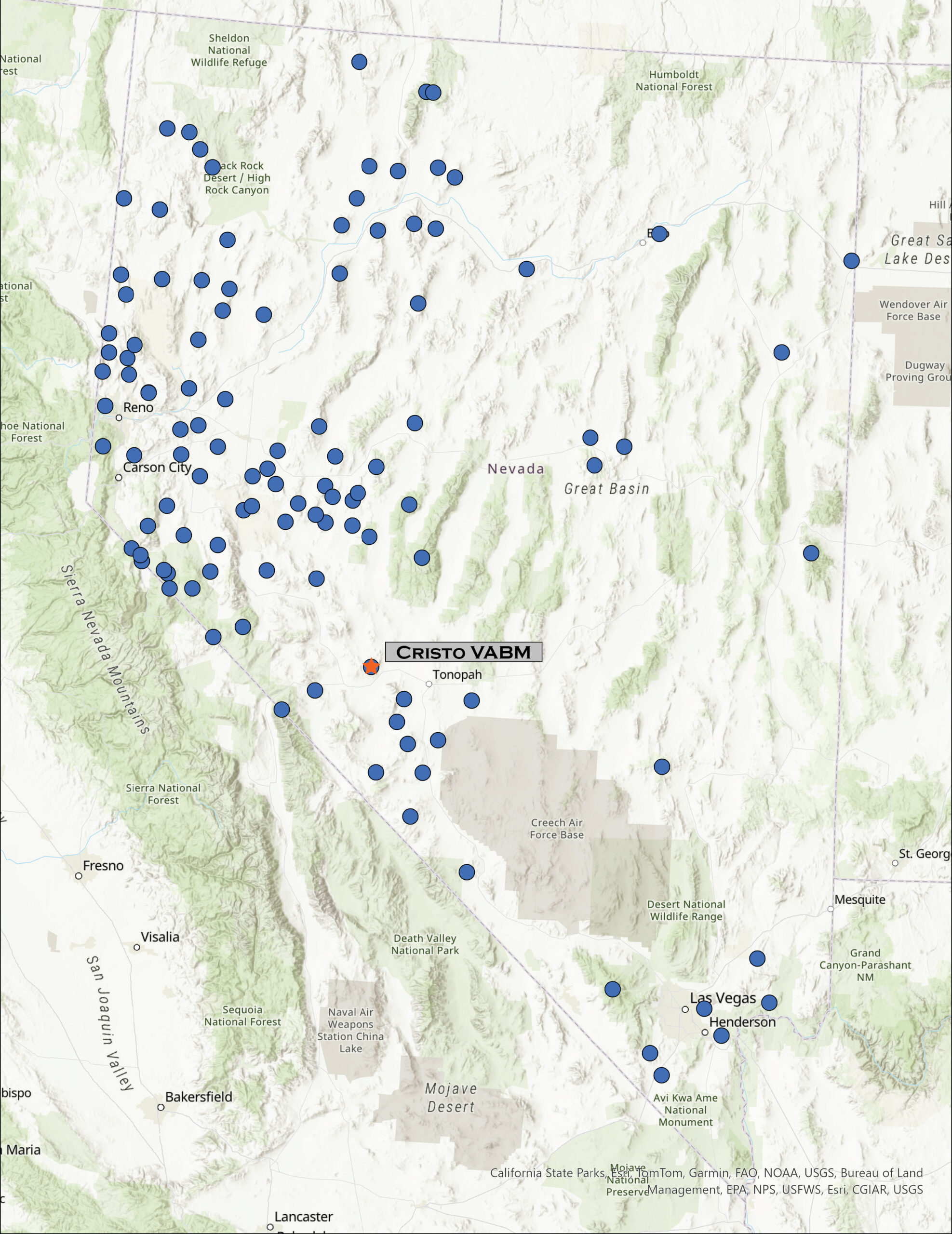
Looking west. The White Mountains of California rise beyond the Silver Peak Range west of the Monte Cristo Range, Great Basin Desert, NV, USA

Cristo VABM

7996 ft (2437 m) – 1600 ft gain

2023.12.31

Monte Cristo Collection


Headlights seem to be brighter. It is four o’clock in the morning and Highway 50 stretches out in front of me. Oddly, for a Sunday, there are several other vehicles on the road, and as I turn onto the Ramsey Cutoff, there are several cars bearing down on me, their headlights firing into the dark. Not much I can do, already certain these are the new standards and not high beams – it’s not a new thing, but for some reason it stands out in the ‘traffic’ of a dark morning, when I usually see very few other travelers.

I am dropping around the north end of the Wassuk Range, curving from Smith Valley to follow the Walker River to its terminal basin at Walker Lake, a remnant of the once vast Lake Lahontan. As the sky lightens, I can look ahead to see a long alignment of Venus, Mercury, and Mars fading quickly into the morning. There are distant clouds, low on the southern horizon, but the morning light will quickly shift to the blue sky of day – I cannot seem to time my excursions with the dramatic skies that teasingly greet each office day.

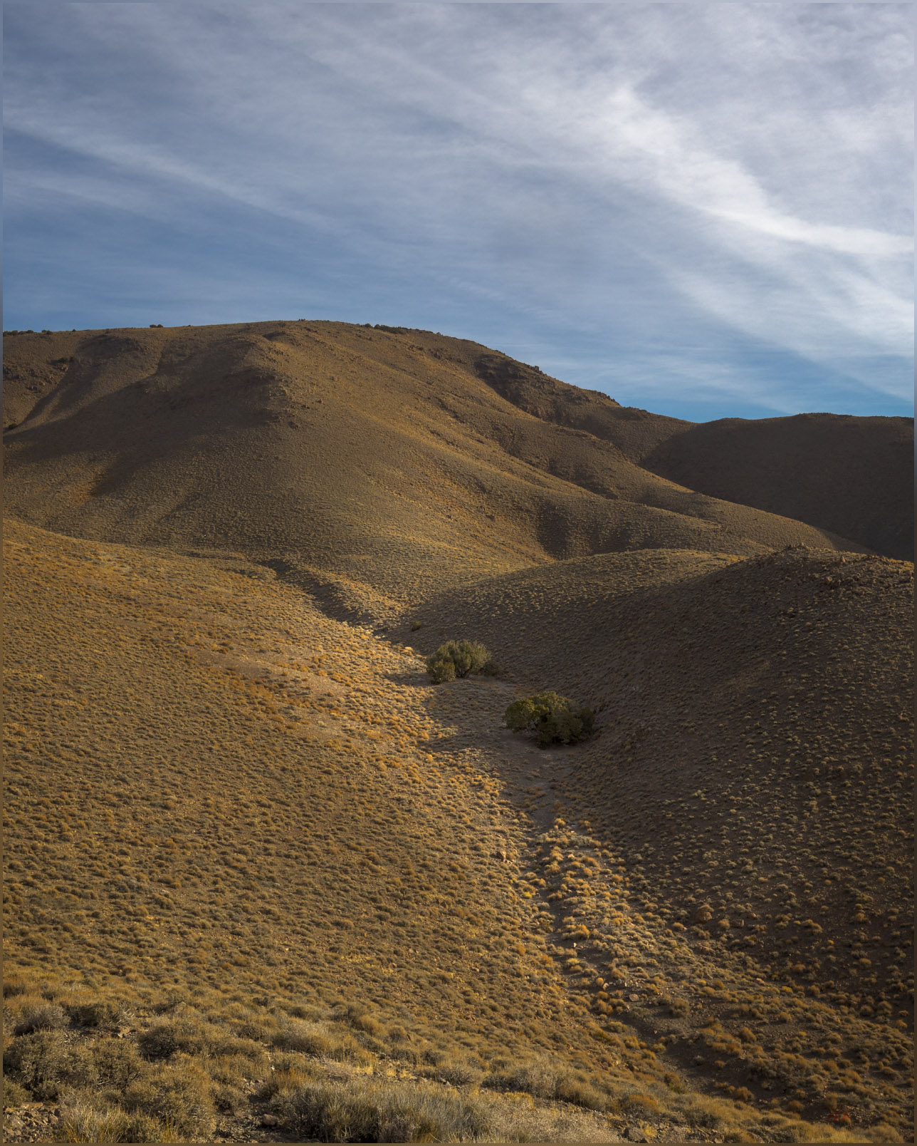
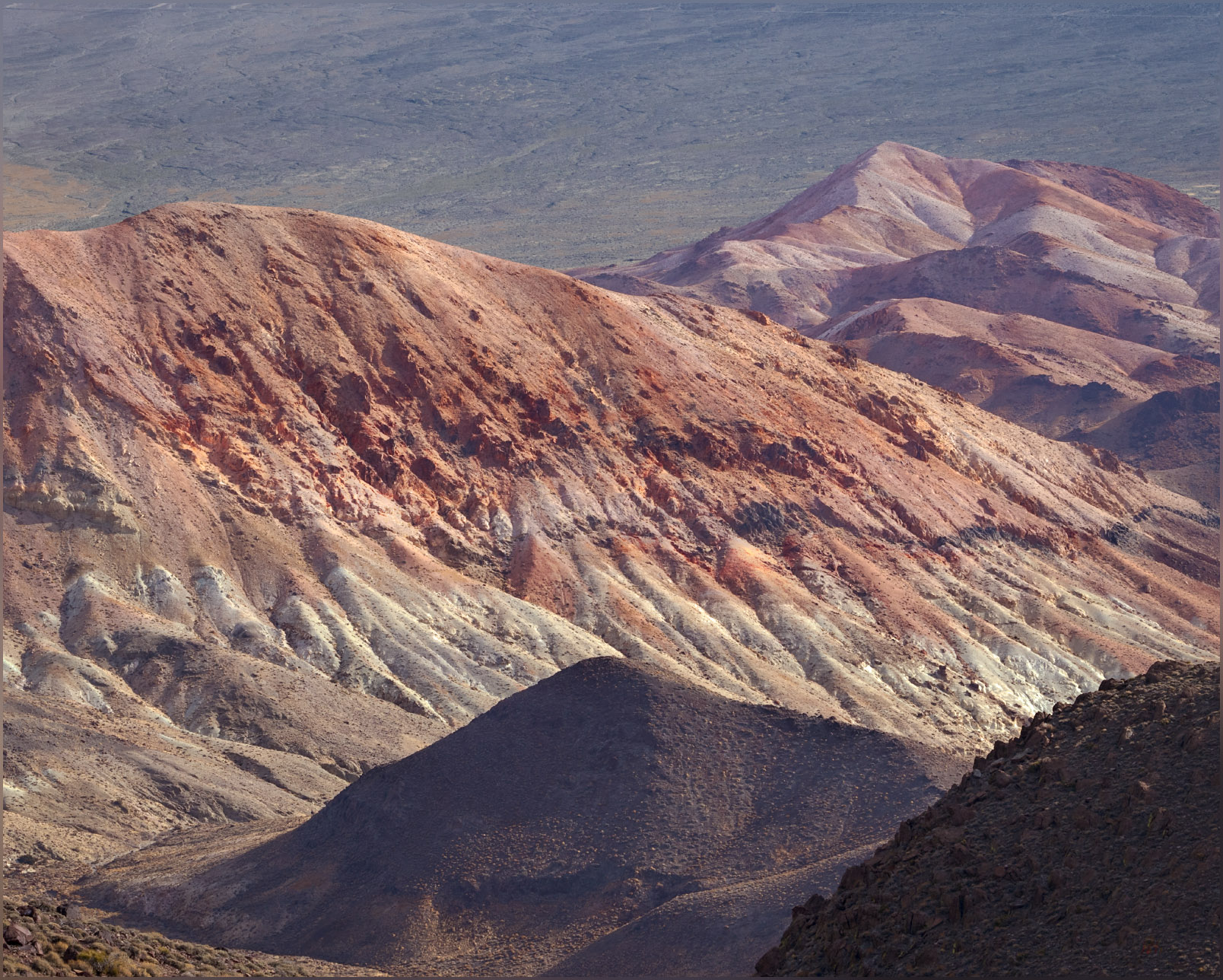
The highway quiets as I climb out of Walker Lake – this is often where the highway gets a bit busier; not today – working my way south along the Garfield Hills and then to the small enclaves of Luning and Mina. The sun is breaking above the Pilot Mountains as I pass from the Rhodes Salt Marsh to the Coaldale Marshes, now mostly broad, dry playas with local springs, relics of former oases. The Monte Cristo Range rises to the east, colorful outcrops of volcanic tuffs in the early light. I leave the highway after finding a gravel road, crispy with frost, leading north across a broad fan emanating from the low foothills at the range’s southern margin. The road has graded berms except where it drops to trace along soft washes where new sand and gravel of spring-time floods form the roadbed. It is an easy drive, except for the moments when I am heading directly into the early sun – always at a winding turn or some narrow obstacle. I am, however, soon at my planned starting point. The summit plateau of Cristo VABM rising above, about two miles distant.

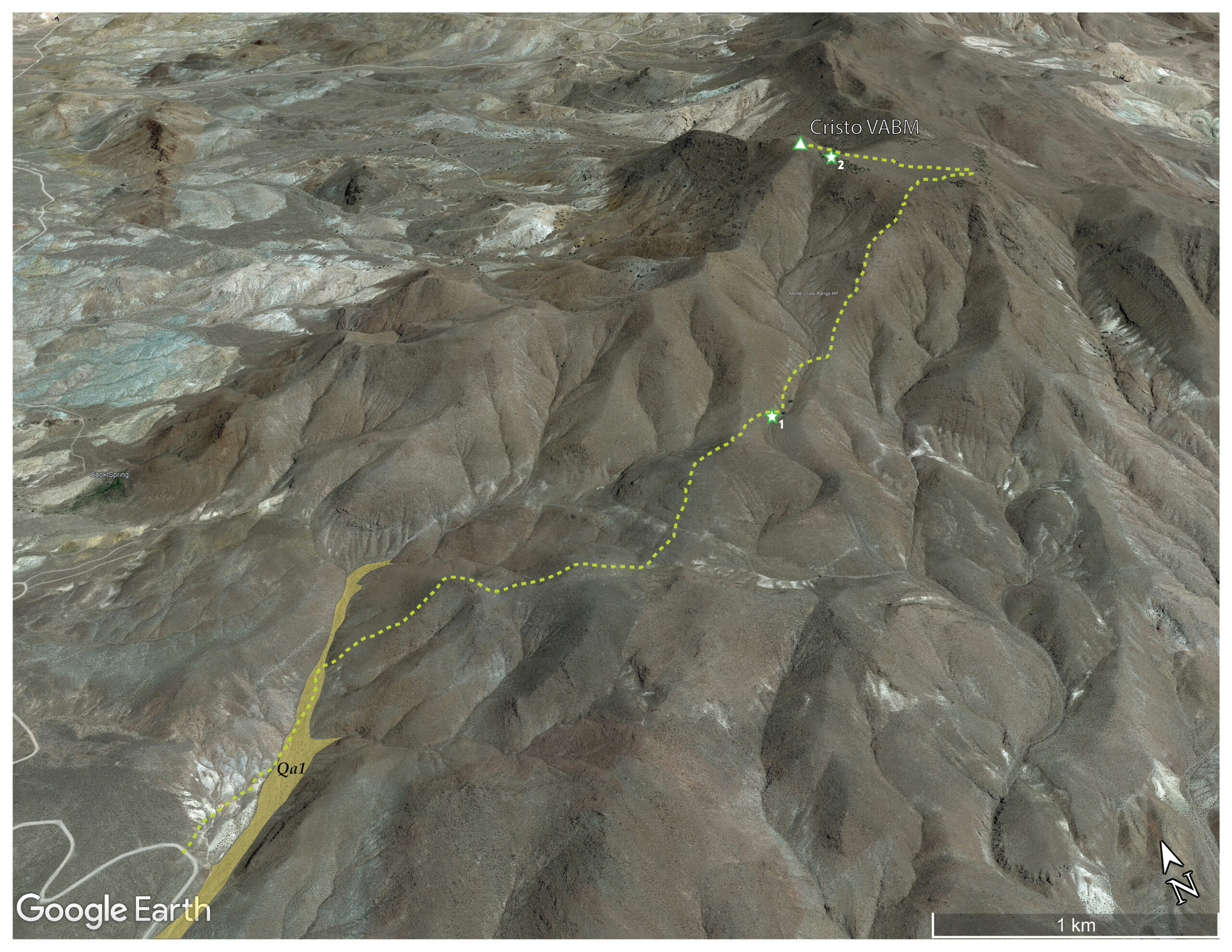
Owl trees. Utah Juniper provide roosts for Short-eared Owls wintering in the Monte Cristo Range, Great Basin Desert, NV, USA (Map point #1)

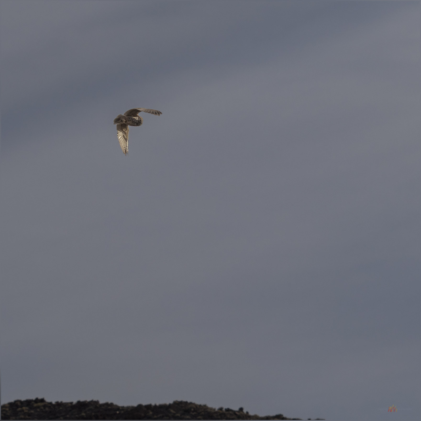
It is an easy hike up a narrow floodplain, the only mappable landform of recent formation and age (Qa1; <25,000 years or so) that I traverse today, then onto some moderately steep slopes. An intervening gully harbors a pair of juniper trees that catch my eye. I try to work some photos of them, moving in to look at the shapes among the low branches and gnarled bark, but sadly I flush a pair of Short-eared Owls from their daytime roosts. They are wonderful to see, but I do not wish to disturb them, and I hope they can settle back as I depart upwards. I only catch a glimpse as they swoop quietly away and over the adjacent ridge.

Away. A Short-eared Owl retreats at my approach, Monte Cristo Range, Great Basin Desert, NV, USA
Red hills. Volcanic tuffs and minor lavas decorate the hills on the eastern margin of the Monte Cristo Range, Great Basin Desert, NV, USA

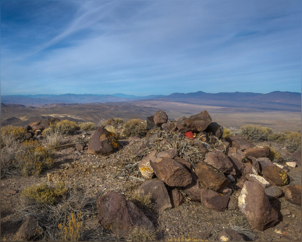
Approaching the summit plateau, I stop to check my map; is the Cristo VABM at the north or south end of the generally flat-looking landform above me. When I look up, there is a bighorn sheep, visible as only the curl of his horns and an inquisitive nod, and then he is gone. I follow as quietly as possible, ignoring the actual highpoint as I look among the small juniper bunches and surrounding boulders, checking each slope below where he had clearly retreated. But he blends in and away, and I never catch another glimpse. A hopeful and enjoyable half hour, with my camera ready, I eventually make my way to the summit cairn, working through the ragged but hardy pygmy woodland of weathered Utah Juniper to the exposed summit cairn and register.

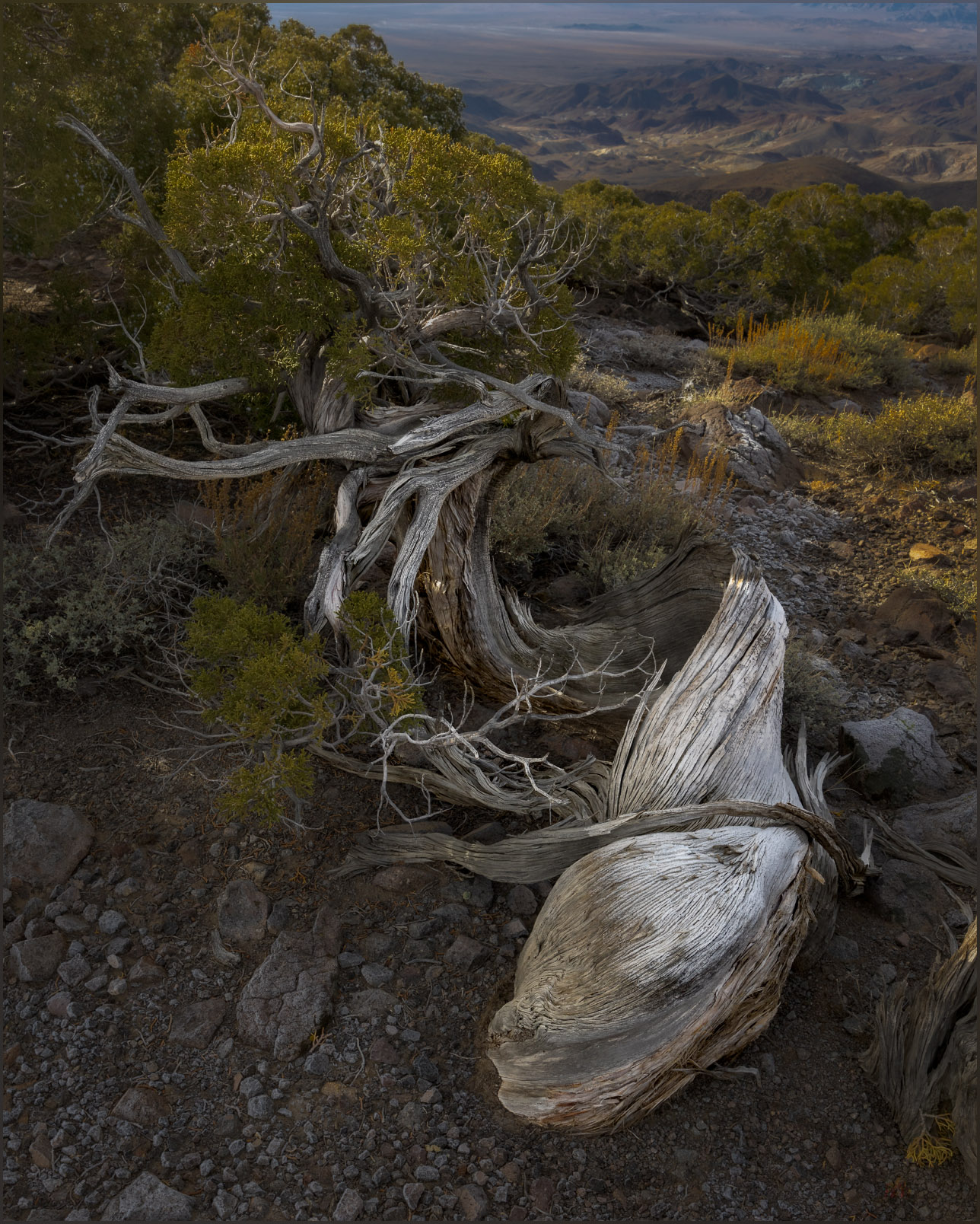
Relinquish. A Utah Juniper hangs onto the summit ridge of the Monte Cristo Range, Great Basin Desert, NV, USA (Map point #2)
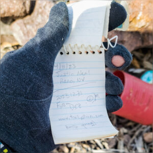
Red register. Cristo VABM, the summit of the Monte Cristo Range, Great Basin Desert, NV, USA
Register.

The summit views are the typical splendor; something that is never lost on me. The White Mountains of California on the western horizon, their northern tip sticking into Nevada as the pinnacle of Boundary Peak. Desert mountains surround me, some I have visited while others remain targets for future excursions. I can look down on the historic location of Gilbert with its few mining relics dotted among myriad tracks and trails – and a misplaced, modern trailer or something.

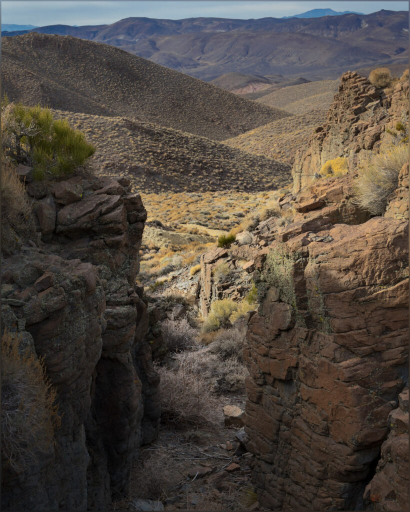
Gates. Drainages originate in steep steps of welded tuffs below the summit of the Monte Cristo Range, Great Basin Desert, NV, USA

Monte Cristo Collection

It is the last day of 2023. I managed to visit ten highpoints this year, not the one-a-month I plan for, but still a fortunate series of excursions, maps, images, and stories. The mountains and hills, large and small, continue to amaze and attract me. I cannot explain the traffic of the early morning, but it was an easy escape, on some dirt and a game-trail, to the quiet of the mountains to close out the year. My apologies to the owls, whom I disturbed from their rest. I will remember to approach softly next time; I should assume an isolated stand would hold an otherwise safe roost. Pardon my interruption — it is the same restful quiet I seek in the desert enclaves of unnamed canyons and their tributaries.

Keep going.

Click to subscribe!

Please respect the natural and cultural resources of our public lands.
#naturefirst #keepgoing

Nevada High Points #115 – Mountain Boy Range

D. Craig Young · January 12, 2024 · Leave a Comment

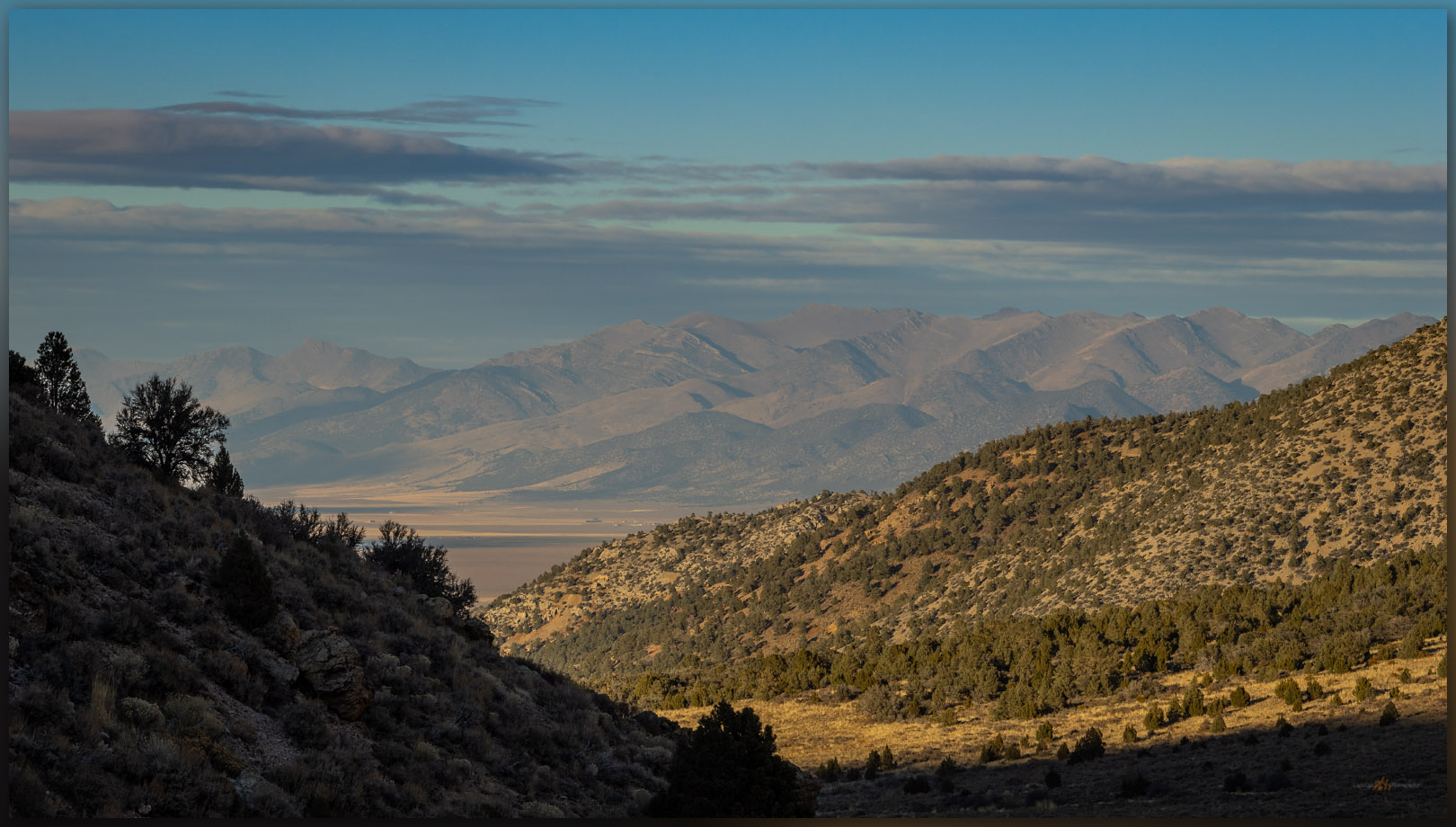
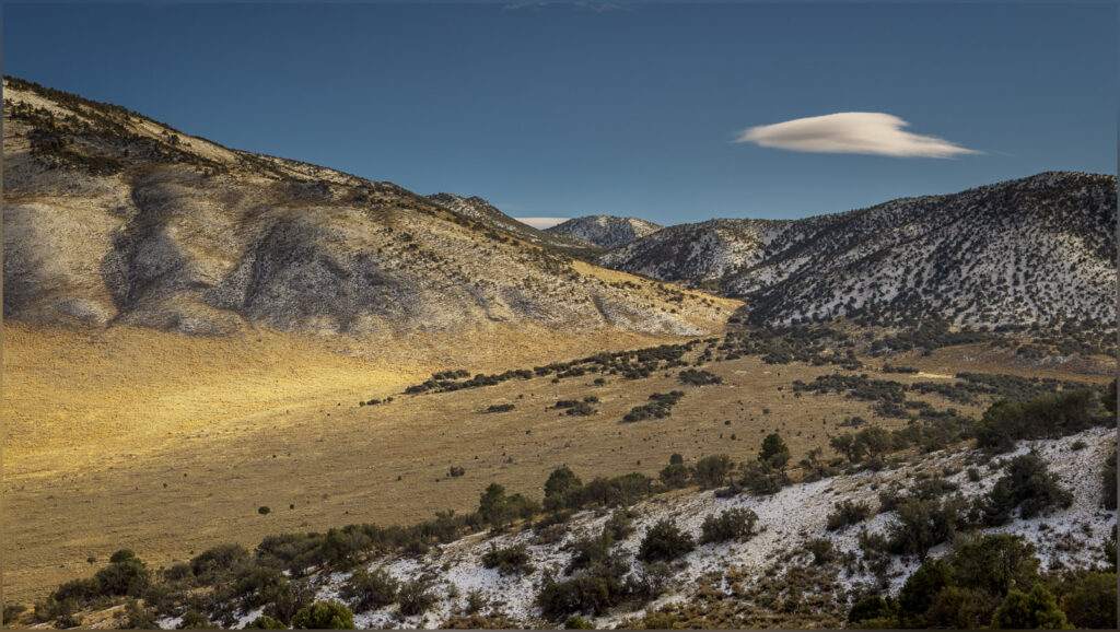
Below Mountain Boy. Looking into Diamond Valley from the slopes of the Mountain Boy Range, Great Basin Desert, NV, USA

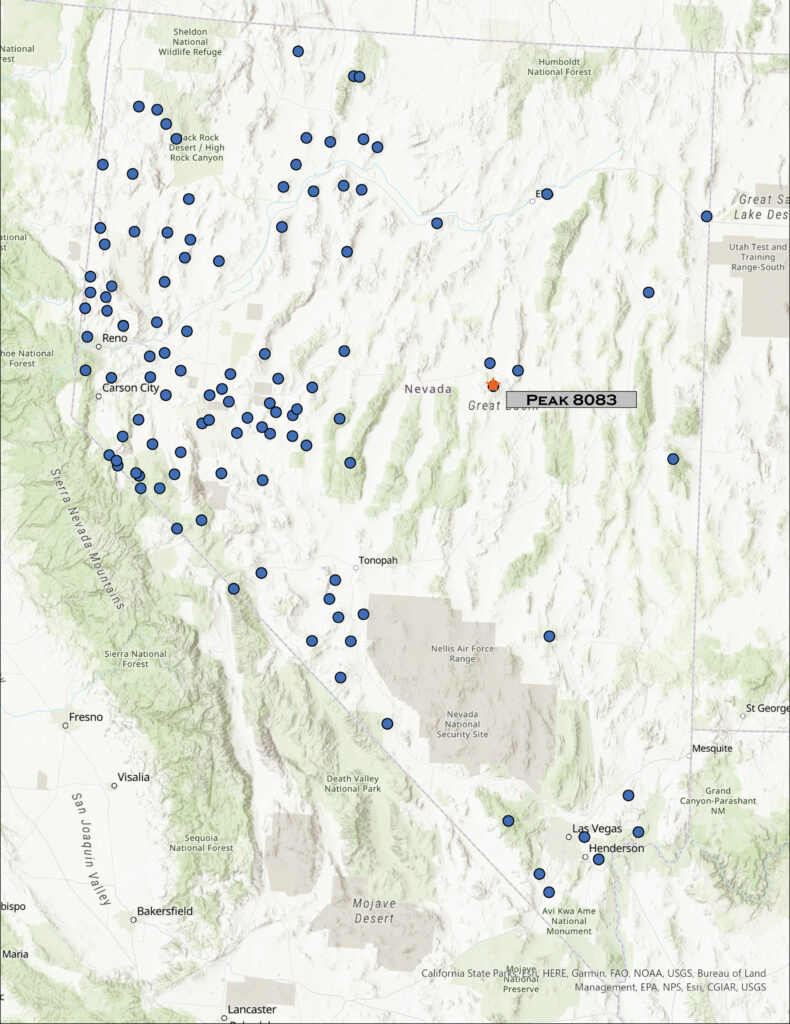
Peak 8083

8083 ft (2464 m) – 804 ft gain

2023.11.09

Mountain Boy Collection


Following several days of landform reconnaissance along Highway 50, across central Nevada, I met Darren in Austin, Nevada, where he had been working with a crew recording archaeological sites in the Toiyabe Range. It was the end of a working field rotation, but we decided to take advantage of Second Friday, heading toward the Mountain Boy Range near Eureka. We skirted along the northern and eastern margins of the range on a well-used dirt road through Spring Canyon. This leads to the eastern arm of Spring Valley, tributary to Diamond Valley to the north, below the Mountain Boy Range and the much more prominent Fish Creek Range – I look forward to climbing to its high point at Prospect Peak.

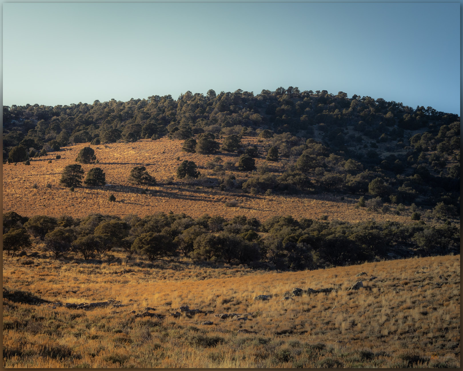
Gentle summit. It is an easy gradient toward the high point of the Mountain Boy Range, Great Basin Desert, NV, USA

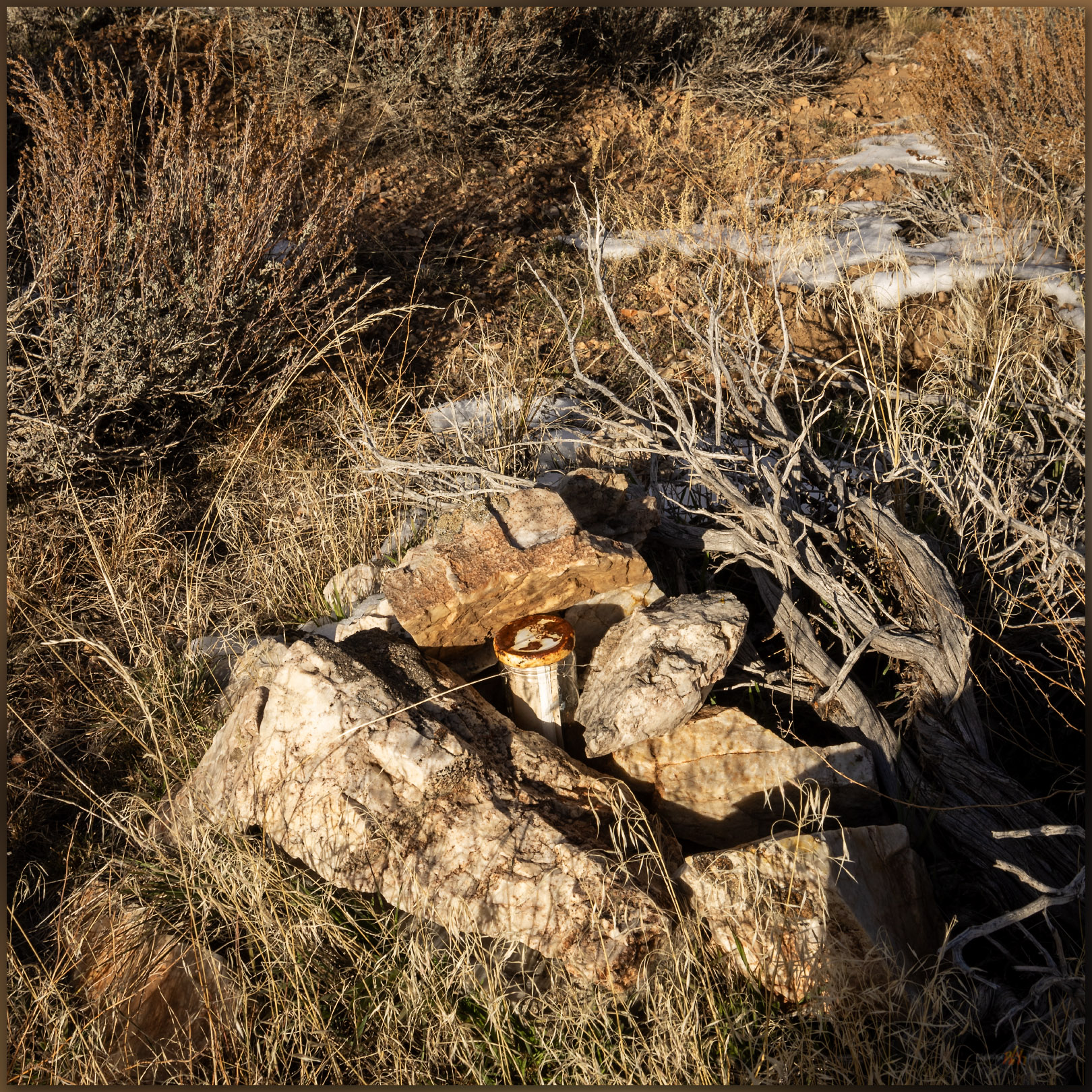
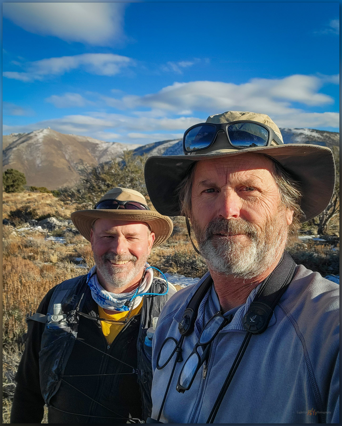
We walked the road for a while before turning uphill to the north. It is an easy wander through pinyon-juniper woodland, skirting new snow, to the broad summit at Peak 8083. Spanish Peak looks nice to east and it is a more well-defined ‘peak, but it is lower than the rocky plateau where the ‘peak’ of Peak 8083 is a misnomer. Moving back and forth from rock to rock, hummock to hummock, we had to search for the small cairn that held the summit register. Still, it was nice to be at altitude and get a walk in, once again, with Darren.

Mountain Boy register. The summit register rests in a low cairn marking the broad high point of the Mountain Boy Range, Great Basin Desert, NV, USA
Light tips. Last light in a canyon of the Mountain Boy Range, Great Basin Desert, NV, USA
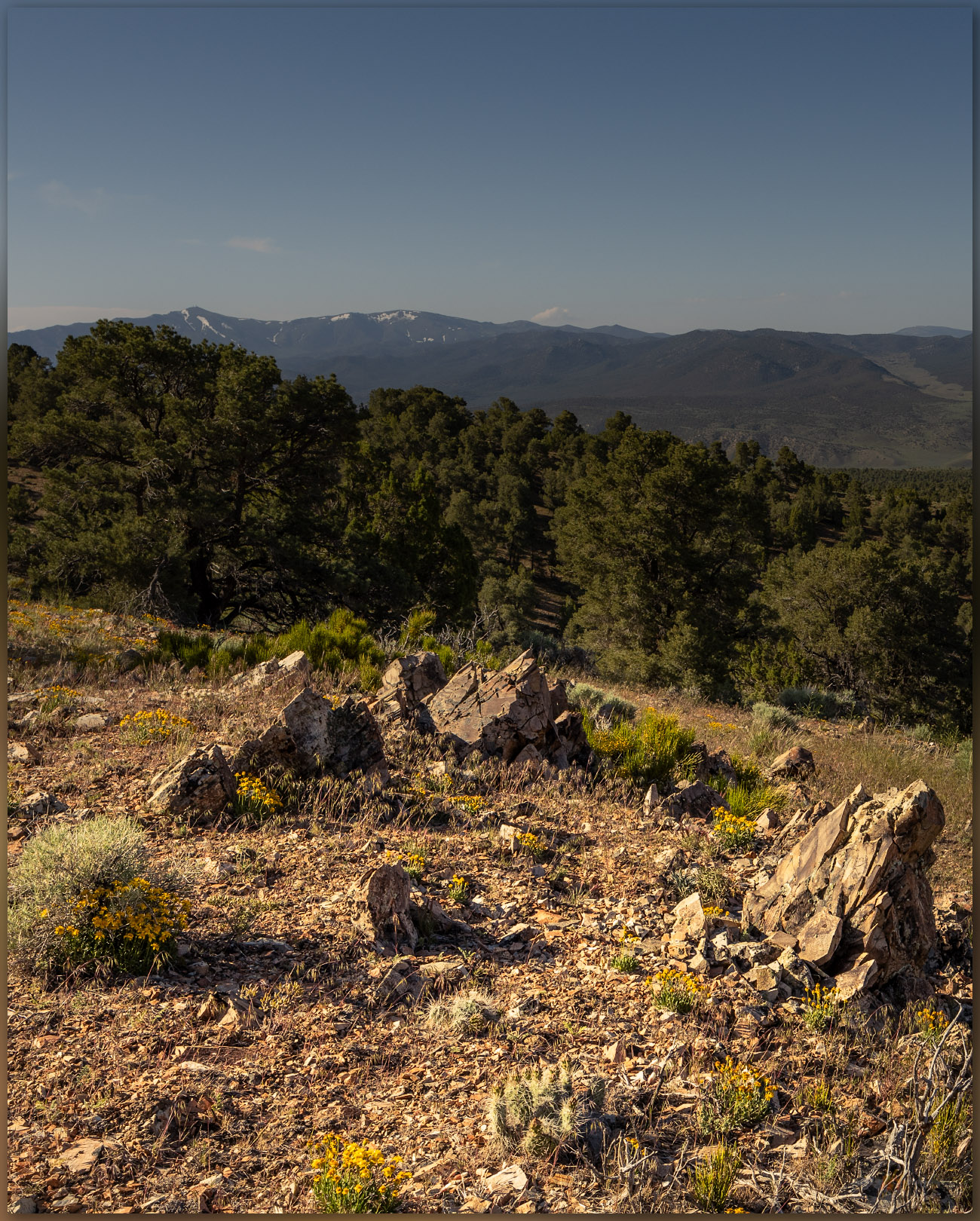
Tracking away. A coyote traverses away from the summit of the Mountain Boy Range, Great Basin Desert, NV, USA
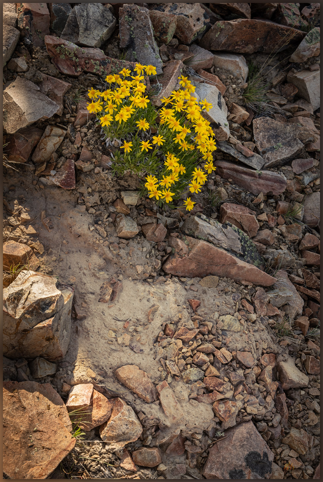
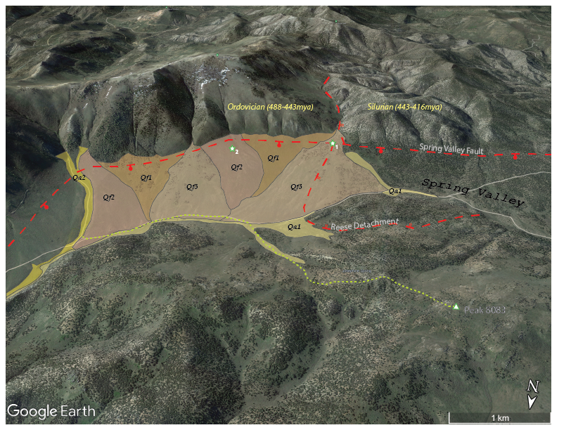
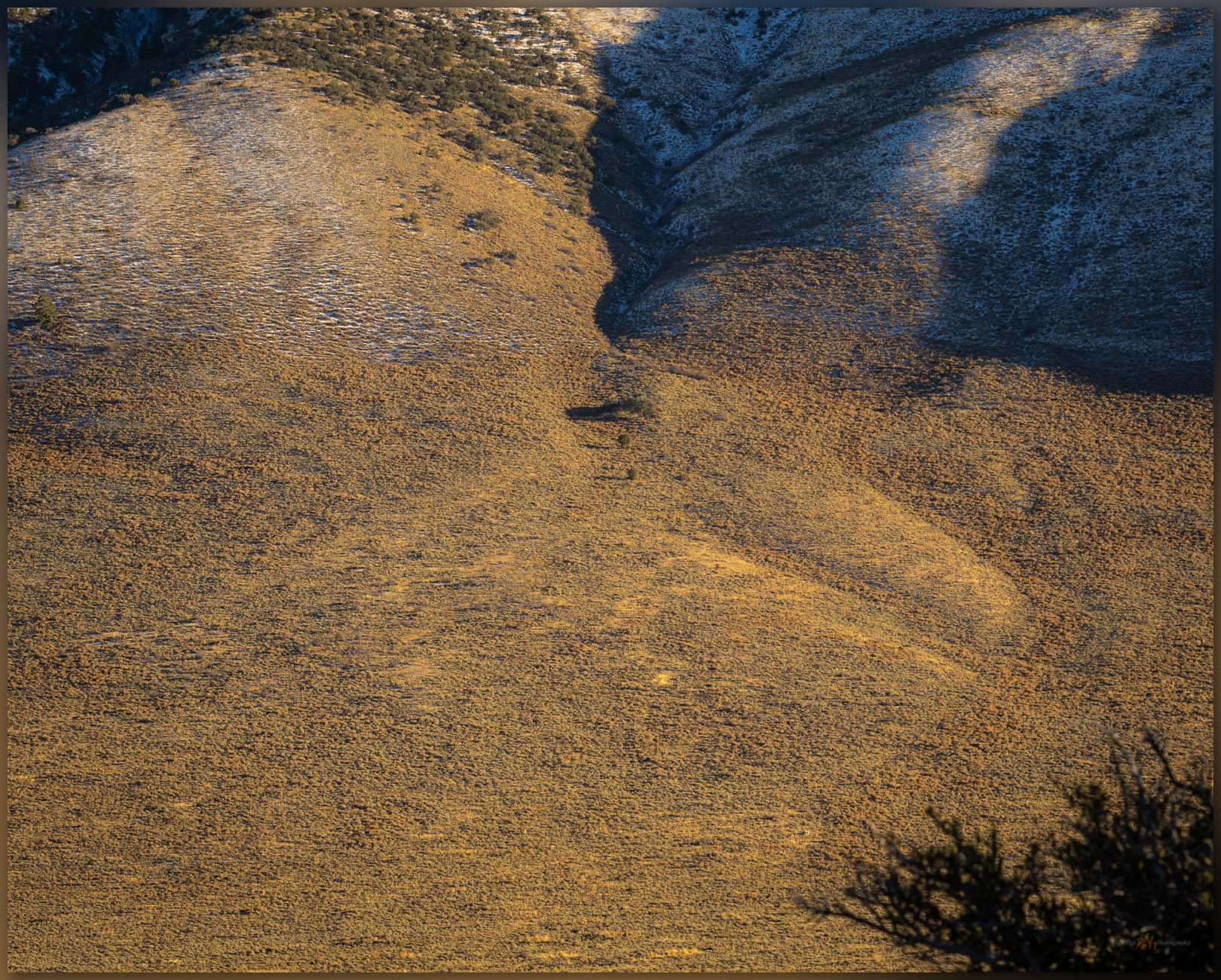
On the way down the south-facing slopes, after tracking through some snow patches following a coyote, I focused on the broad set of alluvial fans emanating from the Fish Creek Range. There is a lot going on there. I easily recognized a series of overlapping alluvial fans, their cross-cutting relationships clear in the contrast of golden-hour light; these would make a nice map. There are at least three ages of fan development along the mountain front. The oldest ones (Qf1) are generally smooth with younger fans truncating their ends, the youngest (Qf3) have rough surfaces formed of convex debris flows and intervening rills. Active drainages (Qa2 and Qa1) combine along the ends of the fans to direct runoff into Spring Canyon and on to Diamond Valley.  

Quaternary landform map of eastern Spring Valley at Peak 8083, Mountain Boy Range, Nevada
Intersections. The Spring Valley fault intersects the Reese Detachment fault, now buried by an alluvial fan in upper Spring Valley, Great Basin Desert, NV, USA (Map Point #1)

The fans originate at the foot of the mountain front where a typical normal fault – the Spring Valley fault – forms the valley footwall with the hillslope headwall lifting upward. But from the Mountain Boy Range, a unique break is evident in the rocks of the Fish Creek Range. The west ridge of Prospect Peak – toward White Mountain and beyond – is broken by a gradual, low-angle detachment fault formed as the regional mountain blocks tilt and drop in the long-term expansion of the Basin and Range Province. This is the Reese Detachment where Silurian (443 to 416 million years ago) limestones lay against Ordovician (488 to 443 million years ago) limestones and quartzites, the way books slide and fall as bookends are removed. It is a subtle change, as detachment faults are not typically as dramatic as the steeper normal faults that jump along the valley margins, but the change in rocks is very clear, here forming a small reentrant canyon where one of the younger alluvial fans begins. The rocks of the mountain are very old (100s millions), the Reese detachment is old (10s of millions), the Spring Valley fault is young (a few million), and the fans are younger still (10s of thousands to today). It is a fascinating picture, time holding still (at the day’s scale), evident on a simple walk traversing from an unobtrusive high point to an axial valley, watching the opposite hills rising to a mosaic of landforms and rock units.

Upland valley fans. Alluvial bajada below the ridges of Prospect Peak in the Fish Creek Range. Opposite the Mountain Boy Range, Great Basin Desert, NV, USA
Last fan. Sediment responds to change in slope below the Mountain Boy Range, Great Basin Desert, NV, USA (Map Point #2)

Mountain Boy Collection

Although I recognized the alluvium of the valley margin as we walked, the bigger picture of time and space only opened to me as I looked into a set of maps to see where we had been. I had slowed to take photographs along the way, pointing my camera at patterns that caught my eye. The mountains are wonderfully colorful, but they became even more wonderful as I pieced together the puzzle collected in the regional maps of the USGS. This is yet another way that the landscape shares its wonder, even when the ‘high point’ of a small group of hills is neither as prominent nor as dramatic as its neighbors. Our curiosity pays off once again.

Keep going.

Brothers. A good walk in the hills of the Mountain Boy Range, Great Basin Desert, NV, USA

Nevada High Points #114 – Martin Creek Mountains

D. Craig Young · January 7, 2024 · Leave a Comment

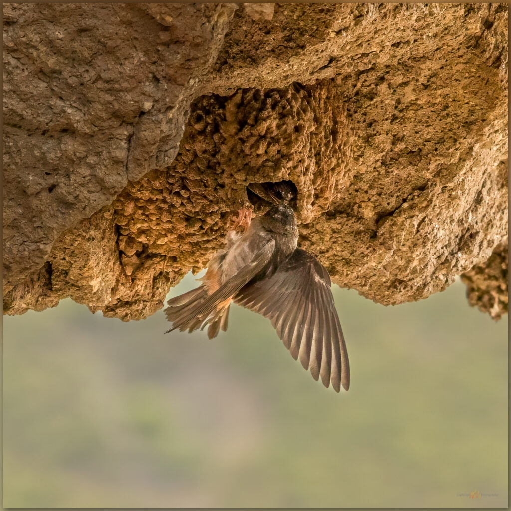
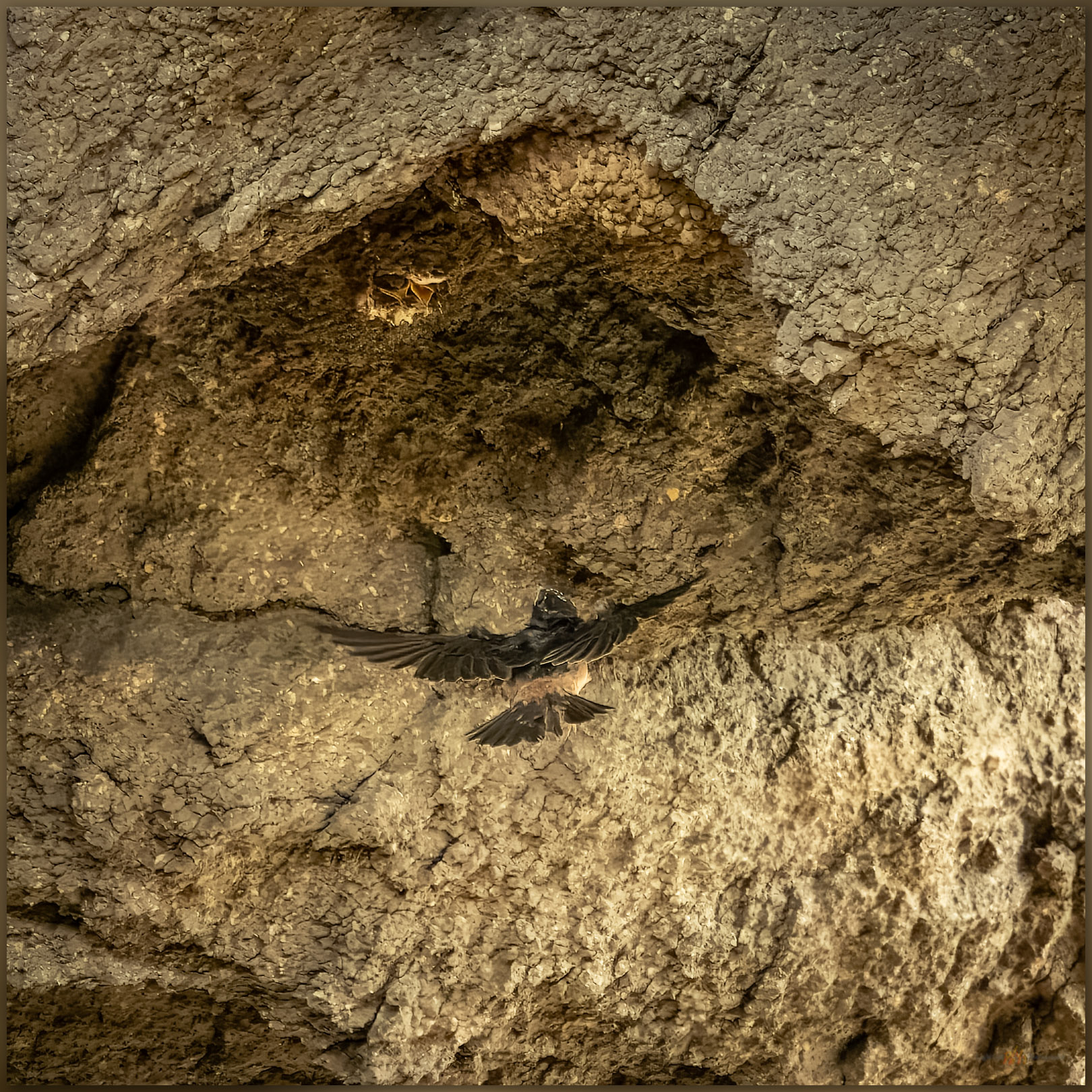
Feeding. A Cliff Swallow supplies the nestling in Hinkey Arch, Martin Creek Mountains, Great Basin Desert, NV, USA

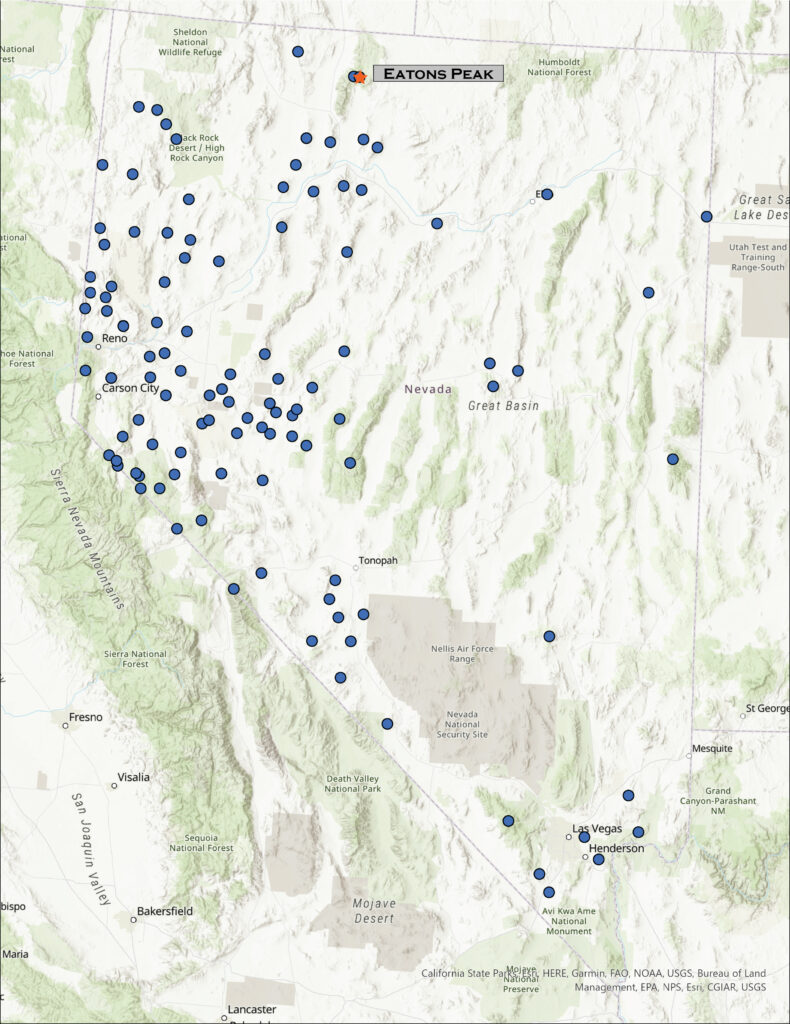
Eatons Peak

8560 ft (2609 m) – 940 ft gain

2023.08.14

Martin Creek Collection


While returning from meeting with the tribal council of the McDermitt Paiute and Shoshone, after presenting some recent project results, a colleague and I decided to turn into the northern Santa Rose Mountains to find the small range known as the Martin Creek Mountains. These form a low ridge that extends from the Santa Rosas, east of Hinkey Summit at the northern end of Paradise Valley. I have been at Hinkey Pass many times, looking into the Martin Creek Mountains but not realizing or remembering this small range was on my list. Erik and I approached from the north on the Buckskin Road, a bit mesmerized by riparian productivity we had not experienced in ranges to the west – the prominence of the Santa Rosas has an orographic pull on the limited annual moisture reaching into this area of the northern Great Basin.

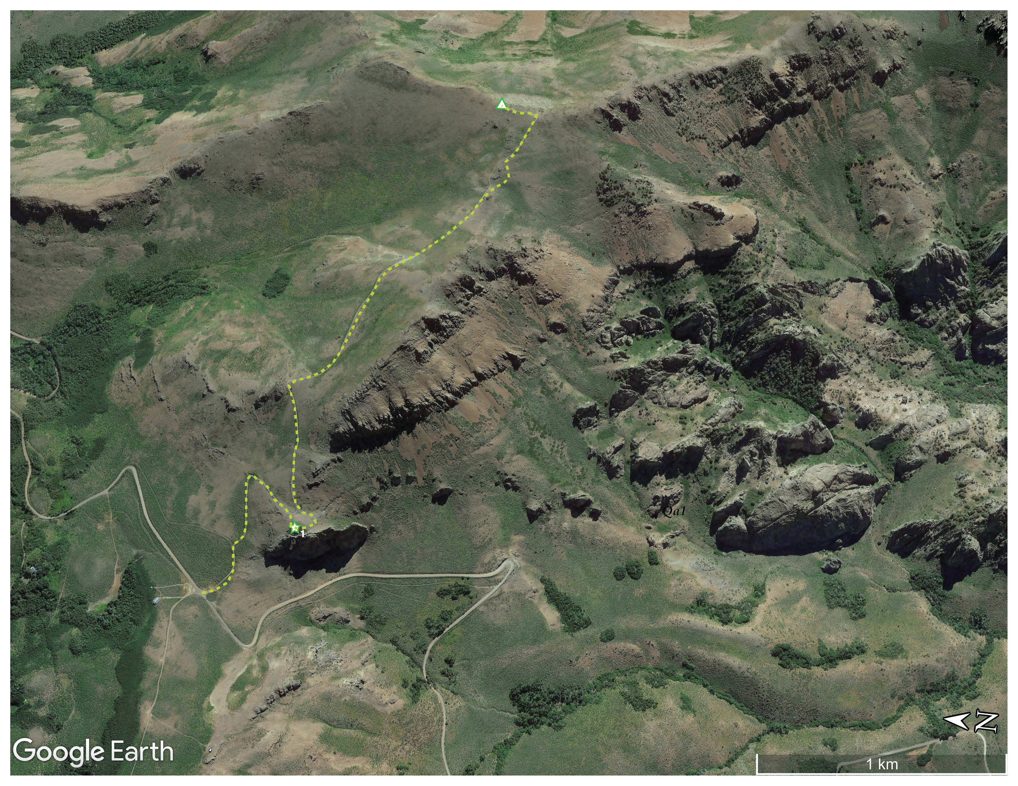
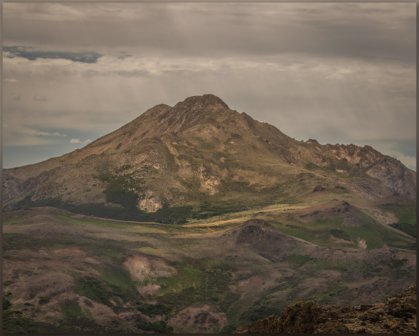
We stopped at Hinkey Summit where a two-track splits east to Eatons Peak, where a communications box marks the high point. I started from this same spot when I visited Granite Peak (HP #33), the highpoint of the Santa Rosas at almost 10,000 feet, in October of 2001, wandering up the ridges to the west. The trail to Eatons Peak is not long and not particularly interesting, but the views are expansive and worth the short hike.

Granite Peak. The high point of the Santa Rosa Range across Hinkey Pass; climbed in 2001. From the Martin Creek Mountains, Great Basin Desert, NV, USA

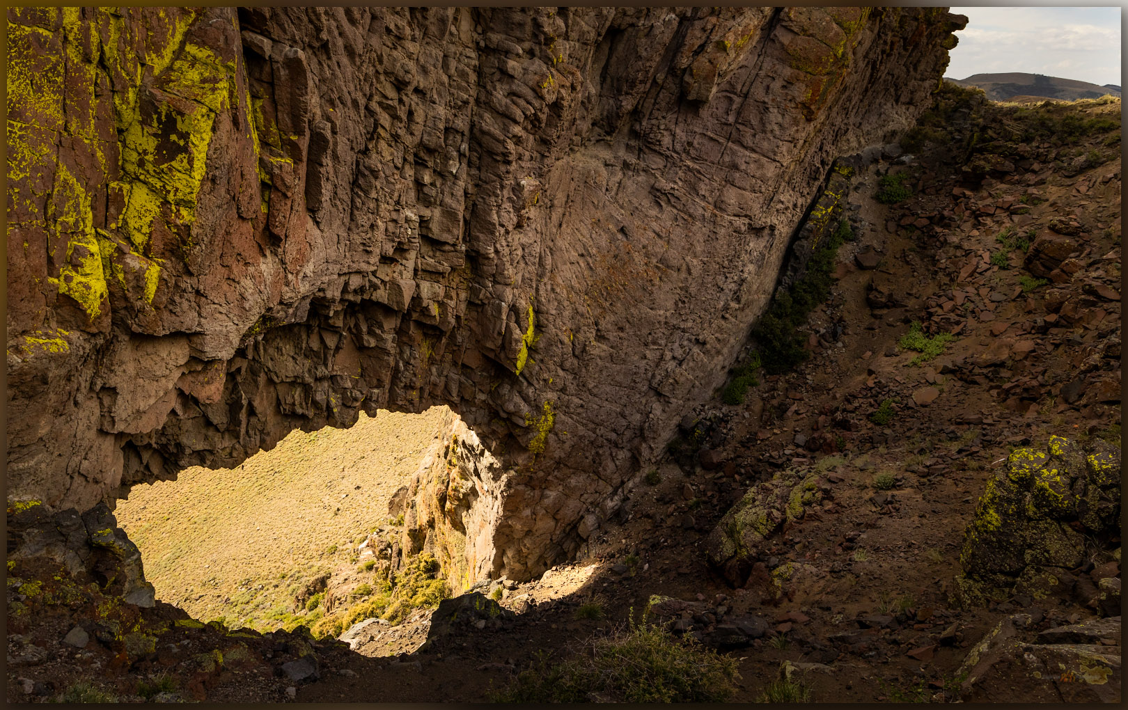
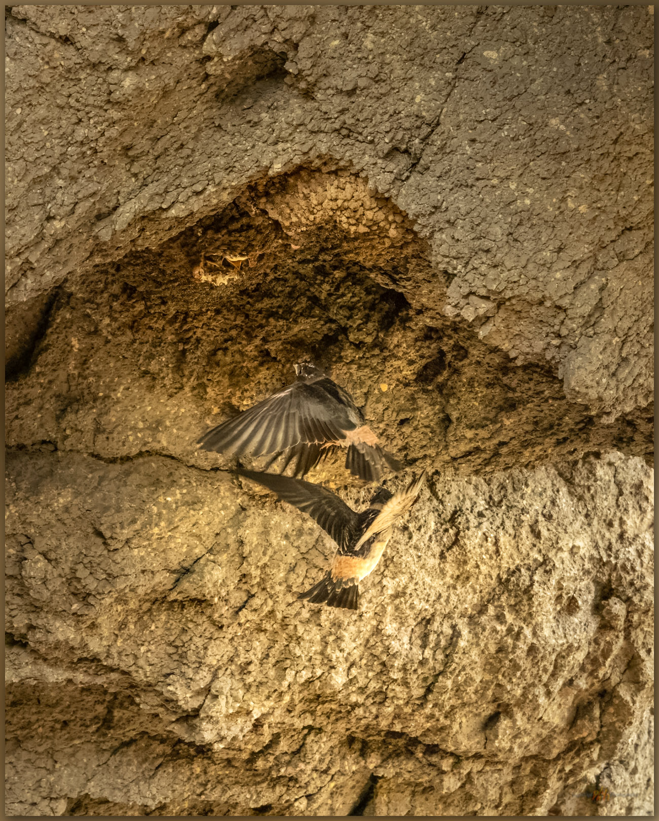
Walking upward, we encounter a surprising arch. From the east, one looks downward, steeply, through the throat of the arch, which funnels colluvium of talus boulders into a prominent apron leading to the Hinkey Summit road. I must have seen this on every previous trip into the Santa Rosas, but it is fun to have approached from the north – I almost always came from the south where the arch is obvious – and to have my memory restored by walking up on its obscured, eastern side; obscured, that is, until the slope suddenly drops away into the gullet of the opening, only a winding road visible through its window. Cliff swallows pass acrobatically through the arch, guided to their hanging nests by much clearer memories and the calls of hungry chicks.

Hinkey arch. The ground drops away on the western ridge of the Martin Creek Mountains, Great Basin Desert, NV, USA (Map Point #1)

We leave the road to wander the outcrops forming the ridge to the summit. The sky is a treat today and there is dust in the air, so photography is interesting and fun. We are at the summit register easily, it is only a small cairn next to the communications box. A trail east catches my attention, and I can see that this could lead into some interesting country on its way to Martin Creek, the namesake drainage that bounds the ranges east side. There are several other small ranges to walk in this area, so I am hopeful that this trail hints at others further east. Again, I forget how interesting the hills rising from Paradise Valley are, even as I lived in Winnemucca once-upon-a-time and not so far away.

Follow me. Trails lead from the low summit of the Martin Creek Mountains, Great Basin Desert, NV, USA
Volcanic edge. Outcrops of rhyolitic tuff in the Martin Creek Mountains, Great Basin Desert, NV, USA
Erik Martin in the Martin Creek Mountains, Great Basin Desert, NV, USA

The volcanic rocks of the Martin Creek Mountains are fractured and peeling away from the rising pluton that forms the Santa Rosas to the west – these are remnants of the volcanic blanket of lavas and tuffs that extruded from vast calderas that rose and collapsed in the eruptive turmoil of the middle Miocene, some 15 to 20 million years ago, in this area of ancient Nevada. The lichen-coated volcanics drop to a fractured landscape, probably remnants of caldera margins, that seem to hide green vales and woodlands, the dust and light playing tricks on the scale of the rugged landscape. Our route lacks mappable landforms of recent process other than the colluvium of talus that forms a common surface veneer; some of the talus is funneled through the arch to the slopes below.

Rugged refuge. Crags of the Martin Creek Mountains, Great Basin Desert, NV, USA
Mouths to feed. Cliff Swallow at Hinkey Arch, Martin Creek Mountains, Great Basin Desert, NV, USA

I stop for a while to watch the swallows feeding their young in the upside-down world of their hanging nests. They circle through the opening, occasionally rocketing skyward to loop around the ridge and drop into the sunshine of the larger, west-facing opening. The parents hover momentarily as the chicks chirp their pleas and poke out of conical mud nests. With a careful, acrobatic burst the parent rises to the gaping mouths and shares whatever sustenance it had captured. I back away as a few become annoyed with my presence – no need to get too close, I do not want to interrupt the busy families.

Helping pair. Cliff Swallows return to the nest at Hinkey Arch, Martin Creek Mountains, Great Basin Desert, NV, USA

Martin Creek Image Collection

It was an easy walk at the end of a long day, and we had longer to drive home. The refreshment of a good hike, and reminder of some landscape I once felt more familiar with, was worth the detour from our work-day itinerary. As is so often the case, the small hills hide their own treasures, revealing views, hidden trails, and lively habitats that would be missed otherwise. I look forward to future excursions here above Paradise Valley, pushing into the hills that will, like Martin Creek, hold a few secrets of their own.

Keep going.

Nevada High Points #113 – Whistler Mountain

D. Craig Young · December 27, 2023 · 1 Comment

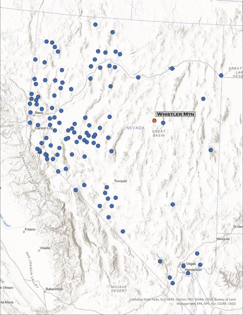
Map showing location of Whistler Mountain in Nevada

Whistler Mountain

8147 ft (2483 m) – 1522 ft gain

2023.06.07

Whistler Image Collection


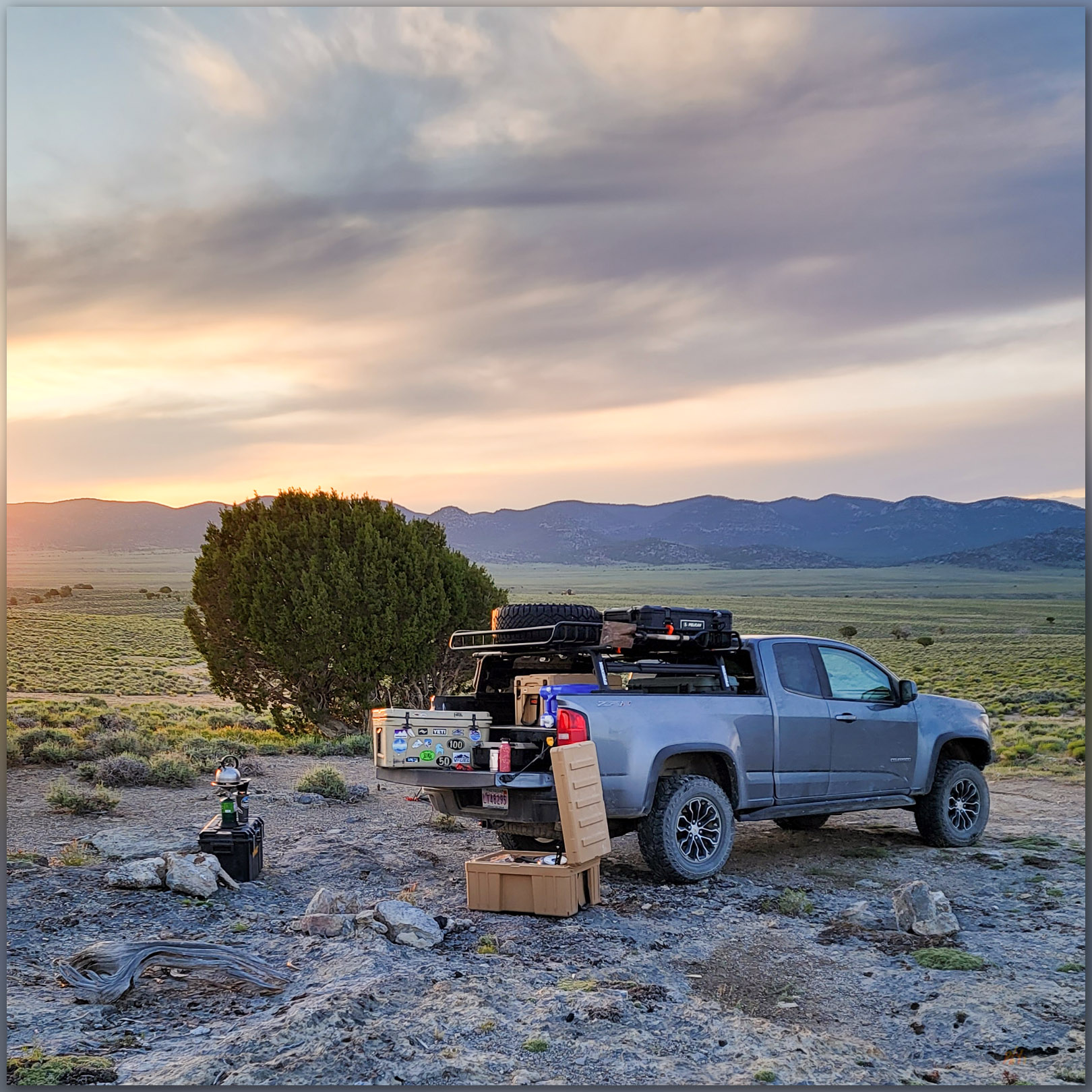
Camp morning. Sunrise in Antelope Valley, Great Basin Desert, NV, USA
Whistler walk. Into the pinyon-juniper woodland of Whistler Mountain, Great Basin Desert, NV, USA (#1 on Map)

I have been on a mapping excursion, developing an archaeological sensitivity model on a cross-section of Nevada, basically paralleling Highway 50. Setting camps along the way, it sometimes puts me in proximity to high points on my target list, and today I am up early for a walk up Whistler Mountain, a small mountain range rising between Diamond Valley and Kobeh Valley in central Nevada. West of Devils Cut, a prominent cut in ancient seabeds rising in gray stripes of limestone, I turn across Slough Creek to traverse along the base of relict fan lobes before turning eastward and upward on a two-track road leading into a relatively dense pinyon-juniper woodland. The relict fans transition from dissected alluvial lobes to erosional surfaces that bevel limestone rocks – the same rocks tilting skyward at Devils Gate. The limestone, however, is not evident on the pediment landforms which are capped by a veneer of alluvium, which I can only map generally as a local Qa1. I will not see any landforms of more recent age once I begin my hike, so given that my typical focus is on landforms of recent age (<25,000 years ago), my map for Whistler is not very informative.

While mountain hillslopes are generally not the place to be looking for recent processes of scale, beyond landslides and occasional glacial features, the conveyor belt of water and wind begins in the rocky outcrops of steep country. The sediment of the valleys and their margins begins somewhere. And, it is a nice morning for a woodland walk all the same.

Bloom continues. Wild flowers on the approach to Whistler Mountain, Great Basin Desert, NV, USA
Flowers to woodland. Spring flowers in the outcrop spaces of Whistler Mountain, Great Basin Desert, NV, USA (#2 on map)

I leave the truck soon after the woodland thickens to close in on the two-track, probably once an access for wood-cutting to support charcoal production necessary in the mining areas around the town of Eureka, Nevada. Walking steadily upward, I am soon among cliffs of intrusive rocks, similar to granite, that moved through the older limestone rocks and now form the bulk of Whistler Mountain. Any eruptive lava (extrusive rocks) that the intrusive rocks may have once fed toward the surface of any ancient volcanic landscape have been long eroded away. I notice, however, among the wildflowers still thriving in our mesic, extended spring, small scale surface features that contribute, ever slowly, to the conveyor belt of sediment that builds the dynamic landforms of the valley bottom. It’s the little things.

Windloads of dust settling on mountain sides across the Great Basin, forming the dusty sediments where stir up on just about any walk or ride. While these often settle into the shallow soil column, they swell when saturated by winter snowmelt and occasionally begin a viscous flow when the combination of water and slope is just right. These little water-logged landslides begin the transport of sediment, carrying larger rocks along with them, moving a meter a year, here and there, to begin the redistribution of material basinward. The small features mimic larger slides where sediment transport is sudden and, often, catastrophic. This is a pattern – the small mimicking the large – that often helps us understand the geomorphology of vast landscapes formed over long periods of time. I love this stuff.

Movement. Slow alteration of the hillslopes evident in sediment creep, Whistler Mountain, Great Basin Desert, NV, USA (#2 on map)

It does not take long to reach the ridgeline as I climb among talus and outcrops, enjoying the views of Kobeh Valley and the dolomite and limestone in the bright white of Lone Mountain to the west. I turn north toward a steeper slope that leads to a large summit ring, where some tumbledown lathe and wire marks an old survey marker. I cannot find a summit register, but there is a strange spiral-bound journal with seemingly endless hand-written lines petitioning Zelda – the video game character (I googled it) – for an endless stream of interventions and aid. It is beyond me, but maybe not the most surprising thing I have come across in a stone cairn in the backcountry.

The Kobeh open. Kobeh Valley stretches westward below the summit of Whistler Mountain, Great Basin Desert, NV, USA

The morning is warming nicely, and I have a lot of ground to cover today, back among the dynamic landforms of the valley bottom. I come across a series of relict charcoal platforms on my way down; evidence of why there are several ironically overgrown roads and trails, along with sawn stumps, cutting through the now-rejuvenated woodland. If this anything like the woodlands around the mining towns of Virgina City and Silver City, the mountains were bare by the close of the 19th century due to the need of charcoal for ore processing and daily life. It is also why the woodlands of today are of a generally uniform age after the hard work of pinyon jays and their peers through the intervening 120 years.

Whistler Image Collection

A jackrabbit bounds away from the shade of my truck as I return. I end another short hike to a small mountain in a somewhat obscure group of hills that culminate in Whistler Mountain. It is good to explore the small and the large, where patterns are repeated and new things found as we explore the high points and get into the lesser known reaches of Nevada’s Great Basin Desert.

High point. Always nice to visit another high point, only a couple hundred to go. Whistler Mountain, Great Basin Desert, NV, USA

Keep going.

  • « Go to Previous Page
  • Page 1
  • Interim pages omitted …
  • Page 3
  • Page 4
  • Page 5
  • Page 6
  • Page 7
  • Interim pages omitted …
  • Page 11
  • Go to Next Page »

Trail Option

Copyright © 2026 · Monochrome Pro on Genesis Framework · WordPress · Log in

  • Contact TrailOption
  • Substack
  • Waypoints Bibliography
  • Young Archives