• Skip to primary navigation
  • Skip to main content

Trail Option

A personal geography of landscape and place, art and geo-science.

  • Home
  • TrailOption Blog
  • About
  • Contact TrailOption
  • Subscribe!
  • Lost Journals
  • Show Search
Hide Search

great basin

Nevada Highpoints #104 – Bluewing Mountains

D. Craig Young · October 29, 2022 · Leave a Comment

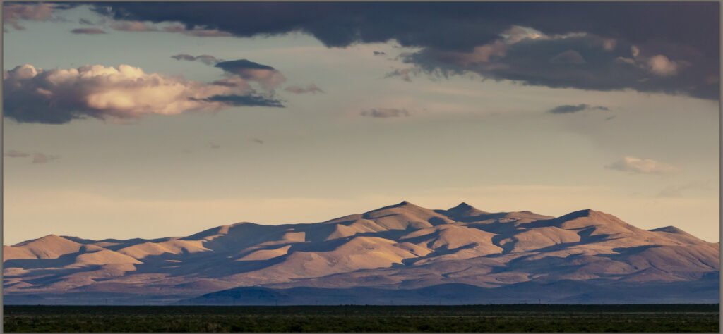
Foothills. Bluewing Mountains, Great Basin Desert, NV

Black Mountain

6617 ft (2017 m) – 2205 gain

2022.08.12

Bluewing Photo Collection


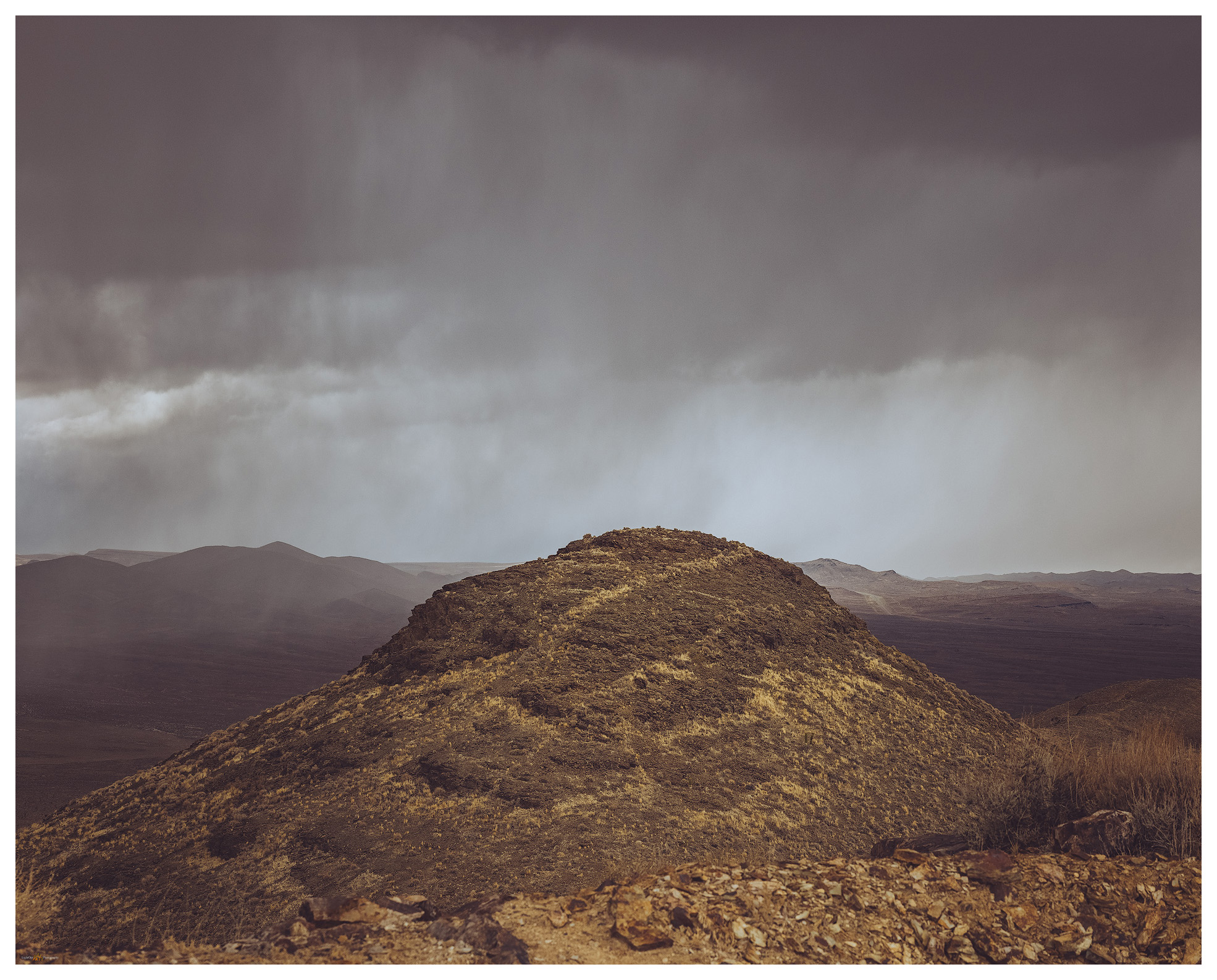
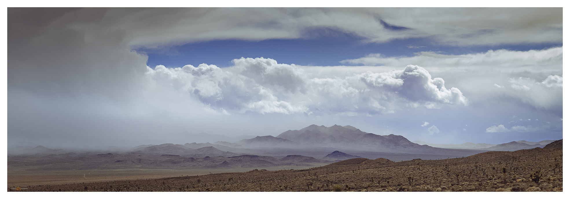
It’s hot. The sky is clear, and a parched blue horizon rests abruptly on the dusty brown of the Nevada desert. It is August, of course, when desert landscape photography is a challenge. It’s difficult to think about photography or exploring another high point when the heat is so seemingly relentless. It also seemed I could not escape from work today, so my departure moved later and later, and I considered turning around for home even as I approached my turn-off along the southern margin of the Black Rock Desert playa. I cannot, however, let the noise of the day-to-day get so overbearing that I can’t find rest in the wild. I turn south toward Bluewing Playa and begin to feel better – putting the scurrying activity of the pre-Burning Man busy-ness at Gerlach behind me and going into the quiet lonesome of Bluewing, a metaphor for the seemingly hectic week that was. I won’t see another vehicle until I reach the highway tomorrow afternoon.

Monsoon remnant. Bluewing Playa, Great Basin Desert, NV

I roll through beach lines of pluvial Lake Lahontan and drop into Kumiva Valley where sandy pediments and alluvial fans extend in a broad flat to the playa below Black Mountain, the high point of the Bluewing Mountains. If this basin held a pluvial lake it only filled a shallow pan before overflowing to Granite Springs Valley to the east. I need to spend some more time here when the days are not so hot.

Bluewing Playa. Limbo Range to the west, Great Basin Desert, NVq

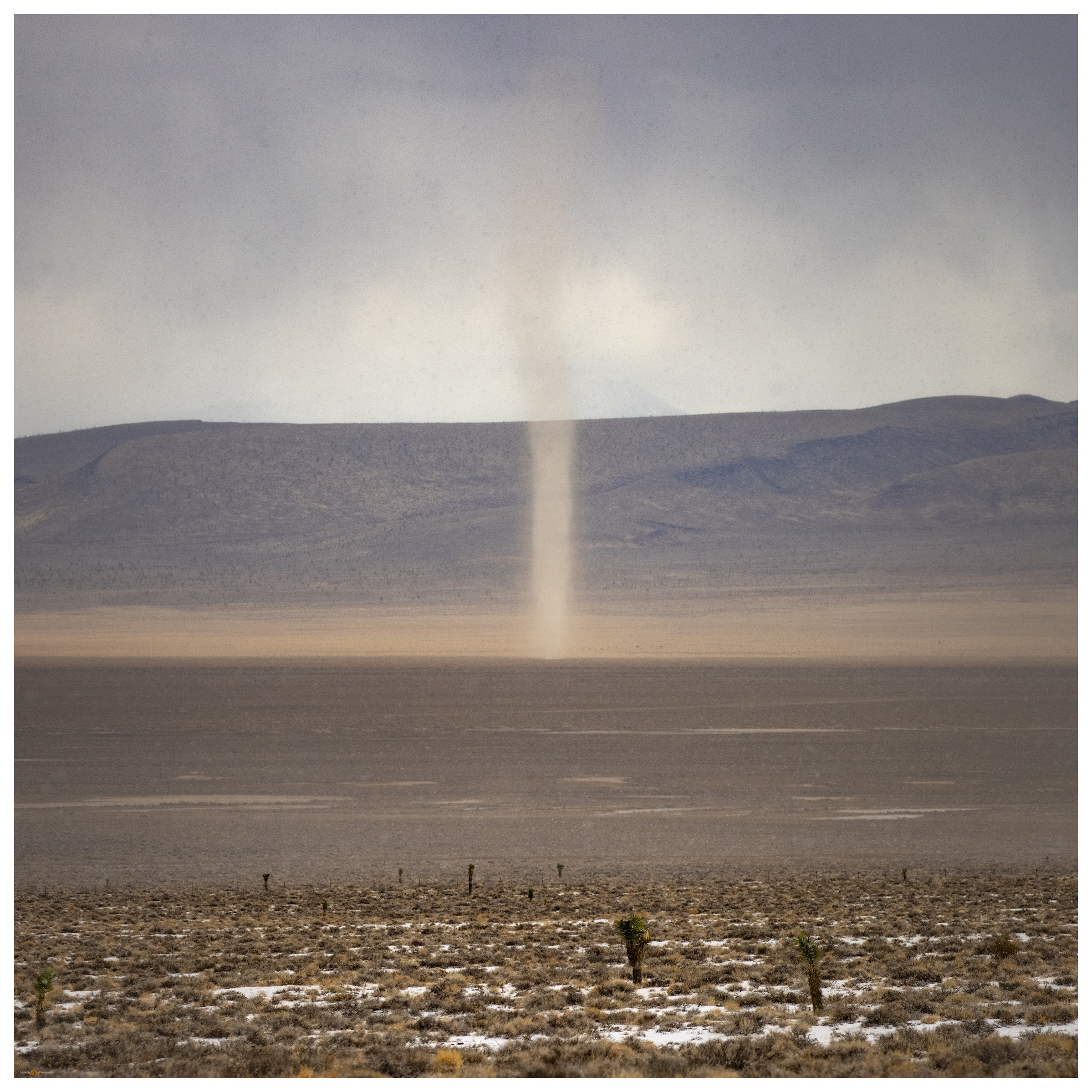
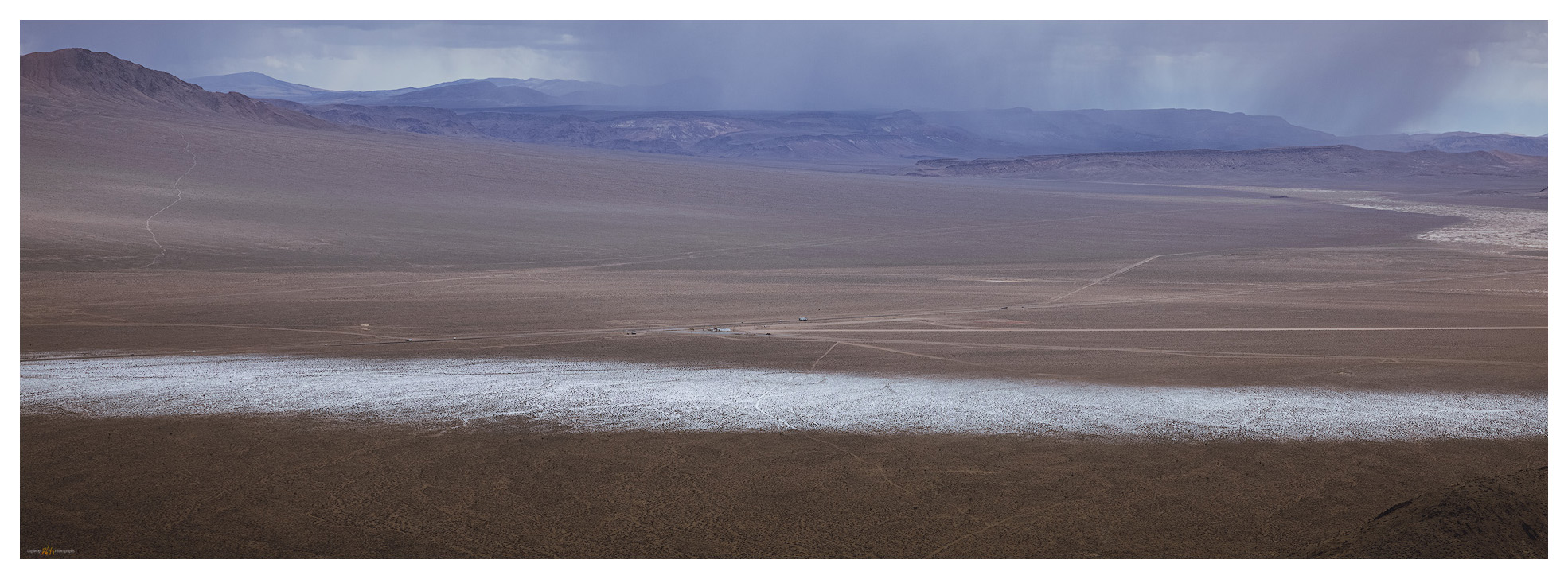
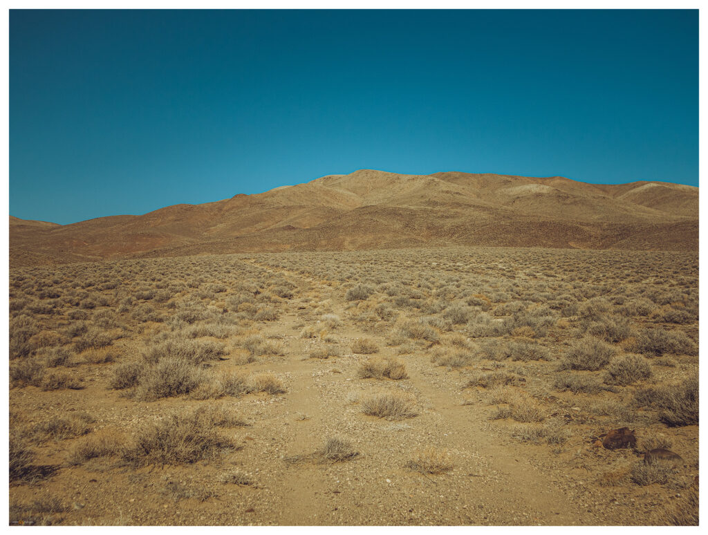
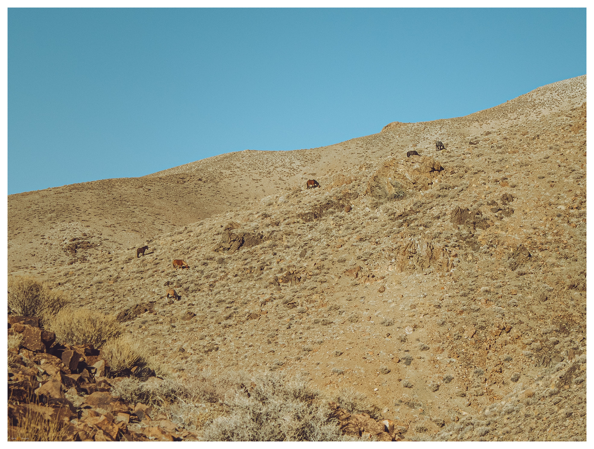
A dusty plume follows until I turn slowly onto a bare two-track that leads to the southern margin of Bluewing Playa. There are a few puddles, surprisingly, but I remember that we had some productive monsoonal storms a few days ago and they clearly tracked across this valley. Feral donkeys stare as I pass slowly by. The playa is dry, and I set camp near the base of Black Mountain, letting the heat seep into every movement; I look toward evening for cooling respite.

Black Mountain, Bluewing Mountains, Nevada, highpoints, summits
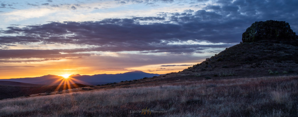
Black Mountain. High point (#104) of the Bluewing Mountains, Great Basin Desert, NV

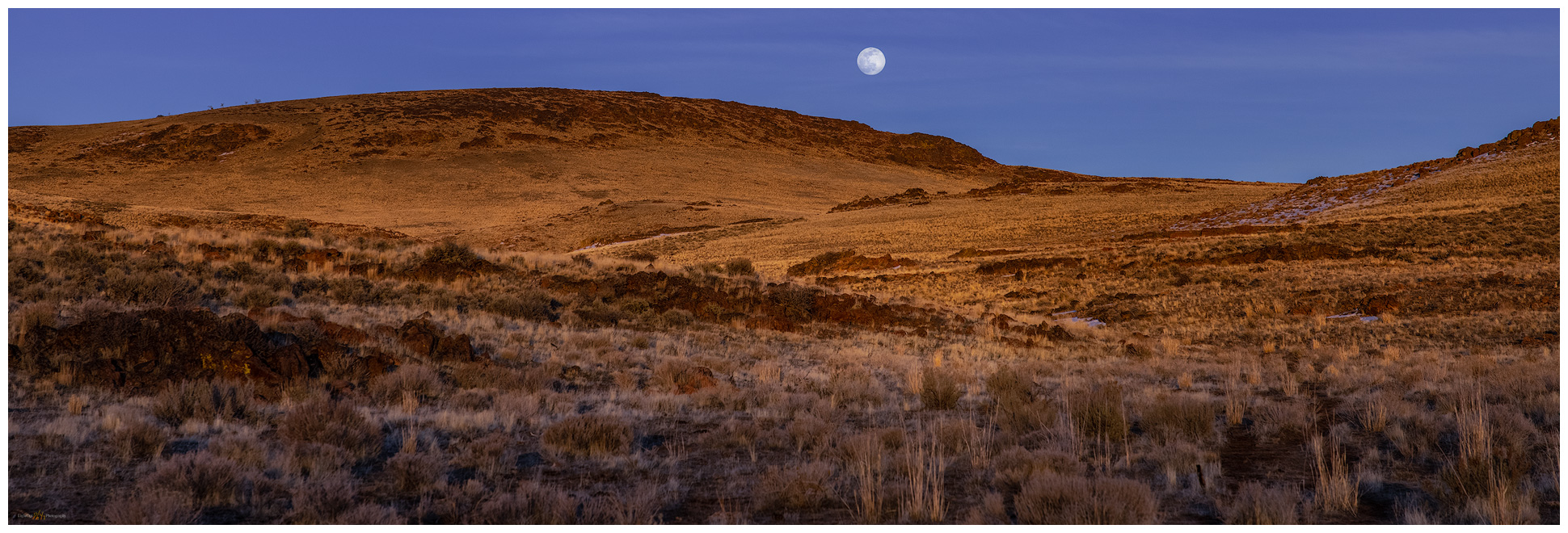
Black Mountain rises abruptly, reaching 2000 feet of prominence above the basin floor. Sitting in the shade of the camp-trailer I plot a steep route to the summit, mapping a sloping descent off the backside of the mountain. I’ll leave in the pre-dawn and hopefully beat the sun at the beginning of yet another scorching August day. Night falls and there is some relief, the southerly breeze stays warm but at least there is movement. I wait in perfect quiet as the moon rises, racing its own shadow along a band of light and dark that moves west to east across the playa. When it arrives at camp, the moon practically jumps above the horizon. Sleep comes surprisingly easy as I listen to the desert silence, the quiet only broken by the rare breying of a donkey far off in the valley – maybe they trail to the remnant pool of monsoon runoff on the playa’s northern margin.

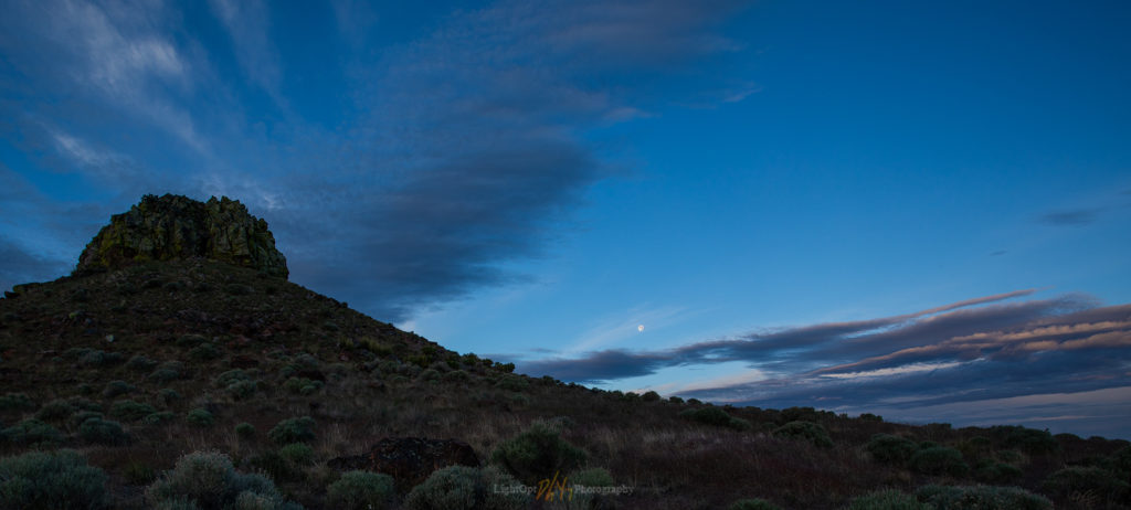
Earth shadow at Bluewing Playa. Great Basin Desert, NV
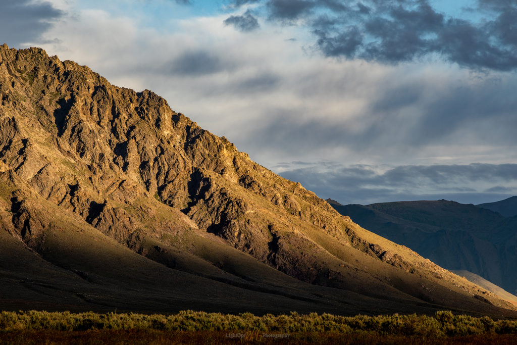
Mountain shadow. Walking the southern limb above Bluewing Playa, Great Basin Desert, NV

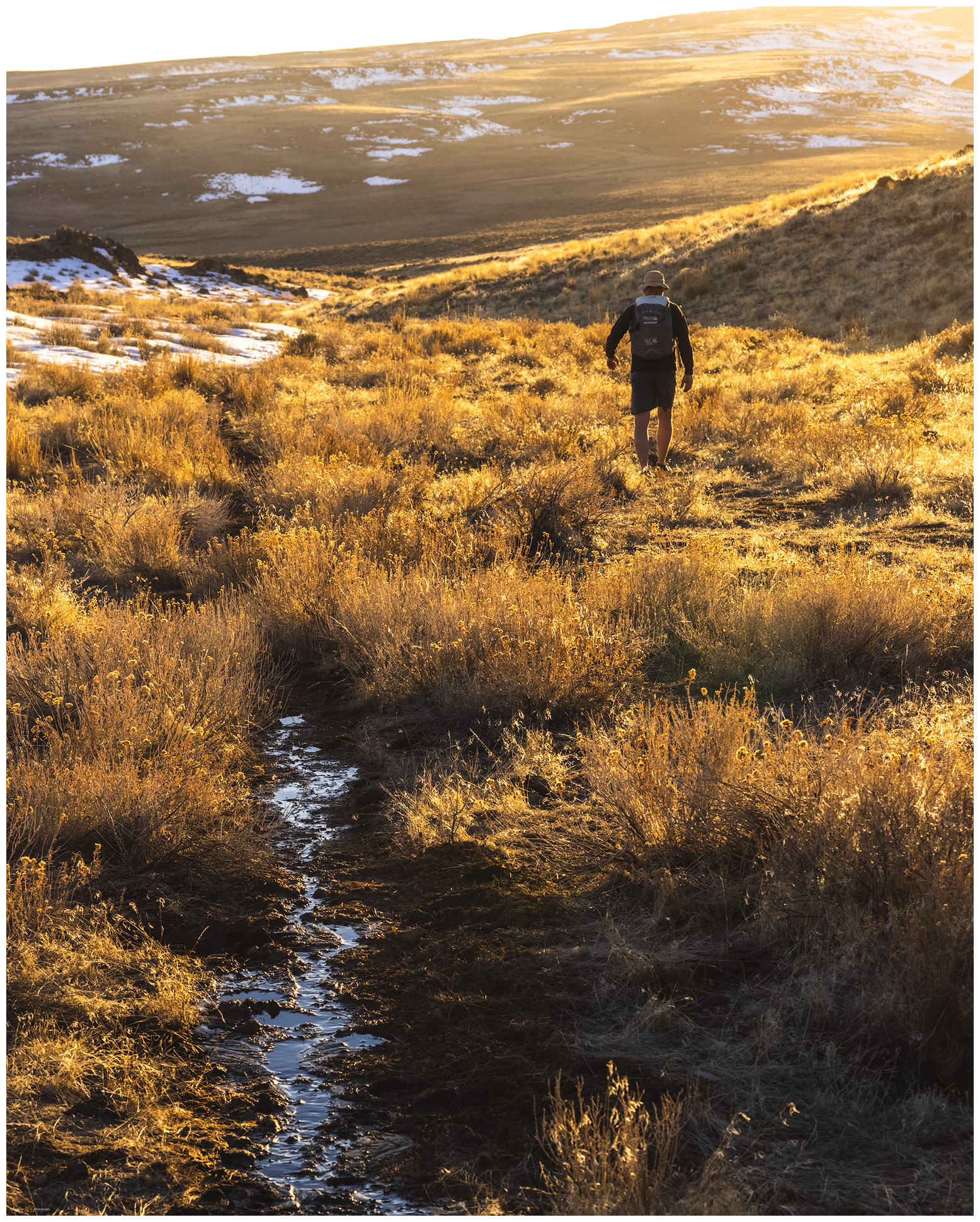
I am awake in the darkness of early morning, brewing coffee and preparing a quick breakfast to fuel the walk. It is cross-country from the playa edge, crossing a set of silt dunes before ascending a gently sloping alluvial fan that emanates from a canyon below the steep southern backslope of Black Mountain. I don’t need my headlamp because the moon lights the way and there is little to impede forward progress on the sparsely vegetated fan. A bat flits randomly in front of me and disappears. I turn into the mountain’s rise as get due south of the summit. I worry briefly that I might encounter scree-sheets of colluvial talus that could impede upward movement, but the talus cones are inter-locked nicely and the clasts provide relatively easy steps. Hands are required occasionally but upward momentum is good, and I climb quickly. The views are splendid even if the clear skies show neither depth nor drama.

Armored talus. Black Mountain, Bluewing Mountains, Great Basin Desert, NV
Rills. Bluewing Mountains, Great Basin Desert, NV
Outcropping. Bluewing Mountains, Great Basin Desert, NV

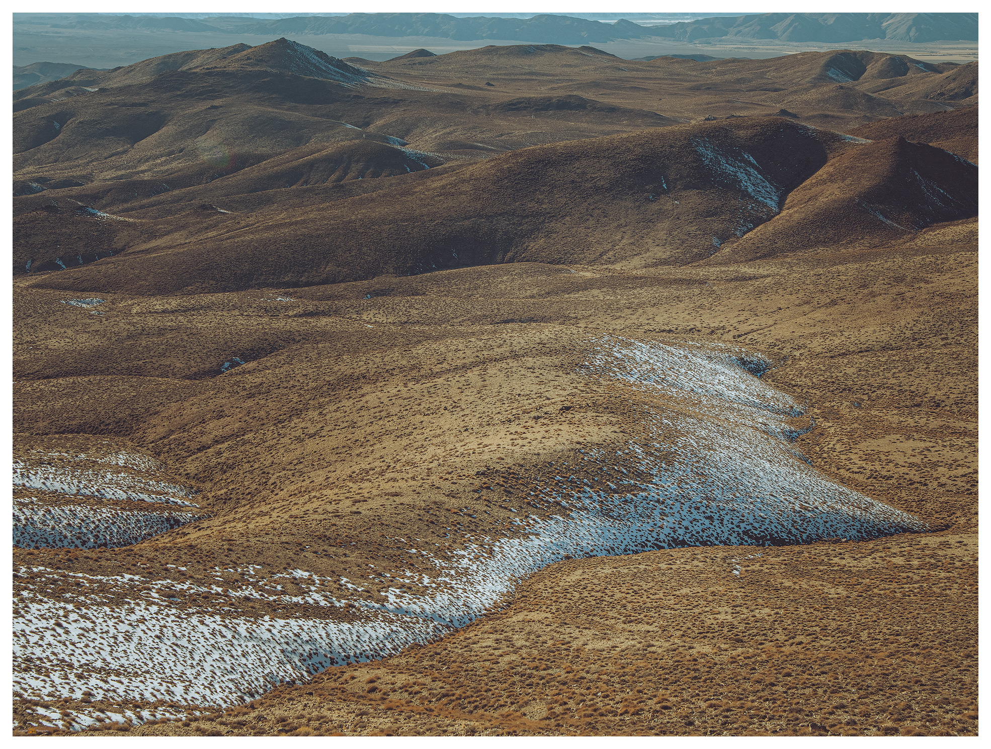
I move from outcrop to outcrop, skirting scree and talus where I can. Preparing for the coming heat, I reward myself with a good drink of water with each outcrop. I can almost walk steady as the upper slopes begin to lay back, so I work in little switchback to reach the northwestern ridge to look over the full extent of the playa, my camp a small speck on the playa edge. I break over the summit to meet the sun with a vast panorama of hills and valleys. I can see far south toward the Virginia Range above Reno, into the eastern distance beyond the Trinity and Humboldt Ranges, and Granite Peak towers in the north – I’ve attempted Granite Peak previously only to be snowed out, its summit pulls at me once again.

Bluewing Photo Collection

The walk off the east side is gradual and an easy pleasure. I am soon back in the south-side canyon that feeds the fan above my little camp. I have timed the excursion well; the morning is still relatively cool as I return to camp and begin preparations to roll out. It is a short outing, though I will have some time to gouge around the playa margins and explore the overland tracks eastward into Granite Springs Valley. I want to retrace a route to Highway 80 via Ragged Top and Toulon. There are several additional high points to explore in ranges of the ‘Bluewing Triangle’, that vast space between the Black Rock, the Humboldt River, and the Pyramid Lake highway. It’s a lonely, desolate space, precisely why it is such a pleasure to experience. The triangle remains.

Keep going.

Heat waves. Bluewing Mountains and eastward beyond, Great Basin Desert, NV

Please respect the natural and cultural resources of our public lands.

#naturefirst #keepgoing

Nevada High Points #103 — Montana Mountains

D. Craig Young · July 31, 2022 · 1 Comment

Coyote dust. Evening above Coyote Point, Kings River Valley, Great Basin Desert, NV

Mine VABM

7129 ft (2173 m) — 418 ft gain

2022.07.10


Motivation is hard to find in the long, repetitive days of summer. The Great Basin Desert seems to curl and fold within itself, even as hazy heatwaves dance across the expanse. The high-pressure domes that keep moisture at bay seem to press downward and inward, sapping energy and making the horizons of endless days barren of interest. I have been in a holding pattern of field days on projects, day-after-day, rarely home for any comfortable time; the repetition threatening to deplete much interest in pursuit of geodata, of photography (either documentarian or creative), and – I’m surprised to admit – of exploration. I typically look forward to the long drives, on-road and off, from project to project or to trailheads leading to peaks and wilderness. Not lately though, this summer is burning me out – not to mention the hordes of black ants that have invaded our home, a summer nuisance, among other chores, that sucks the remaining energy from seemingly every home-time quiet.

And yet, as I make my way up Pole Creek Road into the Montaña Mountains, the air cools and the depth of evening shadows washes some of the stagnant sweat from my eyes. Even if only momentary, the wildland heights heal the ills of summer doldrums and repetition. I am here to walk the range’s high point, “Mining VABM,” a rolling swell in the Montaña escarpment rising above Kings River Valley. Because I am working with a fieldcrew nearby, it made sense to plan this walk to coincide with my visit, and now I see it might do me some good.

Caldera remnants. Outcrops on the western escarpment of the Montana Mountains, Great Basin Desert, NV

Montana Mountains Collection

The Montañas are a crumpled and dissected block of uplifted volcanic rocks, with deep canyons splitting rolling tablelands where an occasional butte preserves an old eruptive vent or cone. There is still a little water in the higher streams, and a few of the ponds – often augmented for ranching – hold shallow pools. Although summertime in the sagebrush steppe can seem depleted of wildlife, and many species are definitely hunkered down or simply elsewhere, slow pauses on a canyon rim or along the transition between sage and a grassy burn scar can reveal hints of wild. Walking among rimrocks at the head of a canyon that drops steeply to Kings River Valley, I find a young mule deer, velveted antlers glowing in the setting sun. I step backward to let him be to find a rattlesnake quietly in my way. It does not seem to be bothered by my presence, neither rattling nor posturing, and I can easily bypass it in the quiet.

Sound attention. A mule deer peers from a shady alcove in the rimrock of the Montana Mountains, Great Basin Desert, NV
No trail. A Great Basin or Western Rattlesnake waits on an evening hunt, Montana Mountains, Great Basin Desert, NV
Motionless. The Great Basin Rattlesnake waits, Montana Mountains, Great Basin Desert, NV

The high point walk is a simple wander along the escarpment edge to a broken-down cairn guarding the summit register. From the rolling summit knoll, I can look down into Kings River Valley and southward into the expanse of Desert Valley. The agricultural imprint of the valley bottom is a regularized pattern of green and brown, but an altered wild surrounds the regularity, and only the sprinkler pivots and ditch irrigation keep the inevitable arid squeeze at bay.

Mine VABM. The unassuming high point of the Montana Mountains, Great Basin Desert, NV
Fading distance. Kings River into Desert Valley from the high point of the Montana Mountains, Great Basin Desert, NV
Pivot and bins. Kings River Valley, Great Basin Desert, NV
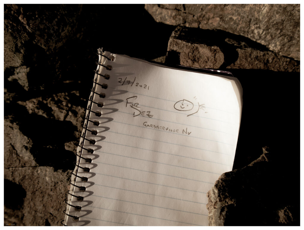
Summit register at Mine VABM, Montana Mountains, NV

Although a well-traveled dirt road traverses close the summit, the cairn seems rarely visited. I register as usual, and the hike back to the truck parked well down the road. There is little elevation gain, but it is a good walk nonetheless. It cools into the evening as I camp on the escarpment edge, where a half-moon stares at me throughout the night, washing the stars in a blue-grey blur, an echo of the dusty haze that bled the color from the day.

Escarpment camp, Montana Mountains, NV

Six hens. Sage Grouse in the Montana Mountains, Great Basin Desert, NV

Montana Mountains Collection

While the high points and wild lands, whether protected wilderness or the altered wild that forms so much of the Nevada outback, bring refreshment even at the height of summer, I worry that the altered wild is taking an unsustainable beating – federally protected wilderness being the one true refuge (for now) from development. As our infrastructure picks and prods at the remaining open space, and all wildlands (protected or not) breathe the global heat of economic and societal engines, I am part of the problem. I live and work in that infrastructure; and though my work seeks to understand and mitigate some of the adverse effects of local development, I am torn by opposing forces and my obvious hypocrisy. Like so many other wild places, the Montaña Mountains provide momentary surcease in the midst of the turmoil of climate change, environmental degradation, and political short-sight. What can these small, non-descript ranges teach me about adapting to and mitigating the pressures of the coming heat and aridity? There remains much beauty and refuge in the altered wild, our impacts are certain and may sometimes be necessary, but we must also proceed with caution, critique, and care.

Keep going.

Nevada High Points #102 – Pinto Peak

D. Craig Young · June 13, 2022 · Leave a Comment

Shadow approaches. Early summer cumulus bring hints of darkness to the warm evening light, Pinto Peak, Great Basin Desert, NV, USA

Pinto Peak

6711 feet (2046 meters) — 630 feet gain

2022.05.25

Pinto Peak Collection


The ancient Cottonwood Caldera, a massive volcano that erupted sometime around 17 million years ago, dominates the landscape west of High Rock Canyon and the Black Rock Desert. With basin-and-range faulting, several small ranges form the rough bounds of the much older caldera. Obsidian that formed during the eruption drapes many area landforms, so I have been gouging around this area for several decades mapping the natural distribution of this traditionally important toolstone to provide geographic setting for archaeological study of the technology, movement, and economy of people who have called northern Nevada and the larger Great Basin home for millennia – the geochemistry of obsidian provides direct connection to these things.

Caldera edge. Evening light on rhyolite outcrops with Granite Range in the distance, Great Basin Desert, NV, USA
Toward Fox. Looking over the Pinto Basin at the edge of the Cottonwood Caldera, Great Basin Desert, NV, USA
Donnelly Peak. A view to the east across the Cottonwood Caldera, Great Basin Desert, NV, USA

But this is a high points blog. I mention calderas and obsidian because quite often, if not always, and among other things, this research motivates my backcountry travel, at times it even funds it. I am fortunate that my vocational and avocational activities are intertwined and embedded with almost everything I do – it is who I am. So here I am out with my field team in the middle of the Cottonwood Caldera, drawn in the evening to Pinto Peak on the caldera margin.

Pinto Peak. An unassuming summit at the edge of the Cottonwood Caldera, Great Basin Desert, NV, USA

Pinto Peak is a simple walk of about a mile from the old ‘Bonneville DC line’, at one time rumored to be one of the few, if not only, untapped DC transmission lines of its size, spanning the distance from the Columbia River to Los Angeles. Coincidently and maybe unfortunately, the line bisects basins I have long been interested in, from the northern Great Basin to the Mojave Desert. I have followed its maintenance road for hundreds of miles mapping landforms and obsidian. Here I am again, parking under a pylon and walking away from the setting sun.

The line tower. The DC line on a corridor from the Columbia River to Los Angeles, coincidently traversing several major obsidian sources along the way, Pinto Basin, Great Basin Desert, NV, USA

There is no trail and I simply make my way up a gently sloping western ridge. The light is nice, with false storm clouds building into the evening. There doesn’t seem much to photograph but the light and shadows are special tonight. The distances glow as ridge lines and outcrops stand out momentarily and are as quickly gone in shadow and haze. It is a special night even if the climb is little more than a walk among sage, perennial flowers, and rhyolitic boulders.

There are only five other signatures in the register. That’s five signatures since 1999 when the register was placed – I sign on the second page. This is not a peak that would draw your attention from anywhere, one visits when collecting highpoints or hunting birds maybe. Still, the view of the caldera is great and I can see many of the ranges we have visited in the past. The light fades just as the sun cuts through the low western sky and I drop to the truck very satisfied, even though I didn’t hit my usual goals for elevation gain and distance on this minor peak. I did, however, very much enjoy the evening.

Pinto Peak Collection

Driving to camp I could only consider the good fortune I have to work and travel in the Great Basin, especially when evenings like this are revealed. I chased dust on the dirt of Highway 34, rolling along among wild horses and dispersed pronghorn. The vague Irish green of fading spring seems to glow in the early dark. Wind rushing past the open window. Evening like this, watching the light fade and dust settle, make the increasing anxiety of a tumultuous world – even if was volcanic and tectonic tumult that formed this landscape. At least I can smile for the long moments of the drive to camp, and all is good for the evening.

Keep going.

Nevada High Points #99 – Cocoon Mountains

D. Craig Young · March 19, 2022 · 3 Comments

Shoreline features. Intersection of strandlines and the pavement of lacustrine badlands, remnants of pluvial Lake Lahontan on the lower slopes of the Cocoon Mountains, Great Basin Desert, NV, USA

Alkali VABM

6104 feet (1860 meters) – 2700 feet gain

2022.03.13

The forecast promised wind, and the day delivered. Although we drove into early morning darkness, an eastern glow of dusty skies preceded with the coming sun. Robert, my son-in-law, joined me on this one-day journey to the Cocoon Mountains, pushed by a trailing wind.

Rills. Colluvial ramps below the scarp of Cocoon Mountains, Great Basin Desert, NV, USA

The Cocoons are low volcanic hills rising south of Eight Mile Flat in the Salt Wells Basin, east of Carson Lake and southwest of the Carson Sink. Strandline shores of pluvial Lake Lahontan ring the mountains, their rocks remnant of the eruptive landscape founded in Middle Cenozoic tuffs and lavas. Sands of the Walker and Carson river deltas, once stored as beaches and bars, climb the hillslopes, filling canyons with standing waves of fine-grained sediment. I have watched this small, obscure range pass my windshield many times as I skirt the dune of Sand Mountain on Highway 50, east and west across Nevada. Now, beyond the dust of the sink, Robert and I turn south into lunette dunes of the Turupah Flat, at the sill of Salt Wells Basin, pushing along a rocky road around the foot of the Bunejug Mountains to reach the sandy foot slopes of the Cocoons. The road soon dug into the sand of lake-margin dunes; locking into four-wheel drive we moved easily onward – maybe fifteen miles beyond pavement.

A sandy track led to a water tank; we parked and walked into the soft slopes of sharp shadscale and saltbush, bleached bones marking the hard finish of a few cattle – some coyotes and ravens probably scavenged sustenance, dispersing the skeletal splinters into the brush. Winding our way along stranded shorelines, we traverse onto bouldery slopes and into sand-filled canyons. It is an easy walk, nothing for excitement but a few surviving cows, and the wind at our backs pushing us upward. A moderate volcanic escarpment marks the western front of the flat-topped mountain where a few wispy clouds play in the wind and blue sky – the wind-driven dust is ripping in long streams behind us to the west, trailing into the Walker River corridor and blocking any long views toward home.

Hiking through. Robert on the western slopes of the Cocoon Mountains, Great Basin Desert, NV, USA

Choosing a sun-marked line leading from a small, outcropping hill to a crease in the mountain-front, we take to steep stepping-stones of roll-prone boulders and scree. A chill has come to the wind, which has also strengthened noisily. The sweat of the climb turns to quick cold, and we dig in our light packs for warmer layers. Snow sits in alcoves along our last easy push to a summit tableland. But where is the top?

Alkali marker. The summit map station, labeled ‘Alkali’, Cocoon Mountains, Great Basin Desert, NV, USA

The common topographic marker of lathe and guy-wires protruding above a summit cairn marks ‘Alkali’, the USGS mark at 6,104 feet. Alkali was the goal, but the low undulations of the expansive, rocky flat give me pause. We are above the last topo line (always the goal!), but what little bump is highest. The Alkali mark lacks a register, not surprising on what many might consider an unattractive summit. We wander the tableland, eyeing the Alkali mark from various candidate bumps (there is a 6012’ mark highlighted on some maps), but we settle on Alkali – hitting every other undulation just in case!

Winding out. Canyon above Eightmile Flat, Cocoon Mountains, Great Basin Desert, NV, USA
Aeolian motion. Dunes of the Blow Sand Mountains from the summit of Cocoon Mountains, Great Basin Desert, NV, USA

The views are great; the winds are greater. Gusts buffet us, knocking me down at one point as I fumbled distractedly in my pack for a different lens. The falling dunes of the Blow Sand Mountains (a military-restricted summit) illustrate the movement of sand from the Walker River drainage to the Carson basin, where ripples of lunettes in Salt Wells Basin lead to the seif dune of Sand Mountain, which today is climbing the Stillwaters to fall into Dixie Valley. I am reminded that desert dunes have their origin in water – streams are the genetic conveyors of silt and sand; they are parents of dunes, their children seduced to far-flung adventures by consanguine wind.

Walking out. Robert on sandy lower slopes of the Cocoon Mountains, Great Basin Desert, NV, USA

Cocoon Image Collection

Tired of the wind-blown stance at the top of the Cocoons, we drop into protected canyons after traversing a northwestern ridge back to the powerline track we crossed earlier. Once constant gusts subsided with each step toward the valley-margin sands. Robert and I kicked along the sandy slopes talking of former trail-running adventures and those to come. Soon our out-bound footprints appeared among the scattered bones along spoked paths that led to the dry tanks; here, our truck waited, a friendly beer drawn from the dregs of the cooler. A good morning walk, once again.

Keep going.

Please respect the natural and cultural resources of our public lands.
#naturefirst #keepgoing

Nevada High Points #97 – Paradise Range

D. Craig Young · January 5, 2022 · Leave a Comment

The mists of the basin on the clear, Sand Mountain, Great Basin Desert, NV, USA

Sherman Peak

8957 ft (2639 m) – 2464 ft gain

2021.12.19

Sherman Peak – Paradise Range Collection

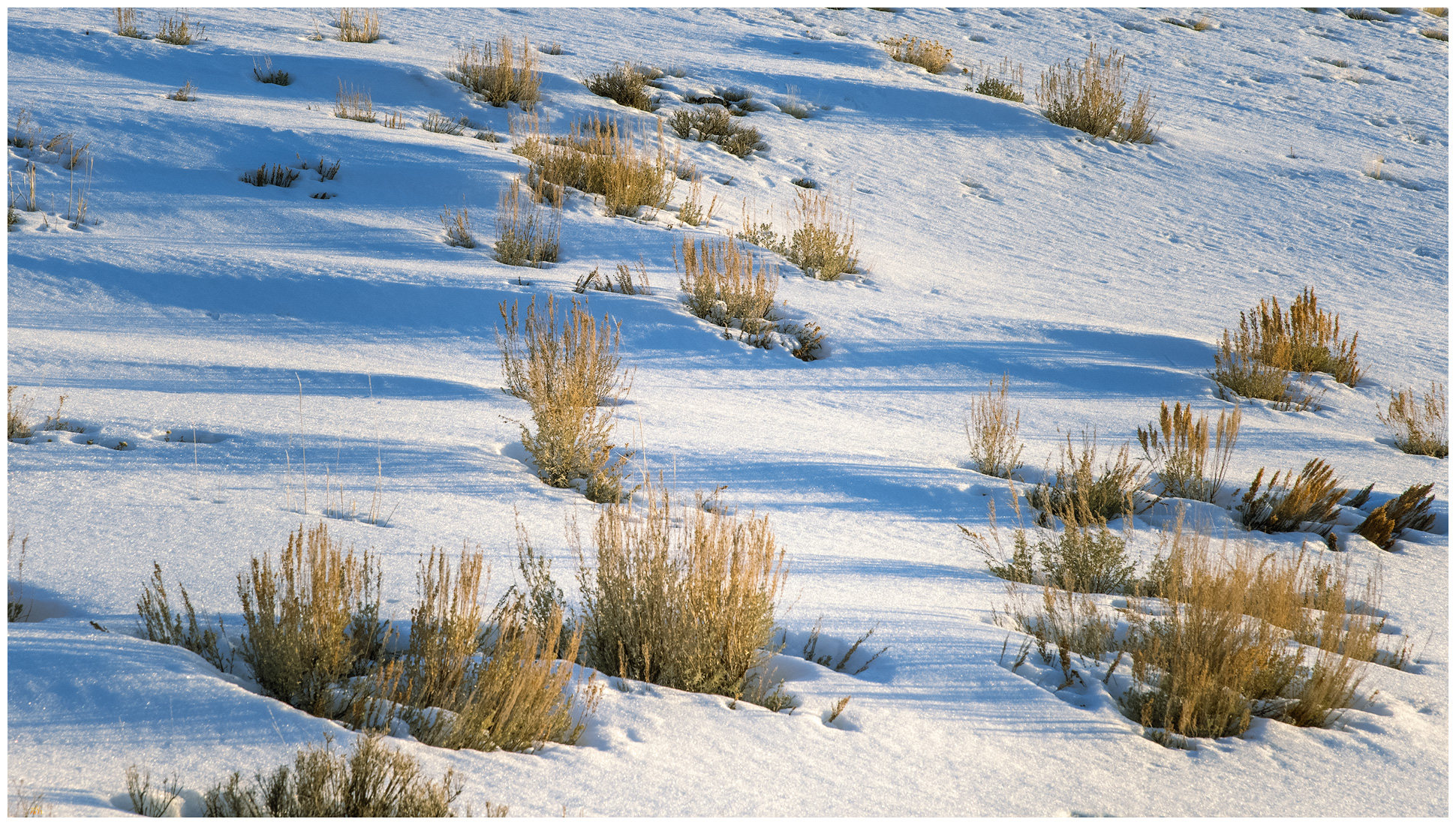
Winter’s coming, and the first snows have arrived. Although it snowed a little at StoneHeart in Carson Valley, I had watched the storms reorganize over the central Great Basin. How much would there be in the Paradise Range near Gabbs, Nevada? Well, a lot more than I thought.

The long way. The loneliest road lives up to its name in the early morning, Sand Mountain, Great Basin Desert, NV, USA

Darren and I hit Highway 50 in the pre-dawn, fog hanging low along the Carson River. At Sand Mountain the low clouds receded up mountainsides, with misty dollops scudding along the dune and its nearby hills. We were closed in at Labou Flat and Dixie Valley – nothing but the black line of the highway leading onward.

Blue skies in Gabbs Valley. Turning toward Ichthyosaur State Park, we climbed between growing snowbanks into the Paradise Range. No off-road travel today, so we parked in a crunch of deep snow, creeping in four-low just to get inches off the plowed pavement. The sun burned and bounced off the white landscape. When we stepped into the snow-bound two-track, it reached just below our knees. We were headed toward south-facing slopes of Sherman Peak, it would have to thin out.

Sherman Peak rises to the left, Paradise Range, Great Basin Desert, NV, USA
Snow approach. Finding more snow than anticipated, we worked slowly toward Sherman Peak, Paradise Range, Great Basin Desert, NV, USA

No it would not. We traversed and traversed; the snow was deeper and deeper. I had not picked a long route and figured it would be just under three miles to the high point, that takes a couple hours typically. This was dragging on as we worked away along a contour that took us on to north-facing, waist-deep drifts in a skeletal forest of snags and blow-downs. I thought about turning back; we are in the shortest days of winter solstice and time could turn against us. It was not dangerous, only more than we had psyched up for. We kept at it, of course.

Summit time. A well-earned moment on Sherman Peak, Paradise Range, Great Basin Desert, NV, USA
Darren finds the register in the typical summit cairn, Paradise Range, Great Basin Desert, NV, USA

The summit was a relieved reward where we turned into a newly biting wind and felt the chill of recent excursion, the heat of effort evaporating quickly. We did not linger. But our first steps downward found us stumbling and falling from snow-buried boulders, missing the next footfall we thought would be there. Repeatedly. When we got into stride we descended quickly; until we hit the deep snow of the rolling, forested slopes of the last two miles. We slogged, boots heavy with wet snow and accumulated ice. Happily at the truck, we were glad for the effort and impressed by the conditions that Paradise had thrown at us – even if our sweat had come in the relatively warmth of the solstice sun.

I realized after that I had not taken many photographs. At first humbled by the stark blue skies and bright white snow, I soon forgot the camera altogether as we focused on breaking trail. The views from the summit of Sherman Peak are exception, seeing a distance Sierra skyline, valley beyond valley, and the bulge of the plateaued ranges of the central Great Basin. It was dressed for winter, ready for the days to come.

Sherman Peak – Paradise Range Collection

Please respect the natural and cultural resources of our public lands. #naturefirst #keepgoing
  • « Go to Previous Page
  • Page 1
  • Interim pages omitted …
  • Page 5
  • Page 6
  • Page 7
  • Page 8
  • Page 9
  • Interim pages omitted …
  • Page 11
  • Go to Next Page »

Trail Option

Copyright © 2026 · Monochrome Pro on Genesis Framework · WordPress · Log in

  • Contact TrailOption
  • Substack
  • Waypoints Bibliography
  • Young Archives