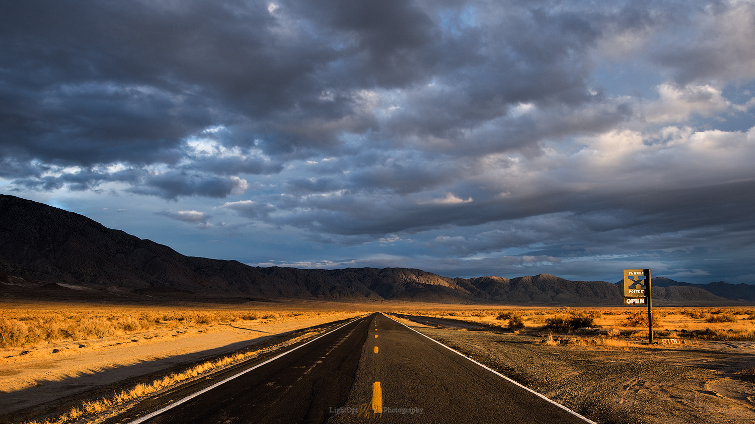
One of my favorite respites from road-weary travel in the Black Rock – High Rock country of northern Nevada is a stop at Planet X Pottery. John and Rachel have become great friends over several decades of occasional, but all-too-rare, visits to their home and gallery northwest of Gerlach. Our shelves are lined with the basin-born art, pieces having evolved to daily utensils that maintain our connection to the desert at the foot of the Granite Range.
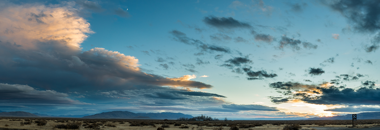
We went out to visit John and Rachel and to share Thanksgiving dinner, taking a holiday break with a drive into northwestern Nevada. We are rarely confined here at StoneHeart, but we will take any opportunity to shrink into the space of the Smoke Creek Desert. The forecast called for a chance of an early-season, slider storm. Hard to predict where the fast-moving fronts will have an impact, but they usually provide an active sky.
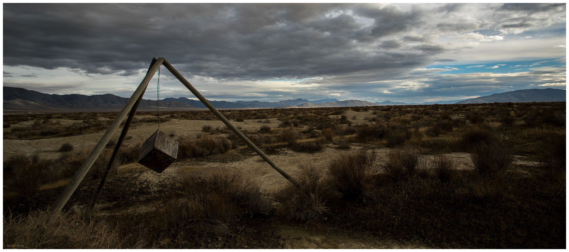
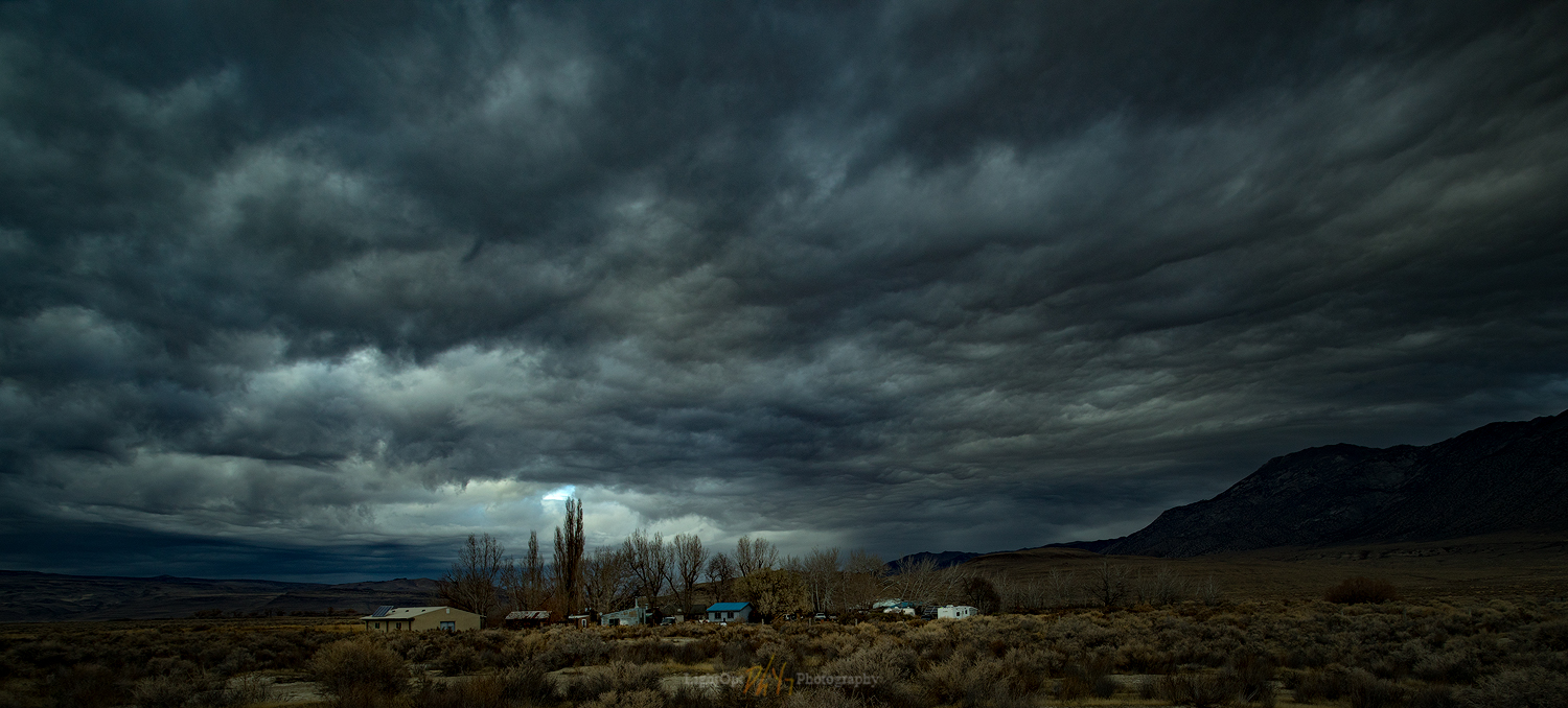
I took some time in the evening to follow the build-up of moody skies. I circled the property, walking the desert in search of compositions that would give a sense of space while also highlighting some subject of interest. I kept coming to views of the Planet X gallery set against the changing skies. John and Rachel often use images of the gallery and its desert habitat to advertise gallery shows and to highlight its unique setting. I thought I might try to add a few to their collection, a thankful expression of many years of welcoming visits and a wonderful Thanksgiving dinner to come.
The skies cleared in the early morning. After a few very early excursions outside the house, watching the constellations spin above the desert, I drove into the pre-dawn darkness to work on a series of sunrise shots in the arroyo of Squaw Creek west of the gallery. These are the kinds of images I really want to make work. Arid landscapes with prominent landforms or compelling evidence of geomorphic process and change—highlighting the beauty, subtlety, curiosity, and occasional drama of the natural systems of deserts and mountains. High hopes, and though unsuccessful this morning, I enjoyed, as always, engaging the landforms and watching the light of the morning come alive. It was good practice.

I spent the mid-morning wandering the gallery taking hand-held stills of the beautiful habitat of art and life around the gallery. This was not something I’d practiced at all previously and I enjoyed the outcome.


Thanks so much to John and Rachel for our holiday escape to Planet X. We will return with pies someday soon.
Keep going.