• Skip to primary navigation
  • Skip to main content

Trail Option

A personal geography of landscape and place, art and geo-science.

  • Home
  • TrailOption Blog
  • WayPoints
  • Galleries
  • About
  • Contact TrailOption
  • Subscribe!
  • Show Search
Hide Search

great basin

Nevada High Points #90 – Madelin Mesa

D. Craig Young · October 23, 2021 · 1 Comment

Mahogany distance. Wildfire has taken a toll on the Madelin Mesa but hardy curl-leaf Mountain Mahogany holds on to summit outcrops, Great Basin Desert, USA

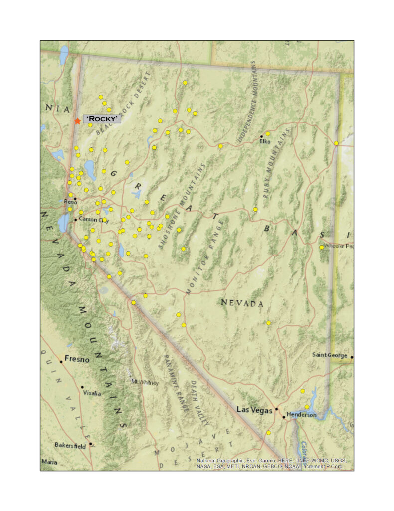
Rowland Mountain (‘Rocky’)

6911 ft (2107 m) – 650 ft gain

2021.09.24

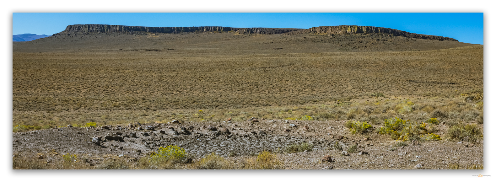
The mornings have the feel of autumn, but the midday still holds the heat of summer; it is that time of year. Here, at the close of September, I had a landform mapping project in support of archaeological survey and inventory near the northern end of the Madelin Mesa, a hardscrabble and fire-altered tableland that stretches along the Nevada-California border in northwestern Nevada. You could argue that this is not a mountain ‘range’ at all, but the basalt-capped rimrocks and plateaus are punctuated by a few hills and form a distinct region between Buffalo Creek and the Madeline Plains of northeastern California. I have driven by Rowland Mountain for many years, gouging around between the Hwy 395 corridor and the obsidian-rich calderas of the High Rock Country, and, though I had created my list of target high points quite some time ago, I had forgotten which outcrop was the high point. It is a simple cluster of basalt outcrops just south of Buckhorn Road.

Darren and I had tried to get to Rowland in March, but our plans were curtailed by poor road conditions. On that outing we had retreated from the mesa and made for the High Rock Wilderness, drier land to the east, and summited Mahogany Mountain.

This time I was alone, although I knew of an archaeological field crew camped a few miles to the north. I was on my way to visit them, but first, with no sign of snow or much of anything to block my way, I turned toward Roland. I parked near an older Wilderness Study Area (WSA) boundary sign, though the currently mapped boundary of the Buffalo Hills WSA, is along the summit of the nearby ridge – this is the goal of today’s summit walk.

HP #90 Collection

Rabbitbrush at seed. Disturbance plants such as rubber rabbitbrush colonize burn scars on Madelin Mesa, Great Basin Desert, USA

It seems we have had endless days of cloudless skies. This can make for a pleasurable outing, but it makes the creation of interesting landscape photographs challenging. And, while landscape photographers have been trending away from grand, saturated landscapes toward smaller and more personal compositions, I remain drawn to the big scenes and have found only rare satisfaction with intimate, unique imagery. Maybe the cloudless walks into unassuming hills like those of the Madelin Mesa provide a laboratory for practice.

Woven. Great Basin wild rye thrives along narrow, rocky floodplain where skeletons of western juniper trace earlier woodland, Madelin Mesa, Great Basin Desert, USA
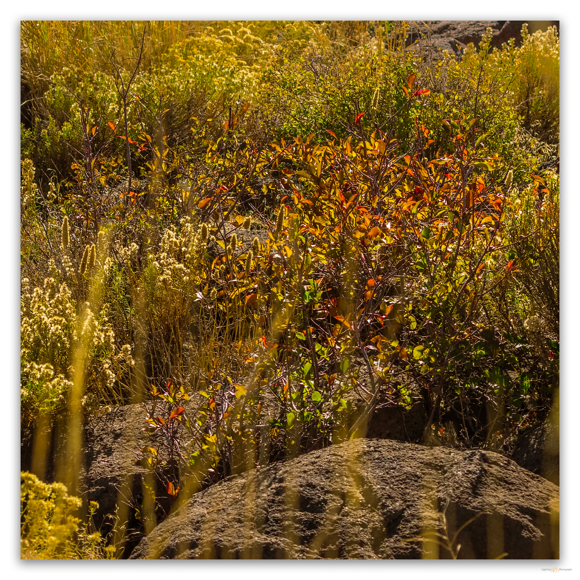
Splash of autumn. Color spills from protective rock outcrops where seeds and water gather, Madelin Mesa, Great Basin Desert, USA

Wildfire scoured the area sometime in the past decade or so. Stands of western Juniper have become confined to the narrow canyons with patchy remnants only thickening to the north. Skeletal woodlands stand bare among the disturbance colonizers and locally proliferating – slowly, slowly – communities seeded to rehabilitate the barren slopes and washes. Curl-leaf mountain mahogany grips the higher outcrops where its fire hardiness has protected isolated stands. These hardwood trees are beginning their brief dance of autumn color and stand hopefully dressed among the rocks. Otherwise, the landscape is a trodden yellow-brown in all directions. Horses navigate repeatedly and hopefully between water reservoirs (many now dry) constructing a web of inter-weaving trails, pounding the fragilely submissive, droughty land to dust. Pronghorn look at the equine map with confusion but remain ready to run, they need no habitual track.

Little shade. Pronghorn antelope gather at a lone western juniper, attentive as always. Madelin Mesa, Great Basin Desert, USA
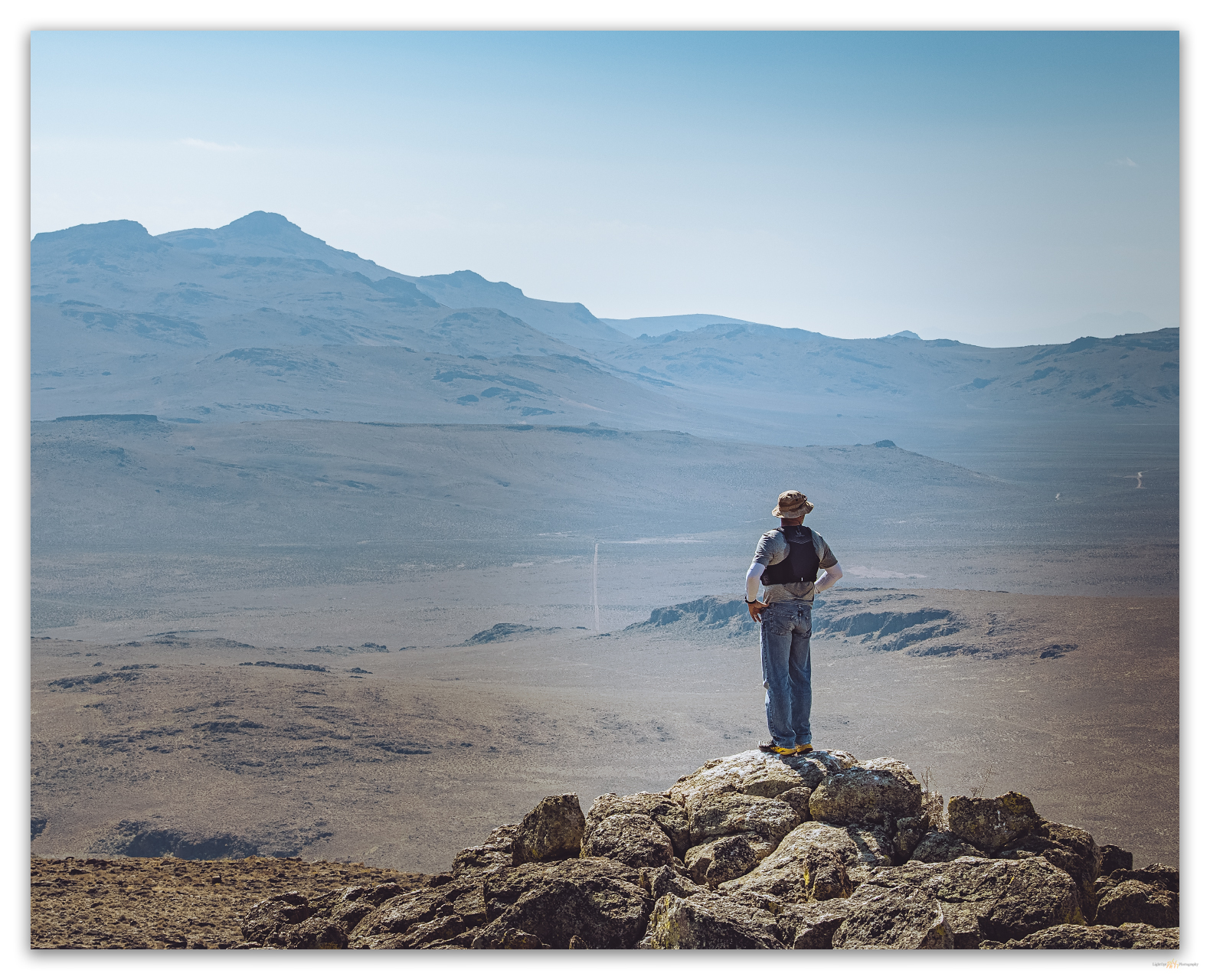
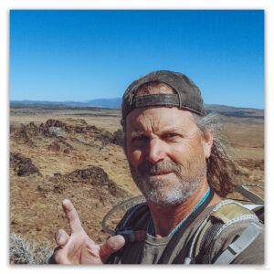
Your host on High Point #90, Rowland Mountain

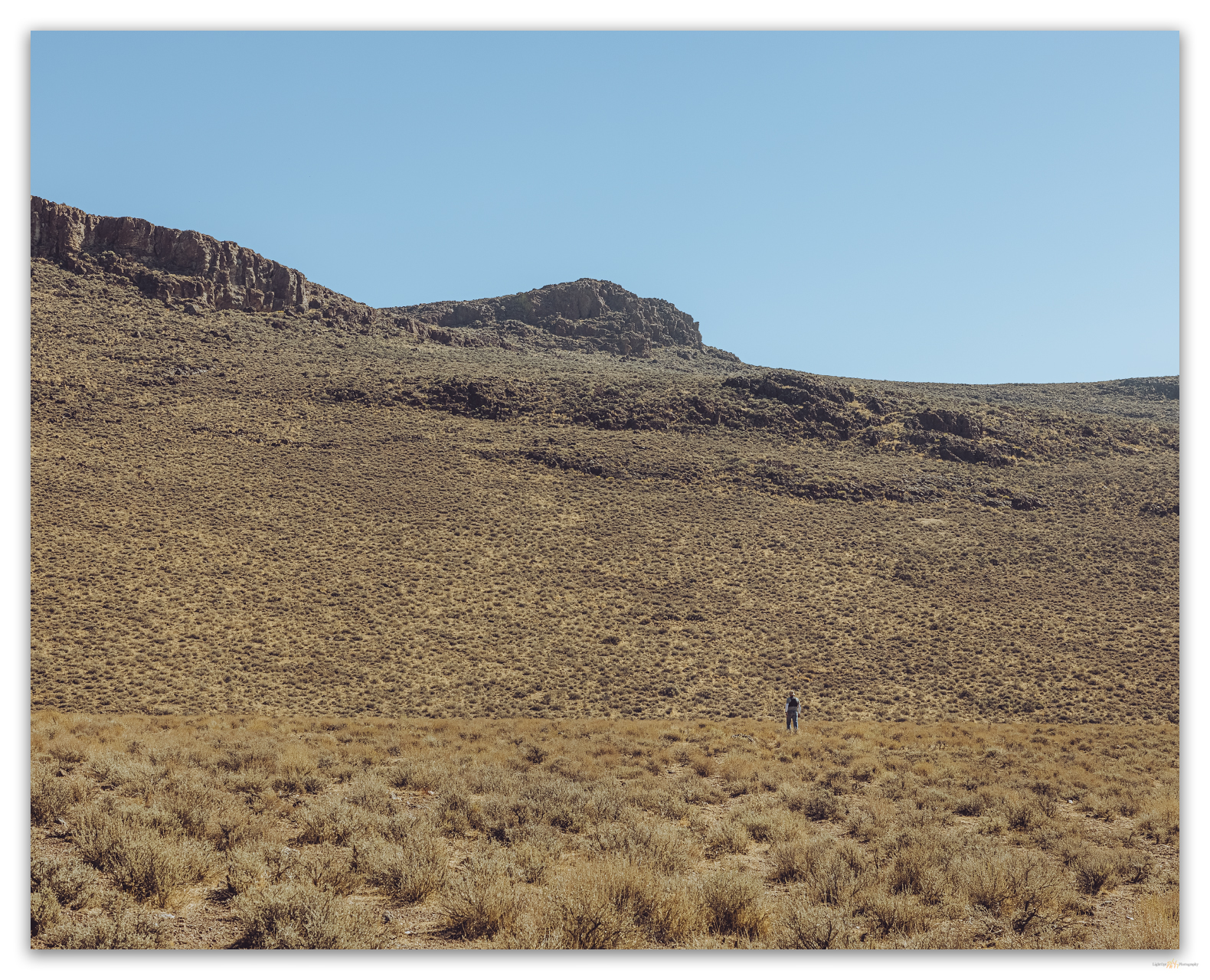
I reach the wrong summit after a relatively short walk. It is only a slight mistake as the elevation of the bunched-up outcrops along the summit ridge is difficult to discern. I jump off one to gain another, then another. Soon, the brass benchmark ‘Rocky’ (the label on the 7.5’ quadrangle map) shines into view. The register was placed, once again, by my ‘peak neighbor’ Tom Rountree, a summit hiker I have run into many times but never met. There are only two other names in the little book – by the looks of it, these Spanish surnames suggest visits by Basque or Hispanic crofters who could not keep from getting to the highest point around; at heart, they are no different than I am.

This walk only takes a couple hours, but I take my time, watching Northern Flickers attack the barkless juniper snags while pronghorn stand guardedly in the shad of a long western juniper until I make a careless move, and they begin a slow but purposeful walk westward away from the strange figure on the hillside.

As is. A necessary evil on the track to Rowland Mountain, but mind the sign. If no sign, leave it as you find it. Madelin Mesa, Great Basin Desert, USA

HP #90 Collection

After so many outback days generally alone, I am surprised by a cluster of hunters on my walk out. I see them a ways off, but am surprised nonetheless. Their sight of me is equally surprising, especially given that I am non-motorized, just a guy walking down a wash. I am waiting at the gate, having kindly opened it so they can pass unperturbed by its presence. I offer that I have been waiting a very long time for their arrival, and we have a good laugh and short conversation about the convenience of a backcountry valet, especially on a Thursday afternoon in the middle of nowhere, as they say. Once again, to me, this is the middle of everywhere. The best place to be, even if it hardly draws attention on a map.

Keep going.

Please respect the natural and cultural resources of our public lands.
#naturefirst #keepgoing

Nevada High Points #88 – Butte Spring Hills

D. Craig Young · October 18, 2021 · Leave a Comment

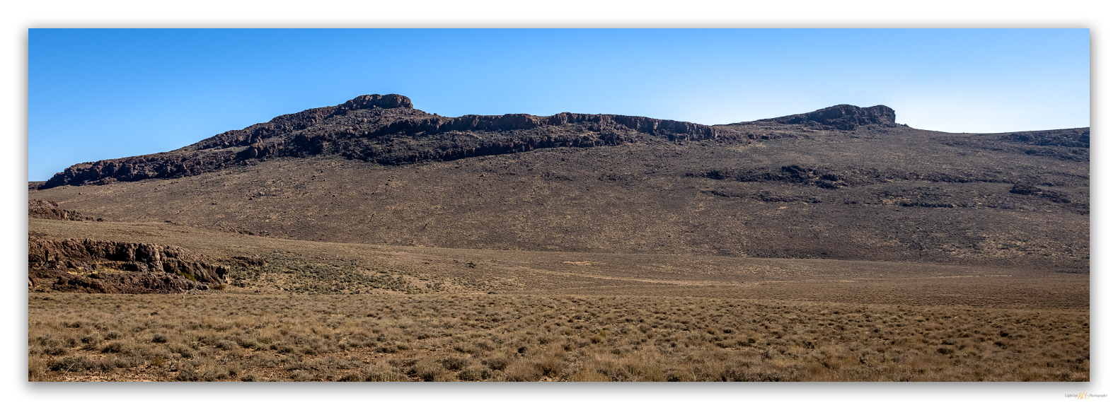
Dropping into upper drainages of McConnel Canyon below Peak 6507 (on the left), the high point Butte Spring Hills, Little High Rock Wilderness, Great Basin Desert, USA

Peak 6507

6507 ft (1983 m) – 910 ft gain

2021.09.11

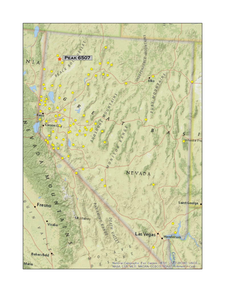
On Nevada Highway 34, a wonderful dirt road north of Gerlach, there is a steep right-hand turn just after the Lund Petrified Forest. The forest consists of a couple of upright trees trapped behind a fenced enclosure, but we are not here to see the rocks that were once trees. We had escaped the smoke-filled Carson Valley to gouge around a pair of summits on Second Friday weekend. This steep road, a cherry-stemmed, spring access in the Little High Rock Wilderness, would get us near the high point of the Butte Spring Hills. Although this group of hills is not one of those listed by McLane or Charlet, I added Peak 6507 to my list as it stands apart from the Division Range; the canyon of Willow Creek making a clean break from the Division Range (aka Sheep Hills) to the southeast. My few additions to the lists are typically small hills like these that stand out on USGS maps and are labeled even though they sometimes seem to structurally related to nearby ranges – and it gets me to a few places I might not otherwise visit.

HP #88 Collection

Dry Days. Bath Tub Spring, Little High Rock Wilderness, Great Basin Desert, USA

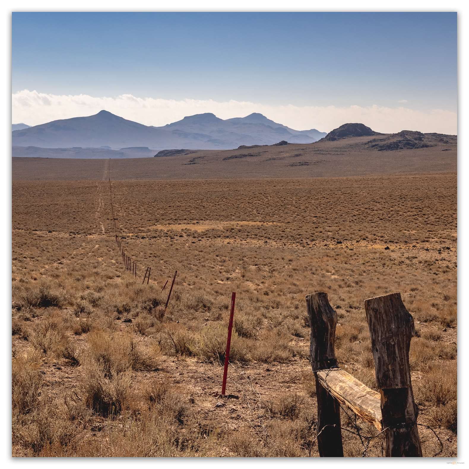
We arrived at the wilderness boundary at mid-day. Not the best time for a photographic foray on the hardscrabble sagebrush, mostly beaten down by horses. After parking at a boundary sign, we walk an abandoned two-track toward Bathtub Spring. The spring is damp, but the dug-out reservoir is dry and pocked with trampling hoofprints. A barbed drift fence has fallen into disrepair; it would be nice to see this removed. It is, however, easily stepped over, and we make our way to a dry wash that rings the southern apron below the prominent rimrock of Peak 6507.

Time to go. A fence in need of removal, Little High Rock Wilderness, Great Basin Desert, USA
High key desert. A good walk to Peak 6507, Little High Rock Wilderness, Great Basin Desert, USA
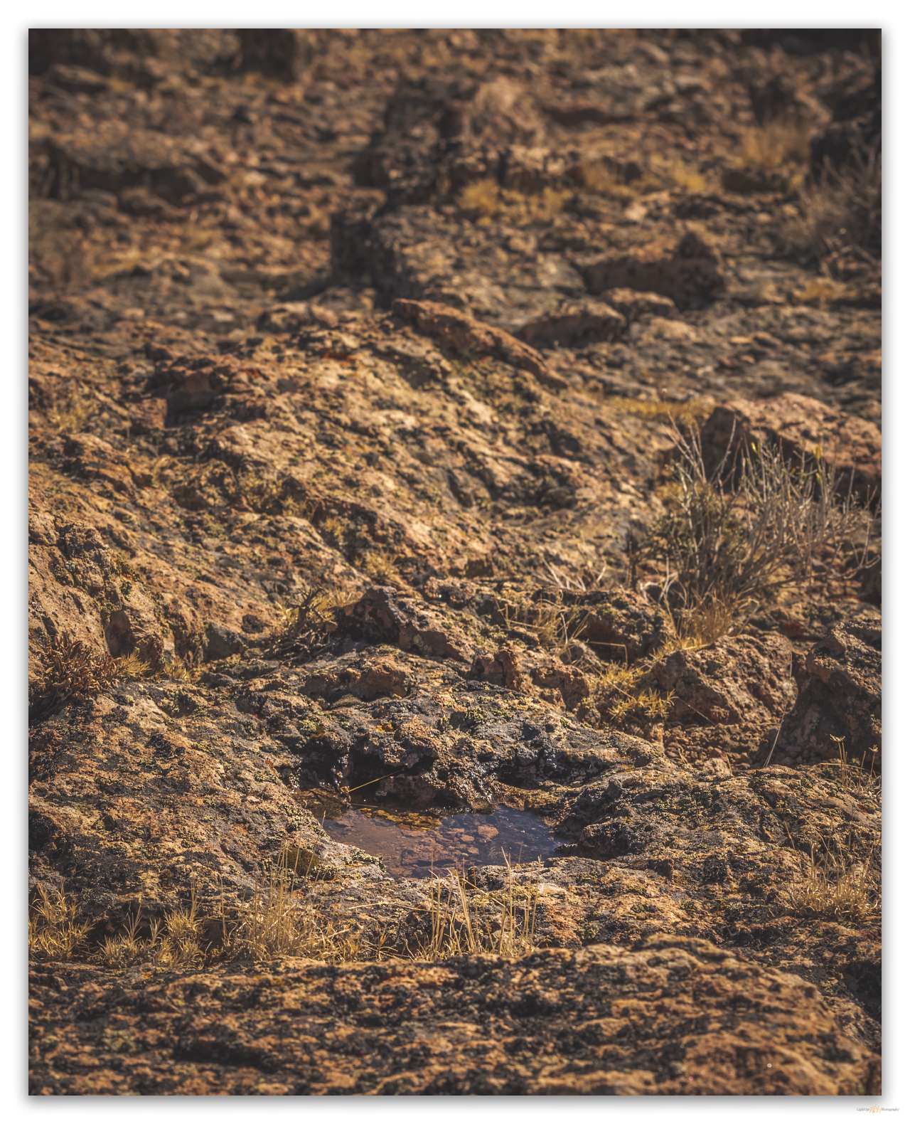
Remnant. Memories of recent rain. Little High Rock Wilderness, Great Basin Desert, USA

Water pockets in the capping outcrops promise hope left by recent rain. A quick storm passed a couple days ago, and I am surprised the water remains. As Craig Childs writes, there is often more water in the desert than we expect, if only we see and learn. These seemingly lost pools always lift my spirits.

Summit views. High point of Butte Spring Hills over Highway 34, Little High Rock Wilderness, Great Basin Desert, USA

The summit is a jumble of rhyolitic rimrock and boulders; there is no register – maybe I should install one on those hills that I upgrade to the status of named-range highpoint (those not on the typical ‘lists’), but, hey, leave no trace. Even for a relatively small group of hills, the view is awesome. It is especially good to see Donnelly Peak rising to the southeast, our target for tomorrow.

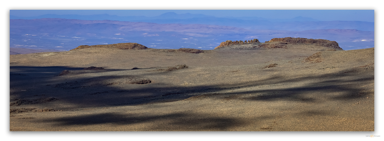
Looking west. Shadows among the Rooster Comb, Little High Rock Desert, Great Basin Desert, USA
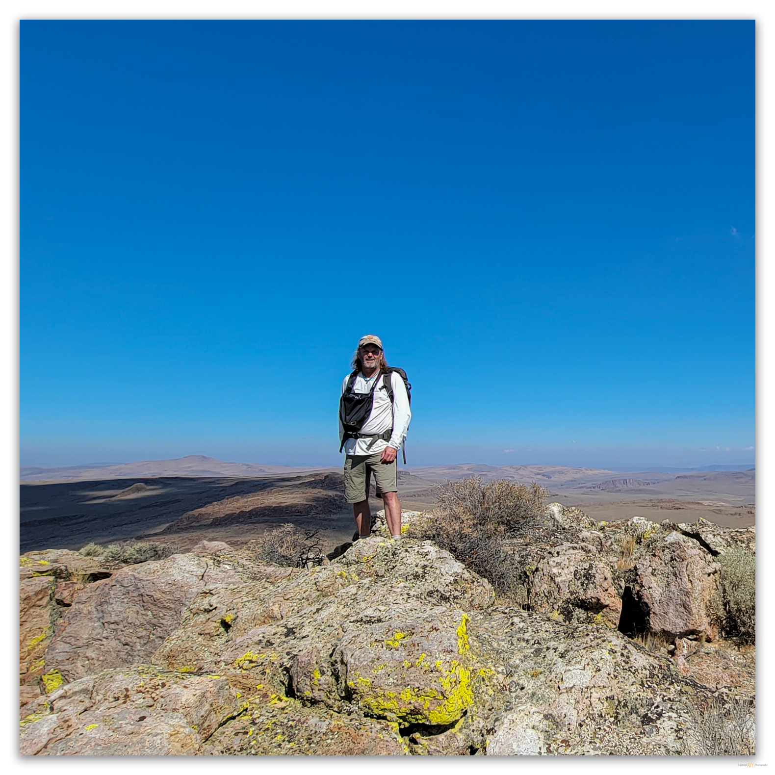
Desert high. On the summit of Peak 6507, Little High Rock Wilderness, Great Basin Desert, USA

We scurry down the west-facing rimrock and walk a looping route back to the rig. Obsidian nodules of the eastern margin of the Cottonwood Caldera rest as gravel and small cobbles on the fans near the so-called Butte Spring. We take the opportunity to map their distribution for my on-going obsidian sourcing project. Another great reason to get into the lesser-known hills and highpoints.

HP #88 Collection

Keep going.

Mind the sign. Notes at the wilderness boundary, Little High Rock Wilderness, Great Basin Desert, USA

Please respect the natural and cultural resources of our public lands.
#naturefirst #keepgoing

Nevada High Points #86 – East Gate Range

D. Craig Young · August 2, 2021 · Leave a Comment

Grayback Mountain

7510 ft (2289 m) – 1200 ft gain

2021.07.11

Well, that didn’t take long. I must have gotten a little sleep. It is, at most, four hours after returning from Peak 6632, which we summited soon after midnight, and Darren and I are headed for our approach to Grayback Mountain, the highpoint of the East Gate Range. The forecast is basically three words, ‘hot and smokey’, so we are at it early to beat the heat – it is generally hazy in the pre-dawn sky, but the smoke does not seem too bad.

Generally paralleling and slightly en-echelon with the Desatoya Mountains, the East Gate Range extends southward from the historic-era freight station and some time ranch at East Gate, a cleft traced by Buffalo Creek at the northern tip of the range. Buffalo Creek and its dramatic arroyo drain westward and cut eastward, and the drainage’s dendritic, upper, generally dry tributaries reach toward Buffalo Mountain above Smith Creek Valley – Buffalo Mountain ing being a distant sister to Grayback Mountain, the range high point. Steep cliffs of rhyolite outcrop in the north and punchy hills of rhyolite and volcanic tuff build into a broad range tucked up against the Broken Hills.

We hiked into the rising sun, following a long drainage, its narrow gully crowded with a two-track, jeep trail. We worked our way through an open pinyon woodland that seems to be doing well on north-facing slopes. The south-facing slopes are wide open or staked with the burnt, denuded skeletons of what was once a stand of pinyon. The slopes face one another across the gully, a yin-yang of before and after. The northward burn scar leads us to steep hills of rhyolitic tuff – cliffs and outcrops creasing the gullies that cut toward the mountain. Following a modest crease in the hillside, the peak’s south ridge the leads directly to the summit, and we take little time climbing the stairway of game and grazing trails, over tuffs of bunch grass and between rocks of talus. The summit hosts a small, slightly crowded woodland, with the register cairn tucked under a pinyon snag the appears to propping up a young tree.

HP #86 Collection

Darren in the small pinyon woodland on the summit of Grayback Mountain, Eastgate Range, Nevada

Our view is fading fast in the smoke and a growing heat haze. While smoke arrives in a rust-brown blur in the upper elevations, last night’s ground smog suffocates the lower valleys. As the day warms, the valley fog reaches up canyons to meet the summit haze. It is time to go down.

Morning haze divides the Eastgate Range, Great Basin Desert, Nevada

Our return is a wander among open pinyon and outcrops until we hit the snags of the gullied fire scar. A dozer track moves along the scar margin, winding between sage and dust – a firebreak that held. Looking across the little valley, to the northwest, it seems the line did not withstand a southerly winded run; the flames climbed northward, too fast for the meager dirt line, upslope toward Grayback. The ground is barren but for the black stems of burned-out sagebrush. Regaining the south side’s woodland, we walk easily down the gully and are soon back in camp.

Traces of former lives under the pinyon, Grayback Mountain, Nevada
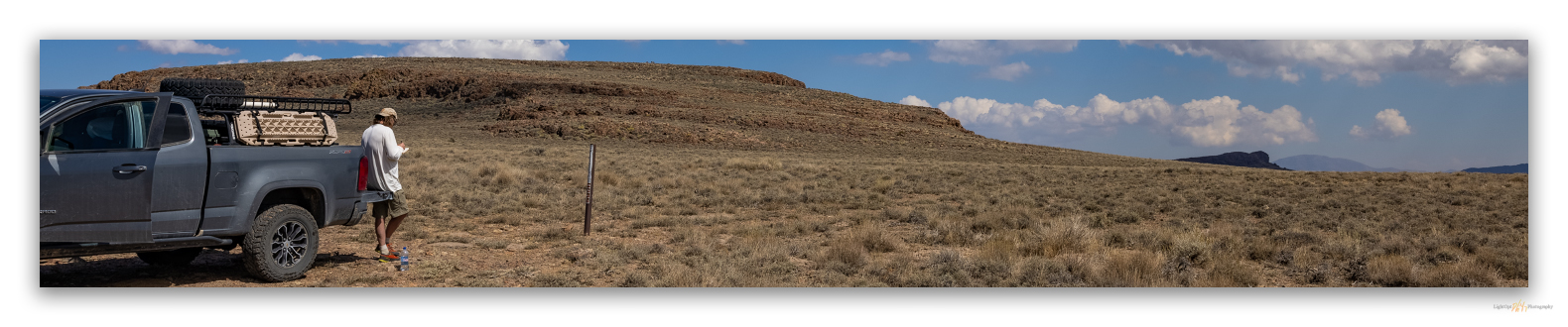
Our camp at Mud Spring, the Broken Hills HP of Peak 6632 in back left, Broken Hills, Nevada

HP #86 Collection

A walk in the East Gate Range is not dramatic. Sure, there is the amazing alluvial record of Buffalo Creek arroyo and, often, bighorn sheep can be seen on the canyon walls overlooking Eastgate. I love an overland that includes Eastgate, but the rounded hills do not call for attention. And yet, even in the heat of July (and the heat of 2021), a morning recce around Grayback is cannot be a bad thing.

We pack camp quickly, but not before we pile up a skottle breakfast to refuel after the two climbs. Ok, climbs like this do not require too much fuel, but our enjoyable effort is good reason for a breakfast burrito. We laugh at the fact that our climbs could not have been more different, night and day, in fact. And best, this morning’s walk did not have any spiders.

Keep going.

Please respect the natural and cultural resources of our public lands.
#naturefirst #keepgoing

Nevada High Points #85 – Broken Hills

D. Craig Young · August 1, 2021 · Leave a Comment

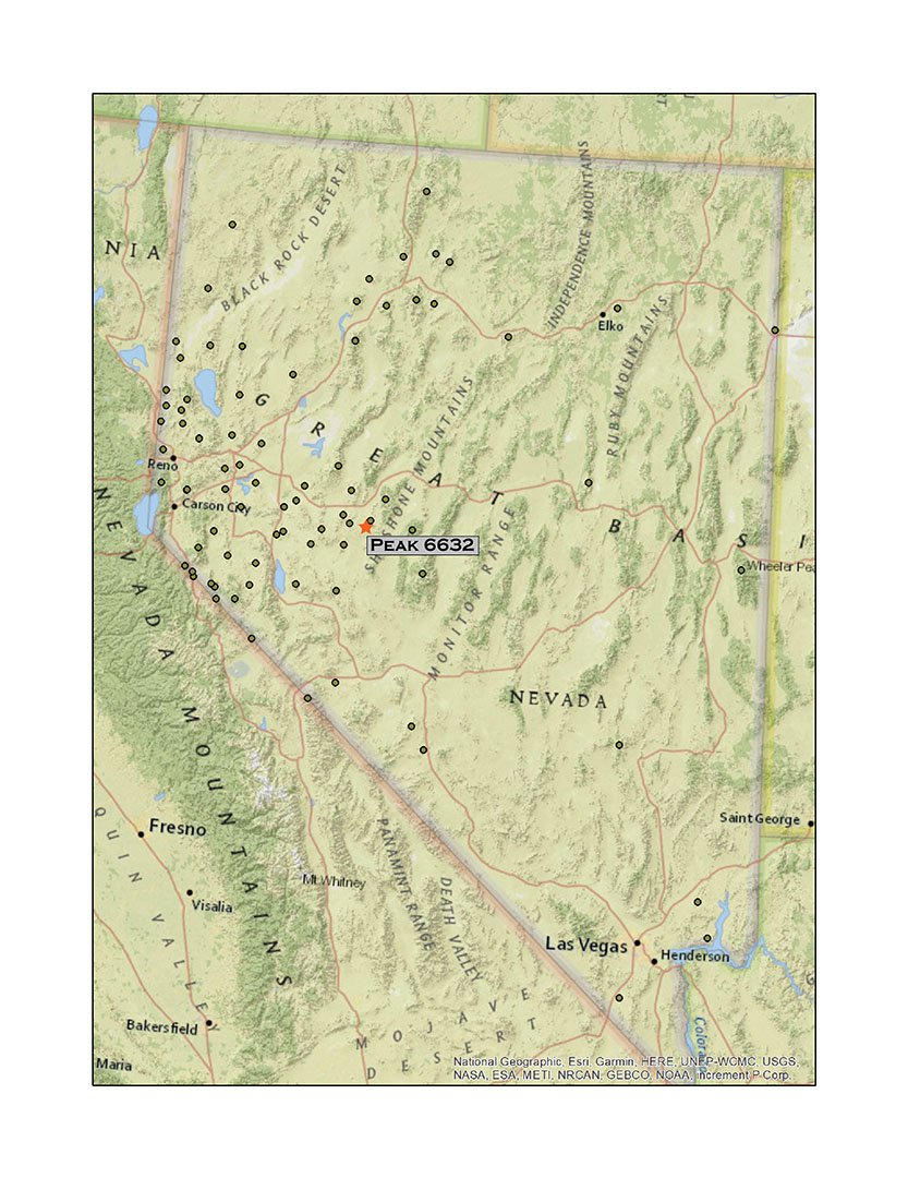
Peak 6632

6632 ft (2021 m) – 600 ft gain

2021.07.10

It has been a strange week, but maybe this is just how they are now. A 5.9-magnitude earthquake shook our house, Portland hit 113° (and Gardnerville not much less), the Beckwourth Fire Complex continues to rampage, and monsoon-like storms knocked the power out at StoneHeart. The latter occurred after I had left on a Second Friday excursion targeting the High Rock Country. I had met Darren at his house just as Des described a powerful storm cell at home – a lightning strike resulted in a local power outage. She said it was intense but not that unusual, so Darren and I headed north toward Gerlach. But at Nixon, on the shores of Pyramid Lake, Des let me know that the power had returned but the well had not. We tried various fixes, but it would not kick in. Although our well contractor is always quick to respond, I would not rest easy in the backcountry without the water on at StoneHeart. We turned back.

However, Second Friday still goes – even if it is now Saturday. Waiting through the punishing heat of the day, Darren and I finally set out eastward on Highway 50 in early evening. We have a new plan for the short excursion. We will avoid the heat as much as possible, climbing at night and in the early morning to get high points of two smaller ranges in west-central Nevada.

It is 106° in Dayton Valley but a thunderstorm squall at Lahontan Reservoir drops the temperature along with a brief heavy rain. For a few minutes it is 76°. By the time we reach Fallon, however, it is a cloudy 104°, and it stays that way into the evening even as we hit the dirt tracks of the Broken Hills slightly higher in the Great Basin desert.

Ragged hills of rhyolite and volcanic tuffs comprise the unorganized range of the Broken Hills. On the edge of the hills, the site of Broken Hills saw a brief boom as silver discoveries drew miners to the area in the late 19th and early 20th century. McLane writes that the hills are named for either the mining district – a call to prosperous mining area in Australia – or the disparate, broken nature of the knolls, outcrops, and hummocks that make up the small, east-west-trending range. A sagebrush community forms a low-density cover with widely spaced small plants on local hillsides. There are very few trees. These are clustered in small stands of Utah juniper, typically one or two trees standing lonely along contacts between the rhyolitic rocks and volcanic tuffs, it seems. Pinyon can be found in the wash separating the Broken Hills from the East Gate Range, where the pines form a thick woodland subject to recent patchy wildland fire. The boundary between the two ranges is structural – the East Gate Range being a relatively clear north-south fault block extending away from the Desatoya Mountains, while the Broken Hills appear random and rolling. The high points of the two ranges are only a few miles apart, so our camp at Mud Springs should provide a quick base for two short climbs.

HP #85 Collection

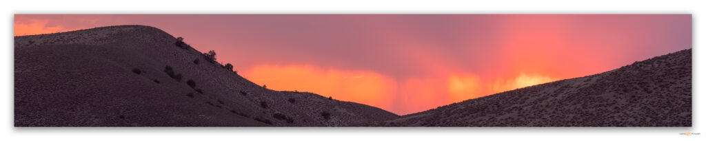
Smoke from the Beckwourth Complex wildland fire transforms a needed rain at sunset, Broken Hills, Nevada

As we set camp, the smoke from the Beckwourth Complex alters the western sky. Storms struggle in virga, as gray curtains evaporate in the heat without nourishment. We make dinner and wait for the relative cool of night. It is 10 PM when we set out with headlamps, leaving the truck on a side-road a ridge away from camp. We have arachnids immediately. Scorpions and fierce-looking spiders patrol beneath our headlamps, dodging our footfalls and we dodging them. A black widow has strung a hopeful trap across one rut of our two-track path, a reminder that the hunters are busy in the understory and best to keep the headlamps and attention on. This desolate path to Peak 6632, unremarkable in daytime, is bustling after dark.

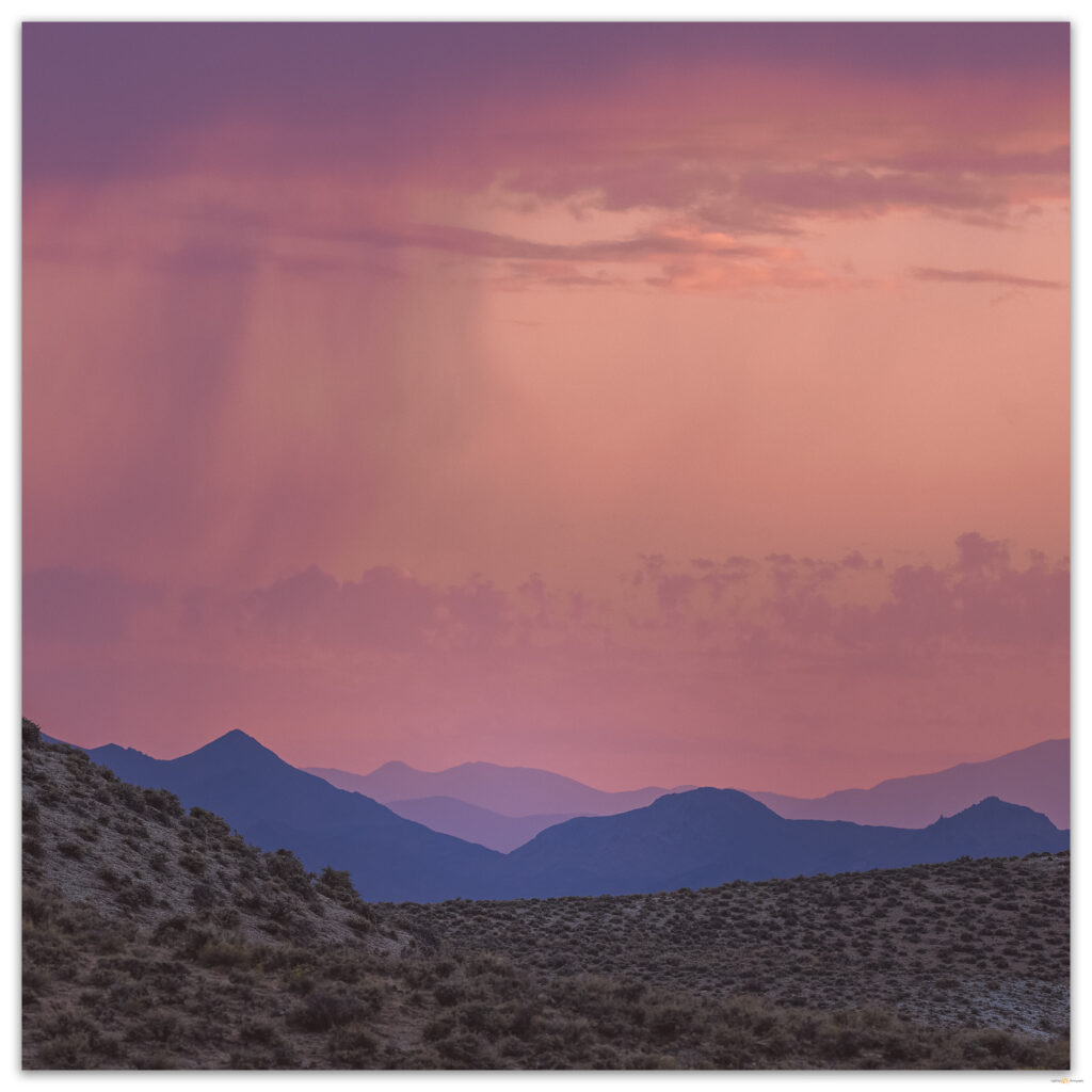
A storm fades in the smoke of western Nevada Ranges, Broken Hills, Nevada

The dome of Peak 6632 steepens considerably in its final 500 feet. Darren finds the small summit cairn and we complete our first night-time summit. And it is dark as night. Clouds and smoke mute any meager light, and we realize, with no stars to guide us, we have lost our bearings. The smokey haze fills the horizon like ground-fog, and the glow of distant towns and bigger cities is almost imperceptible. Finally succumbing to checking GPS, we are baffled by our confused dead-reckoning. A moment ago, we had, with certainty, thought we were facing south, only now do we realize that that direction is north; we were 180° off. Soon, however, the parting clouds reveal the Milky Way core, and we are grounded again. A large scorpion watches our confusion – it too likely confused by our curious illumination – and we keep an eye on it as we check the summit register.

Ghosts on the summit, Peak 6632, Broken Hills, Nevada

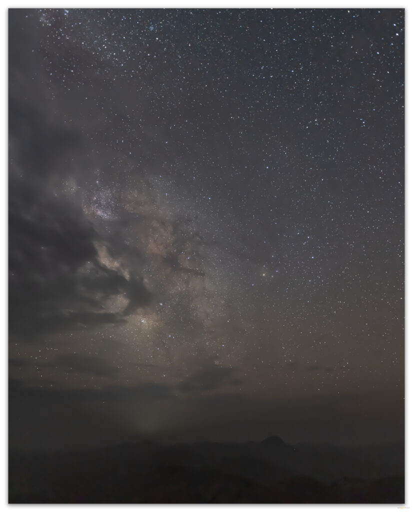
We linger for an hour or more. As the smoke blurs the shadows of hills and horizon below us, the Milky Way appears hauntingly among the clouds. Forgetting the ground-hunting creatures for a while, we turn off our headlamps to feel the dark. The wind is warm and tastes sadly of distant embers. Again, a small hill, an otherwise no-name place of interest to so few, provides a unique experience that is the dividend of motivation and the simple desire to explore the forgotten backcountry.

The Milky Way appears behind a haunting night-haze of wildland smoke, Broken Hills, Nevada

HP #85 Collection

Keep going.

Please respect the natural and cultural resources of our public lands.
#naturefirst #keepgoing

Nevada High Points #83 – Toiyabe Range

D. Craig Young · May 31, 2021 · Leave a Comment

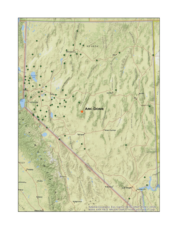
Arc Dome

11,788 ft (3593 m) – 4005 ft gain

2021.05.14

Sometimes life gets in the way. As Second Friday approached, it appeared the workaday world required more that its usual allocation. Although I am fortunate to have spent much of my career working outside and have been overlanding since it was just called ‘travelling to field camp’, running a company must be ‘work’ sometimes. Our summer field season is kicking into gear, we have had a bit of a hiring push, and there remain projects to finish; sometimes there are not enough hours in a day.

Darren and I had charted an excursion to climb and photograph Arc Dome, the high point of the Toiyabe Range, the first of a series of ranges that march across central Nevada and reach heights well above 11,000 feet, higher than the local peaks of the Sierra Nevada rising above my home. I could not, however, focus on planning our trip and I considered postponing for a week or so. But work is not life, and life is not work – though I have a great passion for many things about my vocation – and balance leads to both better work and better life. There is no skipping Second Friday.

HP #83 Collection

Approaching Arc Dome on the Toiyabe Crest Trail, Toiyabe Range, Nevada.

We met in Carson City in the pre-dawn and drove east to meet the sun. The beginning (and end) of each journey is repetitive: the same Hwy 50, usually, east along the Carson River, curving through the Carson Sink, beyond Sand Mountain and into the outback. At Dixie Valley my mind accepts that we are in the expanse. Highway traffic has dwindled (though Hwy 50 in no way resembles ‘America’s Loneliest Highway’ as the signs suggest), and I start to anticipate the turn onto dirt to traverse valleys the Great Basin long way, north or south. Today we turn south toward Ione, Nevada, climbing Buffalo Canyon before dropping at the midpoint into the length of Smith Creek Valley and Ione Valley. The valleys are nice and lonely this morning, ours the only dust plume.

One more pass, across the Shoshone Range, and we are in Reese River Valley, where the horses of the Yomba Paiute-Shoshone Reservation thrive along the broad floodplain. We climb onto the east-side fan, uplifted along the reach of Stuart Creek that points to the Columbine Trailhead. The Forest Service campground is in great shape, but, to our surprise, it is empty. It really must be post-pandemic – if movie theaters and restaurants get to capacity, maybe the backcountry camps will be quieter. Simple packs loaded and the climb begins immediately at the trailhead sign; we are immediately within the designated Arc Dome Wilderness.

Our approach traversed about seven miles of the Toiyabe Crest Trail, Toiyabe Range, Nevada.

Moving in and out of an aspen woodland – aspen groves are actually a single living entity, this one happens to be the largest living thing in Nevada’s Great Basin, we climb steeply as the trail navigates the distal side of a series of glacial moraines, remnants of a time when Nevada was more like Iceland than, well, Nevada – when glaciers, hot springs, and vast lakes prevailed. Today, only rounded ridges and lobes remain to mark the once conveyor-belt of ice and snow that emanated from the highlands of the Toiyabe Range. Like most Nevada highpoints, the trail to Arc Dome is neither technical nor difficult to find. It is an exceptional track; it is not prominent, but the narrow tread leads onward. The trail from Columbine Camp joins the Toiyabe Crest Trail (TCT), which runs along the high ridge with occasional switchbacks and otherwise sinuous wanders between east- and west-facing slopes before dropping into side canyons. The Toiyabes have a relatively comprehensive trail system that extends from the axis of the TCT.

The expanse of the Toiyabe Crest Trail, to the north, from Arc Dome to Bunker Hill, Toiyabe Range, Nevada.

Storms are building. Some in the distance look organized but those above the range look dramatic but after a snow-spitting bustle, the splash through and then evaporate. It is beautiful, and because these storms lack electricity, it is great walking weather. We jacket up for the last 700 feet, a near-vertical slope with dozens of short switchbacks. A Golden Eagle dives past, hunting along the downdrafts. There is a single ‘false summit’, our prominent goal for the last half-hour before we see the high point – and rock structure – a few hundred meters further south. The wind has calmed and for a few moments the summit s silent. Virga curtains hang into the canyons below the peak.

A springtime squall approaches the south summit ridge of Arc Dome, Toiyabe Range, Nevada.
A rock shelter guards the summit of Arc Dome, Toiyabe Range, Nevada.

Although the Mount Jefferson tableland to the east is higher. The local prominence of Arc Dome makes it special, summit ridges drop steeply, and the grand view extends across mountain-after-mountain, range-upon-range, to the horizon.  I had wanted to visit this summit for over thirty years. Nice to be here, finally.

Darren takes a break on one of several false summits above the steep north ridge of Arc Dome, Toiyabe Range, Nevada.
Darren checks the register, once hidden in the mapping station at the summit, Arc Dome, Toiyabe Range, Nevada.

We had some trail choices on the way down but chose to keep to our route. Although never difficult we had navigated several snow patches and one interesting cornice, so our familiarity with the conditions of our route up outweighed exploring the other trails. Any route back to the trailhead had north-facing slopes to traverse, and I have many times experienced surprisingly deep snow and downed trees that added undo adventure to a simple descent. This meant, however, that we had almost a thousand feet of climbing on our way down.  That is some good uphill on the downhill!  It is seven miles with a few canyons and saddles to traverse before the direct drop to the trailhead.

A camper has arrived, doubling the population of Columbine Camp. We, however, soon depart leaving the campground to the latecomers. It is time to head south to Cloverdale Canyon to map obsidian, though my legs may complain about any extra wanderings this evening. It was good to be high again. There is so much happiness in the high country in great weather, with a bit of drama, anywhere above, say, 10,000 feet, breaking into the sub-alpine ecology, pulled by the sky’s expanse, deciding which peaks to turn to next.  So, we can look back toward Arc Dome and that perfect Second Friday in May.

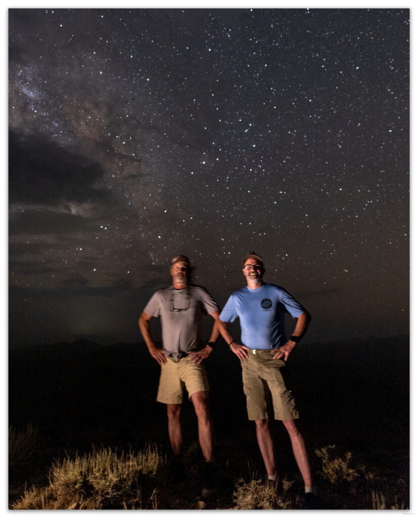
The good air at over 11,700 feet, DCraig on Arc Dome, Toiyabe Range, Nevada. Photo by Darren Young.

HP #83 Collection

Keep going.

Please respect the natural and cultural resources of our public lands.
#naturefirst #keepgoing

  • « Go to Previous Page
  • Page 1
  • Interim pages omitted …
  • Page 7
  • Page 8
  • Page 9
  • Page 10
  • Page 11
  • Go to Next Page »

Trail Option

Copyright © 2026 · Monochrome Pro on Genesis Framework · WordPress · Log in

  • Contact TrailOption
  • Substack
  • Waypoints Bibliography
  • Young Archives