• Skip to primary navigation
  • Skip to main content

Trail Option

A personal geography of landscape and place, art and geo-science.

  • Home
  • TrailOption Blog
  • WayPoints
  • Galleries
  • About
  • Contact TrailOption
  • Subscribe!
  • Show Search
Hide Search

Nevada

Landscape Photography: Overland in Nevada’s Carson Sink

D. Craig Young · December 20, 2020 · 2 Comments

The Carson Sink is the terminal basin of the Carson River, draining from the Sierra into western Nevada. The sink is also, at times, the terminus of the Humboldt River; in years of high winter precipitation, the combined flows can result in an expansive, shallow lake in the typically barren sink. And yet, even in dry times, the Stillwater Marshes — a National Wildlife Refuge — reach into the basin at the delta of the Carson River. The life-giving and ever-changing wetlands have been the homeland of North Paiute people and communities for millennia; the still are.

Although the sink is relatively close to home, I have spent more time in the surrounding ranges and valleys than I have looking into the vast desert basin. I am beginning to take a closer look at the landforms, their timing and process, of this distal basin and an overland journey and geo-recce was in order. A pre-holiday storm dominated the forecast, so there could not be a better time for this trip.
North sink.

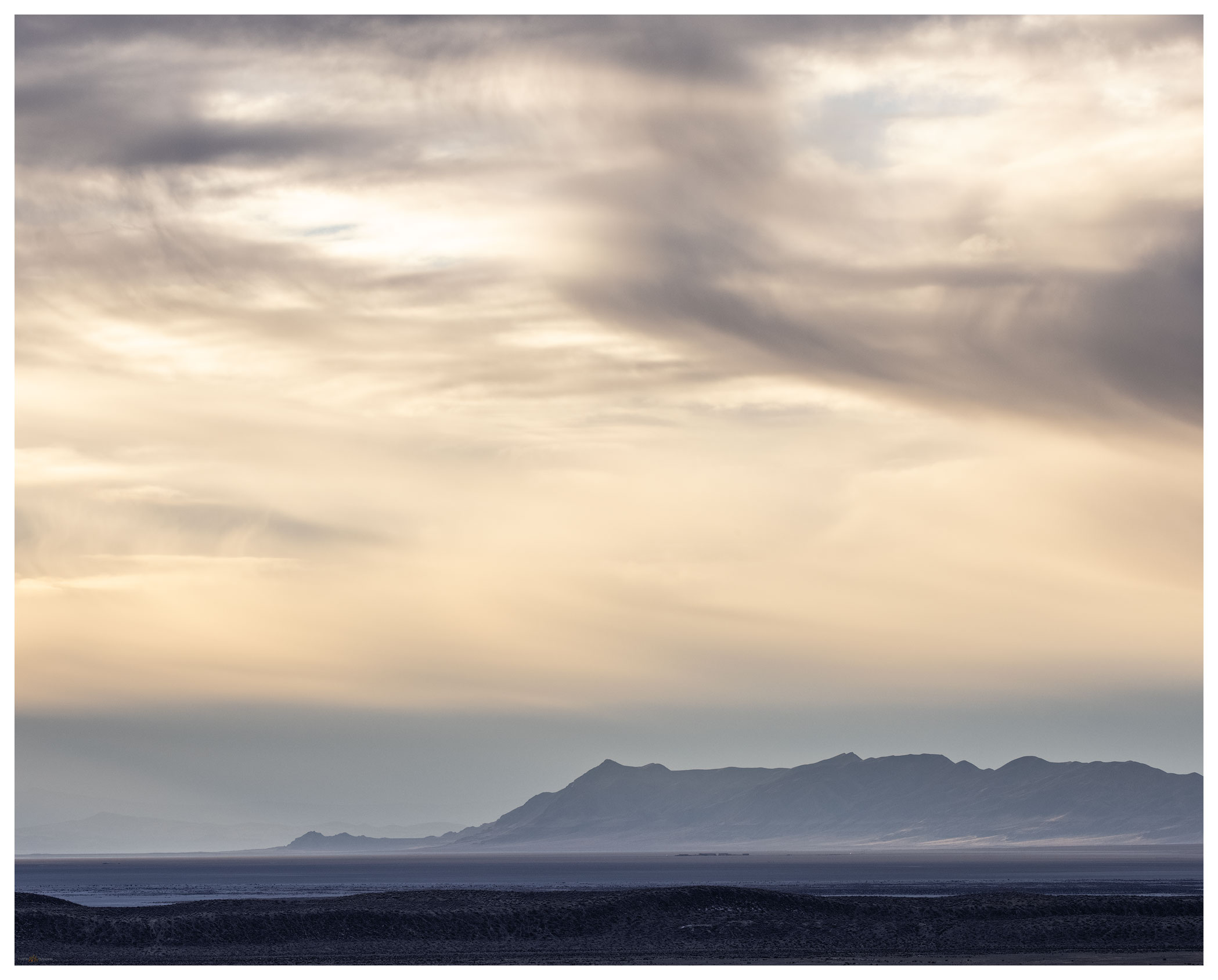
Darren — my brother — and I turned off Highway 95 and onto the dirt track on the northern margin of the sink, along the toe slopes of the West Humboldt Range which separates the Carson and Humboldt drainages. The blue sky seemed to hide any evidence of the coming storm. Our traverse took us across desert fans where dusty badlands intersected the soft, effervescent playa of the former lakebed. We were alone and would be for the next few days.
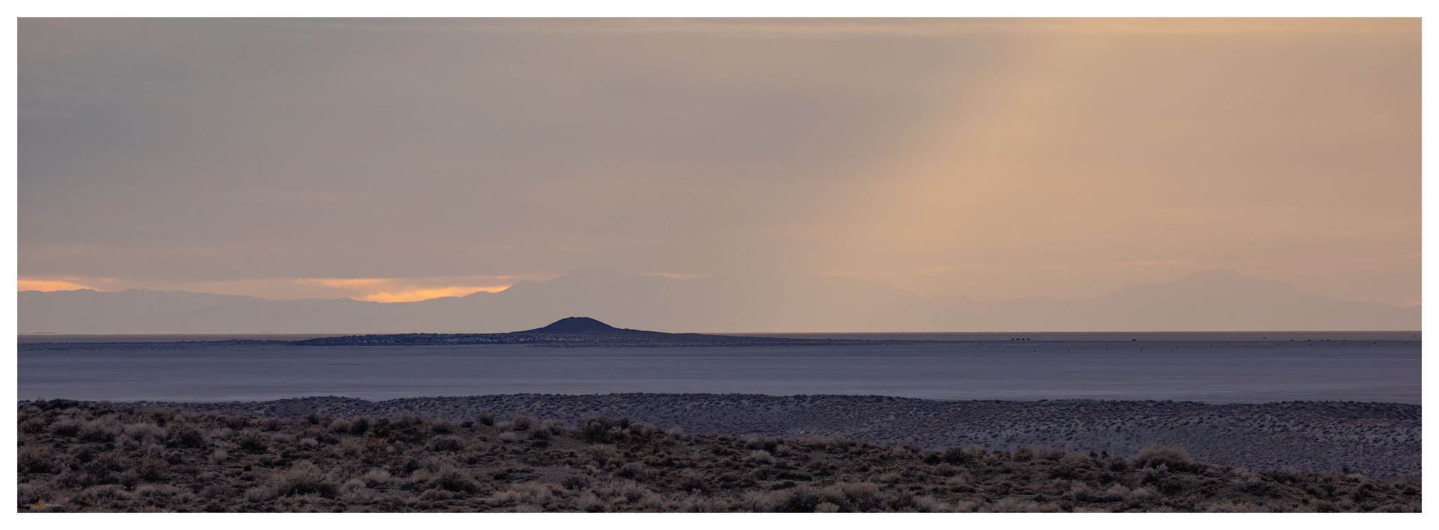
Lone rock light.

Carson Sink Collection

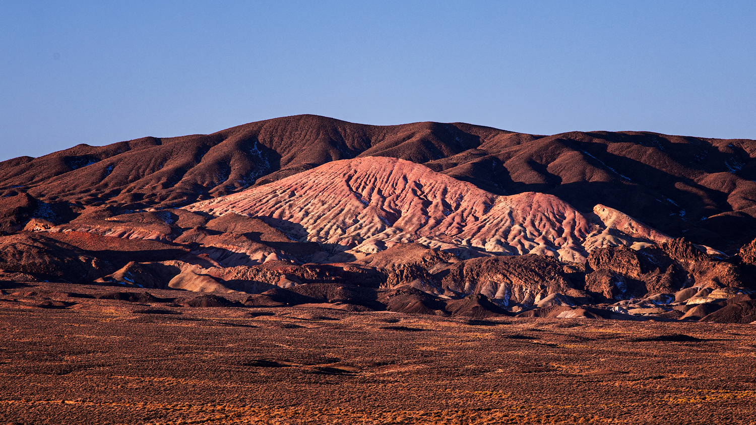
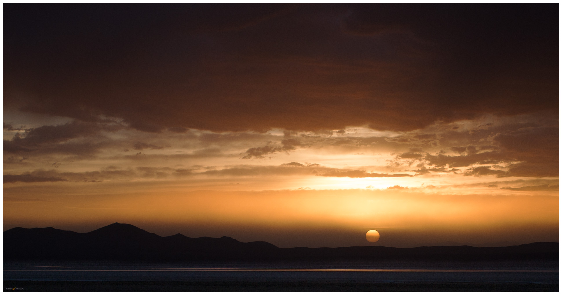
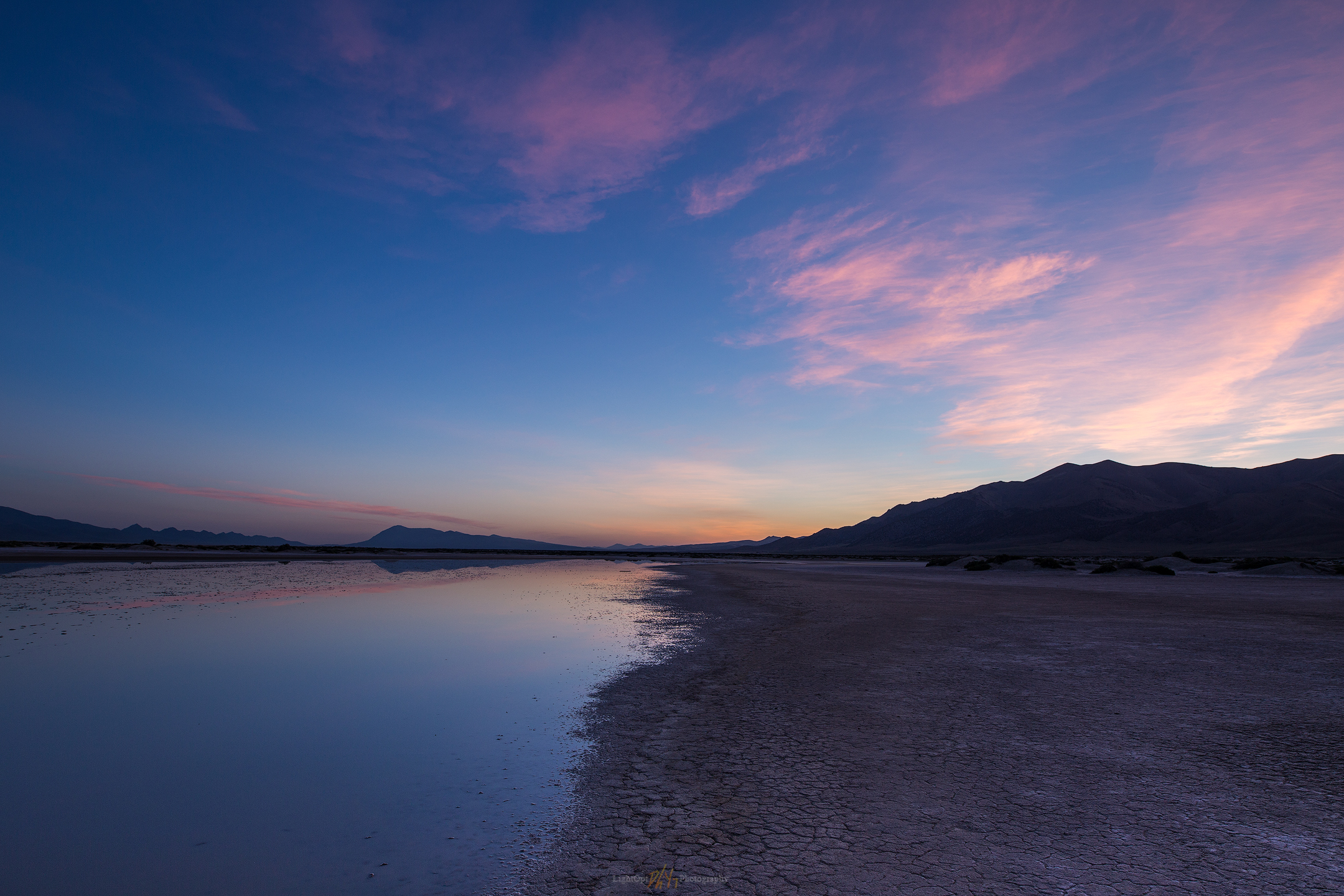
We set camp south of Chocolate Butte on a series of bars and berms formed when Pleistocene-age, pluvial Lake Lahontan cut into the Buena Vista Hills. Our perch provided an overlook of the western sink with Lone Rock, a buried volcanic plug that protrudes from the playa, rising like a beacon. The landform, so significant to the Paiute people, captured our attention with sunset and at sunrise following.

Lone one.

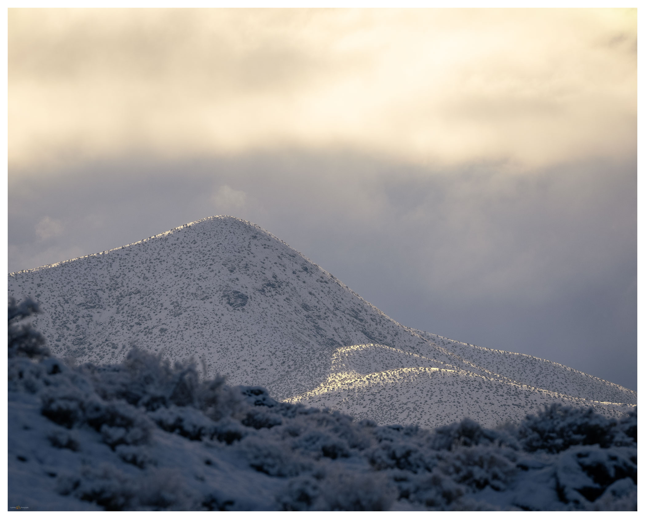
The snow came in the night. Hearing the quiet that sometimes hints at morning fog, I looked out of the camper to see three inches of new snowfall. The desert landscape was now a white expanse, a few dark hills standing in relief. We wandered the old lake strands and berms under dramatic clouds with fog-laden breaks underneath.
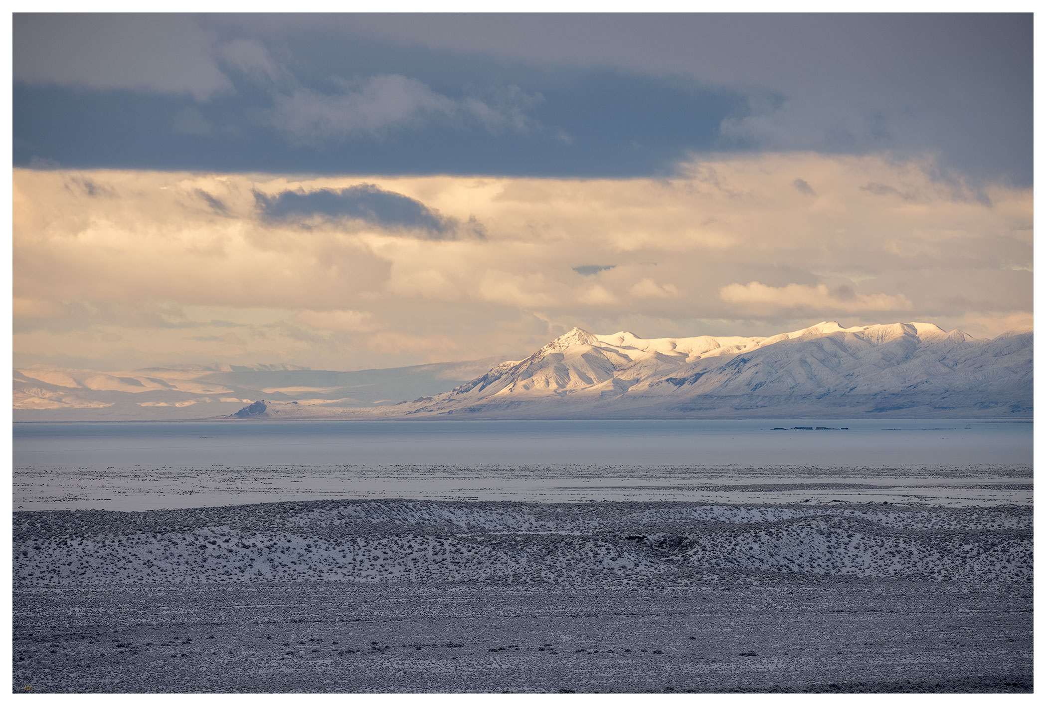
Long view of the West Humboldt Range across the snow-covered playa of the Carson Sink.
Strandline snow.
Early light.
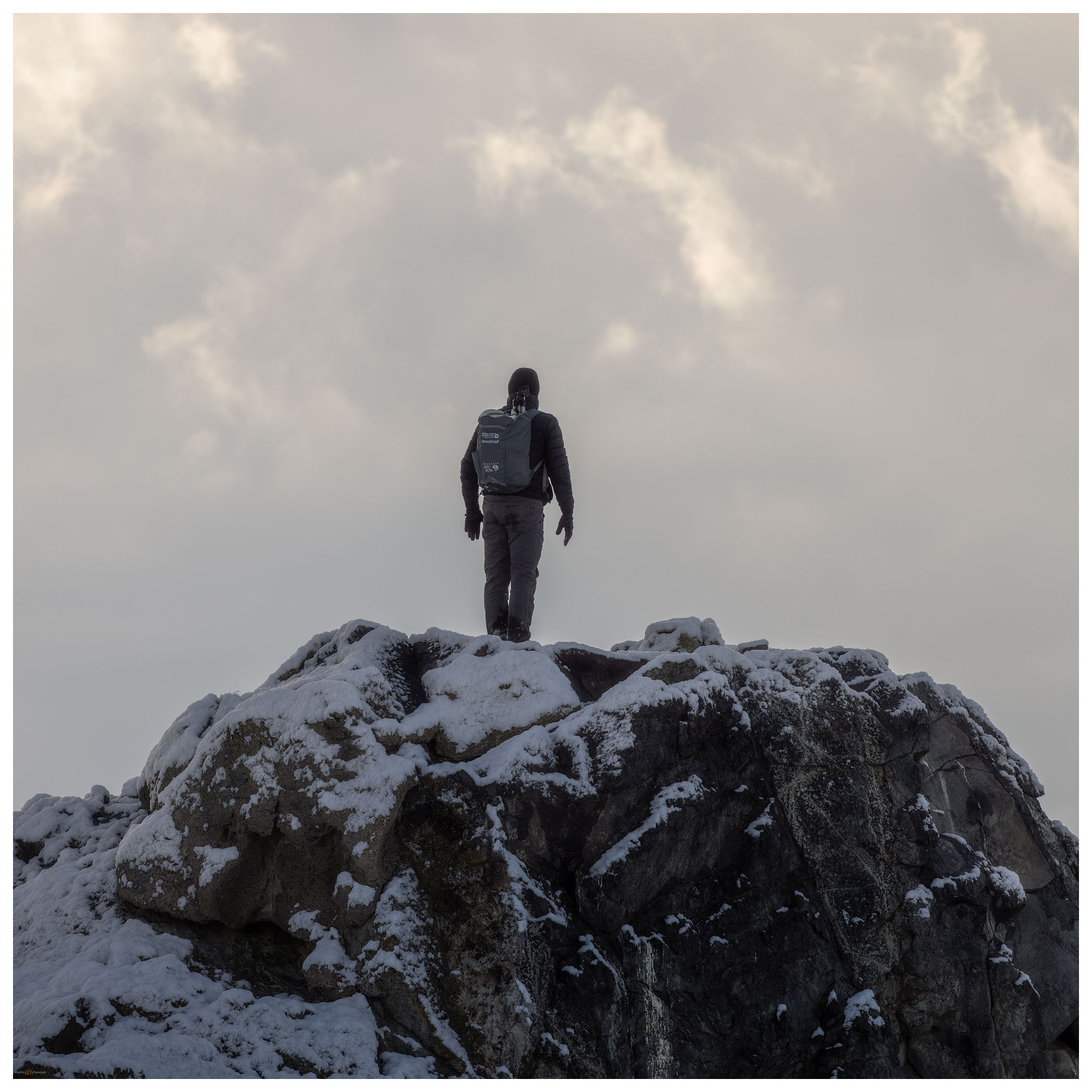
Darren at sunrise.

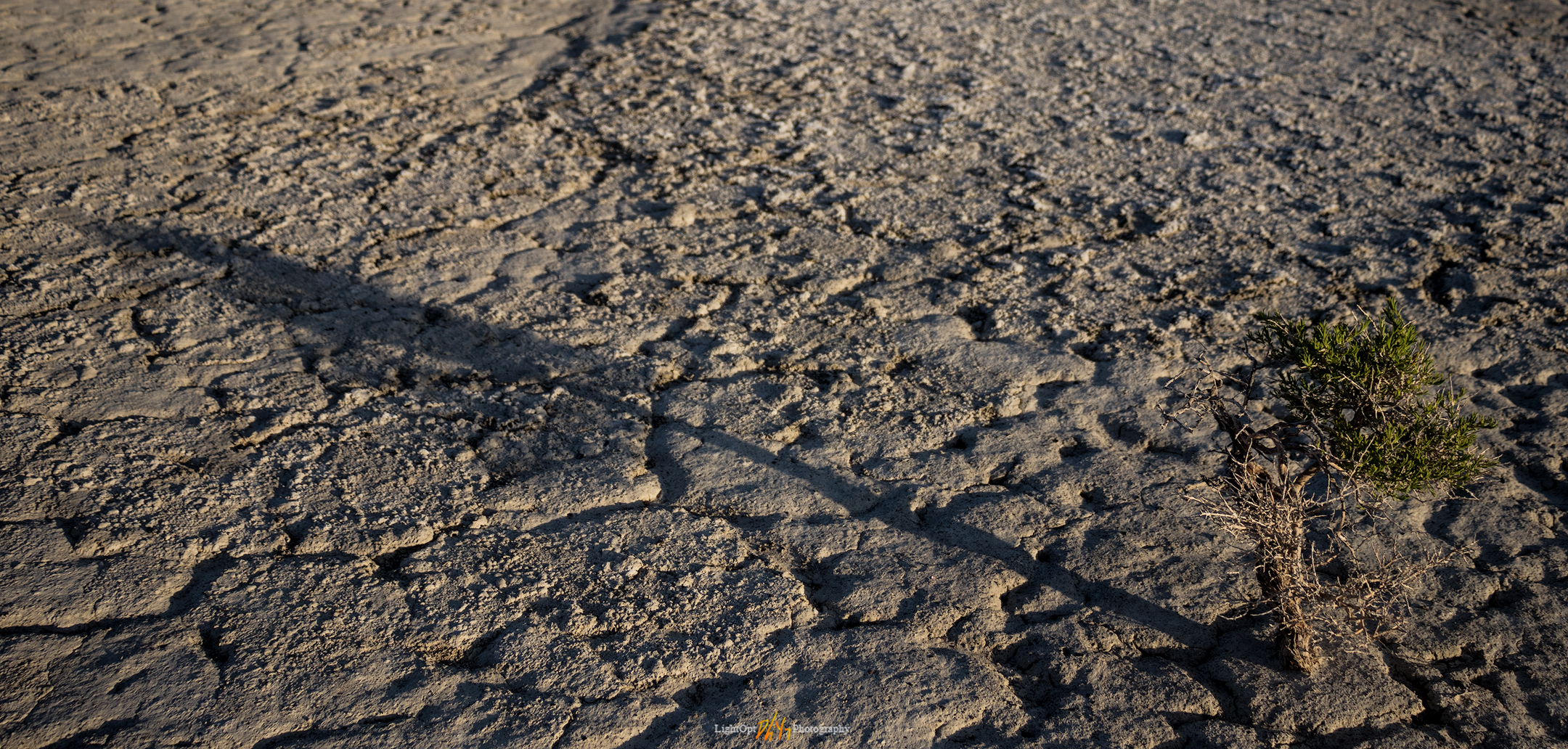
The squalls seemed to be breaking up by mid-morning. Under clearing skies we made some breakfast on the skottle, re-loaded our coffee, and secured camp for the day. It had been many years since I had traversed the western bajada of the Stillwater Mountains — the bajada formed of numerous alluvial fans emanating from the many canyons along the mountain front. The coalesced fans form a two-tiered apron below the mountain and lead to a sand dune that piles and re-piles along the margin of the playa. Wind transports sand, momentarily paused in the dune-form, but water is the sand’s source. The delta is downwind where the river, mostly the Carson, sometimes the Walker, and maybe, though long ago, the Truckee, delivered sand to the fluctuating lake. The conveyor is still operating, but it has been running on little energy since the Pleistocene. Southerly winds, with the occasional redirection of a north-westerly storm pulse, push the sand to the valley margins. Starving for sediment, the dunes are now their own sand source, with new parabolic racers leaving exposed dune-core badlands in relief. Traversing the high sand faces and walking quietly through the skeletal-core, we soon encroach the playa expanse.

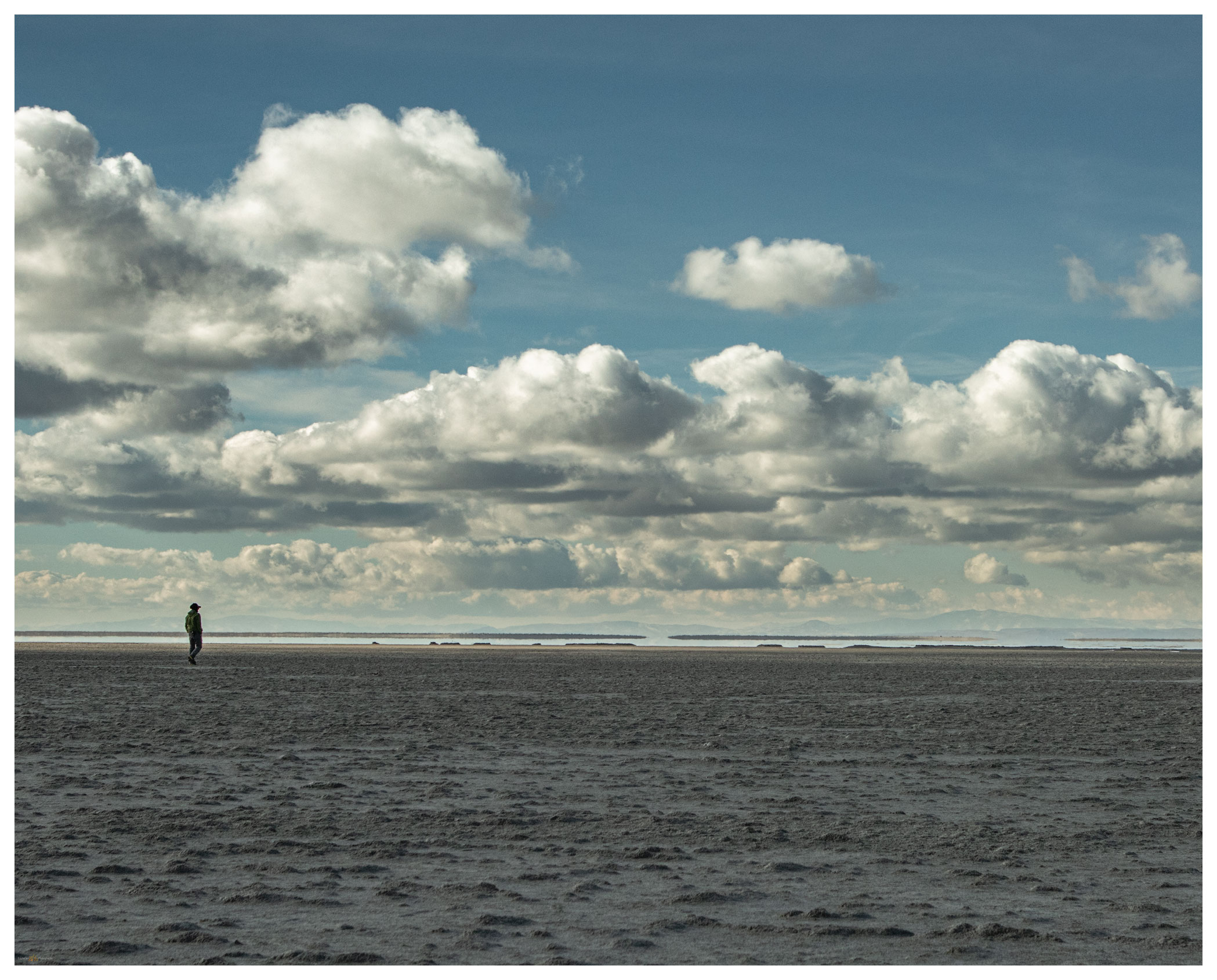
Dune core badlands.
Checking the level, Carson Sink, Nevada.

Our second night is long and cold. The darkness of the Winter Solstice is almost upon us; nightfall is early and we pass the long hours of the evening with a camp dinner and a quiet fire. The Geminids meteor shower teases disappointingly, so we share stories and plans for the new year — ways to make the most of our time in the pandemic. Outback travel continues to seed hope and heal with a bit of distraction.

Carson Sink Collection

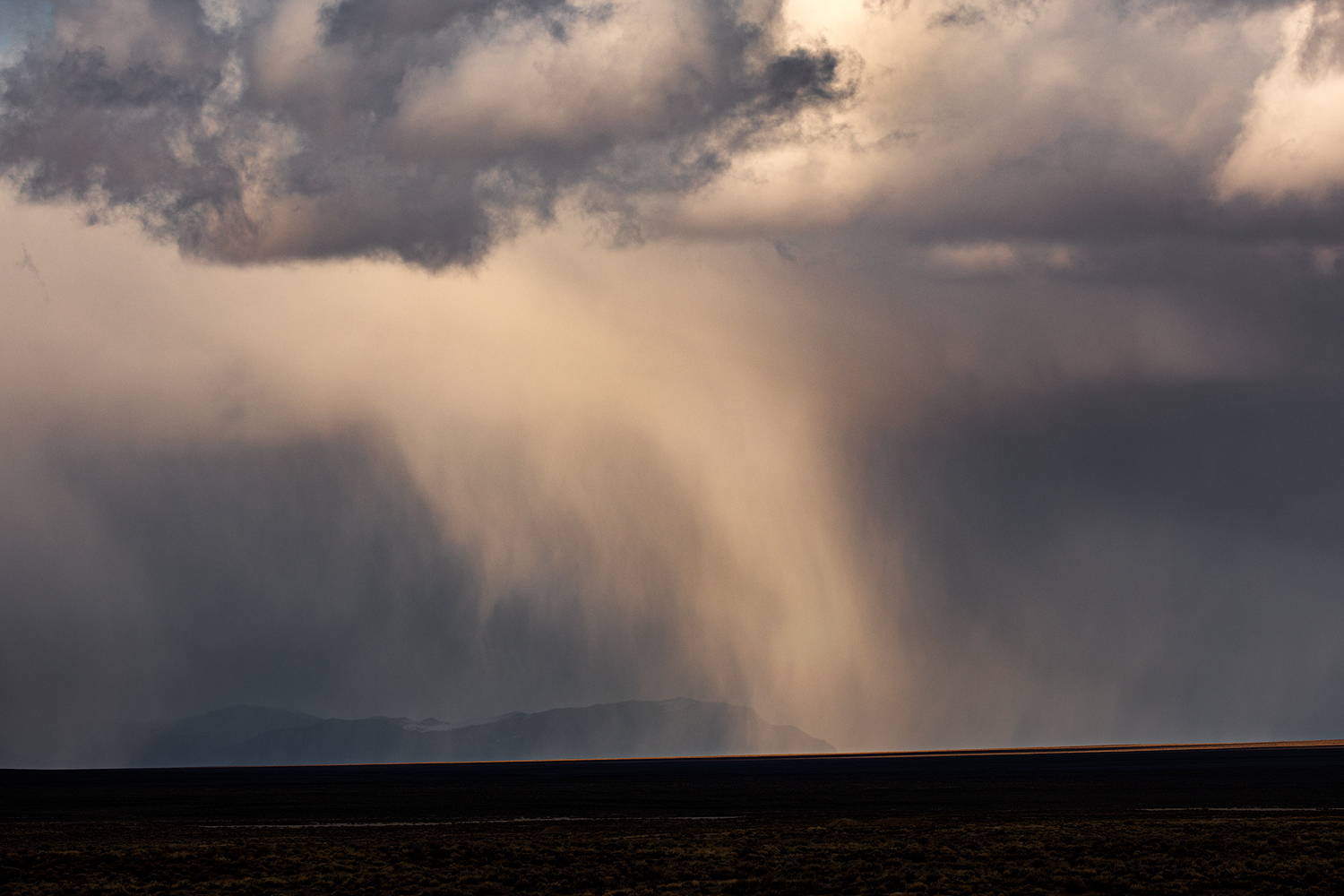
A second storm approaches on Sunday morning. We pack camp and continue southward; today entering the east side of the Stillwater Marshes so that we can cross the delta from east to west before once again hitting the highway. Rain squalls come and go as we traverse the silt dunes of the North Road and finally venture into recent snow-cover at Papoose Lake.

I will have several field seasons of work coming in the geography of the Carson Sink. This refresher overland re-set my thinking and provided a new foundation for investigating the open space surrounding that vast playa.

Keep going.

Please respect the natural and cultural resources of our public lands.
#naturefirst #keepgoing

The Crater to Ione, NV: The resolution of ‘Second Friday’

D. Craig Young · January 13, 2020 · 2 Comments

It is a new year, 2020. I thought of doing a retrospective of last year’s favorite journeys and images. “My 12 Best Photos”, calendar-like (to follow a theme), or something similar. A look back, however, reveals several gaps in my photography journey. Those gaps opened as my vocational world (not too mention much of our national and global community experience) encountered turbulence. I turned to field studies and photography as escapes – I had many good field sessions, but they were escapes, nonetheless. Not escapes from the management attention that my business requires, but escapes as relief and rejuvenation. So, leaving the turbulence behind and motivated by it, I am looking forward to a new year and another trip around the sun.

What were the gaps? I had one new blog post in 2019 and I basically avoided sharing either images or field observations on social media. The latter does not bother me all that much, the pitfalls of social media are best avoided. The former is a strange conundrum.  I very much enjoy the blog medium. I spent considerable time with new formats and published several blogs based on journeys that took place in previous years; I still have a few drafts in the works. I kept thinking I would catch up eventually. Still, that is ‘looking back’; this is about looking forward.

Clayton – Ione Collection

Friends, family, and colleagues know me as a scheduler. I keep a detailed calendar charting my day and keeping time for the various things I consider significant. Do I stick to it?  Some days or weeks are better than others; I have never, however, considered any calendar as legally or emotionally binding. Other than engagements or appointments I should not miss, it is generally aspirational. But it is very structured. When I do stick to it, there is pleasure and satisfaction there, and, as a result, when I realize a successful calendar, I find I get things done.

A given workday, for example, has ‘Prime’ tasks and ‘Focus’ tasks. During ‘prime-time’ I allow disturbances and it is about collaboration and teamwork; it usually takes up the mornings. I turn off phones and email during ‘focus-time’, picking a specific project for the day or week that needs or can benefit from undivided attention, typically several hours in the afternoon. Field work negates the schedule for a while. Hey, it is fieldwork, that is why I do this!

My wife and I have a pretty simple home life, and I am not one to separate ‘work’ from ‘play’. I can and do unplug, but I am fortunate (I think) that my interests intertwine, mostly to mutual benefit. Like the workday, evenings revolve around a few key, calendared activities. Mondays and Tuesdays are about geoarchaeological research, notes, or projects that don’t get time at the office. Thursdays are for photography – processing, printing, and study. Other days I let randomness have its way, and I do not berate myself if the occasional distraction rips the day from the calendar.

So, what is this about? This is something of a forward-looking resolution and promise to me – discipline and practice around growth in my photography and my geoarchaeological science. It is all about the weekends!

I will call them ‘Second Friday’ and ‘Fourth Friday’, calendared and planned weekends of each month. Second Friday marks a monthly field trip, getting out on the ground with emphasis on areas where I have research interest and where I can bring my photography to that setting and topic. I head out on a Friday with a geography in mind and camp through the weekend. I might make a basecamp, or I could ramble on a reconnaissance of roads and trails untraveled. Fourth Friday begins a local weekend focused on practicing my photographic skills. I might chase golden light in the mornings and evenings, forage for images on a quick daytrip, or simply hunker into intensive processing or printing sessions. I may break from the focus to see to chores, of course, but the weekend revolves around a photography theme or themes.

Will this work? We will see. With this blog post, it is January’s Second Friday and I am in Clayton Valley, east of Tonopah, NV.

The Crater.

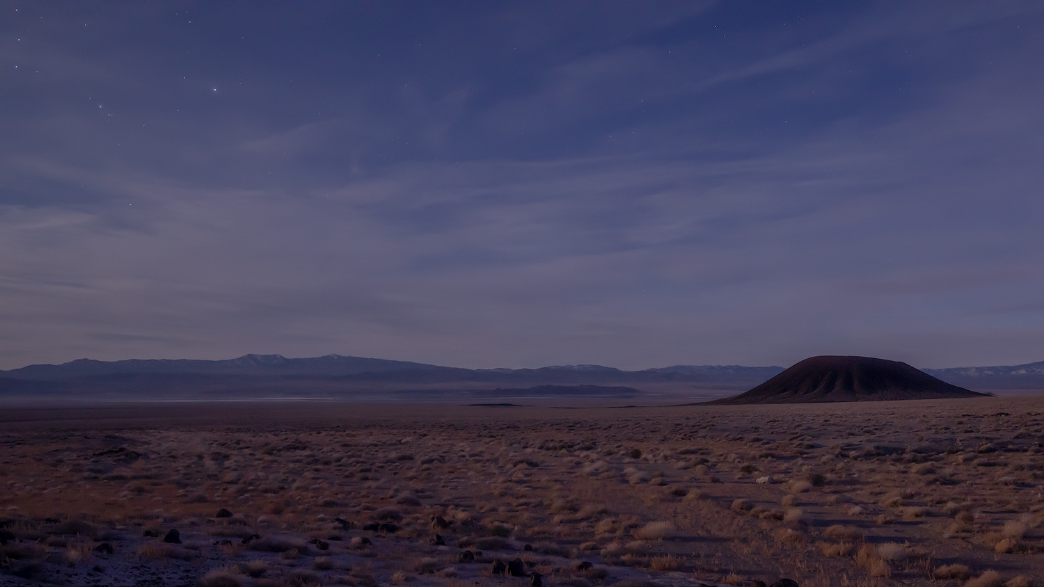
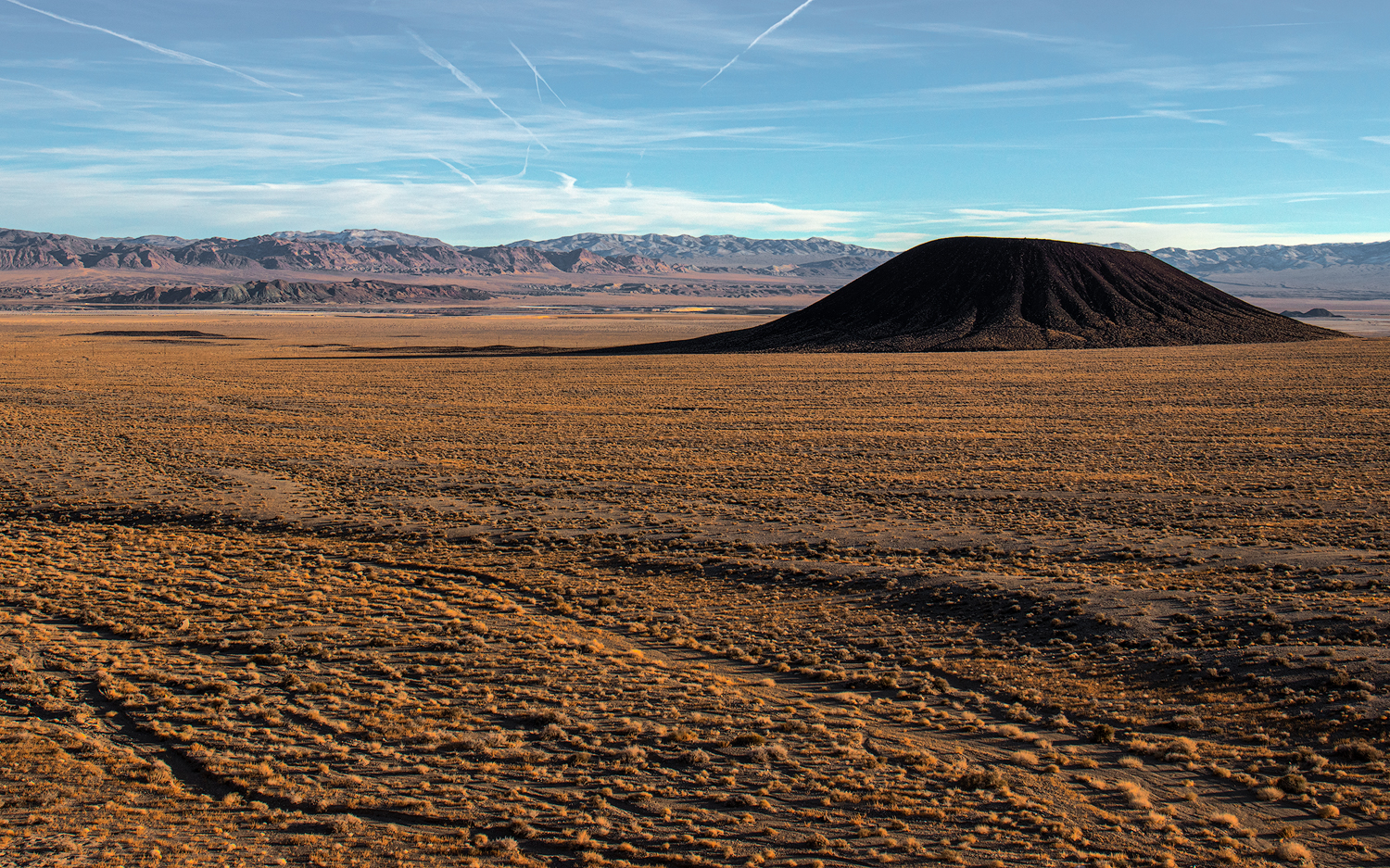
The Crater rises from the Pleistocene-age, coalesced alluvial fans that stream from the northeast margin of the Silver Peak Range. The fans engulf the volcano, but it rises in the classic composite cone, weakened only along its east side, where lavas poured into the valley, leaving black scoriated lobes paralleled the later flashy flows of the ever-reaching alluvial fans. Hwy 268 is one of the few remaining paved roads in Nevada that I have not explored, and while planning the field excursion The Crater is a highlight of my Google Earth flyby. This is where the weekend begins.

The Crater at Dusk, Clayton Valley.

The weather is perfect. There are rumors of a coming weak storm system, but the sky remains placid, the sun unduly warm for early January. I climb The Crater and explore its blown-out center; I continue southward to circum-navigate its perimeter. The walk is crispy on the young volcanic pumice and scree. Dust profiles on the cone’s south slopes, downwind of the Clayton Valley basin-bottom playa (today a focus of Lithium production), are fascinating. Fine-grained sediments always attract my attention.

Moonlight Crater, from the Monocline, Clayton Valley, NV.

I drive about a mile north with the approaching evening. Some basalt-capped badlands, called The Monocline, provide a stage for sunset and moonlight photography of the dark volcanic crater against the light-colored desert fans. It is the composition I visualized for the evening practice. The light is subdued, but I enjoy the quiet evening and the invitation of the full moon.

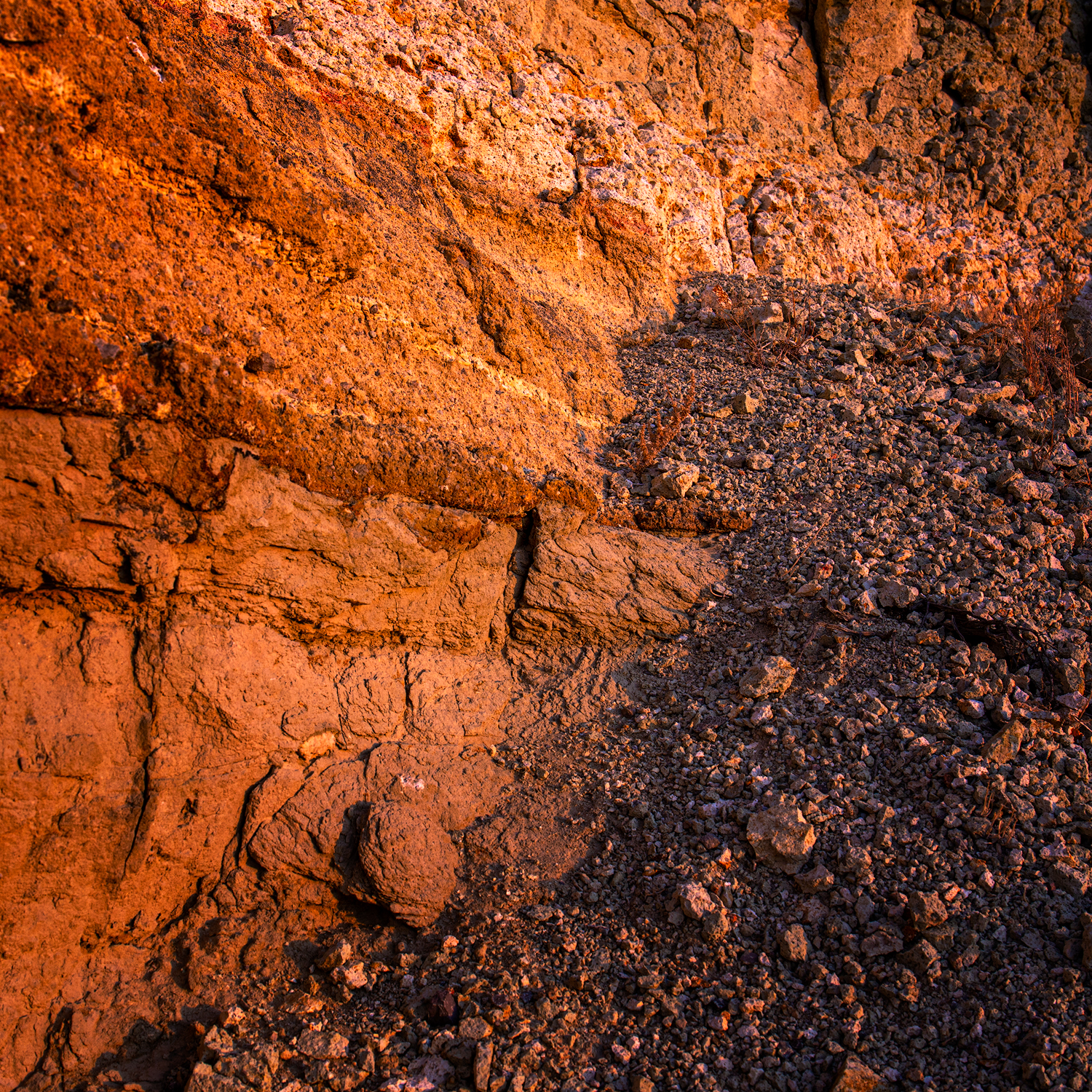
Tuffs in badlands of Black Canyon alluvial fans.

Camp is a non-descript wide spot at the intersection of cardinal two-track roads in the middle of the Black Canyon fan extending from the Silver Peaks. I am in the Big Smoky Valley drainage system now, but only a short distance north of the low pass to Clayton Valley. With the sunrise I detach the trailer and scurry in the ZR2 toward some badland outcrops far up the fan. The roads cut into the desert pavements and it is a short hike to Miocene badlands where ashflows and lakebeds encapsulate occasional pockets of petrified wood. Clear sky sunrise with few clouds. I am enthralled by the expanse of fans with inselberg islands of partially buried outcrops revealing remnant landscapes, but how to express the expanse and document the temporal incongruities through photography? I will return again and again.

Remnants. The volcanic outcrops of Black Canyon, Silver Peak Range, NV.

Circling toward Ione via the Gabbs Pole Line road, the forecasted squalls finally intersect the weekend. There is a bit of drama in the sky as I drop into quarry pits and arroyos to walk fine-grained profiles. There is temporal information in the sequence of ancient soils separating deep packages of gravelly Pleistocene alluvium and Holocene dust reworked into the basin as loessic alluvium. The Ione Wash arroyo is fantastic, a deep slice along the axis of this vast inland valley. I walk the profiles searching for fire histories, volcanic ash, and soil formation, hoping for an archaeological trace from the basin’s past.

Ione Valley Squalls.
Misty Mountain.

I camp by the roadside where I can photograph the squalls sailing through the Paradise and Shoshone ranges. Few flurries hit camp, but the evening is a pleasure, the trailer is warm, and I sleep well. The morning is clear but for some scudding clouds on the mountain tops. I tour homeward, joining traffic on Hwy 95 until skipping south at Yerington. I’m home in the early afternoon.

Last squall.

Clayton – Ione Collection

This is the pleasure of the weekend of Second Friday in all regards. I had some targets highlighted as little more than excuses to get into new landscapes where I could consider the natural setting and its process. I augmented my taste of dirt with the slow build of landscape photography, choosing a few scenes to maybe tell the story of the traveled stage. This is how planning, and a calendar, brings discipline that ultimately evolves into the pleasure of an outback journey and experience.

Keep going.

Bighorn and Dragons

D. Craig Young · June 29, 2017 · 3 Comments

I left StoneHeart about 9AM, a little later than I hoped to. Packed and ready for another opportunity to work on the Old River Bed Delta in the Bonneville Basin, Utah. Leaving Carson City, I worked my way eastward on Highway 50, fueling at the usual spots–basically the only spots. Traversing the heart of Nevada, Highway 50 has the moniker of The Loneliest Road in America. I will tell you straight up, it is no longer that, and I certainly know lonelier roads, but it remains one of my favorite drives. I choose it over Interstate 80, to the north, every time.

And yet, the lonely is still here if one seeks it. The old highway over Carroll Summit, now Highway 722, toward Austin has the feel of the Loneliest Road. So 722 it is; longer in distance and time, but it is almost always my choice. At Buffalo Canyon, just beyond Eastgate on the slopes above one of my favorite arroyos in the Great Basin, four Desert bighorn sheep (Ovis canadensis nelsoni), ewes and juveniles, cross the highway and climb away from the flowing stream. I pull off around the next bend in the pavement and grabbed my 80D and the 70-200mm. I keep the 80D and telephoto ready in the cab for sightings such as this. The camera’s APS-C sensor has a crop-factor of 1.6, so I gain some telephoto reach over my full-frame camera body—I think the 80D and 70-200mm lens is a wonderful combination for these situations. Leaving the truck, I slowly but deliberately walk down the road. The sheep are skittish, but they only walk further uphill; a ewe and a yearling lamb hang back. The temperature is climbing quickly, and it seems they really want to get to the water in Buffalo Creek. I do not want to impede them, so I walk back to the base of a road cut and colluvial apron nearer my truck, noticing many tracks and trails along with another group of sheep just above me. I shoot few images but feel shaky trying to get a good shot with the long lens. Looking back at my images, I forgot to increase my ISO so that I could go with a faster shutter to minimize camera movement.

Bighorn and Dragons Collection

Curious pair. 1/320 sec, f/8, ISO 100; Canon 80D, 70-200mm.

As I return to my truck, I notice the lower pair following me. I drop to an old two-track road along the creek, take a seated position behind a greasewood, and wait. Now I really notice how hot it is. And wait. The pair eventually appear at the edge of the pavement above me, cautiously peering over the edge toward the stream. They must know I am here somewhere, but they have lost track of me as I hoped. Finally, the youngster, a ram to-be, trots across the dirt in front of me and I get a nice image. But my camera movement alerts the ewe to my location and she bolts toward the creek. I miss that shot.

A young bighorn heads to the creek. 1/320 sec, f/8, ISO 100; Canon 80D, 70-200mm.

Nice to have been patient and get a small reward with the image of the juvenile ram. I quietly return to the truck and let them be. I decide to keep the camera ready. And good fortune because a good-sized ram crosses in front of me.  Because this route is not travelled heavily, I can simply stop in the road and shoot few images of the ram on the hillside. He walks slowly upward and I get a couple good exposures, though the hand-held sharpness is probably lacking. (Definitely lacking, again, needed higher ISO to get to faster shutter speed.)

The leader. A Desert Bighorn ram tracking his group. 1/400 sec, f/7.1, ISO 100; Canon 80D, 70-200mm.

I spent the remainder of the day traversing the state—Austin, Eureka, to Ely. Turned north at Ely to head to Wendover, our lodging for the project on the Old River Bed Delta. But there is no need to get to Wendover too soon. On Alt 93 just beyond White Horse Pass, I turn east on Ibapa Road and cross into Utah. I stopped in a small playette to check out the arch or window in Elephant Rock. I took a few hand-held photos of Elephant Rock and a low set of hills to the southeast, before moving into the big arroyo below Deep Creek Reservoir. It looks like a historic-era irrigation canal pirated Deep Creek to cut a deep arroyo in lacustrine sediment of the once expansive, pluvial Lake Bonneville. The light and sky are fine for documentary images, but I’m not feeling inspired. Noting the Elephant Rock and its arch have some potential, especially for astrophotography, I drop into the drainage and enjoy a walk along the silt walls of the arroyo.

I eventually pound my way through deep dust along Blue Lake Road, at the western margin of the West Desert, arriving at Blue Lakes at sunset. As I climb out of the truck the mosquitos (Culicidae) welcome me with biting fervor. It is warm but I quickly dig out my rain jacket for protection. The ponds and its surrounding vegetation look nicely vivid against the playa. The sky is not cooperating, but the scene is still good. The mosquitos are livid that I have covered up, so they redouble their efforts on my face and hands. I get an overview I like and look for some closer images nearer the spring pool.

Desert spring. Blue Lake, Great Salt Lake Desert, UT, USA
Evening dragon. Blue Lake, Great Salt Lake Desert, UT, USA

I learned a good lesson here at Blue Lakes. While I like the image of the spring, its moist green against the expansive desert, the Evening Dragon composition may be my best image this year (this means it could be my best image ever, given I began a somewhat serious photographic approach only recently). The big light was not inspiring me, but by focusing in on smaller scenes, I found a gem. These predatory dragons need to get to hunting; I can’t stand out here any longer. Darkness setting in and it is time to head into Wendover.

Bighorn and Dragons Collection

Keep going.

Night Landscape Photography, Dry Lake Valley, NV

D. Craig Young · May 20, 2017 · Leave a Comment

A long reconnaissance beyond Tonopah, NV, traversing south of the Reveille Range and into the playa of southern Railroad Valley. I located good access to the playa of Sand Springs Valley near Rachel and then moved on to Alamo, NV, to check in at a small motel. It’s a small strip motel, family-owned, old and a little sad, but really pretty nice. Right on the noisy highway but room is set back and perfectly quiet. Vern, the owner/manager, said I might be able to park my trailer if we are working nearby, he has one hook-up that sometimes works.

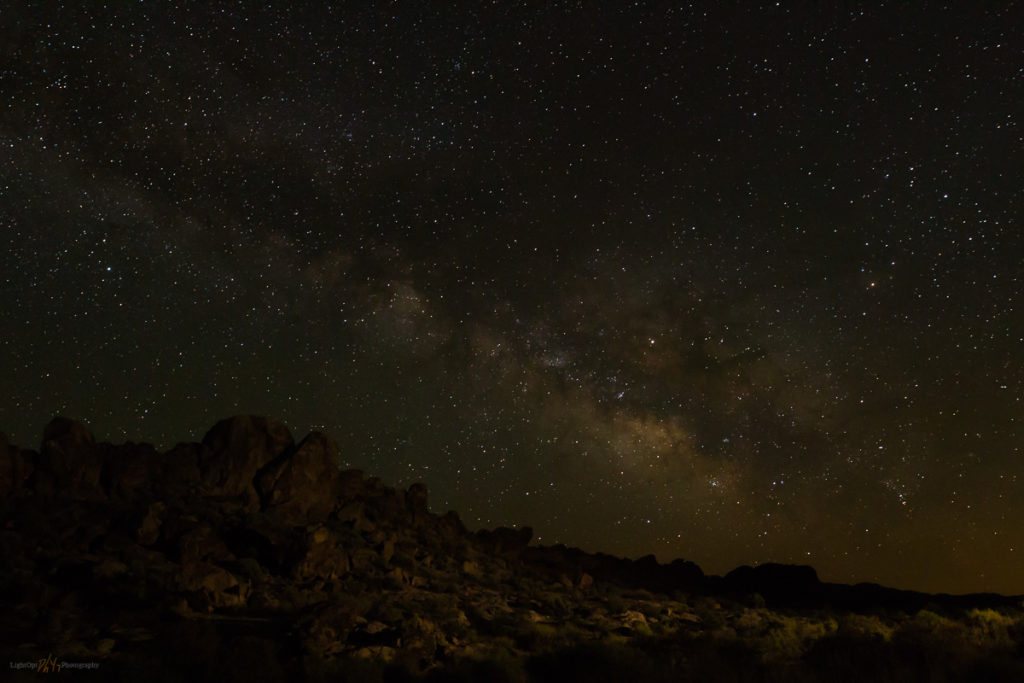
It’s close to the new moon so I headed out to Dry Lake Valley late in the evening. I left the hotel about 9:45PM, fueled up, and pointed the truck down the dark highway. I’m in the area mapping and investigating desert loess (fine-grained dust) deposits and had scouted out a cool spot for astrophotography earlier. I liked the spot because of the prominent outcrops that extend toward the valley floor. These would provide the foreground subjects as I experimented with low-level lighting to illuminate the outcrops, alcoves, and even some ancient rock art panels.

The drive was longer than I remembered, and I overshot my turn with a big-rig bearing down on me. After a quick turn-around, I was there. A perfect, calm evening, finally a warm one. Bats circled around me as I set up some lights. From the rocks above me, in an alcove beyond the rock art, a haunting songbird called in a steady repeat—once every twenty seconds. It’s probably a whippoorwill or something similar.

Dry Lake Valley Night Collection

The small tripod-mounted lights adjust to emit a very low amount of light. While composing the image the light is almost impossible to see, but in a long exposure to capture the night sky, the light works nicely to create foreground interest. I have to take several practice shots to make sure the levels and direction of lighting works. It’s more controlled than light painting and works over relatively long distance. I learned about it on the PhotogAdventures Podcast and thought I’d give it a try. I’m not an expert at this (it’s my first time), but it has definite potential.

Ancient sky. Experimenting with lighting and capturing the starry backdrop above Dry Lake Valley rock art panels. 6.8 sec, f/5.6, ISO 6400; Canon 6D, Sigma Art 20mm.
Point of Rocks. The Milky Way above the boulder outcrops was fun, but I have to seek out some foreground interest to work with these lights (and why did I shoot these at 5.6?!). 19 sec, f/5.6, ISO 6400; Canon 6D, Sigma Art 20mm.

My images don’t really pop, but I like the rock art against the starry sky. A long perfect night in the darkness of Dry Lake Valley. Tomorrow will be a long day.

Dry Lake Valley Night Collection

Keep going.

Smoke and Sunset: Grass Valley, NV

D. Craig Young · May 15, 2017 ·

I’m back in Grass Valley, NV, working with a team of archaeologists and mapping the landforms along the valley margins. I left home this morning and I always enjoy traveling Highway 50, cutting across the middle of Nevada. The highways moniker as “The Loneliest Road” has lost its romance as daily traffic increases. I do remember driving east of Fallon and not seeing other travelers until approaching Austin or Eureka. But that was over a decade ago. It isn’t a busy highway, but it isn’t lonely.

I’m pulling the camp trailer and that unfortunately cuts into the gas mileage. I can’t make it from Gardnerville to Austin – probably could just manage it, but it would be tight – so I fuel in Fallon and top-off in Austin. I also have 40-gallon reserve tank. This will allow me plenty of fuel for several days of backcountry travel in Grass Valley.

Smoke and Sunset Collection

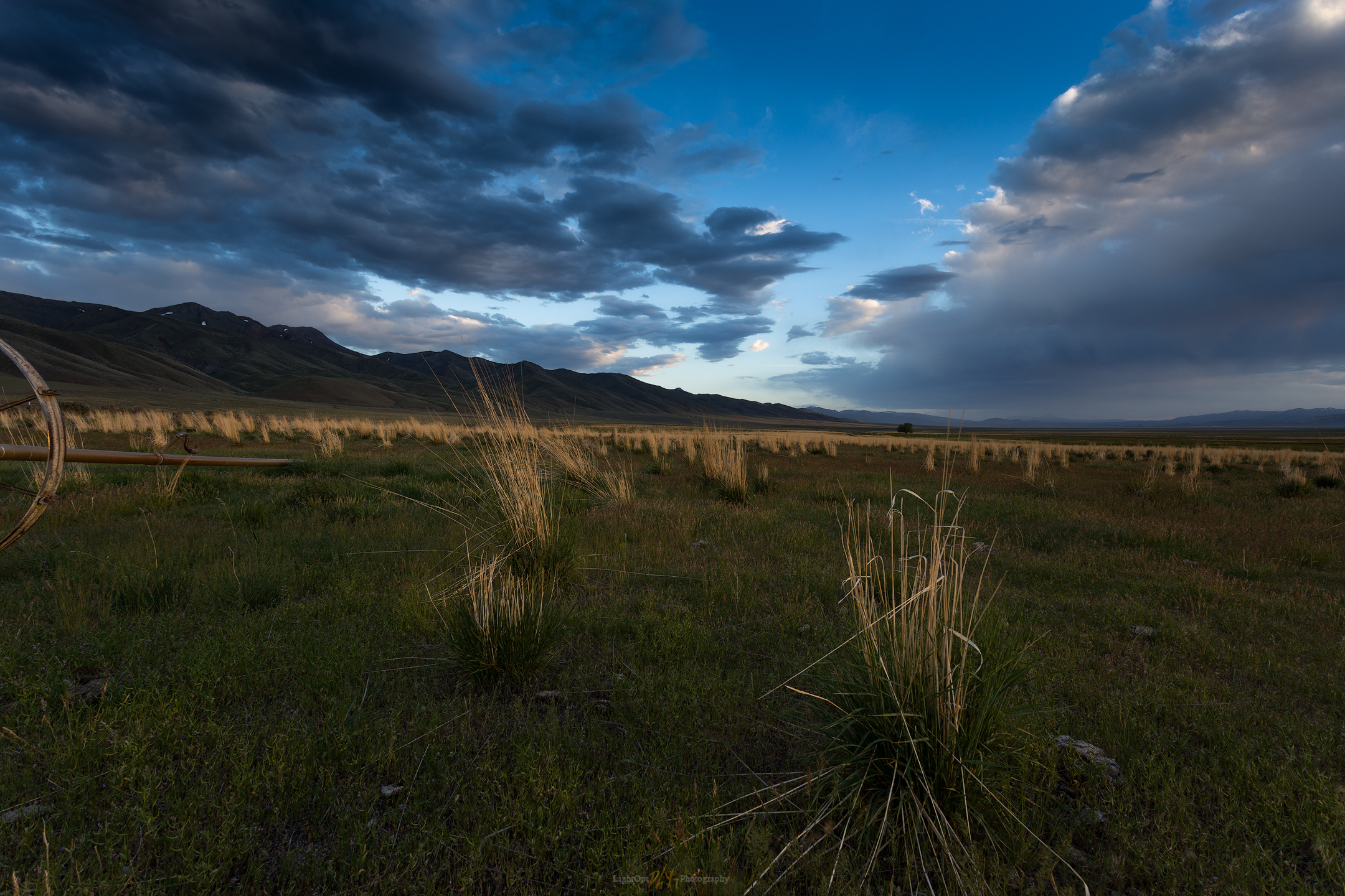
As I work my way north into the valley, I find the archaeologists surveying along Callaghan Creek. After checking in with the team, I set camp near the corrals at the Gund Ranch. I talk to the ranch manager to make sure my camp is out of the way. Out to work for the afternoon, ground-truthing my landform maps and age relationships I’d worked on over the past few months. In the evening I visited with the crew for a while and then headed into the evening light for some photography. I had often driven by a set of corrals a few miles south of the ranch and I thought it would be interesting in the developing sky. I wanted to experiment with foreground elements, here that included clusters of Great Basin Wild Rye and a piece of sprinkler equipment. Right off, I was greeted by a cloud of happy mosquitos.

Rye returns. I like the sense of scale in this image, but the foreground composition suffered from a lack of attention on my part. Neither the wild rye nor the sprinkler tell the story I’d hoped. 1/6 sec, f/14, ISO 100; Canon 6D, 17-40mm (17mm).

I’m not real happy with the image. I waited for the light but my patience, and the mosquitos, limited my attention span. I think the pasture, grass, and sprinklers would work if I took more time. Lesson learned.

Although I may have left the pasture too early, it gave me the opportunity to watch the sunset develop right in front of me. A cluster of wildfires in western Nevada provided the scene for a wonderful sunset over the playa of pluvial Lake Gilbert. The sky highlighted a shallow playa pool far across the valley, detailing the shadows of the northern Toiyabe Range. This remains one of my personal favorites, a significant image in my portfolio from early in my practice. Sometimes the space just gives it to you.

Playa fade, Great Basin, Nevada. One of my favorite images. It is easy to have patience sitting on the tailgate at camp.

I stayed up too late with the crew last night, and my alarm at 4AM surprised me. The sky looked promising, however, and I knew I needed to get to the southern playa to hopefully capture some dune pedestals in the morning light.

I need to remember to prep gear in the evening, or otherwise keep it prepped for mobility rather than simply tossing the pack back into the truck after finishing the night before. I walked the playa where the late spring pool curves between a few dune pedestals. The scene is nice in the full moon and the dawn glow is pretty good, but the clouds aren’t doing much this morning. I worked on some video and timelapse, with some intent on vlogging about the playa and its interest to Paleoindian archaeologists, but this needs practice.  For another day.

Receding dawn. The playa pool is almost as ephemeral as the colors of sunrise. 1/15 sec, f/8, ISO 100; Canon 6D, Sigma Art 20mm.

Smoke and Sunset Collection

Trying to be tall. This small greasewood casting a grand shadow caught my attention. 1/125 sec, f/11, ISO 100; Canon 80D, 18-135mm.

Keep going.

  • « Go to Previous Page
  • Page 1
  • Interim pages omitted …
  • Page 13
  • Page 14
  • Page 15
  • Page 16
  • Go to Next Page »

Trail Option

Copyright © 2026 · Monochrome Pro on Genesis Framework · WordPress · Log in

  • Contact TrailOption
  • Substack
  • Waypoints Bibliography
  • Young Archives