• Skip to primary navigation
  • Skip to main content

Trail Option

A personal geography of landscape and place, art and geo-science.

  • Home
  • TrailOption Blog
  • WayPoints
  • Galleries
  • About
  • Contact TrailOption
  • Subscribe!
  • Show Search
Hide Search

Nevada

Wildlife Photography: Birds of the East Walker River, Nevada

D. Craig Young · April 17, 2021 · Leave a Comment

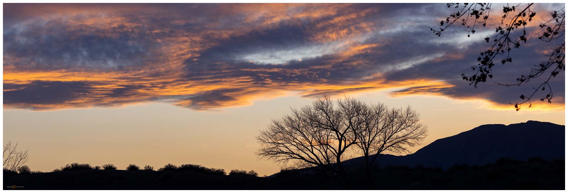
East Walker sunset. East Walker River, Great Basin Desert, Nevada.

Here is a slightly different angle for the LightOpt Photography blog. My wife and I teamed up on a quick camp trip to the East Walker River to check out birds in the Walker River State Recreation Area, a relatively new component of the state park system. I had passed by here on my excursion into the Gray Hills and thought we might try the campground for an overnight; it is only an hour from home. 

The campground sits on old pasture or hayfields of the Pitchfork Ranch which is now the visitor’s center of the State Park. The campground is wide-open space with several sites are close the river, and this evening the place looks rather full as we pull in. We do not typically do campground locations, appreciating the open public lands, but once in a while they make for an easy break – though we aren’t ever in danger of too much discomfort when out in Desna’s camping rig. Even now, with most of the camp sites taken and the crowd looking ready for a whole lot of motorized recreation, we consider heading back out of the park, into the backcountry. But we came to give it a try and quickly decide to settle into spot #10.

And then the drone of generators begins. I have never really understood the camp-need of endless power generation. We have one in our rig, but hardly find much use for it – we cooked popcorn in the just-as-useless microwave, if only to prove we could – the sound is ridiculous. I understand needing some extra power to prep dinner for a family, but the evening-long rumble from just about all camps is something we hardly bear. Anyway, I should not complain much, it is still nice to be out here, and I can look forward to the quiet of the morning, when pre-dawn quiet still reigns.

East Walker Bird Collection

I was out early indeed, wanting to practice bird photography. Des is a great birder and I have been looking forward to documenting, if possible, the various species we come across together. As I step from the camper, flocks of waterfowl are passing low overhead, their calls muffled in the feathered-beating of so many wings. It seems a good start.

I work my way into a riverbend where a grove of cottonwoods holds a Great-horned Owl pair. It is too dark to photograph, but I watch them until they move across the river and farther north. I turn and wait for a Red-tailed Hawk to move from her nest, maybe for a morning hunt, or to switch duties with her mate. I wait over an hour, as the sunrises, and only the songbirds and some Western Bluebirds pass among the branches above me. Nothing in today’s adventure of wildlife photography, but that is how it mostly goes.

Des comes across the fields to meet me, and we walk back toward the slowly stirring campground. As we pass another raptor nest, a mother Red-tail is guarding her roost, and then it is the little birds that spring to action. A Song Sparrow greets the sun and hurriedly gathers material for a nest as a female looks on. He splits time between singing for his territory and bouncing through the grass with twigs, though I cannot quite tell where they are settling in. A Downy Woodpecker gets up a usual ruckus, ricocheting from tree to tree and jack-hammering up and down the branches.

My simple favorite is the common White-crowned Sparrow guarding the fence as we enter the campground. I have a soft spot for the little passerines, the ones we see every day and practically forget they are there. This sparrow poses patiently and then drops to ground beyond the fence to forage for the sparse seeds of early spring.

I later find I had plenty of difficulty getting the focus and depth of field needed for good images. This is something I need to work toward, knowing that capturing sharp, well-composed images of fast-moving birds (and other animals) is always a challenge. I am hooked, however; and the challenge will be a pleasure in the quiet moments among the birds. Thanks to Des for sharing this with me.

East Walker Bird Collection

Bird Image List: Red-tailed Hawk, Song sparrow, Downy Woodpecker, Western Bluebird, White-crowned Sparrow. Links jump to the ebird.org information pages.

Keep going.

Please respect the natural and cultural resources of our public lands.
#naturefirst #keepgoing

Nevada High Points #81: Little High Rock Mountains

D. Craig Young · April 16, 2021 · 1 Comment

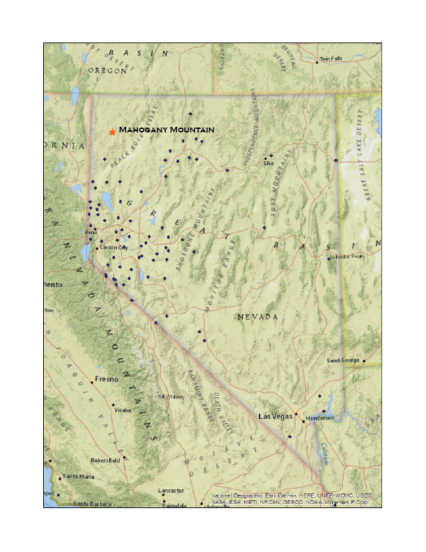
Mahogany Mountain

6979 ft (2127m) — 1510 ft gain

2021.03.27

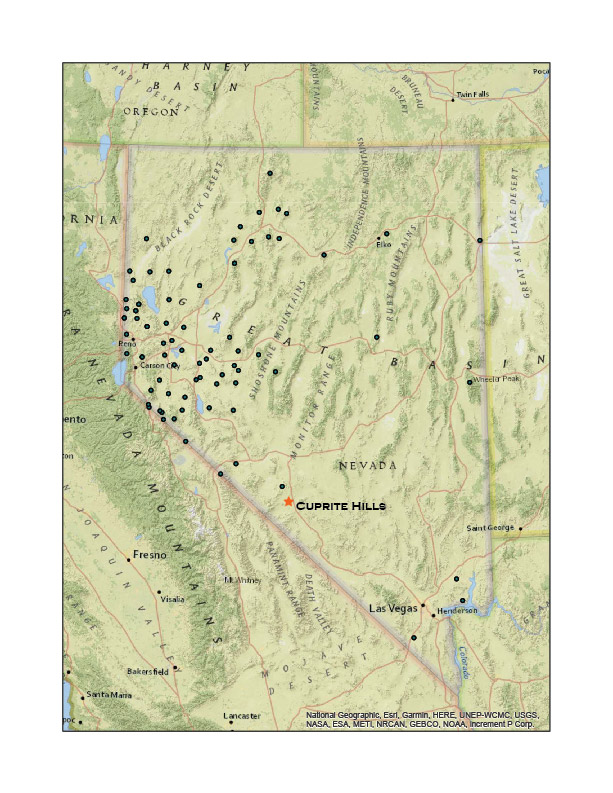
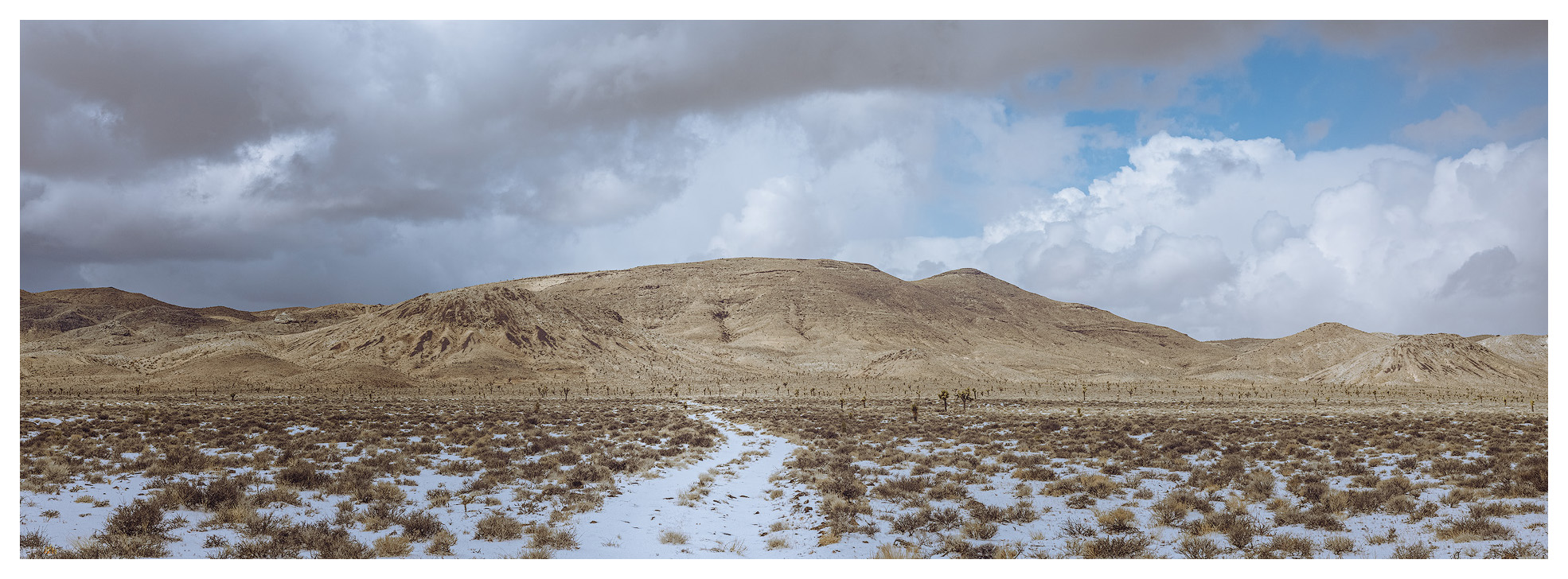
Although I had been able to visit the Cuprite Hills on the journey south, fieldwork along the Gila Mountains of southern Arizona postponed our Second Friday overland recce for March. To keep our run going, however, we took to northwestern Nevada on the fourth Friday – close enough. We traveled north, skirting the Black Rock Desert, to check conditions for spring-time fieldwork along the Buckhorn Road above Duck Flat. To our surprise, we found that winter snow-cover prevailed at the road’s summit and decided not track up the road; plus, when saturated these volcanic lithosols become soul-sucking clay when saturated, so the better part of valor is to wait a few weeks for drier conditions. We would work on my obsidian mapping project, traverse the Cottonwood Creek Caldera, and head toward Mahogany Mountain – Rowland Mountain along the Buckhorn Road would still be there later this year.

HP #81 Collection

A dramatic series of volcanic eruptions in the Miocene of northwestern Nevada, 16 to 13 million years ago, give or take, drenched the landscape with rhyolitic and basaltic lava. The driving force behind these cataclysmic events was the same magma plume that drive today’s geyser of Yellowstone. Some of the eruptions produced expansive pumice-like tuffs, many welded to solid rock, and, along with this, came extrusions of quick-cooling, glassy obsidian. The eruptions left vast calderas, with obsidian seams along margins and slopes; these filled with vast lakes as the volcanos’ hollowed centers collapsed. Cut by rivers and warped by mountain building, the calderas were deformed and can be hard to recognize today. However, the obsidian, lake sediments, and broken lava flows remain. Because obsidian is an important native toolstone, archaeologists are interested in its natural distribution because it provides significant clues to the movement, conveyance, and trade of the darkly colored glass so useful for making tools. I have long focused on studying and adding to the maps of the calderas and the obsidians they hold.

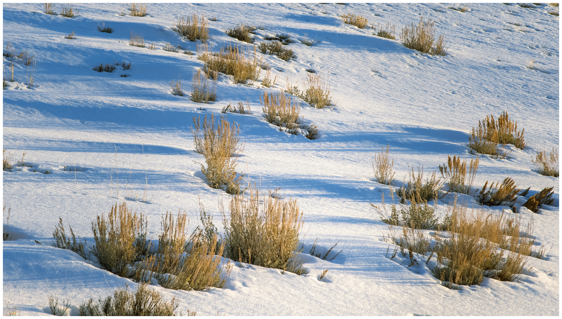
Snow and shadow. Mahogany Mountain, Great Basin Desert, Nevada.

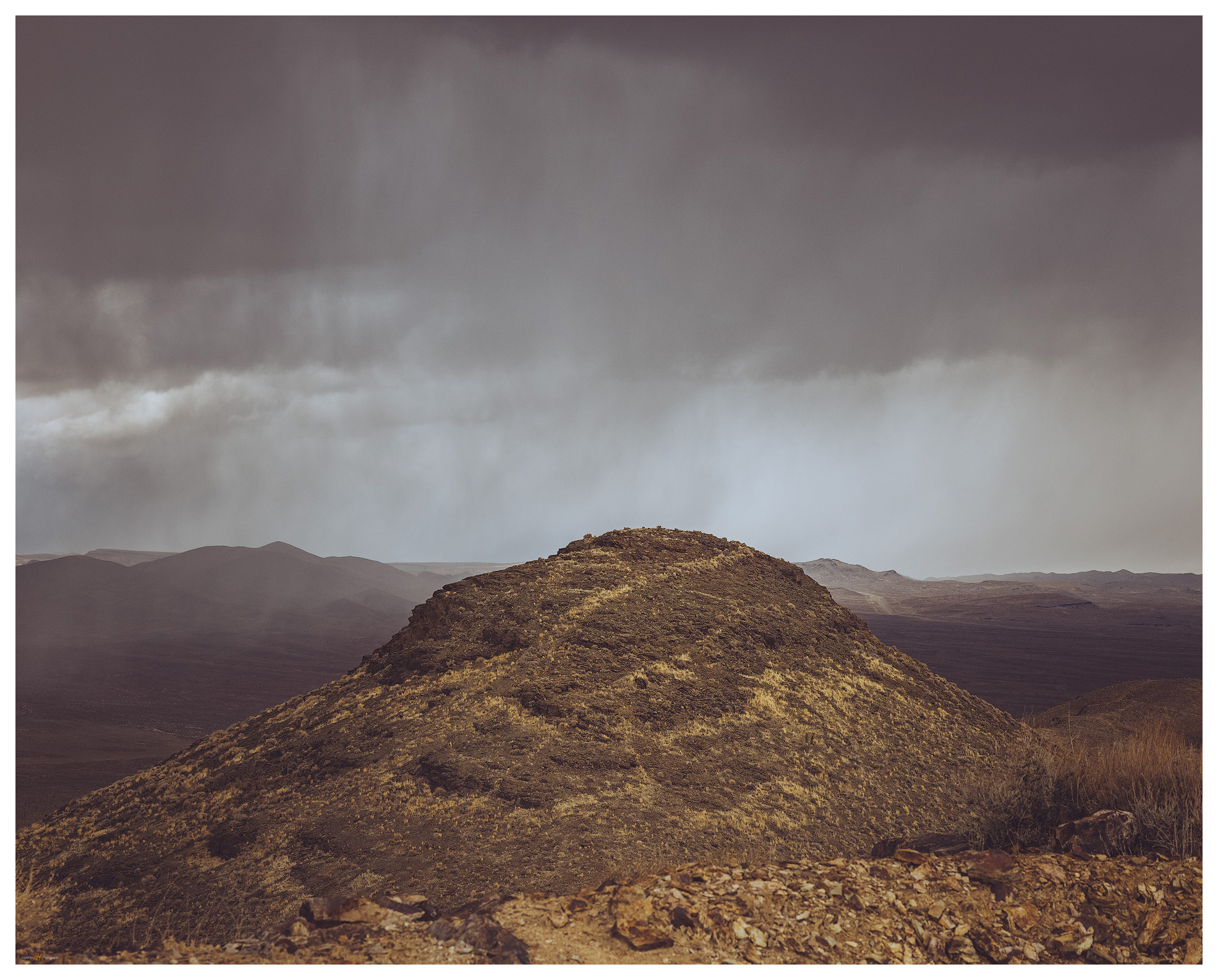
But those are stories better told elsewhere. Tonight, we are climbing through a series of rhyolitic lava flows to the rounded dome of Mahogany Mountain, the high point of the Little High Rock Mountains. We had traversed an old two track until a spring-bog stopped us. This was fine, we were less than a mile from the wilderness boundary and, because this is not a high mountain, we needed some distance to get some elevation. Intersecting another two-track, now hiking along the wilderness area, we eventually turned up a small canyon, heading cross-country up easy slopes.

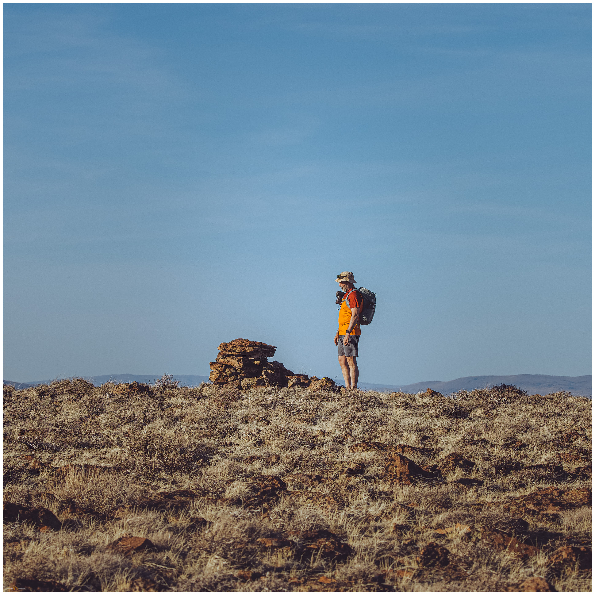
Mahogany Summit. Mahogany Mountain, Great Basin Desert, Nevada.
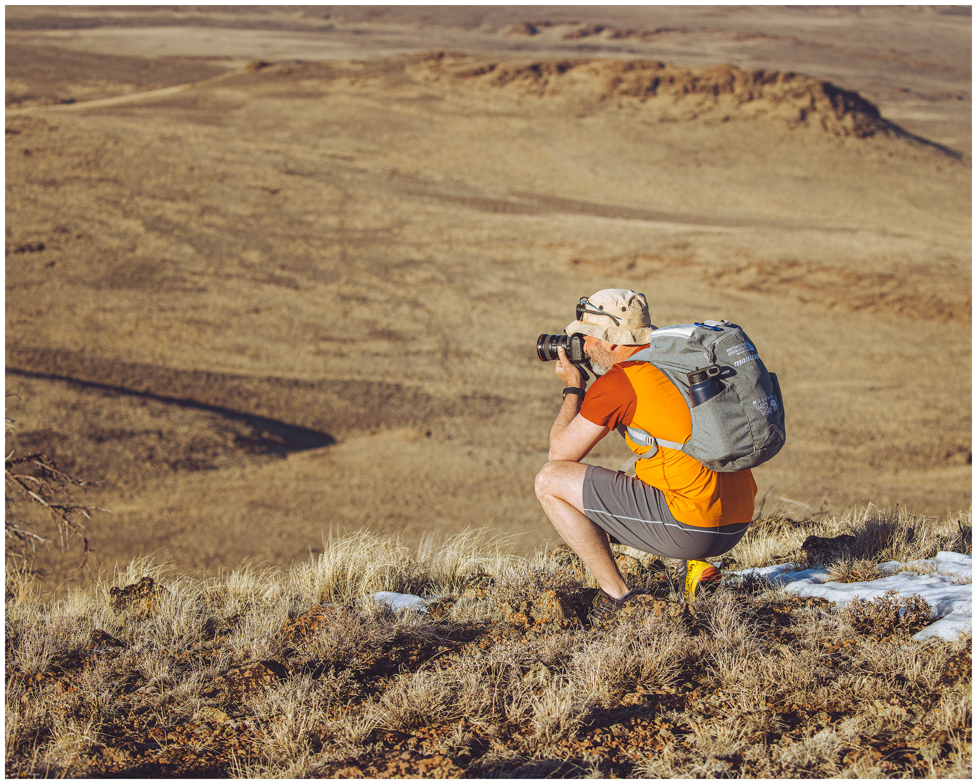
Darren on Mahogany. Mahogany Mountain, Great Basin Desert, Nevada
Donnelly Peak from Mahogany summit, Great Basin Desert, Nevada.

Wild horses watch from scattered groups as we follow their numerous trails between a set of rimrocks and then climb through the boulders of the summit dome. To our surprise we hit an old fenceline, probably an early grazing allotment that we have to climb over to get to the little summit cairn holding the register. It is not a popular climb but the views into the High Rock Country are magnificent. Off the north edge, a ragged stand of mountain mahogany trees gives credence to the little mountain’s name.

Walking out. Mahogany Mountain, Great Basin Desert, Nevada

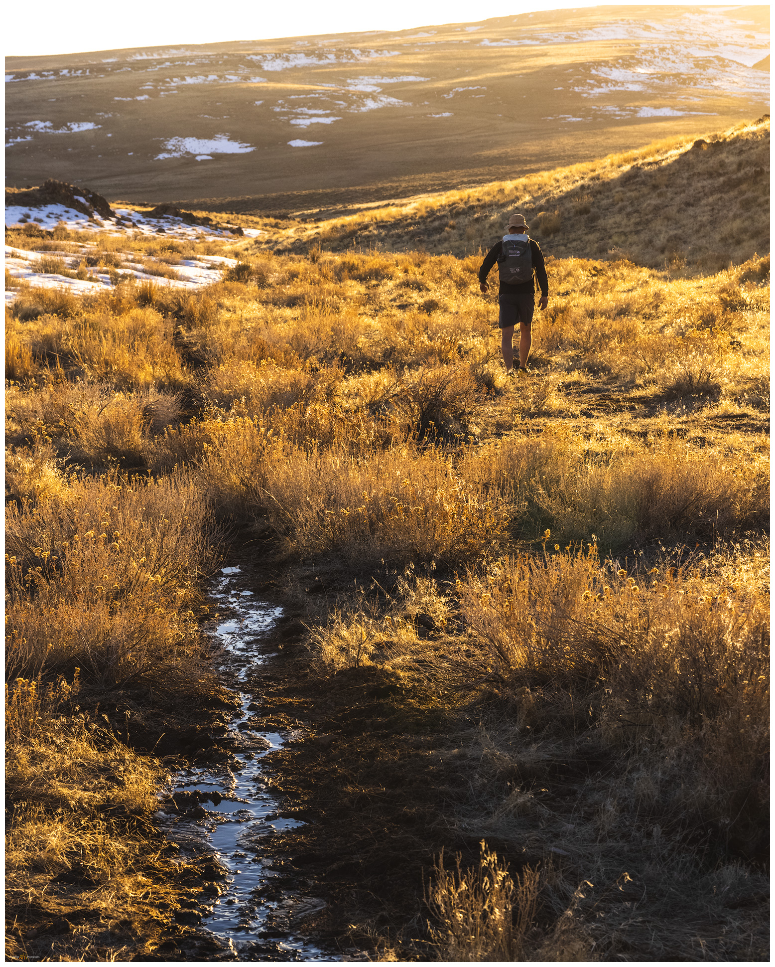
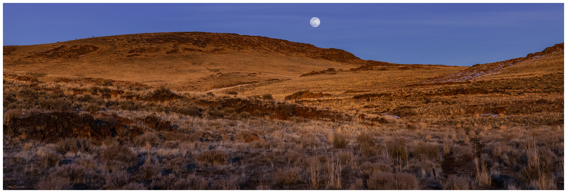
It is a cloudless sky, so the sunset comes quick, and we are soon walking anastomosing trails through golden bunch grasses, which seem not quite ready for spring. Our photography is simple and documentary, though a rising full moon provides early drama to the evening sky. In the dark, we gain the road and enjoy the walk as the brightest stars appear; the flagrant moon will keep the others at bay.

Mahogany moonrise. Mahogany Mountain, Great Basin Desert, Nevada.

HP #81 Collection

We skottle-up a post-climb feast back at camp. The moon lights up our little perch on the edge of the Cottonwood Caldera, fitting closure to our walk in the flows of the volcano’s edge.  

Keep going.

Please respect the natural and cultural resources of our public lands.
#naturefirst #keepgoing

Nevada High Points #80: Cuprite Hills

D. Craig Young · March 20, 2021 · 2 Comments

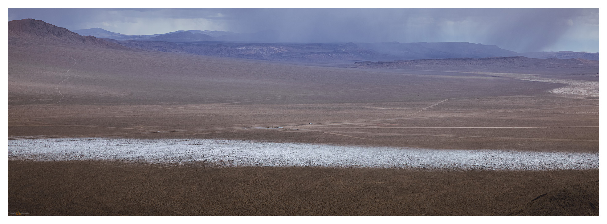
Torrential graupel storms track across Stonewall Flat toward Mud Lake playa.

Cuprite Hills HP (Peak 6071)

6071 ft (1850 m) — 1503 ft gain

2021.03.10

When I first imagined a quest of climbing to the high point of each of Nevada’s named mountain ranges, as I studied my collection of topographic maps, it came as a solution to a problem. As a relatively new student of geoarchaeology, I wanted to experience the variety of landforms, eco-systems, and places in the outback of the Great Basin. How best to do this? I did not want to focus on the well-known, recreational hot spots or prominent, obvious peaks – if only to satisfy my occasional mountaineering urges. So, the quest was born; its goal not simply to conquer mountains large and small but to get out and visit the widest variety of terrain across Nevada, the epitome of Great Basin variability. I have managed to stay on the quest, in fits and starts, for over 25 years. I have recently returned to the journey in earnest, reaching high point #80 – a rather poor average of three a year, I admit – in the Cuprite Hills.

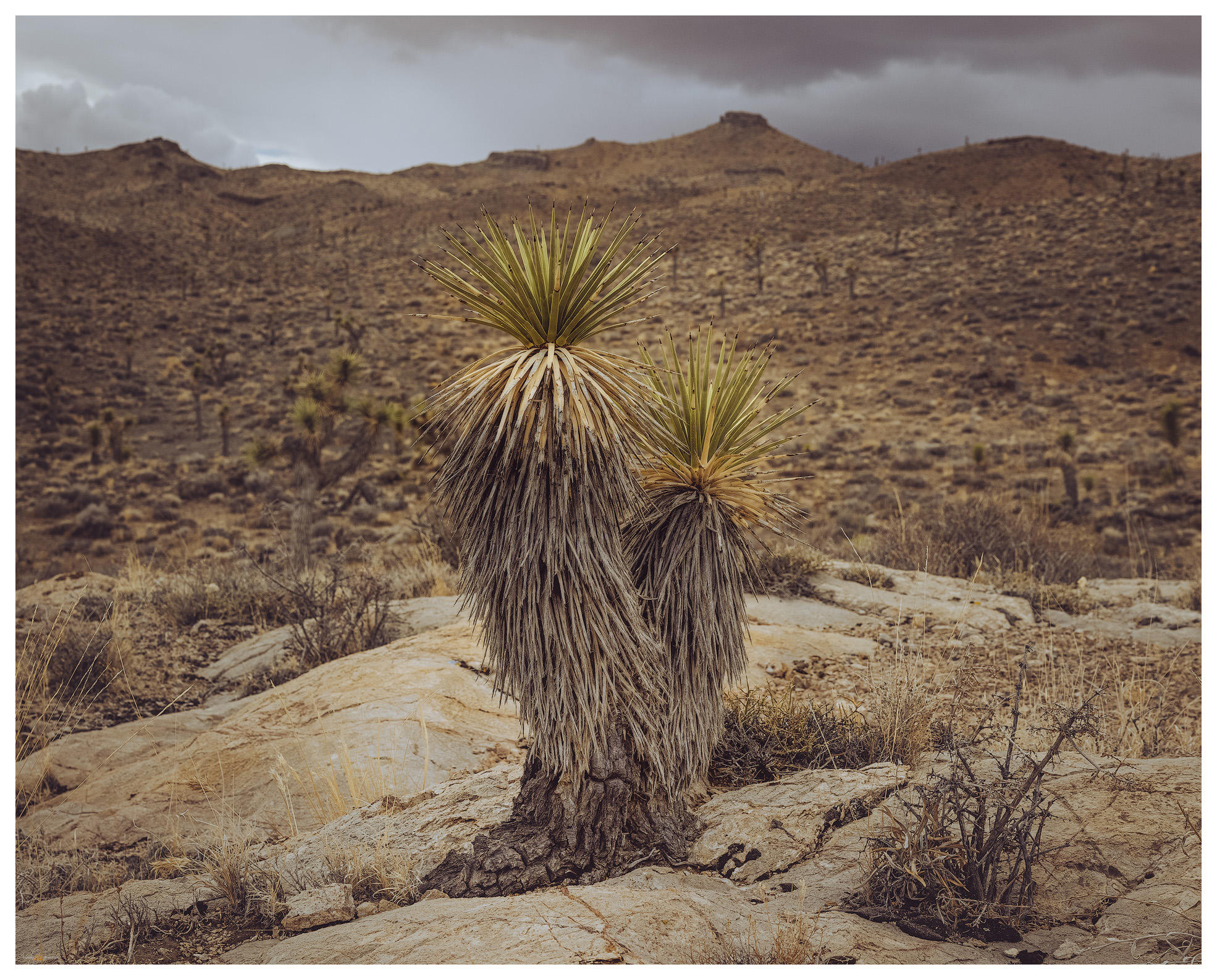
I had a field project mapping alluvial fans along the Gila Mountains near Yuma, Arizona, and that required a drive south on Highway 95 to Las Vegas and beyond. I checked my list and consulted my geographic database to see the Cuprite Hills standing lonely along my route. A hike into the dry hills would make a nice break from the day’s drive. Fortunately, the weather forecast called for stormy conditions with snow at elevation and scattered showers throughout the day – I prefer this to an unbearably clear blue sky when traversing the desert. The forecast was spot-on as I left the Walker River to climb into the landscape where the Great Basin eco-system (not necessarily congruent with the area of internal drainage defining the ‘hydrographic’ Great Basin) transitions to the warmer, drier Mojave Desert. The change becomes apparent south of the mining town of Tonopah with the appearance of iconic Joshua trees (Yucca brevifolia).

Cuprite Hills Collection

A stunted Joshua Tree (Yucca brevifolia) clings to an outcrop at the base of the Culprite Hills.

Dropping out of the Goldfield Hills, dramatic squalls intersect the highway and I am soon immersed in a rampaging graupel down-burst. Wipers on full throttle did little to improve the visibility, and nothing could compete with the sound of the pelletized snow pummeling the windshield. And here, at Lida Junction, I needed to turn onto a desert two-track to find my ‘trailhead’, an arbitrary dirt intersection on the alluvial fan somewhere beyond the squall. The graupel-depth could be measured in inches as I dropped into 4×4 and slowly worked my way up-fan. A coyote stared at me at a fenceline, his posture clearly showing his frustration with the incessant downpour. The battery dead in my camera, I missed his portrait. Of course.

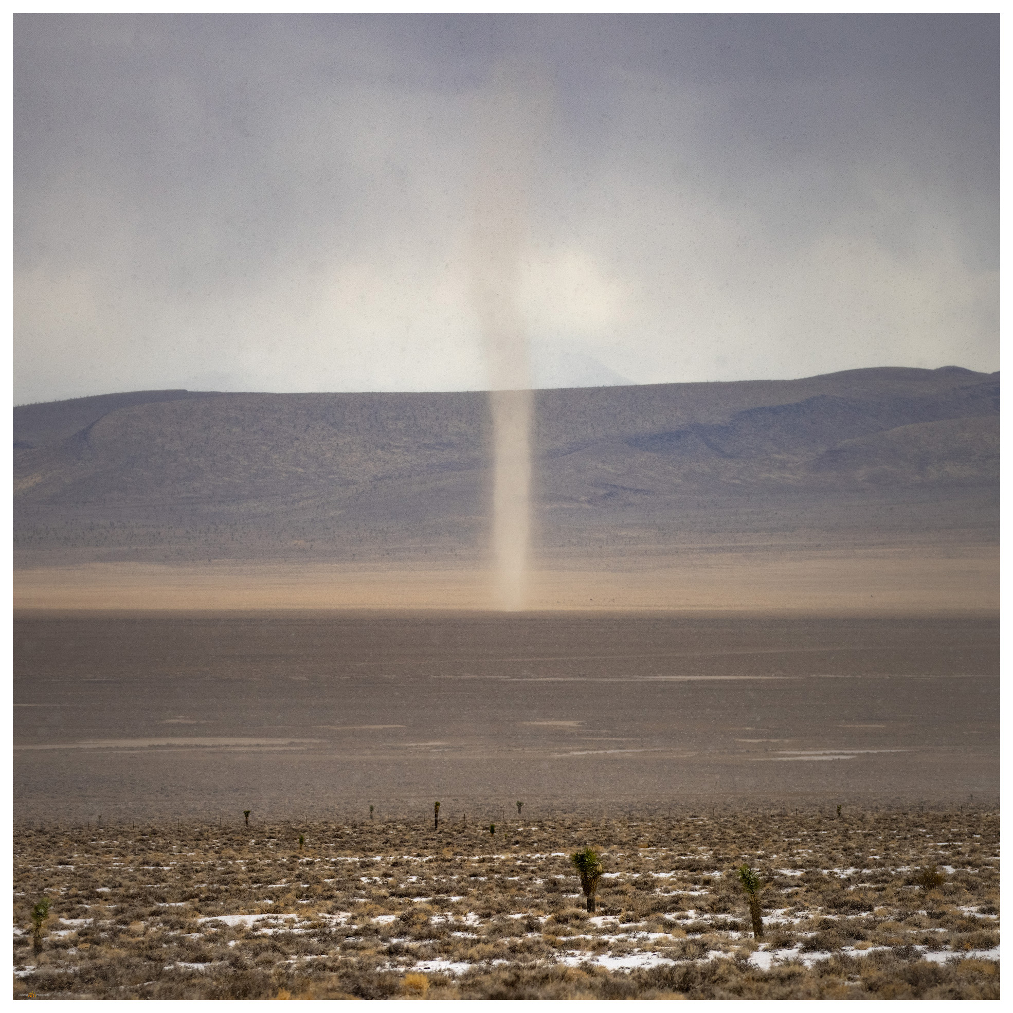
I entered a graupel squall as I approached the snow-covered track on the fans of the Cuprite Hills. With snow building on the ground before me, I turned to see a dust devil approaching from the valley bottom.

From inside the storm, I could see the swirl of winds along the margins of the down-bursts where a swarm of dust devils raced ahead. Thinking this possibly a dream, I pulled my jacket on and packed up. I was two miles from the summit and had a mile and a half, give or take, to walk up the fan before hitting the quick slope of the mountain front. Starting out as frustrated as the coyote as the pummeling continued, I suddenly walked from the squall onto dry ground and into the calm on the storm’s back side. Odd and beautiful.

Left the truck in the turbidity of the graupel squall to walk a two-track to the slopes; summit high point on the right.

It is an easy walk up the two-track past some mining prospects to the moderately steep, cross-country climb to the hilltop ridge. I am back in the wind, more squalls climbing the western front of the range where views are truncated by curtains of storms. The isolated downbursts leave tracks of graupel in their wakes, like the wet trails of snails on a morning sidewalk. I can see my truck in the midst of a well-marked storm-track on the desert floor; the track at my truck seemed the most prominent, but it was accompanied by multiple white tracks across the valleys and up mountain sides. This is not something I had experience previously and would not have had the vantage point to observe the tracks if I had not been on a quest to this relatively minor Nevada high point.

Peak 6107 — the Cuprite Hills high point; the storm providing the drama for a typically undramatic hill.

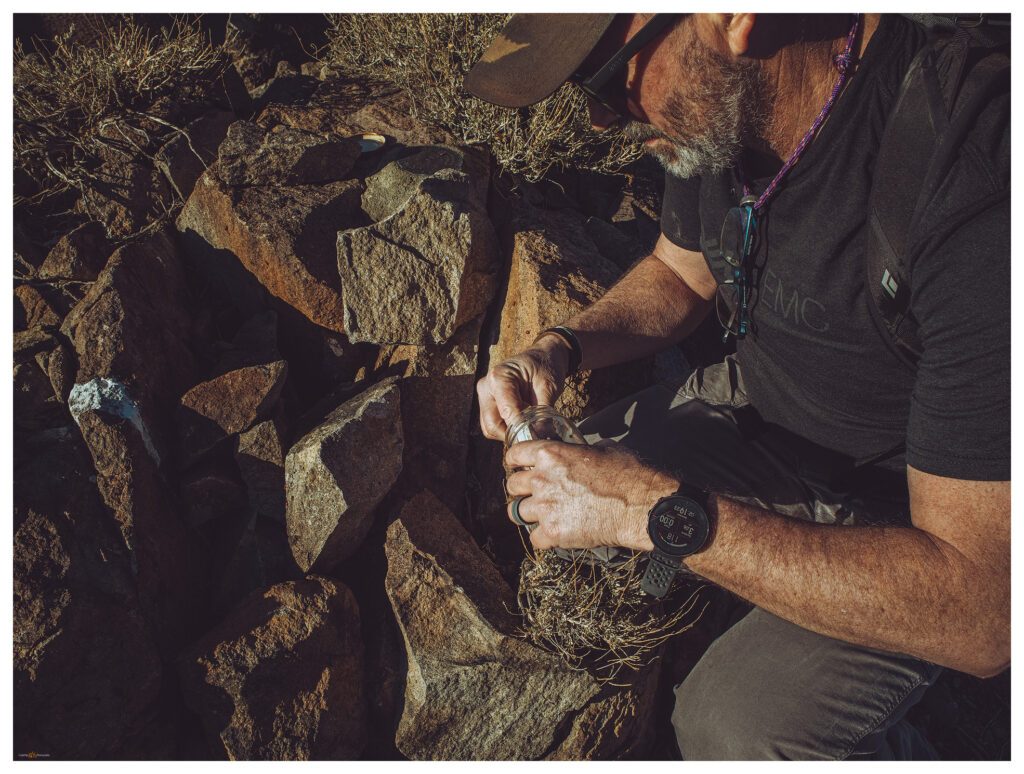
On the ridge, which I thought would hold the high point, I noticed that an abrupt hill to the north was higher, if only slightly. I dropped into a swale and then climbed again to gain the actual high point, finding a little cairn where a small jar held a few pages of a rarely signed summit register. It had been a couple years since another visitor had signed in.

A track of snow marks the storm I left as I began the short climb of the Cuprite Hills.
Dust and snow swirl around Mount Dunfee to the southwest.

Storms continued to track the desert below me, leaving ephemeral white trails as they ran. I seemed to be standing just below the clouds and the wind tried in vain to push me northward. I needed to drop southward on my return, and into the leeward shelter of the hillslope I went. Number 80 on my list, some 272 left to visit. Summiting the Cuprite Hills, and other minor bumps in Nevada’s mountainous landscape, is not an impressive feat of mountaineering – it is not even a difficult walk, but when conditions are right, these small hills provide an experience equal to, or surpassing, any climb I have done. This was a good day, and I am glad to have taken a few hours out of my drive to enjoy these mostly unnoticed hills of scattered yucca, where the storms race to the horizon and dust devils dance in snow.

Cuprite Hills Collection

Please subscribe for monthly (give or take) updates and news of upcoming excursions and projects.

Keep going.

Please respect the natural and cultural resources of our public lands.
#naturefirst #keepgoing

Nevada High Points #79: Monte Cristo Mountains and Gabbs Valley Overland

D. Craig Young · March 7, 2021 · 6 Comments

Approaching Mount Anna.

Mount Anna

6908 ft (2106 m); 1755 ft gain

2021.02.12

(edit 2022.07.06)


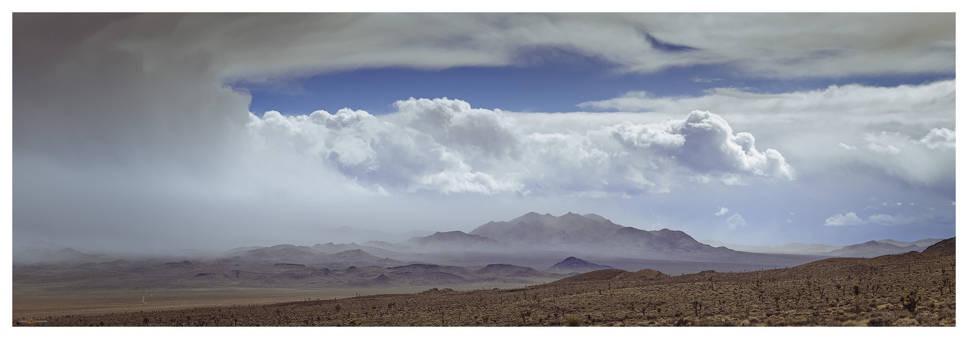
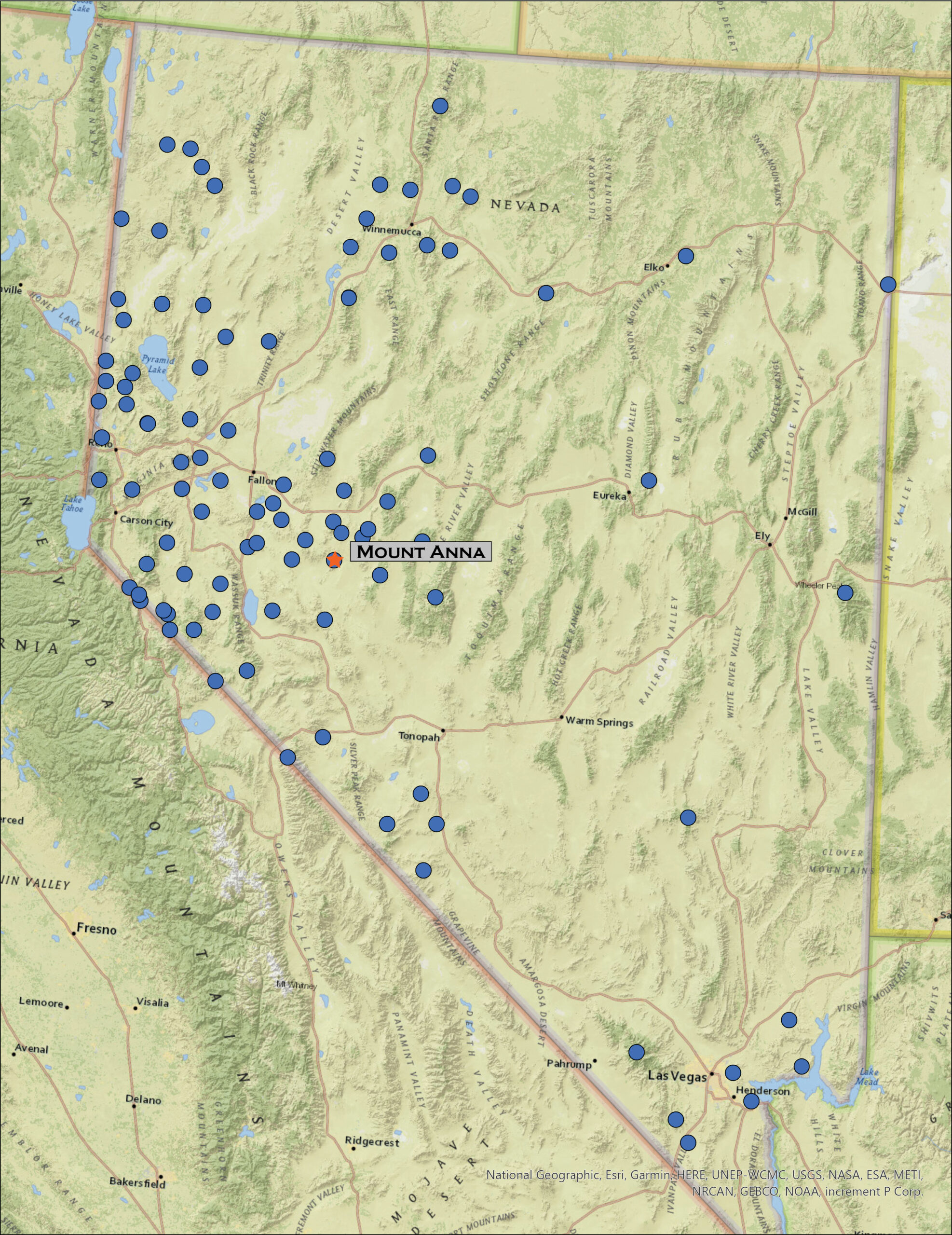
It is once again ‘Second Friday’, time for an overland. Darren and I hit Highway 50 in the late morning, expecting the forecasted wind to catch up with us later in the day. A storm was forecast but from the look of the clear skies, it was somewhere to the northwest. Planning for the weather change, I had chosen Mount Anna in the Monte Cristo Mountains bounding northern Gabbs Valley as our target. Our goal this year is to explore the ranges across central Nevada and this is a rather easy start.

Cliffs over Gabbs Valley.

Mount Anna Collection

We turn south at Middlegate to traverse the low pass above Gabbs Wash and the valley expands before us. The Monte Cristos rise as a volcanic crease in the midst of Gabbs Valley, between Rawhide Flat and the hog-back of the Cobble Cuesta. It appears as a vast expanse of sagebrush and shadscale, but playas and washes connect to interesting features of incised hills and mountain fronts. We move up into the foothills to explore a possible camp in the vicinity of the historic-era Kaiser Mine.

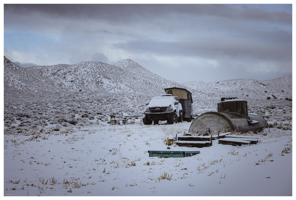
The ground remains saturated from recent snowmelt, forcing us to avoid mud gullies and soft spots at the road margins. We back out of the mine area to find some flat ground at a trough with an old rail tanker-car as a water tank. The trough holds good water, but there are no signs of recent use. We will only be here overnight and water is easy to come by this time of season so we aren’t in long-term conflict with any critters that might rely on this water source.

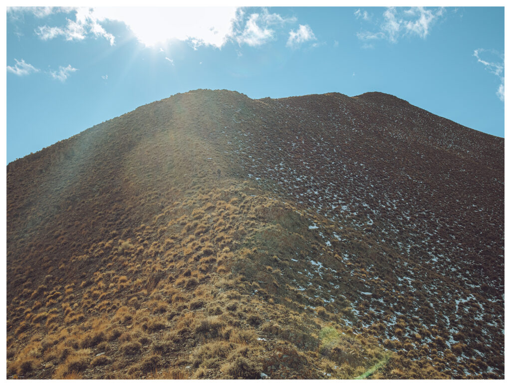
We set camp quickly and engage the truck to climb along two-tracks south of our camp at the Kaiser Mine road. A muddy two-track takes us to a start-point that is gives us a three-mile hike to the summit of Mount Anna. Our route contours generally along a prominent contact between uplifted volcanic flows and ashy tuffs. A light-colored, fine-grained deposits suggests the once inter-bedded mud of a caldera-filling lake. The ground is damp but we avoid the ‘gravity-dirt’ that clings to boots and inhibits progress.

Summit ridge to Mount Anna.

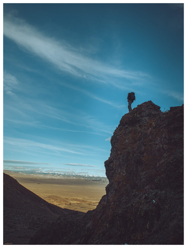
The sunny afternoon is perfect — calm and somewhat warm. We cover ground quickly to find some fantastic volcanic canyons and dry falls in the wash below the summit. Although we’ve walked a couple miles, we really haven’t gained any elevation and the mile or so of the final push is nicely steep, with great, expansive views to the east and south. Arc Dome rises in the Toiyabes, a goal for the very near future.

Gabbs Valley from Anna Ridge.
A modified summit. Darren arrives on the gravel pad at the summit.

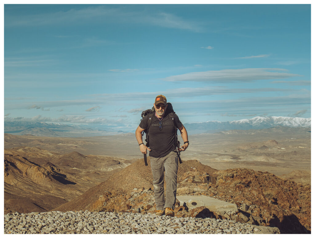
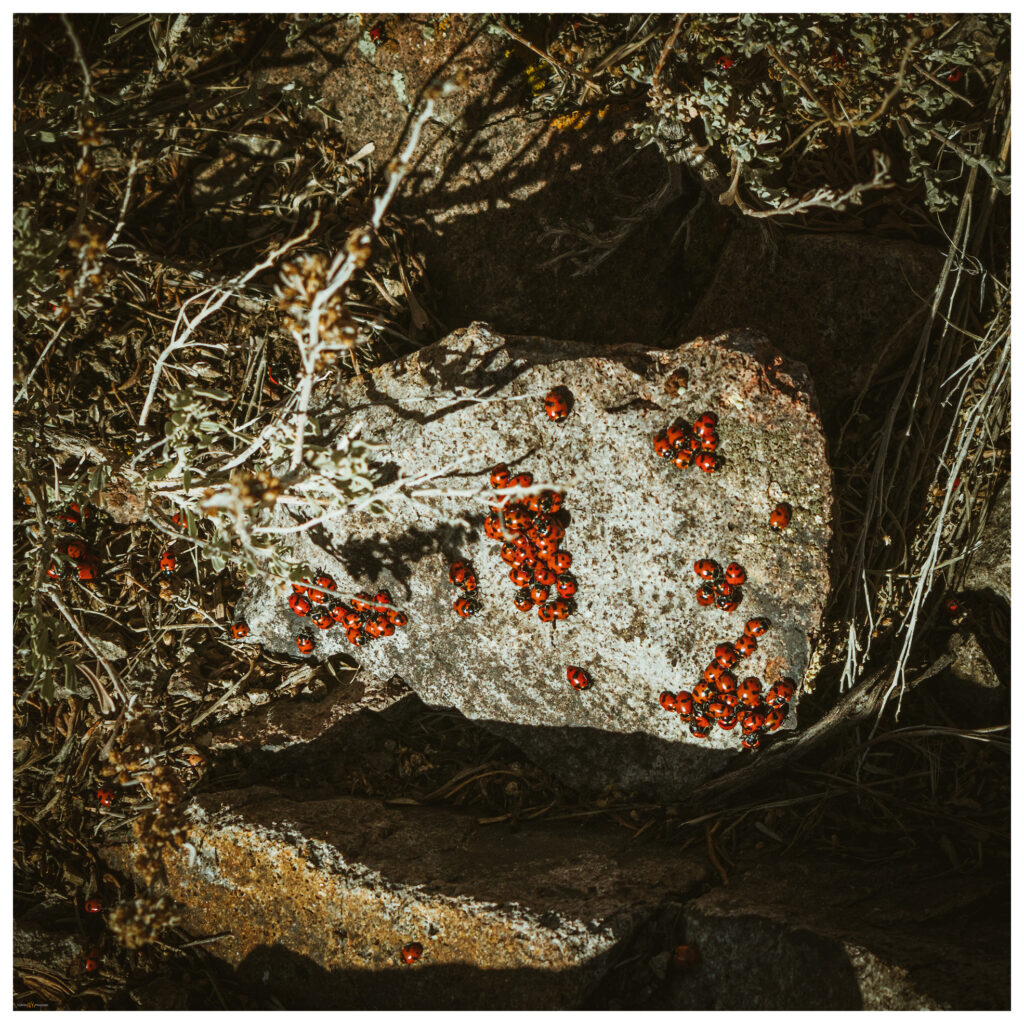
Darren reaches the summit to find well-constructed platforms of concrete and gravel. These are likely footings for military tracking stations or, possibly, for seismic measurements. There are no clues otherwise. I follow just behind him, suprised that the summit is altered but finding the views exceptional under still clear skies. And we are not alone. An aggregation of lady bugs (Hippodamia convergens), a relatively common sight on spring-time summits, brings the rocks and low sage of the summit outcrops colorfully alive. It takes some care to not step on the swarming orange beetle blobs.

Lady bug aggregation.
Summit register.
Fairview from Anna Ridge.
Waiting for the drying, cactus on slopes of Mount Anna.

We trek downward, retracing our cross-country routes and exploring the features of conglomerate washes and localized debris flows where linear levees of cobbles swarm along steep gullies and rills in the mountain side. We are back at camp after sunset.

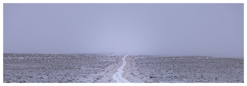
The night remains calm as we ponder our target for tomorrow — maybe the low set of hills on the opposite side of the valley. But the rain starts just after we climb in for the night, and soon the near silence of snow begins to transform our surroundings. The wind never came, but we wake to a blanket of snow with a cover of wispy fog. The damp brings a chill absent until we start packing up. Another climb is out of the question, but we can traverse to East Gate and explore the cleft of Buffalo Canyon. We descend the Kaiser road slowly, with truck and trailer giving easy traction in the fresh, wet snow. We eventually leave the snow cover momentarily at Middlegate but it returns with depth in the canyon above Eastgate.

Mount Anna Collection

Camp at the stock trough and railcar tank.
North into the fog.
Road home.

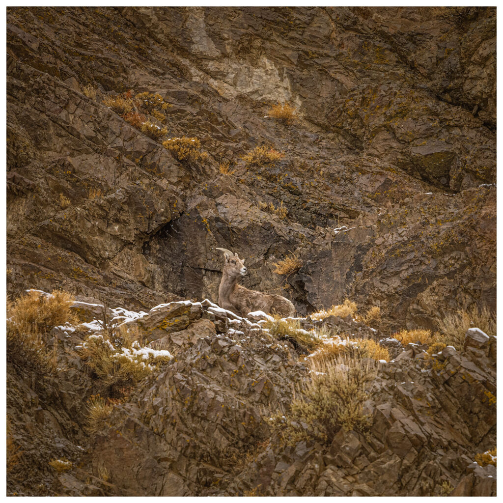
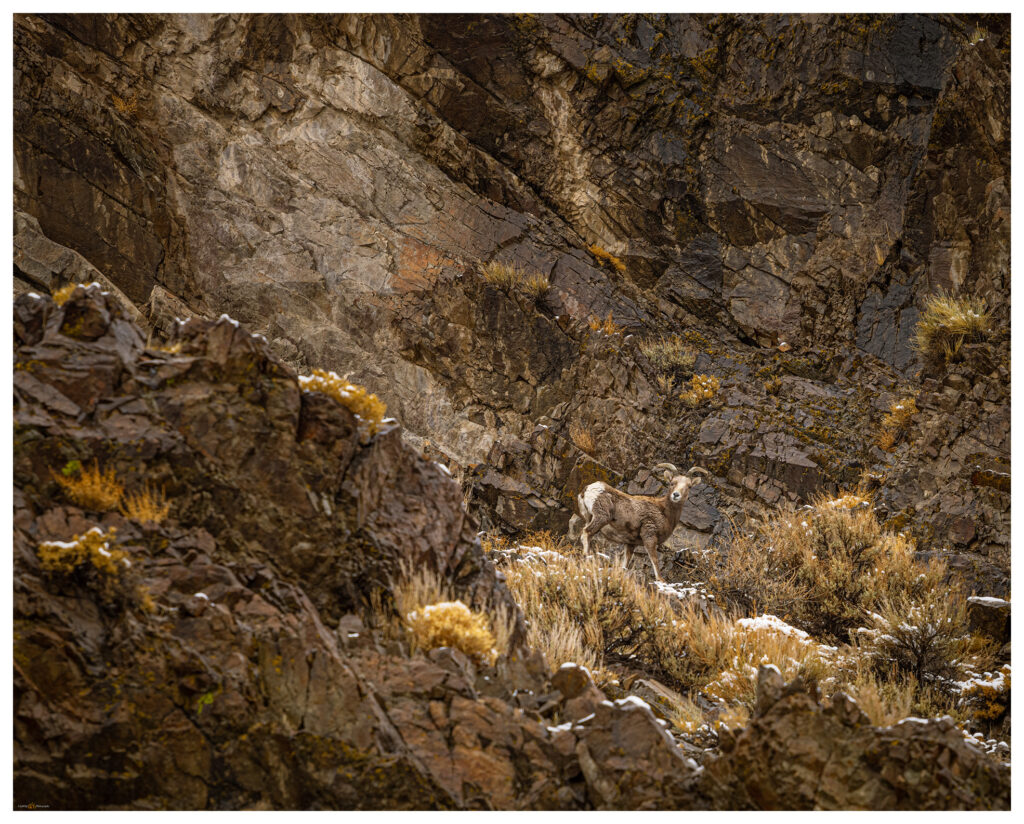
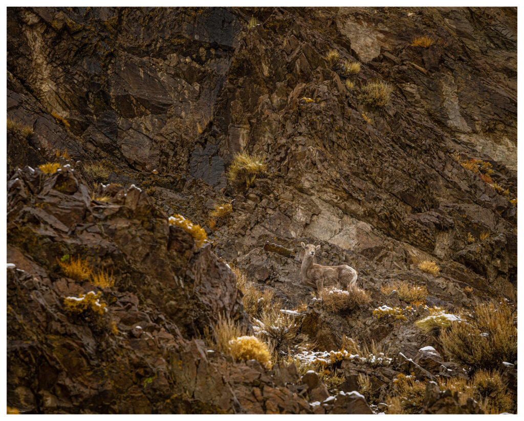
We venture in and Darren soon notices a group of bighorn sheep (Ovis canadensis) high on the cliffs of the canyon’s northern margin. These are a nice gift on a snowy morning. We watch the herd for a while and explore a series of waterfalls that only exist after a wet storm. The storm comes with a power that seems a purposeful attempt to make up for the calm of the previous night. At times we hit storm bursts that seem like summer storms, but their turbulent winds drive snow mixed with the usual dust and tumbleweeds.

Buffalo Canyon Wildlife Collection

Bighorn at Eastgate.
A season’s moisture at Eastgate on Buffalo Creek.

Mt Anna is not a prominent peak, but it gave us the gift of its textured slopes of volcanic rocks and badlands. It led us to a dramatic morning and a visit to the bighorn sheep of Eastgate. Even the small hills lead to big places.

Keep going.

Please respect the natural and cultural resources of our public lands.
#naturefirst #keepgoing

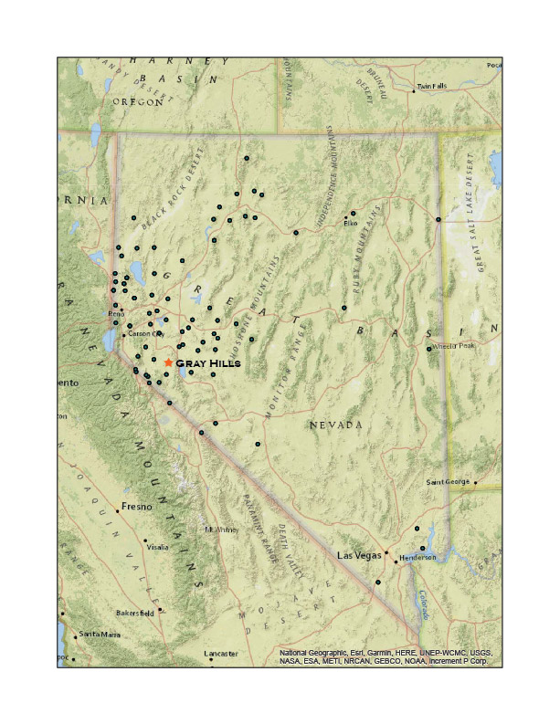
Nevada High Points #78: Gray Hills

D. Craig Young · March 6, 2021 · 1 Comment

Gray Hills HP

6665 ft (2032 m); 1420 ft gain

2021.02.07

Gray Hills Collection


It is a nice Sunday afternoon, why not get out to close high point? I have, of course, visited most of the ranges and hills near our home, so my choices are limited – I am basically running out of short trips if it is new a new high point I seek. The Gray Hills above the East Fork of the Walker River remain a target and they are not too far away. Plus, for some reason, I have yet to explore the reach of the river hidden behind the Cambridge Hills where alluvial fans end their drainage journey from the much higher Wassuk Range to the east. The Gray Hills rise to guide the river’s course toward the town of Yerington in Mason Valley where it eventually joins its west fork.

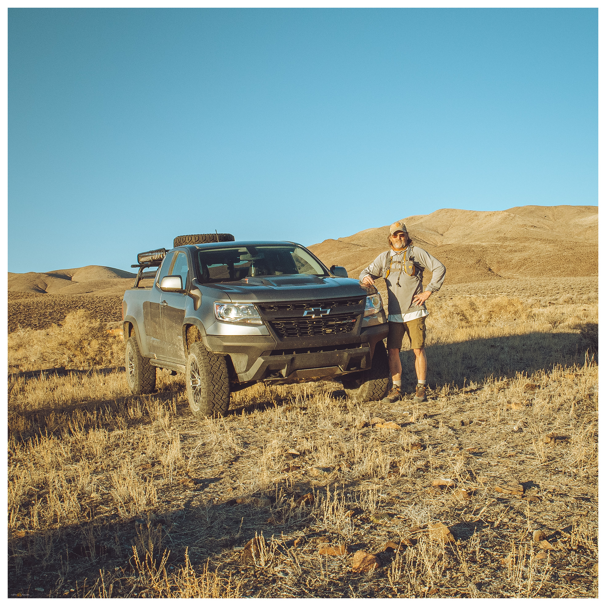
I drove along the East Fork, circling the hills before beginning the summit hike. Passing through Nevada’s newest State Park – campgrounds are wide open but look good for dark skies, birding, and fishing, I turn up a gullied two-track to the old Bonneville DC transmission line. I have encountered the line and its maintenance road many times along its practically straight-line route from the Columbia River to Los Angeles. While I prefer an undivided stretch of roadless area, I am humanly hypocritical as I enjoy any overland excursion in my truck – this line-maintenance road has taken me across three states and ruined the view at the same time.

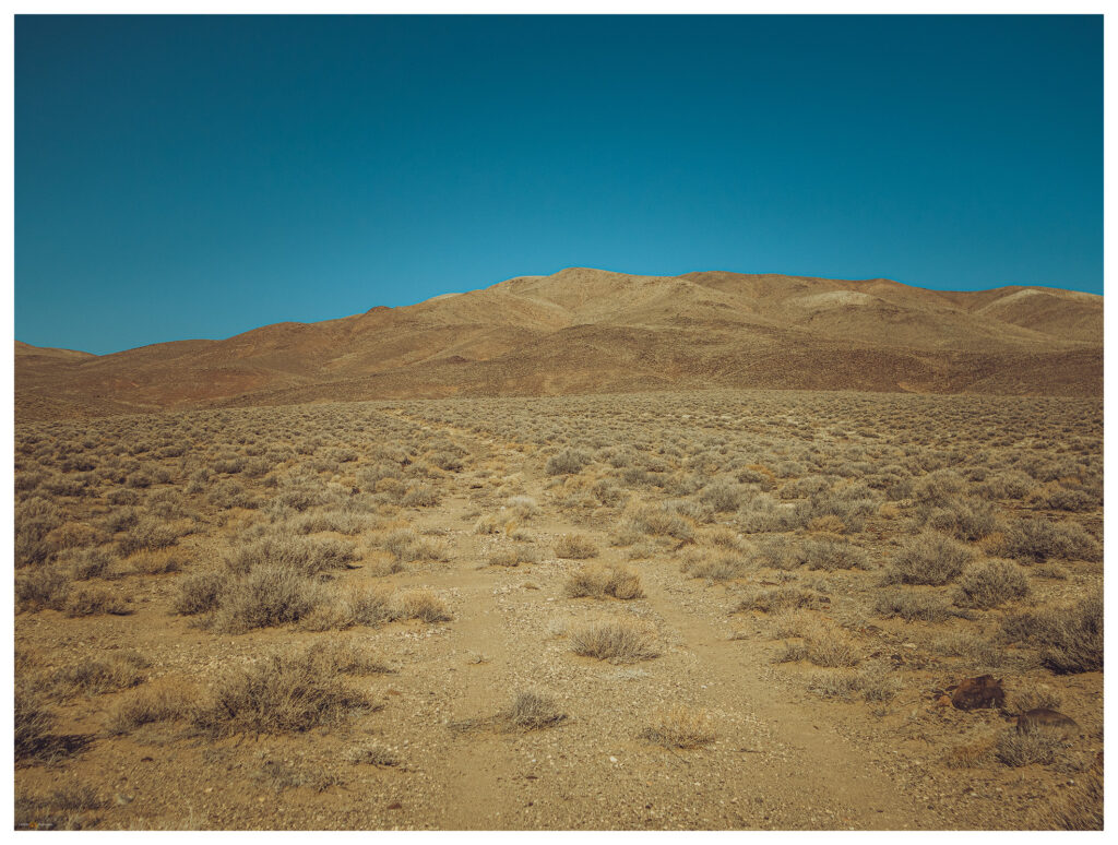
Gray Hills approach. A two-track leads from a dry trough to volcanic slopes, a good walk.

I park at a dry trough. This spot has been abandoned for a long while, no tracks or manure of livestock, and no evidence of use by local wildlife other than a ground-squirrel that dives beneath the trough as I drive up. I avoid active waterholes so that any thirsty critters are not discouraged from a drink. From the trough, it is a two-mile walk to the Gray Hills summit.

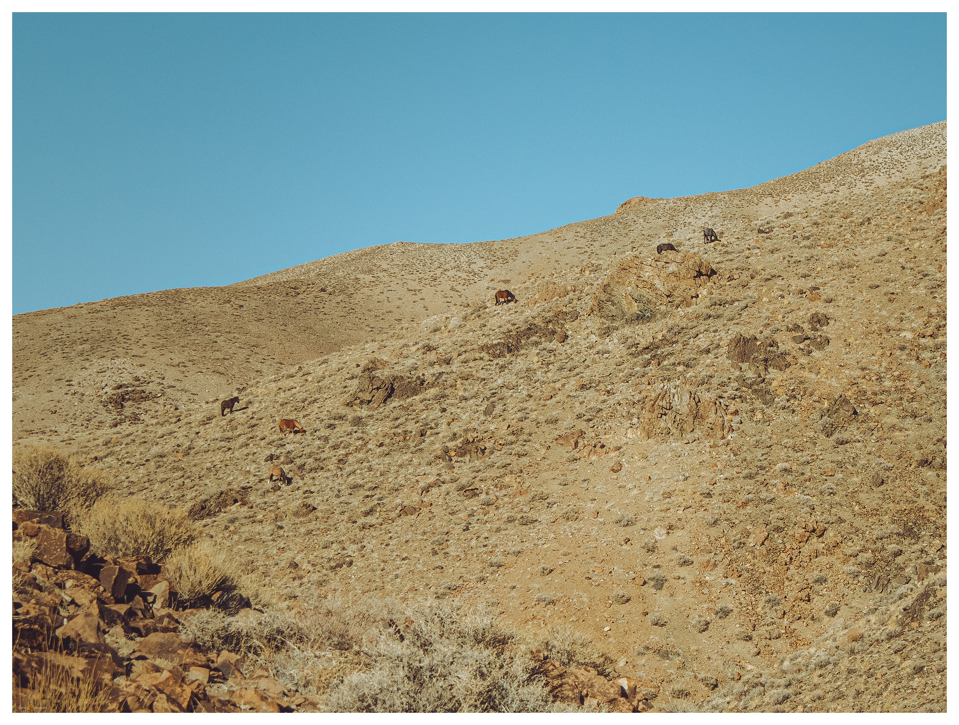
Horses of Gray Hills. One inquisitive, the others not so much.

It is any easy walk following an arm-like ridge of the low volcanic hills. I climb quickly to the arm’s elbow, passing a small group of feral horses, and then scramble through a set of crumbling cliffs to the large, rounded summit. You would never find the ‘high point’ on the broad crown, but a cairn marks a rather good guess.

West view. From the rounded summit of the Gray Hills.
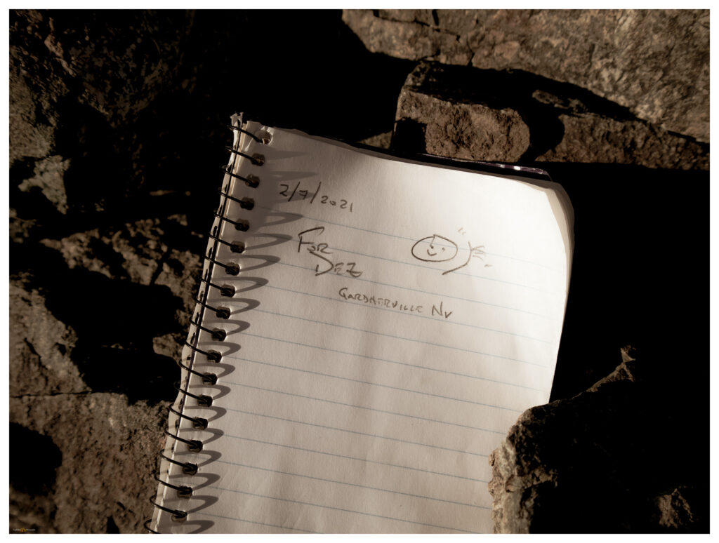
Summit register. My iconic signature on each Nevada high point (so far).
Remnant snow, west side.
North and south. A contrast along the daily path of the sun.

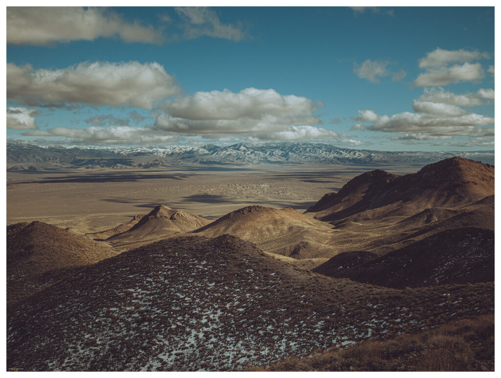
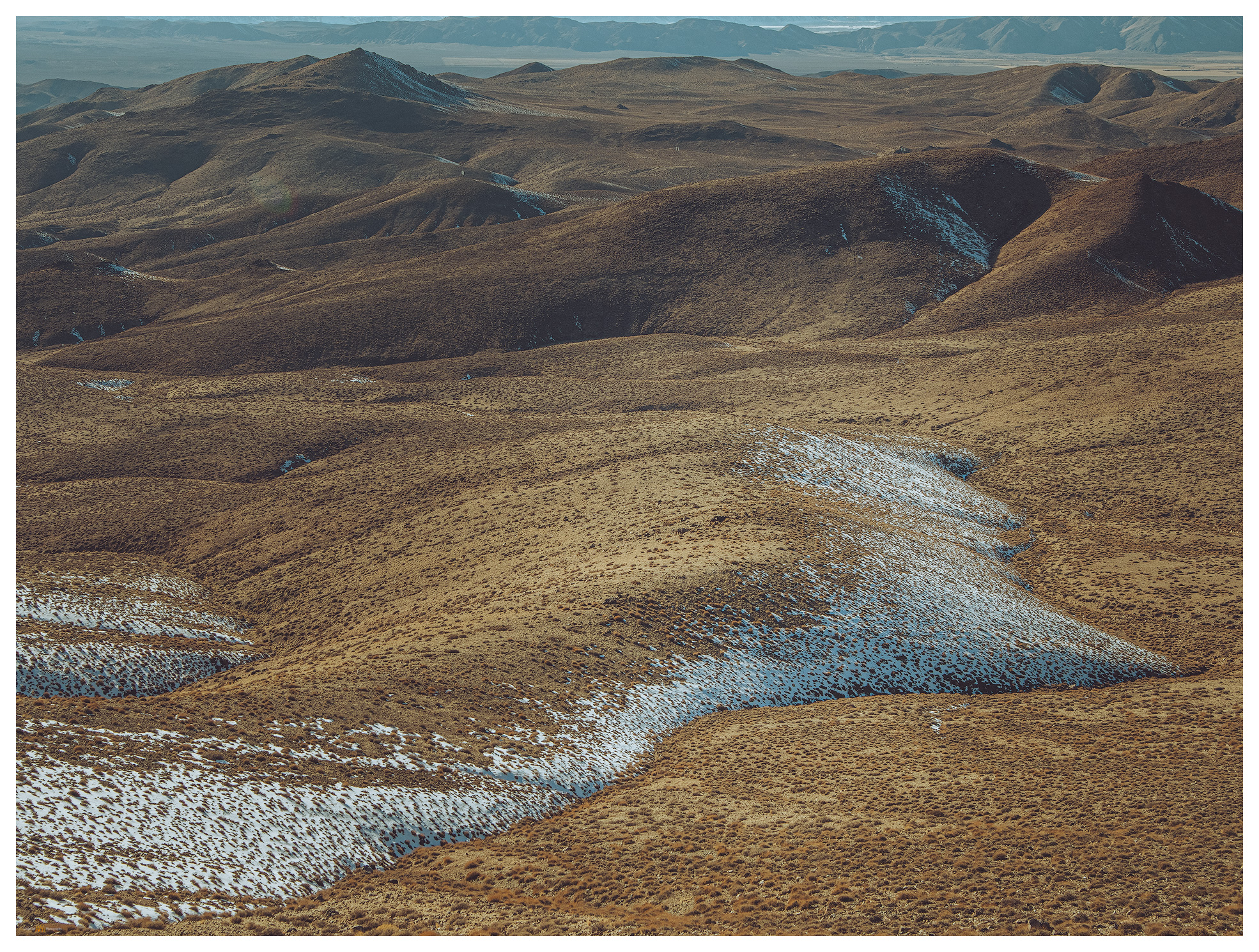
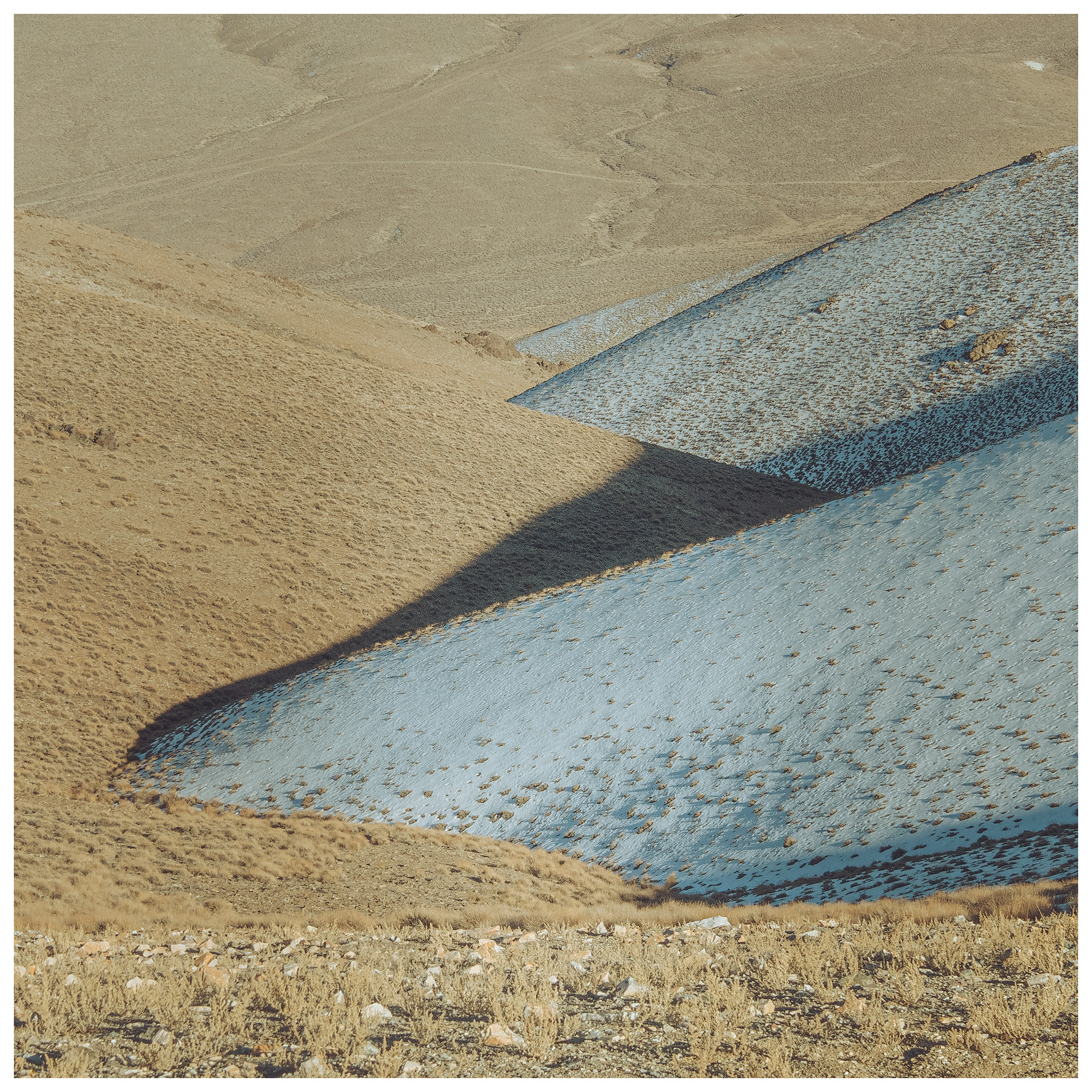
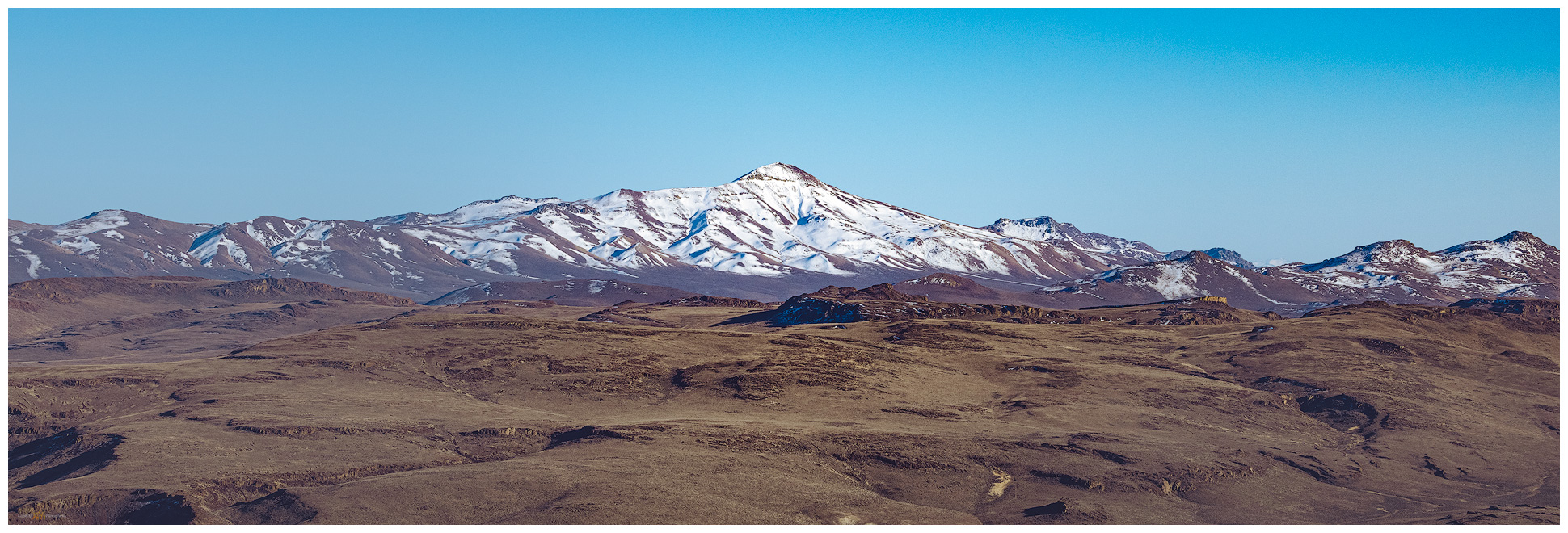
The Gray Hills are neither prominent nor dramatic, but the high point, along with its climbing ridges and descending valleys, makes for some good views. Mount Grant rises to the south. Valleys and ranges roll out in all directions. I bask in a warm, January sun, happy that I wore shorts today. I work my way down the mountain at a trot but pause often to admire the patterns of cold-blue snow opposed to warm-gold sage. My descent coincides with sunset and the contrast of south-facing and north-facing slopes is beautiful – the opposite of our typical early morning climbs.

#78. A good, late-afternoon hike above the East Fork of the Walker River.

Gray Hills Collection

I track along the dirt roads of Rafter 7 Ranch and into Pine Grove Valley. It feels oddly like spring and I drive through the dusk, windows down, until a meet the dark pavement and highway to home.

Keep going.

Please respect the natural and cultural resources of our public lands.
#naturefirst #keepgoing

  • « Go to Previous Page
  • Page 1
  • Interim pages omitted …
  • Page 11
  • Page 12
  • Page 13
  • Page 14
  • Page 15
  • Page 16
  • Go to Next Page »

Trail Option

Copyright © 2026 · Monochrome Pro on Genesis Framework · WordPress · Log in

  • Contact TrailOption
  • Substack
  • Waypoints Bibliography
  • Young Archives