• Skip to primary navigation
  • Skip to main content

Trail Option

A personal geography of landscape and place, art and geo-science.

  • Home
  • TrailOption Blog
  • WayPoints
  • Galleries
  • About
  • Contact TrailOption
  • Subscribe!
  • Show Search
Hide Search

LightOpt

Landscape Photography: Overland in Nevada’s Carson Sink

D. Craig Young · December 20, 2020 · 2 Comments

The Carson Sink is the terminal basin of the Carson River, draining from the Sierra into western Nevada. The sink is also, at times, the terminus of the Humboldt River; in years of high winter precipitation, the combined flows can result in an expansive, shallow lake in the typically barren sink. And yet, even in dry times, the Stillwater Marshes — a National Wildlife Refuge — reach into the basin at the delta of the Carson River. The life-giving and ever-changing wetlands have been the homeland of North Paiute people and communities for millennia; the still are.

Although the sink is relatively close to home, I have spent more time in the surrounding ranges and valleys than I have looking into the vast desert basin. I am beginning to take a closer look at the landforms, their timing and process, of this distal basin and an overland journey and geo-recce was in order. A pre-holiday storm dominated the forecast, so there could not be a better time for this trip.
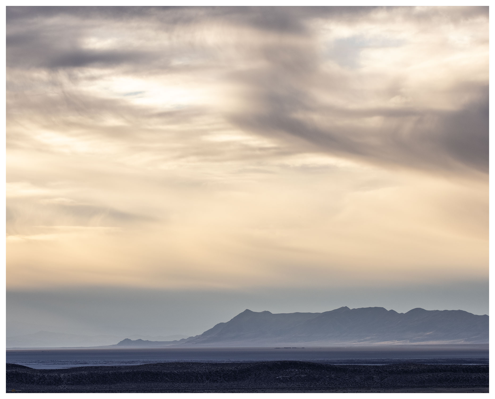
North sink.

Darren — my brother — and I turned off Highway 95 and onto the dirt track on the northern margin of the sink, along the toe slopes of the West Humboldt Range which separates the Carson and Humboldt drainages. The blue sky seemed to hide any evidence of the coming storm. Our traverse took us across desert fans where dusty badlands intersected the soft, effervescent playa of the former lakebed. We were alone and would be for the next few days.
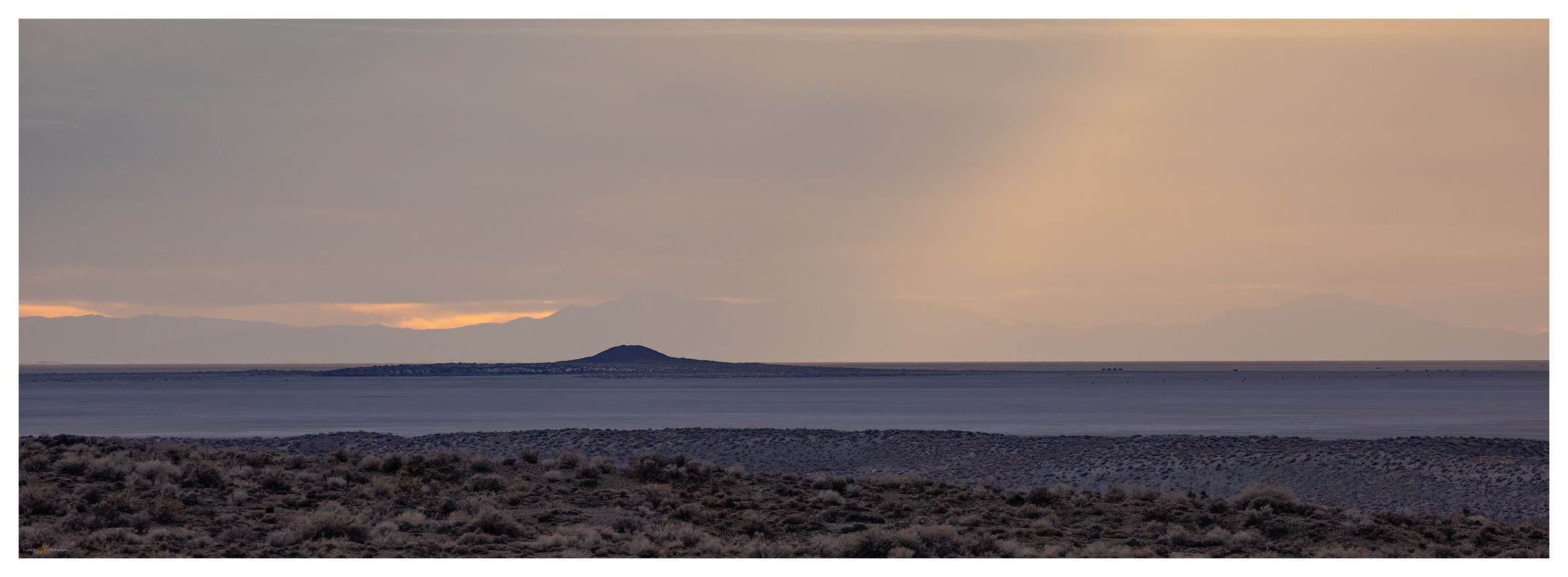
Lone rock light.

Carson Sink Collection

We set camp south of Chocolate Butte on a series of bars and berms formed when Pleistocene-age, pluvial Lake Lahontan cut into the Buena Vista Hills. Our perch provided an overlook of the western sink with Lone Rock, a buried volcanic plug that protrudes from the playa, rising like a beacon. The landform, so significant to the Paiute people, captured our attention with sunset and at sunrise following.

Lone one.

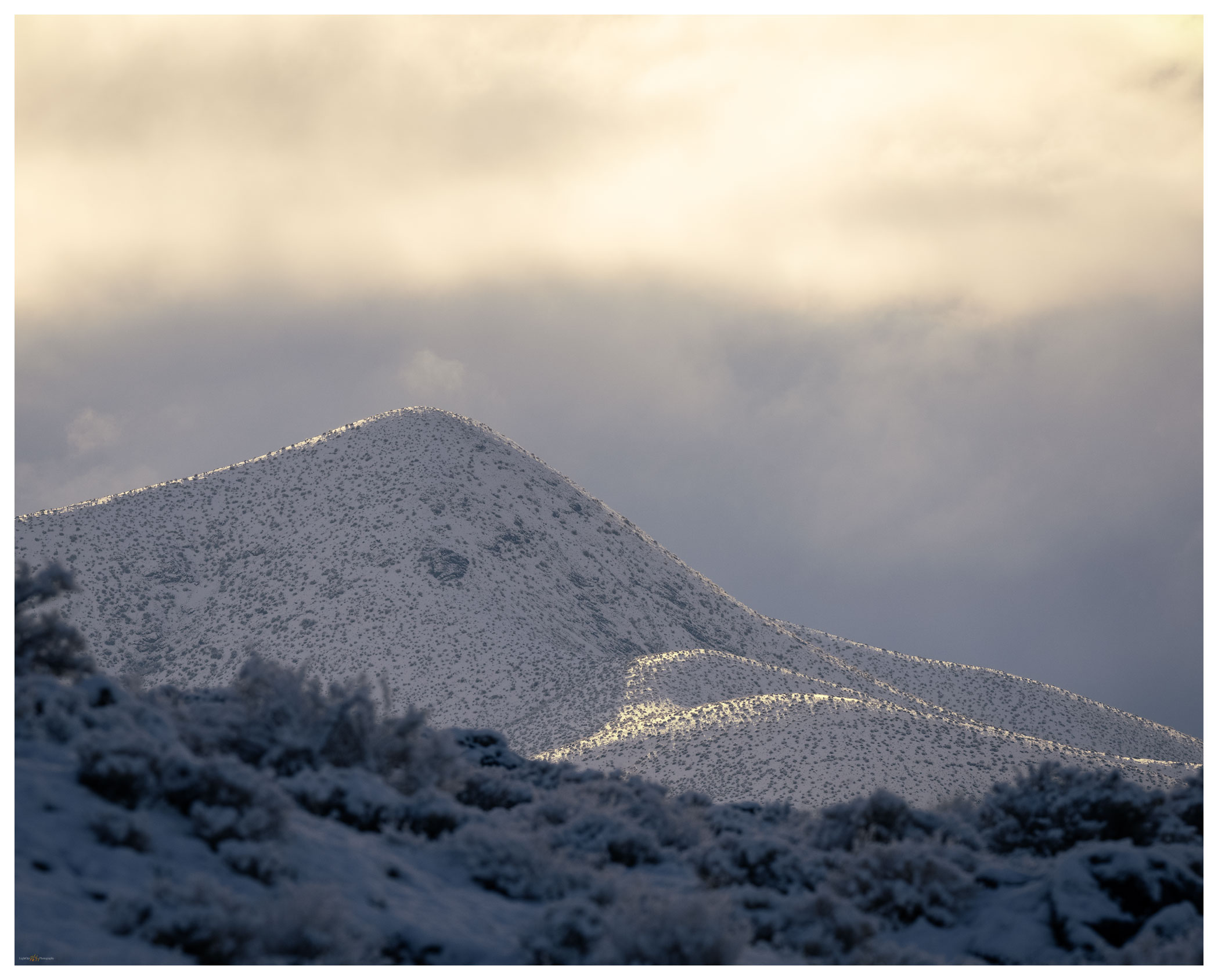
The snow came in the night. Hearing the quiet that sometimes hints at morning fog, I looked out of the camper to see three inches of new snowfall. The desert landscape was now a white expanse, a few dark hills standing in relief. We wandered the old lake strands and berms under dramatic clouds with fog-laden breaks underneath.
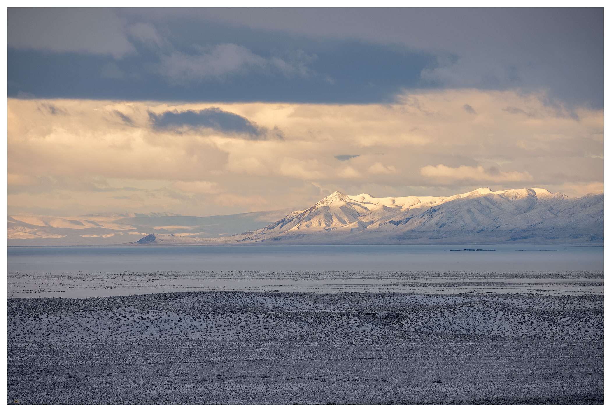
Long view of the West Humboldt Range across the snow-covered playa of the Carson Sink.
Strandline snow.
Early light.
Darren at sunrise.

The squalls seemed to be breaking up by mid-morning. Under clearing skies we made some breakfast on the skottle, re-loaded our coffee, and secured camp for the day. It had been many years since I had traversed the western bajada of the Stillwater Mountains — the bajada formed of numerous alluvial fans emanating from the many canyons along the mountain front. The coalesced fans form a two-tiered apron below the mountain and lead to a sand dune that piles and re-piles along the margin of the playa. Wind transports sand, momentarily paused in the dune-form, but water is the sand’s source. The delta is downwind where the river, mostly the Carson, sometimes the Walker, and maybe, though long ago, the Truckee, delivered sand to the fluctuating lake. The conveyor is still operating, but it has been running on little energy since the Pleistocene. Southerly winds, with the occasional redirection of a north-westerly storm pulse, push the sand to the valley margins. Starving for sediment, the dunes are now their own sand source, with new parabolic racers leaving exposed dune-core badlands in relief. Traversing the high sand faces and walking quietly through the skeletal-core, we soon encroach the playa expanse.

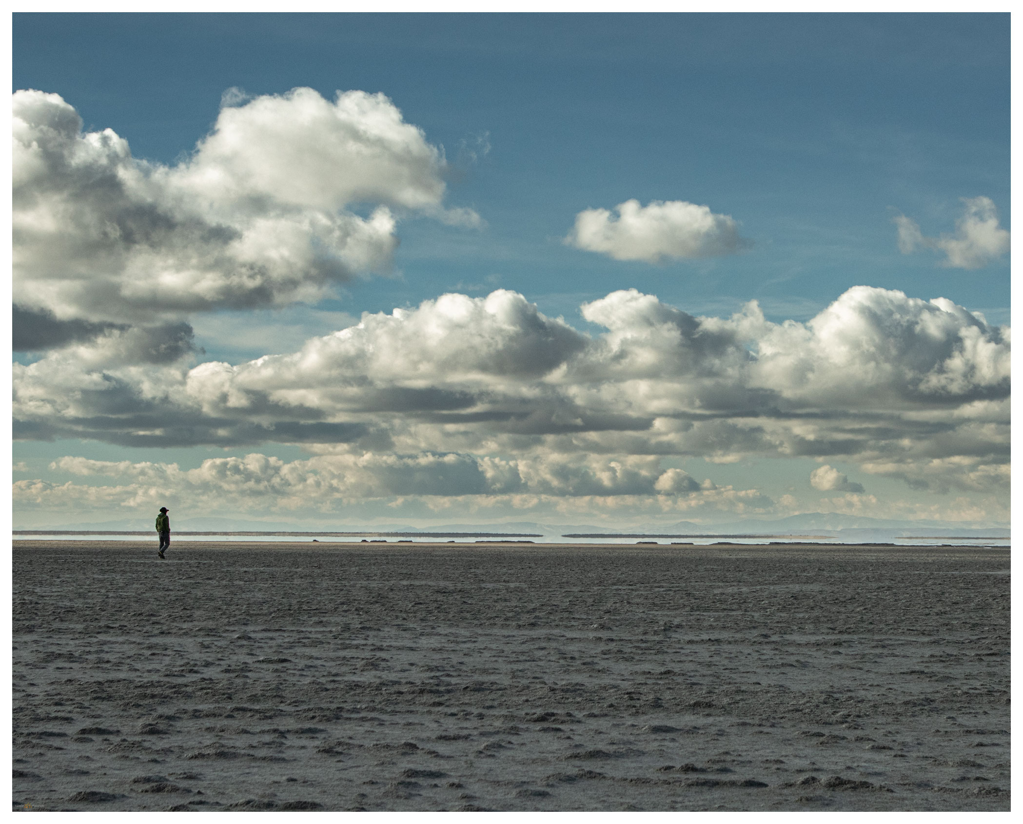
Dune core badlands.
Checking the level, Carson Sink, Nevada.

Our second night is long and cold. The darkness of the Winter Solstice is almost upon us; nightfall is early and we pass the long hours of the evening with a camp dinner and a quiet fire. The Geminids meteor shower teases disappointingly, so we share stories and plans for the new year — ways to make the most of our time in the pandemic. Outback travel continues to seed hope and heal with a bit of distraction.

Carson Sink Collection

A second storm approaches on Sunday morning. We pack camp and continue southward; today entering the east side of the Stillwater Marshes so that we can cross the delta from east to west before once again hitting the highway. Rain squalls come and go as we traverse the silt dunes of the North Road and finally venture into recent snow-cover at Papoose Lake.

I will have several field seasons of work coming in the geography of the Carson Sink. This refresher overland re-set my thinking and provided a new foundation for investigating the open space surrounding that vast playa.

Keep going.

Please respect the natural and cultural resources of our public lands.
#naturefirst #keepgoing

A glow that had to last — Death Valley, Part 3

D. Craig Young · October 12, 2020 · 9 Comments

It was time for a shower. Climbing out of Death Valley, we arrived at Lone Pine, California, in the late morning, seeking refreshment and food. The hotel was not crowded so we checked in easily, cleaned up, and wandered across the street for BBQ. It was not that we ate poorly in Death Valley, we just needed to fuel up for our last outings – an evening and early morning in the Alabama Hills. Lone Pine felt strange. I had worked here for extended periods last year, and I had typically camped in my trailer. Now I was a tourist staying in town and making excursions to the Hills; the role had been switched.

Cyclops arch, sunset on Whitney, Alabama Hills
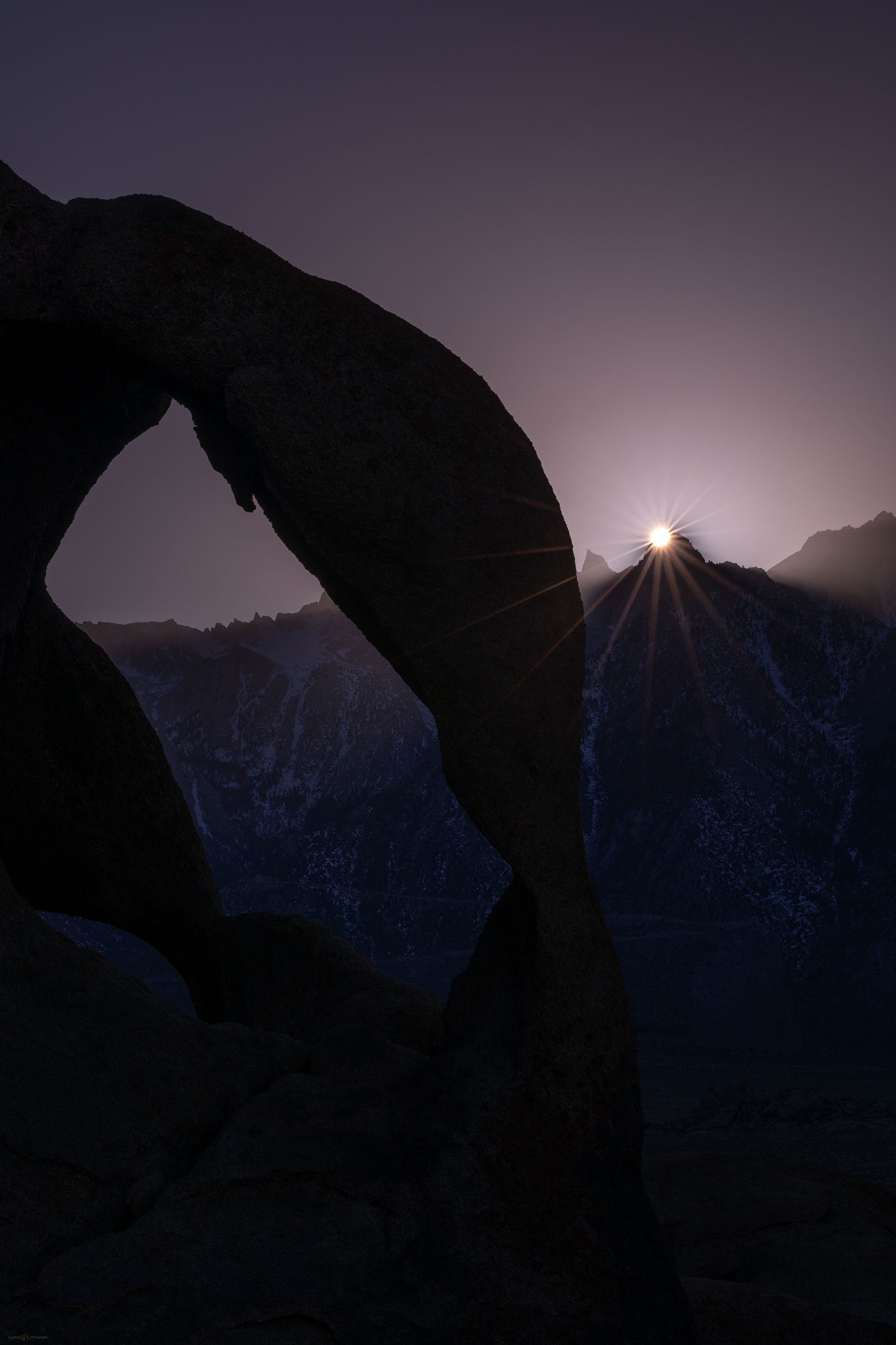
Cyclops rays. Scouting the arches and an experimental wait to catch the last light of the blue day.

The evening was clear with blue skies settling toward a sudden sunset. Heading toward the portal road, Randy and I grabbed a late coffee and ice cream to go. But the first curve disengaged me from my vanilla, and it dropped surprisingly in my lap (sorry about the any spot I missed Randy!) – one should not juggle espresso and a cone when chasing light. We headed north toward the ‘boot’ and the ‘cyclops’, meeting up with the team as we hiked in. With the sharp and abrupt light, and with the forecast suggesting potential for an interesting morning with storm clouds over the Sierra, we used this as a scout. Our trip would culminate in the morning.

Death Valley Collection

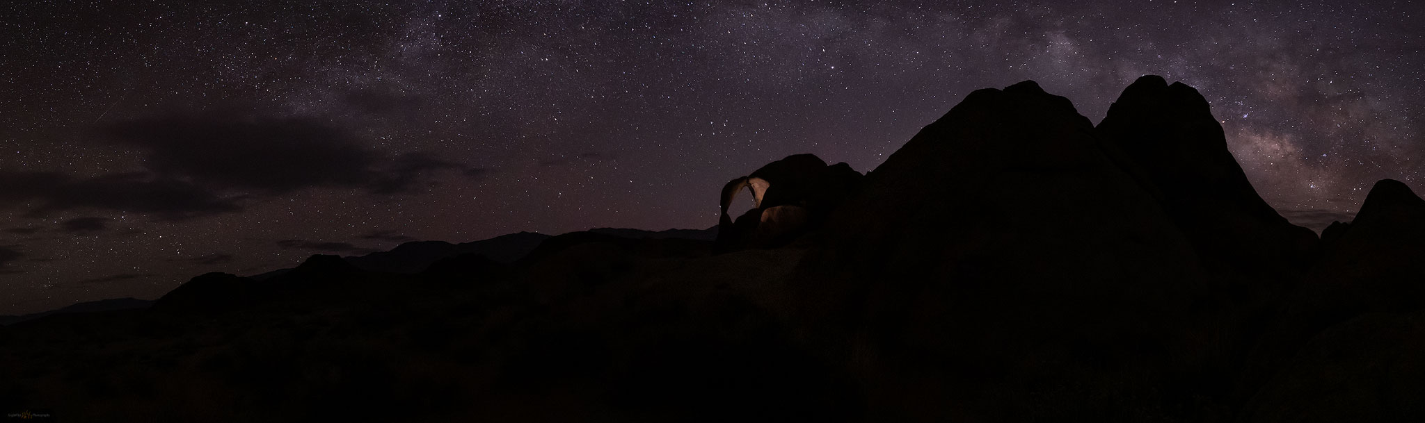
Quinn, Randy, and I met in the parking lot well before sunrise. We wanted to check the Milky Way potential at the ‘cyclops’. It is always a highlight of early morning walking in the star-lit desert, waiting for the granitic outcrops to loom in the light of headlamp. A distant owl warns of our approach. In the darkness of the hills the Milky Way is clear as it settles in a broad arch above the eastern horizon. The promised clouds are evident in dark patches masking stars as they tear away from the mountain front. Some may curse clouds in an astro-shot, but I have always liked any well-placed clouds especially if they simply add glow to a few of the brighter stars or provide depth and scale to the otherwise dark landscape – I am a minimal light-painter. We did, however, light the arch’s interior and committed to working on galactic images until the sun turn our attention to the Whitney massive beginning its glow in the west. The storm was at almost the perfect position, rolling over the summits with a misty gauze below the dark density of water-bearing clouds.

astrophotography at Cyclops Arch, Alabama Hills, California
Cyclops way. Patches of a coming storm approach the Milky Way arch over the Cyclops.
Alpen glow on Lone Pine Peak, Sierra Nevada, Alabama Hills, California
First light. First sun hits Lone Pine Peak overlooking the Alabama Hills. A scene I had not witnessed during the previous summer and fall camping below the peak.
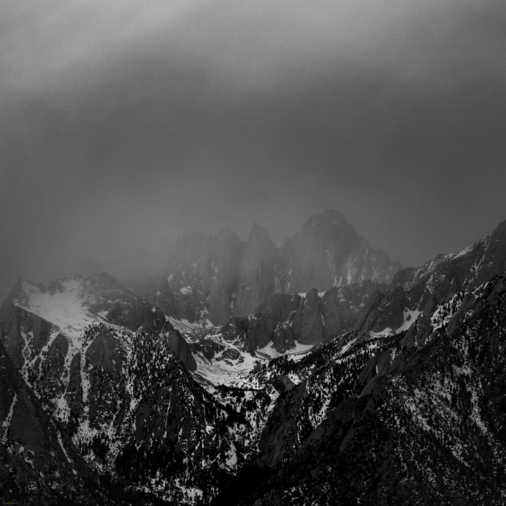
Black and white image of Mount Whitney in the coming, late winter storm
Whitney incoming. Turning a long lens on the shroud of storm clouds on Mount Whitney.

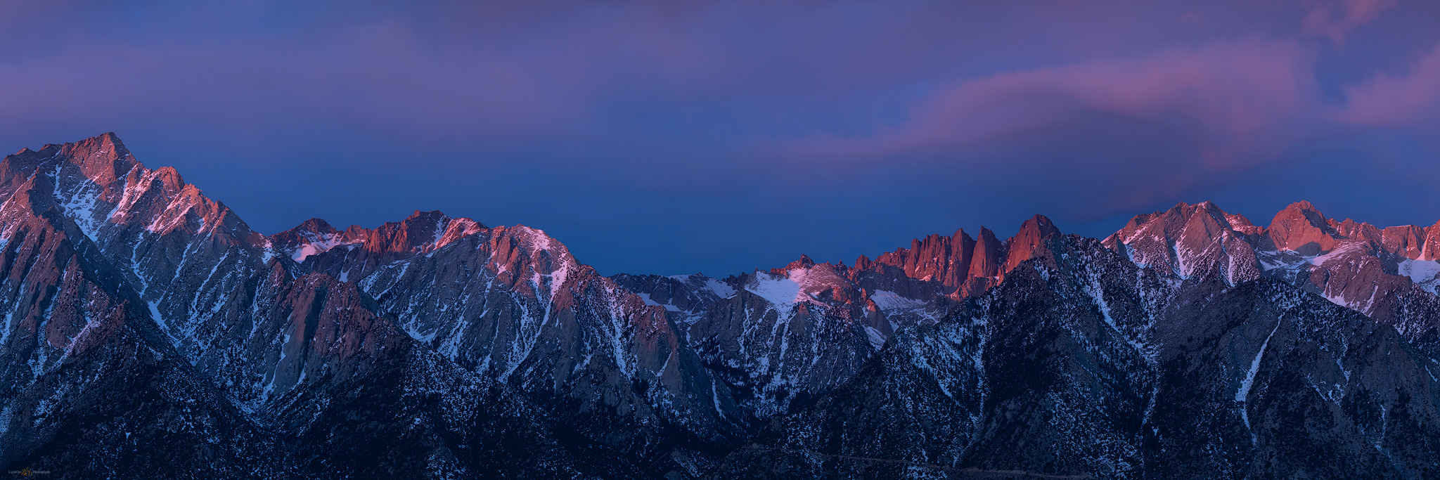
We could tell it would not last long. The gift of alpenglow was fleeting but I think we made the most of it. I had one of my most relaxed mornings of our trip, feeling in-the-zone. I reached for long and close images of Lone Pine Peak and the needles of the Whitney summit ridge before backing away for a wide, multi-image panorama of the Range of Light. Its name written in the first cast of dawn. Our trip came to a close.

Panorama of the Sierra Nevada at Mount Whitney, Alabama Hills, California
The glow that had to last — Range of Light, California

Death Valley Collection

I write this many months and a pandemic or two later. Little did we know as we parted, separately leaving Lone Pine in the late morning, that much of our freedom to roam would fade as the mountains disappeared behind the storm clouds, replaced by seemingly intractable problems brought about by a polarized, dystopian loss of trust and community. We had these few days that we could look back on – the days when we could wander. These few photos, and the memories of comradery, remind me that, with care and effort, our wandering will return. As the landscape and its emotions teach us, let us not take it for granted.

Keep going.

Please respect the natural and cultural resources of our public lands.
#naturefirst #keepgoing

Patterns and process — Death Valley, Part 2.

D. Craig Young · May 18, 2020 · Leave a Comment

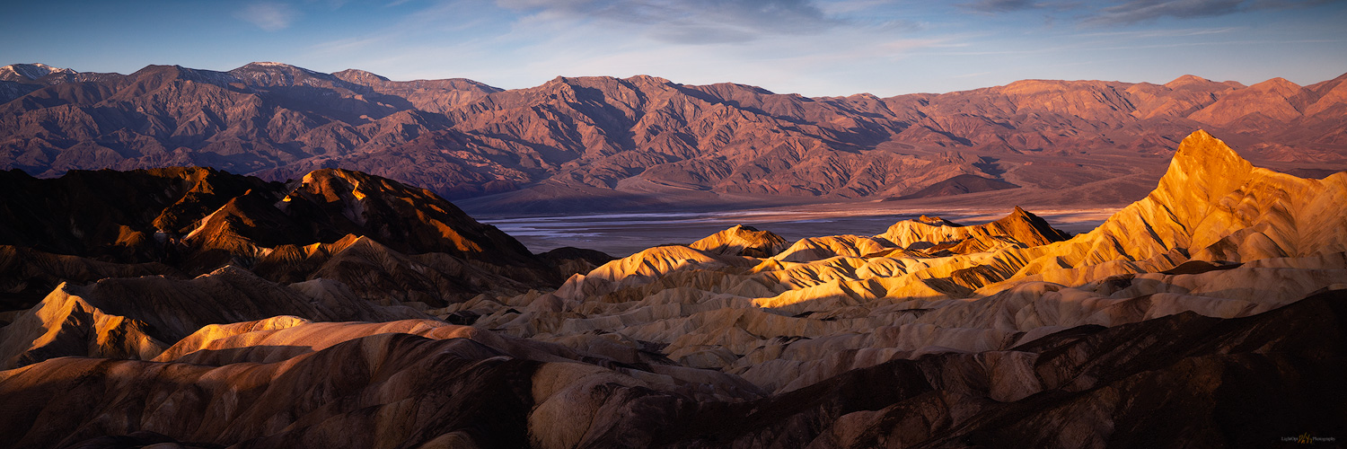
Our night in the overflow camp was not that bad, and we were up early covering the short distance to the iconic viewshed of Zabriskie Point. We were the first parking-area arrivals – Erno, Jeremy, Quinn, Sandy, and Randy – but were soon followed a good-sized crowd as the developed walkways of the overlook absorbed the people and numerous tripods. Despite the early morning visitors, it is not difficult to spread out and focus on some small scenes in the Zabriskie badlands while not missing out on the iconic expanse overlooking Death Valley. I climbed the hills to the north to wait for sunrise. From the small summit, I looked down on the geometric patterns written in the tilted volcanic tuffs. Odd to watch the iconic view come to life in the sunrise – a scene I had seen in so many images, and although I had passed the parking area numerous times, avoiding the crowds by never stopping, it was a good spot to take in the morning. I was glad I was here.

Zabriskie Sunrise. This shot presents itself on most winter mornings.
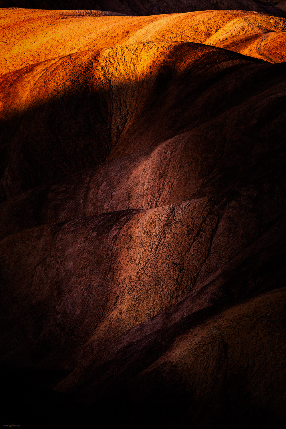
Badland mark. A subtle light preceded the drama of dawn on the colorful badlands of Zabriskie.
Surface lands. The golden light and cool contrast absorb me.

The weekend crowded faded into Monday morning, allowing us to move camp to empty spaces in the Texas Spring campground. We set up and relaxed into the late morning and growing afternoon. We had scouted out the area southward into Badwater Basin, selecting some locations where fine-grained alluvial fans crossed the road and extended into the bottomlands. Now we rested in camp and let time pass, making plans for the coming days. Tonight and tomorrow, we would hunt for the patterned ground of polygonal cracking – Erno kept cleaning his gear in anticipation, or maybe he kept telling Jeremy he should clean his gear. We were all looking forward to it, dust spots or not.

Death Valley Collection

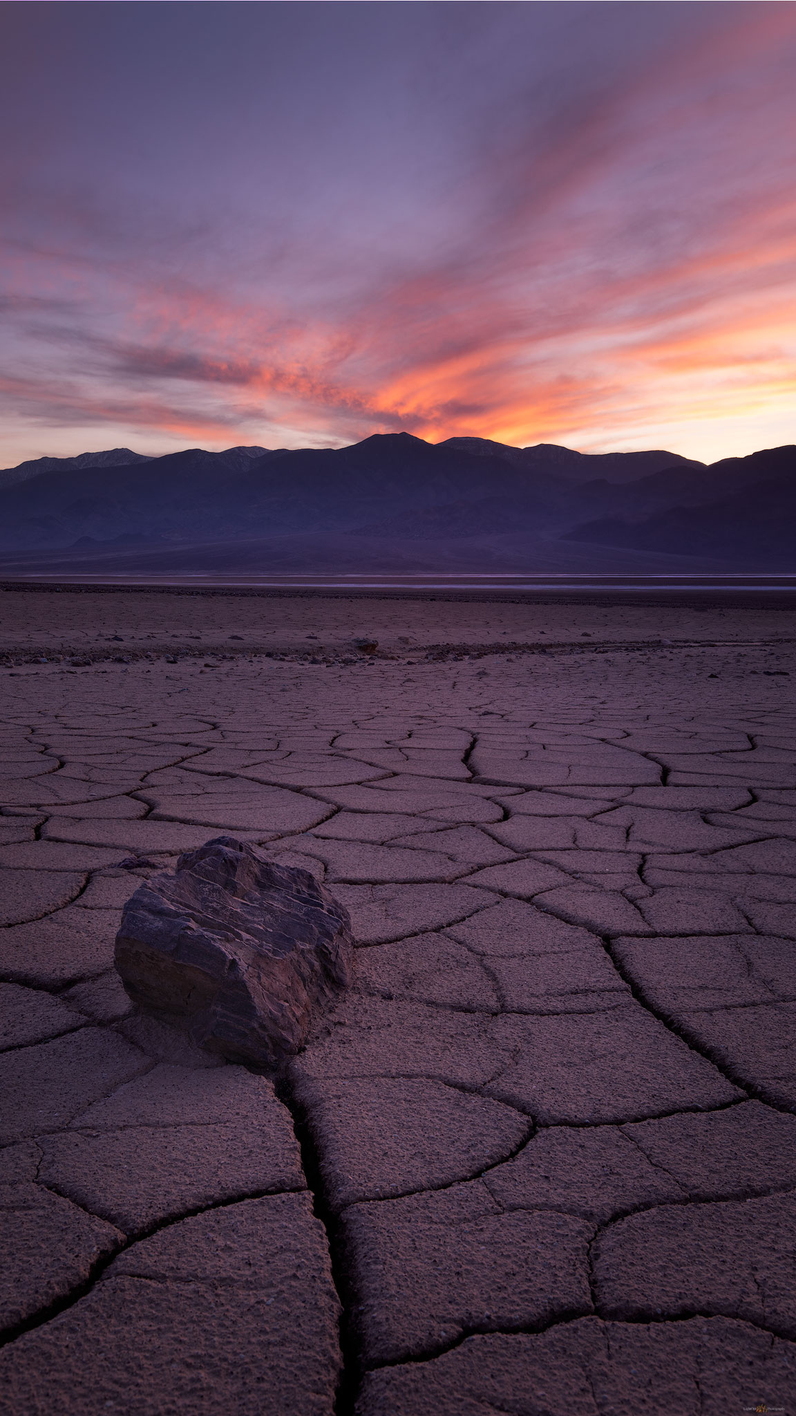
We spent the evening and the following morning, below sea-level, wandering the broad fans looking for compelling patterns in the mud cracks. Sediment carried by the last energy of a flash flood, maybe a year or two ago, all other large clasts dropped along the flow, creates a fine-grained veneer between gullies and rocky berms, cracking as it dries and repeating the swelling and shrinking with each new wetting cycle. We spend a long evening on the middle fans. The backdropping sky is subtle, lacking the fireworks of our previous night, but we wait and hope. The following morning, my preparation for capturing sunrise over the polygonal patterns started early. I crept out of the dark parking area, heading toward a more distal position on the fine-grained fans of Badwater Basin. Walking in the dark of pre-dawn, I wandered down-fan looking for some interesting patterns or rocks to the foreground of sunrise. It was quiet and dark, great to be walking. As dawn approaches, I see the rest of the team parking along the road as they work into the sunrise.

Death Valley Poly Cracks. I waited and waited for a closing image to our long day.

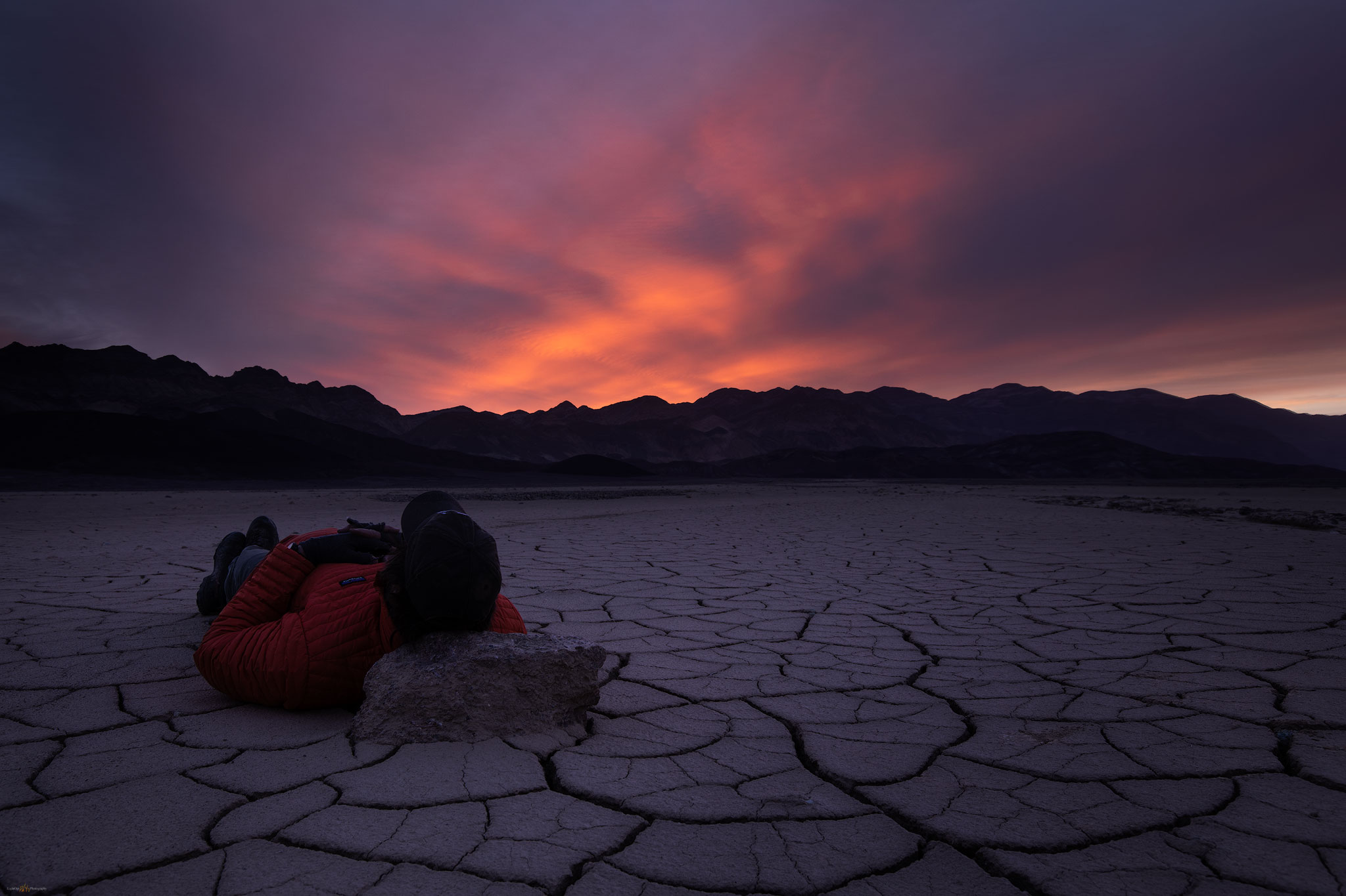
It is difficult, for me, to have the patience to choose one small scene in the multitude of patterns, when my typical mode is to continuously recon for profiles and exposures. This is something I need to improve. I often leave a scene too early, wanting to look around the next bend or investigate the next outcrop. It is perfectly ok and fun but creating images the speak to the experience becomes rare. I wait and enjoy the slow sunrise, playing with a few cobbles and cracks.

Pre-dawn rest.

It is our day to take the long, looping road of washboards and rutted dust to the Racetrack Playa, always the highlight of any journey in the Desert Valley outback. We leave my trailer and Erno’s rig in our Texas Spring campsite and spend the day traveling to the Racetrack; we will camp one night at Homestake Camp and return to Texas Spring. Arriving in late afternoon, we explore the Grandstand, an inselberg poking through the northern end of the playa and then visit the tracks of racing rocks nearer the plays southern end.

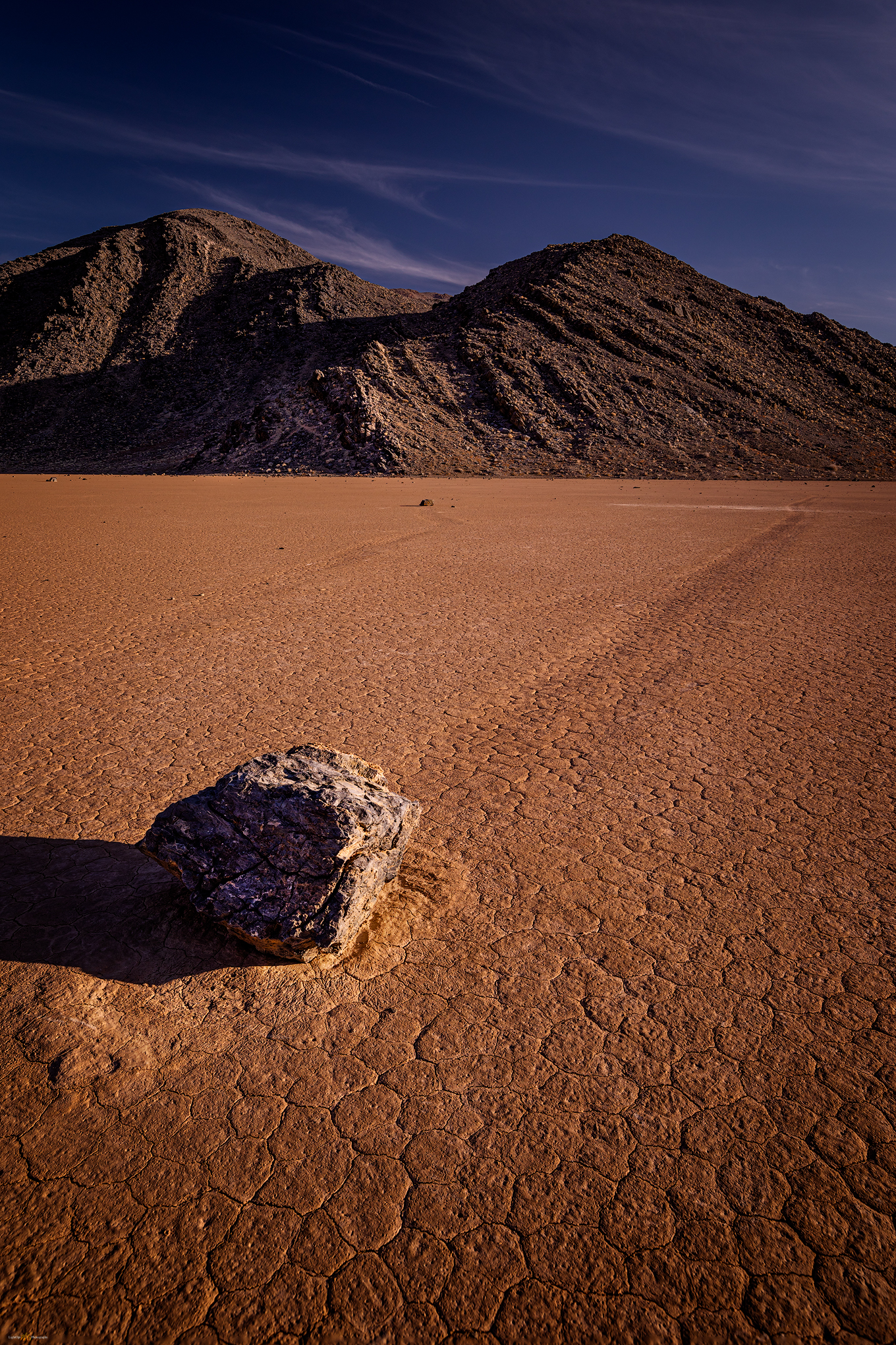
The trails speak. Enigmatic boulders and traces of the Racetrack Playa, one of my favorite places and a perfect geo-puzzle.

It is a puzzling spectacle viewing the cobbles and boulders (and occasional sticks) with ephemeral trails marking their ‘race’. How do they move? In sum, it is the occasional and timely interaction of water, temperature, and wind. The Racetrack is a somewhat unique playa setting given the large limestone outcrop at its southern end – most playas being isolated in the middle of vast basins far from rocky outcrops. At Racetrack, the outcrop provides the rocks; as the outcrop weathers and crumbles, cobbles fall onto the playa. Winter rains drain to the playa forming dispersed, shallow pools around the scattering of rocks. Basically shallow sheets of water, the pools freeze into thin sheets in a winter’s night (our water bottles were frozen solid overnight here at Racetrack). The rocks become wrapped in the ice sheet, like peanuts in a brittle – the rocks are not submerged, protruding from the sheet of ice, top and bottom. Wind across the frozen sheet starts a cohesive drift as the ice becomes an expansive ‘wing’, acres in size. It takes only a good breeze to move the sheet, dragging its entrapped rocks as they slide and scrape along the lubricated silty clay between ice and underlying playa. All the rocks in a locally frozen pool move in concert; it is why sets of tracks look to be in parallel, matching patterns – a choreography of geomorphic process. In the sunny warmth of a coming day, the ice melts and the water evaporates quickly, leaving only rocks and their trails as circumstantial evidence on the signature dry playa. It is a wonderfully simple and simply wonderful – easily in my ‘top 5’ natural phenomena.  I have seen tracks on other playas, but there is no place that brings it all together like the Racetrack. Please do not disturb the rocks, their travels begin again soon.

Death Valley Collection

We set camp at Homestake, thankfully gathering around tailgates for a generous buffet. I would say it was potluck, but we were mostly lucky to have Erno as our cutting board host. Nothing better than a desert camp, tasty treats, and random beverages after wandering among the racing rocks.

Racetrack trails. I struggled to create a compelling image of my long night at the Grandstand. In the end it was about the slow (and cold) passage of night.

Later, I tried for some late night to early morning star trails over the Grandstand, but it basically meant sitting on the very cold playa for most of the night. The stars did not align, as they say, and my results were disappointing. With little sleep, I gathered with the team back on the Racetrack. Despite of, or maybe because of, our weary, silly state, Jeremy and Sandy teamed up to choreograph the perfect group picture. Frameable and available for order, I am sure.

Flight of the puffins. Randy, DC, Jeremy, Erno, Quinn.

We traversed back through Teakettle Junction and Ubehebe Crater to arrive, at last, in our spot at Texas Spring Campground. Although we attempted some night photography at Zabriskie (hey, it was easy access after the long drive), I have not seen many team images from that night. The outings cannot all be gems, even in this group.

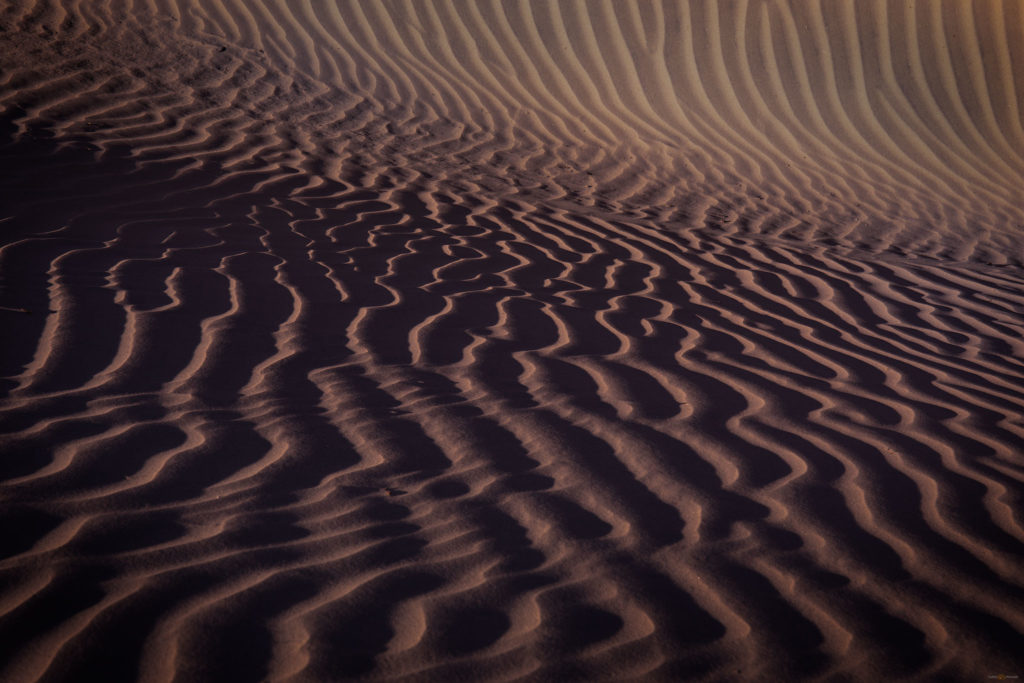
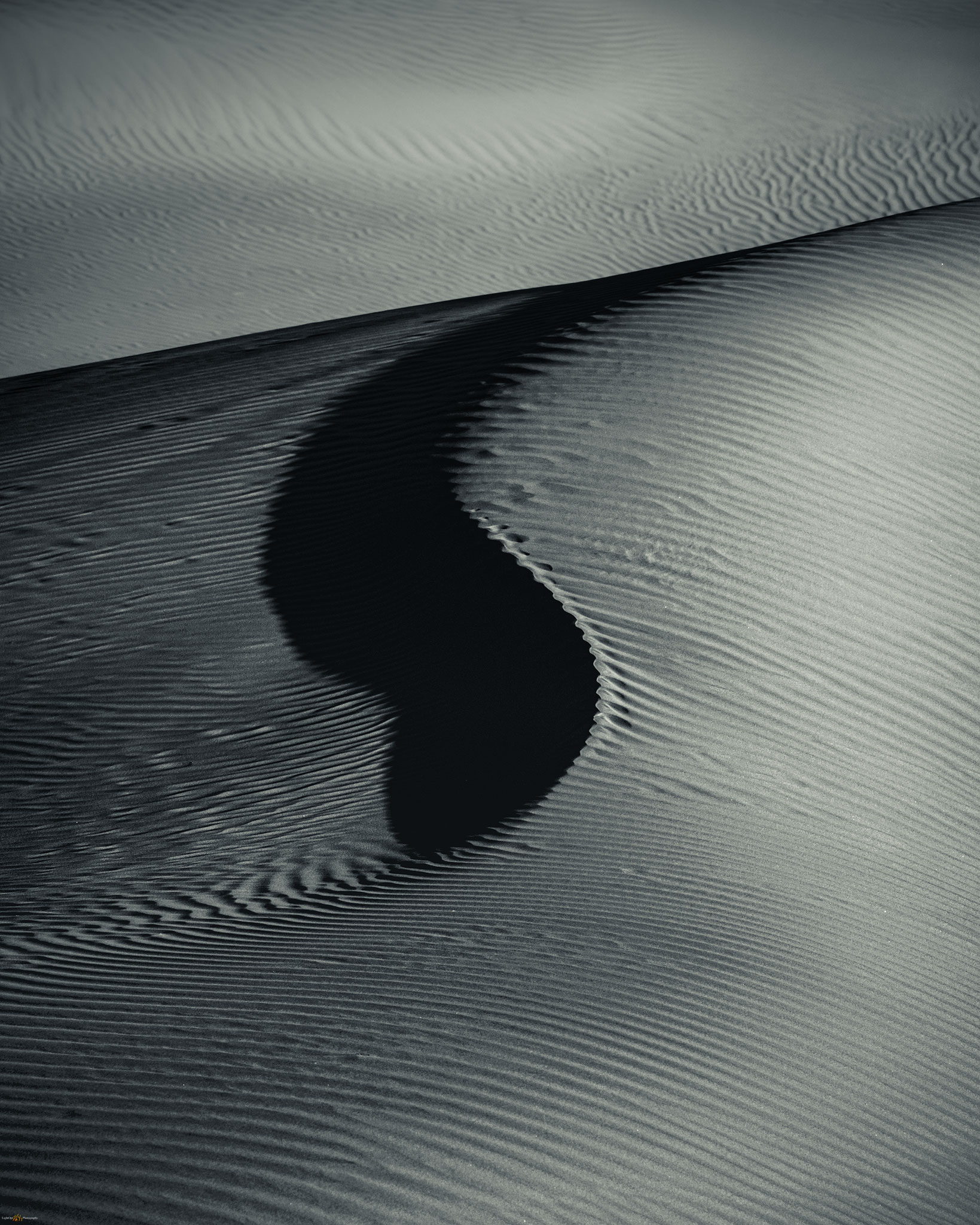
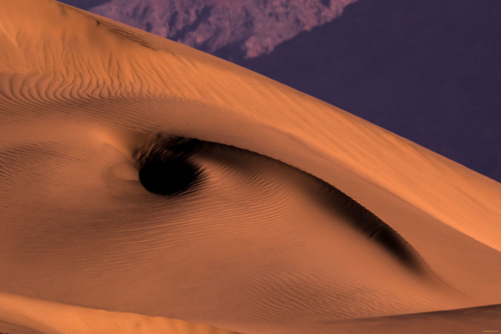
A meditation on the repeating patterns on a small dune in the Mesquite Dunefield.

The morning was another matter.  We were outbound, heading for the Alabama Hills, but we took a timely and deserved stop at the Mesquite Dunes. Sunny, calm skies forced us to turn inward, looking for small scenes in the golden contrast of the morning. We approached from the southeast to avoid the tracked-out areas of the previous day’s visitors. These dunes appear in thousands of images in as many ways, but the attraction of contrasting patterns in the ever-changing landscape is profoundly magnetic.

Locals only.
Into distance.
Balance.
Revealed. The intimacy of patterned ground.
The Watching.

Death Valley Collection

We dispersed and enjoyed our time before beginning our journey home.  We had one more stop to make, so driving again, we emerged from sea-level to greet the valley at the foot of the High Sierra.

Keep going.

Please respect the natural and cultural resources of our public lands.

#naturefirst #keepgoing

In the days when we could wander… Death Valley, Part 1.

D. Craig Young · April 21, 2020 · 6 Comments

There is always the desert. Although I thrive in arid landscapes, I find them difficult to photograph. Of course, there are waves of contrast in sand dunes, brilliant rocky outcrops, and magical golden-hour light, but so much of desert space is a great wide open, playas to mountains with subtle shifts in color. I occasionally come across exceptional images by the few who take the time to learn the desert light, and I continue to accept the challenge of capturing personal images in these cherished, sharp-edged lands. 

We would meet in the Eastern Sierra, Erno had the idea, heading into Death Valley for a wide-ranging, end-of-winter tour. The Iceland team – ‘the stud puffins’ – gathered at StoneHeart at the foot of the Carson Range on a Saturday afternoon mid-February; Jeremy, Quinn, and Sandy had timely flights, and the weather cooperated to let Erno and Randy drive over from California’s Central Valley. We formed a little caravan of camping rigs, departing Nevada for the short drive to Mono Lake, our first stop. 

Simple evening. The start of the trip was a pleasure, though my early images were difficult.

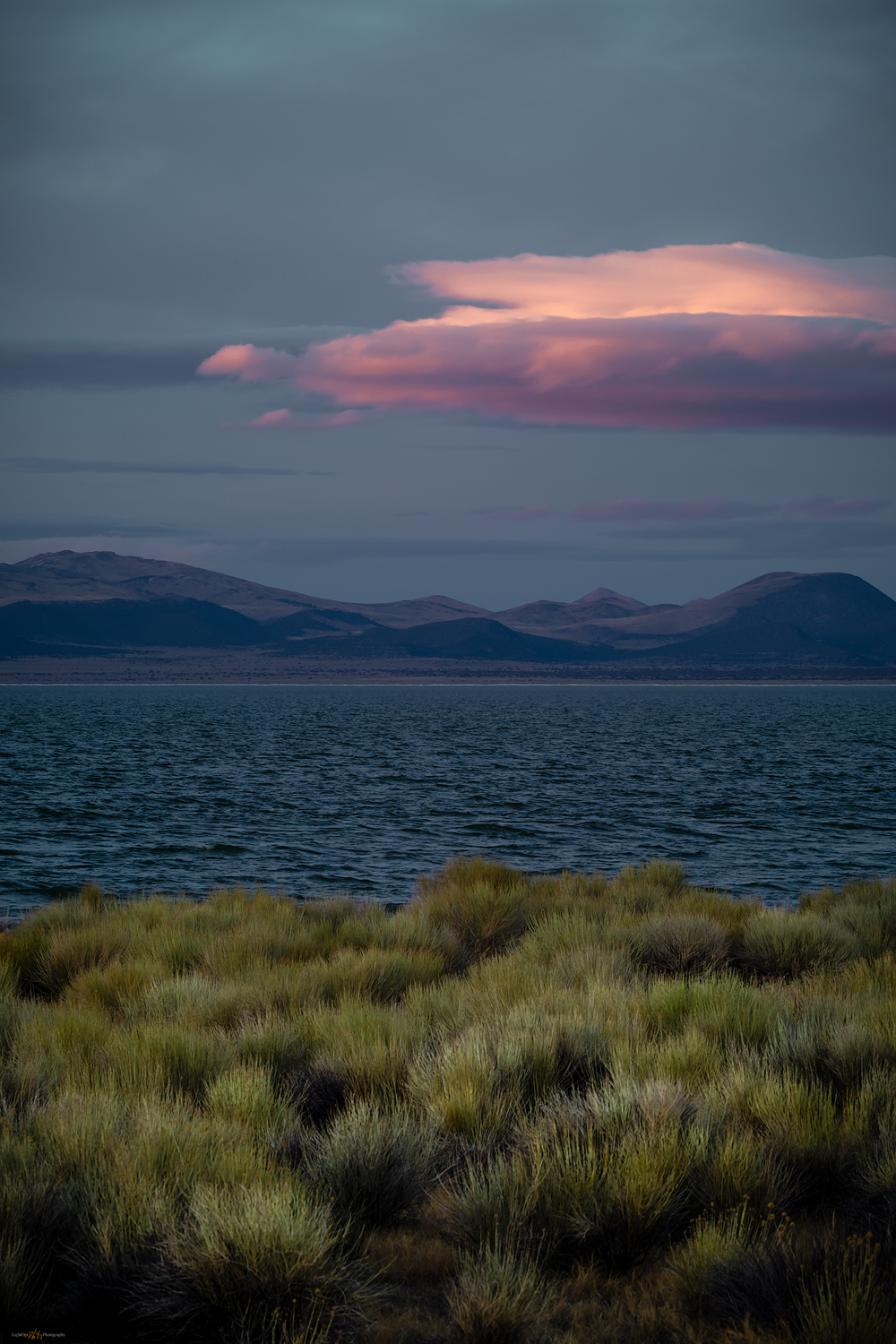
I scouted the sand tufa a few weeks earlier, but I have not had much luck here.  I need to take more time with these unique tufa formations, but, for now, I am drawn to the lake. This is a pattern; I am still drawn to the big landscape but want to learn to focus on compelling foregrounds and the emotion of intimate scenes – I just need to take the time to do so. 

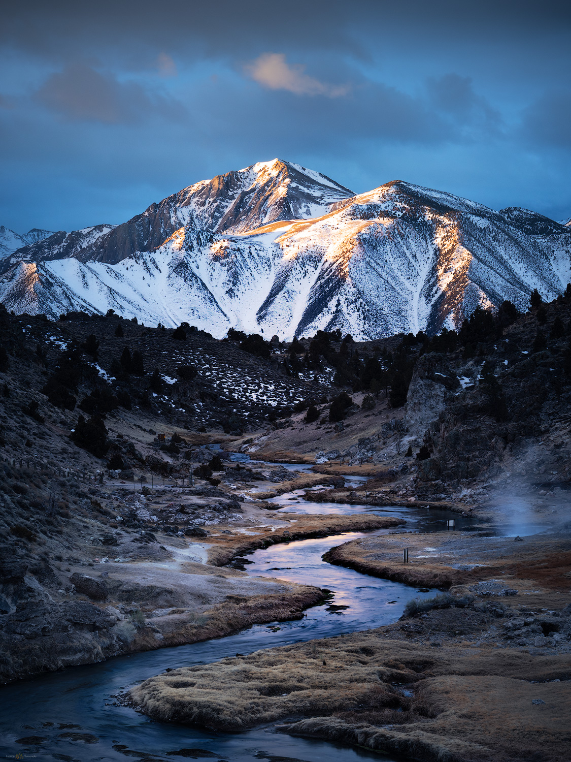
Beneath starry skies, we camped just off the quiet highway – closed for winter a mile up from our sideroad stopover. The sunrise promised good light, so we were off in the pre-dawn to Hot Creek, a semi-iconic photo spot along a classically wandering Sierra-fed trout stream. Mist from the mid-stream hot springs can add perfect atmosphere under the right conditions. I have been here many times, but always focused on a post-climb/ski hot spring bath. And yet, in the past decade or so, the hot springs have become a dawn-t0-dusk managed and fenced viewpoint, deterring the use of the springs, which at times can be dangerously active and, well, hot. Enough people have gotten themselves into trouble, and not survived the hot pools, that even considerate use has been curtailed. One of those things. 

Hot Creek rise. First light at the local icon.

Death Valley Collection

We took good advantage of the scudding clouds at sunrise, looking up canyon towards the Sierra highlands above Sherwin Creek. As is often the case, there were a few other tripods along the outcrop above Hot Creek, but it was worth the stop. We headed for Bishop under clearing skies, grabbing a late breakfast in town – seems a luxury now – before the long drive, chasing the day into Death Valley. The traffic increased, almost exponentially, as we worked our way through typically lonely desert, crossing through Panamint Valley and dropping into Stovepipe Wells. It was there we remembered that it was a three-day weekend (forgetting that was part of our plan too) and that it turned out to be a fee-holiday in the National Park. The roads and parking areas hummed with traffic, and campgrounds appeared near capacity. 

Our evening photo target was the playa-margin known for polygonal patterned ground and salt formations. It would be a short hike, so we knew that we would have some solitude even amongst the pavement-bound crowd. Erno and Jeremy picked a pull-out and the team began the hike into the basin. In the meantime, I decided to roll into Furnace Creek to check our chances of getting a camp spot – would we have to head out of the park to find public land access in the dark? I rolled into Sunset Campground working my way among wind-blown pup tents, burly jeeps, cruise ship-sized RVs, random generators, and oddly lit banners on towering flag poles, to find some clear gravel at the terminus of the overflow parking. It’ll do. I ditched the trailer, paid the camp fee, and headed back to the sunset location. 

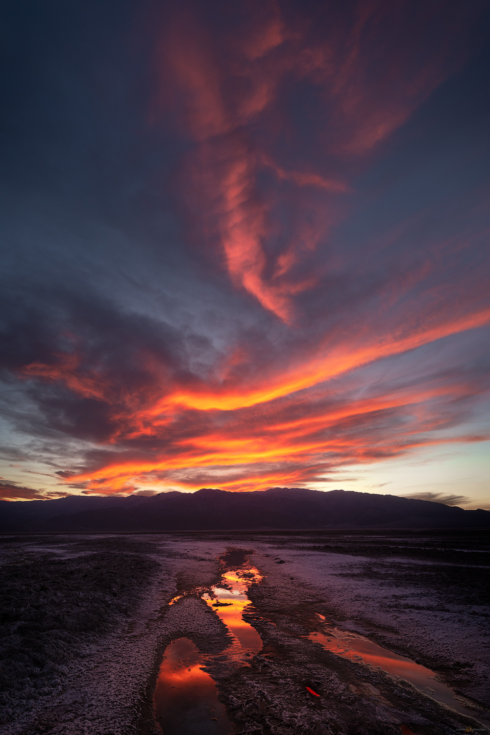
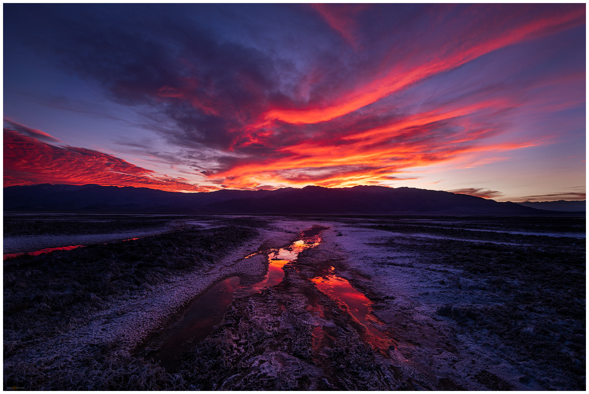
With the light fading, I began my hike before I reached our team’s parked rigs. I worked my way into some salty seeps forming shallow swales that drained further basinward. I liked the lines leading in two directions, upslope toward the eastern mountains or directly into the western skyline. The clouds looked promising, but I could not decide which direction would be most promising at sunset’s illumination. I did not want to chase tonight – I had just finished chasing campsites! I wanted to settle in for a shot. After finding a long linear pool of still water, I stood for a while, gazing back and forth to opposite horizons. I sat down, watching the east, watching the west. As I decided on the eastward view and began composing an image, I turned to grab a lens cloth from my bag. At that moment the western sky, which had been at my back and not at all in my composition, caught fire. So much for the patience of avoiding the chase. This was why I was here, and it was only two or three steps backward to compose the convergence of the reflective line of the pool and the fiery wisps of evening cloud.  

Convergence. The desert aurora of sunset in Death Valley. This is what you hope for.

For a few, all-too-short minutes, the clouds danced in a desert aurora as waves of orange, red, and violet descended into the evening. In the quiet I could hear the others whooping it up somewhere to the north, far out in the glow of the salty basin.  

Convergence 2, Death Valley, California. The flames of sunset race to earth shadow.

Death Valley Collection

Keep going.

Please respect the natural and cultural resources of our public lands.
#naturefirst #keepgoing

High Sierra Photography on Horseback (2019): An abundance of clear sky

D. Craig Young · April 5, 2020 · 7 Comments

Desna, my wife and partner, is into horses. I am comfortable around horses and like them, but I am mostly the local ranch-hand in charge of construction duties that come with having a couple horses here at StoneHeart. Ok, I truly enjoy sitting on the fence at sunset, sharing a beer with the one horse that enjoys a few sips. I can stay upright in a saddle and, although lacking the appropriate horseman etiquette and skill, I can get them to go almost where I want them to go – as if anyone really can, they pretty much do what they want.

So, it was quite the surprise when, in January of last year, Des brought up the idea of doing a pack trip in the Sierra. While researching the possibilities of attending some cow-camps with Jahtz, the beer-sipping horse, she had gotten a friend’s recommendation to check out the offerings of the Rock Creek Pack Station. Now, I am all in favor of Des heading off to cow-camp, but the horse is much better company on those outings than I would ever be. And yet, something else caught Desna’s attention. The pack station has teamed up with photographer Ken Lee, offering a photographic workshop and tour, via horseback and backcountry camps set by a pack team in the high reaches of the Pioneer Basin of the Sierra Nevada.

Des stewed on it for a few days, thinking she would have to coax me into even considering spending five days on horseback. She thought it would be the best of both worlds, horses and photography – activities we often do independently – in the mountain environment we love. When she proposed the trip, I took a quick look at The Art of Seeing, the portal to Ken’s photographic creativity, world travel, and instruction. I was immediately all in. She was as surprised at my quick acceptance as I was to her original proposal. It is our 30th summer together, so in August 2019, we would have the perfect celebration.

Heartblaze. Desna captured this image outside our cabin at Rock Creek. Our icon for everything leading to this trip in our 30th summer.

Eight Months Later: August 2019 –

We spent the night at a rustic little cabin at Rock Creek Resort. Rock Creek is only a couple hours from StoneHeart but we splurged a bit on the creek-side cabin, knowing we would be tent-bound for several nights to come. It had been a while since Des had ground-camped for more than a night or two, so she was a little apprehensive. I, on the other hand, had never ridden a horse outside of a fenced paddock or pasture since I was a pup at summer camp. I was about to climb in the saddle for an 11-mile trip over Mono Pass. I was very apprehensive but figured I could just as easily hike the route if my horse lost track of me. Des presented me with a lambskin saddle pad, knowing well where the future pain points might be.

Pioneer Basin Gallery

The Logistics

We are at Rock Creek Pack Station at 6:40 AM for a 7:00 start. We find organized chaos as we pull in behind Roy and Robin unloading in a staging area among feed bins and tie downs. Horses and mules shuffle in place as saddles are prepped. We shift the personal gear from the truck to communal tarps. We were each given a 35lb limit for field gear (not including tents) but it piles up as folks continue to arrive. 

We wait. A couple people missing and it is 7:20; declarations of leaving without them. As Craig London DVM, proprietor, starts the pack station introduction, the last car rolls in. Held up by errant planning, and a variety of comical excuses, a mother and son duo scramble about trying to catch up. The mules are basically loaded according to an interestingly precise dunnage system; Trent, our quiet lead packer and expert guide, begins a reset.

Finally, the introductions are made. Ken, our leader, steps up with Craig and introduces himself along with the general plan. It’s breakfast time and we gather among introductory conversations. Roy and Robin are brothers. Roy has been on several of Ken’s trips, including a previous ride into Pioneer Basin. His brother Robin, from New York City, has joined him this week. I look forward to traveling with these guys.

We sit with Janet (Seattle) and Adrian (Maryland); Dave (San Diego) soon joins us. The meal is hearty mix of fried eggs in toast (egg resting in a clean circle in each slice of bread), sausage, and fruit. A box of sandwiches appears for our traveling lunch. It is unsafe to carry packs on our individual horses so we are given a small “horn pack” where we can stow a water bottle and a few other bits of gear.

Penny, our cook, gives us a safety presentation with one of the horses. It is pretty much what you would expect, serious things to be attentive to, but in the end, have fun, don’t die, and “if you don’t wear a helmet, you’re an idiot”. I have chosen not to, however, confirming the idiom. I would second-guess this decision several times in the coming days. And then we meet our horses…

Cisco. A daily partnership in the backcountry.

Cisco will be my partner for the next five days. He’s a tall, white and gray, probably some kind draft horse mix, with a bright red halter. I’ll need a rock to get on the giant. Kayla, our second packer, helps with the bridle and reigns and then I load up. Des is on a chestnut Haflinger; they look great and it should be fun for her as we head into the John Muir Wilderness. But first we stand and wait a while. Some skittering about as the late-comers continued to shuffle with their personal odds-and-ends.

Finally, Kayla led out of the corrals and into the forest. The horses took up their habitual positions, trail-wise, end-to-end. They were also ready to go. I missed it, but Trent must have left with the mule-train while we were having breakfast.

We rode a long gradual ascent, with rocky granitic steps. The horses climb impressively and mostly carefully. They wrestle a bit with ones in front or behind. I set in with conversations with Jeff (Pittsburg; who I thought was a second “Ken” for a while) as he rides behind me. We stop once to check straps and have a rest below Ruby Lake. This is much easier than I anticipated. I feel fine as we begin the switchbacks to Mono Pass. The views have become expansive to the south toward Bear Creek Spire and Mount Abbot. It is perfectly clear as we traverse the pass, dropping to wade into the sandy delta of Summit Lake. The views in every direction are inspiring as we begin our drop to Trail Lakes, the spot for lunch.

I refill my water bottle from the creek below Trail Lake. We don’t have a filter readily available, but Penny lets me know that they’ve been using the water at this elevation straight from the streams for many years. If I’m going to stay hydrated, I’ll need to embrace this. The pack station gear list had water filter as optional. We’ll see.

The downhill is tough, on the horses and the riders. It seems an endless series of short switchbacks dropping into the forest near Mono Creek. The horses pause at stream crossings to drink heavily or simply lollygag prior to continuing the descent. It is impressive that there are no mishaps on the way down; the horses are careful generally even as they twist and hope, with marginally sure footing of steel shoes and granitic rock.

The climb out of Mono Creek is relatively short in a pretty woodland before we pop out at grassy lake and see a group of tents on a boulder-strewn ridge to the water’s east. This is our camp. There is a field kitchen and a cluster of lawn chairs. A dug privy occupies a ragged but functional tent cover. I find a sandy patch to set our tent (we brought our own) and then we lounge before dinner.

Prepping for night photography, campside.

Ken introduces the plan for the coming days, talks a bit about altitude and acclimatization. Penny is already working on dinner. We get to know each other a bit – Michelle (Portland) and her aunt Judith (Salt Lake City), Judith is an appellate court judge. Sarah, Zach’s mom, is not feeling well, barely managed to stay upright on the descent. Some concern over her wellness, but we are hoping she can rest and improve in the altitude. Zach doesn’t seem too concerned. He’s studying some Mountain Medicine books, prepping his collection of film cameras, and thinking about a hike to lakes further upstream. Sarah would rally over the coming days, and I believe everyone took something special away from their time in the backcountry.

After a pasta dinner we disperse around the lake for our first evening shoot. The mosquitos are going to enjoy us. They seem thick for August, but I was ready for this. Still it is hard to concentrate, and the clear sky is losing my attention. I decide to turn in, Des having been way ahead of me. In my sleeping bag, as I wait for sleep, I am still swaying from the day’s ride.

The Photography

The strategy for the next few days consisted of short morning hikes to various lakes in the Pioneer Basin, usually followed by an afternoon ride to a more distant location along Mono Creek and into the Fourth Recess. Ken let us operate independently, working with individuals or groups as questions or requests come up for discussion. Each afternoon we gathered for a discussion and presentation under the trees adjacent to our camp kitchen. I liked his approach.

Pioneer Basin Gallery

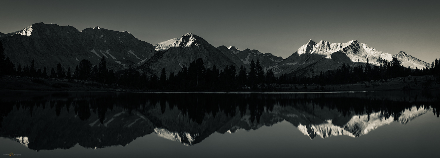
First light. Up early the first morning in the backcountry, I had no idea the sky would remain unchanged for the trip. I enjoy reflective panoramas, the simple (cloudless) backdrop highlighting the music of the subject.

The problem on this trip was the weather. It was perfect, for riding, hiking, and relaxed camping, but not for photography. The skies were clear and remained so, with very minor exception, the entire time. This is never what one hopes for, especially when enthralled and inspired by the vistas with each day’s hike above treeline. I love photographing mountains, but I struggled each day. I did not have my mind wrapped around black-and-white composition nor did I find satisfaction (on this trip) searching out intimate scenes in the forest or among the rocks.

However, it was amazingly beautiful, and we had great company. My Lightroom catalog says I took over 500 pictures; I captured a handful that I like. In fact, my favorites may be the moonlit images captured when most folks had turned in for the evening. Working with the contrast of moonrise on the jagged ridgelines was something I visualized prior to entering the backcountry.  I like my one strong black-and-white panorama of Mono Rock and the Recesses.

Pioneer Lake #2 Mornings

Pioneer rhythm. An early morning hike to Pioneer #2 revealed reflecting pools of blue with the mass of Mono Rock beyond.
Pioneer portrait. Ken took to a lakeside outcrop, where I chose to play with the light. I added some haze and vignette to emphasize the blue-hour portrait.
Rock. I seem to have many images of granitic rocks in vivid, reflective pools.

Night Photography at Camp

Milky Way camp. An instagram cliche, but that doesn’t make it any less fun. When skies are clear, night photography calls.
Moonrise camp. As the moon dissolves the Milky Way, there is new drama in the crags of Third Recess.
Alpine moonrise. Moonlit approach to the Third Recess.

Afternoon Recesses

Into the riffles. Roy working the intricate cascades of Mono Creek. We spent afternoons searching the dappled light of the forest.
Fourth Recess. A few clouds on the last afternoon in the beautiful Fourth Recess.

Pioneer Basin Gallery

Special thanks to Ken Lee. A mindful photographer and excellent, patient instructor, Ken is one of those people I would look forward to travelling with, or running into, anywhere. I appreciate his outlook on landscape and travel, and he deserves continued success. After my excellent Iceland experience, I had thought I might not join another workshop, preferring to travel on my own or in smaller groups, but I am so glad Des brought us together for a few days. The endless blue skies were not his fault.

Des played with photography on a few outings and she enjoyed Ken’s instruction on capturing images with mobile devices. She took our favorite and iconic heart image on the night before the workshop. Done. Drop camera. Ride horses. We enjoyed the sunny days as we have enjoyed the 30 years. They ain’t all perfect, but it was fun getting there.    

Keep going.

Please respect the natural and cultural resources of our public lands.
#naturefirst #keepgoing

  • « Go to Previous Page
  • Page 1
  • Interim pages omitted …
  • Page 3
  • Page 4
  • Page 5
  • Page 6
  • Page 7
  • Interim pages omitted …
  • Page 10
  • Go to Next Page »

Trail Option

Copyright © 2026 · Monochrome Pro on Genesis Framework · WordPress · Log in

  • Contact TrailOption
  • Substack
  • Waypoints Bibliography
  • Young Archives