• Skip to primary navigation
  • Skip to main content

Trail Option

A personal geography of landscape and place, art and geo-science.

  • Home
  • TrailOption Blog
  • WayPoints
  • Galleries
  • About
  • Contact TrailOption
  • Subscribe!
  • Show Search
Hide Search

landscape photography

Quinn River and the Sentinel

D. Craig Young · June 1, 2018 · Leave a Comment

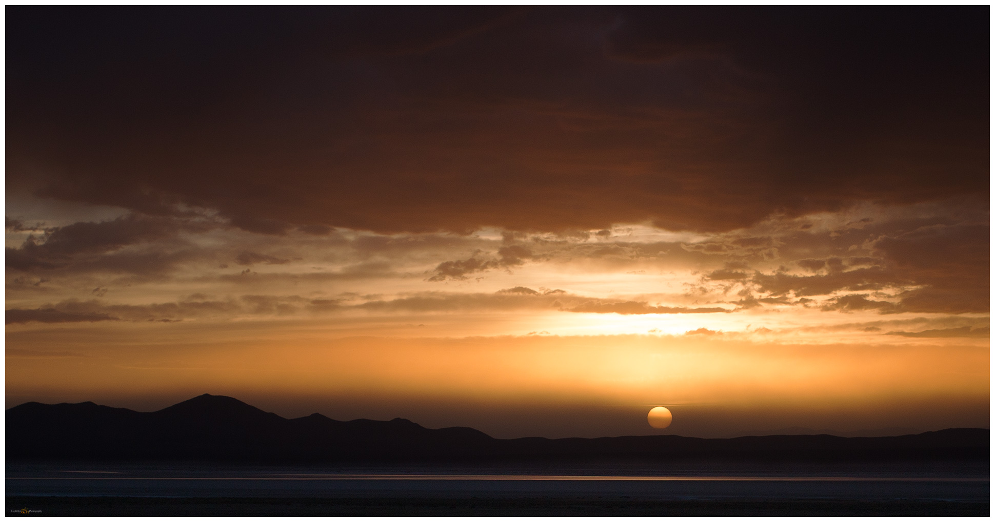
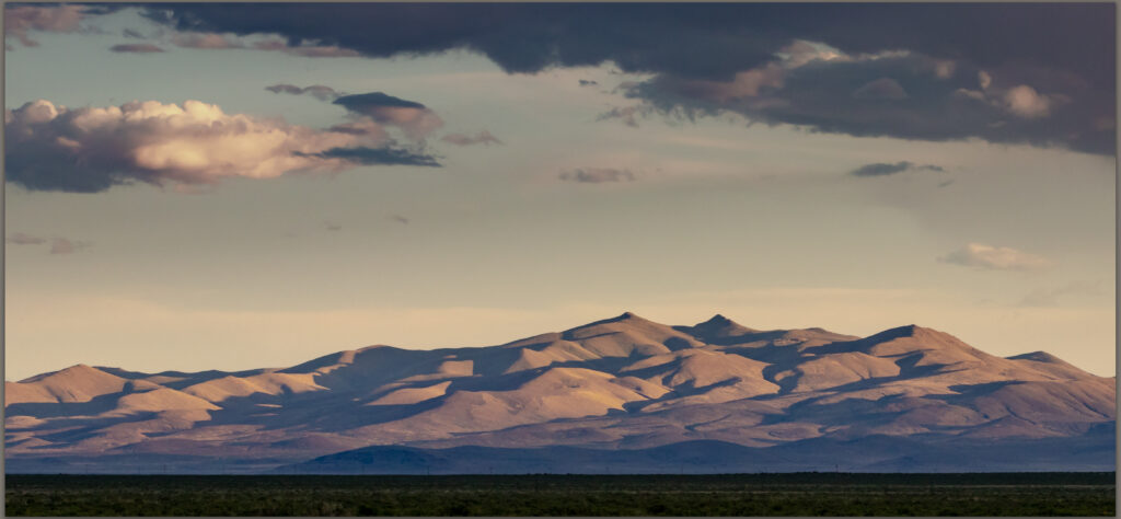
Slumbering Hills. My mild attempt to bring out the light of Maynard Dixon, Great Basin Desert, NV, USA

I have been camped for a little more than a week with an archaeological team in the Quinn River Valley of northern Nevada. Our work focuses on the vast, natural obsidian sources of the Double H and Montana Mountains that rise west of the valley’s broad sagebrush and agricultural land. I have been doing research on obsidian sources in this area of northern Nevada, off and on, for over twenty years, and I am still amazed by the complexity of these ancient volcanic rocks. Of course, I enjoy every opportunity to get into this part of the Nevada outback. While we document the obsidian and archaeological sites throughout the source areas, I get time in the early mornings and late evenings to practice and capture compositions around our project area.
Quinn River Collection

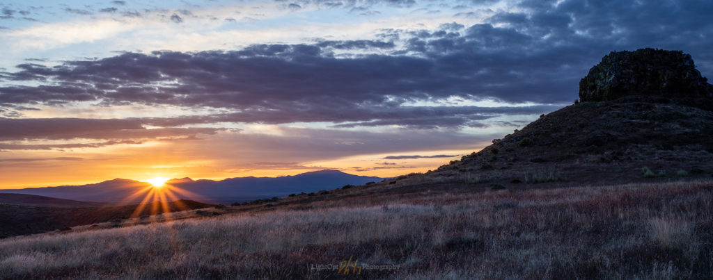
Sentinel morning. First light is always fun. Seems a little unbalanced due to the dark outcrop. This is an HDR merge of two images. 1/15 sec, f/22, ISO 100; Canon 5Div, 17-40mm (38mm).
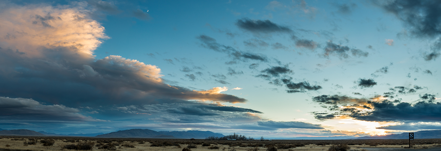
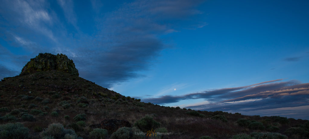
Sentinel moonset. The wide angle almost loses the moon. 1/25 sec, f/14, ISO 100; Canon 5Div, 17-40mm (17mm).

Sentinel Rock is a prominent landmark on the western side of the Quinn River Valley. I am on the road early one morning—the morning with a few clouds—to hike the ridge to the volcanic plug. I circle the outcrop to capture the sunrise and the moonset. The images are nice, but I struggle with how to work with the dynamic range while expressing the feeling of early morning light.

The clouds built into isolated and short-lived afternoon thunderstorms, so I worked into the evening to watch the light play on the mountains. I undoubtedly spent too much time on the big views of the light, as I often do, and this results in a general lack of clear subject or foreground interest in many of the images from the Quinn River evenings. It is a basic limitation of moving between camp and the project area, or heading out quickly at the end of a field day; there is little time to get settled into a specific place and find a story or compose one or two thoughtful images that highlight the experience of this part of the Great Basin.
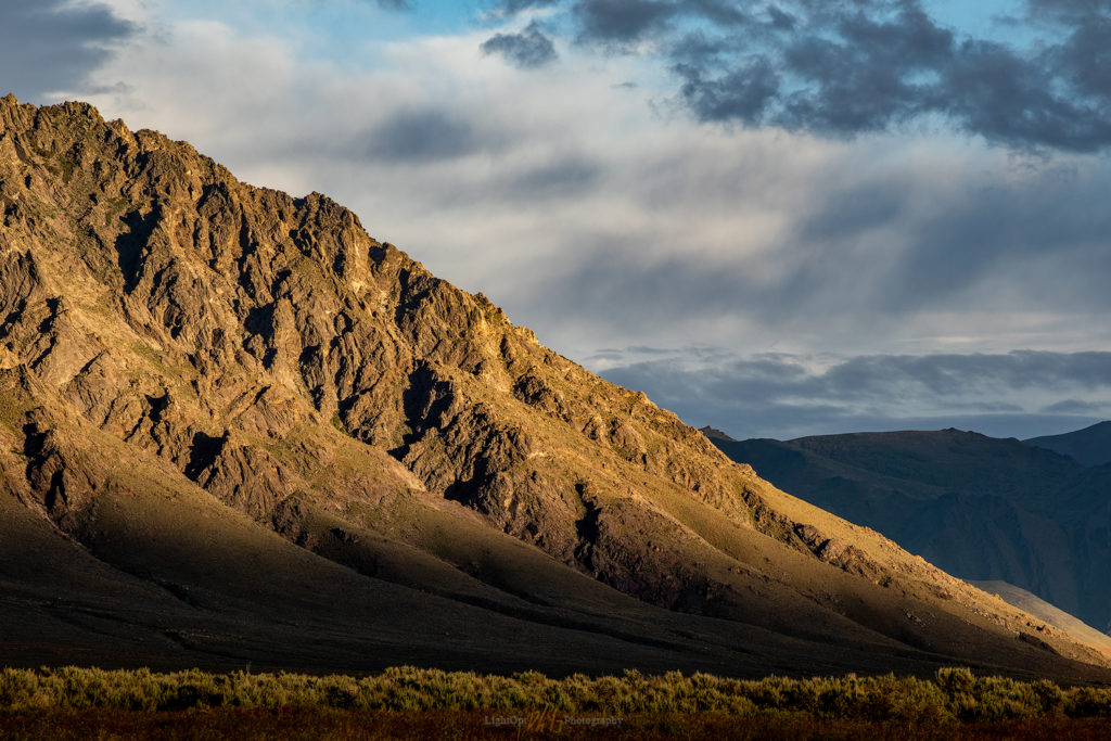
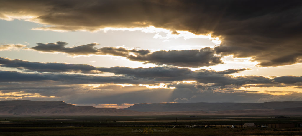
Orovada rocks. The rainbows have faded, but the post-storm show had one more curtain-call. 1/20 sec, f/14, ISO 100; Canon 5Div, 70-200mm (168mm).
Camp after rain. Our field camp in the Quinn River Valley. 0.4 sec, f/22, ISO 100; Canon 5Div, 24-70mm (55mm).

I like this challenge, but I remain on a slow learning curve. So, my shots remain disconnected snippets of my time along the Quinn River, and yet, there are a couple favorites here that will inhabit my portfolio collection for the near future.
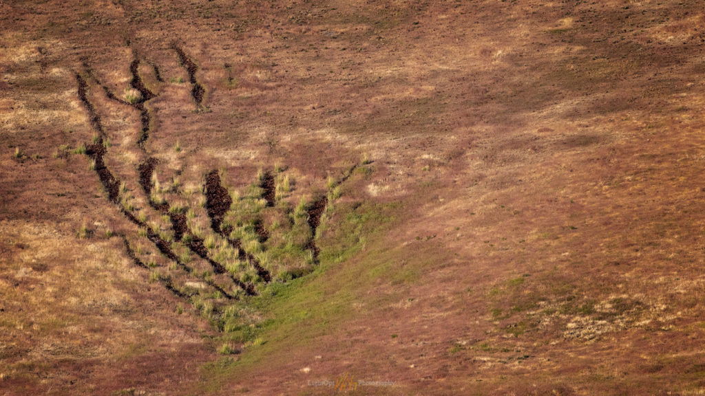
Scratched. Rock lines in the talus of Crowley Creek, the view from the Sentinel. I’m always on the lookout for animal tracks, scaled or not. 1/500 sec, f/8, ISO 400; Canon 80D, 70-200mm (168mm).
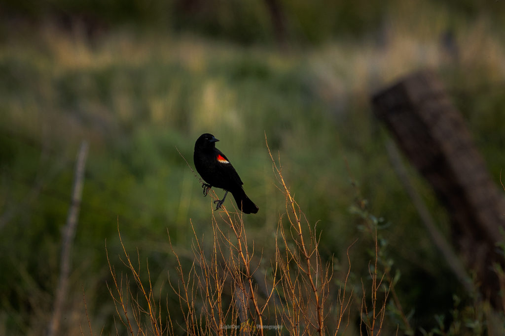
Red-winged sentinel. This noisy friend (Agelaius phoeniceus) followed me through the wetlands of Crowley Creek. 1/320 sec, f/4.5, ISO 200; Canon 80D, 70-200mm (168mm).
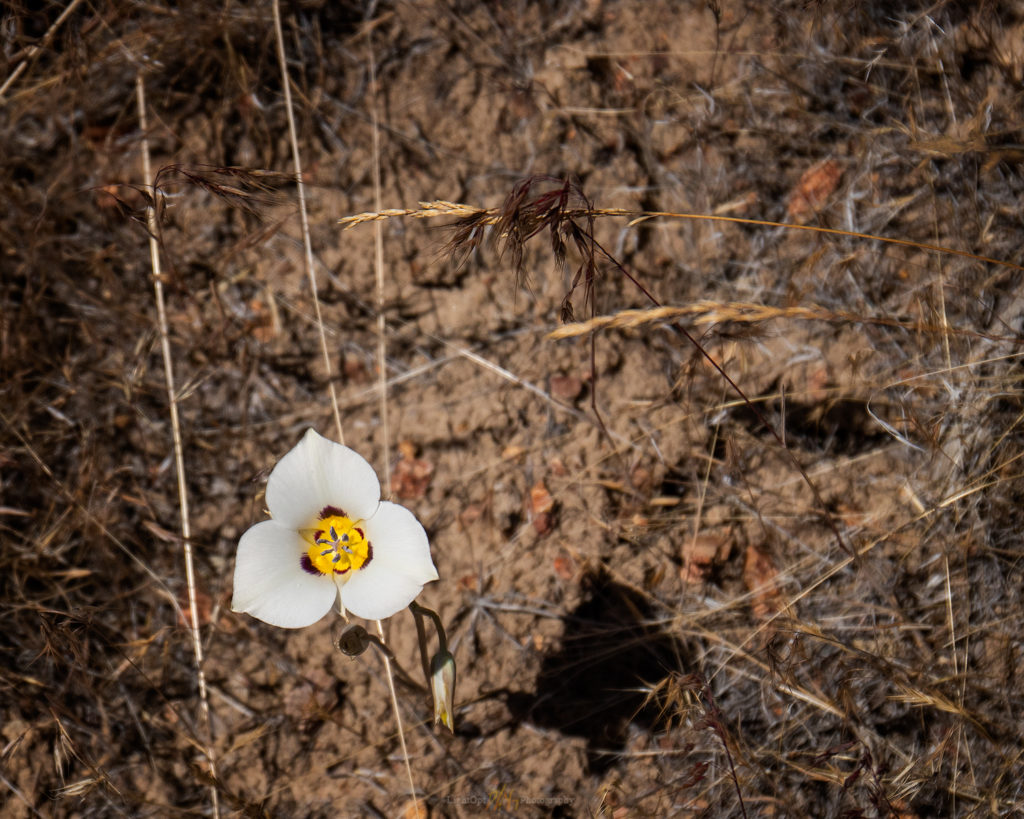
One. A lone sego lily (Calochortus nuttallii) in the sagebrush of Thacker Canyon. 1/1250 sec, f/5, ISO 200; Canon 80D, 24-70mm (53mm).
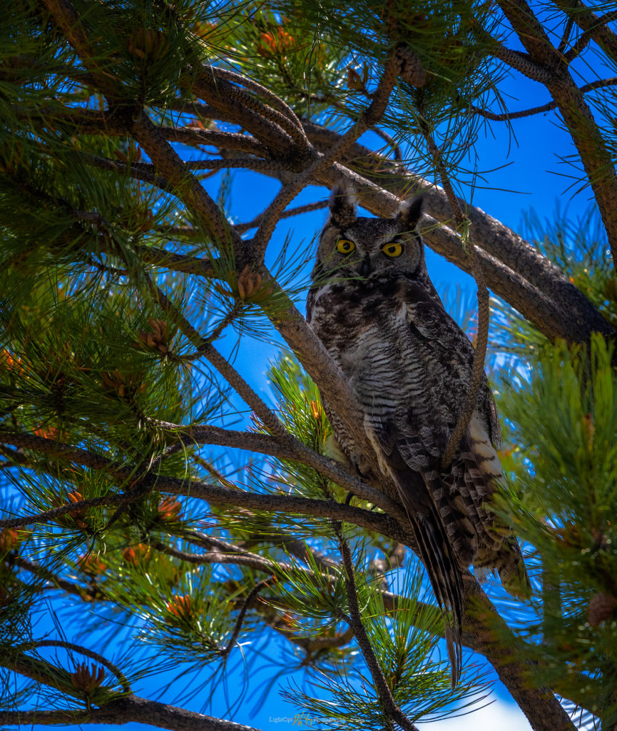
Camp host. A Great Horned Owl (Bubo virginianus) at rest in the mid-day, but keeping close eye on me. 1/130 sec, f/5.6, ISO 400; Canon 80D, 70-200 mm (180mm).

Quinn River Collection

Keep going.

Holiday at Planet X

D. Craig Young · November 24, 2017 · Leave a Comment

Planet X and Smoke Creek Desert

One of my favorite respites from road-weary travel in the Black Rock – High Rock country of northern Nevada is a stop at Planet X Pottery. John and Rachel have become great friends over several decades of occasional, but all-too-rare, visits to their home and gallery northwest of Gerlach. Our shelves are lined with the basin-born art, pieces having evolved to daily utensils that maintain our connection to the desert at the foot of the Granite Range.

We went out to visit John and Rachel and to share Thanksgiving dinner, taking a holiday break with a drive into northwestern Nevada. We are rarely confined here at StoneHeart, but we will take any opportunity to shrink into the space of the Smoke Creek Desert. The forecast called for a chance of an early-season, slider storm. Hard to predict where the fast-moving fronts will have an impact, but they usually provide an active sky.

Planet X Collection

I took some time in the evening to follow the build-up of moody skies. I circled the property, walking the desert in search of compositions that would give a sense of space while also highlighting some subject of interest. I kept coming to views of the Planet X gallery set against the changing skies. John and Rachel often use images of the gallery and its desert habitat to advertise gallery shows and to highlight its unique setting. I thought I might try to add a few to their collection, a thankful expression of many years of welcoming visits and a wonderful Thanksgiving dinner to come.

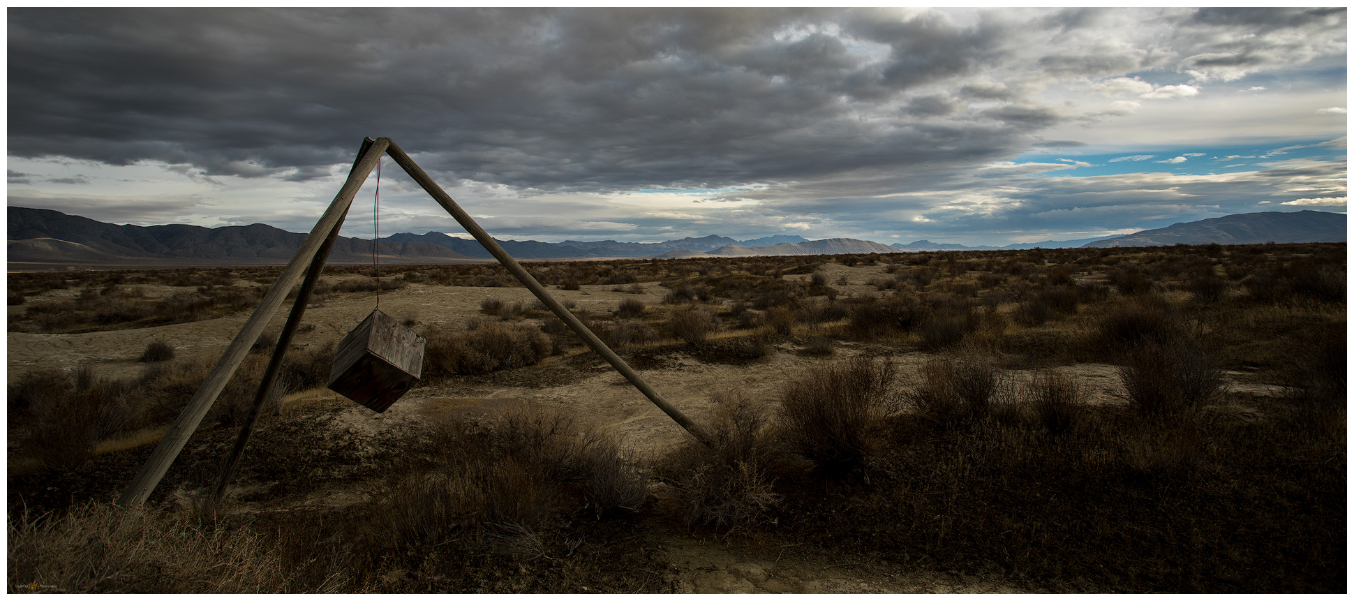
Wind vane, Great Basin, Nevada. Installation on Smoke Creek Desert.
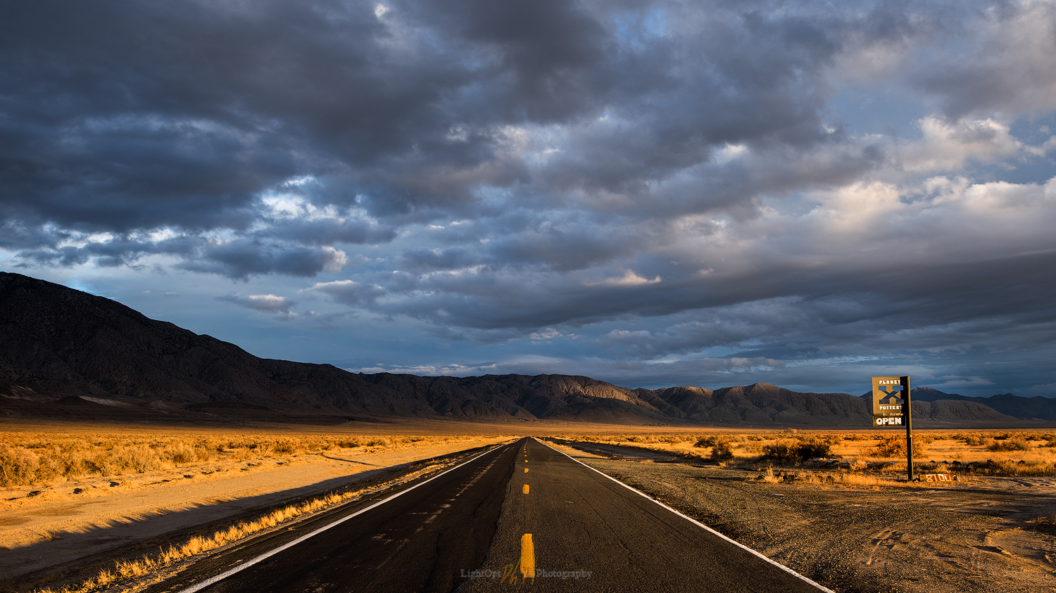
The vanishing at Planet X. I love lonely, straight-line roads, especially where good friends are found. 1/50 sec, f/8, ISO 100; Canon 5Div, Sigma 20mm F1.4.
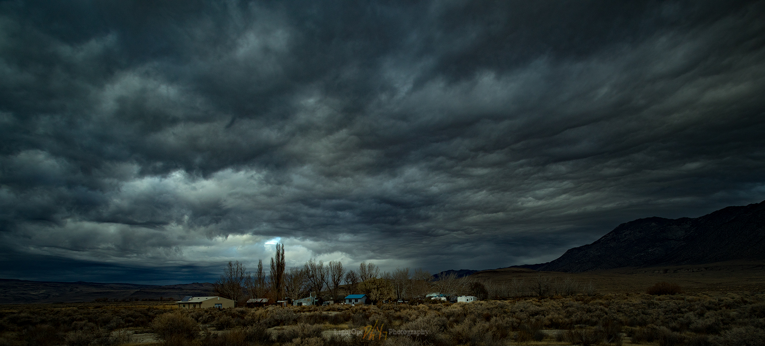
First storm. The skies turned ominous in the late evening of Thanksgiving. The storm, however, passed us by — dramatic decoration only. 0.5 sec, f/8, ISO 100; Canon 5Div, EF 17-40mm F4L (17mm).

The skies cleared in the early morning. After a few very early excursions outside the house, watching the constellations spin above the desert, I drove into the pre-dawn darkness to work on a series of sunrise shots in the arroyo of Squaw Creek west of the gallery. These are the kinds of images I really want to make work. Arid landscapes with prominent landforms or compelling evidence of geomorphic process and change—highlighting the beauty, subtlety, curiosity, and occasional drama of the natural systems of deserts and mountains. High hopes, and though unsuccessful this morning, I enjoyed, as always, engaging the landforms and watching the light of the morning come alive. It was good practice.

Arroyo dawn. Waching sunrise over Squaw Creek arroyo at the margin of the Smoke Creek Desert. If I am going to highlight landforms, I need to compose with their features as clear subjects of interest. The sunrise dominates this composition. 1/4 sec, f/16, ISO 100; Canon 5Div, EF 17-40 F4L (17mm).

I spent the mid-morning wandering the gallery taking hand-held stills of the beautiful habitat of art and life around the gallery. This was not something I’d practiced at all previously and I enjoyed the outcome.

Morning bell. A scene from the porch gallery at Planet X. 1/160 sec, f/7.1, ISO 100; Canon 80D, EF 24-70 F4L (35mm).
Wheels and wood. Looking for patterns and contrast. 1/640 sec, f/5, ISO 100; Canon 80D, EF 24-70 F4L (26mm).
Broken window. Painted ceramic by John Bogard; my favorite of his motifs. 1/125 sec, f/5, ISO 100; Canon 80D, EF 24-70 F4L (42mm).

Planet X Collection

Thanks so much to John and Rachel for our holiday escape to Planet X. We will return with pies someday soon.

Keep going.

Morning Tarn, Carson Pass, CA

D. Craig Young · September 4, 2017 · Leave a Comment

Round Top (10,381′). I enjoy this peak above Carson Pass. Good summit trail. Captured this image after sunrise on my hike out. 1/50 sec, f/9, ISO 100; Canon 6D, 100-400mm (118mm, cropped).

Up at 4AM and out the door by 4:30, headed for Carson Pass and a short pre-dawn hike to the tarn at Carson Gap. Again, the access to the pass and its surroundings is so easy and relatively quick — still pretty quiet in the early hours of the last day of the Labor Day weekend. The trailhead has more overnight cars than I saw as I started my trail run over Carson Pass to Meiss Meadows on Saturday morning, but there are still plenty of spaces just before 5:30. I sign in, grab the pack and headlamp, and start up the trail.

Morning Tarn Collection

Always mildly spooky at the get-go, but soon I settle in to the quiet and slowly growing light. It’s only about a half-hour hike to the pass. I make a couple video recordings to get some sounds and check the light (the video results are ok, but the audio is, as expected, mostly terrible). Ok, if I’m talking right into the camera but otherwise useless. I am probably not cut out for vlogging.

It was on Saturday’s run over the pass that I first encountered the small tarn and its reflecting views of Round Top beyond the pass to the south. The setting is perfect of some compositions of Round Top, a peak I have climbed several times, and I am sure astrophotography from the tarn would be special.

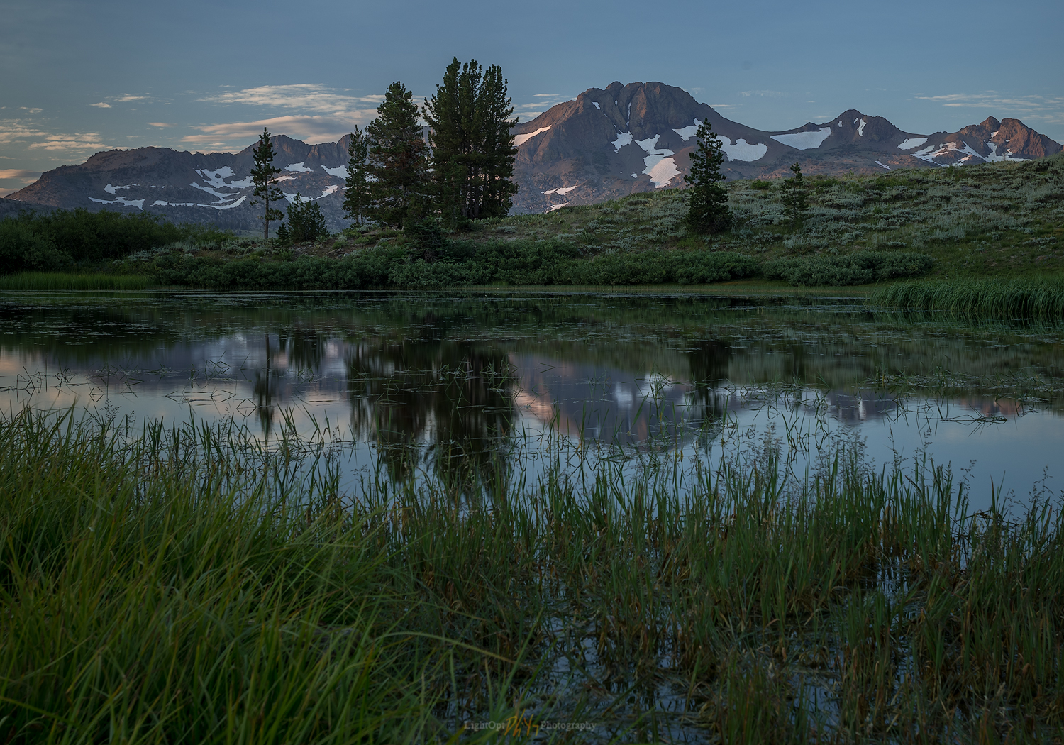
Carson Gap tarn. I enjoy this peak above Carson Pass. Good summit trail. Captured this image after sunrise on my hike out. 1/50 sec, f/9, ISO 100; Canon 6D, 100-400mm (118mm, cropped). Two exposure HDR blend.

This morning, the Monday of Labor Day, I was half-afraid I would find someone camped at the pond, but, as I crest the pass, coming immediately upon the tarn, I see I easily have it all to myself. Perfect, but for a rather uninteresting sky. Seems to be some low clouds to the east, out of sight but muting the sunrise so not much hitting Round Top. Nonetheless, there is a brief moment of goodness and I bracket some shots (2 stops around center). I position myself on on the north side of the pond to get some rushes in foreground and a slight mirror of the distant and striking Round Top. As the sun continues to rise, though still not in view, I get several more bracketed exposures, but the last image of Round Top appears to be the best, at least from the jpeg on the back of the camera.  I try another position further west to capture a few more clouds and reflections of Elephant Back.

Tarn and Elephant Back. It was worth a try. 1/8 sec, f/11, ISO 100; Canon 6D, 17-40mm (40mm, cropped).

I notice, as I am packing up to leave, a trail leading up the long ridge west of the tarn of Little Round Top, a minor but prominent highpoint northwest of Carson Pass. The unmarked trail diverges from the PCT in the brush along the south side of the tarn and heads upward to the northwest. It is worthy of a run soon, and I find a few good bivy spots. I will be sure to get back up here for a night of astrophotography.

Morning Tarn Collection

I head back down to the trailhead carrying the camera with the 70-200mm telephoto, hoping for some wildlife. I left the tripod attached thinking that might be useful — really just a hindrance.  Although there are some cute birds twittering around, I am way too close to the trailhead for anything of interest. On the other hand, it is a very nice walk out.  I am back to the trailhead by 8AM and home by 9. Nice.

Keep going.

Smoke and Sunset: Grass Valley, NV

D. Craig Young · May 15, 2017 ·

I’m back in Grass Valley, NV, working with a team of archaeologists and mapping the landforms along the valley margins. I left home this morning and I always enjoy traveling Highway 50, cutting across the middle of Nevada. The highways moniker as “The Loneliest Road” has lost its romance as daily traffic increases. I do remember driving east of Fallon and not seeing other travelers until approaching Austin or Eureka. But that was over a decade ago. It isn’t a busy highway, but it isn’t lonely.

I’m pulling the camp trailer and that unfortunately cuts into the gas mileage. I can’t make it from Gardnerville to Austin – probably could just manage it, but it would be tight – so I fuel in Fallon and top-off in Austin. I also have 40-gallon reserve tank. This will allow me plenty of fuel for several days of backcountry travel in Grass Valley.

Smoke and Sunset Collection

As I work my way north into the valley, I find the archaeologists surveying along Callaghan Creek. After checking in with the team, I set camp near the corrals at the Gund Ranch. I talk to the ranch manager to make sure my camp is out of the way. Out to work for the afternoon, ground-truthing my landform maps and age relationships I’d worked on over the past few months. In the evening I visited with the crew for a while and then headed into the evening light for some photography. I had often driven by a set of corrals a few miles south of the ranch and I thought it would be interesting in the developing sky. I wanted to experiment with foreground elements, here that included clusters of Great Basin Wild Rye and a piece of sprinkler equipment. Right off, I was greeted by a cloud of happy mosquitos.

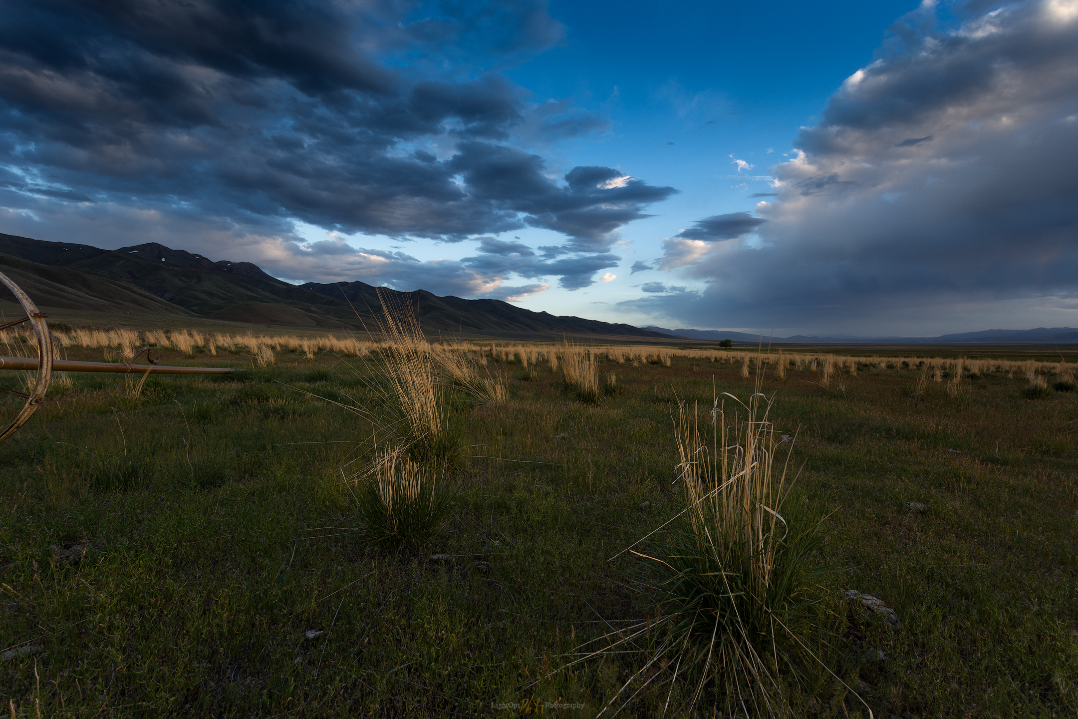
Rye returns. I like the sense of scale in this image, but the foreground composition suffered from a lack of attention on my part. Neither the wild rye nor the sprinkler tell the story I’d hoped. 1/6 sec, f/14, ISO 100; Canon 6D, 17-40mm (17mm).

I’m not real happy with the image. I waited for the light but my patience, and the mosquitos, limited my attention span. I think the pasture, grass, and sprinklers would work if I took more time. Lesson learned.

Although I may have left the pasture too early, it gave me the opportunity to watch the sunset develop right in front of me. A cluster of wildfires in western Nevada provided the scene for a wonderful sunset over the playa of pluvial Lake Gilbert. The sky highlighted a shallow playa pool far across the valley, detailing the shadows of the northern Toiyabe Range. This remains one of my personal favorites, a significant image in my portfolio from early in my practice. Sometimes the space just gives it to you.

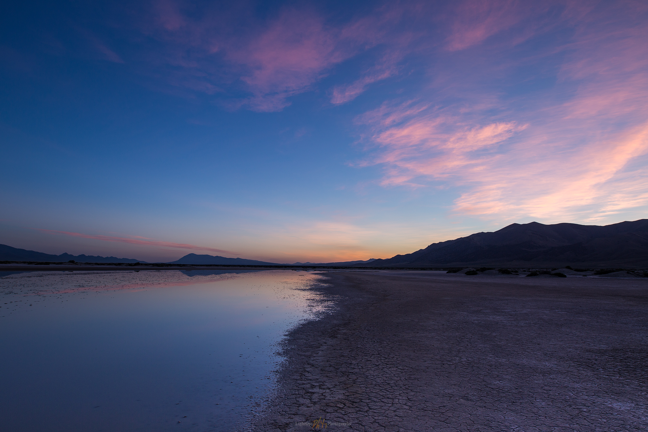
Playa fade, Great Basin, Nevada. One of my favorite images. It is easy to have patience sitting on the tailgate at camp.

I stayed up too late with the crew last night, and my alarm at 4AM surprised me. The sky looked promising, however, and I knew I needed to get to the southern playa to hopefully capture some dune pedestals in the morning light.

I need to remember to prep gear in the evening, or otherwise keep it prepped for mobility rather than simply tossing the pack back into the truck after finishing the night before. I walked the playa where the late spring pool curves between a few dune pedestals. The scene is nice in the full moon and the dawn glow is pretty good, but the clouds aren’t doing much this morning. I worked on some video and timelapse, with some intent on vlogging about the playa and its interest to Paleoindian archaeologists, but this needs practice.  For another day.

Receding dawn. The playa pool is almost as ephemeral as the colors of sunrise. 1/15 sec, f/8, ISO 100; Canon 6D, Sigma Art 20mm.

Smoke and Sunset Collection

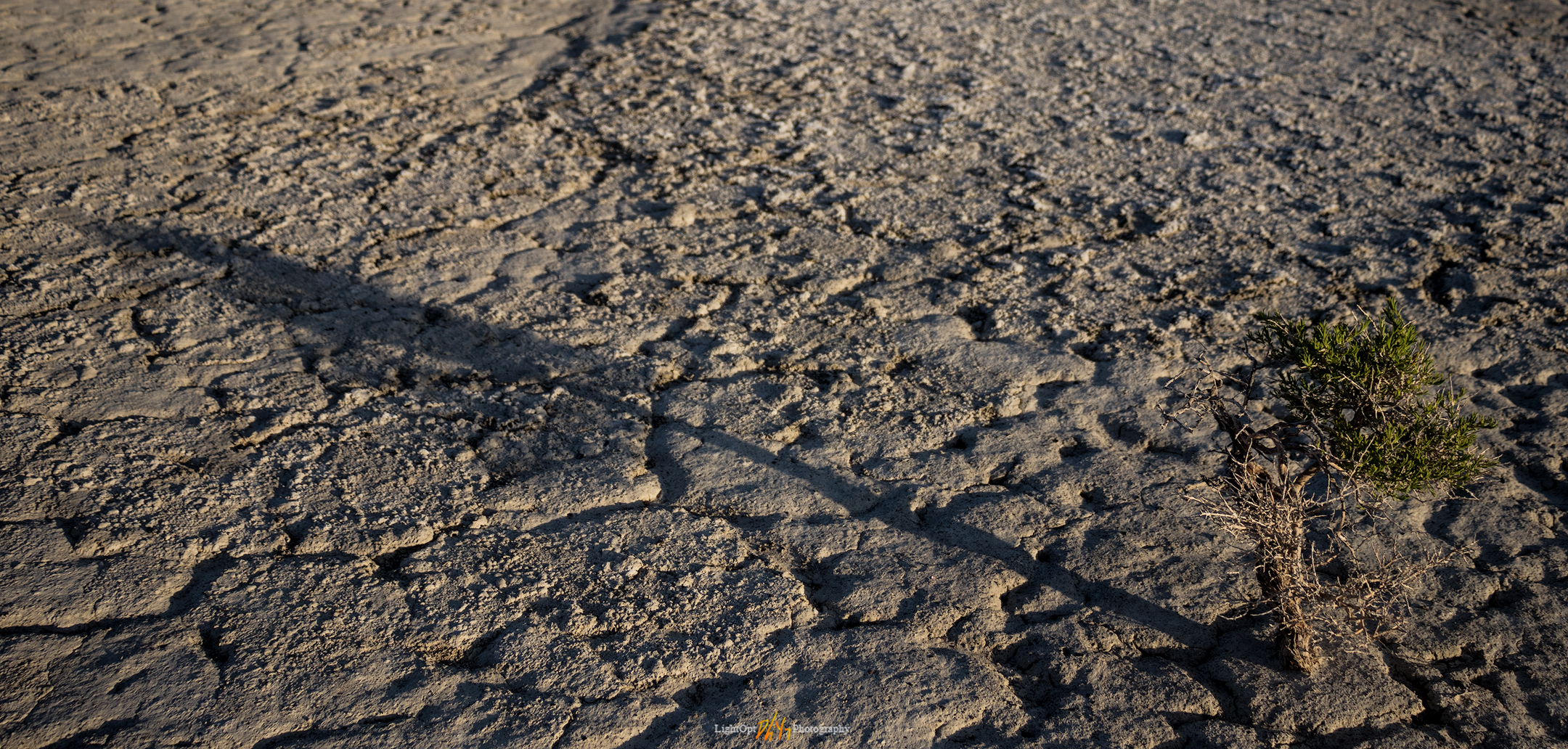
Trying to be tall. This small greasewood casting a grand shadow caught my attention. 1/125 sec, f/11, ISO 100; Canon 80D, 18-135mm.

Keep going.

A Photo and Geo Recce, Grass Valley, NV

D. Craig Young · April 22, 2017 · Leave a Comment

Bob Scott lenticulars. Sunset on weak lenticulars rolling over the northern Toiyabe, cold night ahead at Bob Scott Campground. 1/100, f9, ISO 200

It seems months since I managed to sync into my calendar and set out on a Basins recon. I’m rather compulsive about keeping a calendar, hoping to establish and maintain discipline across work, exploration, and arts I pursue and enjoy. I’m not typically successful, however, at keeping to my calendar. We all know how things creep or crash in to capture our attention. Local photography excursions have been limited to about once a month, and my goal of incorporating practiced photography into my geographical research needs similar attention. I have an on-going project in Grass Valley, Nevada, so I’m feeling good that I could get on the road today, on schedule, and into the Basin. Of course, a potent spring storm arrived overnight, and the rain was steady as I left for the office, camp trailer in tow. The storm cleared during the day, but a gusty wind remained, not letting up as forecast. I was able to leave the office a little after 2PM and pushed by a tailwind, I jumped on Highway 50 eastbound for central Nevada.

Grass Valley Recon Collection

It was something of a challenging drive as what started as a helping wind shifted to crosswinds and the occasional stiff headwind. The truck powered onward without difficulty, but I watched the gauge shrink quickly as gas mileage dropped into single digits between Fallon and Austin. But it’s not really the driving with the trailer that is difficult. It’s the stopping. As the remaining storm squalls played the sky along the mountains, I find it difficult to be spontaneous. I can’t simply pull off the highway or drop onto a backroad; it’s the primary drawback of towing the trailer. It’s a problem whether I’m gouging around on a landform recon or trying to capture images of a developing scenes when the highway just isn’t the foreground I’m looking for! I’ve ignored this problem, however, by focusing on the benefit of having the trailer as basecamp. Planning camps as hubs from which I can traverse a region with relative freedom—carrying my camp in a camper shell or roof-type tent seems like a greater burden, though I certainly don’t mind an outback tent camp when an excursion calls for it. With the trailer, the drive will sometimes force me to miss the occasional stop, but I try to note things I’m passing in hopes of planning a future, focused trip.

Cloud play. Light plays in the clouds of a fading storm over Bob Scott Summit. 1/1000, f5, ISO 200.

The temperature is forecast to drop to 18°F (-8°C) tonight and that means the storm has passed and the sky is clearing. I’m out to continue reconnaissance and investigations in Grass Valley. As a member of a multi-disciplinary team studying the archaeology and human ecology of early people in the central Great Basin, my task is to identify landforms where early archaeology might be preserved and document changes in the landscape and environmental conditions that may have influenced patterning in the archaeological record. I work closely with archaeologists interested in behavioral ecology and culture history and collaborate with them as we design research strategies, field surveys, and archaeological excavations. This work allows me to get deep into the Great Basin, where I can get a feel for the landforms and processes that relate to the discovery and study of the past environments, paleo-landscapes, and the archaeological record. Becoming a better documentary and landscape photography is part of this geographic journey. It’s all the same, really.

Here are a few images from the three-day field reconnaissance to Grass Valley.

Standing stone. Weathered plutonic rocks of Grass Valley, NV. 1/200, f8, ISO 100.
Rooted stone. This reminded me of the power of trees, rooted in a forest. I wandered among this odd outcrop of plutonic, granitic rocks, shooting hand-held. 1/400, f8, ISO 100.
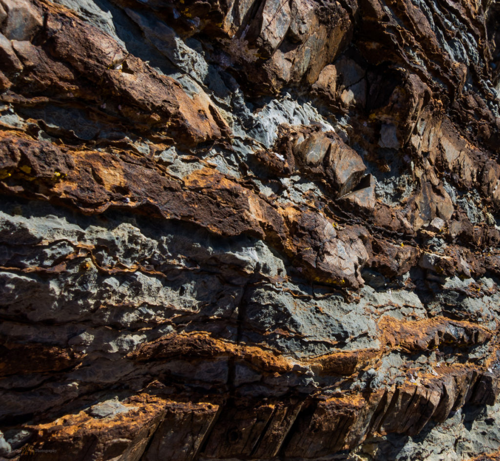
Strat texture. 1/60, f8, ISO 125 (Powershot 110s capturing RAW).

Climbing a small hill for an overlook of the former lake basin, I came across a small outcrop. At its summit I captured images of ancient limestone seabed with my point-and-shoot. The Canon Powershot 110 remains my primary photo-documentation camera. It works relatively well compared to many of the point-and-shoot cameras I’ve used in the past. I’m often surprised I can’t tell much difference when reviewing the images on screen, but I’m starting to re-think my field process. I do see the benefits of the 80D for controlling depth-of-field and taking advantage of the clarity across wider and longer focal lengths. Does the portability of the 110 outweigh (inverse pun intended) the advantages of the DSLR? In the near future I’ll be re-thinking my approach to differentiating my field research documentation from my landscape photography. Or maybe I should consider it one in the same?

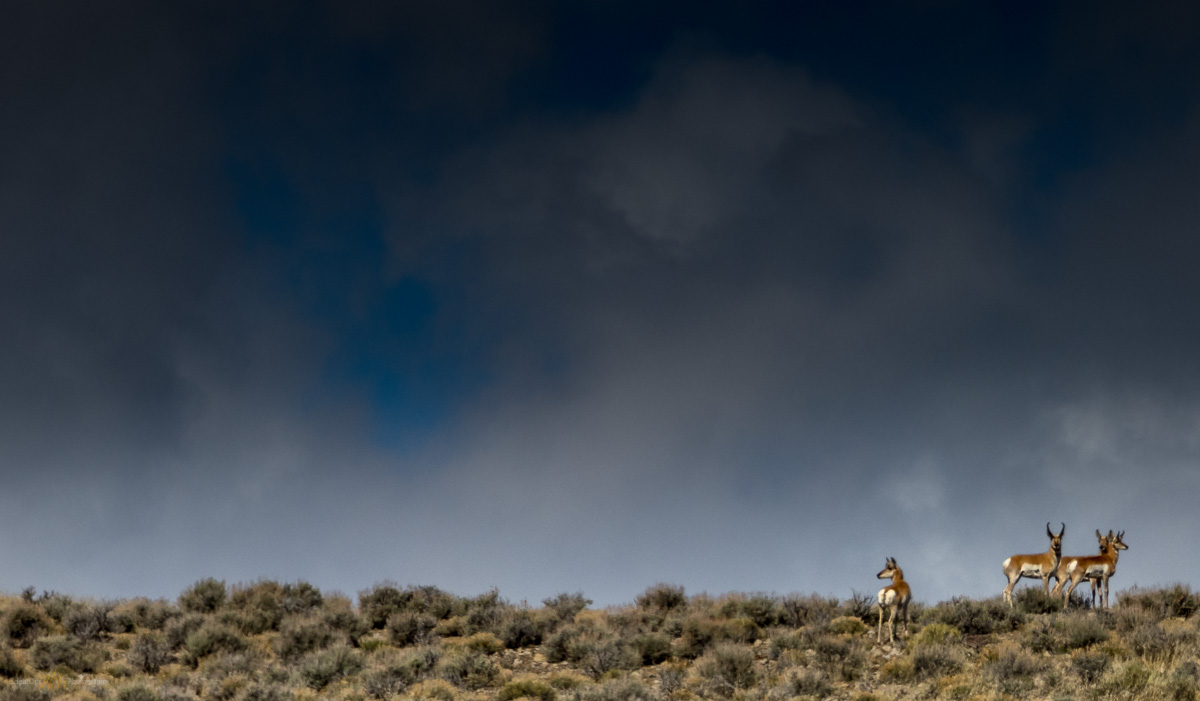
Watchers. 1/2500, f4, ISO 100.

OK, now this is fun. My hike attracted the attention of a small group of pronghorn antelope. I approached them slowly as the walked toward a vantage point where they could keep an eye on the lone figure (me) in the sage. I haven’t had a long lens all that long but I knew this is the use-case that I had in mind. I made a mistake with the wide-open f-stop (f4), realizing that at full 200mm images are going to be soft (a bit out-of-focus). But this is still one of my favorite images. The pronghorn peer in all directions, with the big buck marking me closely. The scudding clouds, compressed as a background, make the photo work. I’ll hopefully remain a bit calmer next time, so I can get the settings correct.

Simpson Park snow. 1/2500, f4, ISO 100.

Yesterday’s snow drapes the Simpson Park Mountains above Grass Valley. The leading line of the two-track trail, leading over grassy beach berms of pluvial Lake Gilbert, drew my attention to this composition. The compression evident in the 70-200mm lens emphasizes the snow-covered mountain slopes rising above the valley.

Grass Valley Recon Collection

Lucky weld. Something completely different, for good luck. 1/50, f8, ISO 100.
Callaghan gold. Mt. Callaghan, northern Toiyabe Range. The haze of a dusty sky made the foreground slopes glow in the late afternoon sun and I enjoyed the pattern of snow in the gullies and alcoves off the summit. 1/50, f14, ISO 100,

Keep going.

  • « Go to Previous Page
  • Page 1
  • Interim pages omitted …
  • Page 15
  • Page 16
  • Page 17
  • Page 18
  • Page 19
  • Go to Next Page »

Trail Option

Copyright © 2026 · Monochrome Pro on Genesis Framework · WordPress · Log in

  • Contact TrailOption
  • Substack
  • Waypoints Bibliography
  • Young Archives