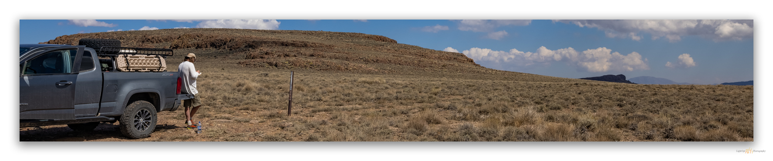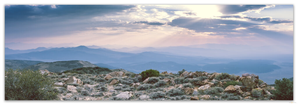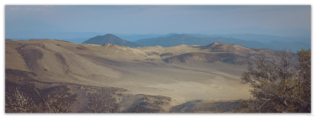
• Skip to primary navigation
  • Skip to main content

Trail Option

A personal geography of landscape and place, art and geo-science.

  • Home
  • TrailOption Blog
  • WayPoints
  • Galleries
  • About
  • Contact TrailOption
  • Subscribe!
  • Show Search
Hide Search

landscape photography

Nevada High Points #89 – Calico Mountains

D. Craig Young · October 19, 2021 · Leave a Comment

Aerial view of Donnelly Peak above our camp at Silent Snake Spring, Great Basin Desert, USA

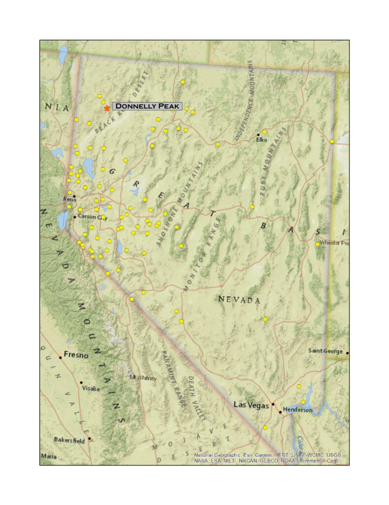
Donnelly Peak

8533 ft (2588 m) – 2317 ft gain

2021.09.12

There is a problem with names in this part of the desert. And, as a geographer and some-time chronicler of Great Basin landforms, I strive to maintain a sense of where I am. It stands to reason that the names of landmarks and their labels on maps are paramount, and when there is a problem with names, the labels on maps are hard to change. For a time, Donnelly Peak was shrouded in a cloud of changing labels, and the fixes seem to have echoed in the local hills and canyons.

I first drove Highway 34, south from Oregon in 1989. As we wormed our way down the lonely, dust-ridden road – I recall the romance of calling this wonderful road a ‘highway’, the epitome of Nevada overland travel – my travel companion, a long-time Nevada resident and professor, identified the prominent peak with its white, west-facing outcrops – like breast feathers on a sage grouse – as Division Peak, a landmark for us and for those who traveled the route historically, and probably thousands of years before that. I traveled the Black Rock – High Rock Country for many years using this landmark as a way point – my maps all showed it as Division Peak. It was not until the mid-1990s that I noticed I had been misinformed, by my mentor and by the USGS; however, the mistaken label made historical sense.

The peak’s original name (1893) was Division Peak, the prominent high point of the Calico Mountains thought to ‘divide’ Humboldt County from Washoe County. As early as 1902, there were hints that something was not quite right. If Division Peak was to divide the counties, it was in the wrong spot. One cannot move mountains, so they say, one can only play with names.
HP #89 Collection

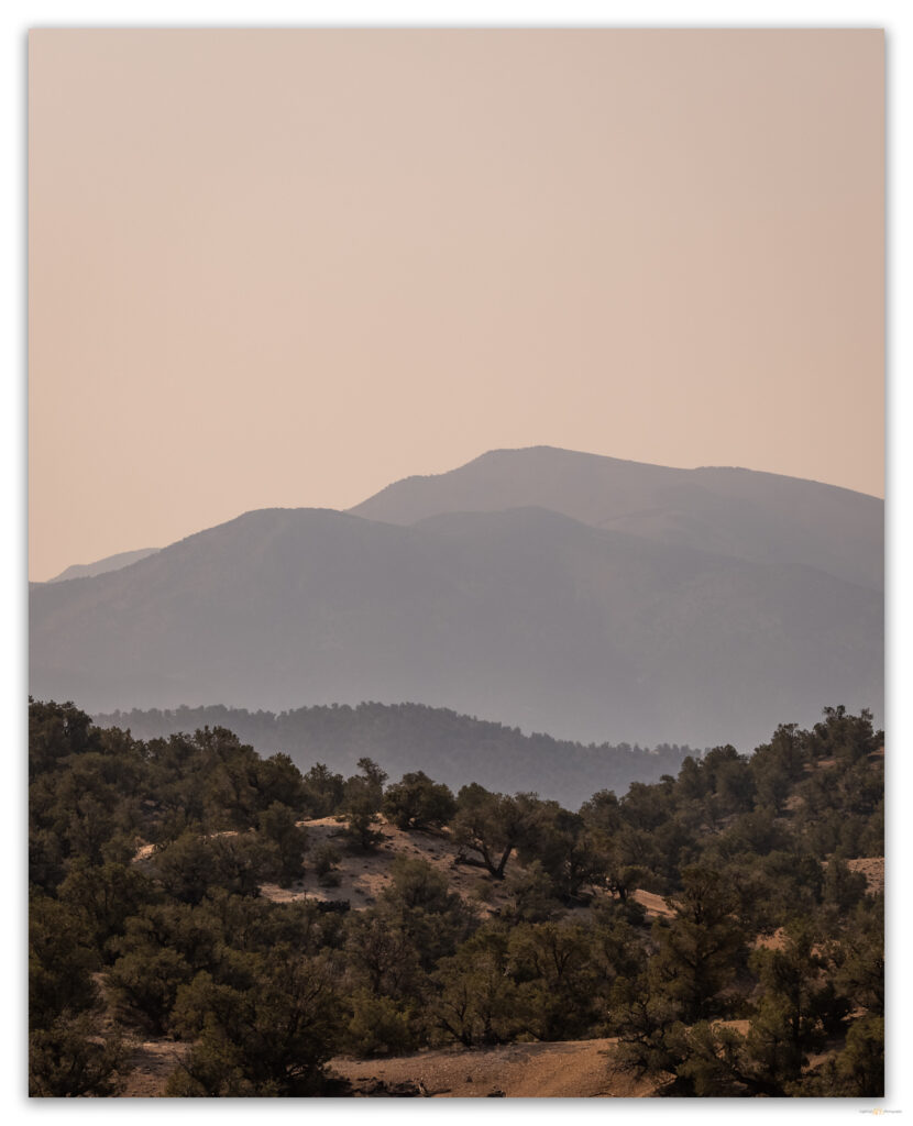
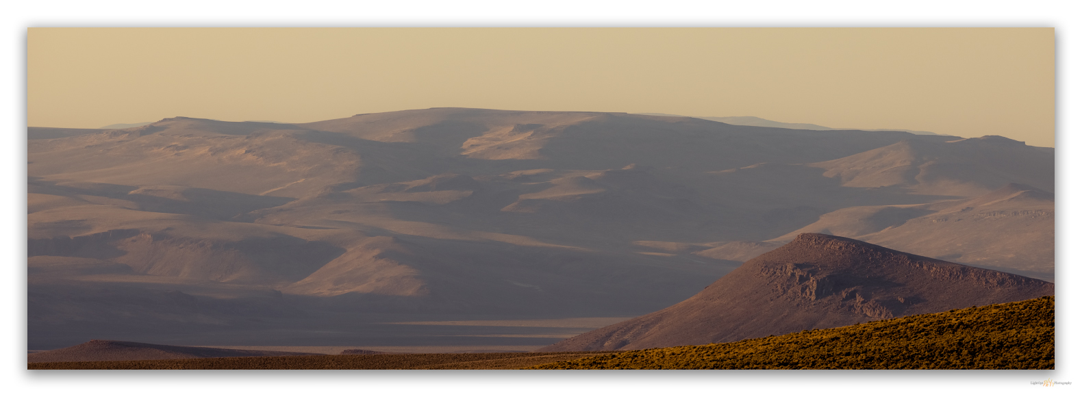
Smoke subdued evening of the sagebrush hills of the Little High Rock Wilderness, Great Basin Desert, USA

Touting local mineral interest, the Daily Nevada Journal (1902) referred to it as Donnelly Mountain after a nearby spring, but that label did not stick. As I mentioned, ‘Division Peak’ appears on many USGS maps, including those used in today’s digital applications that rely on scanned versions of map originals. I learned of Donnelly Peak as I reviewed Alvin McLane’s Silent Cordilleras, my primary reference for my list of named highpoints. Even as I wanted to believe my otherwise trusty and detailed 7.5’ USGS quadrangle, Alvin had clearly done his research. He separated the low hills along the county line, over four miles west of Donnelly, as the Division Range with Division Peak as its high point (McLane 1978:39). His book was published in 1978 but as late as 1975 the official place names register had Division Peak at the spot that today is Donnelly. In keeping with the local confusion, Alvin’s Division Range is often shown as the ‘Sheep Peaks’, and I have seen a modern digital map that shows the highpoint of the Sheep Peaks as something other than Division Peak, even though no such highpoint exists. Helen Carlson, in her wonderful reference of Nevada Place Names (1974), tried to rectify the misnomer by explaining that ‘Division’ actually marked the boundary between Pershing and Washoe counties, but that makes even less geographic sense. So, ignoring Alvin’s insight, the U.S. Board of Geographic Names, in 1982, found that the 8533-foot peak had been changed from Donnelly to Division with the publication of the geographic names register in 1975. This judgement, too, seems misinformed as anyone visiting the summit will find brass benchmarks stamped ‘1940’ and ‘Division’. This place above the Black Rock was confused way before Burning Man ever showed up.
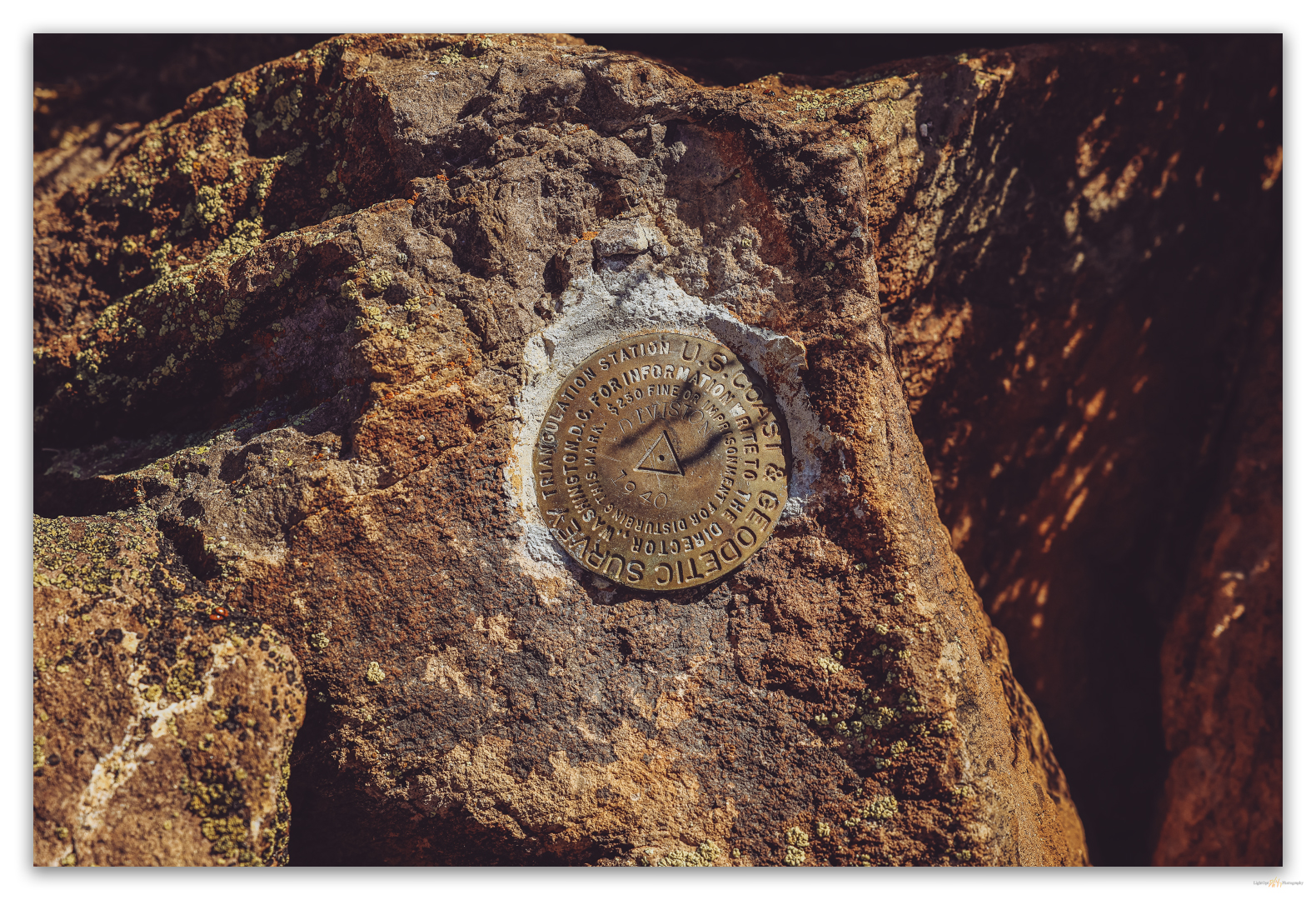
An unedited benchmark showing the peak designation in 1940 – Division.

Finally, in 1989, about the time I was making my first excursion along its base, the Board of Geographic Names – I suspect Alvin may have played a role – declared the Calico highpoint to be Donnelly Peak and the nearby high point of the Sheep Hills (Alvin’s Division Range) would be Division Peak. Alvin had done the hard work of moving the mountain, the register finally followed suit. Division was back on the county line; actually it’s about a thousand feet east, but close enough. We will summit that sometime soon and see what its brass marker proclaims.

First, we need to walk up Donnelly Peak!  Second, I am happy to admit that all too often when contributors to summitpost.org state that a peak has ‘little redeeming value’, Darren and I tend to have an even better experience visiting the forlorn highpoint. Donnelly was no exception.
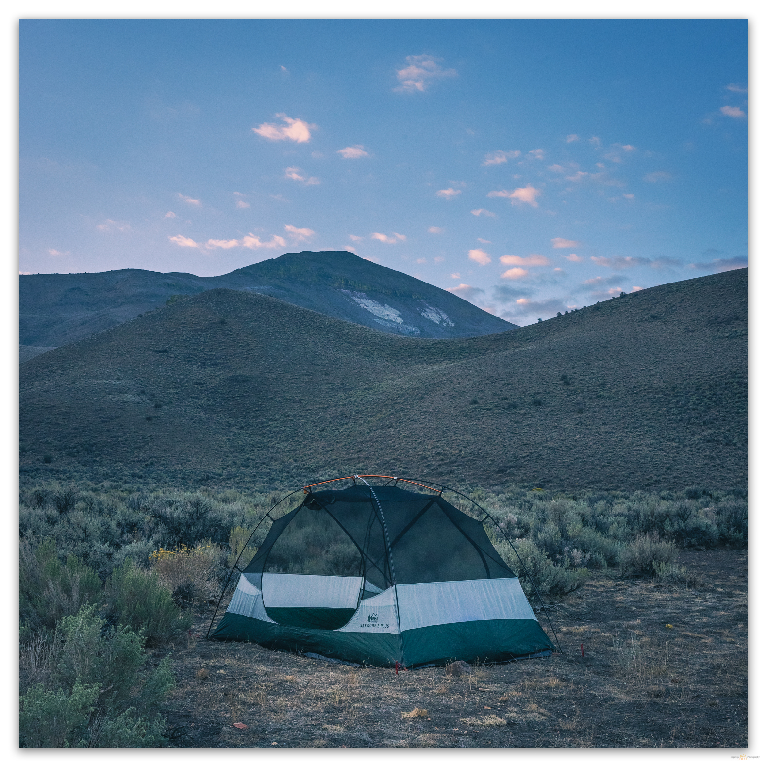
First light as we leave for the climb to Donnelly Peak, Great Basin Desert, USA

Darren had scouted the lower slopes last night. Not that that was necessary; it would be difficult to get lost on the open slopes of Donnelly. We went along the spring exclosure fence to gain the slope. This was a northwestern ridge extending from the peak; the ridge is cut by a series of slightly glassy, tuffaceous rocks exposed as resistant rimrocks and outcrops. Silty sandy gravel on tuff mantled moderate slopes between outcrops.
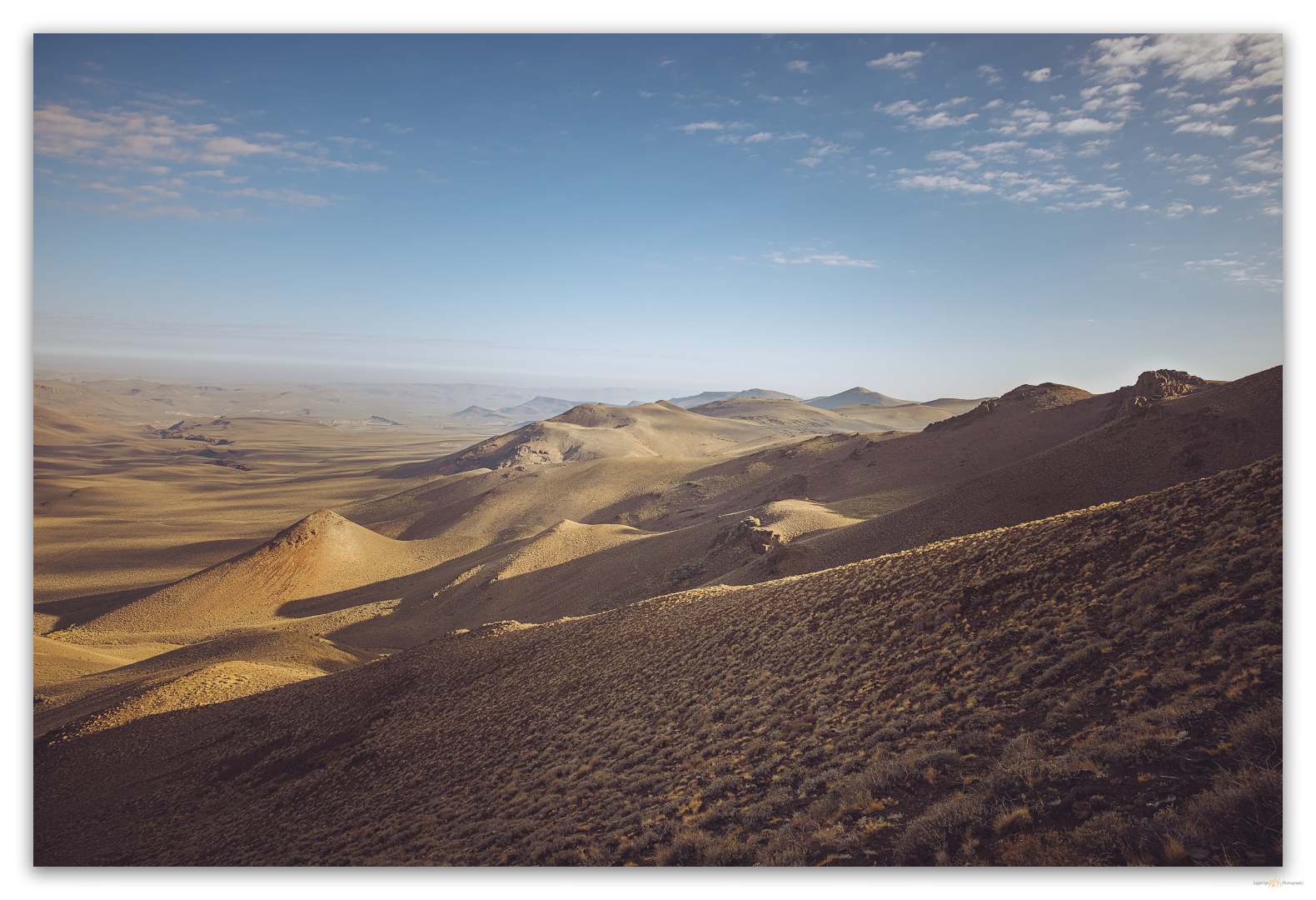
The northern view on the northwestern slopes of Donnelly Peak, Great Basin Desert, USA
Darren waits on a small rimrock plateau in the northern Calico Mountains, Great Basin Desert, USA

My mountain walks are always a multi-tasking bit of ambulatory mountaineering, photography, and geomorphology. My walks are meditation and seeing. Ok, more multi-observational than actual separate tasks. Tasks are typically thought out or planned, but my observations are absorbed through seeing and I try to stay open to the elements around me. I react to seeing and observe by collecting information – sensory, analog, and digital.

Rock lines puzzle me, so Darren and I stop occasionally to think about the processes that might form them. We take particular note of a set of incipient and mature rock lines.  These may be a result of nivation creep due to wet snowload, melting, and runoff rilling; lines forming on slopes of a particular grade. Maybe. Large clasts form anchor and deflection points that transition to aprons or stop the rock line.
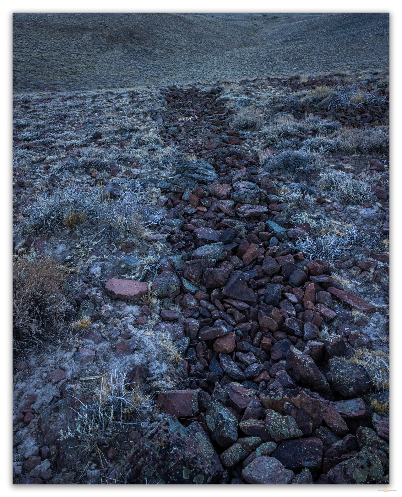
Geomorphic features on the western slope of Donnelly Peak, Great Basin Desert, USA

Having puzzled over the rock lines, we aim toward two prominent, tower-like outcrops near the top of the ridge, all the while wondering about the white rocky center that outcrops abruptly on the steep western face of the peak. I am subsequently distracted by an outcrop that holds a nice woodrat nest with locally remnant fossilized midden. Well-preserved middens can hold troves of information about past environments; these, however, look recent.
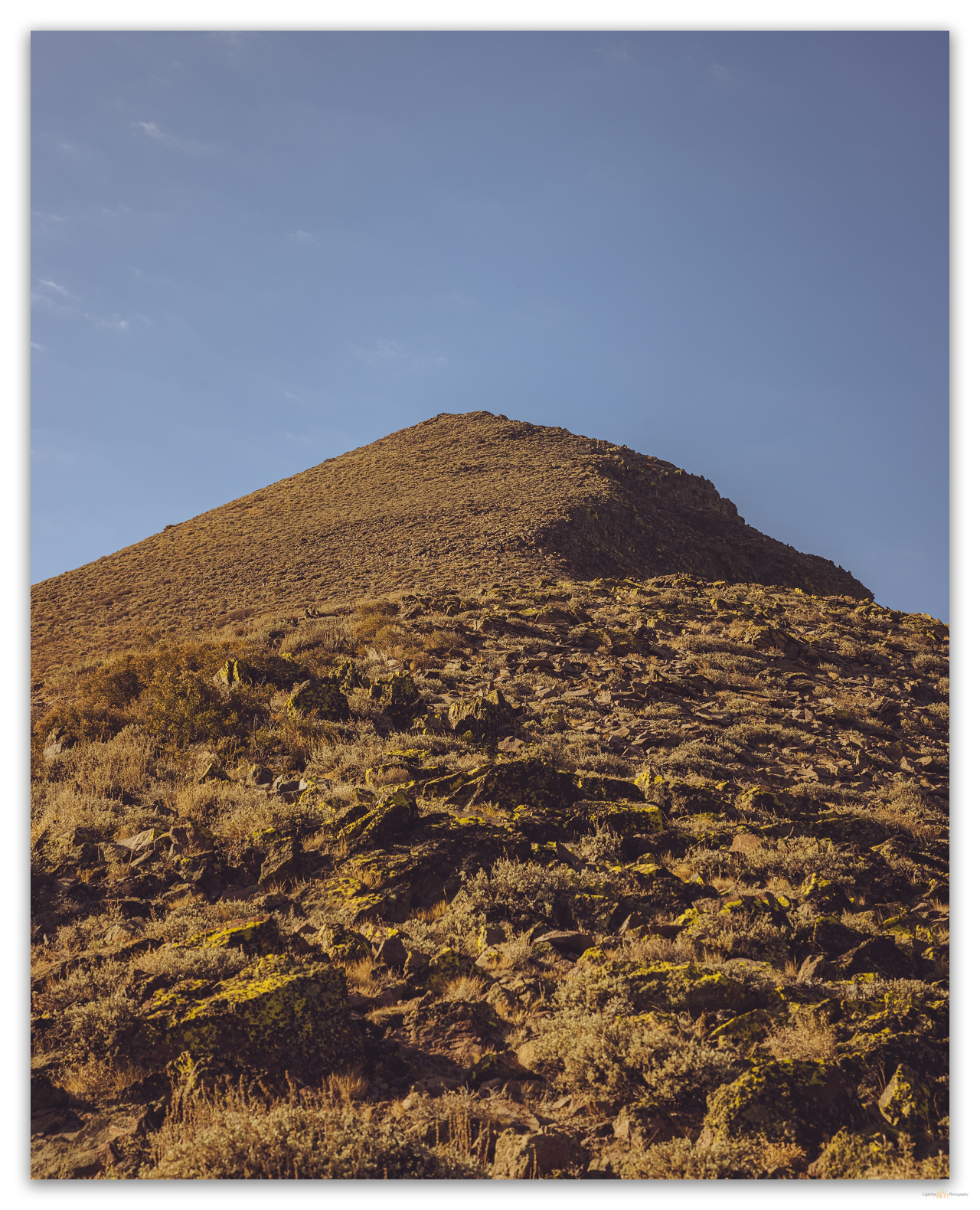
A rock strewn approach under cloudless morning skies, Donnelly Peak, Great Basin Desert, USA

The summit’s rolling knob is cleft deeply on the western side as the rimrock drops to the white tuff below. The register protects a few ladybugs, and the notebooks protected by the nested cans are clean if somewhat well-used. We have decided to descend on the south side of the summit rimrock to traverse the scree-covered slope to check the white tuffs of the mountain’s core. It has been a while since we have descended a slope this steep. It is not dangerous, but the silicic clasts clatter and roll beneath our feet. Occasional game trails are walkable, but after a few strides, the screes slips and slides between low shrubs. Balance does not always come easy.
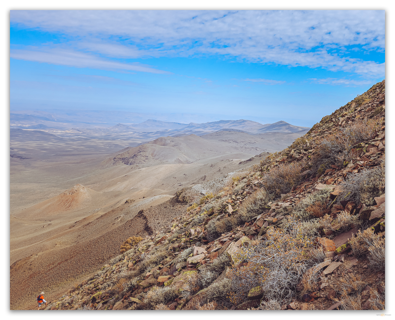
Descending the talus, Donnelly Peak, Great Basin Desert, USA
Darren checking out the welded debris flows in the white tuffs of Donnelly Peak, Great Basin Desert, USA

The white outcrops are pyroclastic flows and tuffs with well-sorted and graded cobbles and boulders in distinct beds between jumbles of unsorted, high-energy debris flows. Clasts in lower tuff units are rounded like alluvium and are distinct from the angular and sharp boulders and cobbles from the sides of the flow and the throat of the dikes and vents. A spring bleeds from the end of the alluvium below the white walls above this western canyon. The energy of the past eruptions is sweetened by today’s trickle of life-giving water.
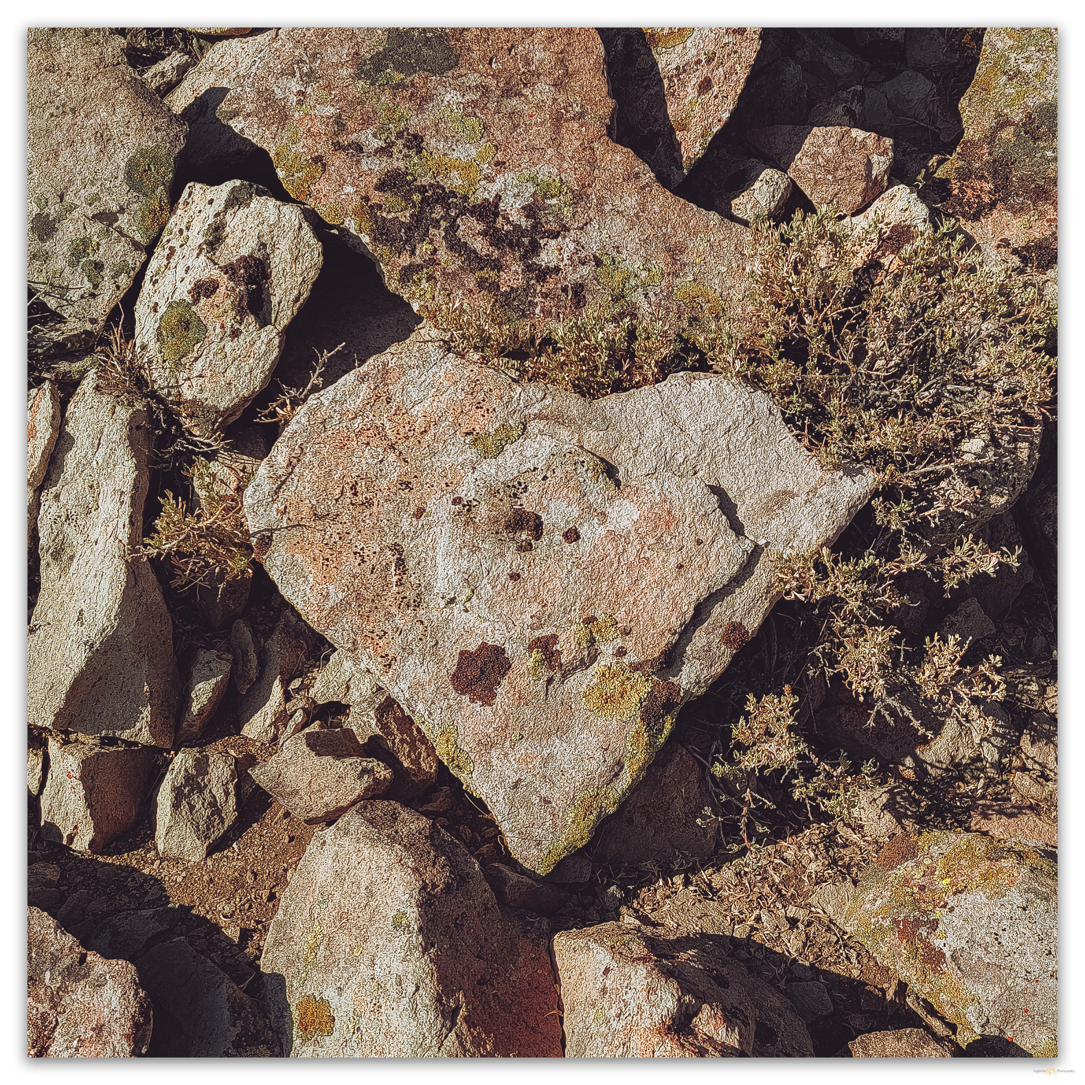
A reminder that I am not alone in the outback, Donnelly Peak, Great Basin Desert, USA

HP #89 Collection

It has been a great morning up-and-down Donnelly Peak and it is warming as we top the small rolly hill overlooking camp. This one made us work a bit, a nice change from some of our smaller hill walks. The names have changed but the mountain stands where it always has, a beacon at the southern end of High Rock Canyon and the western edge of the Black Rock Desert. I am happy to have solved its naming puzzle after 30 years of navigating the dirt highways at its base.

Keep going.

Please respect the natural and cultural resources of our public lands.
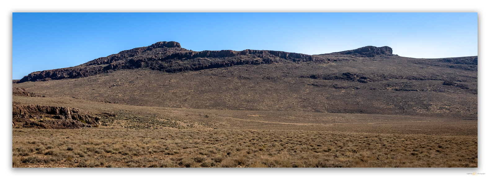
#naturefirst #keepgoing

Nevada High Points #88 – Butte Spring Hills

D. Craig Young · October 18, 2021 · Leave a Comment

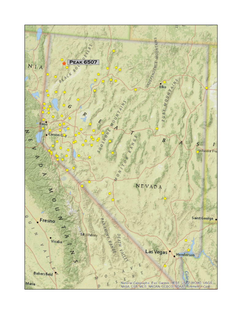
Dropping into upper drainages of McConnel Canyon below Peak 6507 (on the left), the high point Butte Spring Hills, Little High Rock Wilderness, Great Basin Desert, USA

Peak 6507

6507 ft (1983 m) – 910 ft gain

2021.09.11

On Nevada Highway 34, a wonderful dirt road north of Gerlach, there is a steep right-hand turn just after the Lund Petrified Forest. The forest consists of a couple of upright trees trapped behind a fenced enclosure, but we are not here to see the rocks that were once trees. We had escaped the smoke-filled Carson Valley to gouge around a pair of summits on Second Friday weekend. This steep road, a cherry-stemmed, spring access in the Little High Rock Wilderness, would get us near the high point of the Butte Spring Hills. Although this group of hills is not one of those listed by McLane or Charlet, I added Peak 6507 to my list as it stands apart from the Division Range; the canyon of Willow Creek making a clean break from the Division Range (aka Sheep Hills) to the southeast. My few additions to the lists are typically small hills like these that stand out on USGS maps and are labeled even though they sometimes seem to structurally related to nearby ranges – and it gets me to a few places I might not otherwise visit.

HP #88 Collection

Dry Days. Bath Tub Spring, Little High Rock Wilderness, Great Basin Desert, USA

We arrived at the wilderness boundary at mid-day. Not the best time for a photographic foray on the hardscrabble sagebrush, mostly beaten down by horses. After parking at a boundary sign, we walk an abandoned two-track toward Bathtub Spring. The spring is damp, but the dug-out reservoir is dry and pocked with trampling hoofprints. A barbed drift fence has fallen into disrepair; it would be nice to see this removed. It is, however, easily stepped over, and we make our way to a dry wash that rings the southern apron below the prominent rimrock of Peak 6507.

Time to go. A fence in need of removal, Little High Rock Wilderness, Great Basin Desert, USA
High key desert. A good walk to Peak 6507, Little High Rock Wilderness, Great Basin Desert, USA
Remnant. Memories of recent rain. Little High Rock Wilderness, Great Basin Desert, USA

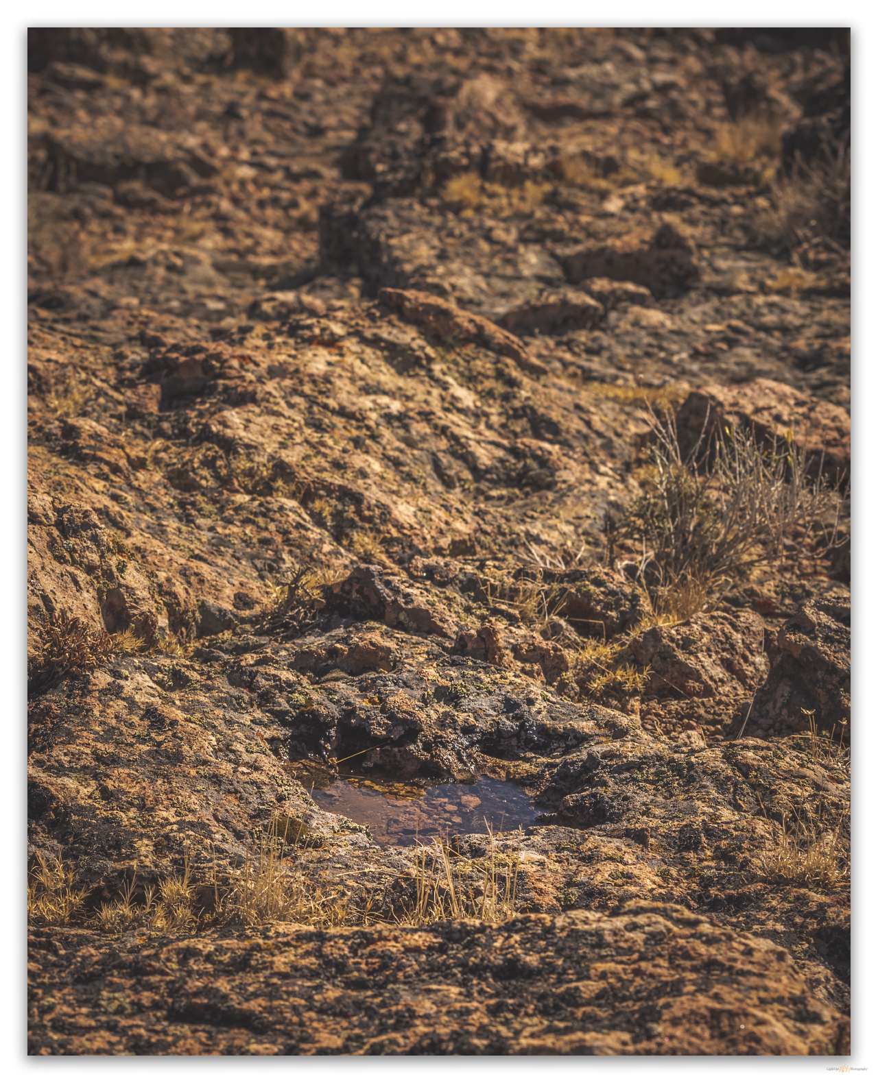
Water pockets in the capping outcrops promise hope left by recent rain. A quick storm passed a couple days ago, and I am surprised the water remains. As Craig Childs writes, there is often more water in the desert than we expect, if only we see and learn. These seemingly lost pools always lift my spirits.

Summit views. High point of Butte Spring Hills over Highway 34, Little High Rock Wilderness, Great Basin Desert, USA

The summit is a jumble of rhyolitic rimrock and boulders; there is no register – maybe I should install one on those hills that I upgrade to the status of named-range highpoint (those not on the typical ‘lists’), but, hey, leave no trace. Even for a relatively small group of hills, the view is awesome. It is especially good to see Donnelly Peak rising to the southeast, our target for tomorrow.

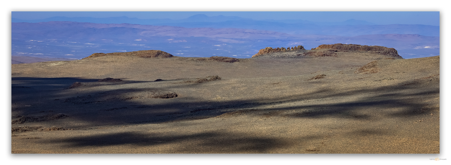
Looking west. Shadows among the Rooster Comb, Little High Rock Desert, Great Basin Desert, USA
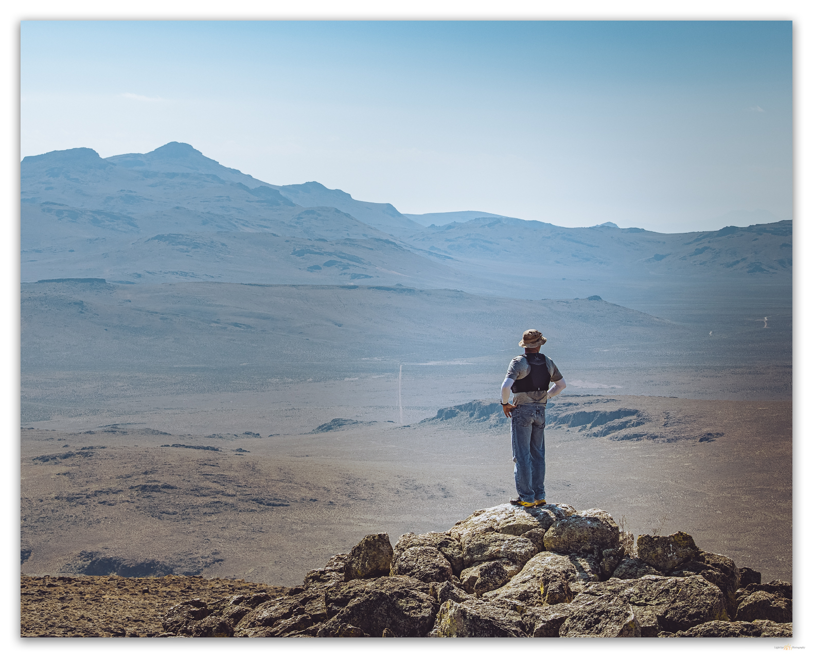
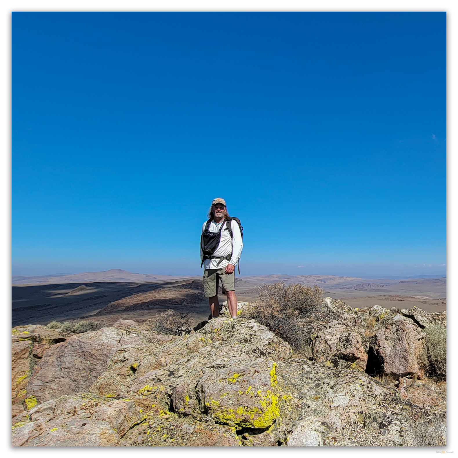
Desert high. On the summit of Peak 6507, Little High Rock Wilderness, Great Basin Desert, USA

We scurry down the west-facing rimrock and walk a looping route back to the rig. Obsidian nodules of the eastern margin of the Cottonwood Caldera rest as gravel and small cobbles on the fans near the so-called Butte Spring. We take the opportunity to map their distribution for my on-going obsidian sourcing project. Another great reason to get into the lesser-known hills and highpoints.

HP #88 Collection

Keep going.

Mind the sign. Notes at the wilderness boundary, Little High Rock Wilderness, Great Basin Desert, USA

Please respect the natural and cultural resources of our public lands.
#naturefirst #keepgoing

Nevada High Points #87 – Anchorite Hills

D. Craig Young · September 6, 2021 · 4 Comments

Evening skies over the Bodie Hills from the summit of Powell Mountain, Anchorite Hills, Great Basin Desert, USA

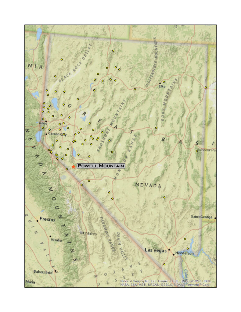
Powell Mountain

9530 ft (2905 m) – 1988 ft gain

2021.08.13

It took a long time to get going today. Smoke from Sierran wildfires has filled Carson Valley for weeks it seems – now the typical summer atmosphere, and the heat has been oppressive, forged one-to-one with the unending haze. Could I drive out of it? Climb above it? It was hard to get motivated.

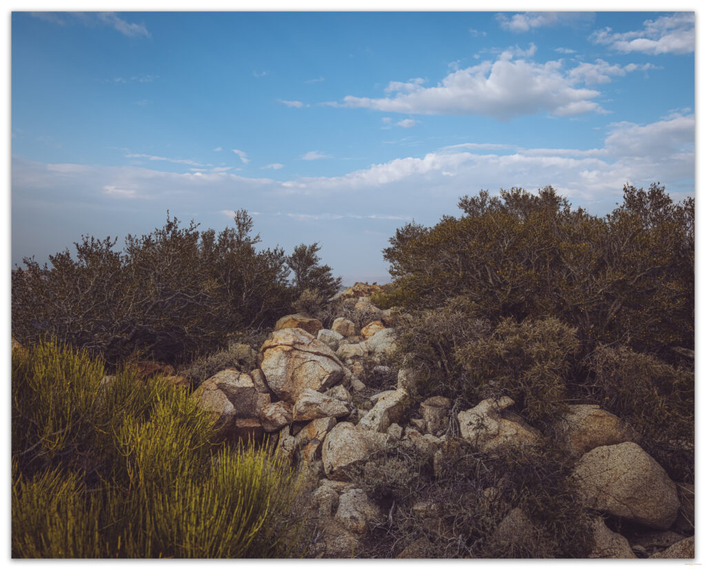
The Anchorite Hills rise as an afterthought, like a comma, on the southern end of the Wassuk Range, the home of Mount Grant above Walker Lake. Low mountains of rhyolite and granodiorite host thick pinyon woodlands that give way to old fire scars where, high up, a few limber pines stand haggard and scraggly in protected canyons and bowls. I found Curleaf mountain-mahogany (Cercocarpus ledifolius) wrapping the highest ridges and extending to the range’s highpoint at Powell Mountain. However, boulders scatter among the vast areas of open Montane Zone shrubland, which makes for nice walking on open slopes, approaching ridges, and intervening hummocks.

HP #87 Collection

Southern view toward Table Mountain from Powell Mountain, Anchorite Hills, Great Basin Desert, USA

I approached the Anchorites from the West Fork of the Walker River, following the Hawthorne Road toward Lucky Boy Pass. After watching an Osprey dance above the Walker, I skirted Rough Creek and traced along Mud Spring Canyon and its numerous tributary washes to get to the broad pediment of the Borealis Gold Mine. I turned south to cross a beveled landform cut by dry washes with clear evidence of being not so dry very recently. Detritus of sticks, weeds, and mud hung as snags in washes were bedforms showed ripples and pools of a passing flashflood. I was a day or two late, but new thunderstorms were brewing. The monsoons of recent days had been rather weak and primarily anchored to local topography – the cells built above highpoints and stayed there, mostly. I was headed for a highpoint, but it wasn’t as high as Corey Peak and Mount Grant to the north, and that was where today’s storm held its ground.

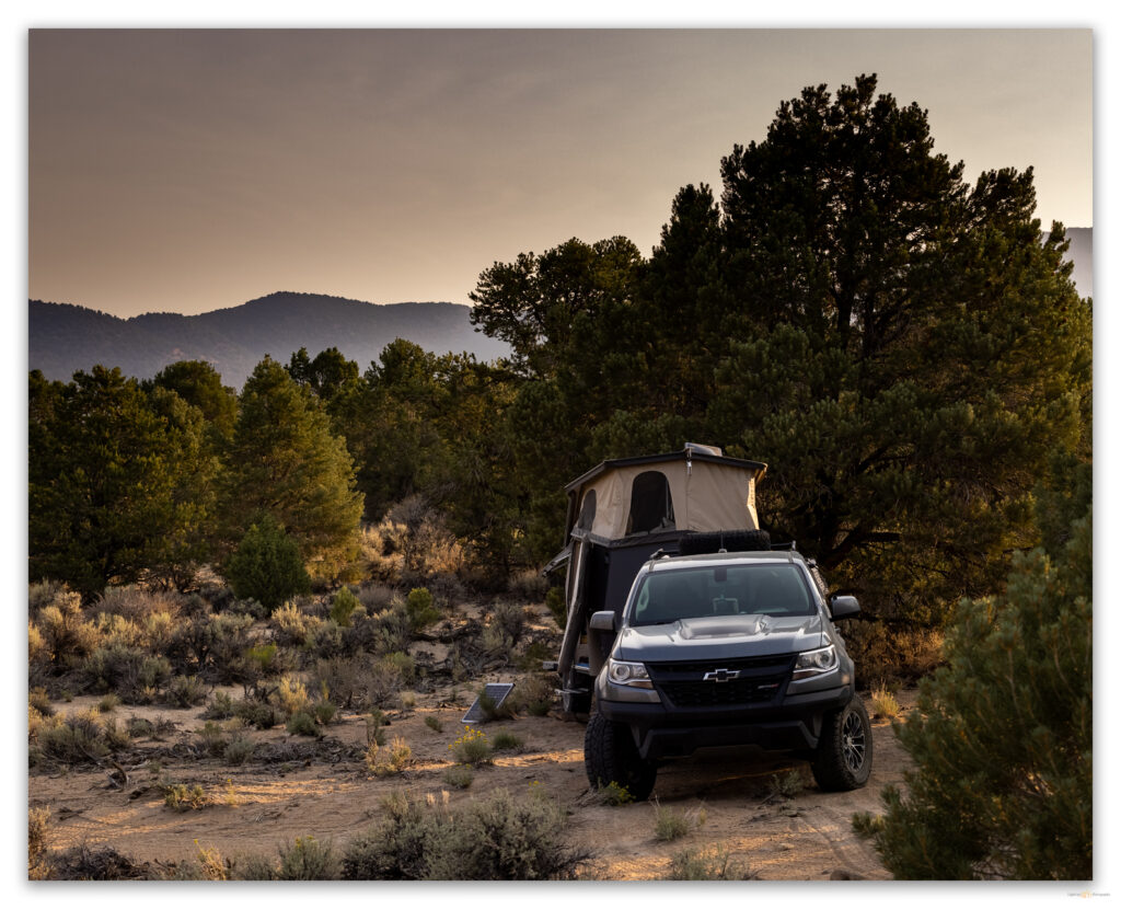
A few raindrops pelted me as I scouted on foot for a camp. I had driven the rig and trailer to a good turn-around and searched ahead for a spot that was not too tight and would not get damaged if I brought the trailer further up the two-track road. I had already made a sketchy turn-around exploring the pass between the Wassuks and the Anchorites; that track being riddled with flashflood debris stuffed into a typically good dirt road. Tonight’s camp would be below Powell Spring where pinyon-juniper woodland transitions abruptly to valley shrubland at the foot of the Anchorites. Four pinyon jays and a pair of western bluebirds checked on me as I set camp.

Quiet camp in the pinyon woodland of the Anchorite Hills, Great Basin Desert, Nevada
Powell Mountain, high point of the Anchorite Hills, Great Basin Desert, Nevada

I had originally planned to climb the short distance to Powell Mountain – about a mile and half from and two thousand feet above camp – in the morning, but the brush of rain had cooled and cleared the skies, so I set off. If I could get through the riparian brush of Powell Spring and the canyon above it in less than an hour, I should be able to access open country and get up and back before dark. I did not want to navigate the densely enclosed canyon by the light of my headlamp.

There is a broken-down cabin at Powell Spring; it spooked me as I came through a patch of Desert rose and willows – I do not want to visit this in the dark either! The canyon was just navigable. I walked along the dry runnel of the canyon floor, climbing onto outcrops that walled the canyon to get around ‘steps’ where groundwater allowed a fluorescence of willow. Here and there, dense skeletons of willows, blown flat by the weight of a snow avalanche, possibly, blocked my forward progress. While this half-mile took quite a while, I made the steep open slopes below the summit in good time. Here, I started the difficult steps into the gravelly soft sediment, a mix of dust and slopewash alluvium, that blankets the bouldery slopes below the southwest ridge. I could reach out and touch the hillside I was climbing; it was much steeper than I expected. I stumbled between shrubs and boulders, but I quickly gained elevation.

Final approach to the Mahogany woodland at the summit of Powell Mountain, Anchorite Hills, Great Basin Desert , USA

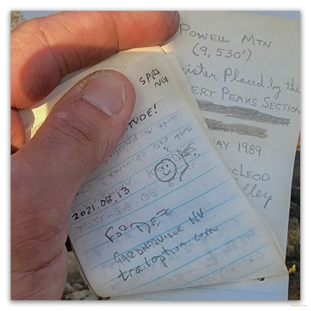
As I gained the boulder-strewn summit, I was surprised by the seemingly sudden appearance of little, packed woodlands of mountain-mahogany. It took me a few minutes to find the actual summit marked by a wood-staked survey marker hidden among the shrubby trees. The register was lost among a thicket of branches. It is not a popular summit, though I found one of the few groups to visit had hiked up here only last weekend. After signing in and watching the smoke begin to block the sunset, I knew I could not linger. I had to get through the thicketed canyon before dark.

Summit register – Powell Mountain.
Triangulation marker at summit of Powell Mountain, Anchorite Hills, Great Basin Desert, USA

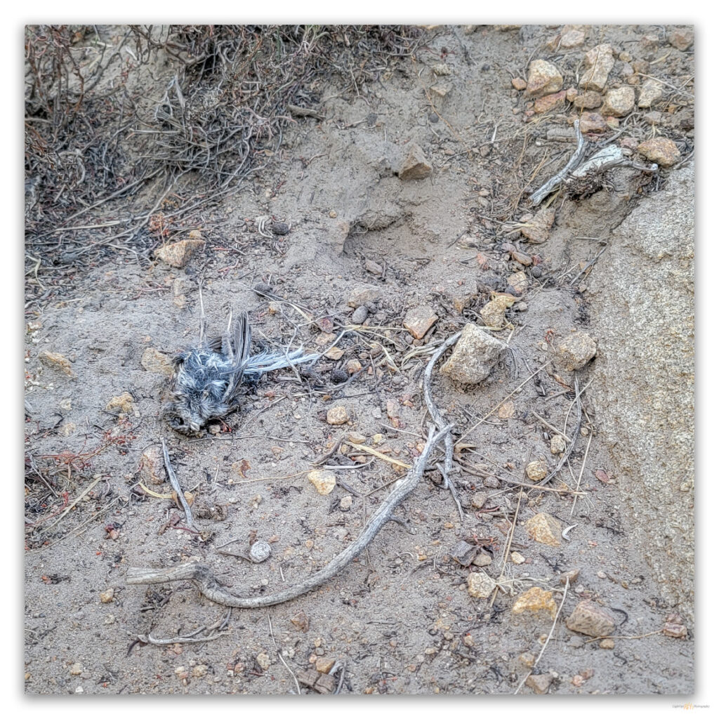
There is some ease in descending a dirty, grussy slope. It goes quickly until a foot gets caught in root or branch, a reminder that gravity could easily win. In the steepness of the upper canyon, I startled a small owl – likely a Northern Pygmy (Glaucidium californicum) – that had been feeding on a finch-sized songbird. It was likely a recently fledged juvenile in a daily roost, benefitting from a parent-delivered meal. It was too dark for photography, and I did not have patience to wait while the canyon floor darkened.

An owl’s interrupted dinner, my apologies.

I felt my way along the canyon floor, following my approaching footprints through the small, dry streambed. The bends in the canyon seemed to alternate from noisy with songbirds and insects to the quiet of enclosed woodland. With my eyes focused on the red of the infernal sunset, the pinyon loomed as blackened shadows, sad portents of once and future fires. As the woodland darkened, I could just make out sandy gullies in gaps between trees, arriving eventually and abruptly at the imploded cabin below the spring. It was time to get the headlamp out, but I enjoyed the last few steps to my truck, happy to have had the summit walk at the end of a slow-starting day.

Corey Peak and Mount Grant rise through the smoked shade of the breaking monsoon, Wassuk Range, Great Basin Desert, USA

HP #87 Collection

Keep going.

Please respect the natural and cultural resources of our public lands.
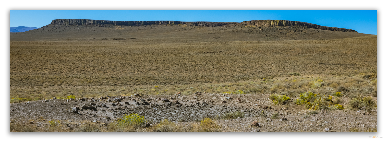
#naturefirst #keepgoing

Nevada High Points #81: Little High Rock Mountains

D. Craig Young · April 16, 2021 · 1 Comment

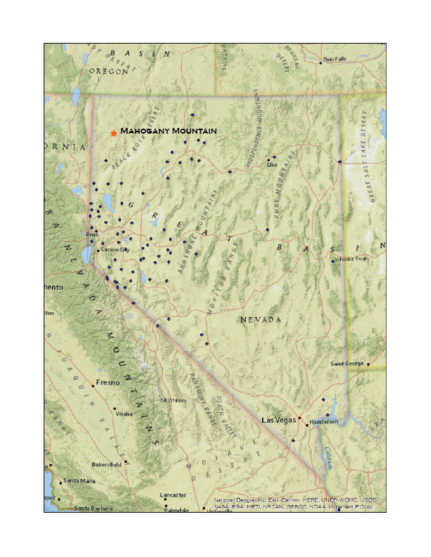
Mahogany Mountain

6979 ft (2127m) — 1510 ft gain

2021.03.27

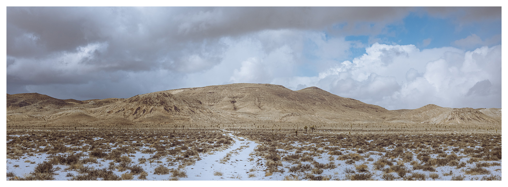
Although I had been able to visit the Cuprite Hills on the journey south, fieldwork along the Gila Mountains of southern Arizona postponed our Second Friday overland recce for March. To keep our run going, however, we took to northwestern Nevada on the fourth Friday – close enough. We traveled north, skirting the Black Rock Desert, to check conditions for spring-time fieldwork along the Buckhorn Road above Duck Flat. To our surprise, we found that winter snow-cover prevailed at the road’s summit and decided not track up the road; plus, when saturated these volcanic lithosols become soul-sucking clay when saturated, so the better part of valor is to wait a few weeks for drier conditions. We would work on my obsidian mapping project, traverse the Cottonwood Creek Caldera, and head toward Mahogany Mountain – Rowland Mountain along the Buckhorn Road would still be there later this year.

HP #81 Collection

A dramatic series of volcanic eruptions in the Miocene of northwestern Nevada, 16 to 13 million years ago, give or take, drenched the landscape with rhyolitic and basaltic lava. The driving force behind these cataclysmic events was the same magma plume that drive today’s geyser of Yellowstone. Some of the eruptions produced expansive pumice-like tuffs, many welded to solid rock, and, along with this, came extrusions of quick-cooling, glassy obsidian. The eruptions left vast calderas, with obsidian seams along margins and slopes; these filled with vast lakes as the volcanos’ hollowed centers collapsed. Cut by rivers and warped by mountain building, the calderas were deformed and can be hard to recognize today. However, the obsidian, lake sediments, and broken lava flows remain. Because obsidian is an important native toolstone, archaeologists are interested in its natural distribution because it provides significant clues to the movement, conveyance, and trade of the darkly colored glass so useful for making tools. I have long focused on studying and adding to the maps of the calderas and the obsidians they hold.

Snow and shadow. Mahogany Mountain, Great Basin Desert, Nevada.

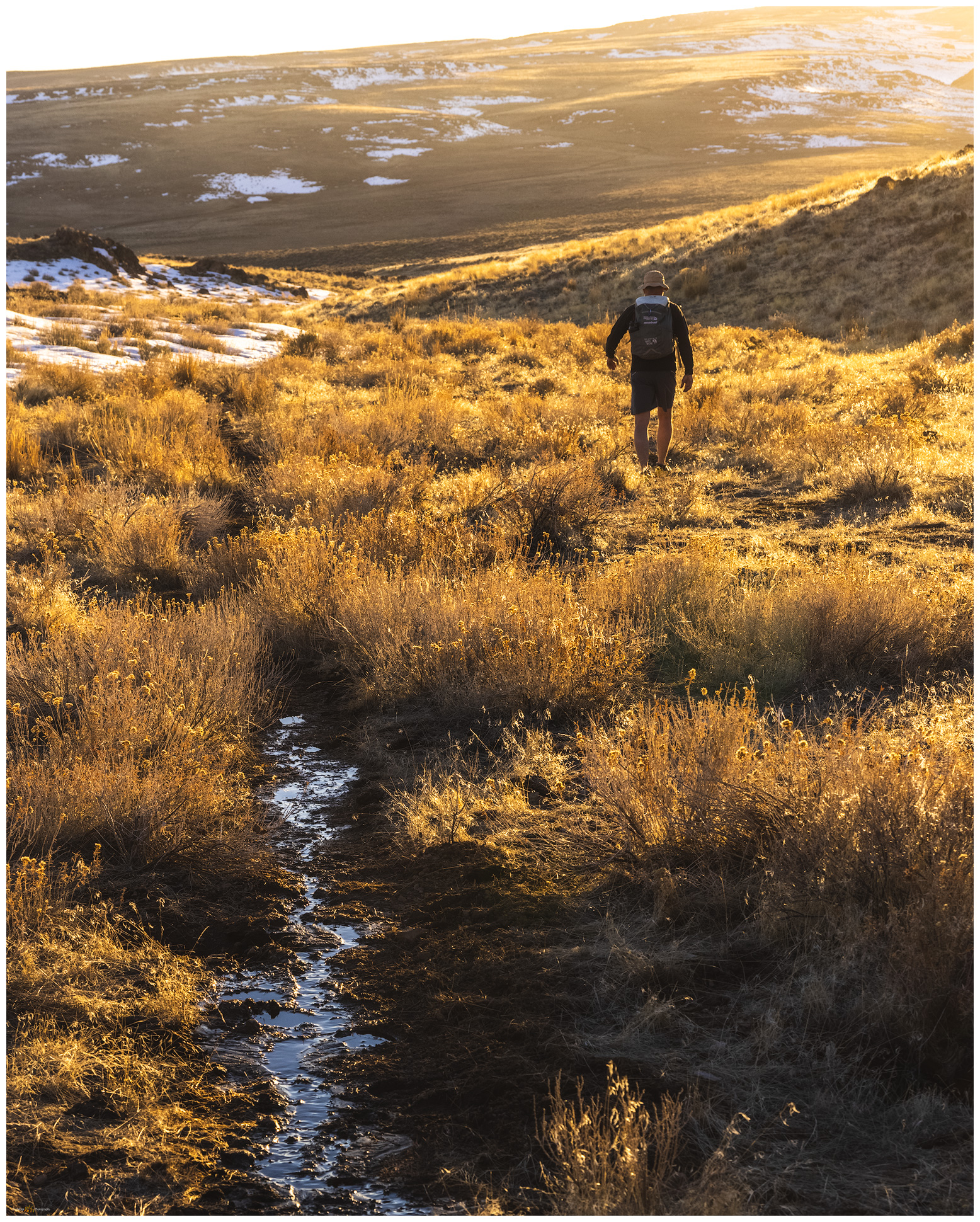
But those are stories better told elsewhere. Tonight, we are climbing through a series of rhyolitic lava flows to the rounded dome of Mahogany Mountain, the high point of the Little High Rock Mountains. We had traversed an old two track until a spring-bog stopped us. This was fine, we were less than a mile from the wilderness boundary and, because this is not a high mountain, we needed some distance to get some elevation. Intersecting another two-track, now hiking along the wilderness area, we eventually turned up a small canyon, heading cross-country up easy slopes.

Mahogany Summit. Mahogany Mountain, Great Basin Desert, Nevada.
Darren on Mahogany. Mahogany Mountain, Great Basin Desert, Nevada
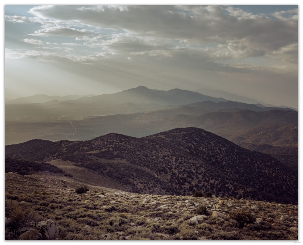
Donnelly Peak from Mahogany summit, Great Basin Desert, Nevada.

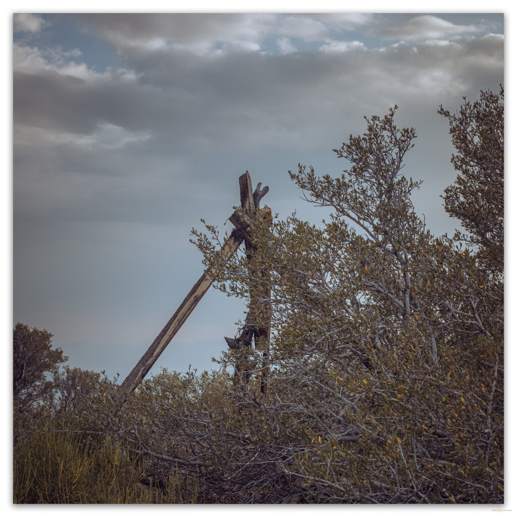
Wild horses watch from scattered groups as we follow their numerous trails between a set of rimrocks and then climb through the boulders of the summit dome. To our surprise we hit an old fenceline, probably an early grazing allotment that we have to climb over to get to the little summit cairn holding the register. It is not a popular climb but the views into the High Rock Country are magnificent. Off the north edge, a ragged stand of mountain mahogany trees gives credence to the little mountain’s name.

Walking out. Mahogany Mountain, Great Basin Desert, Nevada

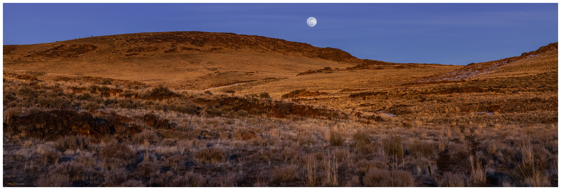
It is a cloudless sky, so the sunset comes quick, and we are soon walking anastomosing trails through golden bunch grasses, which seem not quite ready for spring. Our photography is simple and documentary, though a rising full moon provides early drama to the evening sky. In the dark, we gain the road and enjoy the walk as the brightest stars appear; the flagrant moon will keep the others at bay.

Mahogany moonrise. Mahogany Mountain, Great Basin Desert, Nevada.

HP #81 Collection

We skottle-up a post-climb feast back at camp. The moon lights up our little perch on the edge of the Cottonwood Caldera, fitting closure to our walk in the flows of the volcano’s edge.  

Keep going.

Please respect the natural and cultural resources of our public lands.
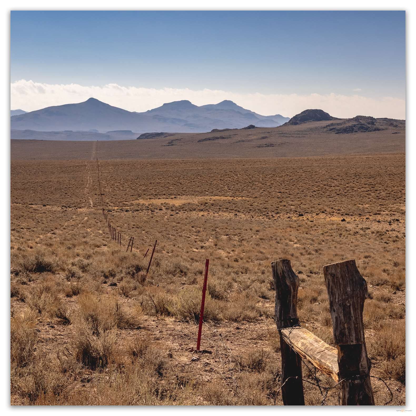
#naturefirst #keepgoing

Nevada High Points #80: Cuprite Hills

D. Craig Young · March 20, 2021 · 2 Comments

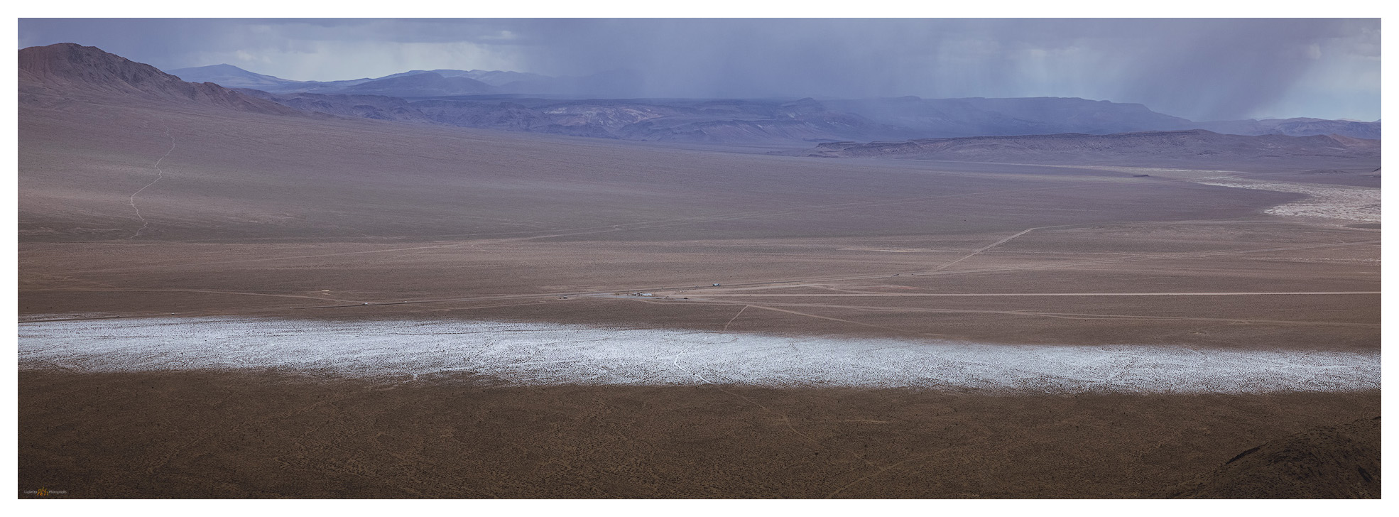
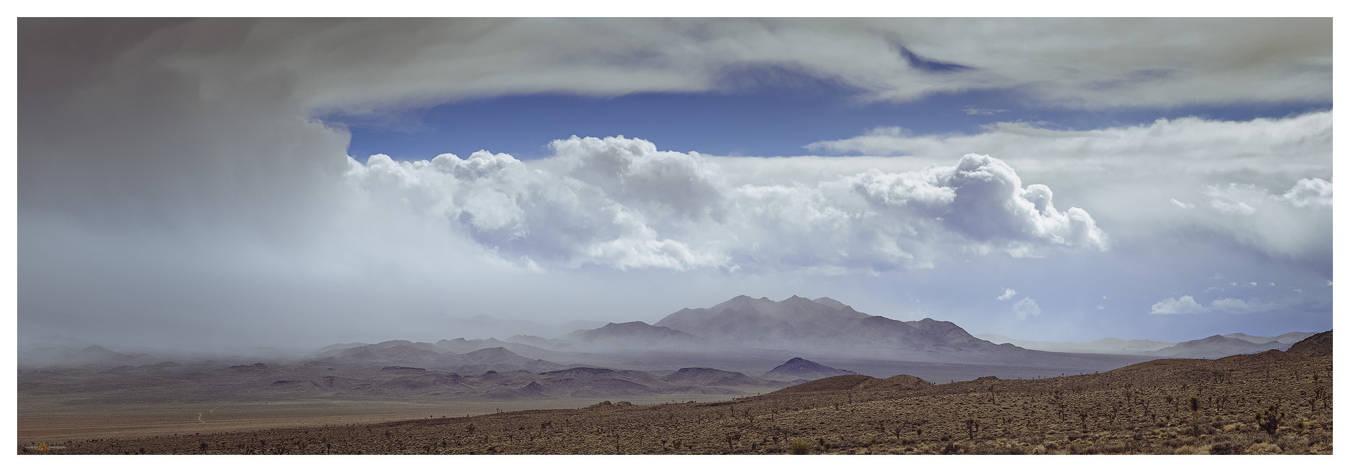
Torrential graupel storms track across Stonewall Flat toward Mud Lake playa.

Cuprite Hills HP (Peak 6071)

6071 ft (1850 m) — 1503 ft gain

2021.03.10

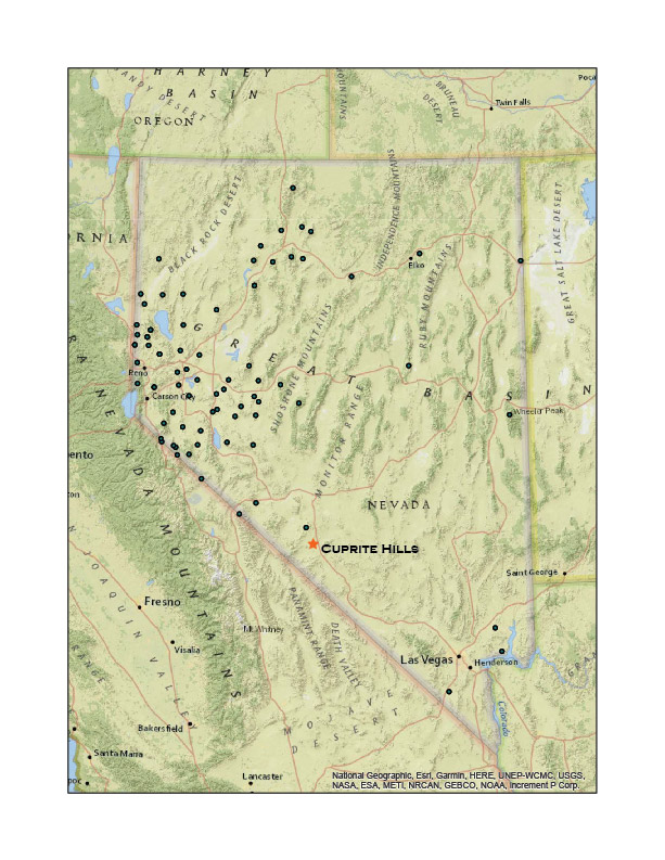
When I first imagined a quest of climbing to the high point of each of Nevada’s named mountain ranges, as I studied my collection of topographic maps, it came as a solution to a problem. As a relatively new student of geoarchaeology, I wanted to experience the variety of landforms, eco-systems, and places in the outback of the Great Basin. How best to do this? I did not want to focus on the well-known, recreational hot spots or prominent, obvious peaks – if only to satisfy my occasional mountaineering urges. So, the quest was born; its goal not simply to conquer mountains large and small but to get out and visit the widest variety of terrain across Nevada, the epitome of Great Basin variability. I have managed to stay on the quest, in fits and starts, for over 25 years. I have recently returned to the journey in earnest, reaching high point #80 – a rather poor average of three a year, I admit – in the Cuprite Hills.

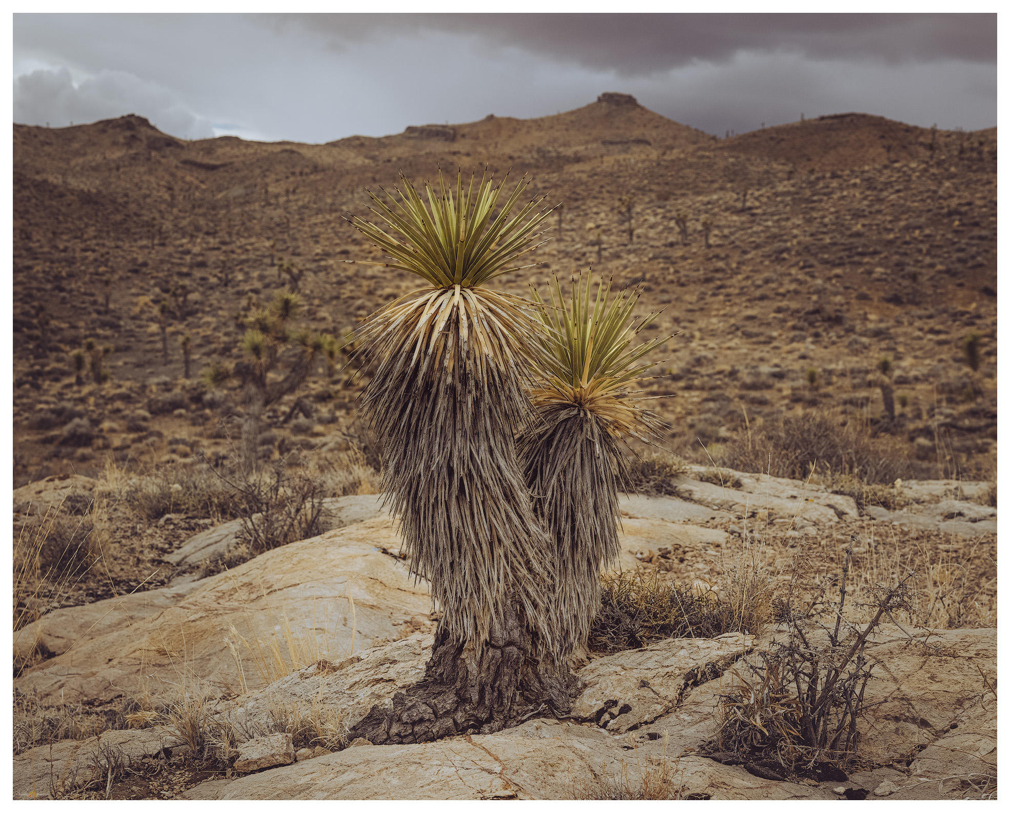
I had a field project mapping alluvial fans along the Gila Mountains near Yuma, Arizona, and that required a drive south on Highway 95 to Las Vegas and beyond. I checked my list and consulted my geographic database to see the Cuprite Hills standing lonely along my route. A hike into the dry hills would make a nice break from the day’s drive. Fortunately, the weather forecast called for stormy conditions with snow at elevation and scattered showers throughout the day – I prefer this to an unbearably clear blue sky when traversing the desert. The forecast was spot-on as I left the Walker River to climb into the landscape where the Great Basin eco-system (not necessarily congruent with the area of internal drainage defining the ‘hydrographic’ Great Basin) transitions to the warmer, drier Mojave Desert. The change becomes apparent south of the mining town of Tonopah with the appearance of iconic Joshua trees (Yucca brevifolia).

Cuprite Hills Collection

A stunted Joshua Tree (Yucca brevifolia) clings to an outcrop at the base of the Culprite Hills.

Dropping out of the Goldfield Hills, dramatic squalls intersect the highway and I am soon immersed in a rampaging graupel down-burst. Wipers on full throttle did little to improve the visibility, and nothing could compete with the sound of the pelletized snow pummeling the windshield. And here, at Lida Junction, I needed to turn onto a desert two-track to find my ‘trailhead’, an arbitrary dirt intersection on the alluvial fan somewhere beyond the squall. The graupel-depth could be measured in inches as I dropped into 4×4 and slowly worked my way up-fan. A coyote stared at me at a fenceline, his posture clearly showing his frustration with the incessant downpour. The battery dead in my camera, I missed his portrait. Of course.

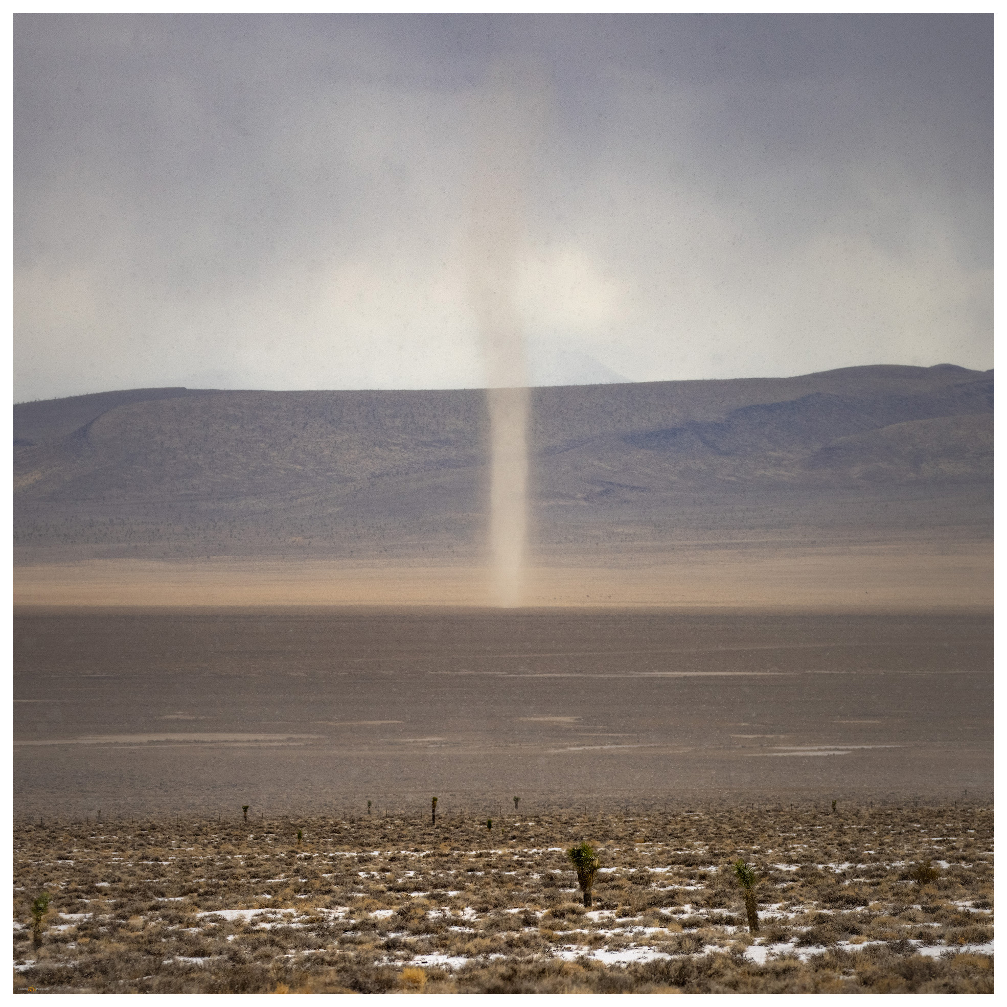
I entered a graupel squall as I approached the snow-covered track on the fans of the Cuprite Hills. With snow building on the ground before me, I turned to see a dust devil approaching from the valley bottom.

From inside the storm, I could see the swirl of winds along the margins of the down-bursts where a swarm of dust devils raced ahead. Thinking this possibly a dream, I pulled my jacket on and packed up. I was two miles from the summit and had a mile and a half, give or take, to walk up the fan before hitting the quick slope of the mountain front. Starting out as frustrated as the coyote as the pummeling continued, I suddenly walked from the squall onto dry ground and into the calm on the storm’s back side. Odd and beautiful.

Left the truck in the turbidity of the graupel squall to walk a two-track to the slopes; summit high point on the right.

It is an easy walk up the two-track past some mining prospects to the moderately steep, cross-country climb to the hilltop ridge. I am back in the wind, more squalls climbing the western front of the range where views are truncated by curtains of storms. The isolated downbursts leave tracks of graupel in their wakes, like the wet trails of snails on a morning sidewalk. I can see my truck in the midst of a well-marked storm-track on the desert floor; the track at my truck seemed the most prominent, but it was accompanied by multiple white tracks across the valleys and up mountain sides. This is not something I had experience previously and would not have had the vantage point to observe the tracks if I had not been on a quest to this relatively minor Nevada high point.

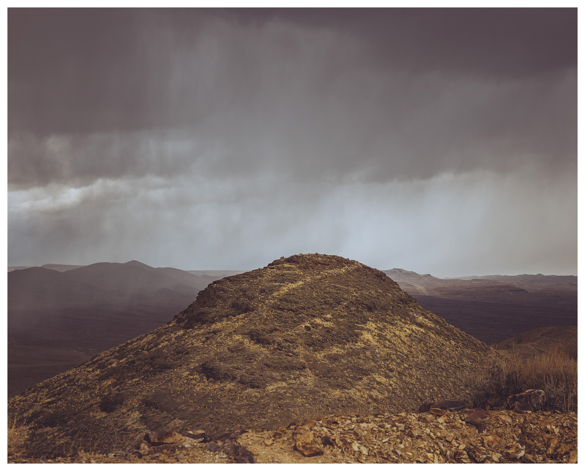
Peak 6107 — the Cuprite Hills high point; the storm providing the drama for a typically undramatic hill.

On the ridge, which I thought would hold the high point, I noticed that an abrupt hill to the north was higher, if only slightly. I dropped into a swale and then climbed again to gain the actual high point, finding a little cairn where a small jar held a few pages of a rarely signed summit register. It had been a couple years since another visitor had signed in.

A track of snow marks the storm I left as I began the short climb of the Cuprite Hills.
Dust and snow swirl around Mount Dunfee to the southwest.

Storms continued to track the desert below me, leaving ephemeral white trails as they ran. I seemed to be standing just below the clouds and the wind tried in vain to push me northward. I needed to drop southward on my return, and into the leeward shelter of the hillslope I went. Number 80 on my list, some 272 left to visit. Summiting the Cuprite Hills, and other minor bumps in Nevada’s mountainous landscape, is not an impressive feat of mountaineering – it is not even a difficult walk, but when conditions are right, these small hills provide an experience equal to, or surpassing, any climb I have done. This was a good day, and I am glad to have taken a few hours out of my drive to enjoy these mostly unnoticed hills of scattered yucca, where the storms race to the horizon and dust devils dance in snow.

Cuprite Hills Collection

Please subscribe for monthly (give or take) updates and news of upcoming excursions and projects.

Keep going.

Please respect the natural and cultural resources of our public lands.
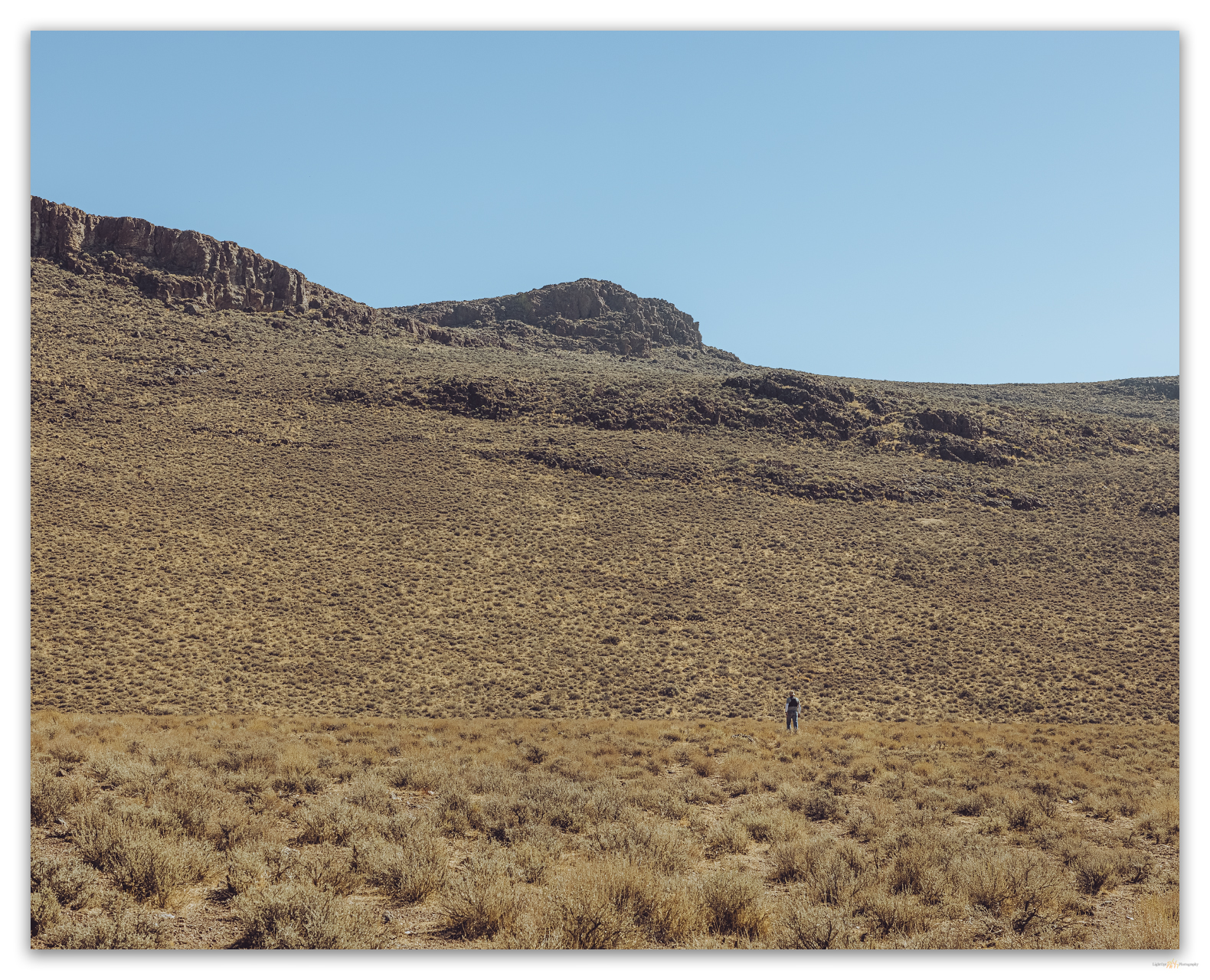
#naturefirst #keepgoing

  • « Go to Previous Page
  • Page 1
  • Interim pages omitted …
  • Page 9
  • Page 10
  • Page 11
  • Page 12
  • Page 13
  • Interim pages omitted …
  • Page 19
  • Go to Next Page »

Trail Option

Copyright © 2026 · Monochrome Pro on Genesis Framework · WordPress · Log in

  • Contact TrailOption
  • Substack
  • Waypoints Bibliography
  • Young Archives