• Skip to primary navigation
  • Skip to main content

Trail Option

A personal geography of landscape and place, art and geo-science.

  • Home
  • TrailOption Blog
  • WayPoints
  • Galleries
  • About
  • Contact TrailOption
  • Subscribe!
  • Show Search
Hide Search

Ranges and Routes

Nevada High Points #96 – Sahwave Mountains

D. Craig Young · January 4, 2022 · Leave a Comment

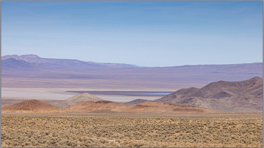
Rains leave a playa lake at Bluewing, Great Basin Desert, NV, USA

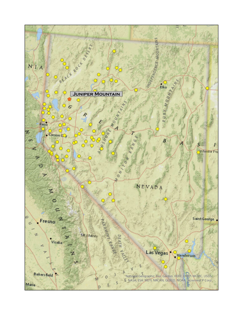
Juniper Mountain

7475 ft (2278 m) – 1960 ft gain

2021.11.27

Juniper Mountain – Sahwave Mountains Collection

Desna, my wife and partner, was at Planet X for the weekend, it is winter sale time. Although the forecast remained stable with blue skies as far as any meteorologist could see, I figured it was a good day to get into the Black Rock area and explore the Sahwave Mountains. This small but interesting range is tucked into what I call the Bluewing Triangle, that expanse south of the Black Rock playa, east of the Nightengale Mountains, northwest of Interstate 80 and the Humboldt River. There are lots of little ranges in here, and very few people.

There are many access points with roads often straight-lining across the long and wide valley bottoms. I work up to Kumiva Pass, a west-to-east route north of Winnemucca Lake. It has been a while since I was across this road. It is a little worked over from recent rains but a nice route into Kumiva Valley where the Bluewing playa spreads before me. I have a future target peak over there; I look forward to it because I have used the Bluewing drainage on the east side of Kumiva Valley as a model landscape for alluvial reworking of dust – it might be good to walk it for real!

Juniper Mountain – Sahwave Mountains Collection

Straight-line roads lead from Bluewing to the Black Rock Desert, Great Basin Desert, NV, USA

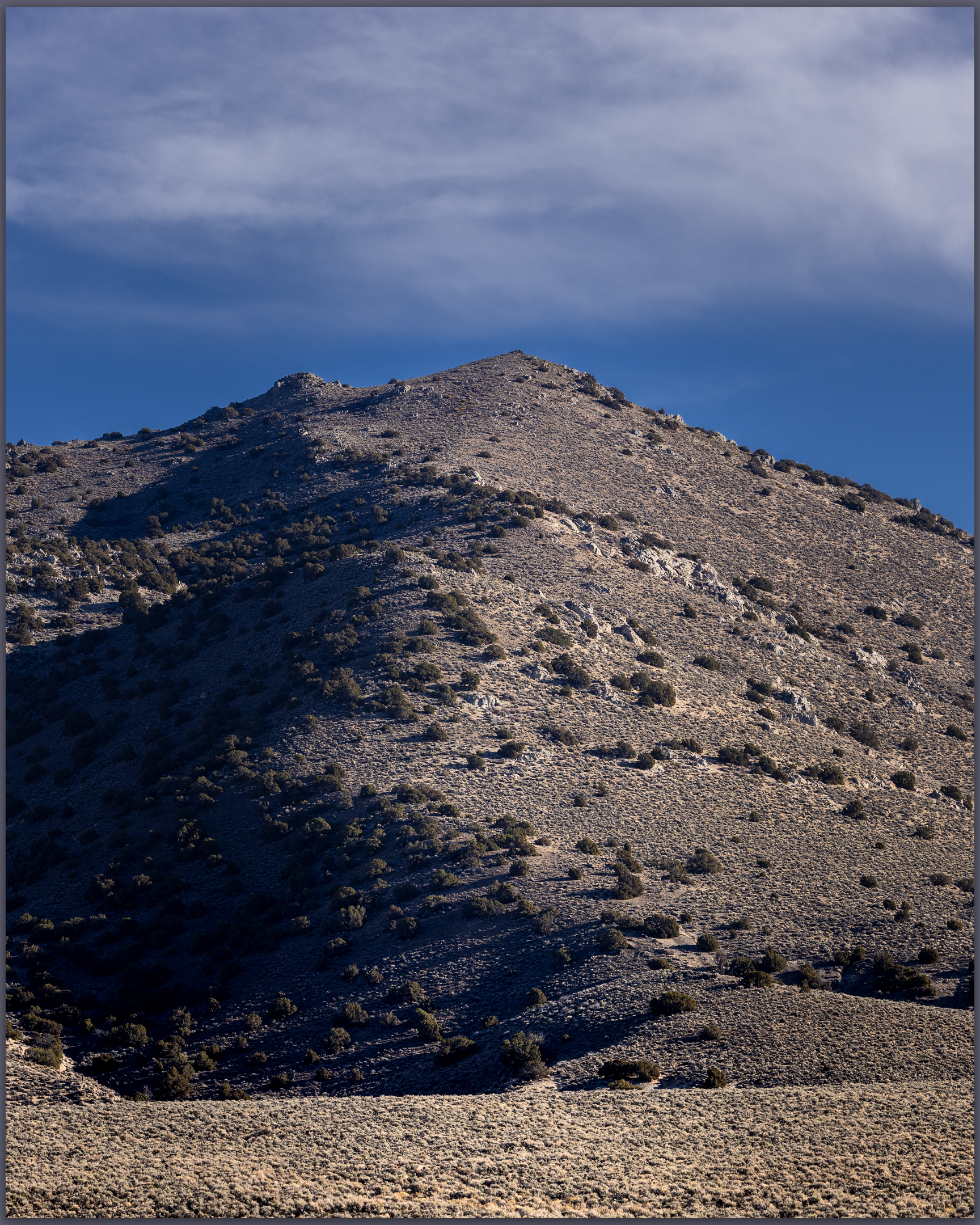
I turn south and find some good, grus-packed two-tracks leading to the mountain-front. The walk up Juniper Mountain is straight-forward. Small outcrops and benches of plutonic granite are struck through be volcanic dikes, but the slopes are generally open and grussy. There is evidence of sage grouse but I see no birds. A herd of horses curiously follows me, cuts my path, and then wanders down a drainage.
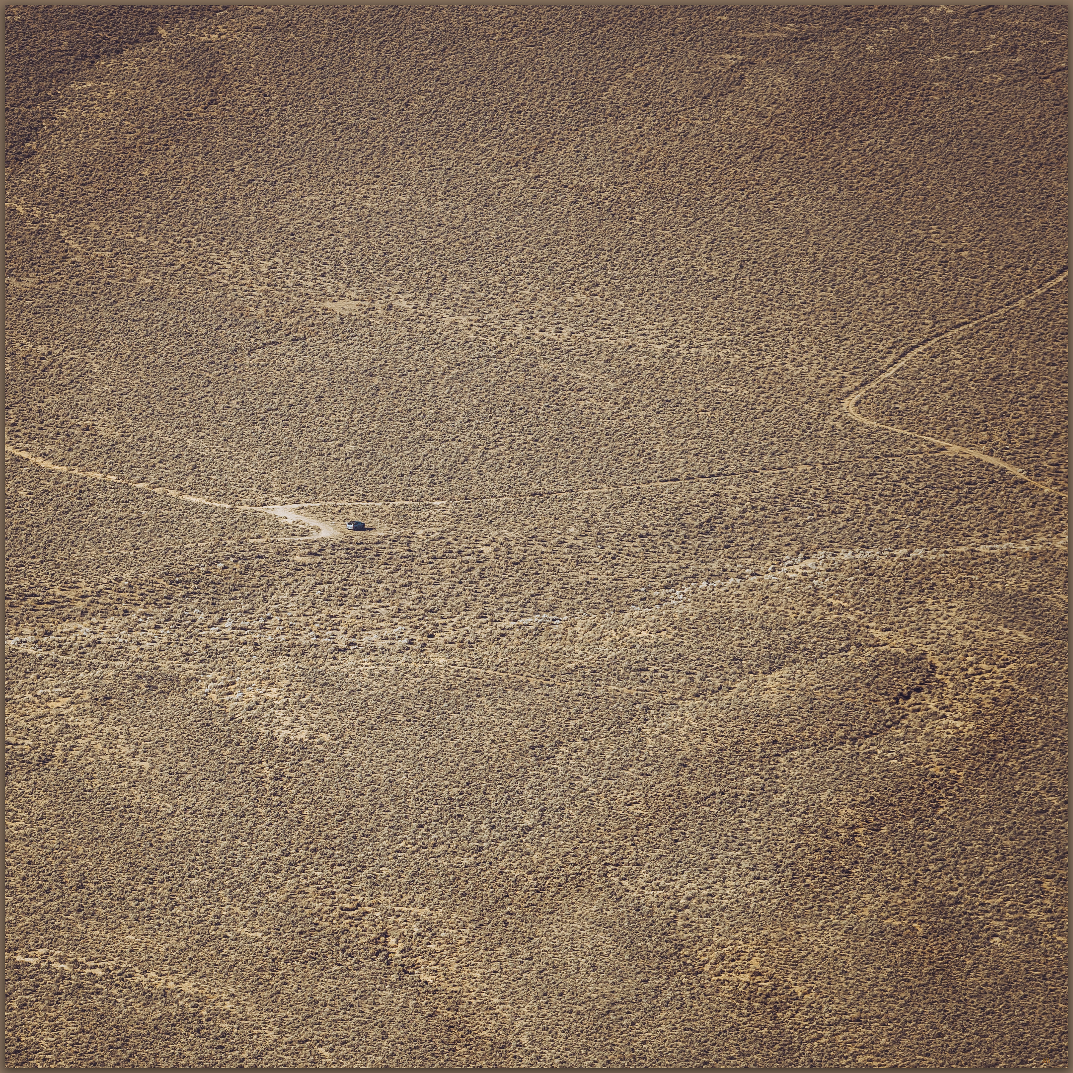
Jump off point. The truck sits on the fan below Juniper Mountain, Great Basin Desert, NV, USA
Juniper Mountain. A good walk in Sahwave Mountains, Great Basin Desert, NV, USA

For a few moments I think I have veered toward the wrong summit. The map seems correct, and I consider why so many ranges have often discrete summits that reach a similar altitude, as if there is a control on the buoyancy of the mountain block, plutonic intrusion, or erosion. I think of these things walking around and forget to delve into the questions later.
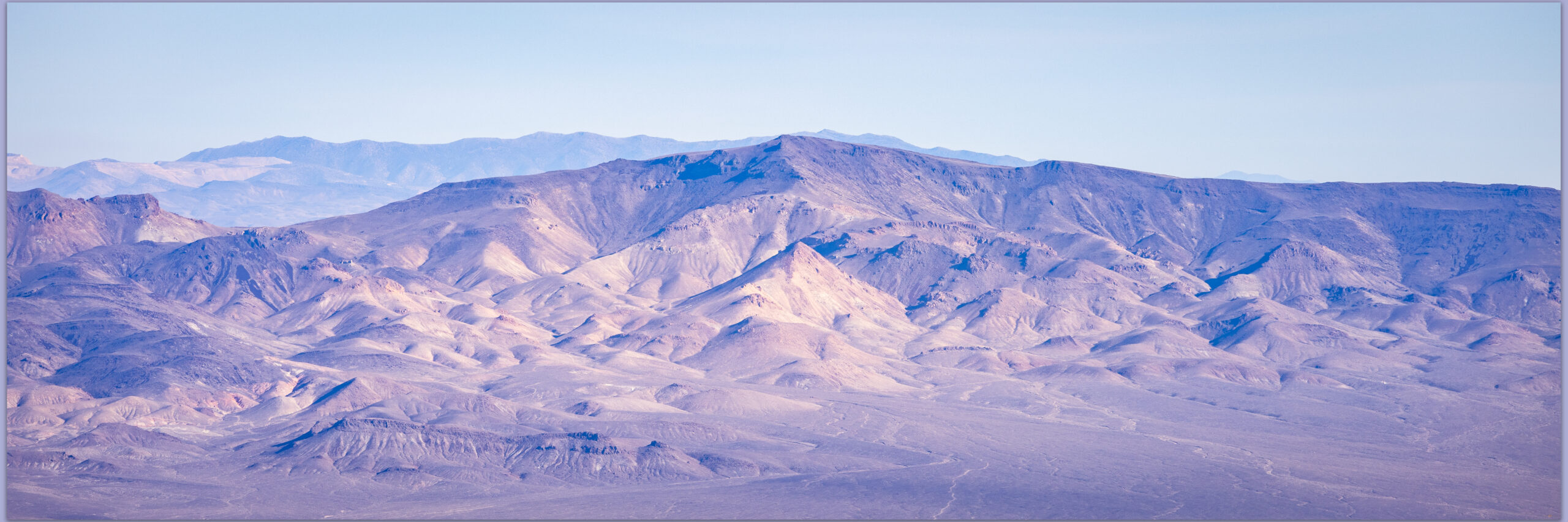
Trinity Peak. The Trinity Range rises above Granite Springs Valley, Great Basin Desert, NV, USA
Sage Hen distance. The southern view from the summit of Juniper Mountain, Great Basin Desert, NV, USA

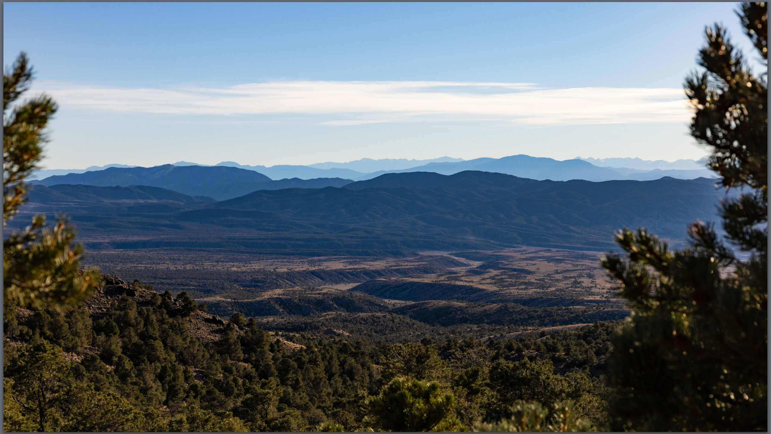
The summit has open views into Granite Springs Valley to the east, nice overlooks of Bluewing, and fading ranges into the Sierra to the southwest. Snowy peaks rise from the Sweetwaters to Mount Rose, looking more like clouds on the horizon than mountains where I have stood.

The drop back to the rig is quick. I have yet to see another car, not a dust trail in the distance. There is no one out here – a gift of the triangle. Back in the truck I work my way northward to the Black Rock Playa, finding the first of several little crowds at Frog Pond at the playa margin. I am not in the peaceful setting of Planet X soon enough.

Juniper Mountain – Sahwave Mountains Collection

Please respect the natural and cultural resources of our public lands. #naturefirst #keepgoing
Nevada High Points #95 – Palmetto Mountains

D. Craig Young · January 3, 2022 · Leave a Comment

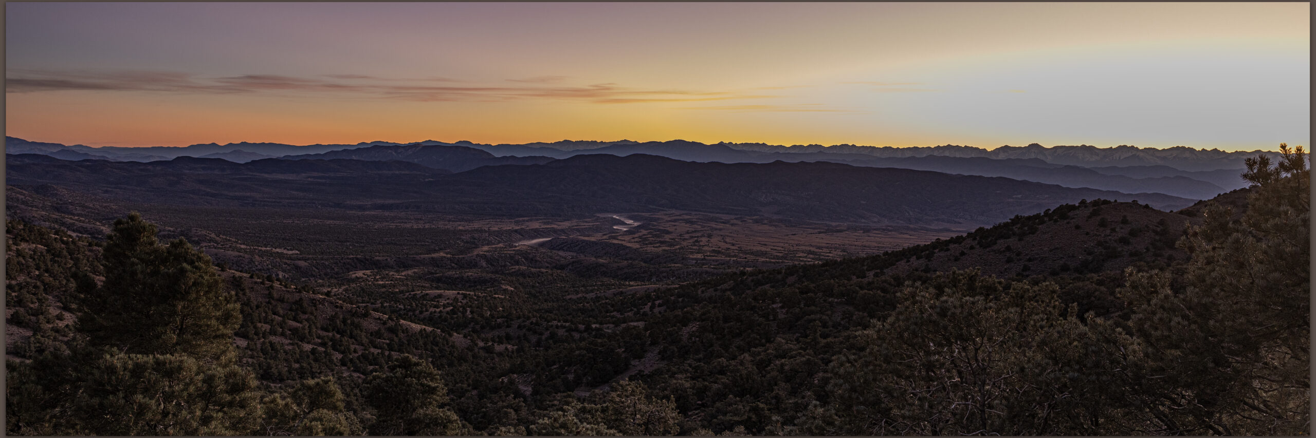
Sierra view from the Palmetto Mountains, Great Basin Desert, NV, USA

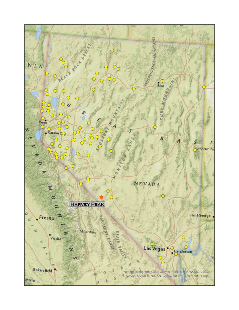
Harvey Peak

9285 ft (2830 m) – 1775 ft gain

2021.11.12

Harvey Peak – Palmetto Mountains Photo Collection

I had planned to get out early for Second Friday, but because my brother, Darren, could not join this weekend and my back had spasmed oddly yesterday, I slept late. The schedule had changed anyway. I now planned to meet colleagues in Owens Valley for a drone mapping project in the Inyo Mountains, so my journey into the Palmetto Mountains and their high point of Harvey Peak is a prelude to that.

I take the ‘fast’ route to Fish Lake Valley, through Yerington and Hawthorne, then around the Candelaria bypass. The length-wise traverse of Fish Lake Valley, below Boundary Peak (Nevada’s highest summit) and the White Mountains of California, is always longer than I remember, and I was just through here on my way to the Spring Mountains a month ago. I am pulling the trailer, and not looking to camp in the Palmettos, I stash it in a turnout along the two-lane highway. The rig now works its way through straggled mining camps, Harvey Peak rising in the northeast. I am running out of daylight, but it is a perfect day otherwise – clear and bright, not so perfect for landscape photography, of course.

The Garmin map is inaccurate, so foregoing the indicated road, I take a good turn that I soon think is a wrong turn, back out and turn around, go further east. That is no good. I go back to find my original instinct was correct and continue up-fan, parking below steep slopes. There are clearly roads to the top, but I always want to be at least 1.5 miles from and 1500 feet below from a summit, even if I could drive the entire route. That is no way to experience a mountain.

Evening light on Clayton Valley, Palmetto Mountains, Great Basin Desert, NV, USA

I begin in a thick band of pinyon, a broad apron on the slopes of the Palmettos – the range’s name comes from a slightly inaccurate description of the region’s Joshua Trees, a few of which gather on slopes to the south. The sun is fading as I make open slopes near a bumpy ridgeline that wanders up-and-down as it climbs to a rocky summit. Groves of Curl-leaf Mountain Mahogany shelter in alcoves and indented swales in the hillslopes. Two beautiful mule deer exit as I enter a protected grove that had drawn my attention. I have exposed their hideaway.

Montezuma Peak from the slopes of Harvey Peak, Palmetto Mountains, Great Basin Desert, NV, USA

I regretted my trespass as I turned around an outcrop to find a pair of trucks and several pedestrian hunters scouting the ridge, looking in scopes, or, in one case, sleeping in a truck cab. The sleeper’s truck was not parked on a road but looked as if it had just rolled to a stop like any other local, slope-stalled boulder. I crept past the slumbering man and approached the several other scouts, impressed that all their scopes were pointing in directions other than that of the tip-toeing deer I had so recently flushed. My secret seems safe as I say hello and, heavily out-gunned, wave shyly, the oddity of a camera-toting hiker strolling out of the blue hour.

There are two hunters and a Toyota from Tonopah at the summit register. I have not had company like this on a summit since the summit of Mount Rose, the beautiful dog-route above Reno. We chat about other hills and I get info on a good route on Lone Mountain to the northeast. I can see Montezuma Peak above Clayton Valley, and Lone Mountain just beyond is a future goal.

Hunter Uber. Hunting scouts offering rides on the evening descent, Palmetto Mountains, Great Basin Desert, NV, USA

I head down into the dark, but I am soon followed by the truck, which seems to be picking up all the other hunters. I leave the track to follow game trails, night closing in around me. Bats flicker among the pinyon as an ATV intercepts me just above my truck. “Wow, you’re getting in the mileage.” Maybe. My watch just turned over 5.0, and I could probably seem my rig if it were light.

Toward the Sierra. Palmetto Mountains, Great Basin Desert, NV, USA

Harvey Peak – Palmetto Mountains Photo Collection

The photography was uninspired as I was made inattentive by all the activity along the ridge. I enjoyed the walk, noticing that my back muscles, freed from the desk and chair, had warmed to the walk and I drove into the night painfree. I camped at an artesian well on a broad alluvial fan on the Nevada-California border, ready for a short expedition into the Inyo Mountains.

Keep going.

Please respect the natural and cultural resources of our public lands.

#naturefirst #keepgoing
Nevada High Points #94 – Bird Spring Range

D. Craig Young · December 4, 2021 · Leave a Comment

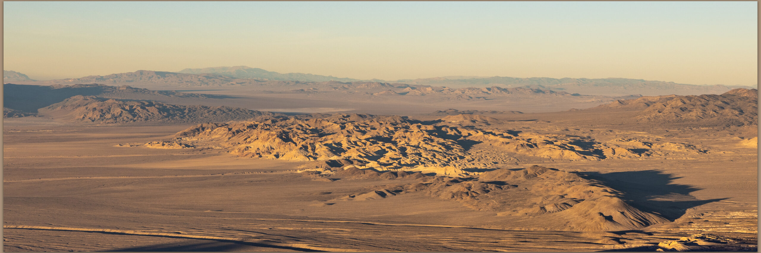
False glitter. The lights of Las Vegas, Bird Spring Mountains, Mojave Desert, USA

Peak 5695

5695 ft (1736 m) – 1050 gain

2021.10.15

Peak 5965 – Bird Spring Range Photo Collection

Thankfully, my time in Vegas was about over. Leaving the conference hotel in the early evening, I worked my way south toward Jean, Nevada, eventually turning west toward Goodsprings. I hit the flaggy cobble-strewn track cut into the carbonate fans at the western slopes of the Bird Spring Range; the track parallels a dendritic dry wash draining the southern end of the Spring Mountains, of which the Bird Springs are a southeastern extension. The road, incised by consistent travel, cuts through a rocky plan of Joshua Trees and creosote. A smoother, less-used track heads into a broad swale in the northeastern portion of the range. I do not want to drive too far, as it looks like tracks head toward the summit ridge, so I find a turn out and settle into an evening walk.

Bird Spring approach. An easy evening walk to the high point of the Bird Spring Range, Mojave Desert, USA
Cactus light. The sharp ends catch the last light of the evening, Bird Spring Range, Mojave Desert, USA

The light feels harsh until the sun is on the brink of the horizon, golden hour rushes past in mere minutes. I am, however, excited by the walk into nightfall, making way steadily up a useless vehicle trail. A few outcrops of gritty limestone punctuate the trail, where a bright waning moon is diligently chasing the sun. The upper steps of flaggy limestone are steep, and it seems the vehicles have forced their way to a rounded summit plateau. It is a dead-end drive, but I guess the lights of Las Vegas are the draw – and a cheap way to climb a mountain. Happy I am alone this evening.

Into the dark. Night settles in as I approach the steep summit trail, Bird Spring Range, Mojave Desert, USA

I find the summit cairn of Peak 5695, high point of the Bird Spring Range. Earth’s shadow has rocketed past, and the Vegas glitter shows its fleeting beauty – it does look fancy and promising from this height and distance. I am glad to have followed my previous morning outings with an evening one.

Summit register #94

Peak 5965 – Bird Spring Range Collection

The descent is slow in the cone of the headlamp light, ball-bearing gravel rolling on limestone steps. A Joshua Tree, with a reaching arm, startles me as it pops into the peripheral light, anthropomorphic brush at my shoulder. I laugh out loud, only to shiver at the sudden creepiness. But as things flatten in the canyon bottom, I enjoy the last of the moonlight.

It has been a good week of walks in the hills of southern Nevada’s Mojave Desert. I will admit, however, that the peak-bagging spree has begun to lose its magic. I needed the escape from the urbanity of Vegas, but the series of small peaks – though high points of named ranges – has felt hurried. I look forward to slowing down and moving further east on my future visits this far south.

Keep going.

Please respect the natural and cultural resources of our public lands.

#naturefirst #keepgoing
Nevada High Points #93 – River Mountains

D. Craig Young · December 1, 2021 · Leave a Comment

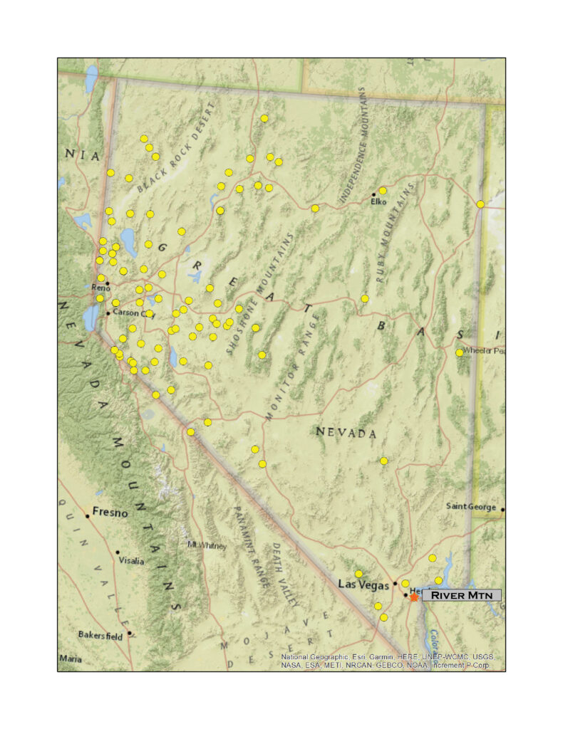
River Mountain

3789 ft (1155 m) – 1013 ft gain

2021.10.13

Away from hotel early, going for two days in a row. If I must hang around Vegas for the week, I can focus on a few highpoints in some of the smaller local ranges. Continuing east of the city, I shift southward from the Frenchman Mountains to the River Mountains above Boulder City and Lake Mead. I drive into Boulder City before sunrise and find the trailheads of Bootleg Canyon, a local mountain-bike mecca.

HP #93 Collection

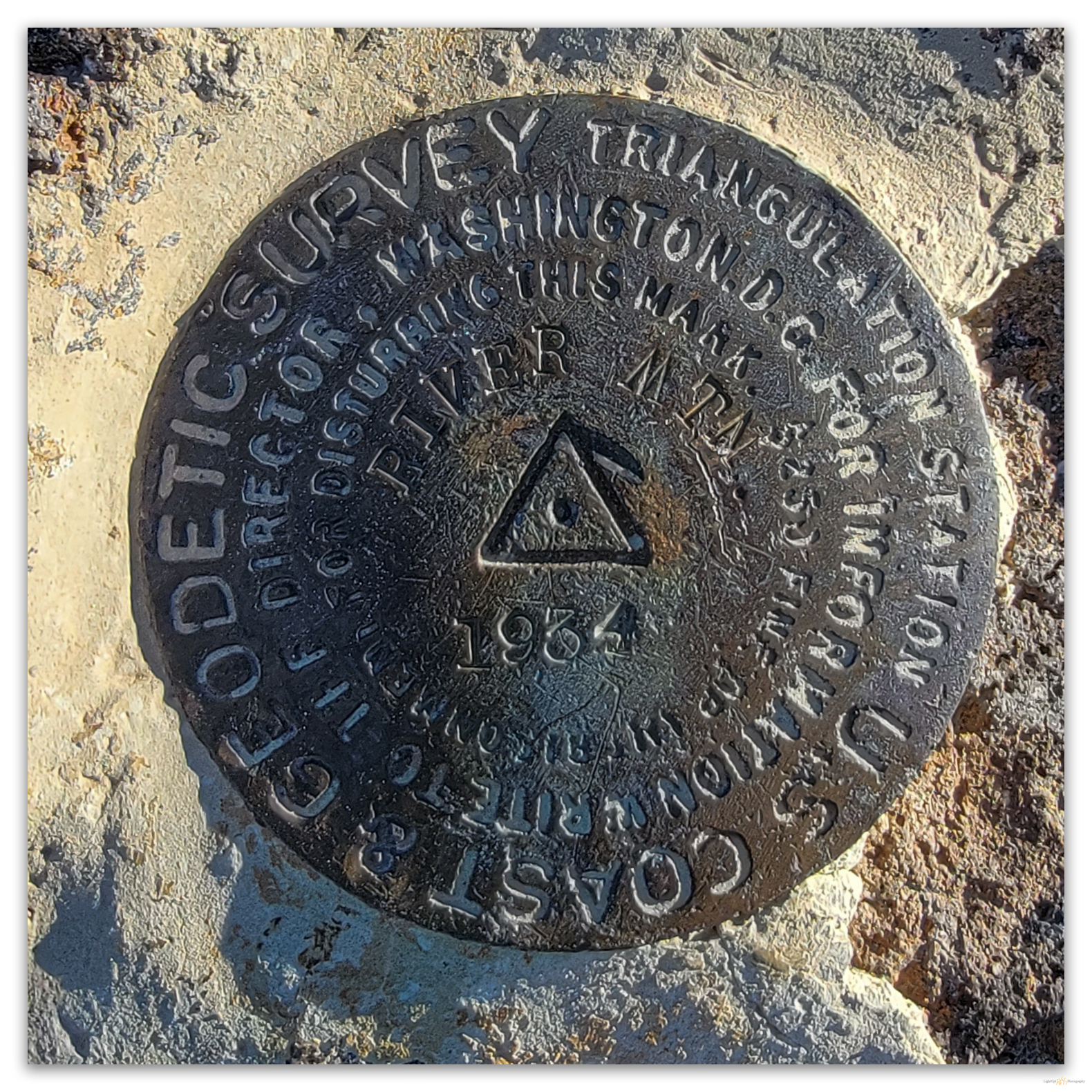
A summit marker on the rocks of River Mountain, Mojave Desert, USA

Film takes time, and processing Velvia is a bit of rough, and not so welcome, chemistry, or so I have come to realize. When will the 35mm slides return from the lab?  It has a been almost two months since I summited River Mountain and shared time with the ram. How will the photos turn out?  I’ll update the post with a few scans of the images, good or bad, as soon as they arrive.


I drive up-canyon a short distance and find a good parking area out of the way of any bikers that might show later. Starting out on one of the signed single-tracks, I soon abandon the trail to traverse the broad alluvial fan with several dendritic, inset gullies, eventually finding an access road that runs below a twin set of power lines. The crackle of Vegas punctuates the quiet morning as the endless hunger of paradise draws from the dammed river. The lines cut the pass between the River Mountain highpoint and the prominent scarp of Black Mountain to the south. I must get out from under the line, so I turn north to go direct up volcanic slopes – easily the steepest slope I have been on in a while. There is no trail. I step among the puzzled boulders of talus aprons and colluvial cones below two sets of outcrops before gaining the summit ridge. Easy rock-hopping winds north to a small summit cairn and some benchmarks. The summit has good views of the lake and a landscape of solar facilities to the south – both scars of our quest for power, clean as it might be.

My mountain walks remain a mix of exploration, simple and personal, and documentary photography.  While I am happy with many of the images I create on these walks, I do not think I am investing the amount of time or getting myself into positions with subject that tell the story of the mountain range and its setting. This goal is practically ignored on these pre-workday scrambles; I am basically just peak-bagging.  But today I decided to limit myself to film, working with my 40-year-old Canon AE-1 and Velvia 100. It feels good in my hand, like so many days in the mountains and deserts of my past.

Back to the future. The Canon AE-1, 35mm Velvia 100 on this summit day, but we will have to wait a bit for processing.

Once at the summit, I drop down along the standard trail – the summit register is a rather elaborate ammo-can, it is a popular destination. This will mean intersecting the powerline road again, but that will have to do. As this unfortunate thought burrowed into my head, I heard rock fall and talus crunching and scittering; then silence. Then again, and again. Tracing the sound back to the slopes just behind me, I finally notice a solo bighorn ram climbing easily to the col I just left. He is fabulous. As I’m dropping along the standard trail, I hear talus crunches somewhere nearby. Waiting for a short while, they repeat. I then notice a solo bighorn ram climbing to cross my recent track. He’s fabulous.

Only moments ago, before leaving the summit, I had changed to a 70-200mm lens hoping for a wildlife encounter. I had been thinking possible a desert tortoise or a pair of ravens, not a large, majestic ram. I have learned since that the River Mountains have a large, introduced population of desert bighorns, but, still, it felt a wonderful surprise at the moment. I practically burned the whole roll of 36 exposures on this guy. I hope I am getting the focus correct, this well-used lens is new to me. I’m shooting f/8 and typically around 1/125 or 1/250 of a second. Usually too slow for wildlife, but I am completely novice at working wildlife with analog film stock and camera. On digital I could jack up the ISO and get a high shutter speed, but film is not as flexible and requires talent to get results. Probably could have opened things up a bit, but I only have another stop or so with this lens. I am typically using one stop down to account for the bright sky, at least I think that is what I am reading from the camera. If the camera suggests F8, I set to F8 but then adjust shutter speed to have camera show F5.6 on the meter. I think it is telling me I am shooting one stop too fast/dark, this being my goal. We will see. I hope it they are not under exposed. The ram moves deliberately from the col to the ridge and then disappears. Even if I botched the photographs, the walk provided a few special moments with the wonderful animal.

HP #93 Collection

After dropping along the rough access road, I reverse my trajectory across the alluvial fans. Hoping to intersect a roadrunner or other interesting birds, I find nothing but quiet under blue morning sky. A good walk to begin another workday on the road.

Keep going.

Please respect the natural and cultural resources of our public lands.

#naturefirst #keepgoing
Nevada High Points #92 – Frenchman Range

D. Craig Young · November 9, 2021 · 2 Comments

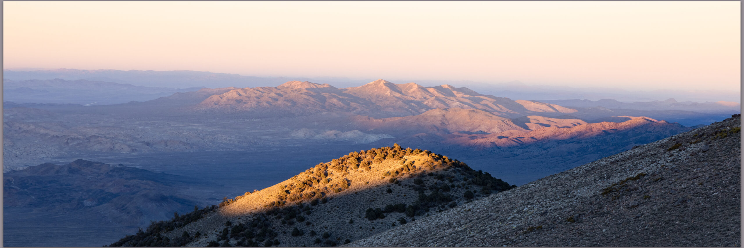
Sunrise Mountain. The skyward tilt of the limestone rocks of Sunrise Mountain guarding the northern end of the Frenchman Range, Mojave Desert, USA

Frenchman Mountain

4052 ft (1235 m) – 2400 ft gain

2021.11.12

I slept much better in Kyle Canyon the other night. The past two nights, however, have been strange. I have a room at the Flamingo in Las Vegas; it is a perfectly fine room with a nice view, but I feel trapped. Although I have a conference to attend later in the week, and work to do at our local office, I need to get out early and get back in the air.

I am in Vegas for the week, so I plan to take advantage and get beyond the urban interface to summit a few of the local, small high points, a couple of which are visible from my 24th-story window. But, before I can see any mountains on the eastern horizon, I am driving into the dark of the early morning and into a sheeting rain squall on the Lake Mead highway. Frenchman Mountain, the high point of the range of the same name, is the goal for this morning’s walk. It is a mountain I have looked at every time I am in Las Vegas Valley, and I stared at it for much of the time I spent in my hotel room yesterday – I am no fan of the casino and with the pandemic in its delta phase, and who knows what that is, I am not spending much time in the public masses of the casino floor.

The rain let up as dawn approached. Behind the rain, a brisk wind poured from the north, ripping at my jacket as I left the trailhead. The hike to the summit is rather uninteresting, and I kind of wish I would have found the faint trail that climbs from the west, but in the dark of a quick morning, the road to the summit towers makes sense. It is a road, however, that seems to go straight up. The hike stirs the soreness that echoes from the Charleston Peak effort a few days ago, but it fades as I gain elevation.

HP #92 Collection

Frenchman Summit. Communication towers at the high point of the Frenchman Mountains, Frenchman Range, Mojave Desert, USA

The road folds in ever-climbing switchbacks into the cleft of the canyon and views are only to the north. I am soon at the first pass; a false summit that might be disappointing if I did not expect it. I knew I would lose a lot of elevation after this pass before climbing the second steep grade to the summit. It came as no surprise. I would later see two groups that arriving at this point and, looking down the steep drop before the track’s ultimate rise, and probably influenced by the buffeting wind concentrated at the pass, would seem to utter, “forget it”, and turn back, descending to the trailhead.

The uninteresting ascent, descent, and ascent-again is well worth it. Thinly bedded, brown to white sandstone, limestone, and dolomite protrude in crenelated skins, tilted razors peeling away against the sky. Cactus, creosote, and blackbrush cling to the steep, parched slopes.

Seafloor reckoning. Tilted beds of limestone and dolomite form the dramatic crest along the summit of Frenchman Mountain, Frenchman Range, Mojave Desert, USA

A misstep on the summit ridge could mean a deadly tumble in the washes thousands of feet below. It is surprising and exhilaratingly steep. I wander the summit straddling the ridge, the summit towers obscuring the natural setting and sitting in two clusters along the ridge. But these dramatic mountain rises above one of the most unnatural settings there is: Las Vegas blankets the valley below the peak, a sparkling mundanity of straight-line streets leading to the false opulence of the strip. (Is that too much? It is how I feel this morning because I am expected back down there).

The hike back to the trailhead is quick and windy. I meet the parties that re-think their outing at the first, false summit. I encourage them onward, but soon notice they are following me down.

Back on the 24th floor of the casino, I see Frenchman rising on the valley’s eastern skyline. It will greet the sun early tomorrow morning (and many days after, of course), but I will look at it a differently than I have in the past. It was a good to roam its summit and a great way to escape the valley, chasing the squalls into the early light. If I look to the south, I can see the River Mountains, I think I will do this again tomorrow.

Early snow on Charleston. Snow remains from the squalls of our summit day on Charleston Peak in the distance, Spring Mountains, Mojave Desert, USA

HP #92 Collection

Keep going.

Please respect the natural and cultural resources of our public lands.

#naturefirst #keepgoing

  • « Go to Previous Page
  • Page 1
  • Interim pages omitted …
  • Page 6
  • Page 7
  • Page 8
  • Page 9
  • Page 10
  • Interim pages omitted …
  • Page 12
  • Go to Next Page »

Trail Option

Copyright © 2026 · Monochrome Pro on Genesis Framework · WordPress · Log in

  • Contact TrailOption
  • Substack
  • Waypoints Bibliography
  • Young Archives