• Skip to primary navigation
  • Skip to main content

Trail Option

A personal geography of landscape and place, art and geo-science.

  • Home
  • TrailOption Blog
  • About
  • Contact TrailOption
  • Subscribe!
  • Lost Journals
  • Show Search
Hide Search

Ranges and Routes

Nevada High Points #121 — Sentinel Hills

D. Craig Young · July 28, 2024 · Leave a Comment

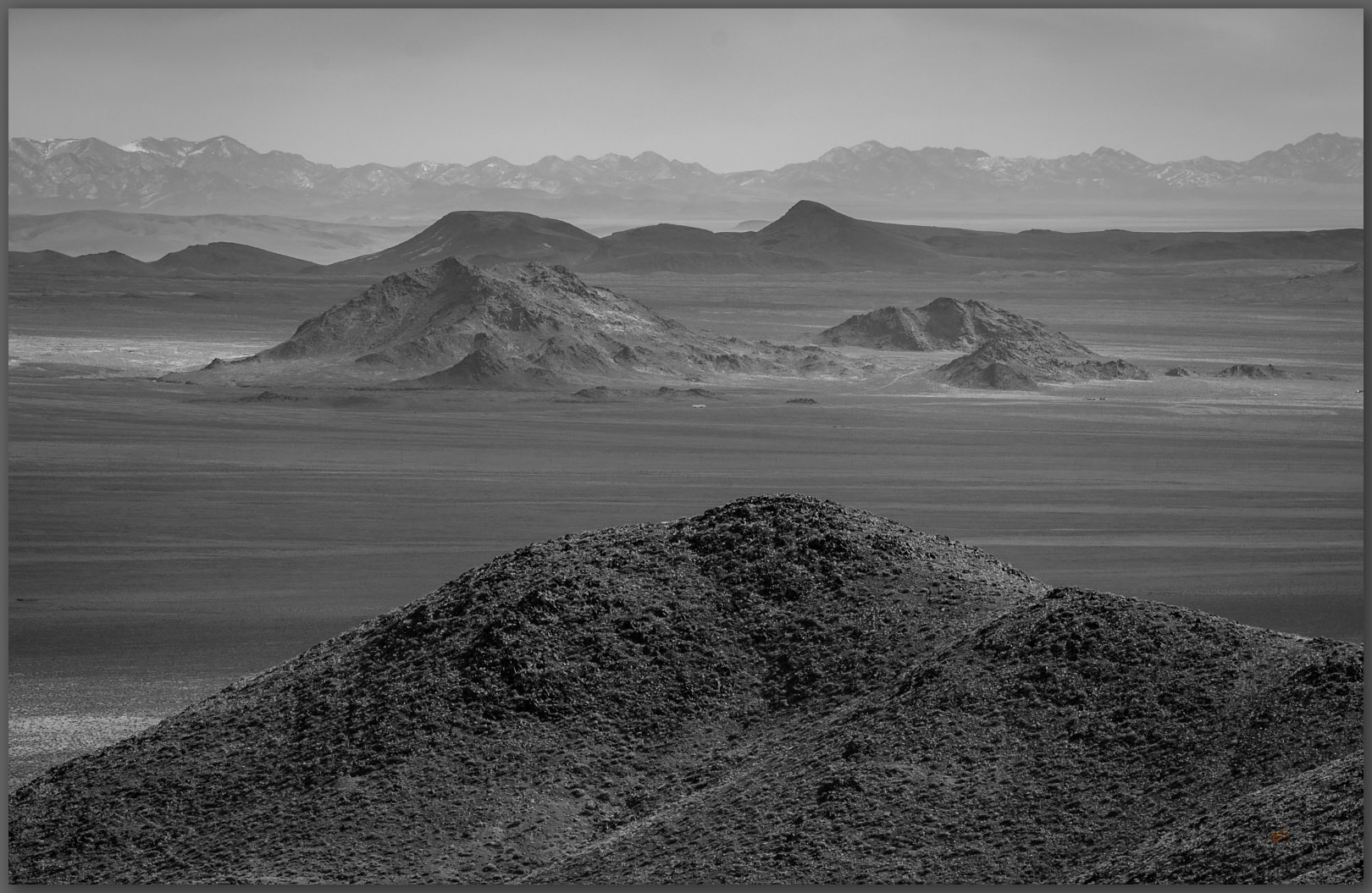
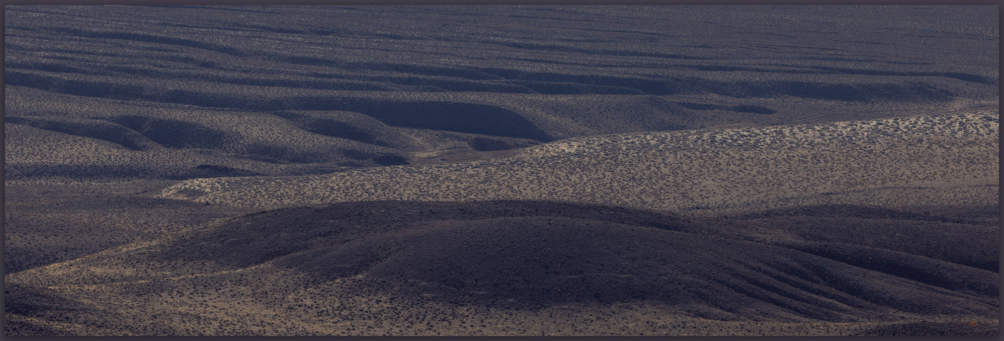
Quinn River Valley. Sentinel Hills, Great Basin Desert, NV, USA

Hoppin Peak

6148 ft (1874 m) – 1260 ft gain

2024.05.07


It was time to close the day. I left McDermitt, Nevada, after sharing results of recent projects in a long meeting with the council of the Paiute-Shoshone Tribe. Archaeological studies driven by proposed developments are not always welcomed, and while the meetings are almost always cordial and informative, they can be emotional and contentious given the variety of views regarding the impacts, good and bad, that projects bring. I do my best to be honest and clear in my presentations, but I understand that I work for a project proponent (utility or mining companies, for example) at the behest of a government agency, and sometimes limited by my western scientific perspective, I fail to resolve and answer adequately the deeper concerns of some members of the traditional community. We could do better. Weary from the long meeting, I pointed my rig into the hills west of Quinn River Valley, breathing easier and settling into the fading light of the afternoon.

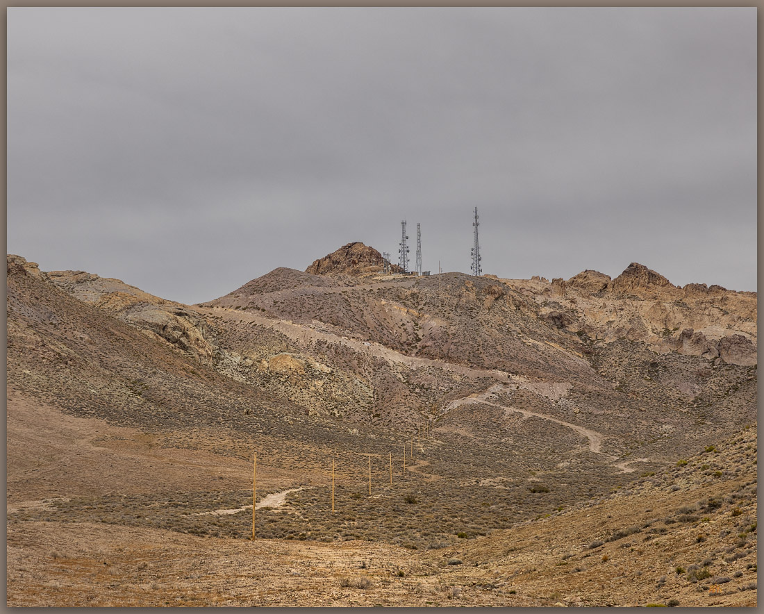
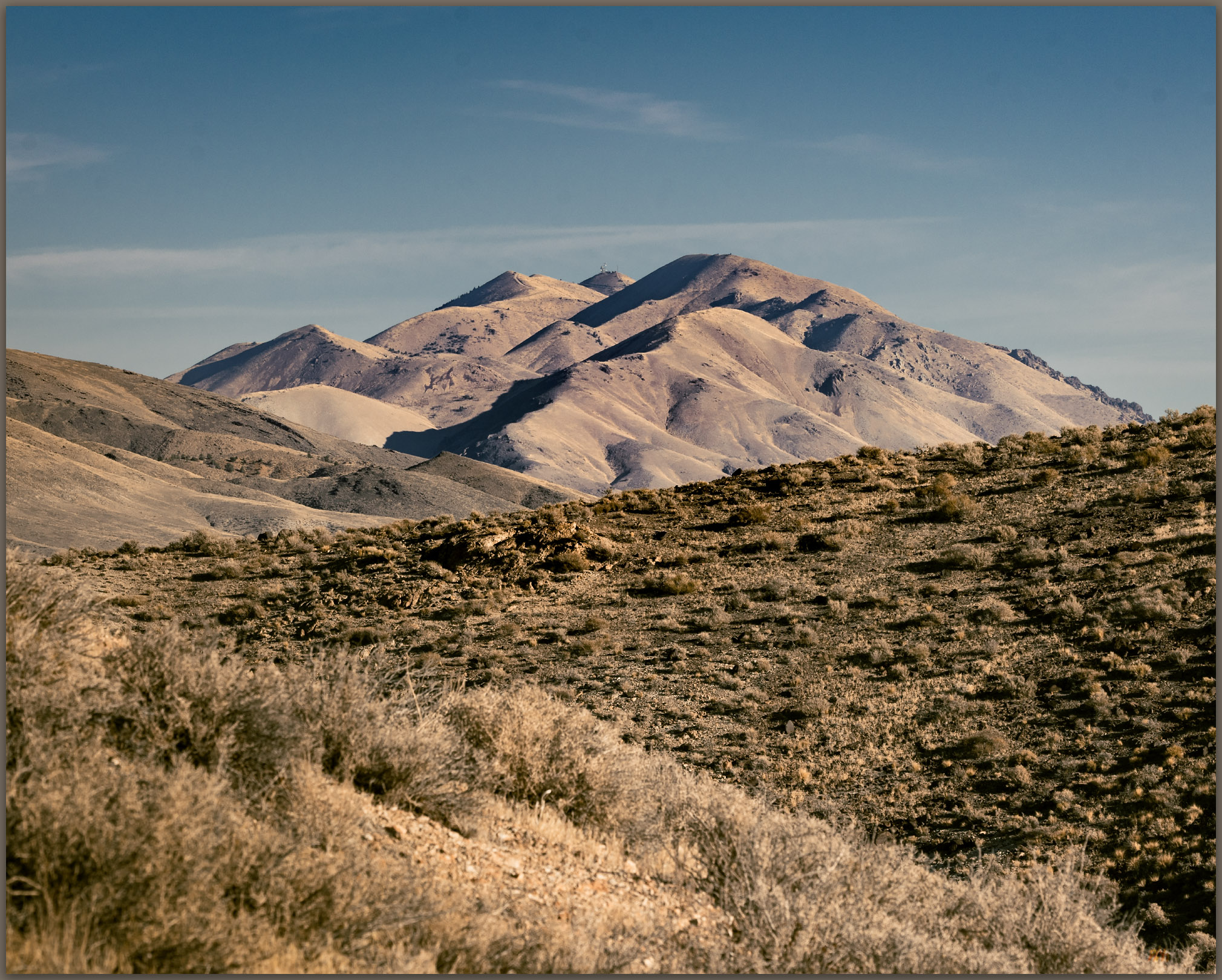
Reveling in the sound of dirt under my tires, my head cleared; a pronghorn antelope stared at my intrusion. The volcanic tablelands of the Sentinel Hills spread to the southern horizon, and I could see Hoppin Peak rising as a rim-rocked butte, which I knew overlooked the Quinn River Valley now to my east. I would camp up here in the sagebrush and cheatgrass but, first, I thought I had enough evening light to walk a few miles to the Hoppin Peak high point. Finding a level area to eventually pitch my tent, I grabbed my pack and set off.

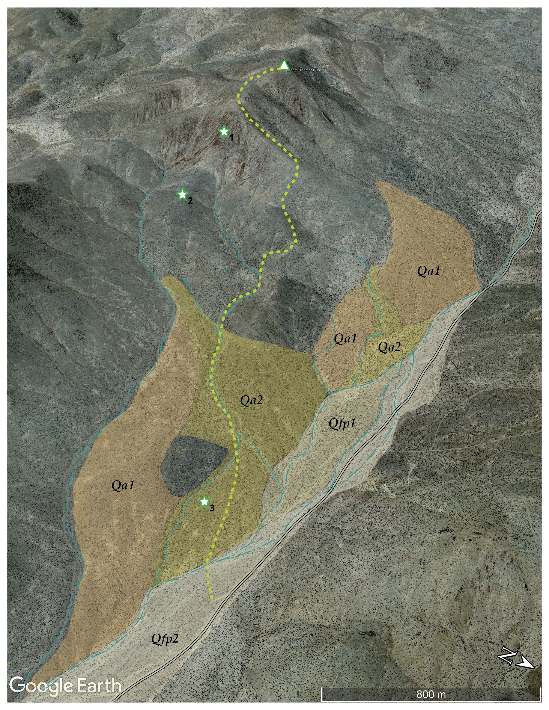
Hoppin Peak. High point of the Sentinel Hills, Great Basin Desert, NV, USA (Map point #1)
Oblique aerial imagery of a section of the Sentinel Hills showing route to Hoppin Peak.

The Sentinel Hills are block-faulted remnants of lava flows that oozed from the volcano that would eventually collapse to form the McDermitt caldera. Prior to its collapse, the volcano extruded a prodigious amount of rhyolitic tuff and lava. The eruption produced deep beds of pyroclastic ash with unimaginably hot and dense ground-clouds transitioning to highly viscous lavas; these may have cycled over and over as eruption followed eruption during the fiery event. In places, the weight of the viscous beds (along with somewhat unique combinations of chemistry and water content) resulted in strata of thick, glassy ignimbrite beds and, sometimes, massive glass beds of obsidian were left behind. These processes, especially the extensive evacuation of so much volcanic material, resulted in the volcano’s collapse by about 17 million years ago, leaving a mark on northern Nevada that remains to this day – and leaving a vast toolstone resource so prominent in the regional archaeological record. I have spent considerable time in the hills of the caldera but have yet to visit the high point on its eastern margin.

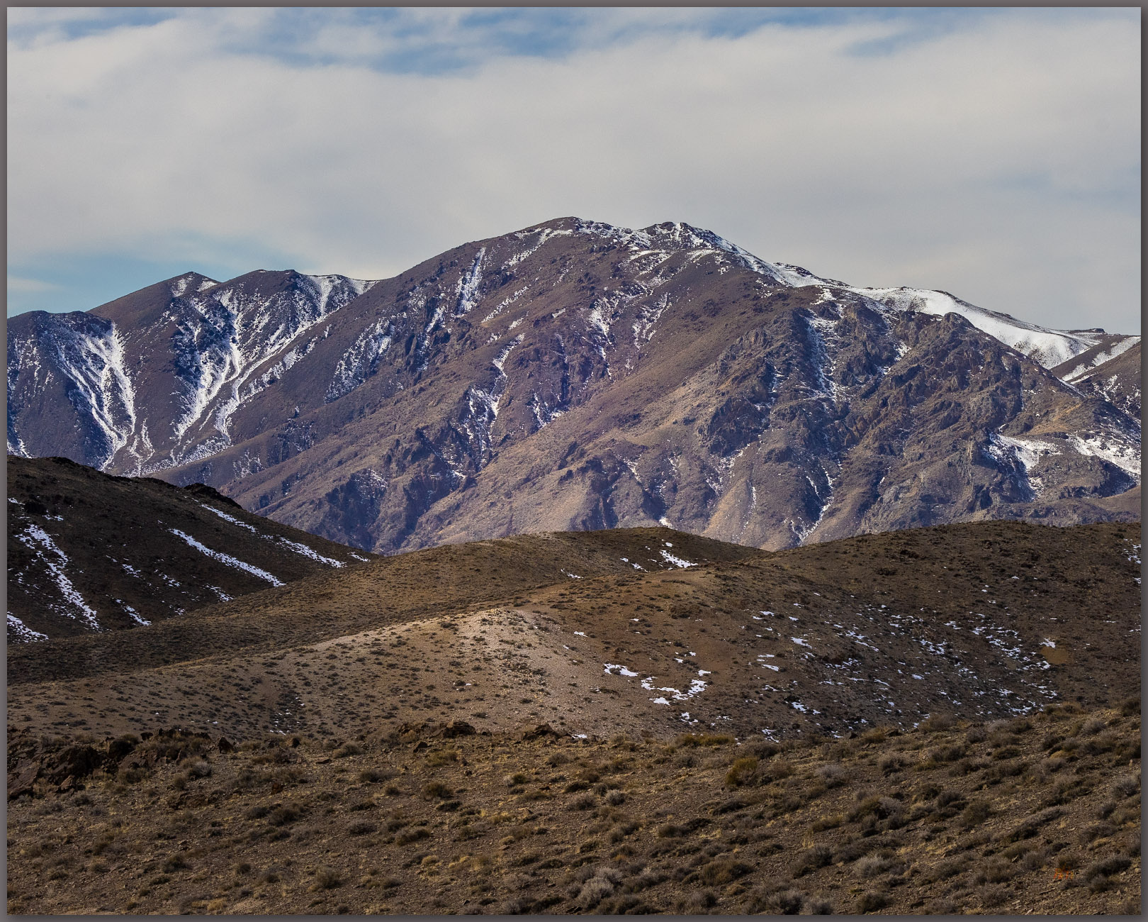
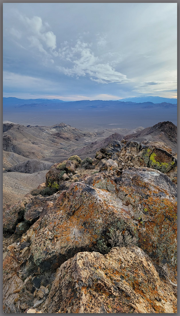
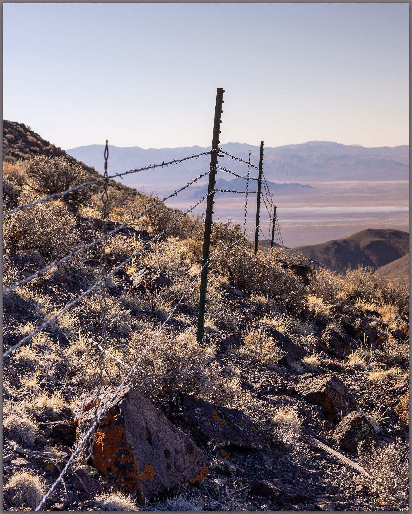
Above Quinn. Lichen-covered outcrop in the Sentinel Hills, Great Basin Desert, NV, USA (Map point #2)

The day’s light faded as it bounced among building clouds. I walked the rolling hills skirting the tops of canyons that cut into the volcanic rocks. Obsidian seems absent on the top of the tablelands, as I continue to map the geography of the volcanic glass around the caldera. It is not a demanding walk, the only challenge coming from two groups of wild horses that cannot decide if I should be there. They are at once curious and then immediately skittish, and I only want to stay out of harm’s way. The horses are momentarily fascinating and beautiful, bristling at my presence, but their numbers take a toll on the springs, and the local slopes are cut by numerous trails that radiate between water sources, most of which are now dry.

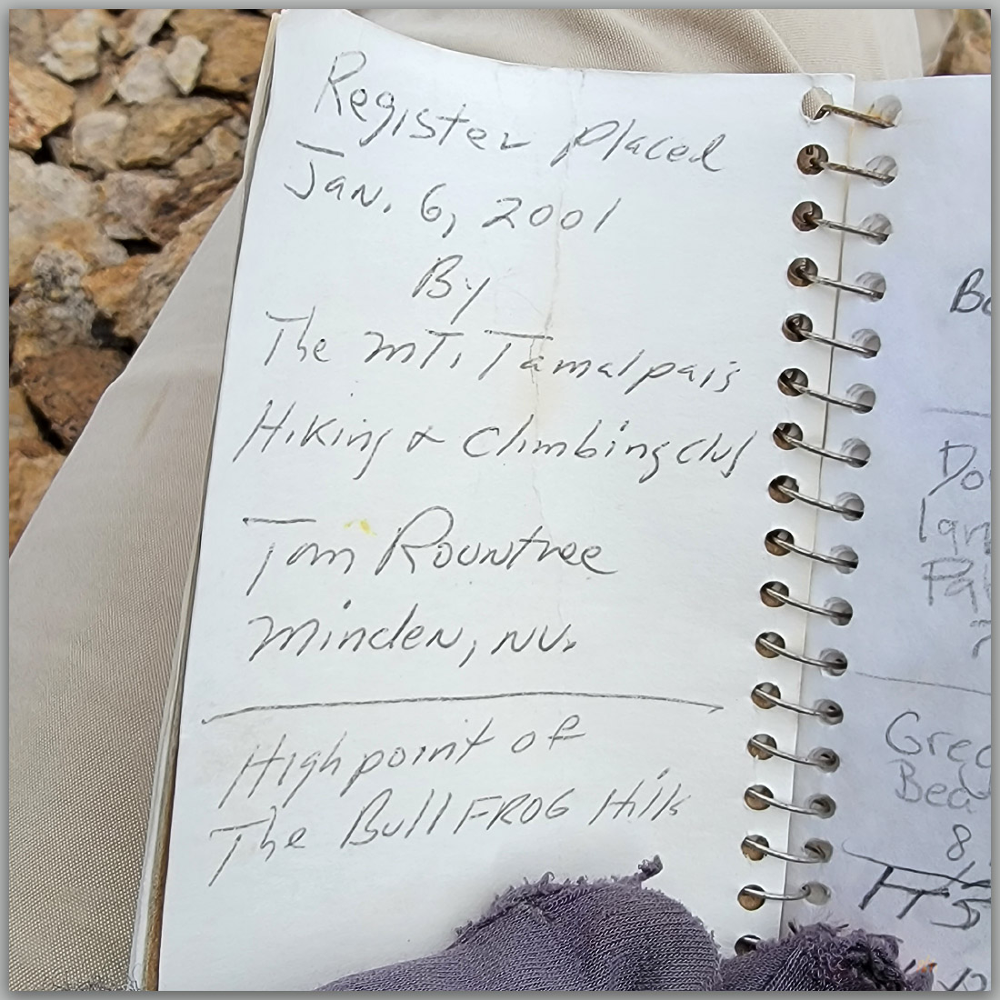
In a last gasp, the light rakes beneath the clouds as the sun sets about the time I gain the rimrock and talus that guard the summit. There is a small rock cairn and the usual quiet register. I had hoped for a dramatic sky highlighted above the setting sun, but the clouds dropped in a broad western curtain, and dark began to set in. I had several groups of horses to navigate through, so I did not wait any longer.

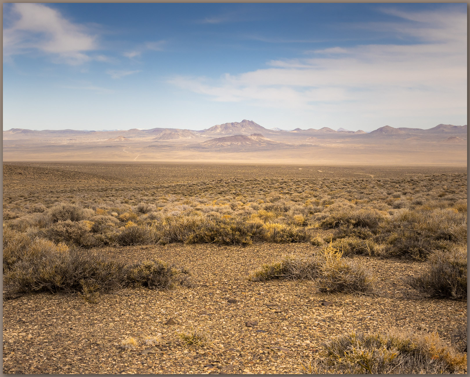
Overlap. Fading grass in the Sentinel Hills, Great Basin Desert, NV, USA

I had, of course, packed my headlamp, but I prefer not to use it unless completely necessary. I could hear the horses shuffling nearby, but they kept their distance as I made my way back to the truck to set up camp. Hoppin Peak is not dramatic in any way, but the walk is refreshing, and I feel much better for it. I learned something about the lavas of the Sentinel Hills, confirming that obsidian nodules of toolstone quality (or any really) are absent from the tops of the flows. I can expand my maps a bit more, adding this detail to the eastern margin of the caldera. I will continue my caldera excursion tomorrow after listening to the Chukar and coyotes; a Common Poorwill sings its haunting, lonely notes somewhere in the canyon below. A quiet close to a long day — the small hills almost always provide that.

Keep going.

Heads up. Hidden Sage Grouse on Ten Mile Creek, Sentinel Hills, Great Basin Desert, NV, USA
Hun in flight. Hungarian Partridge in the sagebrush of the Oregon Canyon Mountains, Great Basin Desert, NV, USA

Please respect the natural and cultural resources of our public lands.

#naturefirst #keepgoing

Nevada High Points #120 — Kamma Mountains

D. Craig Young · May 9, 2024 · 1 Comment

Pano play. Double fun on Rosebud overlooking the Black Rock Desert. Photo credit: Bryan Young.

Rosebud Peak

6496 ft (2070 m) – 2070 ft gain

2024.04.13

Rosebud Collection


Once in a while – a great while evidently, a trio of brothers share an adventure. It is my 60th birthday, an adventure of its own; and while a decadal birthday is event enough, this one found Bryan with Darren and me at the foot of Rosebud Peak, in the Kamma Mountains at the edge of the Black Rock Desert playa. This excursion was set up several months ago.

My brother Darren lives close by here in Nevada, and he joins me on various wanders among the state’s highpoints. Bryan, our middle brother, lives in Texas where he manages an amazing family and a less adventurous plastic bag factory, taking great responsibility and pleasure in both. It means, however, that his trails wander among the concrete and steel of Dallas, Texas, as Darren and I follow a somewhat more natural topography across Nevada. Bryan was missing out, even as his passions focused elsewhere. Eventually, Heather, my sister-in-law, intervened. It was time to get Bryan to the desert, to join the fraternal adventures. A plane ticket appeared, he got on a plane, and he dropped into the Great Basin. We then began a simple adventure seeking my 120th highpoint; it would be Bryan’s first in Nevada, while Darren, focusing on the experience, does not really count these things. As we drove toward the Black Rock, I realized we had never had an experience involving the three brothers. Never; at least not one that expanded on a bunch of kids playing along the fields and creeks of north Texas. I am happy those kids could once again gather in the low hills of the Black Rock Desert in northern Nevada.

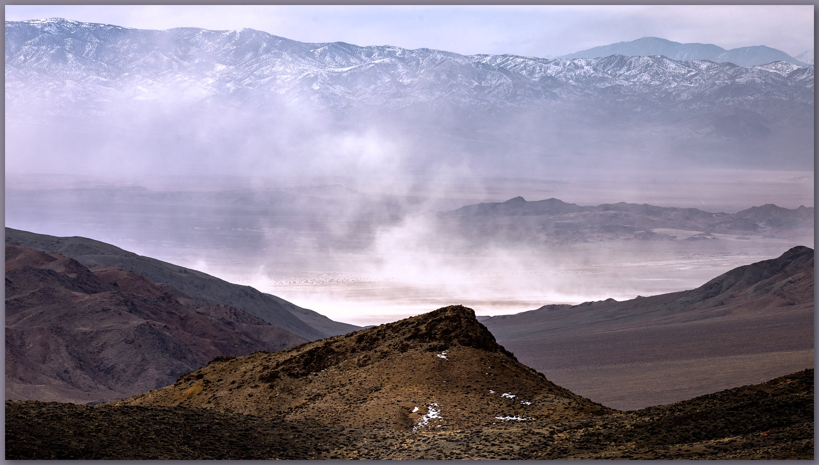
Dust wave. Desert dust lifting from the Black Rock playa, Black Rock Desert, NV, USA

Thunder. Wind. Dust. Obsidian. Miles of endless sky among shockingly green hills of the springtime desert. While I often rue the clear skies and sharp light of the desert – it would not be desert without it, my birthday was a gift of variability, giving us the experience of desert dynamics that make it memorable, whether you are here for the first or hundredth time.

Tracing obsidian. Planning a transect of Granite Springs Wash and Rabbithole Creek. Photo credit: Bryan Young
Incoming squalls. These squalls preceded a later rain. Photo credit: Bryan Young

Our drive took us along the puddled margin of the Black Rock playa, following the ‘high road’ toward Sulphur and Winnemucca, beyond. Blue skies turned dark as white dust rose to meet grey-black virga, an ill-formed haboob rolled toward the Jackson Range with churning dust devils leading the way. I had first thought of camping at the small playa of Wetweather Flat, but the name gave me second thoughts; if the clouds get organized, we might be wet soon. We had some time, however, so I led us on a few obsidian transects having seen reference to ‘obsidian’ in some archaeological notes written on a nearby mine project – I have spent some time mapping the Majuba and Seven Troughs toolstone sources but had been snowed out the last time I was in the area. We wandered among the dry washes of Granite Springs Wash and Rabbithole Creek where I had observed nodules previously. The obsidian is here in the gravel bedload, but most of the clasts are not of toolstone size.

Camp before the storm. Good drama at the end of the day. Photo credit: Bryan Young.
Camp in trees. Cottonwoods of the Rosebud Mine, Kamma Mountains, NV, USA

During our afternoon wandering, we found a campsite among cottonwoods of the historic Rosebud Mine. The storm reached us just as we set up our tents, unleashing a refreshing rain punctuated by flashes of lightning and rolling thunder. It was the full experience, and we stood exhilarated under my awning for the short downpour. Things dried quickly however, and the sun raked toward its setting horizon, streaming warm light in a haze of remnant dust. We created our tailgate dinner and got a nicely contained fire going. This gave us the relaxing time we had been waiting for, and we settled in for a long evening of conversation and thoughts of an early hike to Rosebud Peak which rose gradually to our northeast.

Desert green. Rosebud Canyon leading toward Rabbithole, Black Rock Desert, NV, USA
Rain arrives. Finding shelter from the brief downpour. Photo credit: Bryan Young.
Birthday dinner. Prepping dinner after the rains. Photo credit: Bryan Young.

Sunrise found us at the foot of a series of broad, gradually sloping pediments leading to a long series of rocky ridges bounded by steep, gravelly slopes. The pediments are old alluvial fans or long rocky steps beveled to gradual slopes by long periods of erosion; the ridges of altered volcanics jump from the beveled surfaces and rise in a long line toward the summit of Rosebud Peak. Below us, along the roadway, small alluvial fans push from small canyons delivering pulses of sediment to the generally dry, underfit drainage of Rosebud Canyon. The map of young landforms is obviously simple.

Laying back. Dissected pediment of the southern Kamma Mountains, Black Rock Desert, NV, USA
Rosebud slopes. Beveled pediments reach to inset alluvial fans of Rosebud Canyon, Black Rock Desert, NV, USA

I had chosen this relatively gradual walk knowing that Bryan was coming from the low-elevation cross-timber country of northern Texas, and it was his first outing in mountainous country in a long time. The Kamma Mountains are cut by mining roads, and our walk is generally easy with only a few steep sections. The hills are open with dots of juniper trees tucked into rilled alcoves where volcanic tuffs form small, dramatic outcrops. If the outcrops are small, our views are expansive. While the hills and valleys seem barren, there is a green blush spread across the springtime desert; it makes for yet another splendid walk even as the wind builds into the early day.

Camp breakfast. Getting ready for Rosebud Peak. Photo credit: Bryan Young.
A band of brothers. Heading out at sunrise, Rosebud Peak, Kamma Mountains, NV, USA. Photo credit: Bryan Young.
Lower slopes. Onto the beveled pediments below Rosebud Peak. Photo credit: Bryan Young. (Map point #1)
A good walk. Two miles of ridges and roads to the Rosebud Peak. Photo credit: Bryan Young. (Map point #2)

We summit in mid-morning, following a two-track road to the rounded summit. Although we are only at 6,500 feet, Rosebud Peak is prominent at the southeastern margin of the Black Rock Desert and affords an expansive view of ranges that I have climbed and several that I will soon visit. The snow-lined crags of King Lear Peak rise to the north; I reached that summit in 1994, half a life ago. That makes no sense.

Kings distance. King Lear’s throne rises in the Jackson Mountains, Black Rock Desert, NV, USA

Rosebud Collection

Our descent takes little time. , and we are soon back in camp preparing a well-deserved breakfast. As we clean things up our discussions turn to other mountains, especially the ones that at first seem uninviting or that are generally obscure when compared to the soaring summits requiring significant effort. The surprises are the ‘why’. I have repeated this often, and it is clear that this band of brothers understands. Rosebud Peak, almost chosen at random, has brought us together. We rallied and made it happen, coming from different directions to experience the subtlety of the little things. The prelude of dust and thunder set the stage for a relaxed morning of effort and conversation. Perfect.

Lost in conversation and the joy of unusual company, I did not spend time on photography, and I am surprised I came home rather empty-handed – I let the drama run its course, sharing the experience with my brothers. Many of the photos I share here are Bryan’s as he chronicled his adventure to Rosebud. Perfect, again.

Keep going.

Nevada High Points #119 – Resting Spring Range

D. Craig Young · April 7, 2024 · Leave a Comment


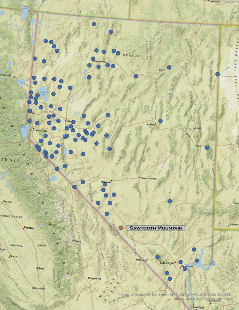
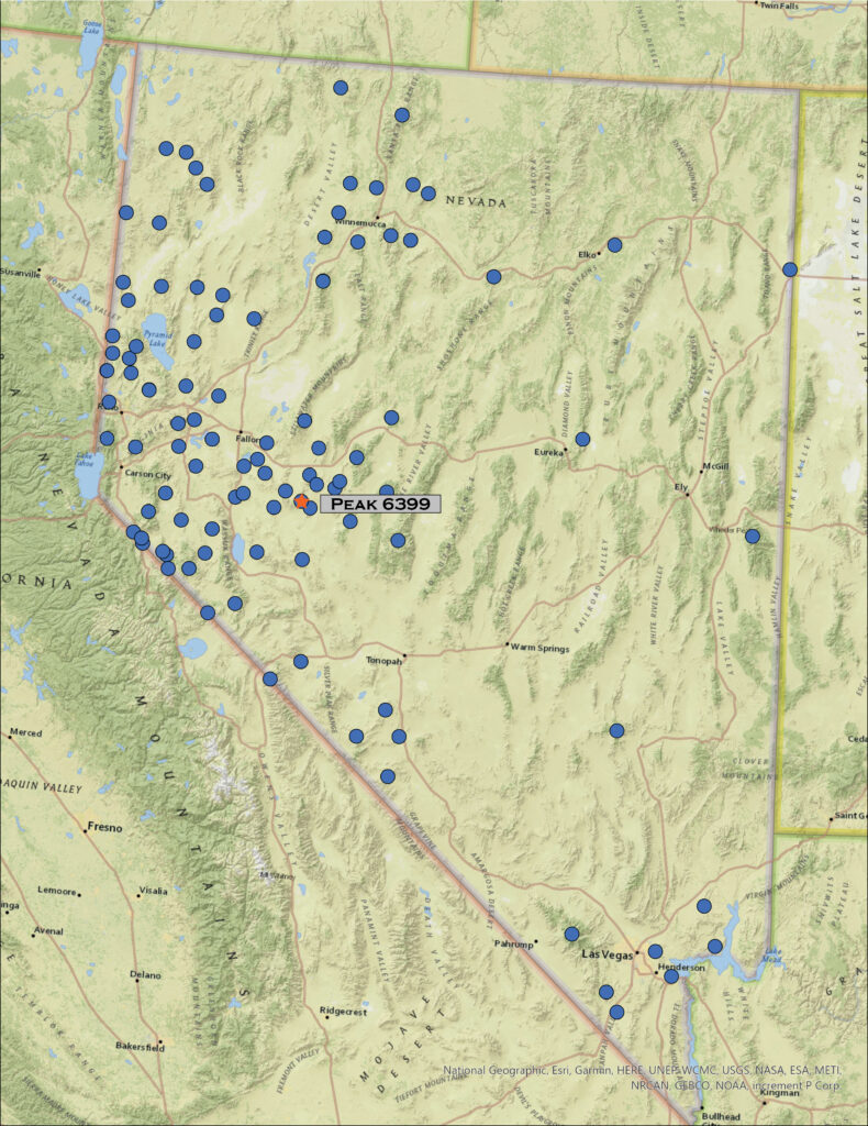
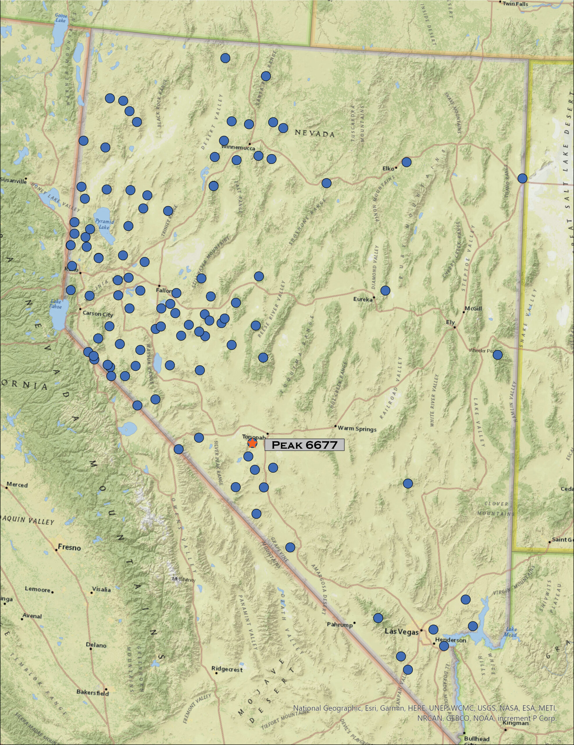
Map showing climbed high points with Resting Spring Range labeled as #119

Unnamed – Border Monument 105

3960 ft (1207 m) – 1530 ft gain

2024.03.10

Resting Spring Collection


I am back in the Mojave. In northern Nevada – in the sagebrush steppe of the Great Basin Desert – the transition to spring has brought a series of atmospheric rivers that vary from warm rains to several inches of new snow. Our water budget appreciates it, and the ski resorts are happy, but it lowers the potential for backcountry travel across the northern tier of the state. But late winter in the Mojave has a very different effect. The precipitation nourishes an ephemeral but amazing green, punctuated by blooms of wildflowers; the typically sharp and prickly landscape softens. Drawn by this ephemeral setting, like last month, I am once again in the Mojave.

Desert evening. Stewart Valley at the close of winter, Resting Spring Range, Mojave Desert, NV, USA (Map Point #1)

After exploring a few roads on the north side of the Resting Spring Range – most went nowhere or were badly washed out, I set camp on some desert pavement formed on small fans in low, hummocky foothills. The narrow mountain range rises above the Amargosa River with most of its mass in California and only a northern spur and expansive alluvial fans extending into Nevada. My target is the Nevada high point, marked by a small, ridge-line outcrop well below the prominence of Shadow Mountain, the range’s actual summit. I will head up there too.

But, first, I will turn the calendar back to yesterday. Desna and I visited the Nevada Museum of Art where there is a wonderful exhibit of Maynard Dixon paintings, poetry, and photographs created during his excursions to northern Nevada and eastern California (open until 7/28/2024). I mention this because first, I really enjoy so much of his work and, second, I think it important to look at art, especially landscape art, and to consider what I like about it. This might provide direction for my landscape photography. Dixon’s use of saturation and contrast, in color and in light, evokes my emotional connection to desert landscapes. His composition is typically minimal, and he has little hesitation in expressing the open sky, dotted with bright clouds, over stark shadows streaking across desert landforms.

Photographers, especially landscape photographers, often cringe at mid-day or high-contrast conditions, preferring the raking, red hues of sunrise and sunset, adding in dark, glowing clouds for dramatic impact. I love these too. I can, however, find challenge and growth in applying a touch of Dixon’s eye, maybe, to my photographic work – both in seeking and exposing compositions and in creative processing, as a painter might. Who knows? I may never be successful, but it got me thinking about its application. Oh, and third, I spent a lovely afternoon with Des.

Upheaval. Folds and fans in the hills of Stewart Valley, Resting Spring Range, Mojave Desert, NV, USA (Map Point #1)
Camp at dark. Foothills and pavements on the eastern margin of the Resting Spring Range, Mojave Desert, NV, USA

Back in the Resting Spring Range, after an evening exploring the pavements and hummocks around camp, I am up before first light, making coffee and collecting a few calories before setting out. I need to walk about three miles of alluvial fans before hitting a punchy slope to the Nevada high point. I go by headlamp, cresting a low hill where an almost complete darkness extends in front of me; the yawning space of the vast alluvial fans soaking all light, from the faint light of my headlamp to blackness to a very distant starry horizon. The night still feels close around me. It is a calm silence, until a Burrowing Owl calls from somewhere far ahead and below; her call a lonely reminder of the few critters that call this desert home. Again and then again, a quiet hoot-hoot is the only sound. I walk into the dark.

Shadow morning. Shadow Mountain at first light, Resting Spring Range, Mojave Desert, NV, USA
(Map Point #2)

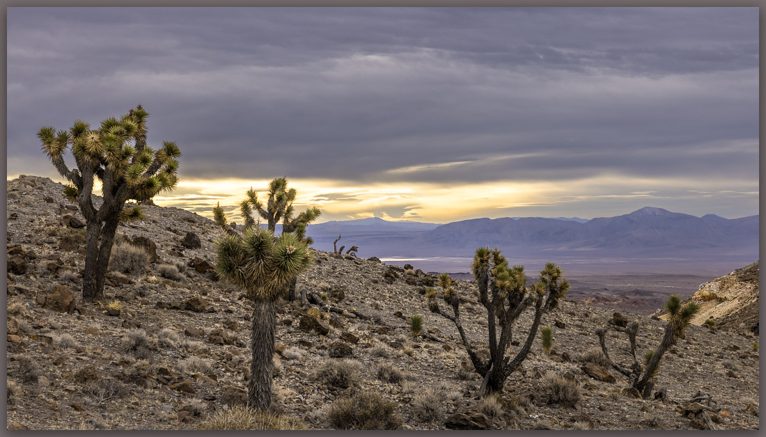
As the light grows, I am in the openness of the fans, moving between desert pavements with dark patination – old, stable fan surfaces – and incised, bouldery washes exposing light-colored alluvium disturbed only recently. The variegated surfaces alternate to reflect the temporal structure of the piedmont or bajada below the steep slopes of Shadow Mountain. A Black-throated Sparrow flits and sings among the creosote and saltbush. The beautiful, sing-song call of a Rock Wren echoes from boulders along rock levees and debris flows that choke the fan’s incised gullies. The morning is perfect. There is a pink in the sky that off-sets the dark fan surface, and newly green blooms of the desert compliment the yellow-brown of the mountain backdrop. Bright yellow highlights reach out from the growing wildflower bloom – Yellow Suncups here; I am early for the ‘super-bloom,’ but it is definitely building.

Rocky, talus-screed slopes lead to the Nevada high point at 3960’ above sea-level; I have climbed just over 1500 feet above my camp. Marked by a cairn on an otherwise non-descript ridge, the highpoint is a great viewpoint, nonetheless. Shadow Mountain looms to the south and Amargosa Valley drops precipitously to the west. The sun has risen behind me, and the wind is picking up. I cross the state border in a crease where the ridge drops from the Nevada side, I then begin a good ridge-walk toward the summit, 1000 feet or so above me.

Amargosa distance. Playa and fine-grained alluvium at a constriction of the Amargosa River from the Resting Spring Range, Mojave Desert, NV, USA (Map Point #3)

It is a nice climb with great views in every direction. While the summit of Shadow Mountain does not reach above 5000 feet, the Resting Spring Range remains a prominent landmark visible in all directions. I am happy to be on the summit and realizing I have been looking at this peak for many years, and can now enjoy it from a different perspective – it is always satisfying to be driving or flying, and while looking up (or down) at a lonely spot, knowing that I have visited and experienced it for a short time.

Black-throated Sparrow. Resting Spring Range, Mojave Desert, NV, USA

I work my way down, visually mapping the variegated alluvial fans with their shaded pavements of various ages. I can easily identify four surface ages based on the maturity of desert pavement. Dark surfaces with seemingly uniform pattern of rocks, some that fit together like gravelly puzzle pieces, are generally old. Very old; it takes hundreds of thousands of years for the weathering to create the distinct, intricate patterning. Younger surfaces will be lighter colored, with rougher surfaces, seemingly random rock patterning, and even evidence of recent flooding. And several intervening surfaces along a continuum of very old to, well, practically yesterday. From a distance, the patterns can be clear, and I often map landform age based on aerial imagery that resolves the temporal relationships nicely.

Creosote crunch. An early glow on the sparse vegetation of relic fans of the Resting Spring Range, Mojave Desert, NV, USA (Map Point #3)

This is important because archaeological sites, their age and preservation, may be patterned in close relationship that age of a landform or its surface. Sites of any age may occupy the oldest pavements – let us assume there is some clustering of plant, animal, or water resources that might have led people to this location. Because that armored surface is as stable as it is old, it is very unlikely to hold buried archaeology. So, the information you get from the distribution of artifacts on the surface is the only information you are going to get.

As we move to surfaces that have formed and stabilized in the Holocene (say, the last 12,000 years or so), we may start to see some patterning among the surfaces, with some interesting changes over time; the relative age of fan surfaces may provide the first clues in looking for such patterning. Very young fans (with evident debris flows and tumbled cobbles and boulders) suggest that most sites may have been wiped out, and while you may find some displaced artifacts, there is little detailed information in such a disturbed setting. The patterns can shift rapidly as one moves across such an ancient and complex fan.

Quaternary landforms of northern section of Resting Spring Range, Mojave Desert, NV, USA

I recognized four temporal surfaces on the bajada (i.e., coalesced fans) expanding from the canyons on the northeastern side of the Resting Spring Range. On the map, Qa1 highlights the oldest surface, marked by darkly patinated and strongly developed pavement. Younger fans cut through the Qa1, leaving its ancient surface abandoned to continued slow, constant weathering. The gradient of surfaces from Qa2 to Qa4 reflects younger landforms and a general increase in recent erosion and/or deposition. The Qa4 is where the occasional floods happen or have happened relatively recently; one can hardly predict the next flooding disturbance to spread across the fans as the flashy flows find their paths basinward. A spot may be stable for centuries, until it is not.

As usual, I focus on the younger landforms (not rocks) and the processes that build the environments and habitats of today – that is why my maps only highlight the young, active landforms. The older rocks, their structure, composition, etc., play a role, but I want to document and understand the work that wind and water can do now that the mountains and hills are in their place, at the scale of the Holocene, at least. That is geomorphology, in a nutshell.

Resting Spring Collection

I reach camp happily after seven or so hours of walking out and back. It was a special and relaxing day. Unlike last month in the Last Change Range, I was well-provisioned, and my gear worked flawlessly (I did film more than I anticipated, and I should have brought my better audio set-up – the wind noise in my YouTube post embarrasses me). Although it is often better to focus on one activity during an excursion – Am I here to climb, do photography, map landforms, or make geomorphology videos? – I took the time, this time, to do a bit of everything during my walk. It is good to get a complete outing like this occasionally. This was a great one.

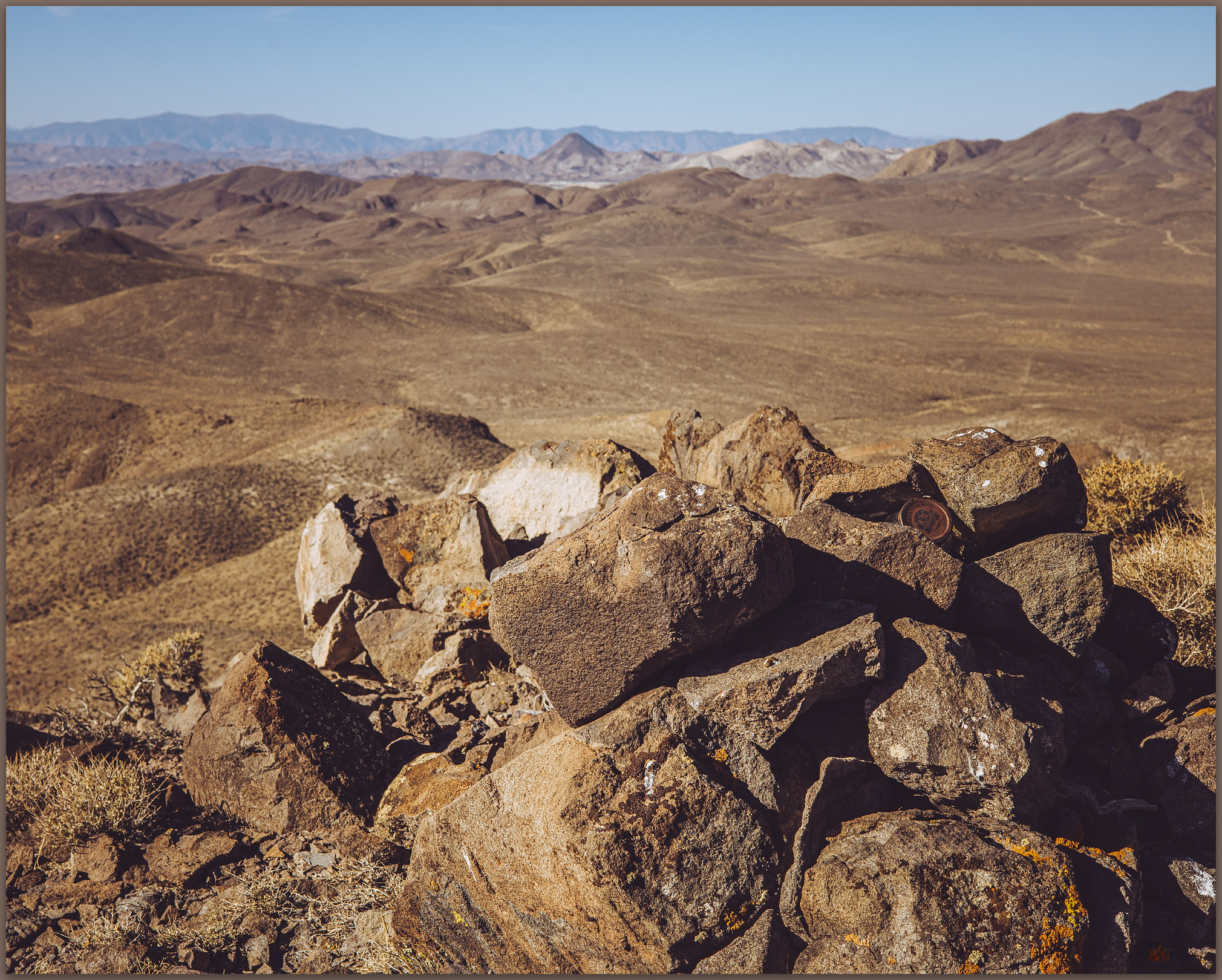
Register #119. Resting Spring Range, Mojave Desert, NV, USA

I continue this journey, after packing up my little camp, with a photographic excursion into Death Valley, and then on to more focused fieldwork in the landforms of the ancient Mojave River further south. It has begun well.

Keep going.
Please respect the natural and cultural resources of our public lands.

#naturefirst #keepgoing

Nevada High Points #118 – Last Chance Range

D. Craig Young · March 23, 2024 · 2 Comments

Coalescent wash. Variegated landscape of Devils Hole Wash from the Last Chance Range, Mojave Desert, NV, USA

Unnamed Peak

4985 ft – 1519 m (2257 ft gain)

2024.02.11

Last Chance Image Collection


Keeping a disciplined calendar is important to me. It truly does keep things from happening all at once, and it provides motivation for keeping to goals and practices that I set for myself. It also acts as a form of communication and agreement between home, work, projects, and travel – these are so intertwined in my personality and pursuits that I can think of no other way of living. I am not a slave to the calendar, and I commonly make changes – and it is by no means a daily list, only a practical target with emphasis on keeping to high point and geography pursuits. Setting aside Second Friday gives momentum to the aspirations of finishing the list, even in its general impossibility. Yet sometimes the calendar gets pushed around – in February the push came in the form of a series of atmospheric rivers that derail my projects in southern California.

Hearts of cactus. Color on the limestone slope of the Last Chance Range, Mojave Desert, NV, USA

I have been trying to schedule an exploratory excavation project – contracted by Caltrans – in the southern Sierra, near Lake Isabella, for the past month, but the rain and snow kept coming. Finally, the forecast hinted we would get a break, so we pack up and head south. If everything goes well, I will be back into southern Nevada on Second Friday, so I keep in mind several ranges around the Amargosa Desert and Ash Meadows (northwest of Pahrump, NV).

Things do not go well. The storm sent a last-gasp arm of heavy precipitation into southern California, sending landslides over highways and bringing snow to the hills of the southern Sierra. I am stuck in a hotel room. We eventually get our work done over a couple extra days, and I drive into the desert, traversing through Death Valley and into the Amargosa Desert on Saturday night. The Amargosa River is in flood mode inundating a long stretch of the Ash Meadows Road east of Death Valley Junction; I ford it slowly only to find ‘road closed’ signs at the Nevada line. But they suggest the road closure is now behind me, that is, at the river crossing I just experienced. The signs face toward the west-bound traffic, but I am going east on a road that is high and dry ahead of me. I find my Ash camp in a gravel quarry at the foot of the Devils Hole Mountains east of the river – I have camped here a few times when gouging around the Amargosa River. The ground is wet but holds firm, so I set camp in a stiff breeze, finally making dinner in the cool and quiet dark – so much nicer than the hotel of the past few nights.

Rock wash. Proximal fan segment, northern Last Chance Range, Mojave Desert, NV, USA (Map Point #1)

Sunday morning opens bright with frost and cold with a north wind behind the recent storm. Coffee in hand, I decide to head into the Last Chance Range above Pahrump. I can make this a quick excursion into the limestone hills and then hit the long drive home. I park at the base of a ridge that seems to lead toward rocky shelves below the prominent summit, maybe 1,700 feet above me. I am not expecting compelling photographs under the bright, blue-sky conditions, so I  focus on simply enjoying the walk.

I soon realize that I am not at all prepared for the terrain of the Last Chance Range. First, I made the mistake of thinking this would be quick. I have a liter of water and virtually no extra gear; the battery is dead in my Garmin beacon. Second, I am not experienced in the stepped limestone crags of southern Nevada, with sometimes puzzling route-finding where small talus-filled chutes provide access to higher ledges, and ledges end suddenly at steep drops and rocky falls. I consider turning back; maybe I can just get to the next saddle, check the view, and try another time. But no, I am here today, and it looks interesting ahead; I should be fine. It was not a smart decision, but I put it in my pocket for now and turn onto a game trail traversing a ledge that seems to lead toward the final boulder-filled ravines below the summit.

Eagle’s window. Last Chance Range, Mojave Desert, NV, USA (Map Point #2)

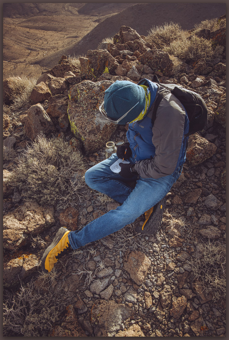
The ledge is fascinating. Limestone and sandstone cliffs rise above me as I walk along uplifted and tilted beds and beaches of a shallow sea now rising into the desert sky. Sleeping circles of big horn sheep are tucked here and there. Jumping in time, I find a woodrat midden packed into a dry alcove at the cliff bottom. These middens hold valuable pollen and plant information, stored by the careful and complete collection activities of the ‘packrat’. These can be thousands of years old, but this one looks like it might be hundreds at most; still, if the local vegetation changes, a recent record is kept in these little indurated nests. I mark the locality and move on.

Neotoma midden. Last Chance Range, Mojave Desert, NV, USA (Map Point #3)
Register. Summit book of the Last Chance Range, Mojave Desert, NV, USA

I work my way into a steep but accessible ravine cut into the black limestone of the Last Change summit block. Ah ha, a couple cairns suggest that this might be a common route to the top. I grab the ravine wall in a couple places, but it is easy-going over a last few steps. Like walking onto a narrow balcony, I soon step into a breeze driven upward from the vast expanse of the valleys below. I am bounded by Mount Charleston in the Spring Mountains to the east and the prominent Telescope Peak above Death Valley to the west, both blanketed in new snow. A worthy effort, even without the best planning.

Alluvial fans of western front of Last Chance Range. Qa1: oldest (Pleistocene); Qa2: oldish (Late Pleistocene to Early Holocene); Qa3: recent (Holocene to modern). Stars correspond to map points in image captions.

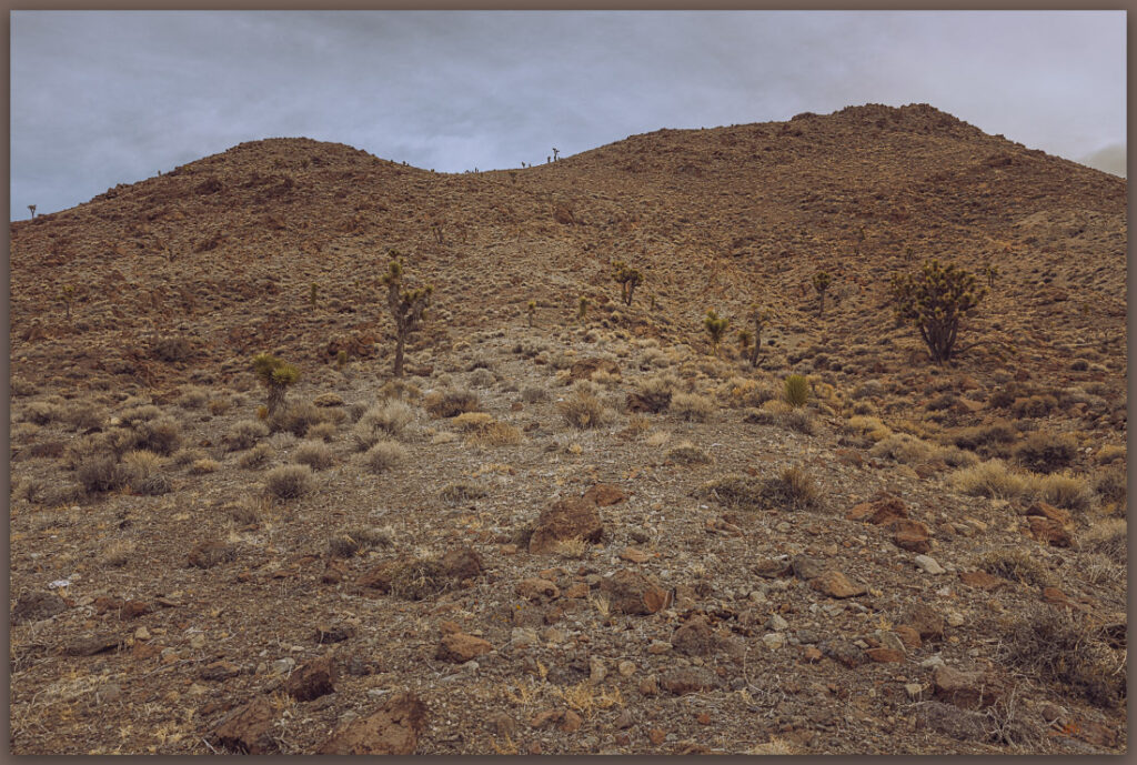
I choose a longer descent following more gradual slopes to the west, prudent when running dry as I am now – missteps may be more likely on the steeper and varied traces of the ledges of my route up. This takes a while, but over a couple miles I cross a nice section of variegated alluvial fan surfaces. The surface changes revealing clues to the age of the alluvial landforms and the soils forming on them. Color changes are abrupt and clear, like someone has drawn a geological map on the ground. Gullies show ancient soils of flaggy carbonate on stained boulders of debris flows and flood levees, the adjacent surfaces red with oxidation and dotted with turbated carbonate gravels. These give way to fine-grained, grey-colored, and recent fans and washes, where floods of the Holocene and maybe last year (!) pushed basinward from the steep, western slopes of the Last Chance Range.

Fan relic and wash. Medial fan segments along Devils Hole Wash, Mojave Desert, NV, USA (Map Point #4)
Temporal change. Variation in the alluvium on the fans below the Last Chance Range, Mojave Desert, NV, USA (Map Point #5)

Last Chance Image Collection

I am back at my truck with many hours of extra-time added to complete the loop. I will have echoes of this excursion for a few days – especially because I now have the muscular stasis of a long drive home, but it is worth it, as usual. I will note my poor planning and resolve to not to make such silly errors on future climbs; I know better (I think). It is good to be in this corner of the Mojave Desert in the closing of winter, and I suspect I will be back a few times in the coming months.

Keep going.
Click here to Subscribe!

Please respect the natural and cultural resources of our public lands.

#naturefirst #keepgoing

Nevada High Points #117 – Monitor Hills

D. Craig Young · January 23, 2024 · 1 Comment

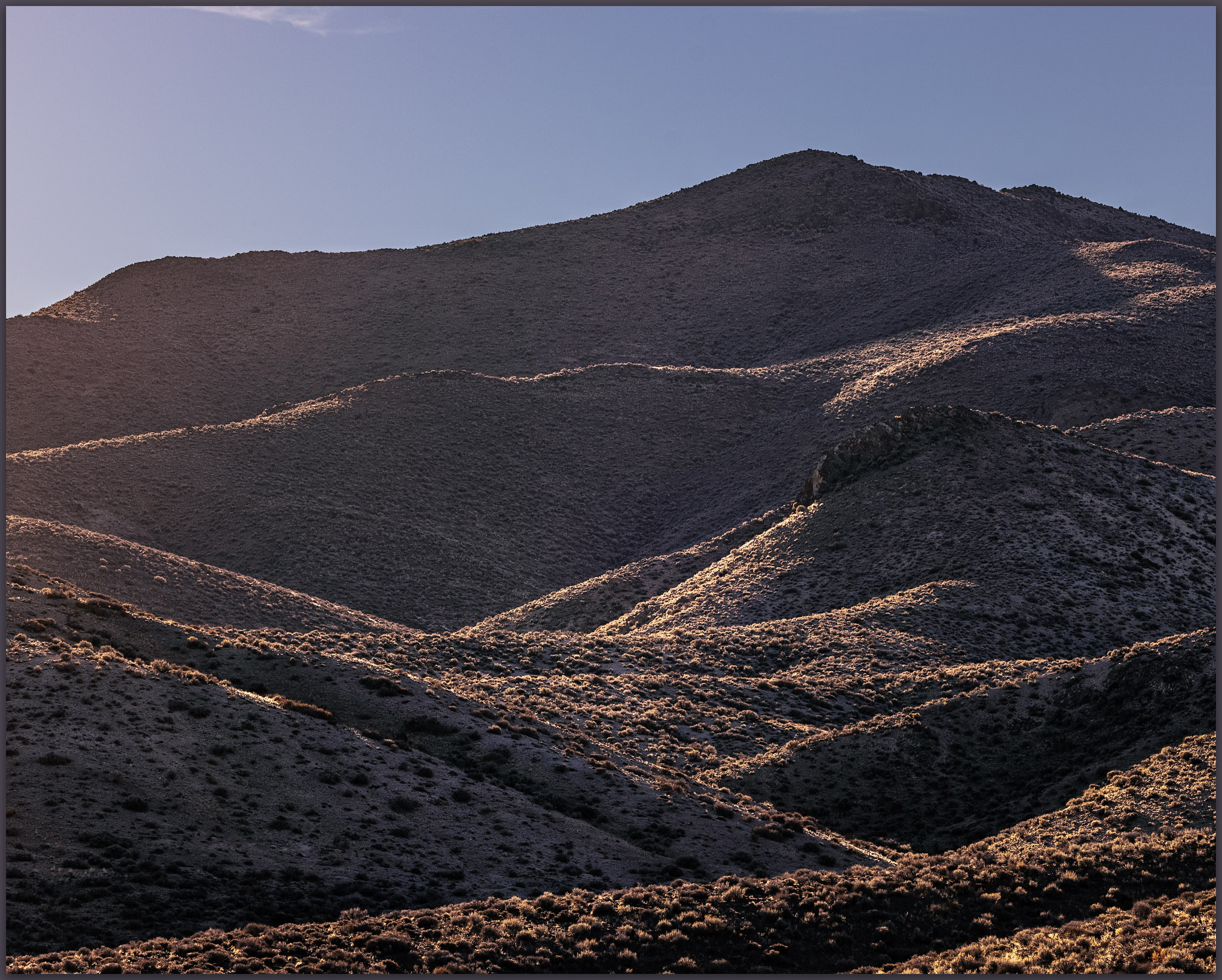
Ragged symmetry. The eroded landscape of the southern Monitor Range from the Monitor Hills, Great Basin Desert, NV, USA

Monitor Peak

6374 ft (1943 m) – 1030 ft gain

2024.01.24

Monitor Hills Collection


A missile, about 10 feet off the ground, marked our turn. I have driven many times past this lonely missile mounted on a pole next to Highway 6 east of Tonopah, Nevada, always wanting to take the turn and head south. There is a secured gate several miles further, but we were headed to the Monitor Hills, and not this secluded entrance to the Nevada Test and Training Range. Clear skies preceded us, and yet we had been driving through an early morning that varied between fog, rain, and snow. The weather followed closely, overtaking us as we parked at the foot of the small range.

Setting in. A snowy fog follows our approach, Monitor Hills, Great Basin Desert, NV, USA

Monitor Peak is a nice, isolated hill with a lava-capped summit on a foundation of eruptive tuffs and relict fans that eroded from an ancient mountain range that this younger volcano pushed through million years ago. However, I had to mention the missile for a bit of excitement, because Darren and I, while having a good, snowy walk, reached the high point after a short, simple walk up a small canyon and quick traverse to the rolling summit. It started snowing as we started walking. I have hiked so many high points and have rarely had an inclement adventure on any of them, though I do not plan according to the forecasts – I would like an adventure or two with some dramatic skies to photograph. In the Monitor Hills, however, we had no views from the summit, while the snow fell gently as fluffy flakes falling slowly through a misty fog. It was a pleasure, but there is not much of a story to tell – the old missile looks as aggressive as any aerial weapon, but it is rusty and inert, of course, and basically a contractor’s sign for work on the test site.

Tuffs. Cenozoic volcanic rocks of the Monitor Hills, Great Basin Desert, NV, USA
Easy summit. Darren approaches the high point, Monitor Hills, Great Basin Desert, NV, USA

We walked across the tuffs and flows through a thin veneer of last week’s snow. Today’s precipitation would not amount to much. Bunch grasses poke through a sandy mantle, while shadscale and other small shrubs grasp to the shallow desert soil, here and there. Ground squirrels and probably a few kangaroo rats track the snow, burrow to burrow. It looks like tracks of horned larks cluster around some of the larger bushes, but I am not really sure what species might have left them, just guessing at the usual suspects given all seem to be hunkered down elsewhere.

Golds of winter. Monitor Hills, Great Basin Desert, NV, USA

Near the base of the hills, a series of recent alluvial fans forms as sediment is intermittently eroded from the short canyons cut through relic slopes of the uplifted hills. I can map these based on cross-cutting relationships where younger fans overlap older deposits. Although we noticed minor changes early on our walk, before we reached the sand-covered tuffs and conglomerates, I mapped the young fans later using aerial imagery of Google Earth.

The fans and active drainages, the local alluvial system, is number 1 to 3, oldest to youngest; Qa is a common label for Quaternary alluvium, so Qa1, Qa2, and Qa3 — older fans to young fans and the active washes. I could be more or less detailed depending on the questions I might be asking or patterns I want to illustrate. Also, given that the Quaternary is basically the past 2.2 or so million years — that is a long time, including both the Pleistocene and Holocene (and maybe the Anthropocene), I typically stick with this labeling even though I am primarily focused on the Latest Pleistocene, from the last couple ice ages to the present – less than 5% of the actual Quaternary – for mapping purposes. This is the time when processes driven by climate, tectonics, and gravity established the backdrop and influencing the formation of the region’s archaeological record.

These are the silly things I think about, while trying to take a few pictures and walking in the snow. Where nothing moves but slowly falling snowflakes.

Monitor Hills Collection

And nothing moves on the road, it is only us and the snow – the snow that vanishes as we return to the truck. One intense rain squall and the skies break to scudding clouds and occasional glimpses of distant sky. The wind replaces everything – it is a long drive home. My curiosity about the road marked by the missile sated, I can look forward to another high point and, maybe, more interesting weather, like today, when the walk is easy and landscape is quiet.

Keep going.
Click to Subscribe

Please respect the natural and cultural resources of our public lands.

#naturefirst #keepgoing

  • « Go to Previous Page
  • Page 1
  • Page 2
  • Page 3
  • Page 4
  • Page 5
  • Interim pages omitted …
  • Page 12
  • Go to Next Page »

Trail Option

Copyright © 2026 · Monochrome Pro on Genesis Framework · WordPress · Log in

  • Contact TrailOption
  • Substack
  • Waypoints Bibliography
  • Young Archives