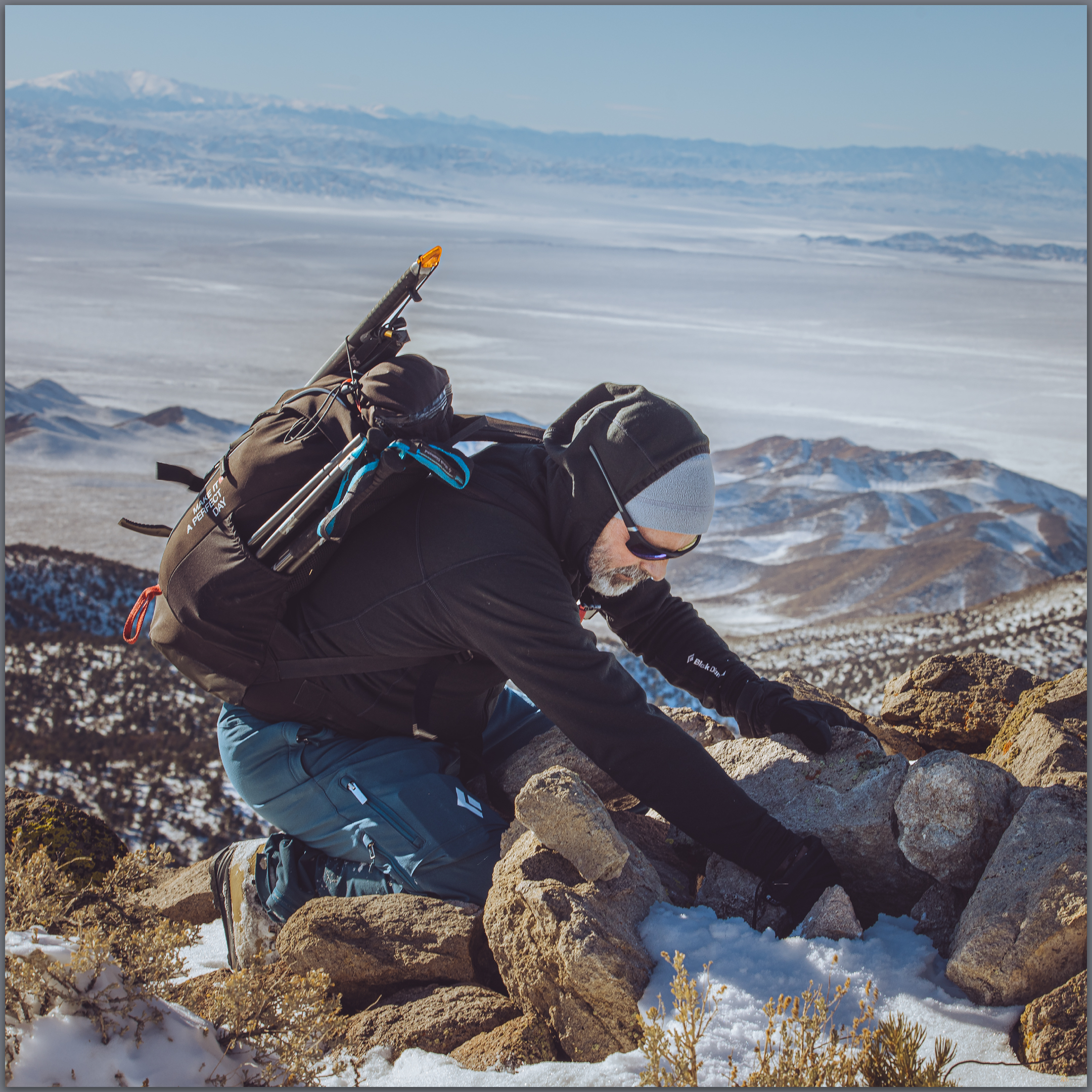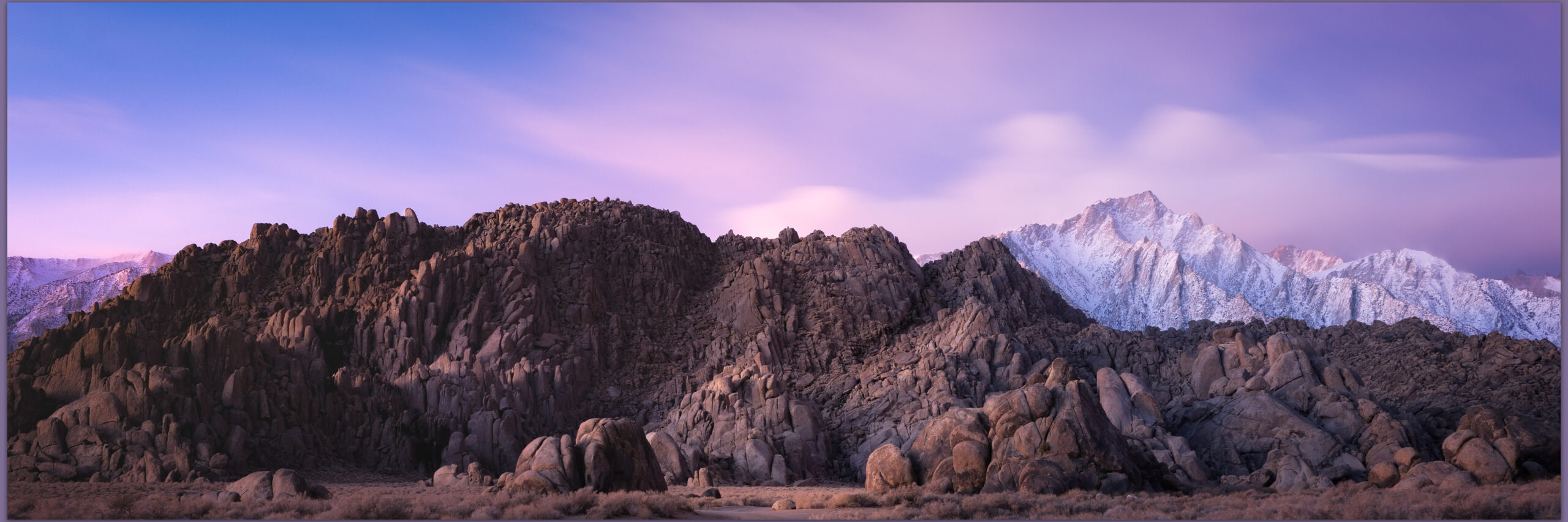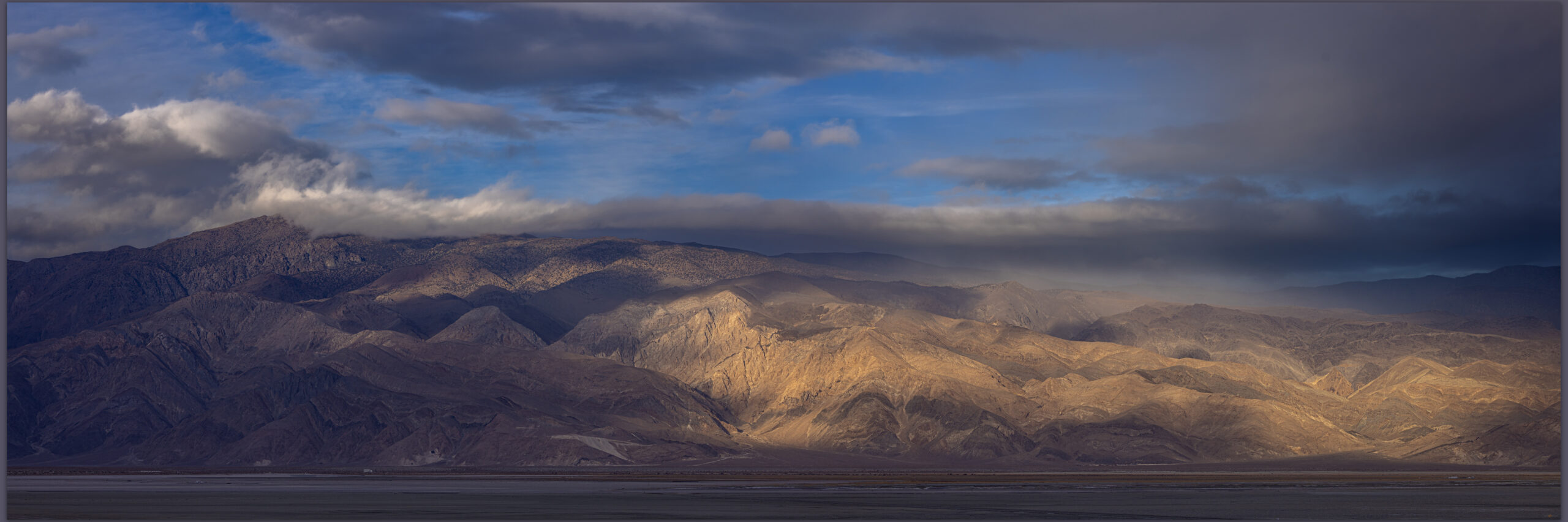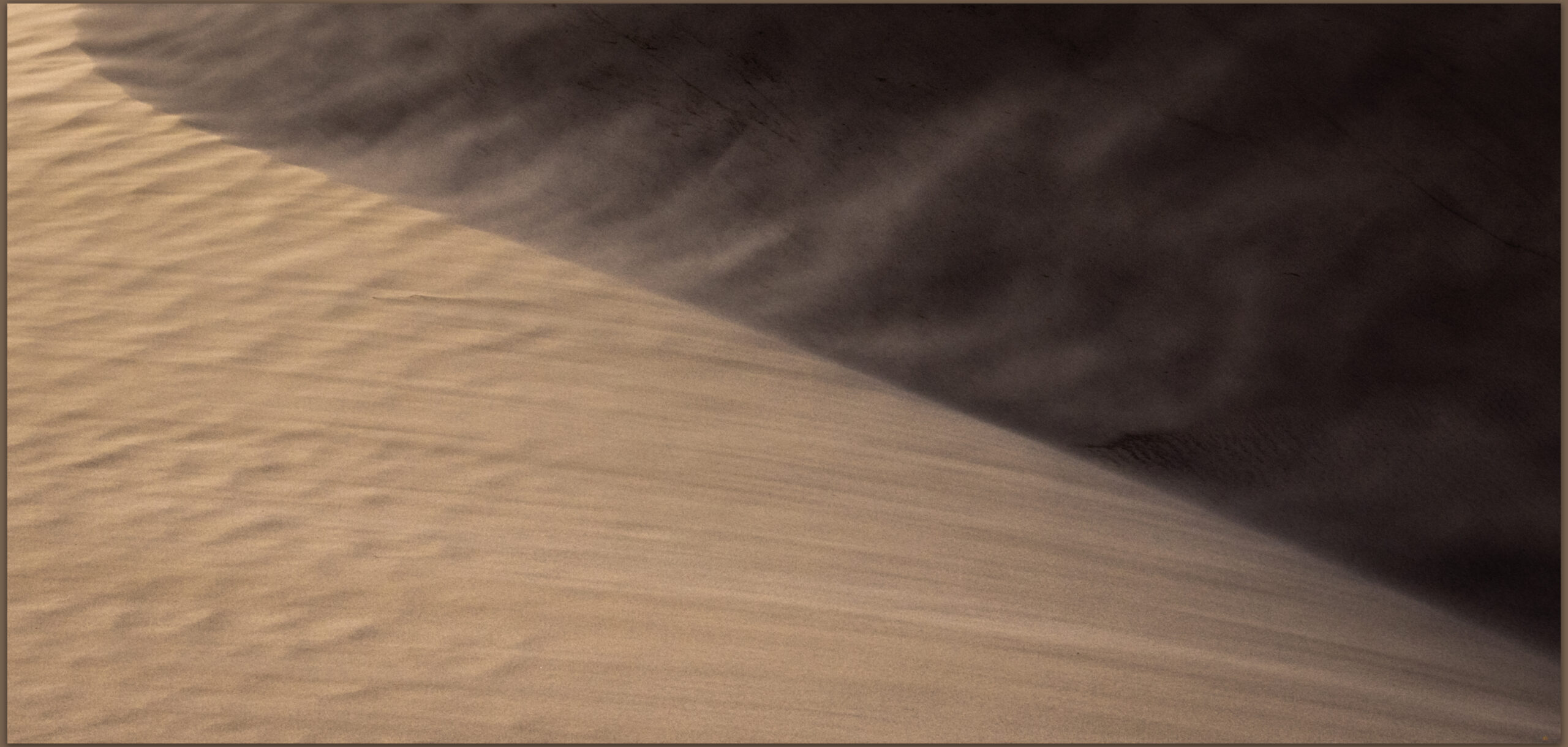
• Skip to primary navigation
  • Skip to main content

Trail Option

A personal geography of landscape and place, art and geo-science.

  • Home
  • TrailOption Blog
  • About
  • Contact TrailOption
  • Subscribe!
  • Lost Journals
  • Show Search
Hide Search

D. Craig Young

All in a day: Totality 2024

D. Craig Young · August 28, 2024 · 6 Comments

For unknown reasons in 2017, I decided to skip traveling the short distance – well within my ‘easy’ travel territory – to middle Oregon for the most recent total eclipse to intersect the lower 48 of the somewhat United States. I heard great things about the experience soon after. I knew I had made a mistake, and I would not make that mistake twice.

Watching plasma. Totality 2024, Arkansas, USA.

But how to plan for the midwestern arc of totality, in between fieldwork and work in general? I have a brother in Allen, Texas, just outside totality’s path, and he had recently planned a trip to Nevada to join in a high point excursion. He was coming here for the weekend following the eclipse – my travel calendar was shrinking. Complicating things were media reports of anticipated chaos and economic opportunity – not mutually exclusive things – given the extra pressure on roads, lodging, dining, restrooms, and eye protection due to the humanity that would descend on local communities. It was going to be a mess; governors premeditated various states of emergency to fund signage and overtime for law enforcement and septic companies.

There is always a lot of conversation, around the time of any eclipse, about how supposedly primitive societies might have responded to a suddenly darkened daytime sky. Any prehistoric response, say, founding a new religion or something, certainly paled against the silly panic, angst, and warnings that poured from media outlets regarding the upcoming event – all of which had little to do with a few minutes of darkness. A sign of the times, but it made me reconsider, briefly.

I decided to make it interesting. I would forego lodging and sleep, like any real photographer. I booked a flight leaving Reno at midnight; I landed in Dallas just before sunrise on the morning of the eclipse (April 8th) – I would be on a return flight later tonight. Bryan, my brother, picked me up, and we drove toward east TX and the path of totality. There were clouds around, but the sky looked promising. We found breakfast in Paris (TX, of course) where all the servers sported shirts and caps commemorating “Totality 2024!”. It may have been slightly more crowded than your typical Monday morning, but most folks seemed to be locals. It was clear that many businesses, along with a few opportunistic entrepreneurs, had received the news of and planned for the coming throng.

We drove on, pretty much on our own. The sky thickened as we reached the path of totality; the forecast and actual clouds in all likelihood explaining our loneliness. We consulted satellite imagery to find clear skies in Oklahoma. Left turn, mate.

Bryan guides us over the Red River, the border between the states of Texas and Oklahoma. Although the river is mostly dry today, memories flood in. This is not a random drive in unknown lands. You see, I grew up near here and basically learned to drive and, more importantly, navigate on roads just like this. I got drunk for the first time on backroads that intersect this highway, buried my truck in the Red River floodplain (not drunk), chased hot air balloons, and delivered John Deere tractors (and retrieved them for repair) driving between the small ranches and farms of northeastern Texas counties built on one-mile, checkerboard squares. The air is redolent of experiences of my 20-year-old self, and, of course, we are driving; I have not outgrown any of this.

Chasing bits of blue sky in Oklahoma, we turn into a ‘Bigfoot’ gas station and store. There are lines of outhouses, but we are the only ones here. We get a coffee and buy a ‘Totality 2024!’ sticker from a pile on the counter. Everyone is friendly and hopeful, but the clouds are building. South it is, back across the river and deeper into Texas. We eventually pierce a bubble of clear sky, and we encounter our first cluster of eclipse hunters with a smattering of tripods, cameras, and scopes. Thinking they must know what they are doing, we turn off the highway to find a lonely cemetery with an attractive and generally open cluster of trees. Land access is basically non-existent – not the vast public lands I thrive in, so small parks and cemeteries seemed our best bet. I set up two cameras, one for a time-lapse through the trees and another with the telephoto for the iconic eclipse shot. The eclipse is high in the sky here in Texas (not something I considered at length), so getting imagery that might include some landscape context is impossible. The tree canopy will have to do.

Partial. Concerning clouds as totality approaches, Arkansas, USA

As I took some shots for composition and focus, I could see through the viewfinder that the clouds were encroaching on us yet again. The sun disappeared soon after. Spit. Satellite imagery showed clear skies in Arkansas. Why not? North once again, mate. Now we might be driving too fast, just saying.

Perfection corner. A random stop at a perfect time, Arkansas, USA (Photo: Bryan Young)

We retrace a few roads and turn east, crossing two state borders in quick succession. We take a random road into a lonely, hardscrabble townsite in the Arkansas woods – a few houses and as many crumbling cars and roaming dogs as you could count. Rolling onto some dirt tracks once the houses and dogs had thinned out, I could see ‘first contact’ as the moon began its perfect transit of the sun. I immediately remembered an empty field on the opposite side of town with an open bend in the road. That would have to be it; Bryan spun us around, we waved at the occupants of a car from Florida – first car in a while, and we avoided the town dogs to get to the open field.

Ready. Canon R5 with a RF 100-500mm and solar filter, Arkansas, USA

I was set up as soon as we stopped rolling. A lonely chimney stood in front of us, a relic of a former homestead. The clouds seemed thin enough and, maybe, becoming thinner. After all our recent hurry, we now waited. I was set with my 100-500mm lens and solar filter, and could only focus on the iconic totality image, given that the sun was partially eclipsed already, and while I liked the landscape in front of me, the sun was high above all that. We were alone with the songbirds of the adjacent woodland. Not another person or car anywhere in sight, and this was a numbered and paved roadway. It is coming.

First glimpse. Capturing totality for the first time, Totality 2024, Arkansas, USA

You have seen pictures of totality, and you will see a few more here. As the day of every eclipse approaches – partial, annular, or total, the images saturate our social media and news venues. The dark round disc and its corona, maybe a ‘diamond ring’, are burned into our retinas as if we had forgotten our protective glasses during the real thing. You know what the eclipse is going to look like, but still… Totality is here.

Shadow’s retreat. The muted light leading and following totality, Arkansas, USA

The build-up culminates in an otherworldly tint as our surroundings become muted and the contrast of bright sun and shadow is lost. And then suddenly – especially if this is your first totality – the sun simply bursts into brilliant corona and the black hole, where the sun was seconds ago, pulls your sight into its core. The feeling only lasts a few seconds as your mind grapples to process what it is seeing – it almost makes no sense; but then logic returns to the spectacle that it is, awesome and fun, maybe, truly once-in-a-lifetime. The birds have stopped singing – although there seems to be an American Robin who thinks morning is repeating itself; crickets chime in for similar reasons apparently. It is hilarious.

Corona moments. The cliche is meaningless to the witness, Totality 2024, Arkansas, USA
Ending flash. The diamond in the moment is forever, Totality 2024, Arkansas, USA.

I take photos, but mostly focus on enjoying the event as an experience. My new photos are not any different than the thousands (or more) that are posted everywhere – I need to plan for a foreground and some context. They are, however, mine and provide memories of our unique experience – on a quiet road in Arkansas, exulting in and laughing at the spectacle above us. I would, and may, do it again.

‘Totality’ shops and food trucks look a little forlorn as we head toward DFW airport, backtracking through Paris, and stopping in Allen for dinner with my nephews and nieces. I am on a plane toward Nevada by midnight. Thanks Bryan, it was the best of times. All in a day.

Keep going.

Nevada High Points #123 — Lost Creek Hills

D. Craig Young · August 20, 2024 · Leave a Comment

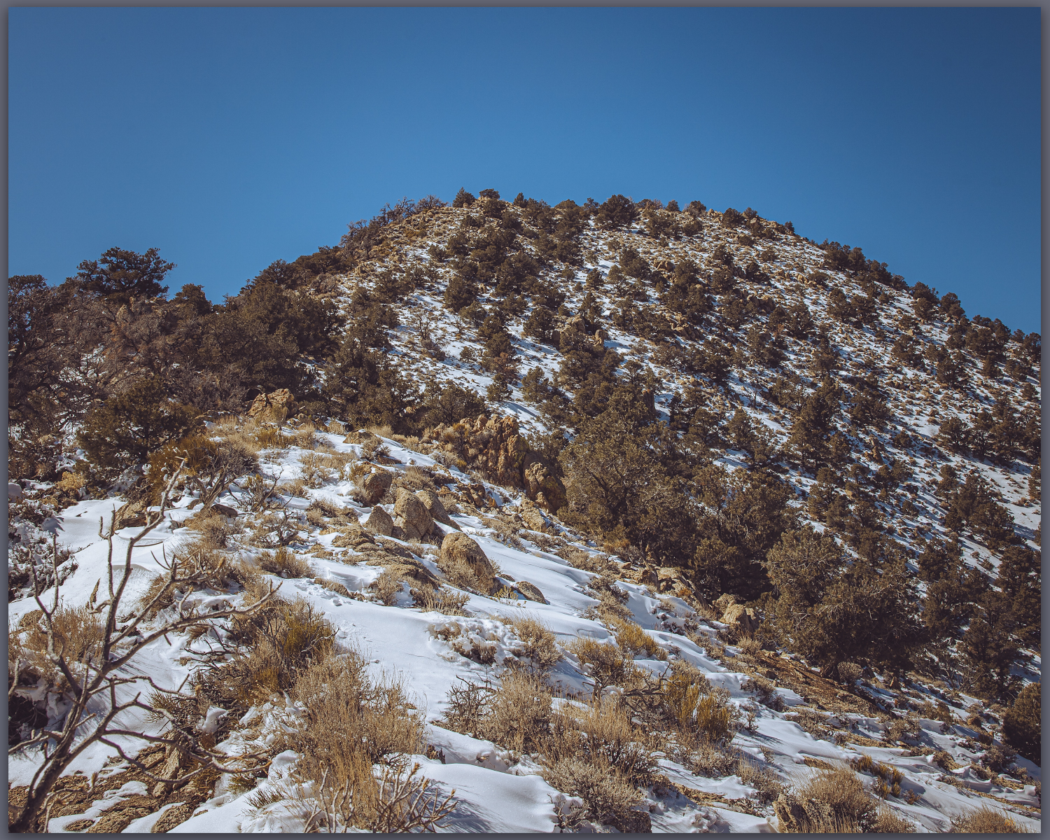
Cherry approach. A clear walk to Cherry Mountain, high point of the Lost Creek Hills, northern Nevada, Great Basin Desert, NV, USA

Cherry Mountain

6908 ft (2106 m) – 1565 ft gain

2024.06.29


A coyote woke me in the dark, sometime in the early morning. I had set camp at an intersection of dirt tracks along the road to Lost Creek Pass, having arrived late the previous evening. Earlier, Des and I completed a breeding bird survey in Surprise Valley while visiting some wonderful friends for other excursions, but we parted ways midway through the weekend. Now, a nearby bark, maybe disturbed by the presence of a truck and tent along a well-traveled path, pierced the pre-dawn silence. I had set the tent without its fly so I could feel the breeze and watch the turning stars. I hoped the song dog might saunter curiously by, so I waited silently but a sighting never came. The barks faded into the distance, only once answered by a brief but exuberant chorus in the far distance — a good morning start.

Early night. A glimpse of the Milky Way from camp on Lost Creek Road, northern Nevada, Great Basin Desert, NV, USA

I am in the Lost Creek Hills, a jumbled group of rhyolitic ash flow tuffs capped by small tablelands of basalt at the western edge of the Cottonwood Caldera. This is the caldera of the Bordwell Group obsidian, a common toolstone in the archaeological record of the northern and western Great Basin. I would visit some early collection localities as I traversed toward the high point of this small set of hills.

Bordwell obsidian. Secondary obsidian lag on the western margin of the Cottonwood Caldera, northern Nevada, Great Basin Desert, NV, USA

Stopping where an upper, dry tributary of Cherry Creek passed beneath the drooping cables of the LADC power line, I got out to pack my gear for a rolling, three-mile walk to the rounded summit of the Lost Creek Hills. I heard a car door slam. How is it that in the middle of nowhere, I stop and inevitably, so it seems, someone drives up? And this is early on a Sunday morning. They are donning packs, as I am, so I wander over to say hello. Turns out it is a vegetation survey team working for BLM; they will be walking down Clover Creek, so I head happily in the opposite direction.

Morning hunt. A Red Tailed Hawk watches at Lost Creek Pass, northern Nevada, Great Basin Desert, NV, USA

I walk through burn scars with skeletal ghosts of juniper trees, while pronghorn antelope eye me curiously before darting single-file to the opposite slopes. I find a primary outcrop of obsidian, unusual with its angular and almost tabular cobbles occurring here. Most nearby obsidian localities show rounded cobbles weathered by millennia of erosion and water wear. I document the outcrop, collecting a few natural cobbles (not archaeology) for future geochemical assay. Clearly Bordwell obsidian, but one cannot assume and thereby miss some internal variability around the caldera. Along the way I notice patterned depressions typically a few meters deep and several meters across, curving across gradual slopes at the caldera margin. They seem to be associated with the outcrops of angular obsidian fragments; only later do I notice their broad patterning on aerial imagery. I am now anxious to look at this patterned ground in the near future — maybe cooling blisters in the glassy ignimbrite formed prior to the caldera collapse.

Route map for Cherry Mountain with highlight of patterned ground
Route map showing the collapsed margin of Cottonwood Caldera and patterned ground that might be associated with local obsidian outcrops.
Patterned ground. Volcanic blisters at western margin of Cottonwood Caldera, Great Basin Desert, NV, USA (Map Point #1)
Toward Fox. Fox Mountain rises above the caldera margin, from Cherry Mountain, northern Nevada, Great Basin Desert, NV, USA (Map Point #2)
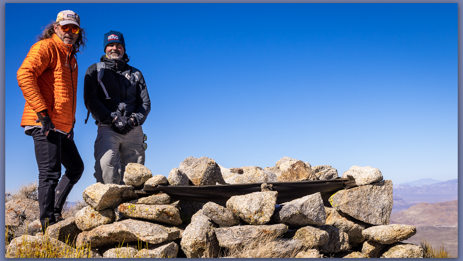
Cherry register. High point #123, Cherry Mountain, northern Nevada, Nevada, Great Basin Desert, NV, USA

The walk is easy but longer then I expected. I follow sparse two-tracks and cut cross-country to gain the summit ridge. The views are nice. The vast caldera drops away to the east, I can see its volcanic margins where I have found so many obsidian localities. To the west, Duck Flat sits below the southern Warner Mountains, as young volcanos rise further west in California. I only capture a few images in the direct light of approaching noon. I could do more to practice in these conditions, but I typically get motivated by the walk and forget to take time to see smaller scenes that I could work with.

Into caldera. The rolling margin at the western side of the Cottonwood Caldera, below Cherry Mountain, northern Nevada, Great Basin Desert, NV, USA (Map Point #3)

The day warms as I walk back to Clover Creek. An ancient strand of barbed wire draws blood from my leg as I fail to be attentive to the wire at one of the fence crossings; I think my tetanus is up to date, so no real worries even if it looks a bit ghastly as blood trickles into my sock. I’ll make it.

First year. A young coyote wanders the Cottonwood Caldera, northern Nevada, Great Basin Desert, NV, USA

I have a long drive home through Black Rock country, crossing the playa at a stretch before hitting pavement again at Gerlach. A slow end to a long excursion; happy to have the discipline to get a high point walk in and explore the margins of the caldera once again. Where will next month take me?

Keep going.

Nevada High Points #122 — Kinsley Mountains

D. Craig Young · August 3, 2024 · Leave a Comment

Tracks. Mining track on the beveled alluvial pediment of the Kinsley Mountains, NV, USA

Antelope VABM

7882 ft (2402 m) – 1400 ft gain

2024.05.12


The sky lit up as I opened the tailgate. I picked Antelope Valley, below the Kinsley and Goshute Mountains, as a good place to catch some Great Basin aurora. My eyes had yet to adjust to the fading of the blue hour, but I could easily make out white spires streaking skyward to my north; I had only just parked. I would forego setting camp and, preferably, set up my cameras. I took a few shots for settings, seeing the green and red hues of curtained aurora below the upright spires. On a second camera, my Canon R7, I started collecting images for a timelapse. I lacked time to consider any compositional elements, but the skyline of the Goshutes and the light-glow of distant Wendover might make decent foreground interest. It all looked rather good — for Nevada aurora, and I looked forward to a beautiful night. A coyote sang its approval.

Spires. Aurora appear in the early evening of Antelope Valley, eastern Nevada, USA

And then, nothing happened. I had paused to make dinner, setting water to boil on my stove, but a glance at the sky showed only stars above the false glow of the border-town casinos. I would wait — a quiet desert night is a good place to be patient.

I am on my way to meet my good friends and colleagues — Brian and Daniel — at the University of Utah, for a few days gouging around the southern Bonneville Basin. We are looking to improve the temporal resolution of landform deposition to investigate the natural taphonomy of radiocarbon dates — before archaeological dates can be used as a proxy for human population density in the Bonneville Basin of western Utah, we must understand how and where dates are preserved. If natural processes destroy or obscure otherwise dateable cultural features, we must calibrate our population proxies accordingly. There is a lot to it, but I let Brian and Daniel think about the proxies, while I try to understand the landforms. But in the dark of the night in Antelope Valley, prior to dropping into the Bonneville basin, I wait for northern lights and think about a morning walk into the Kinsley Mountains.

I missed out on a good night’s sleep. The aurora never returned, even as I waited and watched and then, waking every hour at the nudging of a vibrating alarm, monitored the sky throughout the night. Only stars. My cameras were ready but ignored. I soon give in to the blue hour. Fresh-ground coffee beans turn into a rejuvenating brew, so I can set my pack and break camp to find a canyon below the high point.

Although not known for its aurora possibilities, the Kinsley – Goshute mountain chain is the place for raptor migrations, so I had other attractions to consider. I could have done more research, but I thought maybe the spring movements might be in play. Many birds, especially hawks, eagles, and their kin, avoid open expanses of water, or former water in the case of the Bonneville playa and salt flats, preferring to hug the mountains along the margins. This focuses the migratory path into narrow bands, and Kinsley Mountains could be a rest stop along one such path. I will take the 100-500mm lens on my cropped R7 hoping for migratory birds.

Delivery. Long alluvial fan of alluvium above Chin Creek, Kinsley Mountains, NV, USA

Having chosen a canyon southeast of the high point, I drive along the alluvial bajada of the eastern mountain front, past ‘reclaimed’ mining waste hoping to look like hills. I notice a pronghorn antelope standing lonely on the playa-like plain of the basin fill, and I soon realize that she is not alone. She has a wobbly fawn; only a few hours old, the small thing is barely walking, it stands up, sits down. I am a little too close even though I am on a well-used road. Mom wanders off a little ways, so I move away as I hate to disturb them. My attempts at images are straight into the morning sun, so I leave the mom and her fawn alone.

Quaternary-age, uplifted alluvial pediment on southern eastern slopes of Kinsley Mountains, USA

The roads on the alluvium below the high point look good, so I turn toward the canyon of the Phalan Keegan Mine — the mine is inactive, but it is the reason the roads are here.  I can see steep limestone outcrops near the summit, and the adjacent plutonic granites are noticeably different. I park below the mine and set off, trying for an eastern ridge though I will need to dodge some large cliffs along the way. I am surprised to find, at the get-go, a well-constructed no-host bar nestled under pinyon tree. It is suitably decorated and has heavy chairs, a bar rail, a rock-lined hearth, and various pretty rocks and cached trinkets. An impressive surprise. I complain about ATV-laden hunting and off-roading parties at times, but they rather know how to create some intricate lodgings for their forays in the ‘wild’.

Hints. Trying to capture the flitting flycatcher, Kinsley Mountains, NV, USA

Wandering up canyon, I noticed a variety of songbirds, thankful for the Merlin app and its off-line identification magic. Gray Vireo, Dusky Flycatcher, Black-throated Gray Warbler, Blue-gray Gnatcatcher, Spotted Towee, Woodhouse’s Scru-Jay, Rock Wren, House Wren, Bushtit. I see the Vireo and Dusky Flycatcher (I think), and the Jay is easy and obvious. The others elude me. A small flock of Pinyon Jays (no app necessary!) heads northeast over the ridge and away. Peregrines emerge from a cliff face high above.

The walk is nice, though I am not photographically inspired. Ramps of limestone lead nowhere, but I can work my way along outcrops and across some back slopes to eventually reach a nice, rounded summit. There is barely a breeze, and the late spring temperature is perfect, practically no clouds. The summit is pleasing, like most any summit can be, but this morning stands on its own. I am unhurried in the calm and spend quite a lot of time just enjoying the views from Mount Wheeler in the Snake Range to the Rubies in the west, and the expanse of the West Desert of the Bonneville Basin rolling out to the east

Snake Range. Wheeler Peak in the snow from the Kinsley Mountains, NV, USA

I do, however, need to get going. I drop down the opposite, north side of the eastern ridge but flush a Peregrine pair suddenly. I had seen one of them earlier. They are nested in a near-summit outcrop, and I have walked in on them from above. I do my best to get quickly away, as I hate disturbing them. But disturbed they are, and I am variously screamed at and dived upon until I get some distance. I watch for a while and then continue downhill.

On guard. A Prairie Falcon protests my approach, Kinsley Mountains, NV, USA

It is an easy descent to some relict fans that are perched below the southern slopes. These ancient alluvial landforms are very old and almost perfectly smooth except where they are cut by deeply incised drainages. They are slowly tilted as the mountains build, and it is fun to see some Quaternary landforms far above the valley fills. Soon, I am back at the truck where I can open the bar where, here at noontime, it is bring your own beer.

Bar’s open. A welcome sight at the base of the canyon below the summit, Kinsley Mountains, NV, USA

Cheers to a nice walk. Even when the photos fail to motivate or impress me, the high points are special, every one of them.

Keep going.


Nevada High Points #121 — Sentinel Hills

D. Craig Young · July 28, 2024 · Leave a Comment

Quinn River Valley. Sentinel Hills, Great Basin Desert, NV, USA

Hoppin Peak

6148 ft (1874 m) – 1260 ft gain

2024.05.07


It was time to close the day. I left McDermitt, Nevada, after sharing results of recent projects in a long meeting with the council of the Paiute-Shoshone Tribe. Archaeological studies driven by proposed developments are not always welcomed, and while the meetings are almost always cordial and informative, they can be emotional and contentious given the variety of views regarding the impacts, good and bad, that projects bring. I do my best to be honest and clear in my presentations, but I understand that I work for a project proponent (utility or mining companies, for example) at the behest of a government agency, and sometimes limited by my western scientific perspective, I fail to resolve and answer adequately the deeper concerns of some members of the traditional community. We could do better. Weary from the long meeting, I pointed my rig into the hills west of Quinn River Valley, breathing easier and settling into the fading light of the afternoon.

Reveling in the sound of dirt under my tires, my head cleared; a pronghorn antelope stared at my intrusion. The volcanic tablelands of the Sentinel Hills spread to the southern horizon, and I could see Hoppin Peak rising as a rim-rocked butte, which I knew overlooked the Quinn River Valley now to my east. I would camp up here in the sagebrush and cheatgrass but, first, I thought I had enough evening light to walk a few miles to the Hoppin Peak high point. Finding a level area to eventually pitch my tent, I grabbed my pack and set off.

Hoppin Peak. High point of the Sentinel Hills, Great Basin Desert, NV, USA (Map point #1)
Oblique aerial imagery of a section of the Sentinel Hills showing route to Hoppin Peak.

The Sentinel Hills are block-faulted remnants of lava flows that oozed from the volcano that would eventually collapse to form the McDermitt caldera. Prior to its collapse, the volcano extruded a prodigious amount of rhyolitic tuff and lava. The eruption produced deep beds of pyroclastic ash with unimaginably hot and dense ground-clouds transitioning to highly viscous lavas; these may have cycled over and over as eruption followed eruption during the fiery event. In places, the weight of the viscous beds (along with somewhat unique combinations of chemistry and water content) resulted in strata of thick, glassy ignimbrite beds and, sometimes, massive glass beds of obsidian were left behind. These processes, especially the extensive evacuation of so much volcanic material, resulted in the volcano’s collapse by about 17 million years ago, leaving a mark on northern Nevada that remains to this day – and leaving a vast toolstone resource so prominent in the regional archaeological record. I have spent considerable time in the hills of the caldera but have yet to visit the high point on its eastern margin.

Above Quinn. Lichen-covered outcrop in the Sentinel Hills, Great Basin Desert, NV, USA (Map point #2)

The day’s light faded as it bounced among building clouds. I walked the rolling hills skirting the tops of canyons that cut into the volcanic rocks. Obsidian seems absent on the top of the tablelands, as I continue to map the geography of the volcanic glass around the caldera. It is not a demanding walk, the only challenge coming from two groups of wild horses that cannot decide if I should be there. They are at once curious and then immediately skittish, and I only want to stay out of harm’s way. The horses are momentarily fascinating and beautiful, bristling at my presence, but their numbers take a toll on the springs, and the local slopes are cut by numerous trails that radiate between water sources, most of which are now dry.

In a last gasp, the light rakes beneath the clouds as the sun sets about the time I gain the rimrock and talus that guard the summit. There is a small rock cairn and the usual quiet register. I had hoped for a dramatic sky highlighted above the setting sun, but the clouds dropped in a broad western curtain, and dark began to set in. I had several groups of horses to navigate through, so I did not wait any longer.

Overlap. Fading grass in the Sentinel Hills, Great Basin Desert, NV, USA

I had, of course, packed my headlamp, but I prefer not to use it unless completely necessary. I could hear the horses shuffling nearby, but they kept their distance as I made my way back to the truck to set up camp. Hoppin Peak is not dramatic in any way, but the walk is refreshing, and I feel much better for it. I learned something about the lavas of the Sentinel Hills, confirming that obsidian nodules of toolstone quality (or any really) are absent from the tops of the flows. I can expand my maps a bit more, adding this detail to the eastern margin of the caldera. I will continue my caldera excursion tomorrow after listening to the Chukar and coyotes; a Common Poorwill sings its haunting, lonely notes somewhere in the canyon below. A quiet close to a long day — the small hills almost always provide that.

Keep going.

Heads up. Hidden Sage Grouse on Ten Mile Creek, Sentinel Hills, Great Basin Desert, NV, USA
Hun in flight. Hungarian Partridge in the sagebrush of the Oregon Canyon Mountains, Great Basin Desert, NV, USA

Please respect the natural and cultural resources of our public lands.
#naturefirst #keepgoing

Nevada High Points #120 — Kamma Mountains

D. Craig Young · May 9, 2024 · 1 Comment

Pano play. Double fun on Rosebud overlooking the Black Rock Desert. Photo credit: Bryan Young.

Rosebud Peak

6496 ft (2070 m) – 2070 ft gain

2024.04.13

Rosebud Collection


Once in a while – a great while evidently, a trio of brothers share an adventure. It is my 60th birthday, an adventure of its own; and while a decadal birthday is event enough, this one found Bryan with Darren and me at the foot of Rosebud Peak, in the Kamma Mountains at the edge of the Black Rock Desert playa. This excursion was set up several months ago.

My brother Darren lives close by here in Nevada, and he joins me on various wanders among the state’s highpoints. Bryan, our middle brother, lives in Texas where he manages an amazing family and a less adventurous plastic bag factory, taking great responsibility and pleasure in both. It means, however, that his trails wander among the concrete and steel of Dallas, Texas, as Darren and I follow a somewhat more natural topography across Nevada. Bryan was missing out, even as his passions focused elsewhere. Eventually, Heather, my sister-in-law, intervened. It was time to get Bryan to the desert, to join the fraternal adventures. A plane ticket appeared, he got on a plane, and he dropped into the Great Basin. We then began a simple adventure seeking my 120th highpoint; it would be Bryan’s first in Nevada, while Darren, focusing on the experience, does not really count these things. As we drove toward the Black Rock, I realized we had never had an experience involving the three brothers. Never; at least not one that expanded on a bunch of kids playing along the fields and creeks of north Texas. I am happy those kids could once again gather in the low hills of the Black Rock Desert in northern Nevada.

Dust wave. Desert dust lifting from the Black Rock playa, Black Rock Desert, NV, USA

Thunder. Wind. Dust. Obsidian. Miles of endless sky among shockingly green hills of the springtime desert. While I often rue the clear skies and sharp light of the desert – it would not be desert without it, my birthday was a gift of variability, giving us the experience of desert dynamics that make it memorable, whether you are here for the first or hundredth time.

Tracing obsidian. Planning a transect of Granite Springs Wash and Rabbithole Creek. Photo credit: Bryan Young
Incoming squalls. These squalls preceded a later rain. Photo credit: Bryan Young

Our drive took us along the puddled margin of the Black Rock playa, following the ‘high road’ toward Sulphur and Winnemucca, beyond. Blue skies turned dark as white dust rose to meet grey-black virga, an ill-formed haboob rolled toward the Jackson Range with churning dust devils leading the way. I had first thought of camping at the small playa of Wetweather Flat, but the name gave me second thoughts; if the clouds get organized, we might be wet soon. We had some time, however, so I led us on a few obsidian transects having seen reference to ‘obsidian’ in some archaeological notes written on a nearby mine project – I have spent some time mapping the Majuba and Seven Troughs toolstone sources but had been snowed out the last time I was in the area. We wandered among the dry washes of Granite Springs Wash and Rabbithole Creek where I had observed nodules previously. The obsidian is here in the gravel bedload, but most of the clasts are not of toolstone size.

Camp before the storm. Good drama at the end of the day. Photo credit: Bryan Young.
Camp in trees. Cottonwoods of the Rosebud Mine, Kamma Mountains, NV, USA

During our afternoon wandering, we found a campsite among cottonwoods of the historic Rosebud Mine. The storm reached us just as we set up our tents, unleashing a refreshing rain punctuated by flashes of lightning and rolling thunder. It was the full experience, and we stood exhilarated under my awning for the short downpour. Things dried quickly however, and the sun raked toward its setting horizon, streaming warm light in a haze of remnant dust. We created our tailgate dinner and got a nicely contained fire going. This gave us the relaxing time we had been waiting for, and we settled in for a long evening of conversation and thoughts of an early hike to Rosebud Peak which rose gradually to our northeast.

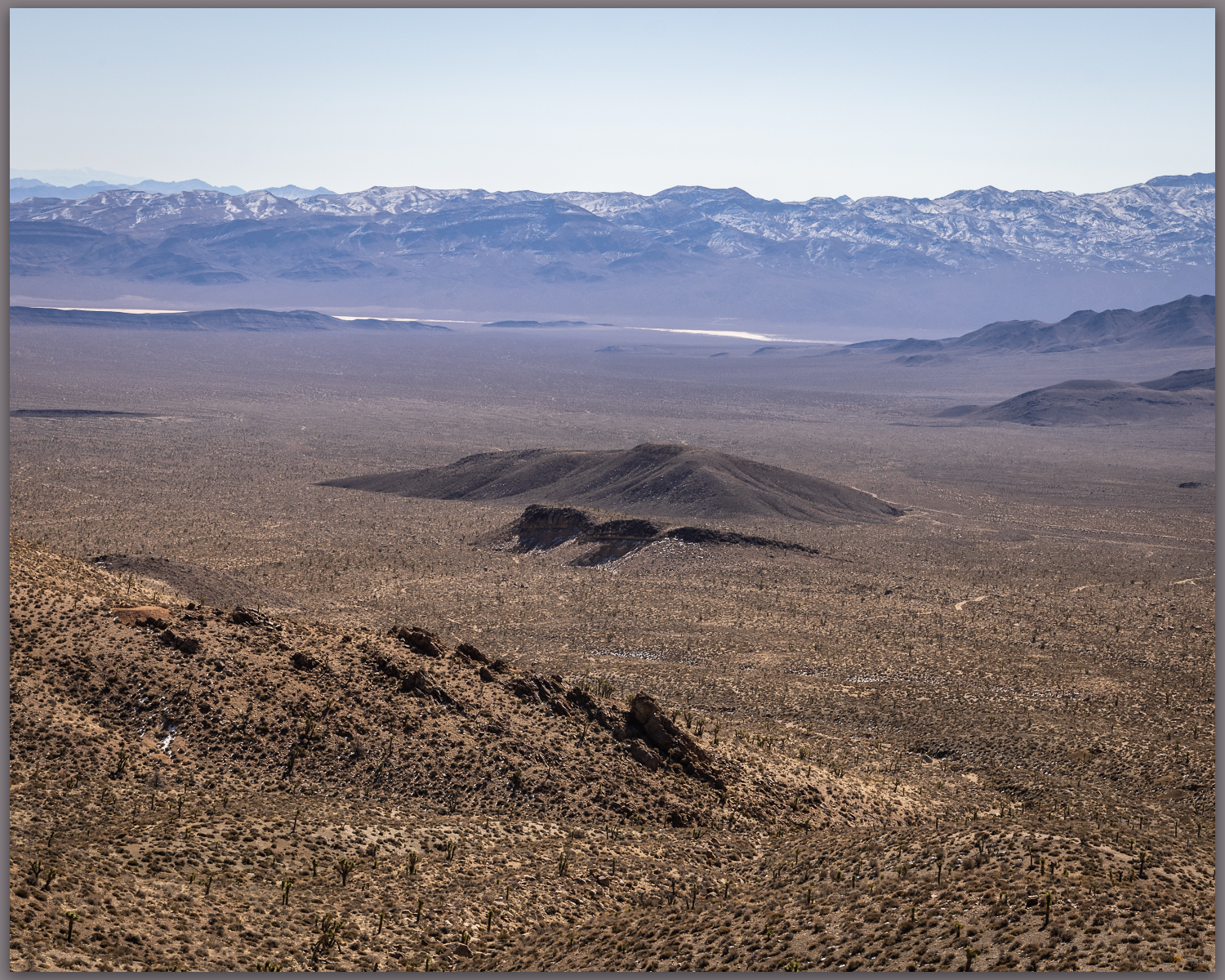
Desert green. Rosebud Canyon leading toward Rabbithole, Black Rock Desert, NV, USA
Rain arrives. Finding shelter from the brief downpour. Photo credit: Bryan Young.
Birthday dinner. Prepping dinner after the rains. Photo credit: Bryan Young.

Sunrise found us at the foot of a series of broad, gradually sloping pediments leading to a long series of rocky ridges bounded by steep, gravelly slopes. The pediments are old alluvial fans or long rocky steps beveled to gradual slopes by long periods of erosion; the ridges of altered volcanics jump from the beveled surfaces and rise in a long line toward the summit of Rosebud Peak. Below us, along the roadway, small alluvial fans push from small canyons delivering pulses of sediment to the generally dry, underfit drainage of Rosebud Canyon. The map of young landforms is obviously simple.

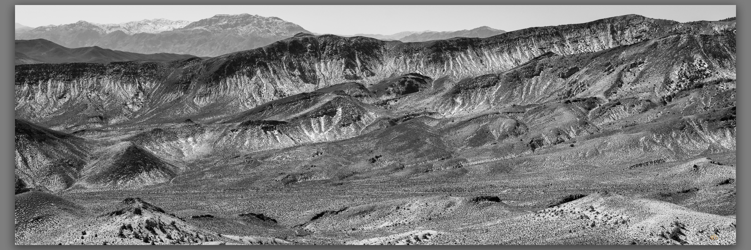
Laying back. Dissected pediment of the southern Kamma Mountains, Black Rock Desert, NV, USA
Rosebud slopes. Beveled pediments reach to inset alluvial fans of Rosebud Canyon, Black Rock Desert, NV, USA

I had chosen this relatively gradual walk knowing that Bryan was coming from the low-elevation cross-timber country of northern Texas, and it was his first outing in mountainous country in a long time. The Kamma Mountains are cut by mining roads, and our walk is generally easy with only a few steep sections. The hills are open with dots of juniper trees tucked into rilled alcoves where volcanic tuffs form small, dramatic outcrops. If the outcrops are small, our views are expansive. While the hills and valleys seem barren, there is a green blush spread across the springtime desert; it makes for yet another splendid walk even as the wind builds into the early day.

Camp breakfast. Getting ready for Rosebud Peak. Photo credit: Bryan Young.
A band of brothers. Heading out at sunrise, Rosebud Peak, Kamma Mountains, NV, USA. Photo credit: Bryan Young.
Lower slopes. Onto the beveled pediments below Rosebud Peak. Photo credit: Bryan Young. (Map point #1)
A good walk. Two miles of ridges and roads to the Rosebud Peak. Photo credit: Bryan Young. (Map point #2)

We summit in mid-morning, following a two-track road to the rounded summit. Although we are only at 6,500 feet, Rosebud Peak is prominent at the southeastern margin of the Black Rock Desert and affords an expansive view of ranges that I have climbed and several that I will soon visit. The snow-lined crags of King Lear Peak rise to the north; I reached that summit in 1994, half a life ago. That makes no sense.

Kings distance. King Lear’s throne rises in the Jackson Mountains, Black Rock Desert, NV, USA

Rosebud Collection

Our descent takes little time. , and we are soon back in camp preparing a well-deserved breakfast. As we clean things up our discussions turn to other mountains, especially the ones that at first seem uninviting or that are generally obscure when compared to the soaring summits requiring significant effort. The surprises are the ‘why’. I have repeated this often, and it is clear that this band of brothers understands. Rosebud Peak, almost chosen at random, has brought us together. We rallied and made it happen, coming from different directions to experience the subtlety of the little things. The prelude of dust and thunder set the stage for a relaxed morning of effort and conversation. Perfect.

Lost in conversation and the joy of unusual company, I did not spend time on photography, and I am surprised I came home rather empty-handed – I let the drama run its course, sharing the experience with my brothers. Many of the photos I share here are Bryan’s as he chronicled his adventure to Rosebud. Perfect, again.

Keep going.

  • « Go to Previous Page
  • Page 1
  • Interim pages omitted …
  • Page 4
  • Page 5
  • Page 6
  • Page 7
  • Page 8
  • Interim pages omitted …
  • Page 27
  • Go to Next Page »

Trail Option

Copyright © 2026 · Monochrome Pro on Genesis Framework · WordPress · Log in

  • Contact TrailOption
  • Substack
  • Waypoints Bibliography
  • Young Archives