The forecast for Winnemucca, Nevada, where our plan was to scour the dunes north of the Humboldt River for foreground leading to annularity, was accurate if not precise — mostly cloudy to mostly sunny. What could go wrong?
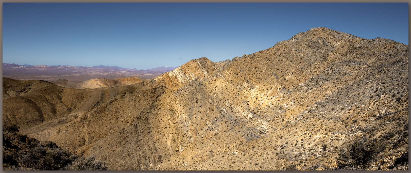
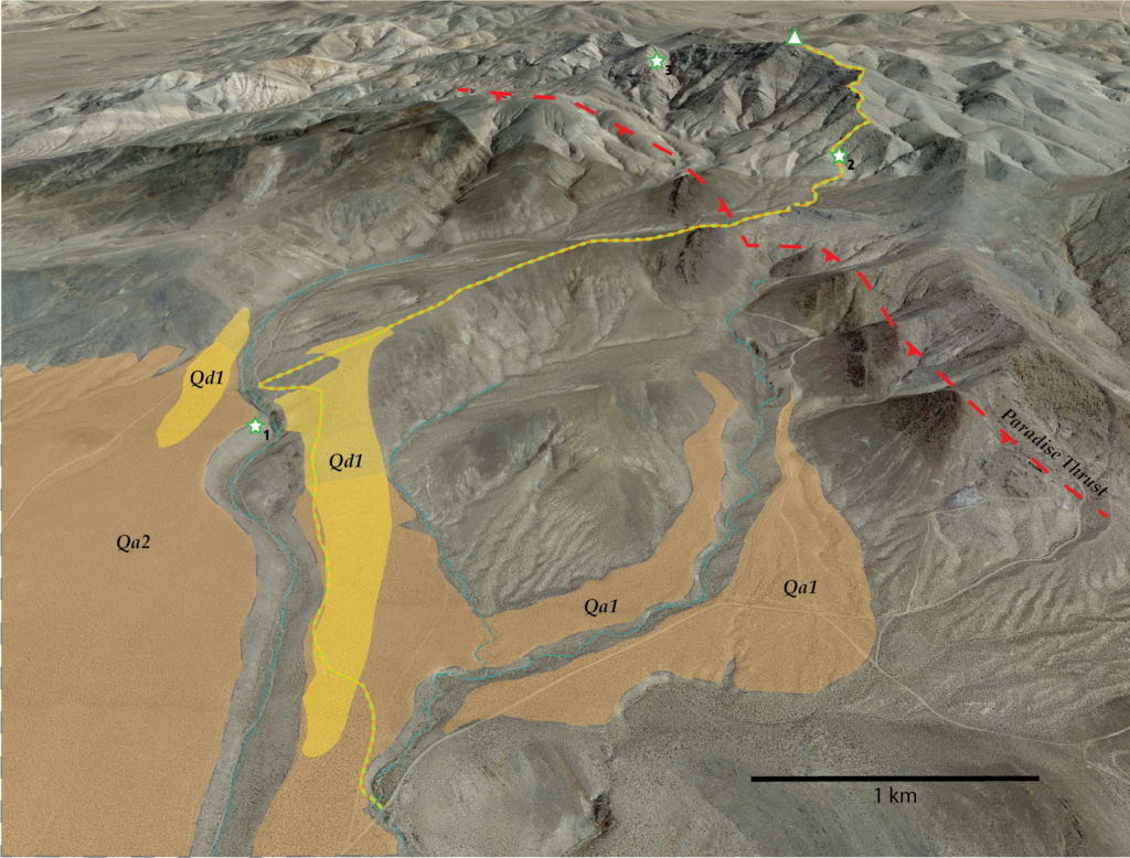
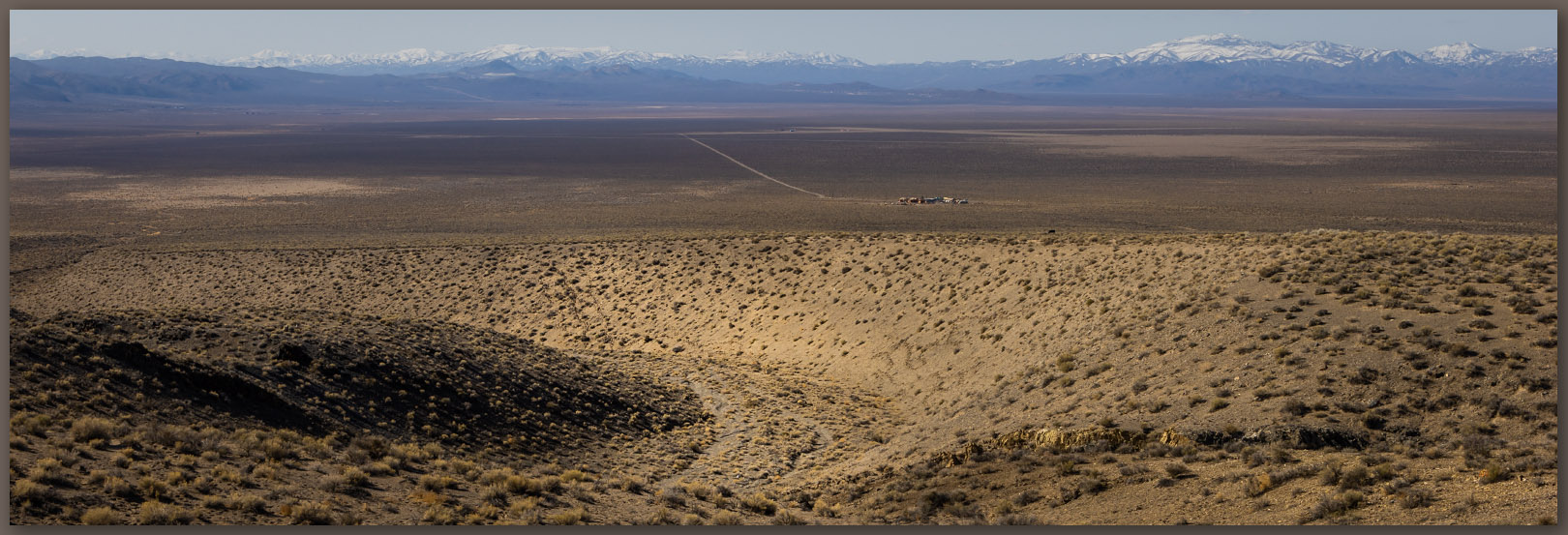
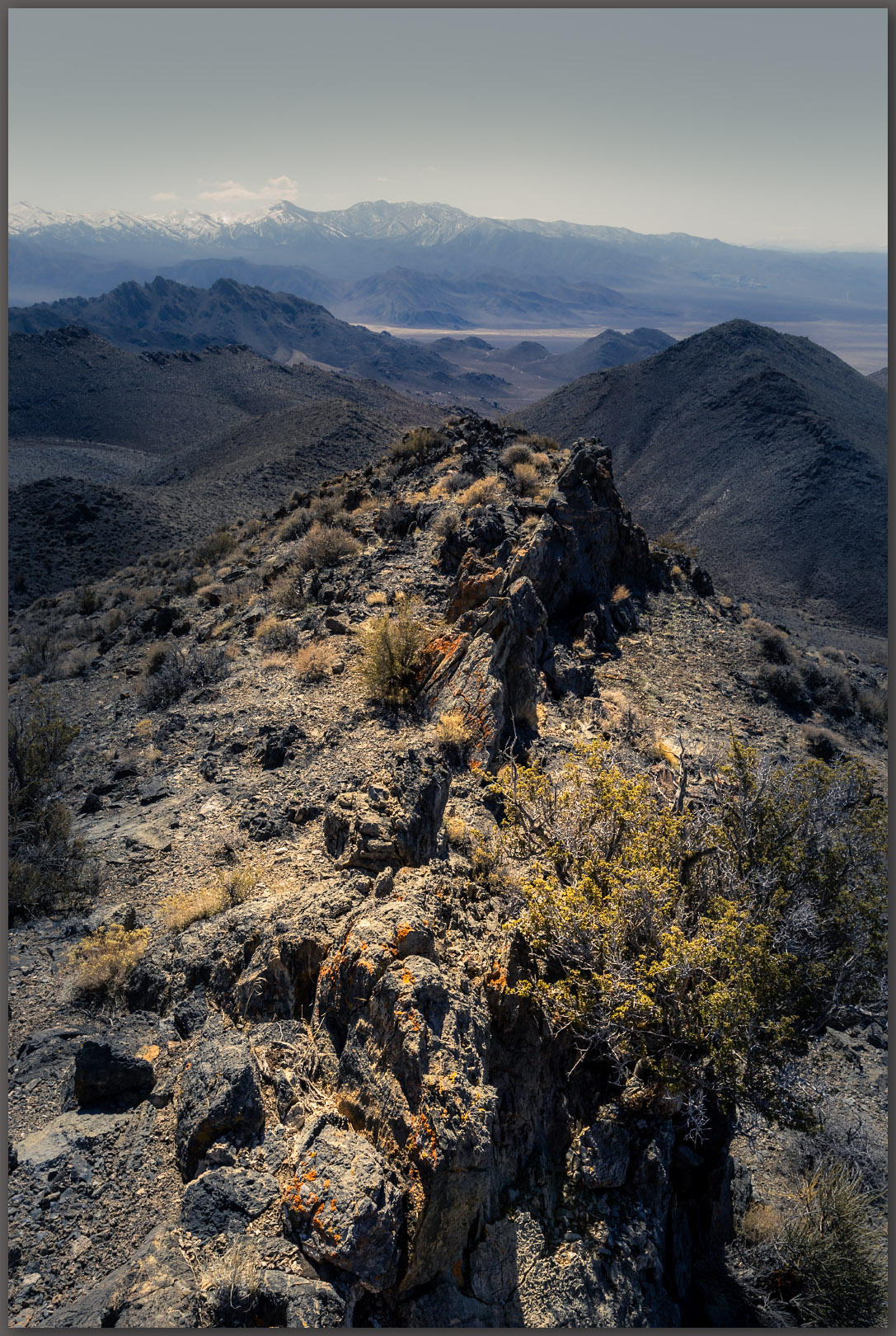
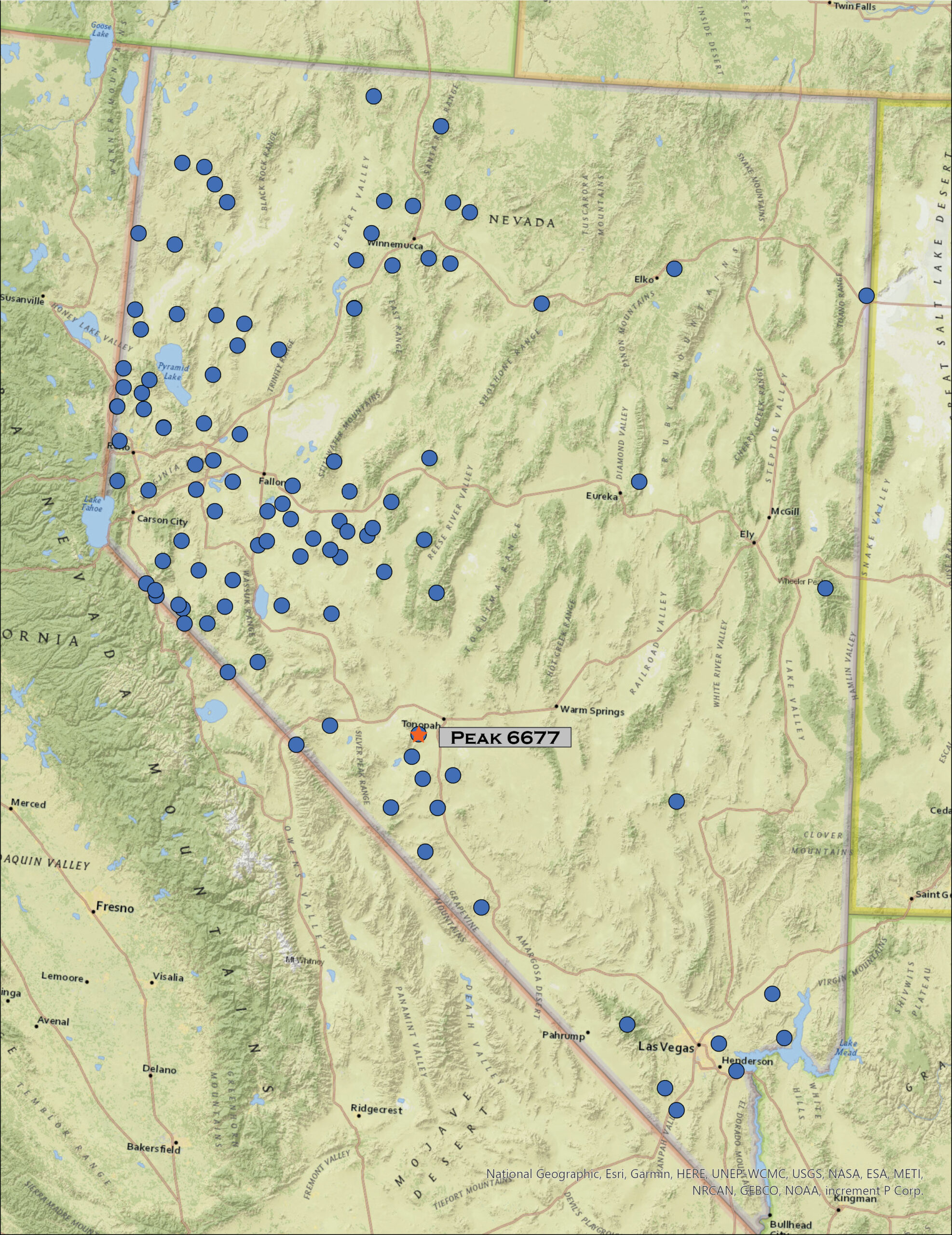
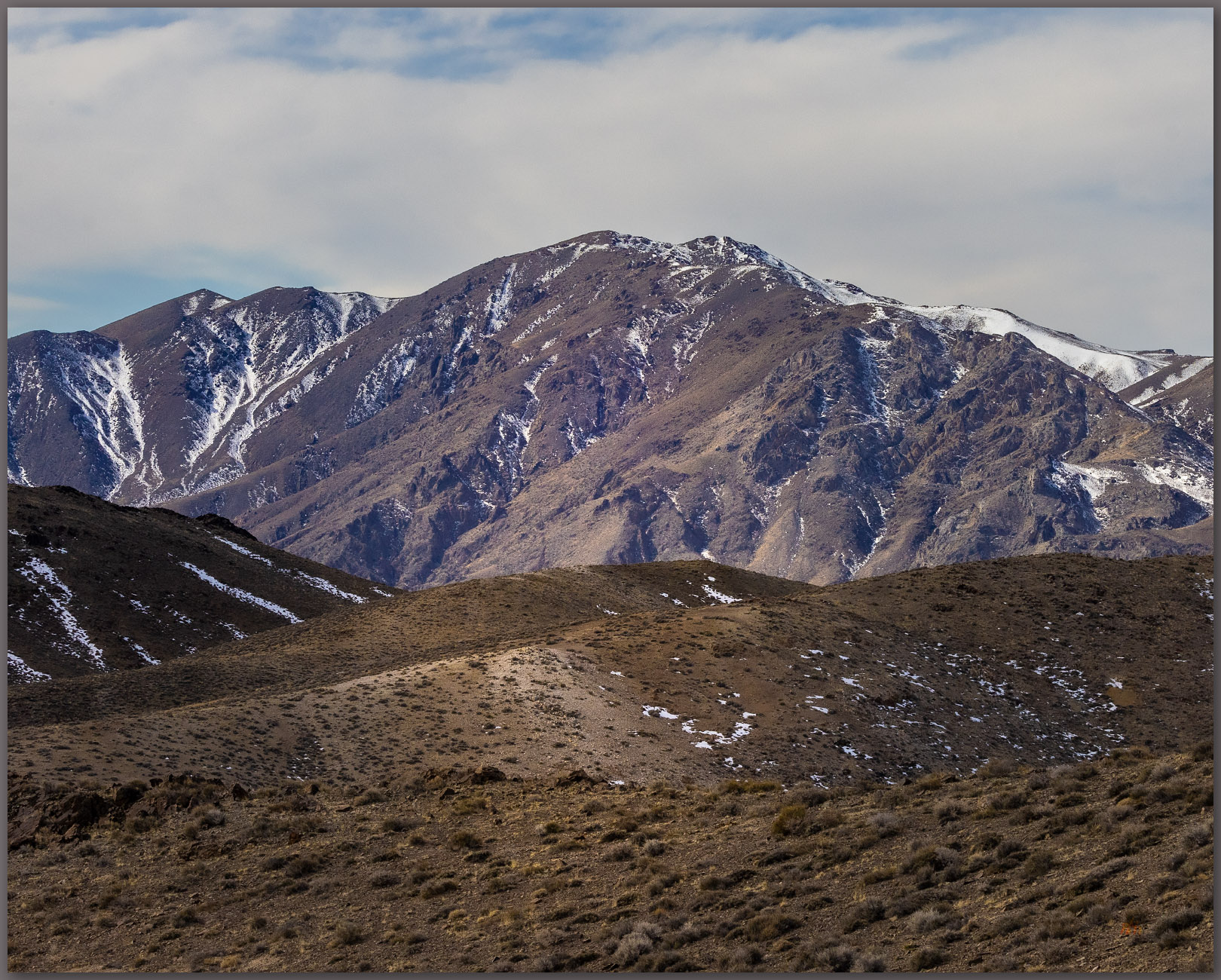
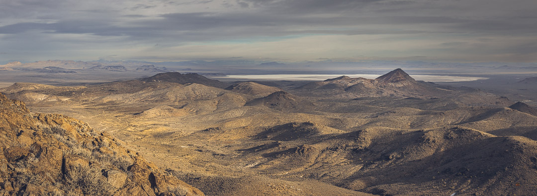
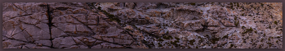
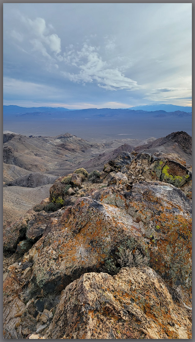
Erno and I chose to head deeper into the Great Basin, settling on Diamond Valley and Tyrone Gap, north of Eureka, Nevada. We followed “America’s Loneliest Road,” which it is not, over pinyon ranges and sagebrush valleys until turning north to find Tyrone Gap, a split in low, steeply tilted limestone hills. Here, the two-lane highway leaves Diamond Valley to climb toward Roberts Mountain and Pine Valley. The gap and highway would be aligned with the rising sun and might provide some foreground interest.
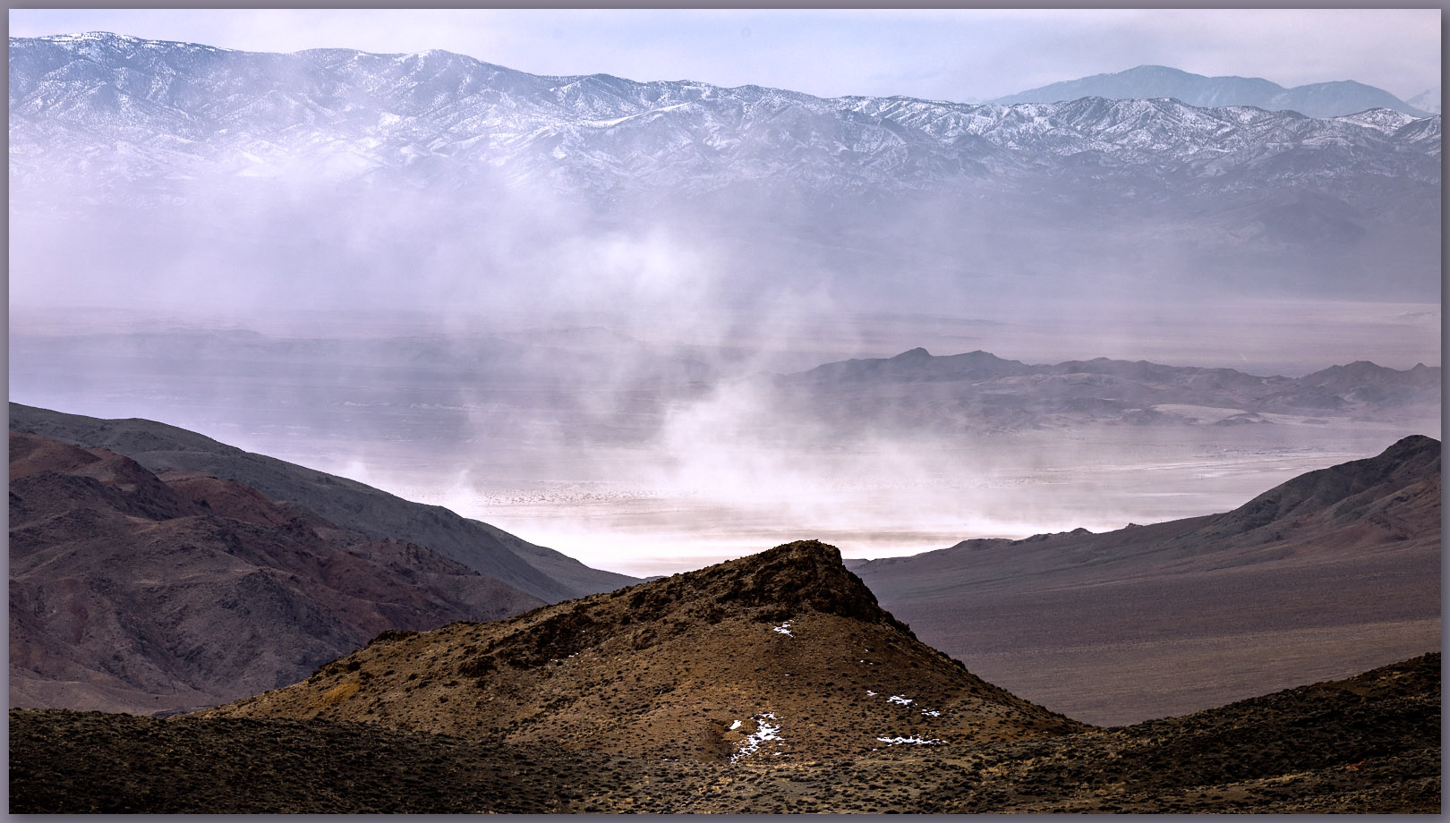
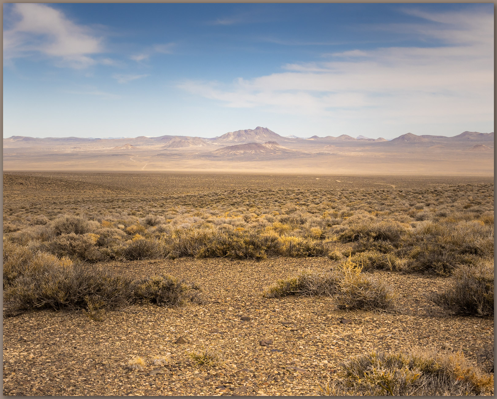
I did not want the relatively simple photo of the ‘ring-of-fire’ in a featureless sky — those can be cool but are all too common. At the same time, we did not have the time to plan a compelling intersection of, say, a hiker or howling coyote (as if) against the celestial event. Unfortunate. So, we would settle for some rocks in silhouette to frame whatever gifts we were given in the morning. Our brief evening scout showed potential in the hills south of the gap; we settled on that for morning and then settled into our camp for evening.
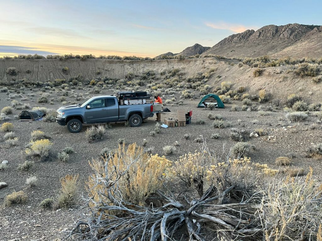
Our camp was a small gravel pit — an easy go-to whenever I traverse Nevada highways. In the growing dark, we cooked up some dinner and marveled at the revealing canopy of stars. A side benefit of solar eclipses is that they occur during the new moon, and the dark skies of central Nevada are so very nice. A coyote and a friend or two took up a chorus to sing us into the night. Splendid.
We awoke to waves of high clouds. Their spacing suggested we might get the views and images we wanted, but we generally refrained from discussing “what if?” It would work.
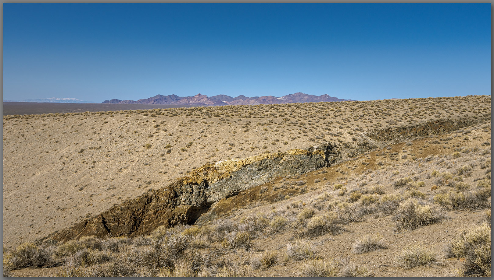
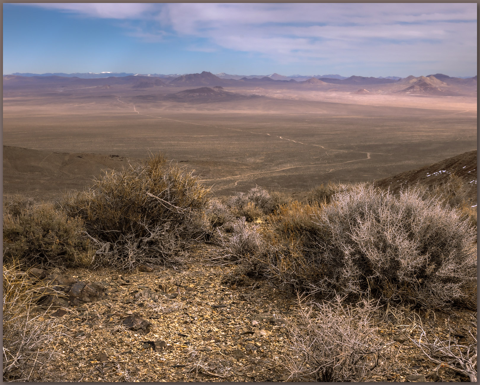
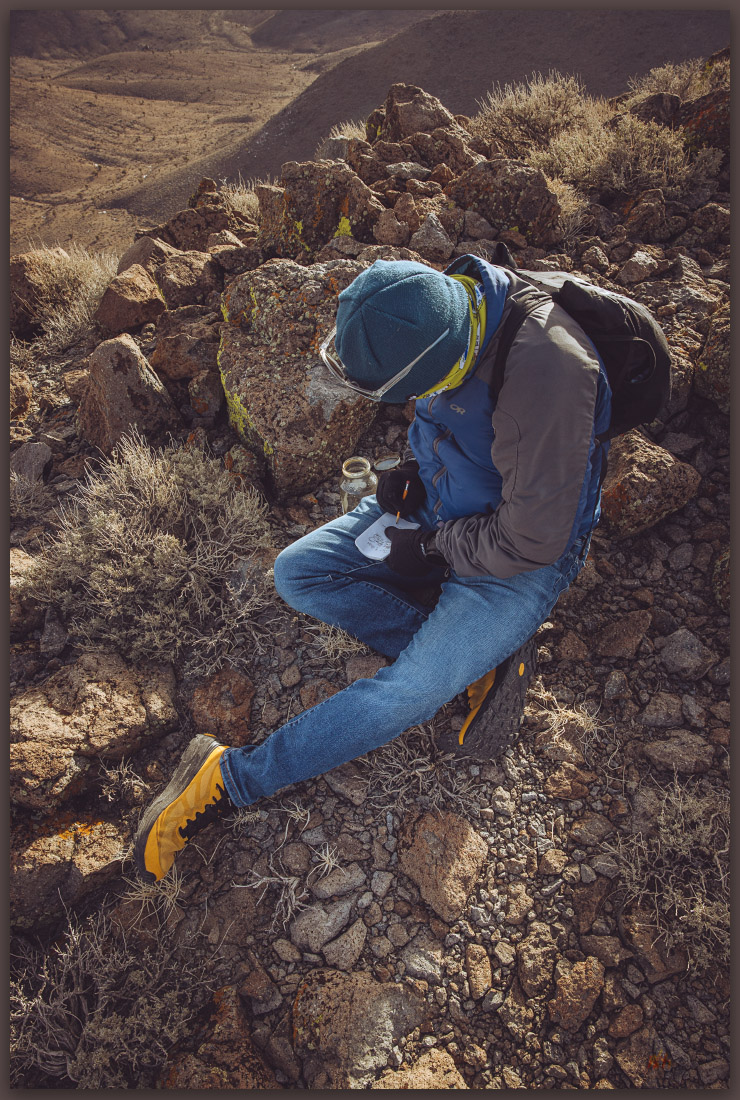
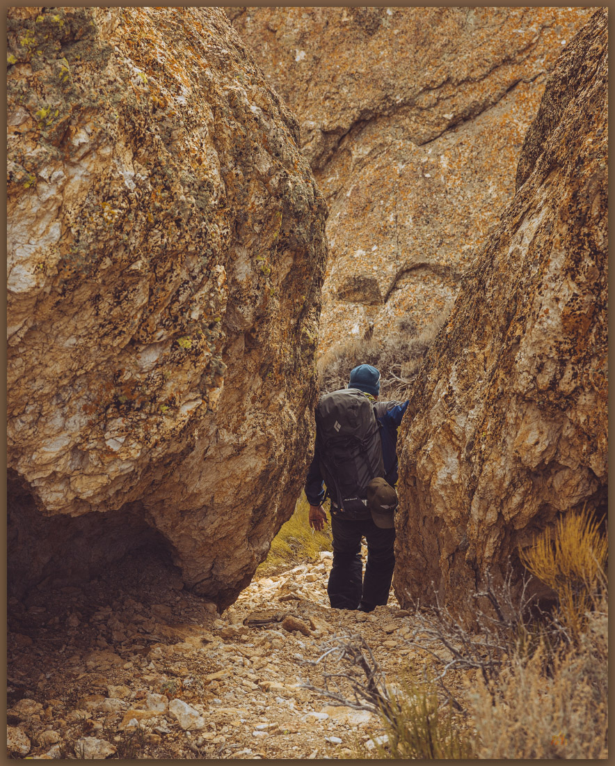
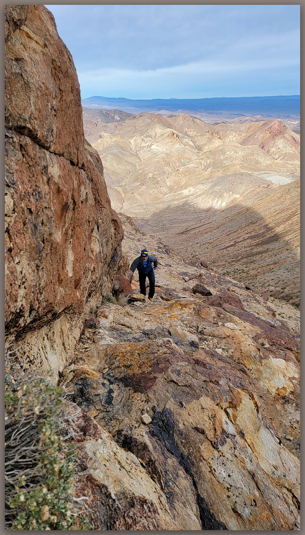
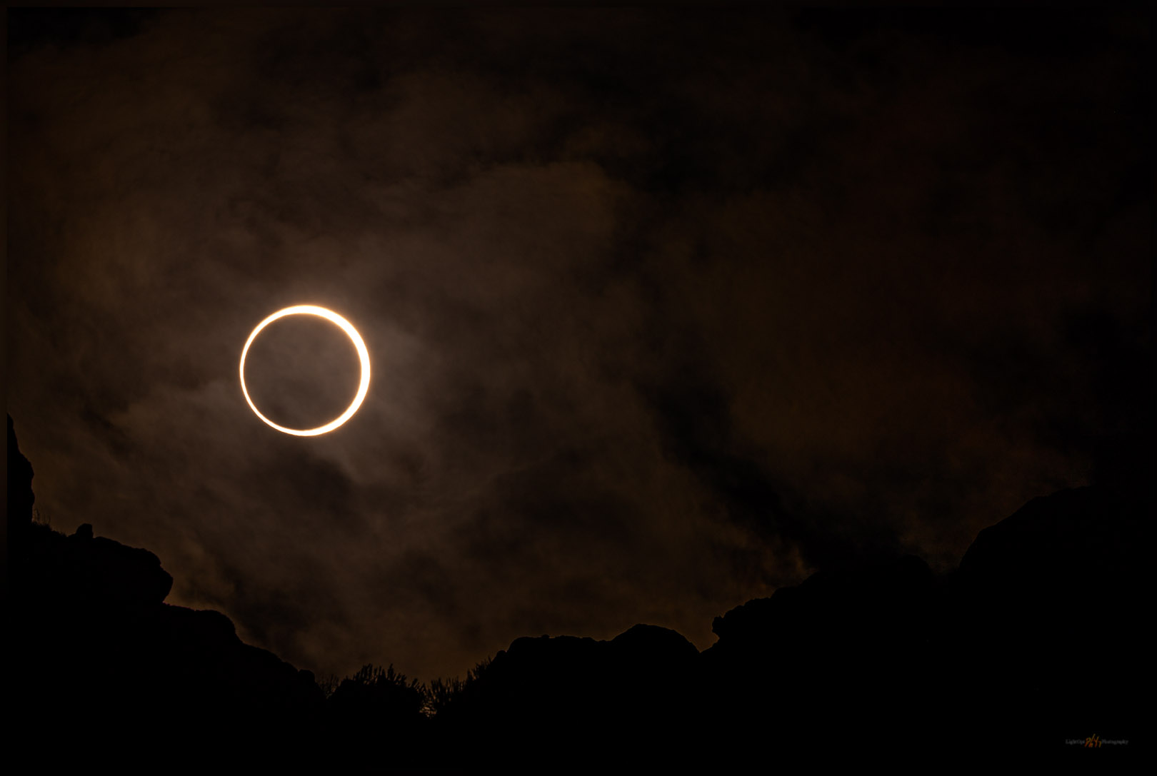
After fueling with a sunrise coffee, we drove the short distance to the break in the fence where we could hike into the hills above Tyrone Gap. We had settled on 100-500mm lenses knowing we would climb into the hills to get the ridgeline as a compressed foreground at the high angle of the sun at mid-morning, the general time of the eclipse (annularity at 9:20am). We had a variety of filters but soon settled on 10-stop ND. These seemed to work with the touch of clouds that scudded occasionally into our sightlines. I actually liked the clouds as they added atmosphere and seemed to not diminish our experience.
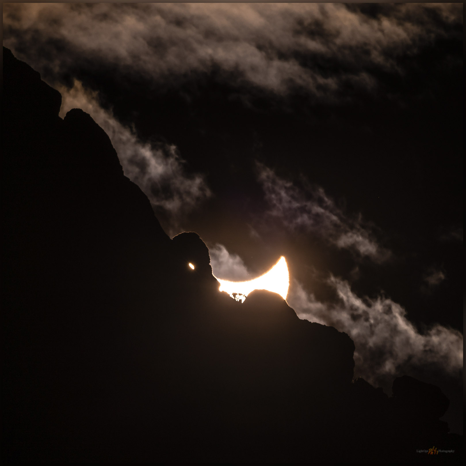
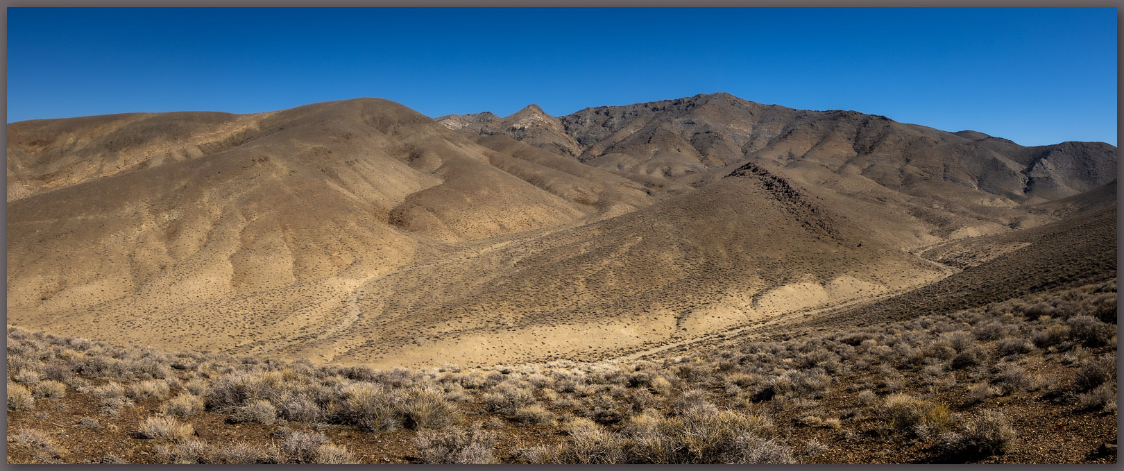
Although we waited on the shaded side of the ridge, once in a while wondering if we had missed the whole event, I could run to the low hill to our west to anticipate where the sun would breach the rocks. I had some protective solar glasses and soon noticed the sun at ‘first contact’ breaking the solar disc into an upturned crescent. To my great surprise, when I returned to my camera to see the partial eclipse appear, it revealed a small arch as its first rays broke above the ridge line. I shifted only a short distance to capture the interaction between the dual arches, one of fire and one of rock. Unplanned other than giving myself the opportunity to be here.
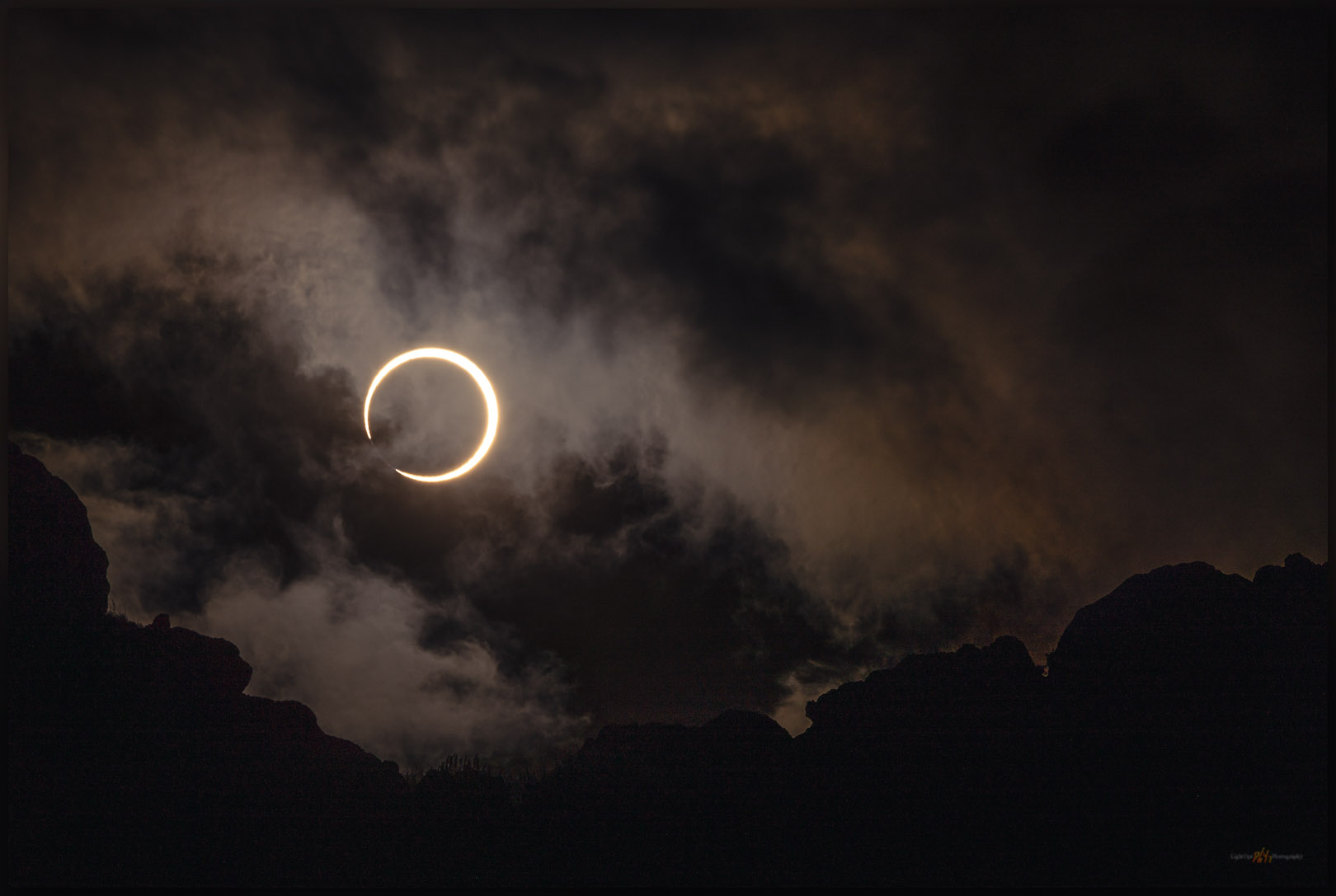
We were awed by three or four minutes of annularity. I had thought it would be darker, but it was more like a moment of golden hour or the passing of a thicker cloud band — I still need to experience totality (April 2024!).
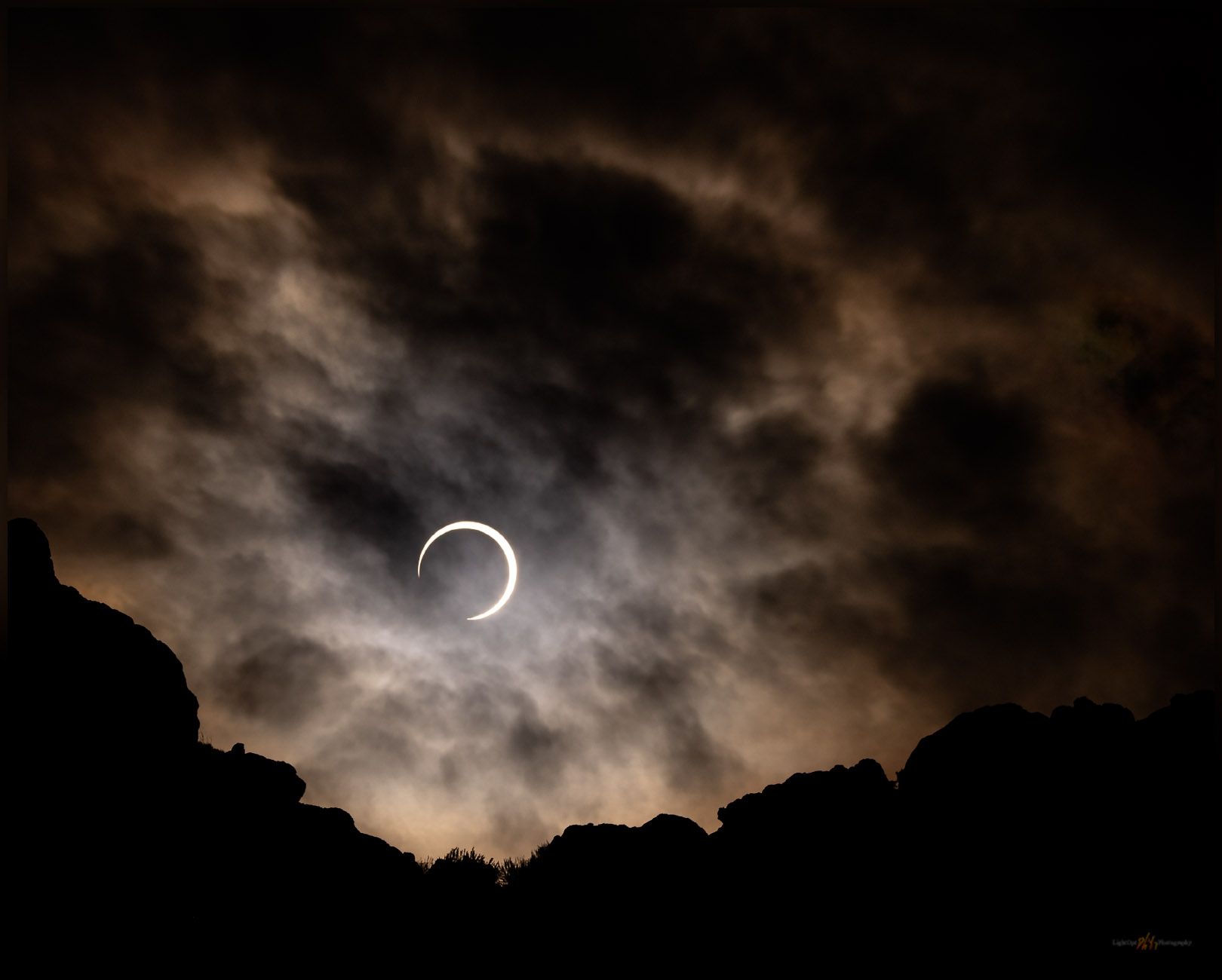
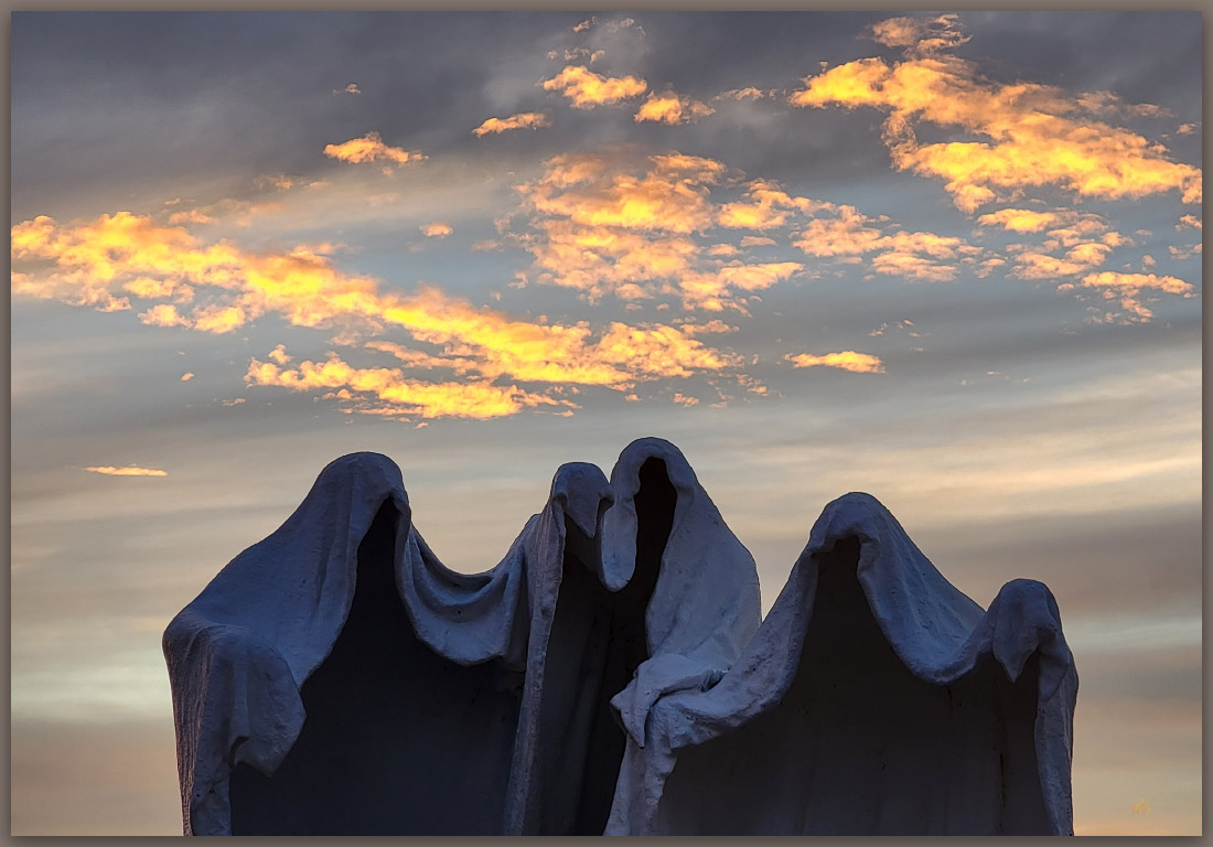
My Departing image may be my favorite of the set. The clouds remind me of a deep-sky nebulae where stars are born or where the ghosts of stars reside — the dark and glowing dust at either end of a star’s seemingly infinite life. And here is our star, momentarily intruded upon but endlessly providing. It is a beautiful jewel, and we should take time to notice its movements; it is not infinite, but it clearly does not and will not care.
Keep going.
Please respect the natural and cultural resources of our public lands.