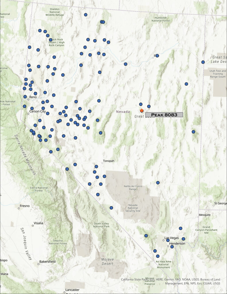
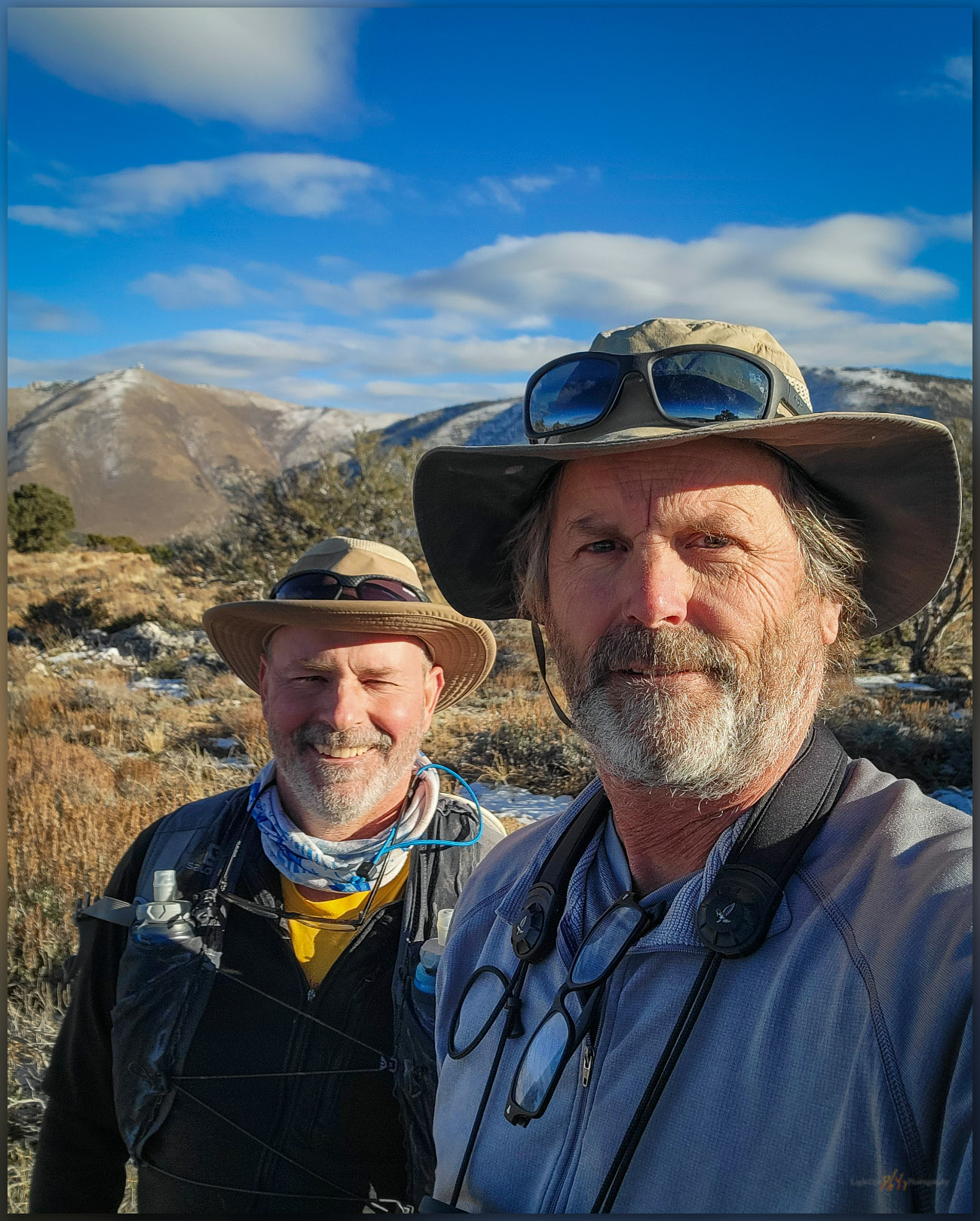
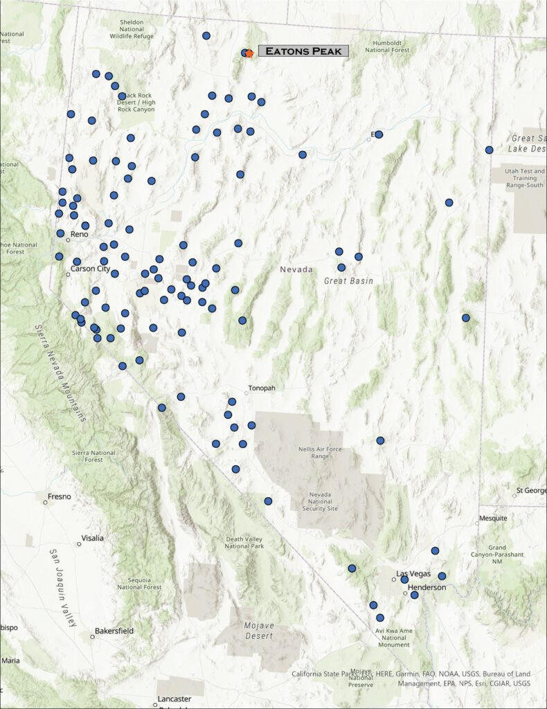
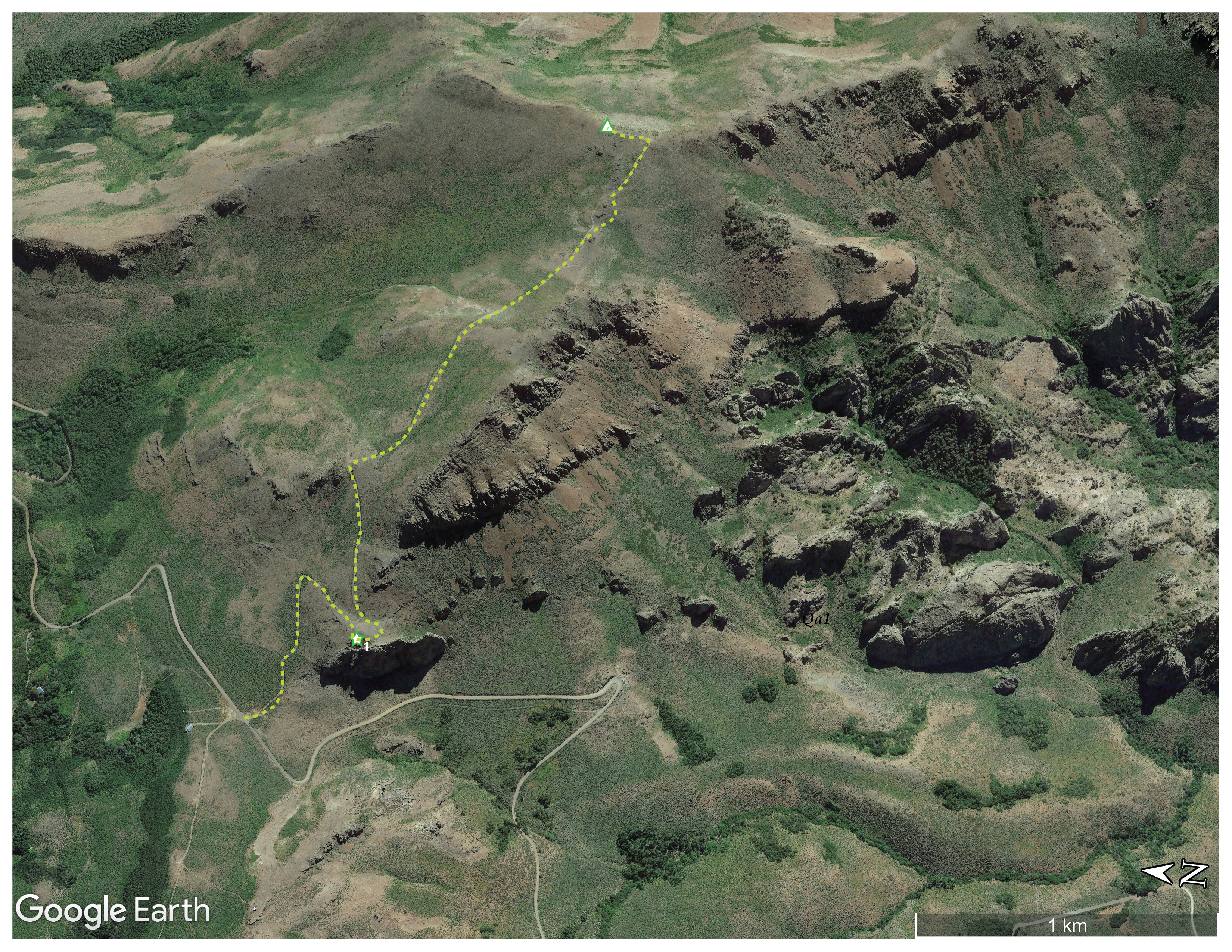
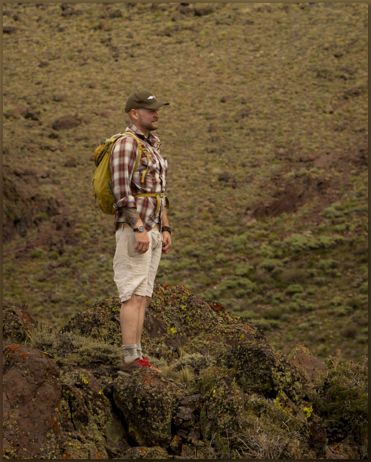
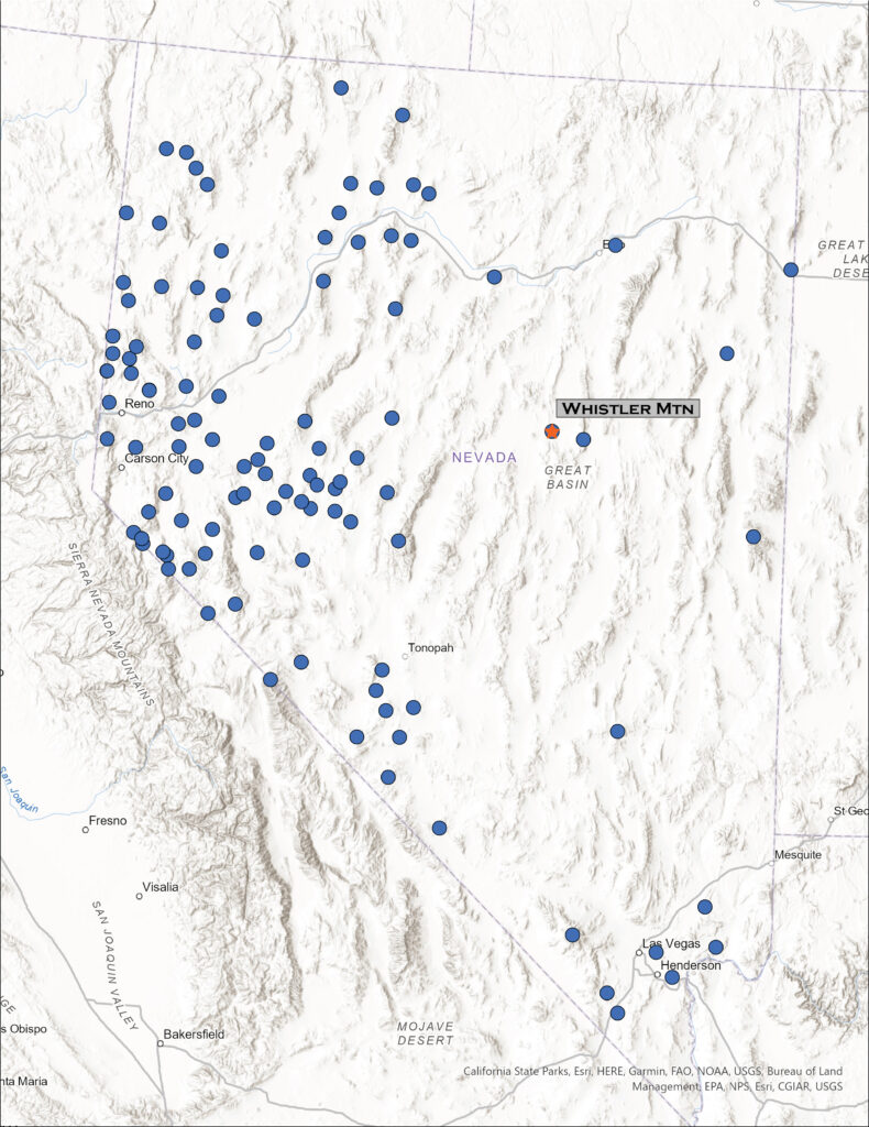
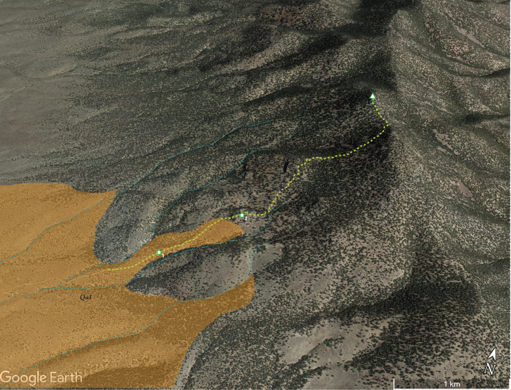
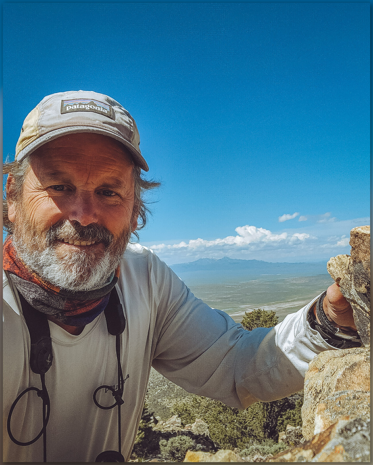
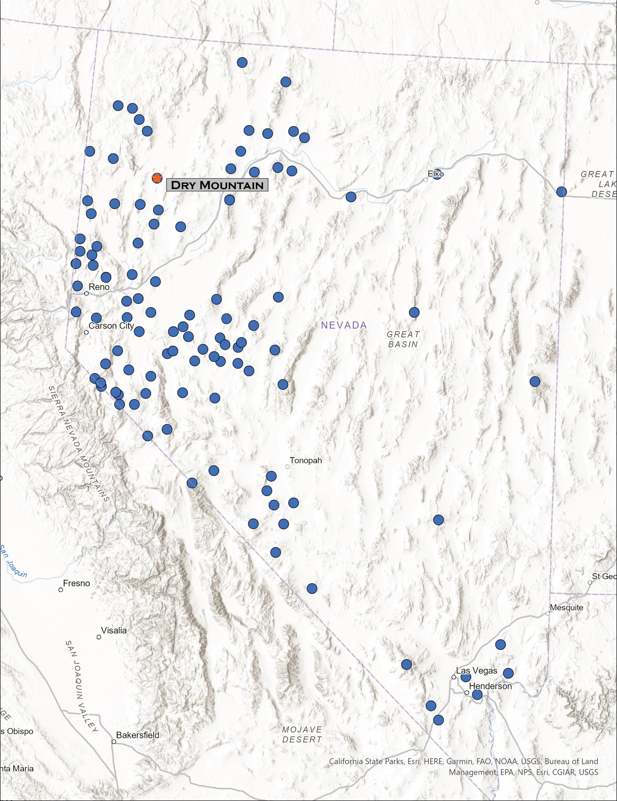
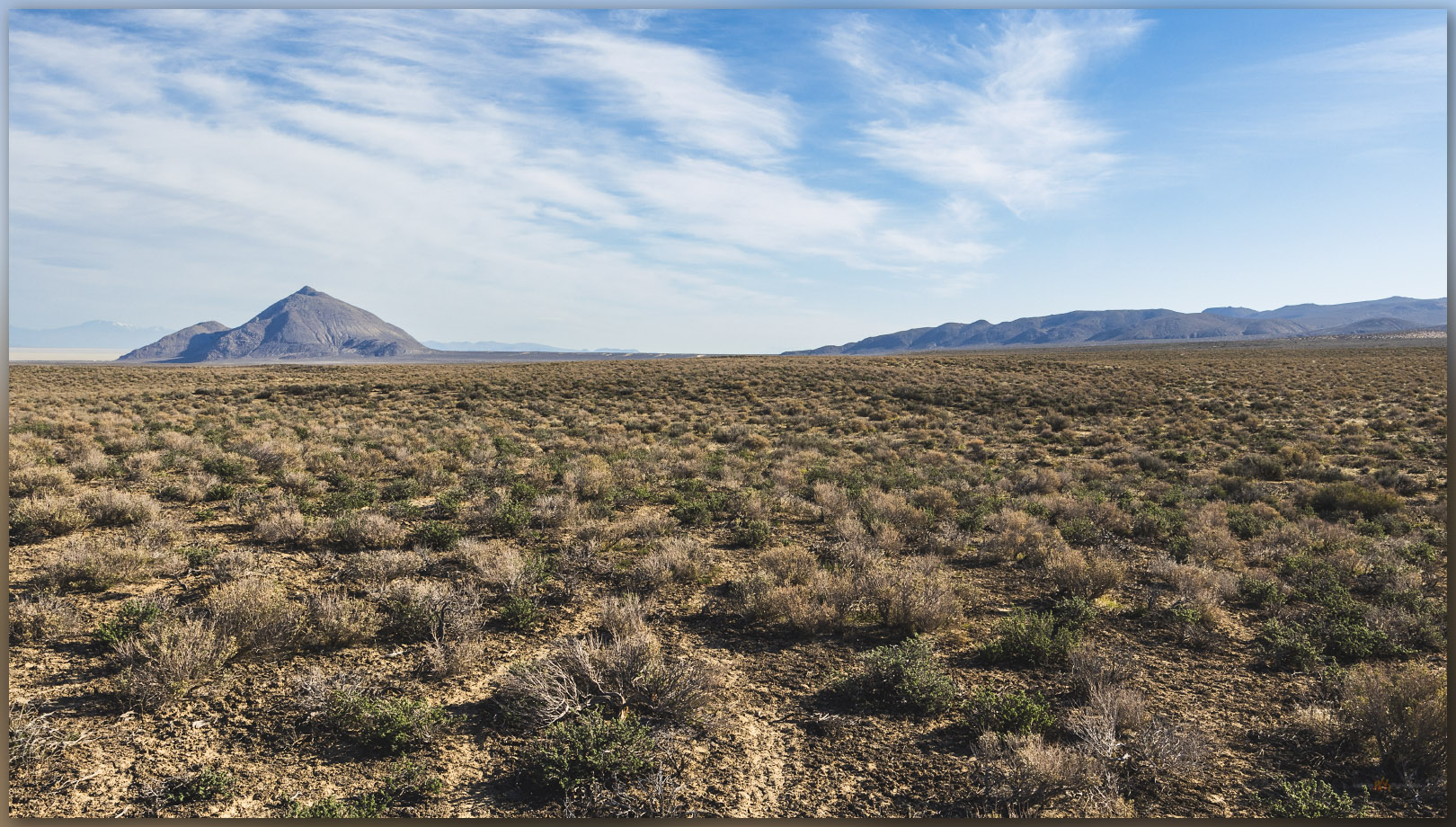
Following several days of landform reconnaissance along Highway 50, across central Nevada, I met Darren in Austin, Nevada, where he had been working with a crew recording archaeological sites in the Toiyabe Range. It was the end of a working field rotation, but we decided to take advantage of Second Friday, heading toward the Mountain Boy Range near Eureka. We skirted along the northern and eastern margins of the range on a well-used dirt road through Spring Canyon. This leads to the eastern arm of Spring Valley, tributary to Diamond Valley to the north, below the Mountain Boy Range and the much more prominent Fish Creek Range – I look forward to climbing to its high point at Prospect Peak.
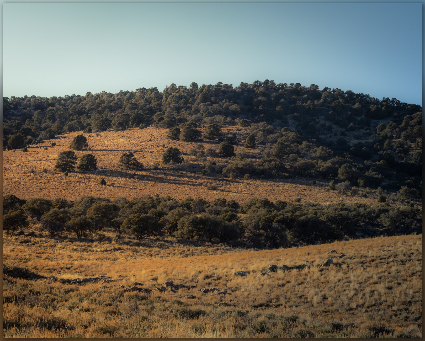
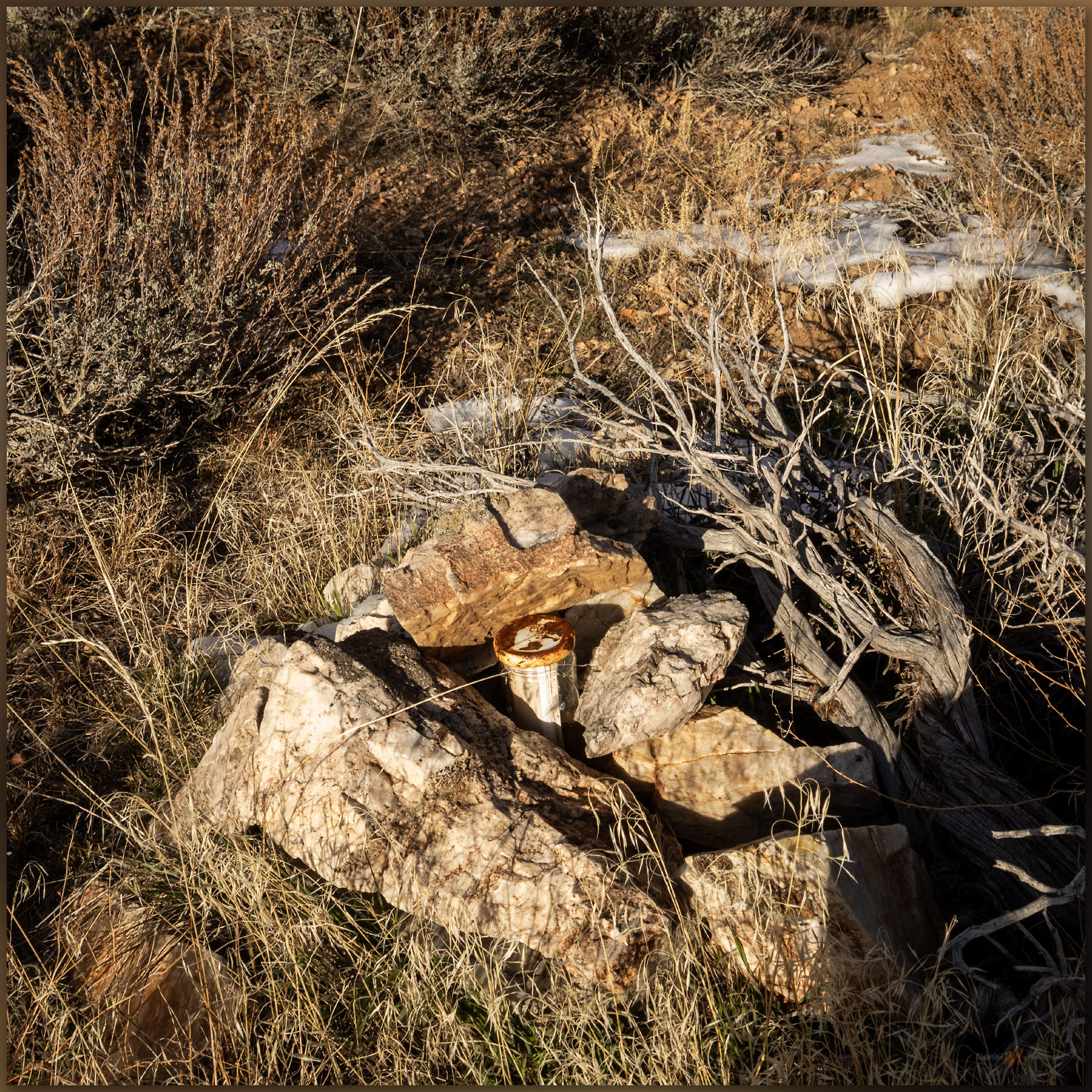
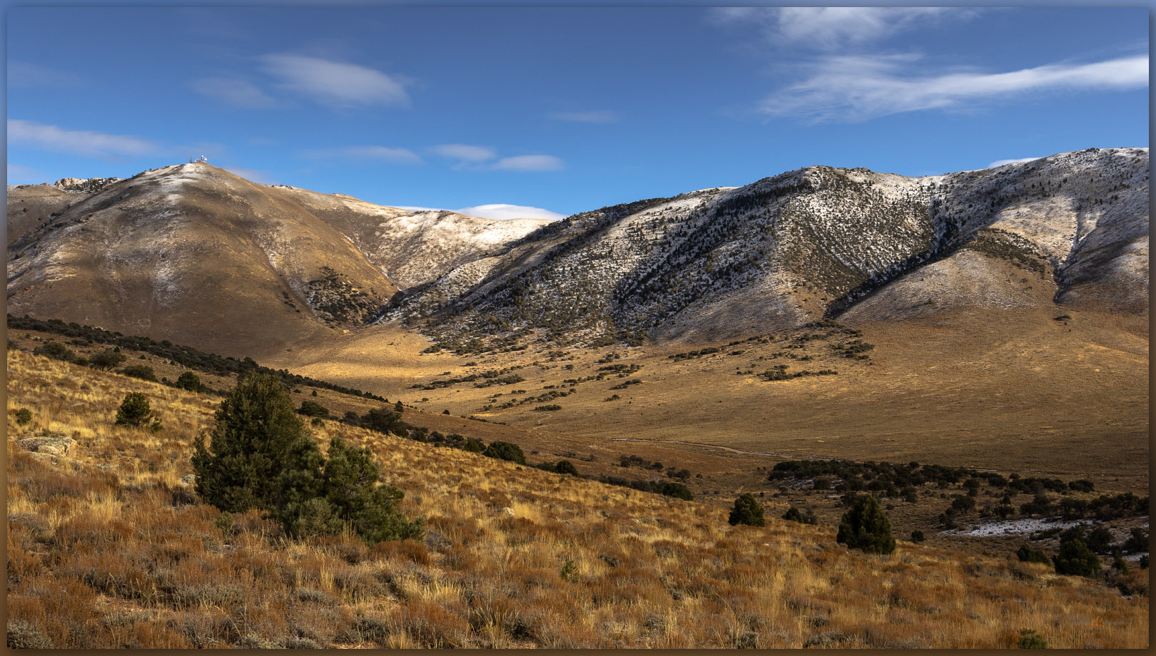
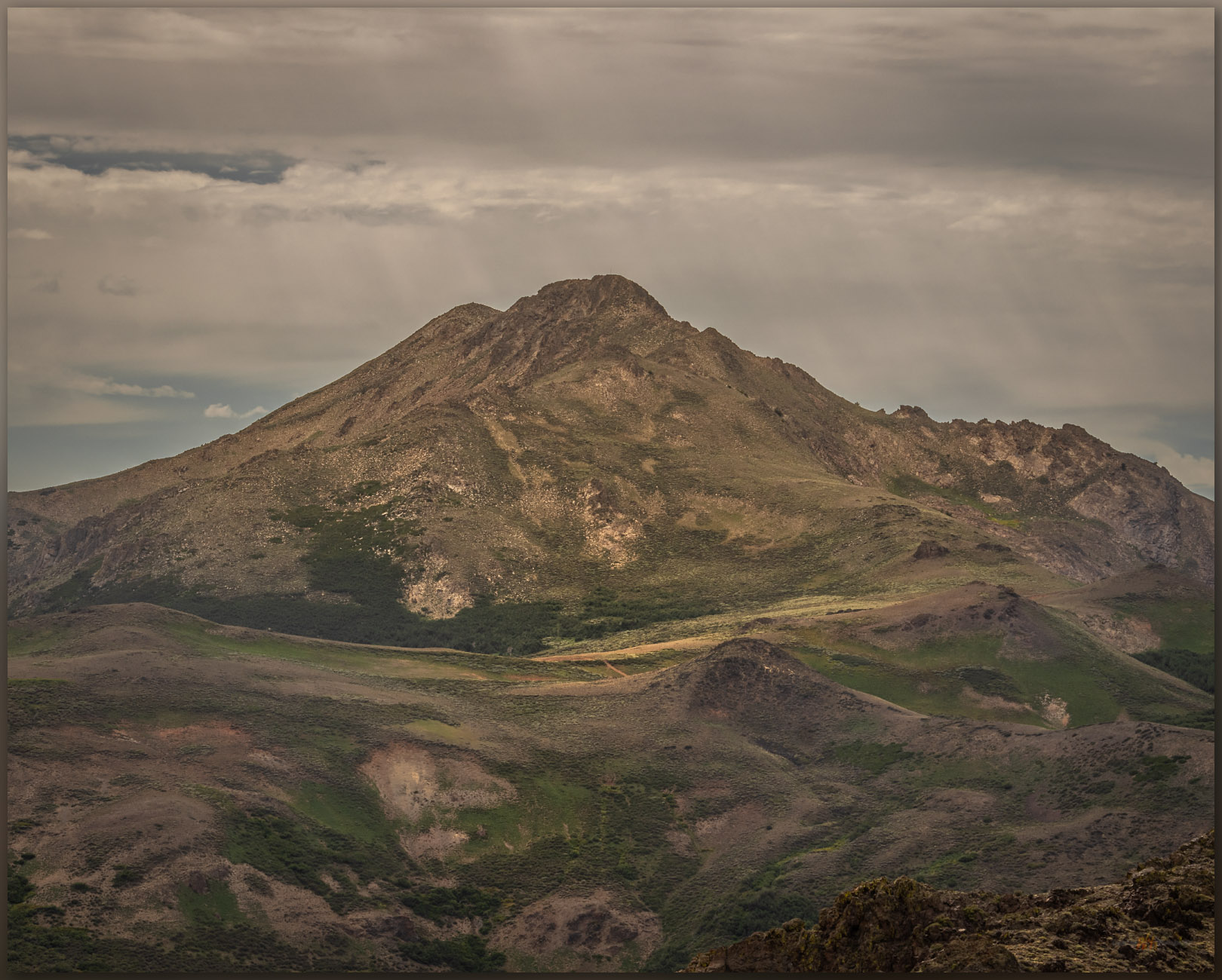
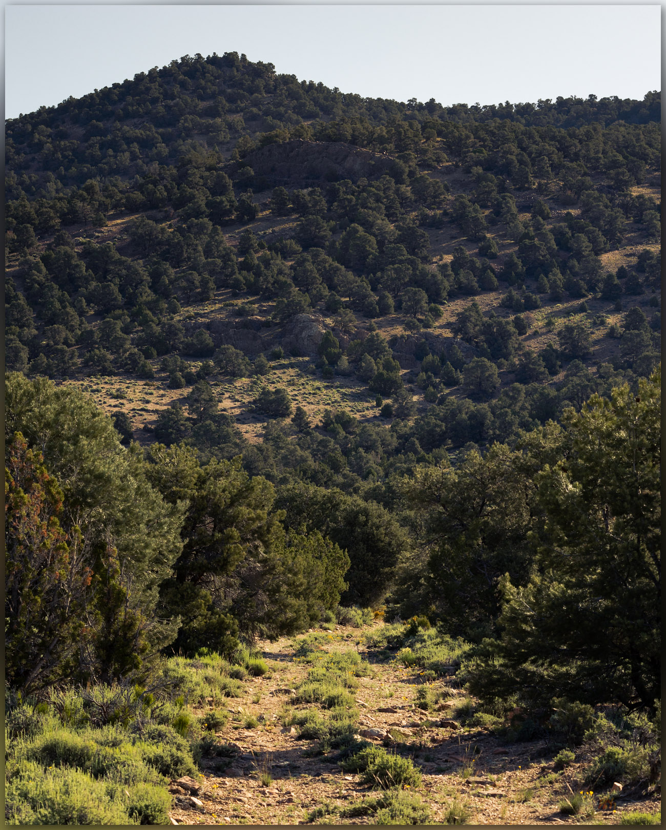
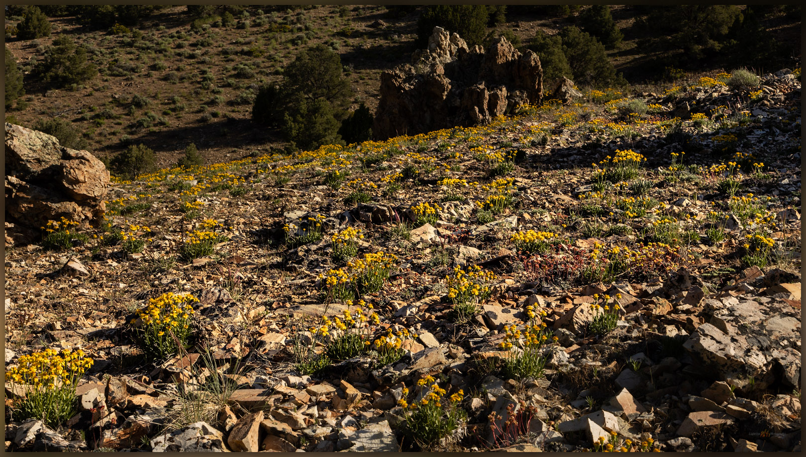
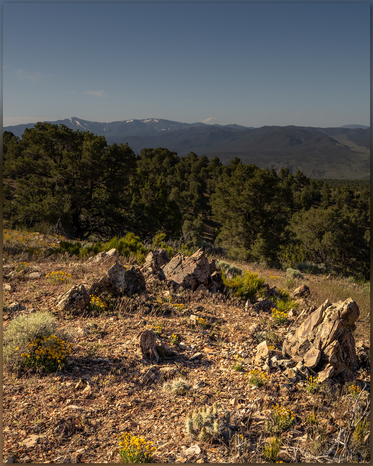
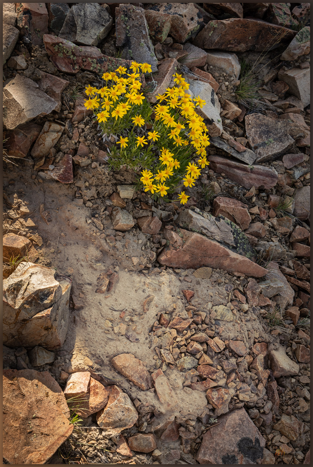
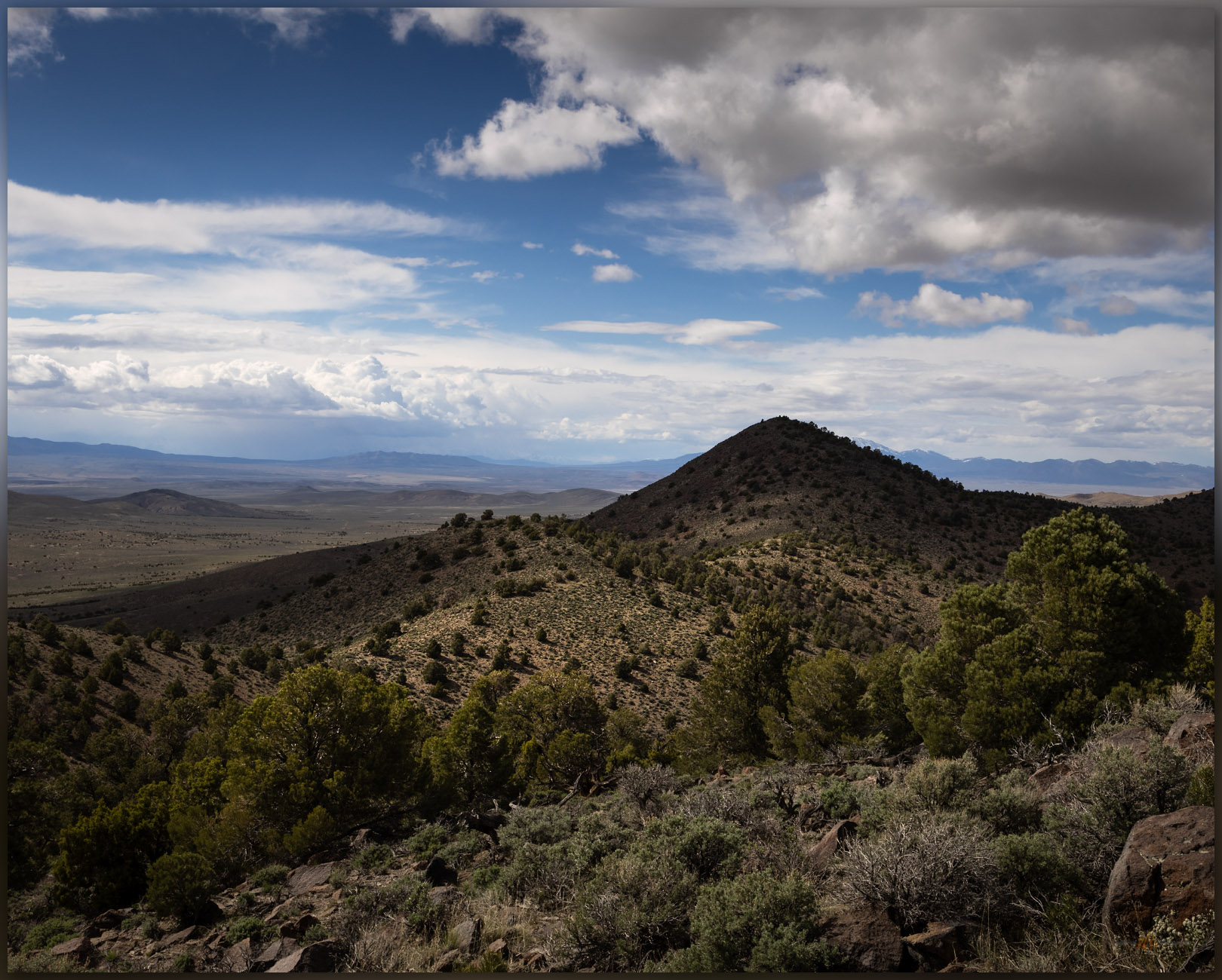
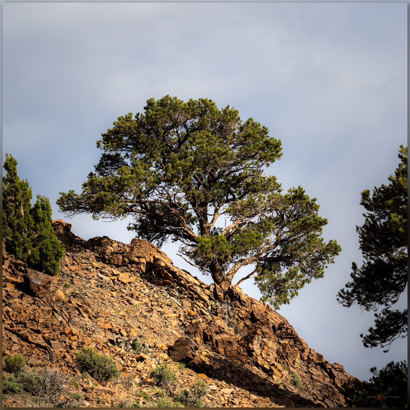
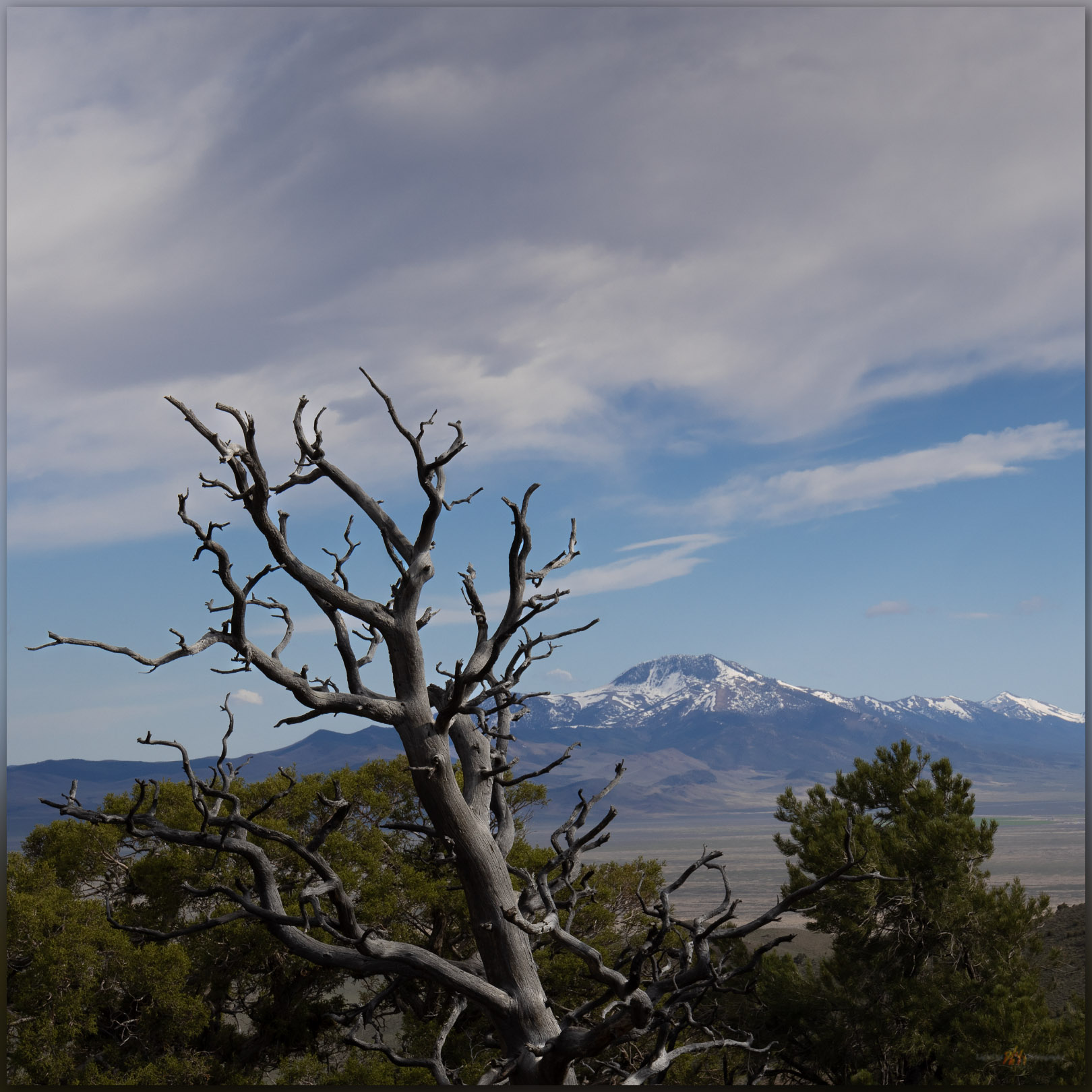
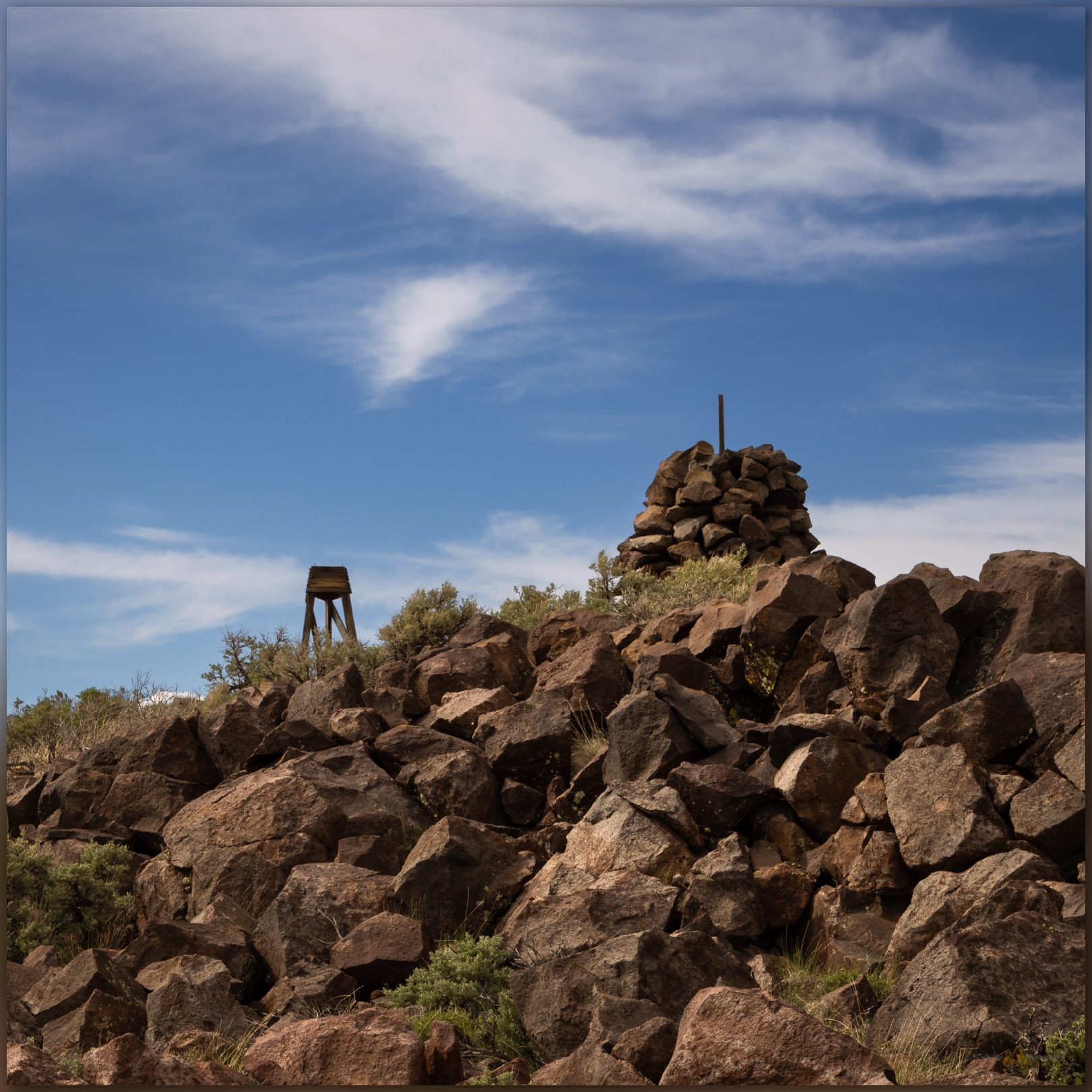
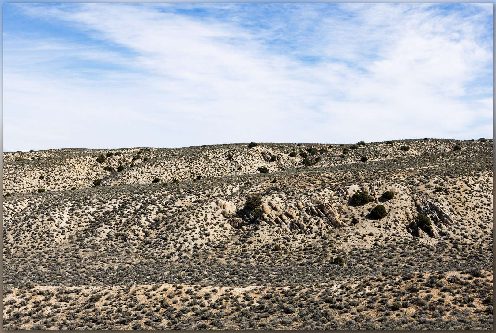
We walked the road for a while before turning uphill to the north. It is an easy wander through pinyon-juniper woodland, skirting new snow, to the broad summit at Peak 8083. Spanish Peak looks nice to east and it is a more well-defined ‘peak, but it is lower than the rocky plateau where the ‘peak’ of Peak 8083 is a misnomer. Moving back and forth from rock to rock, hummock to hummock, we had to search for the small cairn that held the summit register. Still, it was nice to be at altitude and get a walk in, once again, with Darren.
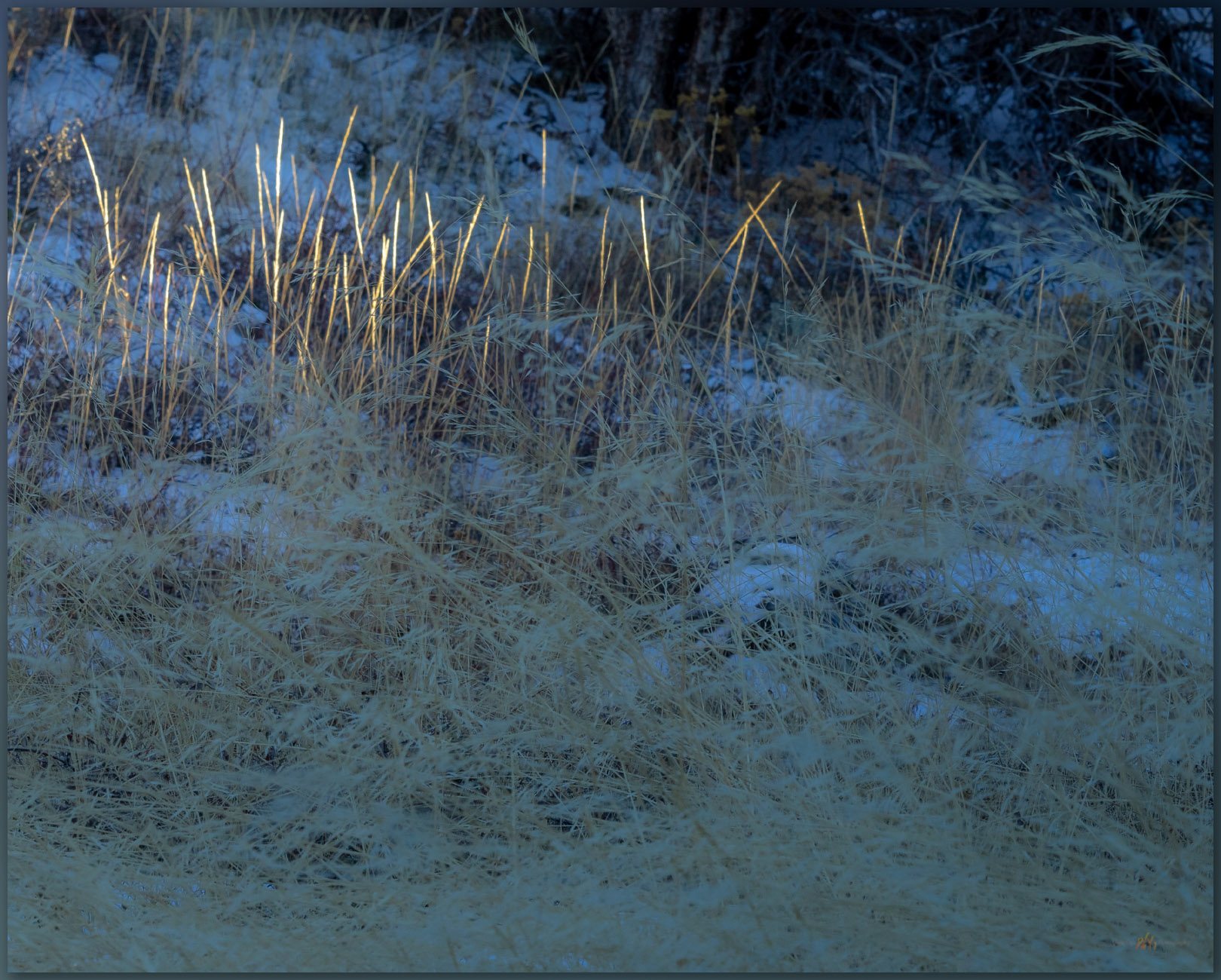
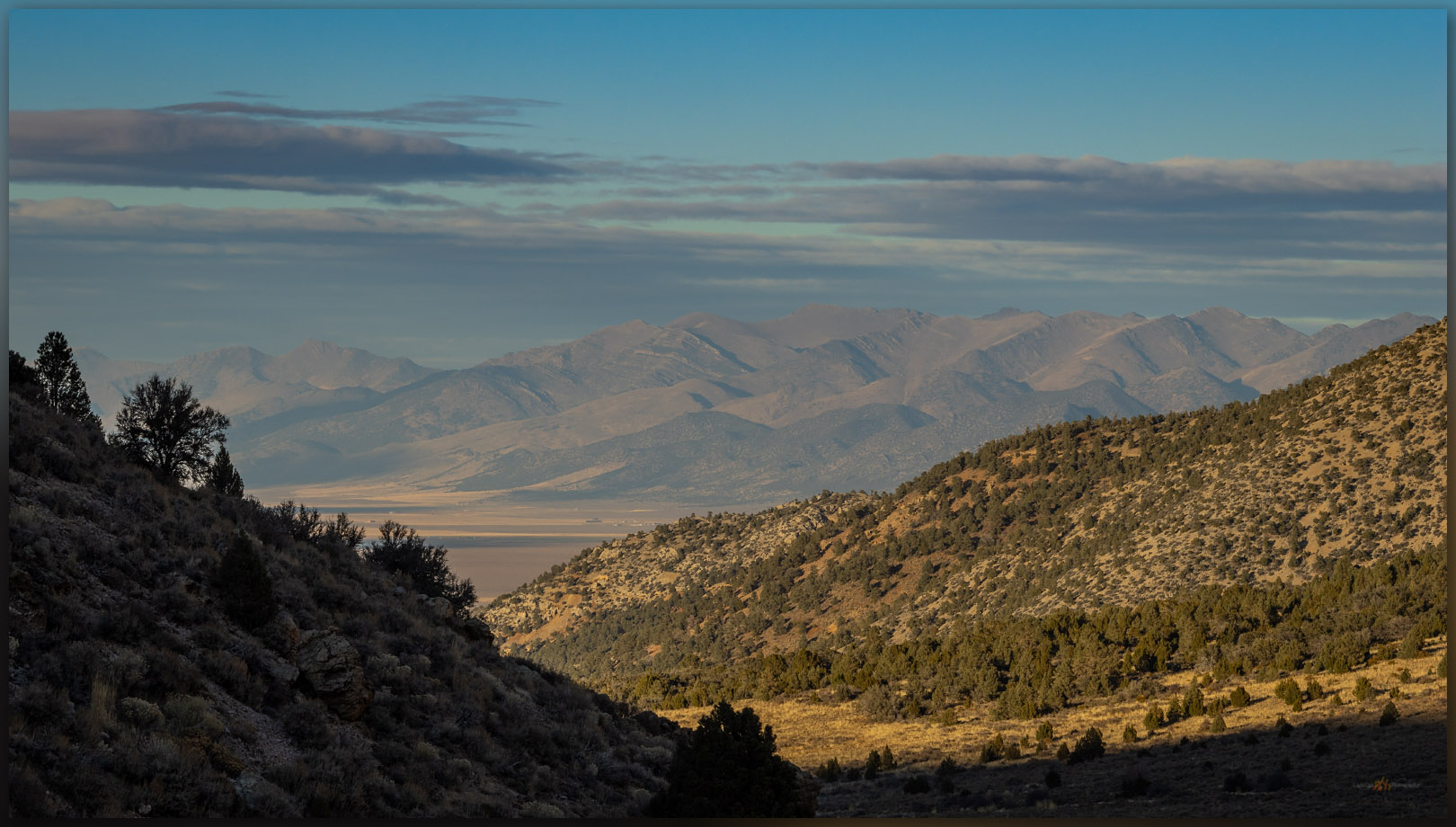
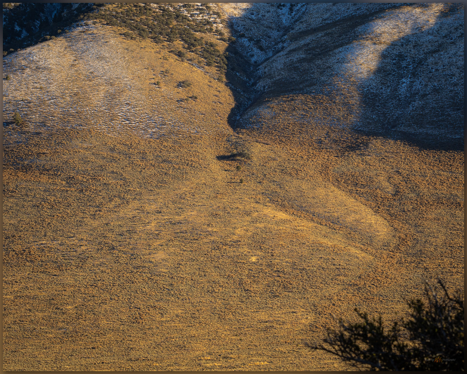
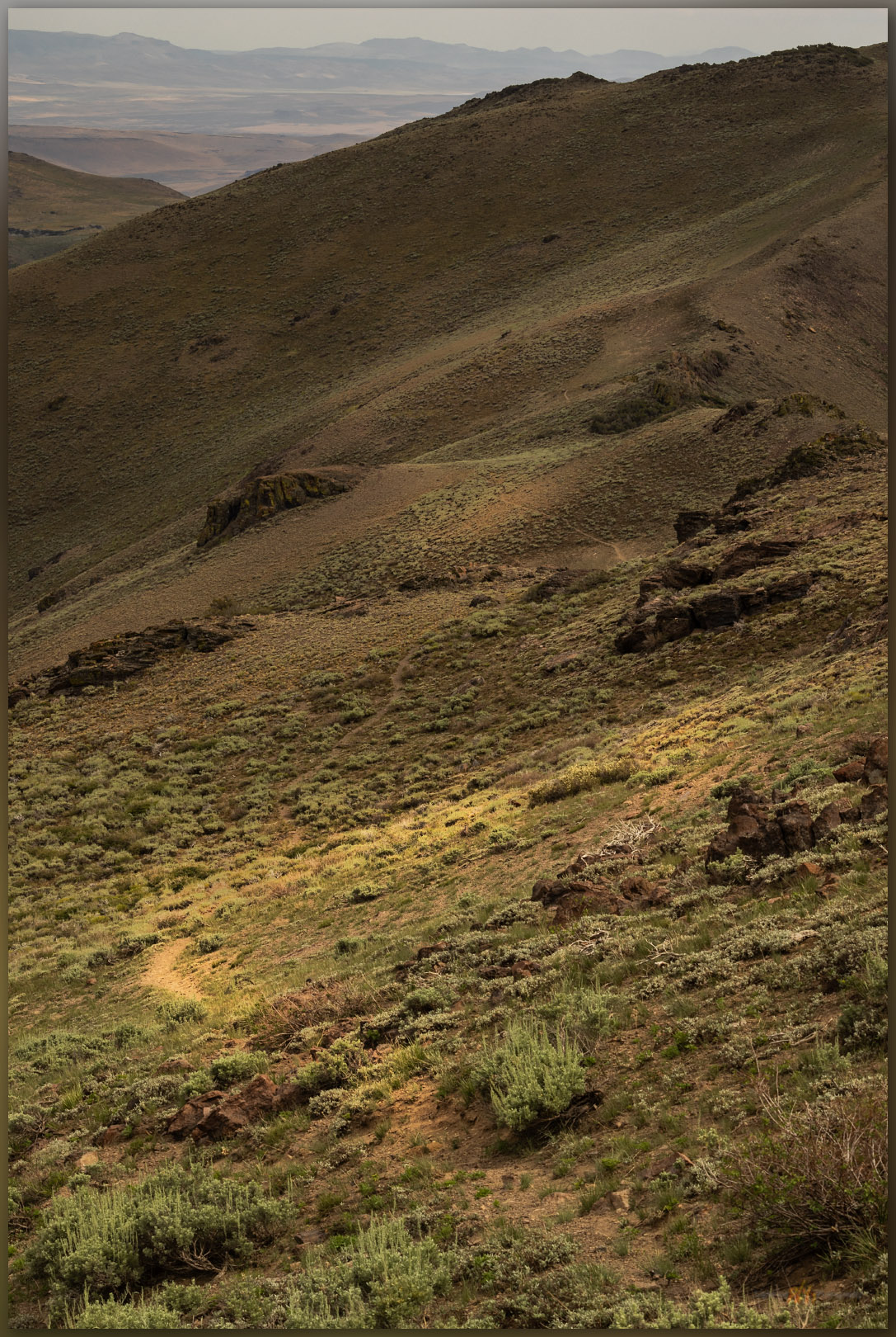
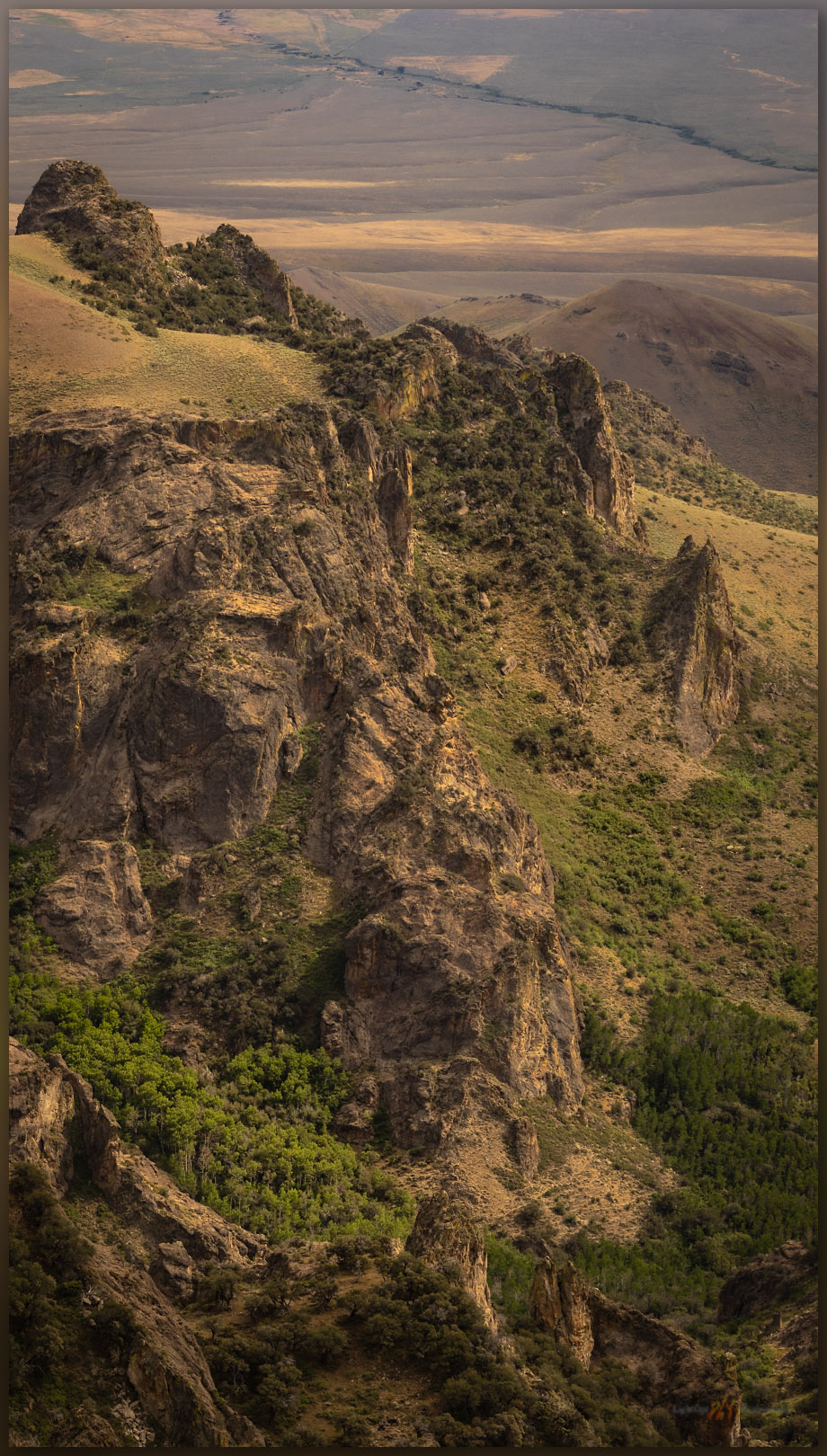
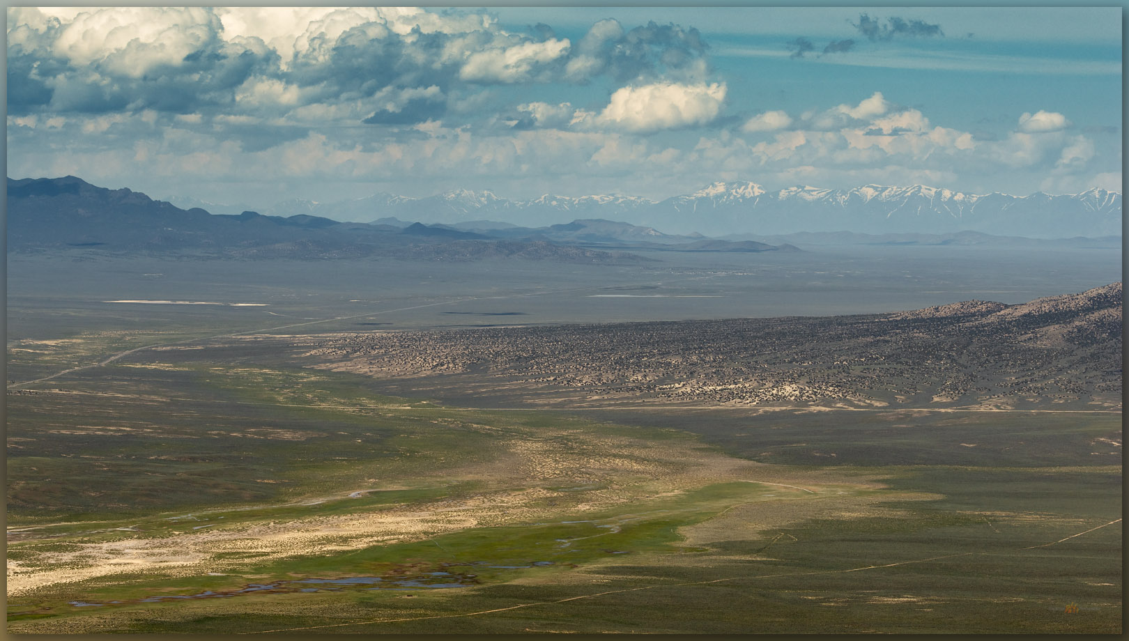
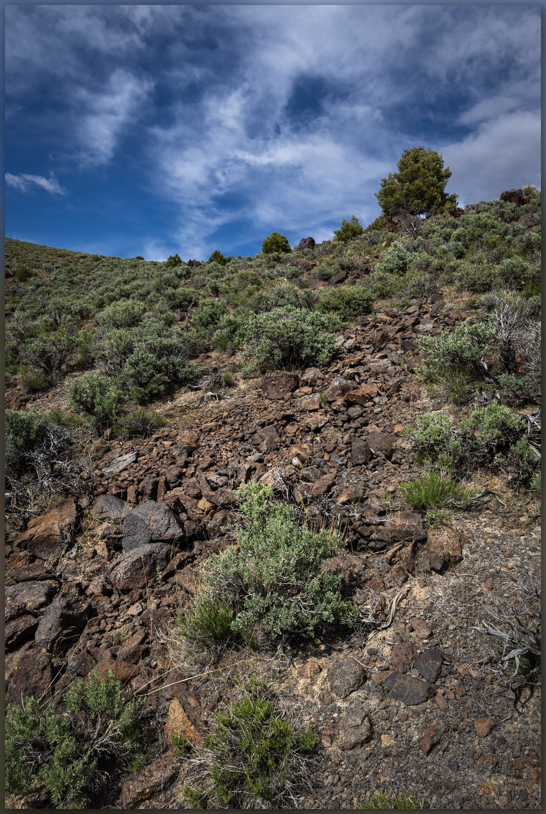
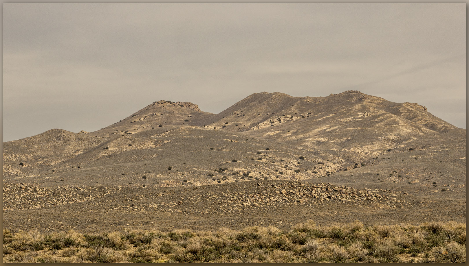
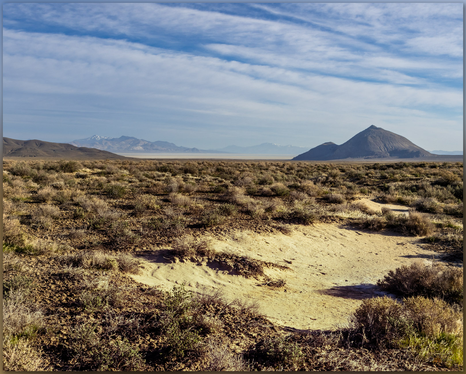
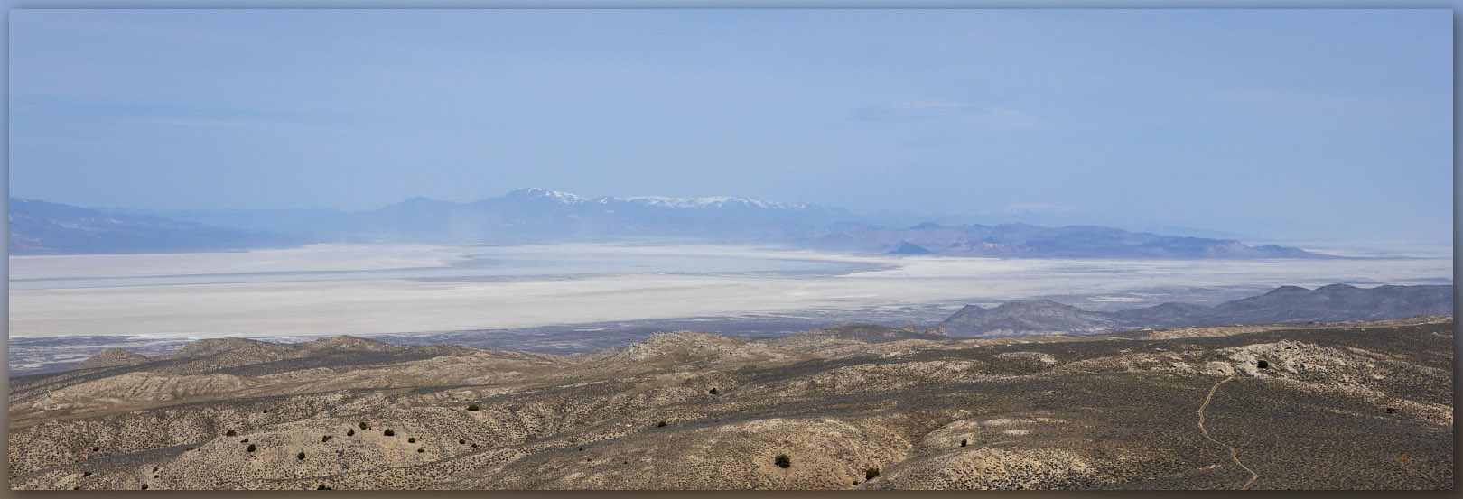
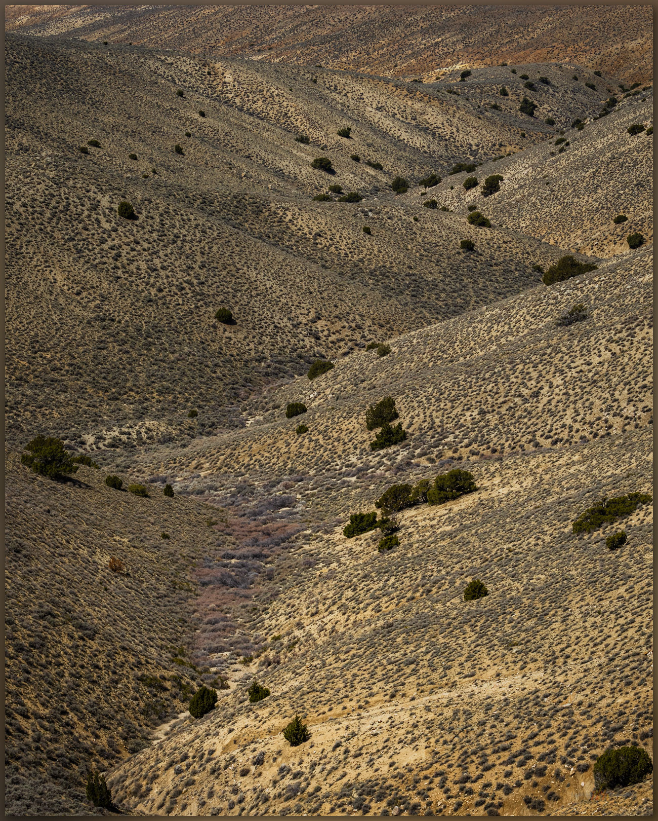
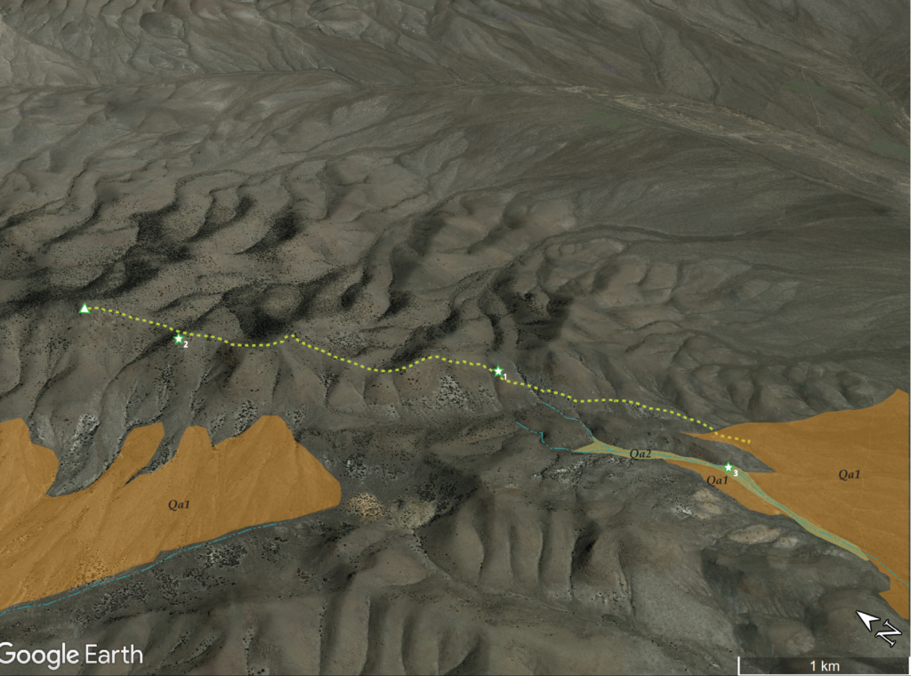
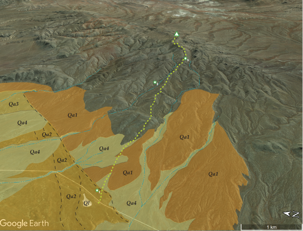
On the way down the south-facing slopes, after tracking through some snow patches following a coyote, I focused on the broad set of alluvial fans emanating from the Fish Creek Range. There is a lot going on there. I easily recognized a series of overlapping alluvial fans, their cross-cutting relationships clear in the contrast of golden-hour light; these would make a nice map. There are at least three ages of fan development along the mountain front. The oldest ones (Qf1) are generally smooth with younger fans truncating their ends, the youngest (Qf3) have rough surfaces formed of convex debris flows and intervening rills. Active drainages (Qa2 and Qa1) combine along the ends of the fans to direct runoff into Spring Canyon and on to Diamond Valley.
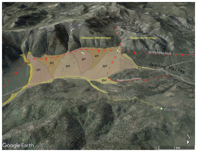
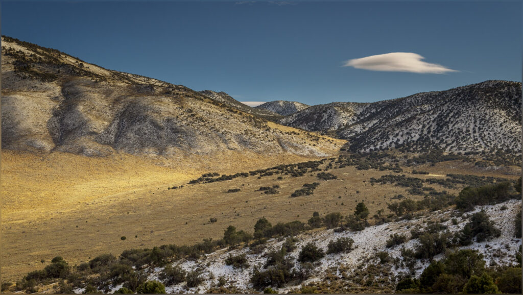
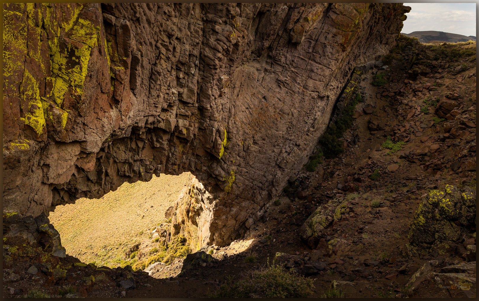
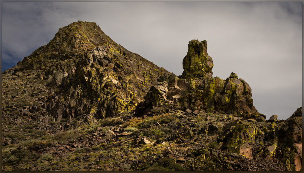
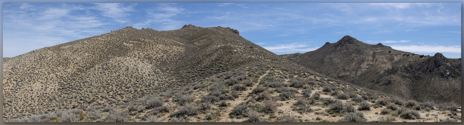
The fans originate at the foot of the mountain front where a typical normal fault – the Spring Valley fault – forms the valley footwall with the hillslope headwall lifting upward. But from the Mountain Boy Range, a unique break is evident in the rocks of the Fish Creek Range. The west ridge of Prospect Peak – toward White Mountain and beyond – is broken by a gradual, low-angle detachment fault formed as the regional mountain blocks tilt and drop in the long-term expansion of the Basin and Range Province. This is the Reese Detachment where Silurian (443 to 416 million years ago) limestones lay against Ordovician (488 to 443 million years ago) limestones and quartzites, the way books slide and fall as bookends are removed. It is a subtle change, as detachment faults are not typically as dramatic as the steeper normal faults that jump along the valley margins, but the change in rocks is very clear, here forming a small reentrant canyon where one of the younger alluvial fans begins. The rocks of the mountain are very old (100s millions), the Reese detachment is old (10s of millions), the Spring Valley fault is young (a few million), and the fans are younger still (10s of thousands to today). It is a fascinating picture, time holding still (at the day’s scale), evident on a simple walk traversing from an unobtrusive high point to an axial valley, watching the opposite hills rising to a mosaic of landforms and rock units.
Although I recognized the alluvium of the valley margin as we walked, the bigger picture of time and space only opened to me as I looked into a set of maps to see where we had been. I had slowed to take photographs along the way, pointing my camera at patterns that caught my eye. The mountains are wonderfully colorful, but they became even more wonderful as I pieced together the puzzle collected in the regional maps of the USGS. This is yet another way that the landscape shares its wonder, even when the ‘high point’ of a small group of hills is neither as prominent nor as dramatic as its neighbors. Our curiosity pays off once again.
Keep going.
