A long reconnaissance beyond Tonopah, NV, traversing south of the Reveille Range and into the playa of southern Railroad Valley. I located good access to the playa of Sand Springs Valley near Rachel and then moved on to Alamo, NV, to check in at a small motel. It’s a small strip motel, family-owned, old and a little sad, but really pretty nice. Right on the noisy highway but room is set back and perfectly quiet. Vern, the owner/manager, said I might be able to park my trailer if we are working nearby, he has one hook-up that sometimes works.
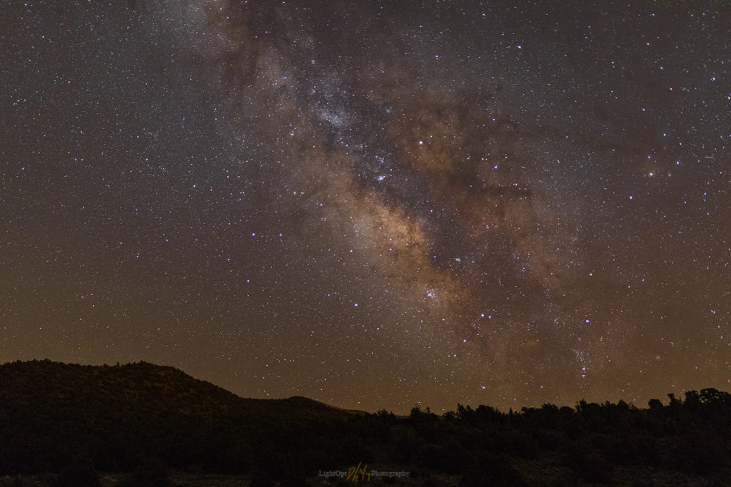
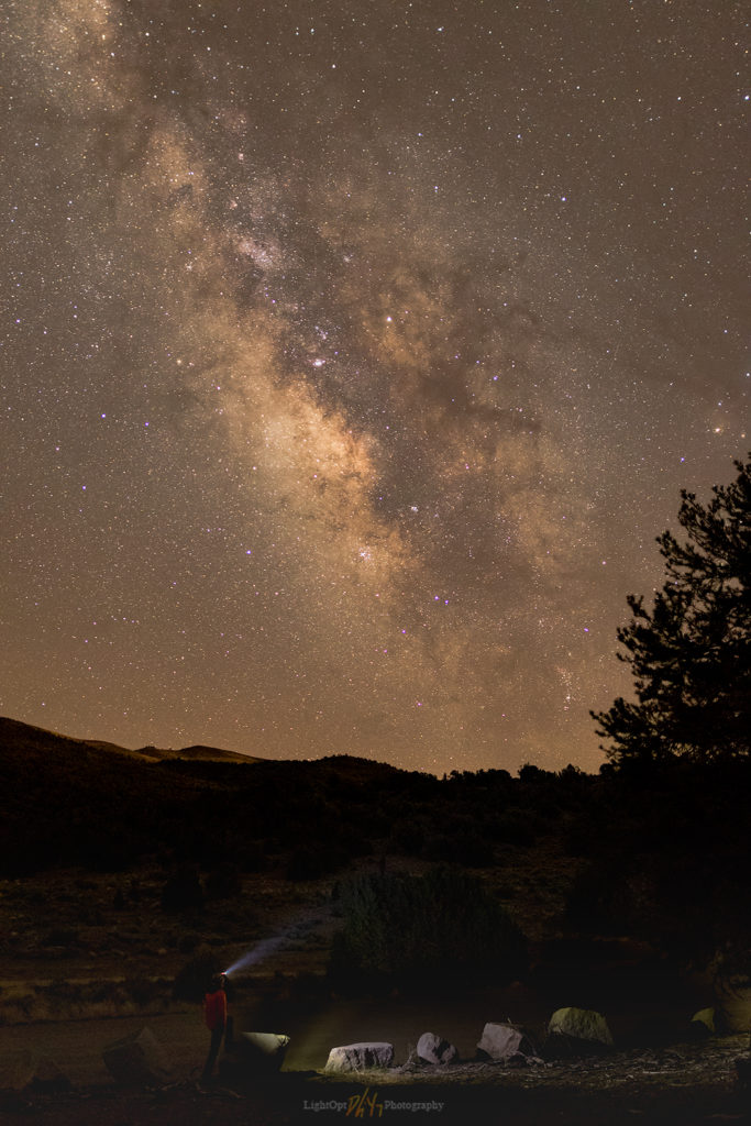
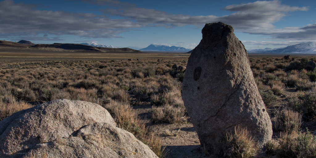
It’s close to the new moon so I headed out to Dry Lake Valley late in the evening. I left the hotel about 9:45PM, fueled up, and pointed the truck down the dark highway. I’m in the area mapping and investigating desert loess (fine-grained dust) deposits and had scouted out a cool spot for astrophotography earlier. I liked the spot because of the prominent outcrops that extend toward the valley floor. These would provide the foreground subjects as I experimented with low-level lighting to illuminate the outcrops, alcoves, and even some ancient rock art panels.
The drive was longer than I remembered, and I overshot my turn with a big-rig bearing down on me. After a quick turn-around, I was there. A perfect, calm evening, finally a warm one. Bats circled around me as I set up some lights. From the rocks above me, in an alcove beyond the rock art, a haunting songbird called in a steady repeat—once every twenty seconds. It’s probably a whippoorwill or something similar.
Dry Lake Valley Night Collection
The small tripod-mounted lights adjust to emit a very low amount of light. While composing the image the light is almost impossible to see, but in a long exposure to capture the night sky, the light works nicely to create foreground interest. I have to take several practice shots to make sure the levels and direction of lighting works. It’s more controlled than light painting and works over relatively long distance. I learned about it on the PhotogAdventures Podcast and thought I’d give it a try. I’m not an expert at this (it’s my first time), but it has definite potential.
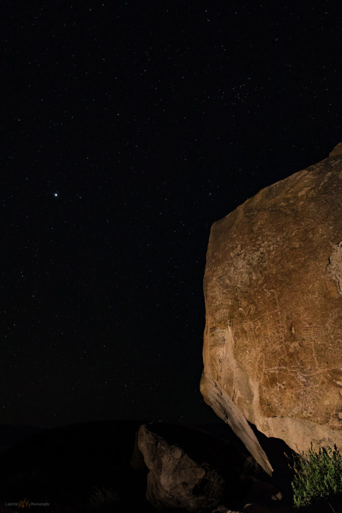
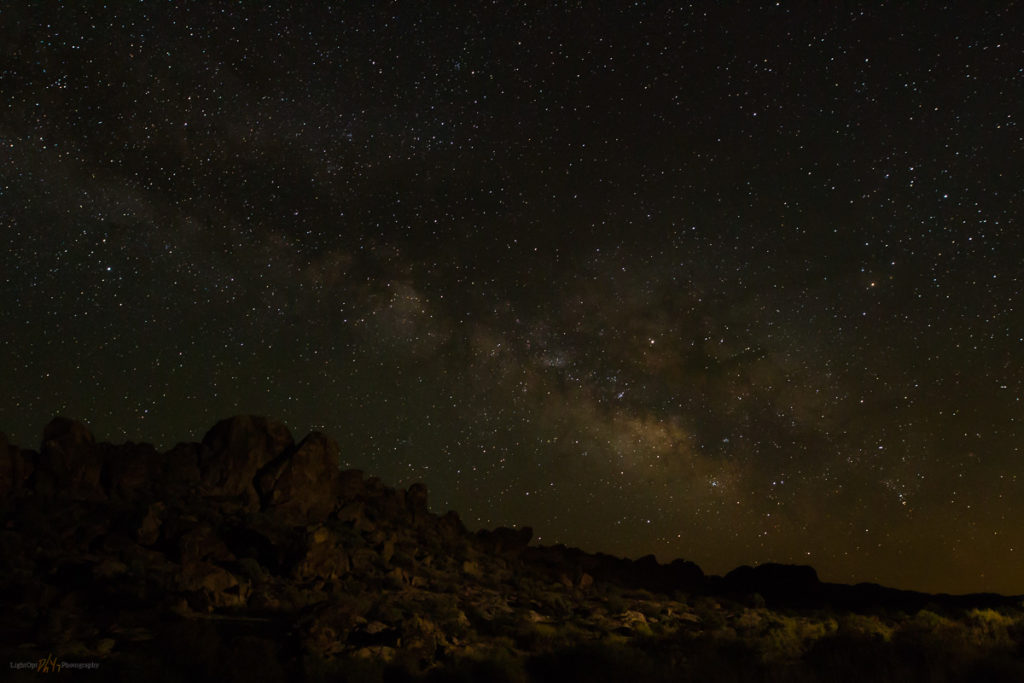
My images don’t really pop, but I like the rock art against the starry sky. A long perfect night in the darkness of Dry Lake Valley. Tomorrow will be a long day.
Dry Lake Valley Night Collection
Keep going.
