
Storms looked promising over the central Great Basin, as weak monsoon moisture drifted northward. It is Second Friday, and I am focused on a long traverse, almost 150 miles, linking Antelope Valley with Stone Cabin Valley. Wandering the alluvial fans and pediments between the Monitor Range in the west and the Antelope and Hot Creek Ranges in the east, it is one of the longer north-south traverses missing from my Nevada maps.

I leave Highway 50 turning south into Antelope Valley. A vast expanse of coalesced fans extends into the distance, their surfaces stabilizing, older and older, as I work my way up-fan and southward. I climb a rough, sometimes graded road to a pass into Dry Valley. Pinyon and juniper woodlands close around me, the road damp from last night’s rain. Dry Valley and Sevenmile Wash drop into Little Fish Lake Valley where storms begin to pop along the indistinct break between the Antelope Range and the Hot Creek Range — the break seems structural rather than elevational although there is a subtle pass at Long Canyon. I stop to watch the clouds at play.
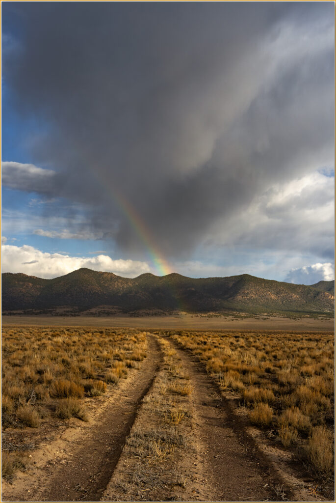
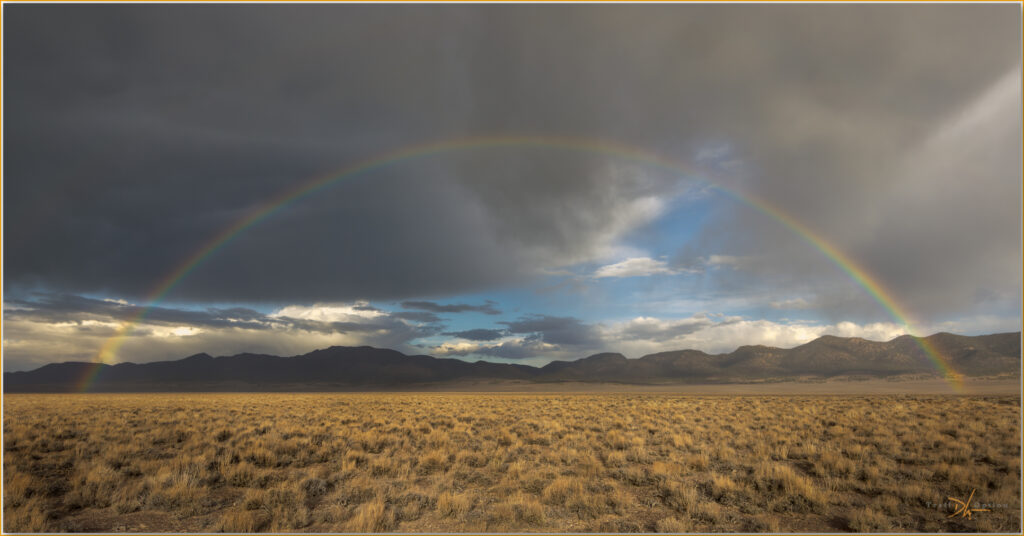
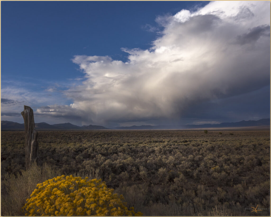
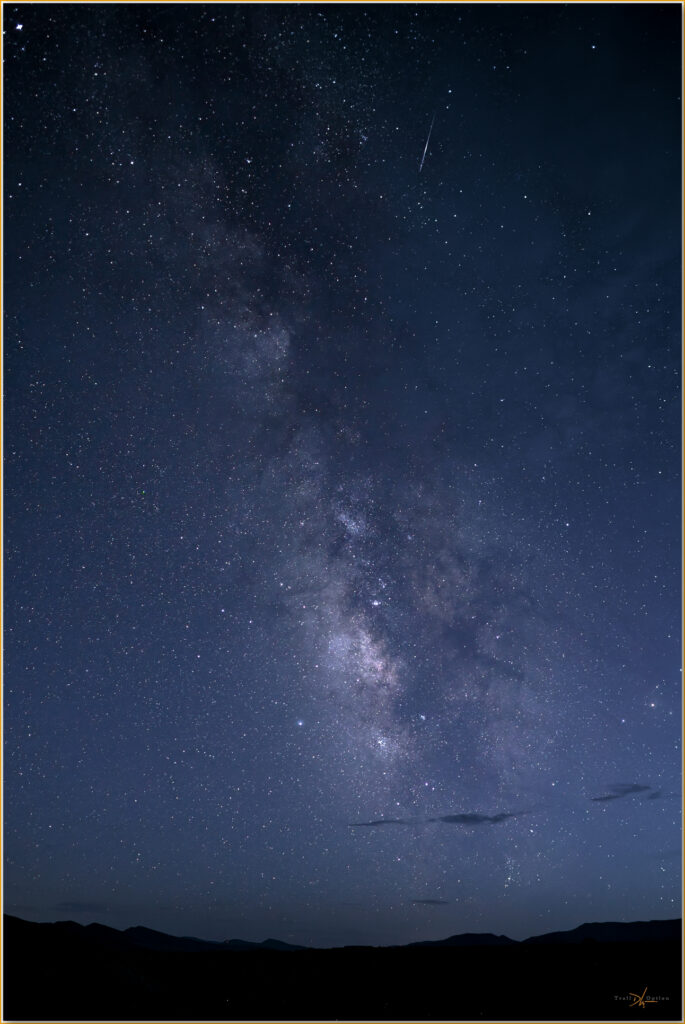
The skies have cleared by the time I set camp at Upper Fish Lake, where I watch a few wading birds and listen to the coyotes who seem to be denning near Warm Spring on the opposite side of the shallow lake. With the sun setting earlier as we move toward the fall equinox, the guiding constellations — Sagittarius and Scorpio — surround the galactic core of the Milky Way come into view. I am going back in time a bit, using a Canon 6D and its nice sensor to revisit astrophotography again. I lack a compelling composition, but this is practice, getting my hands around a camera I have not used in a few years.
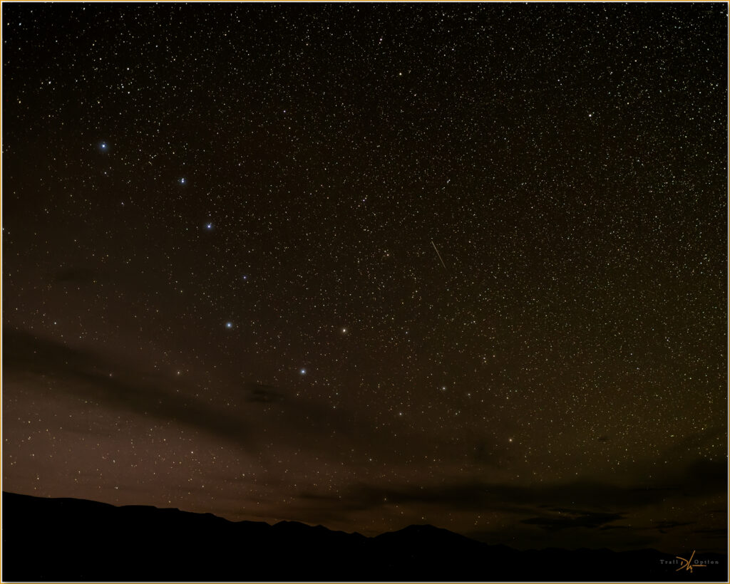
In the morning, I traverse the amazing Box Canyon before climbing to McIntyre Summit and into Stone Cabin Valley. I push along a long bajada to reach Highway 6. I can continue the extent of the valley after an eastern detour to avoid private lands. The boundary of the Tonopah section of the Nevada Test and Training Range turns me back toward the Monitor Hills (a high point excursion earlier this year). I regain Highway 6 in Ralston Valley where I turn west on pavement toward Tonopah.
Keep going.
Please respect the natural and cultural resources of our public lands.
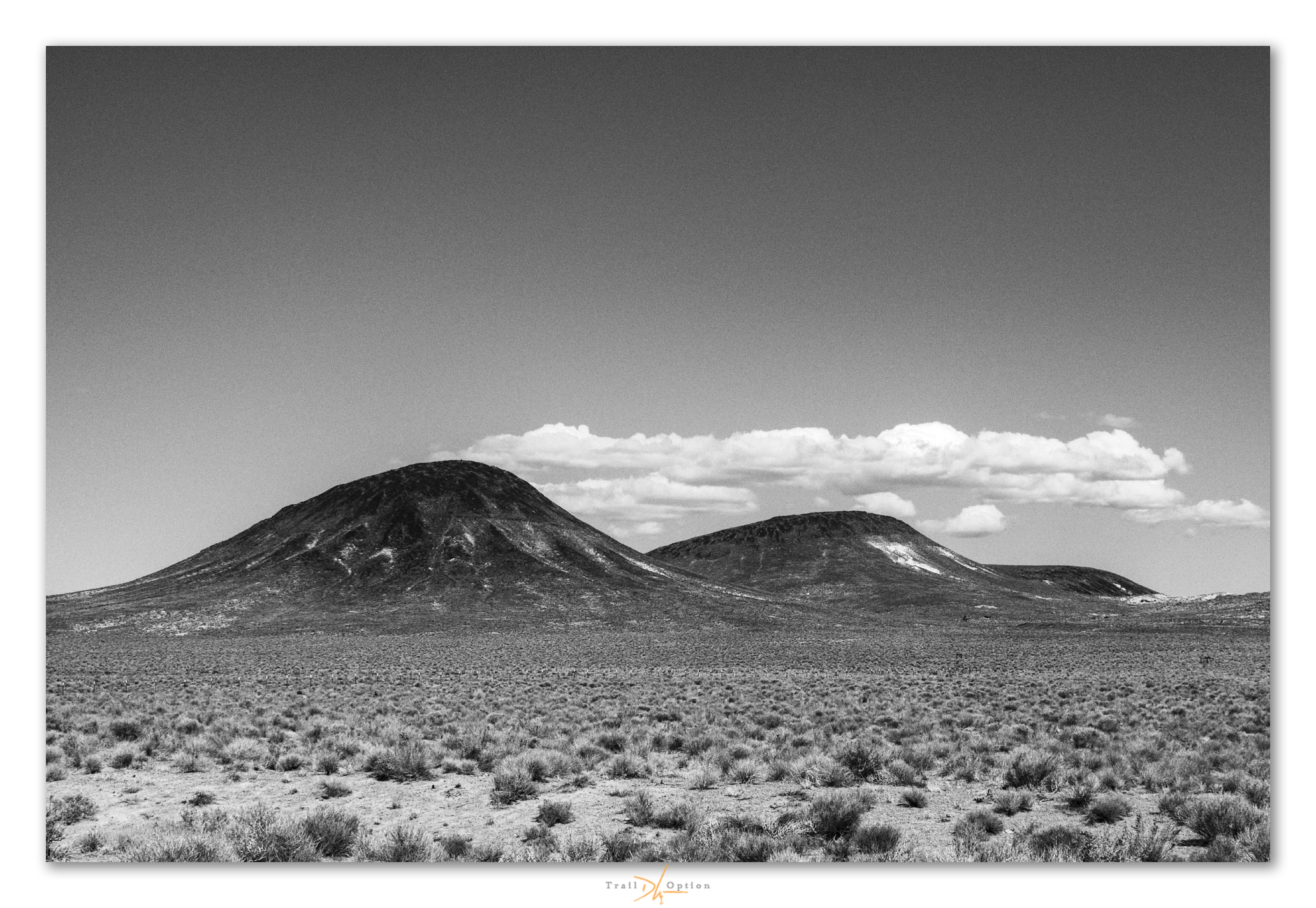
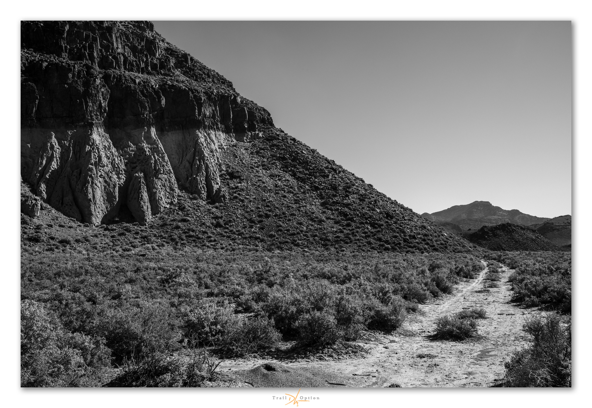
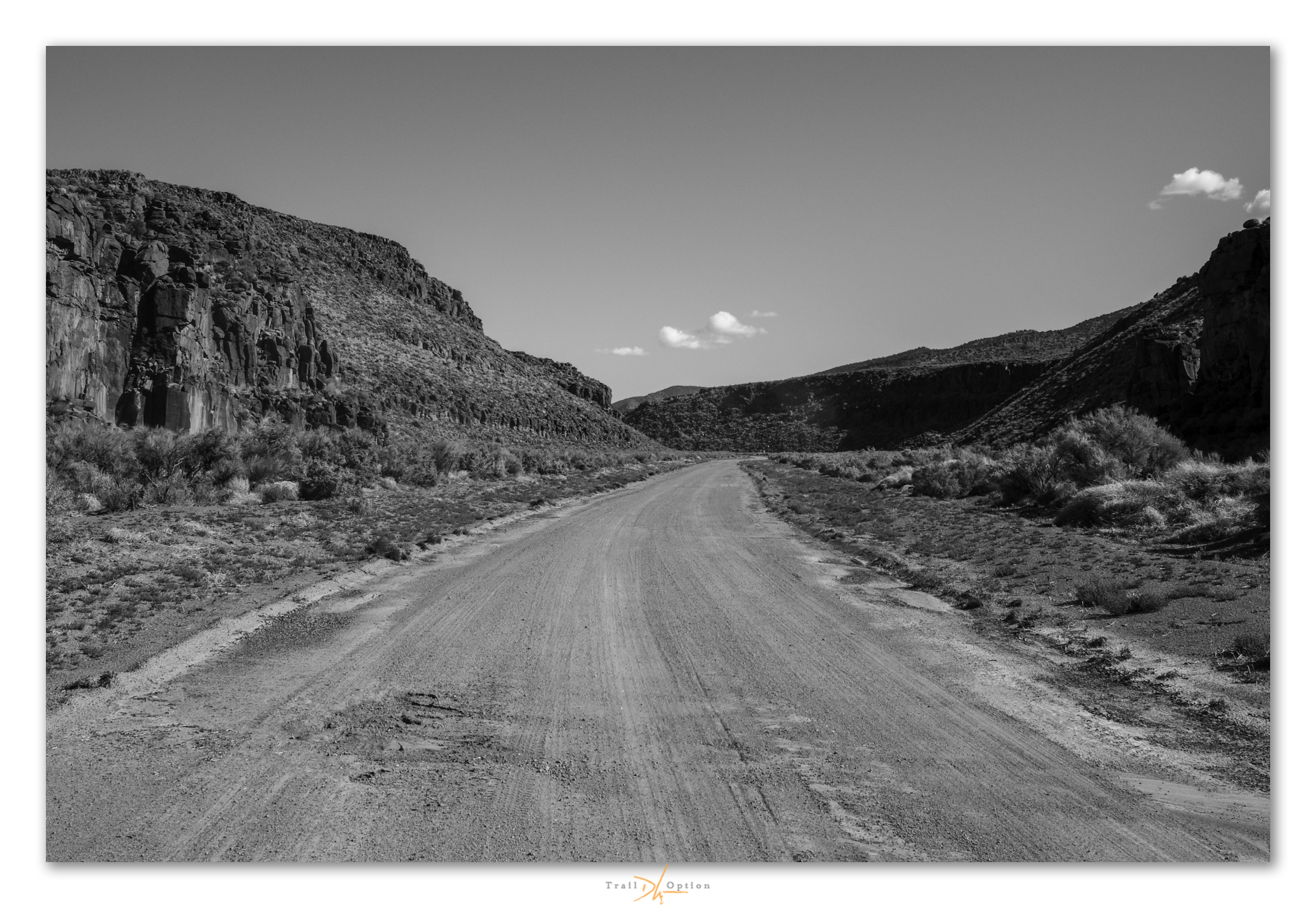
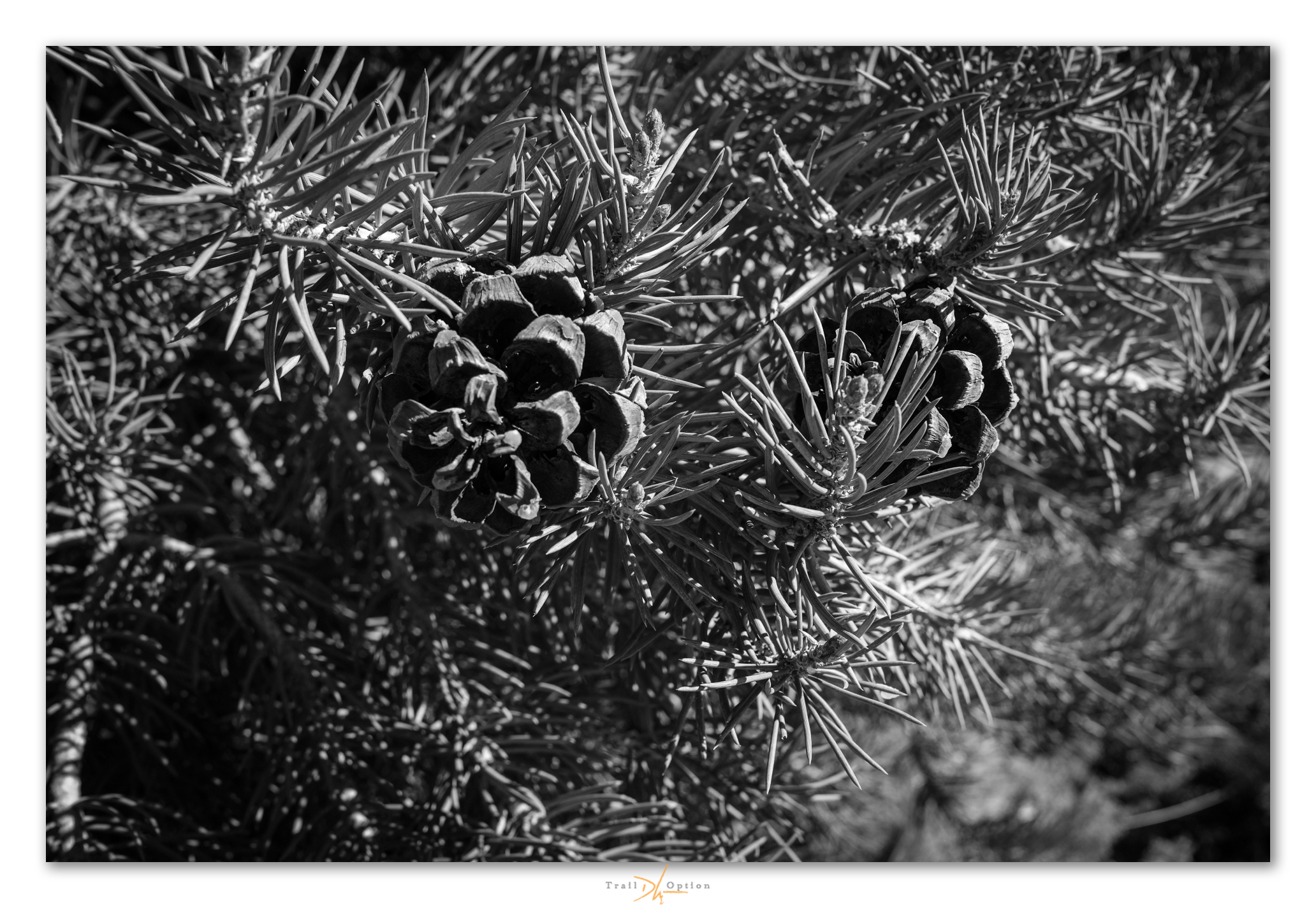
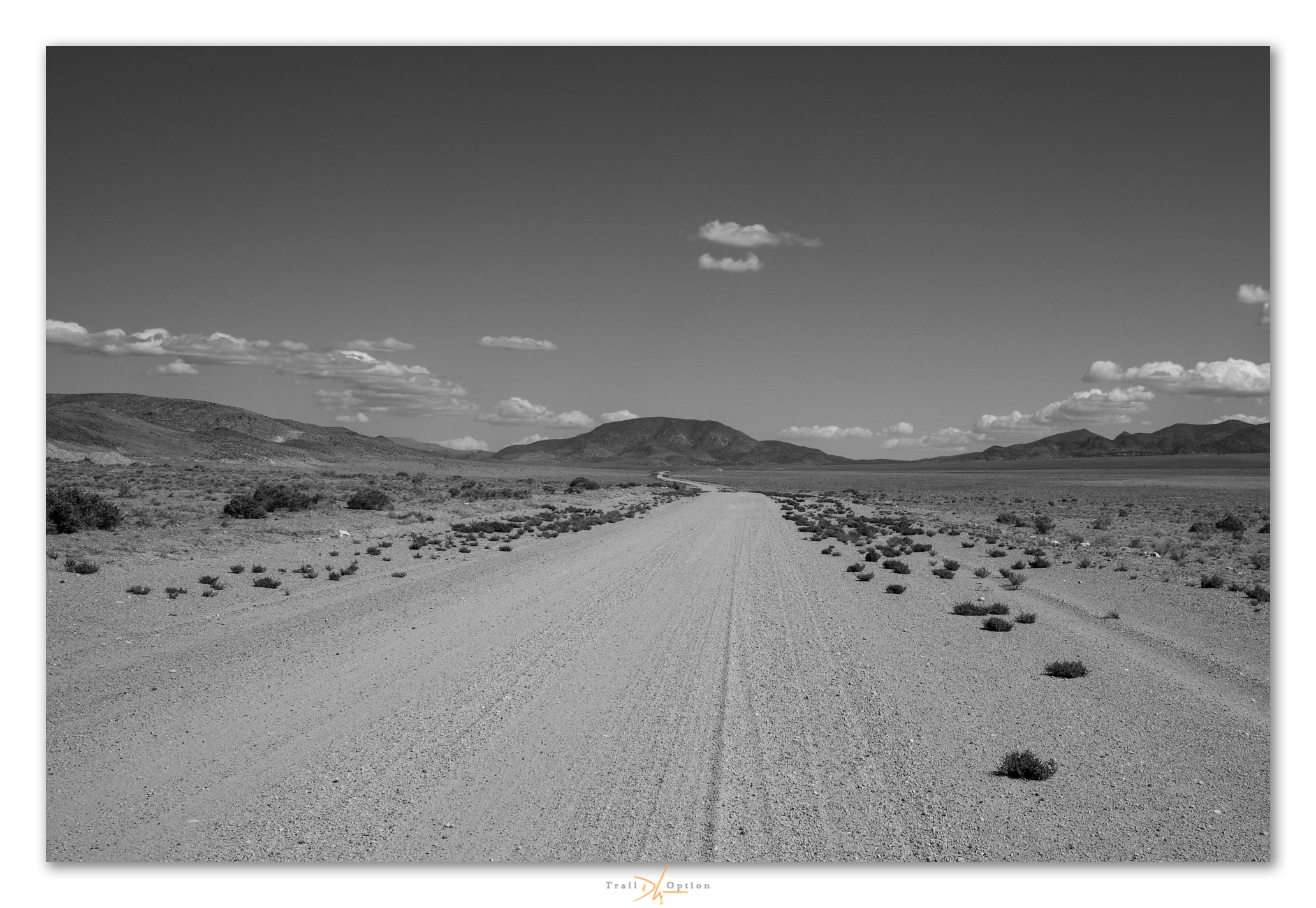

The recce roadside in black-and-white imagery
“These images and words are a reflection, simply and wholly, of my respect for our public lands and the public science and occasional art I am, and we are, able to do there. Our ability to create and think are not trivial, and wild space and healthy ecosystems nourish such things. It is here that we will find our better selves, even as the misdeeds of a few threaten much that, until recently, provides for our common good. Keep going.“
Again, I just love what you do and how you do it. I get to travel Nevada, this time, from Quebec City Canada 🇨🇦. And see its skies, as it is foggy here, which has its own appeal. Keep going. See you soon.
Thank you as always Marta. Hope you enjoy Canada, an cool time to be there in many ways.