• Skip to primary navigation
  • Skip to main content

Trail Option

A personal geography of landscape and place, art and geo-science.

  • Home
  • TrailOption Blog
  • WayPoints
  • Galleries
  • About
  • Contact TrailOption
  • Subscribe!
  • Show Search
Hide Search

Nevada

Nevada High Points #98 – Gold Mountain

D. Craig Young · March 12, 2022 · 1 Comment

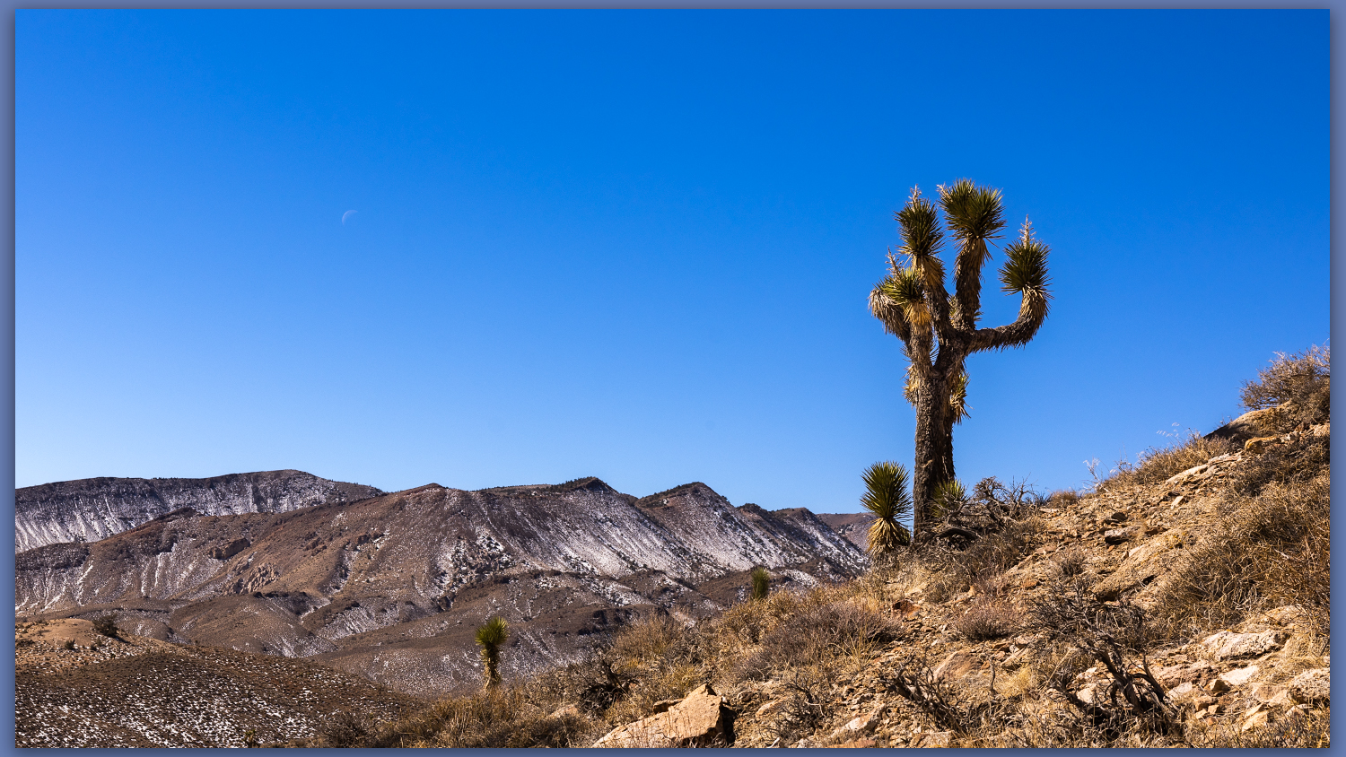
A Joshua. Westward from slopes of Gold Mountain, Mojave Desert, NV, USA

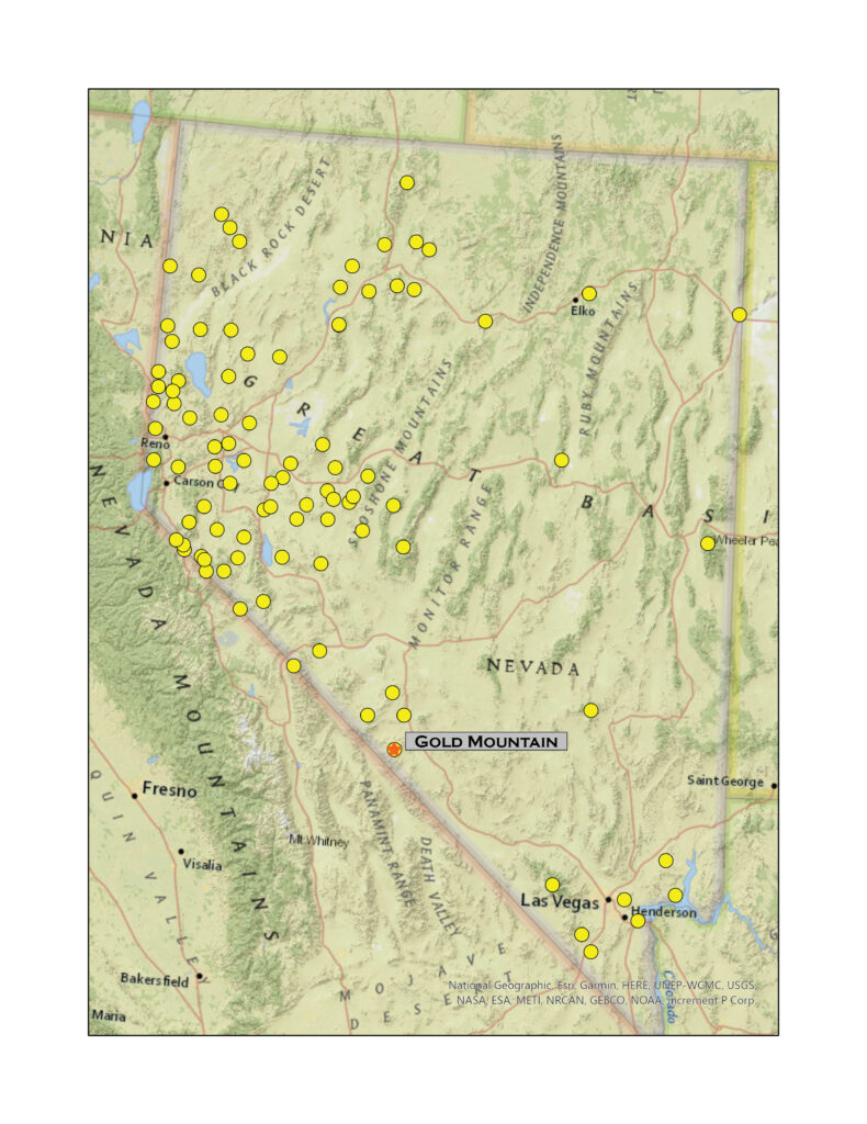
Gold Mountain

8152 ft (2485 m) – 2300 ft gain

2022.02.25

Gold Mountain Collection

It was finally time to get back to a desert high point – my string of monthly highpoints having been broken by a wonderful trip to Patagonia and Atacama Desert in Chile (stories and images coming soon).

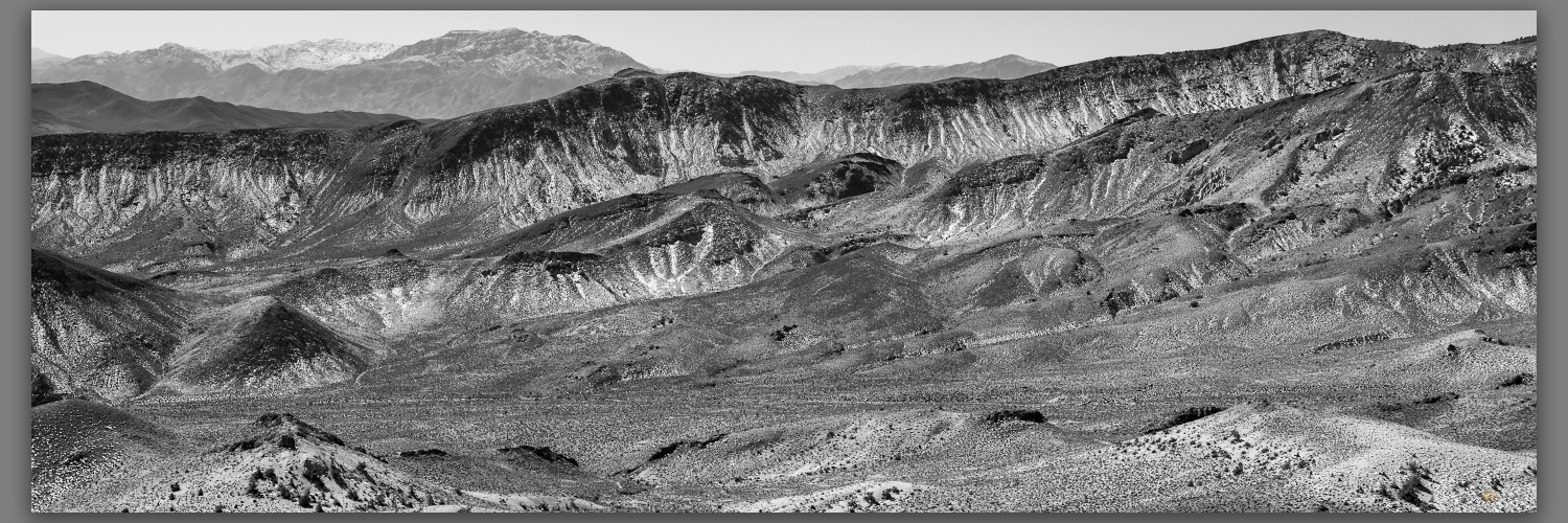
Although we have not had good precipitation in 2022, a couple slider storms have left dustings in the high country and access can be an undesired, muddy adventure as early runoff continues. With this in mind, Darren and I ventured southward into the Mojave to find the south-facing slopes of Gold Mountain above Bonnie Claire Flat. It is a long but easy drive through Tonopah and Goldfield before turning west toward Scotty’s Castle and the former northern, paved entrance to Death Valley National Park – the road remains closed where, several years ago, the headward drainage of an alluvial fan reclaimed the highway near the castle grounds. It makes for a quiet section of highway along Bonnie Claire between Gold Mountain and the Grapevine Mountains.
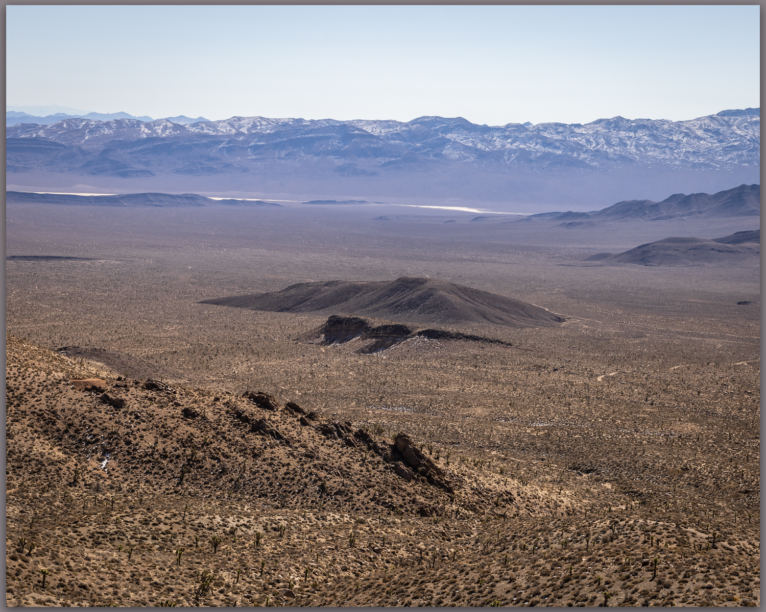
Bonnie Claire Flat. Southern slopes of Gold Mountain, Mojave Desert, NV, USA
Bonnie Claire distance. Southeast toward Obsidian Butte, Mojave Desert, NV, USA
Bonnie Claire Flat. Southern slopes of Gold Mountain, Mojave Desert, NV, USA

We turn northward up the fan, encountering traces of Bonnie Claire Airfield before tracing our way to some mining prospects at the toe of the mountain front. There is a cool breeze as we head out, but we are soon warm as we gain elevation. On a moderate slope we walk up loose, dusty scree with Joshua trees scattered among granitic boulders. Prospects dot the hillsides where seams of hydro-altered rocks and occasional volcanic dikes run through their host outcrops; these intrepid miners chased riches promised by the historic strikes of nearby districts, and who could pass up “Gold Mountain”?
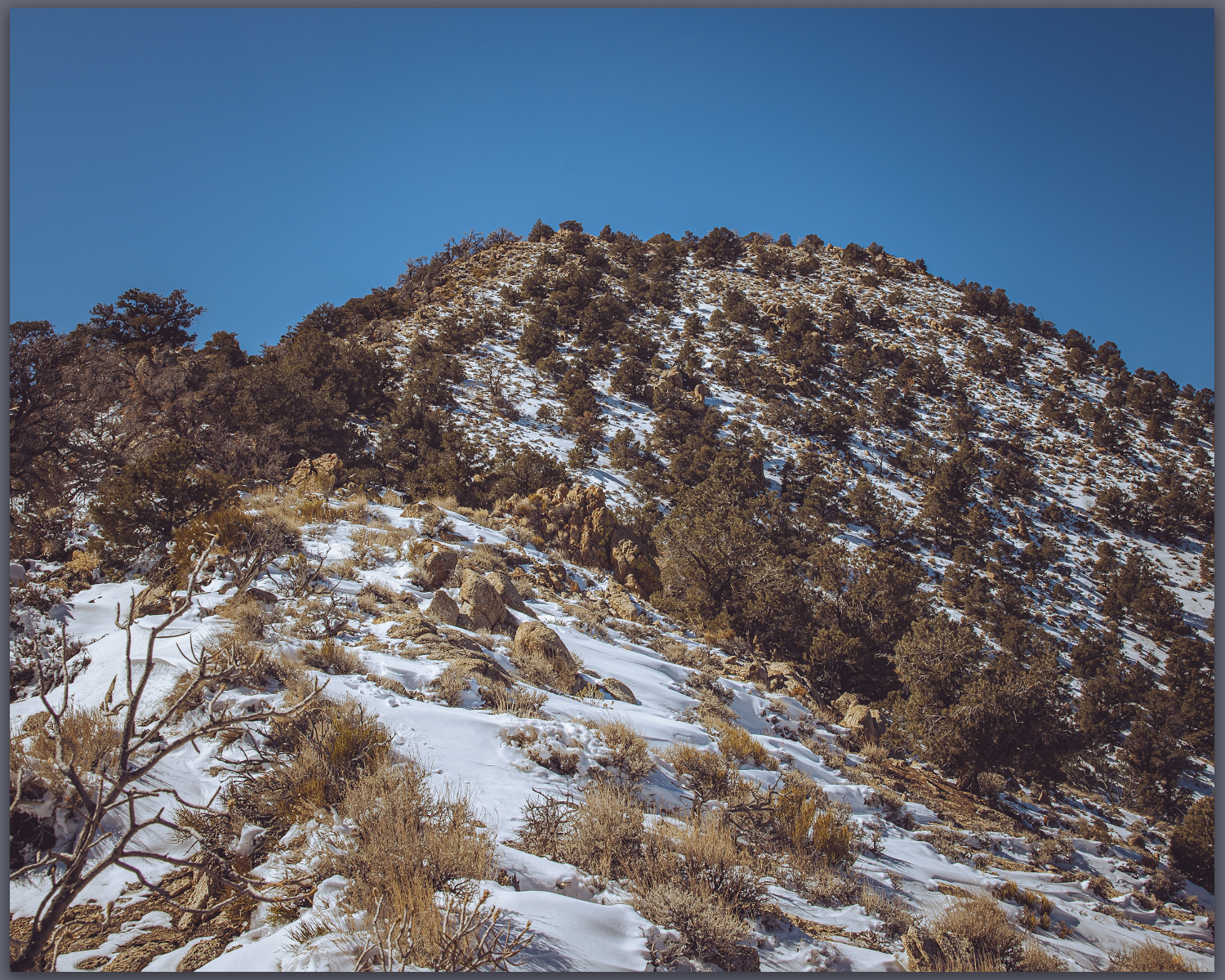
Snow remains. North slopes hold fading winter moisure, Mojave Desert, NV, USA

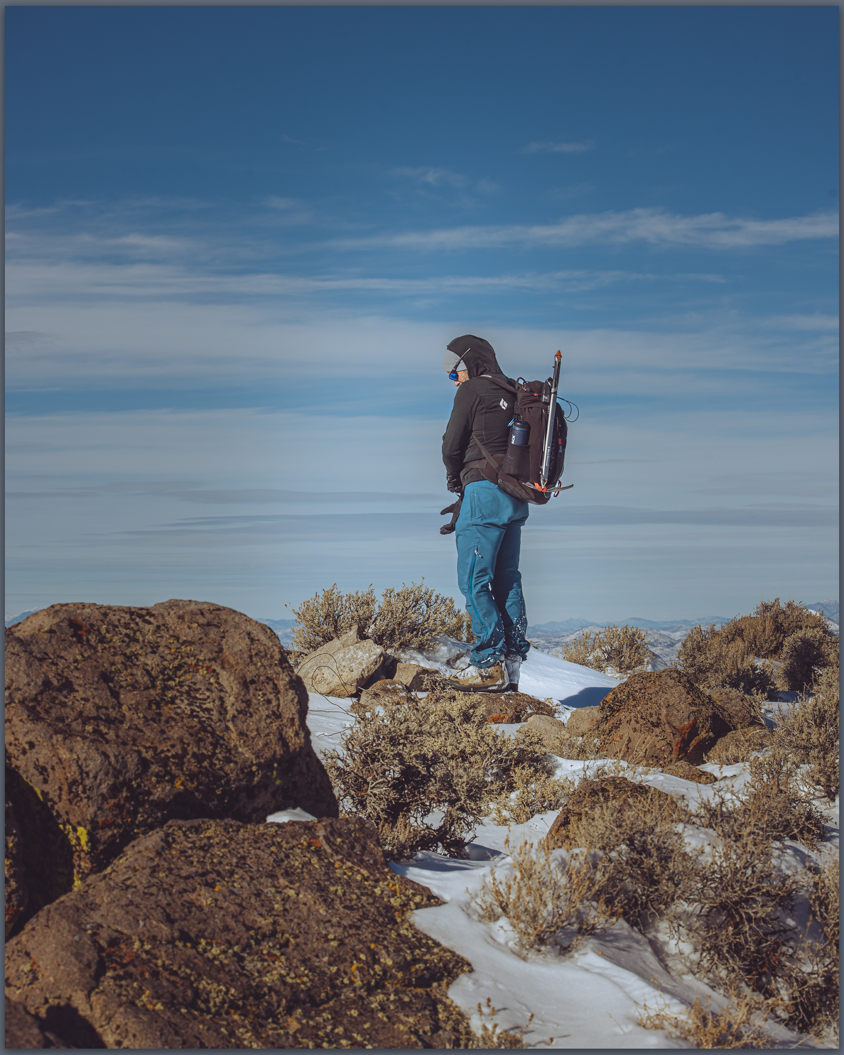
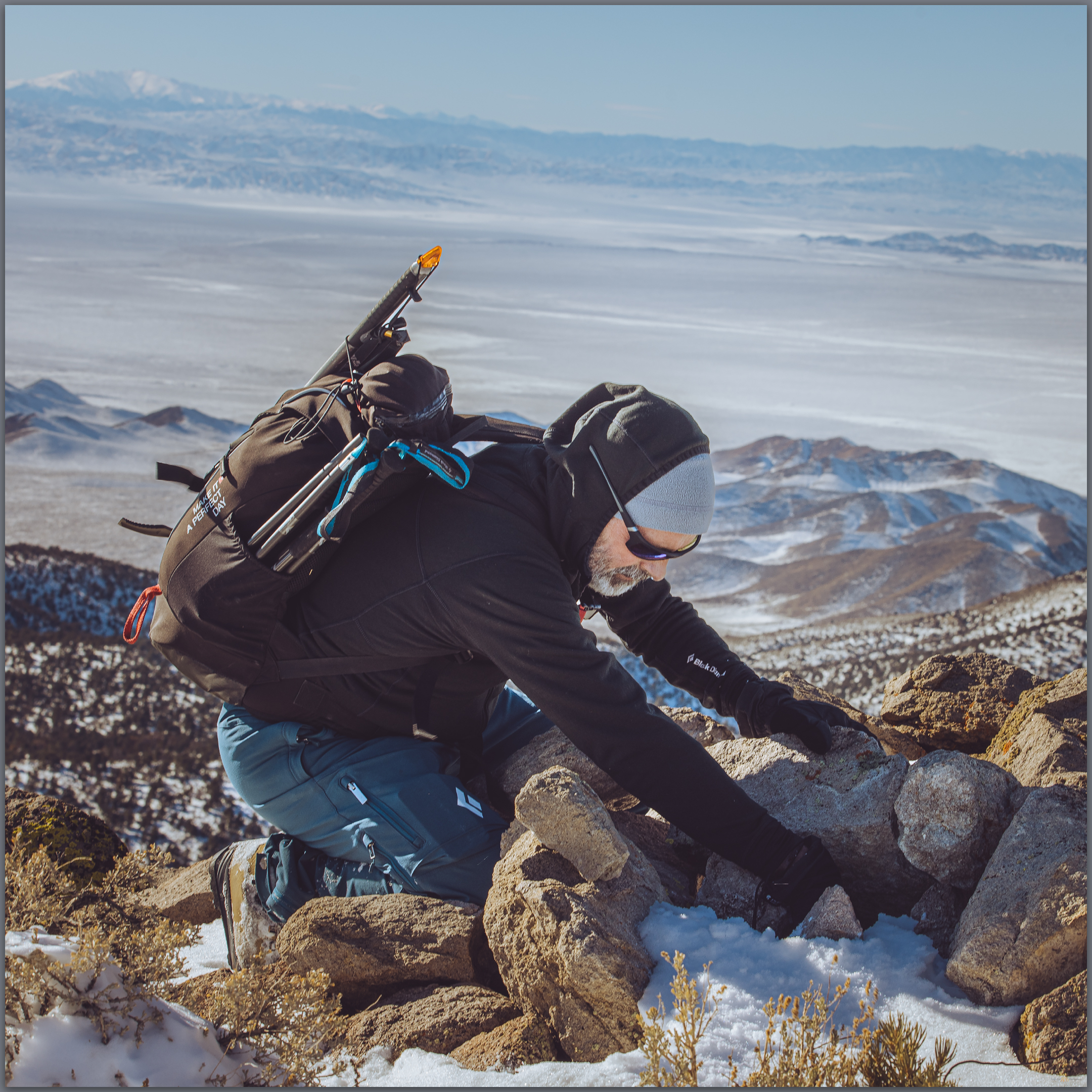
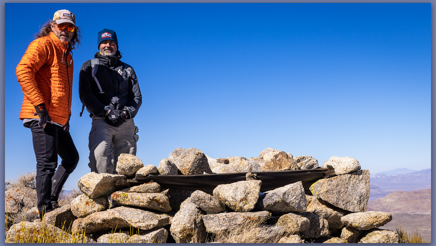
The scattered Joshua trees give way, with elevation, to a pinyon woodland where a few Pinyon Jays call out – I fail to see the talkative birds, however.  Darren reaches a small cornice which preserves the recent snowy turbidity of recent storms; the small wave climbs from the ridgeline but we step over and through to reach the rocky slope of the summit outcrop. A square cairn protrudes from the summit where we can look westward to the Sierran Crest and eastward into the Basin and Range. It is a simple but very worthwhile summit, as is most often the case in the smaller isolated ranges throughout Nevada.
Gold summit ridge. Pinyon woodland near the summit of Gold Mountain, Mojave Desert, NV, USA
Summit time. The brothers at the summit cairn of Gold Mountain, Mojave Desert, NV, USA
Gold Mountain. The summit rises above Joshua tree canyons, Gold Mountain, Mojave Desert, NV, USA

Gold Canyon Collection

We drop southward to look for one of the larger prospects among a dense pinyon grove. Our descent takes us too far west, a bouldery outcrop and sandy canyon drawing us downward.  I am not, however, overly fascinated by the old mines, so we take the descent following game trails toward the fans that feed into Bonnie Clair. We are quickly back to the truck where we marvel at the afternoon warmth. It is time to return to the chill of the northern valleys and we head homeward. A good day for a high point outing, taking advantage of windshield time to catch up with my brother and feel the warmth of a winter day at the edge of Death Valley. 

Keep going.

Please respect the natural and cultural resources of our public lands.
#naturefirst #keepgoing

Nevada High Points #97 – Paradise Range

D. Craig Young · January 5, 2022 · Leave a Comment

The mists of the basin on the clear, Sand Mountain, Great Basin Desert, NV, USA

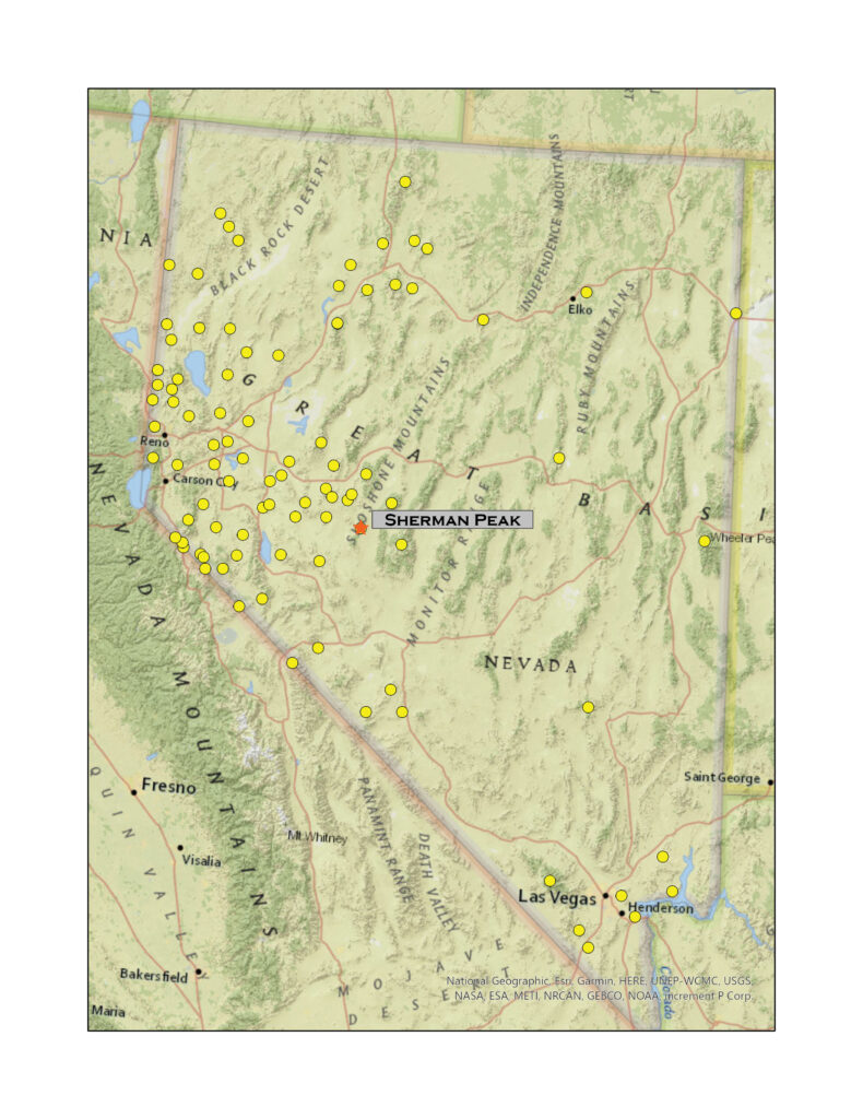
Sherman Peak

8957 ft (2639 m) – 2464 ft gain

2021.12.19

Sherman Peak – Paradise Range Collection

Winter’s coming, and the first snows have arrived. Although it snowed a little at StoneHeart in Carson Valley, I had watched the storms reorganize over the central Great Basin. How much would there be in the Paradise Range near Gabbs, Nevada? Well, a lot more than I thought.

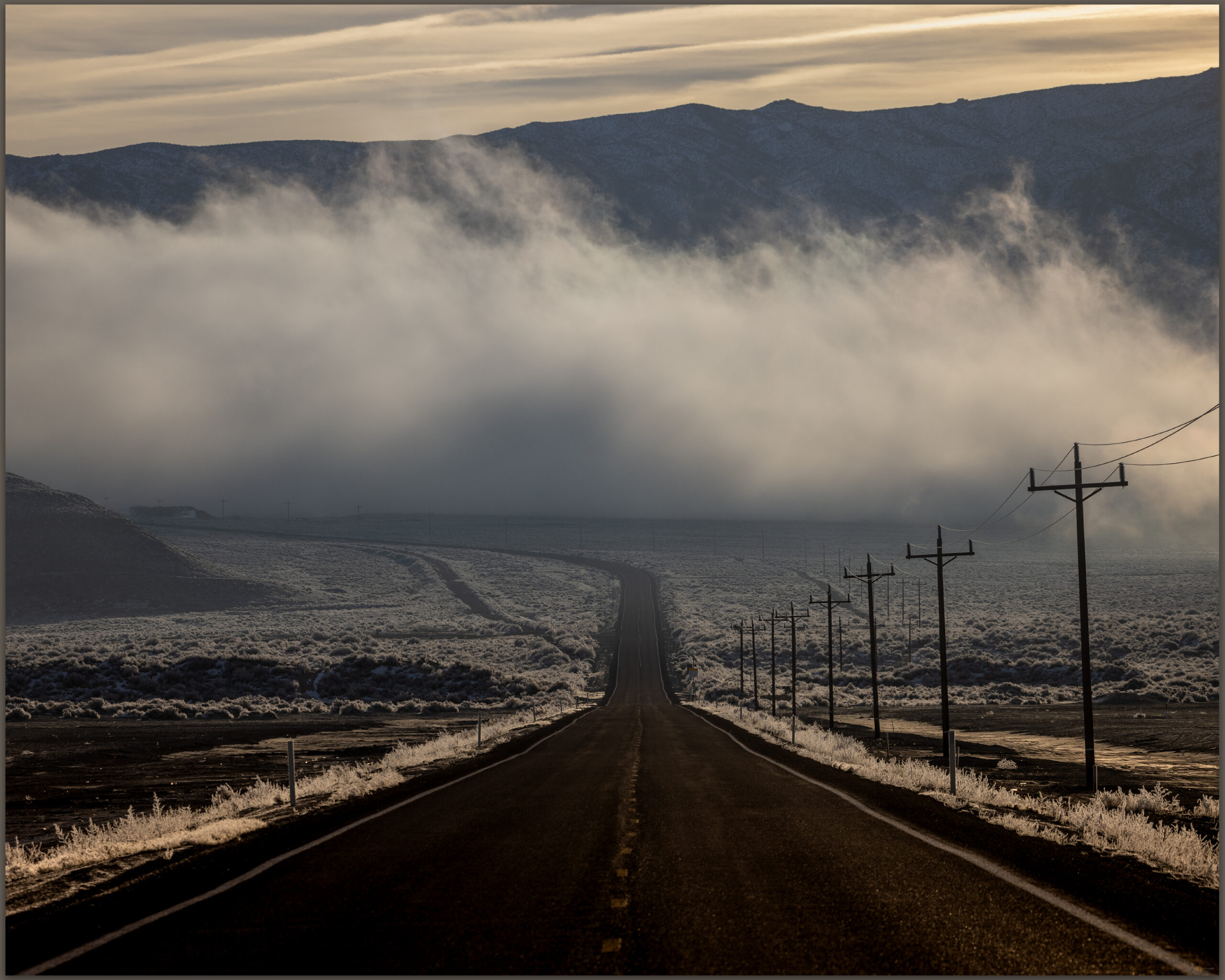
The long way. The loneliest road lives up to its name in the early morning, Sand Mountain, Great Basin Desert, NV, USA

Darren and I hit Highway 50 in the pre-dawn, fog hanging low along the Carson River. At Sand Mountain the low clouds receded up mountainsides, with misty dollops scudding along the dune and its nearby hills. We were closed in at Labou Flat and Dixie Valley – nothing but the black line of the highway leading onward.

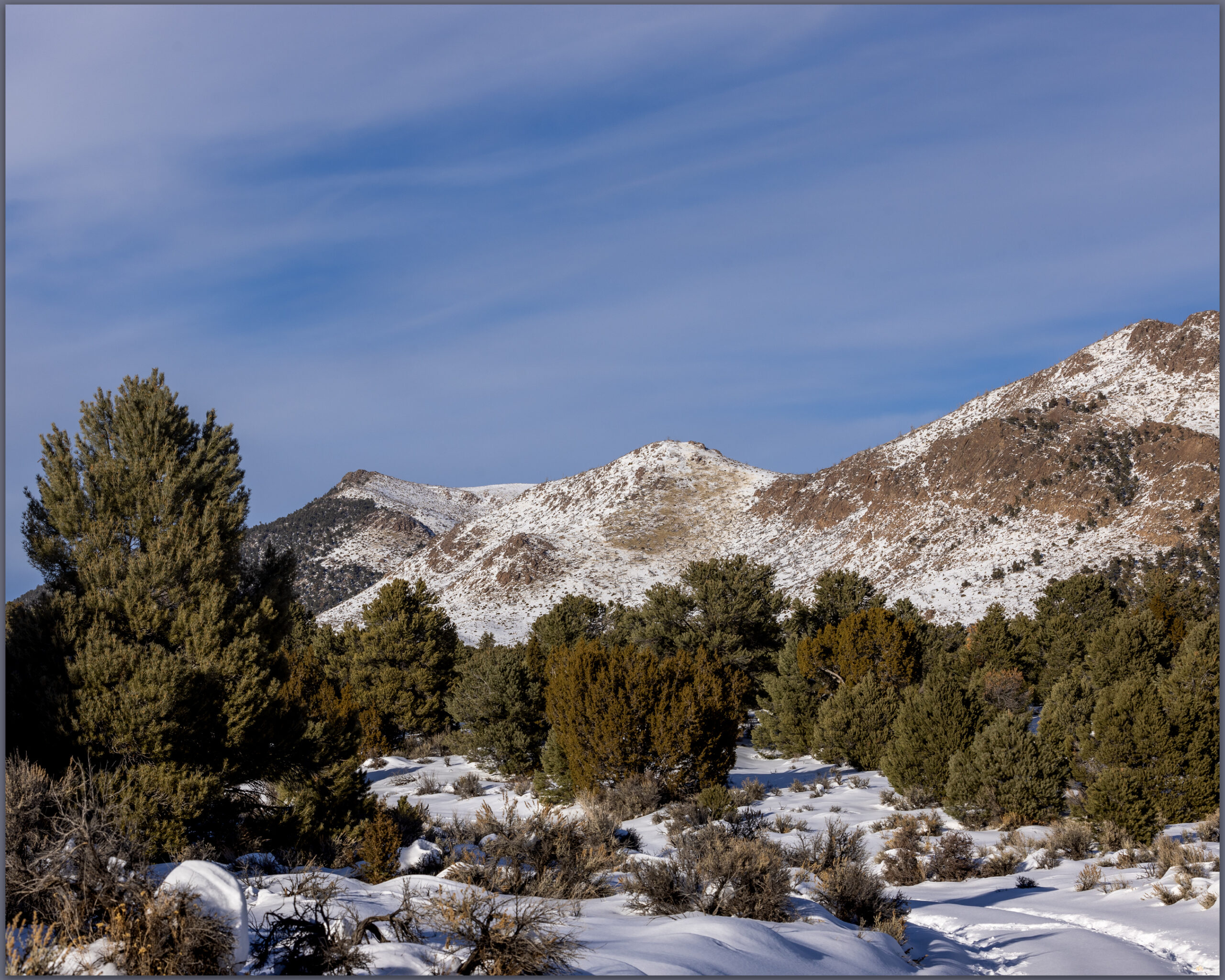
Blue skies in Gabbs Valley. Turning toward Ichthyosaur State Park, we climbed between growing snowbanks into the Paradise Range. No off-road travel today, so we parked in a crunch of deep snow, creeping in four-low just to get inches off the plowed pavement. The sun burned and bounced off the white landscape. When we stepped into the snow-bound two-track, it reached just below our knees. We were headed toward south-facing slopes of Sherman Peak, it would have to thin out.

Sherman Peak rises to the left, Paradise Range, Great Basin Desert, NV, USA
Snow approach. Finding more snow than anticipated, we worked slowly toward Sherman Peak, Paradise Range, Great Basin Desert, NV, USA

No it would not. We traversed and traversed; the snow was deeper and deeper. I had not picked a long route and figured it would be just under three miles to the high point, that takes a couple hours typically. This was dragging on as we worked away along a contour that took us on to north-facing, waist-deep drifts in a skeletal forest of snags and blow-downs. I thought about turning back; we are in the shortest days of winter solstice and time could turn against us. It was not dangerous, only more than we had psyched up for. We kept at it, of course.

Summit time. A well-earned moment on Sherman Peak, Paradise Range, Great Basin Desert, NV, USA
Darren finds the register in the typical summit cairn, Paradise Range, Great Basin Desert, NV, USA

The summit was a relieved reward where we turned into a newly biting wind and felt the chill of recent excursion, the heat of effort evaporating quickly. We did not linger. But our first steps downward found us stumbling and falling from snow-buried boulders, missing the next footfall we thought would be there. Repeatedly. When we got into stride we descended quickly; until we hit the deep snow of the rolling, forested slopes of the last two miles. We slogged, boots heavy with wet snow and accumulated ice. Happily at the truck, we were glad for the effort and impressed by the conditions that Paradise had thrown at us – even if our sweat had come in the relatively warmth of the solstice sun.

I realized after that I had not taken many photographs. At first humbled by the stark blue skies and bright white snow, I soon forgot the camera altogether as we focused on breaking trail. The views from the summit of Sherman Peak are exception, seeing a distance Sierra skyline, valley beyond valley, and the bulge of the plateaued ranges of the central Great Basin. It was dressed for winter, ready for the days to come.

Sherman Peak – Paradise Range Collection

Please respect the natural and cultural resources of our public lands. #naturefirst #keepgoing
Playa and Pottery – Black Rock Desert Region, NV

D. Craig Young · January 4, 2022 · 2 Comments

Calico morning. Black Rock Desert, NV, USA

The playa passes quietly beneath the truck, a narrow path traced by the headlights in the predawn darkness. I had left Desna at Planet X to see what the sunrise might bring on the Black Rock Desert playa. A canopy of bright stars suggested that the desert sunrise would be quick; a transition from an early glow to generally blue skies. I had been spoiled by a few Sierran storms and had hoped for something, anything to add some variety to the vast skies above the expanse of the playa – even as the forecasts had ridiculed my fervent wishes.

Black Rock and Planet X Collection

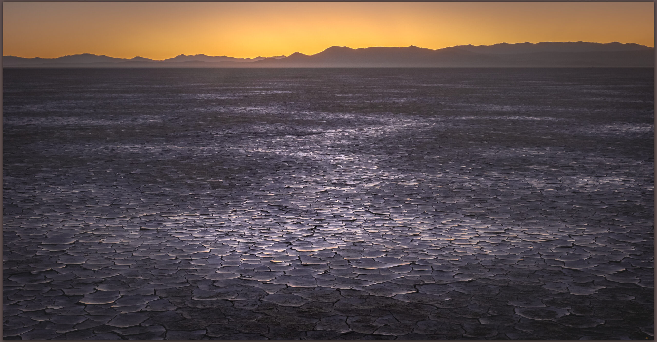
Playa before dawn. Black Rock Desert, NV, USA.

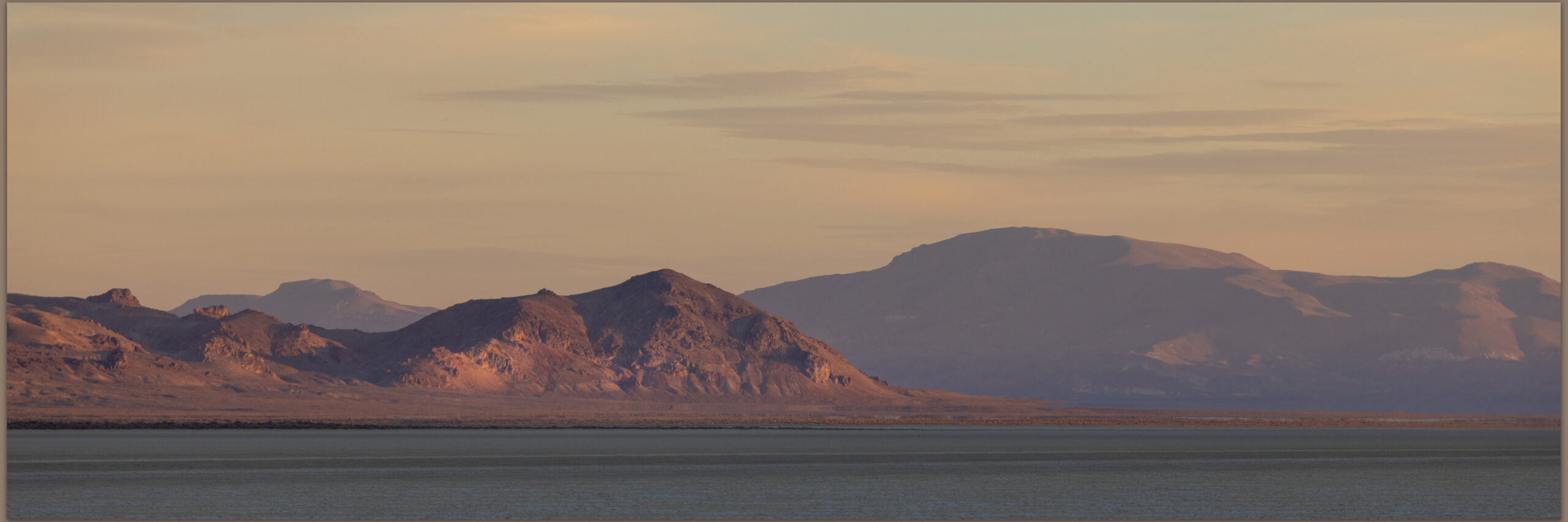
I rolled to a stop as the eastern sky brightened and turned to brewing coffee on the tailgate as a trolled for mud cracks to highlight a foreground. The regular patterns revealed little other than general chaos; I tried to stack a few frames in the long vertical panorama but was unsuccessful. It was the distance the drew my newly caffeinated awareness. Nothing overly dramatic, but the dusty sky held its own glow and I played a bit in the quickly changing light. I was happy that the playa was relatively quiet, only a few camps this late in the season.

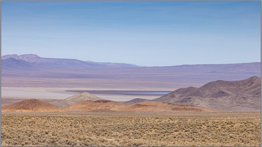
Playa horizons. Black Rock Desert, NV, USA

It is time for some winter rain and runoff to rejuvenate the playa surface. With the quickly harsh light, I returned to Planet X Pottery to browse among the artwork as John and Rachel prepared for another day of the holiday show and sale. Always a quiet pleasure to visit the oasis that is Planet X.

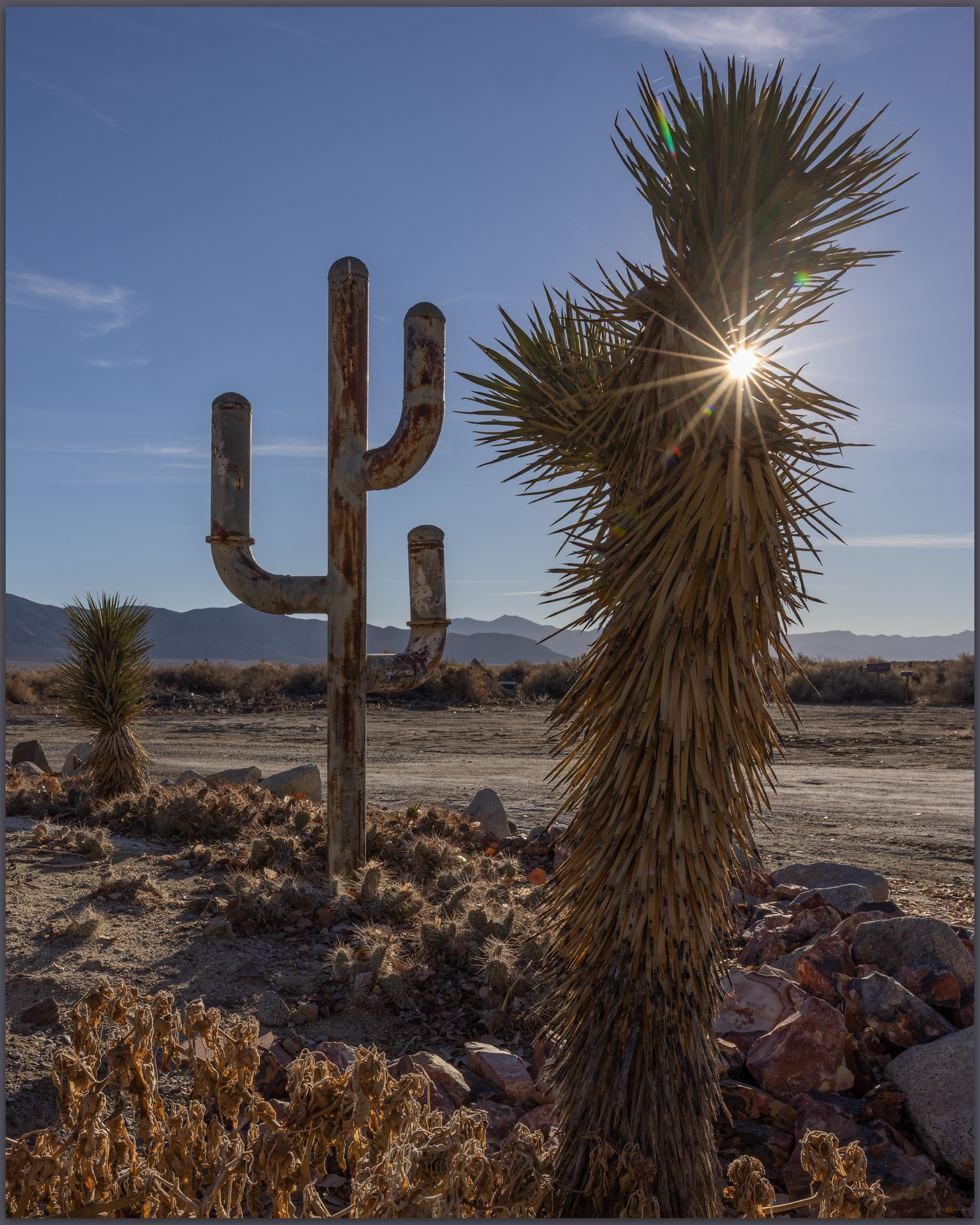
Greeters. Planet X Pottery, Smoke Creek Desert, NV, USA
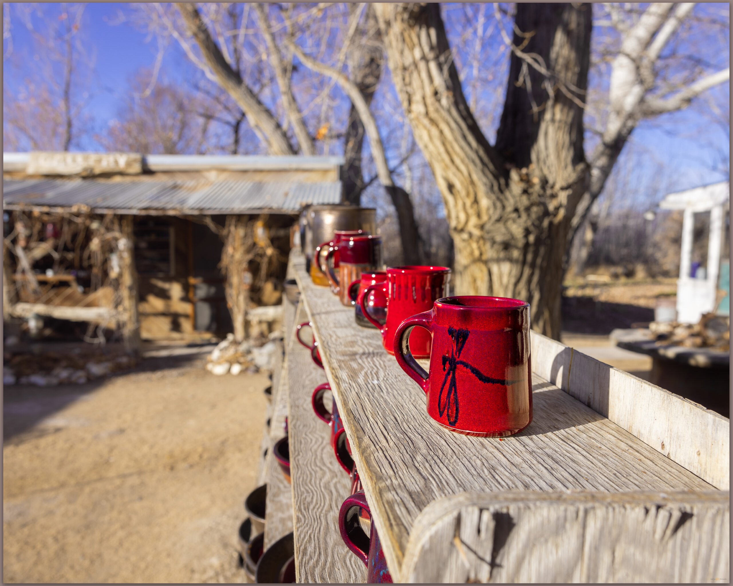
Dragonfly. The art of Planet X Pottery, Smoke Creek Desert, NV, USA
Pendulum desert. Planet X Pottery, Smoke Creek Desert, NV, USA
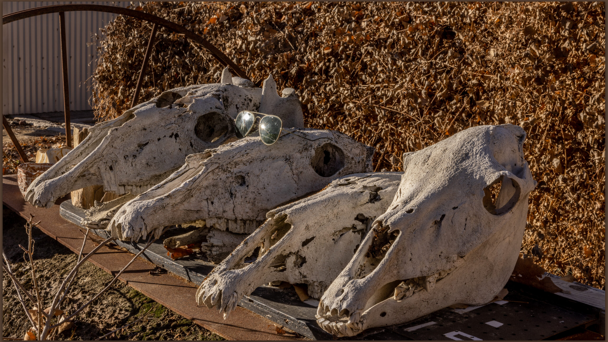
Four horses once. Planet X Pottery, Smoke Creek Desert, NV, USA

Black Rock and Planet X Collection

Please respect the natural and cultural resources of our public lands. #naturefirst #keepgoing
Nevada High Points #96 – Sahwave Mountains

D. Craig Young · January 4, 2022 · Leave a Comment

Rains leave a playa lake at Bluewing, Great Basin Desert, NV, USA

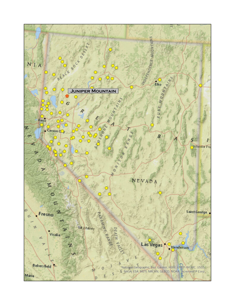
Juniper Mountain

7475 ft (2278 m) – 1960 ft gain

2021.11.27

Juniper Mountain – Sahwave Mountains Collection

Desna, my wife and partner, was at Planet X for the weekend, it is winter sale time. Although the forecast remained stable with blue skies as far as any meteorologist could see, I figured it was a good day to get into the Black Rock area and explore the Sahwave Mountains. This small but interesting range is tucked into what I call the Bluewing Triangle, that expanse south of the Black Rock playa, east of the Nightengale Mountains, northwest of Interstate 80 and the Humboldt River. There are lots of little ranges in here, and very few people.

There are many access points with roads often straight-lining across the long and wide valley bottoms. I work up to Kumiva Pass, a west-to-east route north of Winnemucca Lake. It has been a while since I was across this road. It is a little worked over from recent rains but a nice route into Kumiva Valley where the Bluewing playa spreads before me. I have a future target peak over there; I look forward to it because I have used the Bluewing drainage on the east side of Kumiva Valley as a model landscape for alluvial reworking of dust – it might be good to walk it for real!

Juniper Mountain – Sahwave Mountains Collection

Straight-line roads lead from Bluewing to the Black Rock Desert, Great Basin Desert, NV, USA

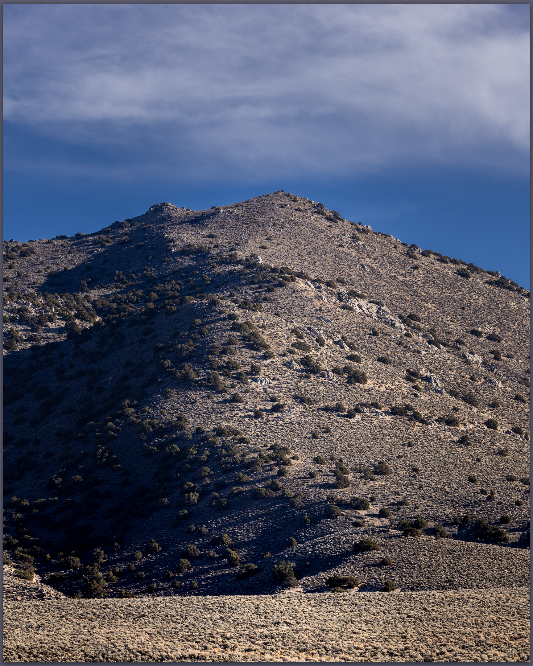
I turn south and find some good, grus-packed two-tracks leading to the mountain-front. The walk up Juniper Mountain is straight-forward. Small outcrops and benches of plutonic granite are struck through be volcanic dikes, but the slopes are generally open and grussy. There is evidence of sage grouse but I see no birds. A herd of horses curiously follows me, cuts my path, and then wanders down a drainage.

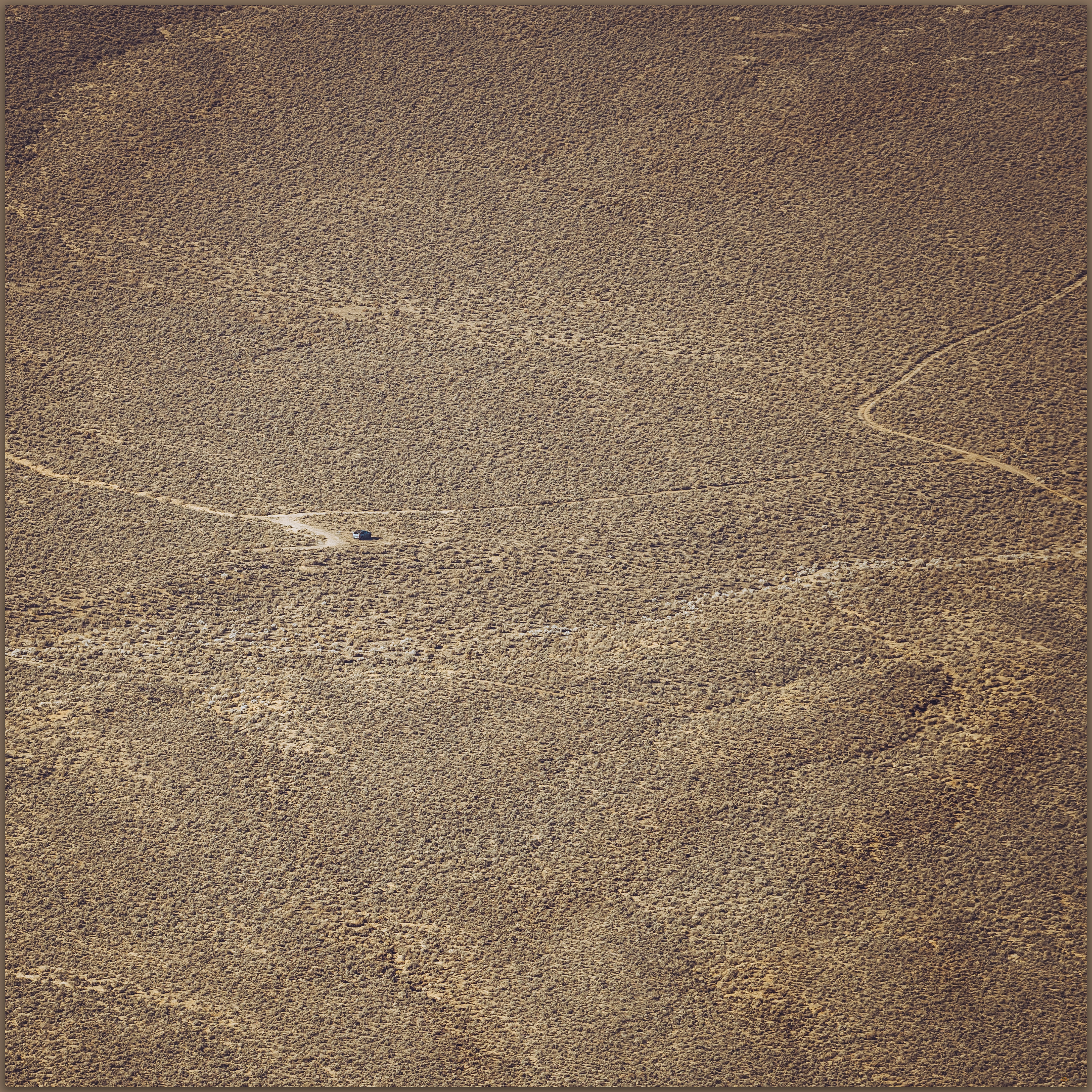
Jump off point. The truck sits on the fan below Juniper Mountain, Great Basin Desert, NV, USA
Juniper Mountain. A good walk in Sahwave Mountains, Great Basin Desert, NV, USA

For a few moments I think I have veered toward the wrong summit. The map seems correct, and I consider why so many ranges have often discrete summits that reach a similar altitude, as if there is a control on the buoyancy of the mountain block, plutonic intrusion, or erosion. I think of these things walking around and forget to delve into the questions later.

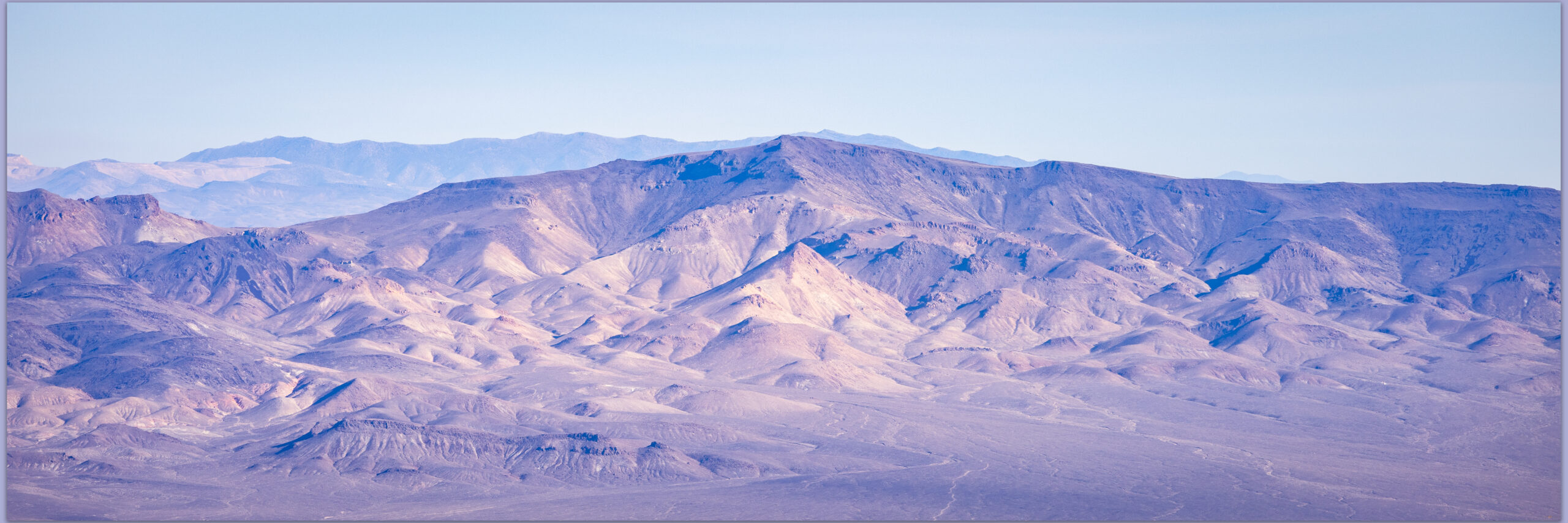
Trinity Peak. The Trinity Range rises above Granite Springs Valley, Great Basin Desert, NV, USA
Sage Hen distance. The southern view from the summit of Juniper Mountain, Great Basin Desert, NV, USA

The summit has open views into Granite Springs Valley to the east, nice overlooks of Bluewing, and fading ranges into the Sierra to the southwest. Snowy peaks rise from the Sweetwaters to Mount Rose, looking more like clouds on the horizon than mountains where I have stood.

The drop back to the rig is quick. I have yet to see another car, not a dust trail in the distance. There is no one out here – a gift of the triangle. Back in the truck I work my way northward to the Black Rock Playa, finding the first of several little crowds at Frog Pond at the playa margin. I am not in the peaceful setting of Planet X soon enough.

Juniper Mountain – Sahwave Mountains Collection

Please respect the natural and cultural resources of our public lands. #naturefirst #keepgoing
Nevada High Points #95 – Palmetto Mountains

D. Craig Young · January 3, 2022 · Leave a Comment

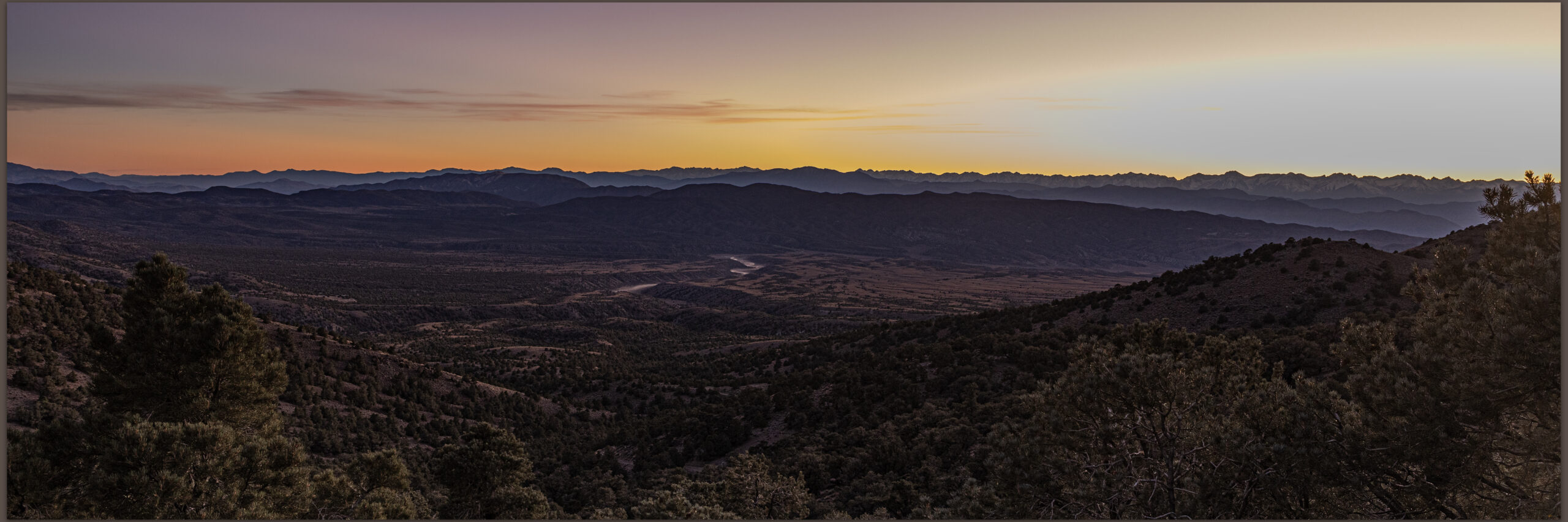
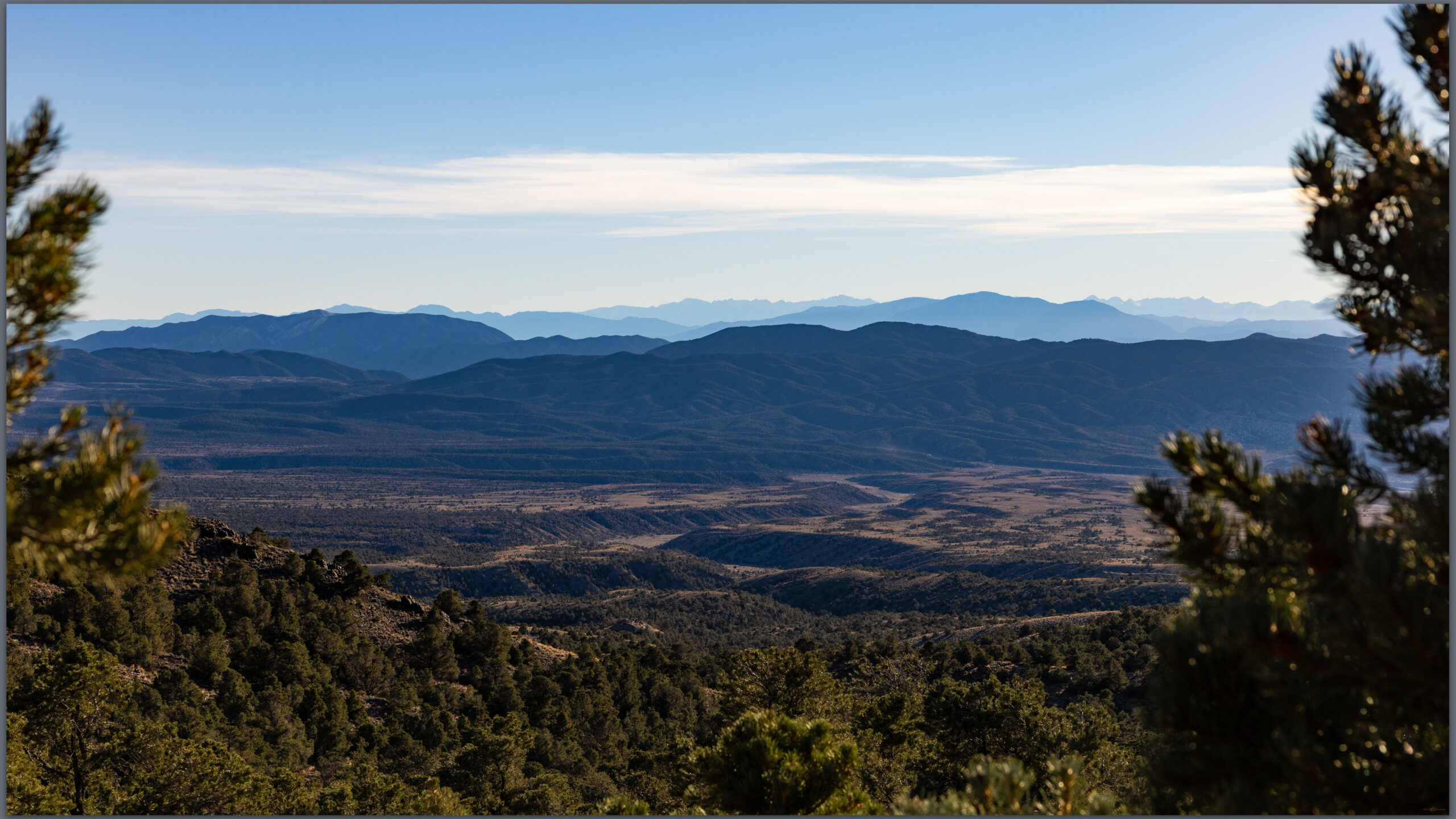
Sierra view from the Palmetto Mountains, Great Basin Desert, NV, USA

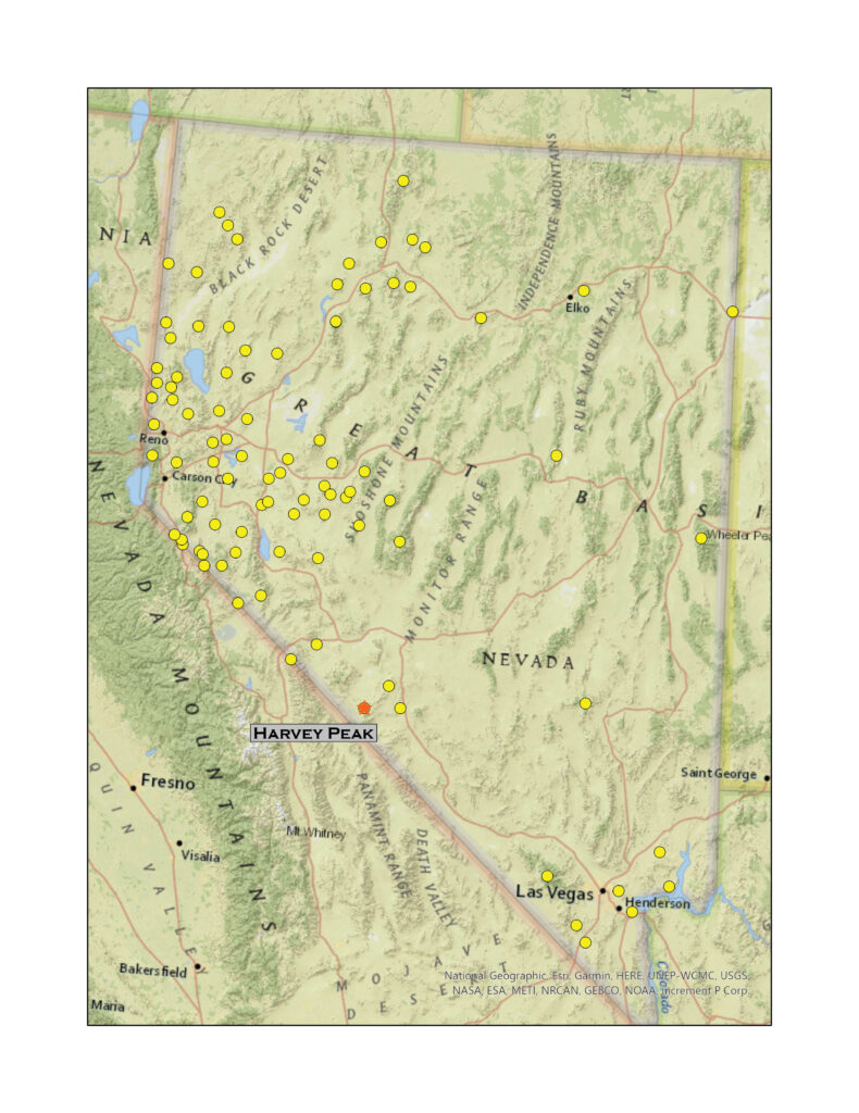
Harvey Peak

9285 ft (2830 m) – 1775 ft gain

2021.11.12

Harvey Peak – Palmetto Mountains Photo Collection

I had planned to get out early for Second Friday, but because my brother, Darren, could not join this weekend and my back had spasmed oddly yesterday, I slept late. The schedule had changed anyway. I now planned to meet colleagues in Owens Valley for a drone mapping project in the Inyo Mountains, so my journey into the Palmetto Mountains and their high point of Harvey Peak is a prelude to that.

I take the ‘fast’ route to Fish Lake Valley, through Yerington and Hawthorne, then around the Candelaria bypass. The length-wise traverse of Fish Lake Valley, below Boundary Peak (Nevada’s highest summit) and the White Mountains of California, is always longer than I remember, and I was just through here on my way to the Spring Mountains a month ago. I am pulling the trailer, and not looking to camp in the Palmettos, I stash it in a turnout along the two-lane highway. The rig now works its way through straggled mining camps, Harvey Peak rising in the northeast. I am running out of daylight, but it is a perfect day otherwise – clear and bright, not so perfect for landscape photography, of course.

The Garmin map is inaccurate, so foregoing the indicated road, I take a good turn that I soon think is a wrong turn, back out and turn around, go further east. That is no good. I go back to find my original instinct was correct and continue up-fan, parking below steep slopes. There are clearly roads to the top, but I always want to be at least 1.5 miles from and 1500 feet below from a summit, even if I could drive the entire route. That is no way to experience a mountain.

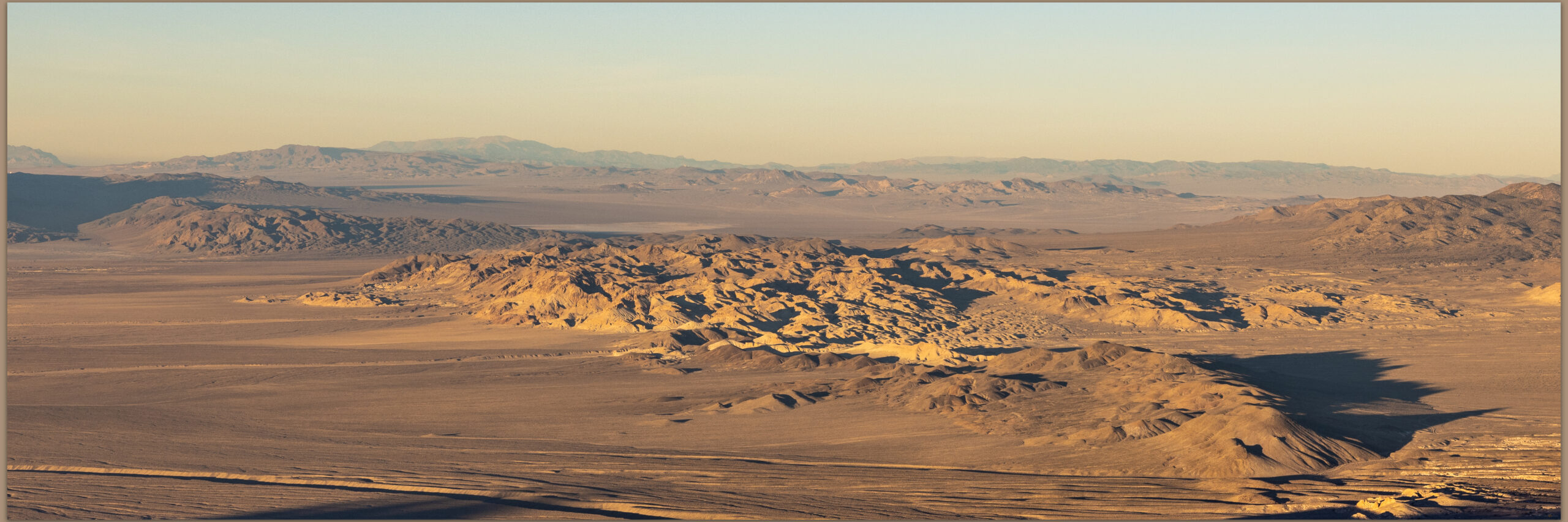
Evening light on Clayton Valley, Palmetto Mountains, Great Basin Desert, NV, USA

I begin in a thick band of pinyon, a broad apron on the slopes of the Palmettos – the range’s name comes from a slightly inaccurate description of the region’s Joshua Trees, a few of which gather on slopes to the south. The sun is fading as I make open slopes near a bumpy ridgeline that wanders up-and-down as it climbs to a rocky summit. Groves of Curl-leaf Mountain Mahogany shelter in alcoves and indented swales in the hillslopes. Two beautiful mule deer exit as I enter a protected grove that had drawn my attention. I have exposed their hideaway.

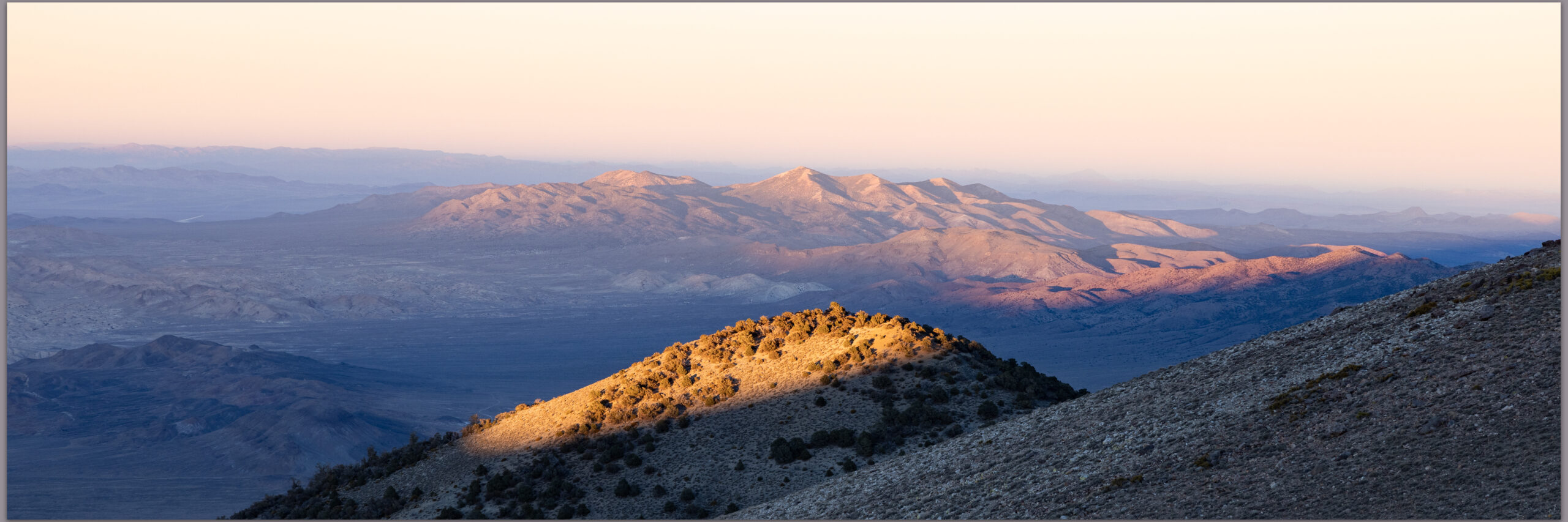
Montezuma Peak from the slopes of Harvey Peak, Palmetto Mountains, Great Basin Desert, NV, USA

I regretted my trespass as I turned around an outcrop to find a pair of trucks and several pedestrian hunters scouting the ridge, looking in scopes, or, in one case, sleeping in a truck cab. The sleeper’s truck was not parked on a road but looked as if it had just rolled to a stop like any other local, slope-stalled boulder. I crept past the slumbering man and approached the several other scouts, impressed that all their scopes were pointing in directions other than that of the tip-toeing deer I had so recently flushed. My secret seems safe as I say hello and, heavily out-gunned, wave shyly, the oddity of a camera-toting hiker strolling out of the blue hour.

There are two hunters and a Toyota from Tonopah at the summit register. I have not had company like this on a summit since the summit of Mount Rose, the beautiful dog-route above Reno. We chat about other hills and I get info on a good route on Lone Mountain to the northeast. I can see Montezuma Peak above Clayton Valley, and Lone Mountain just beyond is a future goal.

Hunter Uber. Hunting scouts offering rides on the evening descent, Palmetto Mountains, Great Basin Desert, NV, USA

I head down into the dark, but I am soon followed by the truck, which seems to be picking up all the other hunters. I leave the track to follow game trails, night closing in around me. Bats flicker among the pinyon as an ATV intercepts me just above my truck. “Wow, you’re getting in the mileage.” Maybe. My watch just turned over 5.0, and I could probably seem my rig if it were light.

Toward the Sierra. Palmetto Mountains, Great Basin Desert, NV, USA

Harvey Peak – Palmetto Mountains Photo Collection

The photography was uninspired as I was made inattentive by all the activity along the ridge. I enjoyed the walk, noticing that my back muscles, freed from the desk and chair, had warmed to the walk and I drove into the night painfree. I camped at an artesian well on a broad alluvial fan on the Nevada-California border, ready for a short expedition into the Inyo Mountains.

Keep going.

Please respect the natural and cultural resources of our public lands.

#naturefirst #keepgoing

  • « Go to Previous Page
  • Page 1
  • Interim pages omitted …
  • Page 7
  • Page 8
  • Page 9
  • Page 10
  • Page 11
  • Interim pages omitted …
  • Page 16
  • Go to Next Page »

Trail Option

Copyright © 2026 · Monochrome Pro on Genesis Framework · WordPress · Log in

  • Contact TrailOption
  • Substack
  • Waypoints Bibliography
  • Young Archives