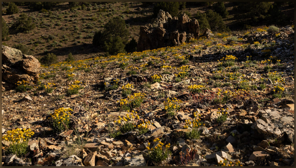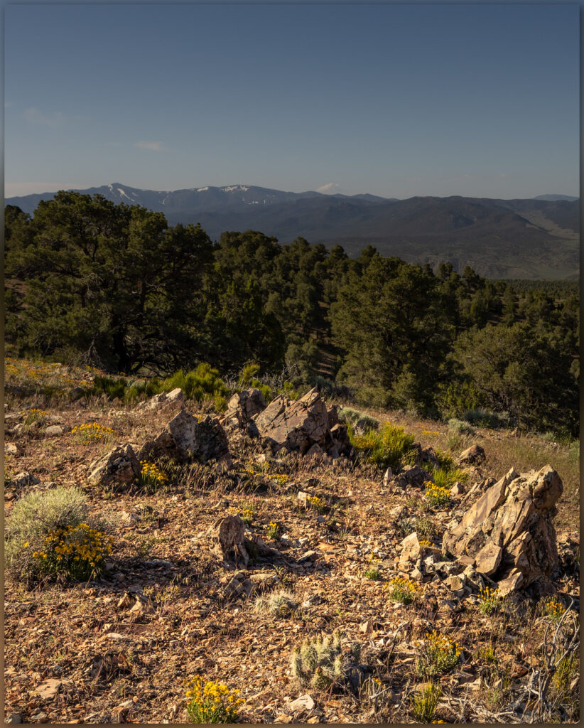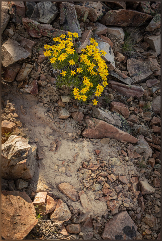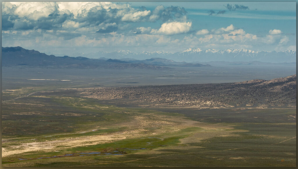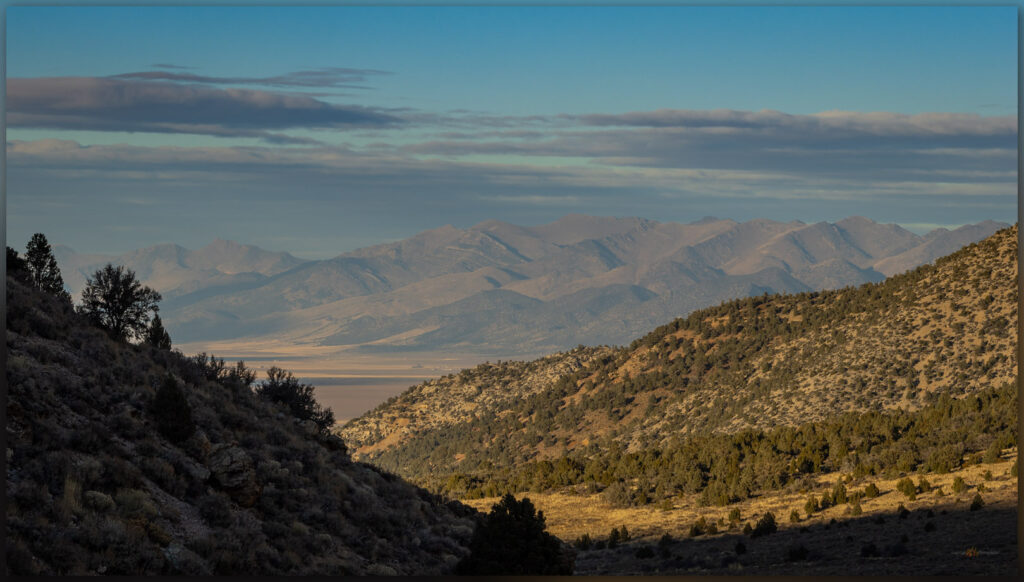
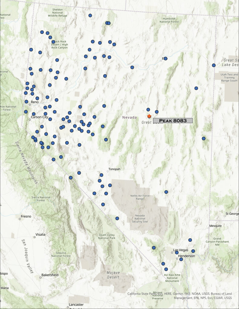
• Skip to primary navigation
  • Skip to main content

Trail Option

A personal geography of landscape and place, art and geo-science.

  • Home
  • About
  • Contact TrailOption
  • Subscribe!
  • Lost Journals
  • Show Search
Hide Search

Nevada

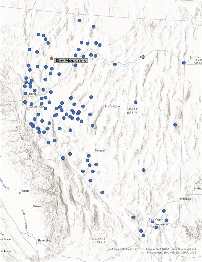
Nevada High Points #105 – Sinkavata Hills

D. Craig Young · January 21, 2023 · Leave a Comment

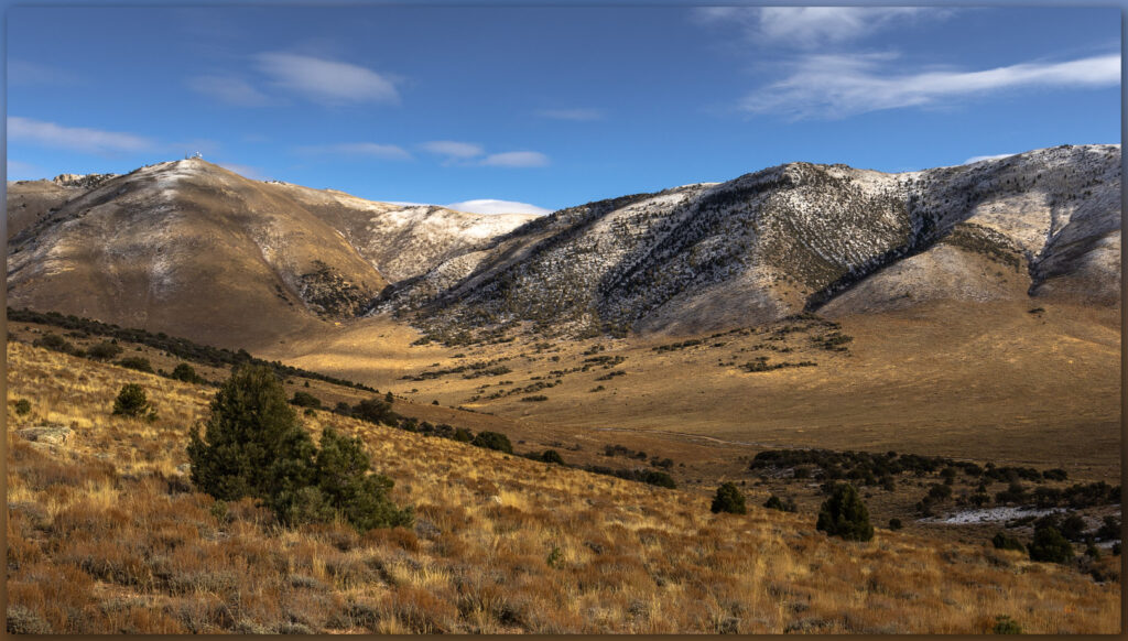
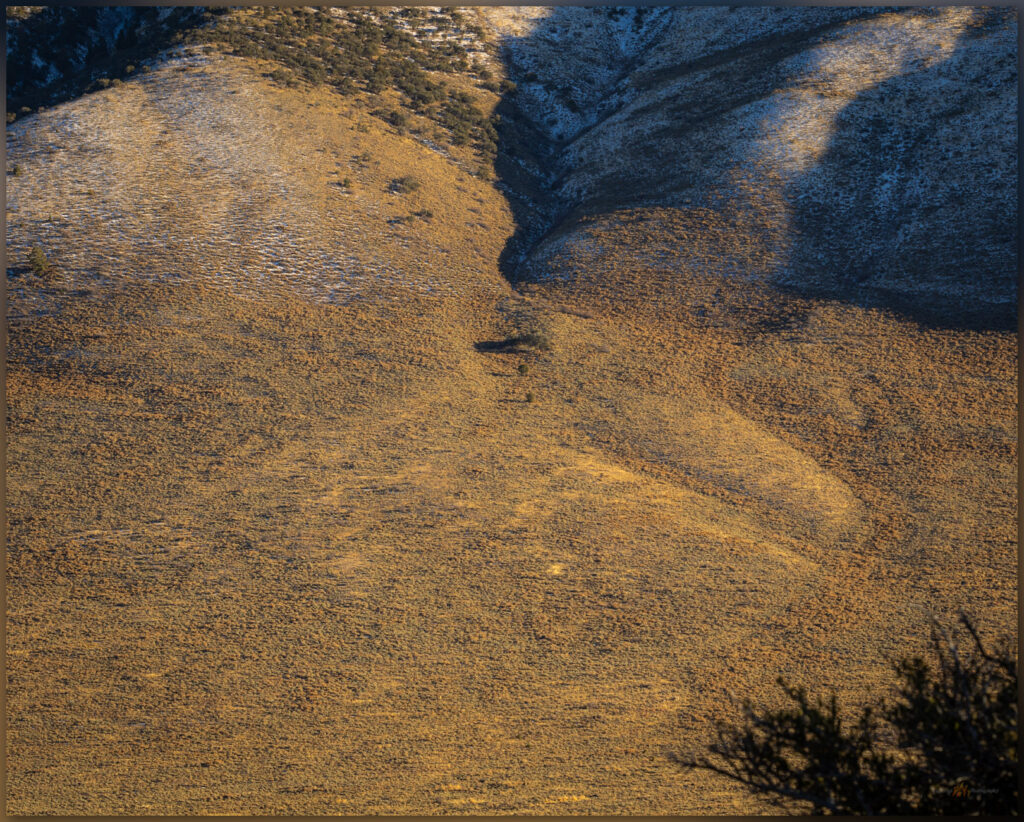
A bajada. Coalesced alluvial fans of the western front of the Monte Cristo Mountains, Great Basin Desert, Nevada, USA

Peak 6399

6399 ft (1950 m) — 1590 ft gain

2022.10.30

Sinkavata Image Collection

Sometimes you must go to the desert.

We are in the middle of a rather drastic change. Although we may have been leaning, at least occasionally, toward simplifying what and where we call home, we had rarely considered really doing anything. And then, last month, our leanings turned into a full-on run as several coincidental details led to the sale of our Gardnerville home and purchase of a much smaller property in Carson City – if only it had been in that order, we purchased before we sold. Although we are certainly fortunate to be able to do such a thing, the stress and distraction of negotiation realty and planning a move is all-consuming. We fear we have lost touch with who we are – “Why can’t we spend a normal day together,” has become a common refrain among cheers and a few too many tears. Have we made the correct decision?

So, after a bit of closure on the move, at least as far as having a nice offer and solid moving day next month, I awoke well before sunrise and, with relief, drove east into the desert of the western Great Basin. One benefit of Nevada’s multitude of named ranges (325 on my list) is that there are many smaller sets of hills and relatively low mountains that I can save for quick approaches with relatively little planning.

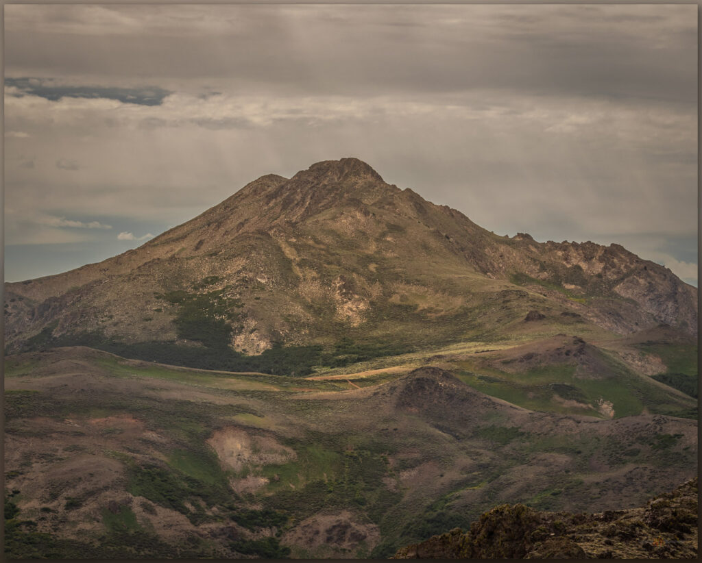
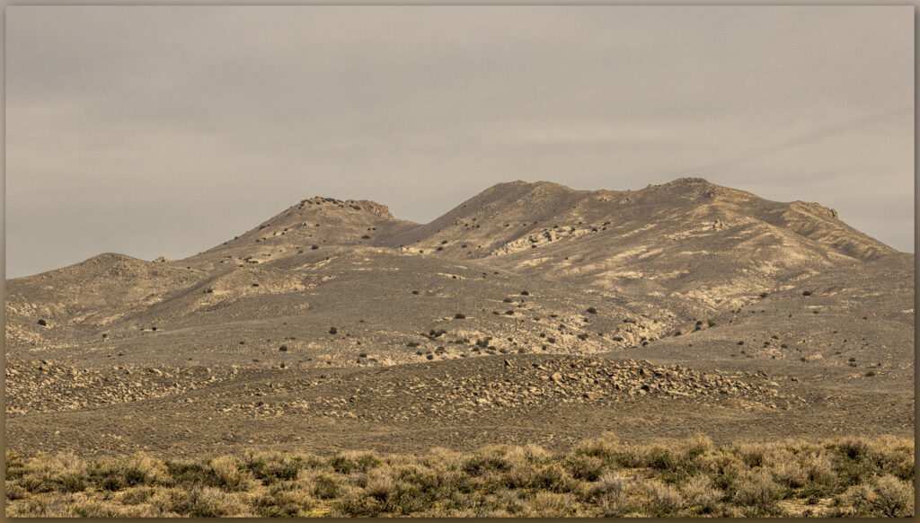
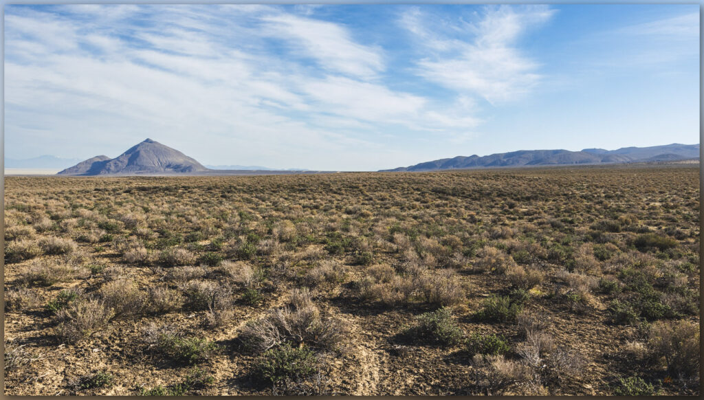
Peak 6399. The Sinkavata Hills highpoint rises above Little Bell Flat, Great Basin Desert, Nevada, USA

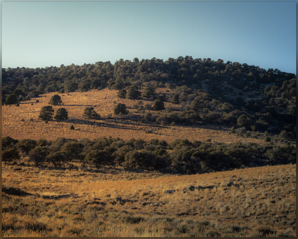
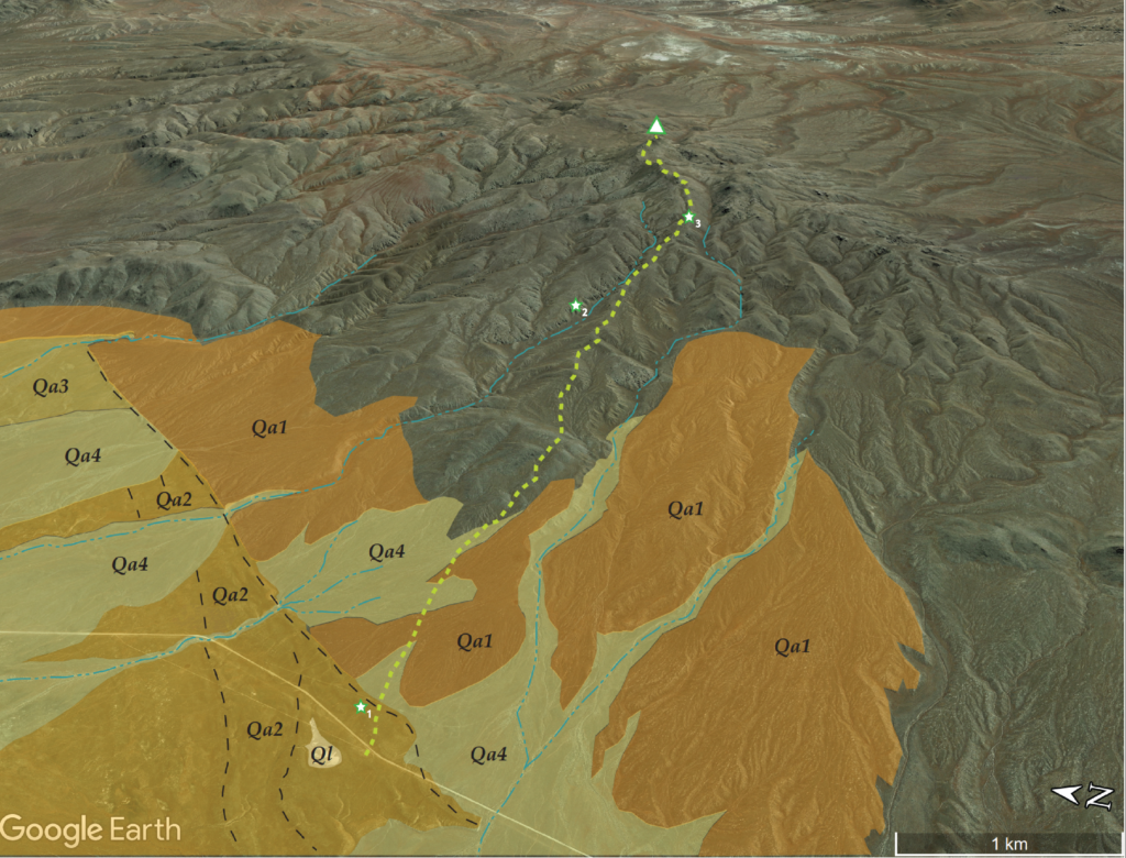
The Sinkavata Hills are small group of volcanic bumps and outcrops north of Rawhide Flat and south of Fairview Peak in west-central Nevada. I have often forgotten about this small group of hills even as I gouged around adjacent basins. After circumventing NAS Fallon’s B-17 Range, which takes up much of Fairview Valley south of Highway 50, I turned off the pavement onto a relatively easy two-track into Little Bell Flat. The sun emerged above the Sinkavata Hills as I bounced easily along, the cold autumn sky free of clouds; it is the first morning below freezing this fall. I could feel the day warming, however, as I walked from the truck, traversing a set of alluvial fans and washes to gain a sandy drainage that originated in the outcrops above. I would follow this.

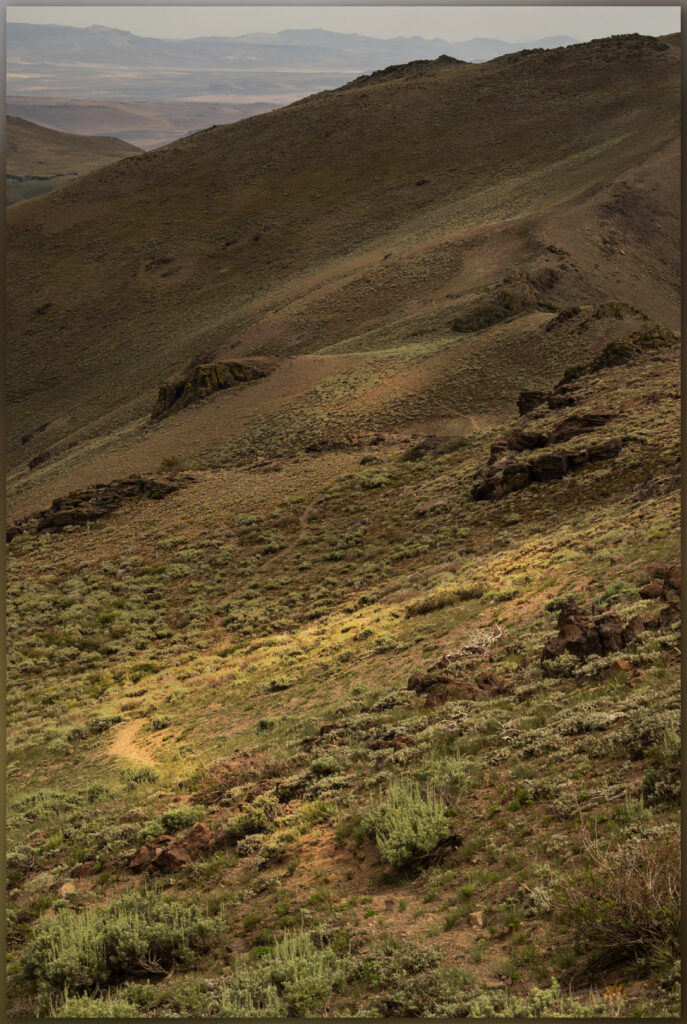
Dry washes. Looking back on the short, dry walk from Little Bell Flat, Great Basin Desert, Nevada, USA
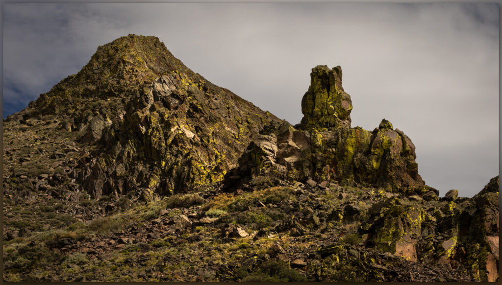
Fairview Peak. Fairview Peak stands above the north end of the Sinkavata Hills, Great Basin Desert, Nevada, USA

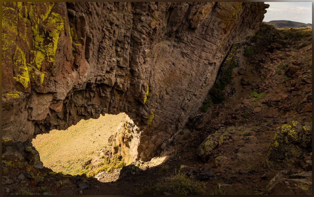
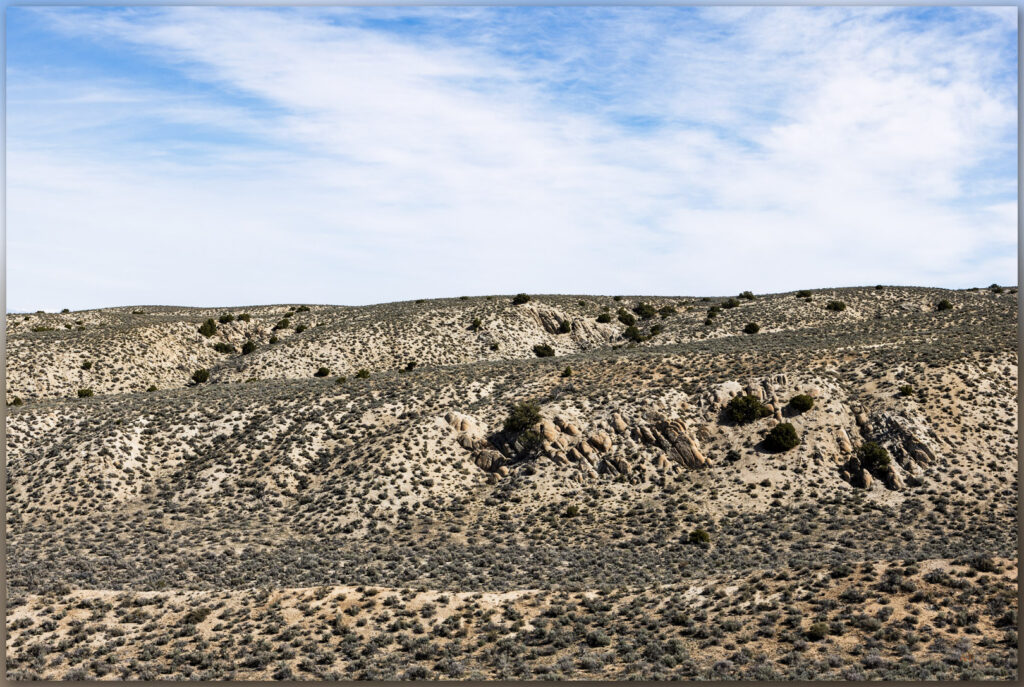
I wandered among tuffaceous outcrops, banded on this west-facing slope, for a couple miles before negotiating a steep cleft in a small summit band of volcanic rocks. A barbed-wire, drift fence, likely separating grazing allotments, surprised me on the upper slope. It seems relatively new. I can drop my pack and crawl under easily enough, but I am often perplexed by these expensive and hard-earned boundaries. I do not suppose they are arbitrary – I have worked with the local agencies enough to know the difficulties of range management – but I often think these might be better-placed around springs and other sensitive habitats rather than draping the high-country ridges and summits. At least the newer fences have a barbless lower wire so that pronghorns, coyotes, and others can duck under to move about their home ranges – as I squeeze under, I also appreciate it, and, yes, I am at home here.

Strands. A drift fence in the altered wild of the Sinkavata Hills, Great Basin Desert, Nevada, USA
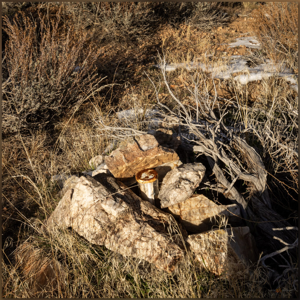
Summit cairn. Summit cairn and register jar at the top of Peak 6399, Sinkavata Hills, Great Basin Desert, Nevada, USA
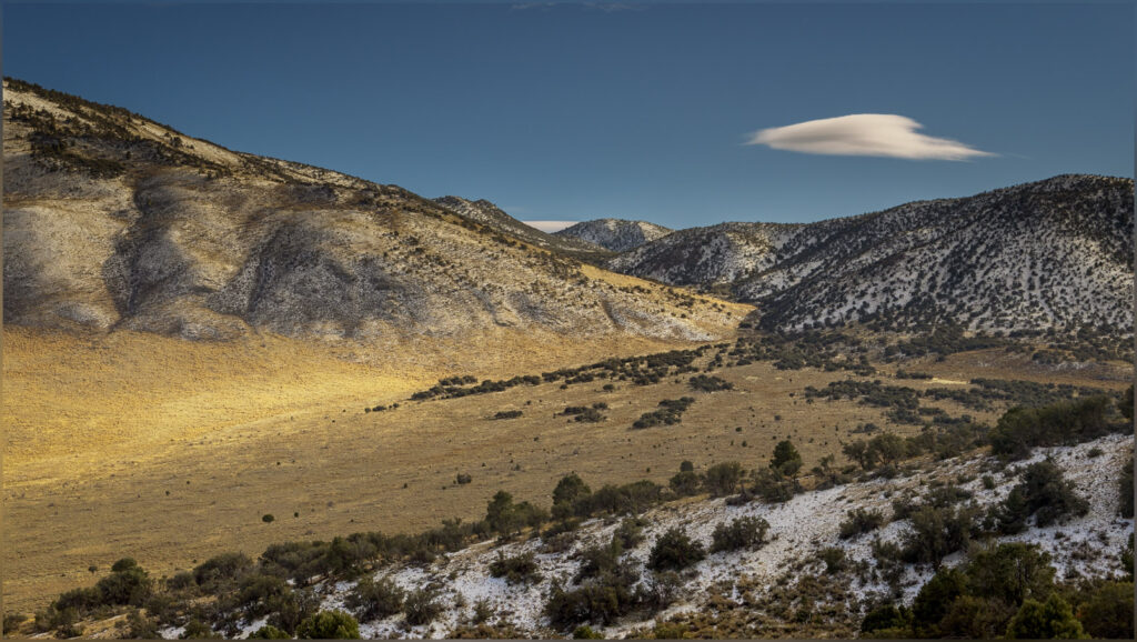
Gabbs Valley distance. The long view to the southeast of Sinkavata Hills, Great Basin Desert, Nevada, USA

As with many of the otherwise forgotten hills, the summit views are wonderful. The larger ranges crease every horizon. The glaring sky pushes my photo compositions toward the ground but I am relatively uninspired – I need to move beyond this. This is my landscape, the altered wild with its hard sky, muted color, and elusive beauty. I can feel it in the crisp calmness of the summit rocks, how do I see and express it.

Sinkavata Image Collection

Autumn remains. A rabbit brush holds its remnant flowers and color in late October, Sinkavata Hills, Great Basin Desert, Nevada, USA

I drop quickly from the summit to the drainages below the west outcrops, volcanic flows that reach to the low hilltop summit. It is a nice walk through the sandy drainages to reach the water trough that rests in the northern reach of Little Bell Flat. It is good to be out, quietly alone, among the hills of the Great Basin. The Sinkavata Hills are not obvious on any map, they do not have prominence, but they can bring mindful quiet to an otherwise noisy and restless autumn. It is good to be out, if only briefly.

Keep going.
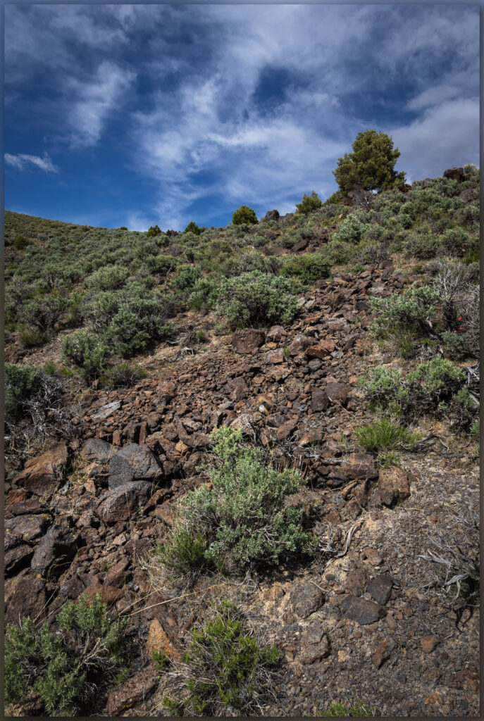
Nevada Highpoints #104 – Bluewing Mountains

D. Craig Young · October 29, 2022 · Leave a Comment

Foothills. Bluewing Mountains, Great Basin Desert, NV

Black Mountain

6617 ft (2017 m) – 2205 gain

2022.08.12

Bluewing Photo Collection


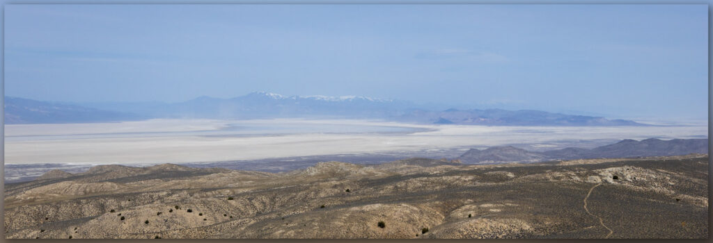
It’s hot. The sky is clear, and a parched blue horizon rests abruptly on the dusty brown of the Nevada desert. It is August, of course, when desert landscape photography is a challenge. It’s difficult to think about photography or exploring another high point when the heat is so seemingly relentless. It also seemed I could not escape from work today, so my departure moved later and later, and I considered turning around for home even as I approached my turn-off along the southern margin of the Black Rock Desert playa. I cannot, however, let the noise of the day-to-day get so overbearing that I can’t find rest in the wild. I turn south toward Bluewing Playa and begin to feel better – putting the scurrying activity of the pre-Burning Man busy-ness at Gerlach behind me and going into the quiet lonesome of Bluewing, a metaphor for the seemingly hectic week that was. I won’t see another vehicle until I reach the highway tomorrow afternoon.

Monsoon remnant. Bluewing Playa, Great Basin Desert, NV

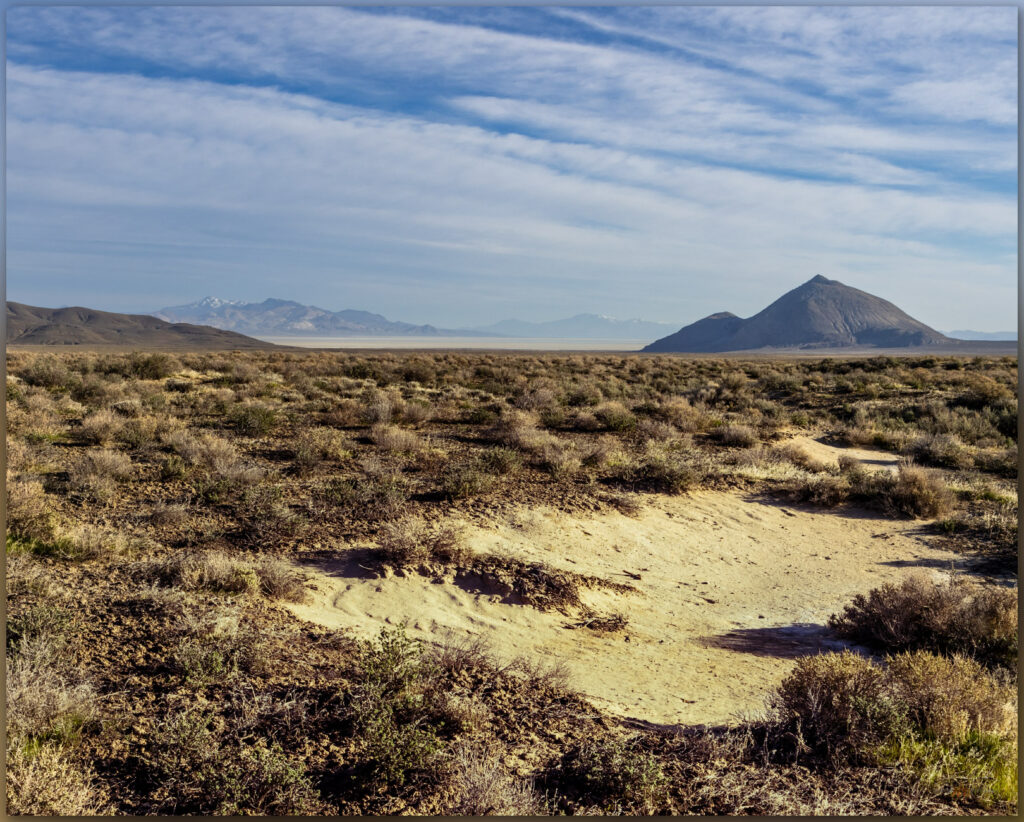
I roll through beach lines of pluvial Lake Lahontan and drop into Kumiva Valley where sandy pediments and alluvial fans extend in a broad flat to the playa below Black Mountain, the high point of the Bluewing Mountains. If this basin held a pluvial lake it only filled a shallow pan before overflowing to Granite Springs Valley to the east. I need to spend some more time here when the days are not so hot.

Bluewing Playa. Limbo Range to the west, Great Basin Desert, NVq

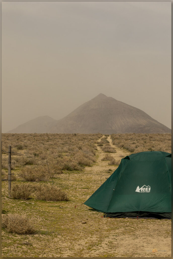
A dusty plume follows until I turn slowly onto a bare two-track that leads to the southern margin of Bluewing Playa. There are a few puddles, surprisingly, but I remember that we had some productive monsoonal storms a few days ago and they clearly tracked across this valley. Feral donkeys stare as I pass slowly by. The playa is dry, and I set camp near the base of Black Mountain, letting the heat seep into every movement; I look toward evening for cooling respite.

Black Mountain, Bluewing Mountains, Nevada, highpoints, summits
Black Mountain. High point (#104) of the Bluewing Mountains, Great Basin Desert, NV

Black Mountain rises abruptly, reaching 2000 feet of prominence above the basin floor. Sitting in the shade of the camp-trailer I plot a steep route to the summit, mapping a sloping descent off the backside of the mountain. I’ll leave in the pre-dawn and hopefully beat the sun at the beginning of yet another scorching August day. Night falls and there is some relief, the southerly breeze stays warm but at least there is movement. I wait in perfect quiet as the moon rises, racing its own shadow along a band of light and dark that moves west to east across the playa. When it arrives at camp, the moon practically jumps above the horizon. Sleep comes surprisingly easy as I listen to the desert silence, the quiet only broken by the rare breying of a donkey far off in the valley – maybe they trail to the remnant pool of monsoon runoff on the playa’s northern margin.

Earth shadow at Bluewing Playa. Great Basin Desert, NV
Mountain shadow. Walking the southern limb above Bluewing Playa, Great Basin Desert, NV

I am awake in the darkness of early morning, brewing coffee and preparing a quick breakfast to fuel the walk. It is cross-country from the playa edge, crossing a set of silt dunes before ascending a gently sloping alluvial fan that emanates from a canyon below the steep southern backslope of Black Mountain. I don’t need my headlamp because the moon lights the way and there is little to impede forward progress on the sparsely vegetated fan. A bat flits randomly in front of me and disappears. I turn into the mountain’s rise as get due south of the summit. I worry briefly that I might encounter scree-sheets of colluvial talus that could impede upward movement, but the talus cones are inter-locked nicely and the clasts provide relatively easy steps. Hands are required occasionally but upward momentum is good, and I climb quickly. The views are splendid even if the clear skies show neither depth nor drama.

Armored talus. Black Mountain, Bluewing Mountains, Great Basin Desert, NV
Rills. Bluewing Mountains, Great Basin Desert, NV
Outcropping. Bluewing Mountains, Great Basin Desert, NV

I move from outcrop to outcrop, skirting scree and talus where I can. Preparing for the coming heat, I reward myself with a good drink of water with each outcrop. I can almost walk steady as the upper slopes begin to lay back, so I work in little switchback to reach the northwestern ridge to look over the full extent of the playa, my camp a small speck on the playa edge. I break over the summit to meet the sun with a vast panorama of hills and valleys. I can see far south toward the Virginia Range above Reno, into the eastern distance beyond the Trinity and Humboldt Ranges, and Granite Peak towers in the north – I’ve attempted Granite Peak previously only to be snowed out, its summit pulls at me once again.

Bluewing Photo Collection

The walk off the east side is gradual and an easy pleasure. I am soon back in the south-side canyon that feeds the fan above my little camp. I have timed the excursion well; the morning is still relatively cool as I return to camp and begin preparations to roll out. It is a short outing, though I will have some time to gouge around the playa margins and explore the overland tracks eastward into Granite Springs Valley. I want to retrace a route to Highway 80 via Ragged Top and Toulon. There are several additional high points to explore in ranges of the ‘Bluewing Triangle’, that vast space between the Black Rock, the Humboldt River, and the Pyramid Lake highway. It’s a lonely, desolate space, precisely why it is such a pleasure to experience. The triangle remains.

Keep going.
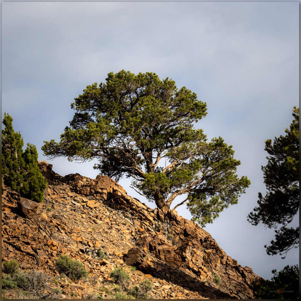
Heat waves. Bluewing Mountains and eastward beyond, Great Basin Desert, NV

Please respect the natural and cultural resources of our public lands. #naturefirst #keepgoing

Nevada High Points #103 — Montana Mountains

D. Craig Young · July 31, 2022 · 1 Comment

Coyote dust. Evening above Coyote Point, Kings River Valley, Great Basin Desert, NV

Mine VABM

7129 ft (2173 m) — 418 ft gain

2022.07.10


Motivation is hard to find in the long, repetitive days of summer. The Great Basin Desert seems to curl and fold within itself, even as hazy heatwaves dance across the expanse. The high-pressure domes that keep moisture at bay seem to press downward and inward, sapping energy and making the horizons of endless days barren of interest. I have been in a holding pattern of field days on projects, day-after-day, rarely home for any comfortable time; the repetition threatening to deplete much interest in pursuit of geodata, of photography (either documentarian or creative), and – I’m surprised to admit – of exploration. I typically look forward to the long drives, on-road and off, from project to project or to trailheads leading to peaks and wilderness. Not lately though, this summer is burning me out – not to mention the hordes of black ants that have invaded our home, a summer nuisance, among other chores, that sucks the remaining energy from seemingly every home-time quiet.

And yet, as I make my way up Pole Creek Road into the Montaña Mountains, the air cools and the depth of evening shadows washes some of the stagnant sweat from my eyes. Even if only momentary, the wildland heights heal the ills of summer doldrums and repetition. I am here to walk the range’s high point, “Mining VABM,” a rolling swell in the Montaña escarpment rising above Kings River Valley. Because I am working with a fieldcrew nearby, it made sense to plan this walk to coincide with my visit, and now I see it might do me some good.

Caldera remnants. Outcrops on the western escarpment of the Montana Mountains, Great Basin Desert, NV

Montana Mountains Collection

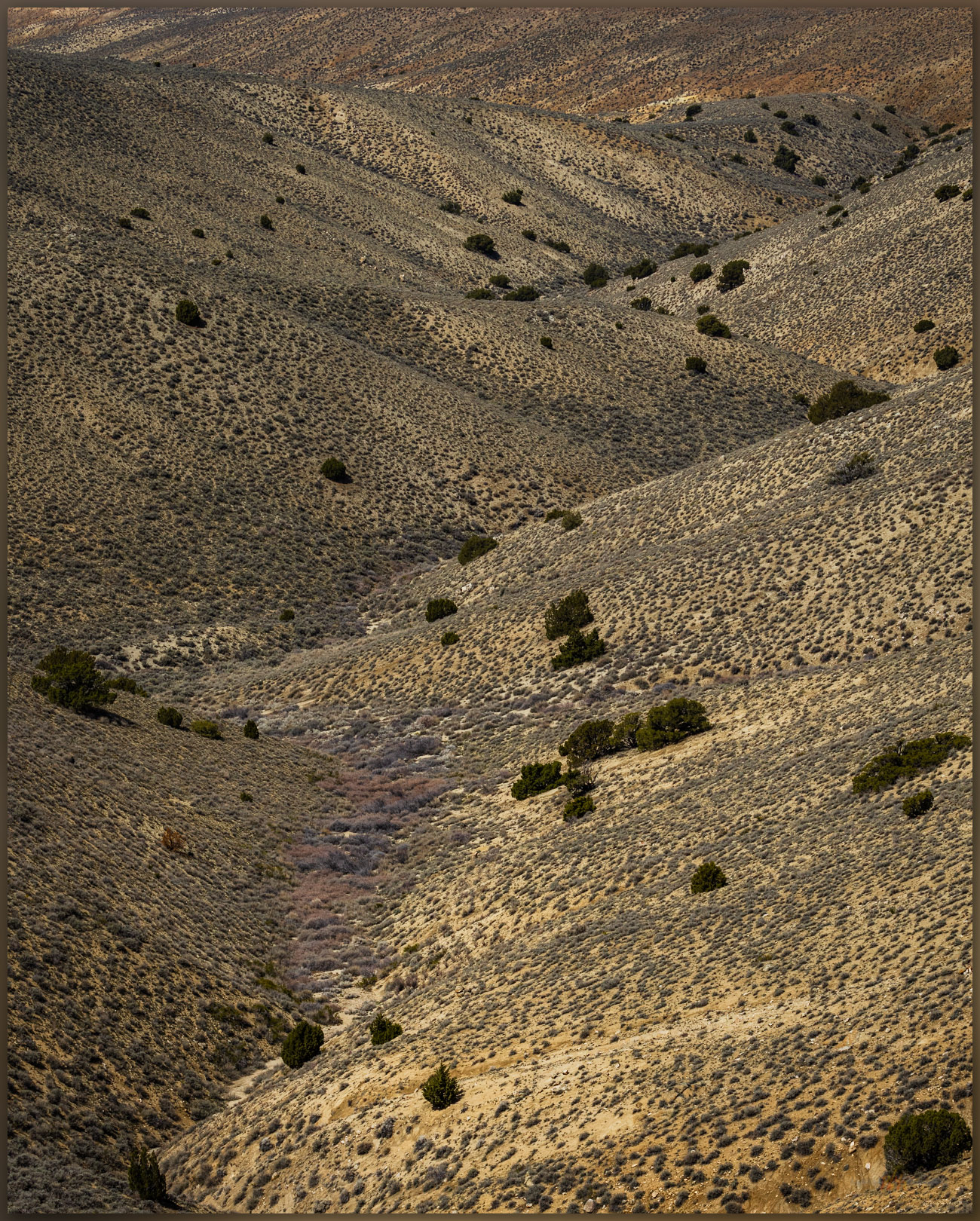
The Montañas are a crumpled and dissected block of uplifted volcanic rocks, with deep canyons splitting rolling tablelands where an occasional butte preserves an old eruptive vent or cone. There is still a little water in the higher streams, and a few of the ponds – often augmented for ranching – hold shallow pools. Although summertime in the sagebrush steppe can seem depleted of wildlife, and many species are definitely hunkered down or simply elsewhere, slow pauses on a canyon rim or along the transition between sage and a grassy burn scar can reveal hints of wild. Walking among rimrocks at the head of a canyon that drops steeply to Kings River Valley, I find a young mule deer, velveted antlers glowing in the setting sun. I step backward to let him be to find a rattlesnake quietly in my way. It does not seem to be bothered by my presence, neither rattling nor posturing, and I can easily bypass it in the quiet.

Sound attention. A mule deer peers from a shady alcove in the rimrock of the Montana Mountains, Great Basin Desert, NV
No trail. A Great Basin or Western Rattlesnake waits on an evening hunt, Montana Mountains, Great Basin Desert, NV
Motionless. The Great Basin Rattlesnake waits, Montana Mountains, Great Basin Desert, NV

The high point walk is a simple wander along the escarpment edge to a broken-down cairn guarding the summit register. From the rolling summit knoll, I can look down into Kings River Valley and southward into the expanse of Desert Valley. The agricultural imprint of the valley bottom is a regularized pattern of green and brown, but an altered wild surrounds the regularity, and only the sprinkler pivots and ditch irrigation keep the inevitable arid squeeze at bay.

Mine VABM. The unassuming high point of the Montana Mountains, Great Basin Desert, NV
Fading distance. Kings River into Desert Valley from the high point of the Montana Mountains, Great Basin Desert, NV
Pivot and bins. Kings River Valley, Great Basin Desert, NV
Summit register at Mine VABM, Montana Mountains, NV

Although a well-traveled dirt road traverses close the summit, the cairn seems rarely visited. I register as usual, and the hike back to the truck parked well down the road. There is little elevation gain, but it is a good walk nonetheless. It cools into the evening as I camp on the escarpment edge, where a half-moon stares at me throughout the night, washing the stars in a blue-grey blur, an echo of the dusty haze that bled the color from the day.

Escarpment camp, Montana Mountains, NV

Six hens. Sage Grouse in the Montana Mountains, Great Basin Desert, NV

Montana Mountains Collection

While the high points and wild lands, whether protected wilderness or the altered wild that forms so much of the Nevada outback, bring refreshment even at the height of summer, I worry that the altered wild is taking an unsustainable beating – federally protected wilderness being the one true refuge (for now) from development. As our infrastructure picks and prods at the remaining open space, and all wildlands (protected or not) breathe the global heat of economic and societal engines, I am part of the problem. I live and work in that infrastructure; and though my work seeks to understand and mitigate some of the adverse effects of local development, I am torn by opposing forces and my obvious hypocrisy. Like so many other wild places, the Montaña Mountains provide momentary surcease in the midst of the turmoil of climate change, environmental degradation, and political short-sight. What can these small, non-descript ranges teach me about adapting to and mitigating the pressures of the coming heat and aridity? There remains much beauty and refuge in the altered wild, our impacts are certain and may sometimes be necessary, but we must also proceed with caution, critique, and care.

Keep going.
Nevada High Points #102 – Pinto Peak

D. Craig Young · June 13, 2022 · Leave a Comment

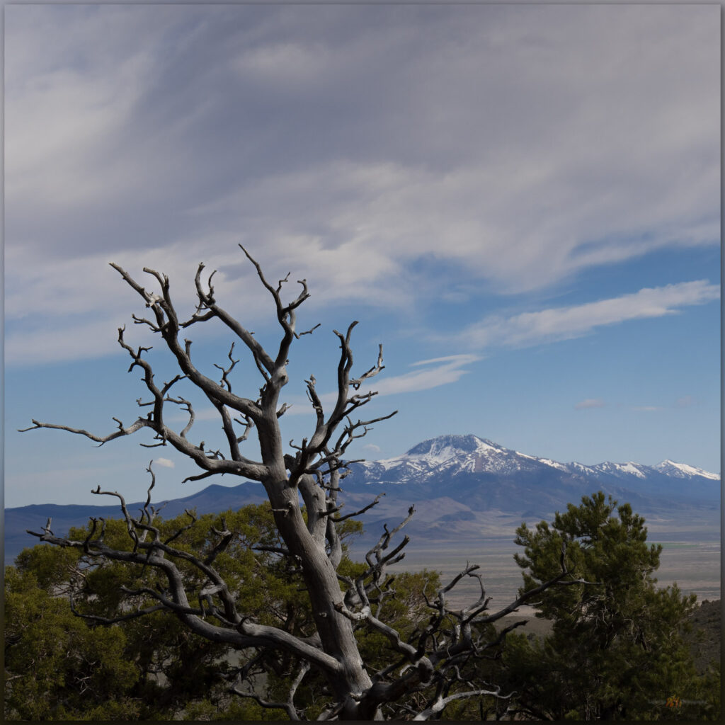
Shadow approaches. Early summer cumulus bring hints of darkness to the warm evening light, Pinto Peak, Great Basin Desert, NV, USA

Pinto Peak

6711 feet (2046 meters) — 630 feet gain

2022.05.25

Pinto Peak Collection


The ancient Cottonwood Caldera, a massive volcano that erupted sometime around 17 million years ago, dominates the landscape west of High Rock Canyon and the Black Rock Desert. With basin-and-range faulting, several small ranges form the rough bounds of the much older caldera. Obsidian that formed during the eruption drapes many area landforms, so I have been gouging around this area for several decades mapping the natural distribution of this traditionally important toolstone to provide geographic setting for archaeological study of the technology, movement, and economy of people who have called northern Nevada and the larger Great Basin home for millennia – the geochemistry of obsidian provides direct connection to these things.

Caldera edge. Evening light on rhyolite outcrops with Granite Range in the distance, Great Basin Desert, NV, USA
Toward Fox. Looking over the Pinto Basin at the edge of the Cottonwood Caldera, Great Basin Desert, NV, USA
Donnelly Peak. A view to the east across the Cottonwood Caldera, Great Basin Desert, NV, USA

But this is a high points blog. I mention calderas and obsidian because quite often, if not always, and among other things, this research motivates my backcountry travel, at times it even funds it. I am fortunate that my vocational and avocational activities are intertwined and embedded with almost everything I do – it is who I am. So here I am out with my field team in the middle of the Cottonwood Caldera, drawn in the evening to Pinto Peak on the caldera margin.

Pinto Peak. An unassuming summit at the edge of the Cottonwood Caldera, Great Basin Desert, NV, USA

Pinto Peak is a simple walk of about a mile from the old ‘Bonneville DC line’, at one time rumored to be one of the few, if not only, untapped DC transmission lines of its size, spanning the distance from the Columbia River to Los Angeles. Coincidently and maybe unfortunately, the line bisects basins I have long been interested in, from the northern Great Basin to the Mojave Desert. I have followed its maintenance road for hundreds of miles mapping landforms and obsidian. Here I am again, parking under a pylon and walking away from the setting sun.

The line tower. The DC line on a corridor from the Columbia River to Los Angeles, coincidently traversing several major obsidian sources along the way, Pinto Basin, Great Basin Desert, NV, USA

There is no trail and I simply make my way up a gently sloping western ridge. The light is nice, with false storm clouds building into the evening. There doesn’t seem much to photograph but the light and shadows are special tonight. The distances glow as ridge lines and outcrops stand out momentarily and are as quickly gone in shadow and haze. It is a special night even if the climb is little more than a walk among sage, perennial flowers, and rhyolitic boulders.

There are only five other signatures in the register. That’s five signatures since 1999 when the register was placed – I sign on the second page. This is not a peak that would draw your attention from anywhere, one visits when collecting highpoints or hunting birds maybe. Still, the view of the caldera is great and I can see many of the ranges we have visited in the past. The light fades just as the sun cuts through the low western sky and I drop to the truck very satisfied, even though I didn’t hit my usual goals for elevation gain and distance on this minor peak. I did, however, very much enjoy the evening.

Pinto Peak Collection

Driving to camp I could only consider the good fortune I have to work and travel in the Great Basin, especially when evenings like this are revealed. I chased dust on the dirt of Highway 34, rolling along among wild horses and dispersed pronghorn. The vague Irish green of fading spring seems to glow in the early dark. Wind rushing past the open window. Evening like this, watching the light fade and dust settle, make the increasing anxiety of a tumultuous world – even if was volcanic and tectonic tumult that formed this landscape. At least I can smile for the long moments of the drive to camp, and all is good for the evening.

Keep going.
Nevada High Points #101 – Slumbering Hills

D. Craig Young · June 1, 2022 · 4 Comments

Waking the giants. A granitic pluton emerges from the Slumbering Hills, Great Basin Desert, NV

Unnamed

6531 ft — 1991 m (1593 ft gain)

2022.05.18

Slumbering Images Collection


Slumbering Hills (2018). Great Basin Desert, NV, USA

There is something in the Slumbering Hills. The unnamed high point is below 7000 feet in elevation and there are few riparian areas, only scattered springs, and absolutely no trees. Cheat grass and desiccated plants of sagebrush and saltbush communities show the struggles of fire and scabby recovery; mining pits and piles pock the numerous roads and tracks that traverse the range. It seems unappealing and easily unassuming from the highways where one glimpses higher, snow-capped mountains that rise in the distance, drawing sightlines to obviously higher horizons. And yet, the late evening light of each day turns a brief trick of alchemy as golden hour sets magic at play. Some of my favorite Great Basin imagery comes from these magical hills. Appropriately, the hills’ magic would trick me in other ways too.

Silver State playa. A small playa at the intersection of lacustrine remnants and the distal fans of Silver State Valley, Great Basin Desert, NV
Silent perch. A raptor waits among the rocks, Slumbering Hills, Great Basin Desert, NV

For the past several months I have been working nearby, studying the paleogeography of obsidian and its use in the northern Great Basin, and this provided the opportunity to hike into the Slumbering Hills. Obsidian is absent from this range, but I wanted to get closer to the photographic magic I had experienced several years ago and, of course, find my way to the range’s high point. With this in mind, I left camp one afternoon with Joe Burfield, a collaborator on my current project, working our way into Humboldt Canyon below Awakening Peak. We climbed grassy slopes to gain an east-facing ridge, finding a barking pronghorn antelope as we approached the rocky outcrop of the summit. The climb was a pleasure that later turned to surprise as, downloading my images and checking my high point catalog, I realized that Awakening was not the apex of the range. It was the obvious summit in my early photo, and I had fixated on it, forgetting to check my catalog — I had led us to the wrong summit! Not the third time I have made this mistake. No worries, it simply meant another walk with Joe.

Sleeping green. The grasses of spring begin their fade to summer, Desert Valley, Great Basin Desert, NV

This time we traversed the base of the hills to a point further south, leaving the old site of Daveytown and following a sandy two-track to Pickhandle Pass. As we drove, we climbed into a garden of granitic knobs and outcrops, each a puzzling, bulbous crag or an impossible set of balancing boulders hosting little kingdoms of a ruling raptor or raven. Take Owens Valley’s Alabama Hills, bury it in alluvium, and lift it into the sky; it is something like that. We pointed and laughed at the surprising formations that kept popping into view. I had camped here year’s ago, approaching from the west, so I remembered the ridge-line two-track leading south from Pickhandle Pass. We parked somewhere near my old tent site, looking forward to a three-mile wander among the granite hoodoos to the range’s true, though unnamed, high point (I was sure this time).

An ancient delta. Distant sand dunes mark a former delta of the Humboldt River below Blue Mountain in southern Desert Valley, Great Basin Desert, NV
Heading home. A ground contrail below the Jackson Mountains, Desert Valley, Great Basin Desert, NV

Vast sand dunes ramp along the southern margin of the range; wind-driven remnants of an ancient course of the Humboldt River, from a time when it veered into Desert Valley to join the Quinn River, probably some time in the Late Pleistocene. Today, the wind was carrying loads of fine-grained desert loess from the playas of the Black Rock Desert and beyond – this is the magic dust that imbues the Slumbering Hills with its golden hour personality. It did not disappoint.

A quick glance. A pronghorn antelope near the summit of the Slumbering Hills, Great Basin Desert, NV
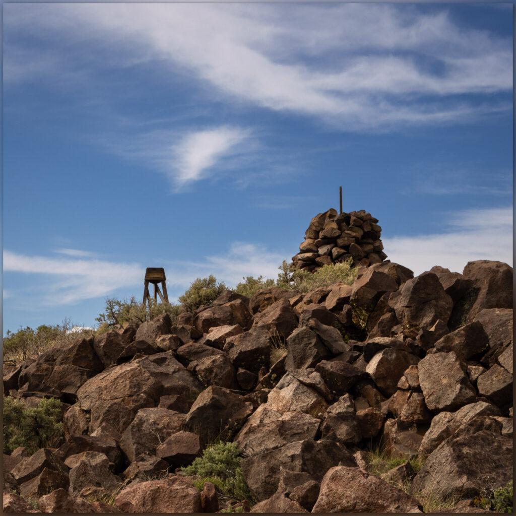
Summit cairn. The high point of the Slumbering Hills, Great Basin Desert, NV
Joe. Making our way into the evening below the summit of the Slumbering Hills, Great Basin Desert, NV

After a brief visit with a pronghorn antelope, yet again grazing below the summit, we climbed into the golden light of the summit, a cairn and register confirming that I had navigated correctly. The sun was setting as we paused for a time, bracing in the wind but warmed by the beautiful glow of the last light. We could look several miles north to see Awakening, where we had been only a few evenings earlier. Our descent would be in twilight, venturing into night. Joe’s headlamp eventually found the rig in the dark grass of the two-track. Our drive’s conversation would inevitably turn to the pleasure of having ventured into this bedraggled little range twice, not disappointed and by no measure a waste of time. We would roll into our camp near Orovada just prior to midnight, a worthy day of magical light.

Slumbering Images Collection

Lenticulars and dust. The wind operates high and low above Silver State Valley, Great Basin Desert, NV

My last few high point excursions – even the one that did not count – have been evening walks. While I enjoy the challenge of photography and will seek out a trail at all times of day, the golden hour of a Great Basin evening, with dust, straggling clouds, and wispy virga – the aborted promise of moisture – among the contrast and saturation of low-angle light, is the epitome of a day’s completion. I have often known summer heat to abate or winter storms to break with the fading light, as the energy of the day wanes and the sun’s last rays scrape the topography to pile shadows into canyons and stack highlights among outcrops and ridge lines. This is the time to wander and see; when the experience of the Great Basin is at once, and almost daily, sublime. The walk out can be dark, but the memories light the way.

Keep going.
  • « Go to Previous Page
  • Go to page 1
  • Go to page 2
  • Go to page 3
  • Go to page 4
  • Interim pages omitted …
  • Go to page 10
  • Go to Next Page »

Using socials responsibly…

Trail Option

Copyright © 2023 · Monochrome Pro on Genesis Framework · WordPress · Log in

  • Contact TrailOption
  • Waypoints Bibliography
  • Young Archives