Arc Dome
11,788 ft (3593 m) – 4005 ft gain
2021.05.14
Sometimes life gets in the way. As Second Friday approached, it appeared the workaday world required more that its usual allocation. Although I am fortunate to have spent much of my career working outside and have been overlanding since it was just called ‘travelling to field camp’, running a company must be ‘work’ sometimes. Our summer field season is kicking into gear, we have had a bit of a hiring push, and there remain projects to finish; sometimes there are not enough hours in a day.
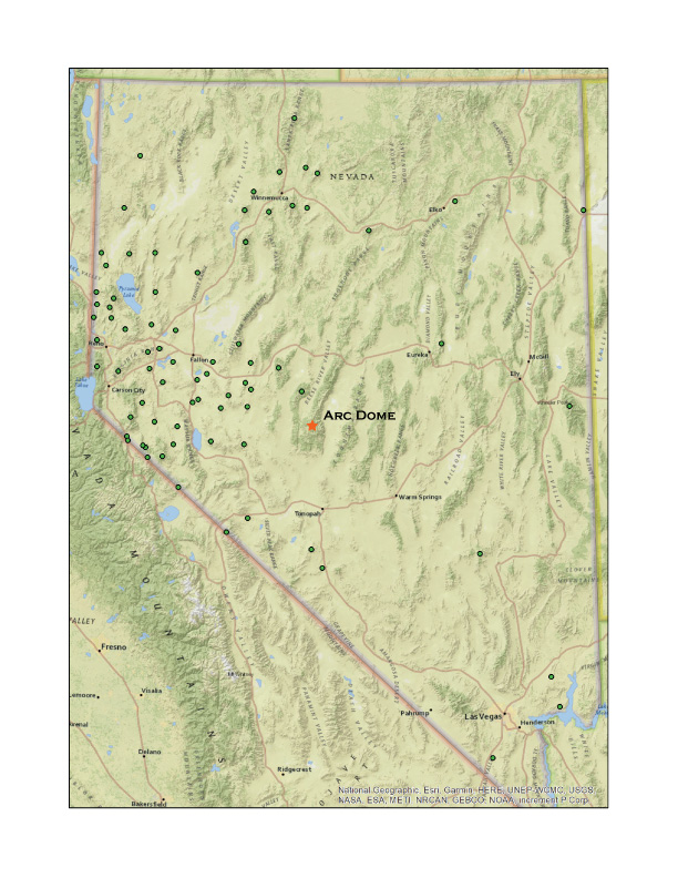
Darren and I had charted an excursion to climb and photograph Arc Dome, the high point of the Toiyabe Range, the first of a series of ranges that march across central Nevada and reach heights well above 11,000 feet, higher than the local peaks of the Sierra Nevada rising above my home. I could not, however, focus on planning our trip and I considered postponing for a week or so. But work is not life, and life is not work – though I have a great passion for many things about my vocation – and balance leads to both better work and better life. There is no skipping Second Friday.
We met in Carson City in the pre-dawn and drove east to meet the sun. The beginning (and end) of each journey is repetitive: the same Hwy 50, usually, east along the Carson River, curving through the Carson Sink, beyond Sand Mountain and into the outback. At Dixie Valley my mind accepts that we are in the expanse. Highway traffic has dwindled (though Hwy 50 in no way resembles ‘America’s Loneliest Highway’ as the signs suggest), and I start to anticipate the turn onto dirt to traverse valleys the Great Basin long way, north or south. Today we turn south toward Ione, Nevada, climbing Buffalo Canyon before dropping at the midpoint into the length of Smith Creek Valley and Ione Valley. The valleys are nice and lonely this morning, ours the only dust plume.
One more pass, across the Shoshone Range, and we are in Reese River Valley, where the horses of the Yomba Paiute-Shoshone Reservation thrive along the broad floodplain. We climb onto the east-side fan, uplifted along the reach of Stuart Creek that points to the Columbine Trailhead. The Forest Service campground is in great shape, but, to our surprise, it is empty. It really must be post-pandemic – if movie theaters and restaurants get to capacity, maybe the backcountry camps will be quieter. Simple packs loaded and the climb begins immediately at the trailhead sign; we are immediately within the designated Arc Dome Wilderness.
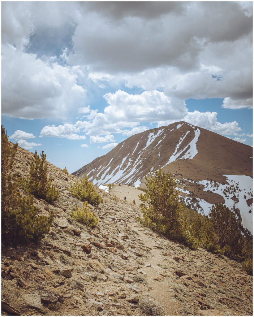
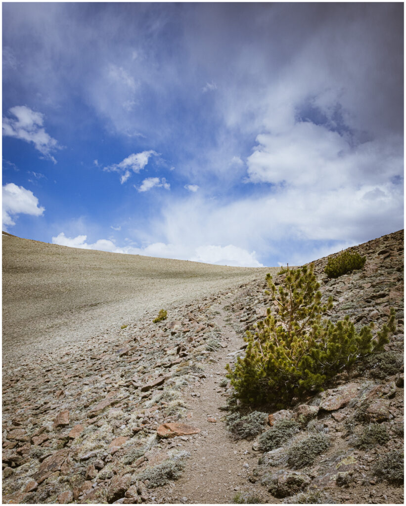
Moving in and out of an aspen woodland – aspen groves are actually a single living entity, this one happens to be the largest living thing in Nevada’s Great Basin, we climb steeply as the trail navigates the distal side of a series of glacial moraines, remnants of a time when Nevada was more like Iceland than, well, Nevada – when glaciers, hot springs, and vast lakes prevailed. Today, only rounded ridges and lobes remain to mark the once conveyor-belt of ice and snow that emanated from the highlands of the Toiyabe Range. Like most Nevada highpoints, the trail to Arc Dome is neither technical nor difficult to find. It is an exceptional track; it is not prominent, but the narrow tread leads onward. The trail from Columbine Camp joins the Toiyabe Crest Trail (TCT), which runs along the high ridge with occasional switchbacks and otherwise sinuous wanders between east- and west-facing slopes before dropping into side canyons. The Toiyabes have a relatively comprehensive trail system that extends from the axis of the TCT.
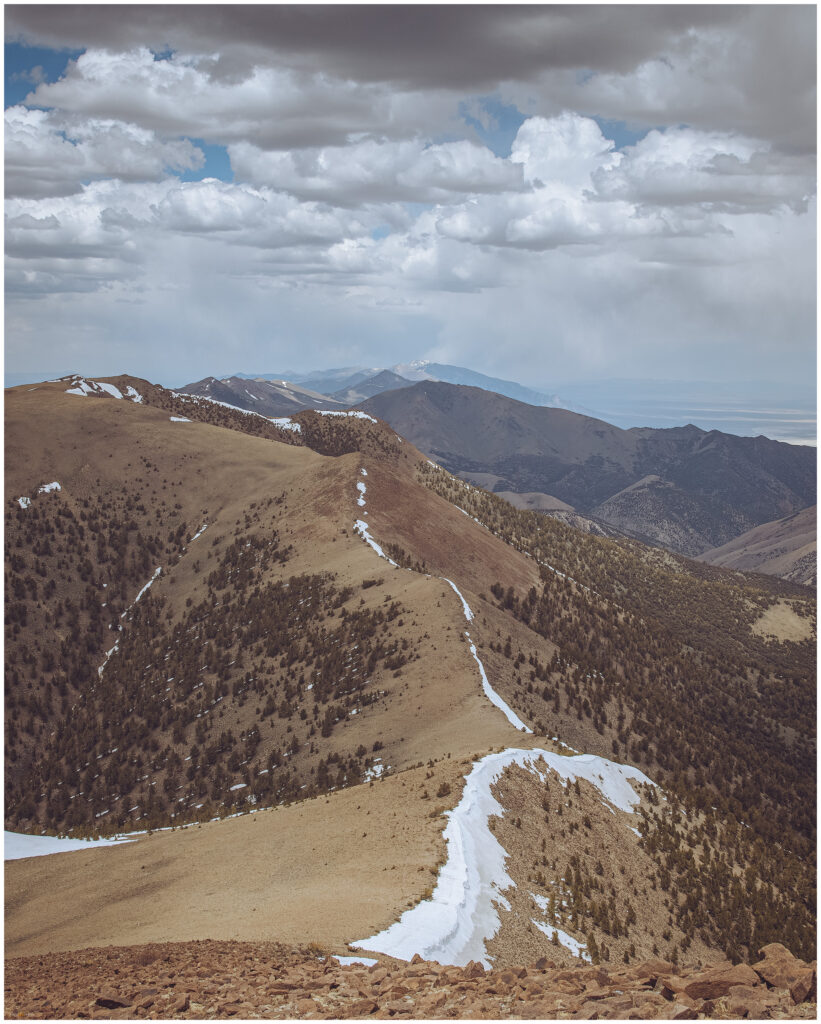
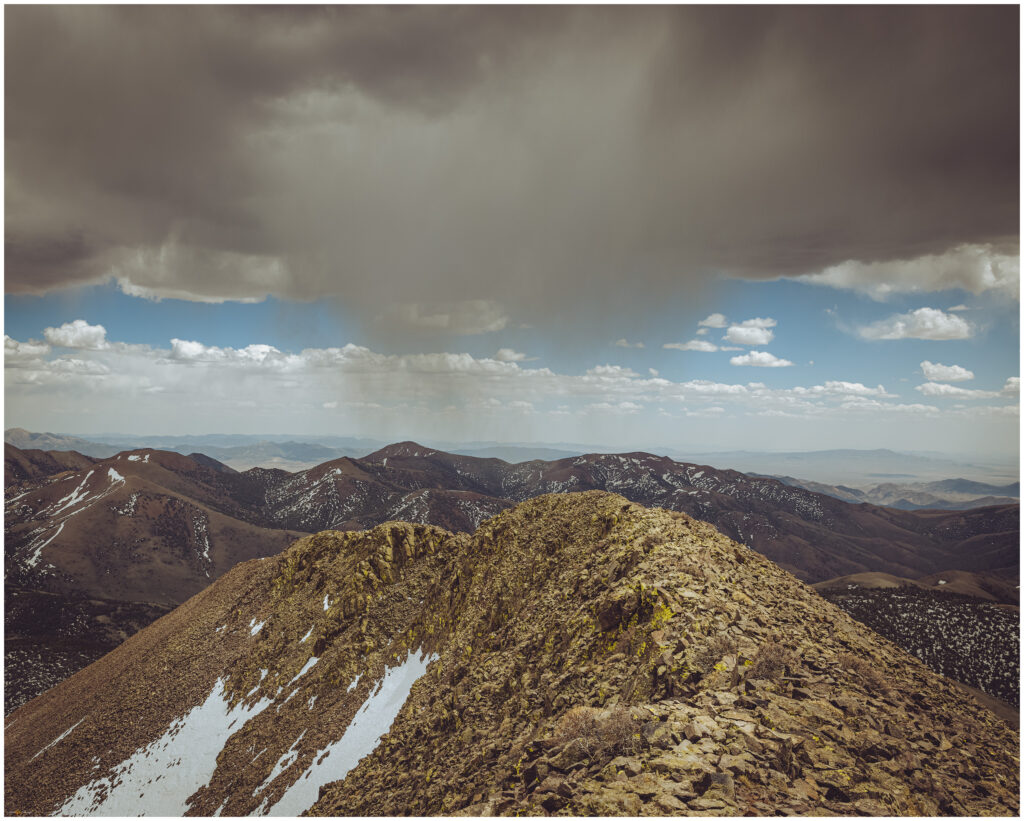
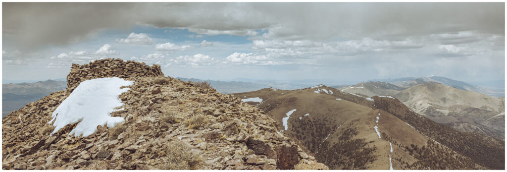
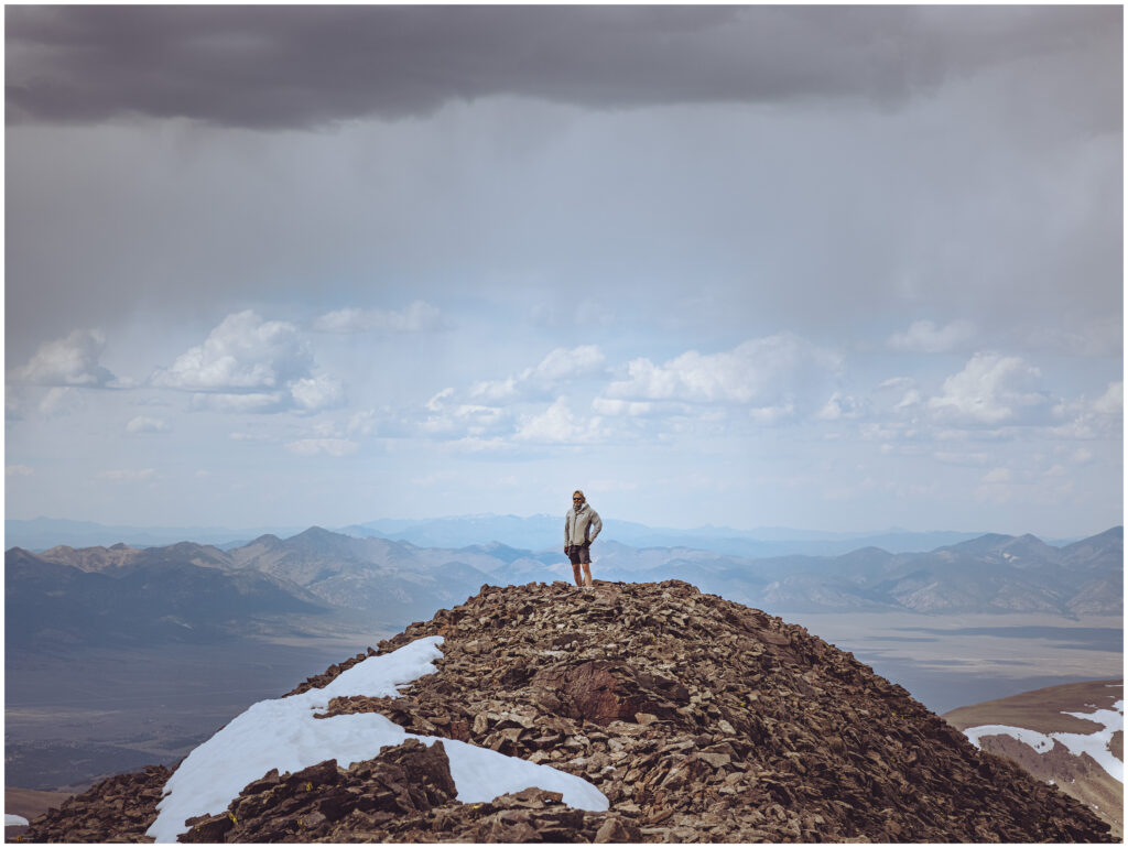
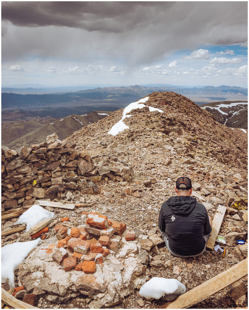
Storms are building. Some in the distance look organized but those above the range look dramatic but after a snow-spitting bustle, the splash through and then evaporate. It is beautiful, and because these storms lack electricity, it is great walking weather. We jacket up for the last 700 feet, a near-vertical slope with dozens of short switchbacks. A Golden Eagle dives past, hunting along the downdrafts. There is a single ‘false summit’, our prominent goal for the last half-hour before we see the high point – and rock structure – a few hundred meters further south. The wind has calmed and for a few moments the summit s silent. Virga curtains hang into the canyons below the peak.
Although the Mount Jefferson tableland to the east is higher. The local prominence of Arc Dome makes it special, summit ridges drop steeply, and the grand view extends across mountain-after-mountain, range-upon-range, to the horizon. I had wanted to visit this summit for over thirty years. Nice to be here, finally.
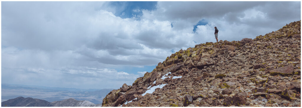
We had some trail choices on the way down but chose to keep to our route. Although never difficult we had navigated several snow patches and one interesting cornice, so our familiarity with the conditions of our route up outweighed exploring the other trails. Any route back to the trailhead had north-facing slopes to traverse, and I have many times experienced surprisingly deep snow and downed trees that added undo adventure to a simple descent. This meant, however, that we had almost a thousand feet of climbing on our way down. That is some good uphill on the downhill! It is seven miles with a few canyons and saddles to traverse before the direct drop to the trailhead.
A camper has arrived, doubling the population of Columbine Camp. We, however, soon depart leaving the campground to the latecomers. It is time to head south to Cloverdale Canyon to map obsidian, though my legs may complain about any extra wanderings this evening. It was good to be high again. There is so much happiness in the high country in great weather, with a bit of drama, anywhere above, say, 10,000 feet, breaking into the sub-alpine ecology, pulled by the sky’s expanse, deciding which peaks to turn to next. So, we can look back toward Arc Dome and that perfect Second Friday in May.
Keep going.
Please respect the natural and cultural resources of our public lands.
