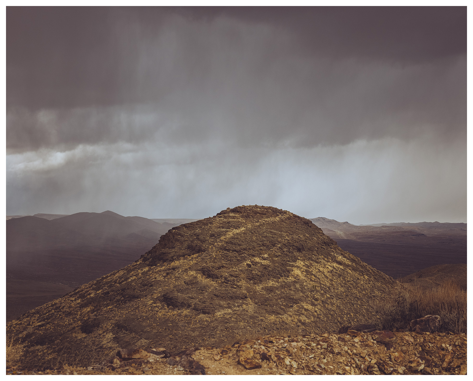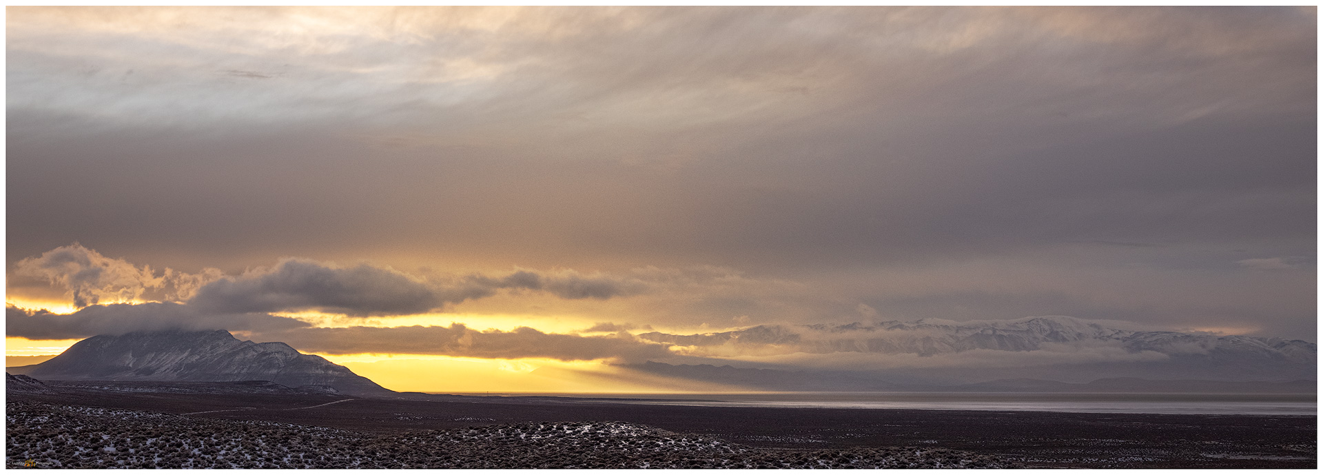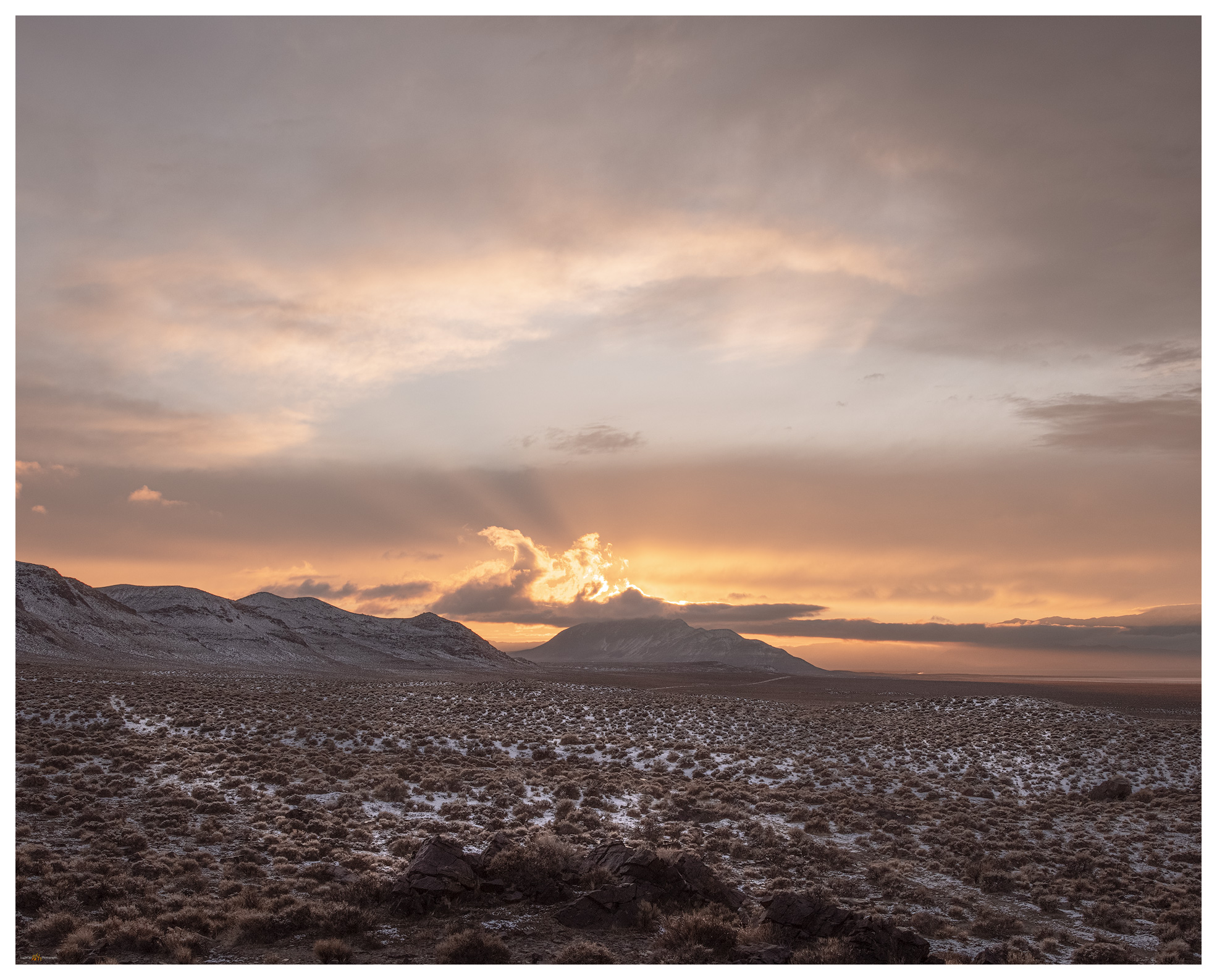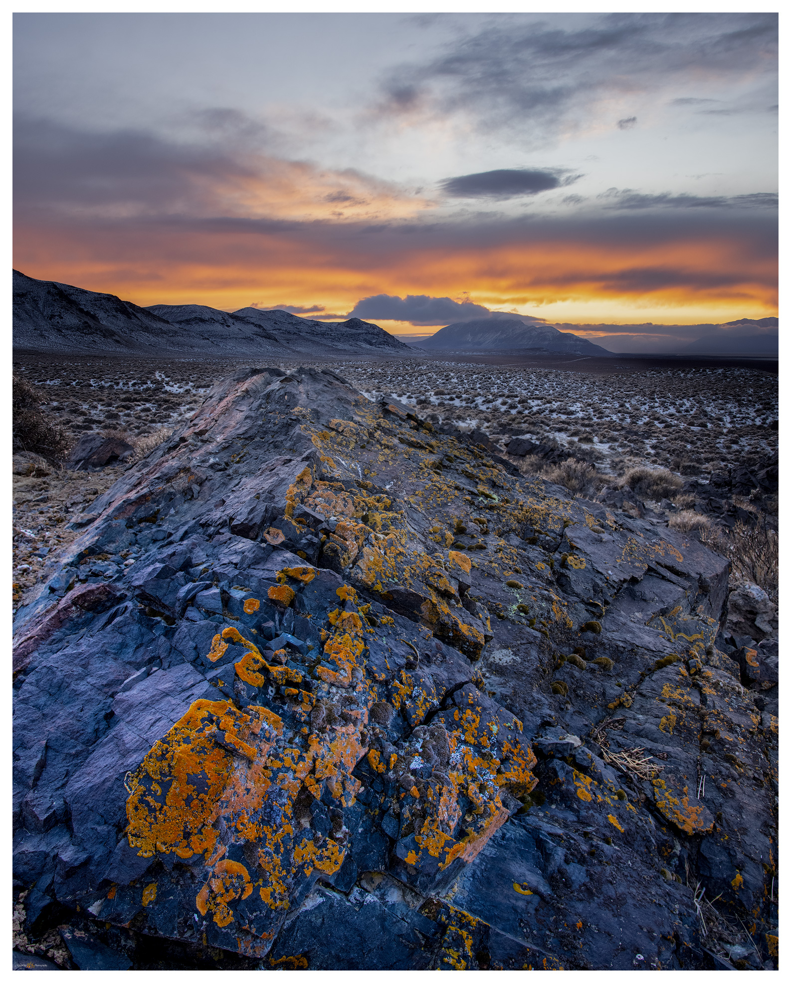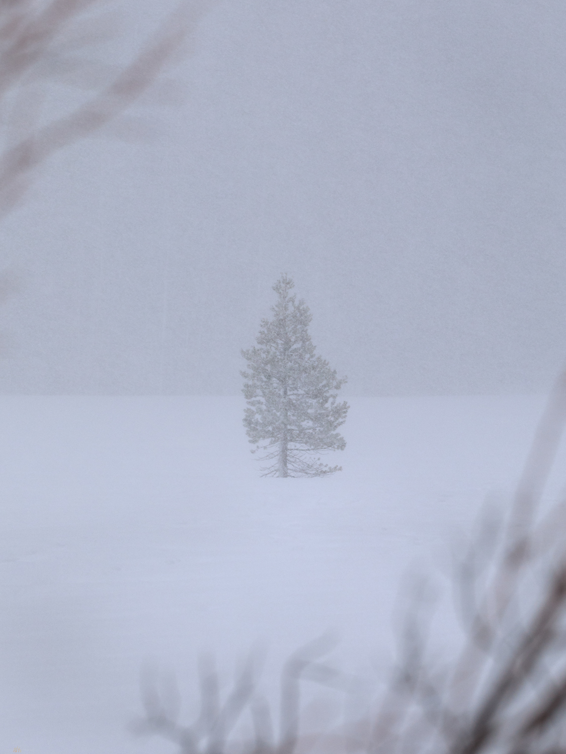
Winter’s coming, and the first snows have arrived. Although it snowed a little at StoneHeart in Carson Valley, I had watched the storms reorganize over the central Great Basin. How much would there be in the Paradise Range near Gabbs, Nevada? Well, a lot more than I thought.
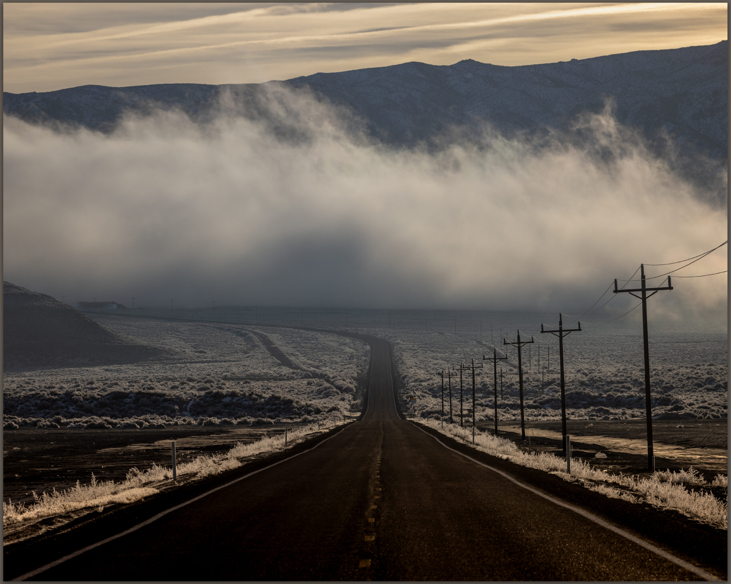
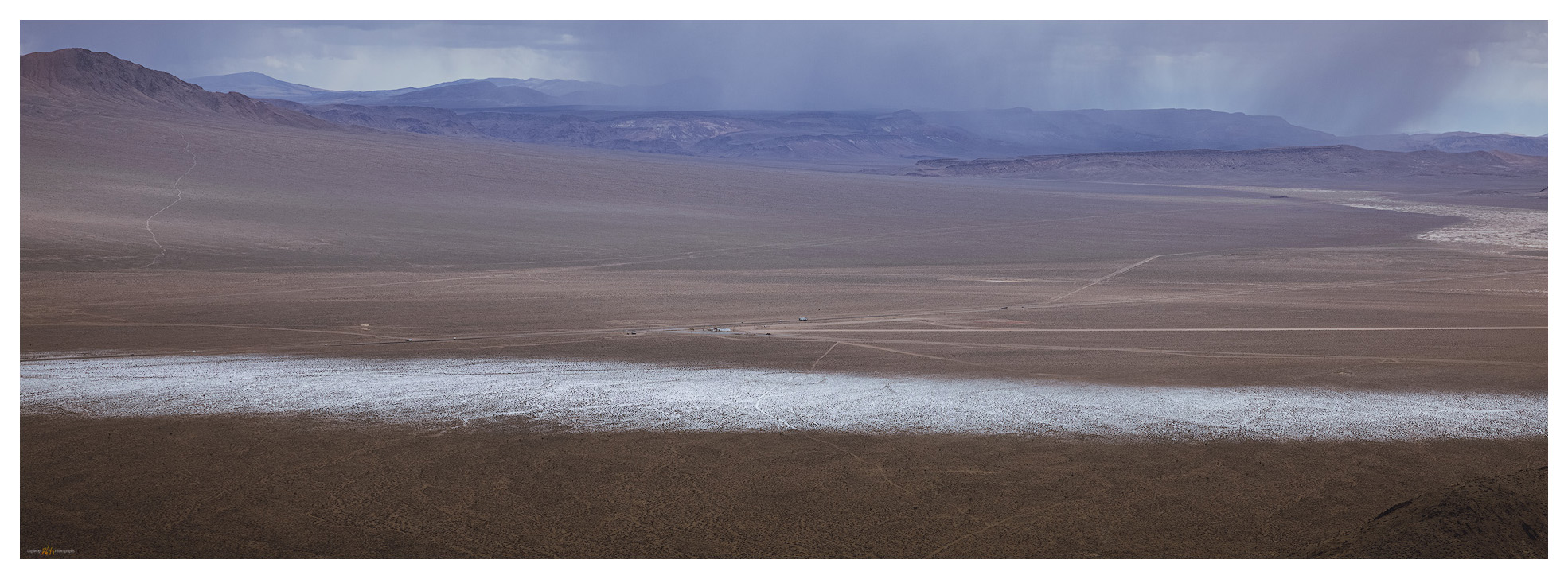
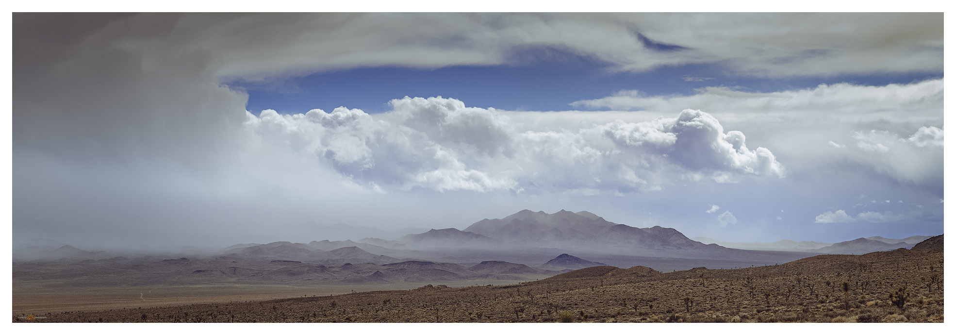
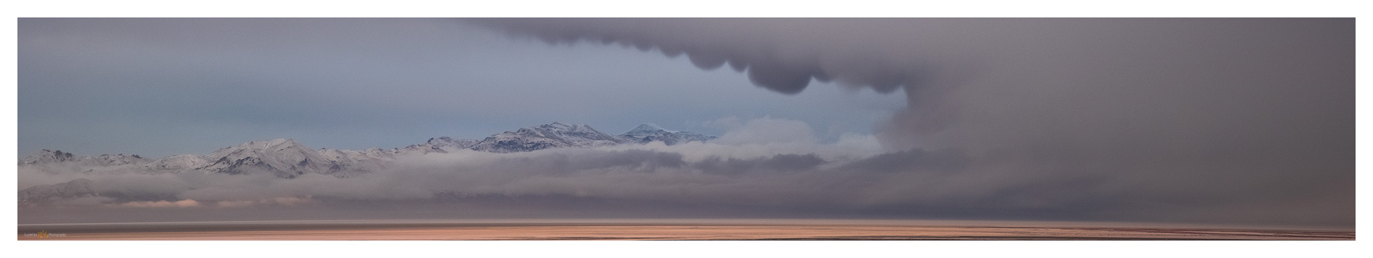
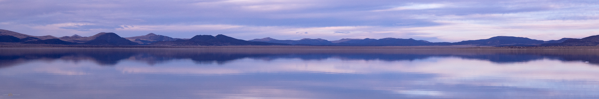
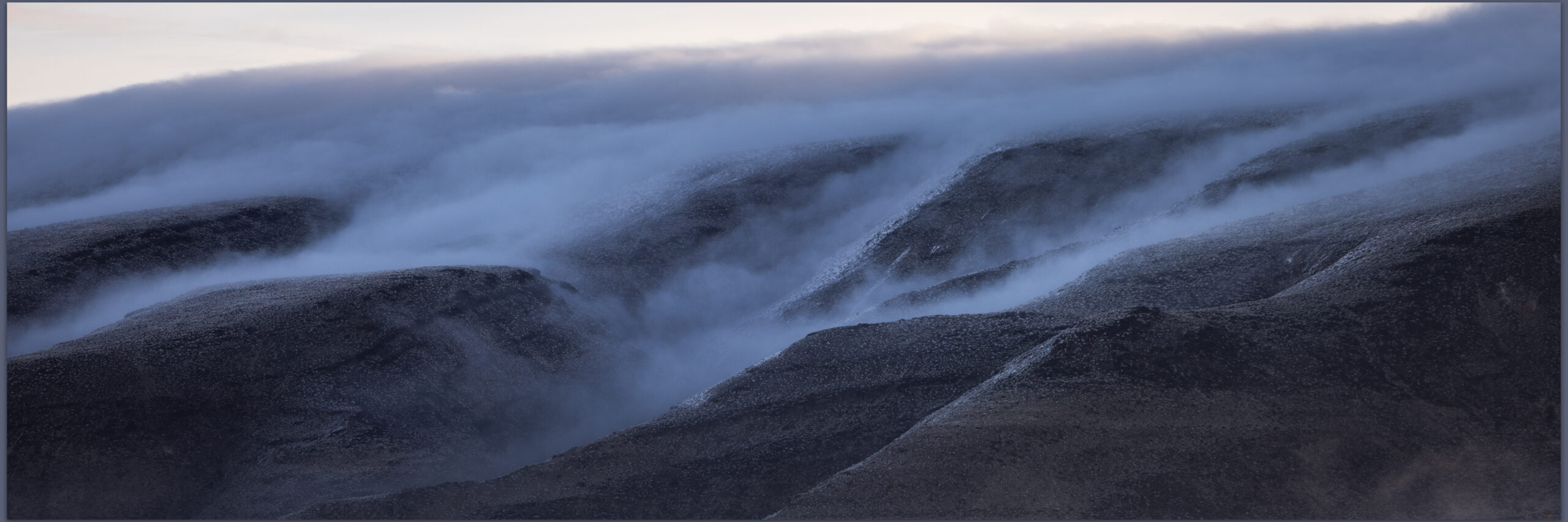
Darren and I hit Highway 50 in the pre-dawn, fog hanging low along the Carson River. At Sand Mountain the low clouds receded up mountainsides, with misty dollops scudding along the dune and its nearby hills. We were closed in at Labou Flat and Dixie Valley – nothing but the black line of the highway leading onward.
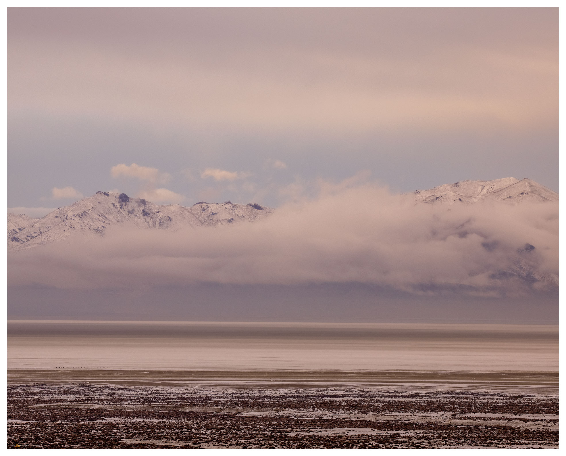
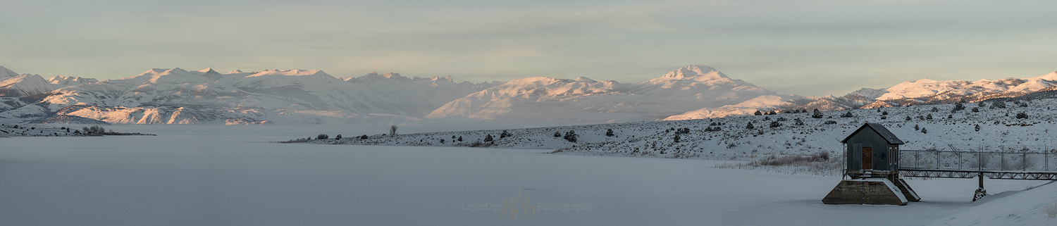
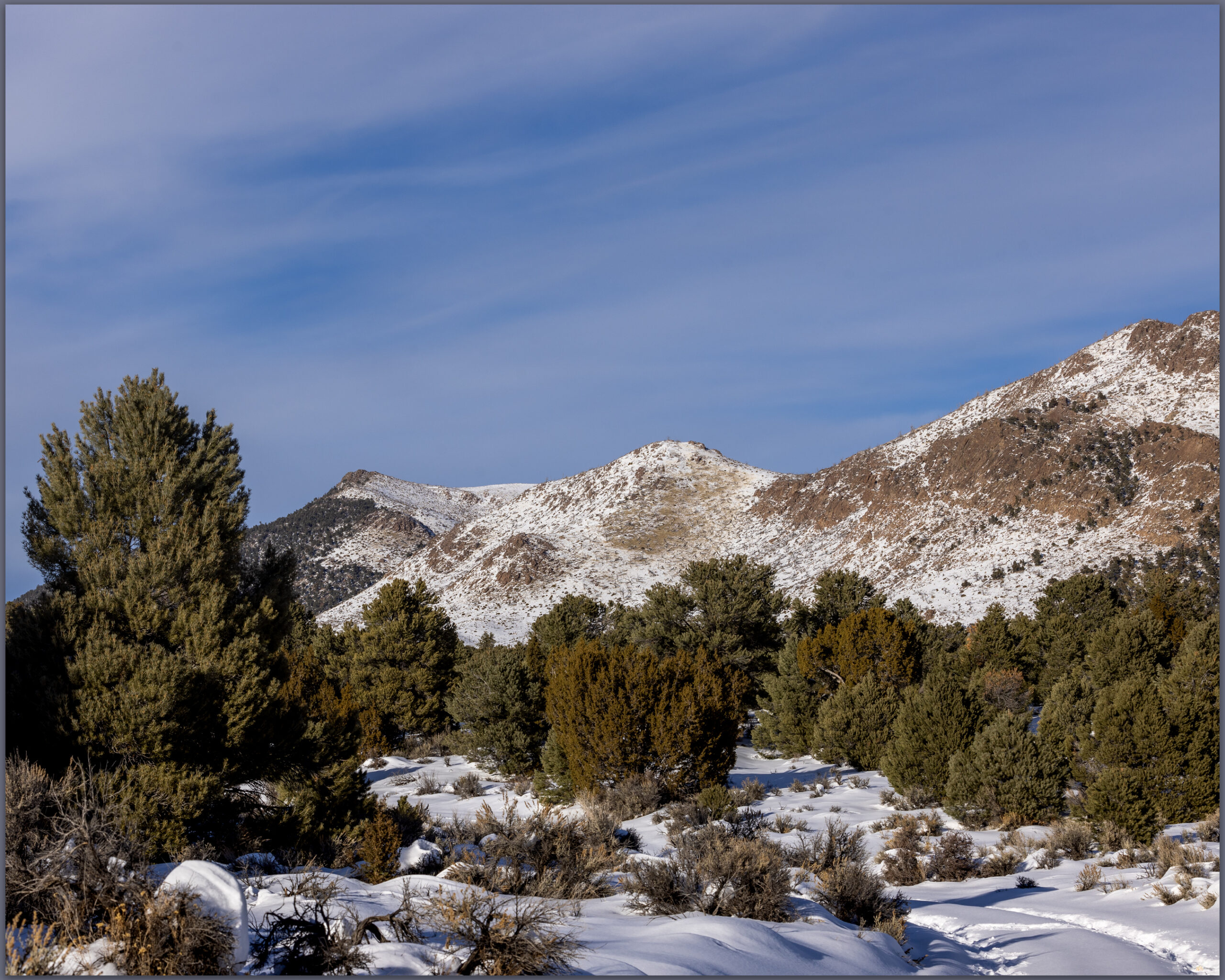
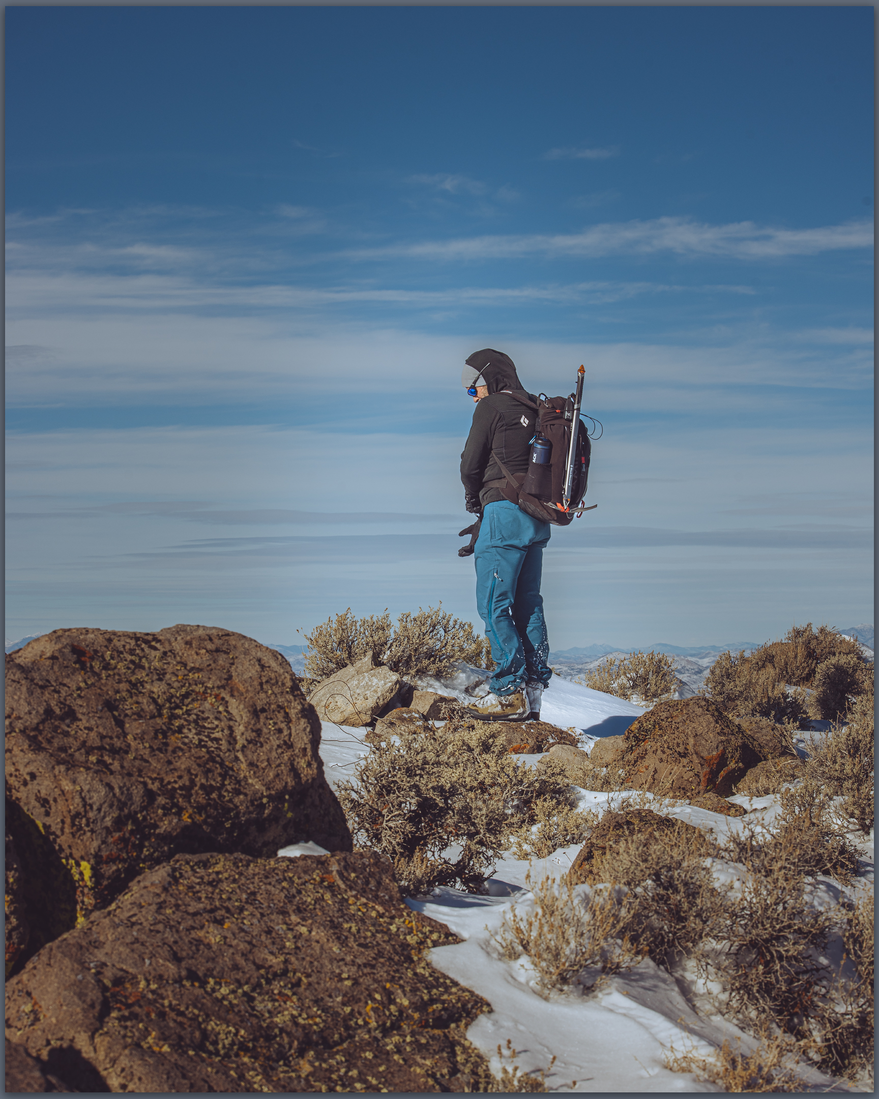
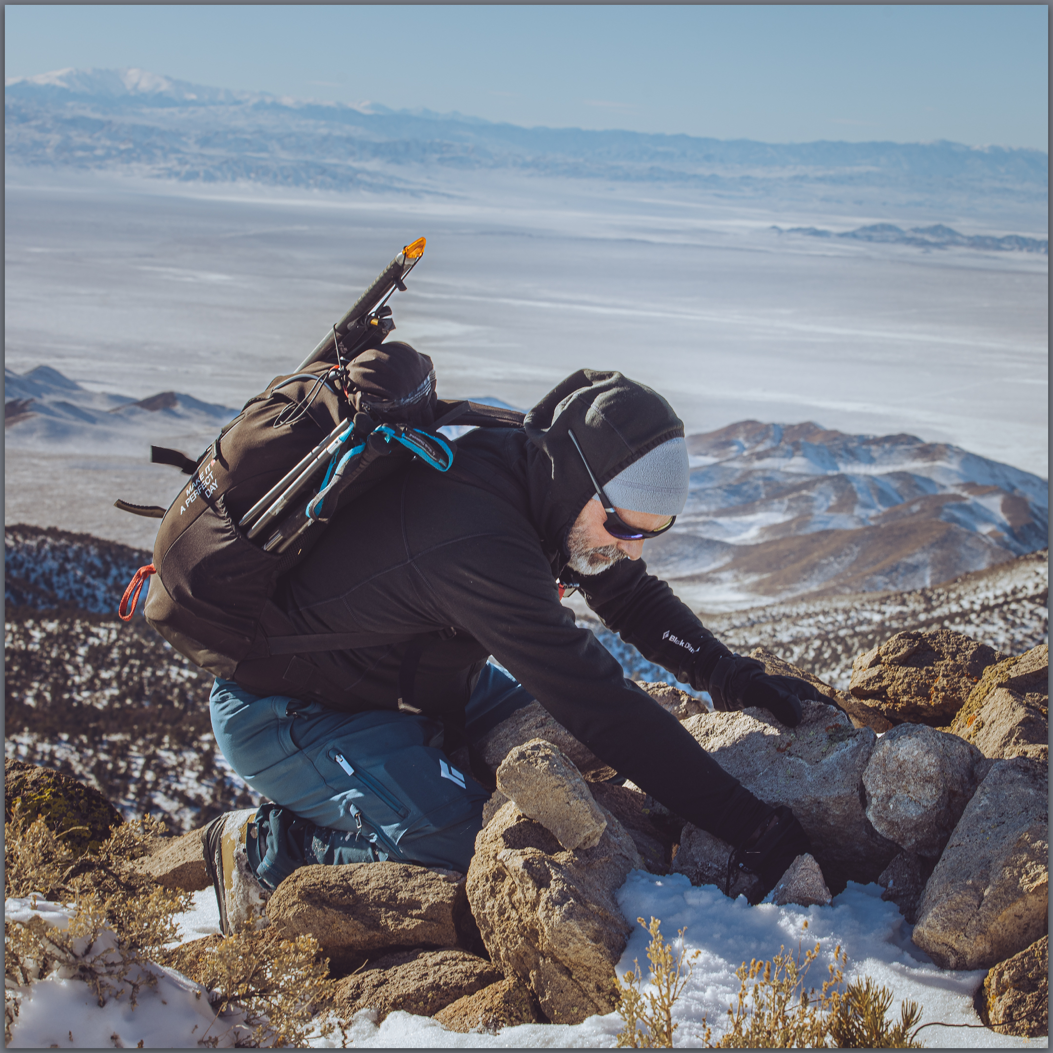
Blue skies in Gabbs Valley. Turning toward Ichthyosaur State Park, we climbed between growing snowbanks into the Paradise Range. No off-road travel today, so we parked in a crunch of deep snow, creeping in four-low just to get inches off the plowed pavement. The sun burned and bounced off the white landscape. When we stepped into the snow-bound two-track, it reached just below our knees. We were headed toward south-facing slopes of Sherman Peak, it would have to thin out.

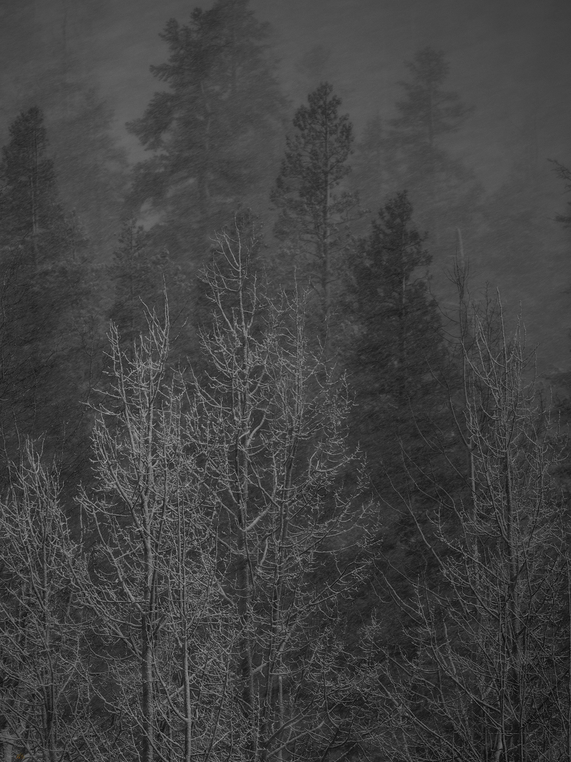
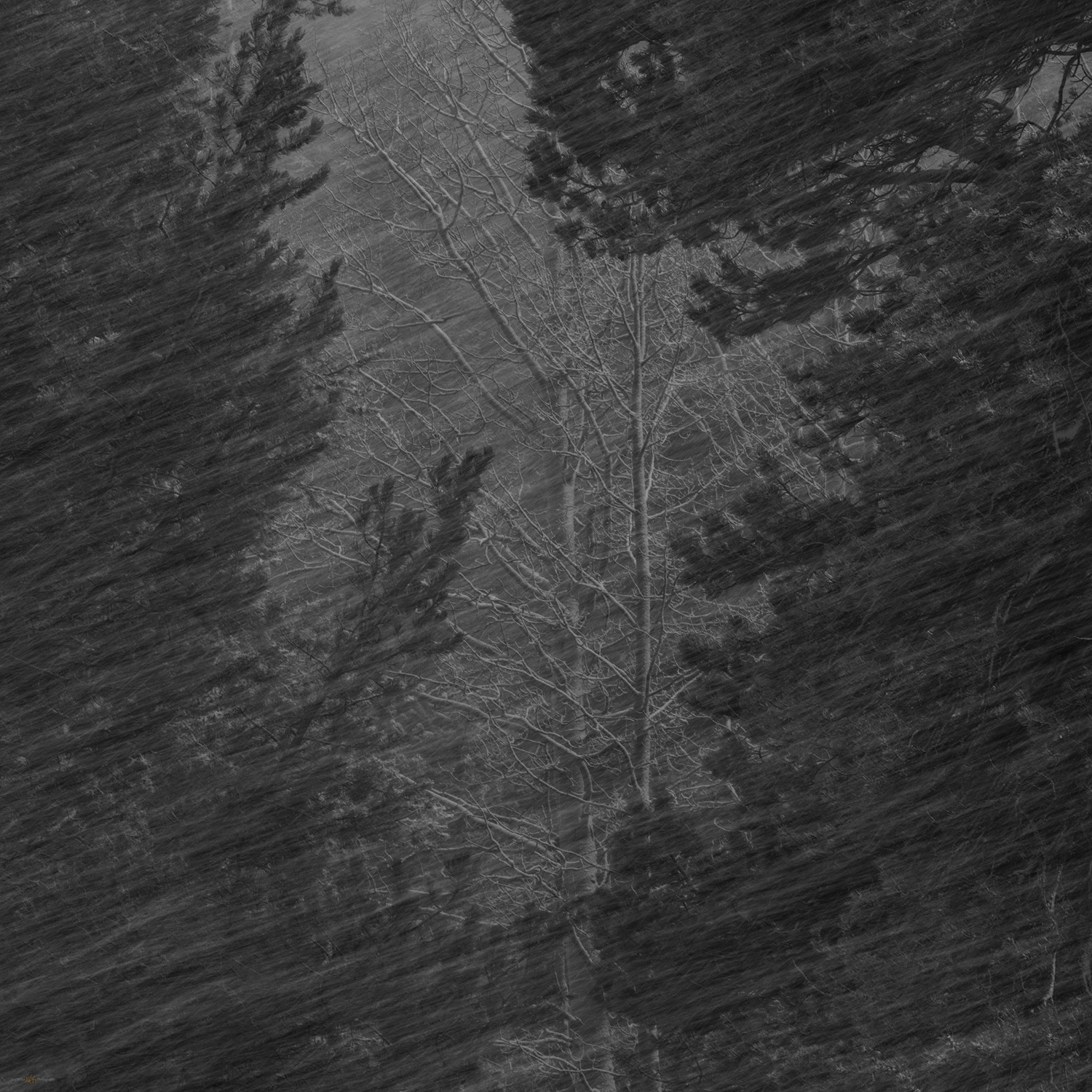
No it would not. We traversed and traversed; the snow was deeper and deeper. I had not picked a long route and figured it would be just under three miles to the high point, that takes a couple hours typically. This was dragging on as we worked away along a contour that took us on to north-facing, waist-deep drifts in a skeletal forest of snags and blow-downs. I thought about turning back; we are in the shortest days of winter solstice and time could turn against us. It was not dangerous, only more than we had psyched up for. We kept at it, of course.
The summit was a relieved reward where we turned into a newly biting wind and felt the chill of recent excursion, the heat of effort evaporating quickly. We did not linger. But our first steps downward found us stumbling and falling from snow-buried boulders, missing the next footfall we thought would be there. Repeatedly. When we got into stride we descended quickly; until we hit the deep snow of the rolling, forested slopes of the last two miles. We slogged, boots heavy with wet snow and accumulated ice. Happily at the truck, we were glad for the effort and impressed by the conditions that Paradise had thrown at us – even if our sweat had come in the relatively warmth of the solstice sun.
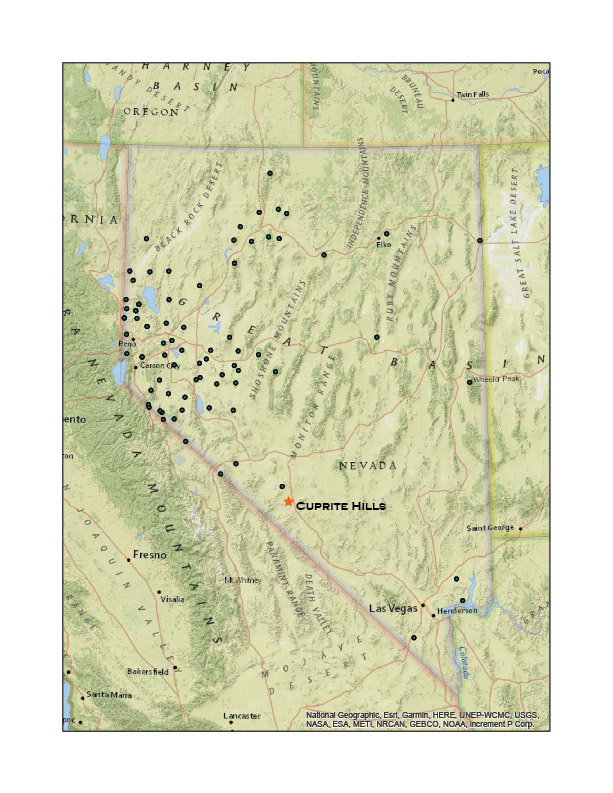
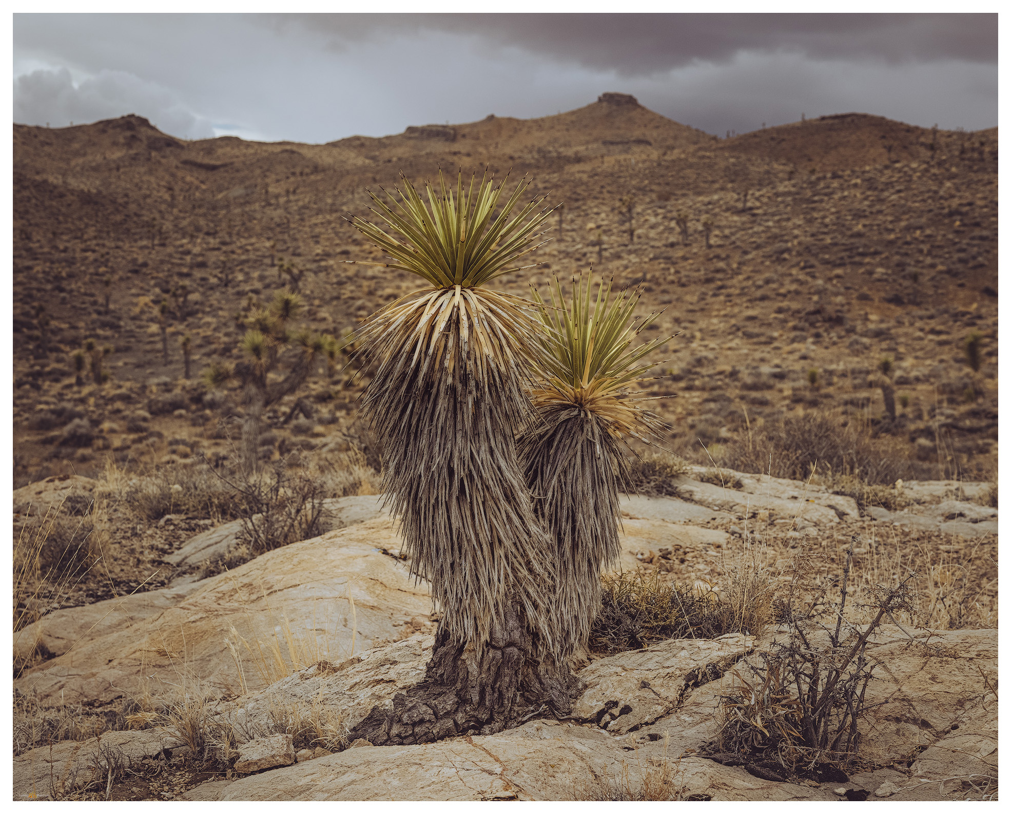
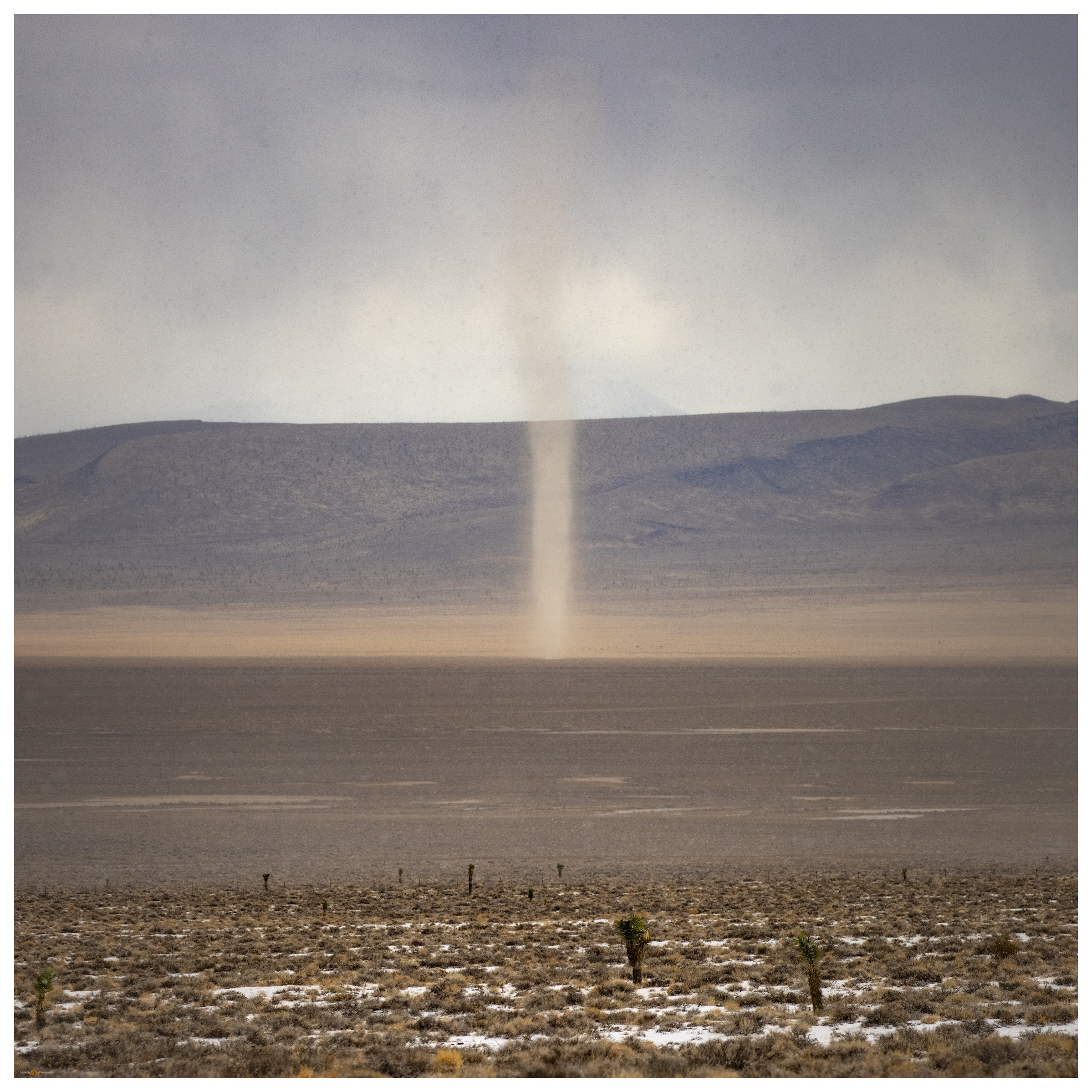
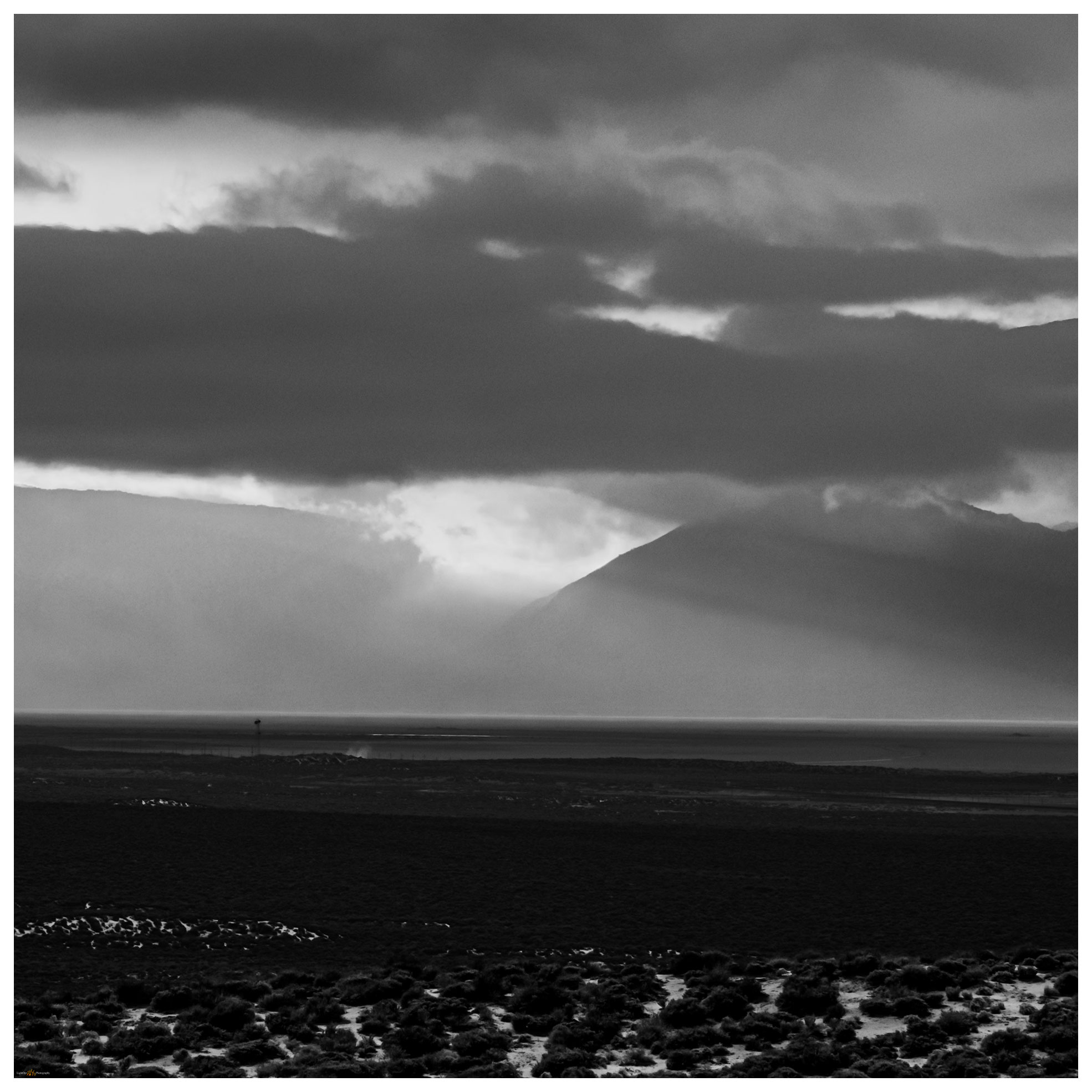
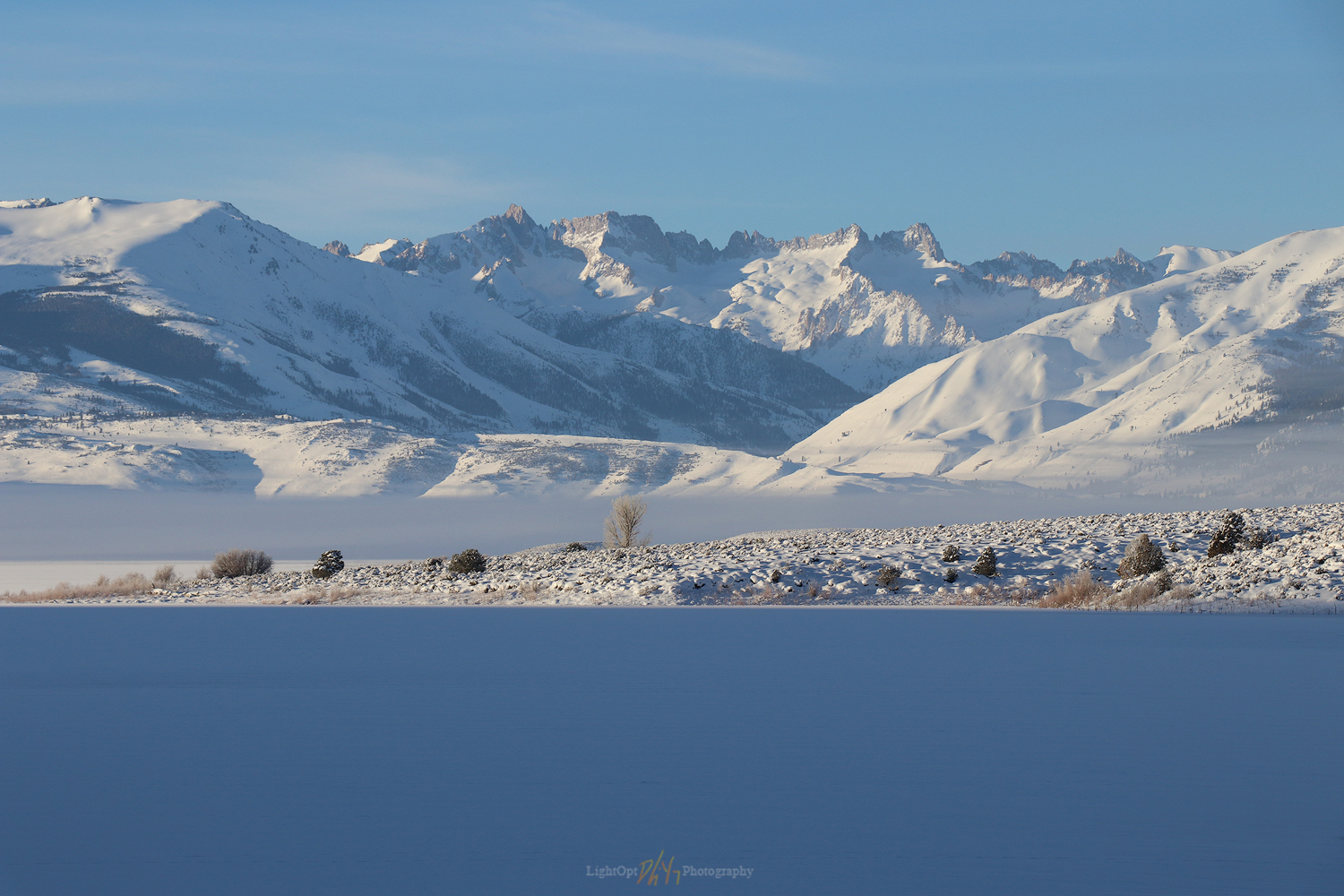
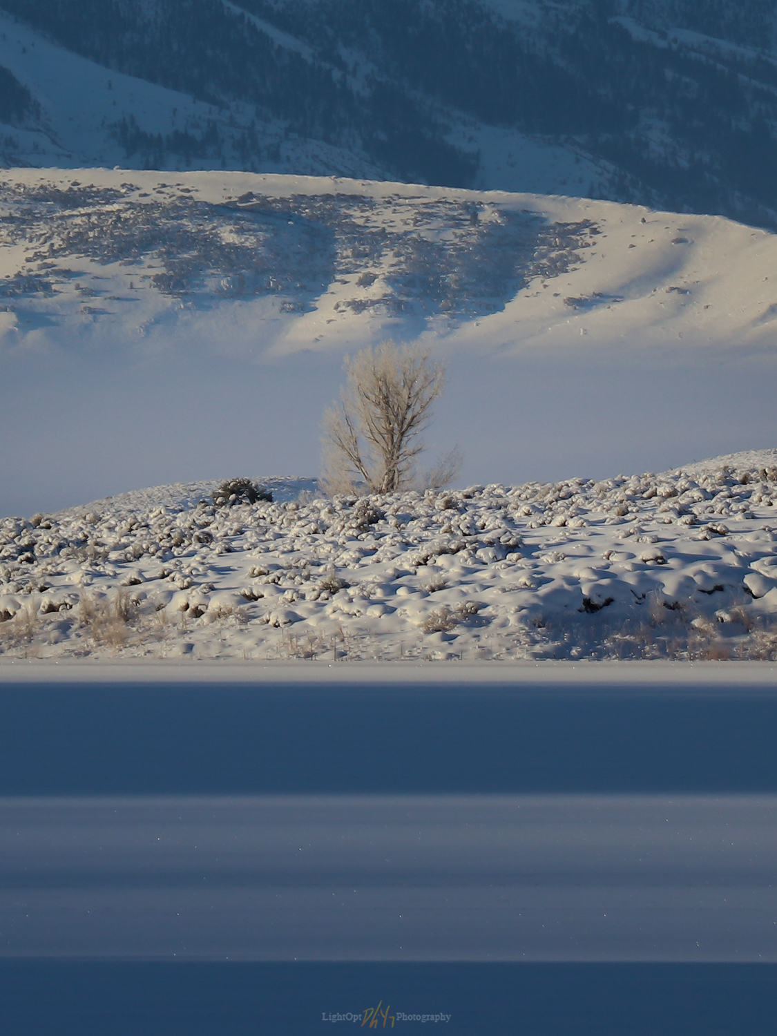
I realized after that I had not taken many photographs. At first humbled by the stark blue skies and bright white snow, I soon forgot the camera altogether as we focused on breaking trail. The views from the summit of Sherman Peak are exception, seeing a distance Sierra skyline, valley beyond valley, and the bulge of the plateaued ranges of the central Great Basin. It was dressed for winter, ready for the days to come.
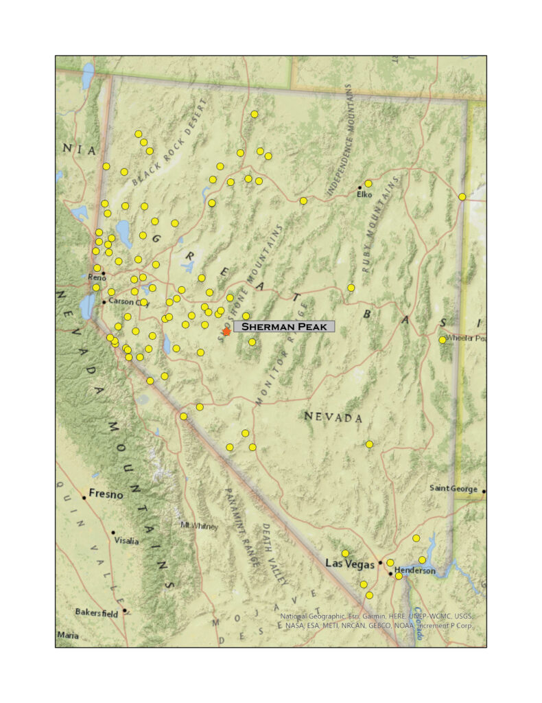
Sherman Peak – Paradise Range Collection
Please respect the natural and cultural resources of our public lands. #naturefirst #keepgoing