Obsidian nodules drape the old alluvium of the Cedar Range, flowing statically from caldera slopes in southeastern Nevada toward the Escalante Basin of southern Utah. Archaeologists refer to the toolstone as derived from the Panaca Summit or Modena sources, depending on whether their eccentricities begin in Nevada or Utah, respectively. My eccentricity revolves around the Great Basin, with little consideration, like the obsidian cobbles, with state boundaries. I am here to characterize the setting of the toolstone source and map its distribution.
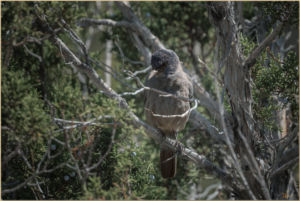
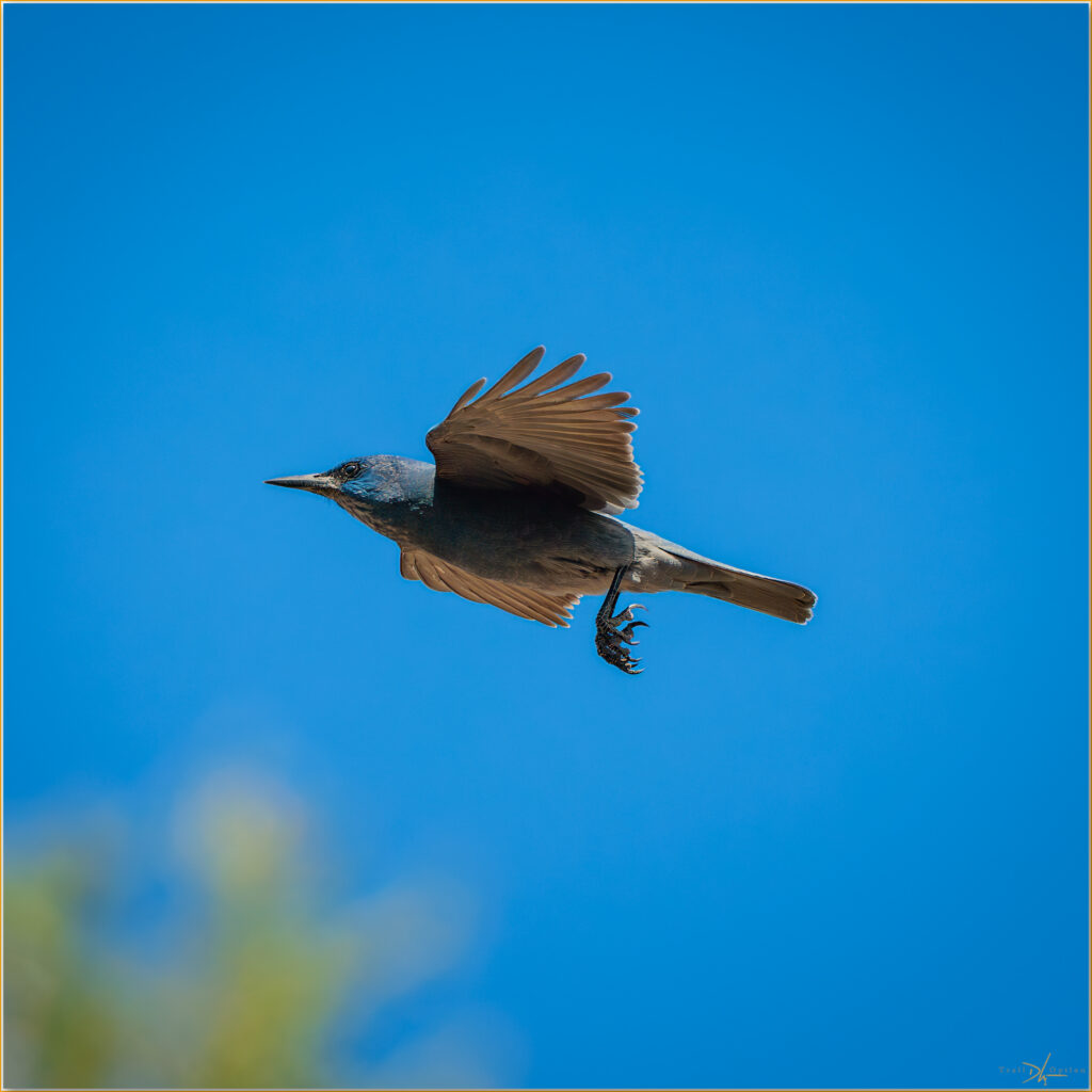
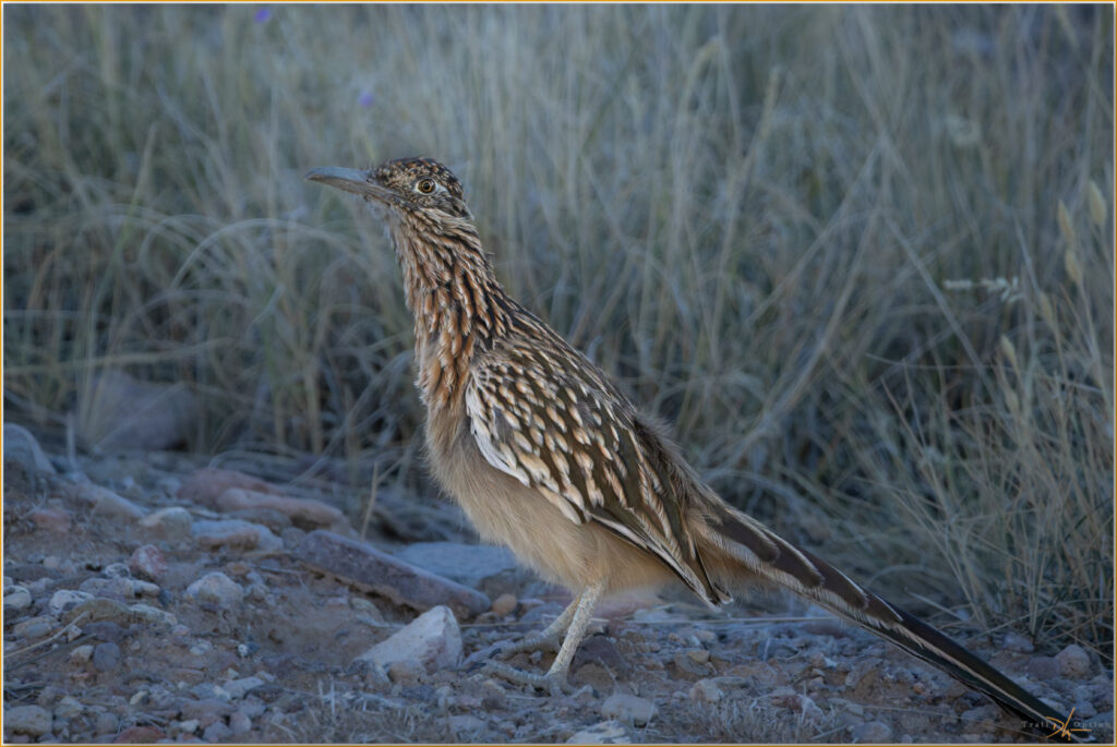
But that’s the field task, where much work remains before I can tell that story. In between wandering transects, note-filled pauses, and pencil marks on maps, I have time to see and hear other things. A variety of birds, including the Pinyon Jay, aware of its own laugh, and the enigmatic Greater Roadrunner, sprinting after lizards.
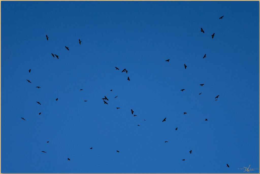
I have known rumors of the Common Raven who prides herself on the independence of her and her mate, but here at a Aermotor-fed waterhole on the Prohibition Pediment, hundreds have gathered in a soaring, congressional murder. Something’s up.
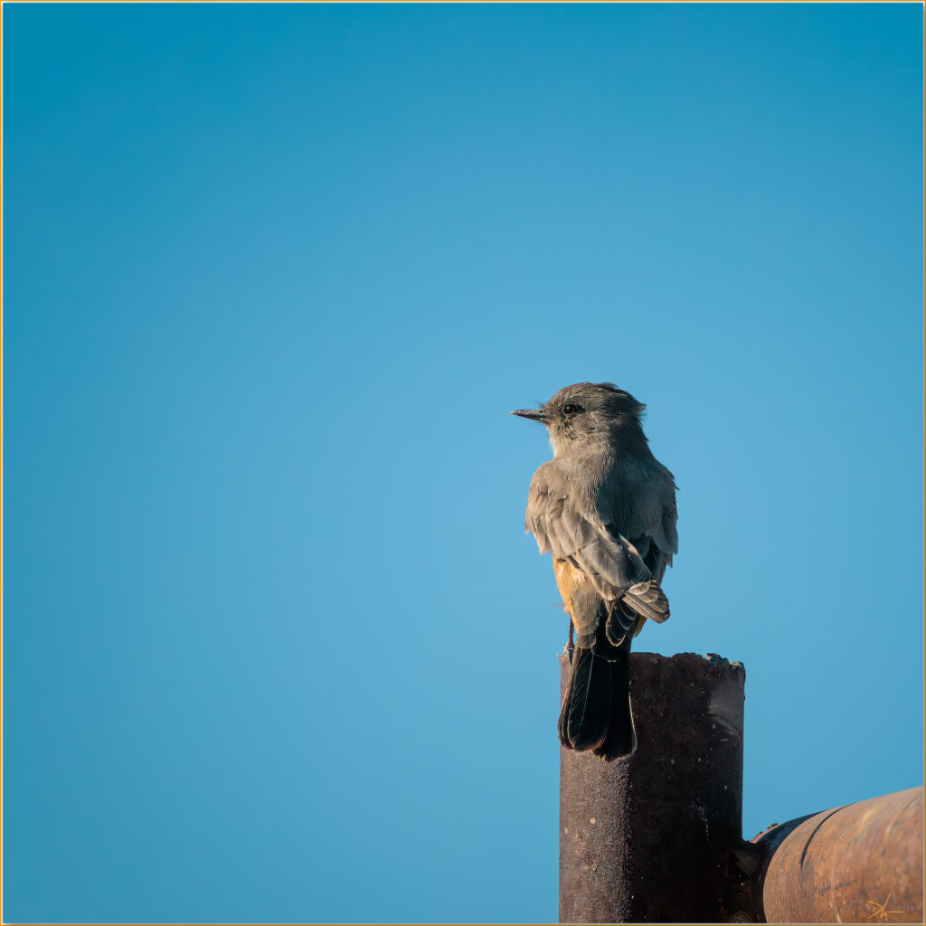
I have learned to carry a longer lens on these mapping excursions. It is attached to a full-frame camera, and this kit pairs nicely with my binoculars; this is about the birds and any other wildlife that I am lucky enough to encounter. I keep these separate from my field camera, which is a crop-sensor body with a wide zoom lens for outcrops and settings needing consistent documentation. For those who keep track of such things, my use of crop-sensor, which can be good for reaching distance subjects, is merely an economical choice. I like its small size for the immediacy of field studies, but prefer the heft of full-frame equipment when pursuing the zone of wildlife or landscape photography. I almost always have both cameras with me on or off trail. I am a Canon user out of long habit and retain a blind faith in the sturdiness and sealing that once set the brand apart from most others. Probably not as true today, and I really wouldn’t dare to differentiate the brands as I have little awareness of the others but in name only. The best camera is the one (or two) you have with you.
An amazingly cloudless morning is replaced by the dramatic rumble of monsoon storm clouds. These approach from the southeast, climbing the Cedar Range in dark, rolling masses. My radar map shows red-centered, yellow blobs slingshot from the canyon country of southern Utah, spasms of lightning reaching into Nevada. A juniper tree bursts into flames after the hot bolt of a direct-strike; it glows ominously long after the rain quiets its initial fury.
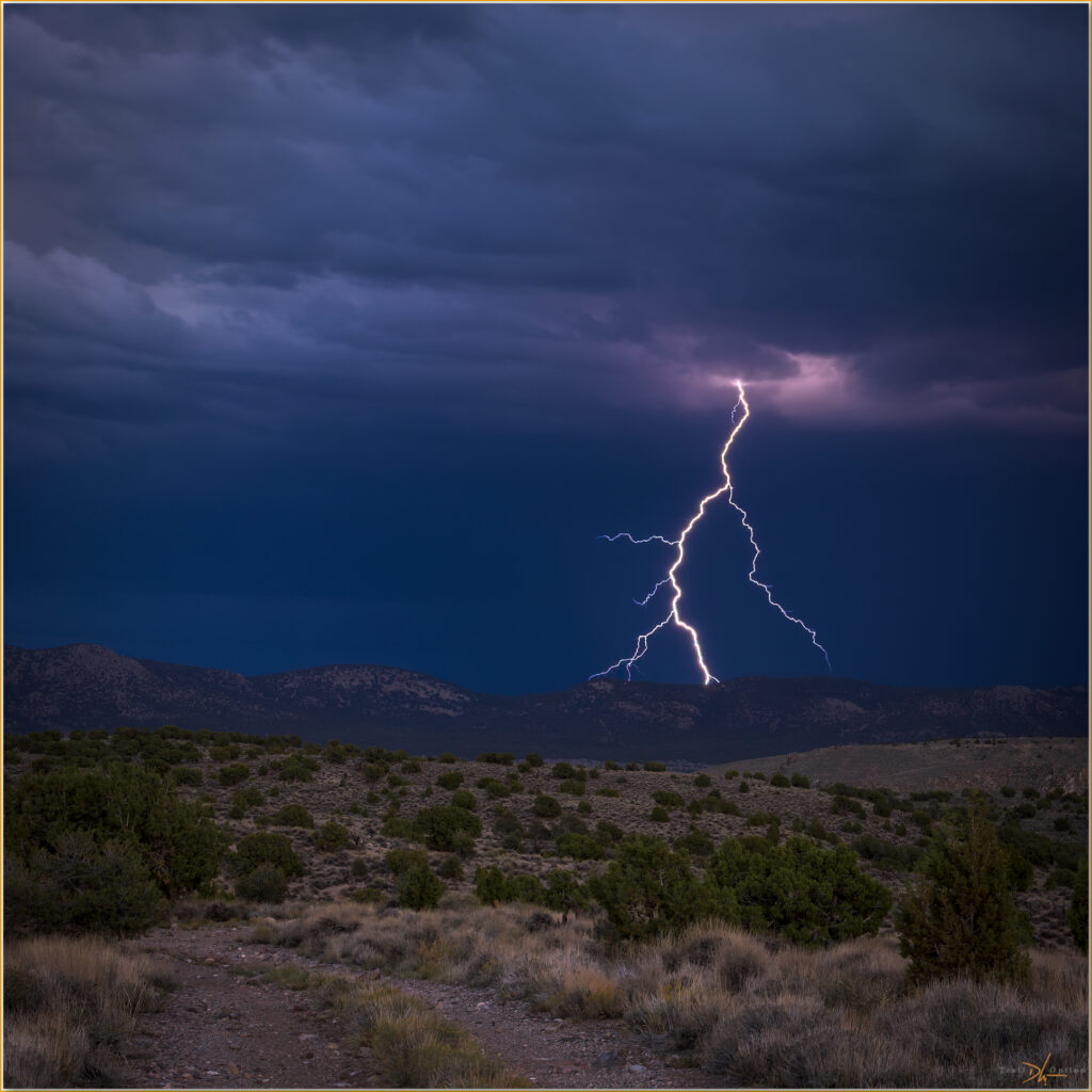
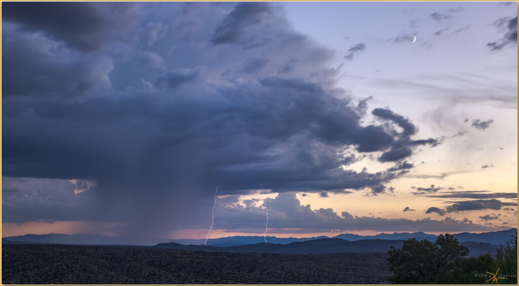
I have set my tripod in the lee of a pinyon grove to capture scenes of the storm. After experimenting with exposures and intervals, I guide the camera to create frames where bolts seem likely. Each seeming success is followed by inevitable rain, building from the first widely spaced spatters to the ultimate downpour that finds me running for cover.
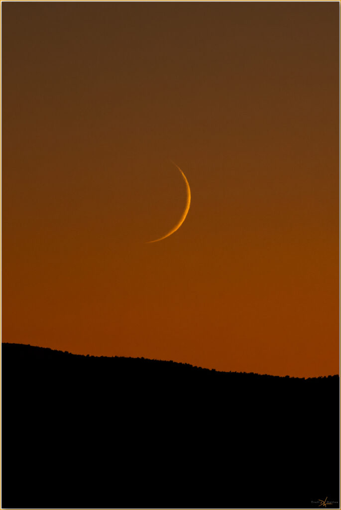
It’s over and clear soon after sunset, where a crescentic sliver of a new moon guides me into night and back to camp. A good day in the Cedar Range.
Keep going.
Please respect the natural and cultural resources of our public lands.
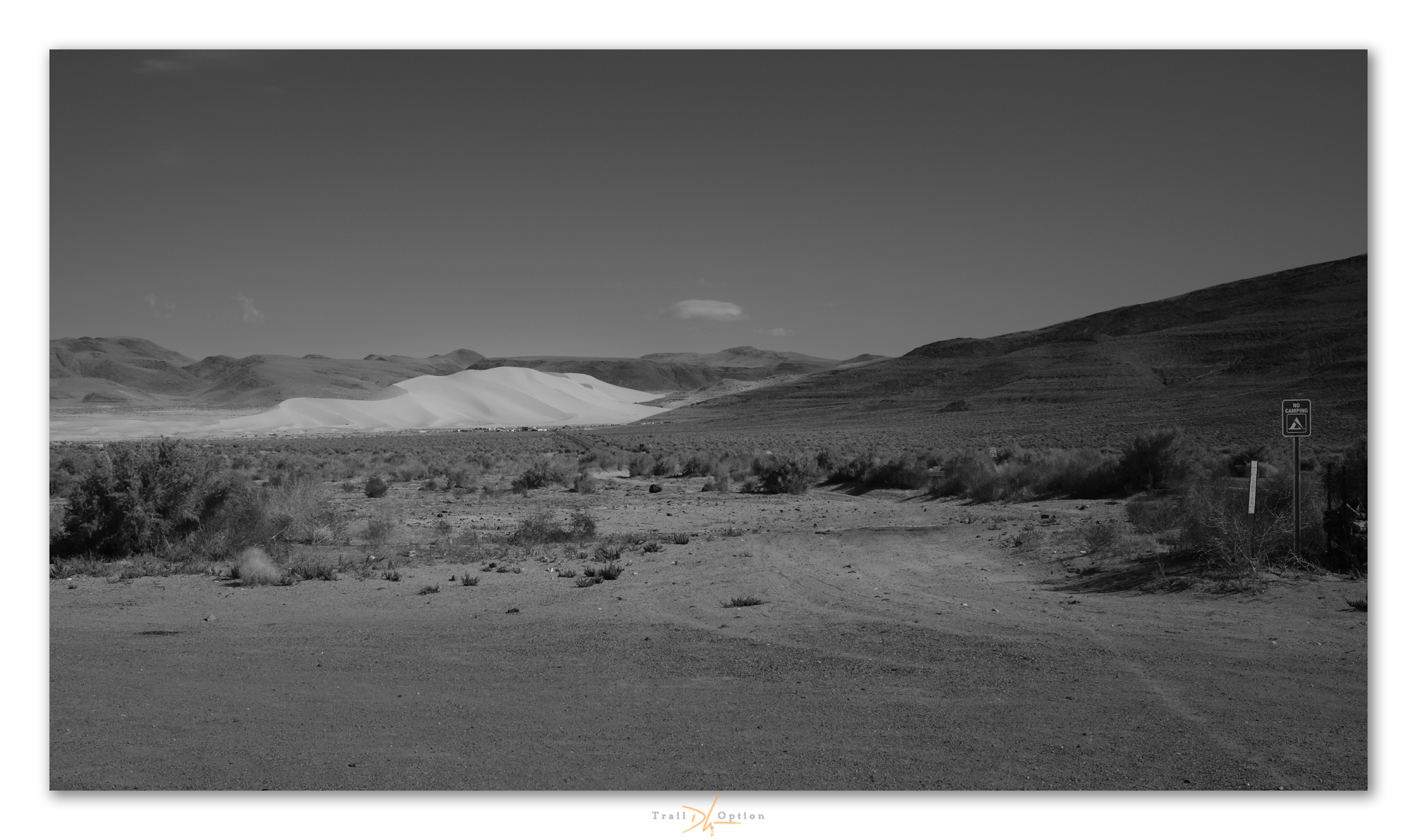
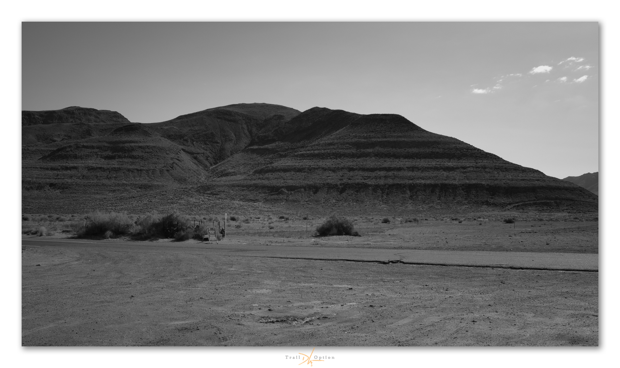
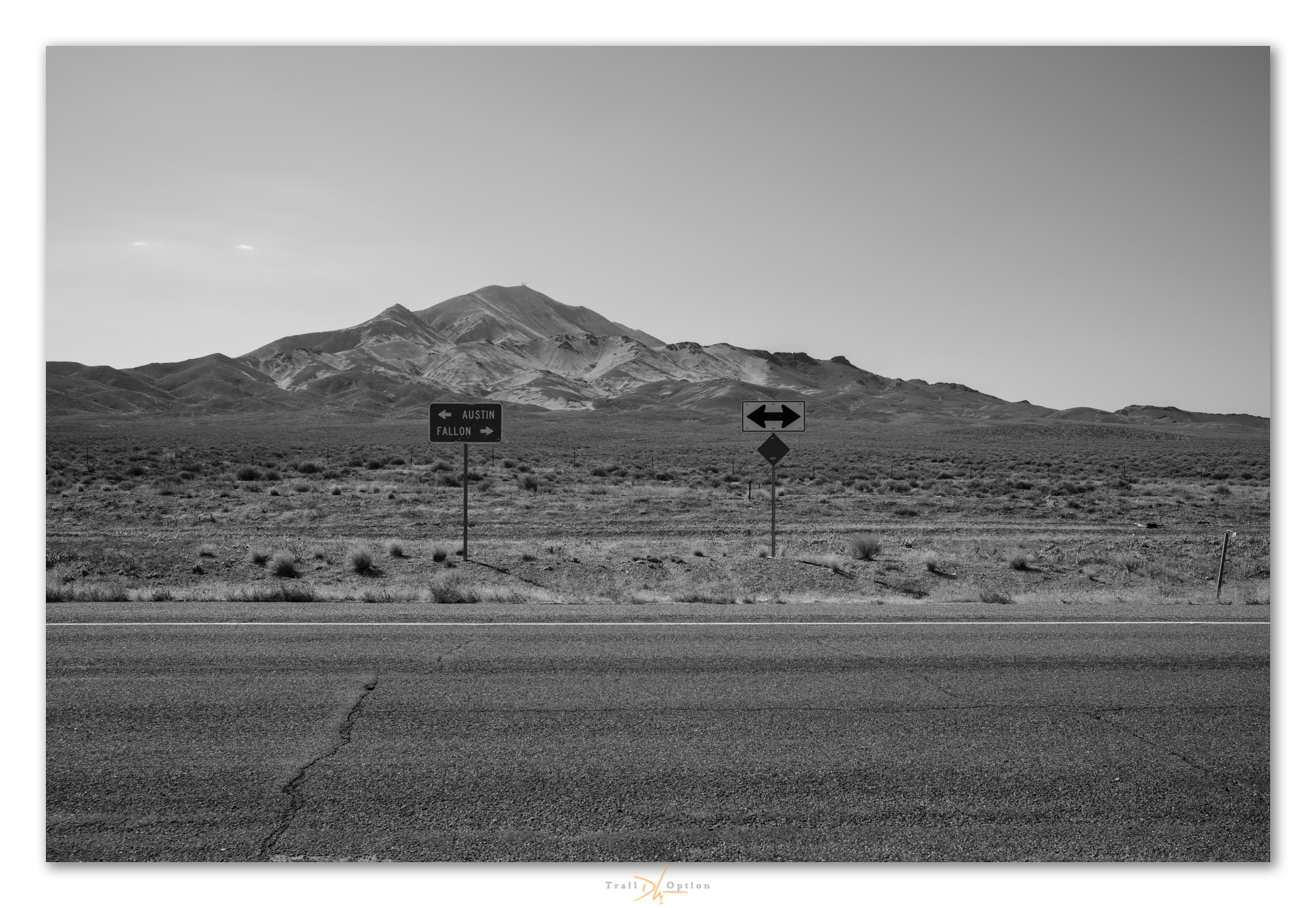
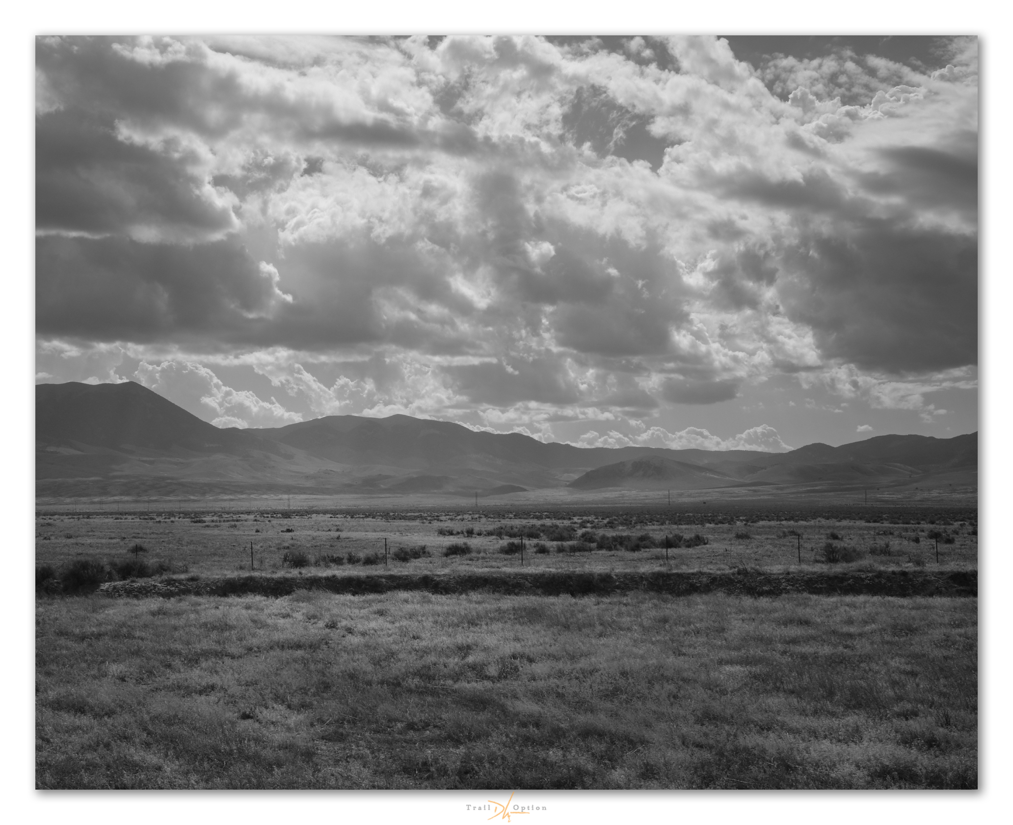
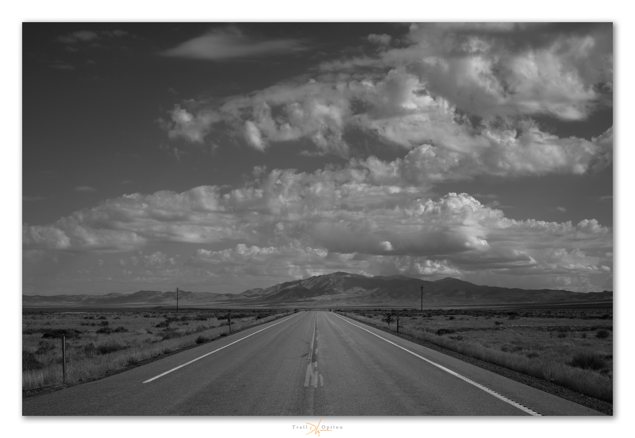
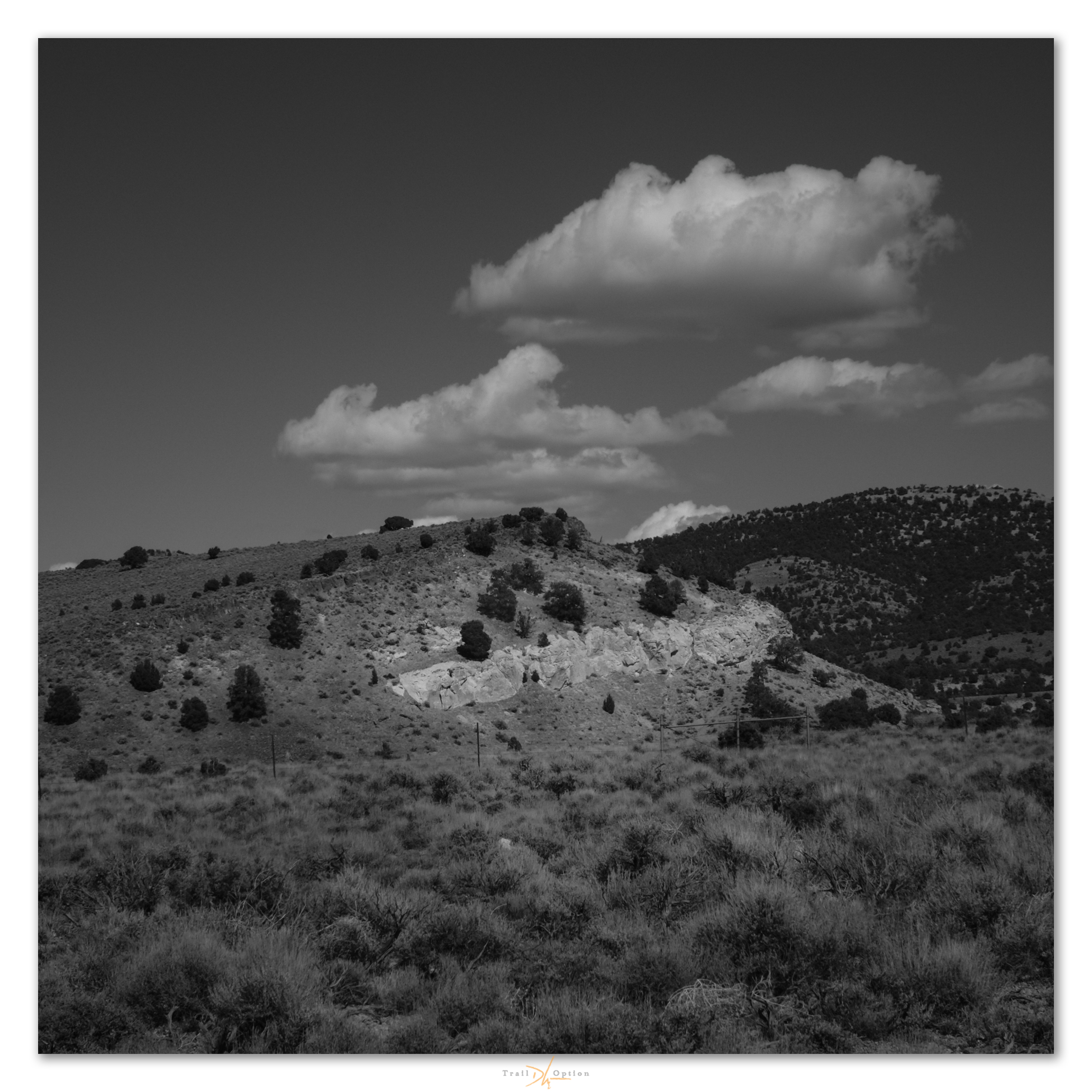
Outbound roadside in black-and-white imagery

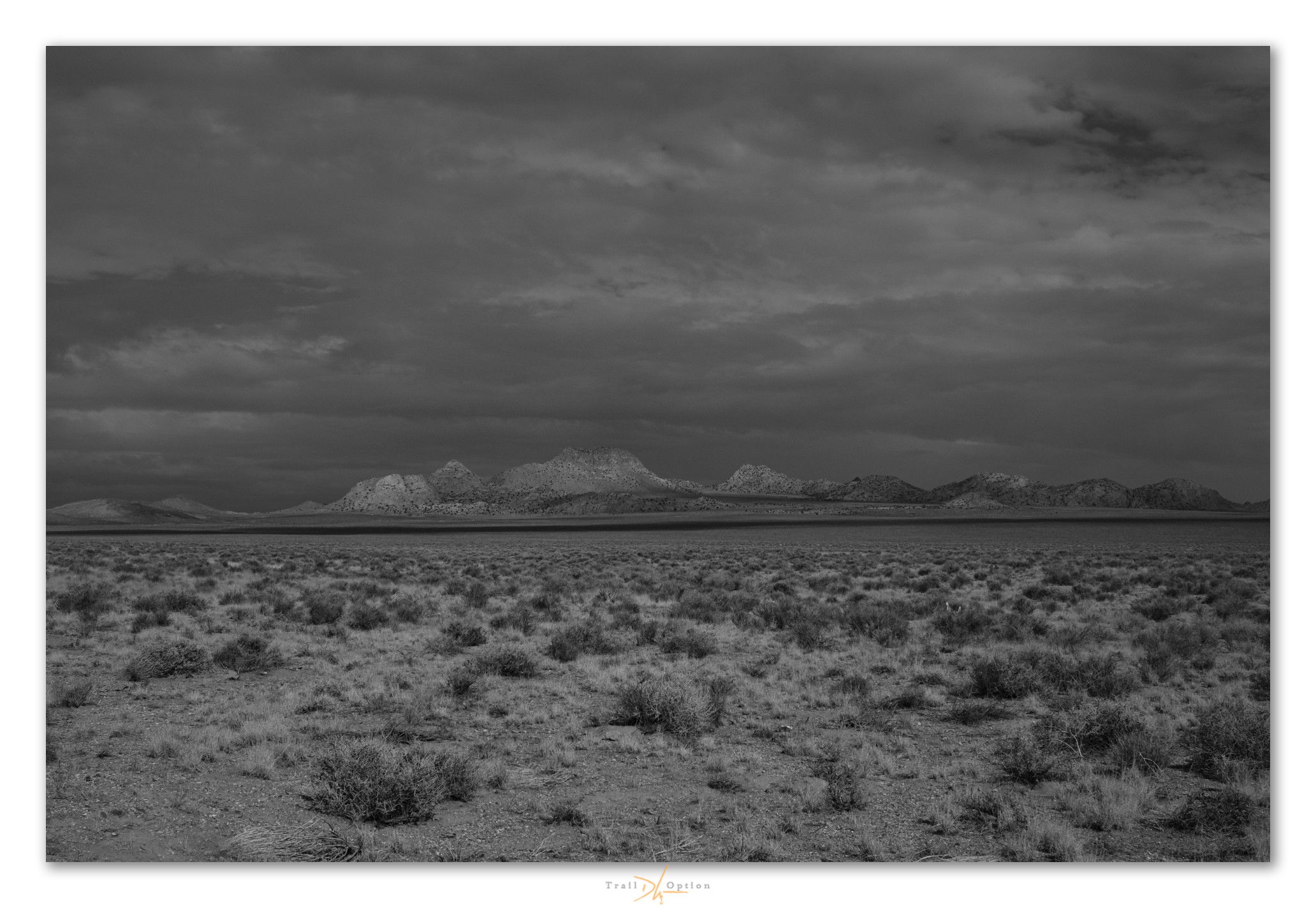
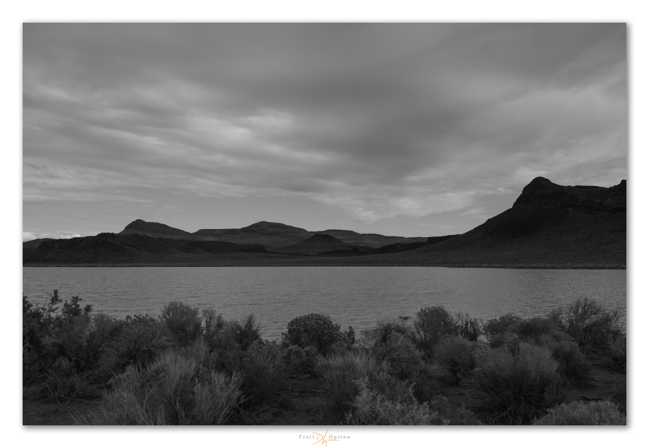

Inbound roadside in black-and-white imagery
“These images and words are a reflection, simply and wholly, of my respect for our public lands and the public science and occasional art I am, and we are, able to do there. Our ability to create and think are not trivial, and wild space and healthy ecosystems nourish such things. It is here that we will find our better selves, even as the misdeeds of a few threaten much that, until recently, provides for our common good. Keep going.“