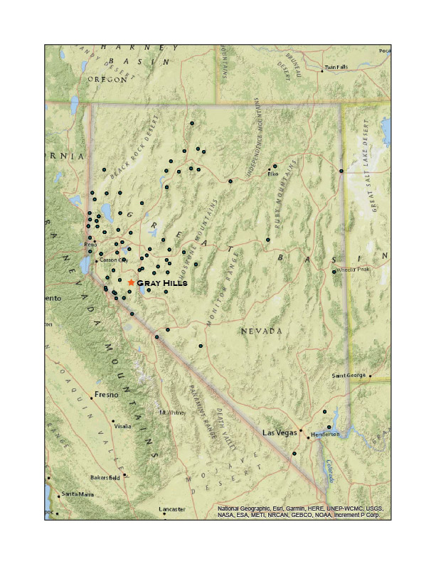
It is a nice Sunday afternoon, why not get out to close high point? I have, of course, visited most of the ranges and hills near our home, so my choices are limited – I am basically running out of short trips if it is new a new high point I seek. The Gray Hills above the East Fork of the Walker River remain a target and they are not too far away. Plus, for some reason, I have yet to explore the reach of the river hidden behind the Cambridge Hills where alluvial fans end their drainage journey from the much higher Wassuk Range to the east. The Gray Hills rise to guide the river’s course toward the town of Yerington in Mason Valley where it eventually joins its west fork.
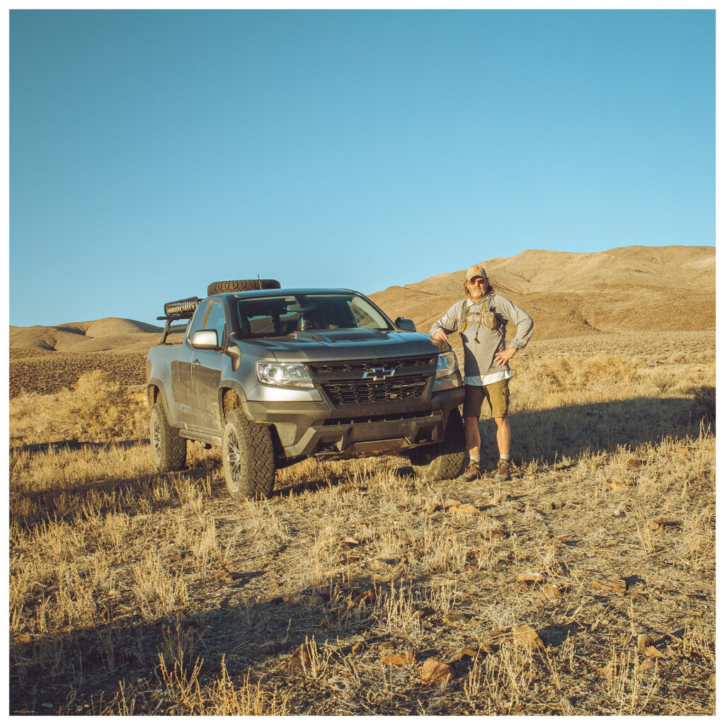
I drove along the East Fork, circling the hills before beginning the summit hike. Passing through Nevada’s newest State Park – campgrounds are wide open but look good for dark skies, birding, and fishing, I turn up a gullied two-track to the old Bonneville DC transmission line. I have encountered the line and its maintenance road many times along its practically straight-line route from the Columbia River to Los Angeles. While I prefer an undivided stretch of roadless area, I am humanly hypocritical as I enjoy any overland excursion in my truck – this line-maintenance road has taken me across three states and ruined the view at the same time.
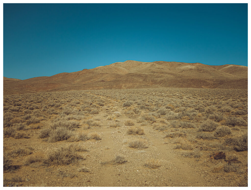
I park at a dry trough. This spot has been abandoned for a long while, no tracks or manure of livestock, and no evidence of use by local wildlife other than a ground-squirrel that dives beneath the trough as I drive up. I avoid active waterholes so that any thirsty critters are not discouraged from a drink. From the trough, it is a two-mile walk to the Gray Hills summit.
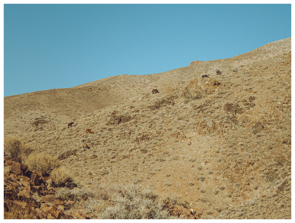
It is any easy walk following an arm-like ridge of the low volcanic hills. I climb quickly to the arm’s elbow, passing a small group of feral horses, and then scramble through a set of crumbling cliffs to the large, rounded summit. You would never find the ‘high point’ on the broad crown, but a cairn marks a rather good guess.
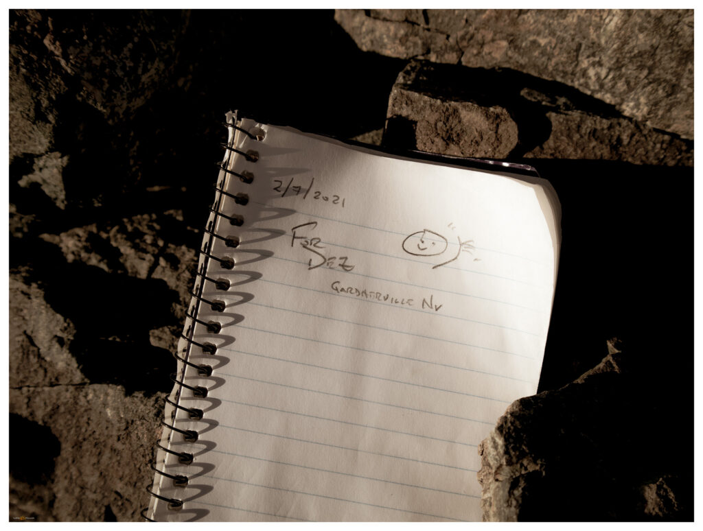
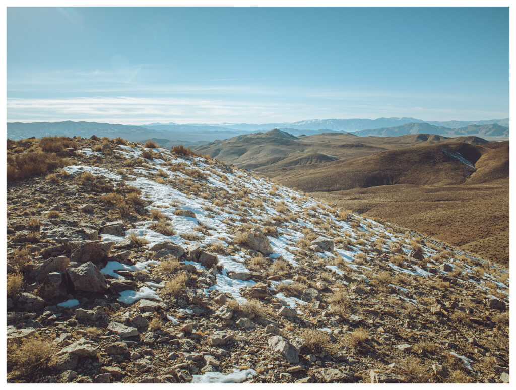
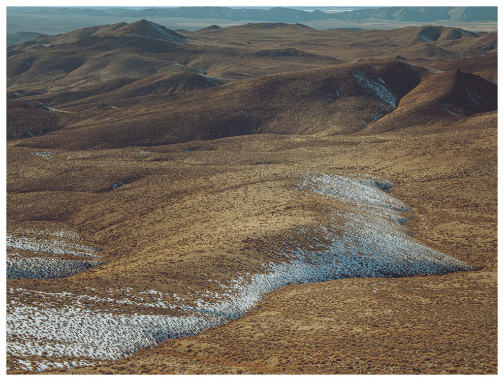
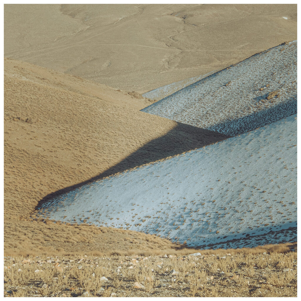
The Gray Hills are neither prominent nor dramatic, but the high point, along with its climbing ridges and descending valleys, makes for some good views. Mount Grant rises to the south. Valleys and ranges roll out in all directions. I bask in a warm, January sun, happy that I wore shorts today. I work my way down the mountain at a trot but pause often to admire the patterns of cold-blue snow opposed to warm-gold sage. My descent coincides with sunset and the contrast of south-facing and north-facing slopes is beautiful – the opposite of our typical early morning climbs.
I track along the dirt roads of Rafter 7 Ranch and into Pine Grove Valley. It feels oddly like spring and I drive through the dusk, windows down, until a meet the dark pavement and highway to home.
Keep going.
Please respect the natural and cultural resources of our public lands.
